24-Night Ancient Trade Routes Voyage
24-Night Ancient Trade Routes Voyage
Cruise overview
WHY BOOK WITH US?
- ✔ The Deluxe Cruises’ team has extensive experience in ultra-luxury cruising.
- ✔ Call now to speak to our helpful and experienced Cruise Concierge team.
- ✔ Enjoy our Unique Deluxe Cruises Bonus for substantial savings.
- ✔ Our team will tailor your holiday to your exacting requirements.
- ✔ As agents, we work under the protection of each cruise lines ABTA / ATOL licences
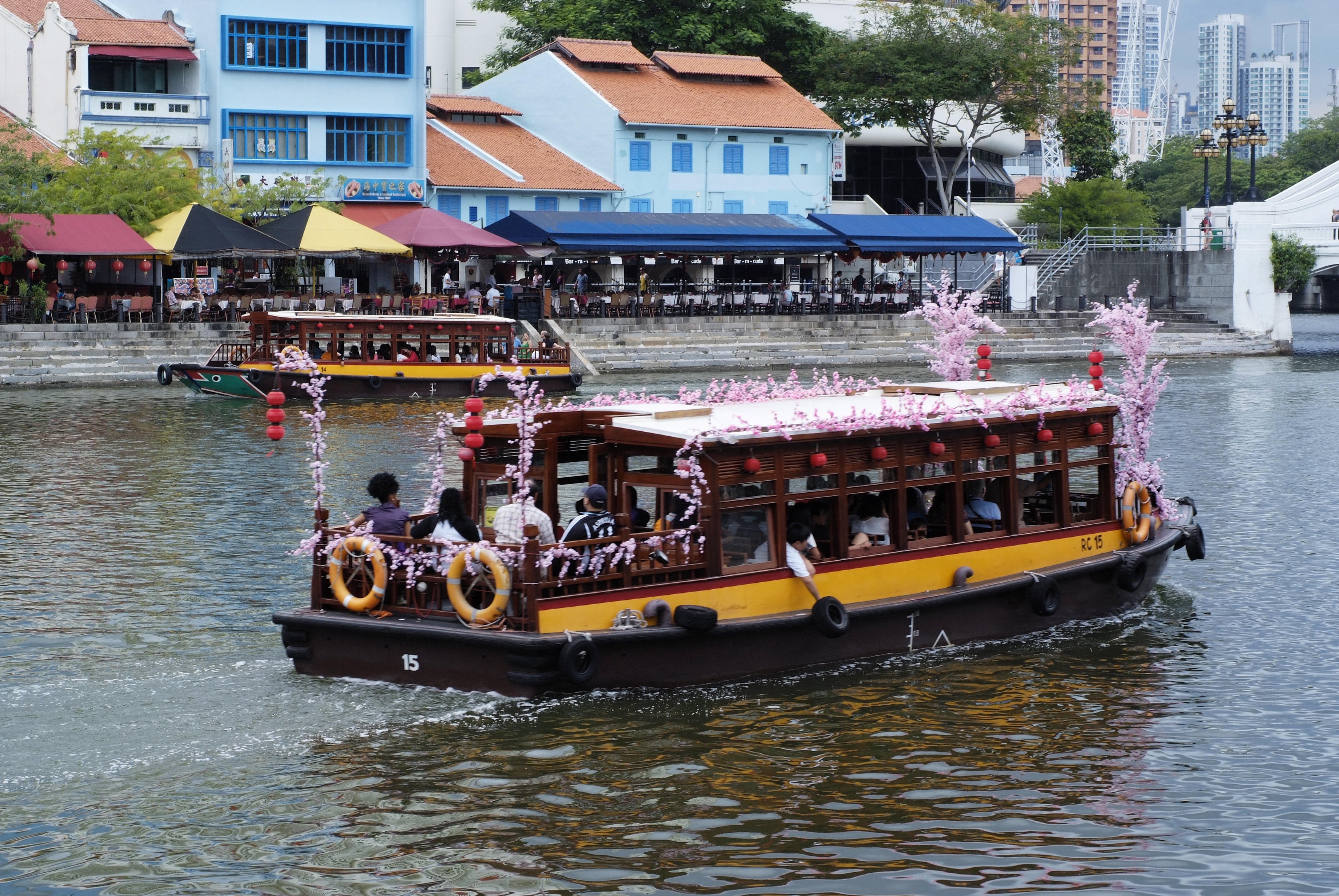
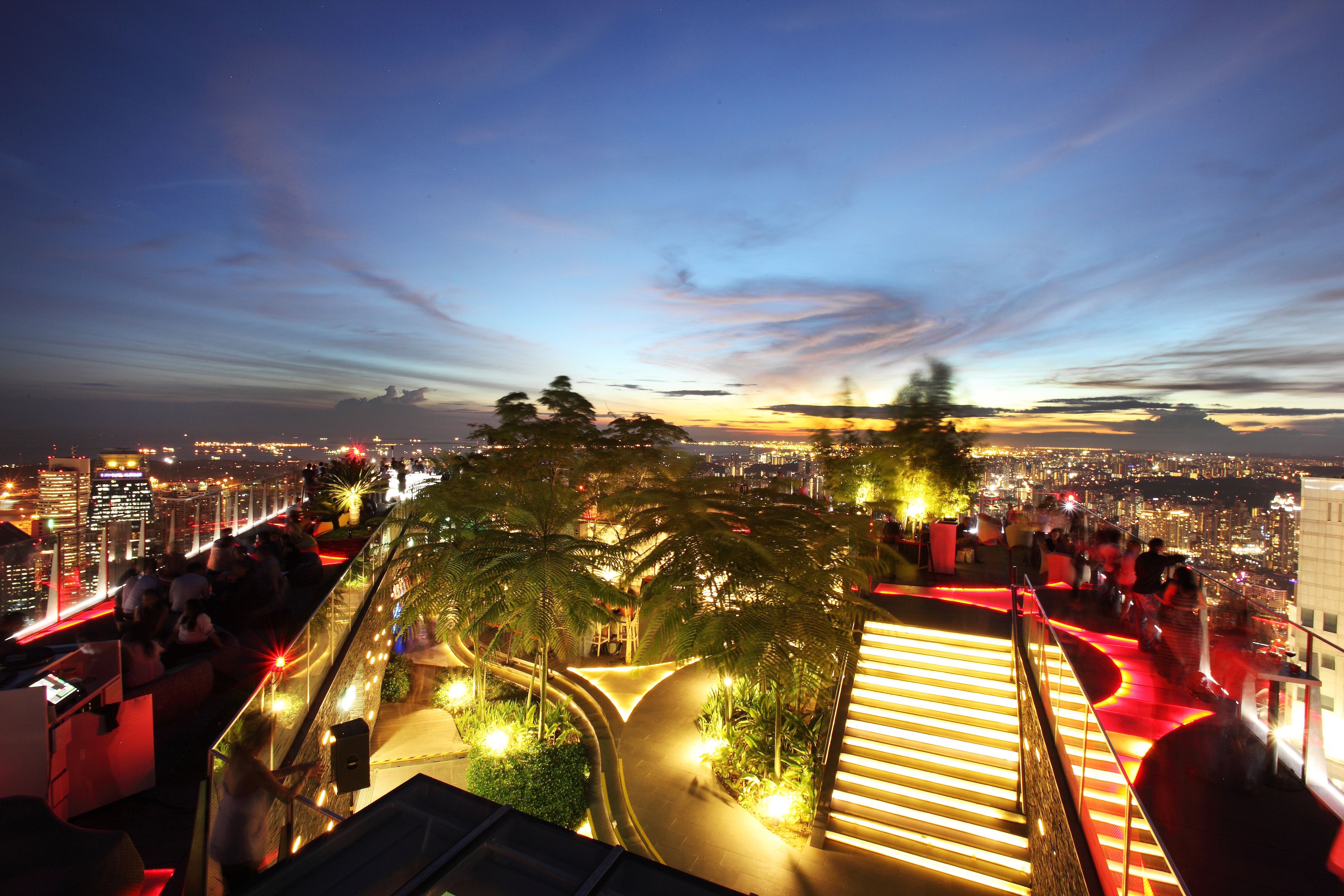
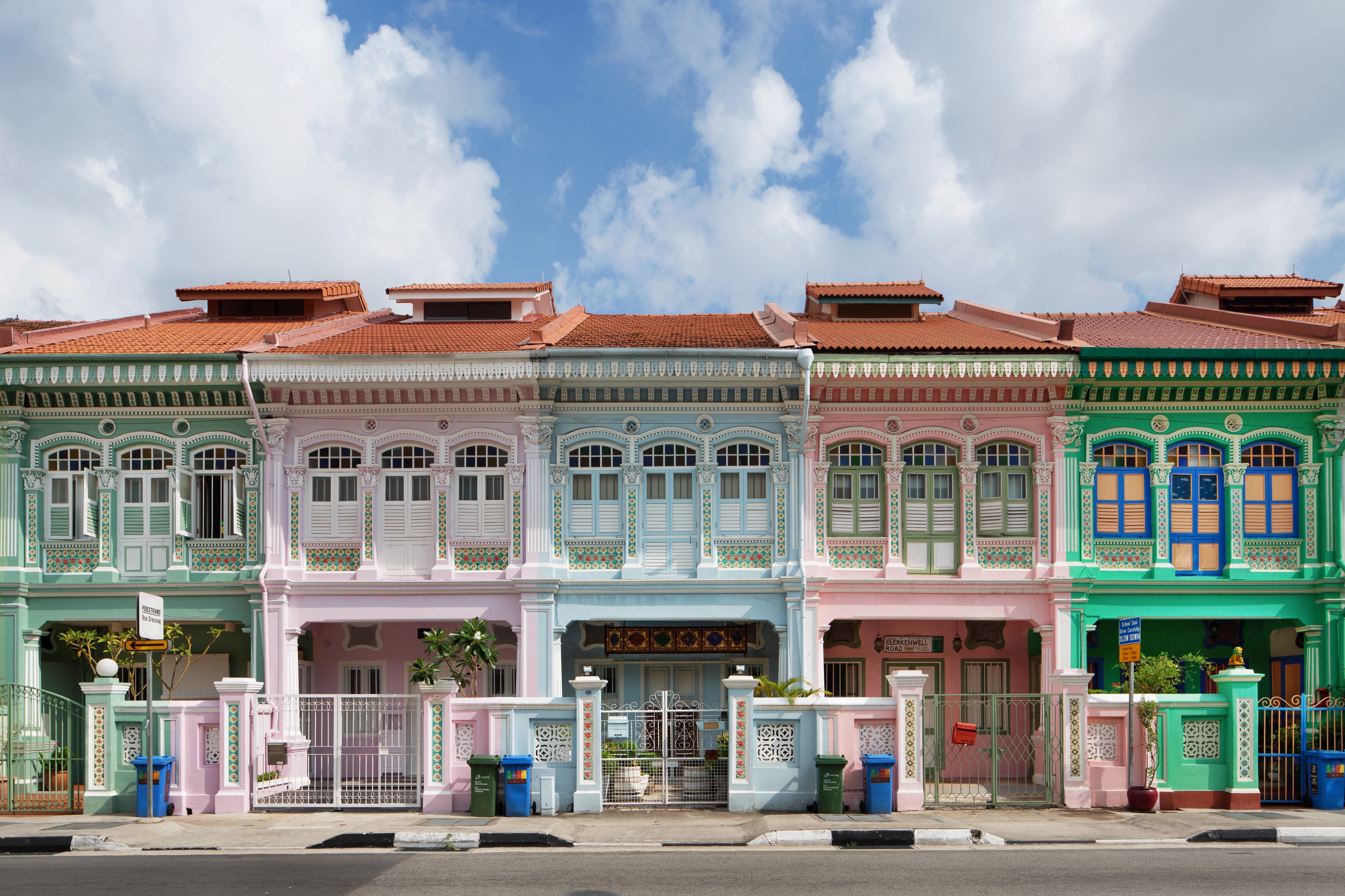
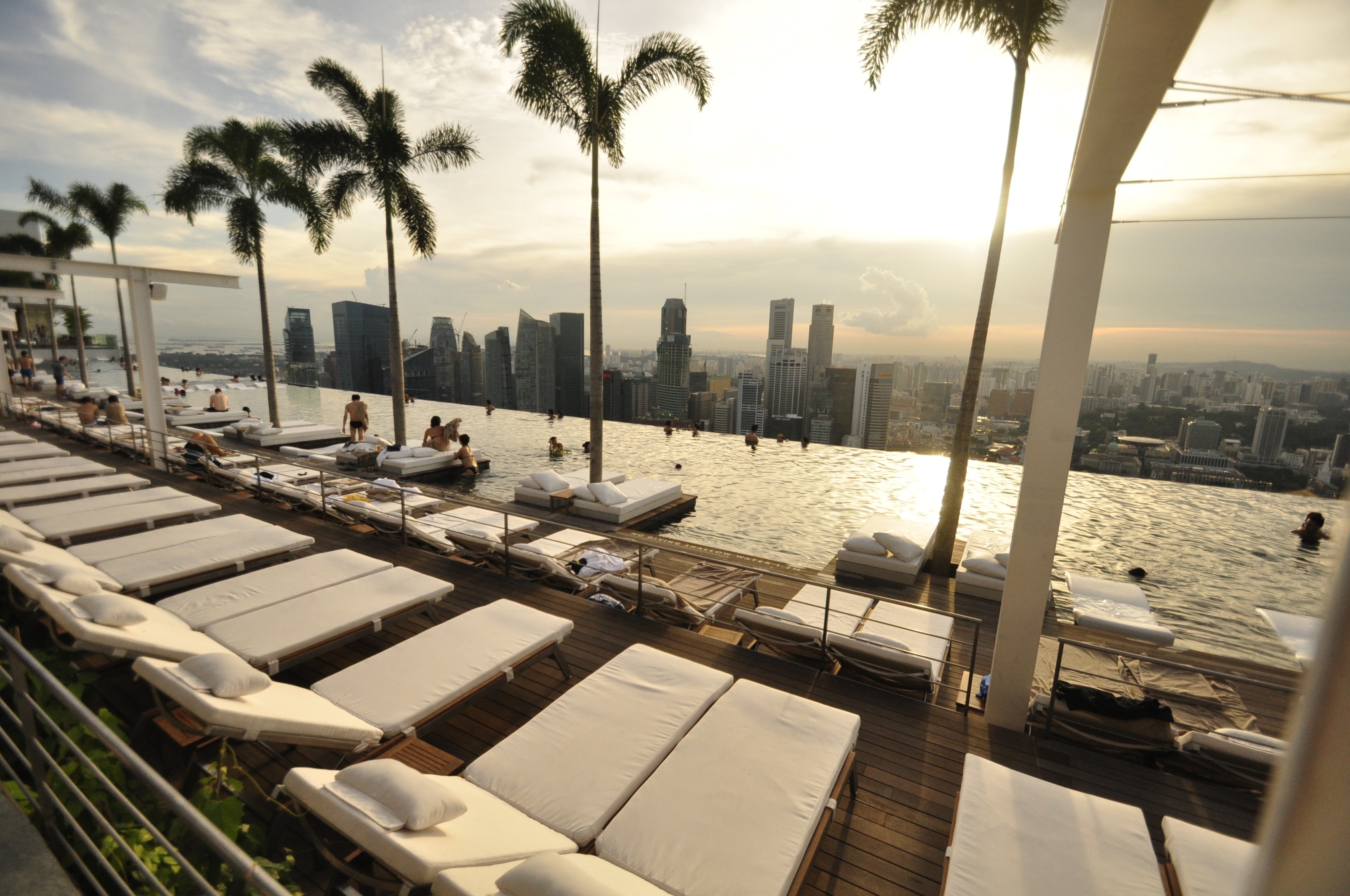
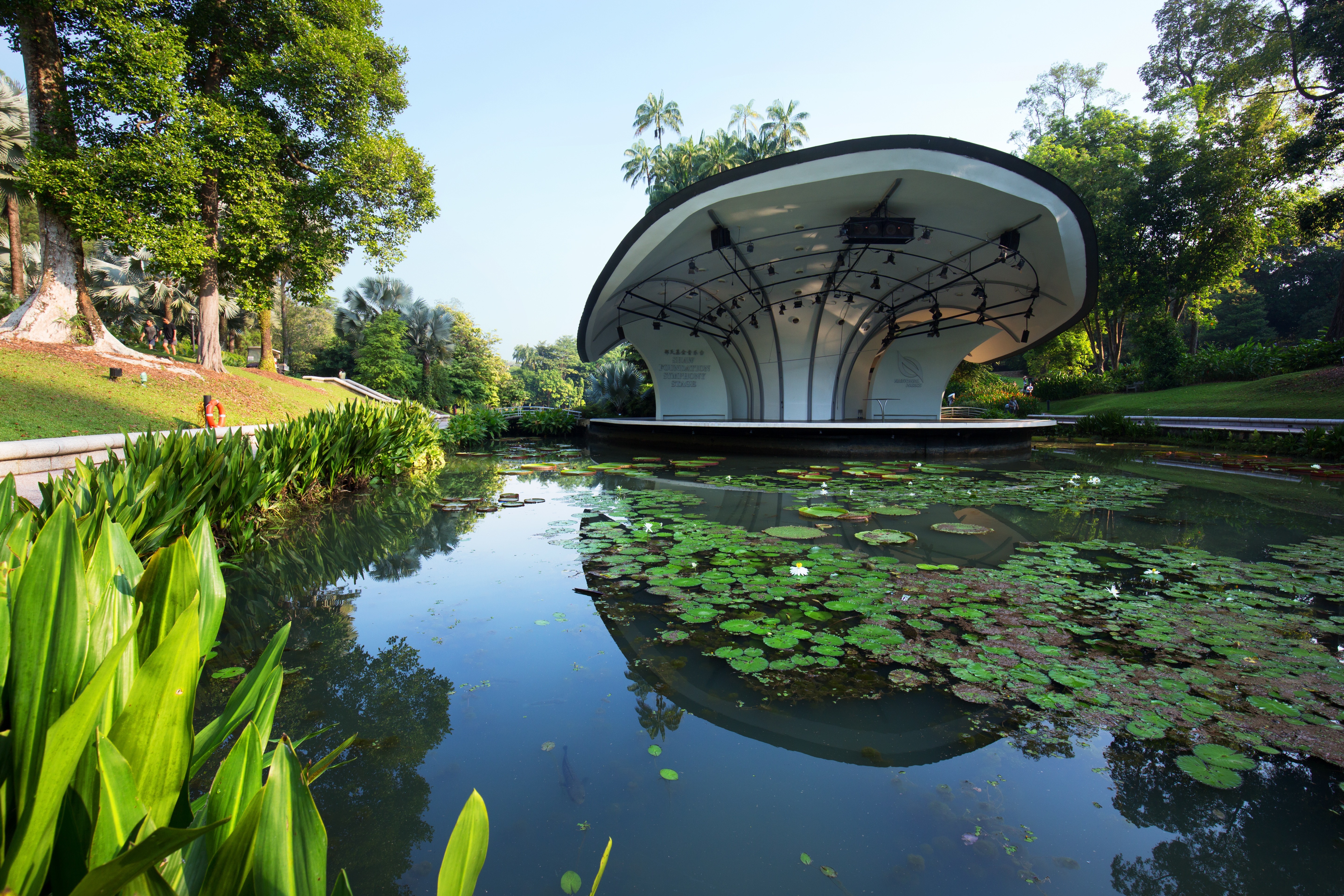
About Singapore
The main island of Singapore is shaped like a flattened diamond, 42 km (26 miles) east to west and 23 km (14 miles) north to south. Near the northern peak is the causeway leading to West Malaysia—Kuala Lumpur is less than four hours away by car. It is at the southern foot where you will find most of the city-state’s action, with its gleaming office towers, working docks, and futuristic "supertrees," which are solar-powered and serve as vertical gardens. Offshore are Sentosa and over 60 smaller islands, most uninhabited, that serve as bases for oil refining or as playgrounds and beach escapes from the city. To the east is Changi International Airport, connected to the city by metro, bus, and a tree-lined parkway. Of the island's total land area, more than half is built up, with the balance made up of parkland, farmland, plantations, swamp areas, and rain forest. Well-paved roads connect all parts of the island, and Singapore city has an excellent, and constantly expanding, public transportation system. The heart of Singapore's history and its modern wealth are in and around the Central Business District. The area includes the skyscrapers in the Central Business District, the 19th-century Raffles Hotel, the convention centers of Marina Square, on up to the top of Ft. Canning. Although most of old Singapore has been knocked down to make way for the modern city, most colonial landmarks have been preserved in the CBD, including early-19th-century buildings designed by the Irish architect George Coleman.


About Hambantota

About Colombo
Sri Lanka's capital and largest city, Colombo offers fine restaurants, a buzzing nightlife scene, and good museums, parks, and beautiful Buddhist temples that are all worth visiting. The beach resort of Mt. Lavinia is only a short taxi ride from the downtown area and offers a golden, sandy beach and sunset views to die for. As an exciting blur of colors and cultures, Colombo presents a neatly packaged microcosm of this island nation.

About Jeddah

About 'Aqaba
The resort town of Aqaba, on the Red Sea at the southern end of Jordan, is a popular spot for divers with some of the best coral reefs in the world. Snorkeling and other water sports are popular, and it's easy to hire a boat for a day or half-day, including lunch.Aqaba has become quite a bustling destination, with several large luxury hotels and a large shopping area. There are many jewelry stores selling pearls, gem stones, and gold and silver jewelry. It's worth noting that although it's an international beach resort, Aqaba is quite conservative—certainly much more so than Amman—and North Americans tend to be more comfortable at the private hotel beaches.

About Safaga
Port Safago has been undergoing a transformation, slowly metamorphosing into a holiday rsort. Like other cities on the Red Sea, the commercial port town sits close to great offshore dive sites. Unlike others, however, tourist development hasn't taken off in a meaningful way. But if the mass tourism in Hurghada is a turnoff, Safaga offers a small-scale and much more low-key alternative, though the best dive sites can still be seen on a day trip from Hurghada. Safaga is also the closest beach resort to Luxor and the Valley of the Kings, which lies 200 km (124 mi) to the southwest; when cruise ships offer land excursions to Luxor, they often do so through Safaga.
About Sharm El Sheikh
The port and town of Sharm-el-Sheikh lies near the southernmost tip of the Sinai Peninsula where the Straits of Tiran meet the Gulf of Aqaba. With its strategic position, the Sinai posed a desirable target for various rulers over the centuries. In recent times, the last battle for the Sinai was fought between Egypt and Israel from 1967 to 1979, ending with a peace treaty signed in Washington, D.C. Since the withdrawal of the Israelis, more and more Egyptians have settled in the Sinai, taking advantage of the booming tourist trade. However, vast interior regions are still sparsely populated. Many Bedouins have been affected by the advent of the 21st century, which is rapidly changing their age-old customs and nomadic lifestyle. As tourism and hotel projects continue to spring up along the Sinai coast, contact with Bedouins not involved in tourism is becoming increasingly rare. Once their nomadic life kept them on the move with their tents; today many Bedouins cultivate grain, vegetables and dates in addition to catering to the tourists. Sharm-el-Sheikh was initially developed by the Israelis during the Sinai occupation. Na'ama Bay, a short drive from the port, has grown from virtually nothing into a sizeable resort since the early 1980s. Between the two towns, a string of hotels line a once-untouched coastline. Resort hotels offer great opportunities for swimming, snorkelling and scuba diving. Glass bottom boat trips are available for those preferring to view the exotic marine life of the Red Sea without getting their feet wet.


About Sokhna
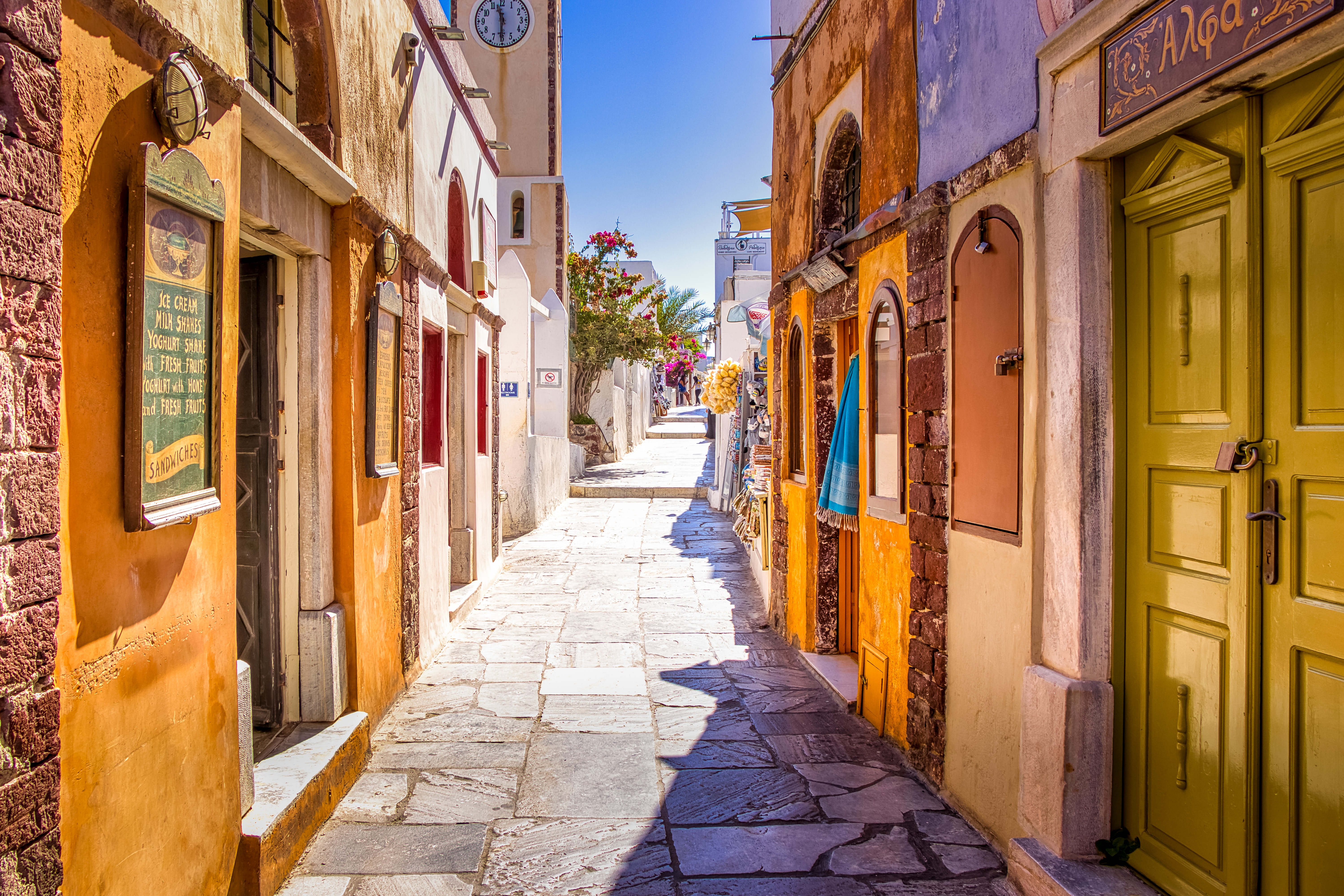
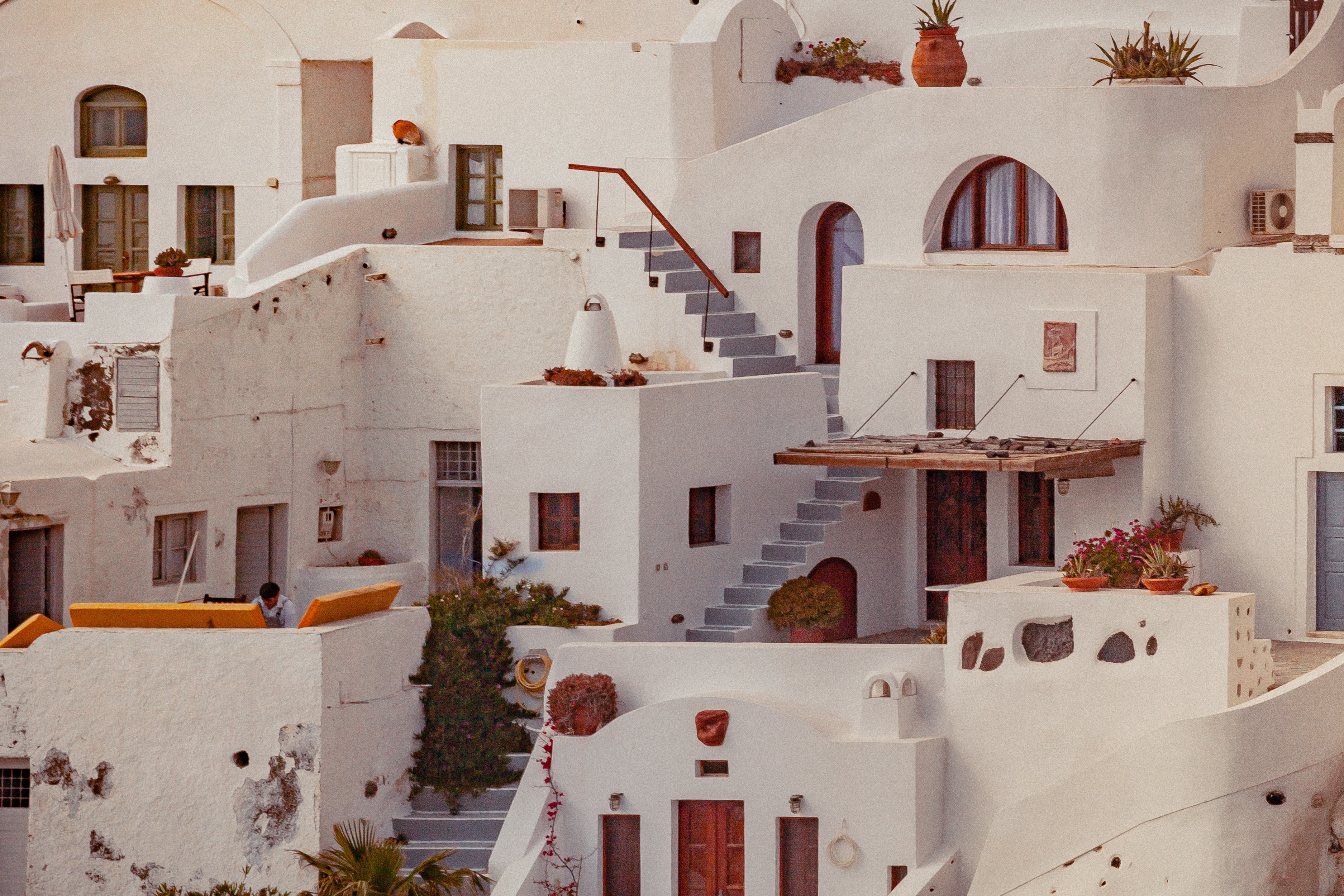
About Santorini
Undoubtedly the most extraordinary island in the Aegean, crescent-shape Santorini remains a mandatory stop on the Cycladic tourist route—even if it's necessary to enjoy the sensational sunsets from Ia, the fascinating excavations, and the dazzling white towns with a million other travelers. Called Kállisti (the "Loveliest") when first settled, the island has now reverted to its subsequent name of Thira, after the 9th-century-BC Dorian colonizer Thiras. The place is better known, however, these days as Santorini, a name derived from its patroness, St. Irene of Thessaloniki, the Byzantine empress who restored icons to Orthodoxy and died in 802. You can fly conveniently to Santorini, but to enjoy a true Santorini rite of passage, opt instead for the boat trip here, which provides a spectacular introduction. After the boat sails between Sikinos and Ios, your deck-side perch approaches two close islands with a passage between them. The bigger one on the left is Santorini, and the smaller on the right is Thirassia. Passing between them, you see the village of Ia adorning Santorini's northernmost cliff like a white geometric beehive. You are in the caldera (volcanic crater), one of the world's truly breathtaking sights: a demilune of cliffs rising 1,100 feet, with the white clusters of the towns of Fira and Ia perched along the top. The bay, once the high center of the island, is 1,300 feet in some places, so deep that when boats dock in Santorini's shabby little port of Athinios, they do not drop anchor. The encircling cliffs are the ancient rim of a still-active volcano, and you are sailing east across its flooded caldera. On your right are the Burnt isles, the White isle, and other volcanic remnants, all lined up as if some outsize display in a geology museum. Hephaestus's subterranean fires smolder still—the volcano erupted in 198 BC, about 735, and there was an earthquake in 1956. Indeed, Santorini and its four neighboring islets are the fragmentary remains of a larger landmass that exploded about 1600 BC: the volcano's core blew sky high, and the sea rushed into the abyss to create the great bay, which measures 10 km by 7 km (6 mi by 4½ mi) and is 1,292 feet deep. The other pieces of the rim, which broke off in later eruptions, are Thirassia, where a few hundred people live, and deserted little Aspronissi ("White isle"). In the center of the bay, black and uninhabited, two cones, the Burnt Isles of Palea Kameni and Nea Kameni, appeared between 1573 and 1925. There has been too much speculation about the identification of Santorini with the mythical Atlantis, mentioned in Egyptian papyri and by Plato (who says it's in the Atlantic), but myths are hard to pin down. This is not true of old arguments about whether tidal waves from Santorini's cataclysmic explosion destroyed Minoan civilization on Crete, 113 km (70 mi) away. The latest carbon-dating evidence, which points to a few years before 1600 BC for the eruption, clearly indicates that the Minoans outlasted the eruption by a couple of hundred years, but most probably in a weakened state. In fact, the island still endures hardships: since antiquity, Santorini has depended on rain collected in cisterns for drinking and irrigating—the well water is often brackish—and the serious shortage is alleviated by the importation of water. However, the volcanic soil also yields riches: small, intense tomatoes with tough skins used for tomato paste (good restaurants here serve them); the famous Santorini fava beans, which have a light, fresh taste; barley; wheat; and white-skin eggplants.


About Ermoupoli, Syra
Syros is an island in the Aegean Sea, 78 miles (125 kilometres) southeast of Athens, and the administrative, commercial, intellectual and cultural centre of the Cyclades. Syros is 32 square miles (82.8 square kilometres) in area. Its largest towns are Ermoupoli, the capital of the island and Cyclades, Ano Syros and Vari. Although Syros belongs to the Cyclades islands, its architecture is more medieval than Cycladic. The beaches of Syros are especially inviting, and surrounded by many tourist facilities and accommodations.

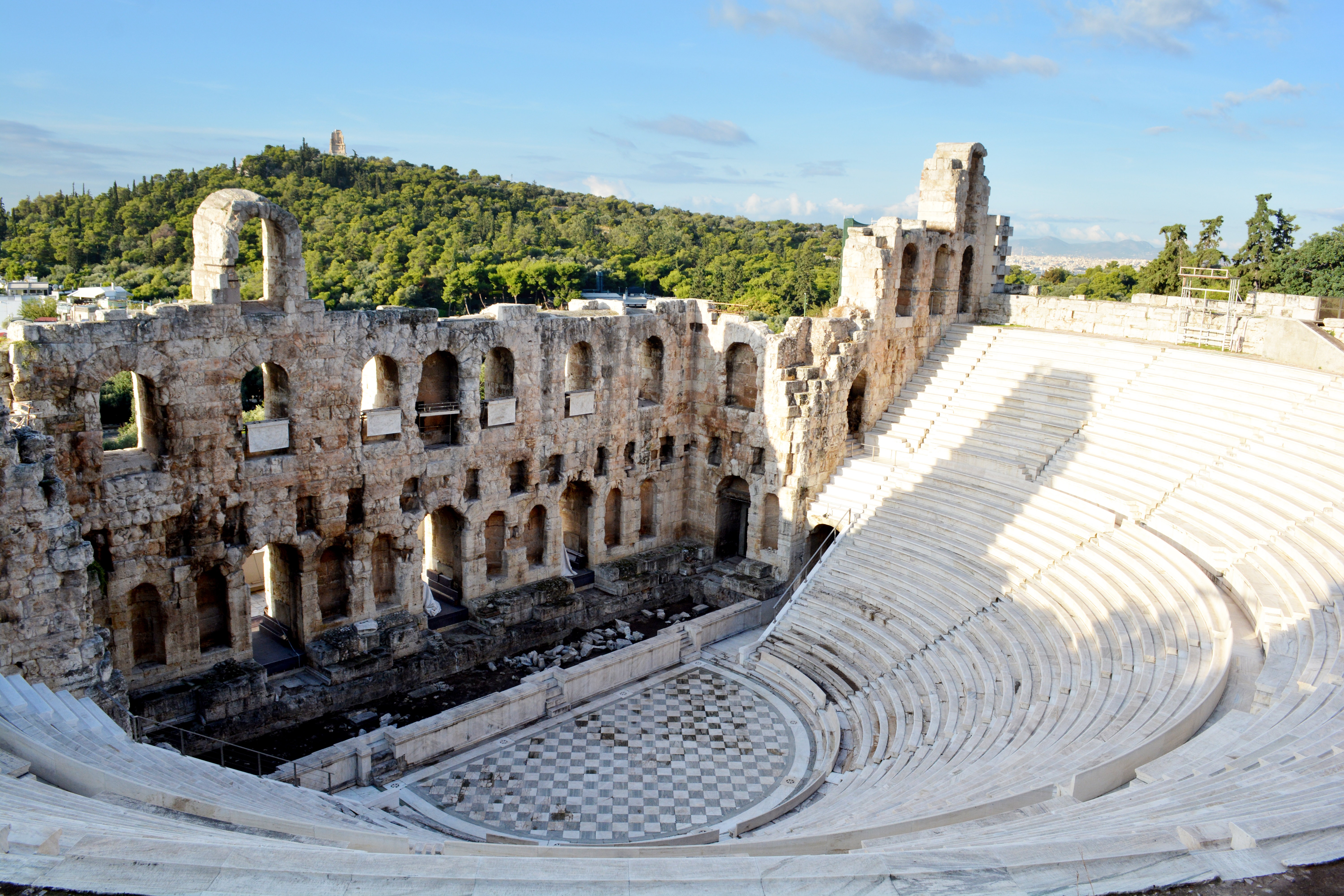
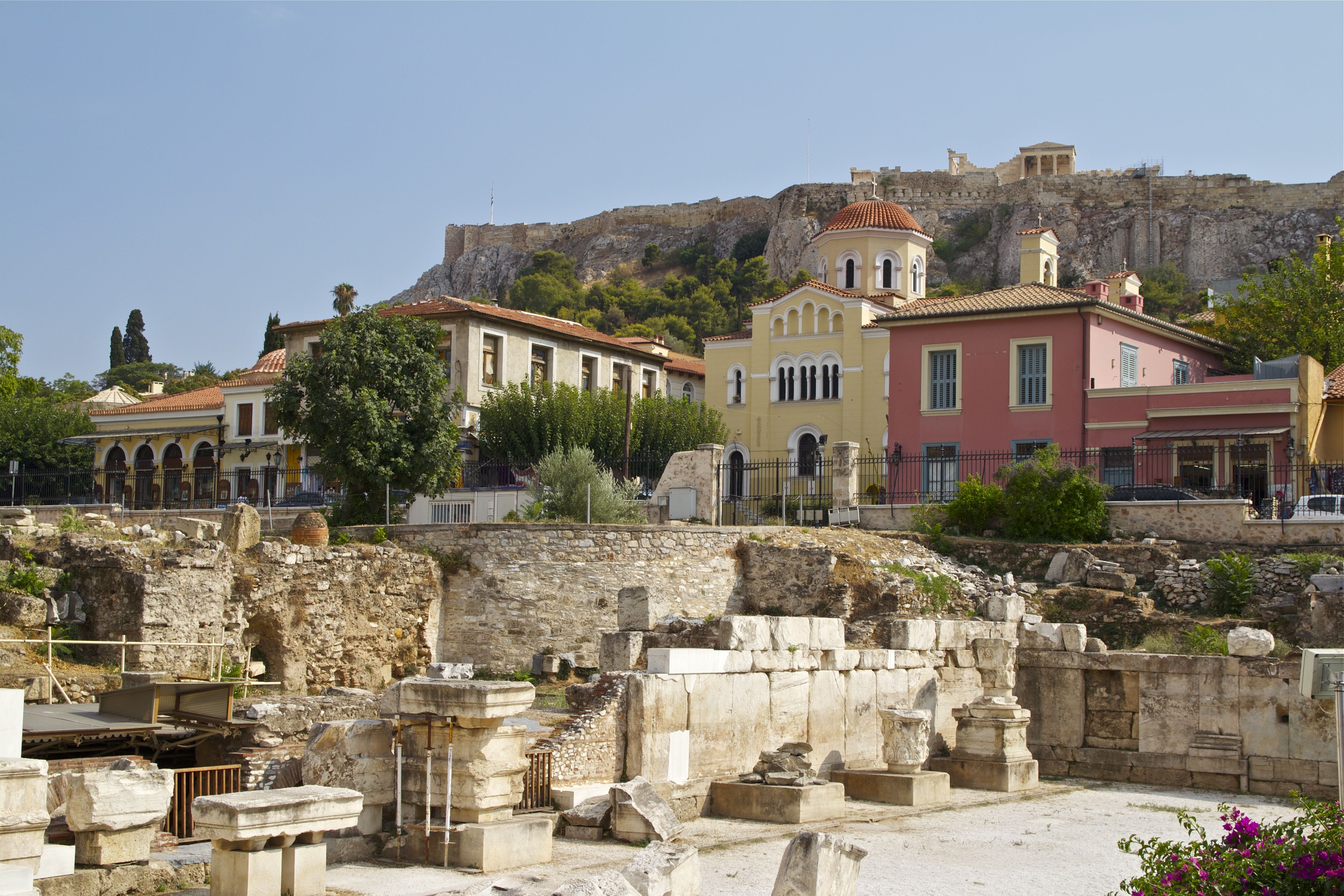
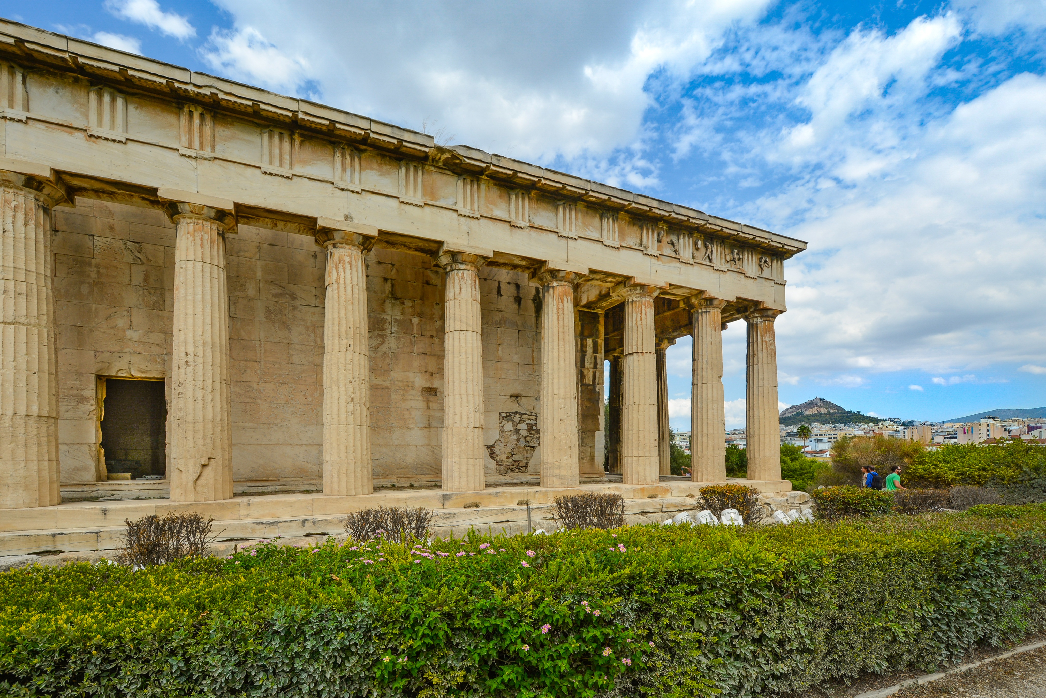
About Athens


Where You'll Go


