
Ft. Lauderdale to Barcelona
Ft. Lauderdale to Barcelona
Cruise overview
WHY BOOK WITH US?
- ✔ The Deluxe Cruises’ team has extensive experience in ultra-luxury cruising.
- ✔ Call now to speak to our helpful and experienced Cruise Concierge team.
- ✔ Enjoy our Unique Deluxe Cruises Bonus for substantial savings.
- ✔ Our team will tailor your holiday to your exacting requirements.
- ✔ As agents, we work under the protection of each cruise lines ABTA / ATOL licences
About Fort Lauderdale, Florida
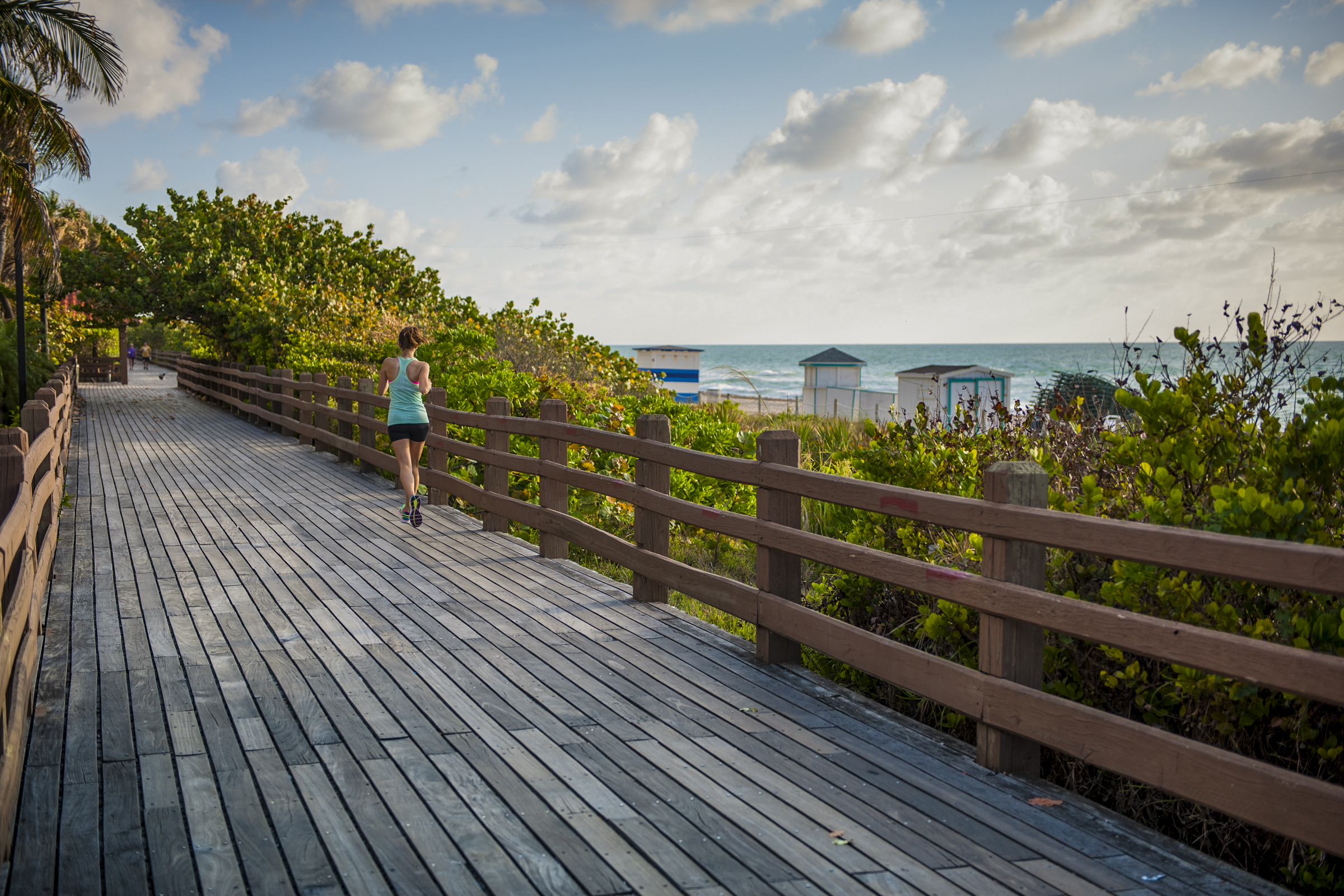
Like many southeast Florida neighbors, Fort Lauderdale has long been revitalizing. In a state where gaudy tourist zones often stand aloof from workaday downtowns, Fort Lauderdale exhibits consistency at both ends of the 2-mile Las Olas corridor. The sparkling look results from upgrades both downtown and on the beachfront. Matching the downtown's innovative arts district, cafés, and boutiques is an equally inventive beach area, with hotels, cafés, and shops facing an undeveloped shoreline, and new resort-style hotels replacing faded icons of yesteryear. Despite wariness of pretentious overdevelopment, city leaders have allowed a striking number of glittering high-rises. Nostalgic locals and frequent visitors fret over the diminishing vision of sailboats bobbing in waters near downtown; however, Fort Lauderdale remains the yachting capital of the world, and the water toys don’t seem to be going anywhere.


About Georgetown, Grand Cayman
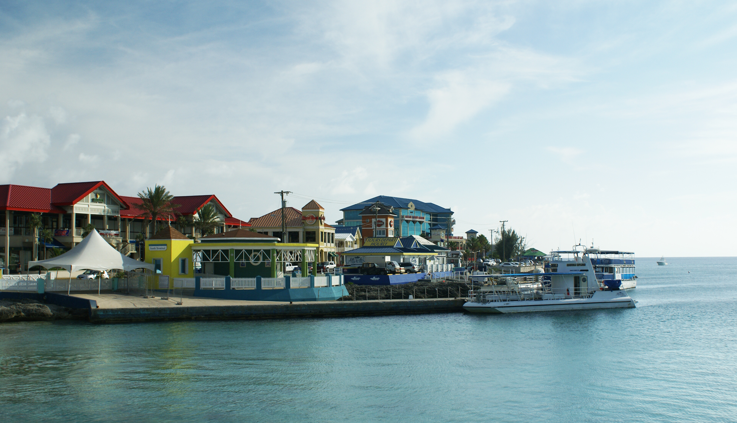
Begin exploring the capital by strolling along the waterfront Harbour Drive to Elmslie Memorial United Church, named after the first Presbyterian missionary to serve in Cayman. Its vaulted ceiling, wooden arches, and sedate nave reflect the religious nature of island residents. In front of the court building, in the center of town, names of influential Caymanians are inscribed on the Wall of History, which commemorates the islands' quincentennial in 2003. Across the street is the Cayman Islands Legislative Assembly Building, next door to the 1919 Peace Memorial Building. In the middle of the financial district is the General Post Office, built in 1939. Let the kids pet the big blue iguana statues.


About Costa Maya
Laid-back coast with sandy beaches & waterfront eateries, plus diving around offshore coral reefs.

About Belize City
Belize City, a coastal gem, seamlessly blends history and modern vibrancy. Colonial architecture graces lively streets, narrating tales of Mayan roots and cultural richness. A welcoming atmosphere emanates from friendly locals, and diverse festivals celebrate Belize's heritage. The city serves as a gateway to natural wonders, from serene river rides to the renowned Belize Barrier Reef. Pristine beaches like Old Belize Beach invite relaxation. Culinary delights abound, showcasing Belizean flavours. In this enchanting city, every smile, historical landmark, and cultural celebration embodies the warmth and charm that make Belize City an unforgettable destination.

About Roatán Island
Experience true Caribbean island bliss, during your time on the immaculate paradise of Roatan, which is the largest of the Bay Islands. This slim island is framed by glorious powdery white beaches, and rich ocean beds carpeted with diverse coral reefs - alive with fish and marine life. Curious dolphins roll through the waves just offshore, while beach dwellers soak up the sun, and enjoy coconut cocktails, beside leaning palm trees. The beaches here are nothing short of dreamy - with wooden piers teetering out over the water, and thatched roofs providing welcome shade, as you dangle your legs towards the water.


About Cartagena
Cartagena's magnificent city walls and fortresses, now a UNESCO World Heritage Site, enclose a well-restored historic center (the Cuidad Amurallada, or walled city) with plazas, churches, museums, and shops that have made it a lively coastal vacation spot for South Americans and others. New hotels and restaurants make the walled city a desirable place to stay, and the formerly down-at-the-heels Getsemaní neighborhood attracts those seeking a bohemian buzz. The historic center is a small section of Cartagena; many hotels are in the Bocagrande district, an elongated peninsula where high-rise hotels overlook a long, gray-sand beach.When it was founded in 1533 by Spanish conquistador Pedro de Heredia, Cartagena was the only port on the South American mainland. Gold and silver looted from indigenous peoples passed through here en route to Spain and attracted pirates, including Sir Francis Drake, who in 1586 torched 200 buildings. Cartagena's walls protected the city's riches as well as the New World's most important African slave market.


About Fuerte Amador
About Manta

About Guayaquil
The second major jumping off point for the Galapagos Islands after Quito, this is a little city with a big heart. A sea port first and foremost, the city’s personality has been founded on that, and all the better it is for it too. Almost Caribbean in feeling, the clement climate coupled with the intermingling rhythms floating from the windows and abundance of fresh seafood make this a very tropical destination. Once not even considered by the travel books as a potential destination in its own right, the city has undergone something of a resurgence in the past few years. Proud Guayaquileños will not hestitate to point out the Malecón or the exciting new riverfront promenade, once a no-go area after dark, now happily (and hippily) lined with museums, restaurants, shops, and ongoing entertainment. The new airport and urban transportation network are also lauded to the happy tourists who find themselves here. As the largest and most populous city in Ecuador as well as being the commercial centre, it would only be natural that the city would have some kind of modern architecture, but it is the colourful favelas, or to use their real name guasmos, that cling to the side of the hillside like limpets that really catch your eye. A blend of old and new, the first inhabitants can be traced back to 1948 when the government cleared the area for affordable housing, these shanty towns are witness to the social and political particularities that Guayaquil has faced in the past.

About Salaverry
Located about nine hours north of Lima, Trujillo was founded in 1534 by the Spanish conquistador Pizarro. The attractive, colonial city retains much of its original charm with elegant casonas, or mansions, lining the streets. Nearby is Chan Chan, the ancient capital of the Chimú, a local Indian tribe who came under the rule of the Incas. The area has several other Chimú sites, some dating back about 1500 years. The region is also famous as the home of the Peruvian Paso horses, as well as excellent beaches offering world-class surfing and other water sports.

About Callao
When people discuss great South American cities, Lima is often overlooked. But Peru's capital can hold its own against its neighbors. It has an oceanfront setting, colonial-era splendor, sophisticated dining, and nonstop nightlife.It's true that the city—clogged with traffic and choked with fumes—doesn't make a good first impression, especially since the airport is in an industrial neighborhood. But wander around the regal edifices surrounding the Plaza de Armas, among the gnarled olive trees of San Isidro's Parque El Olivar, or along the winding lanes in the coastal community of Barranco, and you'll find yourself charmed.In 1535 Francisco Pizarro found the perfect place for the capital of Spain's colonial empire. On a natural port, the so-called Ciudad de los Reyes (City of Kings) allowed Spain to ship home all the gold the conquistador plundered from the Inca. Lima served as the capital of Spain's South American empire for 300 years, and it's safe to say that no other colonial city enjoyed such power and prestige during this period.When Peru declared its independence from Spain in 1821, the declaration was read in the square that Pizarro had so carefully designed. Many of the colonial-era buildings around the Plaza de Armas are standing today. Walk a few blocks in any direction for churches and elegant houses that reveal just how wealthy this city once was. But the poor state of most buildings attests to the fact that the country's wealthy families have moved to neighborhoods to the south over the past century.The walls that surrounded the city were demolished in 1870, making way for unprecedented growth. A former hacienda became the graceful residential neighborhood of San Isidro. In the early 1920s the construction of tree-lined Avenida Arequipa heralded the development of neighborhoods such as bustling Miraflores and bohemian Barranco.Almost a third of the country's population of 29 million lives in the metropolitan area, many of them in relatively poor conos: newer neighborhoods on the outskirts of the city. Most residents of those neighborhoods moved there from mountain villages during the political violence and poverty that marked the 1980s and ’90s, when crime increased dramatically. During the past decade the country has enjoyed peace and steady economic growth, which have been accompanied by many improvements and refurbishment in the city. Residents who used to steer clear of the historic center now stroll along its streets. And many travelers who once would have avoided the city altogether now plan to spend a day here and end up staying two or three.

About Pisco
Lending its name to the clear brandy that is Peru's favorite tipple and a source of fierce national pride, the coastal town of Pisco and its surroundings hold a special place in the national psyche. It's the point where the Argentinean hero General San Martín landed with his troops to fight for Peru's freedom from Spanish rule. It's the city from which pisco was first exported, and it's also an important seaport that had its heyday during the 1920s, when guano (bird droppings used as fertilizer) from the nearby Islas Ballestas were worth nearly as much as gold.Modern-day Pisco shows little evidence of its celebrated past. Instead, what you'll find is a city struggling to get back on its feet after the disaster of August 2007, when a magnitude 8 earthquake shook the town for three minutes. Disregard for planning permission, illegal building extensions, and the use of adobe (mud brick) as the main building material had left a vast number of Pisco's buildings unable to withstand the quake, and hundreds of lives were lost as homes, churches, and hospitals collapsed during the tremor.Most travelers now base themselves in Paracas, just a few kilometers down the coast. For travelers wishing to assist in Pisco's recovery, there are numerous opportunities to volunteer. Organizations active in the area vary over time, but a good place to start looking for current opportunities is www.idealist.org. Even those without the time to volunteer should know that every nuevo sol spent in local businesses is contributing to rebuilding the region's economy.
About Iquique


About Antofagasta
Situated between the ocean and the mountains of the Coastal Range is Chile’s largest city of the northern region. Antofagasta's role as port for the exportation of nitrate began in 1866. In 1872, when silver was discovered, the first municipality was established. Today, Antofagasta is still the centre of nitrate and copper mining, as well as an important hub for rail traffic to La Paz, Bolivia, and Salta, Argentina. According to the treaty signed after the War of the Pacific, much of Bolivia's international commerce transits through Antofagasta. The area surrounding Antofagasta is renowned for having the highest solar intensity in the world. Its archaeological zones, desert and mountains make it a sought after place for travellers looking for unusual destinations. The city's landscaped plazas are a tribute to man's conquest over the desert. Plaza Colón boasts a landmark Westminster clock donated by the British residents; the design of the old Customs House is an odd combination of Spanish colonial and Swiss chalet-style architecture. The soil in the gardens along Avenida O'Higgins was brought from all over the world as ships' ballast, replaced by nitrate for their return voyages. Arriving by sea presents the best view of Antofagasta's unique setting between the ocean, the desert and the mountains – arguably the city's most impressive feature. Please Note: Due to the limited tourism infrastructure in this port, the buses and guides may not be up to Western standards but are the best available in this particular area. Local conditions may be challenging, therefore we urge flexibility and understanding as we visit these unique, and somewhat remote destinations. Pier Information The ship is scheduled to dock at the Port of Antofagasta, located about 2 miles (3 km) from the town centre. Taxis are not allowed inside the port. Shopping The major shopping area for local goods is found along the three-block pedestrian zone. A handicrafts market is located in the Plaza del Mercado, featuring articles made by artists in the High-Plateau area. Most shops open a 9:30 a.m. and close between 1:30 p.m. and 4:00 p.m. The local currency is the peso. Cuisine For good food with an excellent view, beach and swimming pool, the Hotel Antofagasta is worth a try. The Yacht Club is also noted for fine cuisine and a great view of the old harbour. Other Sites In addition to the attractions covered on the organized tour, sports enthusiasts will find a golf course with sand greens. Guests interested should check with the Shore Concierge Office on board well in advance for availability and reservations. Please bear in mind that mostly Spanish speaking visitors frequent this region; English is not widely spoken. Private arrangements for independent sightseeing may be requested through the Shore Concierge Office on board, subject to the availability of English-speaking guides. There are no sedans available, only vans.
About Coquimbo
The name Coquimbo is derived from a native Diaguita word meaning 'place of calm waters'. In fact, Charles Darwin had noted that the town was 'remarkable for nothing but its extreme quietness'. Since then, Coquimbo has developed into a bustling port and the region's major commercial and industrial centre from which minerals, fish products and fruits are exported. Used during the colonial period as a port for La Serena, Coquimbo attracted attention from English pirates, including Sir Francis Drake, who visited in 1578. Visitors enjoy strolling around the town, admiring some of the elaborate woodwork handcrafted on buildings by early British and American settlers. These wooden buildings are among Chile's most interesting historical structures. Out of town, the area offers some fine beaches in a desert-like setting. Coquimbo serves as a gateway to the popular resort town of La Serena and trips farther into the Elqui Valley, known as the production centre for Chile's national drink, pisco sour. The valley is also home to several international observatories that take advantage of the region's exceptional atmospheric conditions.


About Valparaiso
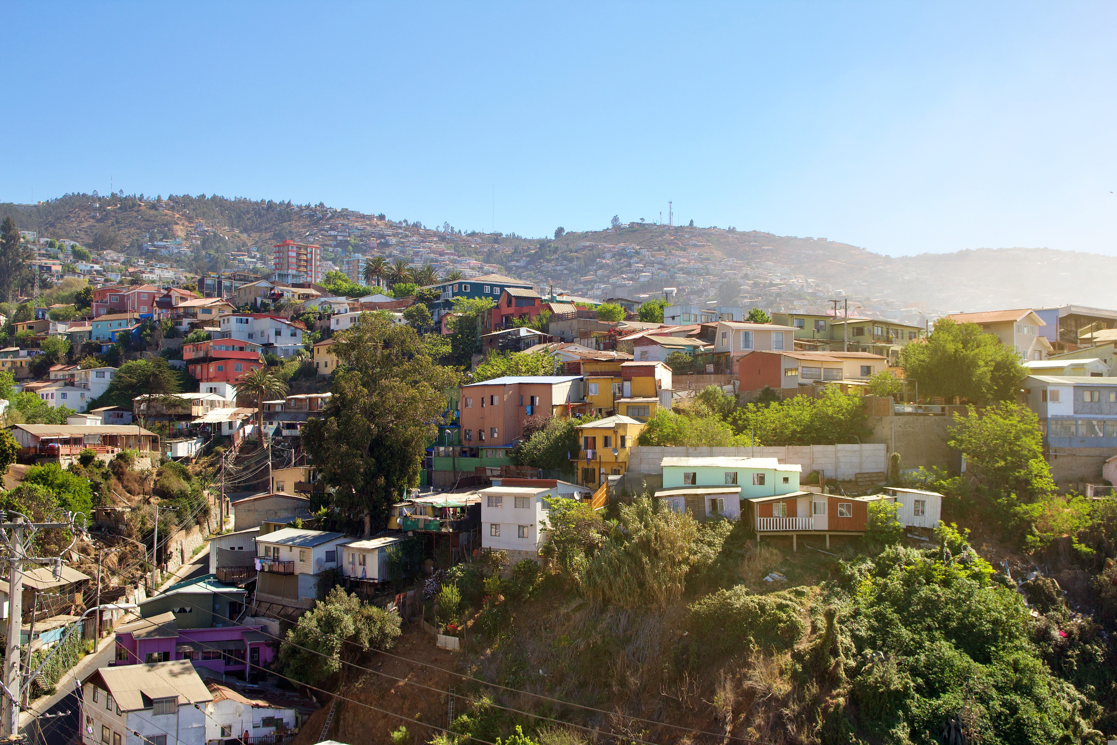
Valparaíso's dramatic topography—45 cerros, or hills, overlooking the ocean—requires the use of winding pathways and wooden ascensores (funiculars) to get up many of the grades. The slopes are covered by candy-color houses—there are almost no apartments in the city—most of which have exteriors of corrugated metal peeled from shipping containers decades ago. Valparaíso has served as Santiago's port for centuries. Before the Panama Canal opened, Valparaíso was the busiest port in South America. Harsh realities—changing trade routes, industrial decline—have diminished its importance, but it remains Chile's principal port. Most shops, banks, restaurants, bars, and other businesses cluster along the handful of streets called El Plan (the flat area) that are closest to the shoreline. Porteños (which means "the residents of the port") live in the surrounding hills in an undulating array of colorful abodes. At the top of any of the dozens of stairways, the paseos (promenades) have spectacular views; many are named after prominent Yugoslavian, Basque, and German immigrants. Neighborhoods are named for the hills they cover. With the jumble of power lines overhead and the hundreds of buses that slow down—but never completely stop—to pick up agile riders, it's hard to forget you're in a city. Still, walking is the best way to experience Valparaíso. Be careful where you step, though—locals aren't very conscientious about curbing their dogs.

About Puerto Montt
For most of its history, windy Puerto Montt was the end of the line for just about everyone traveling in the Lake District. Now the Carretera Austral carries on southward, but for all intents and purposes Puerto Montt remains the region's last significant outpost, a provincial city that is the hub of local fishing, textile, and tourist activity.Today the city center is full of malls, condos, and office towers—it's the fastest-growing city in Chile—but away from downtown, Puerto Montt consists mainly of low clapboard houses perched above its bay, the Seno de Reloncaví. If it's a sunny day, head east to Playa Pelluco or one of the city's other beaches. If you're more interested in exploring the countryside, drive along the shore for a good view of the surrounding hills.
About Castro
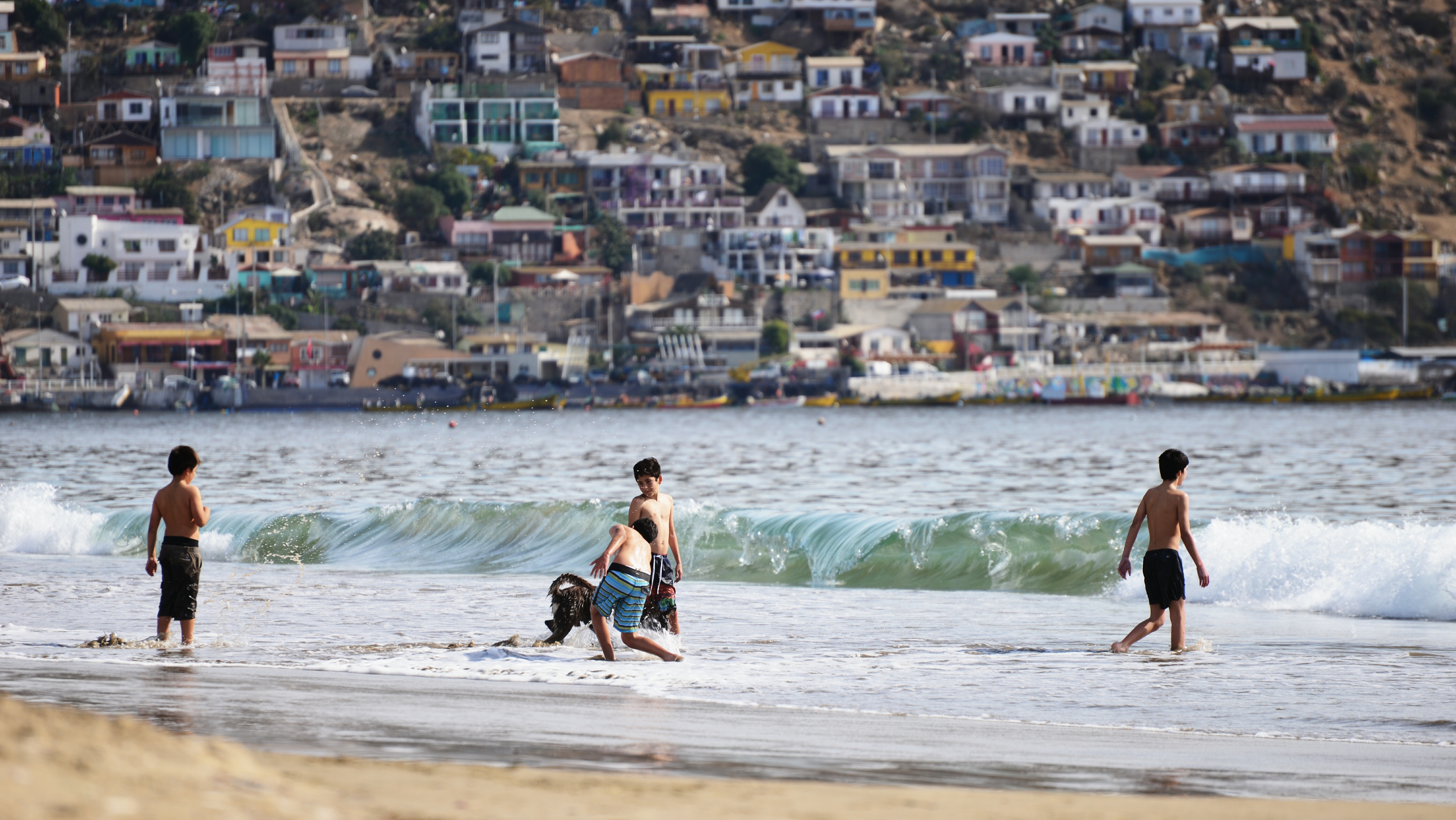
Bright, wooden huts teeter on stilts over Castro's estuary waterfront, inviting you into a patchwork of colour that’s sure to brighten any day. These traditional palafitos give the warmest of welcomes, as you prepare to experience Chile at its most vibrant. Castro has faced something of a tumultuous past, having been hit by a by a succession of earthquakes and fires - the most recent a devastating earthquake in 1960. But this city is incredibly resilient, and today the capital of Chiloe Island makes for a fantastic base for exploring the archipelago that surrounds it.
About Punta Arenas
Impenetrable forests, impassable mountains, and endless fields of ice define Chilean Patagonia, and meant that the region went largely unexplored until the beginning of the 20th century. Located in the southernmost part of the country, this area is still sparsely inhabited, though you will find a few populated places—like the colorful provincial city of Punta Arenas, which looks like it's about to be swept into the Strait of Magellan. Some unique wildlife, particularly colonies of elephant seals and penguins, call this breathtaking topography home. To the north is Parque Nacional Torres del Paine, the country's most magnificent natural wonder, and whose snow-covered peaks seem to rise vertically from the plains below. The vistas, such as the fantastic Avenue of the Glaciers, are breathtaking; along this stretch of the Beagle Channel, you can pass six tremendous glaciers all within a stone's throw of each other.Cruise SightsPunta Arenas. Founded a little more than 150 years ago, Punta Arenas (Sandy Point) was Chile's first permanent settlement in Patagonia. Plaza Muñoz Gamero, the central square, is surrounded by evidence of that early prosperity: buildings whose then-opulent brick exteriors recall a time when this was one of Chile's wealthiest cities. The newer houses here have colorful tin roofs, best appreciated when seen from a high vantage point such as the Mirador Cerro la Cruz. Although the city as a whole may not be particularly attractive, look for details: the pink-and-white house on a corner, the bay window full of potted plants, parking attendants wearing the regional blue and yellow colors, and schoolchildren in identical naval pea coats that remind you that the city's fate is tied to the sea.The Museo Naval y Marítimo extols Chile's high-seas prowess, particularly concerning Antarctica. Its exhibits are worth a visit for anyone with an interest in ships and sailing, merchant and military alike. Part of the second floor is designed like the interior of a ship, including a map and radio room. Pedro Montt 989. Admission charged.Housed in what was once the mansion of the powerful Braun-Menéndez family, the Museo Regional de Magallanes is an intriguing glimpse into the daily life of a wealthy provincial family at the beginning of the 20th century. Lavish Carrara marble hearths, English bath fixtures, and cordovan leather walls are among the original accoutrements. The museum also has an excellent group of displays depicting Punta Arenas's past, from the first European contact to the town's decline after the opening of the Panama Canal. The museum is half a block north of the main square. Magallanes 949. Admission charged.The resplendent 1895 Palacio Sara Braun is a national landmark and an architectural showpiece of southern Patagonia. Designed by a French architect, the house was built from materials and by craftsmen imported from Europe during the four years of construction. The city's central plaza and surrounding buildings soon followed, ushering in the region's golden era. Noteworthy are the lavish bedrooms, magnificent parquet floors, marble fireplaces, and hand-painted ceilings. Don't miss the portraits of Braun and her husband José Nogueira in the music room. Afterwards, head to the cellar for a drink or snack in the warm public tavern (a good portion of the mansion is leased to a hotel). Plaza Muñoz Gamero 716. Admission charged.Commonly referred to simply as "El Salesiano," the Museo Salesiano de Maggiorino Borgatello is operated by Italian missionaries whose order arrived in Punta Arenas in the 19th century. The Salesians, most of whom spoke no Spanish, proved to be daring explorers. Traveling throughout the region, they collected the artifacts made by indigenous tribes that are currently on display. Av. Bulnes 398. Admission charged.Isla Magdalena. Punta Arenas is the launching point for a boat trip to the Isla Magdalena to see the more than 100,000 Magellanic penguins at the Monumento Natural Los Pingúinos. A single trail, marked off by rope, is accessible to humans. The boat trip to the island, in the middle of the Estrecho de Magallanes, takes about two hours. Make sure to bring along warm clothing, even in summer; the island can be chilly, particularly if a breeze is blowing across the water.Parque Nacional Torres del Paine. Some 12 million years ago, lava flows pushed up through the thick sedimentary crust that covered the southwestern coast of South America, cooling to form a granite mass. Glaciers then swept through the region, grinding away all but the ash-gray spires that rise over the landscape of one of the world's most beautiful natural phenomena, now the Parque Nacional Torres del Paine (established in 1959). Snow formations dazzle along every turn of road, and the sunset views are spectacular.Among the 2,420-square-km (934-square-mi) park's most beautiful attractions are its lakes of turquoise, aquamarine, and emerald green waters. Another draw is its unusual wildlife. Creatures like the guanaco (a woollier version of the llama) and the ñandú (resembling a small ostrich) abound. They are used to visitors and don't seem to be bothered by the proximity of automobile traffic and the snapping of cameras. Predators, like the gray fox, make less frequent appearances. You may also spot the dramatic aerobatics of a falcon and the graceful soaring of the endangered condor. The beautiful puma is especially elusive, but sightings have become more common. Admission charged.Pingúinera de Seno Otway. The road to this penguin sanctuary begins 30 km (18 mi) north of Punta Arenas. Magellanic penguins, which live up to 20 years in the wild, return to their birthplace here every year to mate with the same partner. For about 2,000 penguin couples—no single penguins make the trip—home is this desolate and windswept land off the Otway Sound. In late September, the penguins begin to arrive from the southern coast of Brazil and the Falkland Islands. They mate and lay their eggs in early October, and brood their eggs in November. Offspring hatch between mid-November and early December. If you're lucky, you may catch sight of one of the downy gray chicks that stick their heads out of the burrows when their parents return to feed them. Otherwise you might see scores of the ungainly adult penguins waddling to the ocean from their nesting burrows. They swim for food every eight hours and dive up to 100 feet deep. The penguins depart from the sound in late March. Note that the sanctuary is a 1-km (1/2-mi) walk from the parking lot. It gets chilly, so bring a windbreaker. Admission charged.Reserva Nacional Laguna Parillar. This 47,000-acre reserve lies west of Puerto Hambre, a tranquil fishing village, and is centered around a shimmering lake in a valley flanked by hills. It's a great place for a picnic, and there are a number of well-marked paths that offer sweeping vistas over the Estrecho de Magallanes. About 2 km (1 mi) west of Puerto Hambre is a small white monolith that marks the geographical center of Chile, the midway point between Chile's northern port Arica and the South Pole.Cruise ShoppingWool may no longer be king of the economy, but vast flocks of sheep still yield a high-quality product that is woven into the clothing here. Leather products are also common, but the prices are not necessarily low. About 3 km (2 mi) north of Punta Arenas is the Zona Franca (Av. Bulnes). This duty-free zone is where people from all around the region come for low-priced electronics and other consumer items.

About Ushuaia
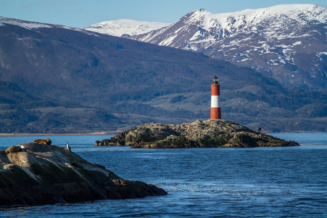
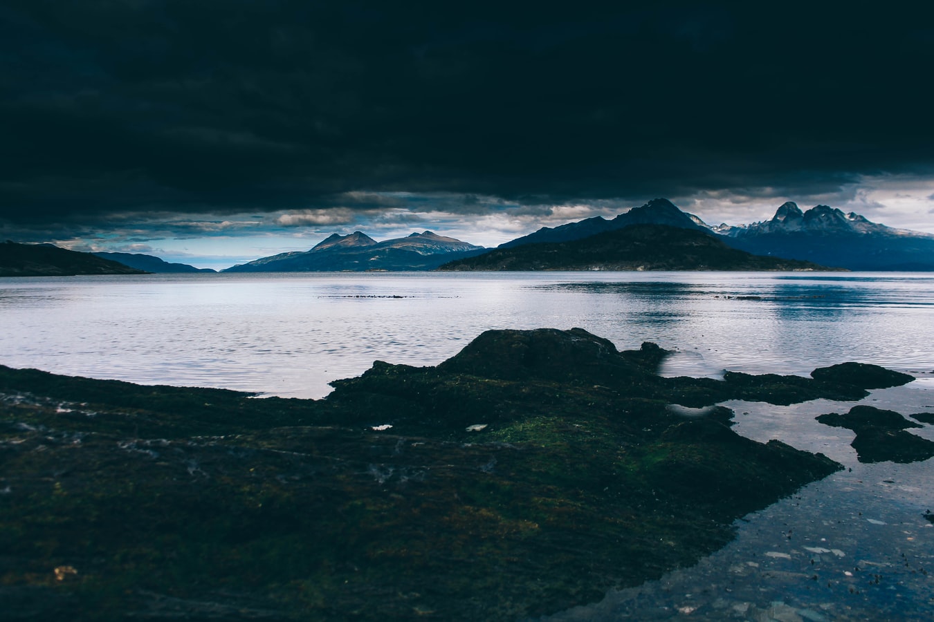
At 55 degrees latitude south, Ushuaia (pronounced oo-swy-ah) is closer to the South Pole than to Argentina's northern border with Bolivia. It is the capital and tourism base for Tierra del Fuego, the island at the southernmost tip of Argentina.Although its stark physical beauty is striking, Tierra del Fuego's historical allure is based more on its mythical past than on rugged reality. The island was inhabited for 6,000 years by Yámana, Haush, Selk'nam, and Alakaluf Indians. But in 1902 Argentina, eager to populate Patagonia to bolster its territorial claims, moved to initiate an Ushuaian penal colony, establishing the permanent settlement of its most southern territories and, by implication, everything in between.When the prison closed in 1947, Ushuaia had a population of about 3,000, made up mainly of former inmates and prison staff. Today the Indians of Darwin's "missing link" theory are long gone—wiped out by diseases brought by settlers and by indifference to their plight—and the 60,000 residents of Ushuaia are hitching their star to tourism.The city rightly (if perhaps too loudly) promotes itself as the southernmost city in the world (Puerto Williams, a few miles south on the Chilean side of the Beagle Channel, is a small town). You can make your way to the tourism office to get your clichéd, but oh-so-necessary, "Southernmost City in the World" passport stamp. Ushuaia feels like a frontier boomtown, at heart still a rugged, weather-beaten fishing village, but exhibiting the frayed edges of a city that quadrupled in size in the '70s and '80s and just keeps growing. Unpaved portions of Ruta 3, the last stretch of the Pan-American Highway, which connects Alaska to Tierra del Fuego, are finally being paved. The summer months (December through March) draw more than 120,000 visitors, and dozens of cruise ships. The city is trying to extend those visits with events like March's Marathon at the End of the World and by increasing the gamut of winter activities buoyed by the excellent snow conditions.A terrific trail winds through the town up to the Martial Glacier, where a ski lift can help cut down a steep kilometer of your journey. The chaotic and contradictory urban landscape includes a handful of luxury hotels amid the concrete of public housing projects. Scores of "sled houses" (wooden shacks) sit precariously on upright piers, ready for speedy displacement to a different site. But there are also many small, picturesque homes with tiny, carefully tended gardens. Many of the newer homes are built in a Swiss-chalet style, reinforcing the idea that this is a town into which tourism has breathed new life. At the same time, the weather-worn pastel colors that dominate the town's landscape remind you that Ushuaia was once just a tiny fishing village, snuggled at the end of the Earth.As you stand on the banks of the Canal Beagle (Beagle Channel) near Ushuaia, the spirit of the farthest corner of the world takes hold. What stands out is the light: at sundown the landscape is cast in a subdued, sensual tone; everything feels closer, softer, and more human in dimension despite the vastness of the setting. The snowcapped mountains reflect the setting sun back onto a stream rolling into the channel, as nearby peaks echo their image—on a windless day—in the still waters.Above the city rise the last mountains of the Andean Cordillera, and just south and west of Ushuaia they finally vanish into the often-stormy sea. Snow whitens the peaks well into summer. Nature is the principal attraction here, with trekking, fishing, horseback riding, wildlife spotting, and sailing among the most rewarding activities, especially in the Parque Nacional Tierra del Fuego (Tierra del Fuego National Park).


About Port Stanley
Tiny Stanley, capital of the Falklands, seems in many ways like a British village fallen out of the sky. Many homes are painted in bright colours, adding visual appeal to this distant outpost. Not far offshore, the wreck of the Lady Elizabeth, is one of the many vessels remaining as a silent testimonial to the region's frequent harsh weather conditions.The islands, also known by their Spanish name of Islas Malvinas, are home to arguably more tuxedo-clad inhabitants of the penguin variety than human residents. Various species, such as Gentoo, Magellanic and the more elusive King penguins, either live here permanently or use the Falklands as a stopover on their migration route. Darwin found the islands' flora and fauna fascinating - no doubt you will, too.
About Puerto Madryn
Approaching from Ruta 3, it's hard to believe that the horizon line of buildings perched just beyond the windswept dunes and badlands is the most successful of all coastal Patagonia settlements. But once you get past the outskirts of town and onto the wide coastal road known as the Rambla, the picture begins to change. Ranged along the clear and tranquil Golfo Nuevo are restaurants, cafés, dive shops, and hotels, all busy—but not yet overcrowded—with tourists from around the world.Puerto Madryn is more a base for visiting nearby wildlife-watching sites like Península Valdés and Punta Tombo than a destination in its own right. The town's architecture is unremarkable, and beyond a walk along the coast there isn't much to do. Indeed, even the few museums serve mainly to introduce you to the fauna you'll see elsewhere. The exception is the beginning of whale season (May through July), when the huge animals cavort right in the bay before heading north—you can even walk out alongside them on the pier. During these months it's worth the extra expense for a room with a sea view.The many tour agencies and rental-car companies here make excursion planning easy. Aim to spend most of your time here on one- or two-day trips exploring the surroundings. Note that competition is fierce between tourism operators in destinations such as Puerto Madryn and Puerto Pirámides on Península Valdés. Take information that tour operators and even the tourism office give you about these with a grain of salt: they often exaggerate Madryn's virtues and other areas' flaws.


About Montevideo
Uruguay’s capital city hugs the eastern bank of the Río de la Plata. A massive coastal promenade (malecón) that passes fine beaches, restaurants, and numerous parks recalls the sunny sophistications of the Mediterranean and is always dotted with Montevideans strolling, exercising, and lounging along the water. Montevideo has its share of glitzy shopping avenues and modern office buildings, balanced with its historic old city and sumptuous colonial architecture, as well as numerous leafy plazas and parks. It is hard not to draw comparisons to its sister city Buenos Aires across the river, and indeed Montevideo strikes many as a calmer, more manageable incarnation of Argentina's capital.When the weather's good, La Rambla, a 22-km (14-mile) waterfront avenue that links the Old City with the eastern suburbs and changes names about a dozen times, gets packed with fishermen, ice-cream vendors, and joggers. Around sunset, volleyball and soccer games wind down as couples begin to appear for evening strolls. Polls consistently rate Montevideo as having the highest quality of life of any city in Latin America. After one visit here, especially on a lovely summer evening, you probably will agree.

About Buenos Aires
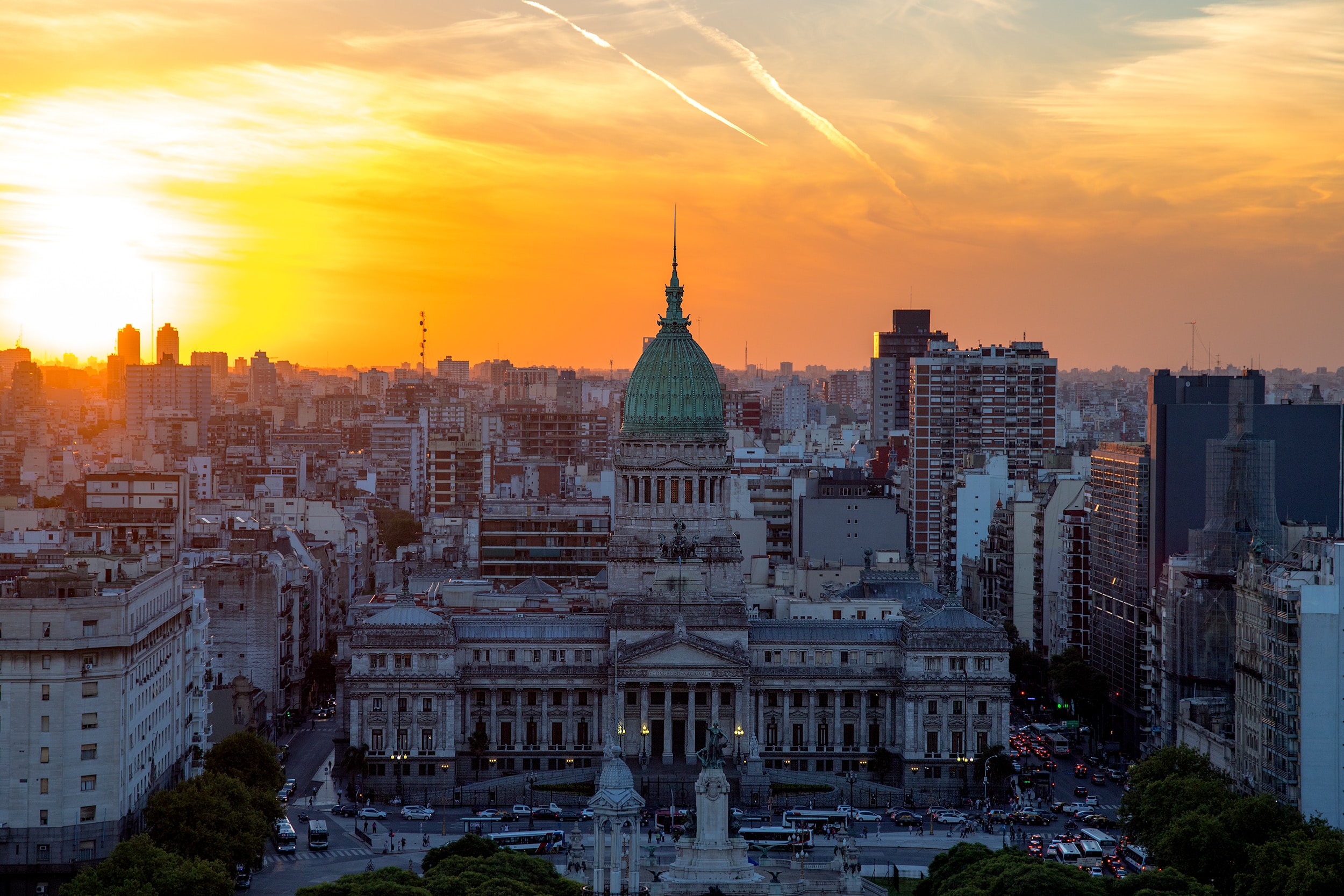
Glamorous and gritty, Buenos Aires is two cities in one. What makes Argentina's capital so fascinating is its dual heritage—part European, part Latin American. Plaza de Mayo resembles a grand square in Madrid, and the ornate Teatro Colón would not be out of place in Vienna. But you’ll know you’re in South America by the leather shoes for sale on cobbled streets and impromptu parades of triumphant soccer fans. Limited-production wines, juicy steaks, and ice cream in countless flavors are among the old-world imports the city has perfected.


About Balneário de Camboriú
About São Francisco do Sul
About Santos


About Santos


About Ilhabela


About Paraty, Rio De Janeiro
About Rio de Janeiro
Welcome to the Cidade Maravilhosa, or the Marvelous City, as Rio is known in Brazil. Synonymous with the girl from Ipanema, the dramatic views from Christ the Redeemer atop Corcovado mountain, and fabulously flamboyant Carnival celebrations, Rio is a city of stunning architecture, abundant museums, and marvelous food. Rio is also home to 23 beaches, an almost continuous 73-km (45-mile) ribbon of sand.As you leave the airport and head to Rio's beautiful Zona Sul (the touristic South Zone), you'll drive for about 40 minutes on a highway from where you'll begin to get a sense of the dramatic contrast between beautiful landscape and devastating poverty. In this teeming metropolis of 12 million people (6.2 million of whom live in Rio proper), the very rich and the very poor live in uneasy proximity. You'll drive past seemingly endless cinder-block favela, but by the time you reach Copacabana's breezy, sunny Avenida Atlântica—flanked on one side by white beach and azure sea and on the other by condominiums and hotels—your heart will leap with expectation as you begin to recognize the postcard-famous sights. Now you're truly in Rio, where cariocas (Rio residents) and tourists live life to its fullest.Enthusiasm is contagious in Rio. Prepare to have your senses engaged and your inhibitions untied. Rio seduces with a host of images: the joyous bustle of vendors at Sunday's Feira Hippie (Hippie Fair); the tipsy babble at sidewalk cafés as patrons sip their last glass of icy beer under the stars; the blanket of lights beneath the Pão de Açúcar (Sugarloaf Mountain); the bikers, joggers, strollers, and power walkers who parade along the beach each morning. Borrow the carioca spirit for your stay; you may find yourself reluctant to give it back.


About Ilheus

About Salvador de Bahia
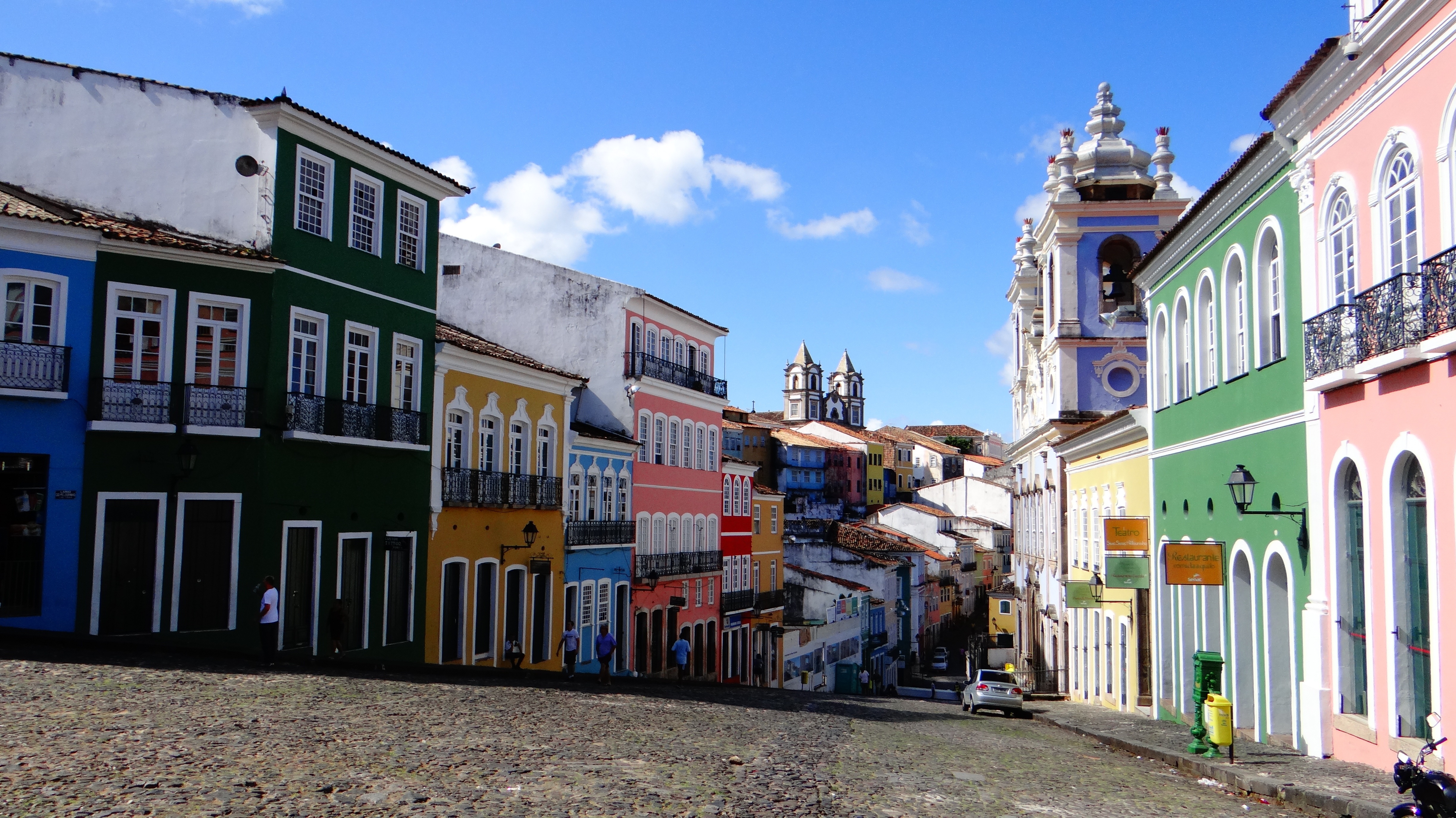
According to Salvador's adopted son Jorge Amado, "In Salvador, magic becomes part of the every-day." From the shimmering golden light of sunset over the Baía do Todos os Santos, to the rhythmic beats that race along the streets, Salvador, while no longer Brazil's capital, remains one of its most captivating cities. A large dose of its exoticism comes down to its African heritage—at least 70% of its 2,675,000 population is classified as Afro-Brazilian—and how it has blended into Brazil's different strands, from the native Indians to the Christian colonizers. Salvadorans may tell you that you can visit a different church every day of the year, which is almost true—the city has about 300. Churches whose interiors are covered with gold leaf were financed by the riches of the Portuguese colonial era, when slaves masked their traditional religious beliefs under a thin Catholic veneer. And partly thanks to modern-day acceptance of those beliefs, Salvador has become the fount of Candomblé, a religion based on personal dialogue with the orixás, a family of African deities closely linked to nature and the Catholic saints. The influence of Salvador's African heritage on Brazilian music has also turned the city into one of the musical capitals of Brazil, resulting in a myriad of venues to enjoy live music across the city, along with international acclaim for exponents like Gilberto Gil, Caetano Veloso, and Daniela Mercury. Salvador's economy today is focused on telecommunications and tourism. The still-prevalent African culture draws many tourists—this is the best place in Brazil to hear African music, learn or watch African dance, and see capoeira, a martial art developed by slaves. In the district of Pelourinho, many colorful 18th- and 19th-century houses remain, part of the reason why this is the center of the tourist trade. Salvador sprawls across a peninsula surrounded by the Baía de Todos os Santos on one side and the Atlantic Ocean on the other. The city has about 50 km (31 miles) of coastline. The original city, referred to as the Centro Histórica (Historical Center), is divided into the Cidade Alta (Upper City), also called Pelourinho, and Cidade Baixa (Lower City). The Cidade Baixa is a commercial area—known as Comércio—that runs along the port and is the site of Salvador's indoor market, Mercado Modelo. You can move between the upper and lower cities on foot, via the landmark Elevador Lacerda, behind the market, or on the Plano Inclinado, a funicular lift, which connects Rua Guindaste dos Padres on Comércio with the alley behind Cathedral Basílica. From the Cidade Histórica you can travel north along the bay to the hilltop Igreja de Nosso Senhor do Bonfim. You can also head south to the point, guarded by the Forte Santo Antônio da Barra, where the bay waters meet those of the Atlantic. This area on Salvador's southern tip is home to the trendy neighborhoods of Barra, Ondina, and Rio Vermelho, with many museums, theaters, shops, and restaurants. Beaches along the Atlantic coast and north of Forte Santo Antônio da Barra are among the city's cleanest. Many are illuminated at night and have bars and restaurants that stay open late.
About Recife
This vibrant metropolis has a spirit that's halfway between that of the modern cities of Brazil's South and of the traditional northeastern centers. It offers both insight on the past and a window to the future.It was in Pernambuco State, formerly a captaincy, that the most violent battles between the Dutch and the Portuguese took place. Under the Portuguese, the capital city was the nearby community of Olinda. But beginning in 1637 and during the Dutch turn at the reins (under the powerful count Maurício de Nassau), both Olinda and Recife were greatly developed.The city has beautiful buildings alongside the rivers that remind many visitors of Europe. Unfortunately, huge swathes of 19th-century buildings were razed to make way for modern structures. As a result, the center of the city has pockets of neocolonial splendor surrounded by gap-toothed modern giants. Today Recife is a leader in health care and has benefited from significant government investment in recent years, resulting in a boom in infrastructure and construction industries. It's also Brazil's third-largest gastronomic center—it's almost impossible to get a bad meal here.Recife is built around three rivers and connected by 49 bridges. Its name comes from the recifes (reefs) that line the coast. Because of this unique location, water and light often lend the city interesting textures. In the morning, when the tide recedes from Boa Viagem Beach, the rocks of the reefs slowly reappear. Pools of water are formed, fish flap around beachgoers, and the rock formations dry into odd colors. And if the light is just right on the Rio Capibaribe, the ancient buildings of Recife Antigo (Old Recife) are reflected off the river's surface in a watercolor display.

About Praia, Santiago Island
Start your Expedition Cruise in Praia, the capital of Cape Verde, located in the south of Santiago Island. You can explore its old centre overlooking the ocean and its historical buildings with transom windows. In the old quarter, you can also learn about the diversity of the archipelago’s cultural origins in the Ethnographic Museum. To finish your day, head to the harbour to visit the Diogo Gomes statue, paying homage to the man who discovered the archipelago in 1460.

About Porto Grande
The crescent of volcanic islands which form the Cape Verde archipelago lie 310 miles off the Senegal coast. Despite the name (Green Cape), all the islands are barren, but they offer dramatic mountain scenery and pristine beaches. The Portuguese started colonising the islands during the 15th century and during the 16th century the archipelago became important for the supply of water and rations to boats sailing to America, Europe and Africa, and as a base for slave warehouses. The Cape Verde Islands obtained their independence from Portugal in 1975 and, although the isles may be African geographically speaking, they have retained a strong Latin flavour. Porto Grande, the port for Mindelo, is on the windward isle of São Vicente and covers an area of 88 square miles. Over 90% of the island’s inhabitants live in the capital of Mindelo, where the historic centre is characterised by old colonial houses and commemorative monuments. Please note that excursions from this port will be operated by basic minibuses: these vehicles are the best available, but lack air-conditioning, reclining seats and seat belts, and have no space for the storage of walkers or wheelchairs.

About Las Palmas de Gran Canaria
Perhaps the prettiest of the Canary Islands, Gran Canaria is an almost circular isle with the peak of Pozo de Las Nieves, its highest point, at the centre. With a wealth of natural beauty and all the exciting attractions of city life in the capital, the island offers the best of both worlds. You will no doubt wish to see the sights of the capital’s old quarter, which dates back to the 15th century and encompassses the Vegueta and Triana districts, and wherever you go you can enjoy the glorious subtropical climate, perfect for growing exotic palms and fruits.

About Santa Cruz de Tenerife
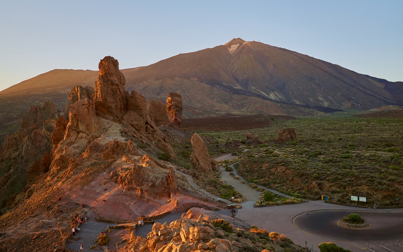
The largest of the Canary Islands, Tenerife is a beautiful and scenic island which enjoys year-round sunshine and is dominated by Mount Teide. The mountain range runs through the centre of the island, with fertile valleys on the northern side. In the central part of the range is the gigantic natural crater of the Cañadas del Teide, about 14 miles in diameter. Santa Cruz, the island’s pretty capital, was originally a small fishing village but has now grown into a modern city, and also contains 16th-century civic buildings and ornate private mansions. Near the pier is the Santa Cruz Palmetum, a Botanical Garden covering an area of 29 acres, specialising in palms.
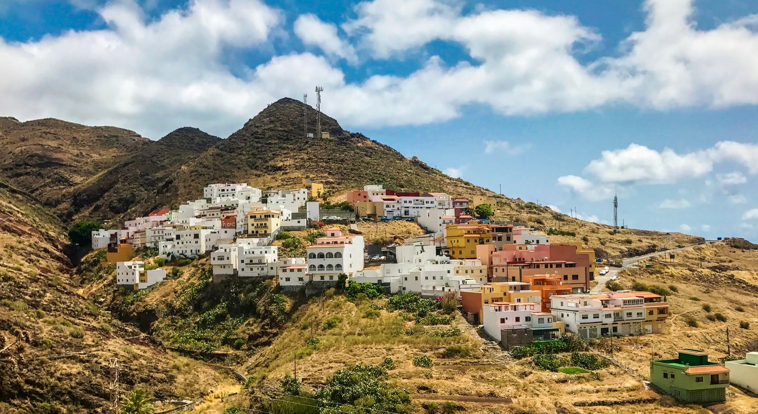


About Arrecife, Lanzarote
A volcanic island designated a UNESCO Biosphere Reserve, Lanzarote’s dramatic landscapes were shaped by an explosive past. Today, its pretty beaches and virtual absence of rain together with duty-free shopping make the island an extremely desirable destination. The main port and capital, Arrecife, is a pleasant town with a modern seafront and colourful gardens. Outside the capital there is plenty to explore, from the dazzling white salt flats of Janubio and the rugged terrain of Fire Mountain to the eerie caves of Los Verdes and an array of unspoilt fishing villages scattered around the coast. The island is home to a great selection of restaurants and local specialities including garbanzos compuestos – a chickpea stew; papas arrugadas – potatoes with carrots, peas, ham and green pepper; and of course, plenty of fresh seafood. Please note that those planning to participate in one of the shore excursions from this port may need to take an early lunch on board ship to suit the excursion schedules.

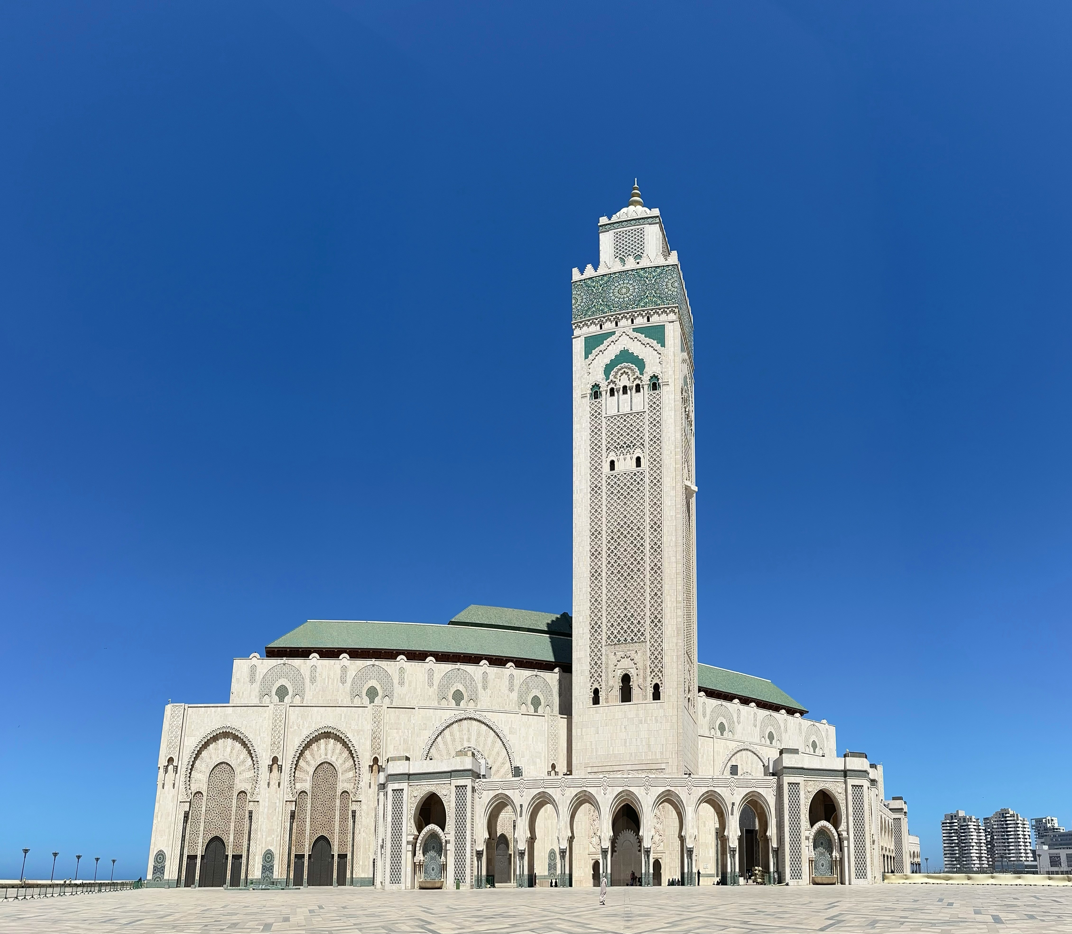
About Casablanca
The original settlement formed on the site of Casablanca by the Berbers became the kingdom of Anfa, and during the 15th century harboured pirates who raided the Portuguese coast. In retaliation for the attacks, the Portuguese destroyed Anfa and founded the town they called Casa Branca (white house). They remained here until an earthquake in 1755 and the town was subsequently rebuilt by Mohammed ben Abdallah, whose legacy of mosques and houses can still be seen in the old Medina. Casablanca acquired its present-day name when the Spanish obtained special port privileges in 1781. The French landed here in 1907, later establishing a protectorate and modelling the town on the port of Marseilles. Today Casablanca is Morocco’s largest city, its most significant port and the centre of commerce and industry. The city is a vibrant fusion of European, African and Arabian influences and its French colonial architecture and art deco buildings seamlessly blend in with the busy, colourful markets. Please note that vendors in the souks can be very persistent and eager to make a sale.


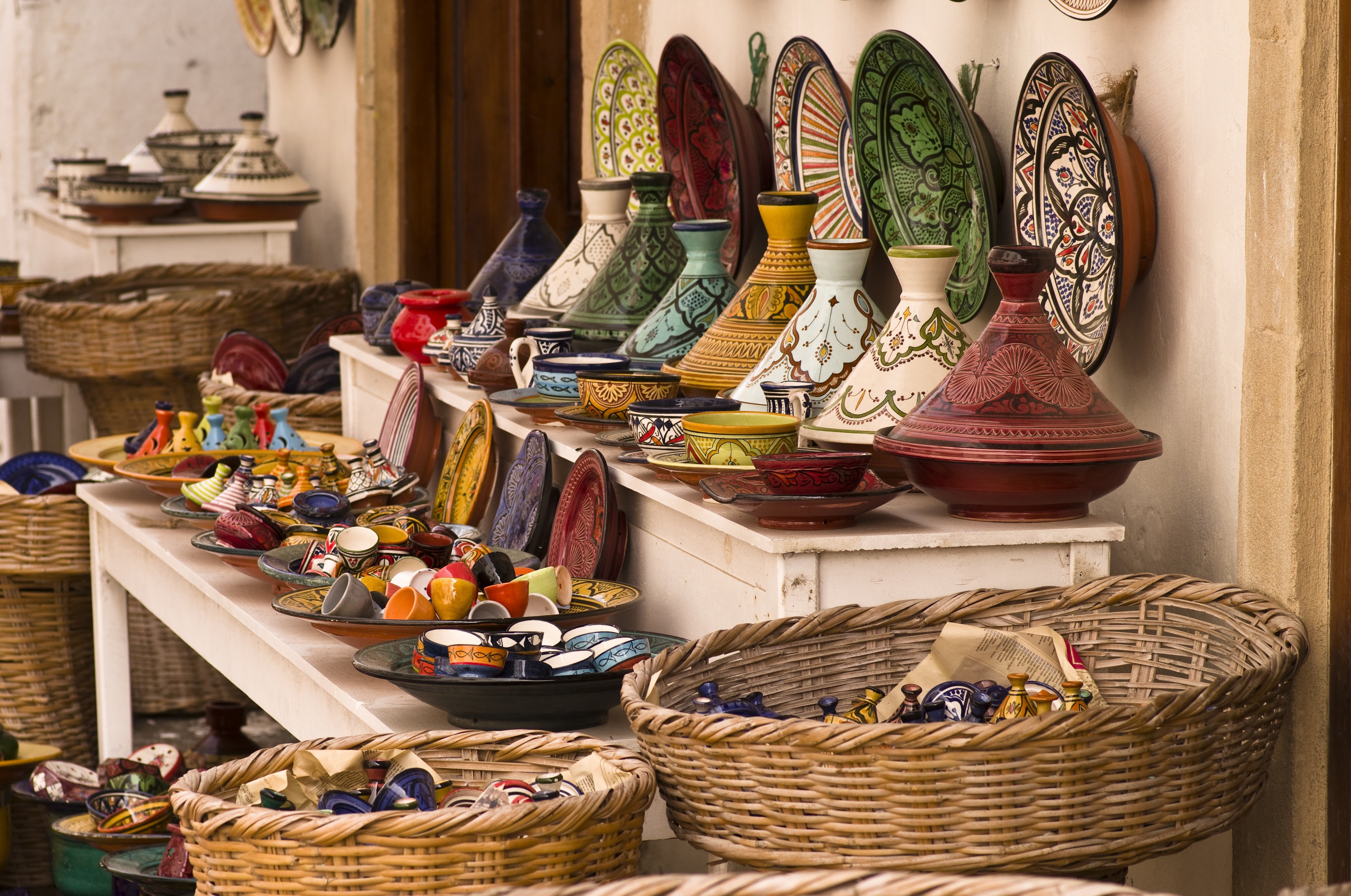
About Tangier
Tangier can trace its origins back to the Phoenicians and ancient Greeks. It was named after Tinge, the mother of Hercules’ son, and its beginnings are embedded in mythology. It was subsequently a Roman province, and after Vandal and Byzantine influences, was occupied by the Arabs with Spain, Portugal, France and England also playing a part in the city’s history. With such a diverse past it is perhaps not surprising that Tangier is such an individual city. Overlooking the Straits of Gibraltar, the city lies on a bay between two promontories. With its old Kasbah, panoramic views, elegant buildings, squares and places of interest, there is much to discover in both the new and old parts of the city.

About Portimão
Portimão is a major fishing port, and significant investment has been poured into transforming it into an attractive cruise port as well. The city itself is spacious and has several good shopping streets—though sadly many of the more traditional retailers have closed in the wake of the global economic crisis. There is also a lovely riverside area that just begs to be strolled (lots of the coastal cruises depart from here). Don’t leave without stopping for an alfresco lunch at the Doca da Sardinha ("sardine dock") between the old bridge and the railway bridge. You can sit at one of many inexpensive establishments, eating charcoal-grilled sardines (a local specialty) accompanied by chewy fresh bread, simple salads, and local wine.


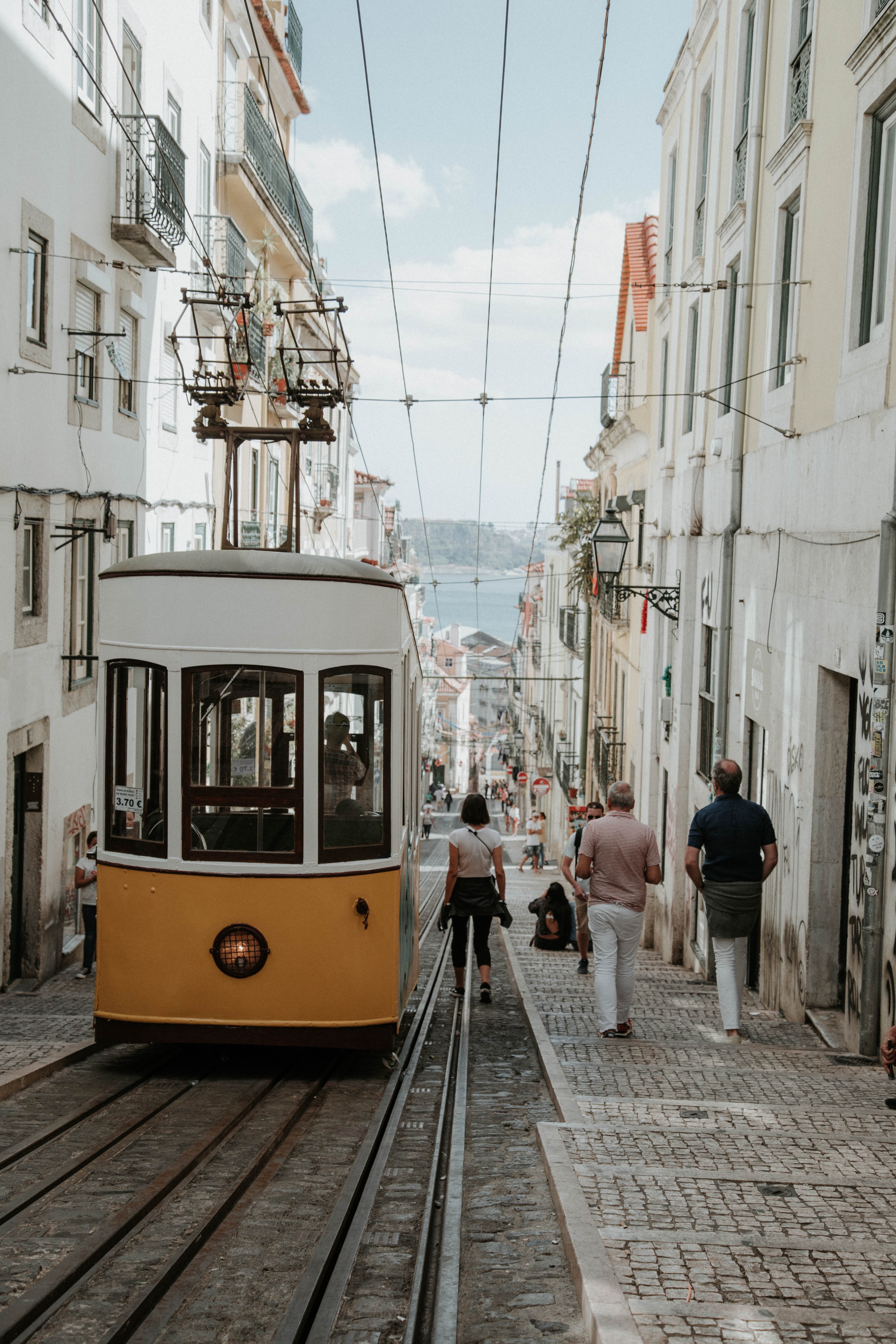
About Lisbon
Set on seven hills on the banks of the River Tagus, Lisbon has been the capital of Portugal since the 13th century. It is a city famous for its majestic architecture, old wooden trams, Moorish features and more than twenty centuries of history. Following disastrous earthquakes in the 18th century, Lisbon was rebuilt by the Marques de Pombal who created an elegant city with wide boulevards and a great riverfront and square, Praça do Comércio. Today there are distinct modern and ancient sections, combining great shopping with culture and sightseeing in the Old Town, built on the city's terraced hillsides. The distance between the ship and your tour vehicle may vary. This distance is not included in the excursion grades.


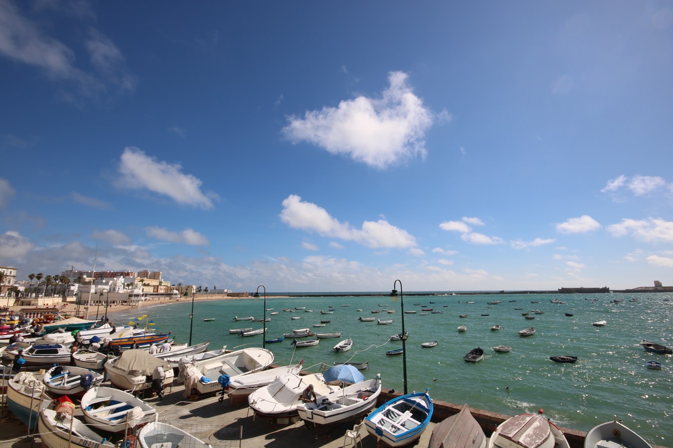
About Cádiz
Believed to be the oldest town on the Iberian Peninsula, the Andalusian port of Cádiz enjoys a stunning location at the edge of a six-mile promontory. The town itself, with 3,000 years of history, is characterised by pretty white houses with balconies often adorned with colourful flowers. As you wander around be sure to take a stroll through the sizeable Plaza de Espãna, with its large monument dedicated to the first Spanish constitution, which was signed here in 1812. Cádiz has two pleasant seafront promenades which boast fine views of the Atlantic Ocean, and has a lovely park, the Parque Genoves, located close to the sea with an open-air theatre and attractive palm garden. Also notable is the neo-Classical cathedral, capped by a golden dome.


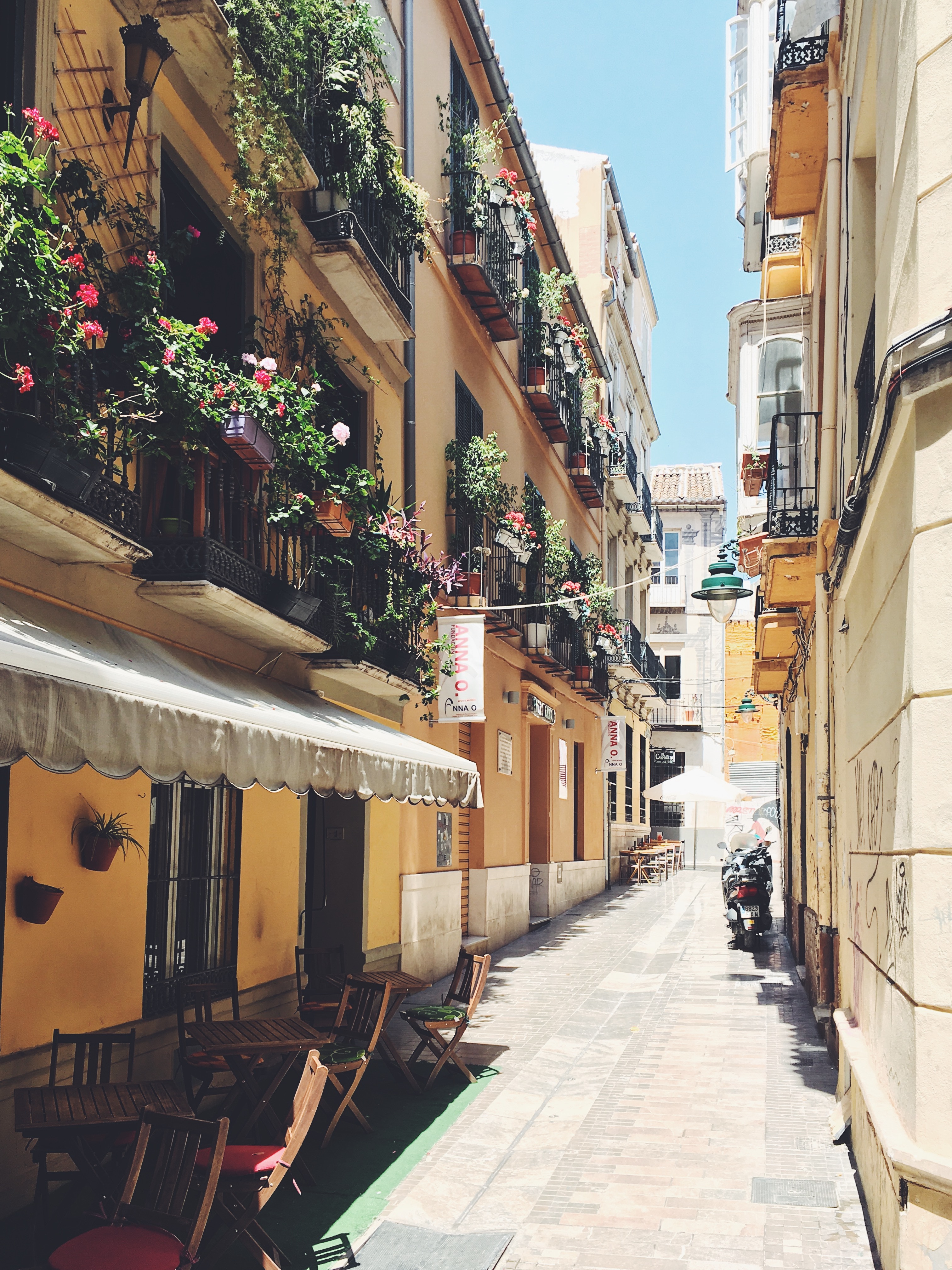
About Málaga
As you sail into Malaga you will notice what an idyllic setting the city enjoys on the famous Costa del Sol. To the east of this provincial capital, the coast along the region of La Axarqua is scattered with villages, farmland and sleepy fishing hamlets - the epitome of traditional rural Spain. To the west stretches a continuous city where the razzmatazz and bustle creates a colourful contrast that is easily recognisable as the Costa del Sol. Surrounding the region, the Penibéetica Mountains provide an attractive backdrop overlooking the lower terraced slopes which yield olives and almonds. This spectacular mountain chain shelters the province from cold northerly winds, giving it a reputation as a therapeutic and exotic place in which to escape from cold northern climes. Malaga is also the gateway to many of Andalusia's enchanting historic villages, towns and cities.


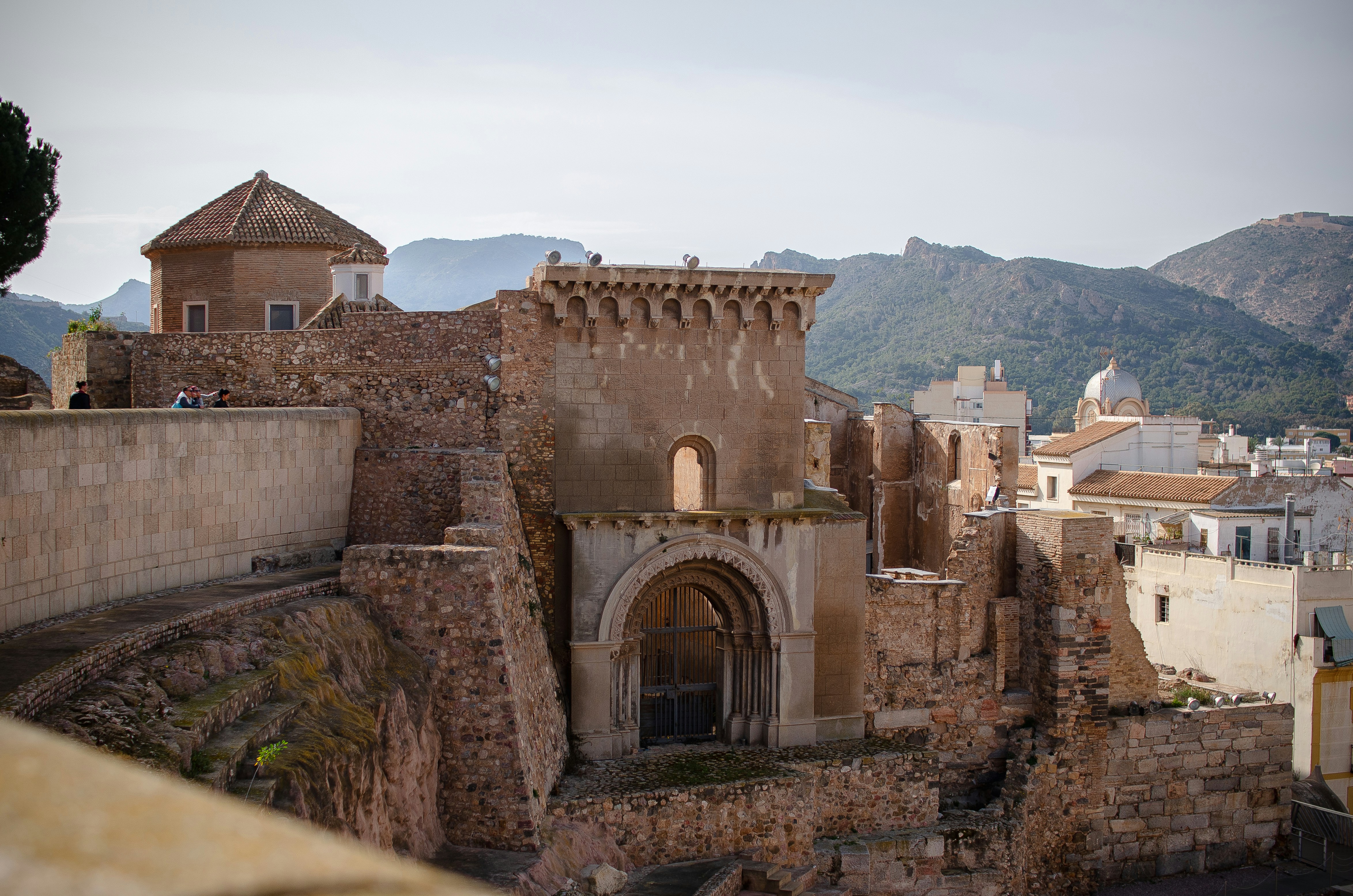
About Cartagena
A Mediterranean city and naval station located in the Region of Murcia, southeastern Spain, Cartagena’s sheltered bay has attracted sailors for centuries. The Carthaginians founded the city in 223BC and named it Cartago Nova; it later became a prosperous Roman colony, and a Byzantine trading centre. The city has been the main Spanish Mediterranean naval base since the reign of King Philip II, and is still surrounded by walls built during this period. Cartagena’s importance grew with the arrival of the Spanish Bourbons in the 18th century, when the Navidad Fortress was constructed to protect the harbour. In recent years, traces of the city’s fascinating past have been brought to light: a well-preserved Roman Theatre was discovered in 1988, and this has now been restored and opened to the public. During your free time, you may like to take a mini-cruise around Cartagena's historic harbour: these operate several times a day, take approximately 40 minutes and do not need to be booked in advance. Full details will be available at the port.

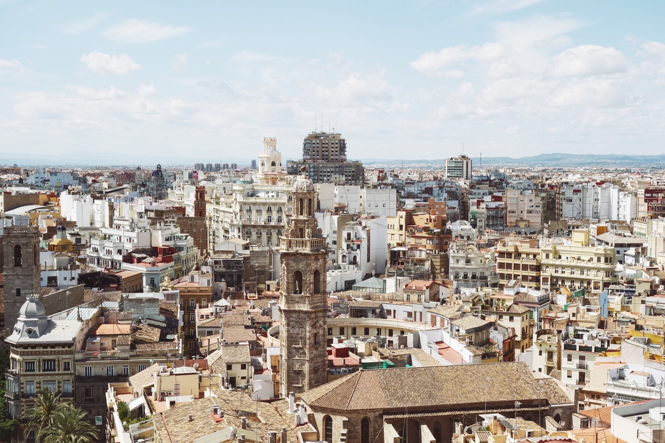
About Valencia
Valencia, Spain's third-largest municipality, is a proud city with a thriving nightlife and restaurant scene, quality museums, and spectacular contemporary architecture, juxtaposed with a thoroughly charming historic quarter, making it a popular destination year in year out. During the Civil War, it was the last seat of the Republican Loyalist government (1935–36), holding out against Franco’s National forces until the country fell to 40 years of dictatorship. Today it represents the essence of contemporary Spain—daring design and architecture along with experimental cuisine—but remains deeply conservative and proud of its traditions. Though it faces the Mediterranean, Valencia's history and geography have been defined most significantly by the River Turia and the fertile huerta that surrounds it.The city has been fiercely contested ever since it was founded by the Greeks. El Cid captured Valencia from the Moors in 1094 and won his strangest victory here in 1099: he died in the battle, but his corpse was strapped into his saddle and so frightened the besieging Moors that it caused their complete defeat. In 1102 his widow, Jimena, was forced to return the city to Moorish rule; Jaume I finally drove them out in 1238. Modern Valencia was best known for its frequent disastrous floods until the River Turia was diverted to the south in the late 1950s. Since then the city has been on a steady course of urban beautification. The lovely bridges that once spanned the Turia look equally graceful spanning a wandering municipal park, and the spectacularly futuristic Ciutat de les Arts i les Ciències (City of Arts and Sciences), most of it designed by Valencia-born architect Santiago Calatrava, has at last created an exciting architectural link between this river town and the Mediterranean. If you're in Valencia, an excursion to Albufera Nature Park is a worthwhile day trip.


About Valletta
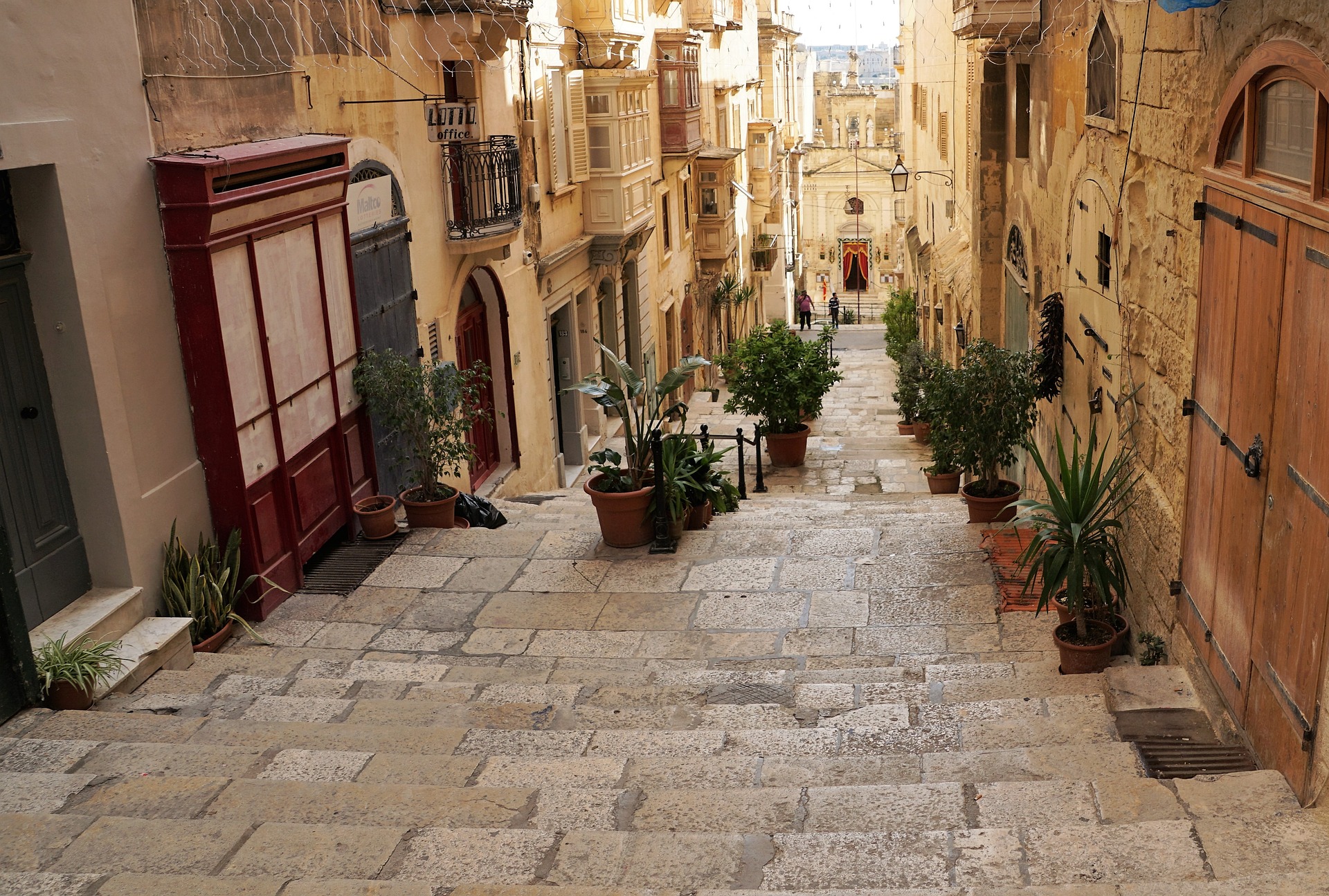
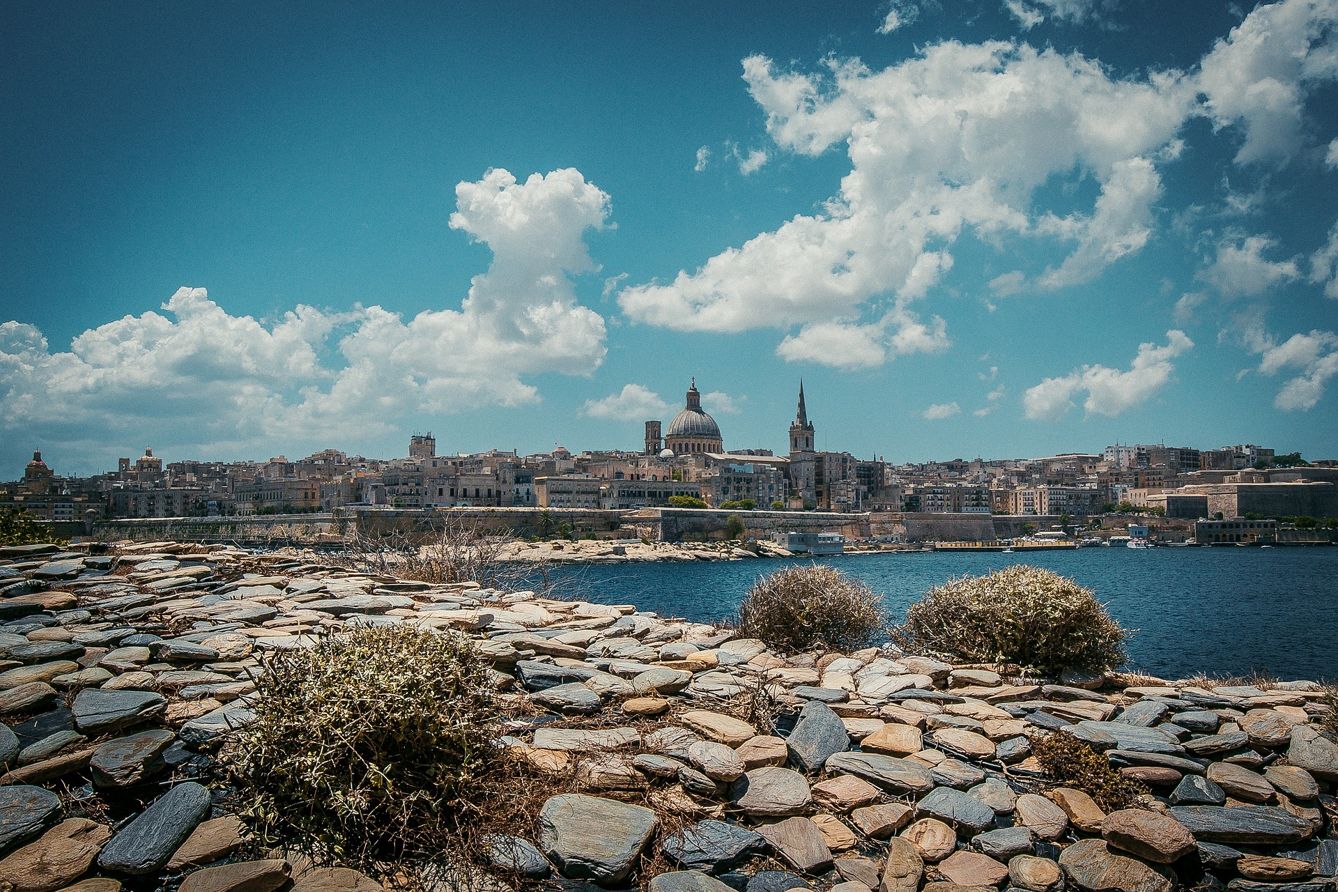
Malta's capital, the minicity of Valletta, has ornate palaces and museums protected by massive fortifications of honey-color limestone. Houses along the narrow streets have overhanging wooden balconies for people-watching from indoors. Generations ago they gave housebound women a window on the world of the street. The main entrance to town is through the City Gate (where all bus routes end), which leads onto Triq Repubblika (Republic Street), the spine of the grid-pattern city and the main shopping street. Triq Mercante (Merchant Street) parallels Repubblika to the east and is also good for strolling. From these two streets, cross streets descend toward the water; some are stepped. Valletta's compactness makes it ideal to explore on foot. City Gate and the upper part of Valletta are experiencing vast redevelopment that includes a new Parliament Building and open-air performance venue. The complex, completed mid-2013, has numerous pedestrian detours in place along with building noise and dust. Before setting out along Republic Street, stop at the tourist information office on Merchant Street for maps and brochures.


About Khania
The second-largest city in Crete and capital of the Homonym Prefecture, Chania is located in Minoan Kidonia at the end of the Homonym Gulf between the Akrotiri and Onicha peninsulas. Chania City is divided into two parts; the Old Town, which is comprised of several connected districts built around the old Venetian Harbour, and New Town, a larger, more modern city whose centre is situated next to, and south of, the Old Town. The Old Town is home to Venetian buildings and Turkish elements that combine to create a unique architectural style, and is considered to be the most beautiful urban district on Crete. It was once surrounded by old Venetian fortifications that separated it from the New Town; however, only the eastern and western parts remain today. Due to its compact size, Skiathos can be easily explored in just a single day.


About Rhodes
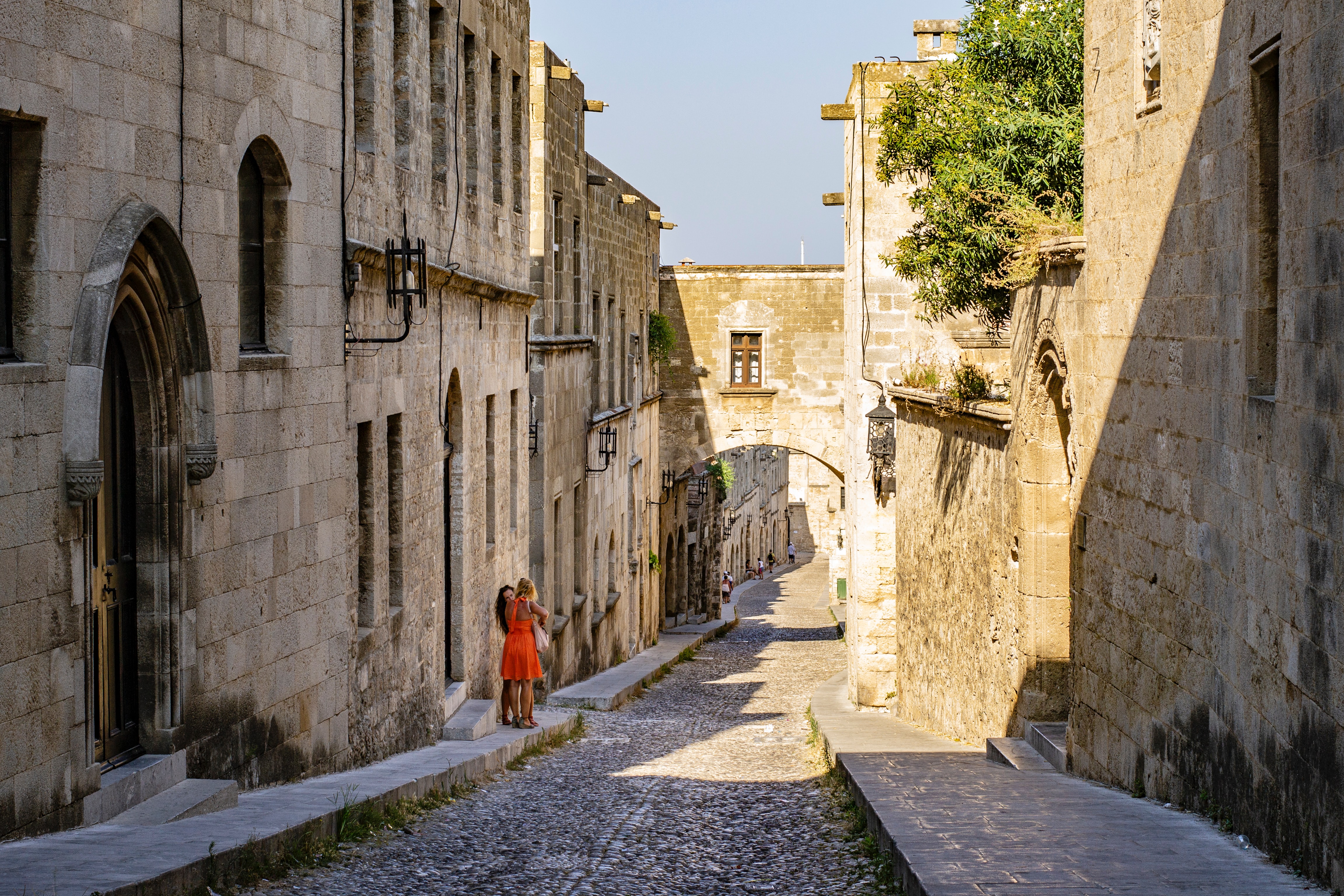
Early travelers described Rhodes as a town of two parts: a castle or high town (Collachium) and a lower city. Today Rhodes town—sometimes referred to as Ródos town—is still a city of two parts: the Old Town, a UNESCO World Heritage site that incorporates the high town and lower city, and the modern metropolis, or New Town, spreading away from the walls that encircle the Old Town. The narrow streets of the Old Town are for the most part closed to cars and are lined with Orthodox and Catholic churches, Turkish houses (some of which follow the ancient orthogonal plan), and medieval public buildings with exterior staircases and facades elegantly constructed of well-cut limestone from Lindos. Careful reconstruction in recent years has enhanced the harmonious effect.




About Kusadasi
Whilst the busy resort town of Kusadasi offers much in the way of shopping and dining – not to mention a flourishing beach life scene, the real jewel here is Ephesus and the stunning ruined city that really take centre stage. With only 20% of the classical ruins having been excavated, this archaeological wonder has already gained the status as Europe’s most complete classical metropolis. And a metropolis it really is; built in the 10th century BC this UNESCO World Heritage site is nothing short of spectacular. Although regrettably very little remains of the Temple of Artemis (one of the seven wonders of the ancient world), the superb Library of Celsus’ façade is practically intact and it is one of life’s great joys to attend an evening performance in the illuminated ruins once all the tourists have left. The history of the city is fascinating and multi-layered and it is well worth reading up on this beforehand if a visit is planned. Another point of interest for historians would be the house of the Virgin Mary, located on the romantically named Mount Nightingale and just nine kilometres away from Ephesus proper. Legend has it that Mary (along with St. John) spent her final years here, secluded from the rest of the population, spreading Christianity. An edifying experience, even for non-believers. For the less historical minded amongst you, Kusadasi offers plenty in the way of activities. After a stroll through the town, jump in a taxi to Ladies’ Beach (men are allowed), sample a Turkish kebap on one of the many beachfront restaurants and enjoy the clement weather. If you do want to venture further afield, then the crystal clear beaches of Guzelcamli (or the Millipark), the cave of Zeus and the white scalloped natural pools at Pamukkale, known as Cleopatra’s pools, are definitely worth a visit.


About Istanbul
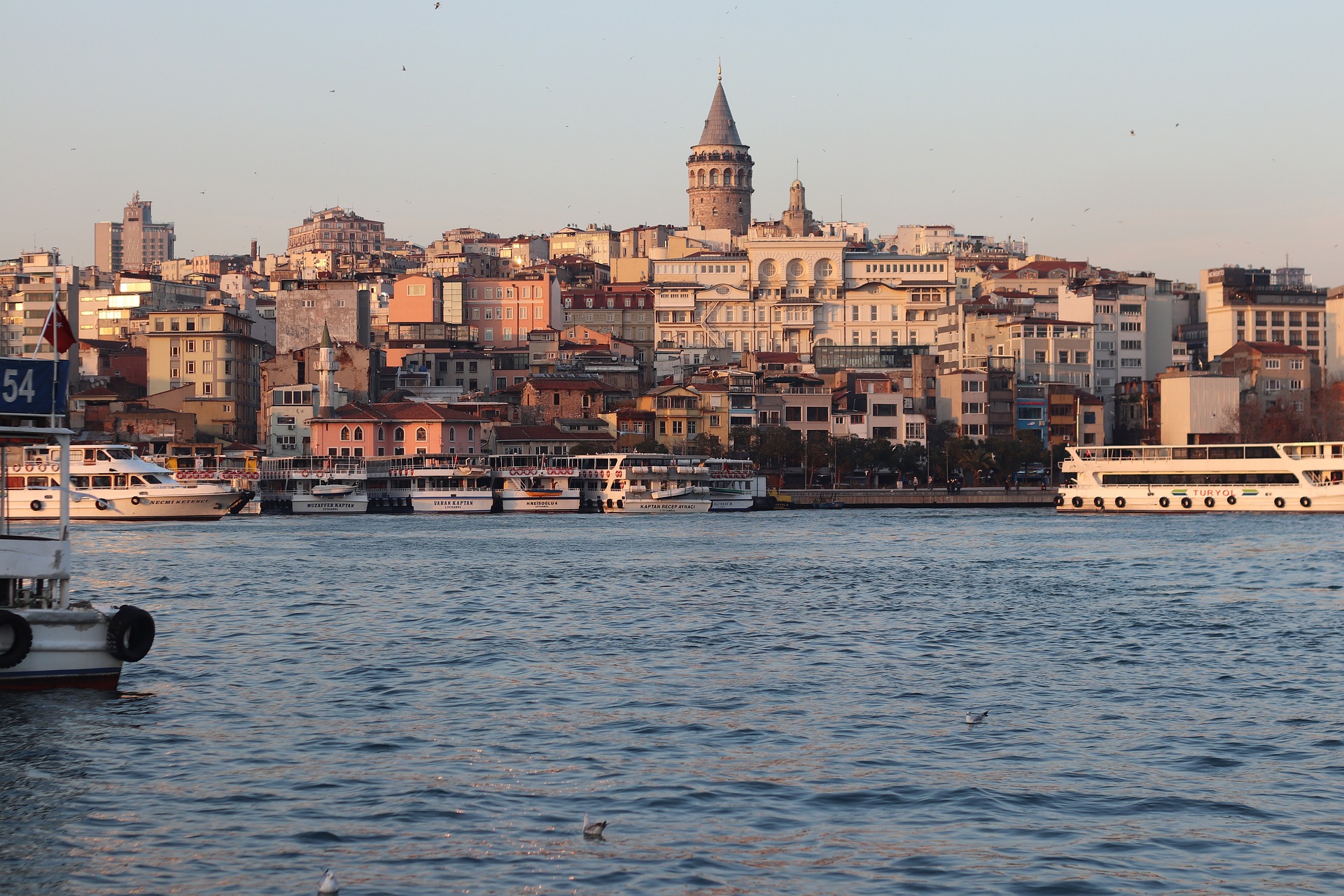
The only city in the world that can lay claim to straddling two continents, Istanbul—once known as Constantinople, capital of the Byzantine and then the Ottoman Empire—has for centuries been a bustling metropolis with one foot in Europe and the other in Asia. Istanbul embraces this enviable position with both a certain chaos and inventiveness, ever evolving as one of the world’s most cosmopolitan crossroads. It’s often said that Istanbul is the meeting point of East and West, but visitors to this city built over the former capital of two great empires are likely to be just as impressed by the juxtaposition of old and new. Office towers creep up behind historic palaces, women in chic designer outfits pass others wearing long skirts and head coverings, peddlers’ pushcarts vie with battered old Fiats and shiny BMWs for dominance of the noisy, narrow streets, and the Grand Bazaar competes with modern shopping malls. At dawn, when the muezzin's call to prayer resounds from ancient minarets, there are inevitably a few hearty revelers still making their way home from nightclubs and bars. Most visitors to this sprawling city of more than 14 million will first set foot in the relatively compact Old City, where the legacy of the Byzantine and Ottoman empires can be seen in monumental works of architecture like the brilliant Aya Sofya and the beautifully proportioned mosques built by the great architect Sinan. Though it would be easy to spend days, if not weeks, exploring the wealth of attractions in the historical peninsula, visitors should make sure also to venture elsewhere in order to experience the vibrancy of contemporary Istanbul. With a lively nightlife propelled by its young population and an exciting arts scene that’s increasingly on the international radar—thanks in part to its stint as the European Capital of Culture in 2010—Istanbul is truly a city that never sleeps. It’s also a place where visitors will feel welcome: Istanbul may be on the Bosphorus, but at heart it’s a Mediterranean city, whose friendly inhabitants are effusively social and eager to share what they love most about it.


About Çanakkale

About Thessaloníki


About Vólos

About Mykonos
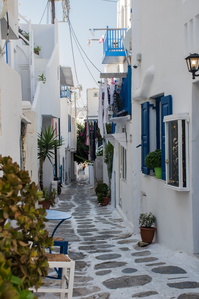
Although the fishing boats still go out in good weather, Mykonos largely makes its living from tourism these days. The summer crowds have turned one of the poorest islands in Greece into one of the richest. Old Mykonians complain that their young, who have inherited stores where their grandfathers once sold eggs or wine, get so much rent that they have lost ambition, and in summer sit around pool bars at night with their friends, and hang out in Athens in winter when island life is less scintillating. Put firmly on the map by Jackie O in the 1960s, Mykonos town—called Hora by the locals—remains the Saint-Tropez of the Greek islands. The scenery is memorable, with its whitewashed streets, Little Venice, the Kato Myli ridge of windmills, and Kastro, the town's medieval quarter. Its cubical two- or three-story houses and churches, with their red or blue doors and domes and wooden balconies, have been long celebrated as some of the best examples of classic Cycladic architecture. Luckily, the Greek Archaeological Service decided to preserve the town, even when the Mykonians would have preferred to rebuild, and so the Old Town has been impressively preserved. Pink oleander, scarlet hibiscus, and trailing green pepper trees form a contrast amid the dazzling whiteness, whose frequent renewal with whitewash is required by law. Any visitor who has the pleasure of getting lost in its narrow streets (made all the narrower by the many outdoor stone staircases, which maximize housing space in the crowded village) will appreciate how its confusing layout was designed to foil pirates—if it was designed at all. After Mykonos fell under Turkish rule in 1537, the Ottomans allowed the islanders to arm their vessels against pirates, which had a contradictory effect: many of them found that raiding other islands was more profitable than tilling arid land. At the height of Aegean piracy, Mykonos was the principal headquarters of the corsair fleets—the place where pirates met their fellows, found willing women, and filled out their crews. Eventually the illicit activity evolved into a legitimate and thriving trade network. Morning on Mykonos town's main quay is busy with deliveries, visitors for the Delos boats, lazy breakfasters, and street cleaners dealing with the previous night's mess. In late morning the cruise-boat people arrive, and the shops are all open. In early afternoon, shaded outdoor tavernas are full of diners eating salads (Mykonos's produce is mostly imported); music is absent or kept low. In mid- and late afternoon, the town feels sleepy, since so many people are at the beach, on excursions, or sleeping in their air-conditioned rooms; even some tourist shops close for siesta. By sunset, people have come back from the beach, having taken their showers and rested. At night, the atmosphere in Mykonos ramps up. The cruise-boat people are mostly gone, coughing three-wheelers make no deliveries in the narrow streets, and everyone is dressed sexy for summer and starting to shimmy with the scene. Many shops stay open past midnight, the restaurants fill up, and the bars and discos make ice cubes as fast as they can. Ready to dive in? Begin your tour of Mykonos town (Hora) by starting out at its heart: Mando Mavrogenous Square.



About Piraeus
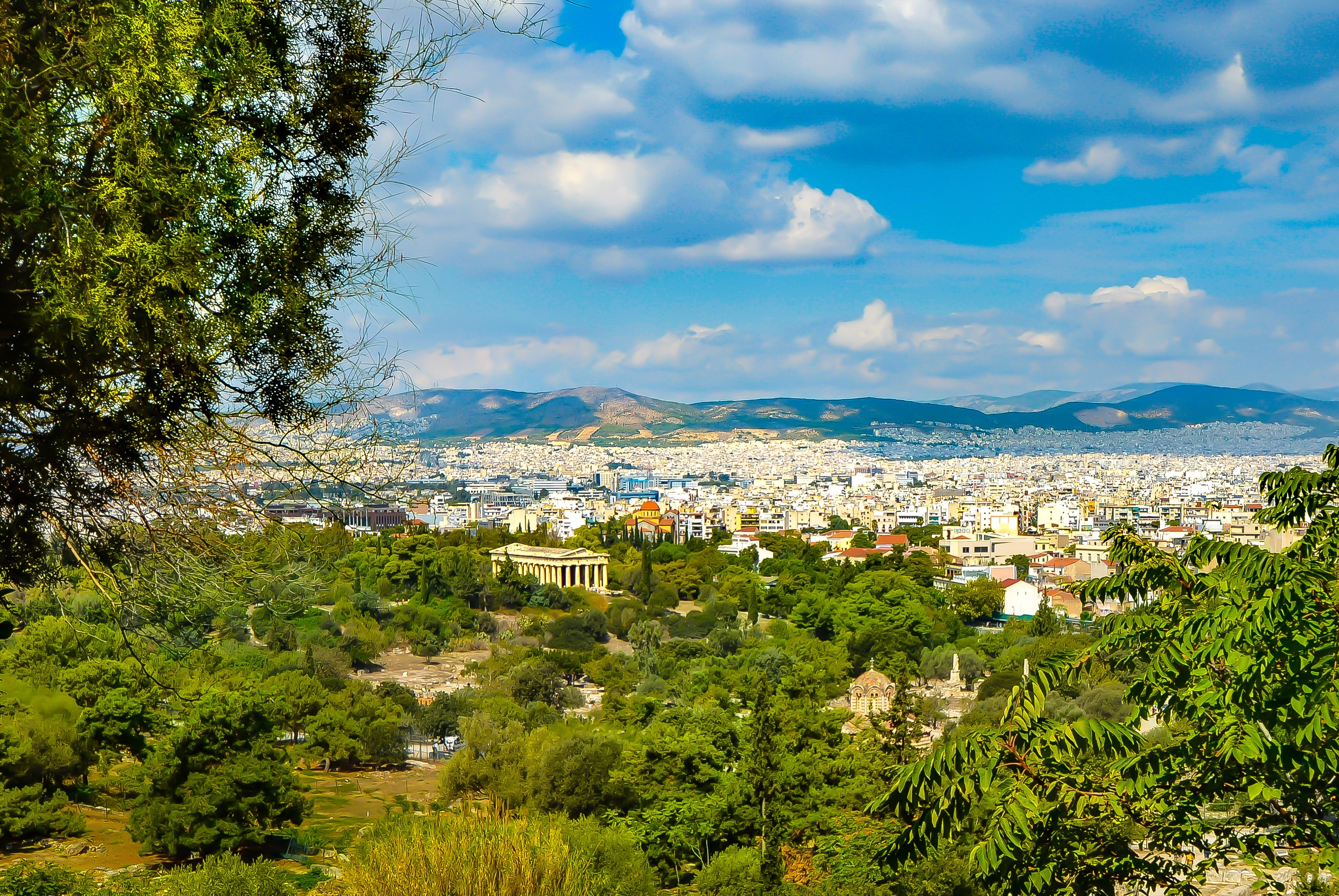
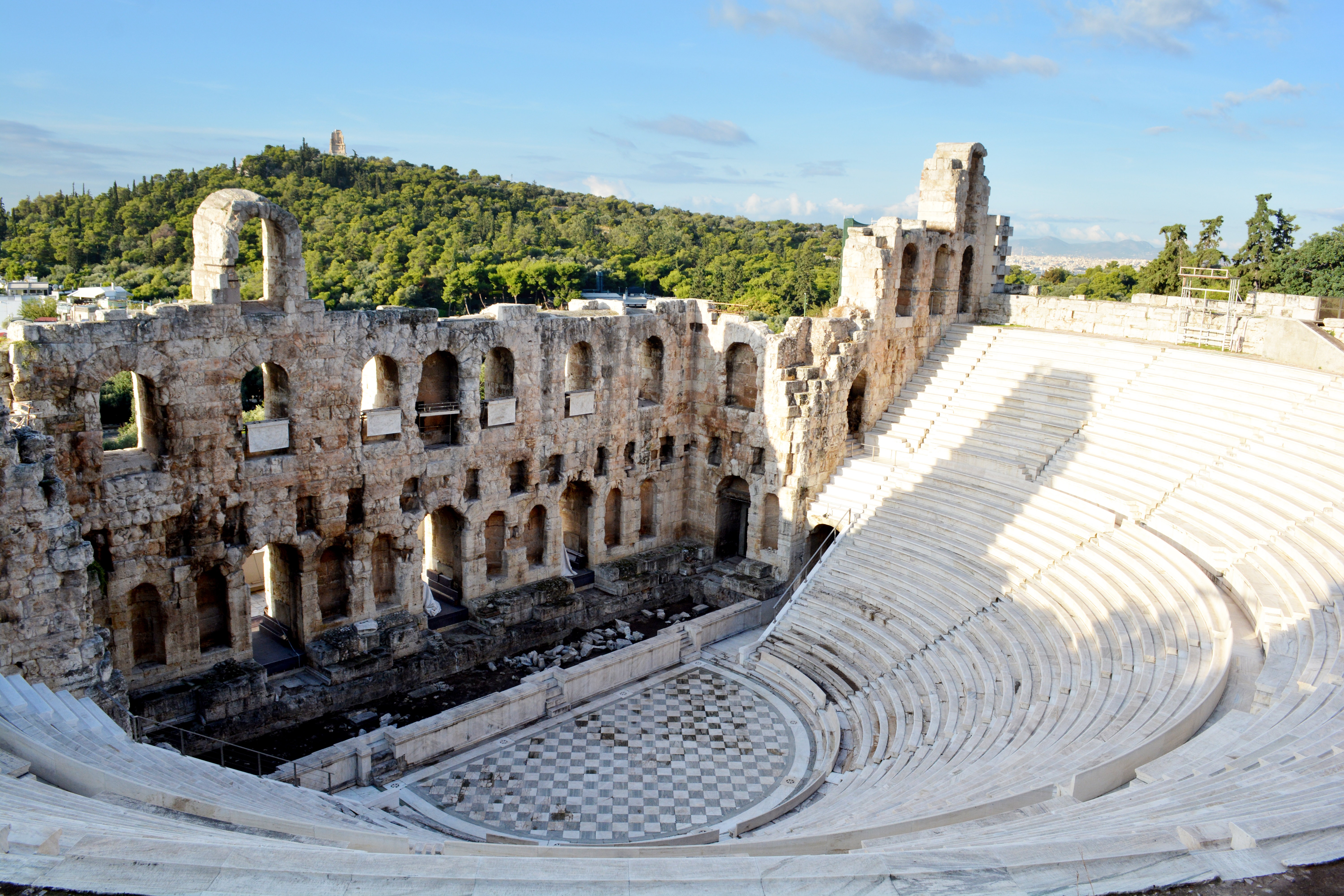
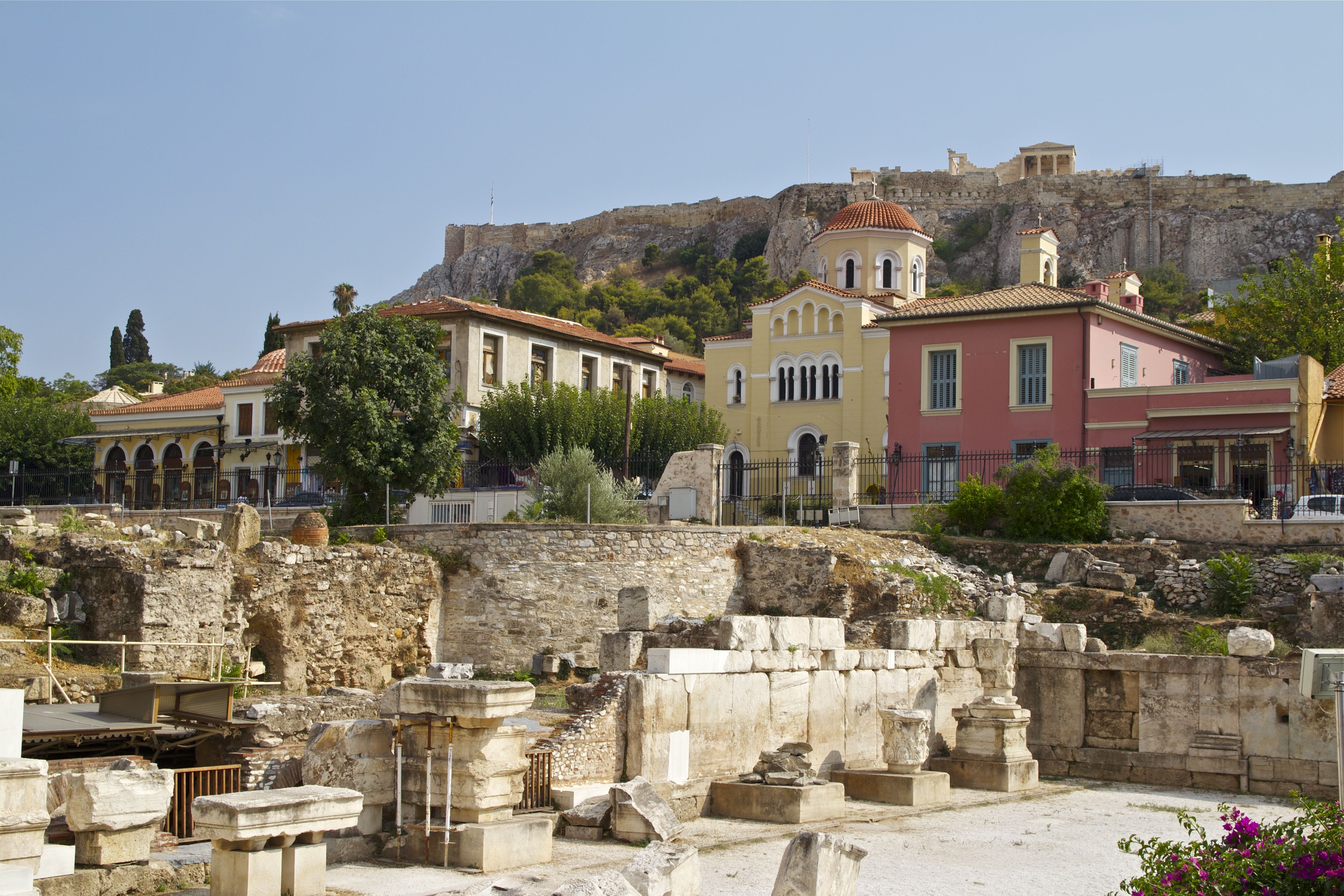
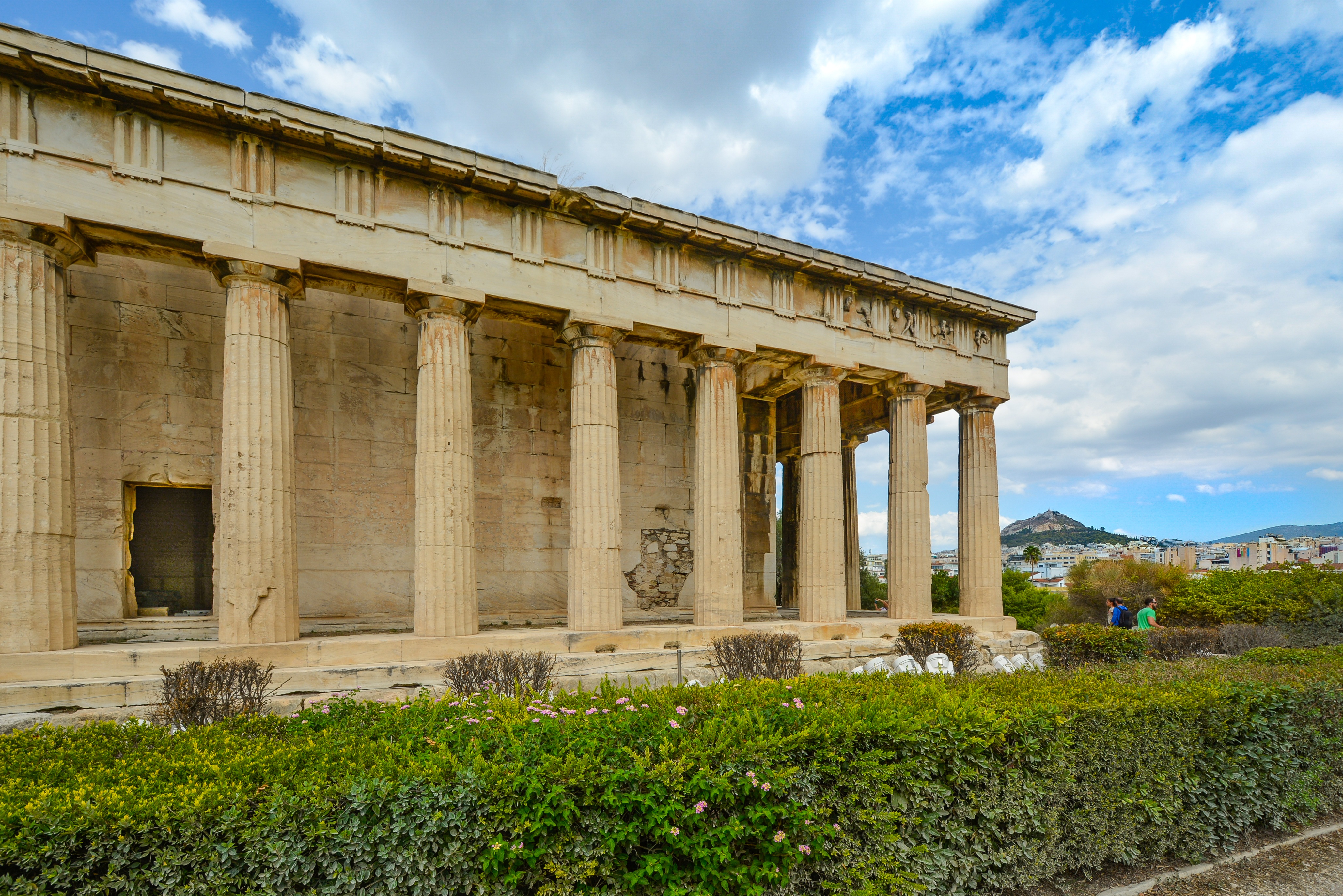
It's no wonder that all roads lead to the fascinating and maddening metropolis of Athens. Lift your eyes 200 feet above the city to the Parthenon, its honey-color marble columns rising from a massive limestone base, and you behold architectural perfection that has not been surpassed in 2,500 years. But, today, this shrine of classical form dominates a 21st-century boomtown. To experience Athens—Athína in Greek—fully is to understand the essence of Greece: ancient monuments surviving in a sea of cement, startling beauty amid the squalor, tradition juxtaposed with modernity. Locals depend on humor and flexibility to deal with the chaos; you should do the same. The rewards are immense. Although Athens covers a huge area, the major landmarks of the ancient Greek, Roman, and Byzantine periods are close to the modern city center. You can easily walk from the Acropolis to many other key sites, taking time to browse in shops and relax in cafés and tavernas along the way. From many quarters of the city you can glimpse "the glory that was Greece" in the form of the Acropolis looming above the horizon, but only by actually climbing that rocky precipice can you feel the impact of the ancient settlement. The Acropolis and Filopappou, two craggy hills sitting side by side; the ancient Agora (marketplace); and Kerameikos, the first cemetery, form the core of ancient and Roman Athens. Along the Unification of Archaeological Sites promenade, you can follow stone-paved, tree-lined walkways from site to site, undisturbed by traffic. Cars have also been banned or reduced in other streets in the historical center. In the National Archaeological Museum, vast numbers of artifacts illustrate the many millennia of Greek civilization; smaller museums such as the Goulandris Museum of Cycladic Art Museum and the Byzantine and Christian Museum illuminate the history of particular regions or periods. Athens may seem like one huge city, but it is really a conglomeration of neighborhoods with distinctive characters. The Eastern influences that prevailed during the 400-year rule of the Ottoman Empire are still evident in Monastiraki, the bazaar area near the foot of the Acropolis. On the northern slope of the Acropolis, stroll through Plaka (if possible by moonlight), an area of tranquil streets lined with renovated mansions, to get the flavor of the 19th-century's gracious lifestyle. The narrow lanes of Anafiotika, a section of Plaka, thread past tiny churches and small, color-washed houses with wooden upper stories, recalling a Cycladic island village. In this maze of winding streets, vestiges of the older city are everywhere: crumbling stairways lined with festive tavernas; dank cellars filled with wine vats; occasionally a court or diminutive garden, enclosed within high walls and filled with magnolia trees and the flaming trumpet-shaped flowers of hibiscus bushes. Formerly run-down old quarters, such as Thission, Gazi and Psirri, popular nightlife areas filled with bars and mezedopoleia (similar to tapas bars), are now in the process of gentrification, although they still retain much of their original charm, as does the colorful produce and meat market on Athinas. The area around Syntagma Square, the tourist hub, and Omonia Square, the commercial heart of the city about 1 km (½ mi) northwest, is distinctly European, having been designed by the court architects of King Otho, a Bavarian, in the 19th century. The chic shops and bistros of ritzy Kolonaki nestle at the foot of Mt. Lycabettus, Athens's highest hill (909 feet). Each of Athens's outlying suburbs has a distinctive character: in the north is wealthy, tree-lined Kifissia, once a summer resort for aristocratic Athenians, and in the south and southeast lie Glyfada, Voula, and Vouliagmeni, with their sandy beaches, seaside bars, and lively summer nightlife. Just beyond the city's southern fringes is Piraeus, a bustling port city of waterside fish tavernas and Saronic Gulf views.



About Santorini
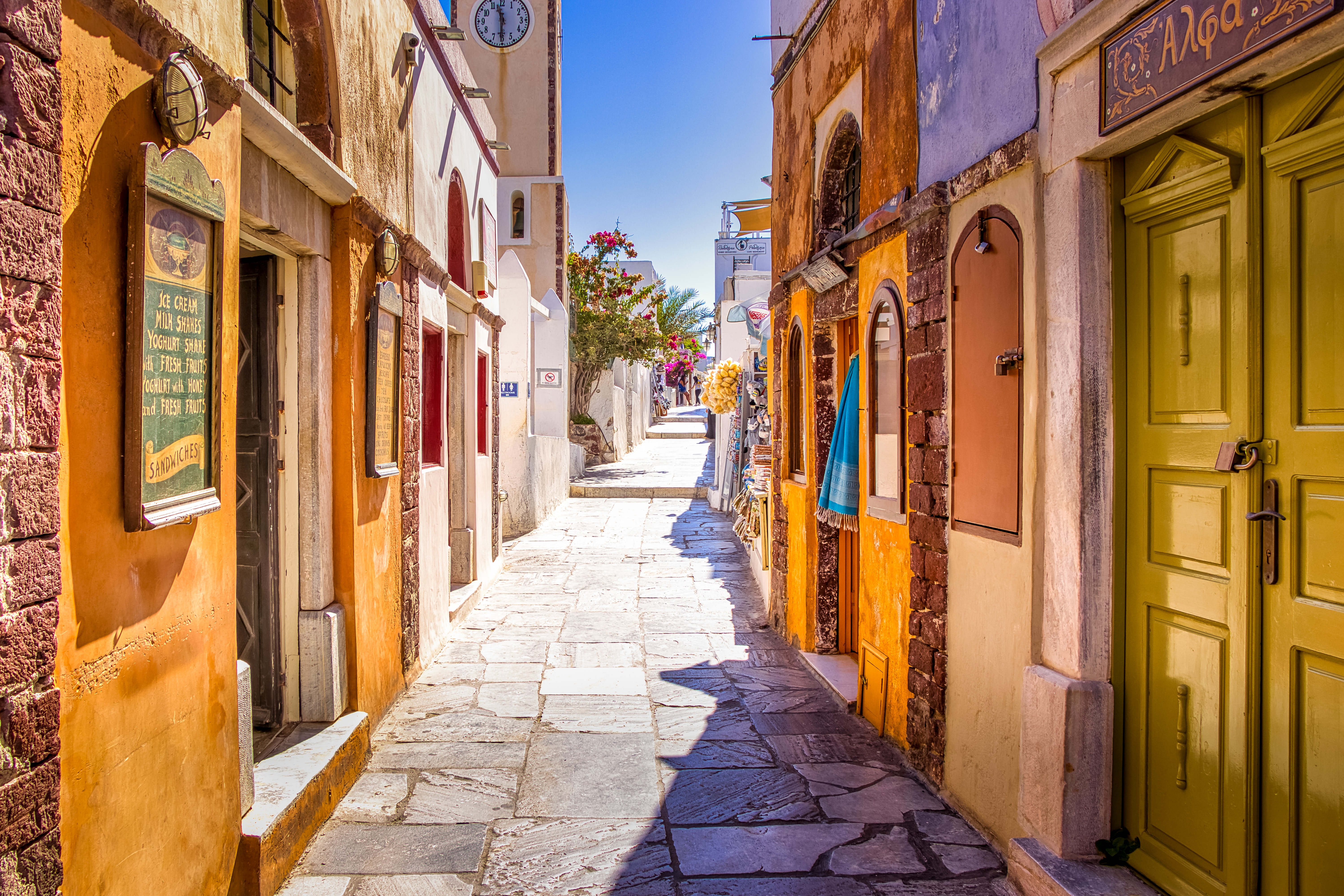
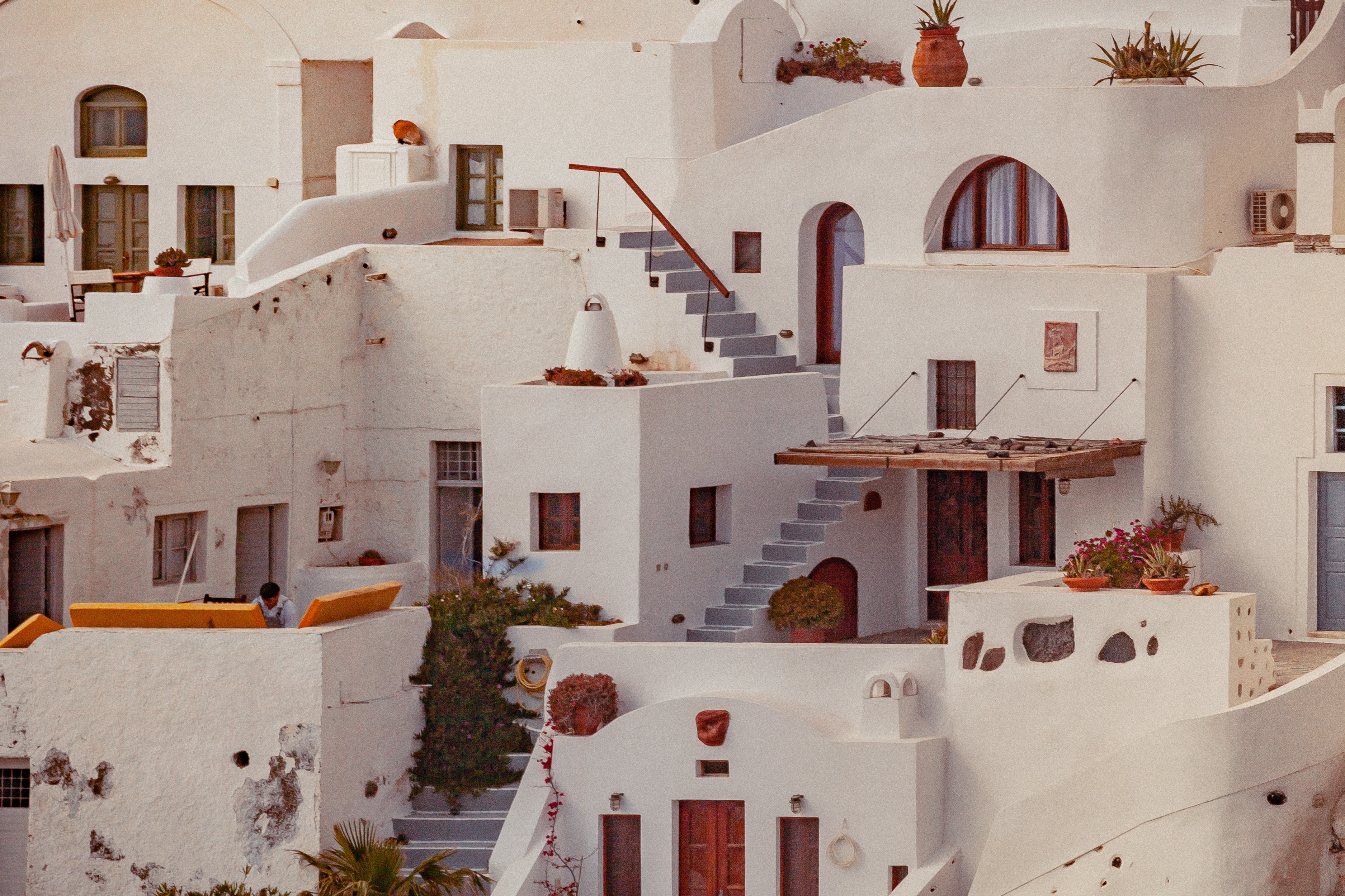
Undoubtedly the most extraordinary island in the Aegean, crescent-shape Santorini remains a mandatory stop on the Cycladic tourist route—even if it's necessary to enjoy the sensational sunsets from Ia, the fascinating excavations, and the dazzling white towns with a million other travelers. Called Kállisti (the "Loveliest") when first settled, the island has now reverted to its subsequent name of Thira, after the 9th-century-BC Dorian colonizer Thiras. The place is better known, however, these days as Santorini, a name derived from its patroness, St. Irene of Thessaloniki, the Byzantine empress who restored icons to Orthodoxy and died in 802. You can fly conveniently to Santorini, but to enjoy a true Santorini rite of passage, opt instead for the boat trip here, which provides a spectacular introduction. After the boat sails between Sikinos and Ios, your deck-side perch approaches two close islands with a passage between them. The bigger one on the left is Santorini, and the smaller on the right is Thirassia. Passing between them, you see the village of Ia adorning Santorini's northernmost cliff like a white geometric beehive. You are in the caldera (volcanic crater), one of the world's truly breathtaking sights: a demilune of cliffs rising 1,100 feet, with the white clusters of the towns of Fira and Ia perched along the top. The bay, once the high center of the island, is 1,300 feet in some places, so deep that when boats dock in Santorini's shabby little port of Athinios, they do not drop anchor. The encircling cliffs are the ancient rim of a still-active volcano, and you are sailing east across its flooded caldera. On your right are the Burnt isles, the White isle, and other volcanic remnants, all lined up as if some outsize display in a geology museum. Hephaestus's subterranean fires smolder still—the volcano erupted in 198 BC, about 735, and there was an earthquake in 1956. Indeed, Santorini and its four neighboring islets are the fragmentary remains of a larger landmass that exploded about 1600 BC: the volcano's core blew sky high, and the sea rushed into the abyss to create the great bay, which measures 10 km by 7 km (6 mi by 4½ mi) and is 1,292 feet deep. The other pieces of the rim, which broke off in later eruptions, are Thirassia, where a few hundred people live, and deserted little Aspronissi ("White isle"). In the center of the bay, black and uninhabited, two cones, the Burnt Isles of Palea Kameni and Nea Kameni, appeared between 1573 and 1925. There has been too much speculation about the identification of Santorini with the mythical Atlantis, mentioned in Egyptian papyri and by Plato (who says it's in the Atlantic), but myths are hard to pin down. This is not true of old arguments about whether tidal waves from Santorini's cataclysmic explosion destroyed Minoan civilization on Crete, 113 km (70 mi) away. The latest carbon-dating evidence, which points to a few years before 1600 BC for the eruption, clearly indicates that the Minoans outlasted the eruption by a couple of hundred years, but most probably in a weakened state. In fact, the island still endures hardships: since antiquity, Santorini has depended on rain collected in cisterns for drinking and irrigating—the well water is often brackish—and the serious shortage is alleviated by the importation of water. However, the volcanic soil also yields riches: small, intense tomatoes with tough skins used for tomato paste (good restaurants here serve them); the famous Santorini fava beans, which have a light, fresh taste; barley; wheat; and white-skin eggplants.


About Monemvasía
Monemvasia boasts a varied and colorful history that can be traced to the 8th-century when Greeks fleeing the Slav invasion of Lakonia found refuge here. In its heyday it controlled sea travel between the Levant and European shores. The wall-encircled Lower Town extends along the slopes of a 985-foot-high crag that projects into the sea on the east side of the Peloponnese. For centuries an impressive stronghold, population dwindled as the inhabitants moved to the mainland. But with the beginning of a restoration program aimed to preserve Monemvasia's heritage, the Lower Town experienced a new lease on life, and people have begun to return. The Upper Town is situated on top of the Rock of Monemvasia. It is reached via a zigzagging, paved lane. An almost impregnable bastion in earlier days, it has been uninhabited for centuries, but still manages to preserve its magnificent appearance. Visitors today can explore the remains of the ancient citadel-castle and visit the church of Hagia Sofia. From the summit there is also a fantastic view of the surrounding area.


About Katakolon
Katakolon could not seem less of a cruise port if it tried. A tiny enclave clinging to the western Peloponnese coast, it's a sleepy place except when ships dock. But it's a popular cruise destination because of its proximity to Olympia. Ancient Olympia was one of the most important cities in classical Greece. The Sanctuary of Zeus was the city's raison d'être, and attracted pilgrims from around the eastern Mediterranean, and later the city played host to Olympic Games, the original athletic games that were the inspiration for today's modern sporting pan-planetary meet. At the foot of the tree-covered Kronion hill, in a valley near two rivers, Katakolon is today one of the most popular ancient sites in Greece. If you don't want to make the trip to Olympia, then Katakolon is an ideal place for a leisurely Greek lunch while you watch the fishermen mend their nets, but there's just not much else to do there.


About Corfu
Corfu town today is a vivid tapestry of cultures—a sophisticated weave, where charm, history, and natural beauty blend. Located about midway along the island's east coast, this spectacularly lively capital is the cultural heart of Corfu and has a remarkable historic center that UNESCO designated as a World Heritage Site in 2007. All ships and planes dock or land near Corfu town, which occupies a small peninsula jutting into the Ionian Sea.Whether arriving by ferry from mainland Greece or Italy, from another island, or directly by plane, catch your breath by first relaxing with a coffee or a gelato in Corfu town's shaded Liston Arcade, then stroll the narrow lanes of its pedestrians-only quarter. For an overview of the immediate area, and a quick tour of Mon Repos palace, hop on the little tourist train that runs from May to September. Corfu town has a different feel at night, so book a table at one of its famed tavernas to savor the island's unique cuisine.The best way to get around Corfu town is on foot. The town is small enough so that you can easily walk to every sight. There are local buses, but they do not thread their way into the streets (many now car-free) of the historic center. If you are arriving by ferry or plane, it's best to take a taxi to your hotel. Expect to pay about €10 from the airport or ferry terminal to a hotel in Corfu town. If there are no taxis waiting, you can call for one.


About Dubrovnik
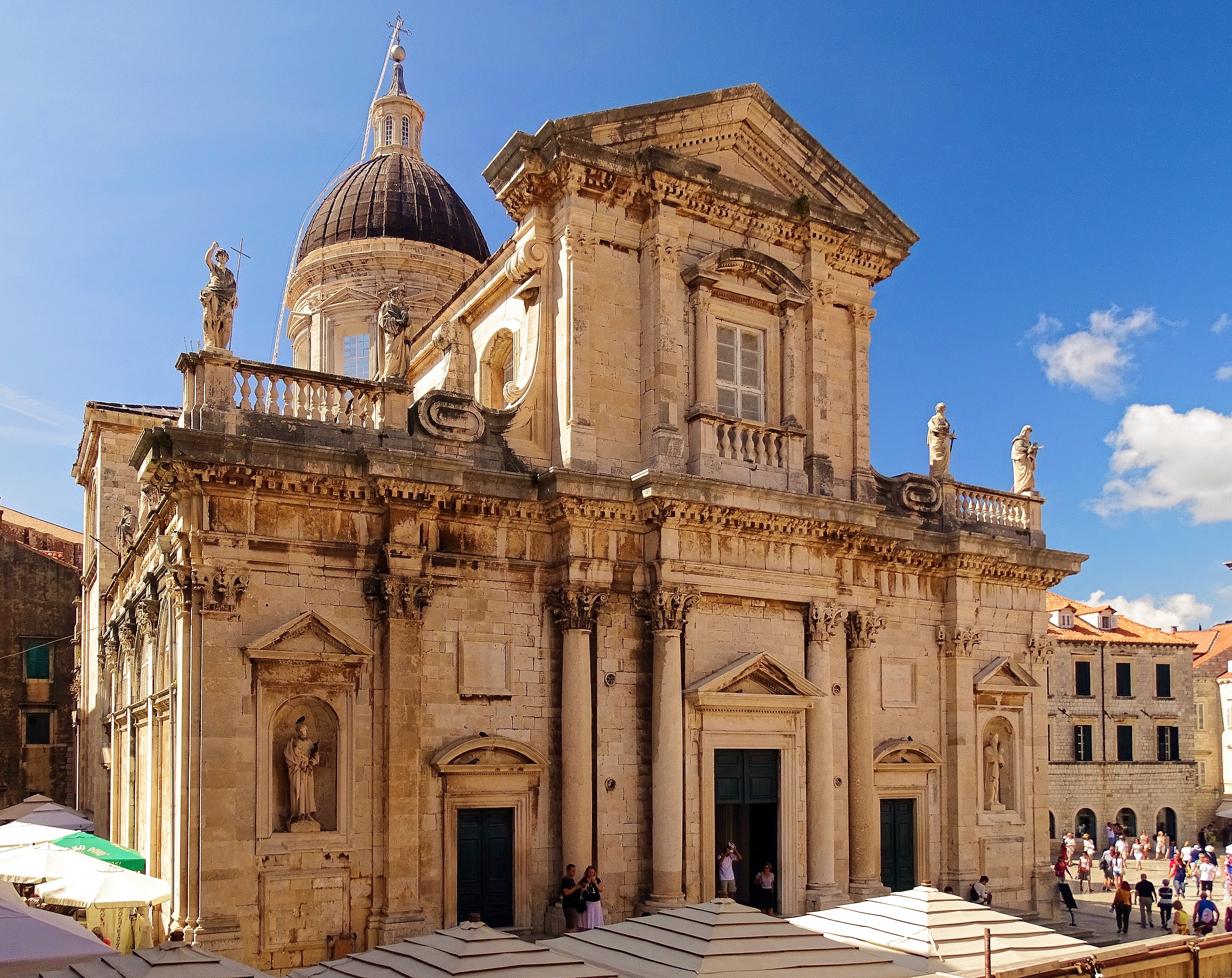
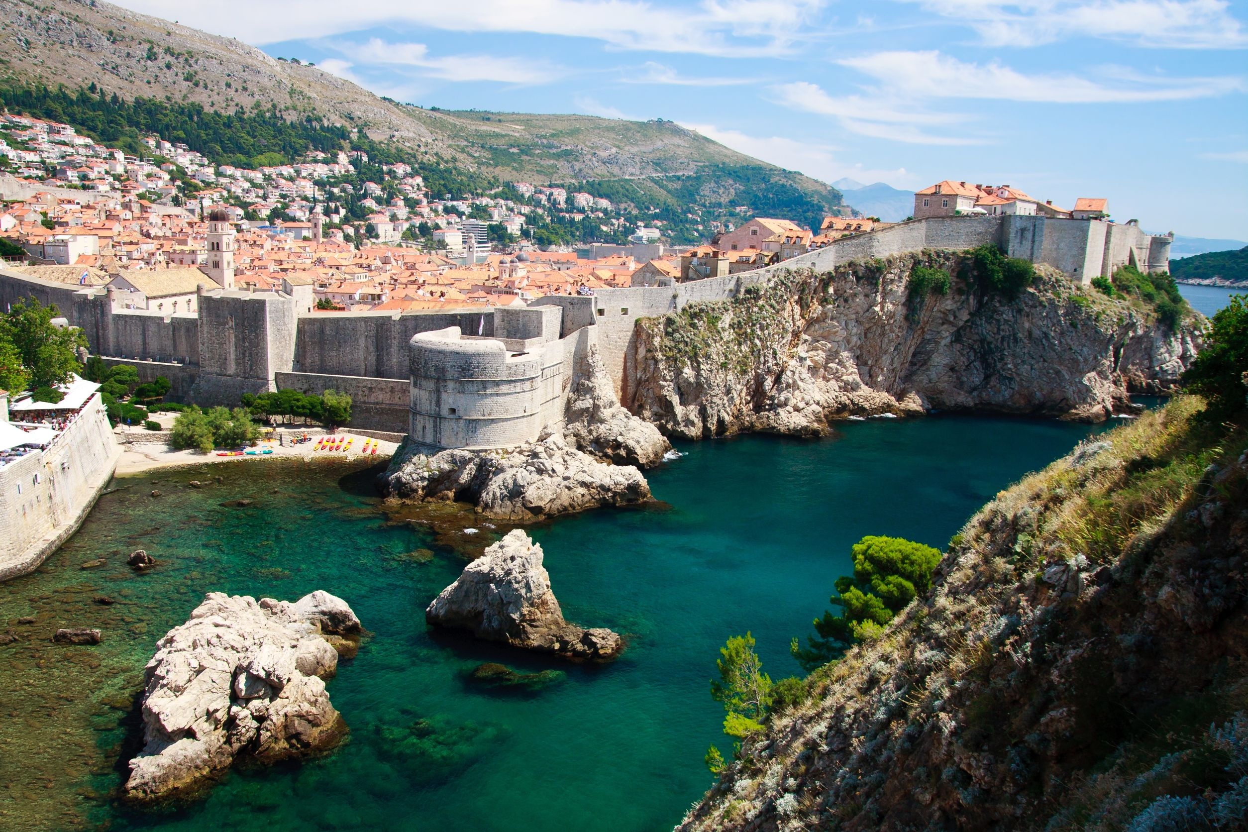
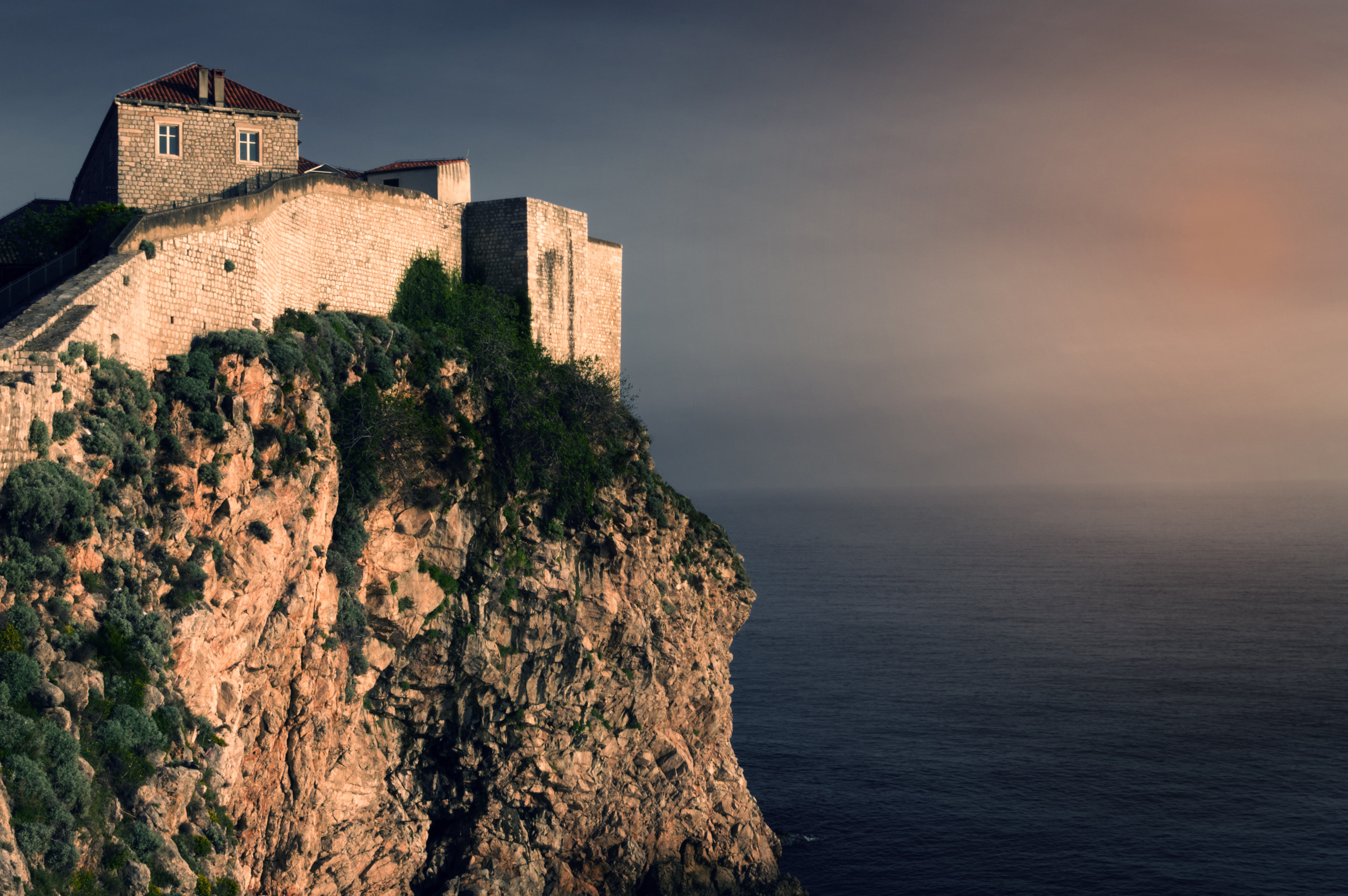
Nothing can prepare you for your first sight of Dubrovnik. Lying 216 km (135 miles) southeast of Split and commanding a jaw-dropping coastal location, it is one of the world's most beautiful fortified cities. Its massive stone ramparts and fortress towers curve around a tiny harbor, enclosing graduated ridges of sun-bleached orange-tiled roofs, copper domes, and elegant bell towers. Your imagination will run wild picturing what it looked like seven centuries ago when the walls were built, without any suburbs or highways around it, just this magnificent stone city rising out of the sea.In the 7th century AD, residents of the Roman city Epidaurum (now Cavtat) fled the Avars and Slavs of the north and founded a new settlement on a small rocky island, which they named Laus, and later Ragusa. On the mainland hillside opposite the island, the Slav settlement called Dubrovnik grew up. In the 12th century the narrow channel separating the two settlements was filled in (now the main street through the Old Town, called Stradun), and Ragusa and Dubrovnik became one. The city was surrounded by defensive walls during the 13th century, and these were reinforced with towers and bastions in the late 15th century.From 1358 to 1808 the city thrived as a powerful and remarkably sophisticated independent republic, reaching its golden age during the 16th century. In 1667 many of its splendid Gothic and Renaissance buildings were destroyed by an earthquake. The defensive walls survived the disaster, and the city was rebuilt in baroque style.Dubrovnik lost its independence to Napoléon in 1808, and in 1815 passed to Austria-Hungary. During the 20th century, as part of Yugoslavia, the city became a popular tourist destination, and in 1979 it was listed as a UNESCO World Heritage Site. During the war for independence, it came under heavy siege. Thanks to careful restoration, few traces of damage remain; however, there are maps inside the Pile and Ploče Gates illustrating the points around the city where damage was done. It’s only when you experience Dubrovnik yourself that you can understand what a treasure the world nearly lost


About Trogir


About Fusina

About Trieste
Up until the end of World War I, Trieste was the only port of the vast Austro-Hungarian Empire and therefore a major industrial and financial center. In the early years of the 20th century, Trieste and its surroundings also became famous by their association with some of the most important names of Italian literature, such as Italo Svevo, and English and German letters. James Joyce drew inspiration from the city's multiethnic population, and Rainer Maria Rilke was inspired by the seacoast west of the city. Although it has lost its importance as a port and a center of finance, it has never fully lost its roll as an intellectual center. The streets hold a mix of monumental, neoclassical, and art-nouveau architecture built by the Austrians during Trieste's days of glory, granting an air of melancholy stateliness to a city that lives as much in the past as the present.

About Zadar
Dalmatia's capital for more than 1,000 years, Zadar is all too often passed over by travelers on their way to Split or Dubrovnik. What they miss out on is a city of more than 73,000 that is remarkably lovely and lively despite—and, in some measure, because of—its tumultuous history. The Old Town, separated from the rest of the city on a peninsula some 4 km (2½ miles) long and just 1,640 feet wide, is bustling and beautiful: the marble pedestrian streets are replete with Roman ruins, medieval churches, palaces, museums, archives, and libraries. Parts of the new town are comparatively dreary, a testament to what a world war followed by decades of communism, not to mention a civil war, can do to the architecture of a city that is 3,000 years old. A settlement had already existed on the site of the present-day city for some 2,000 years when Rome finally conquered Zadar in the 1st century BC; the foundations of the forum can be seen today. Before the Romans came the Liburnians had made it a key center for trade with the Greeks and Romans for 800 years. In the 3rd century BC the Romans began to seriously pester the Liburnians, but required two centuries to bring the area under their control. During the Byzantine era, Zadar became the capital of Dalmatia, and this period saw the construction of its most famous church, the 9th-century St. Donat's Basilica. It remained the region's foremost city through the ensuing centuries. The city then experienced successive onslaughts and occupations—both long and short—by the Osogoths, the Croatian-Hungarian kings, the Venetians, the Turks, the Habsburgs, the French, the Habsburgs again, and finally the Italians before becoming part of Yugoslavia and, in 1991, the independent republic of Croatia. Zadar was for centuries an Italian-speaking city, and Italian is still spoken widely, especially by older people. Indeed, it was ceded to Italy in 1921 under the Treaty of Rapallo (and reverted to its Italian name of Zara). Its occupation by the Germans from 1943 led to intense bombing by the Allies during World War II, which left most of the city in ruins. Zadar became part of Tito's Yugoslavia in 1947, prompting many Italian residents to leave. Zadar's most recent ravages occurred during a three-month siege by Serb forces and months more of bombardment during the Croatian-Serbian war between 1991 and 1995. But you'd be hard-pressed to find outward signs of this today in what is a city to behold. There are helpful interpretive signs in English all around the Old Town, so you certainly won't feel lost when trying to make sense of the wide variety of architectural sites you might otherwise pass by with only a cursory look.


About Kotor
Backed by imposing mountains, tiny Kotor lies hidden from the open sea, tucked into the deepest channel of the Bokor Kotorska (Kotor Bay), which is Europe's most southerly fjord. To many, this town is more charming than its sister UNESCO World Heritage Site, Dubrovnik, retaining more authenticity, but with fewer tourists and spared the war damage and subsequent rebuilding which has given Dubrovnik something of a Disney feel.Kotor's medieval Stari Grad (Old Town) is enclosed within well-preserved defensive walls built between the 9th and 18th centuries and is presided over by a proud hilltop fortress. Within the walls, a labyrinth of winding cobbled streets leads through a series of splendid paved piazzas, rimmed by centuries-old stone buildings. The squares are now haunted by strains from buskers but although many now house trendy cafés and chic boutiques, directions are still given medieval-style by reference to the town’s landmark churches.In the Middle Ages, as Serbia's chief port, Kotor was an important economic and cultural center with its own highly regarded schools of stonemasonry and iconography. From 1391 to 1420 it was an independent city-republic and later, it spent periods under Venetian, Austrian, and French rule, though it was undoubtedly the Venetians who left the strongest impression on the city's architecture. Since the breakup of Yugoslavia, some 70% of the stone buildings in the romantic Old Town have been snapped up by foreigners, mostly Brits and Russians. Porto Montenegro, a new marina designed to accommodate some of the world’s largest super yachts, opened in nearby Tivat in 2011, and along the bay are other charming seaside villages, all with better views of the bay than the vista from Kotor itself where the waterside is congested with cruise ships and yachts. Try sleepy Muo or the settlement of Prčanj in one direction around the bay, or Perast and the Roman mosaics of Risan in the other direction.


About Trapani, Sicily
Trapani, the most important town on Sicily’s west coast, lies below the headland of Mount Erice and offers stunning views of the Egadi Islands on a clear day. Trapani’s Old District occupies a scimitarshaped promontory between the open sea on the north and the salt marshes to the south. The ancient industry of extracting salt from the marshes has recently been revived, and it is documented in the Museo delle Saline. In addition to the salt marshes,Trapani’s other interesting environs include the beautiful little hill town of Erice, the promontory of Capo San Vito stretching north beyond the splendid headland of Monte Cofano, the lovely island of Motya and the town of Marsala. Trips farther afield will take you to the magnificent site of Segesta or the Egadi Islands, reached by boat or hydrofoil from Trapani Port.

About Naples
Naples, in the Campania region, is Italy's third largest city. Its claim to fame is the spectacular location along one of the world's most splendid bays, backed by the perfect cone of Mount Vesuvius. In addition to its beautiful setting, Naples' surprises with other outstanding attractions such as the Royal Palace, San Carlos Opera House, the impressive National Archaeological Museum and the Castel Nuovo, dating from the 13th-century. The city's central area is best explored on foot. Chaotic traffic conditions make driving around the city a very frustrating experience. Naples provides a convenient starting point for trips to such favored destinations as Pompeii, Herculaneum and Mount Vesuvius. The Isle of Capri can be reached via a 45-minute hydrofoil service. The region of Campania was home to Greeks settlers some 300 years before Rome was founded. Pompeii, too, was a Greek town before being conquered by the Romans during the 5th century BC. It was under the Romans that Pompeii flourished and grew prosperous. When Mount Vesuvius erupted in 79 AD, the population of 20,000 was wiped out, but dozens of buildings were preserved under layers of cinder more than 20 feet deep. The most important finds from Pompeii are displayed in Naples' National Archaeological Museum. A visit here will no doubt enhance a visit to ancient Pompeii.


About Civitavecchia
Italy's vibrant capital lives in the present, but no other city on earth evokes its past so powerfully. For over 2,500 years, emperors, popes, artists, and common citizens have left their mark here. Archaeological remains from ancient Rome, art-stuffed churches, and the treasures of Vatican City vie for your attention, but Rome is also a wonderful place to practice the Italian-perfected il dolce far niente, the sweet art of idleness. Your most memorable experiences may include sitting at a caffè in the Campo de' Fiori or strolling in a beguiling piazza.
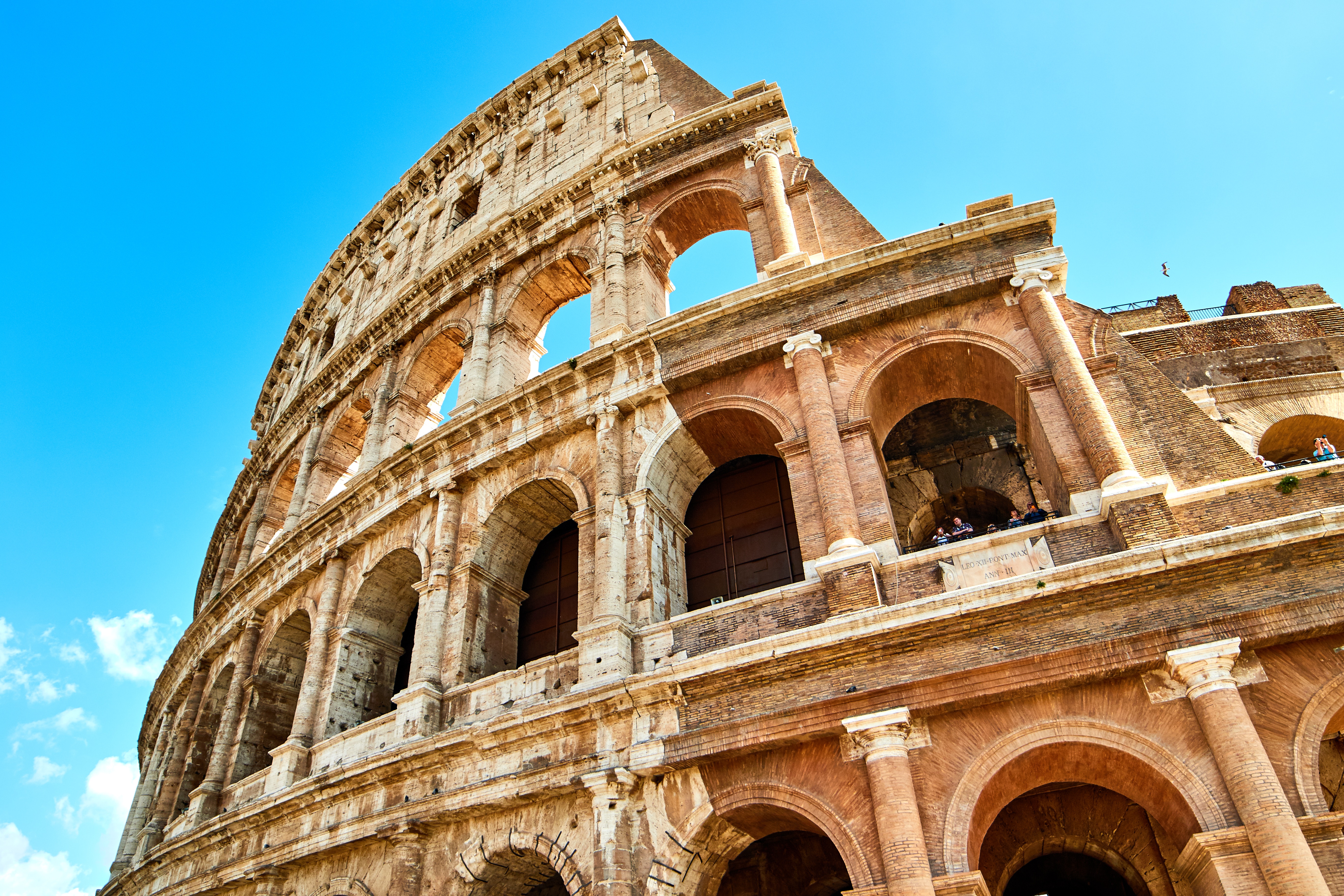
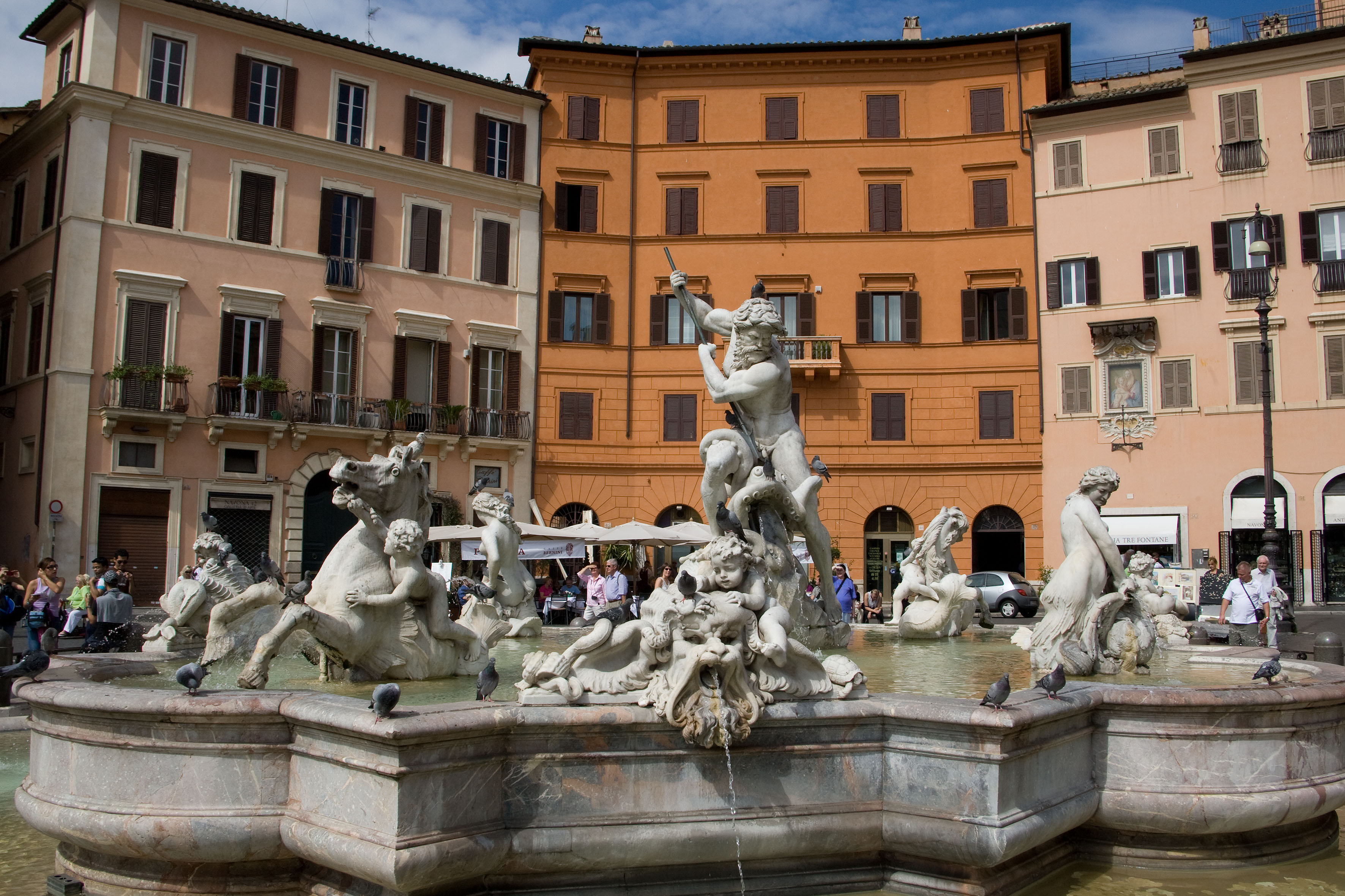
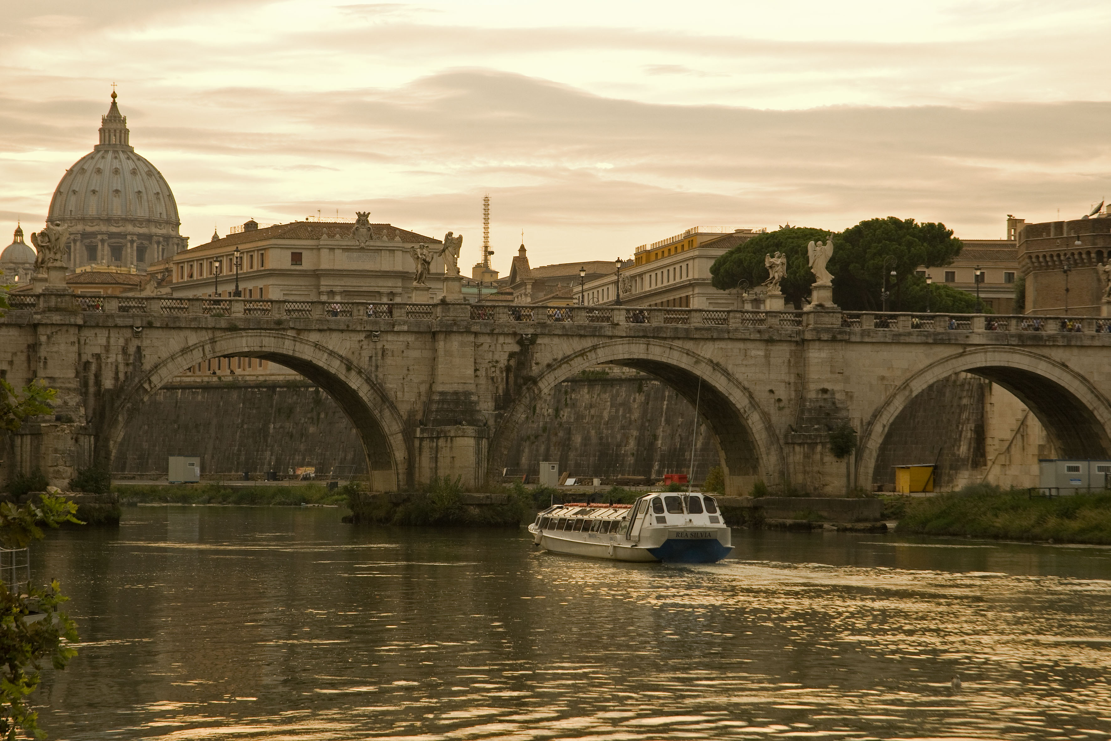
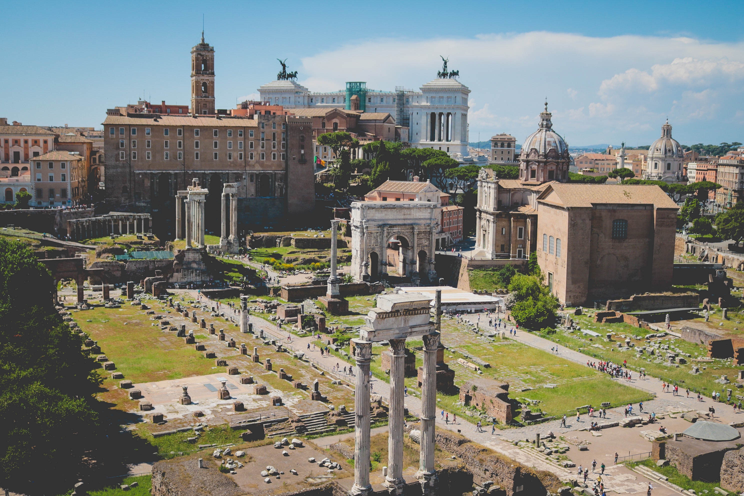
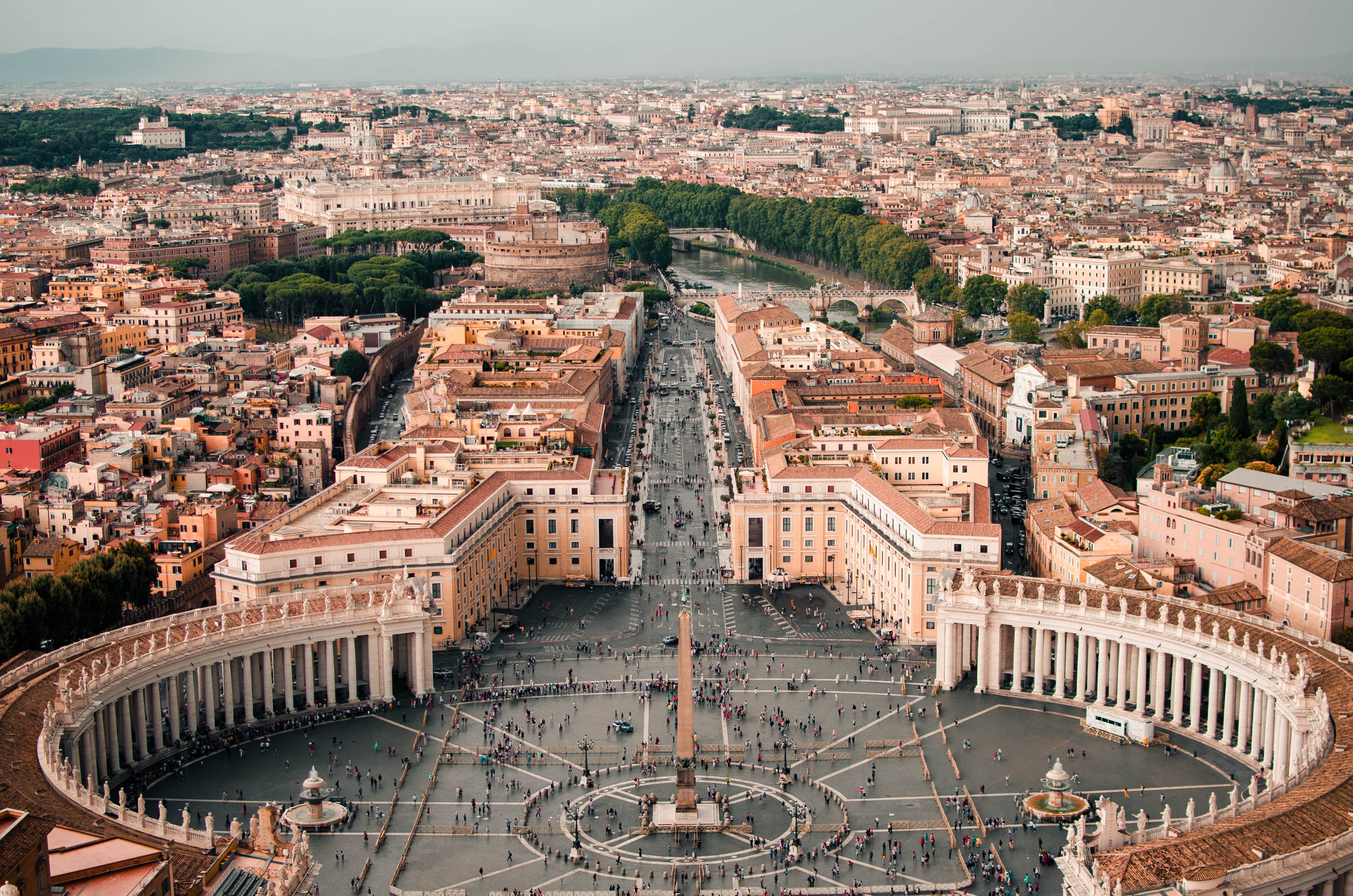
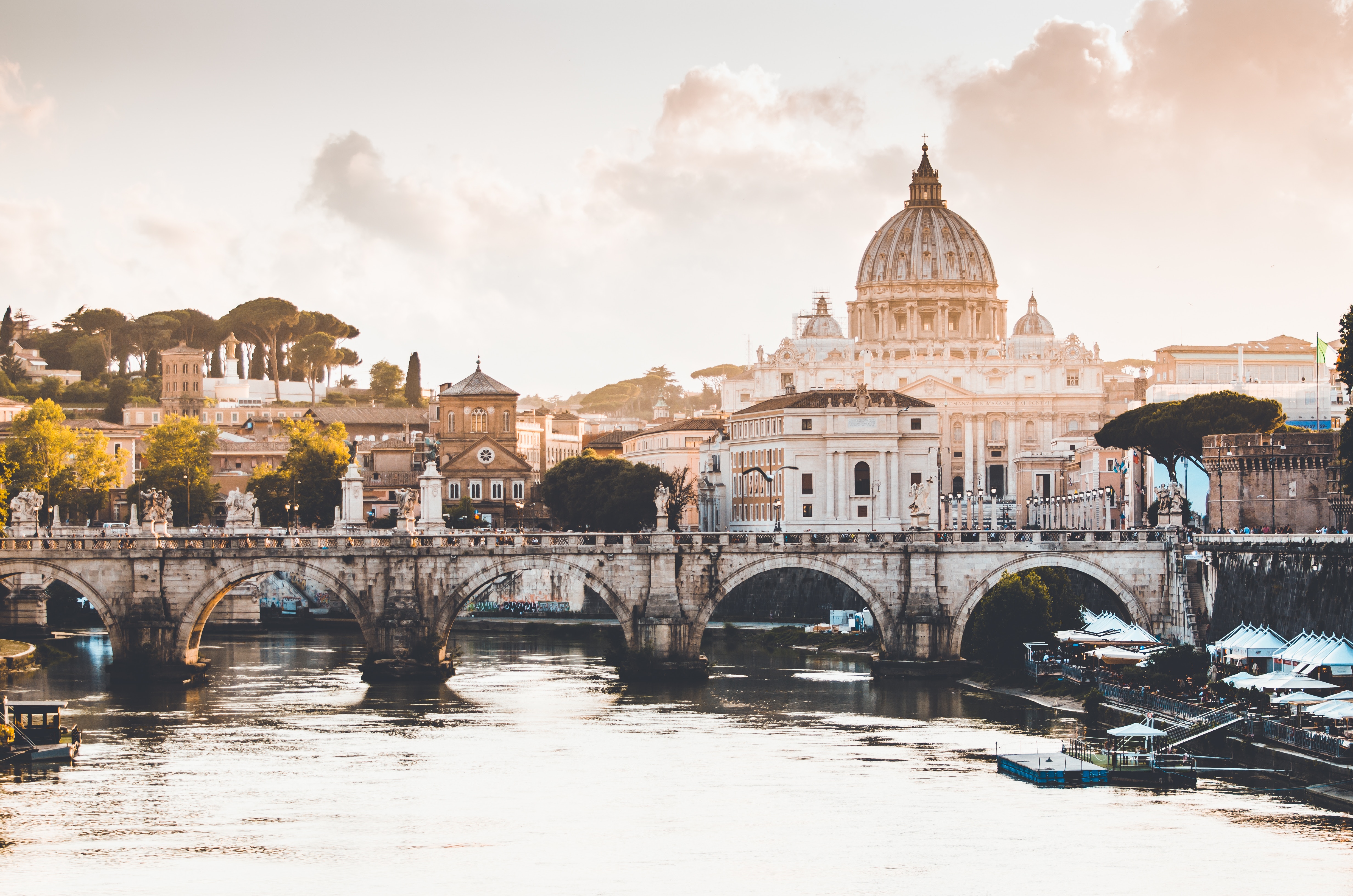


About Livorno
Livorno is a gritty city with a long and interesting history. In the early Middle Ages it alternately belonged to Pisa and Genoa. In 1421 Florence, seeking access to the sea, bought it. Cosimo I (1519–74) started construction of the harbor in 1571, putting Livorno on the map. After Ferdinando I de' Medici (1549–1609) proclaimed Livorno a free city, it became a haven for people suffering from religious persecution; Roman Catholics from England and Jews and Moors from Spain and Portugal, among others, settled here. The Quattro Mori (Four Moors), also known as the Monument to Ferdinando I, commemorates this. (The statue of Ferdinando I dates from 1595, the bronze Moors by Pietro Tacca from the 1620s.)In the following centuries, and particularly in the 18th, Livorno boomed as a port. In the 19th century the town drew a host of famous Britons passing through on their grand tours. Its prominence continued up to World War II, when it was heavily bombed. Much of the town's architecture, therefore, postdates the war, and it's somewhat difficult to imagine what it might have looked like before. Livorno has recovered from the war, however, as it's become a huge point of departure for container ships, as well as the only spot in Tuscany for cruise ships to dock for the day.Most of Livorno's artistic treasures date from the 17th century and aren't all that interesting unless you dote on obscure baroque artists. Livorno's most famous native artist, Amedeo Modigliani (1884–1920), was of much more recent vintage. Sadly, there's no notable work by him in his hometown.There may not be much in the way of art, but it's still worth strolling around the city. The Mercato Nuovo, which has been around since 1894, sells all sorts of fruits, vegetables, grains, meat, and fish. Outdoor markets nearby are also chock-full of local color. The presence of Camp Darby, an American military base just outside town, accounts for the availability of many American products.If you have time, Livorno is worth a stop for lunch or dinner at the very least.

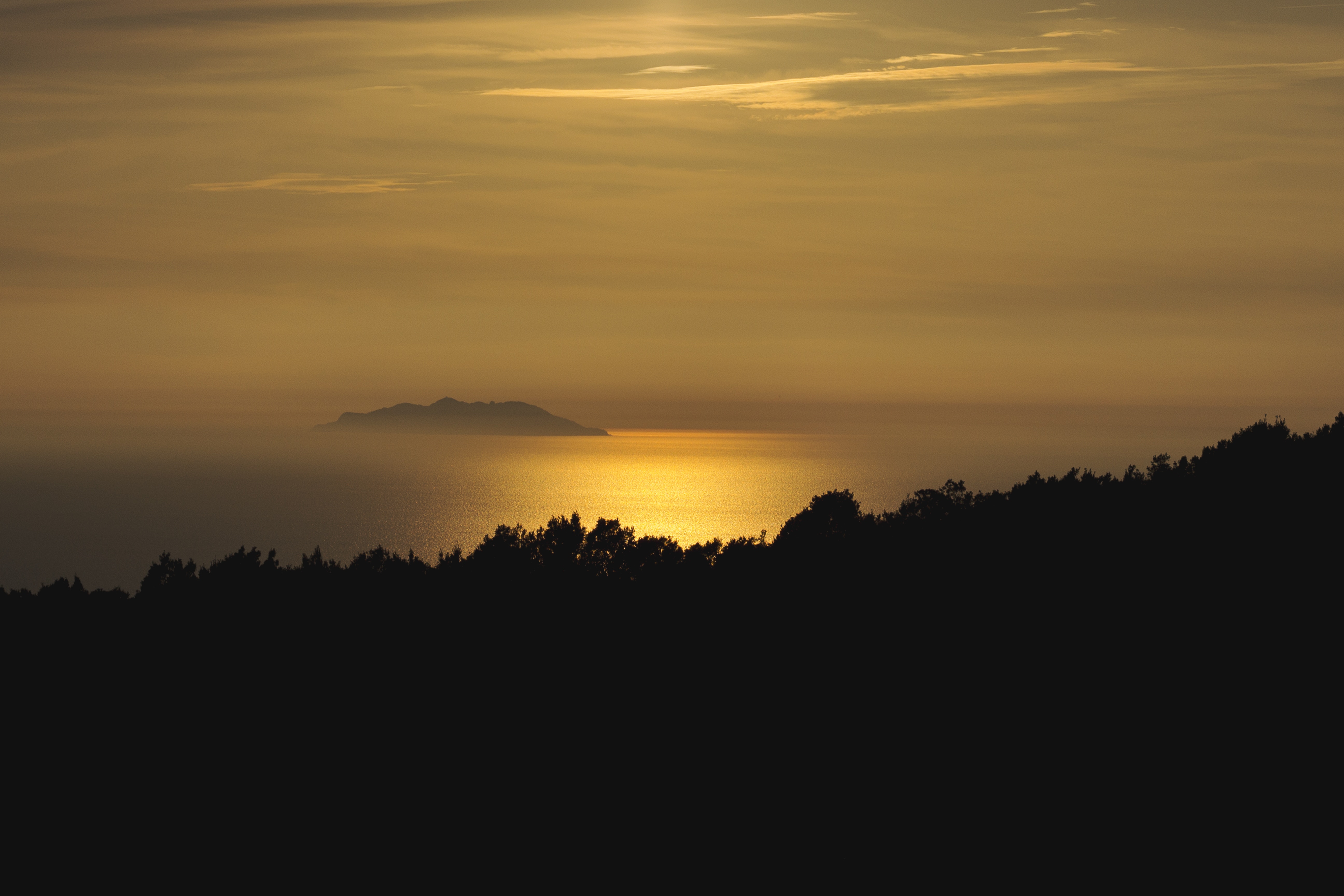
About Portofino
One of the most photographed villages along the coast, with a decidedly romantic and affluent aura, Portofino has long been a popular destination for the rich and famous. Once an ancient Roman colony and taken by the Republic of Genoa in 1229, it’s also been ruled by the French, English, Spanish, and Austrians, as well as by marauding bands of 16th-century pirates. Elite British tourists first flocked to the lush harbor in the mid-1800s. Some of Europe's wealthiest drop anchor in Portofino in summer, but they stay out of sight by day, appearing in the evening after buses and boats have carried off the day-trippers.There's not actually much to do in Portofino other than stroll around the wee harbor, see the castle, walk to Punta del Capo, browse at the pricey boutiques, and sip a coffee while people-watching. However, weaving through picture-perfect cliffside gardens and gazing at yachts framed by the sapphire Ligurian Sea and the cliffs of Santa Margherita can make for quite a relaxing afternoon. There are also several tame, photo-friendly hikes into the hills to nearby villages.Unless you're traveling on a deluxe budget, you may want to stay in Camogli or Santa Margherita Ligure rather than at one of Portofino's few very expensive hotels. Restaurants and cafés are good but also pricey (don't expect to have a beer here for much under €10).


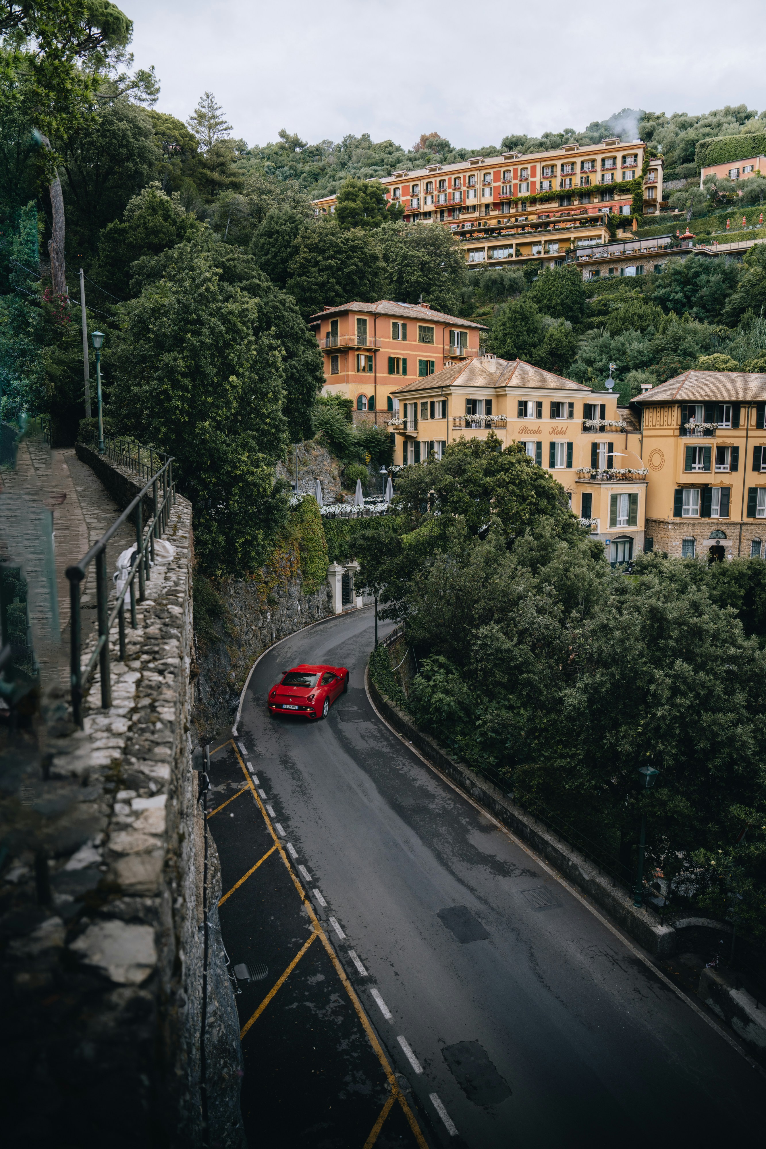
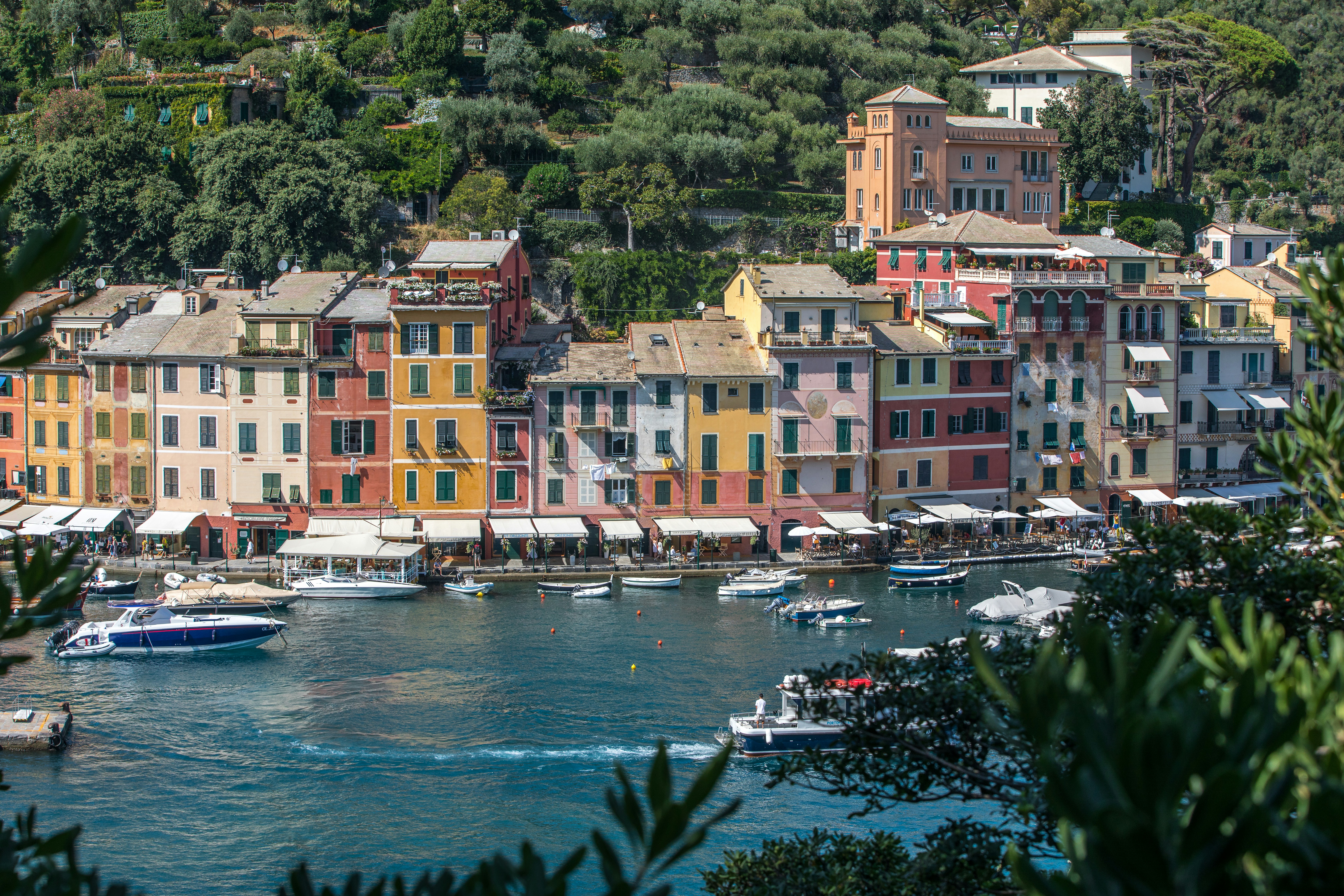
About Villefranche-sur-Mer
Villefranche-Sur-Mer is located on the Côte d’Azur in Provence – known for its fields of lavender and warm weather – and is highly appreciated for its 14th Century architecture.

About Barcelona
The infinite variety of street life, the nooks and crannies of the medieval Barri Gòtic, the ceramic tile and stained glass of Art Nouveau facades, the art and music, the throb of street life, the food (ah, the food!)—one way or another, Barcelona will find a way to get your full attention. The capital of Catalonia is a banquet for the senses, with its beguiling mix of ancient and modern architecture, tempting cafés and markets, and sun-drenched Mediterranean beaches. A stroll along La Rambla and through waterfront Barceloneta, as well as a tour of Gaudí's majestic Sagrada Famíliaand his other unique creations, are part of a visit to Spain's second-largest city. Modern art museums and chic shops call for attention, too. Barcelona's vibe stays lively well into the night, when you can linger over regional wine and cuisine at buzzing tapas bars.

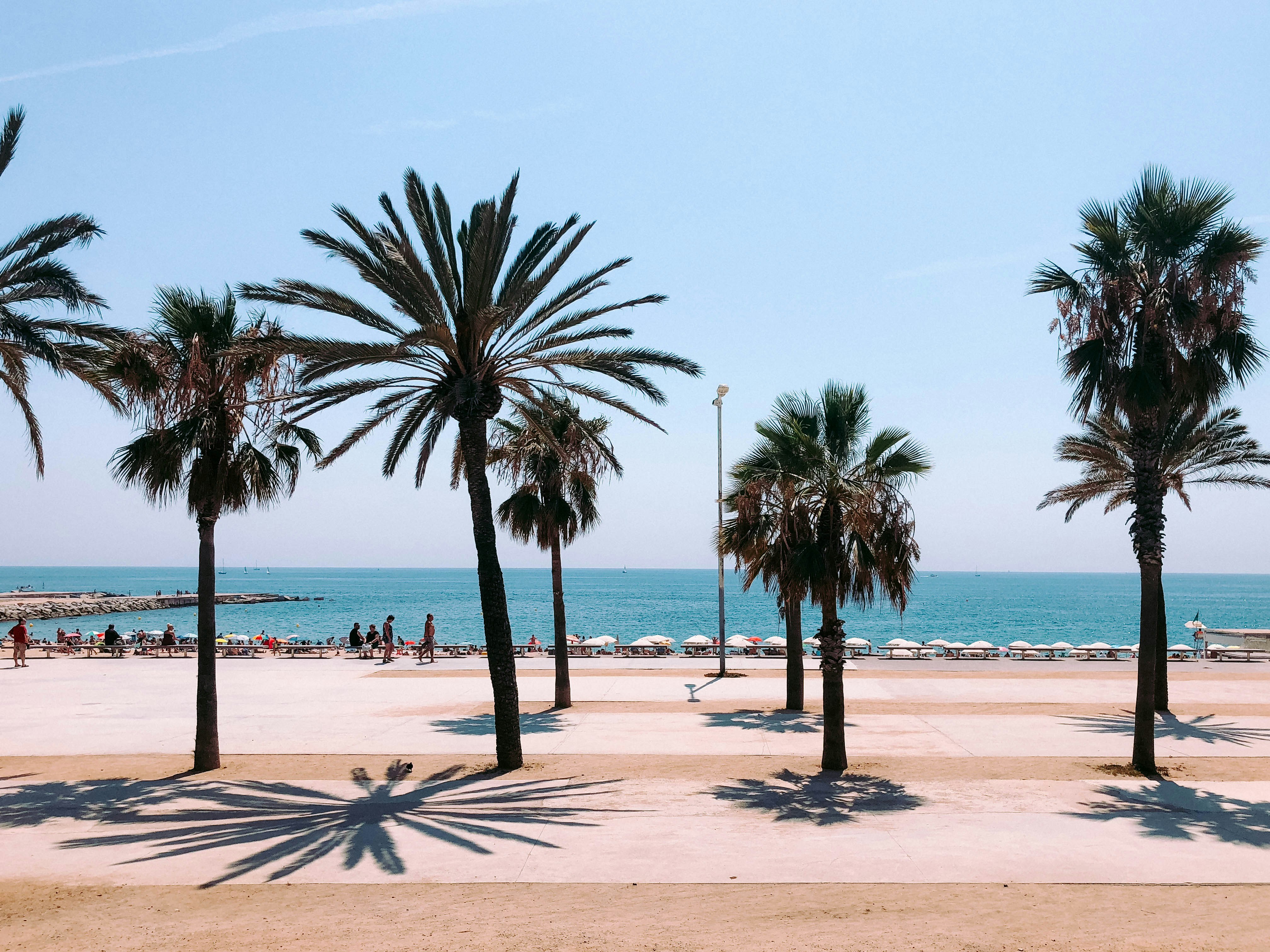
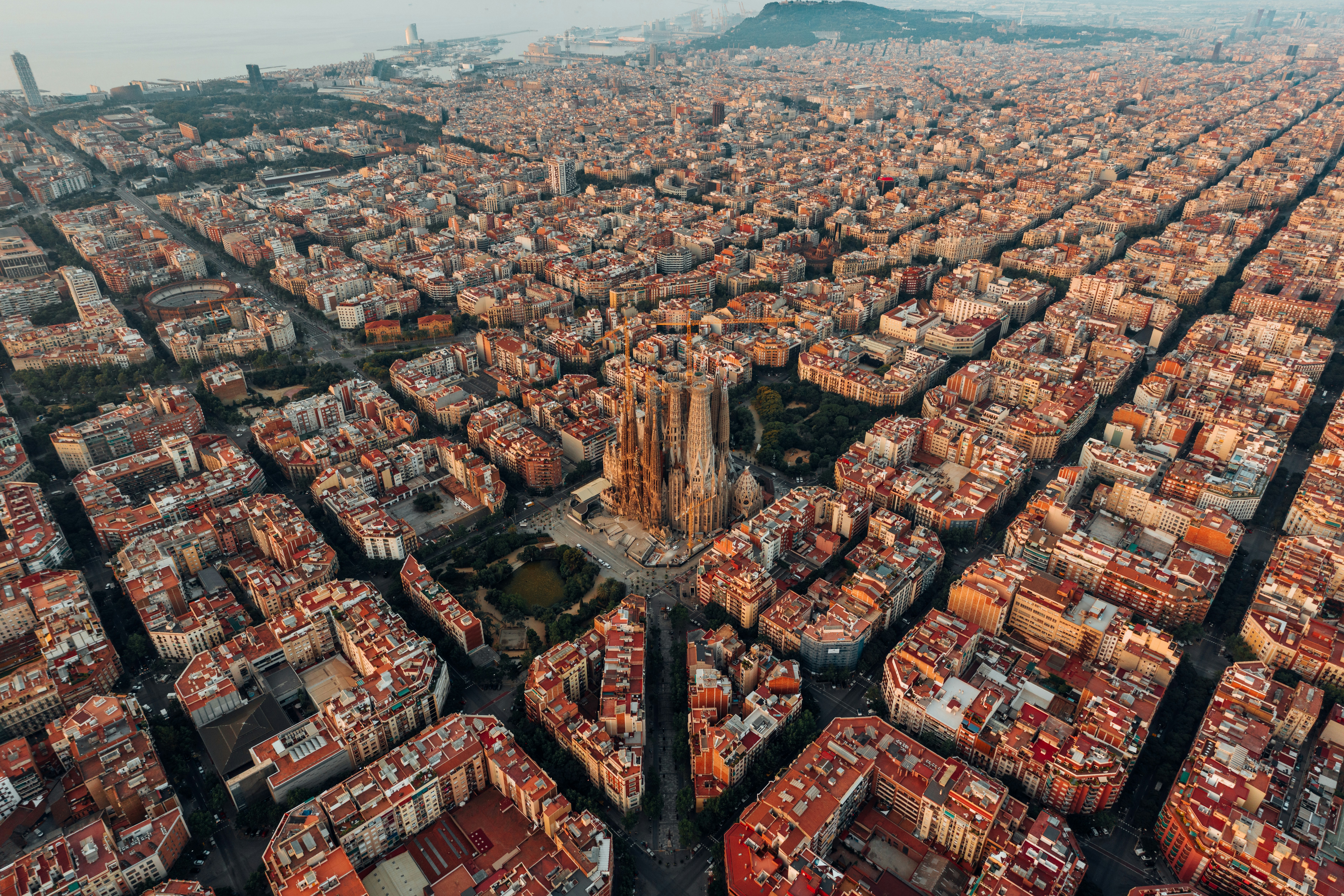
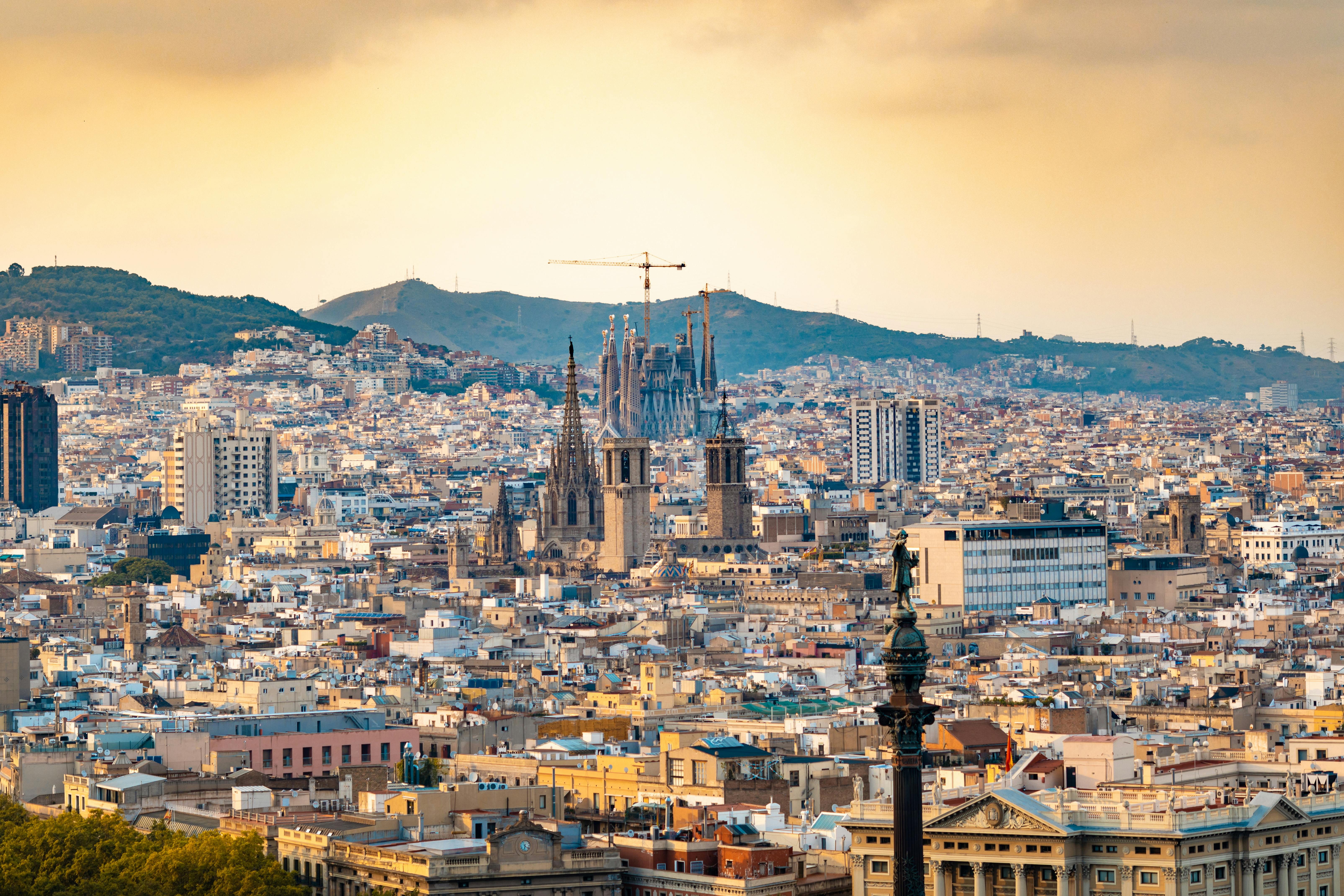
DETAILS
- Large private veranda and custom stone foyer floor
- Spacious living room
- Separate den with full-size sleeper sofa, TV, and closet plus separate dining area with ocean view and binoculars
- Two TV's
- Butler's pantry with refrigerator and espresso/cappuccino machine
- Large bedroom with queen-size bed or twins with sumptuous bedding
- Master bath featuring a television, Duravit spa flotation tub with ocean view, and state-of-the-art shower with customized shower direction and a heated bench, plus bidet
- Master walk-in custom closet with illuminated rods and custom shelving and security safe
- Sophisticated one-touch lighting and surround-sound system
SERVICES
- 24 hour in-suite dining
- Room service from Osteria D'Ovidio
- Unlimited dining in Osteria D'Ovidio
- Turndown service with handmade truffles
- Shoeshine service
- Assistance with packing and unpacking
- Free unlimited laundry and dry cleaning, 2nd day service
- In-suite cocktail parties
- Private transfer to and from ship up to 100 miles
- Butler or Concierge escort from terminal to suite on embarkation day
AMENITIES
- Welcome champagne
- Complimentary wine and spirits from set menu
- Complimentary soft drinks
- Flowers
- Fresh fruits, daily change, on request only
- Pillow menu (selection from a variety of pillow types)
- Afternoon canapés
- Nespresso coffee maker
- Binoculars
- Complimentary unlimited standard WiFi
- In-suite safe
- Interactive tablet for news, updates, and reservations
- Hair dryer
- Hair iron (available upon request)


DETAILS
- Private veranda
- Spacious living room
- Queen-size bed or twin beds with sumptuous bedding, and third berth
- Walk-in closet
- Two TV's
SERVICES
- 24 hour in-suite dining
- Shoeshine service
- Assistance with packing and unpacking
- Dry cleaning for five pieces plus one bag of free laundry every 10 cruise days, 2nd day service
- Free pressing (5pcs/day), 2nd day service
AMENITIES
- Welcome champagne
- Complimentary wine and spirits from set menu
- Complimentary soft drinks
- Flowers
- Fresh fruits, daily change, on request only
- Pillow menu (selection from a variety of pillow types)
- Afternoon canapés
- Nespresso coffee maker
- Binoculars
- Complimentary unlimited standard WiFi
- In-suite safe
- Interactive tablet for news, updates, and reservations
- Hair dryer
- Hair iron (available upon request)


DETAILS
- Private veranda
- Sizeable living area
- Queen-size bed or twin beds with sumptuous bedding
- Vanity in dressing area
- Walk-in closet
- TV
- Sophisticated one-touch lighting and surround-sound system
SERVICES
- 24 hour in-suite dining
- Turndown service
- Shoeshine service
- Assistance with packing and unpacking
AMENITIES
- Welcome champagne
- Complimentary wine and spirits from set menu
- Complimentary soft drinks
- Flowers
- Fresh fruits, daily change, on request only
- Pillow menu (selection from a variety of pillow types)
- Afternoon canapés
- Nespresso coffee maker
- Binoculars
- Complimentary unlimited standard WiFi
- In-suite safe
- Interactive tablet for news, updates, and reservations
- Hair dryer
- Hair iron (available upon request)


DETAILS
- Private veranda
- Spacious living area with sofa
- Queen-size bed or twin beds with sumptuous bedding
- Walk-in shower
- TV
SERVICES
- 24 hour in-suite dining
- Turndown service
- Shoeshine service
- Assistance with packing and unpacking
AMENITIES
- Welcome champagne
- Complimentary wine and spirits from set menu
- Complimentary soft drinks
- Fresh fruits, daily change, on request only
- Pillow menu (selection from a variety of pillow types)
- Complimentary unlimited standard WiFi
- In-suite safe
- Interactive tablet for news, updates, and reservations
- Hair dryer
- Hair iron (available upon request)


DETAILS
- Large picture window
- Sizeable living area with sofa
- Queen-size bed or twin beds with sumptuous bedding
- Walk-in shower
- TV
SERVICES
- 24 hour in-suite dining
- Turndown service
- Shoeshine service
- Assistance with packing and unpacking
AMENITIES
- Welcome champagne
- Complimentary wine and spirits from set menu
- Complimentary soft drinks
- Fresh fruits, daily change, on request only
- Pillow menu (selection from a variety of pillow types)
- Complimentary unlimited standard WiFi
- In-suite safe
- Interactive tablet for news, updates, and reservations
- Hair dryer
- Hair iron (available upon request)

Crystal Serenity
With an industry-leading space to guest ratio across an array of social areas, Crystal Serenity offers the utmost comfort, quality, personalisation and choice.

Ship Facts
| Speed | 22 | ||||||||
| Width | 32 | ||||||||
| Length | 250 | ||||||||
| Capacity | 740 | ||||||||
| Currency | USD | ||||||||
| Language | en-US | ||||||||
| Crew Count | 600 | ||||||||
| Deck Count | 9 | ||||||||
| Refit Year | 2018 | ||||||||
| Cabin Count | 545 | ||||||||
| Launch Year | 2003 | ||||||||
| Gross Tonnage | 68870 | ||||||||
| Electrical Plugs |
|
||||||||
| Large Cabin Count | 0 | ||||||||
| Wheelchair Cabin Count | 8 |
Deck 13
- Glass Roof
- Forward Observation Deck
- Crystal Life Fitness
- Crystal Life Spa & Salon
- Wimbledon Court

Deck 12
- Marketplace
- Tastes Kitchen & Bar
- Wave's & Fantasia
- Seahorse Pool
- Palm Court
- Scoops Ice Cream Bar
- Trident Grill

Deck 11
- Crystal Penthouse Suite
- Sapphire Veranda Suite
- Aquamarine Veranda Suite
- Self-Service Laundry

Deck 10
Sapphire Veranda Suite
- Double Guest Room with Veranda
- Aquamarine Veranda Suite
- Self-Service Laundry

Deck 9
Junior Crystal Penthouse Suite
- Sapphire Veranda Suite
- Double Guest Room with Veranda
- Aquamarine Veranda Suite
- Self-Service Laundry

Deck 8
- Junior Crystal Penthouse Suite
- Sapphire Veranda Suite
- Double Guest Room with Veranda
- Shuffleboard Courts
- Self-Service Laundry

Deck 7
- Double Guest Room with Ocean View
- Single Guest Room with Ocean View
- Uma Uma by Nobu Matsuhisa Restaurant and Sushi Bar
- Bridge Lounge
- The Vintage Room
- Library
- Osteria D'Ovidio
- Computer University@Sea
- The Studio
- Self-Service Laundry

Deck 6
- Apropos & Facets Onboard Shopping
- Avenue Saloon
- Connoisseur Club
- Crystal Images
- Golf Driving Nets
- Pulse Night Club
- Stardust Club and Supper Club
- Table Tennis
- Putting Green
- Hollywood Theatre
- Galaxy Lounge
- Crystal Collection
- The Bistro
- Atrium

Deck 5
- Medical Center
- Concierge Desk
- Crystal Cove
- Future Sales Consultant
- Reception
- Shore Excursion Desk
- Crystal Plaza
- Waterside Restaurant

Our award-winning cuisine is created and influenced by pioneers in the global food scene, with nine distinct complimentary venues to choose from. Open seating with extensive dining options are tailored around the personal preferences of our guests, allowing them to choose exactly what they want at a time that works for them. Whether that be a late breakfast, six-course wine pairing lunch, or dinner in our exclusive Osteria d’Ovidio or Umi Uma.
All inclusive – however its one complimentary reservation in each specialty restaurant (Umi Uma and Osteria) is included on sailings of 11 days or less, two reservations on sailings between 12 and 22 days, three reservations on sailings 23 days or more, and unlimited reservations for all full World Cruise guests”. However guests can pay to dine outside of their allowance at £50 pp which is great value for these 2 specialist restaurants
Waterside Restaurant
The main dining room, features open seating as well as tables for two and four guests. Open for breakfast, lunch, and dinner. No reservations are required.
Umi Uma by Nobu Matsuhisa Restaurant and Sushi Bar
Created by legendary Master Chef Nobuyki (Nobu) Matusuhisa, Umi Uma is an innovative Japanese-Peruvian restaurant inspired by the rich culture of Japanese cuisine and Peruvian ingredients. Reservations required and limited per sailing
All inclusive – however its one complimentary reservation in each specialty restaurant (Umi Uma and Osteria) is included on sailings of 11 days or less, two reservations on sailings between 12 and 22 days, three reservations on sailings 23 days or more, and unlimited reservations for all full World Cruise guests”. However guests can pay to dine outside of their allowance at £50 pp which is great value for these 2 specialist restaurants
Osteria D'Ovidio
Fine Italian cuisine, featuring original menus and dishes created by talented Crystal chefs. Reservations required and limited per sailing.
All inclusive – however its one complimentary reservation in each specialty restaurant (Umi Uma and Osteria) is included on sailings of 11 days or less, two reservations on sailings between 12 and 22 days, three reservations on sailings 23 days or more, and unlimited reservations for all full World Cruise guests”. However guests can pay to dine outside of their allowance at £50 pp which is great value for these 2 specialist restaurants
The Bistro
Parisian-inspired café and coffee bar with light snacks such as fresh pastries, bagels and fruit in the morning and a selection of international cheeses, pâtés, prosciutto, smoked salmon and dessert delicacies through late afternoon.
The Vintage Room
The Vintage Room offers guided pairings and dinners highlighting the vast selection of wines in the ship’s onboard cellar. This intimate, innovative concept offers guests an education in fine wine and cuisine, allowing them to gain privileged insights into the art of enology. In addition to daytime tastings and discussions, guests may enjoy a variety of private wine-themed lunches and dinners by special arrangement with the Head Sommelier.
Trident Grill
Our pool restaurant featuring favorite classics such as Burgers, melts, salads and quick snacks for an indulgent poolside snack.
Tastes Kitchen & Bar
Globally inspired cuisine, and casual dining, Tastes offers tapas-style cuisine inspired by regional itinerary. The venue encourages a "family-style" experience for guests to enjoy on their own or with newfound friends. Open seating.
Scoops Ice Cream Bar
A sumptuous ice cream bar featuring fresh toppings and homemade cookies, with frozen yoghurt accompanying classics from Ben & Jerry’s.
Marketplace
Buffet style dining wrapped in floor to ceiling windows and a chic open air dining area. This venue offers breakfast and lunch with a variety of choices from appetizers to desserts. Itinerary driven food selections keep the menu’s fresh, while carving stations and individual a la minute cooking add a dynamic element. Open seating.
24 Hours In-Suite Dining
Dine in the comfort of your own suite, 24 hours a day. Savor the extensive selection of delicious dishes from Waterside’s menu. Guests staying in the Crystal Penthouse can also enjoy in-suite dining from our specialty restaurants, during opening hours.Service includes afternoon snacks and our Connoisseur Caviar Menu, for a epicurean treat (for an additional charge).
Tea Time
Our two elegant vessels host an equally exceptional offering including world-renowned restaurants, restorative spas and endless opportunity for inspiration and enrichment, tied together by unparalleled personal service.
Crystal Cove
Reception & Atrium
The Reception can be found on Deck 5.
Palm Court
Library
Seahorse Pool
Pulse Night Club
An intimate lounge for a late-night drink, dancing or a place to let loose with karaoke.
Apropos & Facets Onboard Shopping
Stardust Club and Supper Club
Galaxy Lounge
Hollywood Theatre
Connoisseur Club
Computer University@Sea
Observation Deck
More information coming soon.
Crystal Plaza
Crystal Plaza can be found on Deck 5.
Avenue Saloon
Bridge Lounge
The Bridge Lounge can be found on Deck 7.
Casino De Monte-Carlo
Live the high life at our glamorous new casino, a unique collaboration between Crystal and the world leader in luxury gaming, Monte-Carlo Société des Bains de Mer.