
Seychelles Island hopping
Seychelles Island hopping
Cruise overview
WHY BOOK WITH US?
- ✔ The Deluxe Cruises’ team has extensive experience in ultra-luxury cruising.
- ✔ Call now to speak to our helpful and experienced Cruise Concierge team.
- ✔ Enjoy our Unique Deluxe Cruises Bonus for substantial savings.
- ✔ Our team will tailor your holiday to your exacting requirements.
- ✔ As agents, we work under the protection of each cruise lines ABTA / ATOL licences
About Mahé
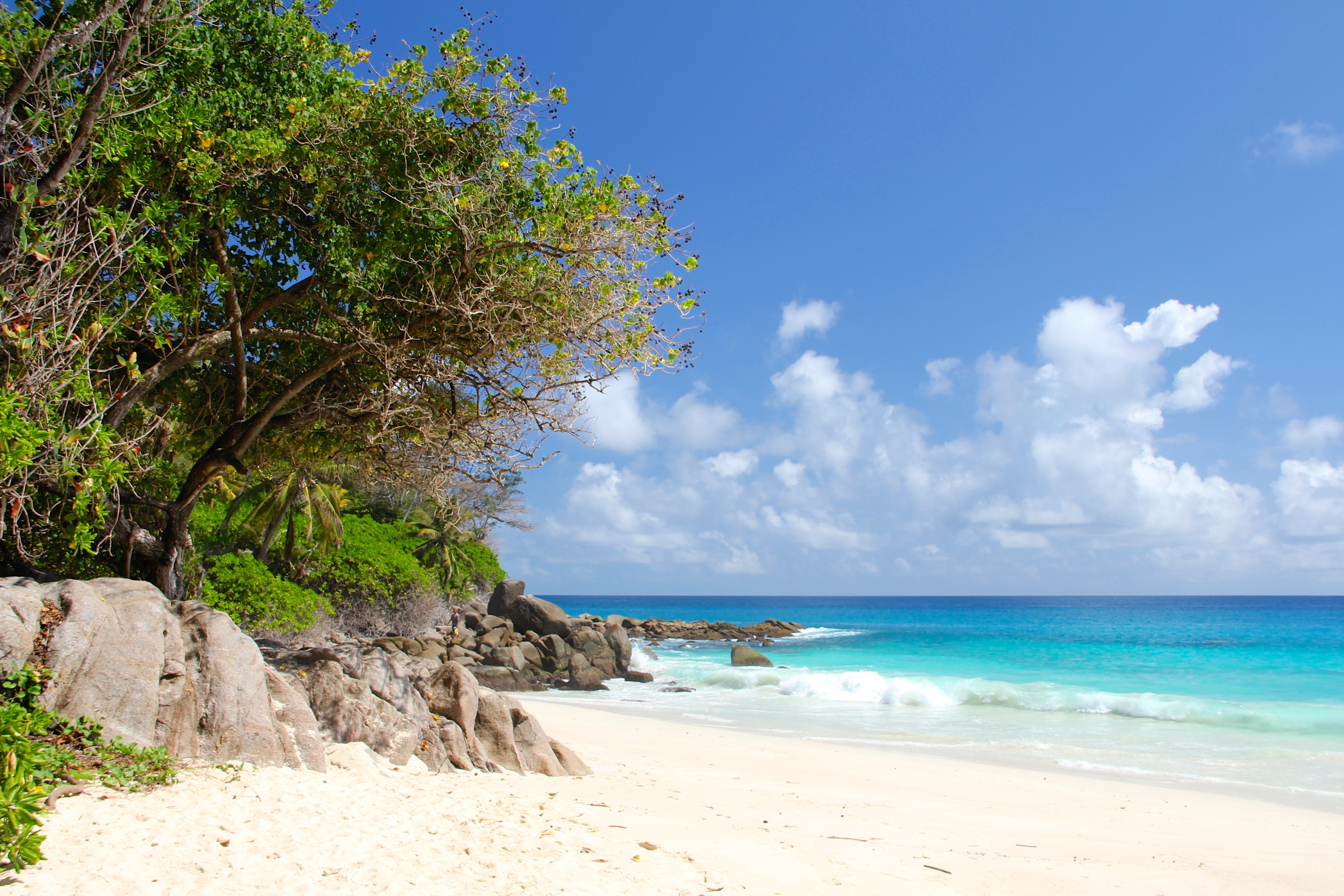
Like jade-coloured jewels in the Indian Ocean, the more than 100 Seychelles Islands are often regarded as the Garden of Eden. Lying just four degrees south of the equator, the Seychelles are some 1,000 miles (1,610 km) from the nearest mainland Africa. Little more than 200 years ago, all 115 islands were uninhabited. Then in 1742 a French ship dispatched from Mauritius sailed into one of the small bays. Captain Lazare Picault was the first to explore these unnamed islands. He encountered breathtaking vistas of rugged mountains, lagoons, coral atolls, splendid beaches and secluded coves. After Picault sailed away, the islands remained untouched for the next 14 years. Then France took possession of the seven islands in the Mahé group. During an expedition Captain Morphey named them the Sechelles, in honour of Vicomte Moreau de Sechelles. This name was later anglicised to Seychelles. The first settlers arrived at St. Anne’s Island in 1770; 15 years later the population of Mahé consisted of seven Europeans and 123 slaves. Today there are about 80,000 Seychellois, the majority of whom live on Mahé; the rest are scattered in small communities throughout the archipelago. The people are a fusion of three continents - Africa, Asia and Europe. This has created a unique culture and the use of three languages - Creole, French and English. Mahé is the largest island in the archipelago and the location of the capital, Victoria. Ringed by steep, magnificent mountains, few capitals can claim a more beautiful backdrop. The town features a mixture of modern and indigenous architecture; it is the centre of business and commerce thanks to the extensive port facilities. Noteworthy sites in Victoria are the museum, cathedral, government house, clock tower, botanical gardens and an open-air market. The major attractions are found outside of town where the island’s quiet, lazy atmosphere delights visitors. With 68 pristine, white sand beaches, Mahé boasts more beaches and tourist facilities than any of the other Seychelles Islands. Beautiful and remote Mahé with its green-clad mountains and palm-fringed beaches is indeed an island of abundance; pleasant surprises are around every bend in the trail. Come ashore and discover for yourself this marvellous island paradise.


About Saint Anne, Alderney Island


About Saint Anne, Alderney Island


About Therese Island
About Therese Island
About Praslin Island
Forty kilometers (25 miles) northeast of Mahé, Praslin is just a 15-minute flight or 45-minute ferry ride away. Praslin, at 11 km (7 miles) long and 4 km (2.5 miles) wide, is the second-largest island in the Seychelles. First settled as a hideaway by pirates and Arab merchants, the island's original name, Isle de Palmes, bears testament to its reputation as home of the Vallée de Mai UNESCO World Heritage Site: the only place in the world where the famous Coco de Mer, the world's heaviest nut, grows abundantly in the wild. Praslin's endemic palm forests shelter many rare species, and the island is a major bird-watching destination. Surrounded by a coral reef, majestic bays, and gorgeous beaches, Praslin is much quieter and less developed than Mahé. With few real "sights," the pleasures of Praslin largely involve relaxing in or exploring its stunning beaches and fantastical forests.
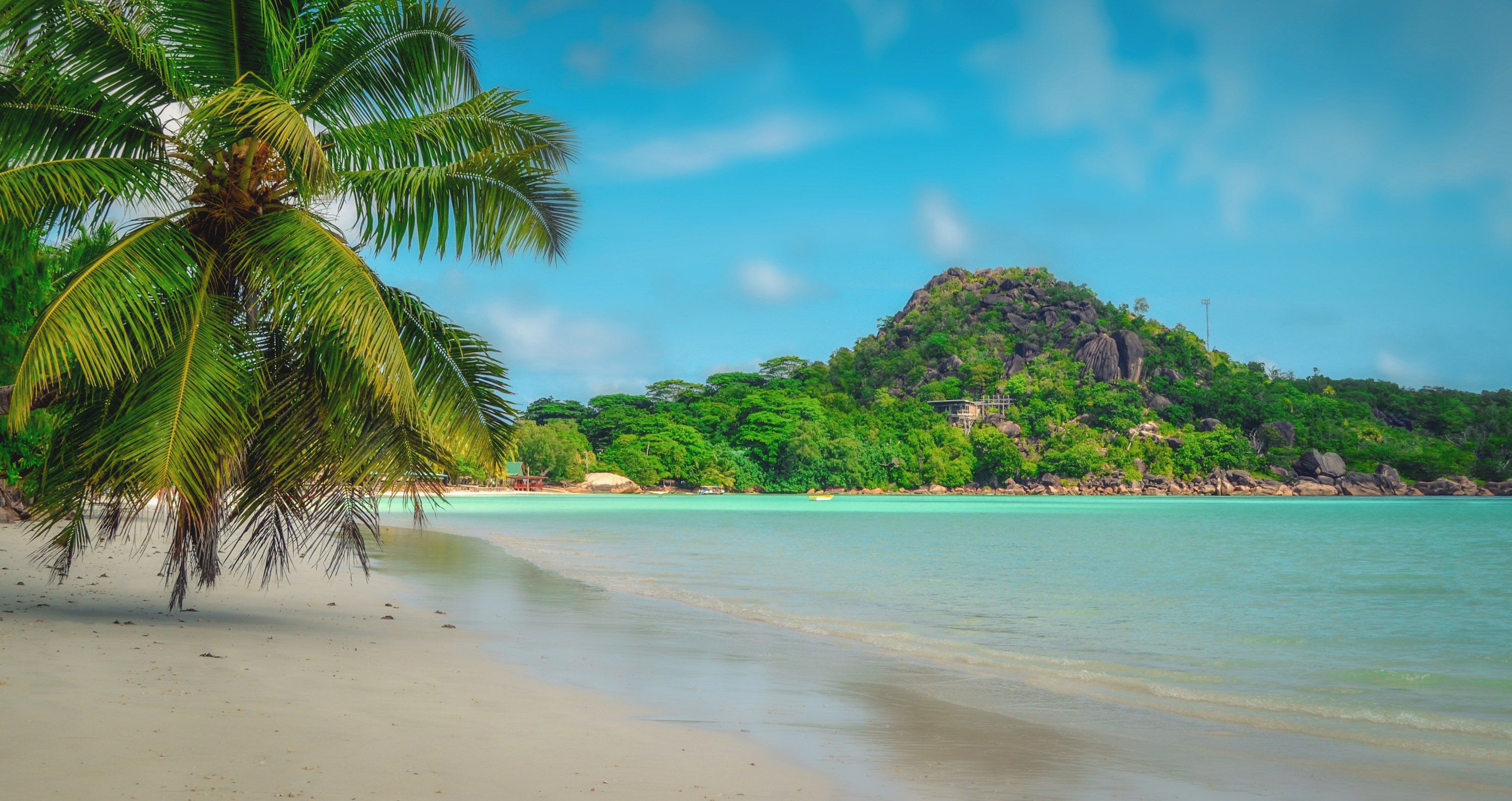
About Cousin Island
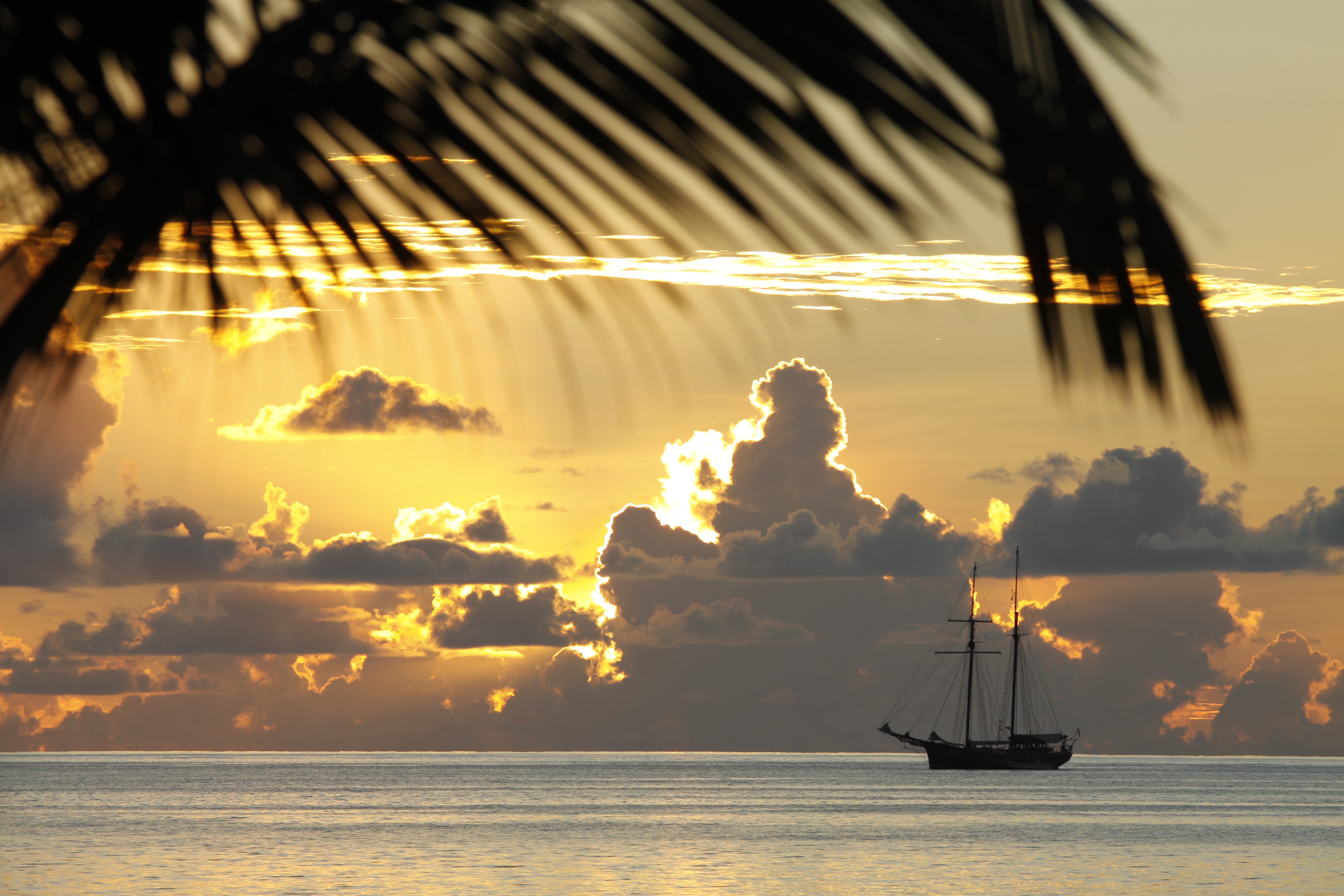
About Praslin Island
Forty kilometers (25 miles) northeast of Mahé, Praslin is just a 15-minute flight or 45-minute ferry ride away. Praslin, at 11 km (7 miles) long and 4 km (2.5 miles) wide, is the second-largest island in the Seychelles. First settled as a hideaway by pirates and Arab merchants, the island's original name, Isle de Palmes, bears testament to its reputation as home of the Vallée de Mai UNESCO World Heritage Site: the only place in the world where the famous Coco de Mer, the world's heaviest nut, grows abundantly in the wild. Praslin's endemic palm forests shelter many rare species, and the island is a major bird-watching destination. Surrounded by a coral reef, majestic bays, and gorgeous beaches, Praslin is much quieter and less developed than Mahé. With few real "sights," the pleasures of Praslin largely involve relaxing in or exploring its stunning beaches and fantastical forests.

About La Digue
La Digue Island is an island like no other. It is the smallest of the three populated islands in the Seychelles, but the tranquillity will make it feel like you’re the only one there.
The stunning surroundings should be soaked up from cycling through the vanilla plantations to lying on the white-sandy beaches, your time on La Digue should be cherished.
There is a little more to do on La Digue compared to the smaller, uninhabited islands where you can enjoy full moon tours, surfing and snorkelling with a local.
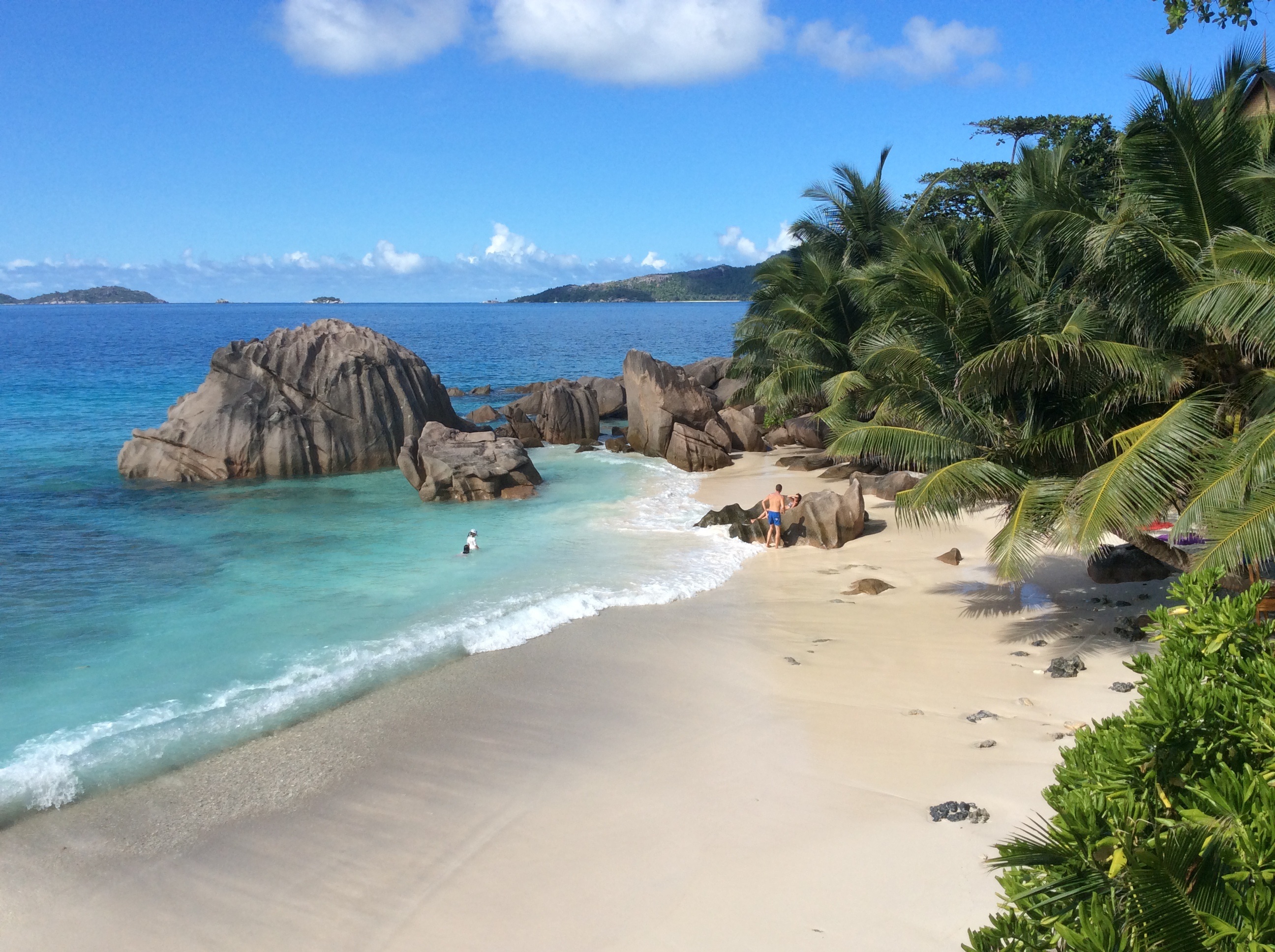

About Curieuse Island
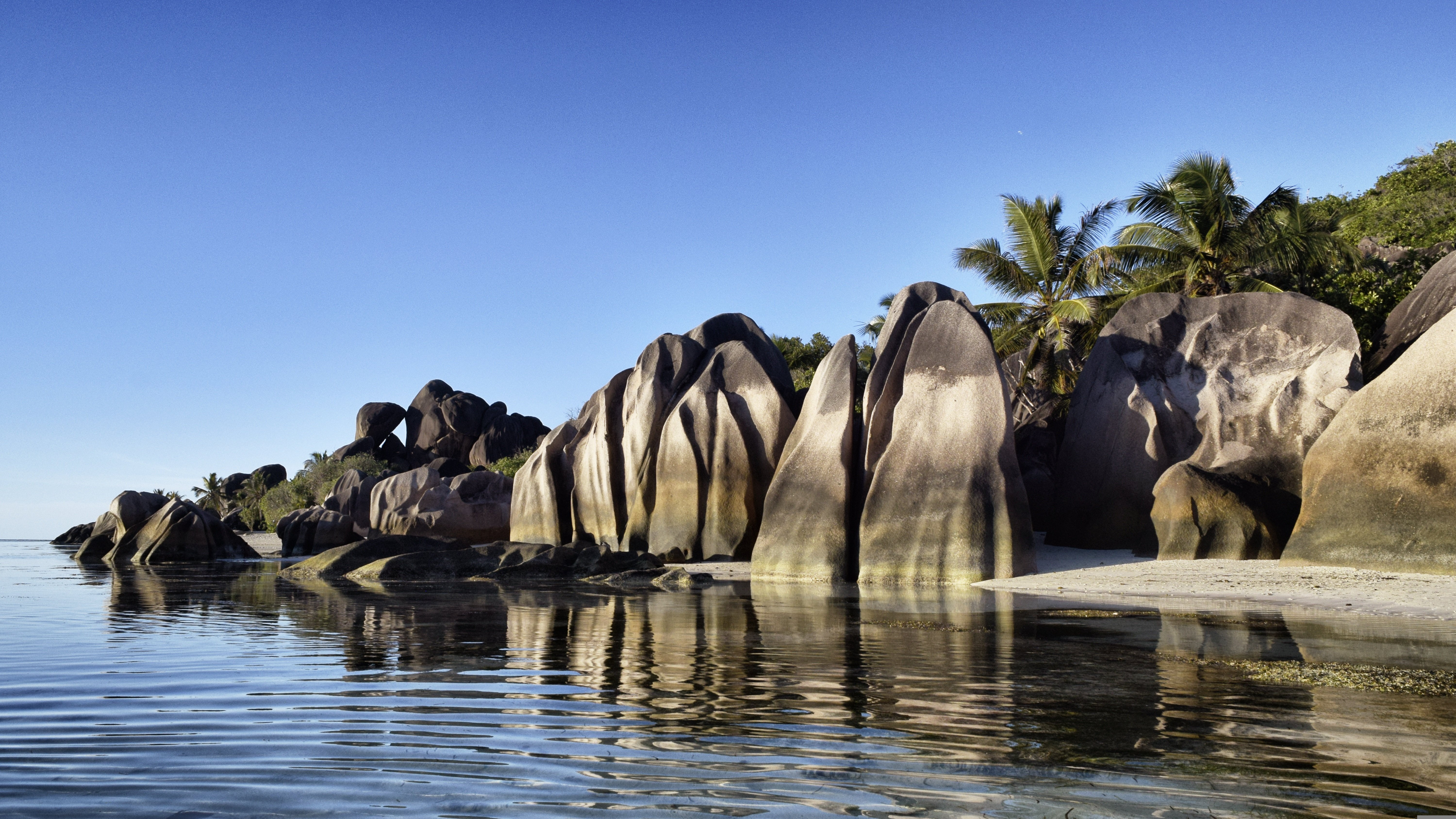
About Curieuse Island

About Curieuse Island

About Aride Island
About Mahé
Like jade-coloured jewels in the Indian Ocean, the more than 100 Seychelles Islands are often regarded as the Garden of Eden. Lying just four degrees south of the equator, the Seychelles are some 1,000 miles (1,610 km) from the nearest mainland Africa. Little more than 200 years ago, all 115 islands were uninhabited. Then in 1742 a French ship dispatched from Mauritius sailed into one of the small bays. Captain Lazare Picault was the first to explore these unnamed islands. He encountered breathtaking vistas of rugged mountains, lagoons, coral atolls, splendid beaches and secluded coves. After Picault sailed away, the islands remained untouched for the next 14 years. Then France took possession of the seven islands in the Mahé group. During an expedition Captain Morphey named them the Sechelles, in honour of Vicomte Moreau de Sechelles. This name was later anglicised to Seychelles. The first settlers arrived at St. Anne’s Island in 1770; 15 years later the population of Mahé consisted of seven Europeans and 123 slaves. Today there are about 80,000 Seychellois, the majority of whom live on Mahé; the rest are scattered in small communities throughout the archipelago. The people are a fusion of three continents - Africa, Asia and Europe. This has created a unique culture and the use of three languages - Creole, French and English. Mahé is the largest island in the archipelago and the location of the capital, Victoria. Ringed by steep, magnificent mountains, few capitals can claim a more beautiful backdrop. The town features a mixture of modern and indigenous architecture; it is the centre of business and commerce thanks to the extensive port facilities. Noteworthy sites in Victoria are the museum, cathedral, government house, clock tower, botanical gardens and an open-air market. The major attractions are found outside of town where the island’s quiet, lazy atmosphere delights visitors. With 68 pristine, white sand beaches, Mahé boasts more beaches and tourist facilities than any of the other Seychelles Islands. Beautiful and remote Mahé with its green-clad mountains and palm-fringed beaches is indeed an island of abundance; pleasant surprises are around every bend in the trail. Come ashore and discover for yourself this marvellous island paradise.


Our oversized Owner’s Suites are the largest and most opulent, located on the Pool Deck. Boasting a separate bedroom and lounge area, you’ll also enjoy your large private terrace, from which to admire the stunning views of each port you visit.
- Your own private terrace
- Separate bedroom and lounge area
- Walk-in wardrobe
- Queen-size or twin hotel-style beds with the finest Egyptian cotton linen
- Pillow menu
- Bathroom with shower, indulgent toiletries and hairdryer
- Complimentary bathrobes and slippers
- Welcome bottle of champagne
- Fruit platter on arrival
- Pre-dinner canapés
- After-dinner sweets
- Full mini-bar, restocked daily
- Complimentary water, restocked daily
- Flat screen HDTV and infotainment system
- Complimentary Wi-Fi
- Individual climate control
- Coffee and tea-making facilities
- Four laundered items daily
- Personal safe
- Umbrella
- Telephone
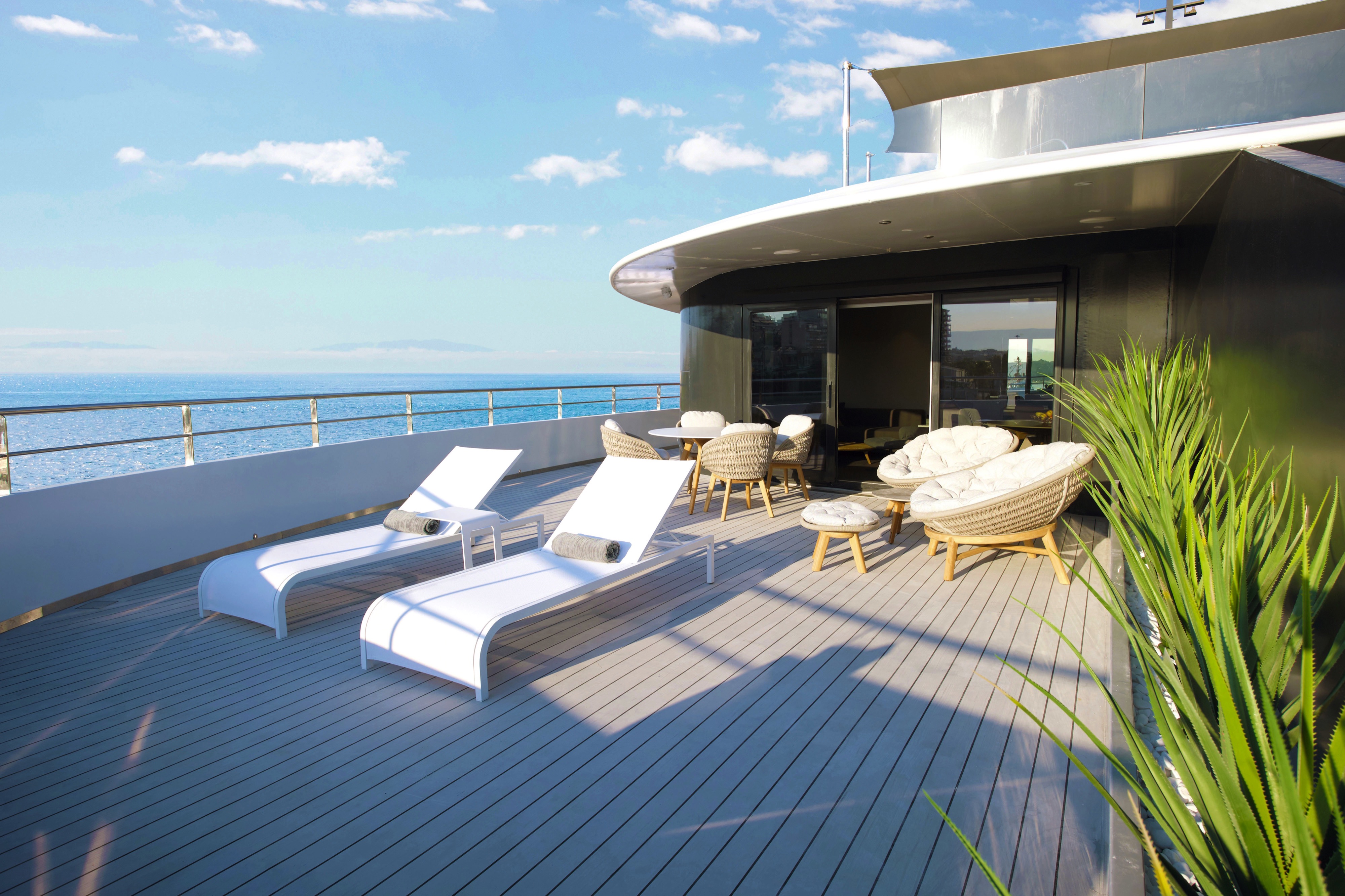
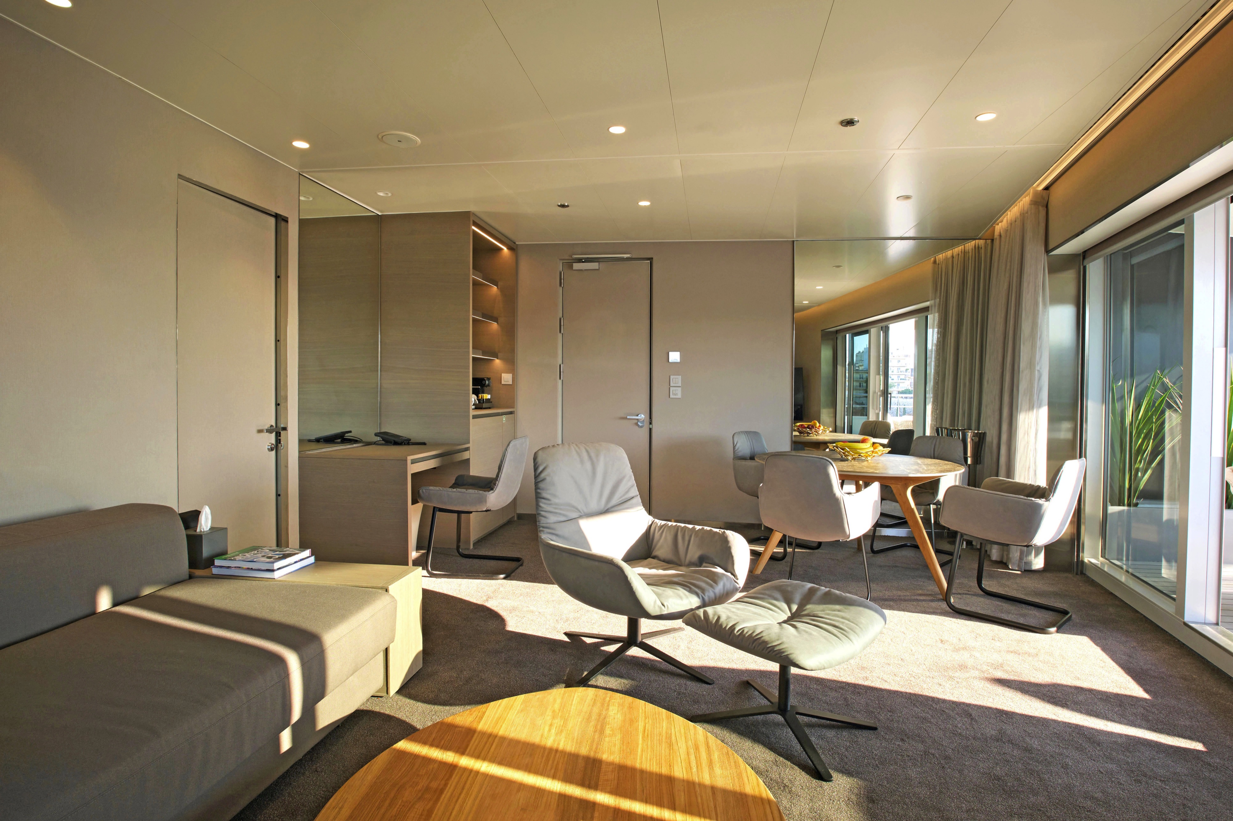
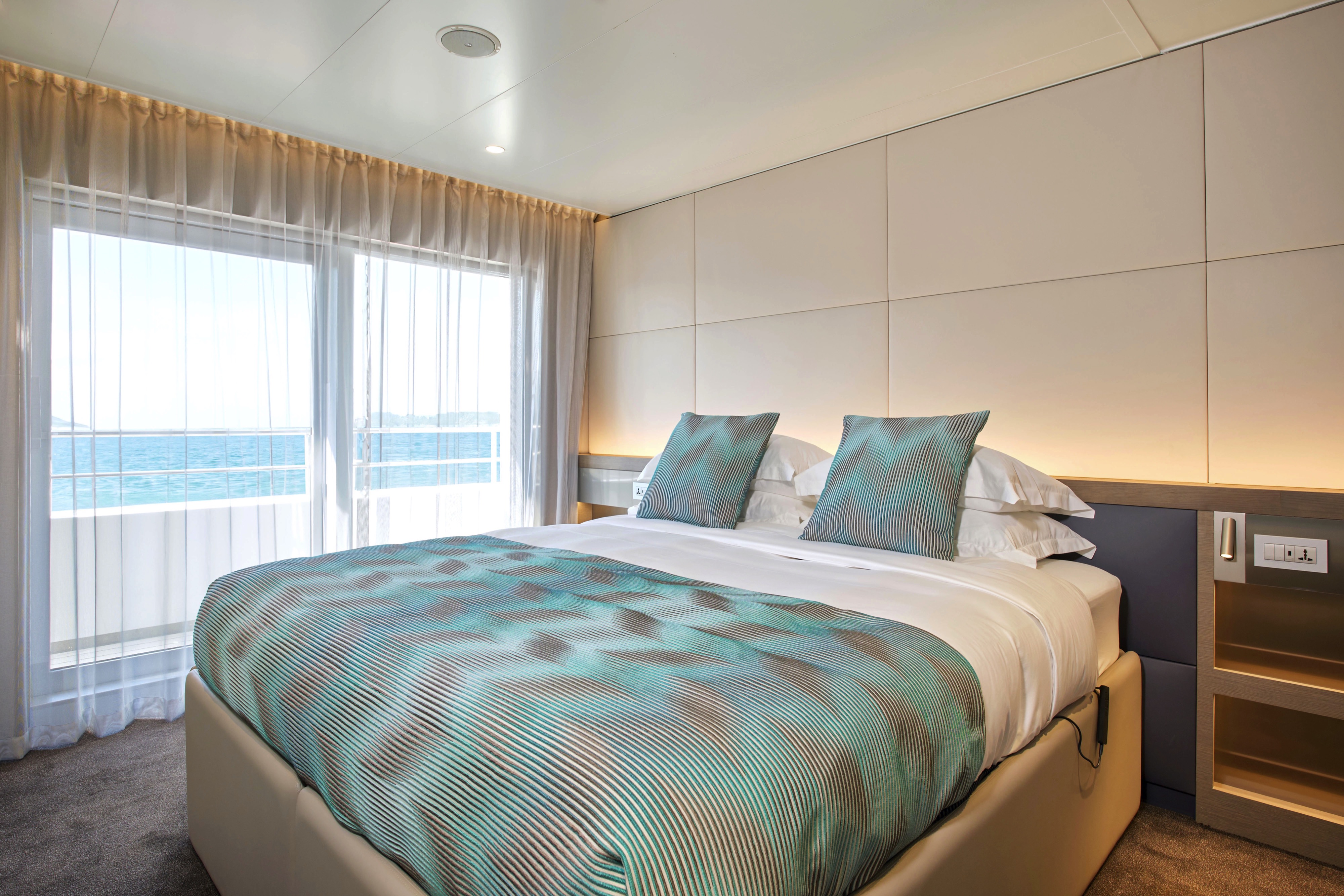
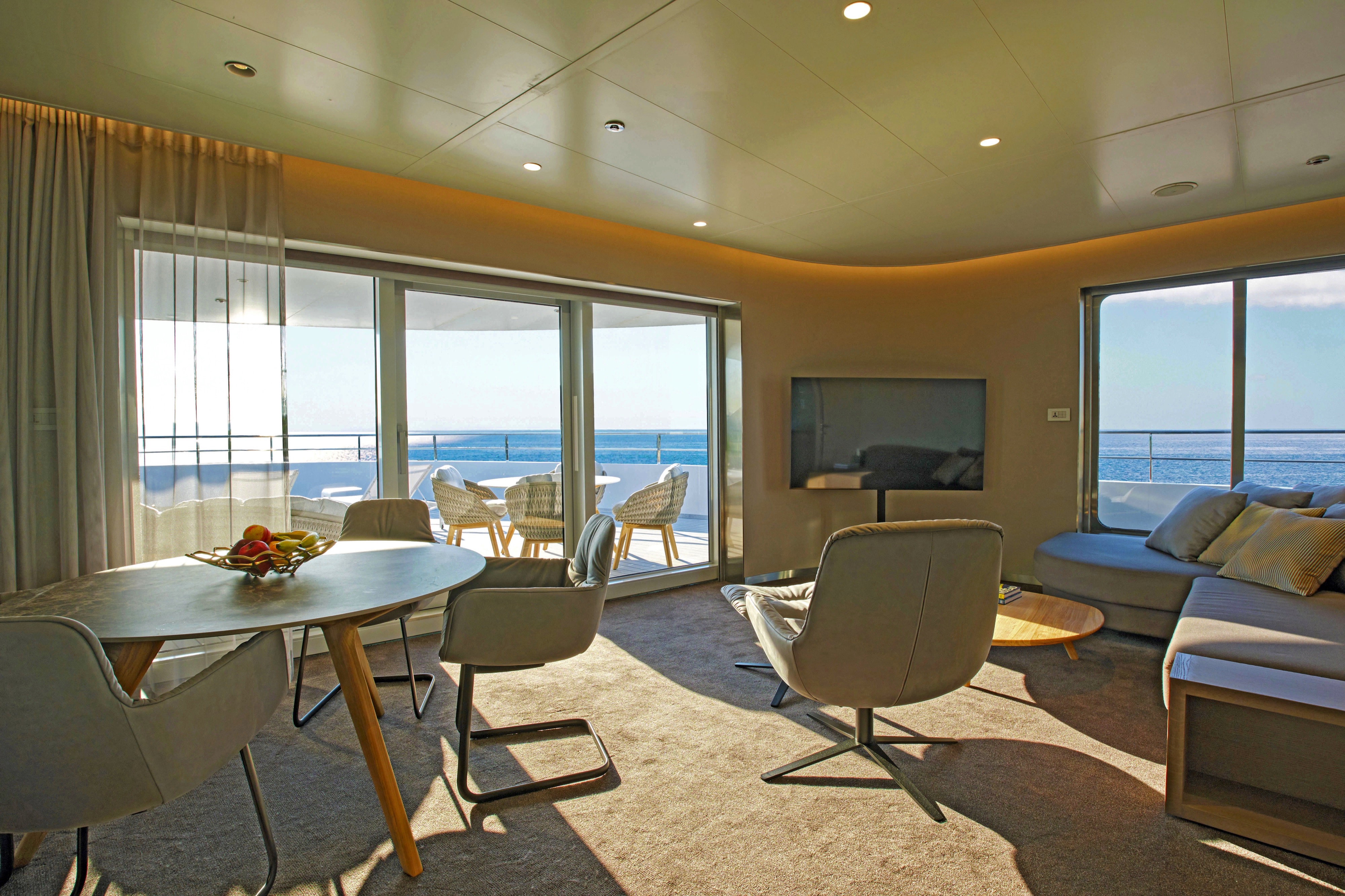
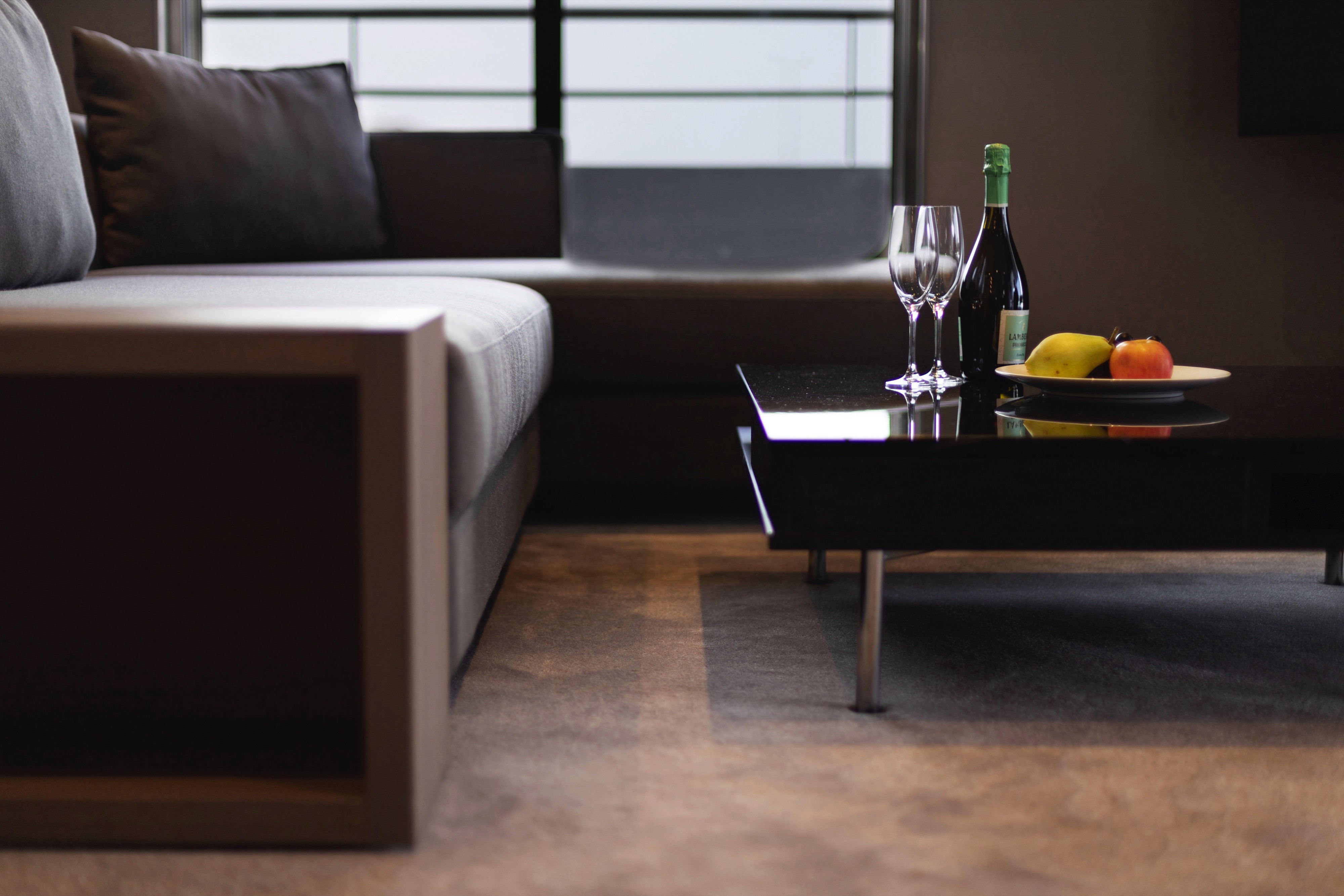
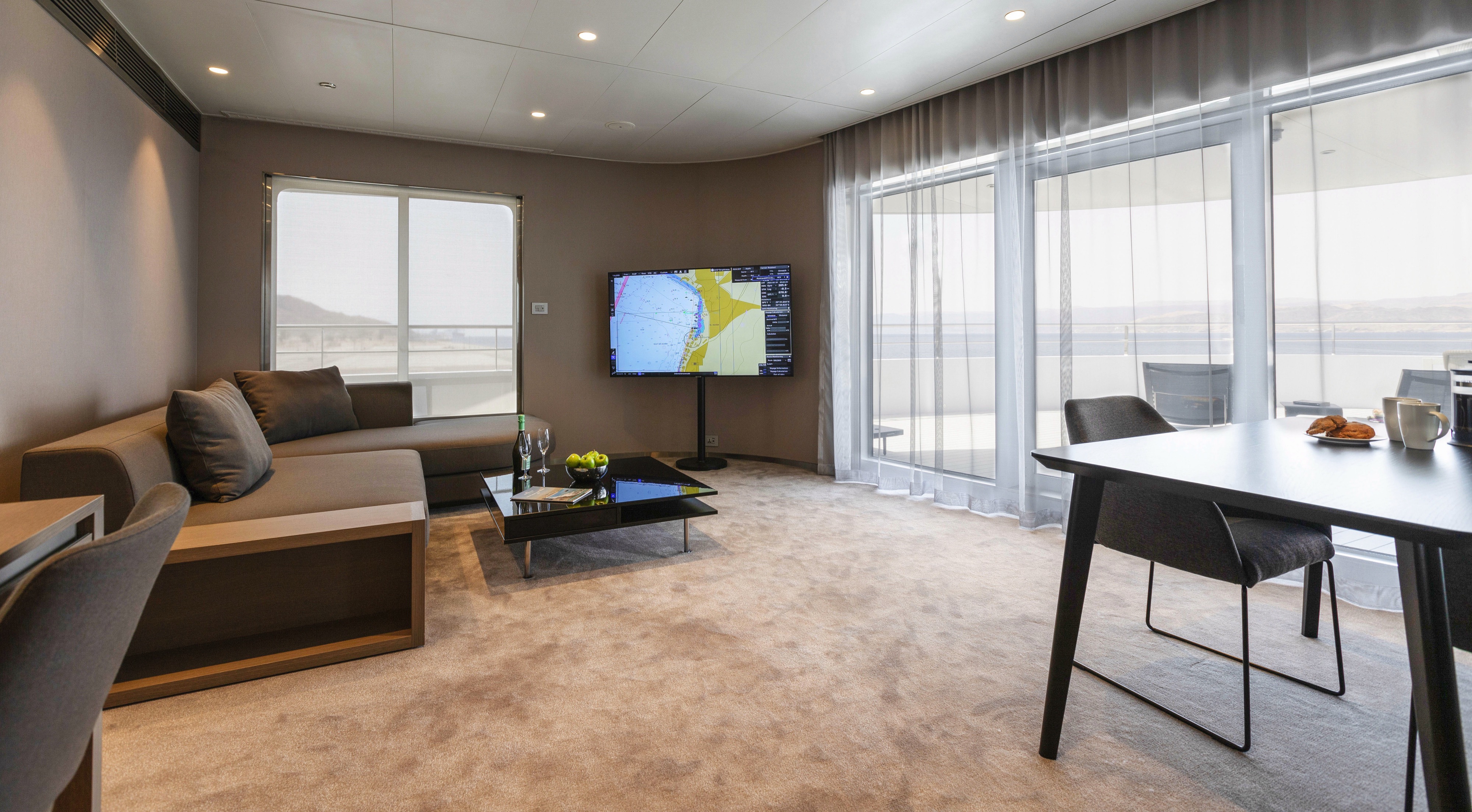
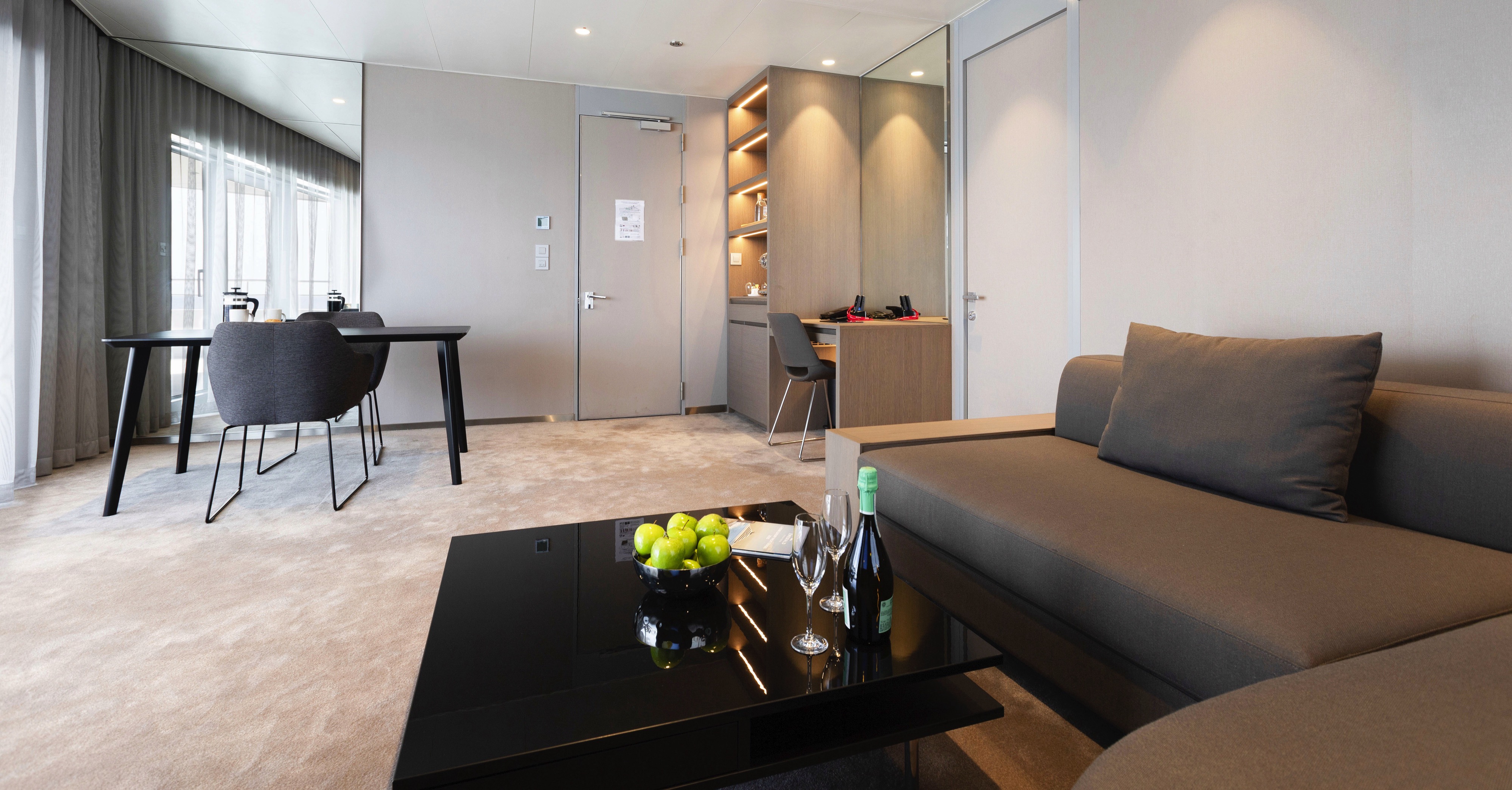
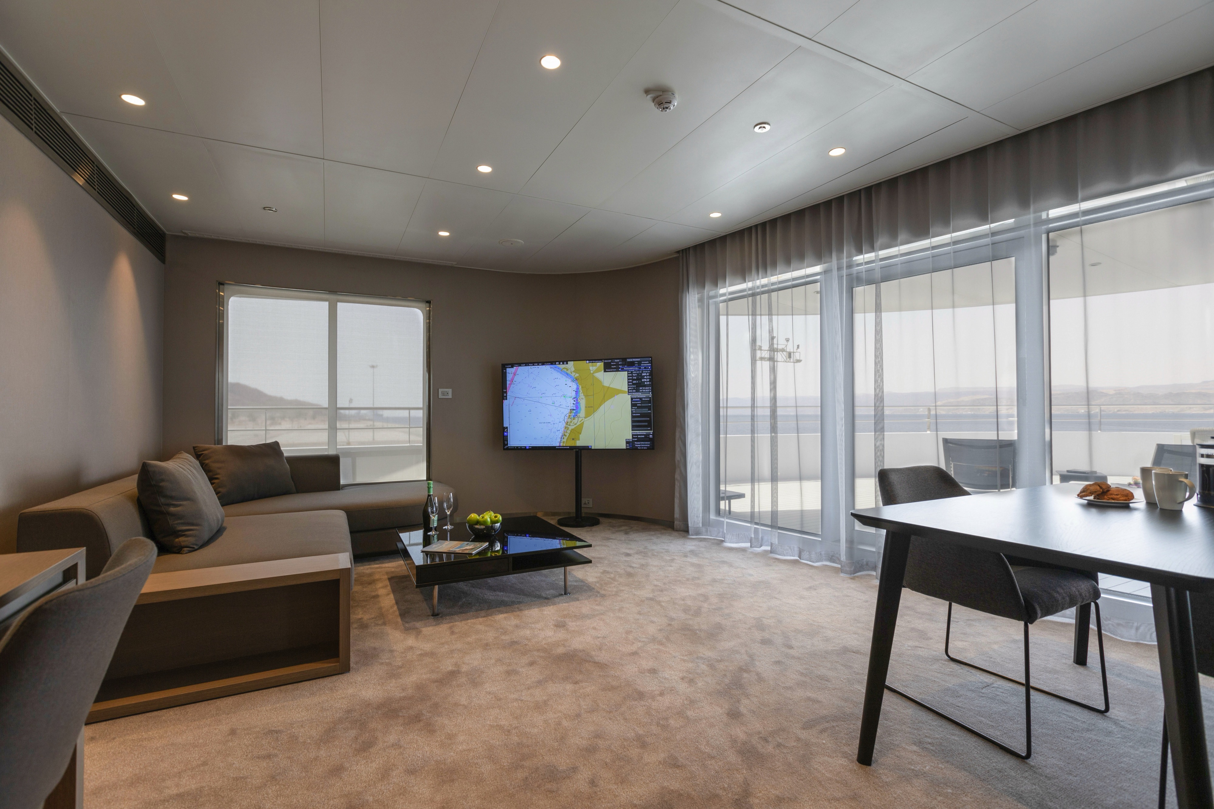
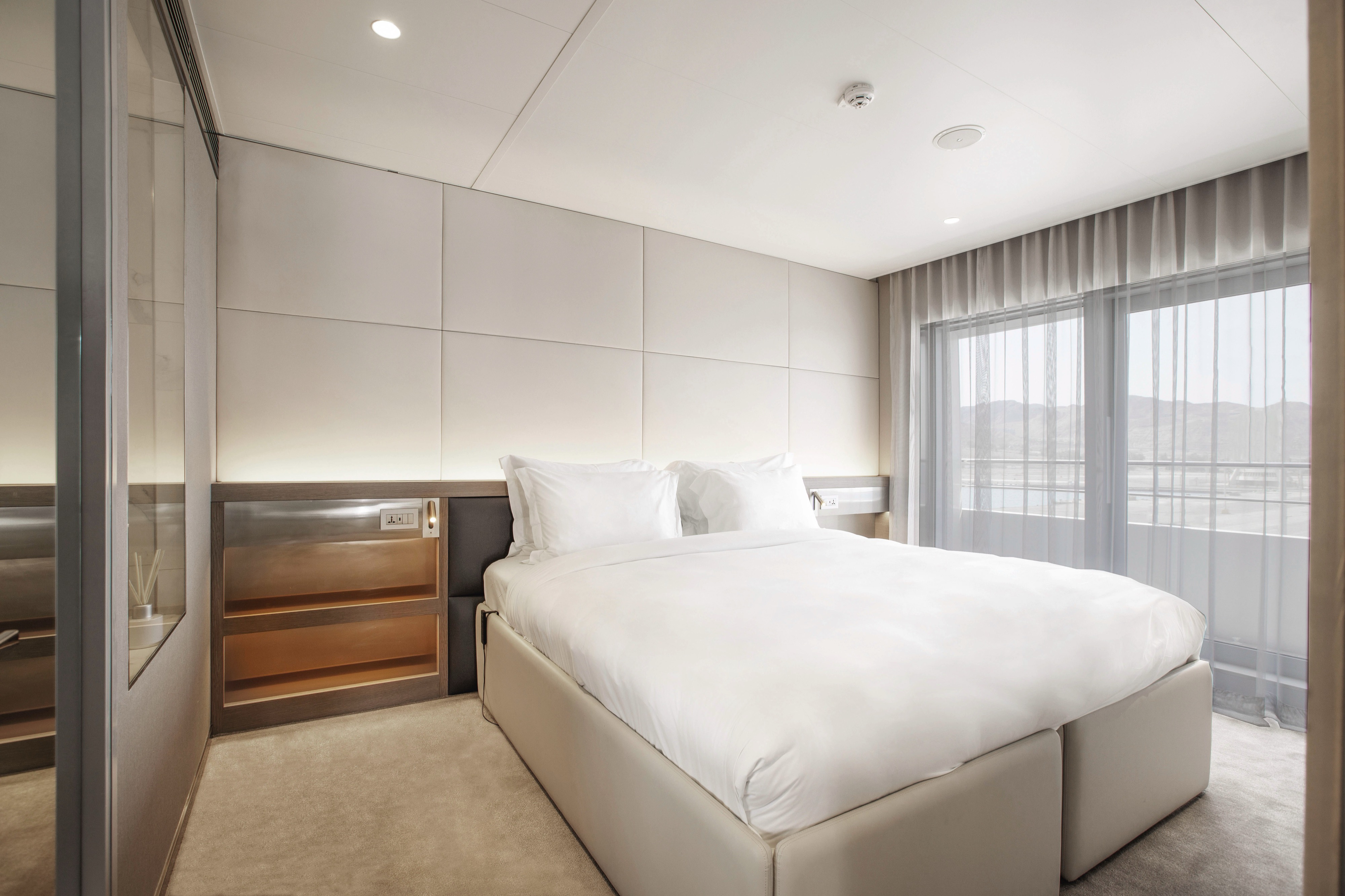
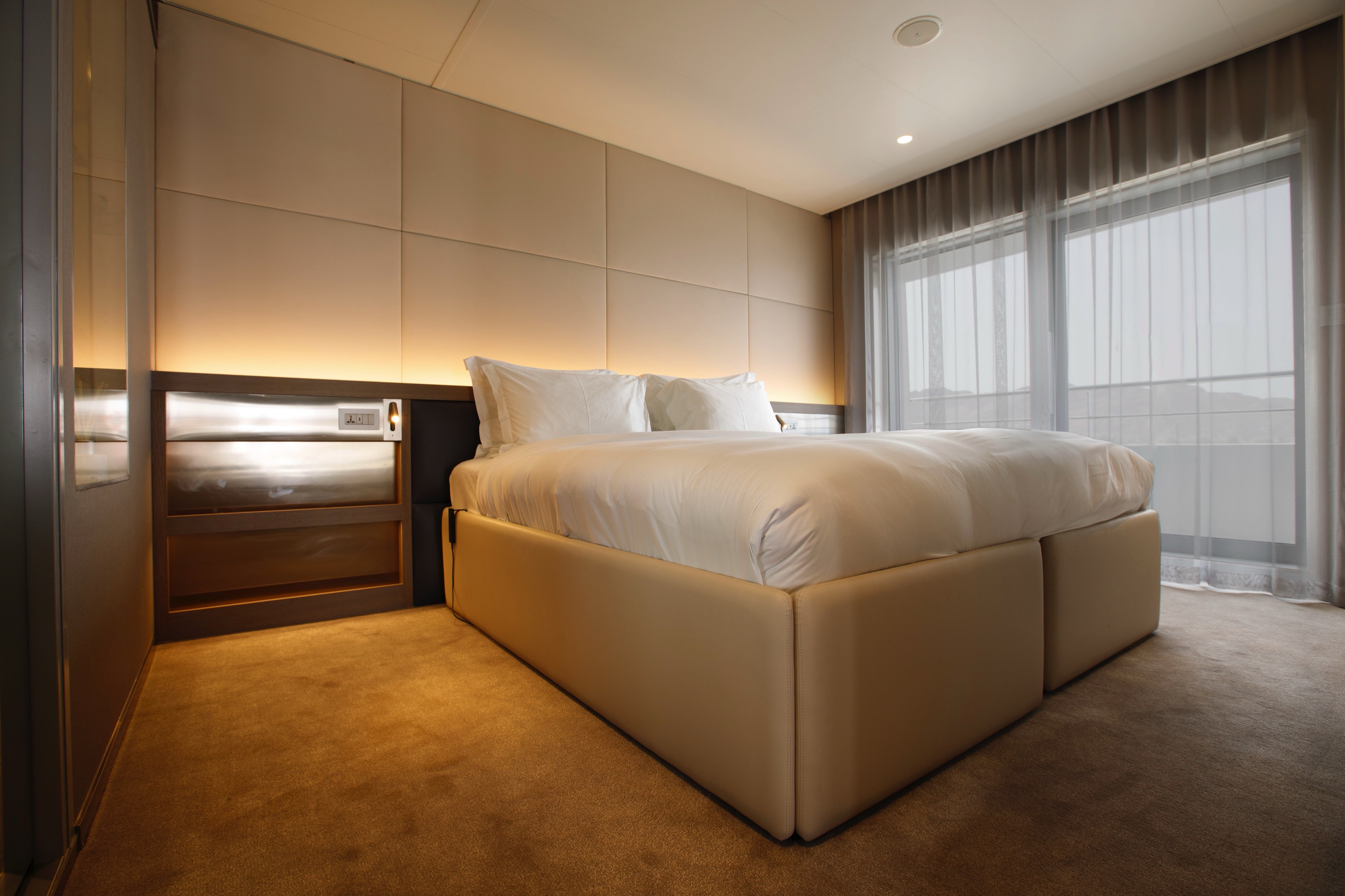
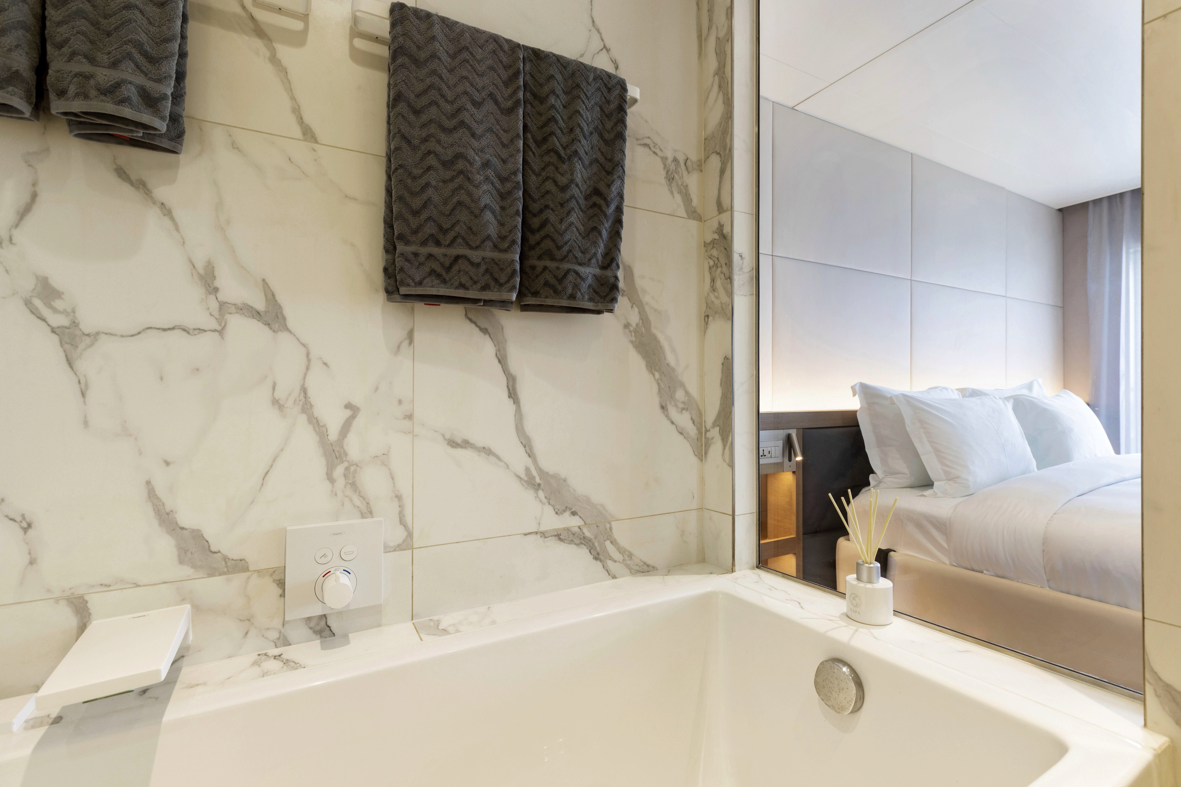
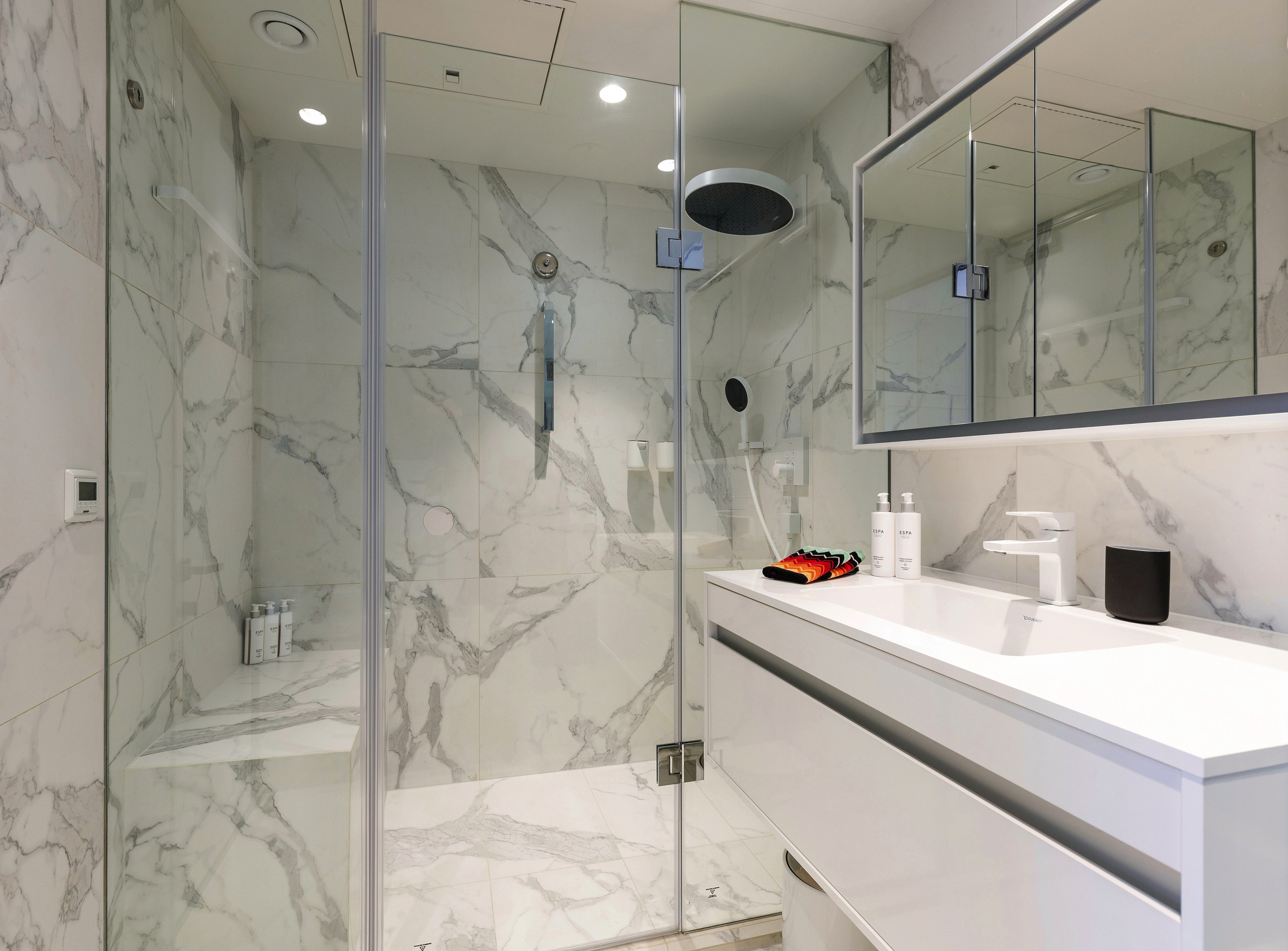
Positioned at the back of the Observation Deck, you’ll be treated to sensational ocean and coastal views from your own private terrace. You’ll also receive a number of luxury inclusions to help you make the most of your time in your Yacht Suite.
- Your own private terrace
- Walk-in wardrobe
- Queen-size or twin hotel-style beds with the finest Egyptian cotton linen
- Pillow menu
- Bathroom with shower, indulgent toiletries and hairdryer
- Complimentary bathrobes and slippers
- Welcome bottle of champagne
- Fruit platter on arrival
- Full mini-bar, restocked daily
- Complimentary water, restocked daily
- Flat screen HDTV and infotainment system
- Complimentary Wi-Fi
- Individual climate control
- Coffee and tea-making facilities
- Two laundered items daily
- Personal safe
- Umbrella
- Telephone
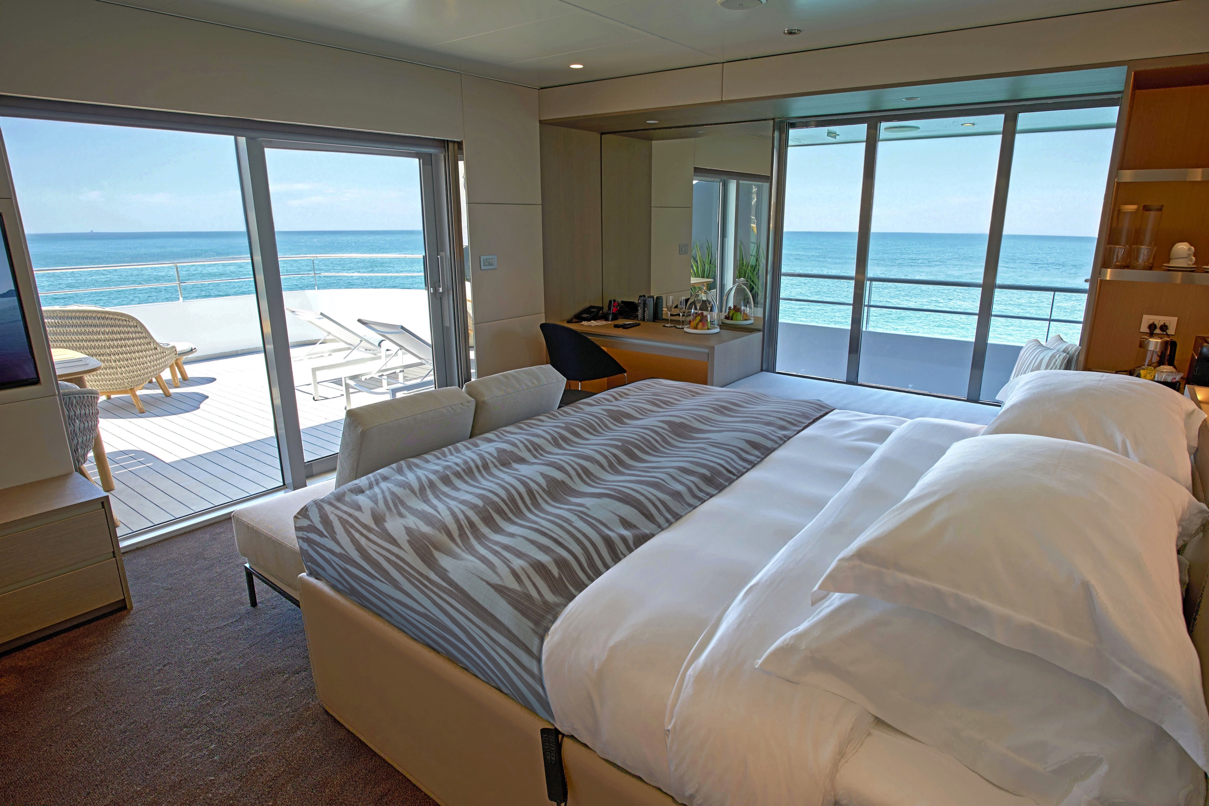
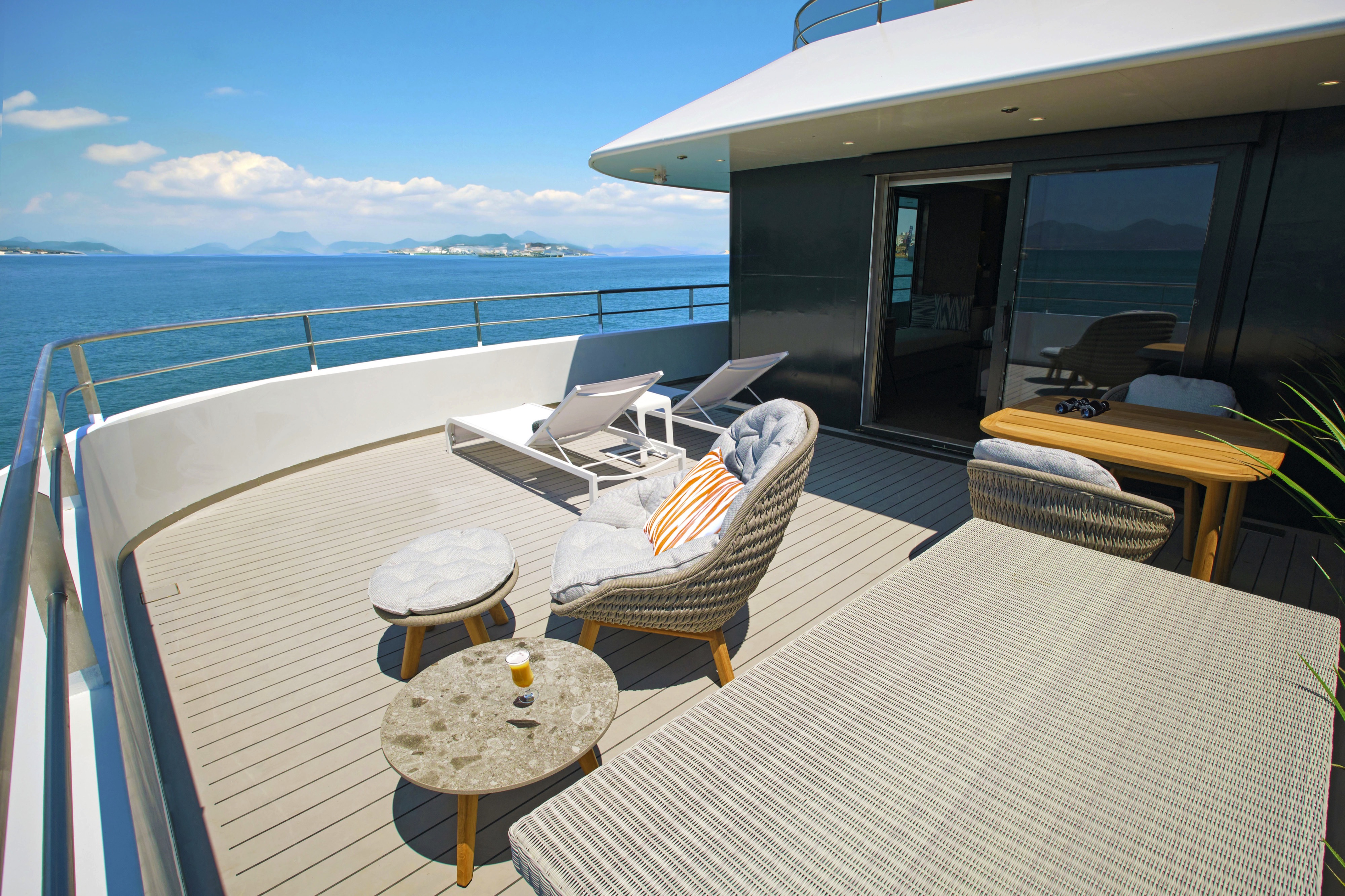
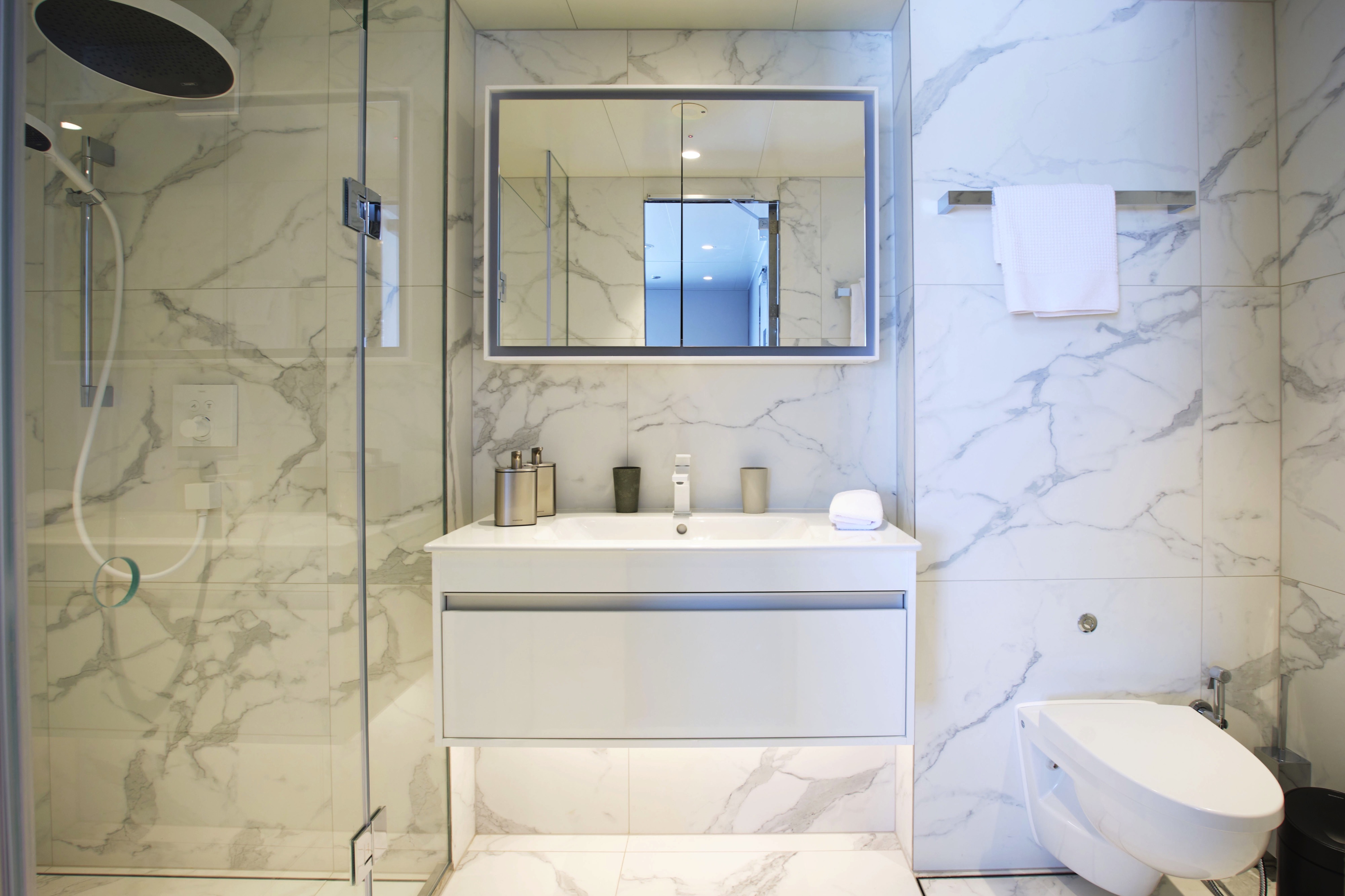
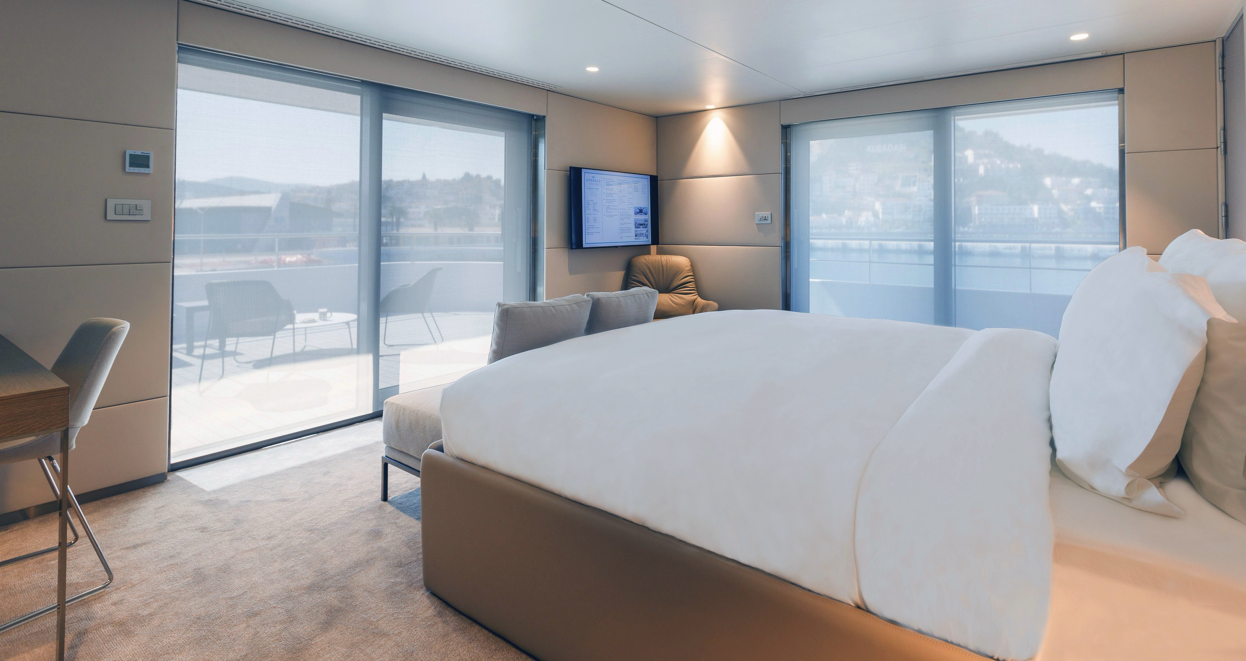
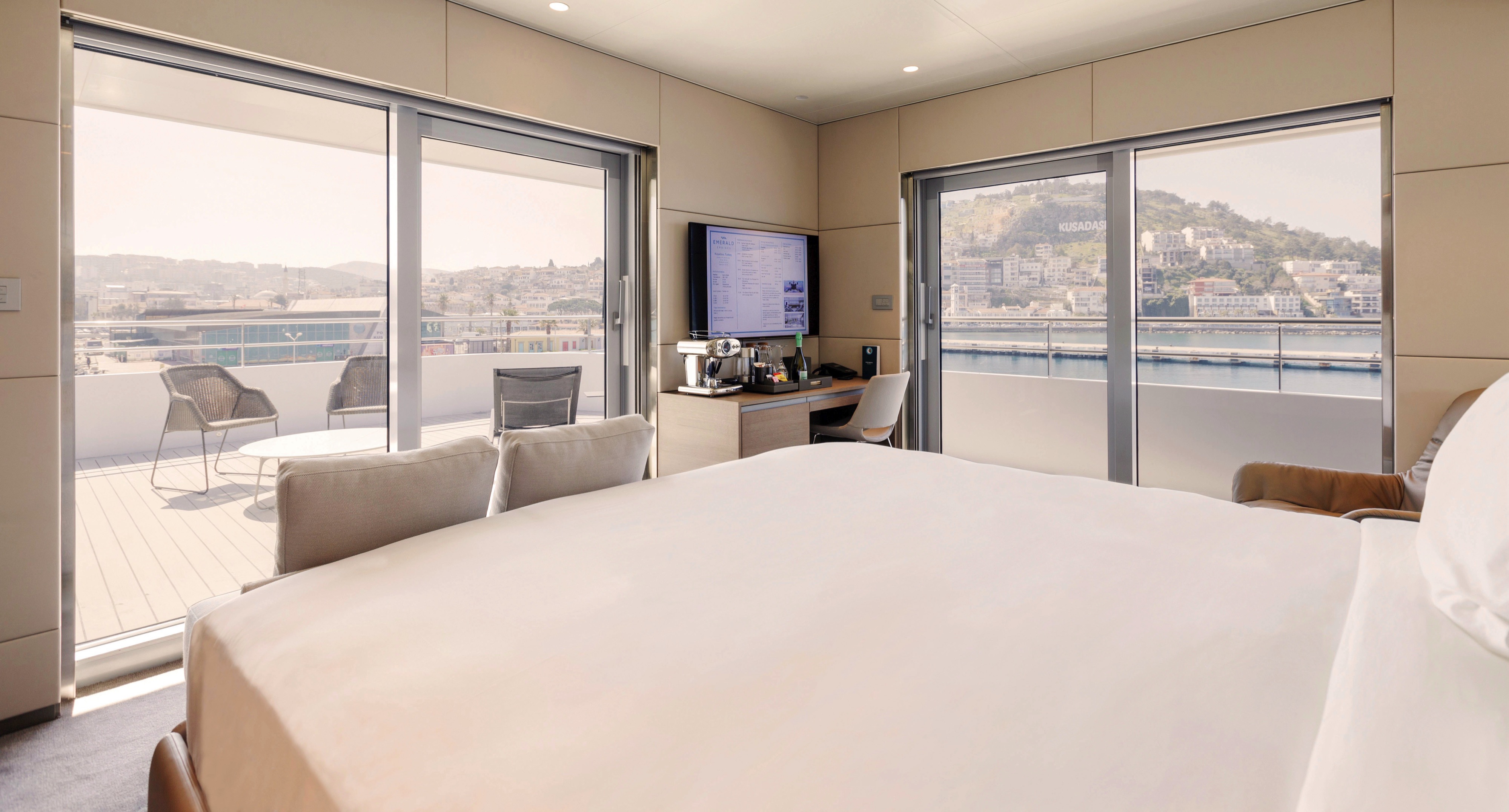
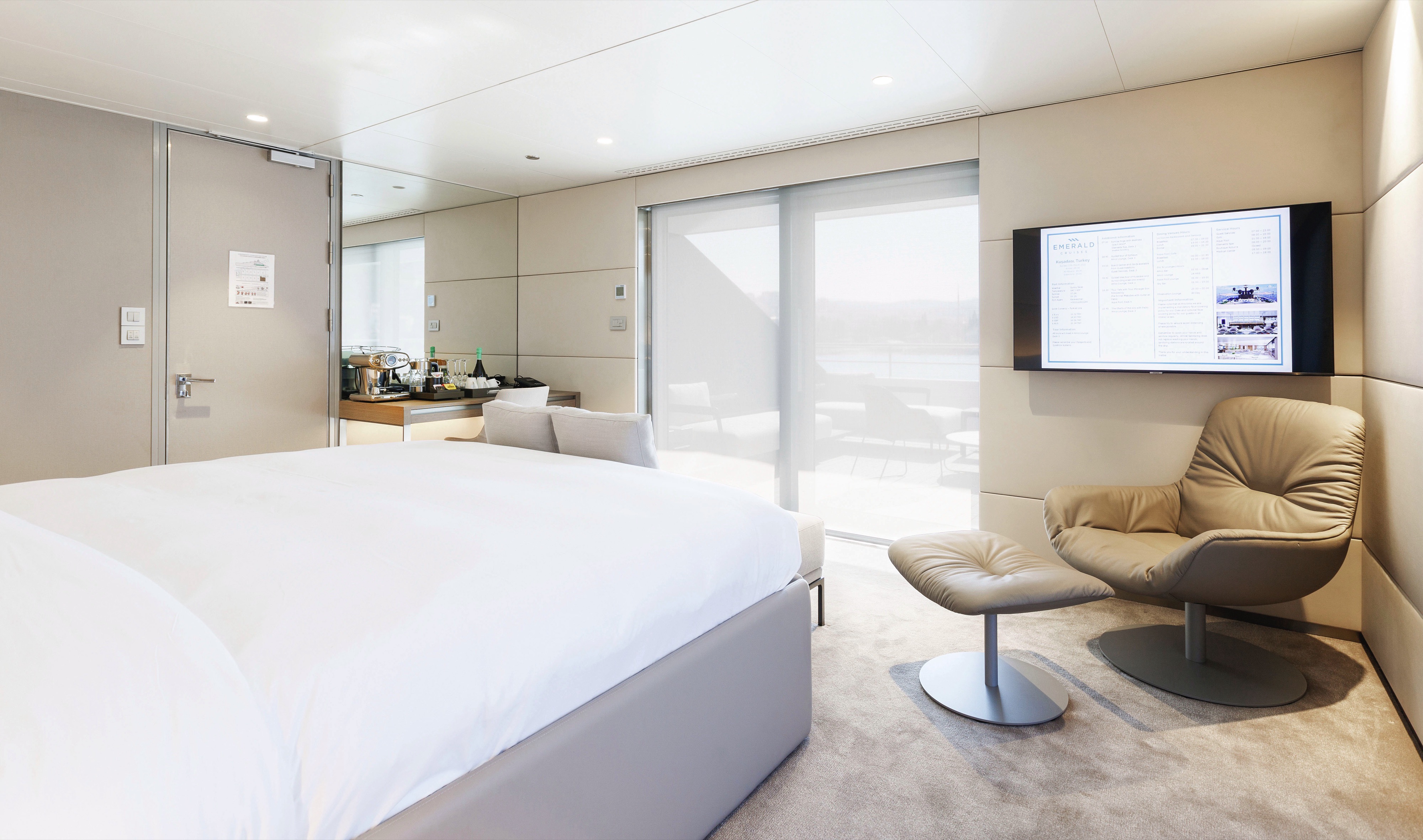
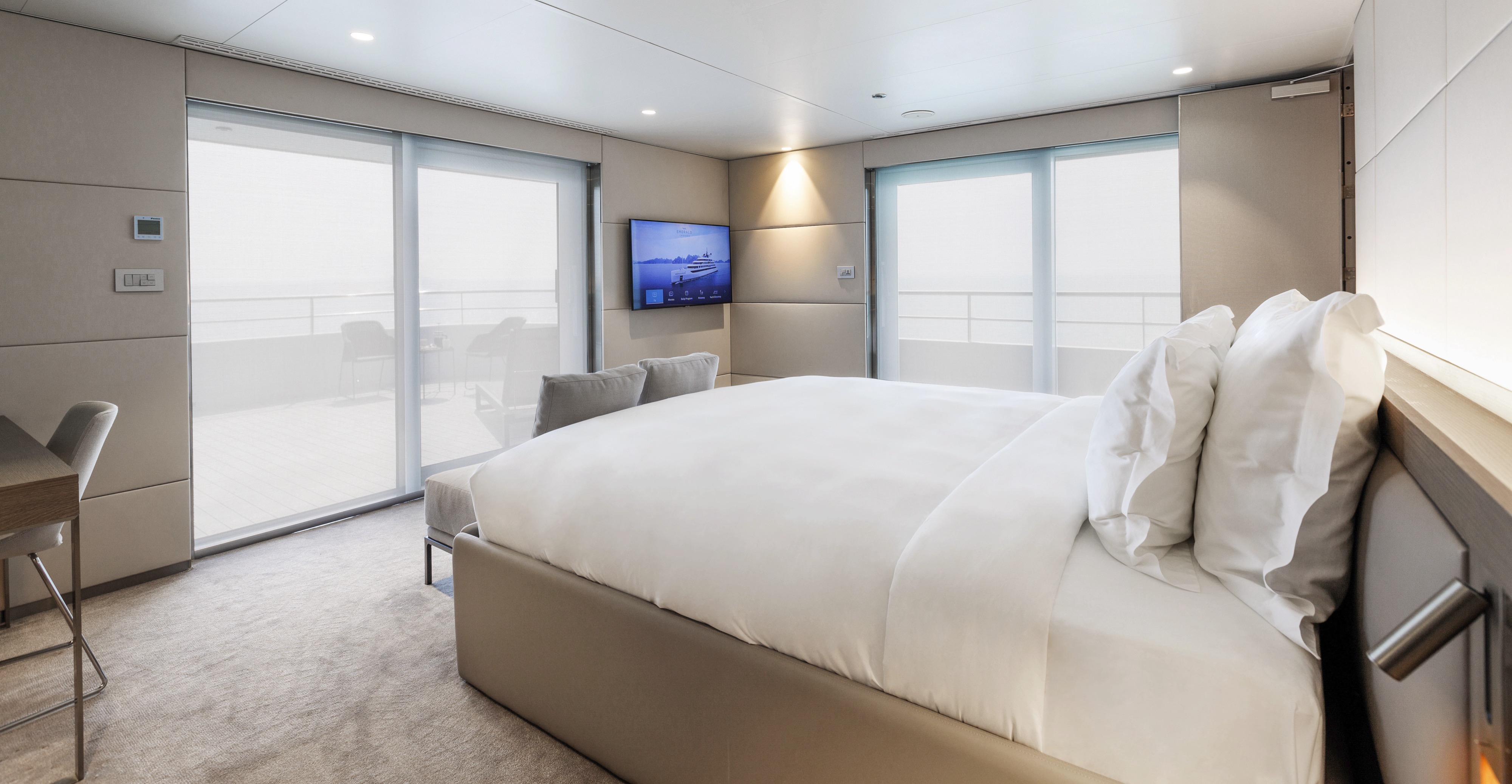
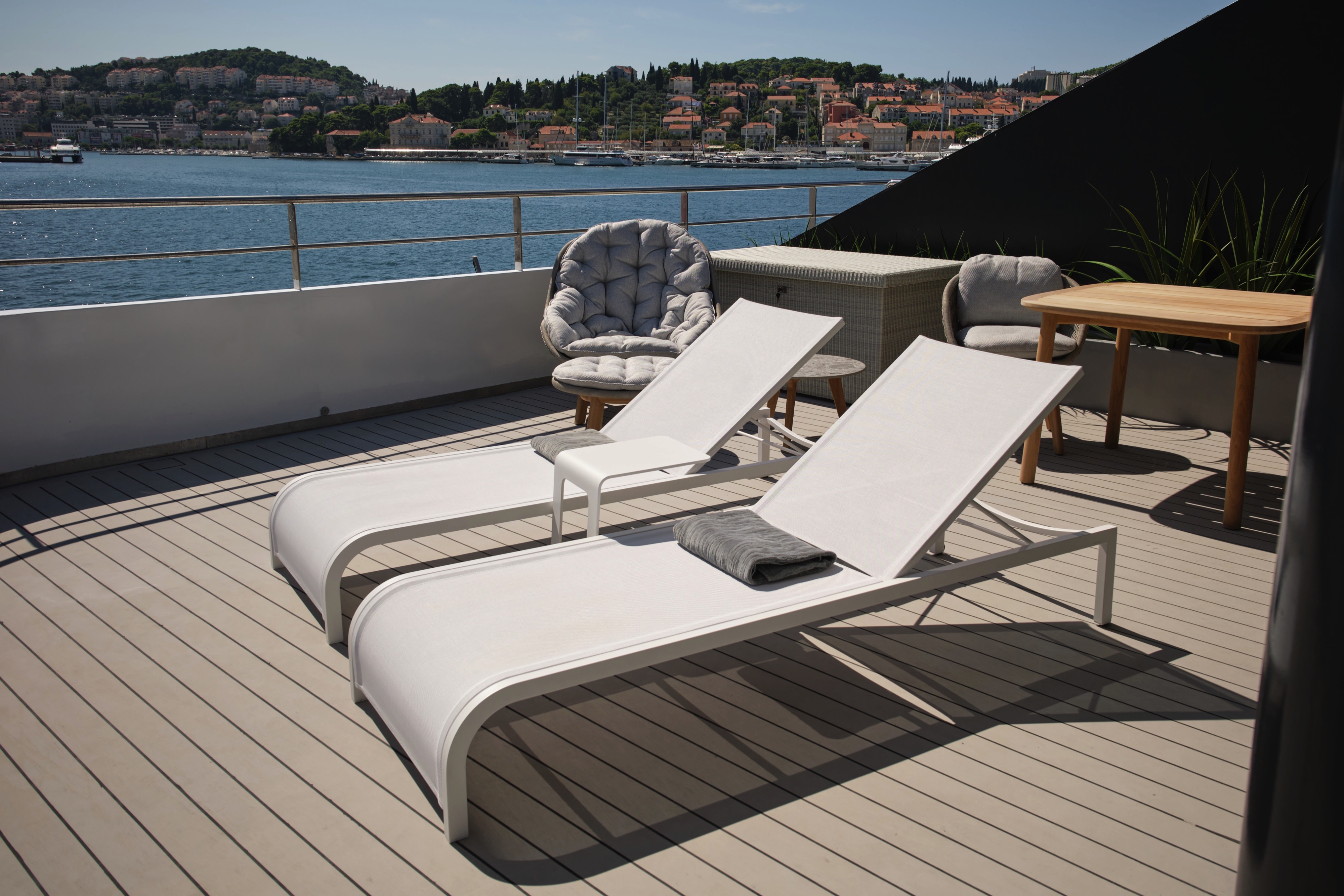
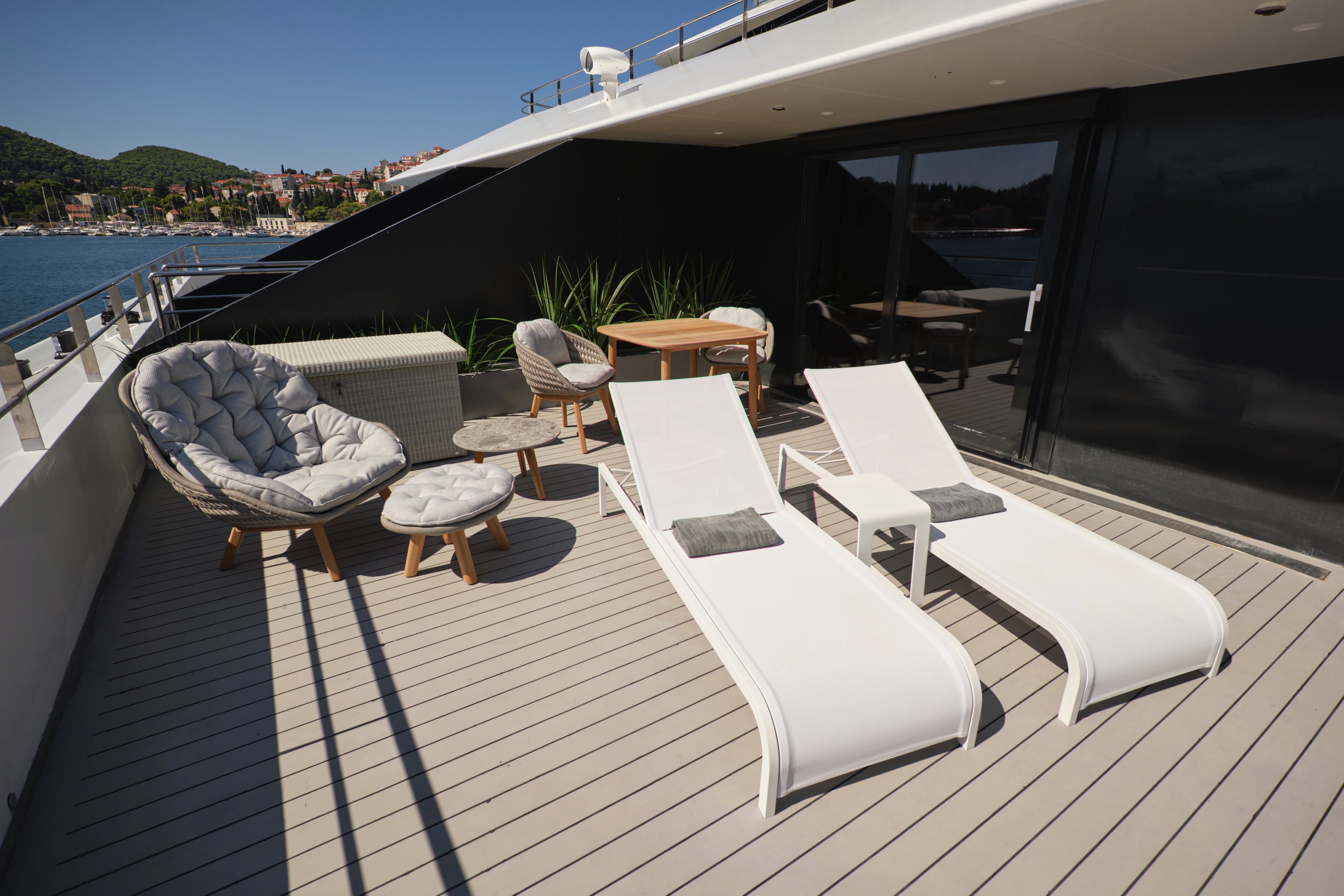
Our spacious Terrace Suites take pride of place at the back of the Panorama Deck and come complete with a large private terrace, pillow menu and the option to have two items laundered daily, perfect for preparing your wardrobe for a special occasion.
- Your own private terrace
- Queen-size or twin hotel-style beds with the finest Egyptian cotton linen
- Pillow menu
- Bathroom with shower, indulgent toiletries and hairdryer
- Complimentary bathrobes and slippers
- Welcome bottle of champagne
- Fruit platter on arrival
- Full mini-bar, restocked daily
- Complimentary water, restocked daily
- Flat screen HDTV and infotainment system
- Complimentary Wi-Fi
- Individual climate control
- Coffee and tea-making facilities
- Two laundered items daily
- Personal safe
- Umbrella
- Telephone
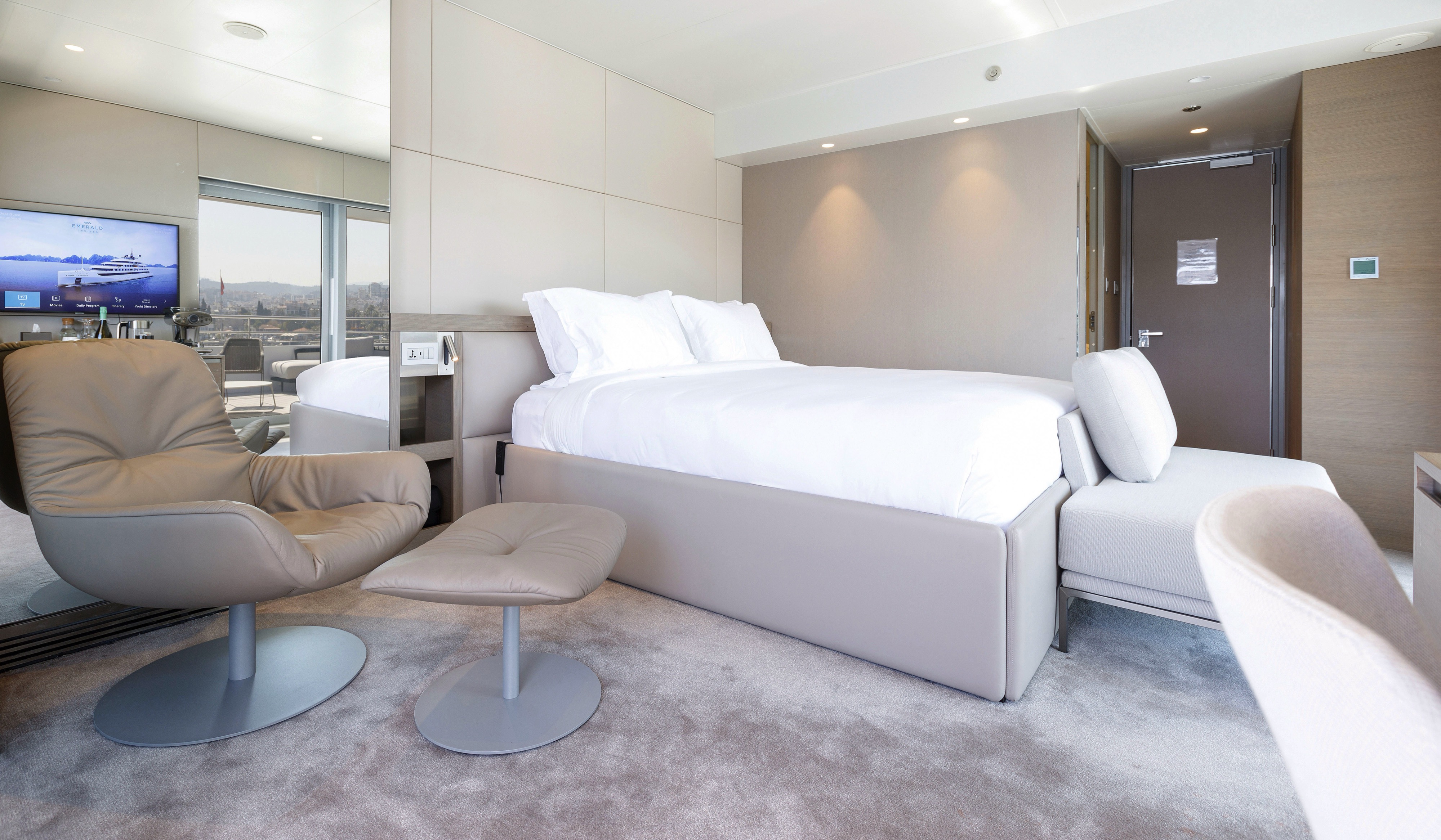
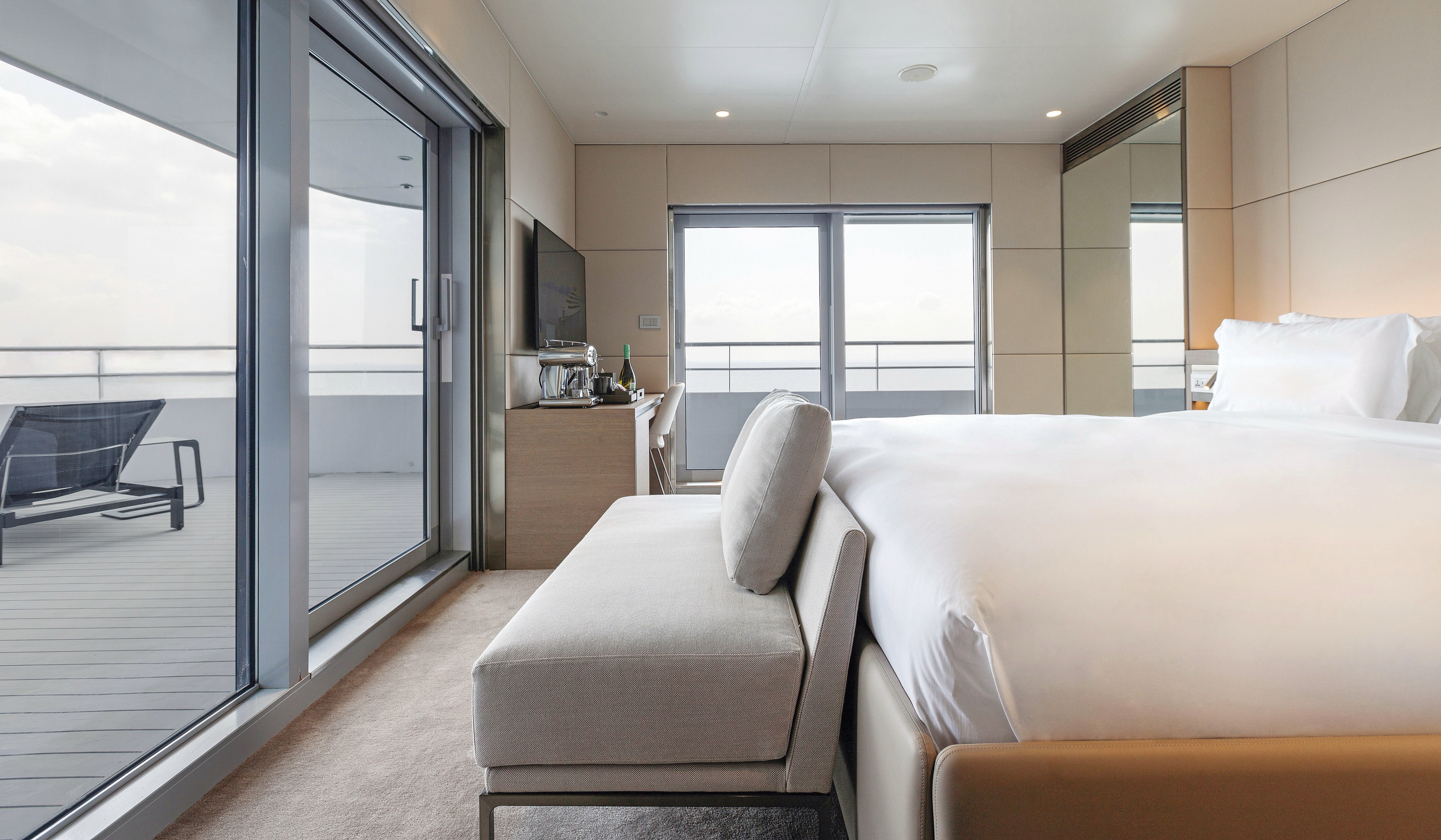
Our Deluxe Balcony Suite are conveniently located on the Pool Deck and feature their own private balcony. With just two per yacht, you’ll benefit from having extra space for your assured comfort.
- Your own private outdoor balcony
- Walk-in wardrobe
- Queen-size or twin hotel-style beds with the finest Egyptian cotton linen
- Pillow menu
- Bathroom with shower, indulgent toiletries and hairdryer
- Complimentary bathrobes and slippers
- Fruit platter on arrival
- Complimentary water, restocked daily
- Flat screen HDTV and infotainment system
- Complimentary Wi-Fi
- Individual climate control
- Coffee and tea-making facilities
- Mini-bar
- Personal safe
- Umbrella
- Telephone
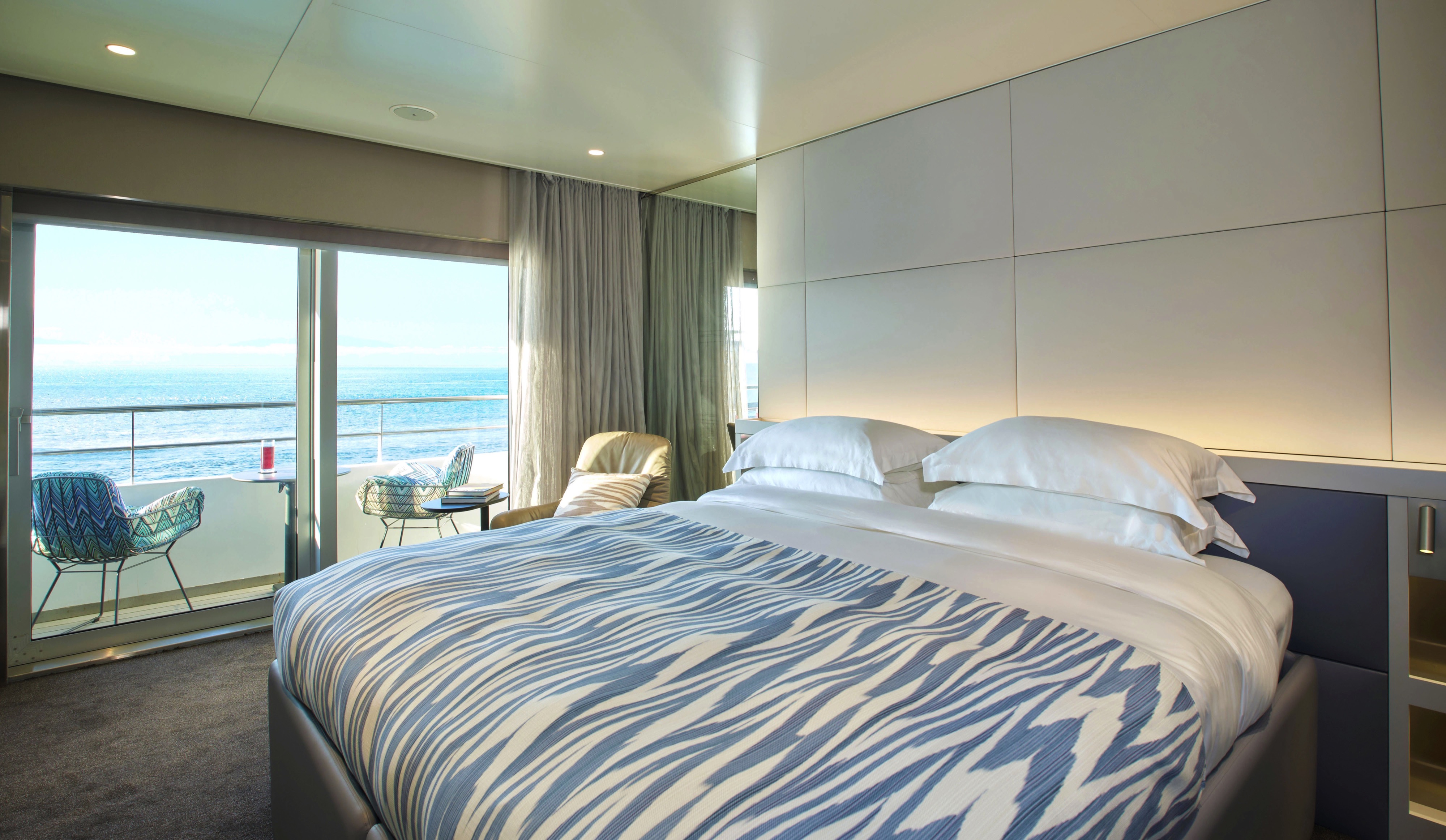

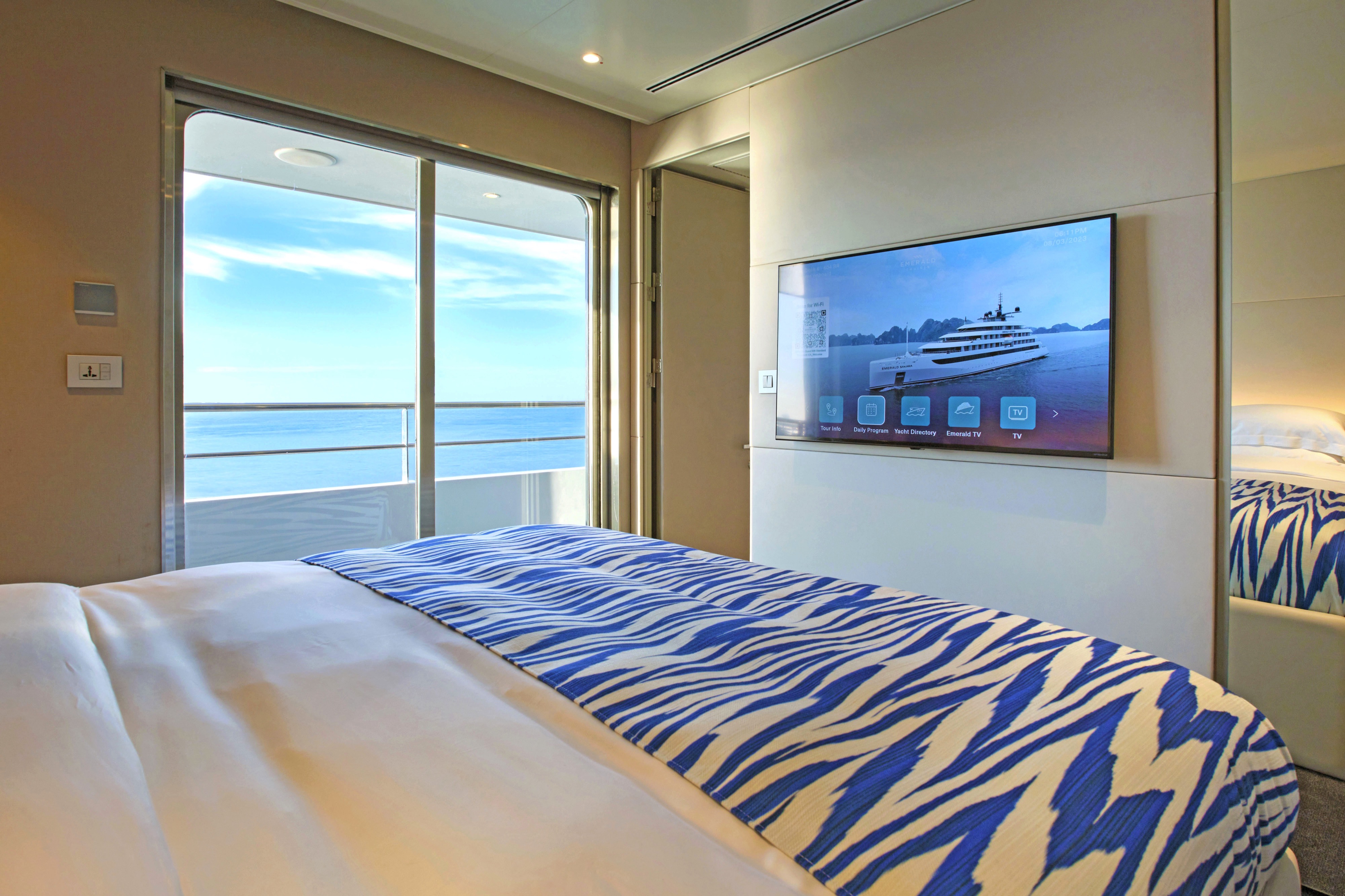
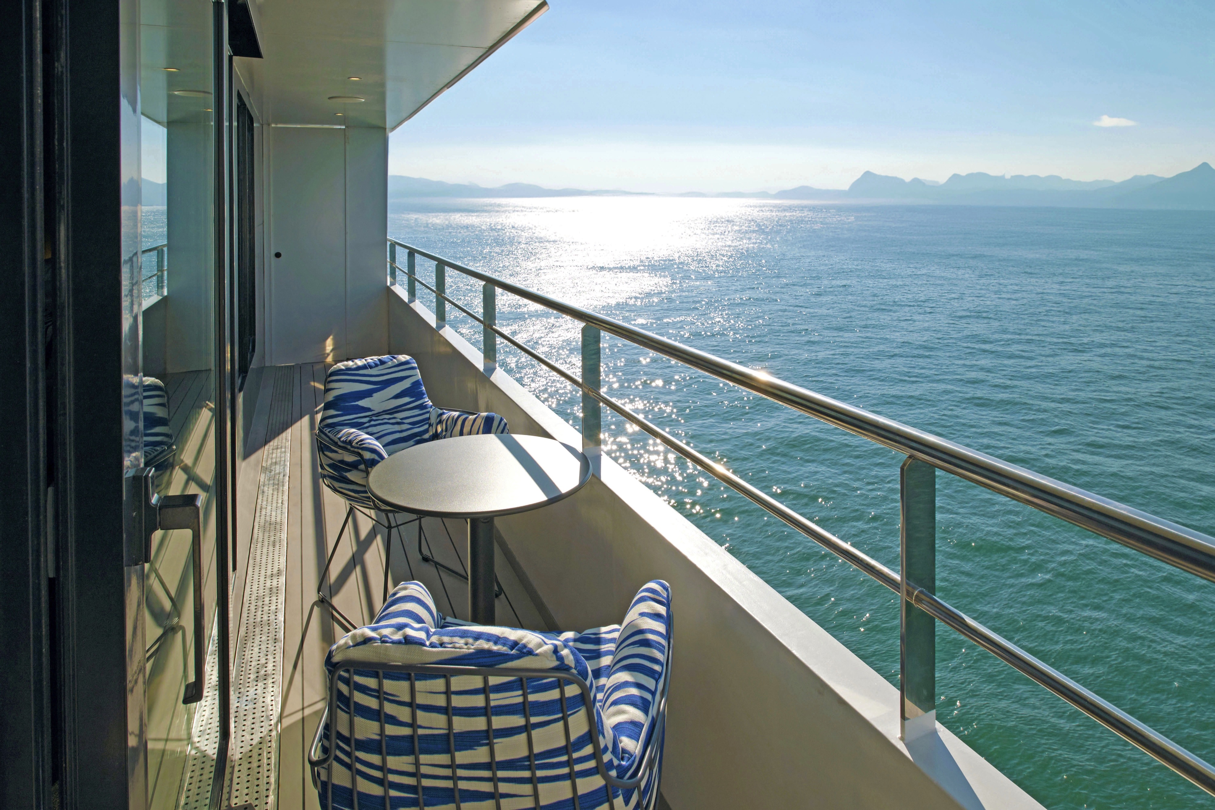
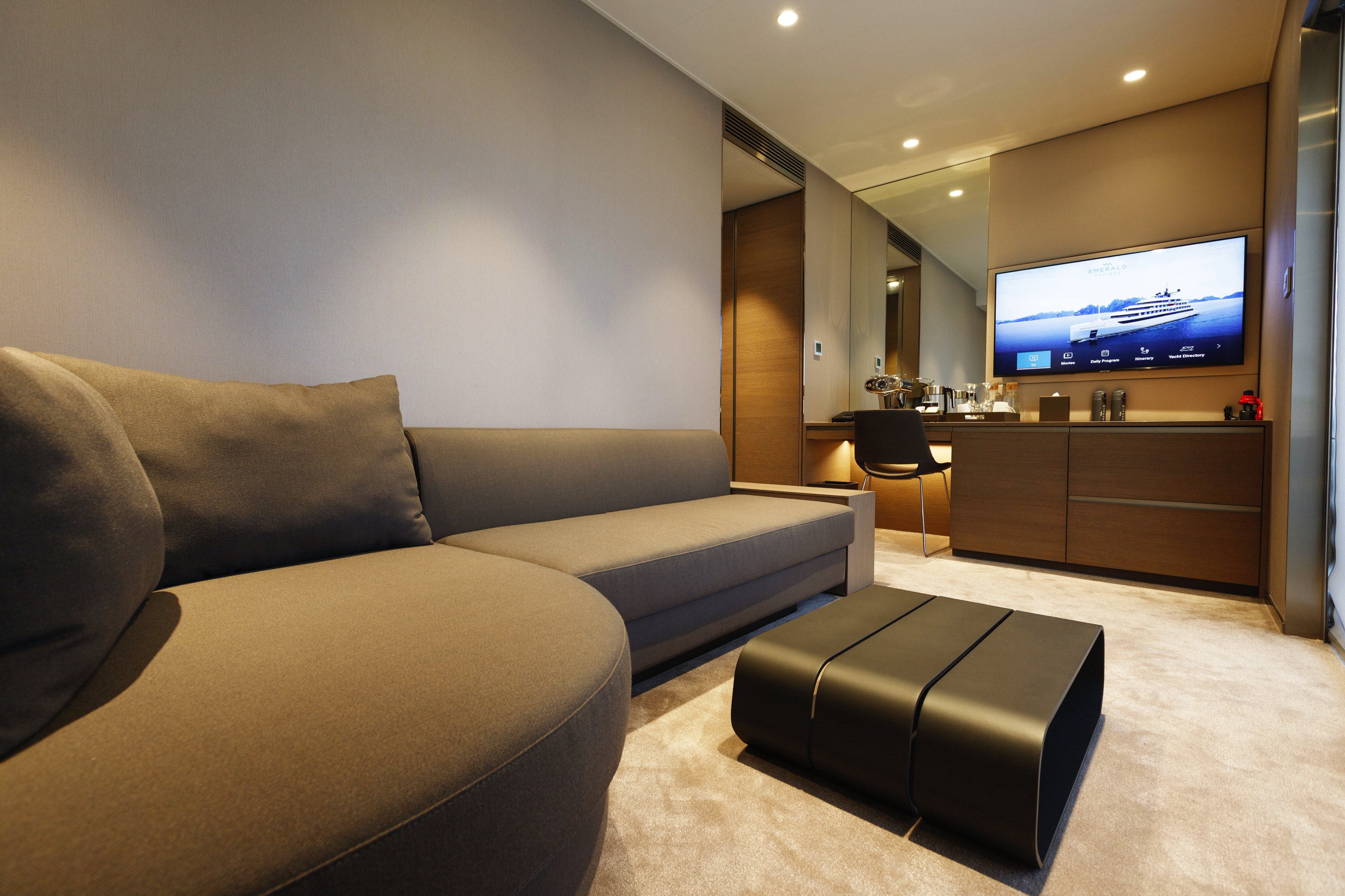
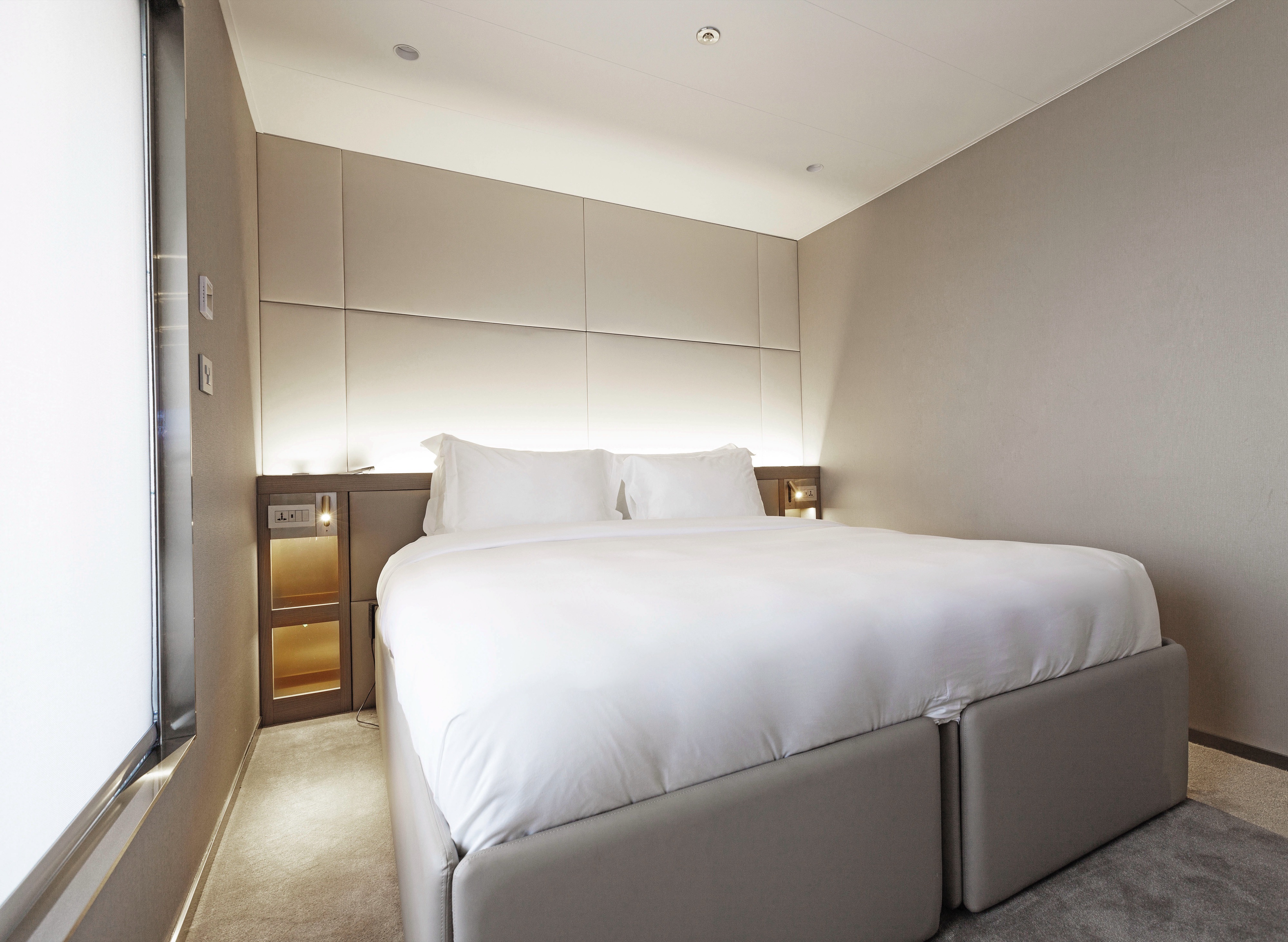
Divided between the Observation and Panorama decks, our Balcony Suites are your stylish home-away-from-home. With everything you need for a great night’s sleep, we’ve carefully designed them to help you relax after a day of exploration.
- Your own private outdoor balcony
- Queen-size or twin hotel-style beds with the finest Egyptian cotton linen
- Bathroom with shower, indulgent toiletries and hairdryer
- Complimentary bathrobes and slippers
- Complimentary water, restocked daily
- Flat screen HDTV and infotainment system
- Complimentary Wi-Fi
- Individual climate control
- Mini-bar
- Personal safe
- Umbrella
- Telephone

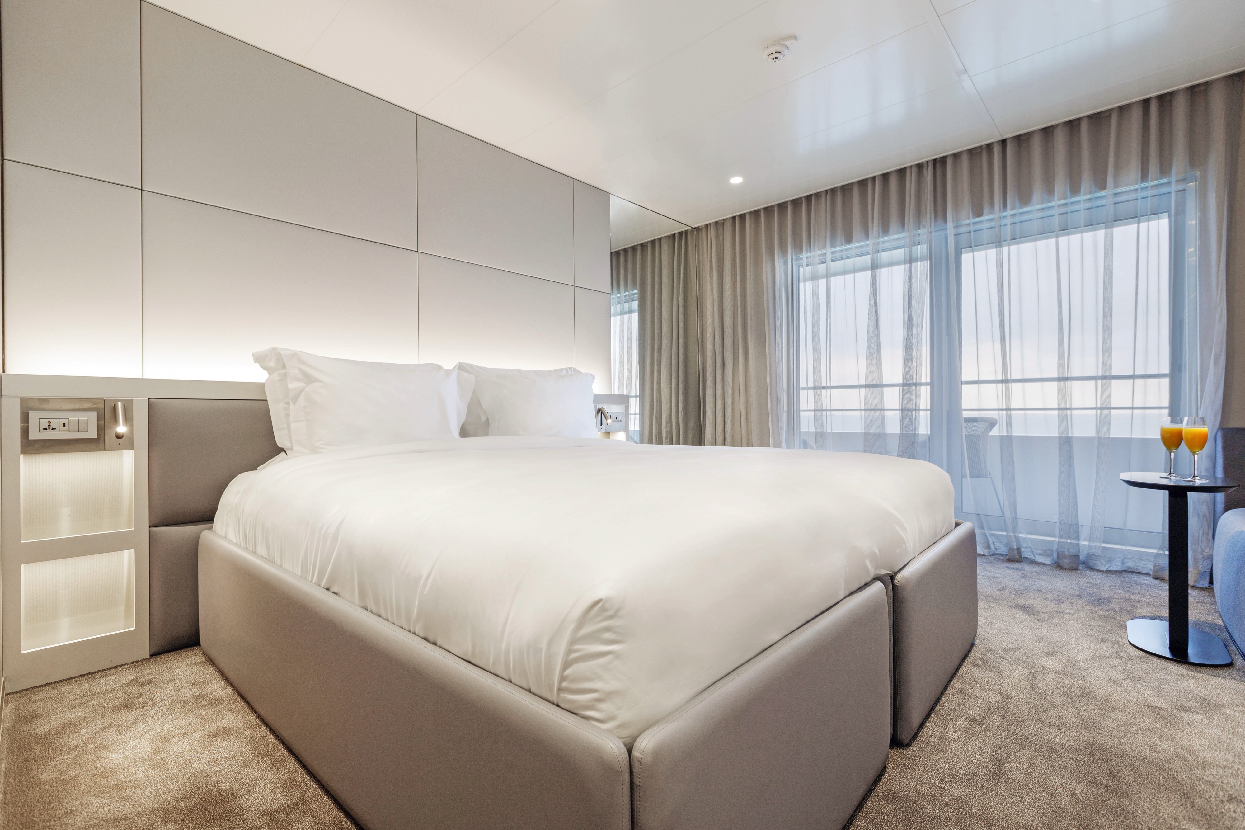
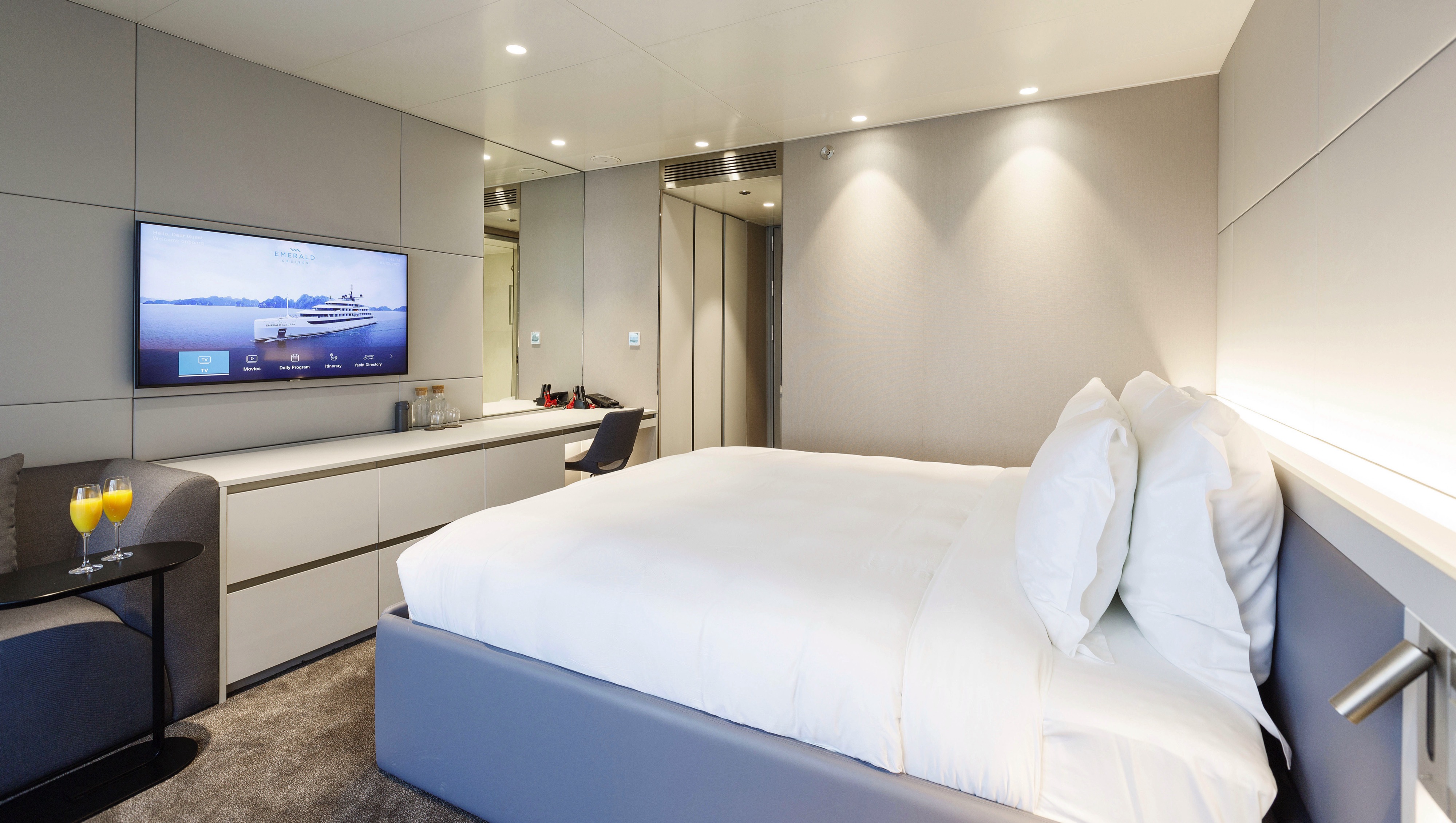
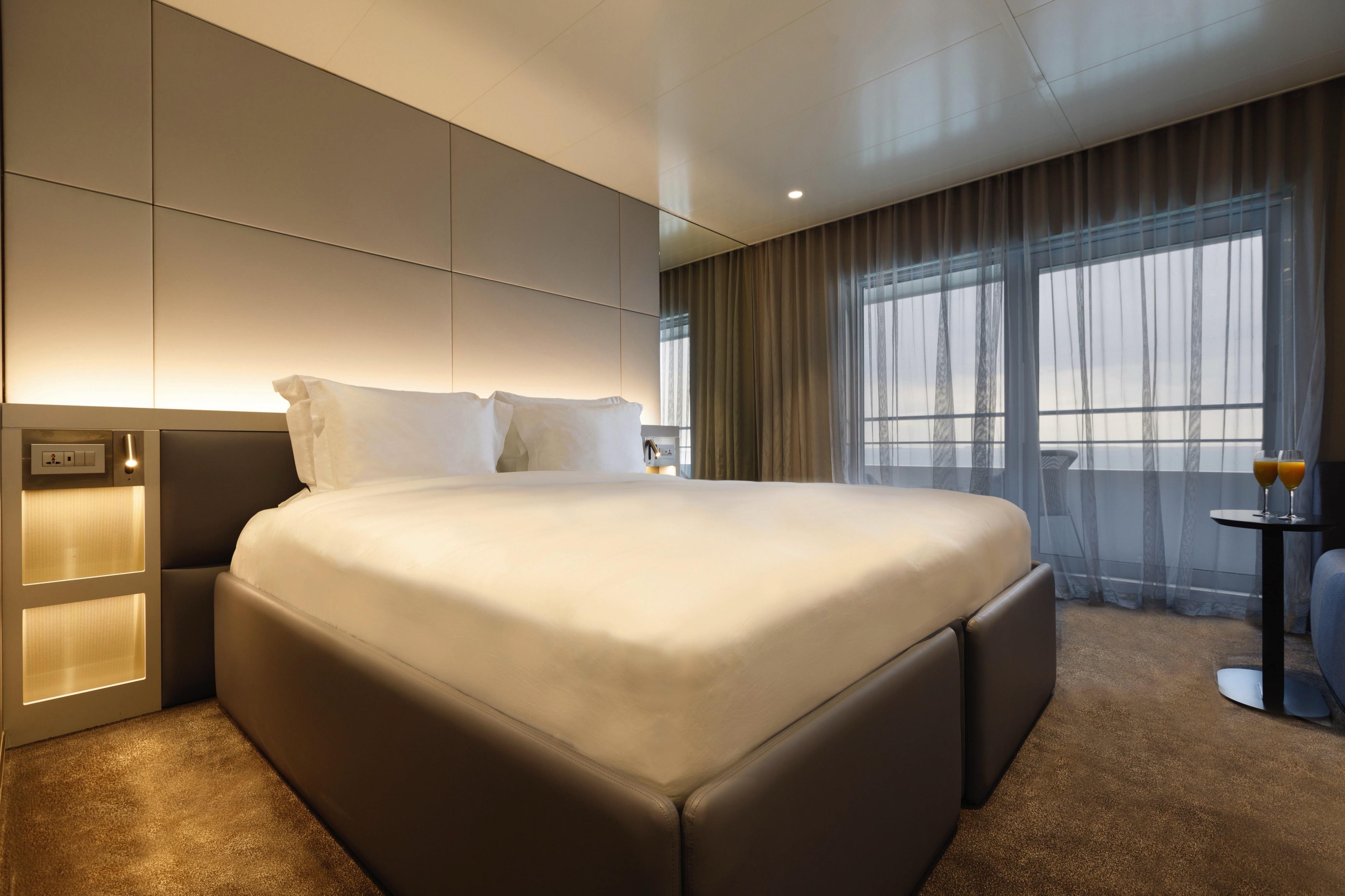
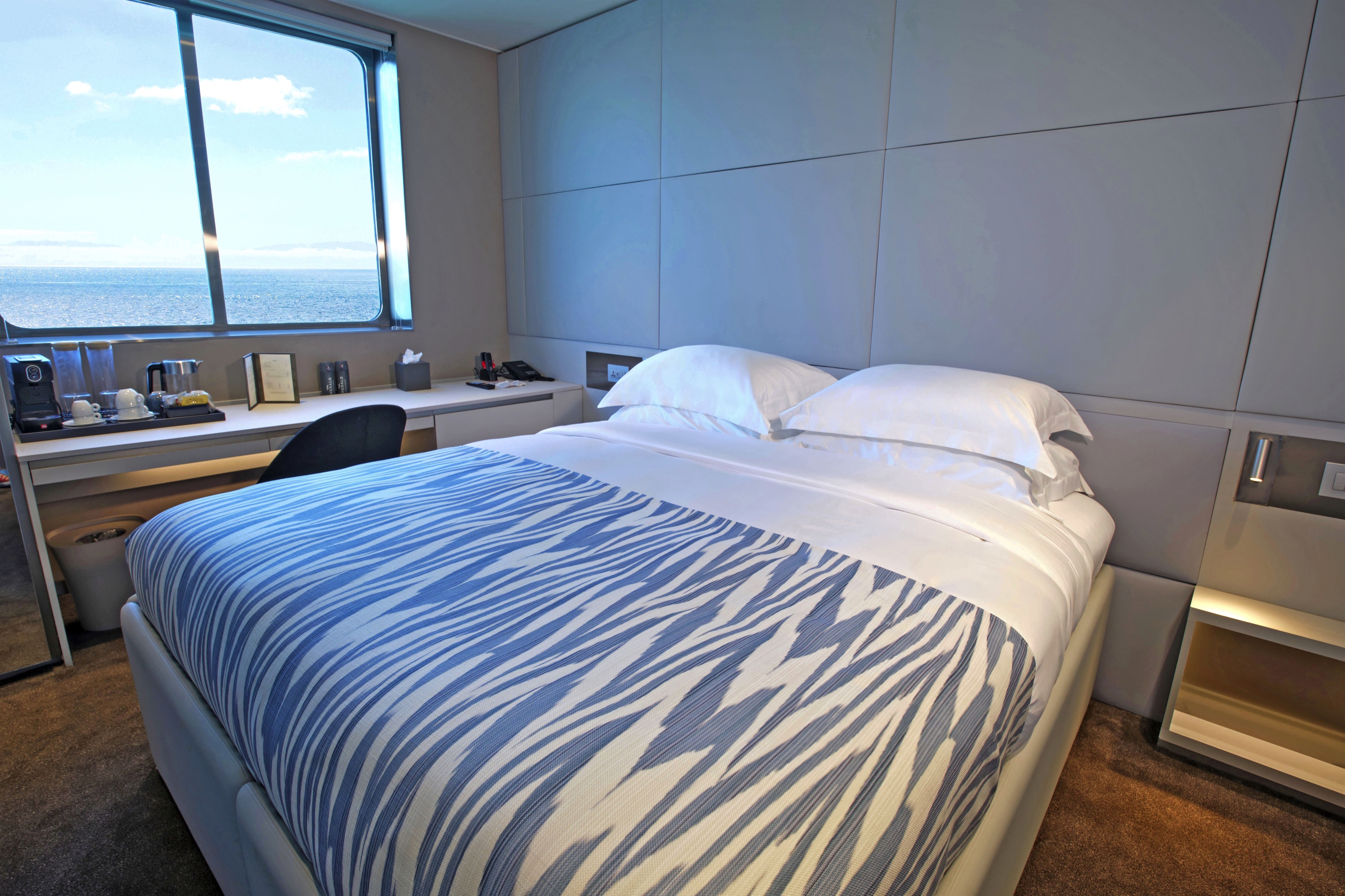
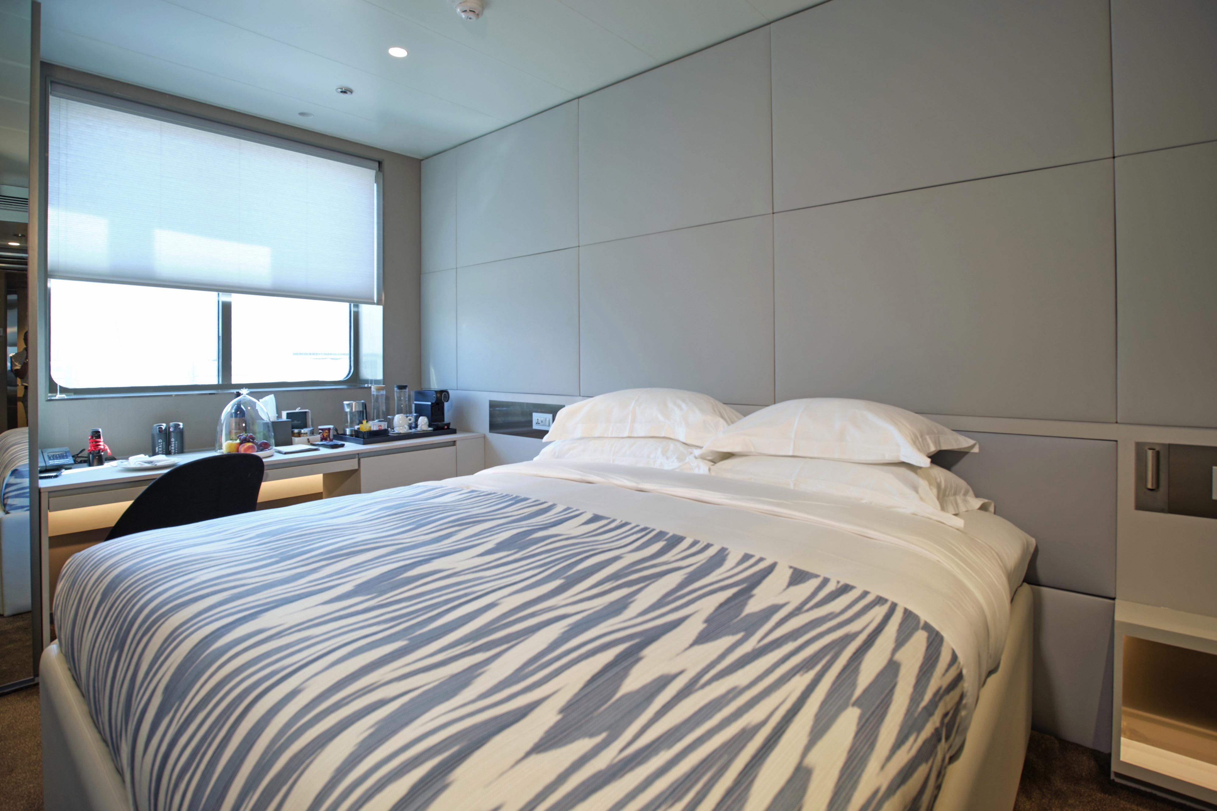
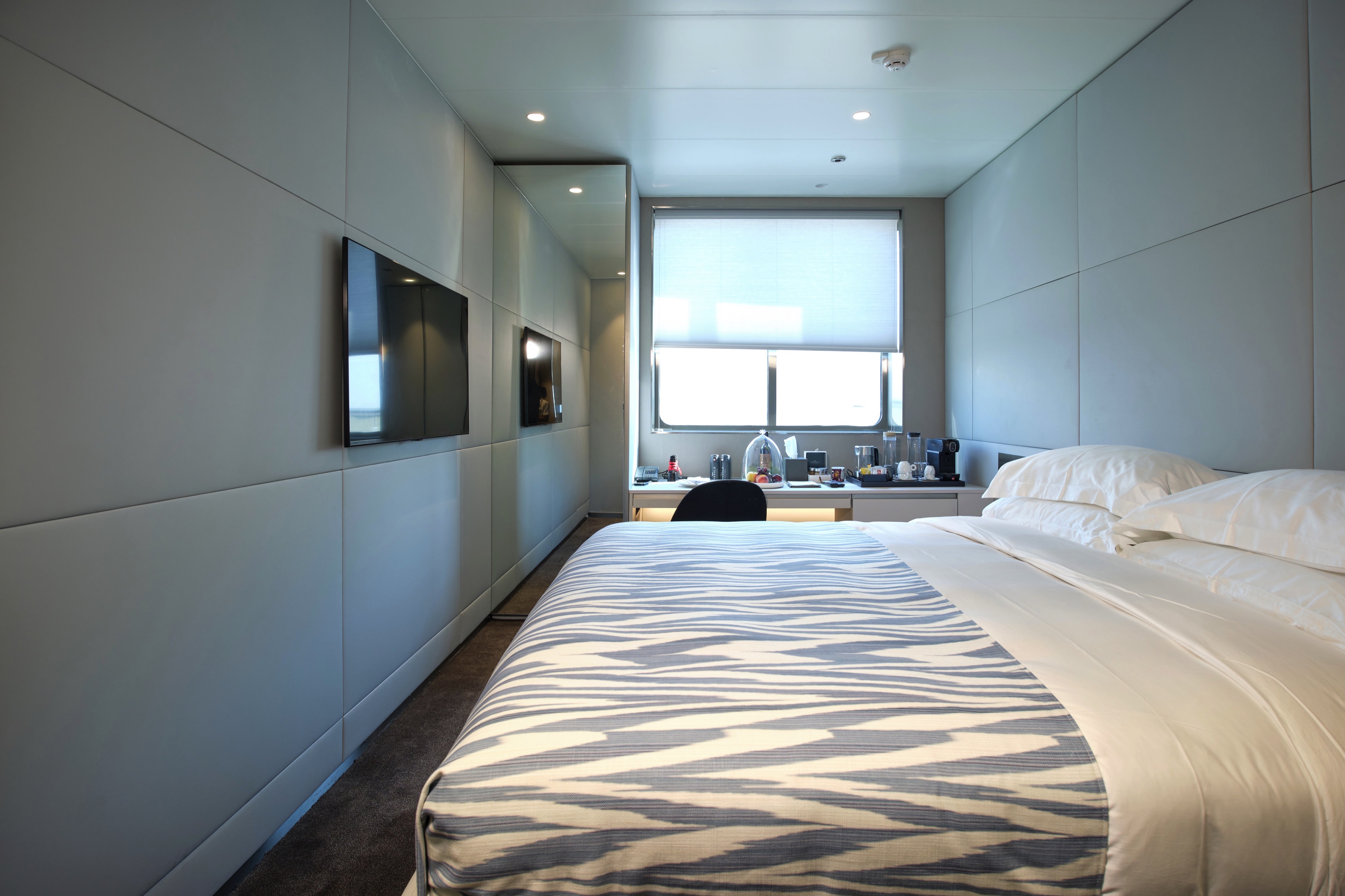
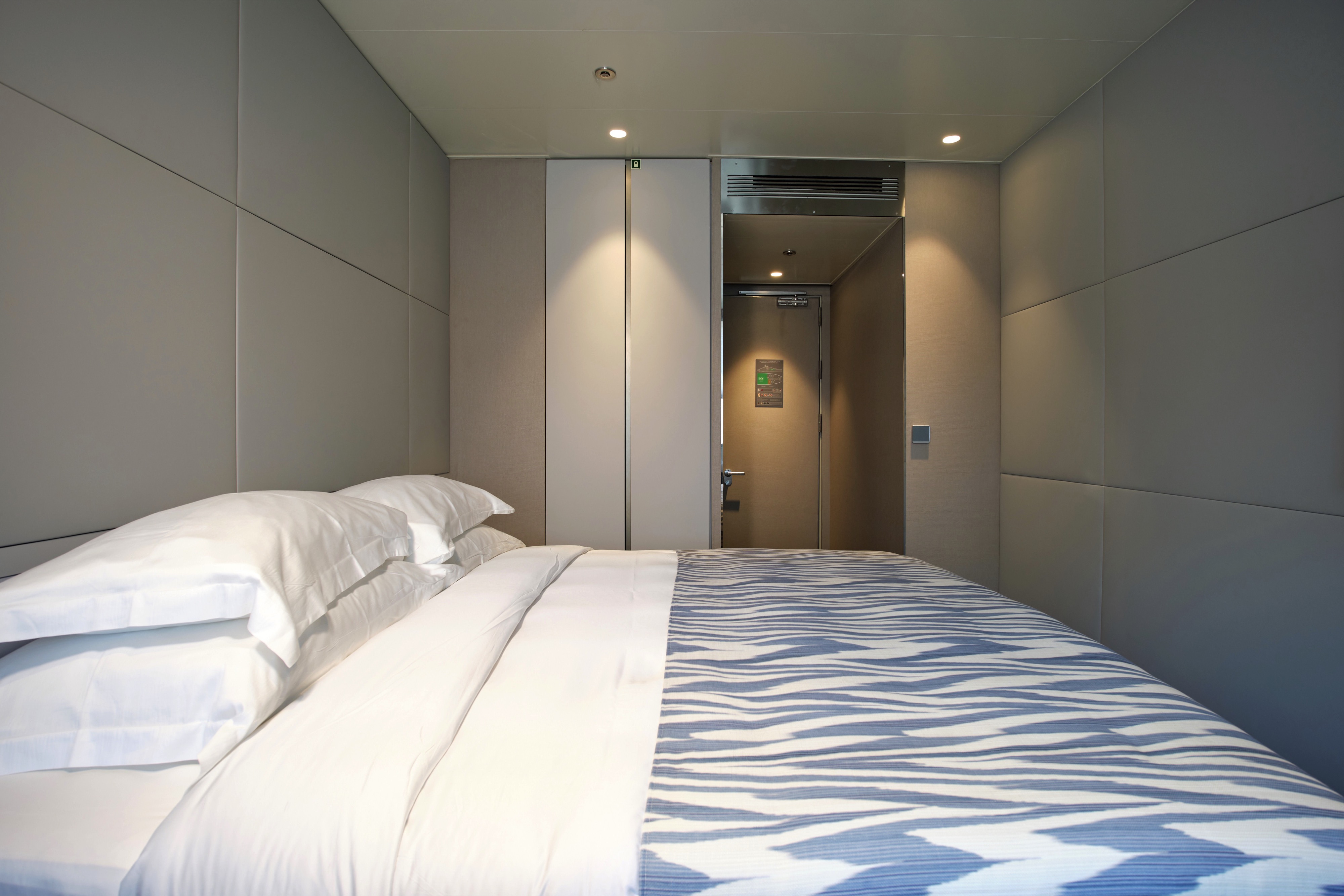
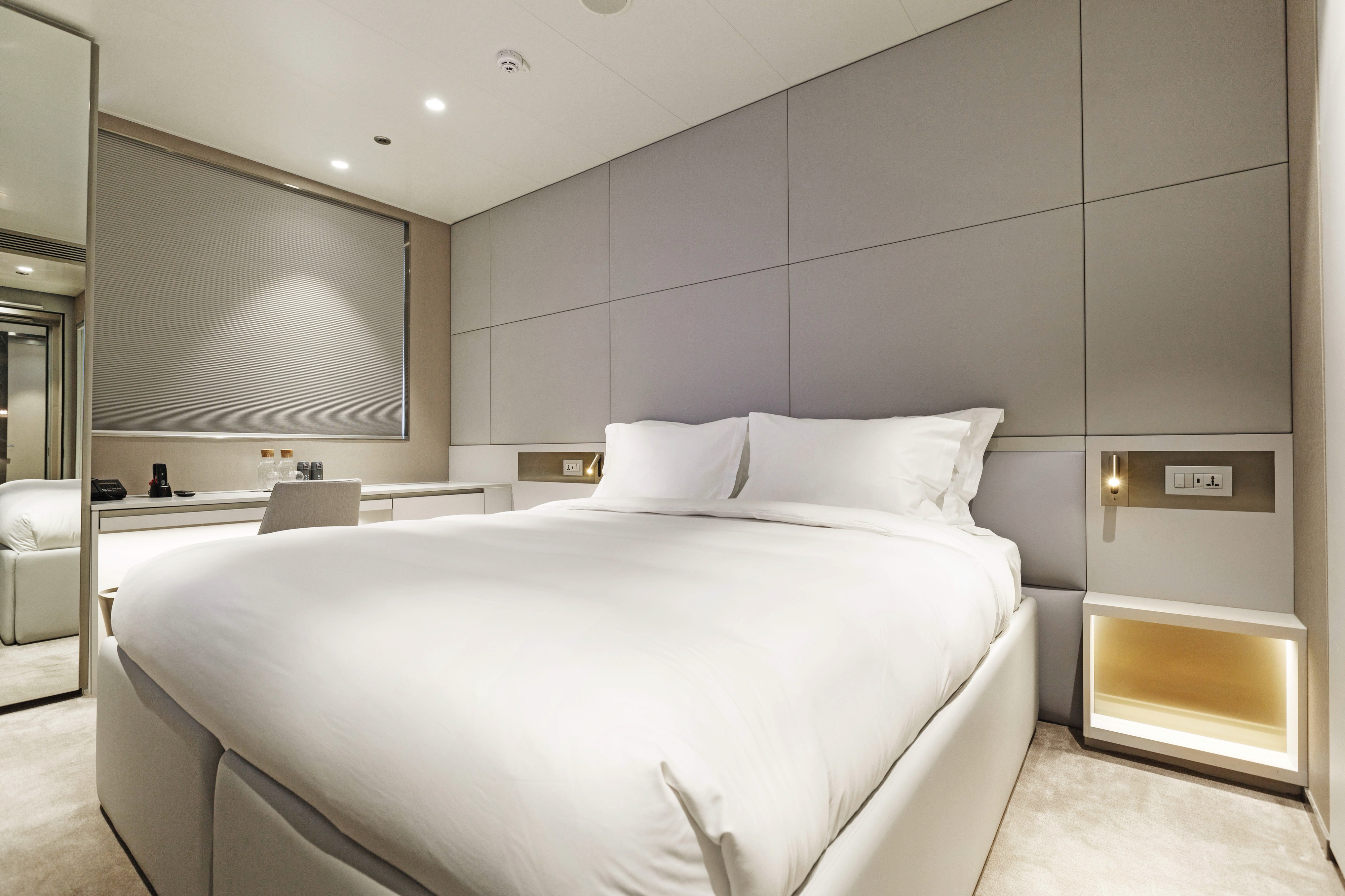
Situated on the Emerald Deck, towards the front of the yacht, our Oceanview Staterooms are bigger than the average standard, offering excellent value for money.
- An ocean-view window
- Queen-size or twin hotel-style beds with the finest Egyptian cotton linen
- Bathroom with shower, indulgent toiletries and hairdryer
- Complimentary bathrobes and slippers
- Complimentary water, restocked daily
- Flat screen HDTV and infotainment system
- Complimentary Wi-Fi
- Individual climate control
- Mini-bar
- Personal safe
- Umbrella
- Telephone
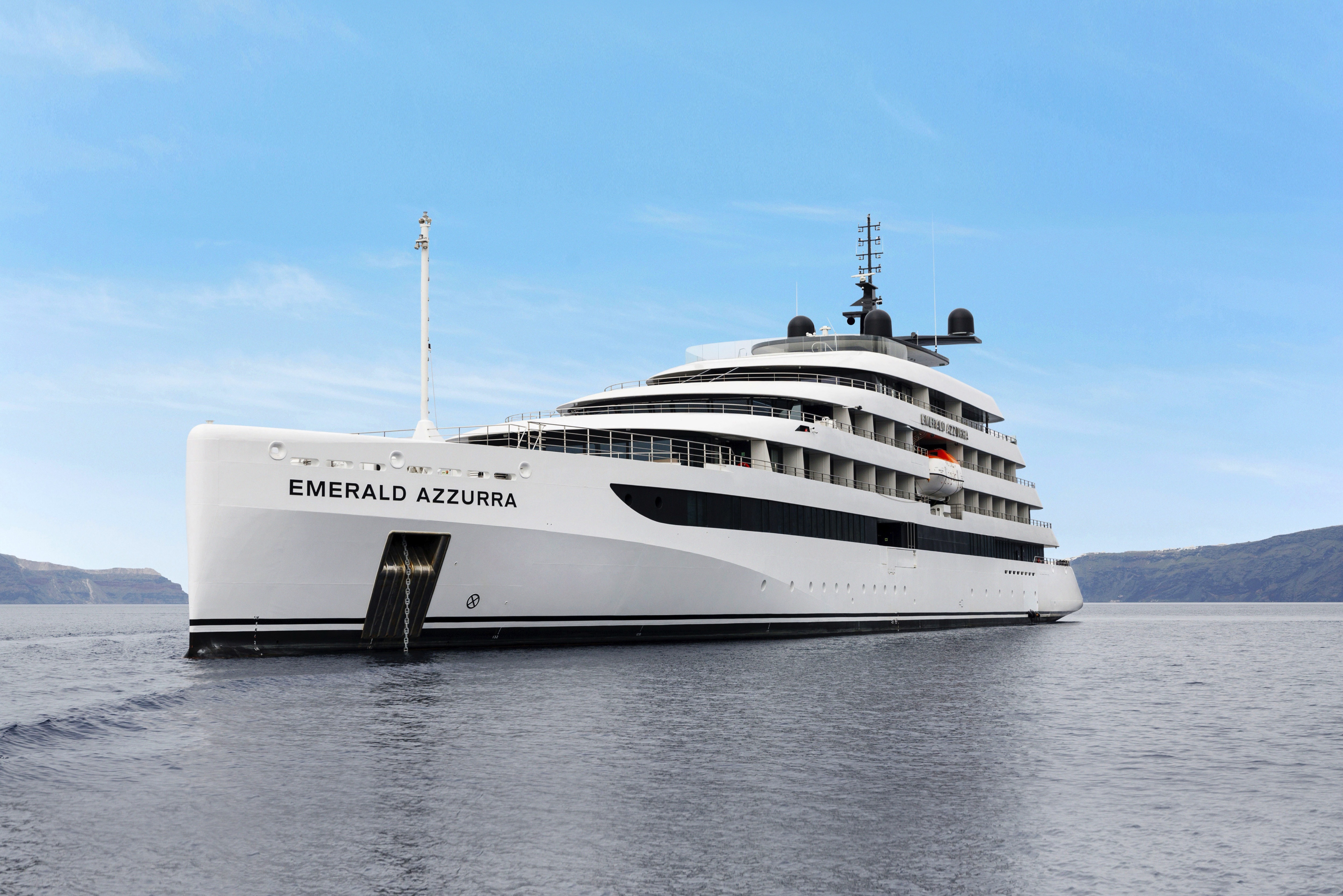
Emerald Azzurra
Enjoy the perfect small cruise ship experience on board our groundbreaking luxury yacht, Emerald Azzurra. You’ll want for nothing as you relish in the lavish lifestyle, sailing to stunning ports of call while our attentive staff caters to your every need.
Ship Facts
| Launch Year | 2022 | ||||||||
| Refit Year | |||||||||
| Language | en | ||||||||
| Gross Tonnage | 5297 | ||||||||
| Length | 110 | ||||||||
| Width | N/A | ||||||||
| Currency | EUR | ||||||||
| Speed | 22 | ||||||||
| Capacity | 100 | ||||||||
| Crew Count | 72 | ||||||||
| Deck Count | 6 | ||||||||
| Cabin Count | 50 | ||||||||
| Large Cabin Count | N/A | ||||||||
| Wheelchair Cabin Count | N/A | ||||||||
| Electrical Plugs |
|
Sky Deck
- Spa Pool
- Sky Bar
- Lifts

Pool Deck
- Lifts
- Aqua Café
- Aqua Pool
- Owner's Suite
- Deluxe Balcony Suite

Panorama Deck
- Navigation Bridge
- Life Boats
- Terrace Suite
- Balcony Suite
- Lifts

Observation Deck
- Observation Lounge
- Observation Terrace
- Self-service Laundry
- Yacht Suites
- Balcony Suites
- Lifts

Emerald Deck
- Amici Bar & Lounge
- Reception
- Boutique Azzurra
- La Cucina Terrace
- La Cucina Dining
- Oceanview Staterooms
- Lifts

Wellness Deck
- Medical Centre
- Gym
- Infrared Sauna
- Elements Spa
- Hairdressers
- Tender Boats
- Water Sports Boat
- Garage
- Marina Platform
- Lifts

Enjoy the most delectable dishes in the opulent surrounds of the La Cucina Dining. Let the tastes of freshly sourced ingredients on your palate, and enjoy complimentary beverages with each meal.
La Cucina
Enjoy the most delectable dishes in the opulent surrounds of the La Cucina Dining. Let the tastes of freshly sourced ingredients on your palate, and enjoy complimentary beverages with each meal.
La Cucina Terrace
If you prefer to dine alfresco, head to the La Cucina Terrace.
From the chilled and relaxed vibe of the Amici Bar & Lounge to the open-air surrounds of the Pool Deck and the serene Observation Lounge, you’ll find plenty of spaces on board to enjoy the company of new-found friends or to take a moment for yourself.
Amici Bar & Lounge
At the Amici Bar & Lounge, grab your morning coffee or meet friends here in the evenings for your favourite drink and some entertainment.
Observation Lounge
Head to the Observation Deck area for spectacular views or a morning yoga session. In the Observation Lounge, sit back and relax with a good book or play a game of chess.
Sky Deck
Enjoy a drink from the Sky Bar, relax on the plush seating, or take a dip in the bubbling Spa pool.
Aqua Pool & Café
Take in the views as you swim in the infinity-style Aqua Pool. Soak up the sun from the comfortable loungers or find some plush seating in the shade. Enjoy a coffee, scoop of gelato, or a freshly-made flatbread at the Aqua Pool Café.
Reception
The Reception can be found on the Emerald Deck next to the Boutique.