Explorers Grand Crossing
Explorers Grand Crossing
Cruise overview
WHY BOOK WITH US?
- ✔ The Deluxe Cruises’ team has extensive experience in ultra-luxury cruising.
- ✔ Call now to speak to our helpful and experienced Cruise Concierge team.
- ✔ Enjoy our Unique Deluxe Cruises Bonus for substantial savings.
- ✔ Our team will tailor your holiday to your exacting requirements.
- ✔ As agents, we work under the protection of each cruise lines ABTA / ATOL licences
About Civitavecchia
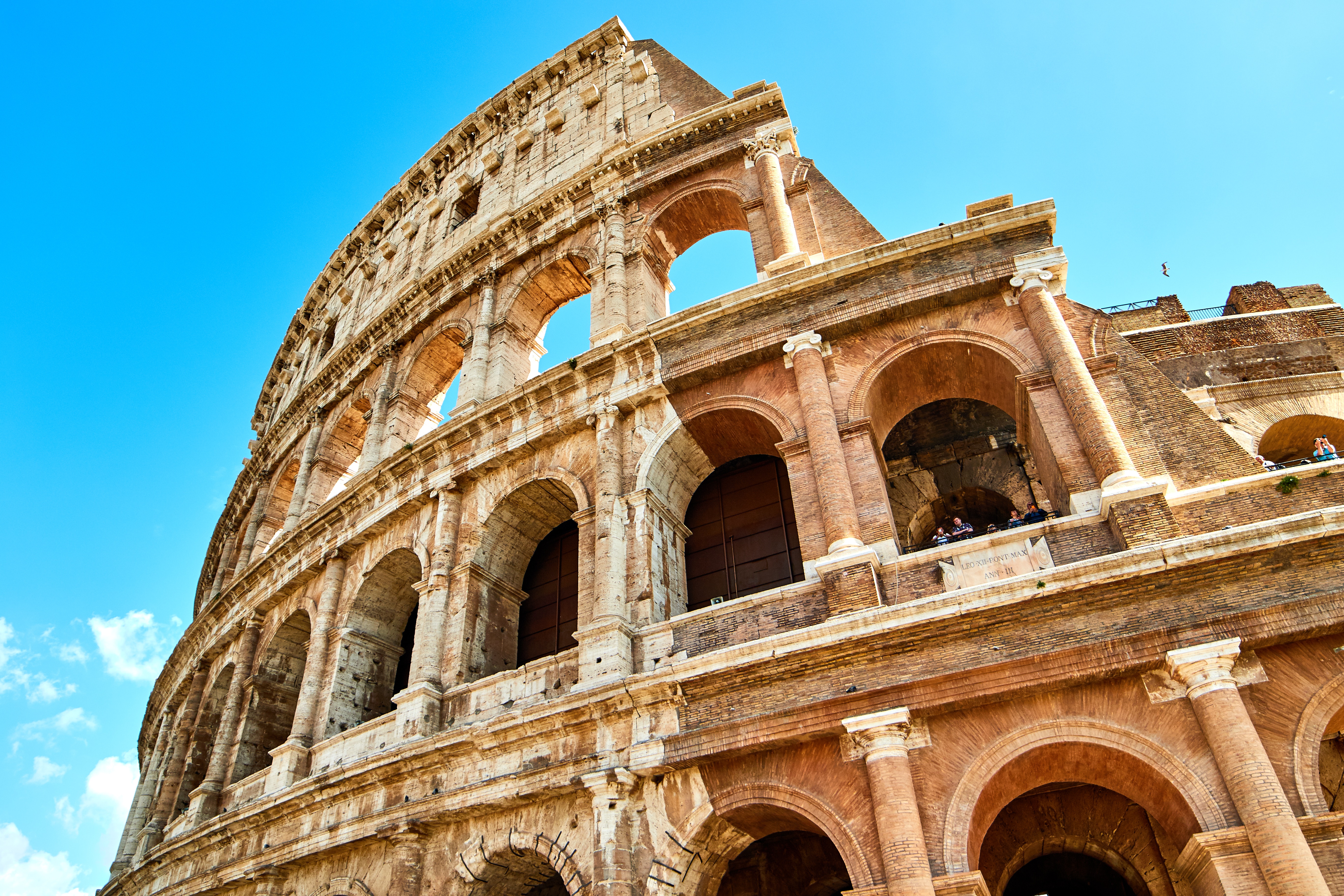
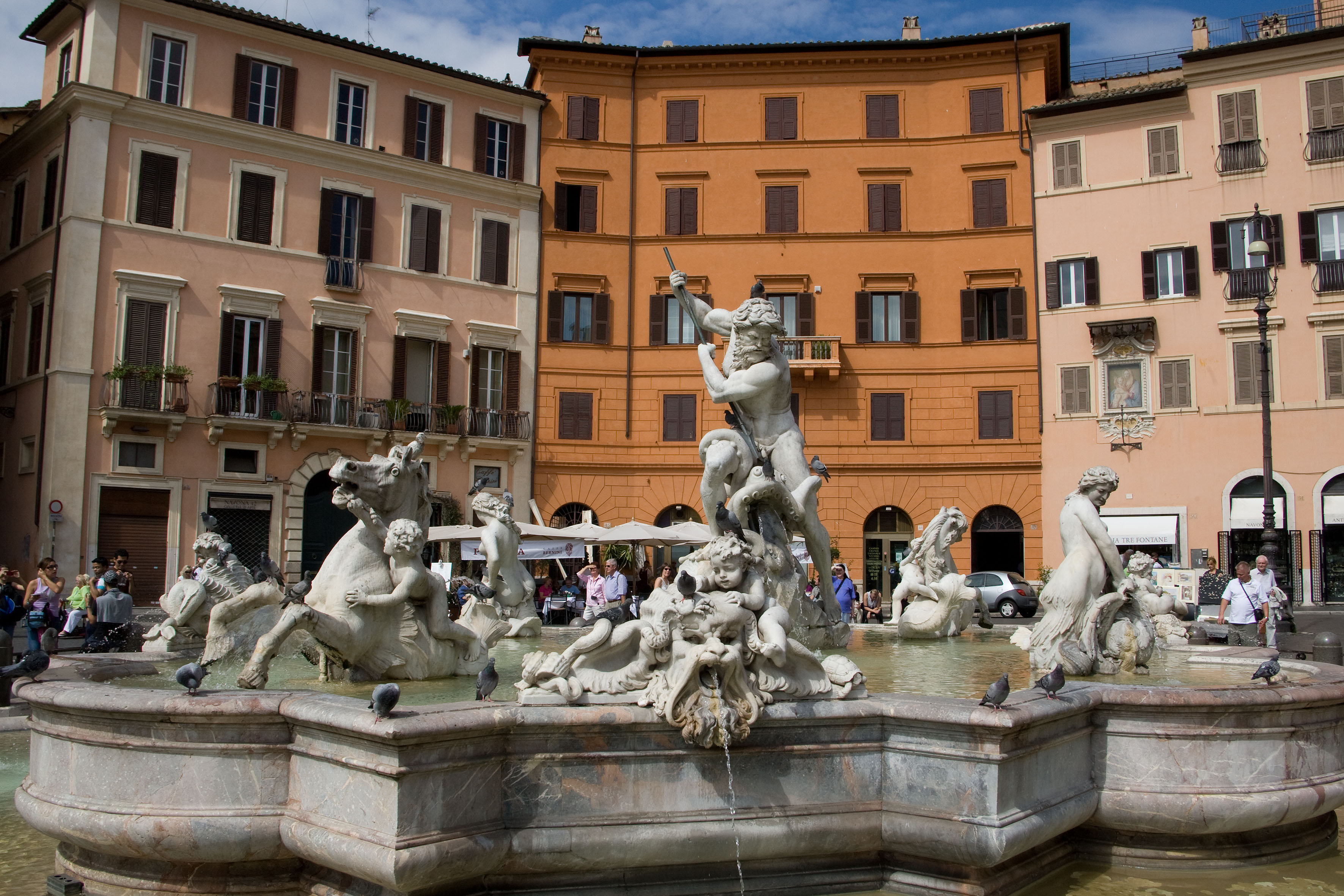
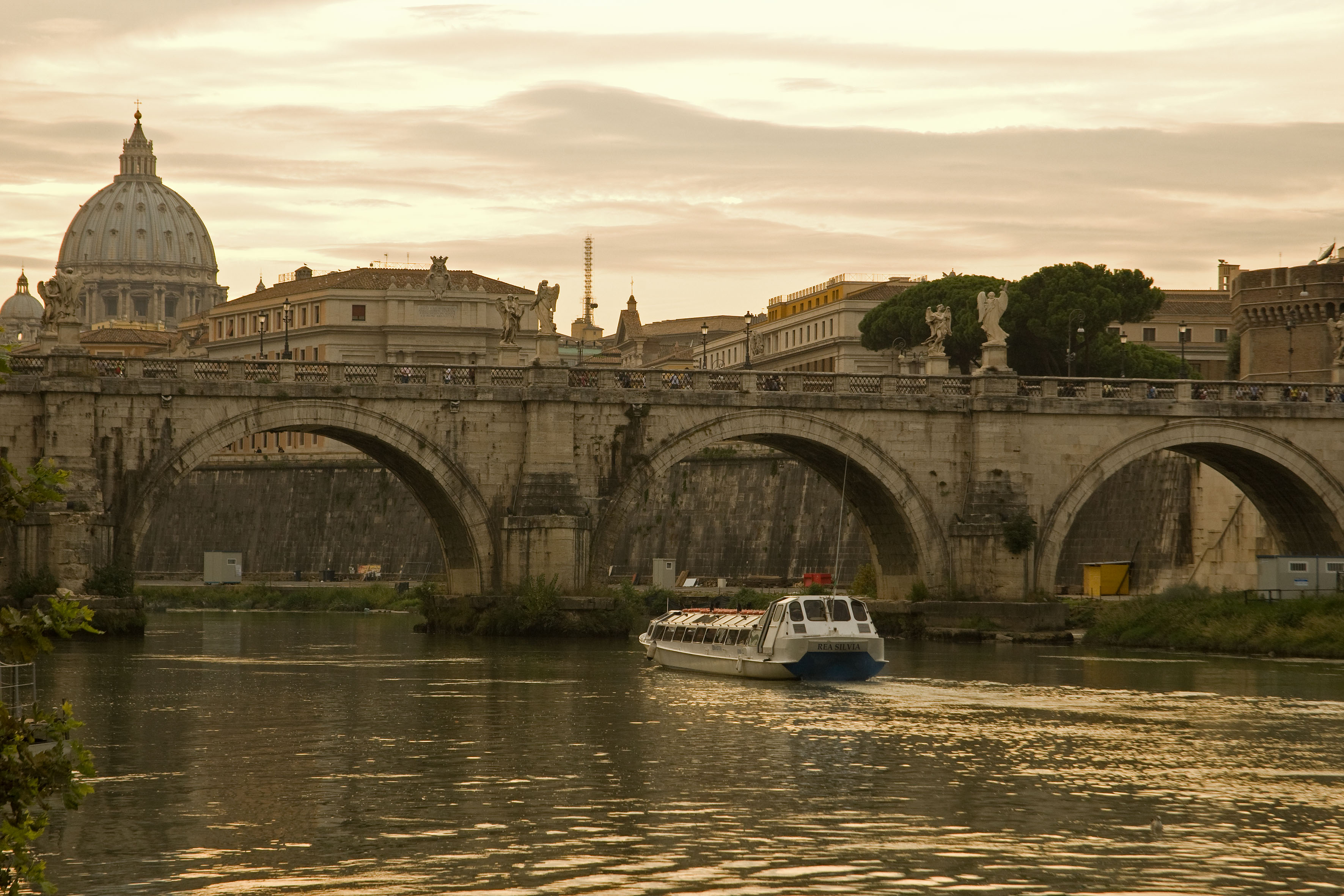
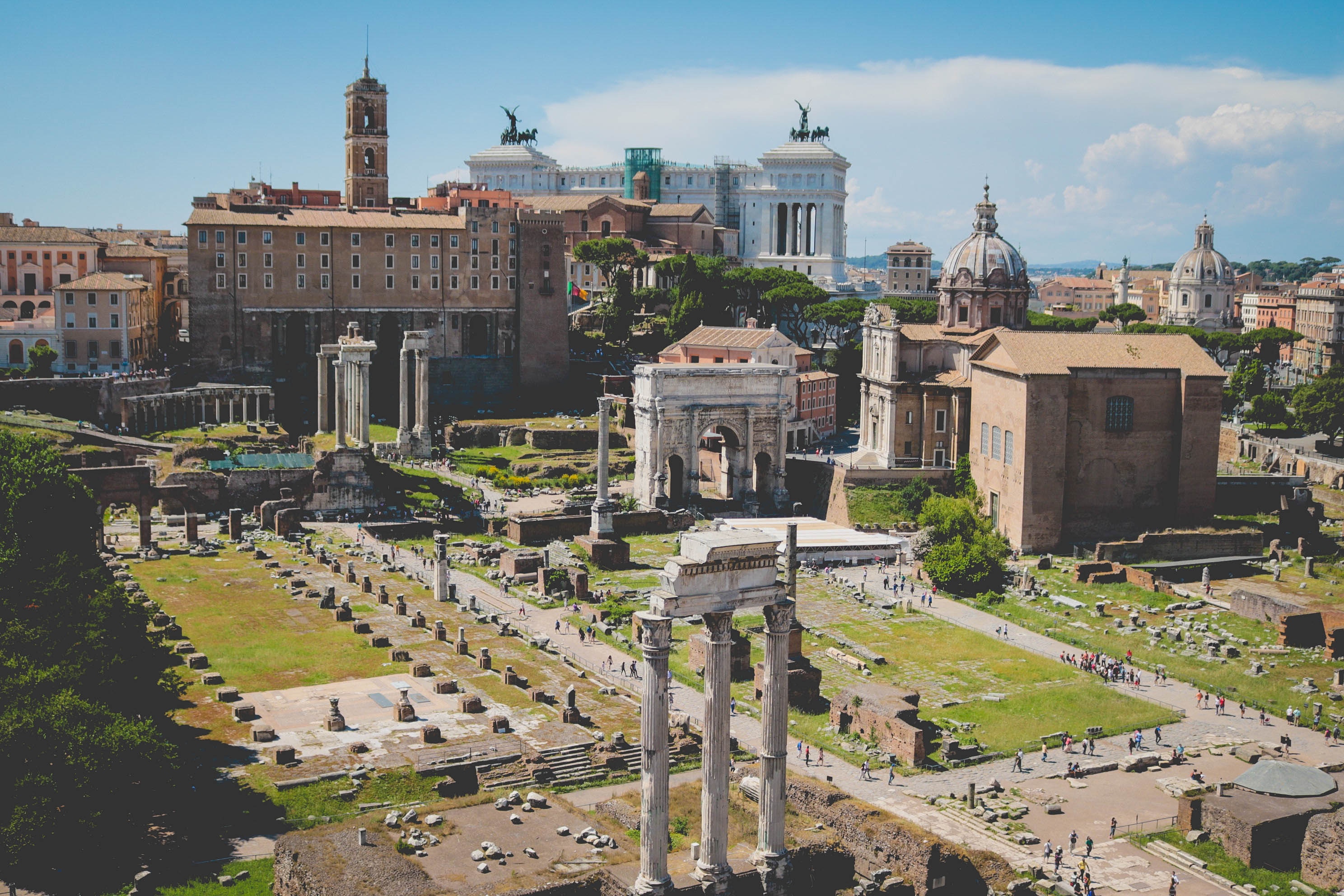
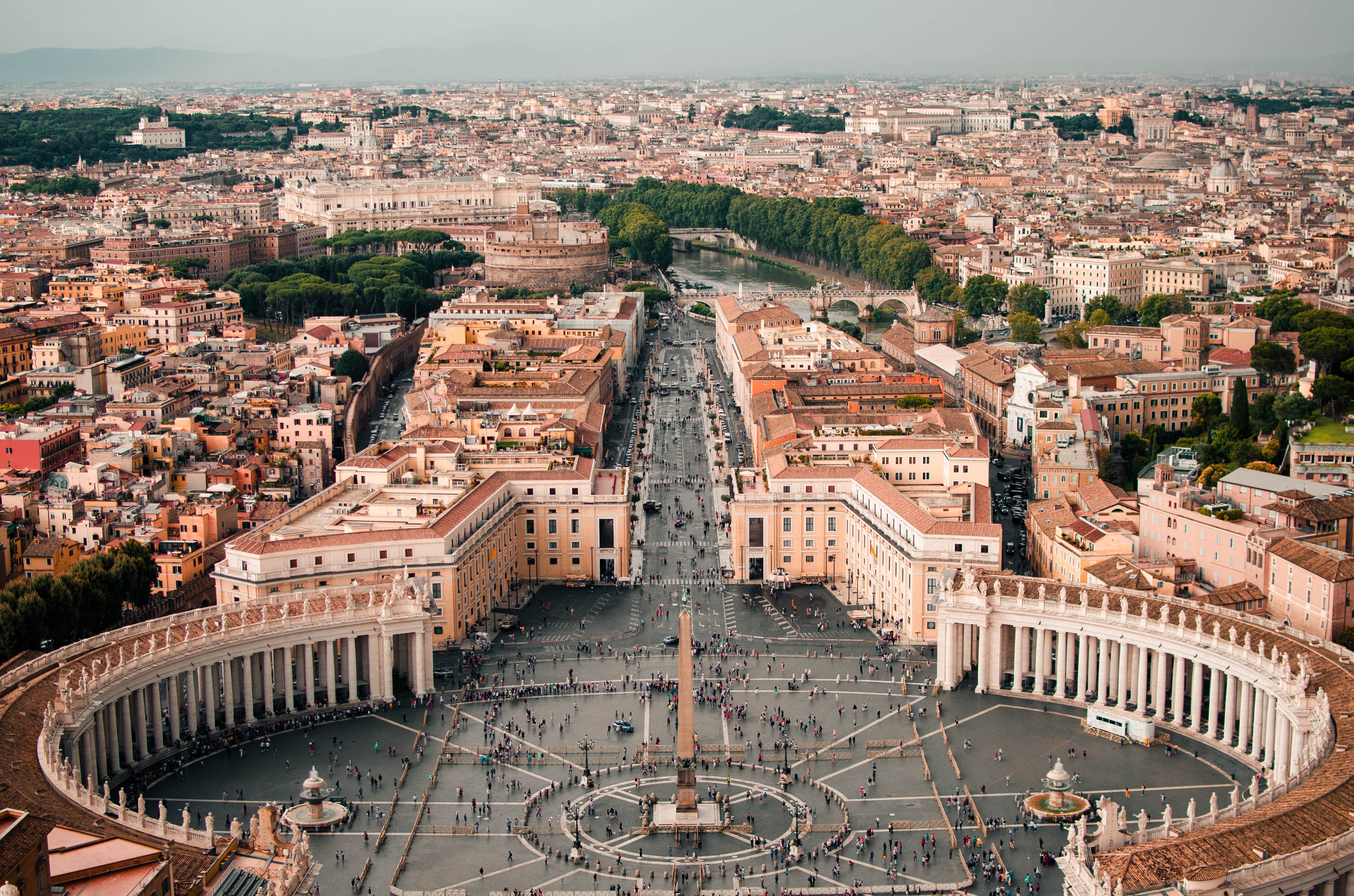
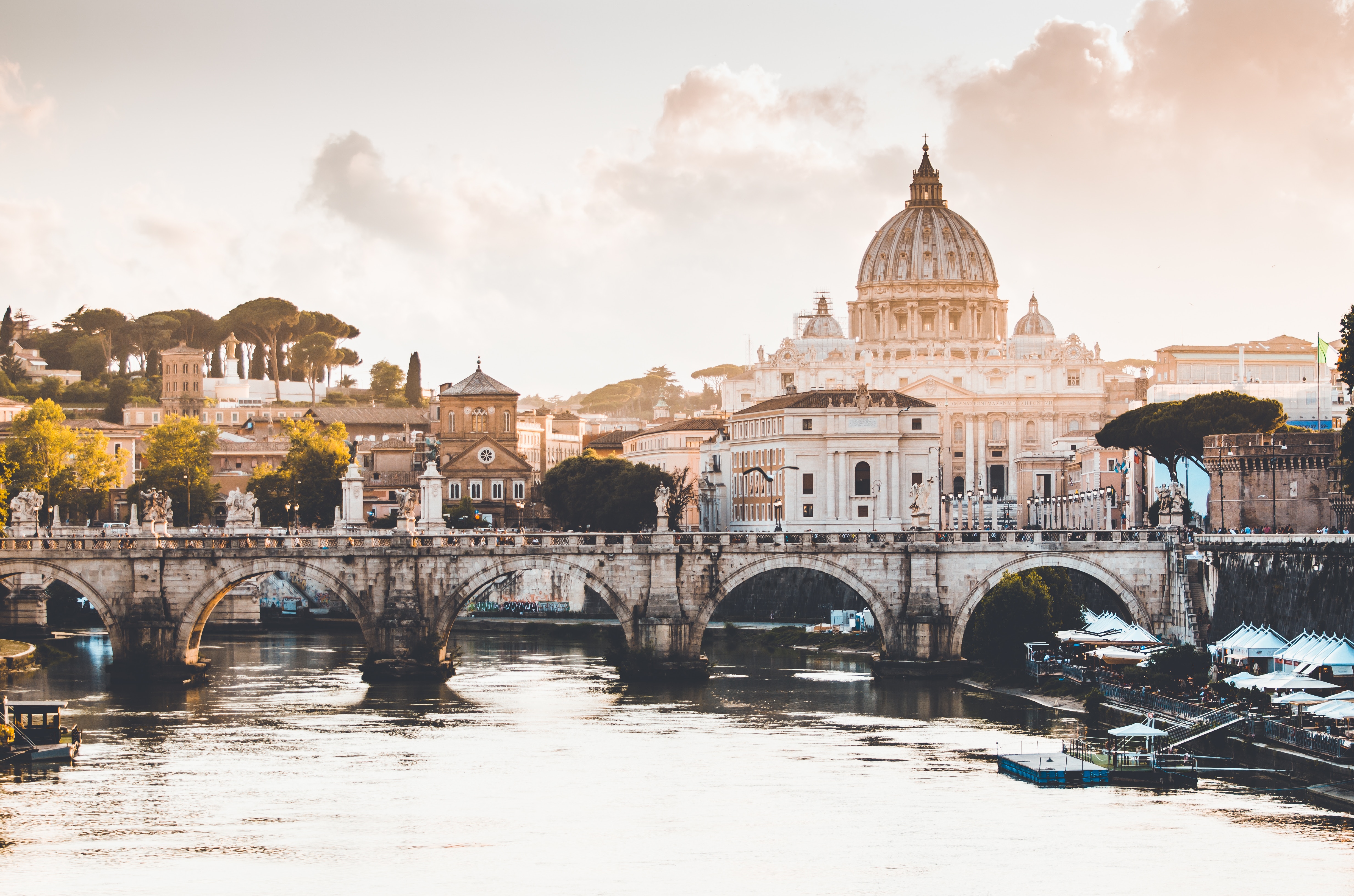
Italy's vibrant capital lives in the present, but no other city on earth evokes its past so powerfully. For over 2,500 years, emperors, popes, artists, and common citizens have left their mark here. Archaeological remains from ancient Rome, art-stuffed churches, and the treasures of Vatican City vie for your attention, but Rome is also a wonderful place to practice the Italian-perfected il dolce far niente, the sweet art of idleness. Your most memorable experiences may include sitting at a caffè in the Campo de' Fiori or strolling in a beguiling piazza.


About Salerno
Salerno is an Italian city located on the Gulf of Salerno. Famous for being home to the first medical university, Salerno is a great destination for anyone looking for gorgeous sea views filled with sunshine and Italian food.

About Taormina
The medieval cliff-hanging town of Taormina is overrun with tourists, yet its natural beauty is still hard to dispute. The view of the sea and Mt. Etna from its jagged cactus-covered cliffs is as close to perfection as a panorama can get—especially on clear days, when the snowcapped volcano's white puffs of smoke rise against the blue sky. Writers have extolled Taormina's beauty almost since it was founded in the 6th century BC by Greeks from nearby Naxos; Goethe and D. H. Lawrence were among its well-known enthusiasts. The town's boutique-lined main streets get old pretty quickly, but the many hiking paths that wind through the beautiful hills surrounding Taormina promise a timeless alternative. A trip up to stunning Castelmola (whether on foot or by car) should also be on your itinerary.


About Valletta
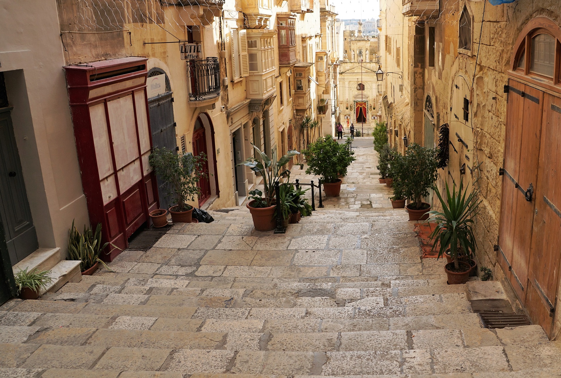
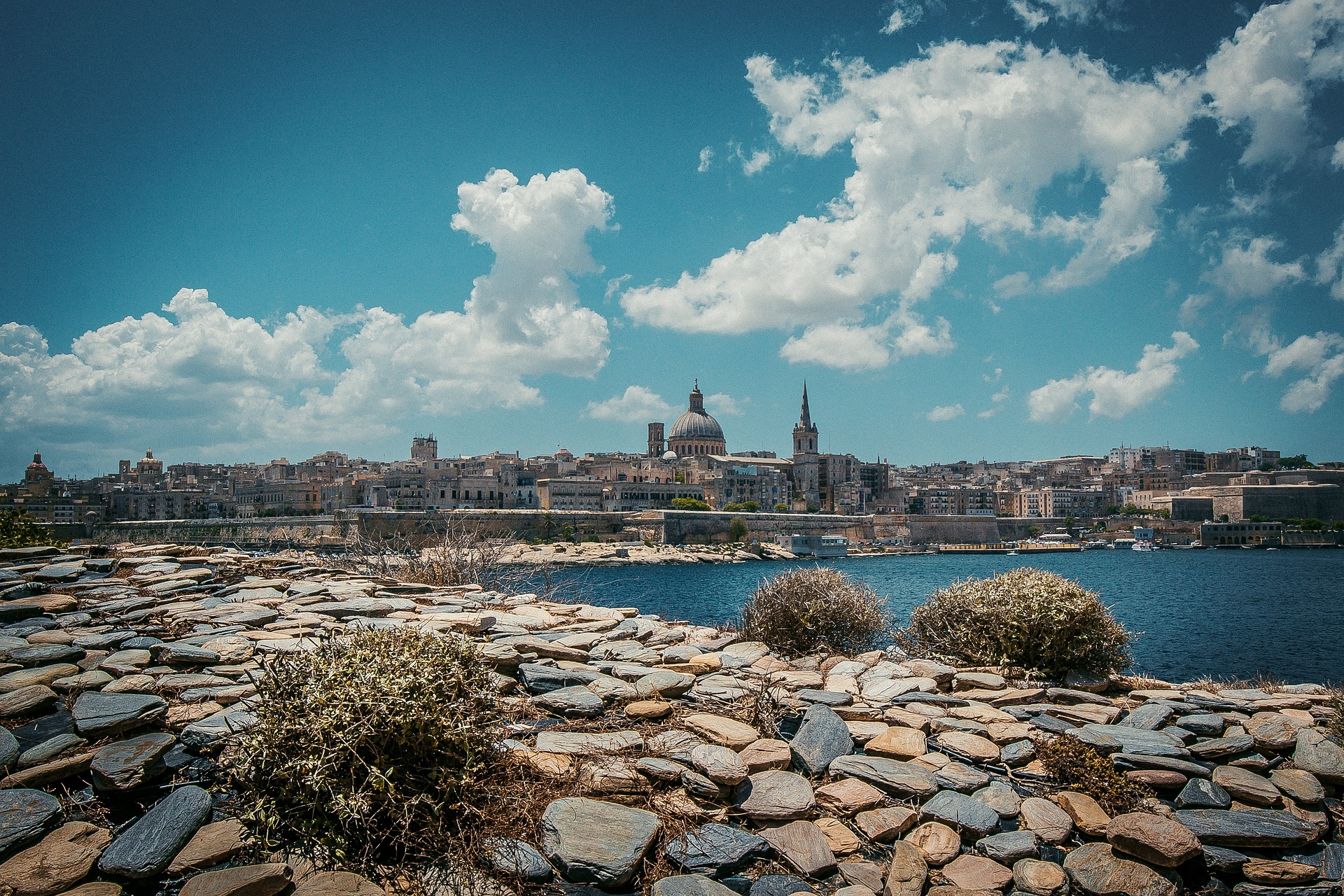
Malta's capital, the minicity of Valletta, has ornate palaces and museums protected by massive fortifications of honey-color limestone. Houses along the narrow streets have overhanging wooden balconies for people-watching from indoors. Generations ago they gave housebound women a window on the world of the street. The main entrance to town is through the City Gate (where all bus routes end), which leads onto Triq Repubblika (Republic Street), the spine of the grid-pattern city and the main shopping street. Triq Mercante (Merchant Street) parallels Repubblika to the east and is also good for strolling. From these two streets, cross streets descend toward the water; some are stepped. Valletta's compactness makes it ideal to explore on foot. City Gate and the upper part of Valletta are experiencing vast redevelopment that includes a new Parliament Building and open-air performance venue. The complex, completed mid-2013, has numerous pedestrian detours in place along with building noise and dust. Before setting out along Republic Street, stop at the tourist information office on Merchant Street for maps and brochures.




About Ibiza
Hedonistic and historic, Eivissa (Ibiza, in Castilian) is a city jam-packed with cafés, nightspots, and trendy shops; looming over it are the massive stone walls of Dalt Vila —the medieval city declared a UNESCO World Heritage site in 1999—and its Gothic cathedral. Squeezed between the north walls of the old city and the harbor is Sa Penya, a long labyrinth of stone-paved streets that offer some of the city's best offbeat shopping, snacking, and exploring. The tourist information office on Vara de Rey has a useful map of walks through the old city.


About Valencia
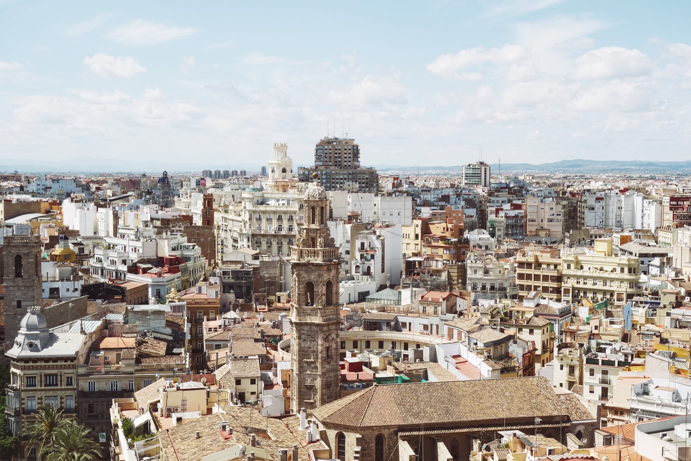
Valencia, Spain's third-largest municipality, is a proud city with a thriving nightlife and restaurant scene, quality museums, and spectacular contemporary architecture, juxtaposed with a thoroughly charming historic quarter, making it a popular destination year in year out. During the Civil War, it was the last seat of the Republican Loyalist government (1935–36), holding out against Franco’s National forces until the country fell to 40 years of dictatorship. Today it represents the essence of contemporary Spain—daring design and architecture along with experimental cuisine—but remains deeply conservative and proud of its traditions. Though it faces the Mediterranean, Valencia's history and geography have been defined most significantly by the River Turia and the fertile huerta that surrounds it.The city has been fiercely contested ever since it was founded by the Greeks. El Cid captured Valencia from the Moors in 1094 and won his strangest victory here in 1099: he died in the battle, but his corpse was strapped into his saddle and so frightened the besieging Moors that it caused their complete defeat. In 1102 his widow, Jimena, was forced to return the city to Moorish rule; Jaume I finally drove them out in 1238. Modern Valencia was best known for its frequent disastrous floods until the River Turia was diverted to the south in the late 1950s. Since then the city has been on a steady course of urban beautification. The lovely bridges that once spanned the Turia look equally graceful spanning a wandering municipal park, and the spectacularly futuristic Ciutat de les Arts i les Ciències (City of Arts and Sciences), most of it designed by Valencia-born architect Santiago Calatrava, has at last created an exciting architectural link between this river town and the Mediterranean. If you're in Valencia, an excursion to Albufera Nature Park is a worthwhile day trip.


About Barcelona
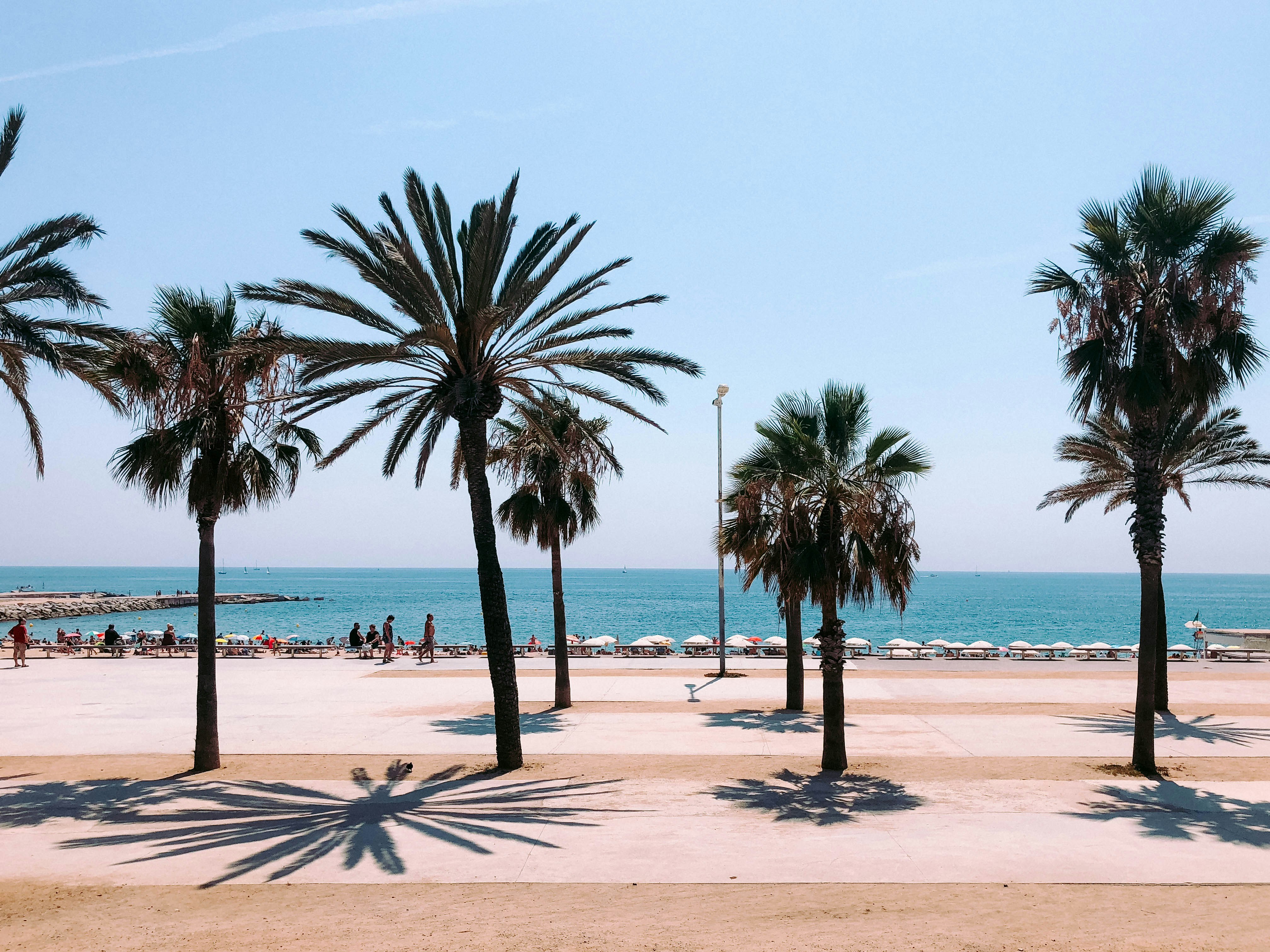
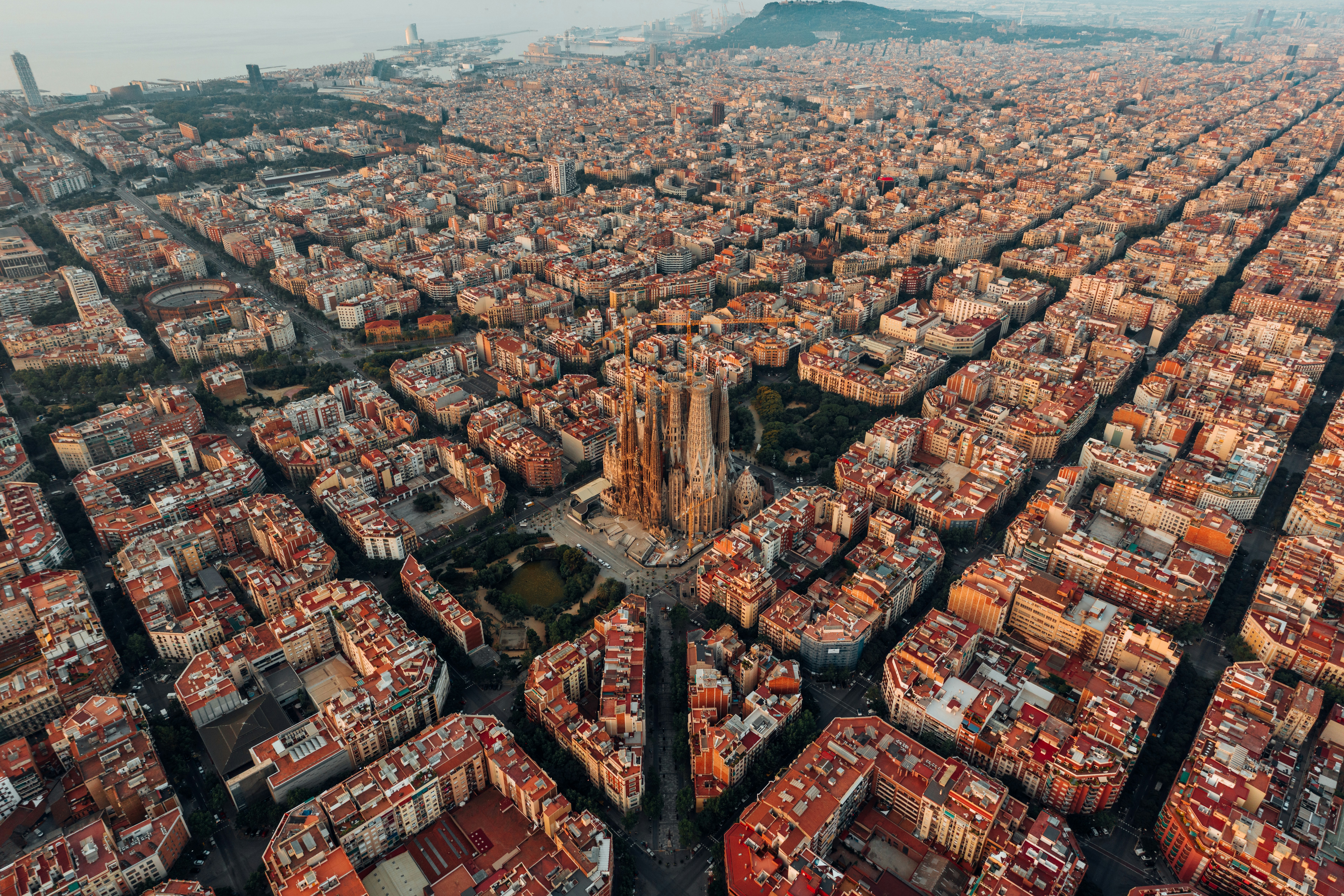
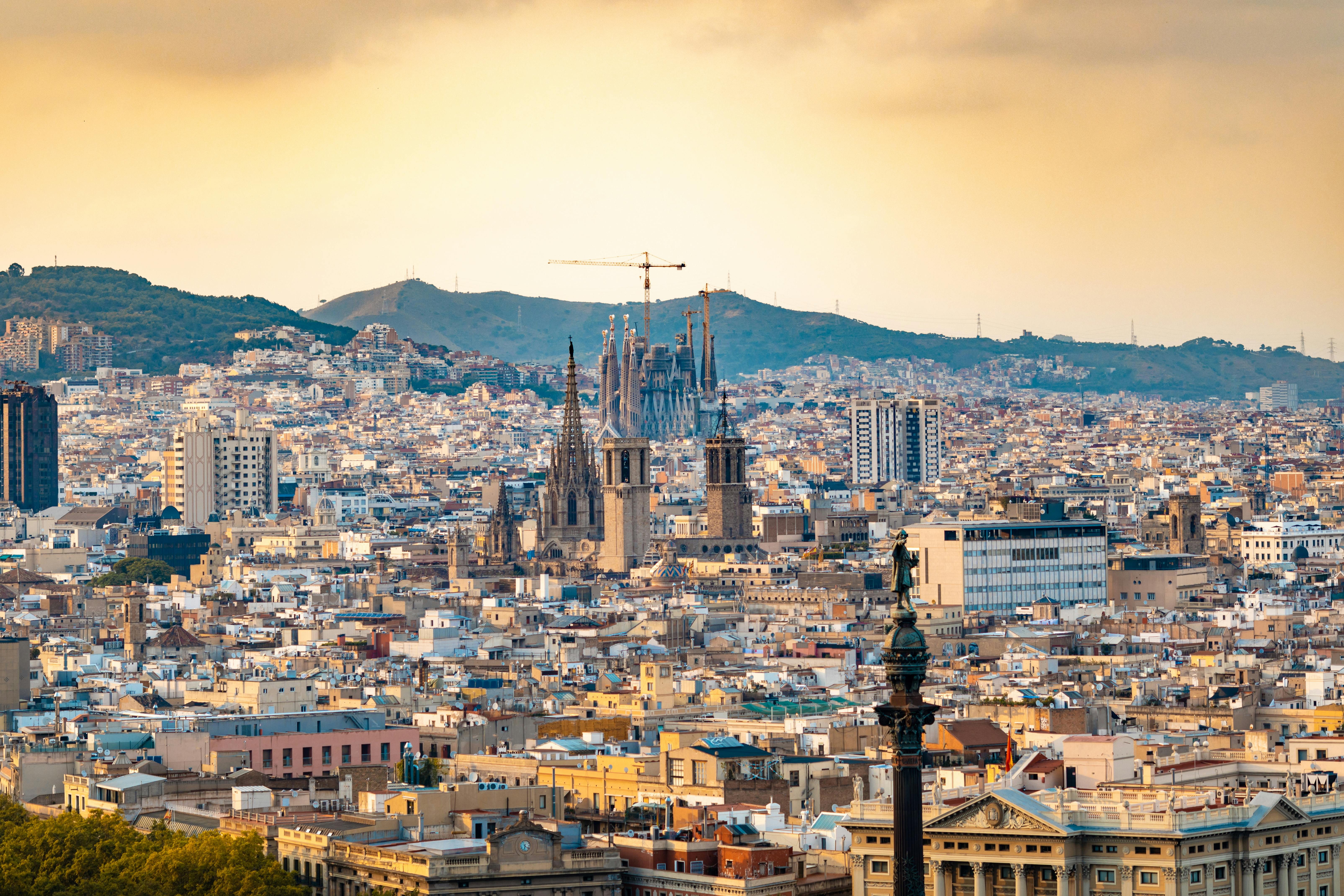
The infinite variety of street life, the nooks and crannies of the medieval Barri Gòtic, the ceramic tile and stained glass of Art Nouveau facades, the art and music, the throb of street life, the food (ah, the food!)—one way or another, Barcelona will find a way to get your full attention. The capital of Catalonia is a banquet for the senses, with its beguiling mix of ancient and modern architecture, tempting cafés and markets, and sun-drenched Mediterranean beaches. A stroll along La Rambla and through waterfront Barceloneta, as well as a tour of Gaudí's majestic Sagrada Famíliaand his other unique creations, are part of a visit to Spain's second-largest city. Modern art museums and chic shops call for attention, too. Barcelona's vibe stays lively well into the night, when you can linger over regional wine and cuisine at buzzing tapas bars.

About Marseille
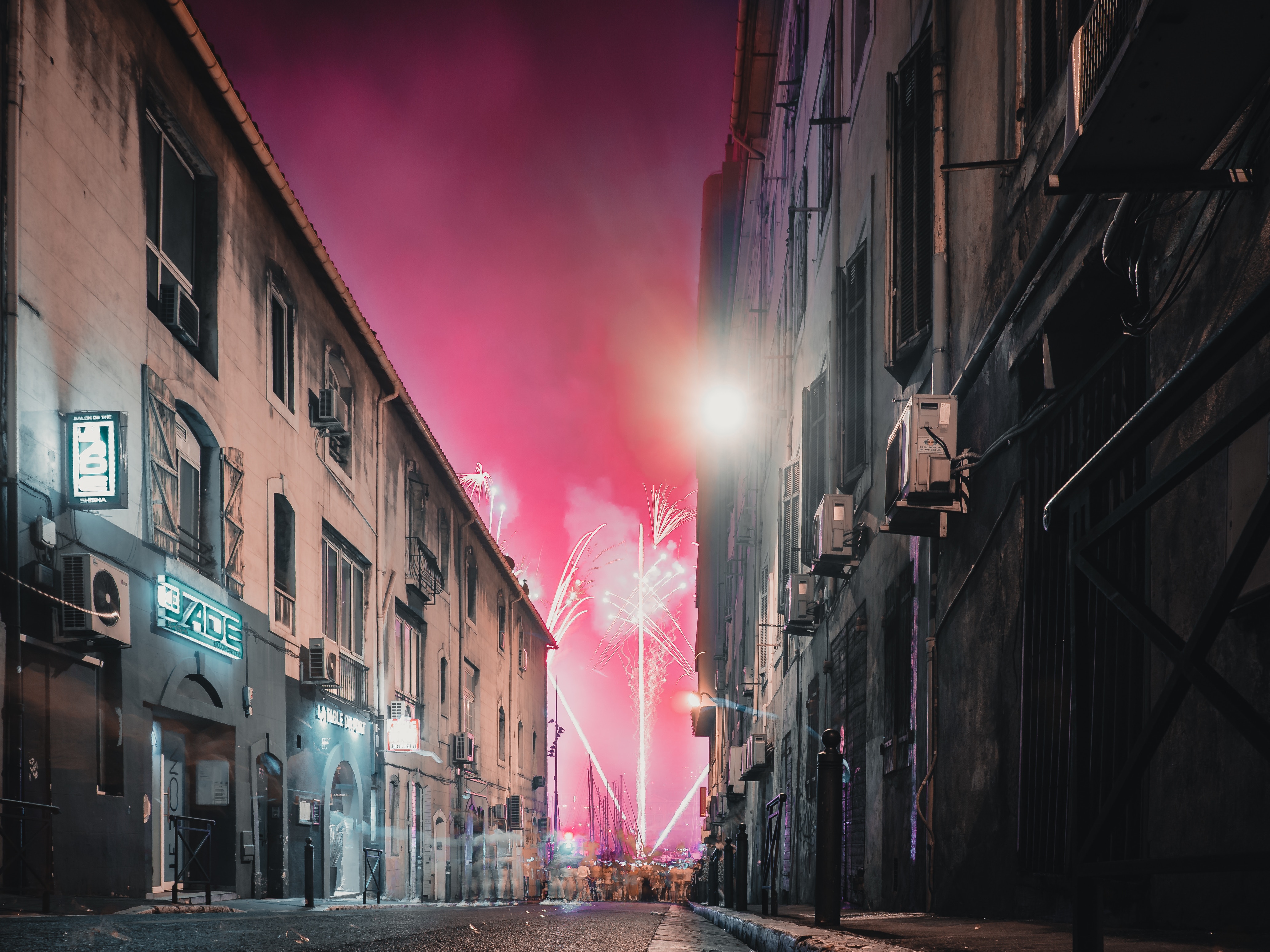
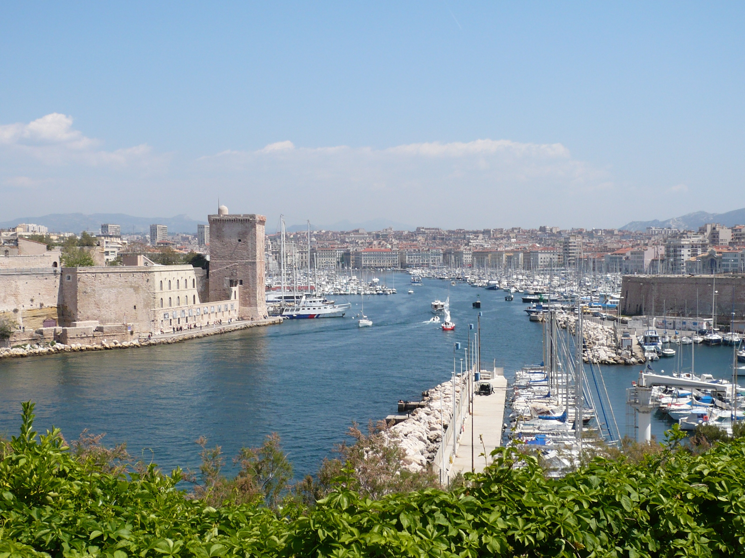
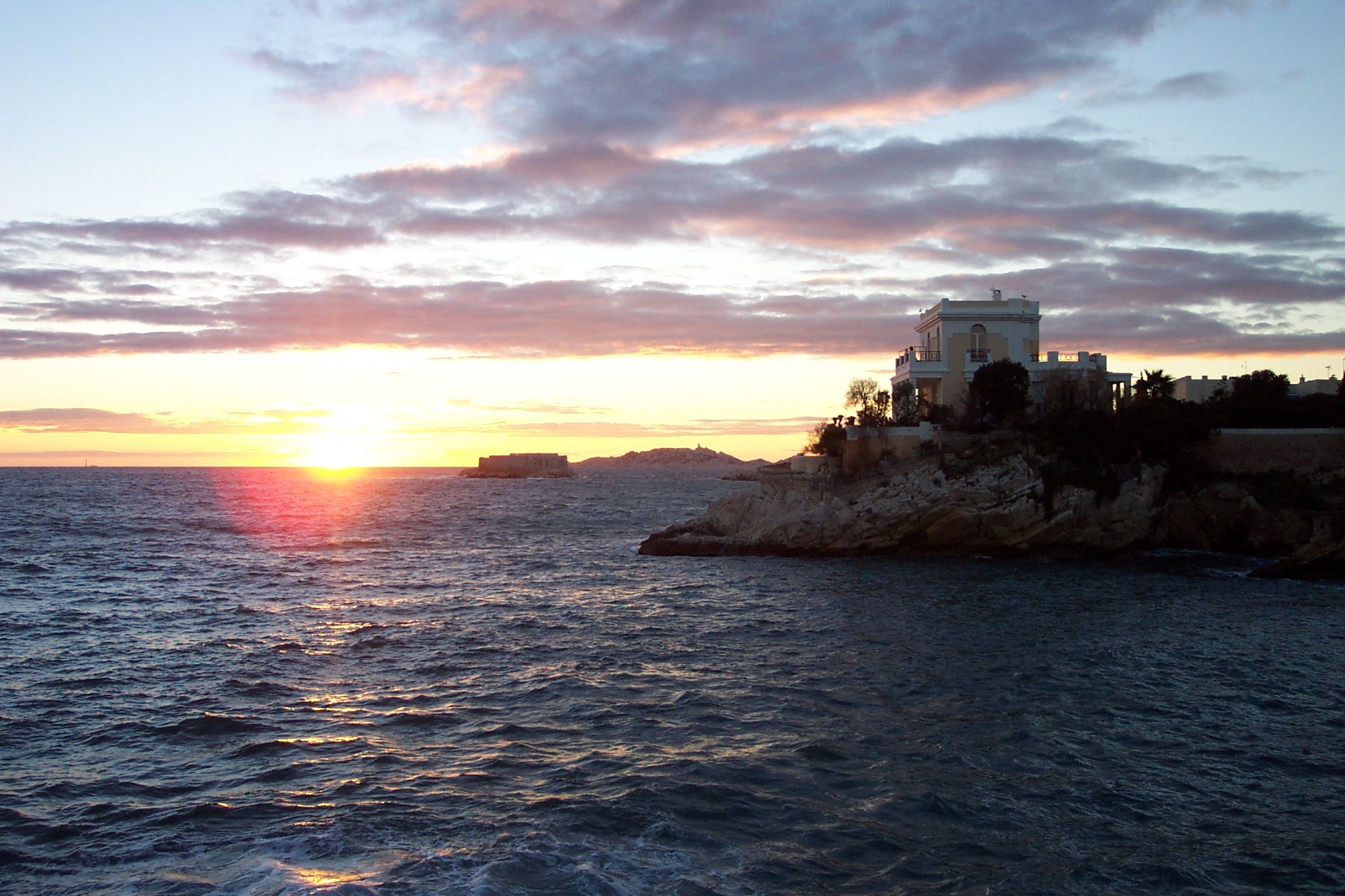
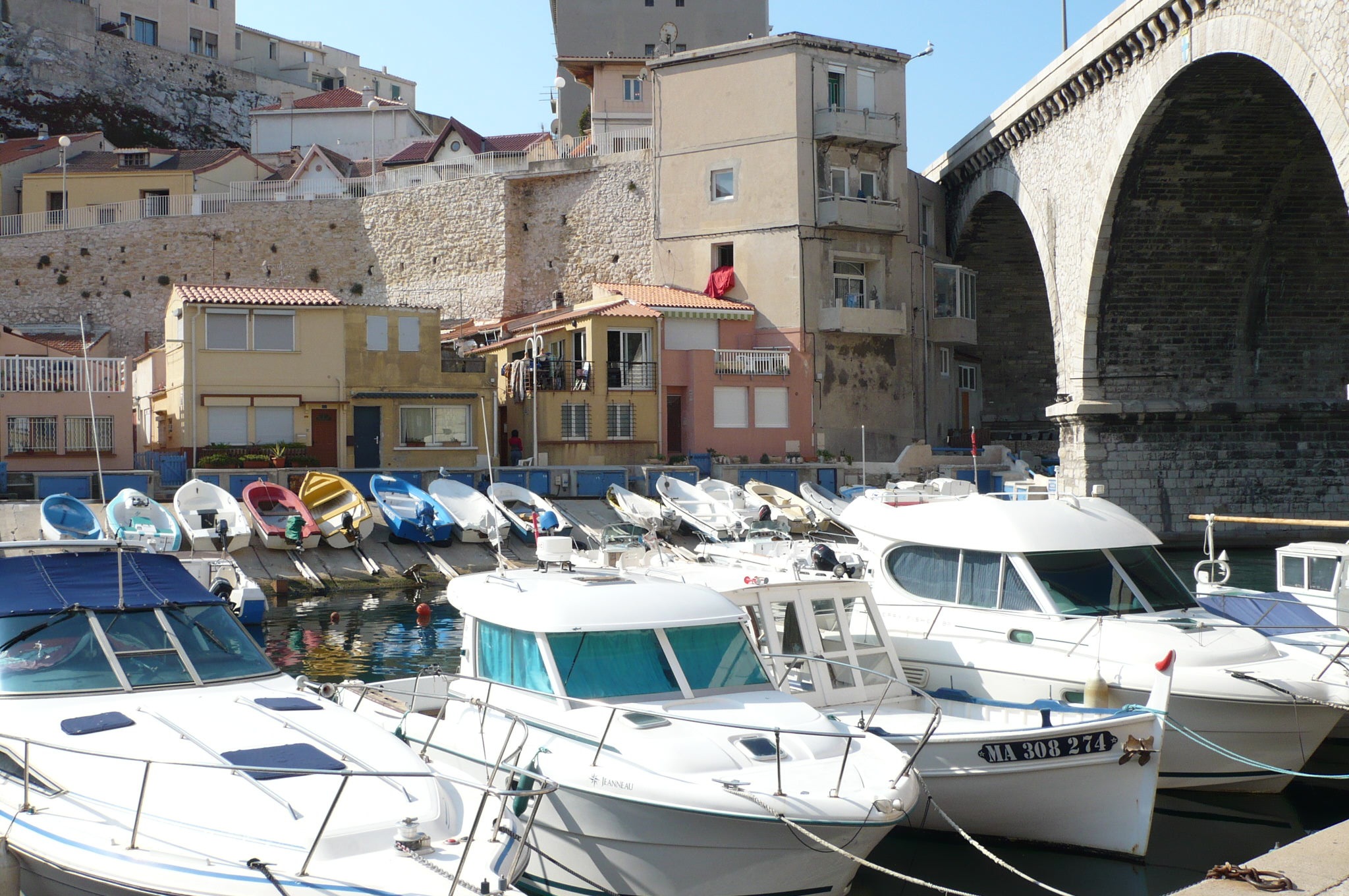
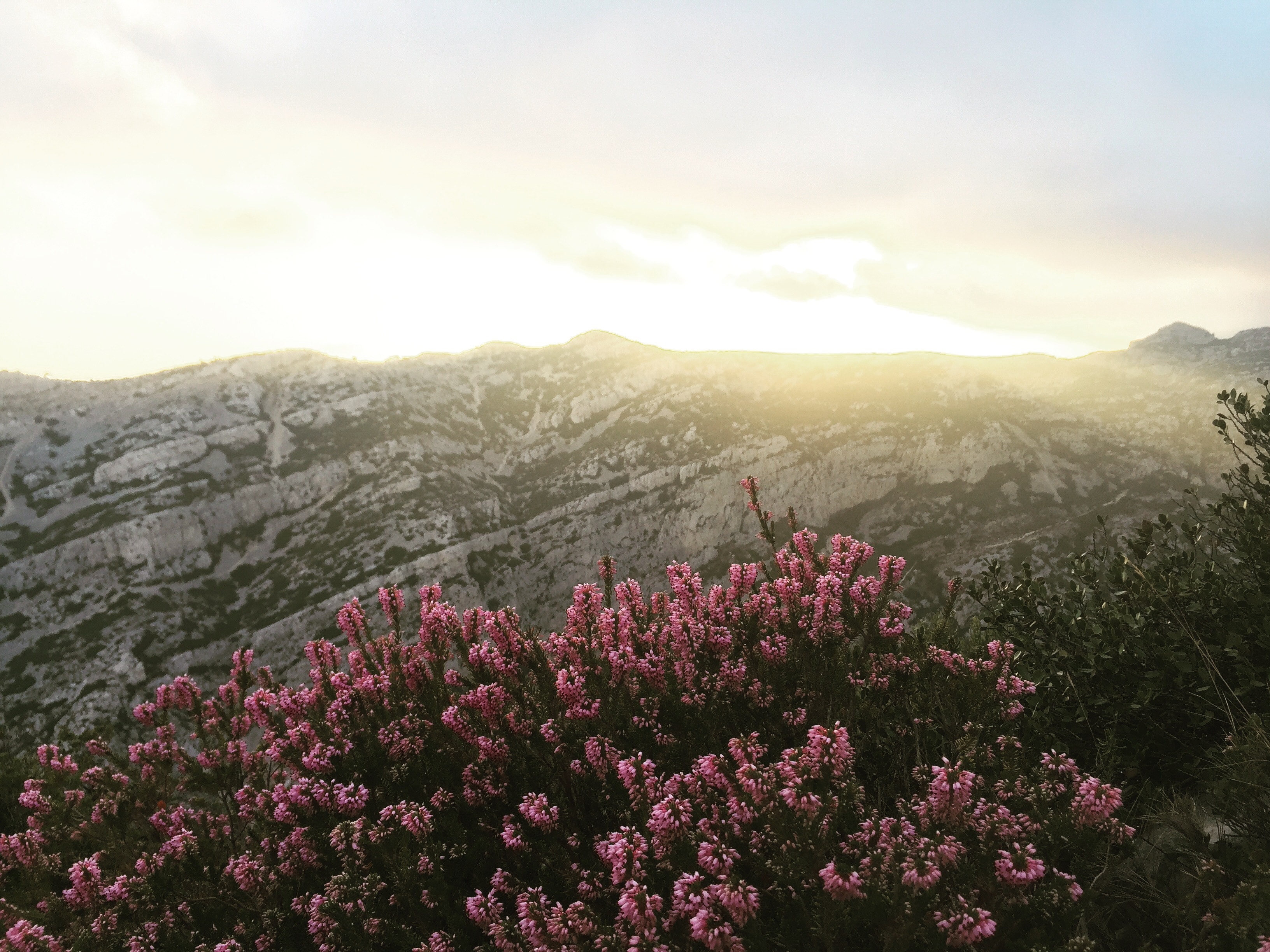
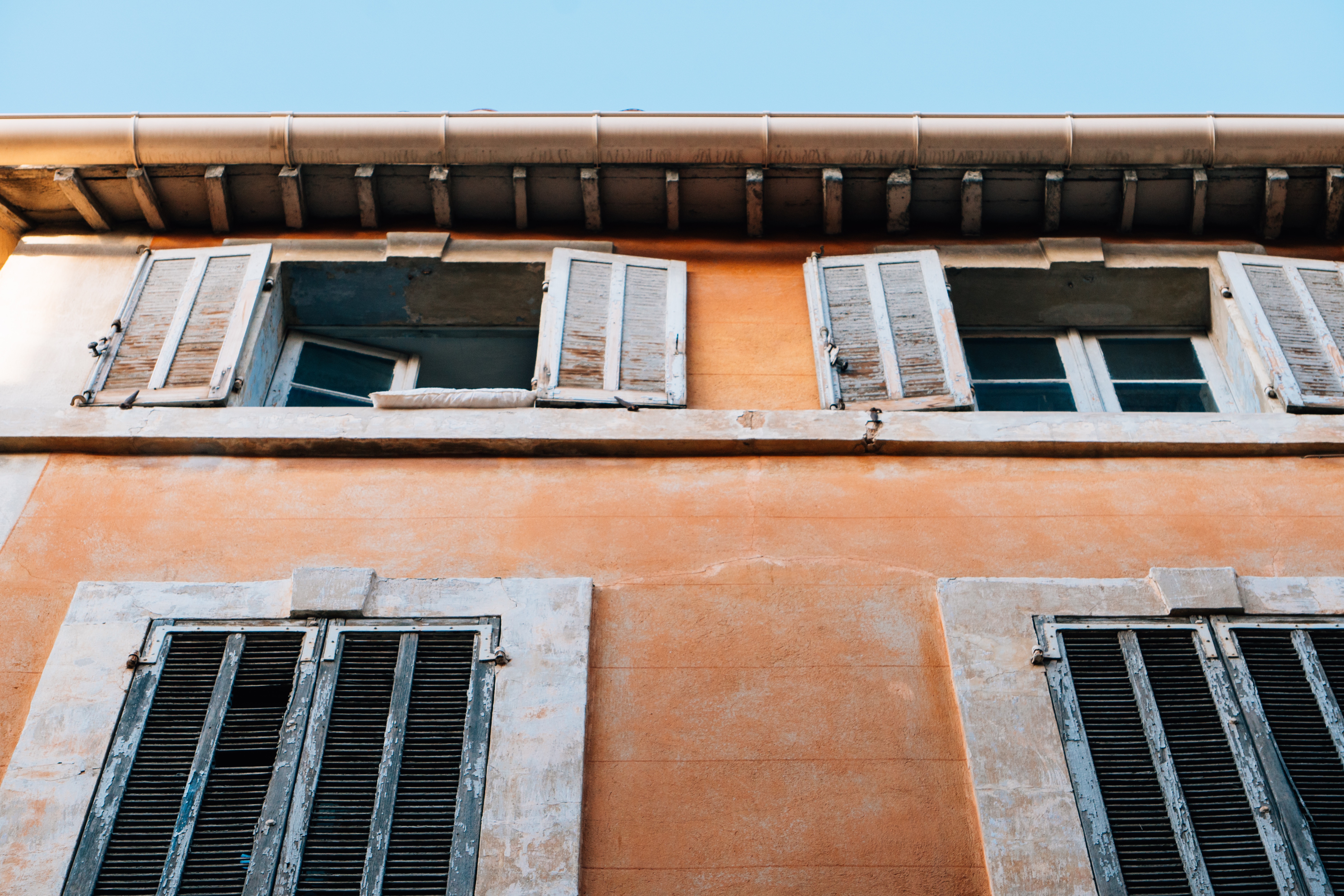
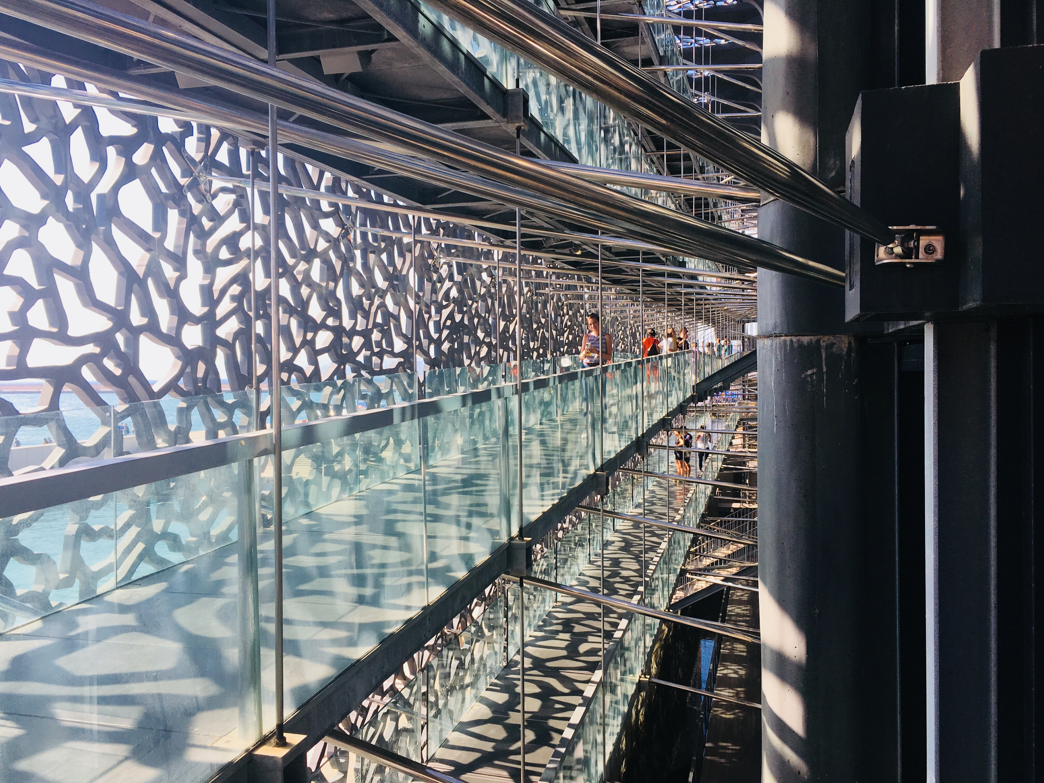
Since being designated a European Capital of Culture for 2013, with an estimated €660 million of funding in the bargain, Marseille has been in the throes of an extraordinary transformation, with no fewer than five major new arts centers, a beautifully refurbished port, revitalized neighborhoods, and a slew of new shops and restaurants. Once the underdog, this time-burnished city is now welcoming an influx of weekend tourists who have colonized entire neighborhoods and transformed them into elegant pieds-à-terre (or should we say, mer). The second-largest city in France, Marseille is one of Europe's most vibrant destinations. Feisty and fond of broad gestures, it is also as complicated and as cosmopolitan now as it was when a band of Phoenician Greeks first sailed into the harbor that is today's Vieux Port in 600 BC. Legend has it that on that same day a local chieftain's daughter, Gyptis, needed to choose a husband, and her wandering eyes settled on the Greeks' handsome commander Protis. Her dowry brought land near the mouth of the Rhône, where the Greeks founded Massalia, the most important Continental shipping port in antiquity. The port flourished for some 500 years as a typical Greek city, enjoying the full flush of classical culture, its gods, its democratic political system, its sports and theater, and its naval prowess. Caesar changed all that, besieging the city in 49 BC and seizing most of its colonies. In 1214 Marseille was seized again, this time by Charles d'Anjou, and was later annexed to France by Henri IV in 1481, but it was not until Louis XIV took the throne that the biggest transformations of the port began; he pulled down the city walls in 1666 and expanded the port to the Rive Neuve (New Riverbank). The city was devastated by plague in 1720, losing more than half its population. By the time of the Revolution, Marseille was on the rebound once again, with industries of soap manufacturing and oil processing flourishing, encouraging a wave of immigration from Provence and Italy. With the opening of the Suez Canal in 1869, Marseille became the greatest boomtown in 19th-century Europe. With a large influx of immigrants from areas as exotic as Tangiers, the city quickly acquired the multicultural population it maintains to this day.

About Cannes
Cannes is pampered with the luxurious year-round climate that has made it one of the most popular resorts in Europe. Cannes was an important sentinel site for the monks who established themselves on Île St-Honorat in the Middle Ages. Its bay served as nothing more than a fishing port until in 1834 an English aristocrat, Lord Brougham, fell in love with the site during an emergency stopover with a sick daughter. He had a home built here and returned every winter for a sun cure—a ritual quickly picked up by his peers. Between the popularity of Le Train Blue transporting wealthy passengers from Calais, and the introduction in 1936 of France's first paid holidays, Cannes became the destination, a tasteful and expensive breeding ground for the upper-upscale.Cannes has been further glamorized by the ongoing success of its annual film festival, as famous as Hollywood's Academy Awards. About the closest many of us will get to feeling like a film star is a stroll here along La Croisette, the iconic promenade that gracefully curves the wave-washed sand coastline, peppered with chic restaurants and prestigious private beaches. This is precisely the sort of place for which the French invented the verb flâner (to dawdle, saunter): strewn with palm trees and poseurs, its fancy boutiques and status-symbol grand hotels—including the Carlton, the legendary backdrop to Grace Kelly in To Catch a Thief —all vying for the custom of the Louis Vuitton set. This legend is, to many, the heart and soul of the Côte d'Azur.


About Monaco
The 202-hectare Principality of Monaco is located east of France’s Mediterranean coast. Known for its royal family, especially Prince Albert of Monaco, its casinos and racetracks and for being a wealthy state with no applied taxes. Monaco is reachable by air through the French airport of Nice Côte d'Azur, located approximately 16 miles from the principality.

About Marseille
Since being designated a European Capital of Culture for 2013, with an estimated €660 million of funding in the bargain, Marseille has been in the throes of an extraordinary transformation, with no fewer than five major new arts centers, a beautifully refurbished port, revitalized neighborhoods, and a slew of new shops and restaurants. Once the underdog, this time-burnished city is now welcoming an influx of weekend tourists who have colonized entire neighborhoods and transformed them into elegant pieds-à-terre (or should we say, mer). The second-largest city in France, Marseille is one of Europe's most vibrant destinations. Feisty and fond of broad gestures, it is also as complicated and as cosmopolitan now as it was when a band of Phoenician Greeks first sailed into the harbor that is today's Vieux Port in 600 BC. Legend has it that on that same day a local chieftain's daughter, Gyptis, needed to choose a husband, and her wandering eyes settled on the Greeks' handsome commander Protis. Her dowry brought land near the mouth of the Rhône, where the Greeks founded Massalia, the most important Continental shipping port in antiquity. The port flourished for some 500 years as a typical Greek city, enjoying the full flush of classical culture, its gods, its democratic political system, its sports and theater, and its naval prowess. Caesar changed all that, besieging the city in 49 BC and seizing most of its colonies. In 1214 Marseille was seized again, this time by Charles d'Anjou, and was later annexed to France by Henri IV in 1481, but it was not until Louis XIV took the throne that the biggest transformations of the port began; he pulled down the city walls in 1666 and expanded the port to the Rive Neuve (New Riverbank). The city was devastated by plague in 1720, losing more than half its population. By the time of the Revolution, Marseille was on the rebound once again, with industries of soap manufacturing and oil processing flourishing, encouraging a wave of immigration from Provence and Italy. With the opening of the Suez Canal in 1869, Marseille became the greatest boomtown in 19th-century Europe. With a large influx of immigrants from areas as exotic as Tangiers, the city quickly acquired the multicultural population it maintains to this day.


About Tarragona

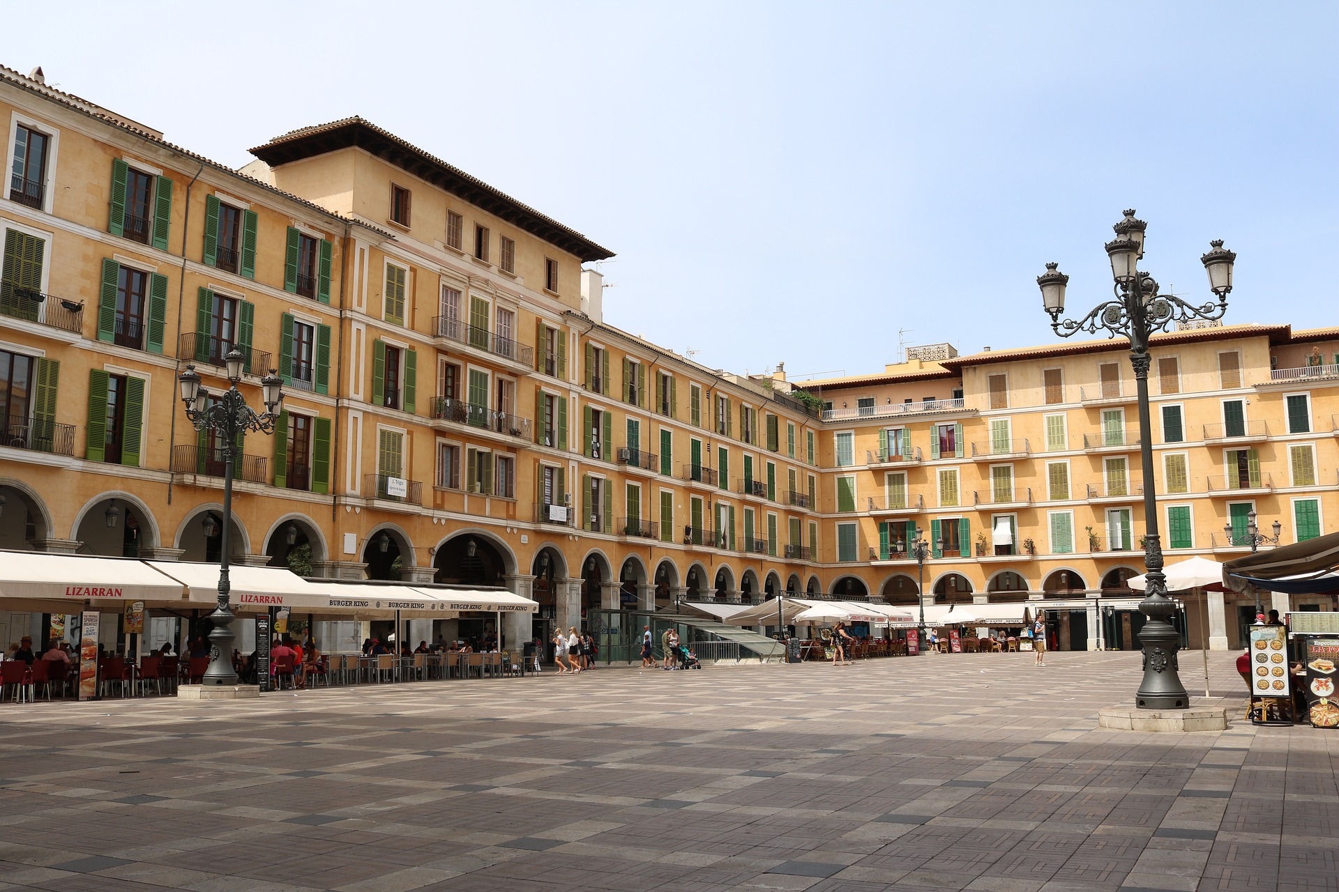
About Palma de Mallorca
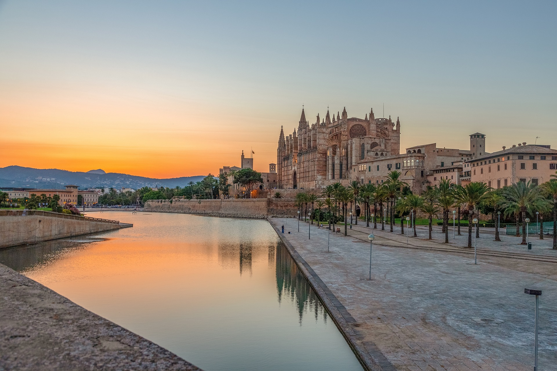
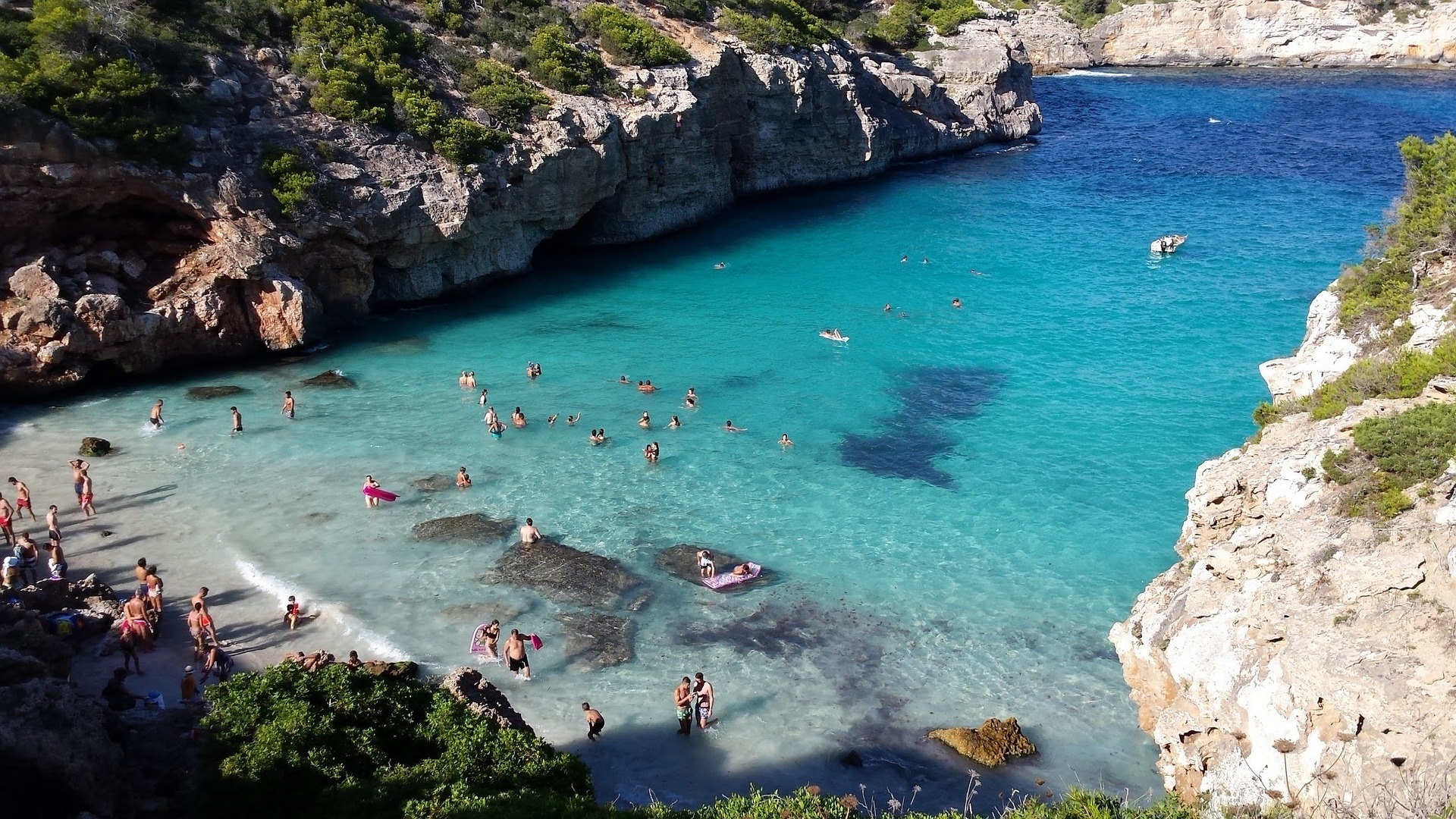
If you look north of the cathedral (La Seu, or the seat of the bishopric, to Mallorcans) on a map of the city of Palma, you can see around the Plaça Santa Eulàlia a jumble of tiny streets that made up the earliest settlement. Farther out, a ring of wide boulevards traces the fortifications built by the Moors to defend the larger city that emerged by the 12th century. The zigzags mark the bastions that jutted out at regular intervals. By the end of the 19th century, most of the walls had been demolished; the only place where you can still see the massive defenses is at Ses Voltes, along the seafront west of the cathedral.A torrent (streambed) used to run through the middle of the old city, dry for most of the year but often a raging flood in the rainy season. In the 17th century it was diverted to the east, along the moat that ran outside the city walls. Two of Palma's main arteries, La Rambla and the Passeig d'es Born, now follow the stream's natural course. The traditional evening paseo (promenade) takes place on the Born.If you come to Palma by car, park in the garage beneath the Parc de la Mar (the ramp is just off the highway from the airport, as you reach the cathedral) and stroll along the park. Beside it run the huge bastions guarding the Almudaina Palace; the cathedral, golden and massive, rises beyond. Where you exit the garage, there's a ceramic mural by the late Catalan artist and Mallorca resident Joan Miró, facing the cathedral across the pool that runs the length of the park.If you begin early enough, a walk along the ramparts at Ses Voltes from the mirador beside the cathedral is spectacular. The first rays of the sun turn the upper pinnacles of La Seu bright gold and then begin to work their way down the sandstone walls. From the Parc de la Mar, follow Avinguda Antoni Maura past the steps to the palace. Just below the Plaça de la Reina, where the Passeig d'es Born begins, turn left on Carrer de la Boteria into the Plaça de la Llotja (if the Llotja itself is open, don't miss a chance to visit—it's the Mediterranean's finest Gothic-style civic building). From there stroll through the Plaça Drassana to the Museu d'Es Baluard, at the end of Carrer Sant Pere. Retrace your steps to Avinguda Antoni Maura. Walk up the Passeig d'es Born to Plaça Joan Carles I, then right on Avenida de La Unió.



About Cartagena
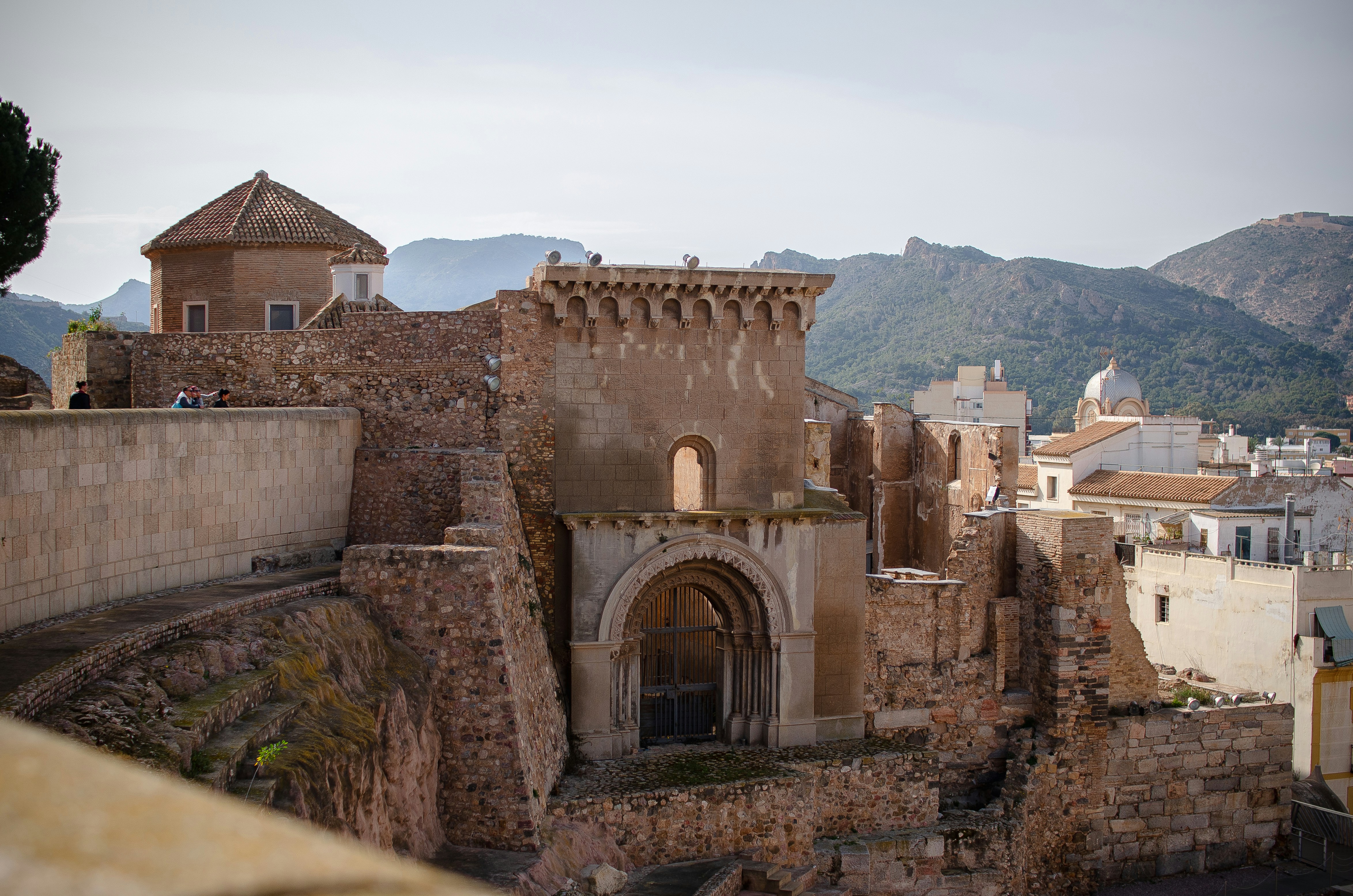
A Mediterranean city and naval station located in the Region of Murcia, southeastern Spain, Cartagena’s sheltered bay has attracted sailors for centuries. The Carthaginians founded the city in 223BC and named it Cartago Nova; it later became a prosperous Roman colony, and a Byzantine trading centre. The city has been the main Spanish Mediterranean naval base since the reign of King Philip II, and is still surrounded by walls built during this period. Cartagena’s importance grew with the arrival of the Spanish Bourbons in the 18th century, when the Navidad Fortress was constructed to protect the harbour. In recent years, traces of the city’s fascinating past have been brought to light: a well-preserved Roman Theatre was discovered in 1988, and this has now been restored and opened to the public. During your free time, you may like to take a mini-cruise around Cartagena's historic harbour: these operate several times a day, take approximately 40 minutes and do not need to be booked in advance. Full details will be available at the port.

About Málaga
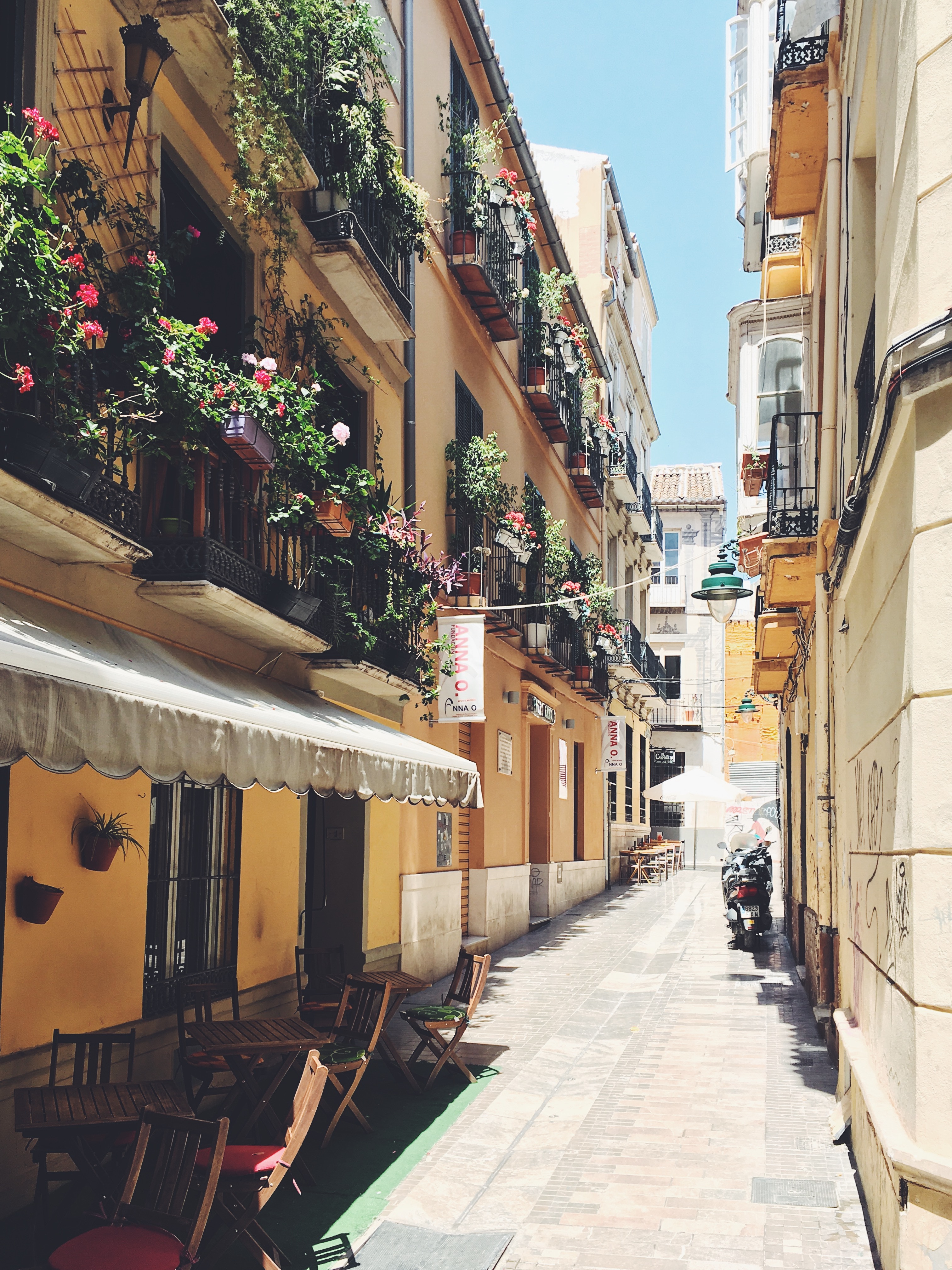
As you sail into Malaga you will notice what an idyllic setting the city enjoys on the famous Costa del Sol. To the east of this provincial capital, the coast along the region of La Axarqua is scattered with villages, farmland and sleepy fishing hamlets - the epitome of traditional rural Spain. To the west stretches a continuous city where the razzmatazz and bustle creates a colourful contrast that is easily recognisable as the Costa del Sol. Surrounding the region, the Penibéetica Mountains provide an attractive backdrop overlooking the lower terraced slopes which yield olives and almonds. This spectacular mountain chain shelters the province from cold northerly winds, giving it a reputation as a therapeutic and exotic place in which to escape from cold northern climes. Malaga is also the gateway to many of Andalusia's enchanting historic villages, towns and cities.


About Gibraltar
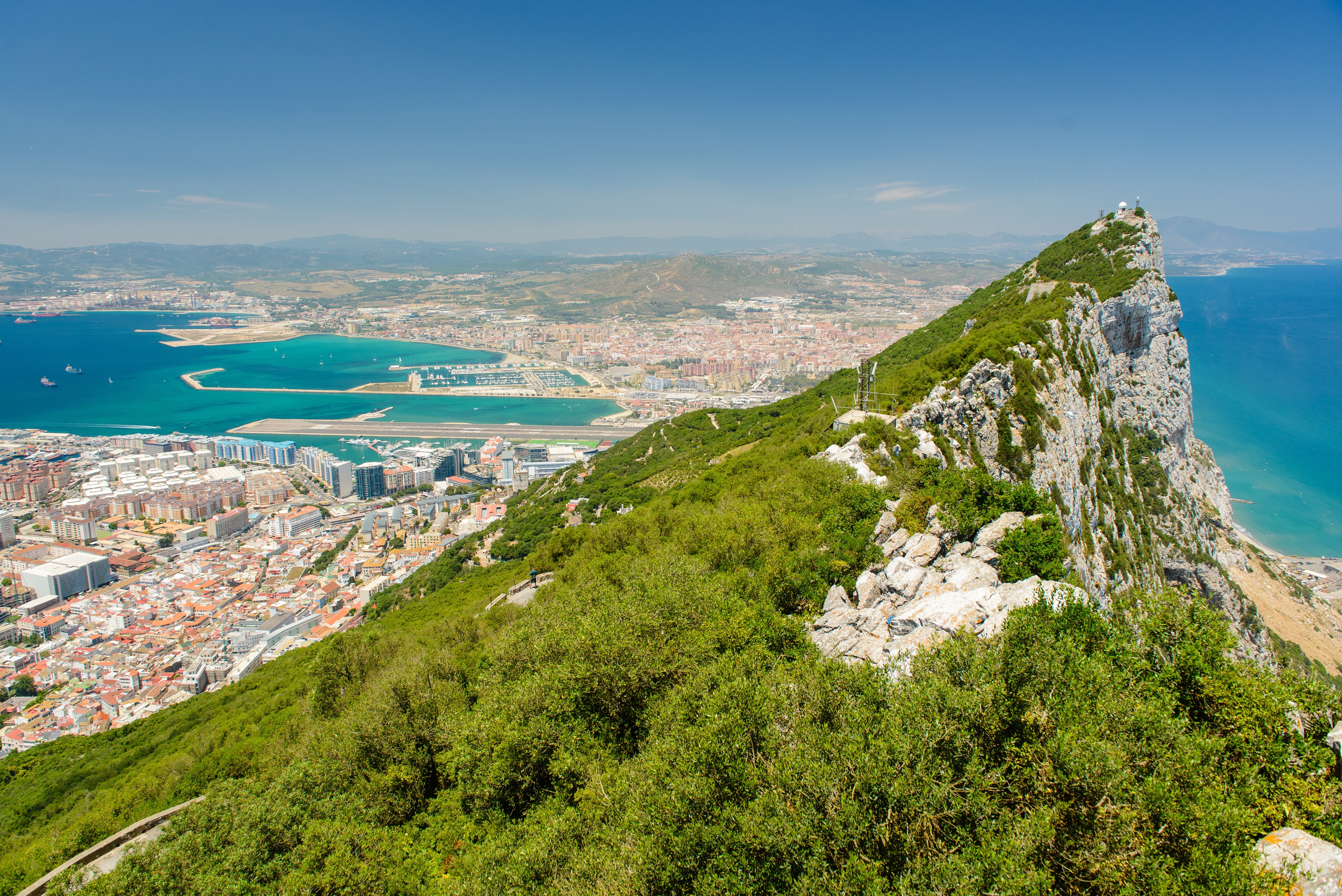
Tagged on to the end of Iberia, the intriguing British outpost of Gibraltar is dominated by a sandy peninsula and the stunning 1,400-feet-high limestone Rock. Although small, Gibraltar has always been seen as having great strategic importance on account of its advantageous position where the Atlantic meets the Mediterranean, just 12 miles from the coast of Africa. Ever popular with British holidaymakers, Gibraltar is very much a home from home, boasting excellent duty-free shopping in many familiar British high street shops. Please note: Gibraltar’s small size and narrow winding roads mean that excursions are operated by 22-seater mini-buses, accompanied by a driver/guide. Local health and safety regulations prohibit the carriage of walking aids and collapsible wheelchairs on these vehicles. If you do wish to bring a mobility aid, we can arrange the Rock Tour by taxi, which has extra space. If this suits your requirements, please advise the Tours and Travel office when you join the ship, as numbers are limited.


About Tangier
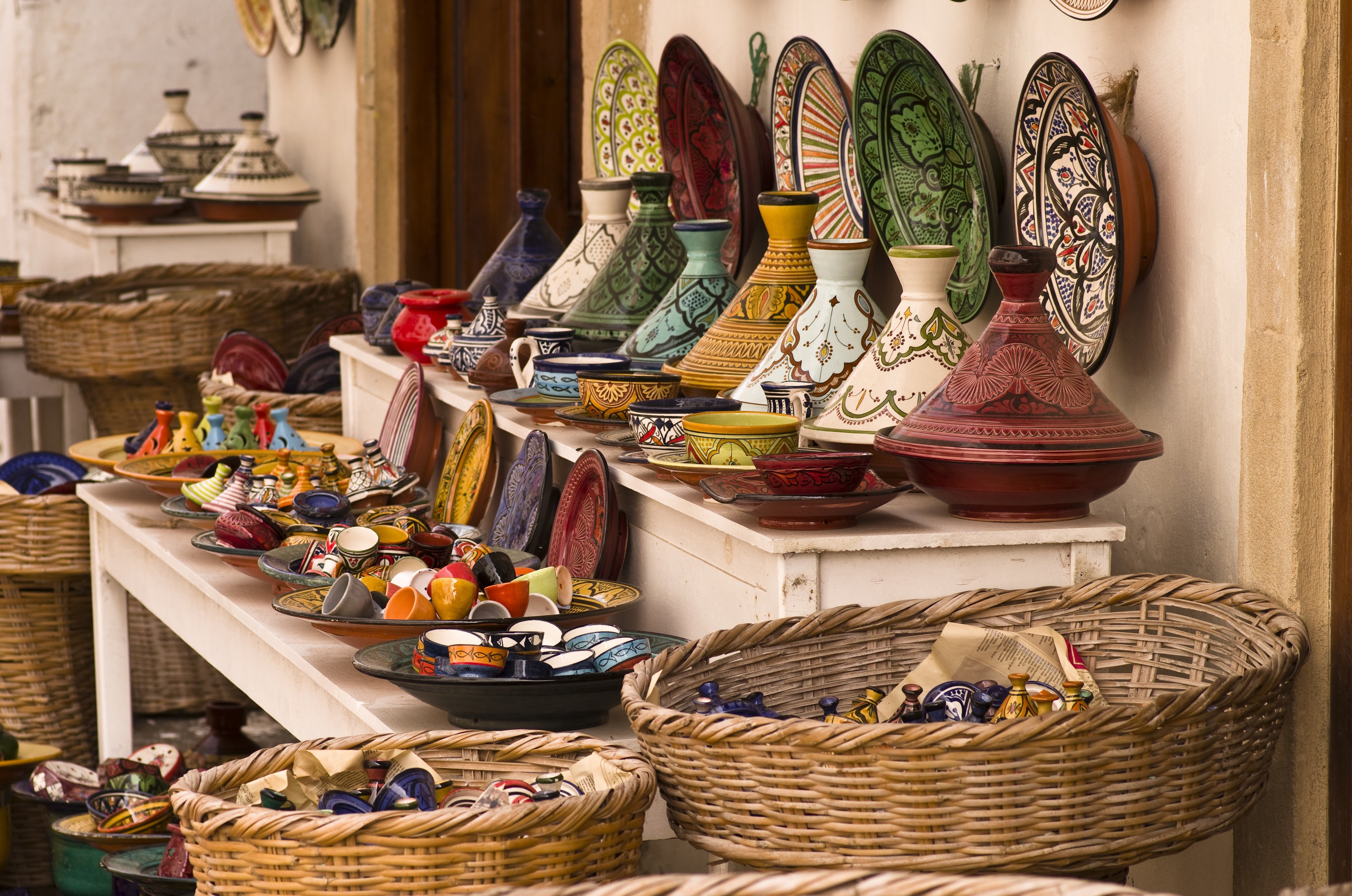
Tangier can trace its origins back to the Phoenicians and ancient Greeks. It was named after Tinge, the mother of Hercules’ son, and its beginnings are embedded in mythology. It was subsequently a Roman province, and after Vandal and Byzantine influences, was occupied by the Arabs with Spain, Portugal, France and England also playing a part in the city’s history. With such a diverse past it is perhaps not surprising that Tangier is such an individual city. Overlooking the Straits of Gibraltar, the city lies on a bay between two promontories. With its old Kasbah, panoramic views, elegant buildings, squares and places of interest, there is much to discover in both the new and old parts of the city.

About Cádiz
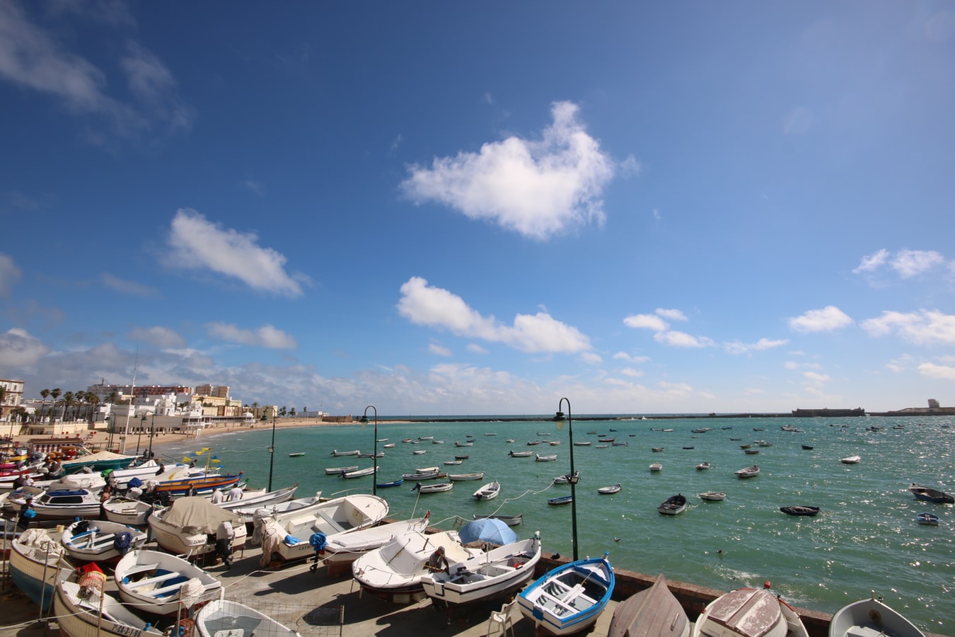
Believed to be the oldest town on the Iberian Peninsula, the Andalusian port of Cádiz enjoys a stunning location at the edge of a six-mile promontory. The town itself, with 3,000 years of history, is characterised by pretty white houses with balconies often adorned with colourful flowers. As you wander around be sure to take a stroll through the sizeable Plaza de Espãna, with its large monument dedicated to the first Spanish constitution, which was signed here in 1812. Cádiz has two pleasant seafront promenades which boast fine views of the Atlantic Ocean, and has a lovely park, the Parque Genoves, located close to the sea with an open-air theatre and attractive palm garden. Also notable is the neo-Classical cathedral, capped by a golden dome.


About Portimão
Portimão is a major fishing port, and significant investment has been poured into transforming it into an attractive cruise port as well. The city itself is spacious and has several good shopping streets—though sadly many of the more traditional retailers have closed in the wake of the global economic crisis. There is also a lovely riverside area that just begs to be strolled (lots of the coastal cruises depart from here). Don’t leave without stopping for an alfresco lunch at the Doca da Sardinha ("sardine dock") between the old bridge and the railway bridge. You can sit at one of many inexpensive establishments, eating charcoal-grilled sardines (a local specialty) accompanied by chewy fresh bread, simple salads, and local wine.


About Lisbon
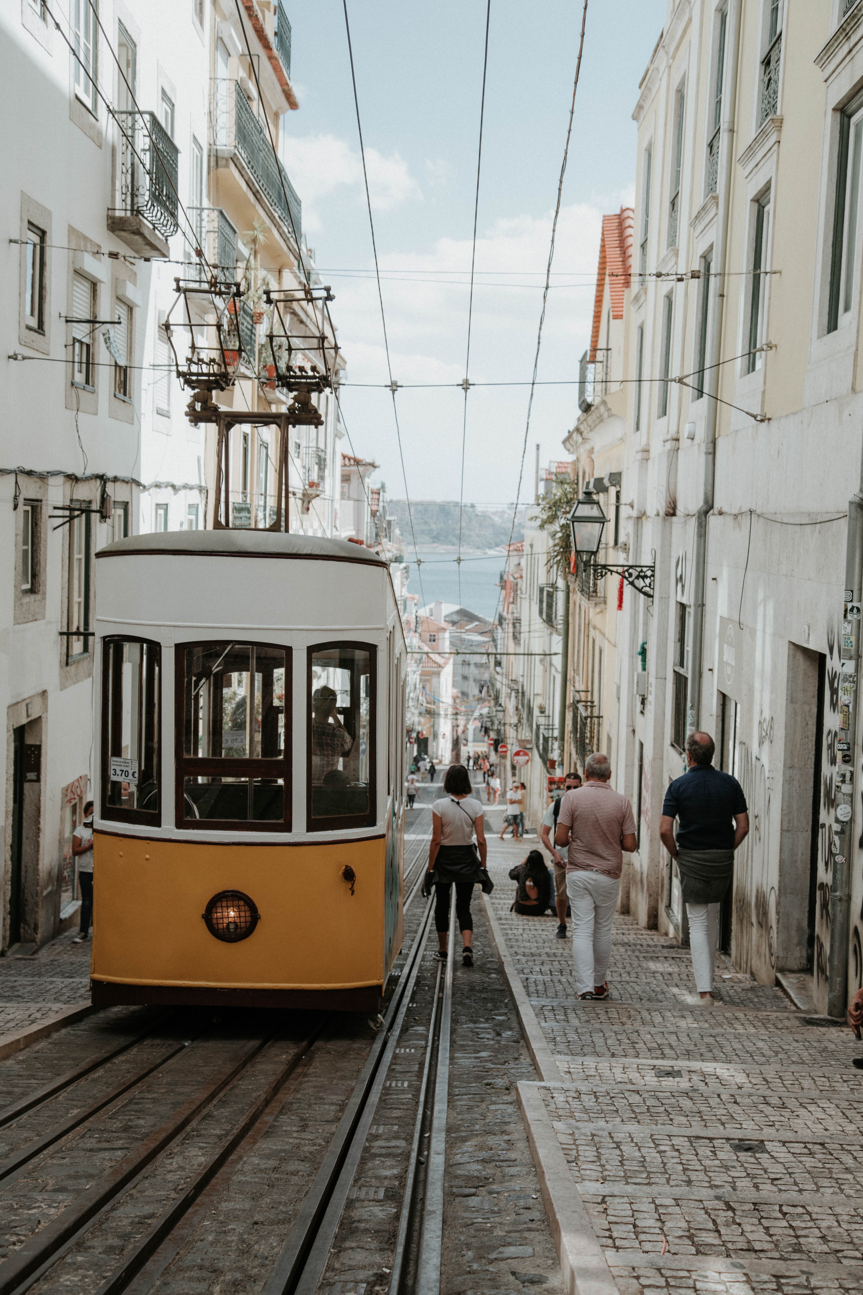
Set on seven hills on the banks of the River Tagus, Lisbon has been the capital of Portugal since the 13th century. It is a city famous for its majestic architecture, old wooden trams, Moorish features and more than twenty centuries of history. Following disastrous earthquakes in the 18th century, Lisbon was rebuilt by the Marques de Pombal who created an elegant city with wide boulevards and a great riverfront and square, Praça do Comércio. Today there are distinct modern and ancient sections, combining great shopping with culture and sightseeing in the Old Town, built on the city's terraced hillsides. The distance between the ship and your tour vehicle may vary. This distance is not included in the excursion grades.


About Funchal, Madeira
Formed by a volcanic eruption, Madeira lies in the Gulf Stream, about 500 miles due west of Casablanca. Discovered by Portuguese explorer João Gonçalves Zarco in 1419, this beautiful island became part of Portugal’s vast empire and was named for the dense forest which cloaked it - 'Madeira' means 'wood' in Portuguese. Sugar plantations first brought wealth here, and when King Charles II of England granted an exclusive franchise to sell wine to England and its colonies, many British emigrants were drawn to the capital, Funchal. Today’s travellers come to Madeira for the varied and luxuriant scenery, from mountain slopes covered with vines to picturesque villages and a profusion of wild flowers. The natural beauty of the island has earned it many pseudonyms such as ‘The Floating Garden of the Atlantic’, 'The Island of Eternal Springtime' and ‘God’s Botanical Gardens’ and our selection of excursions aim to show you why.


About Ponta Delgada, Azores
Offering solace on the long journey across the Atlantic, Ponta Delgada is the Azores Islands' largest city, and a welcome relief for any weary sailor. Located on an archipelago of Portuguese islands, some 1,100 miles from the mainland, you can explore humbling volcanic scenery, as well as Sao Miguel's verdant landscape - which glows with colour when the hydrangeas that the Azores are known for bloom into life during the summer months. The striking black and white facade of the Church of Sao Jose welcomes you to the city itself, while you can head to the markets to pick up the pineapples, tea leaves and coffee beans that add a little flavour to the island. As the largest city of the Azores, Ponta Delgada is well stocked with places to eat delicious local seafood, or pick up a little shopping, as you enjoy setting your feet on dry land, following a long journey at sea. Volcanic firepower has carved these stunning islands, and a journey up to Caldeira das Sete Cidades is a must do, where you can hike beside the water-filled crater, and admire views of steep green walls, and the uninterrupted Atlantic Ocean stretching beyond them. Lagoa de Fogo offers yet more humbling views, with the crater lake dropping off sharply to rippled ocean far below.

About Horta, Azores
Set on the five-sided island of Faial, Horta is decorated with a colourful cacophony of artworks, which have been daubed across its concrete marina by visitors from around the globe. Left behind by sailors, they tell thrilling stories of life on the high seas. Sitting in the midst of the vast Atlantic, 1,100 miles away from the Portuguese mainland, Horta is the ideal pit-stop for yachts traversing the Atlantic, and one of the world's most visited marinas. The tapered, imposing peak of the Pico volcano, on neighbouring Pico Island, provides a glorious backdrop to the jostling yacht masts of the marina. For the ultimate view, however, you'll need to head up to Faial's own volcanic treasure - Caldeira. Look out from this colossal crater, to absorb the extraordinary views, and a demonstration of a volcano's ability to create as well as destroy. The crater is a natural reserve that blooms with wildflowers and lush green scenery, and scattered sky-blue hydrangeas. Flowers spread colour right across these islands - and you can learn more about the native species at the Faial Botanical Garden.

About Saint-John's, Newfoundland and Labrador
Old meets new in the province's capital (metro-area population a little more than 200,000), with modern office buildings surrounded by heritage shops and colorful row houses. St. John's mixes English and Irish influences, Victorian architecture and modern convenience, and traditional music and rock and roll into a heady brew. The arts scene is lively, but overall the city moves at a relaxed pace.For centuries, Newfoundland was the largest supplier of salt cod in the world, and St. John's Harbour was the center of the trade. As early as 1627, the merchants of Water Street—then known as the Lower Path—were doing a thriving business buying fish, selling goods, and supplying alcohol to soldiers and sailors.

About Halifax, Nova Scotia
Surrounded by natural treasures and glorious seascapes, Halifax is an attractive and vibrant hub with noteworthy historic and modern architecture, great dining and shopping, and a lively nightlife and festival scene. The old city manages to feel both hip and historic. Previous generations had the foresight to preserve the cultural and architectural integrity of the city, yet students from five local universities keep it lively and current. It's a perfect starting point to any tour of the Atlantic provinces, but even if you don't venture beyond its boundaries, you will get a real taste of the region.It was Halifax’s natural harbor—the second largest in the world after Sydney, Australia’s—that first drew the British here in 1749, and today most major sites are conveniently located either along it or on the Citadel-crowned hill overlooking it. That’s good news for visitors because this city actually covers quite a bit of ground.Since amalgamating with Dartmouth (directly across the harbor) and several suburbs in 1996, Halifax has been absorbed into the Halifax Regional Municipality, and the HRM, as it is known, has around 415,000 residents. That may not sound like a lot by U.S. standards, but it makes Nova Scotia’s capital the most significant Canadian urban center east of Montréal.There's easy access to the water, and despite being the focal point of a busy commercial port, Halifax Harbour doubles as a playground, with one of the world's longest downtown boardwalks. It's a place where container ships, commuter ferries, cruise ships, and tour boats compete for space, and where workaday tugs and fishing vessels tie up beside glitzy yachts. Like Halifax as a whole, the harbor represents a blend of the traditional and the contemporary.

About Portland, Maine
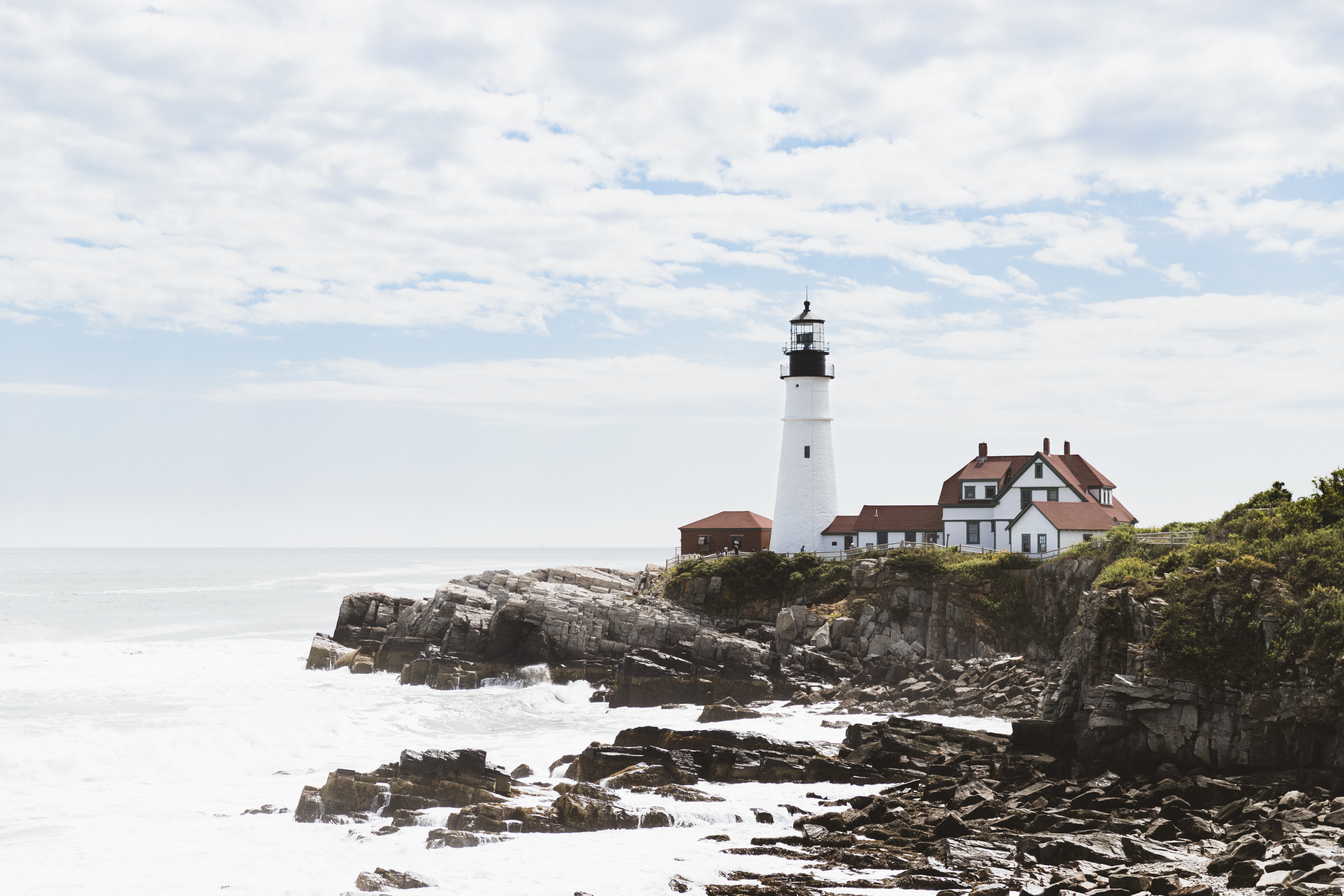
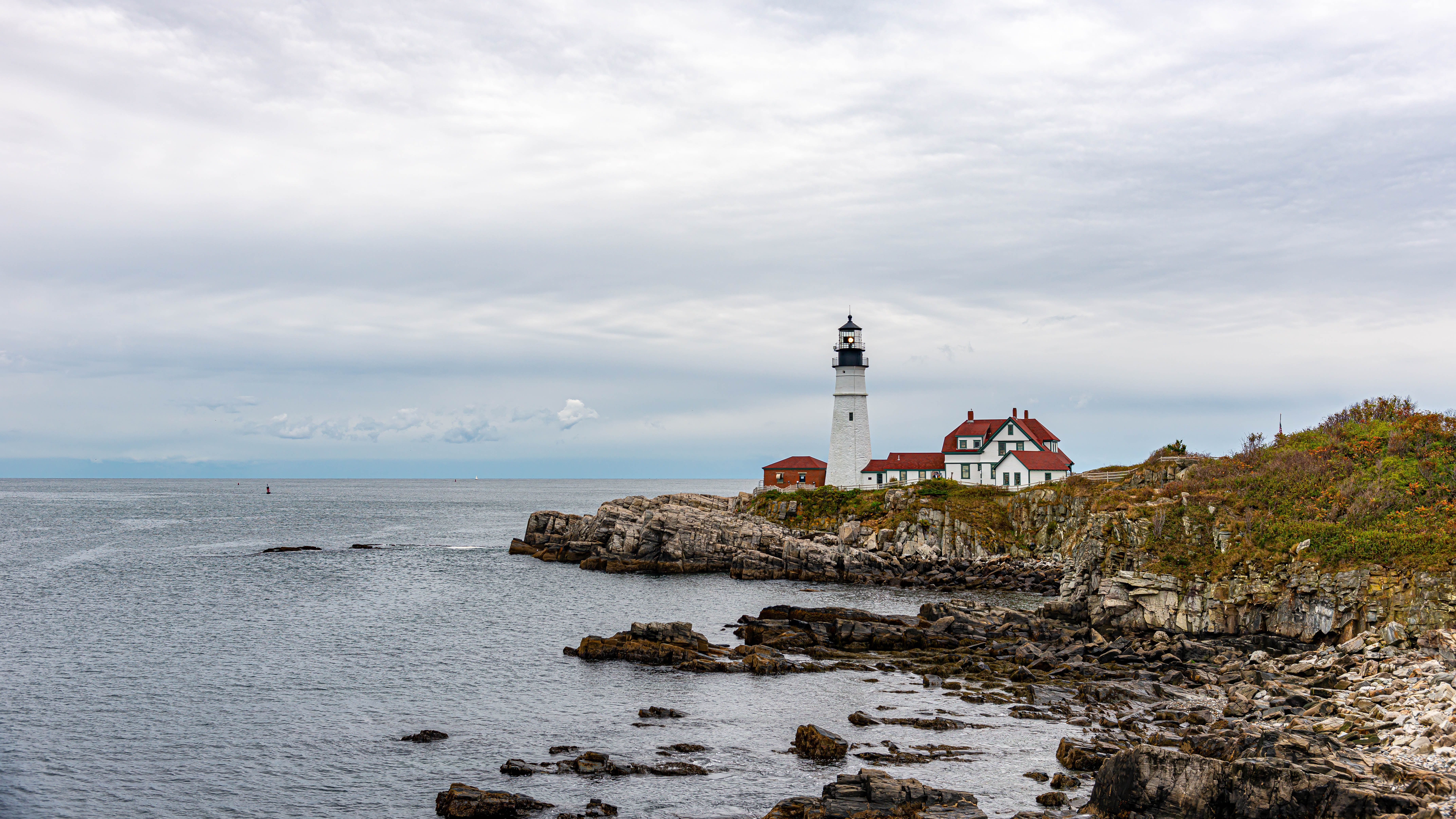
Portland, Maine The largest city in Maine, Portland was founded in 1632 on the Casco Bay Peninsula. It quickly prospered through shipbuilding and the export of inland pines which made excellent masts. A long line of wooden wharves stretched along the seafront, with the merchants' houses on the hillside above. From the earliest days it was a cosmopolitan city. When the railroads came, the Canada Trunk Line had its terminal right on Portland's quayside, bringing the produce of Canada and the Great Plains one hundred miles closer to Europe than any other major U.S. port. Some of the wharves are now occupied by new condominium developments, with the exception of the Customs House Wharf, which remains much as it used to be. Grand Trunk Station was torn down in 1966 and a revitalization program of this historic section was spearheaded by a group of committed residents. The result was the revival of the Old Port Exchange District with its redbrick streets built in the 1860s following a disastrous fire. The area today features a wide variety of restaurants, specialty and antique shops, and makes for a pleasant place for a stroll. Congress Street and its many side streets are an engaging mixture of culture, commerce and history. Art is everywhere, from the Portland Museum of Art to the many statues and monuments throughout the city. Other points of interest include the Portland Observatory, Henry Wadsworth Longfellow's childhood home, several colonial mansions and Fort Williams Park, with the adjacent Portland Head Light. Farther afield one can visit the charming yachting and fishing village of Kennebunkport, also noted as the locale of the home and summer White House of former President George Bush. Going Ashore in Portland Pier Information The ship is scheduled to dock at the Portland Ocean Terminal, a very easy walk to the Old Port District located about two blocks away. Taxis are available at the pier. Shopping A wide range of Maine-made clothing, crafts and imported items can be found in shops along the cobblestone streets of the quaint Old Port Exchange. Small boutiques and numerous art galleries feature everything from paintings, crafts and furniture to prints and photographs. Antique lovers will enjoy browsing through area shops. Bargain hunters may want to visit the designer factory outlet shops in Freeport. On Sundays, most shops are open from 12:00 noon to 5:00-6:00 p.m. The local currency is the dollar. Cuisine Portland has the most restaurants per capita, second only to San Francisco. Eating establishments are as diverse as the menus they offer. The fresh catch of the day can be found on most menus, but seafood is only one of many culinary delights. From specialty coffee houses and ethnic restaurants to chowder and lobster houses to elegant dining rooms, Portland makes it easy to please every palate. Other Sights Longfellow's "City by the Sea" Portland is a walkable city, and a good place to start exploring is at the Old Port with its striking buildings comprising a bevy of architectural styles, ranging from Italianate to Mansard, Queen Anne to Greek Revival. The charming streets house an amazing collection of shops, galleries, bookstores and restaurants. Congress Street and the Arts District reflect the changes of 350 years of history, boasting an engaging mixture of culture and commerce. Portland Museum of Art The museum's award-winning building is a blend of 1911 Beaux Arts and 1983 post-modernism. It houses one of New England's finest art collections. Don't miss the museum's indoor Sculpture Garden. Portland Observatory Built in 1807, this is a rare example of a signal tower from which signal flags would be flown to identify incoming vessels. Factory Outlets of Freeport About a 25-minute drive north of Portland (approximately $35 one way for a taxi), this shopping mecca is crammed with serious shoppers who come from as far away as New York. Private arrangements for independent sightseeing may be requested through the Tour Office on board.



About Boston, Massachusetts
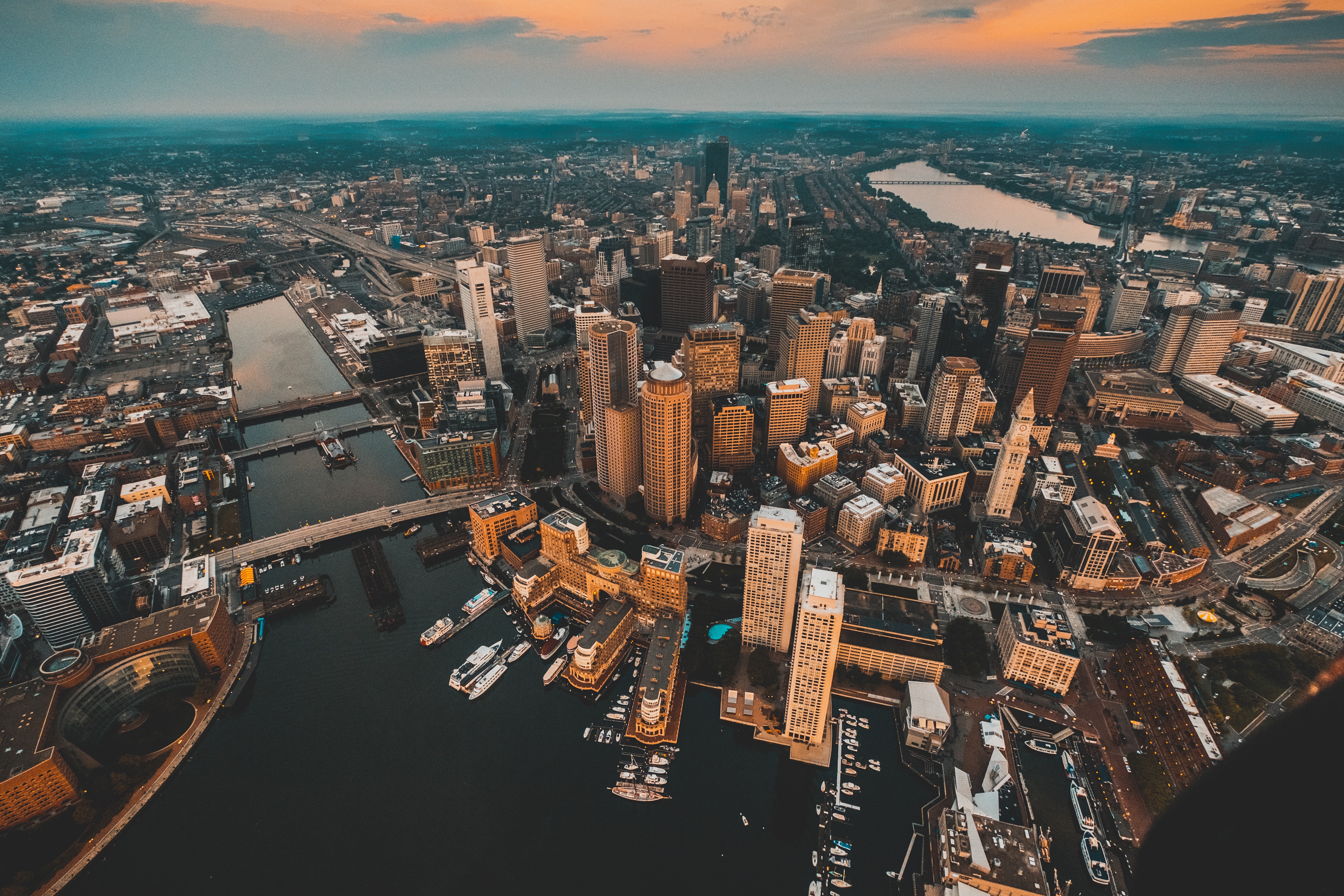
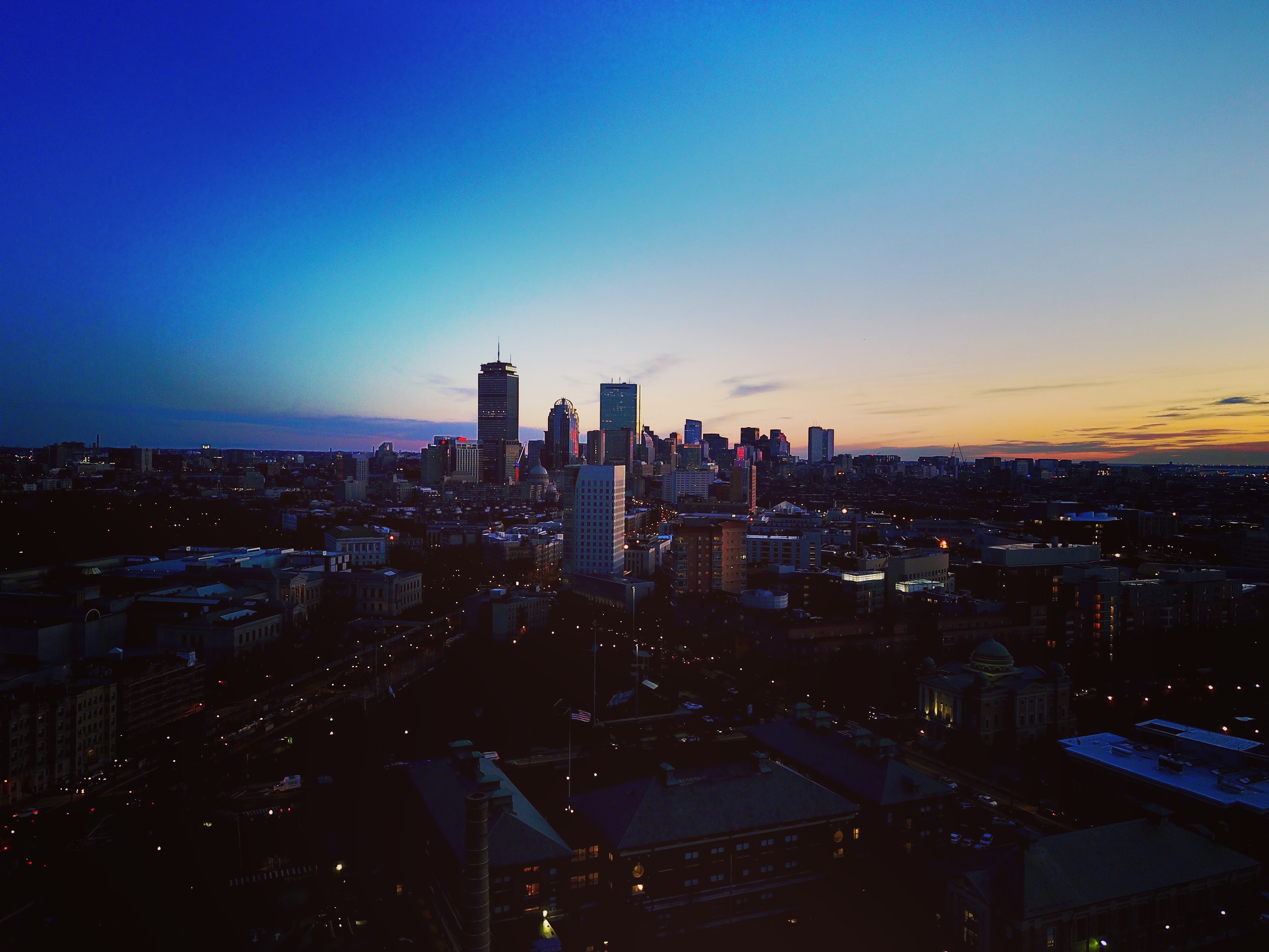
There’s history and culture around every bend in Boston—skyscrapers nestle next to historic hotels while modern marketplaces line the antique cobblestone streets. But to Bostonians, living in a city that blends yesterday and today is just another day in beloved Beantown.

About Newport, Rhode Island
Established in 1639 by a small band of religious dissenters led by William Coddington and Nicholas Easton, the city by the sea became a haven for those who believed in religious freedom. Newport’s deepwater harbor at the mouth of Narragansett Bay ensured its success as a leading Colonial port, and a building boom produced hundreds of houses and many landmarks that still survive today. These include the Wanton-Lyman-Hazard House and the White Horse Tavern, both built during the 17th century, plus Trinity Church, Touro Synagogue, the Colony House, and the Redwood Library, all built in the 18th century.British troops occupied Newport from 1776–1779, causing half the city’s population to flee and ending a golden age of prosperity. The economic downturn that followed may not have been so great for its citizens but it certainly was for preserving Newport’s architectural heritage, as few had the capital to raze buildings and replace them with bigger and better ones. By the mid-19th century the city had gained a reputation as the summer playground for the very wealthy, who built enormous mansions overlooking the Atlantic. These so-called "summer cottages," occupied for only six to eight weeks a year by the Vanderbilts, Berwinds, Astors, and Belmonts, helped establish the best young American architects. The presence of these wealthy families also brought the New York Yacht Club, which made Newport the venue for the America’s Cup races beginning in 1930 until the 1983 loss to the Australians.The Gilded Age mansions of Bellevue Avenue are what many people associate most with Newport. These late-19th-century homes are almost obscenely grand, laden with ornate rococo detail and designed with a determined one-upmanship.Pedestrian-friendly Newport has so much else to offer in a relatively small geographical area— beaches, seafood restaurants, galleries, shopping, and cultural life. Summer can be crowded, but fall and spring are increasingly popular times of the year to visit.


About New York, New York
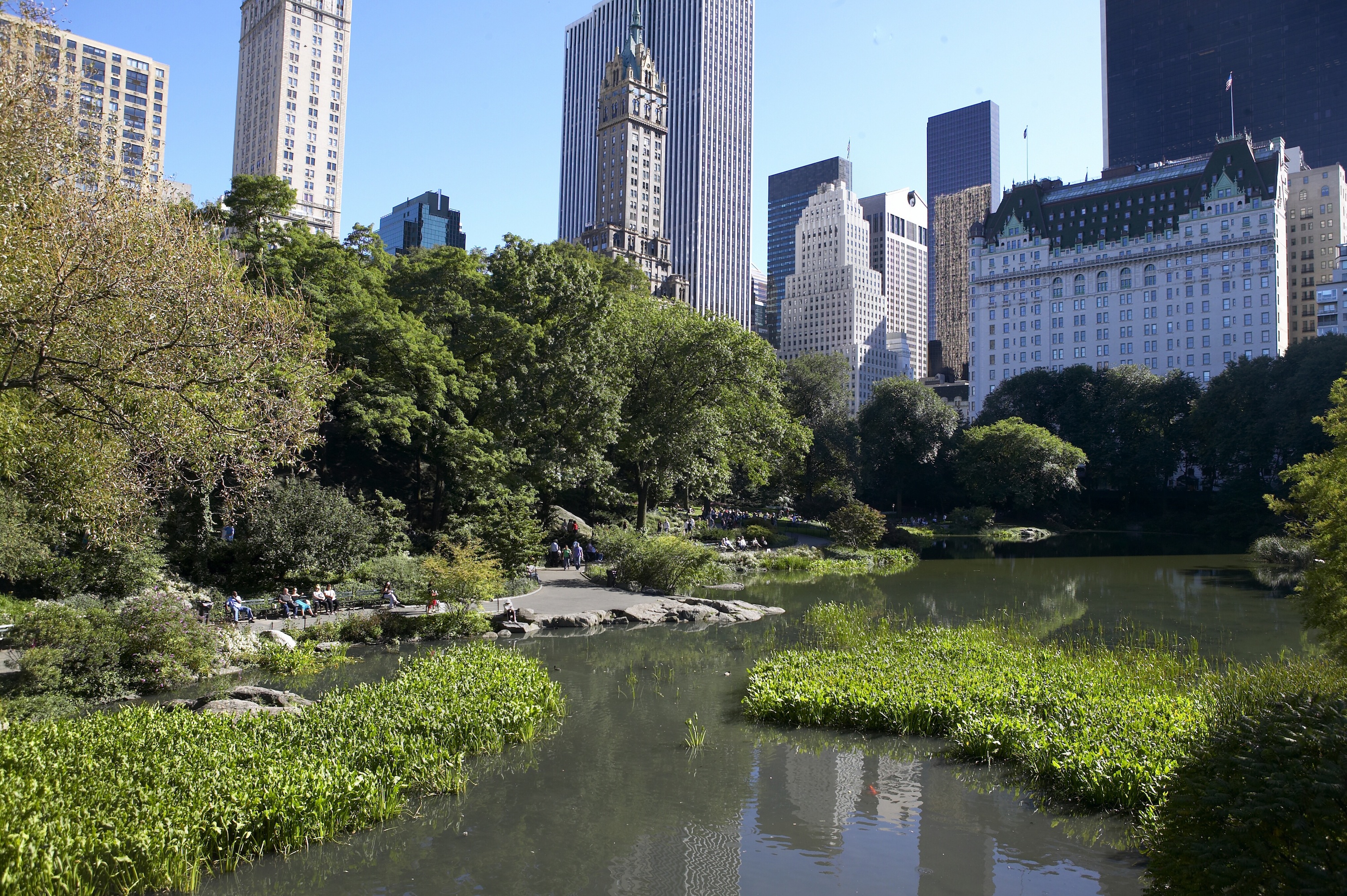
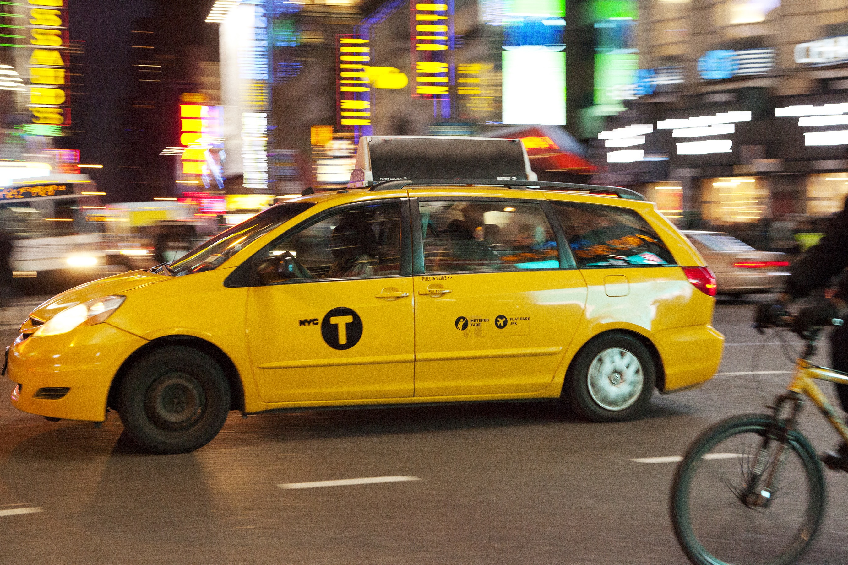
From Wall Street's skyscrapers to the neon of Times Square to Central Park's leafy paths, New York City pulses with an irrepressible energy. History meets hipness in this global center of entertainment, fashion, media, and finance. World-class museums like MoMA and unforgettable icons like the Statue of Liberty beckon, but discovering the subtler strains of New York's vast ambition is equally rewarding: ethnic enclaves and shops, historic streets of dignified brownstones, and trendy bars and eateries all add to the urban buzz.

