Palms To Andean Peaks
Palms To Andean Peaks
Cruise overview
WHY BOOK WITH US?
- ✔ The Deluxe Cruises’ team has extensive experience in ultra-luxury cruising.
- ✔ Call now to speak to our helpful and experienced Cruise Concierge team.
- ✔ Enjoy our Unique Deluxe Cruises Bonus for substantial savings.
- ✔ Our team will tailor your holiday to your exacting requirements.
- ✔ As agents, we work under the protection of each cruise lines ABTA / ATOL licences
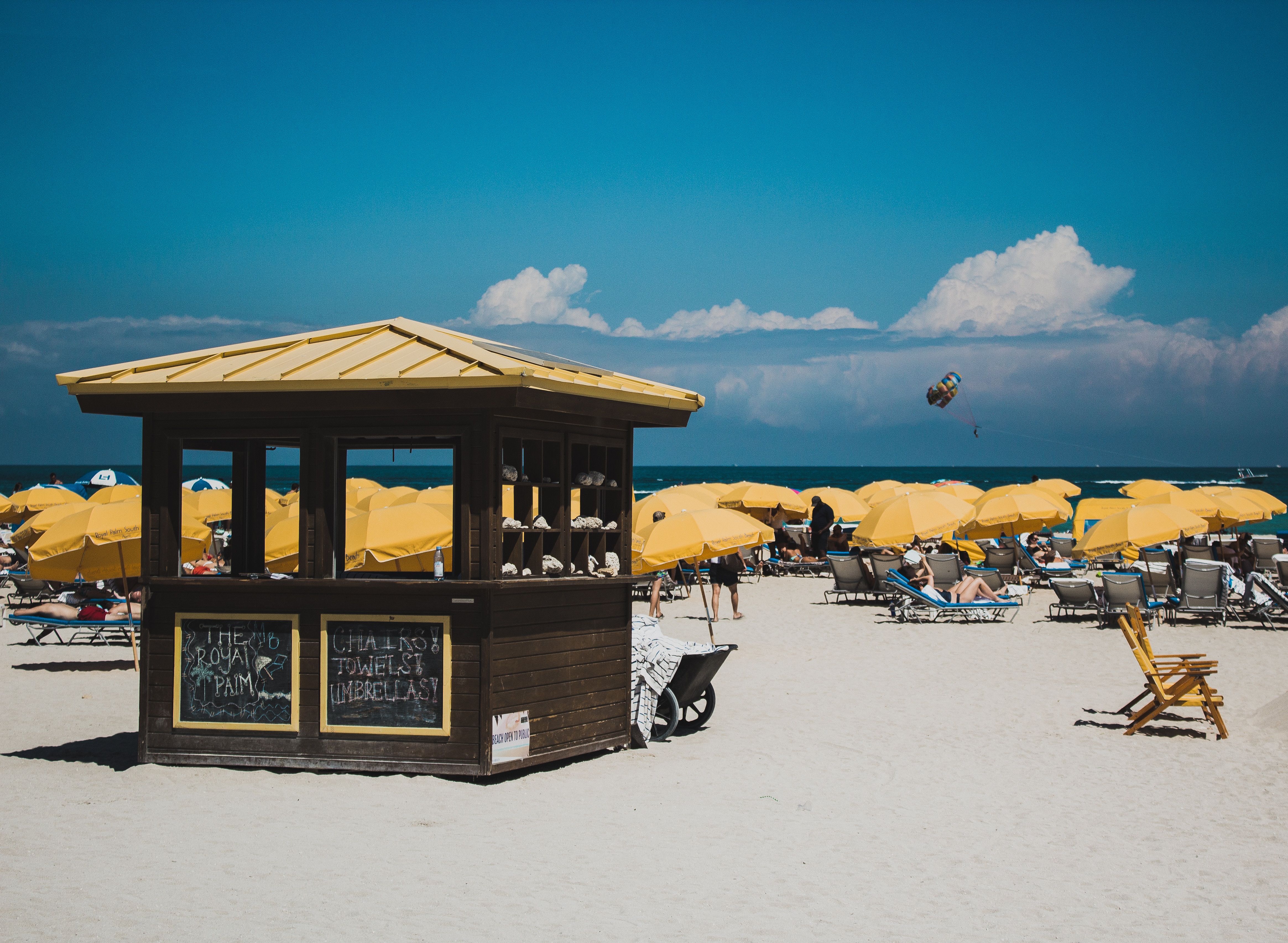
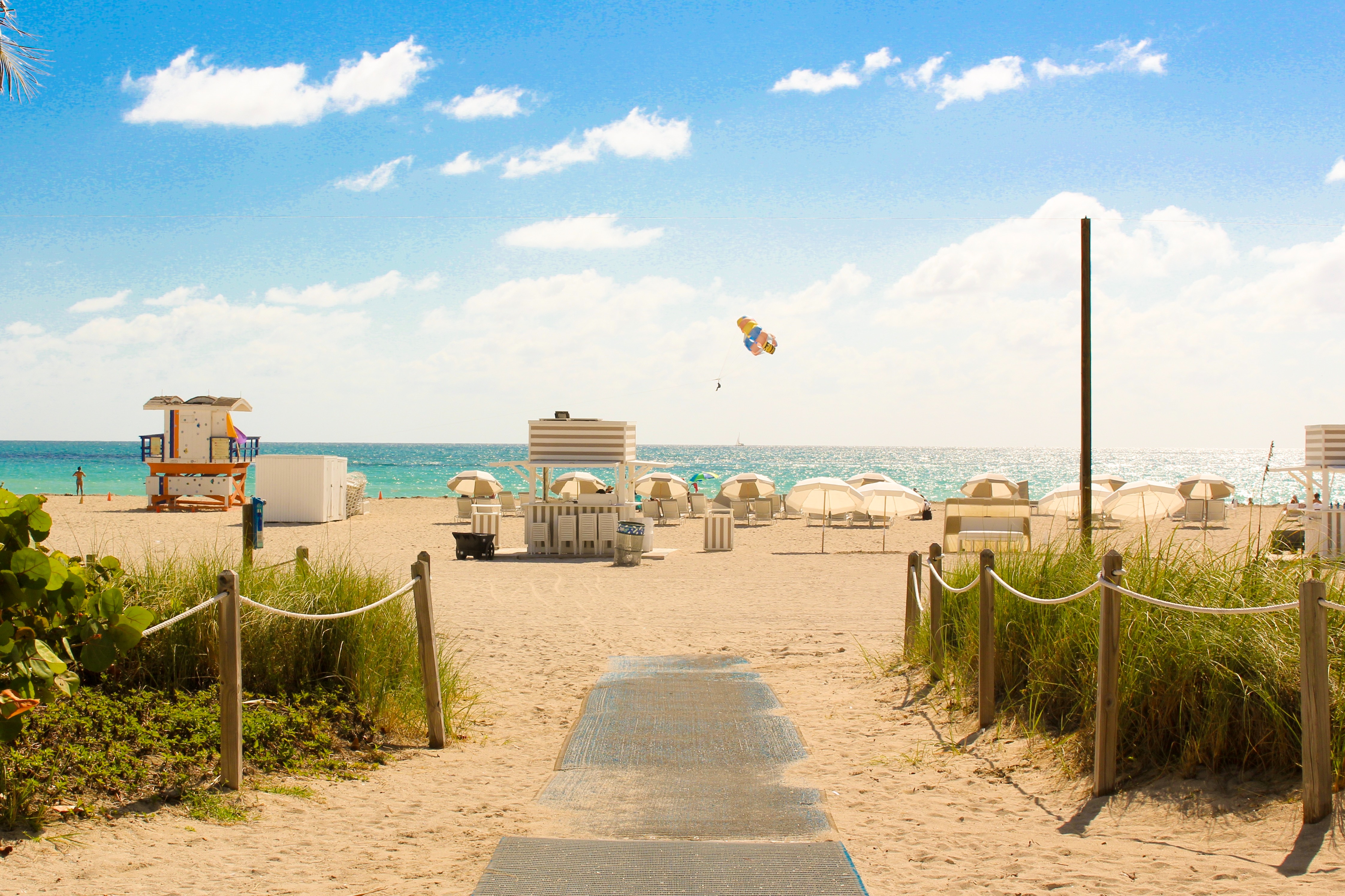
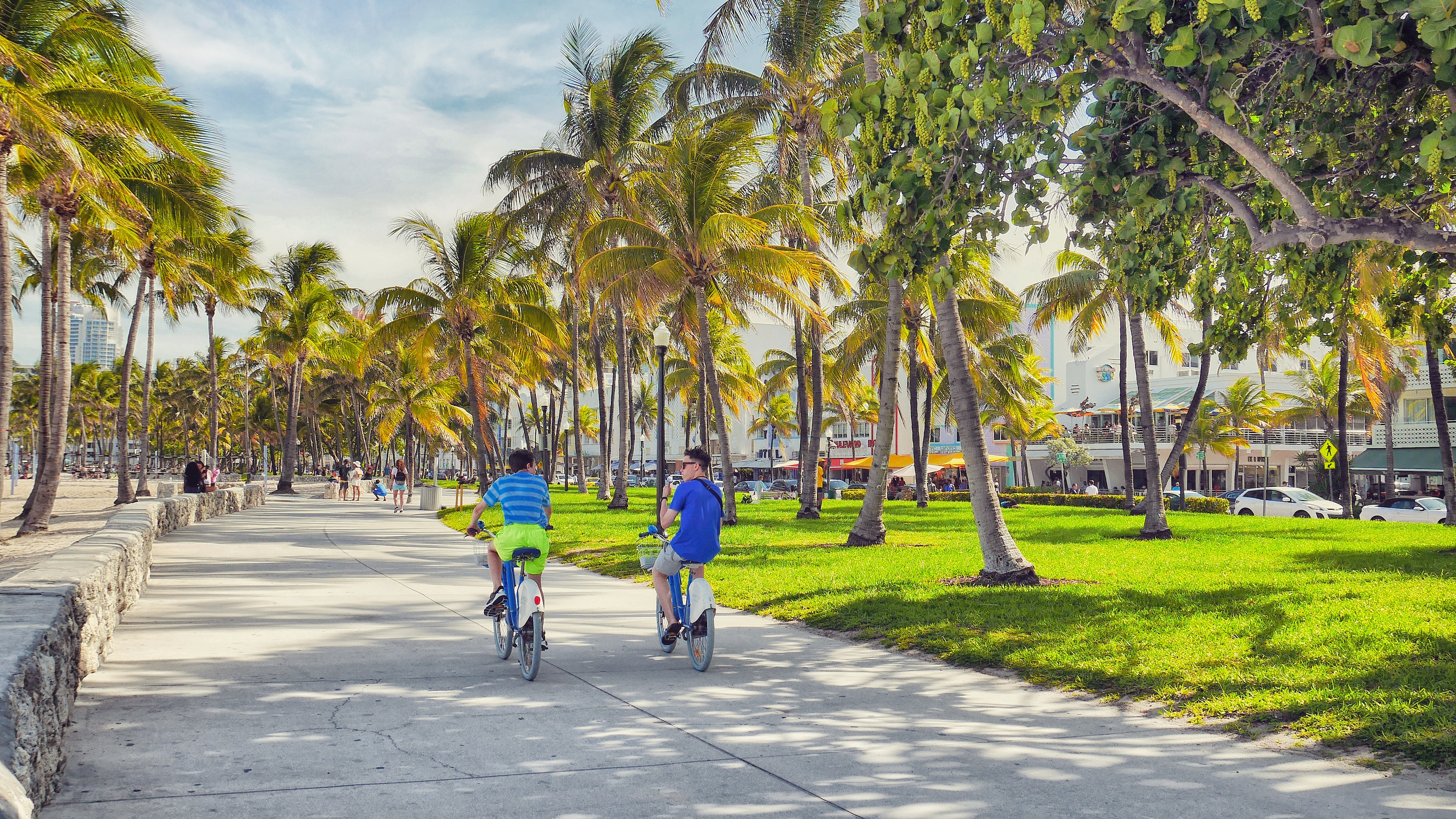
About Miami, Florida
Miami is one of the world’s most popular holiday spots. It has so much to offer; from its countless beach areas, to culture and museums, from spa and shopping days out, to endless cuban restaurants and cafes. Miami is a multicultural city that has something to offer to everyone.


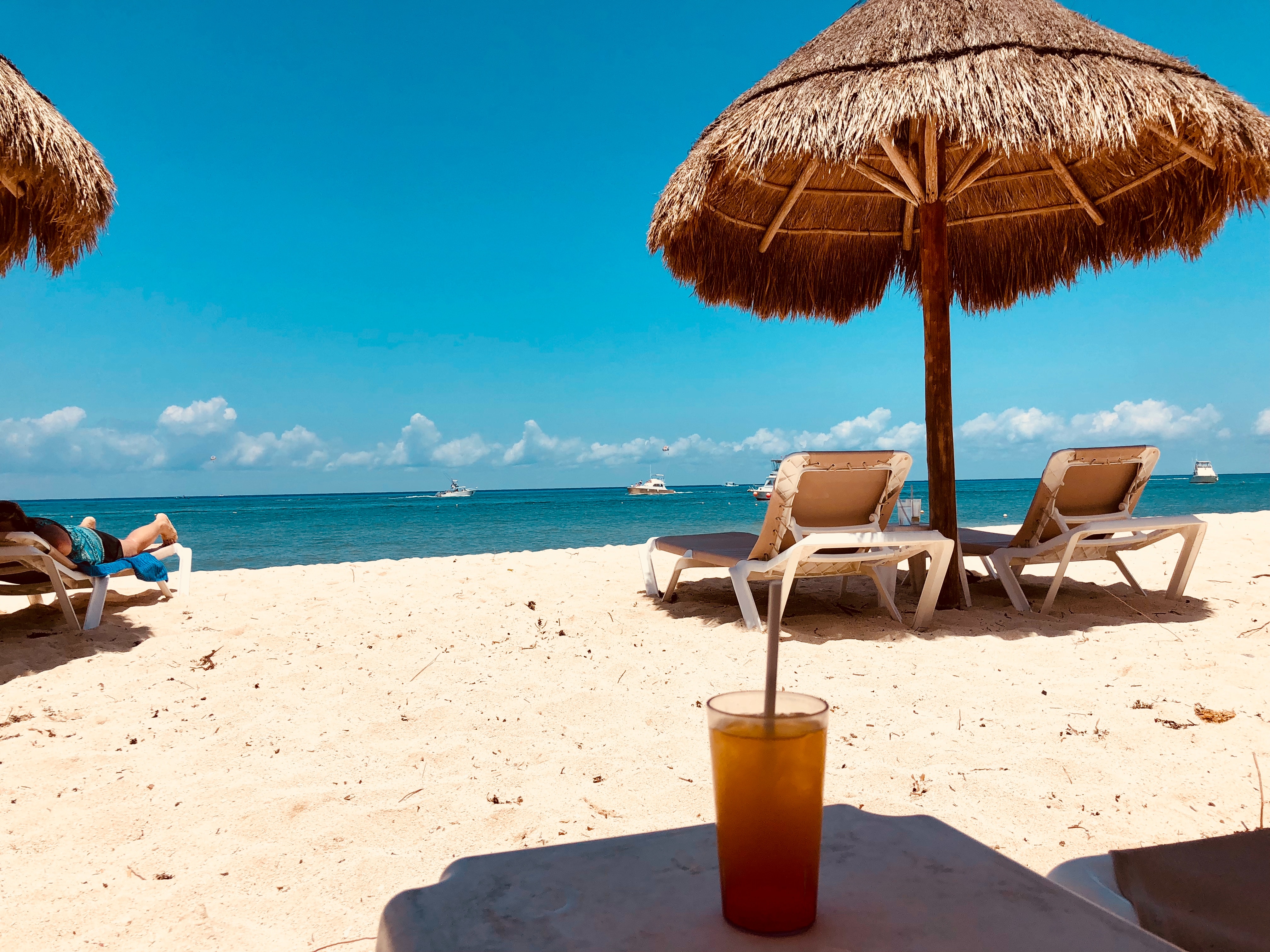
About Cozumel
Cozumel, a Caribbean gem off Mexico’s Yucatán Peninsula, is celebrated for its crystal-clear waters, vibrant coral reefs, and rich Mayan history. A haven for divers and snorkelers, the island is home to the Mesoamerican Reef, teeming with colorful marine life. Beyond the sea, explore ancient ruins like San Gervasio, enjoy local charm in San Miguel’s markets, or relax on pristine beaches. Eco-parks like Punta Sur offer lush landscapes and wildlife encounters. Blending natural beauty, cultural heritage, and adventure, Cozumel promises a tropical escape that captivates every traveler.


About Costa Maya
Laid-back coast with sandy beaches & waterfront eateries, plus diving around offshore coral reefs.

About Belize City
Belize City, a coastal gem, seamlessly blends history and modern vibrancy. Colonial architecture graces lively streets, narrating tales of Mayan roots and cultural richness. A welcoming atmosphere emanates from friendly locals, and diverse festivals celebrate Belize's heritage. The city serves as a gateway to natural wonders, from serene river rides to the renowned Belize Barrier Reef. Pristine beaches like Old Belize Beach invite relaxation. Culinary delights abound, showcasing Belizean flavours. In this enchanting city, every smile, historical landmark, and cultural celebration embodies the warmth and charm that make Belize City an unforgettable destination.

About Harvest Caye

About Santo Tomás de Castilla
Guatemala's short Caribbean shoreline doesn't generate the buzz of those of neighboring Belize and Mexico. The coast weighs in at a scant 74 mi (123 km), and this mostly highland country wears its indigenous culture on its sleeve and has historically looked inland rather than to the sea. You'll be drawn inland, too, with a variety of shore excursions. This is the land of the Maya, after all. But there's plenty to keep you occupied here in the lowlands. Tourist brochures tout the Caribbean coast as "The Other Guatemala". The predominantly indigenous and Spanish cultures of the highlands give way to an Afro-Caribbean tradition that listens more closely to the rhythms of far-off Jamaica rather than taking its cue from Guatemala City. Think of it as mixing a little reggae with your salsa.

About Roatán Island
Experience true Caribbean island bliss, during your time on the immaculate paradise of Roatan, which is the largest of the Bay Islands. This slim island is framed by glorious powdery white beaches, and rich ocean beds carpeted with diverse coral reefs - alive with fish and marine life. Curious dolphins roll through the waves just offshore, while beach dwellers soak up the sun, and enjoy coconut cocktails, beside leaning palm trees. The beaches here are nothing short of dreamy - with wooden piers teetering out over the water, and thatched roofs providing welcome shade, as you dangle your legs towards the water.


About Puerto Limón
Christopher Columbus became Costa Rica's first tourist when he landed on this stretch of coast in 1502 during his fourth and final voyage to the New World. Expecting to find vast mineral wealth, he named the region Costa Rica ("rich coast"). Imagine the Spaniards' surprise eventually to find there was none. Save for a brief skirmish some six decades ago, the country did prove itself rich in a long tradition of peace and democracy. No other country in Latin America can make that claim. Costa Rica is also abundantly rich in natural beauty, managing to pack beaches, volcanoes, rain forests, and diverse animal life into an area the size of Vermont and New Hampshire combined. It has successfully parlayed those qualities into its role as one the world's great ecotourism destinations. A day visit is short, but time enough for a quick sample.

About Panama City
Expect incredible morning views as you arrive into the port for Panama City. Tinged with a silver pre-dawn light, the city will metamorphosise into a golden glow as the sun rises above it. And from then on expect one stunning view after another. Very interesting in its own right, Fuerte Amador is obviously overshadowed by its proximity to Panama City. So should the Miraflores museum of the Canal, which offers a comprehensive and immersive tour of the Canal including a 3-D experience, four exhibition halls, an observation deck, and a surprisingly good restaurant not interest you then there is always the option of lovely Casco Viejo – literally the old quartier of Panama. The grand old colonial houses, cobbled streets, independent boutiques and buzzing street scene make this a must stop on your itinerary. And if you like seafood, you will not want miss the many restaurants and market stalls serving different variations of so-fresh-it’s-still-practically-swimming ceviche. Best eaten like the Panamanians do, with salty crackers and a cold beer on the beach. And if money is no object, a cup of geisha coffee – supposedly the world’s best and definitely the world’s most expensive at $7 a shot is definitely a pick me up! Cool cosmopolitan capital aside, Panama has a skyscraper filled skyline that is worthy of some of its North American counterparts. But if urban utopia is not your scene then fear not, the sandy beaches and lush rainforests are never more than a short cab ride away.
About Manta

About Guayaquil
The second major jumping off point for the Galapagos Islands after Quito, this is a little city with a big heart. A sea port first and foremost, the city’s personality has been founded on that, and all the better it is for it too. Almost Caribbean in feeling, the clement climate coupled with the intermingling rhythms floating from the windows and abundance of fresh seafood make this a very tropical destination. Once not even considered by the travel books as a potential destination in its own right, the city has undergone something of a resurgence in the past few years. Proud Guayaquileños will not hestitate to point out the Malecón or the exciting new riverfront promenade, once a no-go area after dark, now happily (and hippily) lined with museums, restaurants, shops, and ongoing entertainment. The new airport and urban transportation network are also lauded to the happy tourists who find themselves here. As the largest and most populous city in Ecuador as well as being the commercial centre, it would only be natural that the city would have some kind of modern architecture, but it is the colourful favelas, or to use their real name guasmos, that cling to the side of the hillside like limpets that really catch your eye. A blend of old and new, the first inhabitants can be traced back to 1948 when the government cleared the area for affordable housing, these shanty towns are witness to the social and political particularities that Guayaquil has faced in the past.

About Salaverry
Located about nine hours north of Lima, Trujillo was founded in 1534 by the Spanish conquistador Pizarro. The attractive, colonial city retains much of its original charm with elegant casonas, or mansions, lining the streets. Nearby is Chan Chan, the ancient capital of the Chimú, a local Indian tribe who came under the rule of the Incas. The area has several other Chimú sites, some dating back about 1500 years. The region is also famous as the home of the Peruvian Paso horses, as well as excellent beaches offering world-class surfing and other water sports.

About Callao
When people discuss great South American cities, Lima is often overlooked. But Peru's capital can hold its own against its neighbors. It has an oceanfront setting, colonial-era splendor, sophisticated dining, and nonstop nightlife.It's true that the city—clogged with traffic and choked with fumes—doesn't make a good first impression, especially since the airport is in an industrial neighborhood. But wander around the regal edifices surrounding the Plaza de Armas, among the gnarled olive trees of San Isidro's Parque El Olivar, or along the winding lanes in the coastal community of Barranco, and you'll find yourself charmed.In 1535 Francisco Pizarro found the perfect place for the capital of Spain's colonial empire. On a natural port, the so-called Ciudad de los Reyes (City of Kings) allowed Spain to ship home all the gold the conquistador plundered from the Inca. Lima served as the capital of Spain's South American empire for 300 years, and it's safe to say that no other colonial city enjoyed such power and prestige during this period.When Peru declared its independence from Spain in 1821, the declaration was read in the square that Pizarro had so carefully designed. Many of the colonial-era buildings around the Plaza de Armas are standing today. Walk a few blocks in any direction for churches and elegant houses that reveal just how wealthy this city once was. But the poor state of most buildings attests to the fact that the country's wealthy families have moved to neighborhoods to the south over the past century.The walls that surrounded the city were demolished in 1870, making way for unprecedented growth. A former hacienda became the graceful residential neighborhood of San Isidro. In the early 1920s the construction of tree-lined Avenida Arequipa heralded the development of neighborhoods such as bustling Miraflores and bohemian Barranco.Almost a third of the country's population of 29 million lives in the metropolitan area, many of them in relatively poor conos: newer neighborhoods on the outskirts of the city. Most residents of those neighborhoods moved there from mountain villages during the political violence and poverty that marked the 1980s and ’90s, when crime increased dramatically. During the past decade the country has enjoyed peace and steady economic growth, which have been accompanied by many improvements and refurbishment in the city. Residents who used to steer clear of the historic center now stroll along its streets. And many travelers who once would have avoided the city altogether now plan to spend a day here and end up staying two or three.

About Coquimbo
The name Coquimbo is derived from a native Diaguita word meaning 'place of calm waters'. In fact, Charles Darwin had noted that the town was 'remarkable for nothing but its extreme quietness'. Since then, Coquimbo has developed into a bustling port and the region's major commercial and industrial centre from which minerals, fish products and fruits are exported. Used during the colonial period as a port for La Serena, Coquimbo attracted attention from English pirates, including Sir Francis Drake, who visited in 1578. Visitors enjoy strolling around the town, admiring some of the elaborate woodwork handcrafted on buildings by early British and American settlers. These wooden buildings are among Chile's most interesting historical structures. Out of town, the area offers some fine beaches in a desert-like setting. Coquimbo serves as a gateway to the popular resort town of La Serena and trips farther into the Elqui Valley, known as the production centre for Chile's national drink, pisco sour. The valley is also home to several international observatories that take advantage of the region's exceptional atmospheric conditions.


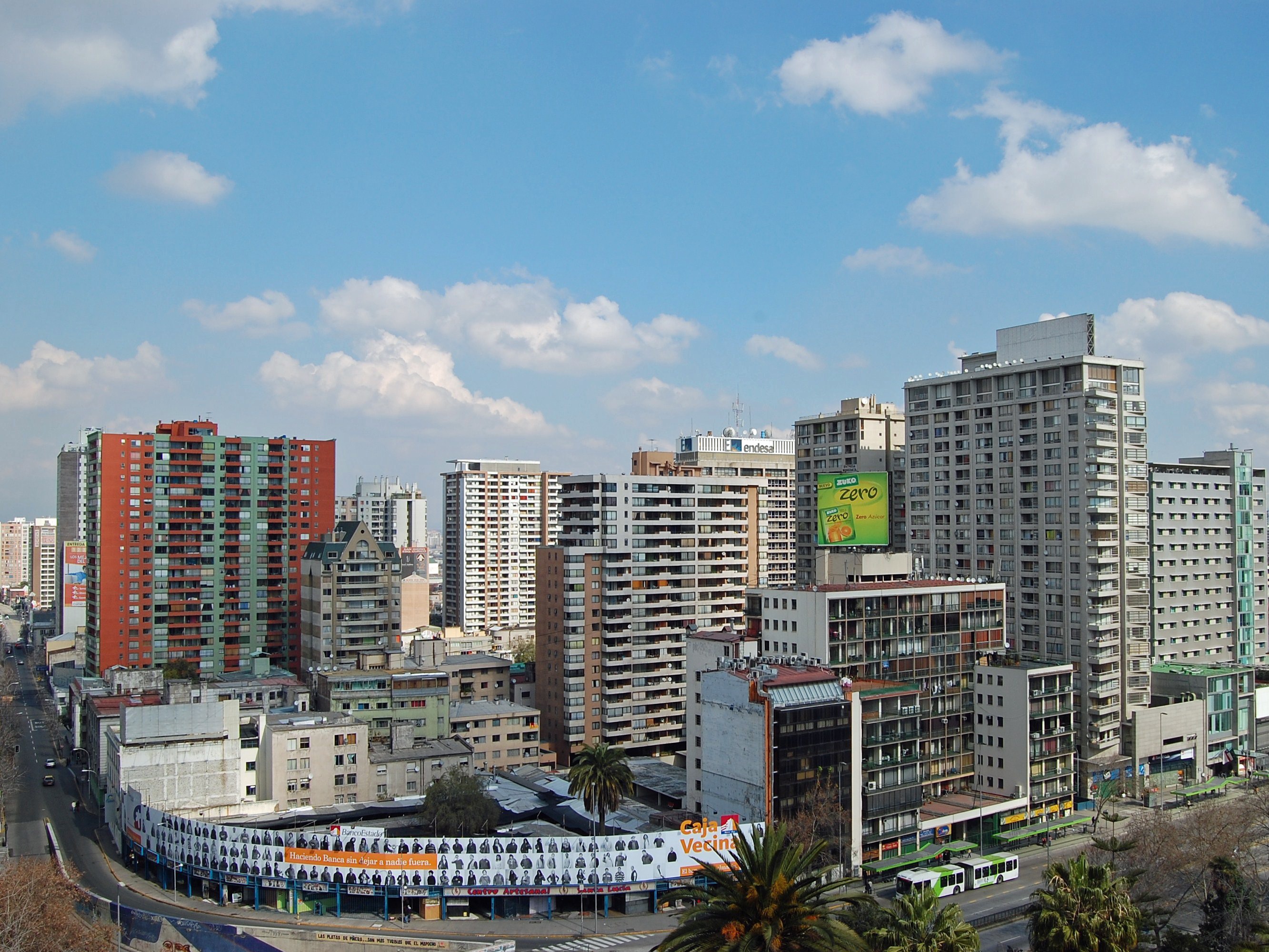
About San Antonio
About San Antonio


Where You'll Go


