Mesmerizing Melanesia
Mesmerizing Melanesia
Cruise overview
WHY BOOK WITH US?
- ✔ The Deluxe Cruises’ team has extensive experience in ultra-luxury cruising.
- ✔ Call now to speak to our helpful and experienced Cruise Concierge team.
- ✔ Enjoy our Unique Deluxe Cruises Bonus for substantial savings.
- ✔ Our team will tailor your holiday to your exacting requirements.
- ✔ As agents, we work under the protection of each cruise lines ABTA / ATOL licences
About Sydney, New South Wales
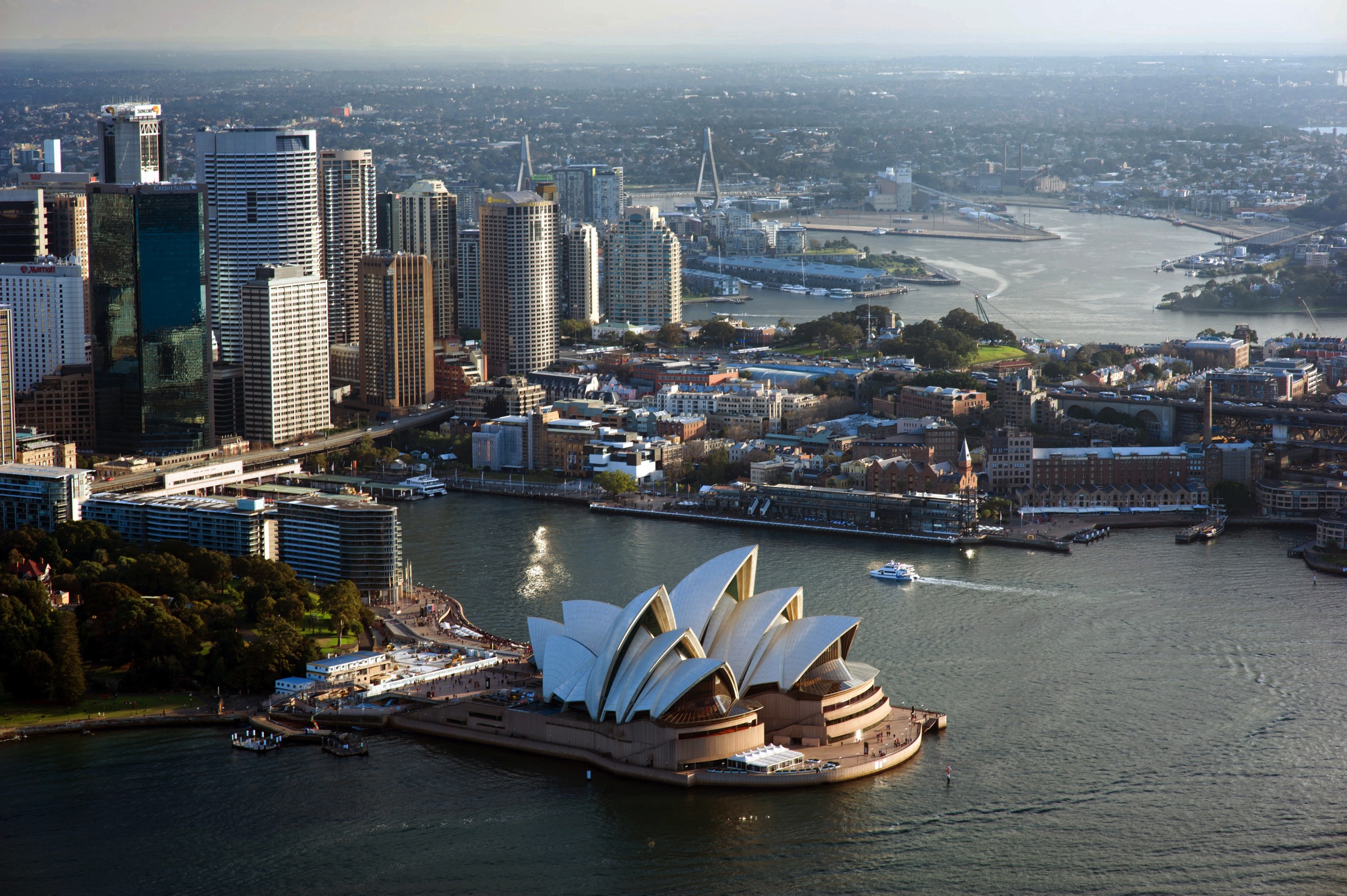
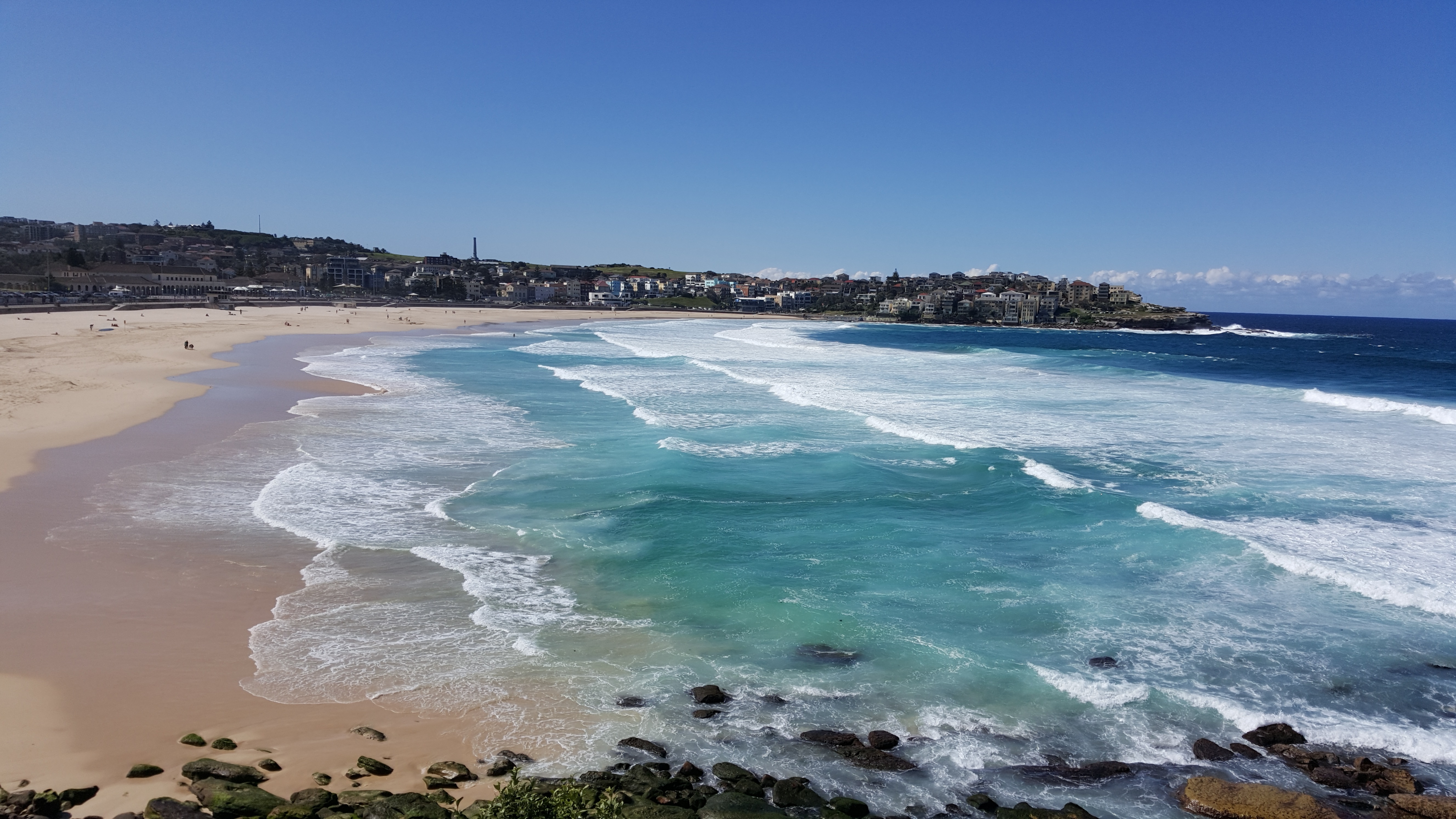
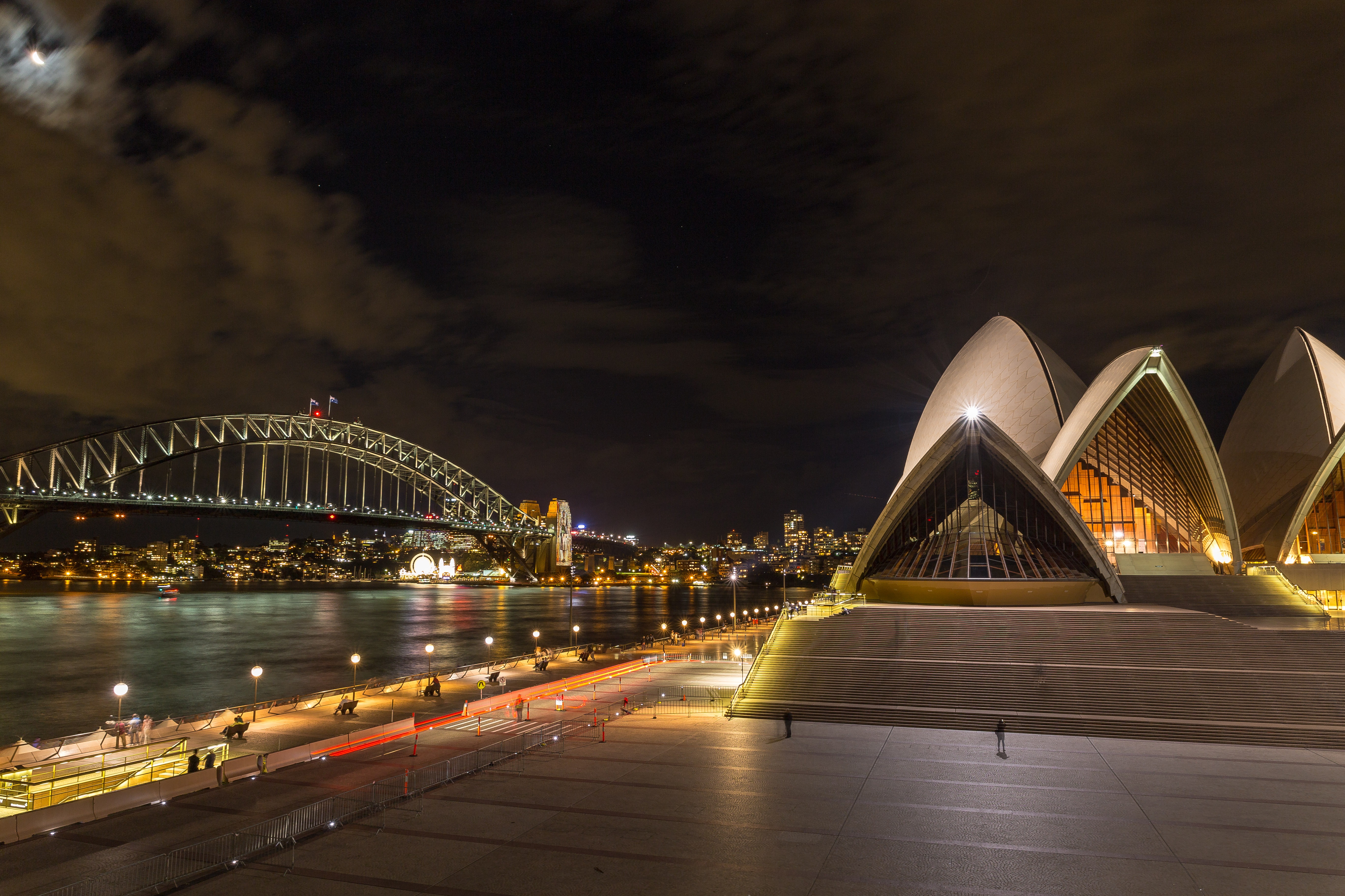
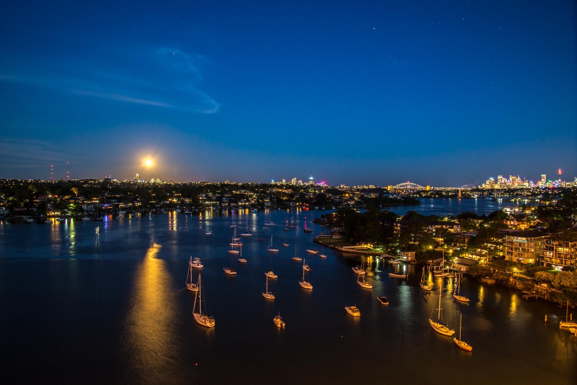
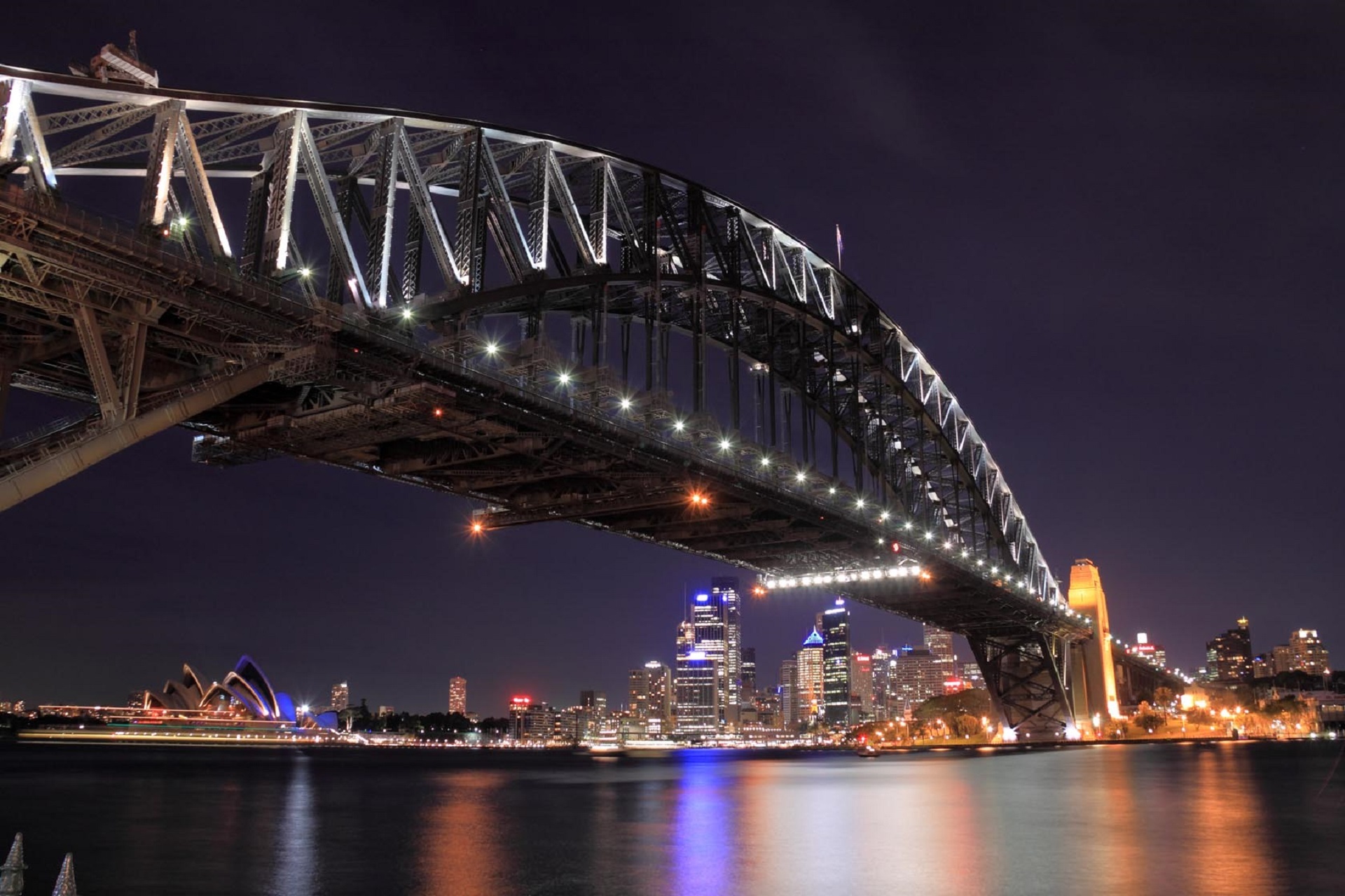
Sydney belongs to the exclusive club of cities that generate excitement. At the end of a marathon flight there's renewed vitality in the cabin as the plane circles the city, where thousands of yachts are suspended on the dark water and the sails of the Opera House glisten in the distance. Blessed with dazzling beaches and a sunny climate, Sydney is among the most beautiful cities on the planet.With 4.6 million people, Sydney is the biggest and most cosmopolitan city in Australia. A wave of immigration from the 1950s has seen the Anglo-Irish immigrants who made up the city's original population joined by Italians, Greeks, Turks, Lebanese, Chinese, Vietnamese, Thais, and Indonesians. This intermingling has created a cultural vibrancy and energy—and a culinary repertoire—that was missing only a generation ago.Sydneysiders embrace their harbor with a passion. Indented with numerous bays and beaches, Sydney Harbour is the presiding icon for the city, and urban Australia. Captain Arthur Phillip, commander of the 11-ship First Fleet, wrote in his diary when he first set eyes on the harbor on January 26, 1788: "We had the satisfaction of finding the finest harbor in the world."Although a visit to Sydney is an essential part of an Australian experience, the city is no more representative of Australia than Los Angeles is of the United States. Sydney has joined the ranks of the great cities whose characters are essentially international. What Sydney offers is style, sophistication, and great looks—an exhilarating prelude to the continent at its back door.

About Brisbane, Queensland
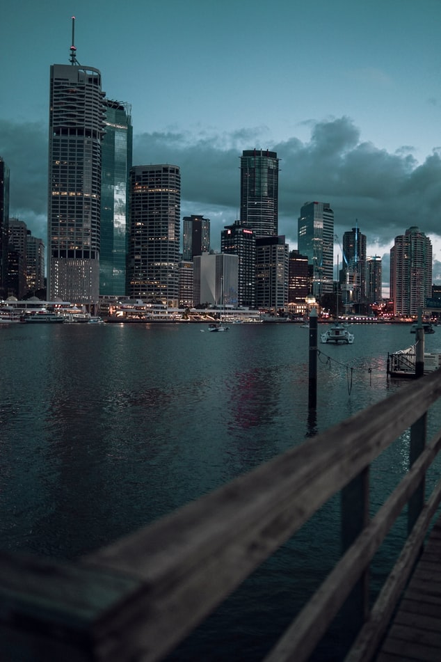
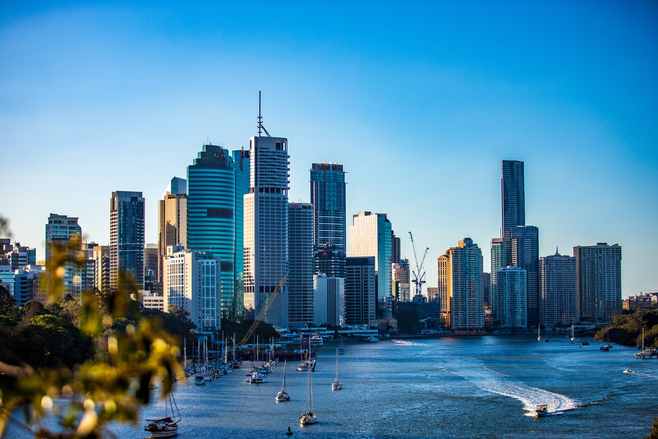
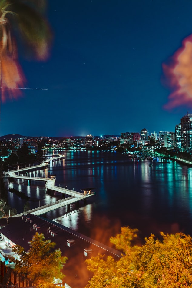
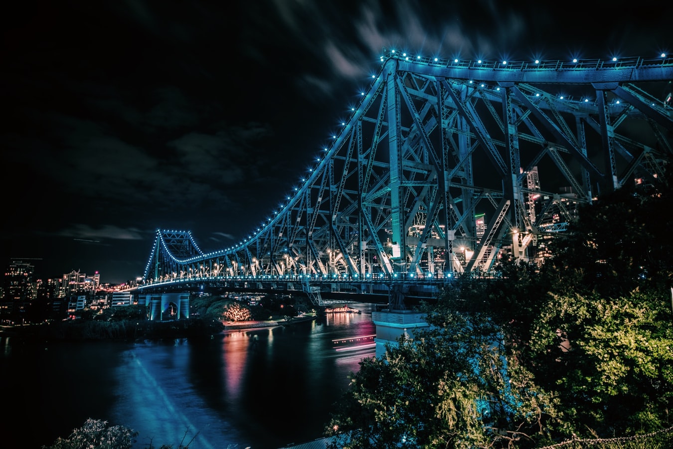
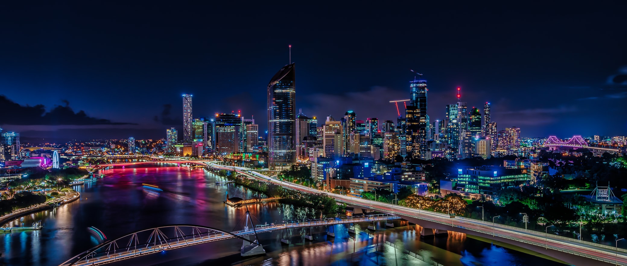
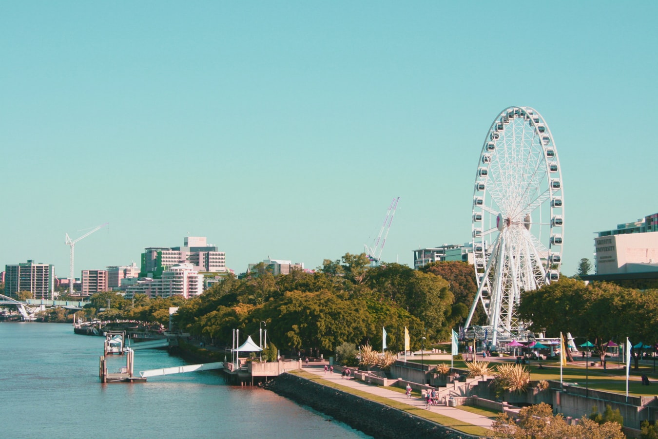
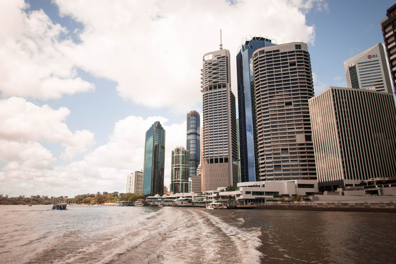
Founded in 1824 on the banks of the wide, meandering Brisbane River, the former penal colony of Brisbane was for many years regarded as just a big country town. Many beautiful timber Queenslander homes, built in the 1800s, still dot the riverbanks and inner suburbs, and in spring the city's numerous parks erupt in a riot of colorful jacaranda, poinciana, and bougainvillea blossoms. Today the Queensland capital is one of Australia's most up-and-coming cities: glittering high-rises mark its polished business center, slick fashion boutiques and restaurants abound, and numerous outdoor attractions beckon. In summer, temperatures here are broilingly hot and days are often humid, a reminder that this city is part of a subtropical region. Wear SPF 30-plus sunscreen and a broad-brimmed hat outdoors, even on overcast days.Brisbane's inner suburbs, a 5- to 10-minute drive or 15- to 20-minute walk from the city center, have a mix of intriguing eateries and quiet accommodations. Fortitude Valley combines Chinatown with a cosmopolitan mix of clubs, cafés, and boutiques. Spring Hill has several high-quality hotels, and Paddington, New Farm, Petrie Terrace, West End, and Woolloongabba are full of an eclectic mix of restaurants and bars. Brisbane is also a convenient base for trips to the Sunshine and Gold coasts, the mountainous hinterlands, and the Moreton Bay islands.
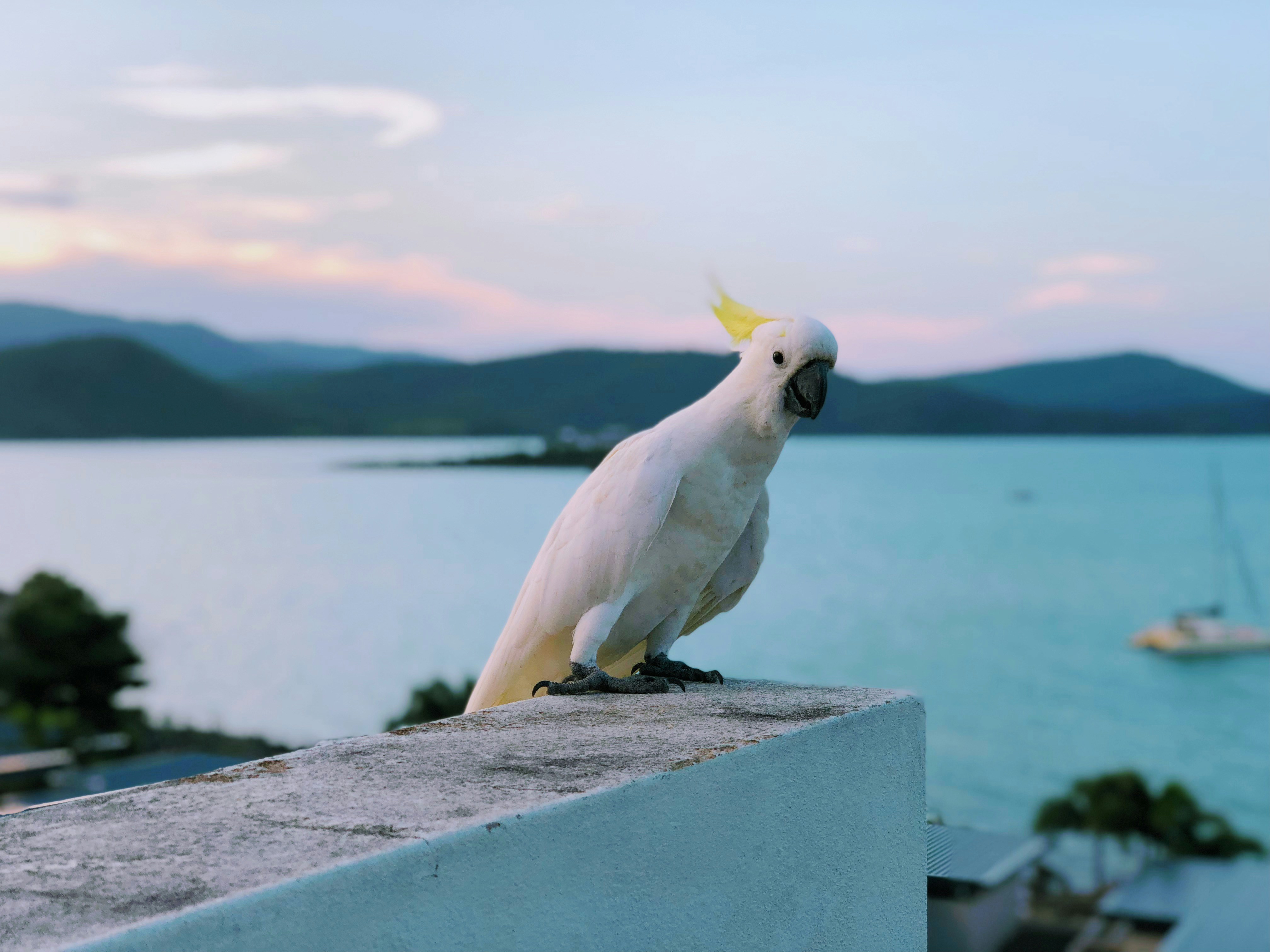
About Airlie Beach
About Cairns, Queensland
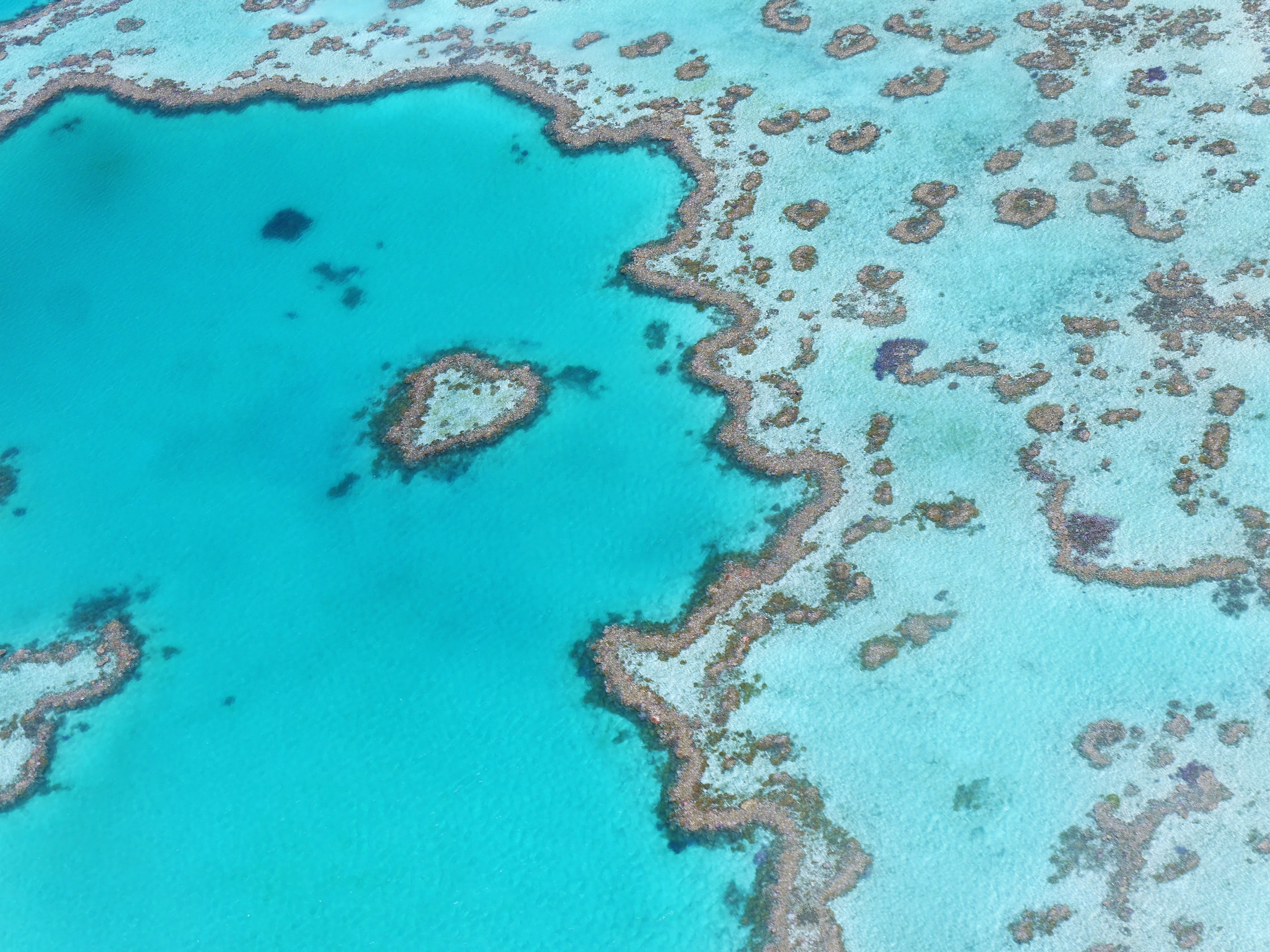
Tourism is the lifeblood of Cairns (pronounced Caans). The city makes a good base for exploring the wild top half of Queensland, and tens of thousands of international travelers use it as a jumping-off point for activities such as scuba diving and snorkeling trips to the Barrier Reef, as well as boating, fishing, parasailing, scenic flights, and rain-forest treks.It's a tough environment, with intense heat and fierce wildlife. Along with wallabies and grey kangaroos in the savannah and tree kangaroos in the rain forest, you'll find stealthy saltwater crocodiles, venomous snakes, and jellyfish so deadly they put the region’s stunning beaches off- limits to swimmers for nearly half the year. Yet despite this formidable setting, Cairns and tropical North Queensland are far from intimidating places. The people are warm and friendly, the sights spectacular, and—at the right time of year—the beachside lounging is world-class.
About Cooktown, Queensland
About Darwin, Northern Territory
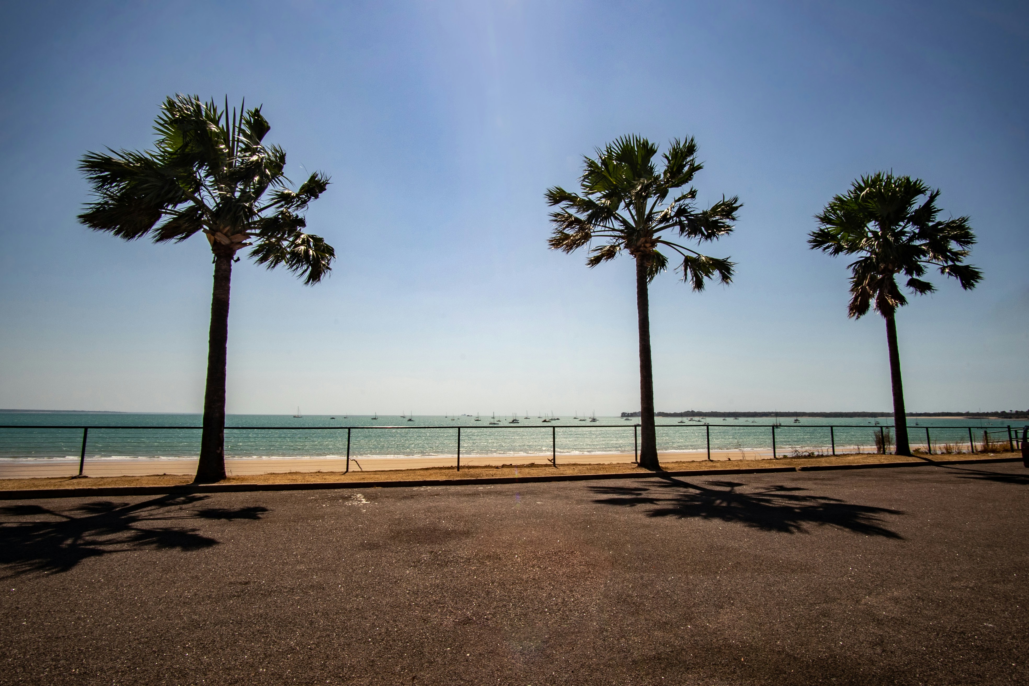
Darwin is Australia's most colorful, and exotic, capital city. Surrounded on three sides by the turquoise waters of the Timor Sea, the streets are lined with tropical flowers and trees. Warm and dry in winter, hot and steamy in summer, it's a relaxed and casual place, as well as a beguiling blend of tropical frontier outpost and Outback hardiness. Thanks to its close proximity to Southeast Asia and its multicultural population it also seems more like Asia than the rest of Australia. Darwin is a city that has always had to fight for its survival. The seductiveness of contemporary Darwin lifestyles belies a history of failed attempts that date from 1824 when Europeans attempted to establish an enclave in this harsh, unyielding climate. The original 1869 settlement, called Palmerston, was built on a parcel of mangrove wetlands and scrub forest that had changed little in 15 million years. It was not until 1911, after it had already weathered the disastrous cyclones of 1878, 1882, and 1897, that the town was named after the scientist who had visited Australia's shores aboard the Beagle in 1839. During World War II it was bombed more than 60 times, as the harbor full of warships was a prime target for the Japanese war planes. Then, on the night of Christmas Eve 1974, the city was almost completely destroyed by Cyclone Tracy, Australia’s greatest natural disaster. It's a tribute to those who stayed and to those who have come to live here after Tracy that the rebuilt city now thrives as an administrative and commercial center for northern Australia. Old Darwin has been replaced by something of an edifice complex—such buildings as Parliament House and the Supreme Court all seem very grand for such a small city, especially one that prides itself on its casual, outdoor-centric lifestyle. Today Darwin is the best place from which to explore Australia's Top End, with its wonders of Kakadu and the Kimberley region.
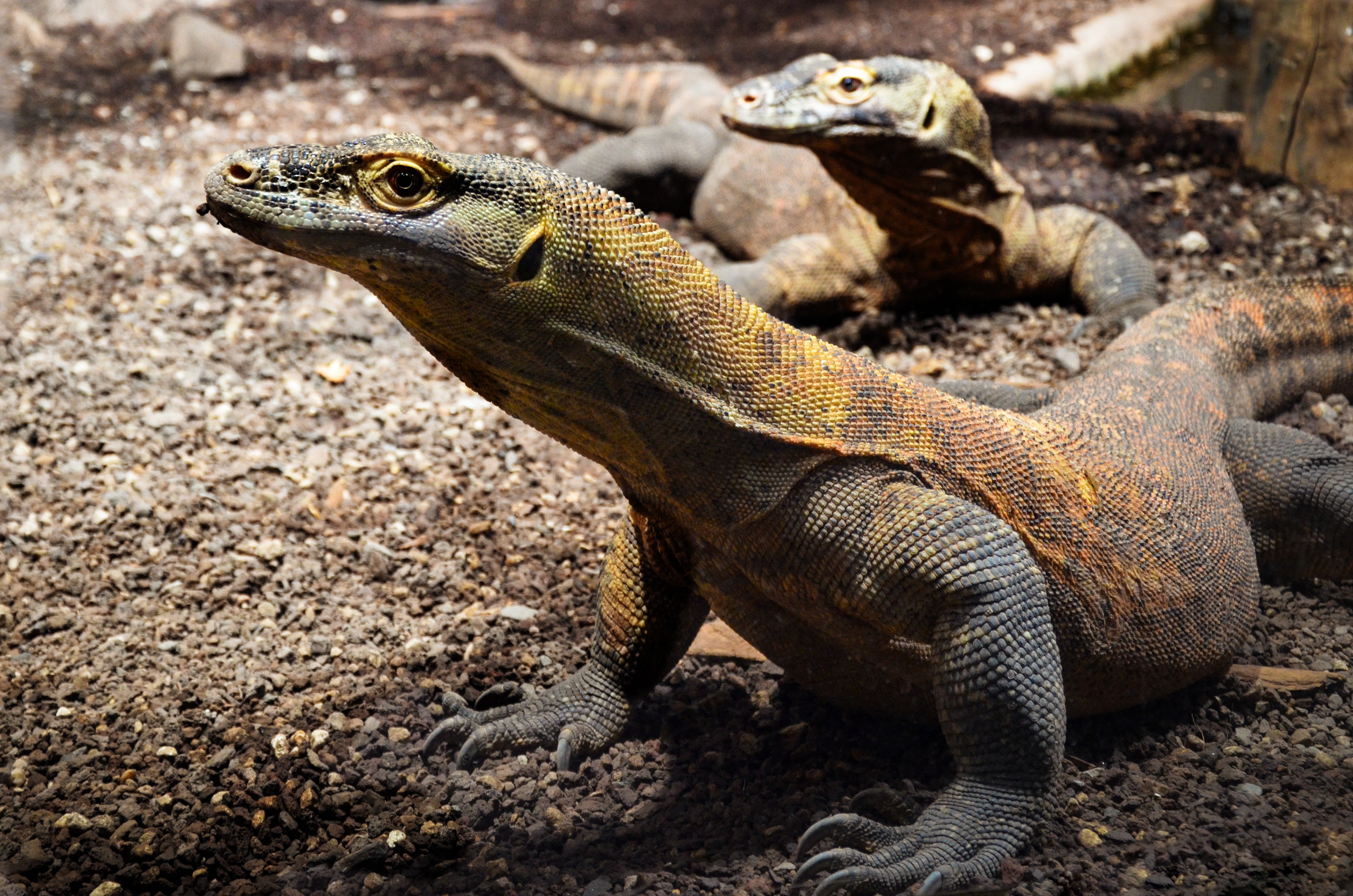
About Komodo Island
Pink Beach earned its name for the way the beach can appear to have a rosy hue in certain lights. The color comes from small flecks of red coral mixed in with the fine white reef sand. With a few trees along the beach for shade, this stretch of coast makes a fine place to relax or enjoy a snorkel or dive in the crystal clear waters. It is possible to spot a striped clown fish nestled among the protective tentacles of its sea anemone host, or to see a grouper lazily swimming by a flamboyant soft coral. The reef here is now protected by law and the maturing corals are a joy to behold.
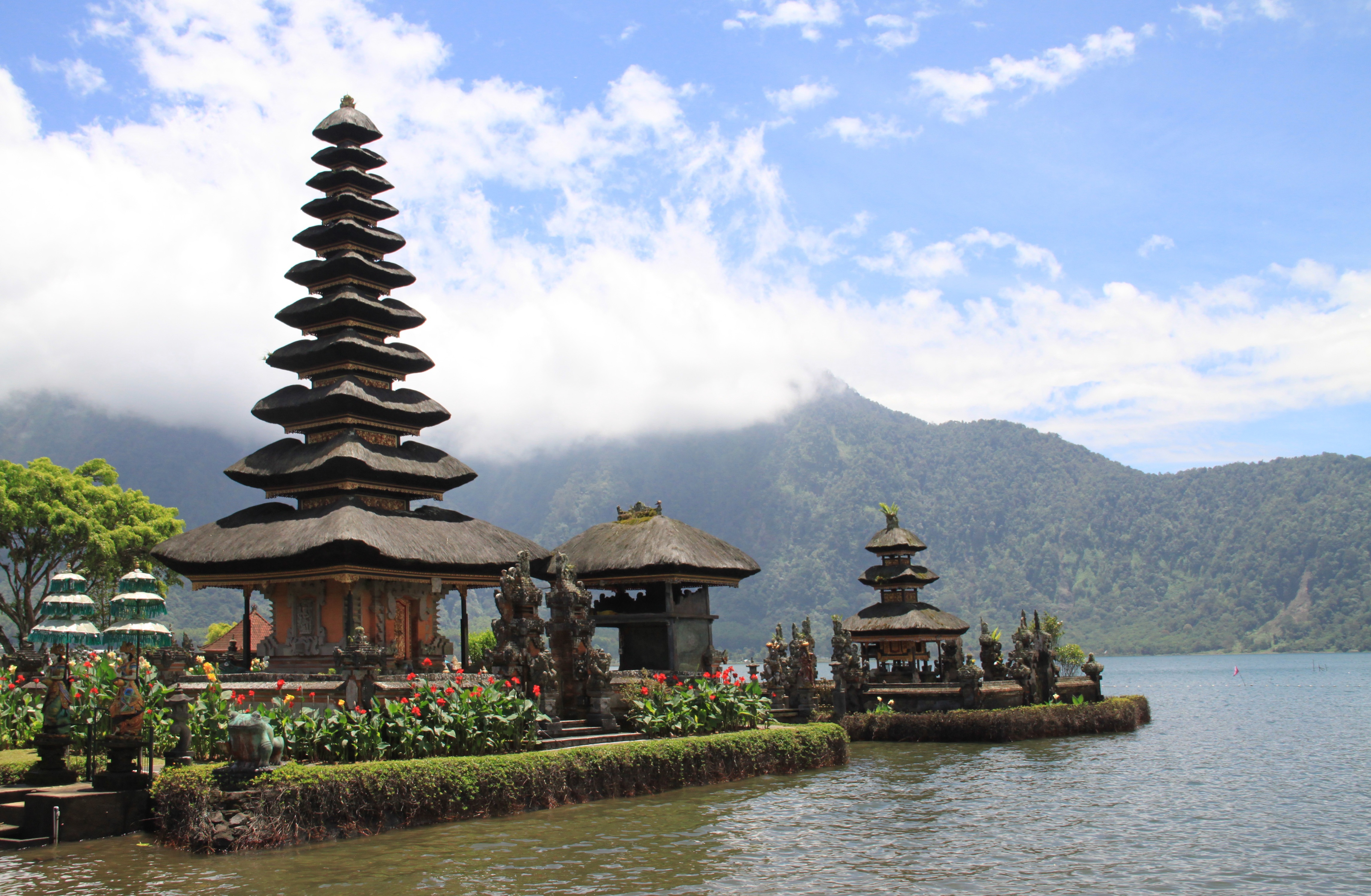
About Celukan Bawang, Bali
About Benoa, Bali
Bali really is as alluring as everyone says. This island, slightly bigger than Delaware, has it all: beaches, volcanoes, terraced rice fields, forests, renowned resorts, surfing, golf, and world-class dive sites. But what sets Bali apart from other nearby tropical destinations is Balinese tradition, and villagers dedicated to celebrating it. The hundreds of temples, dances, rituals, and crafts linked to their ancient Hindu faith aren't a show for tourists, but a living, breathing culture in which visitors are warmly received by the Balinese, who cherish their own identities.
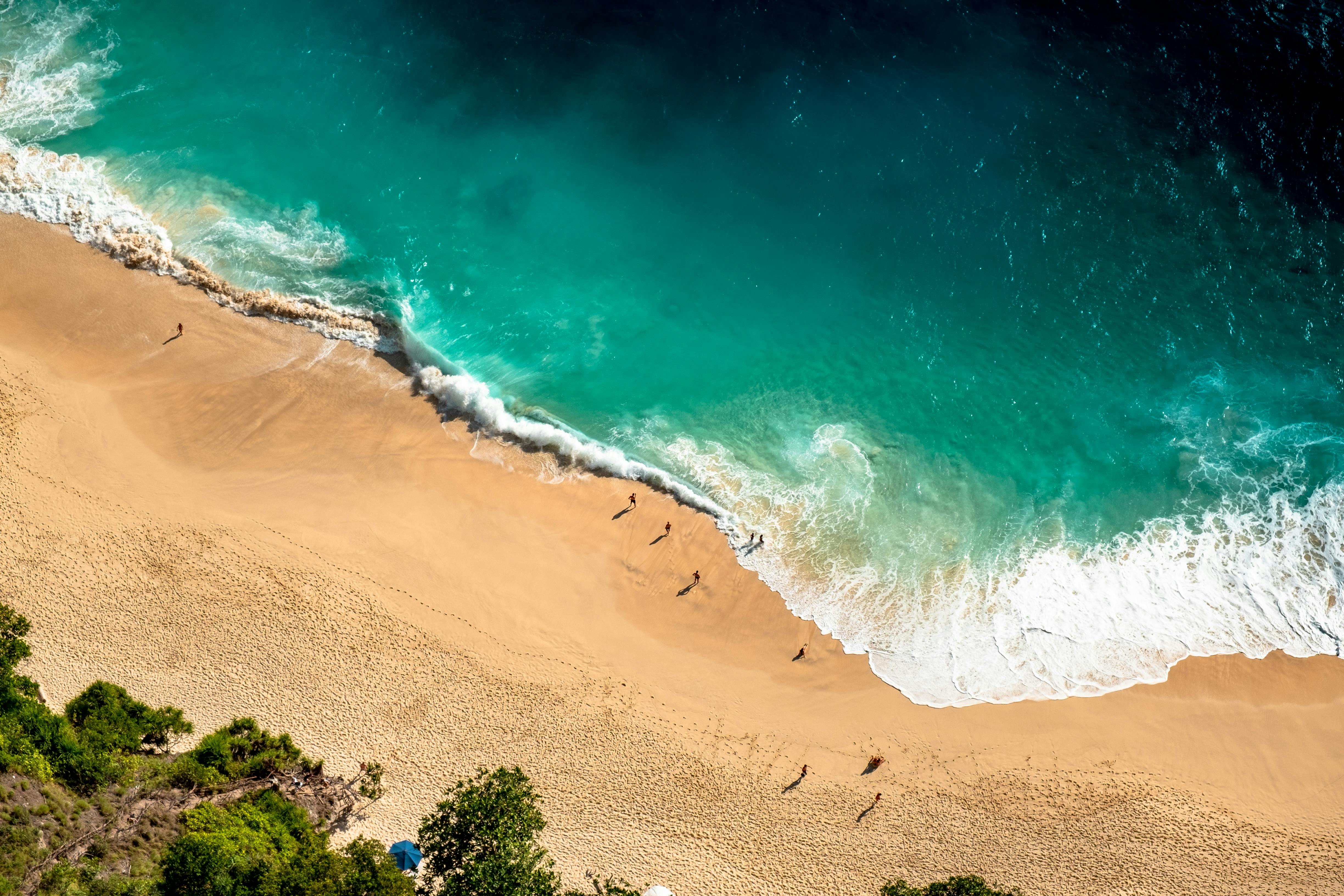

About Komodo Island
Pink Beach earned its name for the way the beach can appear to have a rosy hue in certain lights. The color comes from small flecks of red coral mixed in with the fine white reef sand. With a few trees along the beach for shade, this stretch of coast makes a fine place to relax or enjoy a snorkel or dive in the crystal clear waters. It is possible to spot a striped clown fish nestled among the protective tentacles of its sea anemone host, or to see a grouper lazily swimming by a flamboyant soft coral. The reef here is now protected by law and the maturing corals are a joy to behold.

About Kupang
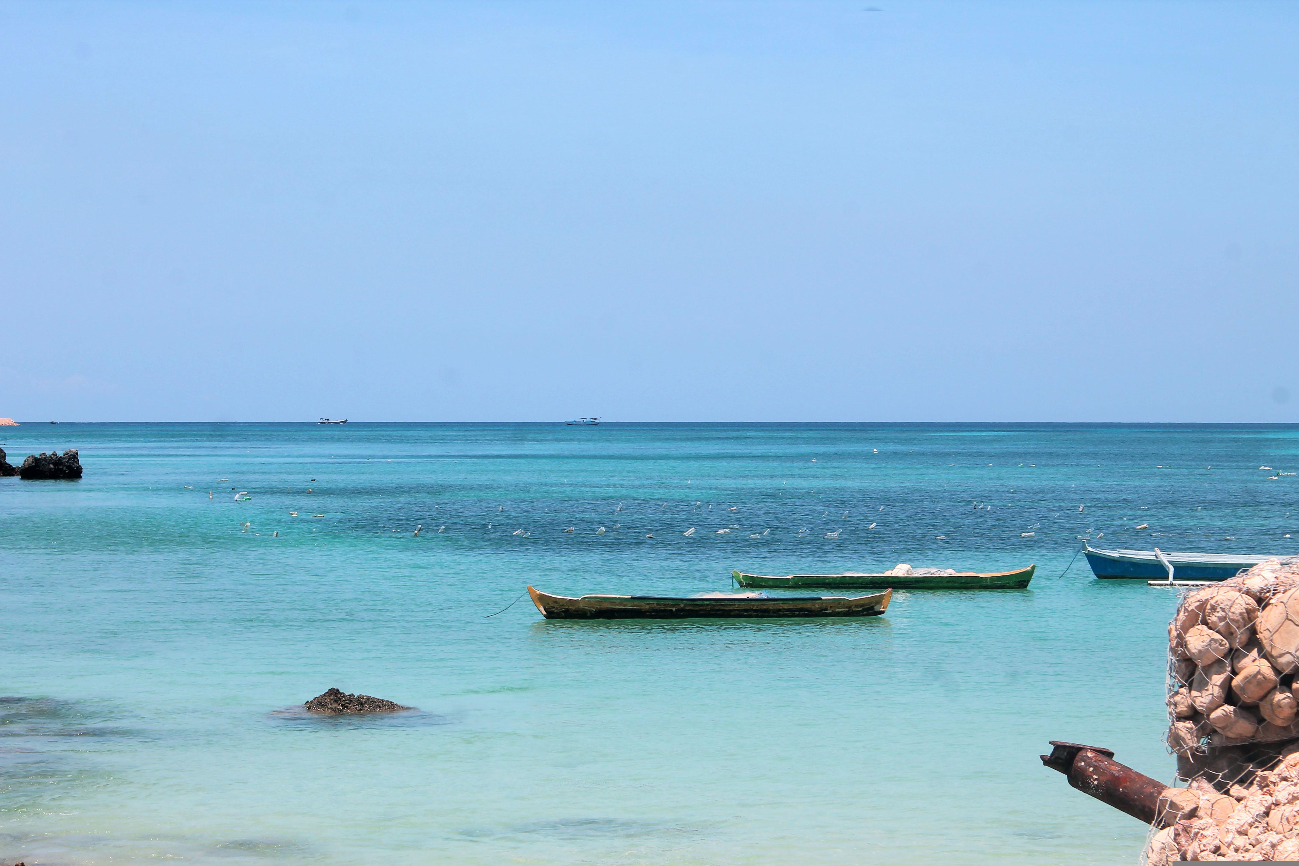
About Darwin, Northern Territory
Darwin is Australia's most colorful, and exotic, capital city. Surrounded on three sides by the turquoise waters of the Timor Sea, the streets are lined with tropical flowers and trees. Warm and dry in winter, hot and steamy in summer, it's a relaxed and casual place, as well as a beguiling blend of tropical frontier outpost and Outback hardiness. Thanks to its close proximity to Southeast Asia and its multicultural population it also seems more like Asia than the rest of Australia. Darwin is a city that has always had to fight for its survival. The seductiveness of contemporary Darwin lifestyles belies a history of failed attempts that date from 1824 when Europeans attempted to establish an enclave in this harsh, unyielding climate. The original 1869 settlement, called Palmerston, was built on a parcel of mangrove wetlands and scrub forest that had changed little in 15 million years. It was not until 1911, after it had already weathered the disastrous cyclones of 1878, 1882, and 1897, that the town was named after the scientist who had visited Australia's shores aboard the Beagle in 1839. During World War II it was bombed more than 60 times, as the harbor full of warships was a prime target for the Japanese war planes. Then, on the night of Christmas Eve 1974, the city was almost completely destroyed by Cyclone Tracy, Australia’s greatest natural disaster. It's a tribute to those who stayed and to those who have come to live here after Tracy that the rebuilt city now thrives as an administrative and commercial center for northern Australia. Old Darwin has been replaced by something of an edifice complex—such buildings as Parliament House and the Supreme Court all seem very grand for such a small city, especially one that prides itself on its casual, outdoor-centric lifestyle. Today Darwin is the best place from which to explore Australia's Top End, with its wonders of Kakadu and the Kimberley region.

About Port Moresby
About Alotau
Alotau is the provincial capital of the Milne Bay Province located in the southeast bay of Papua New Guinea. The town and surrounding area has been an important staging ground during World War II and we will see remains and memorials dating back or referring to the war. On a tour of the town, visitors will appreciate lovely vistas of the bay and experience the markets, which are frequented not only by locals, but also by islanders selling their products or looking for produce to take back into Milne Bay. Alotau is an important port facility for the islands and attracts many vendors of handicrafts from different islands.
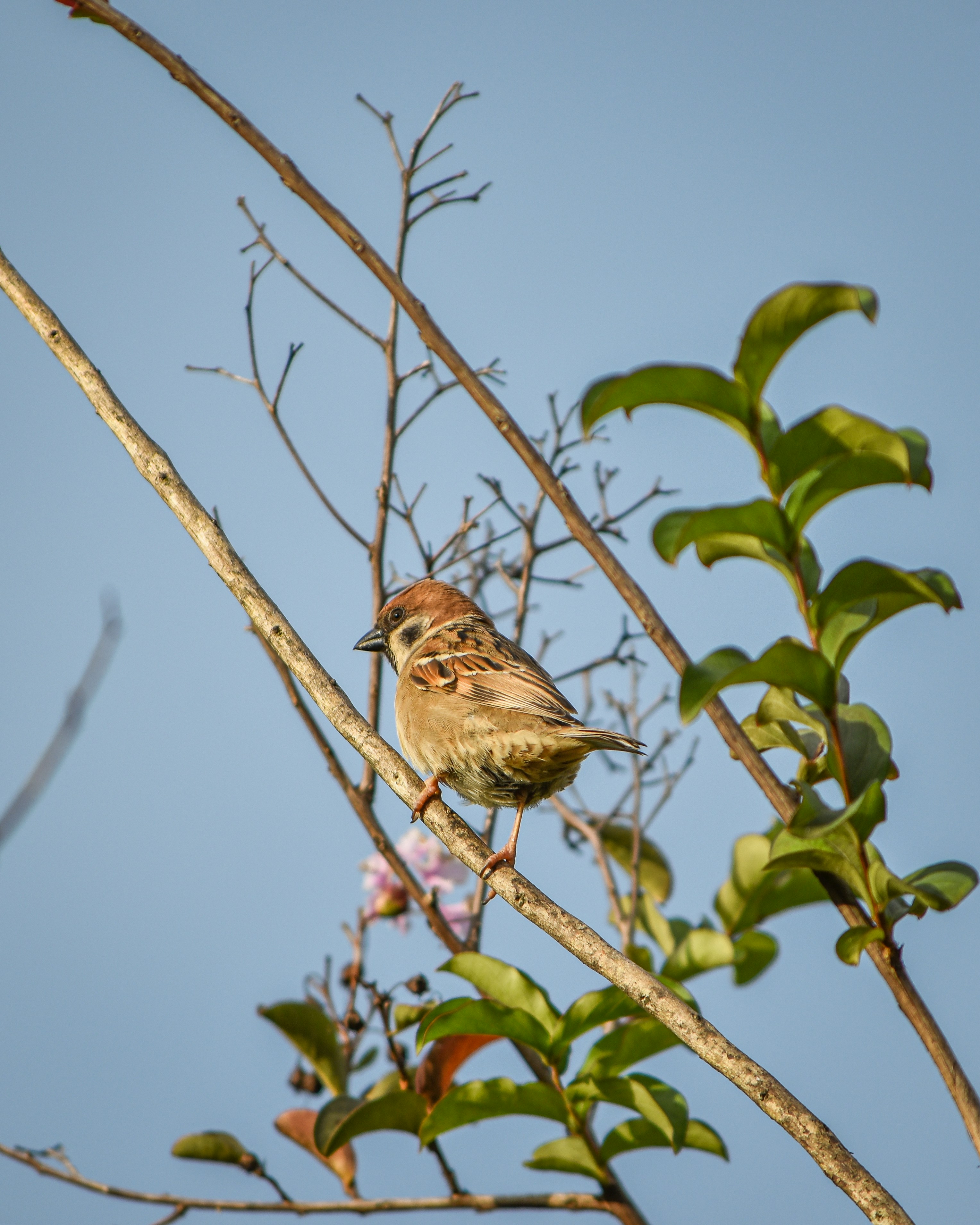
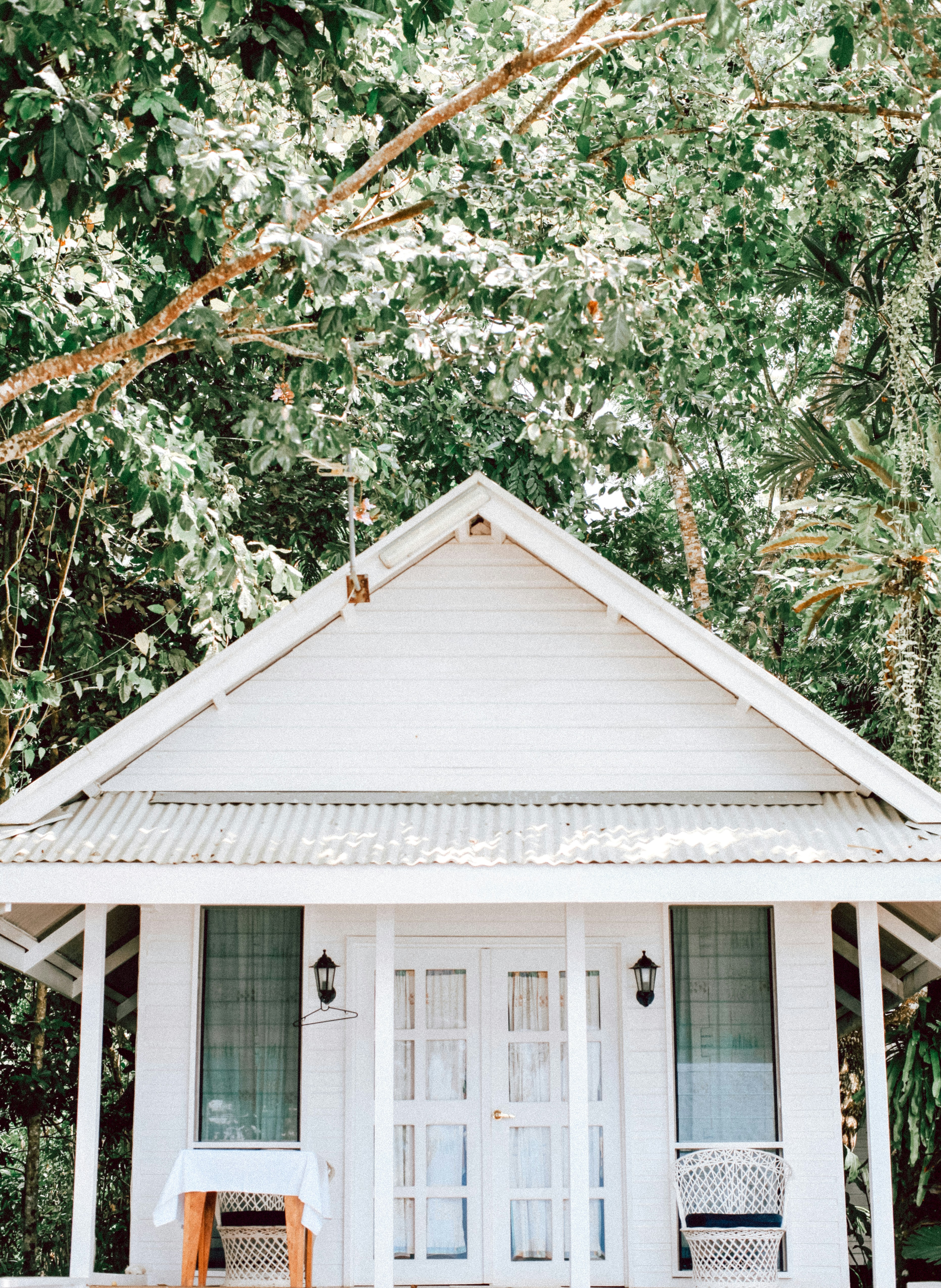
About Honiara, Guadalcanal Island
Honiara is the capital city of the Solomon Islands on the north-western coast of Guadalcanal Island. It is the hub of all activity in the archipelago which has recently undergone an ‘urban boom’. Discover the cities beautiful landscapes and the significance of the city in the World War II.
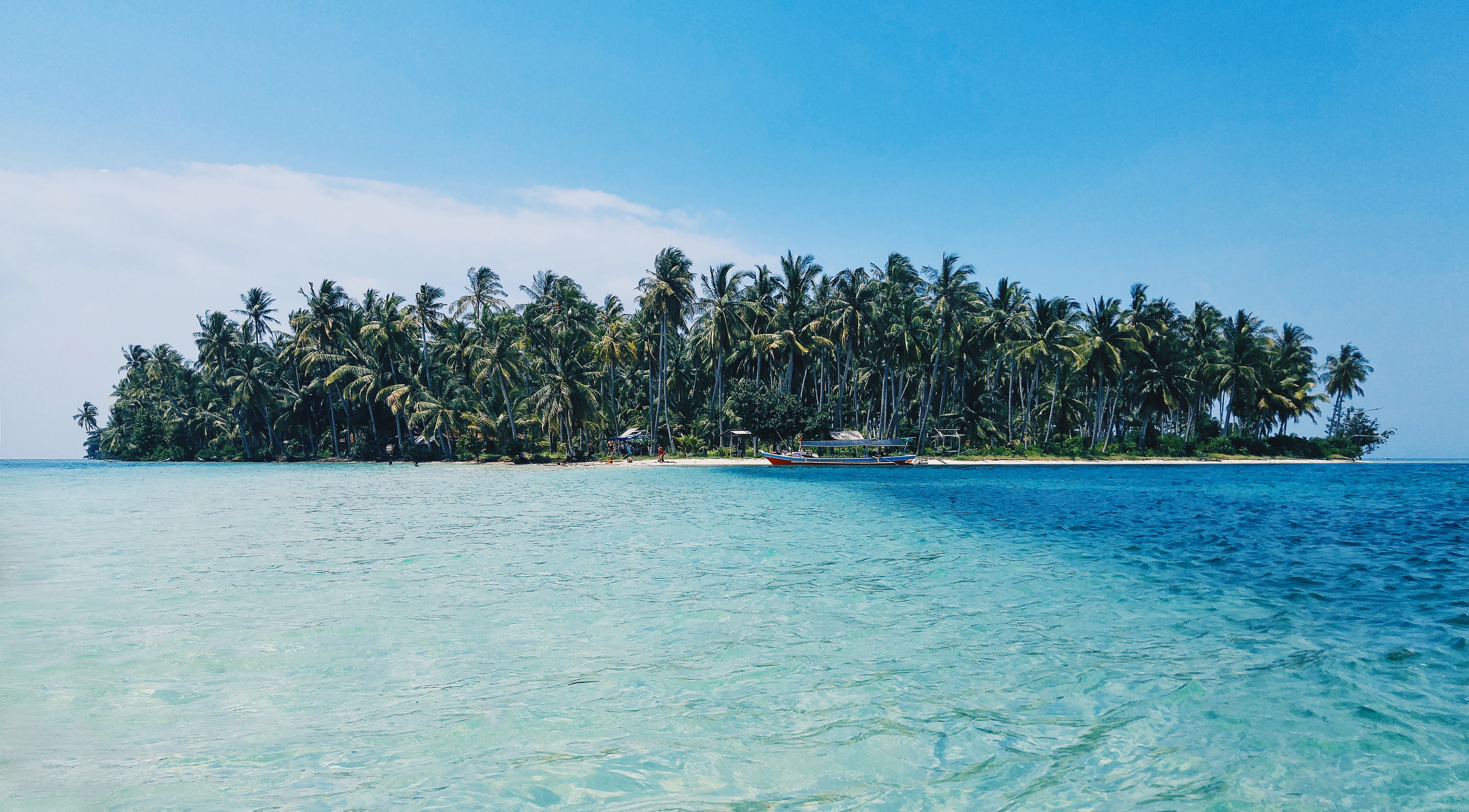
About Luganville

About Port Vila
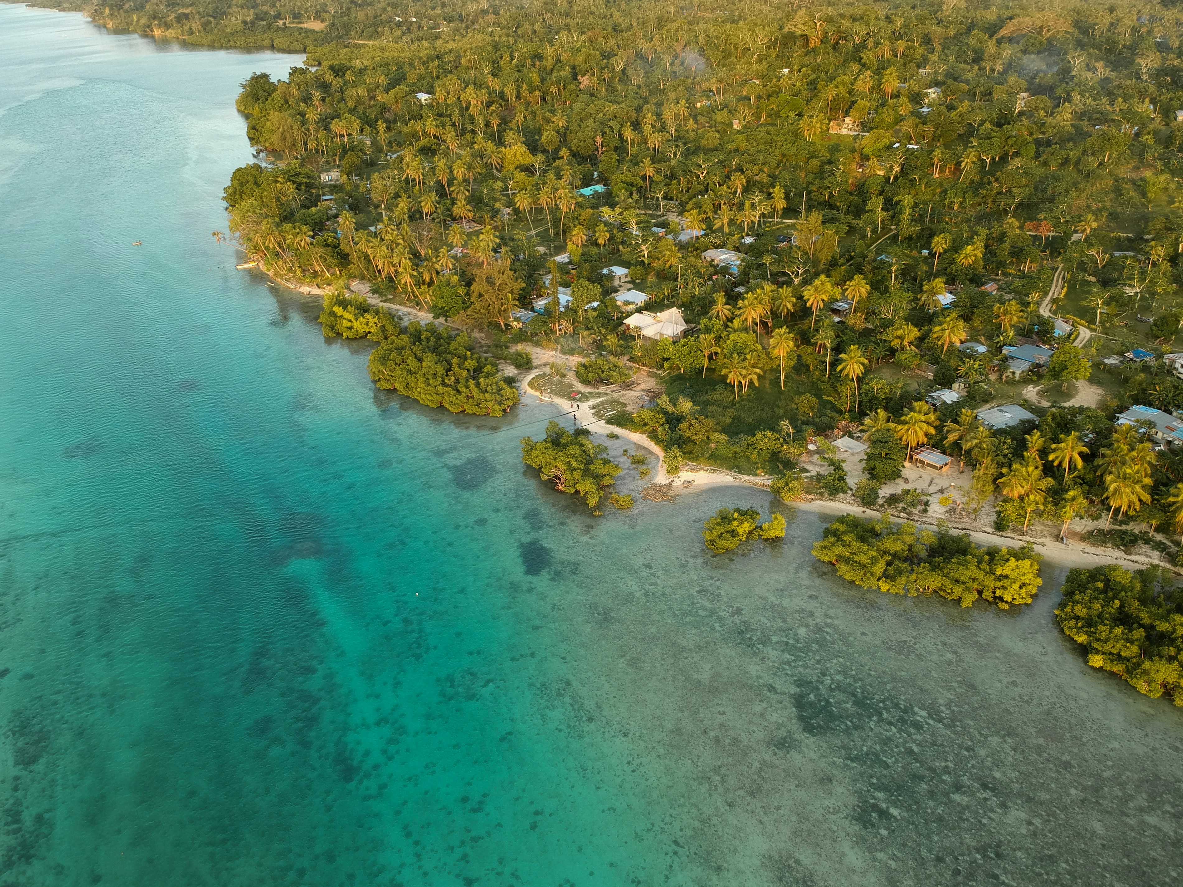
Vanuatu is an island nation located in the southern Pacific Ocean. The archipelago, which is of volcanic origin, is approximately 1,090 miles (about 1,750 kilometres) east of northern Australia, approximately 310 miles (about 500 kilometres) northeast of New Caledonia, west of Fiji and southeast of the Solomon Islands, near New Guinea. Located on Mélé Bay along the southwest coast of Éfaté, Port Vila is the capital and largest city of Vanuatu, as well as its commercial and economic centre. Although Port Vila's British and French influences are apparent, its multinational population includes ni-Vanuatu, British, French, Chinese, and Vietnamese citizens. An active commercial port, the city is home to hospitals, hotels, casinos, markets and shopping districts, a sports stadium, cultural centre, teacher-training institution, campus of the University of the South Pacific, and several meat- and fish-processing plants. The municipality of Port Vila is divided into four wards, Malapoa-Tagabe, Anabrou-Melcofe-Tassiriki, Centre and South. The area occupied by Port Vila has been inhabited by Melanesian people for thousands of years. In 2004, an archaeological expedition unearthed a burial site with 25 tombs, skeletons and pieces of ceramic pottery dating from 1300 B.C. The Vanuatu Islands first had contact with Europeans in 1606 with the arrival of Portuguese explorer Pedro Fernandes de Queirós. Europeans did not return until 1768, when Louis Antoine de Bougainville rediscovered the islands. In 1774, Captain Cook called the islands the 'New Hebrides', a name that would last until their independence in 1980. In 1825, sandalwood was discovered on the island of Erromango, prompting a rush of immigrants that included Catholic and Protestant missionaries from European and North America, as well as settlers looking for land to farm cotton, coffee, cocoa, bananas, and coconuts. British subjects from Australia made up the majority of settlers, but the establishment of the Caledonian Company of the New Hebrides in 1882 attracted more French subjects. The land around Port Vila was converted into the municipality of Franceville in 1889. By the start of the 20th century, the French outnumbered the British, and the two nations agreed to govern the islands jointly by way of the British-French Condominium. During World War II, Port Vila was an American and Australian airbase. The New Hebrides National Party was established in the early-1970s. Renamed Vanua'aku Pati in 1974, the party pushed for independence. In 1980, amidst the brief Coconut War, the Republic of Vanuatu was created. The economies of Port Vila and Vanuatu are supported by the agriculture, offshore financial services and cattle industries. However, the abundant tropical beauty of Vanuatu has made Port Vila a popular tourist destination for outdoor and nature enthusiasts alike. Renowned for its tropical climate and exquisite, white-sand beaches and world-class fishing, the archipelago is a region of spectacular geographic diversity that includes spectacular volcanoes, mountains and valleys, along with idyllic jungles, rainforests, botanical gardens, mineral springs, and waterfalls. What's more, Port Vila offers easy access to exploring the city, Vanuatu and the offshore islands that comprise this wonderful South Pacific island chain. Port Vila consists of a diverse blend of Melanesian, Eastern and Western cultures that presents a unique opportunity to discover the people, traditions and history of Vanuatu. Cultural village tours are a fantastic way to meet the locals and experience indigenous lifestyles and customs through storytelling, music, dance, kava-tasting, and a traditional Melanesian feast. The evolution of Port Vila and Vanuatu can be explored during visits to the Vanuatu Cultural Centre and Museum features a collection of historical artefacts from the Vanuatu Island. Additional historic landmarks include Independence Park, the French and British residencies, Supreme Court, Georges Pompidou Building, World War I and II memorials, Tanna Coffee-Roasting Factory, and more. Vanuatu's verdant canyons, jungle-covered mountain peaks, volcanoes, waterfalls, botanical gardens, mineral springs, white-sand beaches, and rainforests invite a wide array of picturesque, memorable and exciting sightseeing venues for outdoor enthusiasts. Land-based excursions include bird-watching, bicycling and motor-biking, eco-tours, hiking through jungle and rainforest nature trails, horseback-riding at the nearby Sea Horse Ranch or Club Hippique Adventure Park, helicopter or seaplane flight-seeing, dune-bugging the beaches and jungles, 'zorbing' down the hillsides, abseiling down a cascading waterfall, volcano trekking and sandboarding, zip-lining through the jungle canopy, and golfing at the stunningly beautiful Port Vila Golf and Country Club, the only 18-hole championship course in Vanuatu and home to the PGA-sanctioned Vanuatu Open. Picturesque and fun-filled water-based excursions include swimming, boating and sailing along the exquisite coast of Port Vila and Vanuatu, deep-sea fishing for enormous dolphin, marlin, wahoo, dorado, tuna, swordfish, and sailfish, jet-skiing and high-speed jet-boating, stand-up paddle-boarding, surfing, kite-surfing, and parasailing. The archipelago also offers some of the world's finest snorkelling and diving at venues such as the Hideaway Islands Marine Reserves, JoJo Beach Club, Havannah Beach and Boat Club, and Iririki Island.Due to its compact size, Port Vila can be easily explored in just a single day.
About Lautoka
North of Nadi through sugarcane plantations and past the Sabeto Mountains is Lautoka, nicknamed the Sugar City for the local agriculture and its big processing mill. With a population of around 50,000, it's the only city besides Suva and, like the capital, has a pleasant waterfront. It's the sailing point for Blue Lagoon and Beachcomber Cruises but is otherwise unremarkable for tourists, itself having few hotels and fewer good restaurants. Locals recommend the city as a less-expensive place to shop for clothing, but note that it can take as long as 45 minutes to drive here. Legend has it that Lautoka acquired its name when two chiefs engaged in combat and one hit the other with a spear. He proclaimed "lau toka" (spear hit) and thus the future town was named.
About Suva
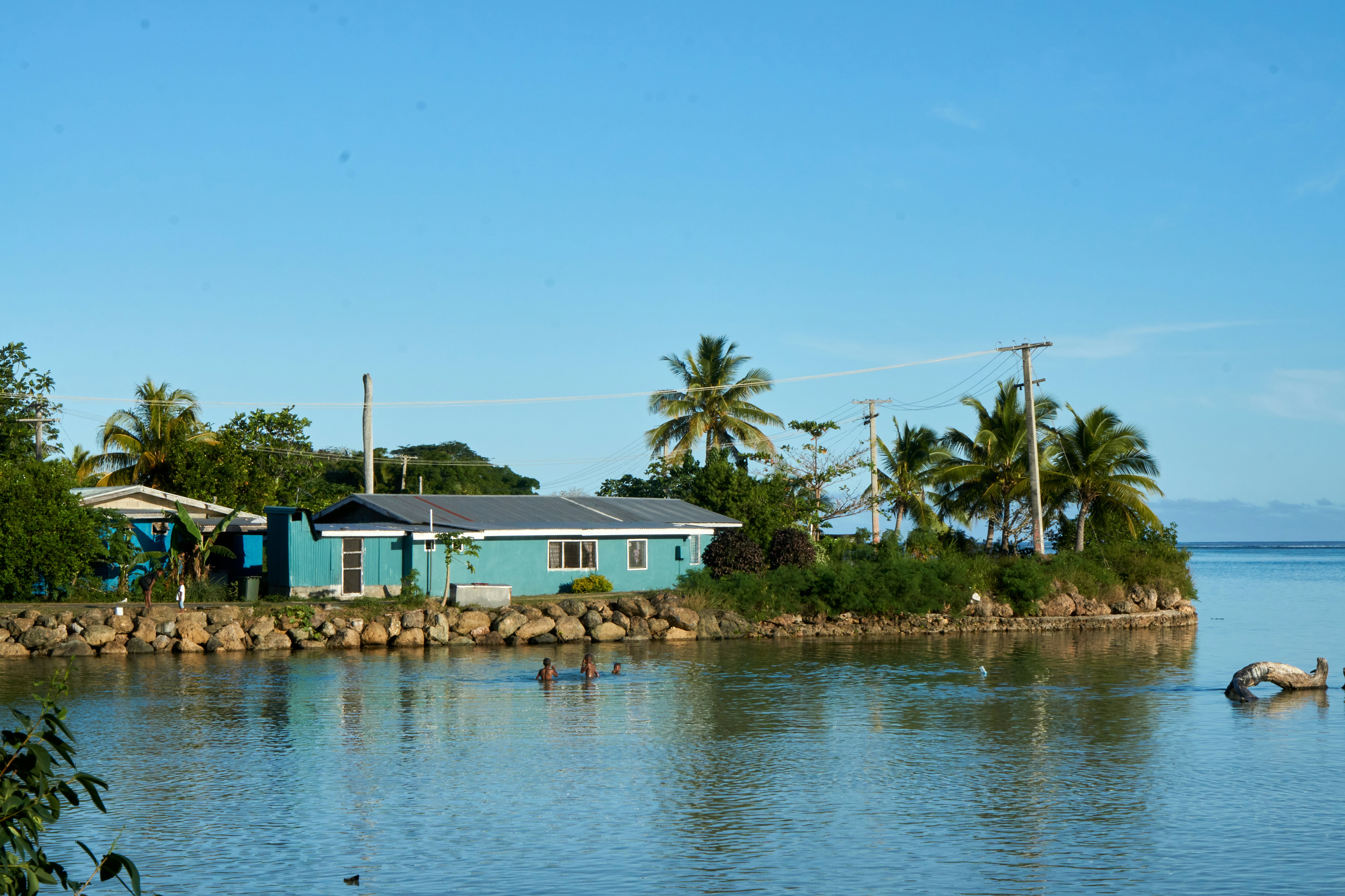
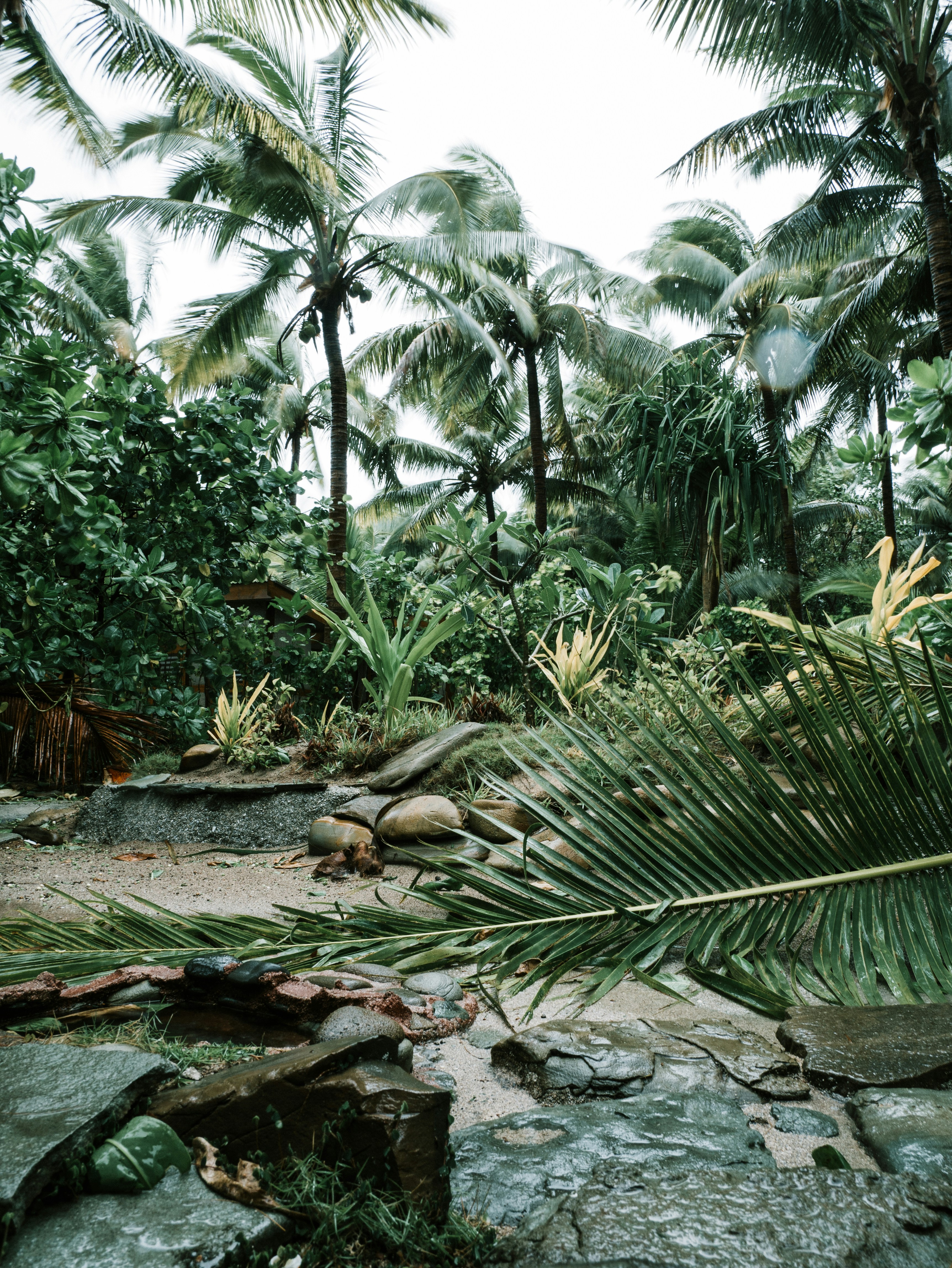
Fiji is a collection of tropical islands in the South Pacific and is well known for soft coral diving, white sandy beaches, and idyllic and peaceful surroundings. Because of its paradisiac surroundings, Fiji is a popular location for weddings and honeymoons. Suva is the capital of the Fiji archipelago, located on the southeastern coast of the island of Viti Levu and is the second most populated city of Fiji.
About Nouméa
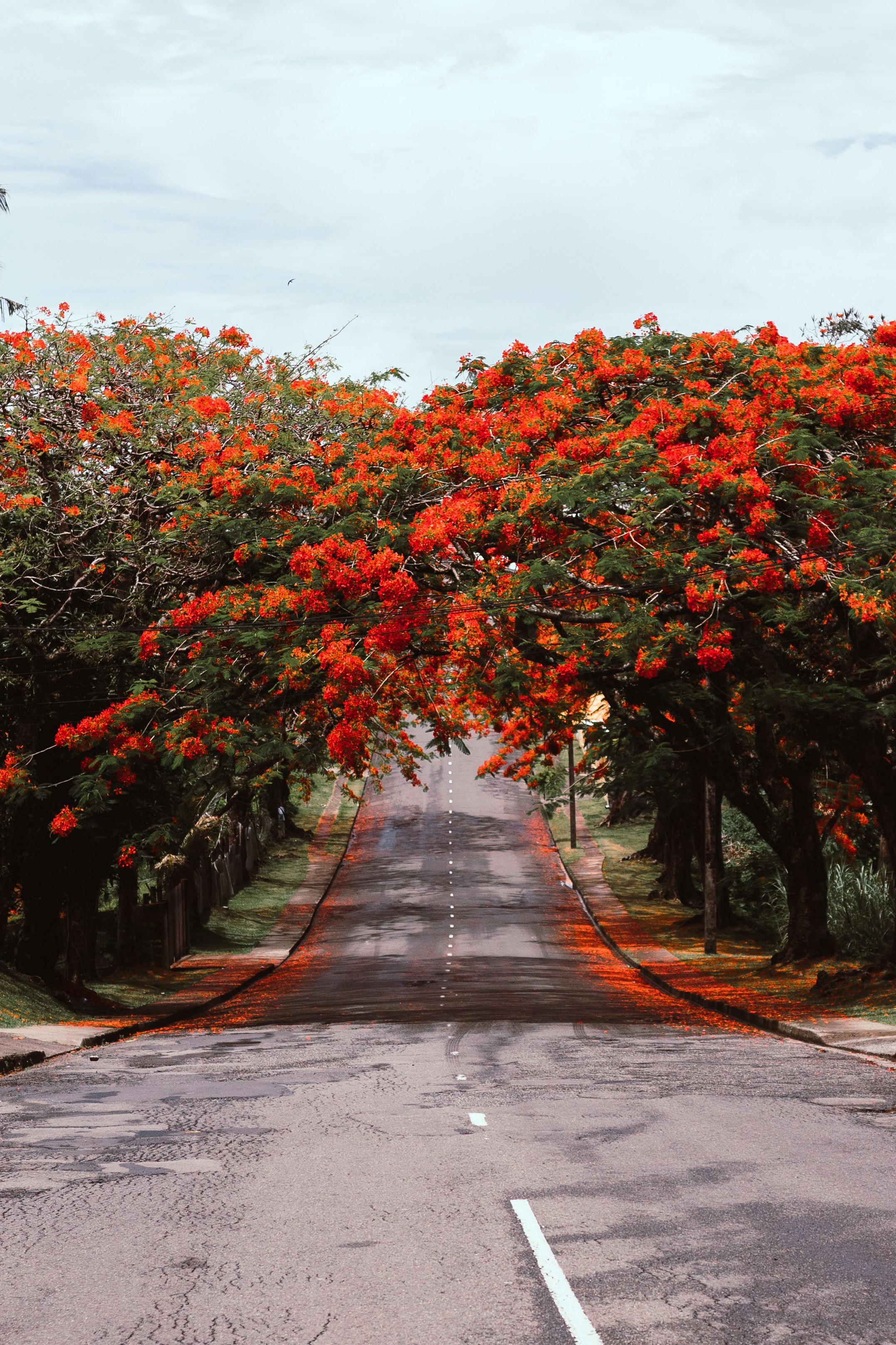
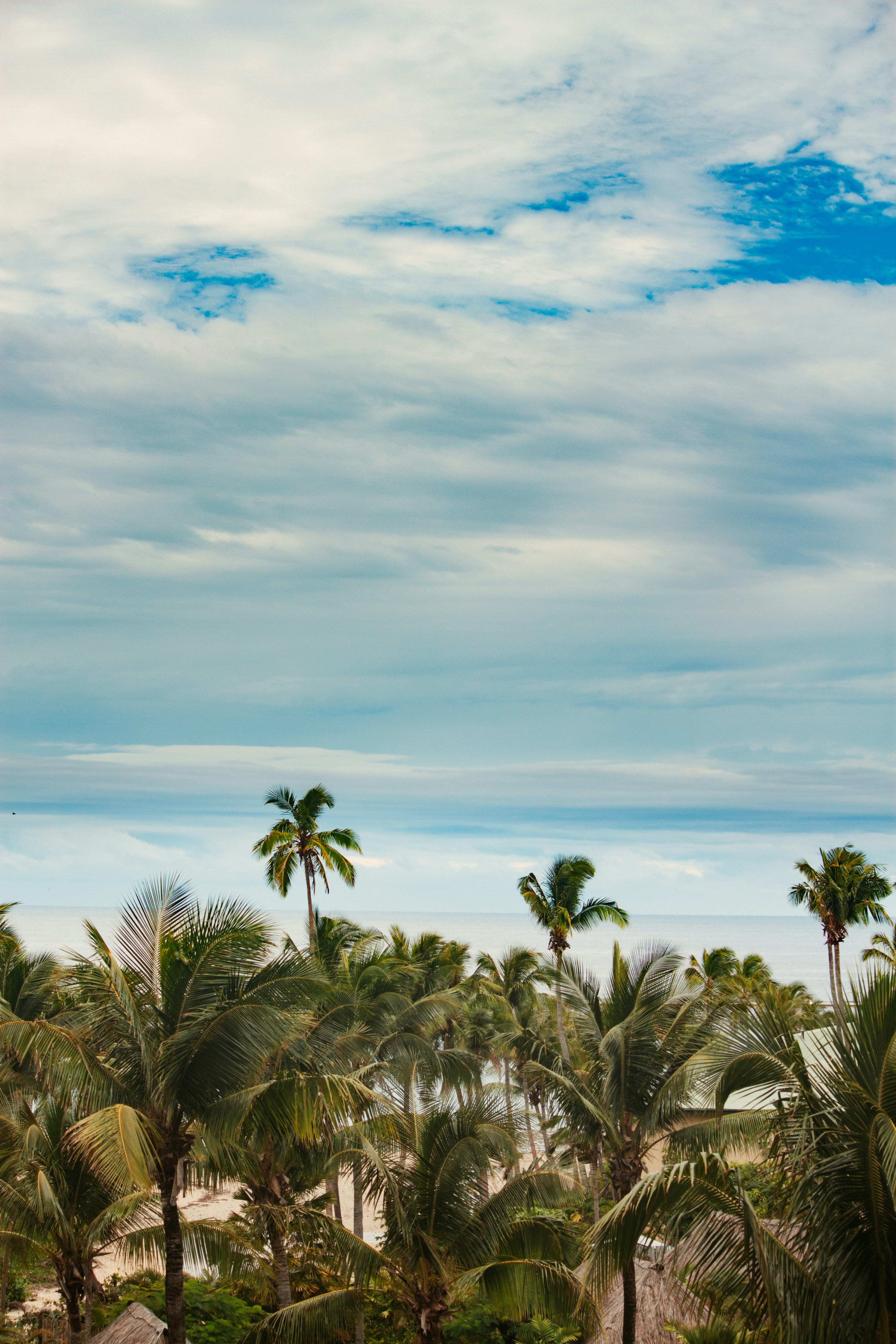
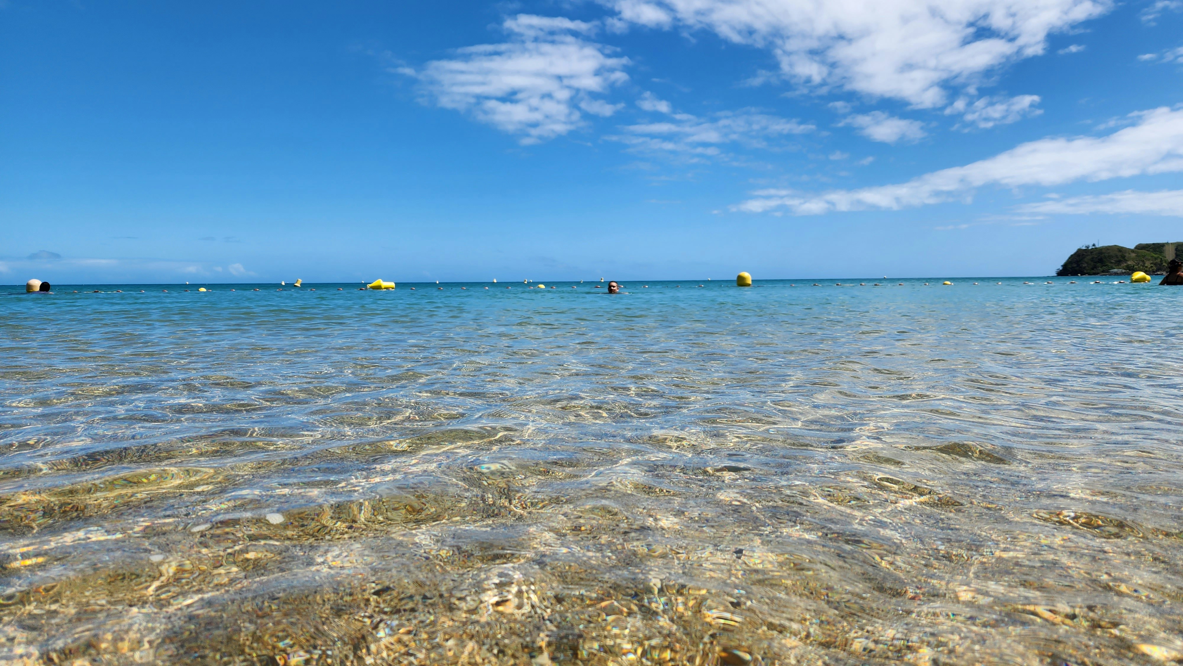
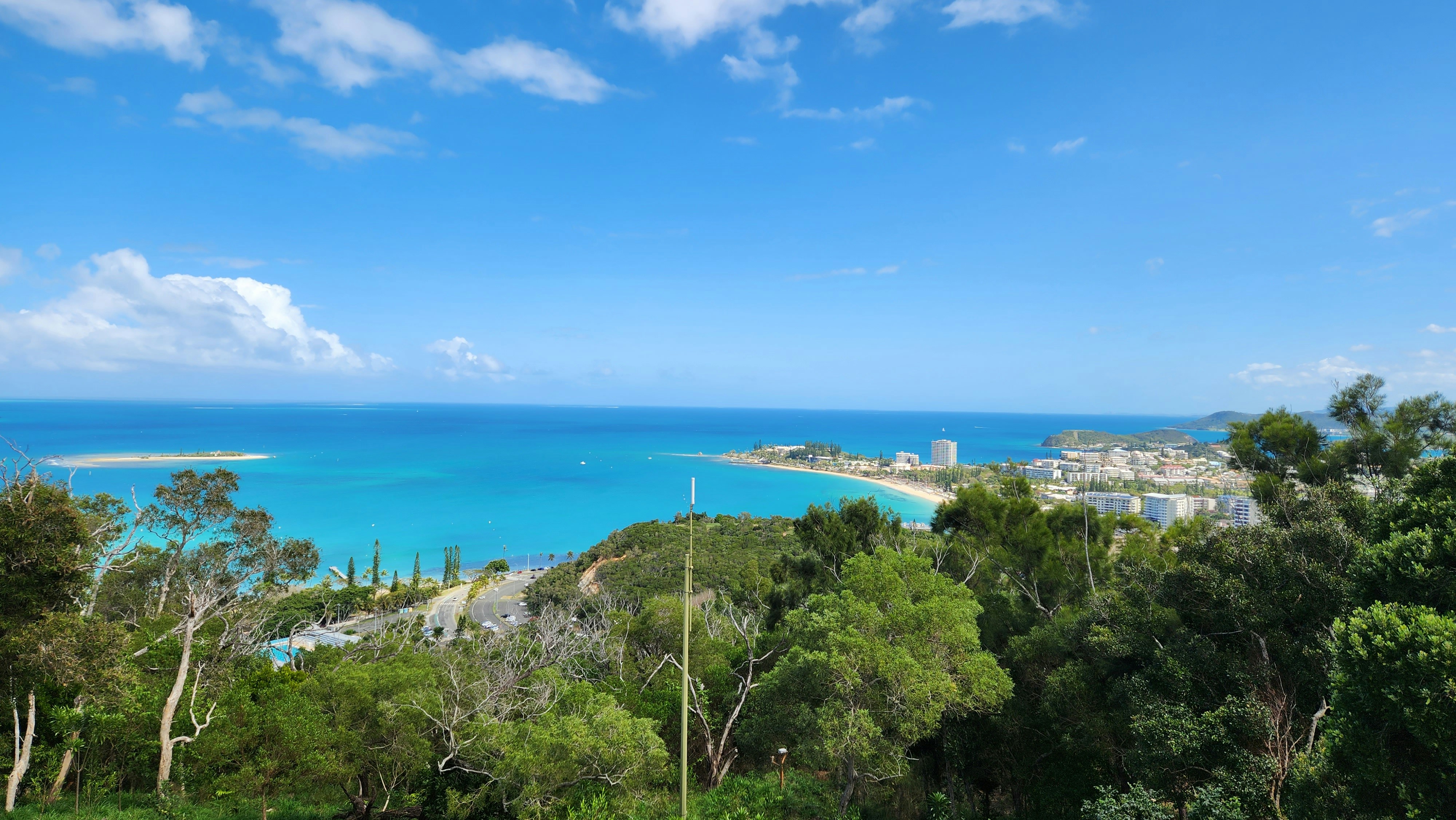
With its elegant urban infrastructure in a stunning natural setting, Noumea is a truly unique island and part of the New Caledonia archipelago. Noumea started as a penal colony, but has since evolved to a lovely metropolis and today has almost two thirds of New Caledonia’s population. While much of the archipelago of New Caledonia has a large percentage of Kanak people – the indigenous inhabitants who live in tribal areas across the country – Noumea is predominantly European with a strong French influence. The city’s center and Place de Cocotiers, the main park, are located close to the harbor and several churches date back to the late 19th century. Other attractions include a world-class aquarium at Anse Vata, several long beaches to the south, and a noteworthy collection of Kanak and South Pacific objects at the Museum of New Caledonia. The architectural gem of the city is the Tjibaou Cultural Center, the structure of which resembles sails, or the roofs of Kanak houses hidden behind mangroves.
About Sydney, New South Wales
Sydney belongs to the exclusive club of cities that generate excitement. At the end of a marathon flight there's renewed vitality in the cabin as the plane circles the city, where thousands of yachts are suspended on the dark water and the sails of the Opera House glisten in the distance. Blessed with dazzling beaches and a sunny climate, Sydney is among the most beautiful cities on the planet.With 4.6 million people, Sydney is the biggest and most cosmopolitan city in Australia. A wave of immigration from the 1950s has seen the Anglo-Irish immigrants who made up the city's original population joined by Italians, Greeks, Turks, Lebanese, Chinese, Vietnamese, Thais, and Indonesians. This intermingling has created a cultural vibrancy and energy—and a culinary repertoire—that was missing only a generation ago.Sydneysiders embrace their harbor with a passion. Indented with numerous bays and beaches, Sydney Harbour is the presiding icon for the city, and urban Australia. Captain Arthur Phillip, commander of the 11-ship First Fleet, wrote in his diary when he first set eyes on the harbor on January 26, 1788: "We had the satisfaction of finding the finest harbor in the world."Although a visit to Sydney is an essential part of an Australian experience, the city is no more representative of Australia than Los Angeles is of the United States. Sydney has joined the ranks of the great cities whose characters are essentially international. What Sydney offers is style, sophistication, and great looks—an exhilarating prelude to the continent at its back door.


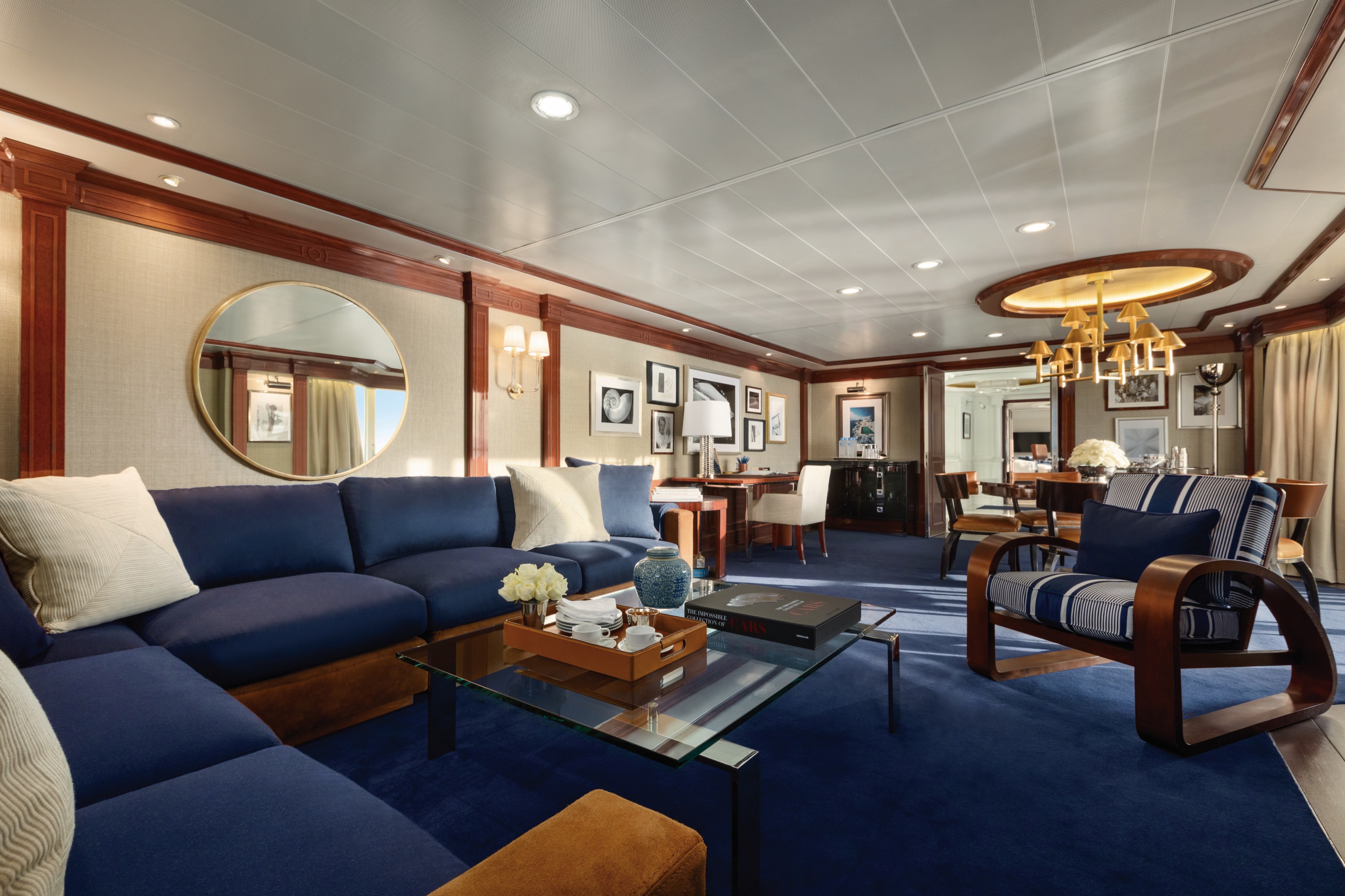
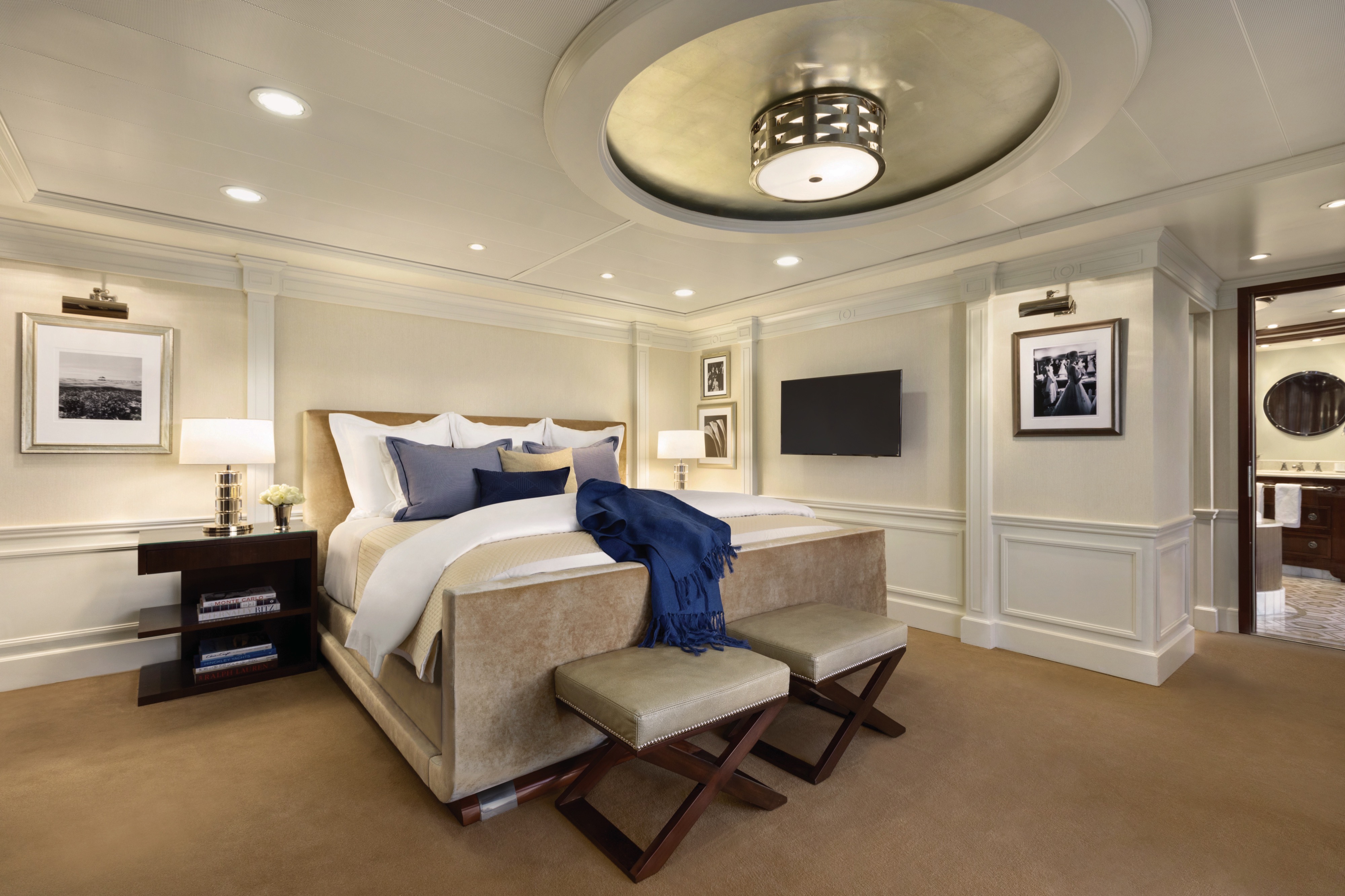
Akin to a dramatic coastal villa, the Owner’s Suites exude a sophisticated and luxurious personality. At more than 2,000 square feet, each features a living room, dining room, master bedroom and two bathrooms. These suites are adorned with designer furnishings and exquisite appointments, creating a blissful enclave at sea. There are separate terraces for the living areas and bedroom and expanses of floor-to-ceiling windows provide captivating vistas and with the stunning backdrop of the sea all around. All of our suites include exclusive 24-hour Butler service and are uncommonly spacious, further adding to the unparalleled suite experience.
Owner's Suite Privileges
In addition to Stateroom Amenities
Complimentary laundry service – up to 3 bags per stateroom+
- Priority 11 am ship embarkation with priority luggage delivery
- Exclusive card-only access to private Executive Lounge staffed by a dedicated Concierge featuring complimentary soft drinks, coffees and snacks throughout the day
- 24-hour Butler service
- Complimentary in-suite bar setup with 6 full-size bottles of premium spirits and wines from our suite beverage menu
- Complimentary welcome bottle of Champagne
- Fresh fruit basket replenished daily
- Priority online specialty restaurant reservations
- Unlimited access to Aquamar Spa Terrace
- Optional private in-suite embarkation day lunch from noon to 2 pm in Owner’s Suites
- Luxury bath amenities
- Choice of daily printed newspaper
- Complimentary Oceania Cruises logo tote bag and personalized stationery
- Cashmere lap blankets
- Choice of pillow from a luxurious selection
- Complimentary shoeshine service
- Complimentary pressing of garments upon embarkation++
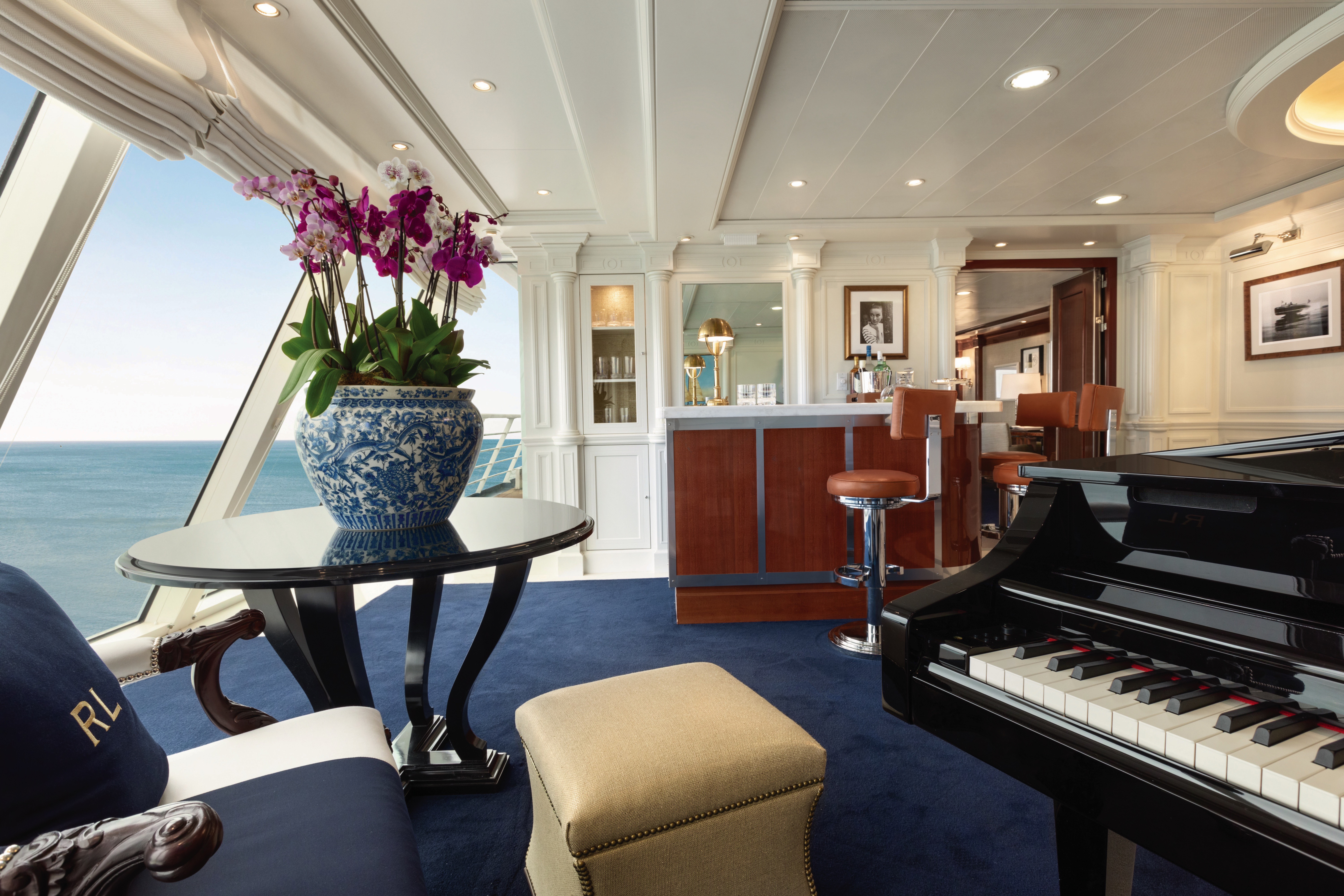
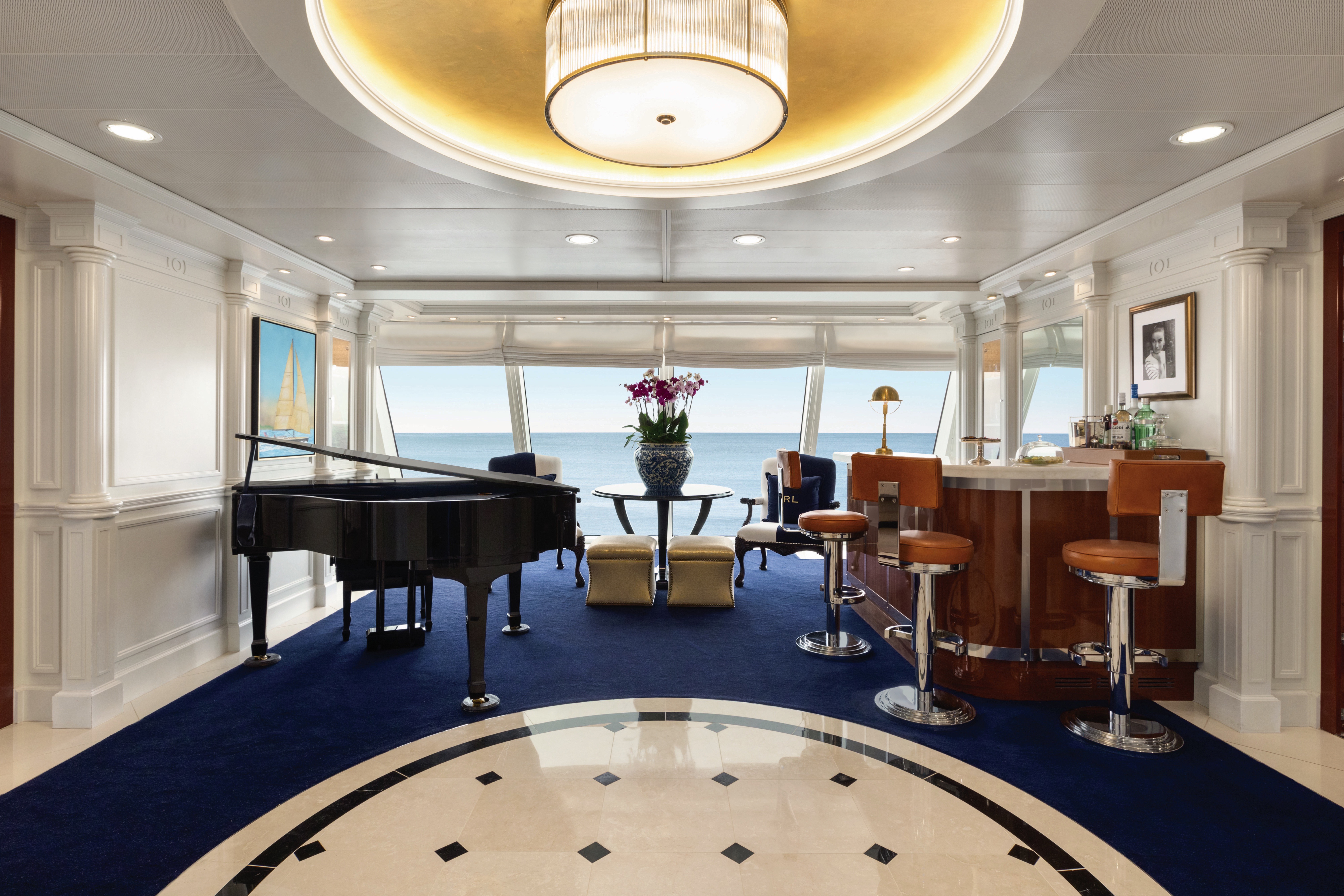
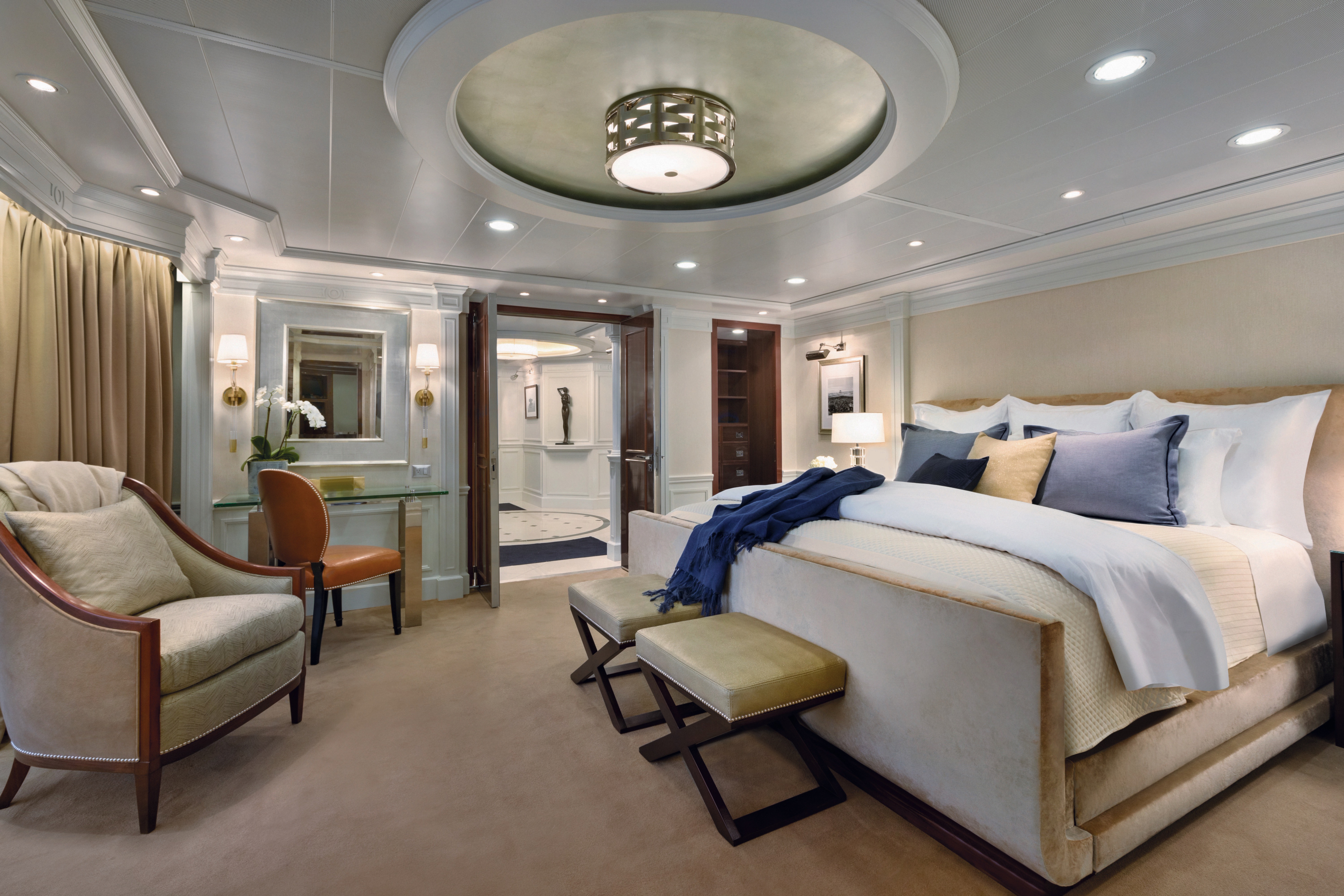
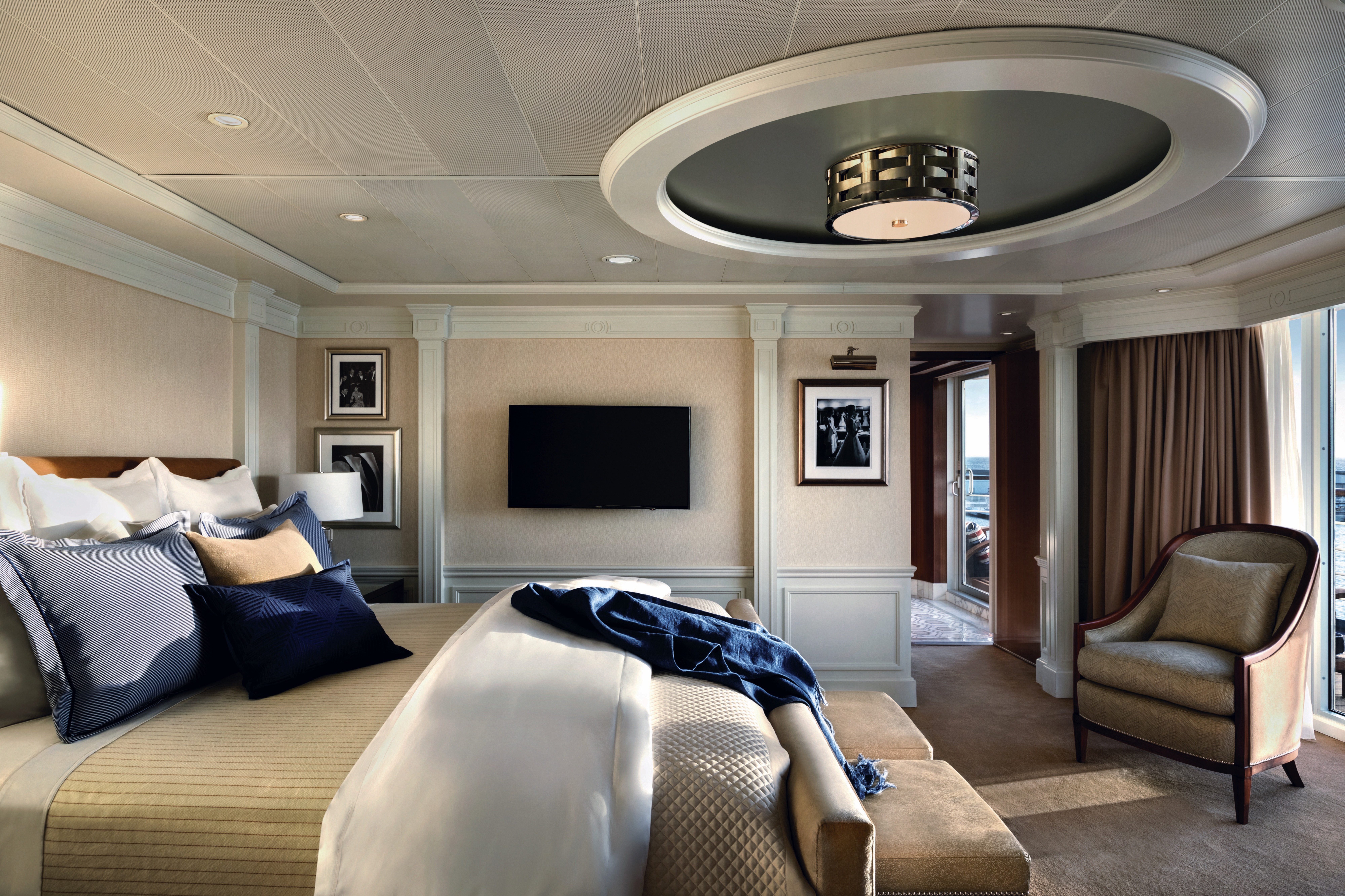
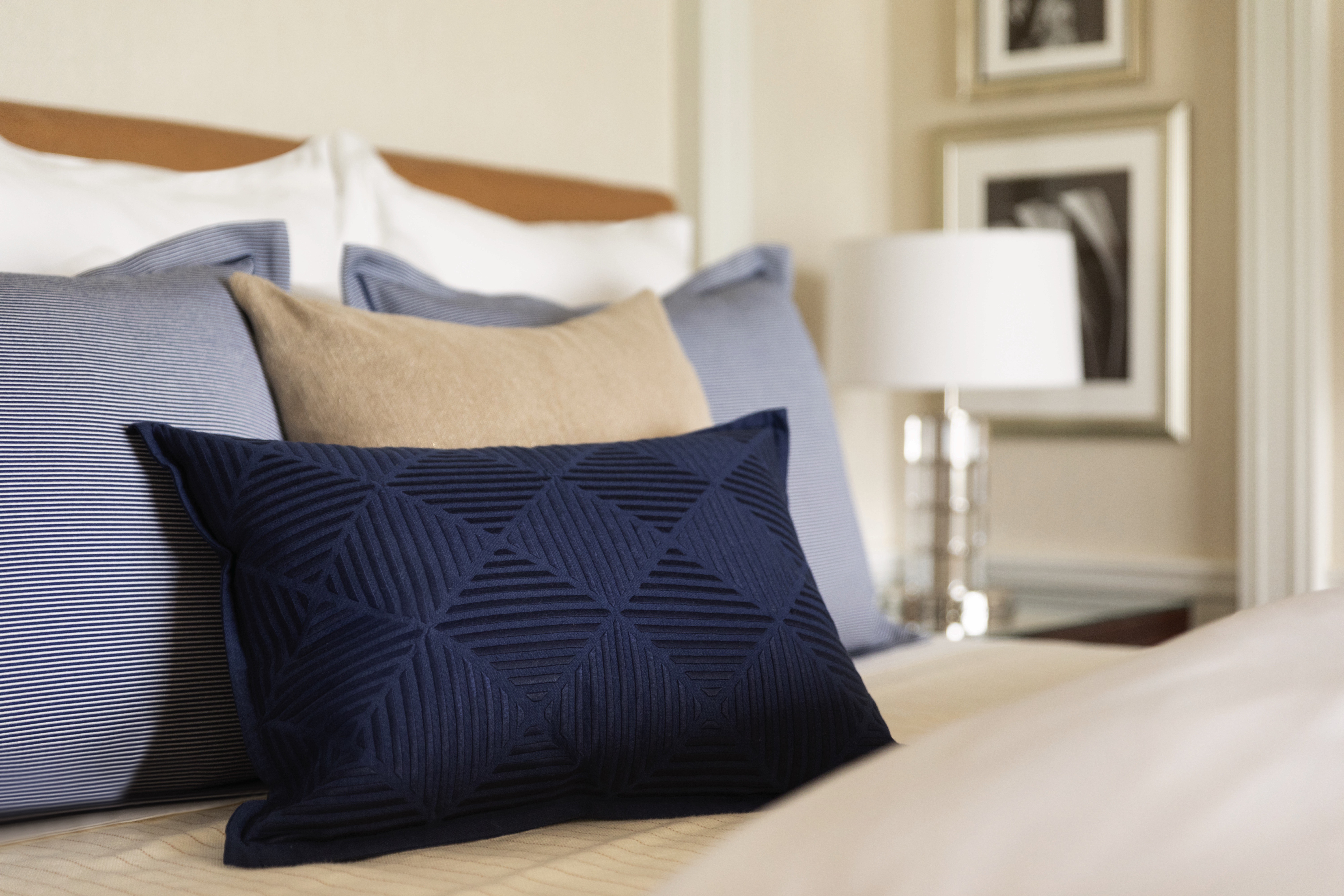

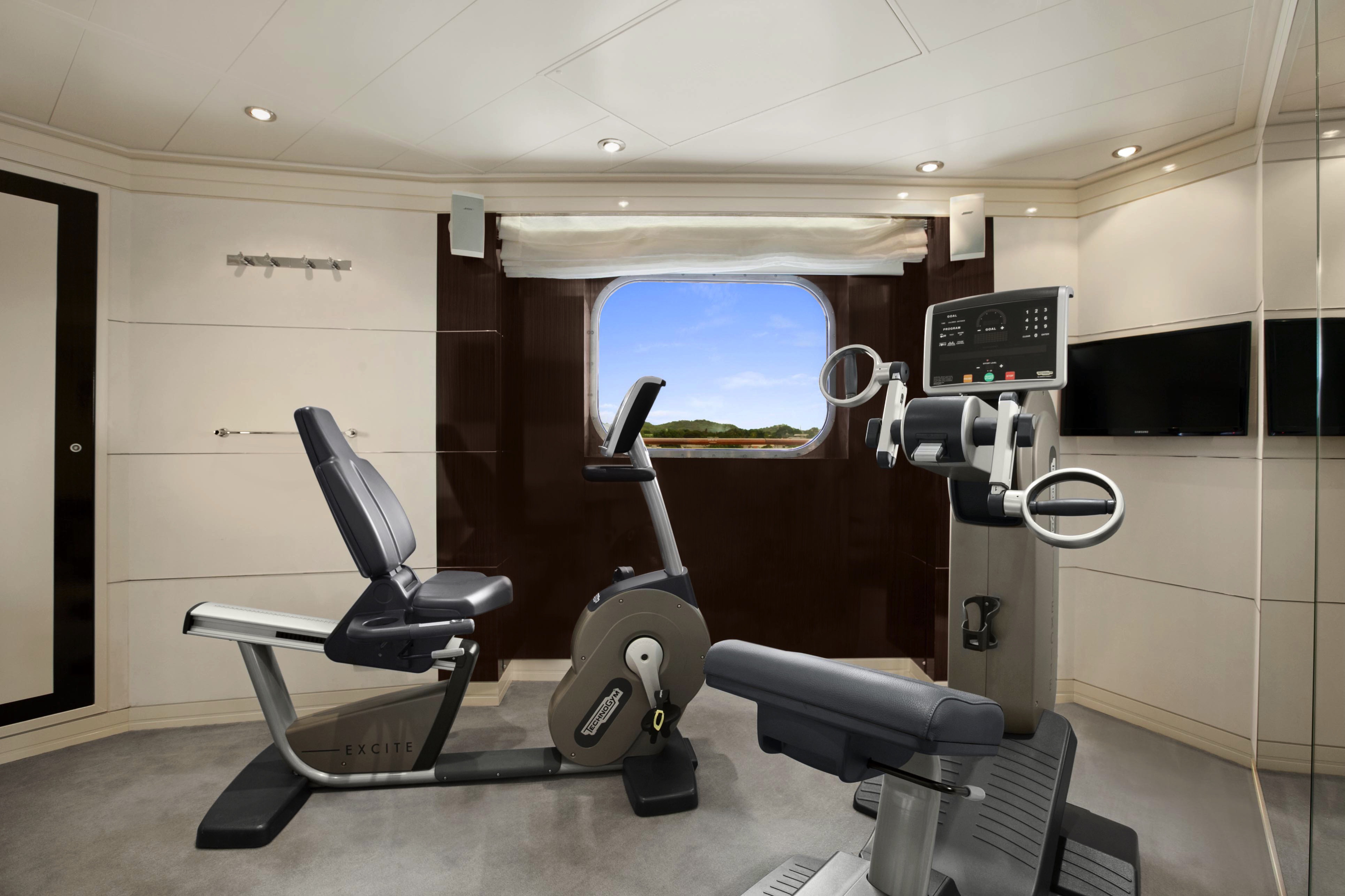
Given their lavish interior design that resembles an elegant and luxurious Park Avenue home along with their premier location overlooking the bow of the ship, the eight Vista Suites are in high demand. These 1,200- to 1,500-square-foot suites include access to the exclusive Executive Lounge as well as every imaginable amenity, such as a large walk-in closet, king-size bed, second bathroom for guests, indoor and outdoor whirlpool spas and your own private fitness room.
Vista Suite Privileges
In addition to Stateroom Amenities
- Complimentary laundry service – up to 3 bags per stateroom+
- Priority 11 am ship embarkation with priority luggage delivery
- Exclusive card-only access to private Executive Lounge staffed by a dedicated Concierge featuring complimentary soft drinks, coffees and snacks throughout the day
- 24-hour Butler service
- Complimentary in-suite bar setup with 6 full-size bottles of premium spirits and wines from our suite beverage menu
- Complimentary welcome bottle of Champagne
- Fresh fruit basket replenished daily
- Priority online specialty restaurant reservations
- Unlimited access to Aquamar Spa Terrace
- iPad® upon request for your enjoyment on board
- Customized entertainment system
- Bulgari gift set and variety of amenities
- Choice of daily printed newspaper
- Complimentary Oceania Cruises logo tote bag and personalized stationery
- Cashmere lap blankets
- Choice of pillow from a luxurious selection
- Complimentary shoeshine service
- Complimentary pressing of garments upon embarkation++
- +Up to 20 garments per laundry bag; additional restrictions apply.
- ++Certain limitations apply.
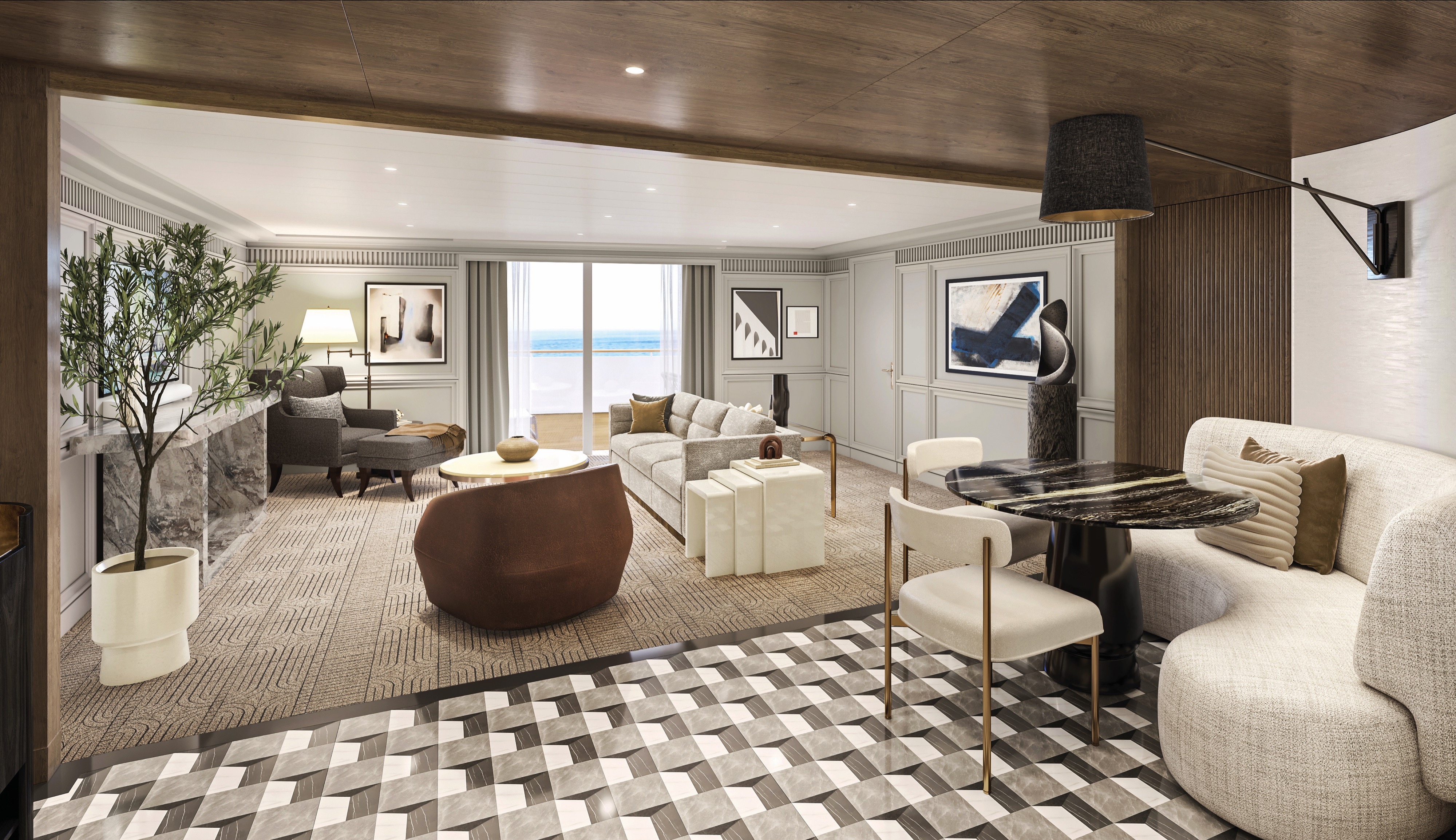
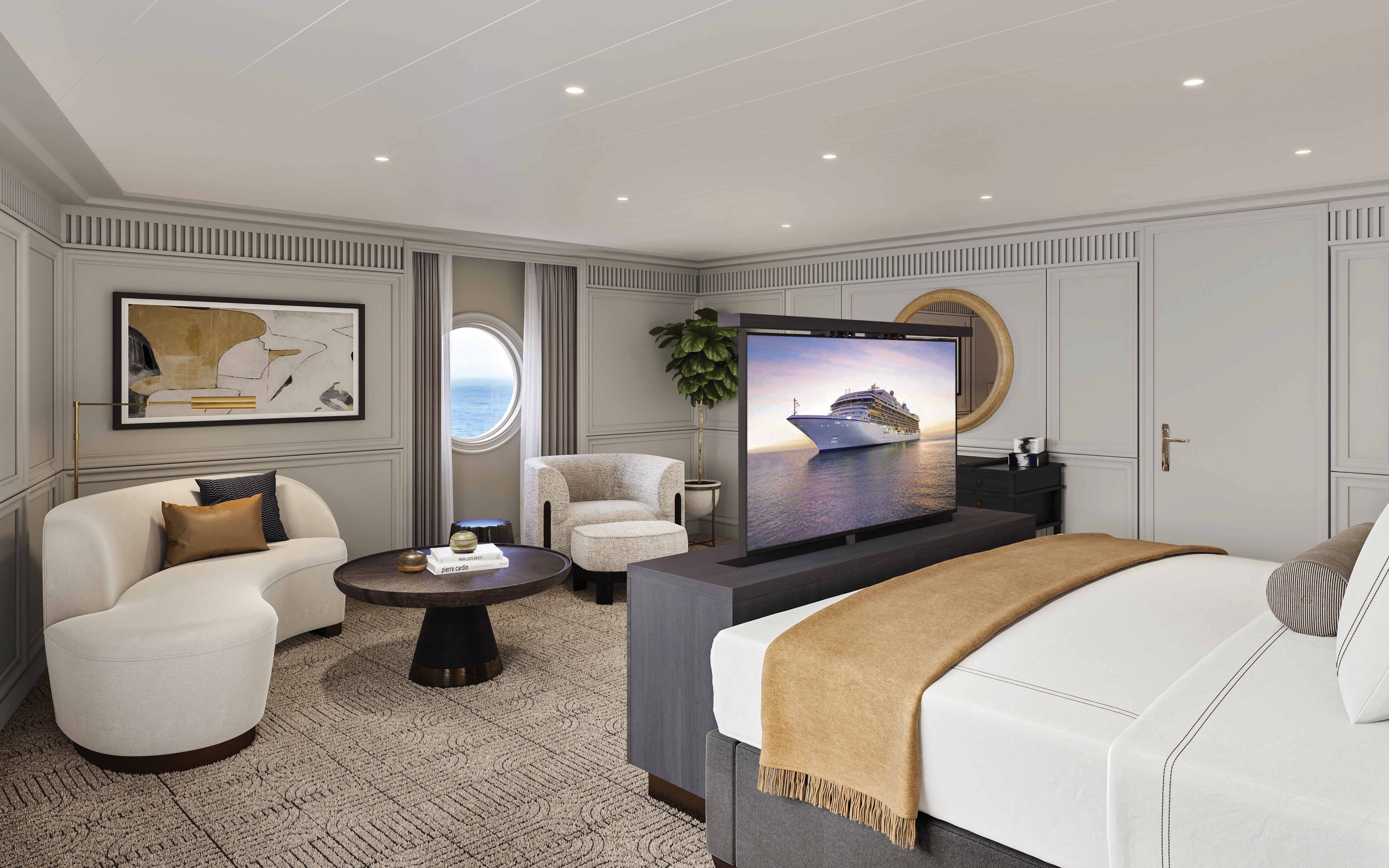
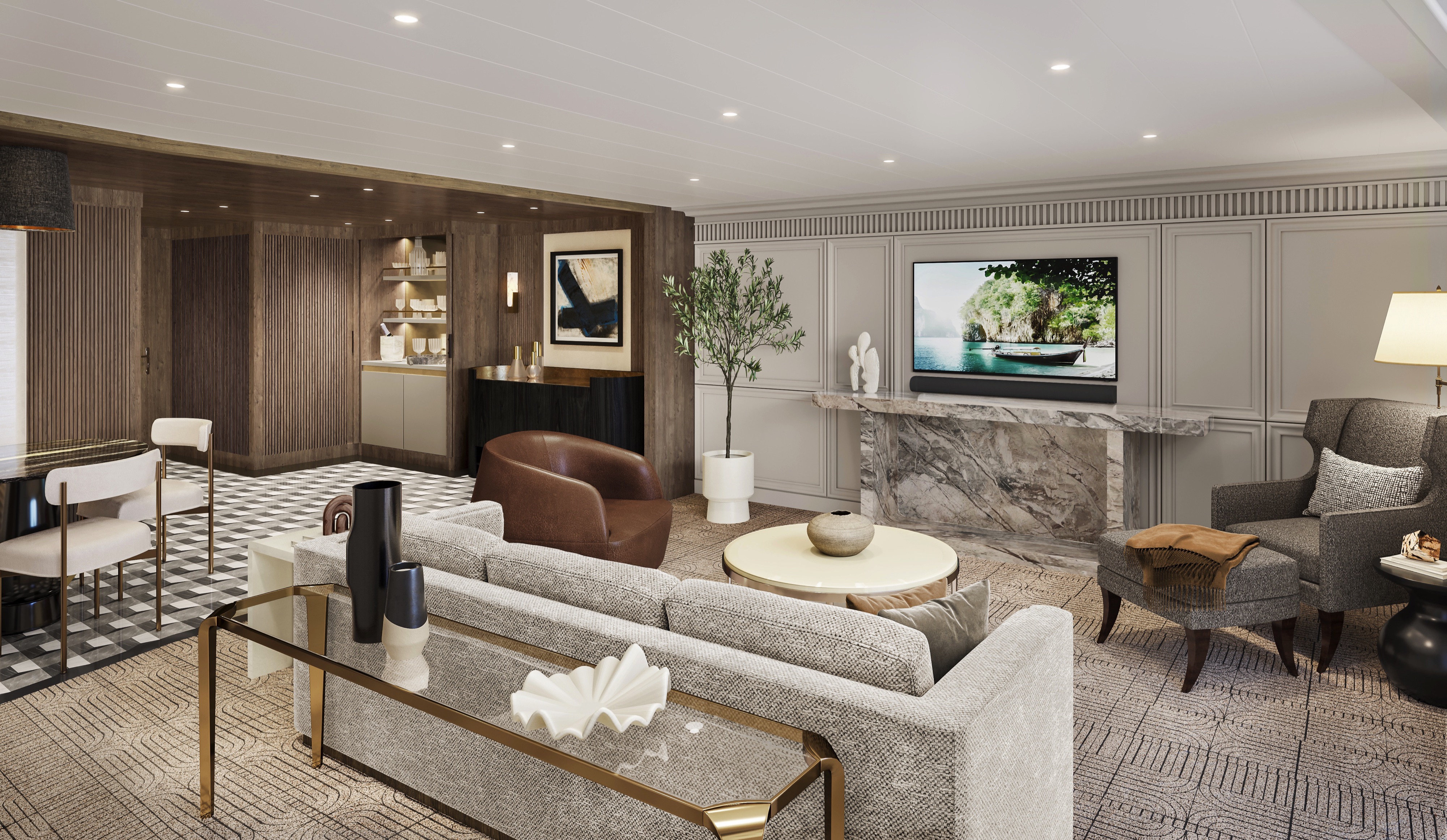
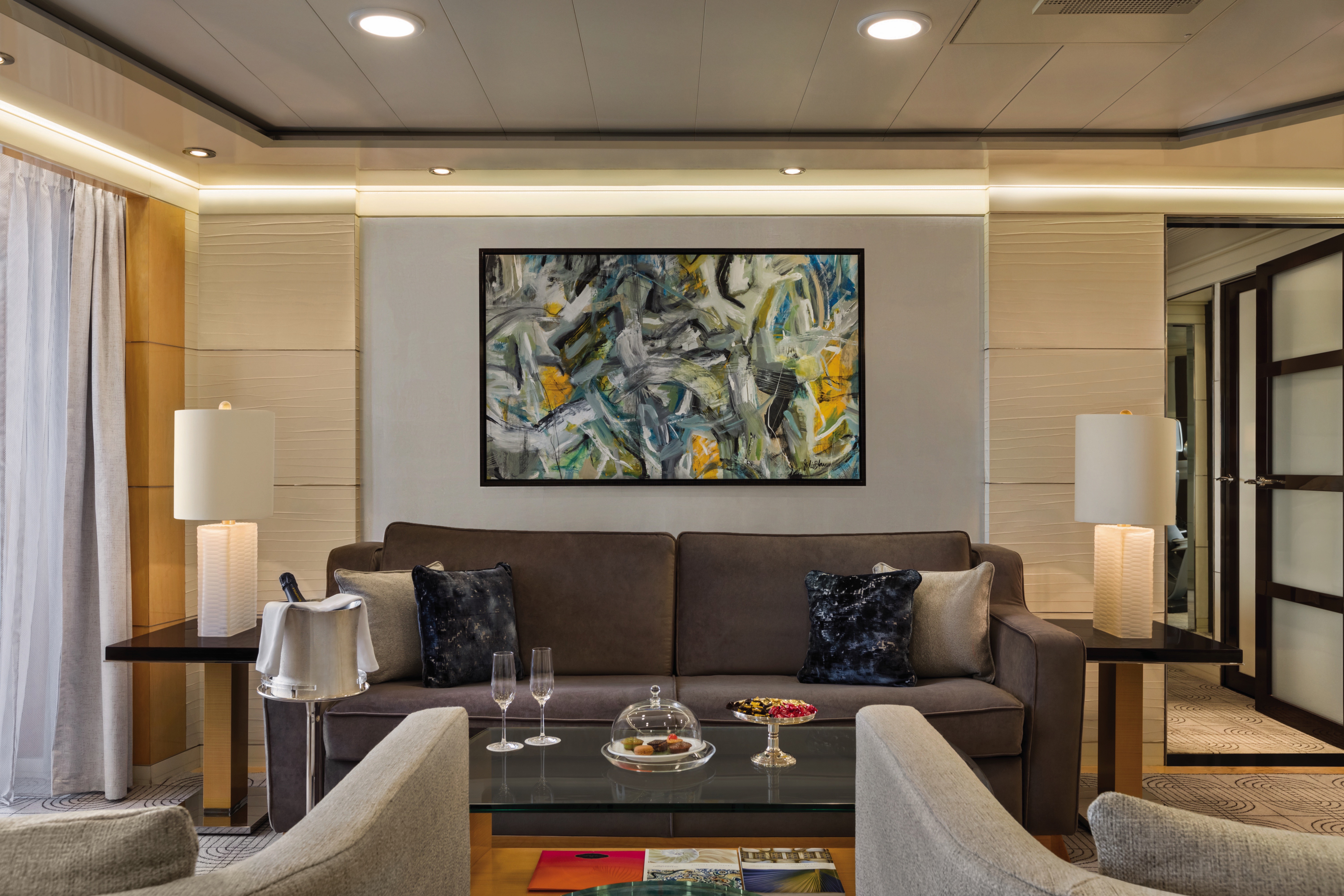
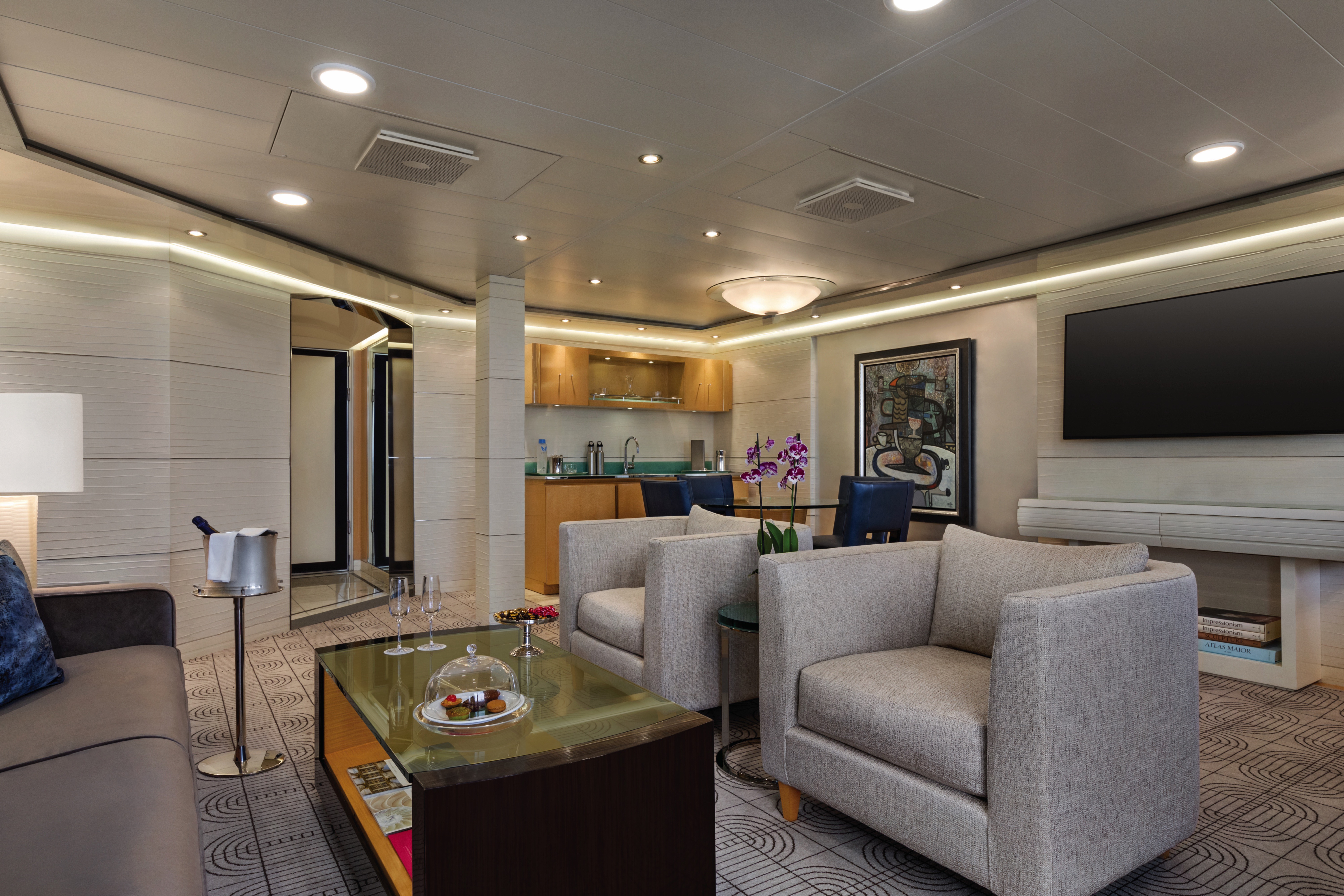
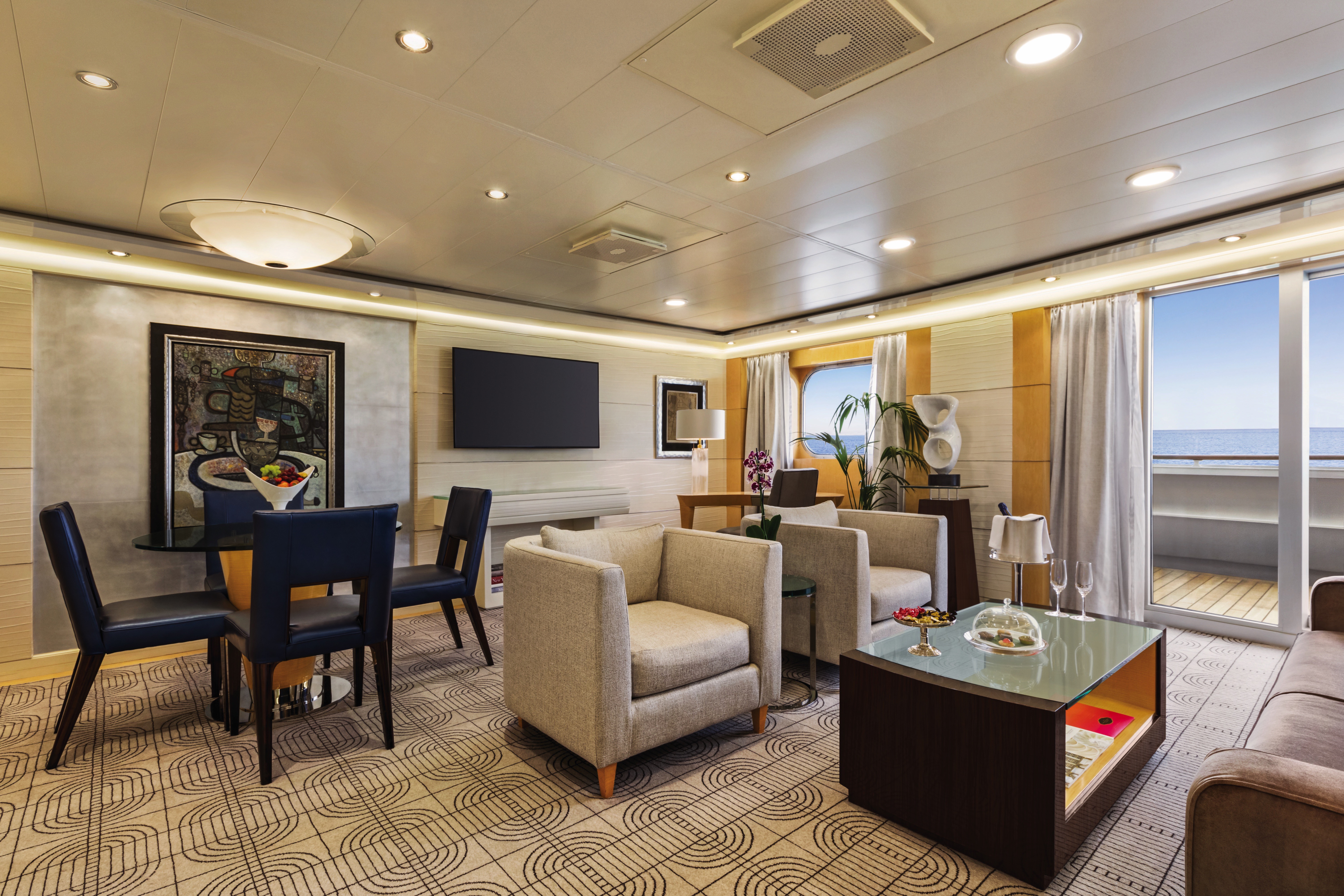
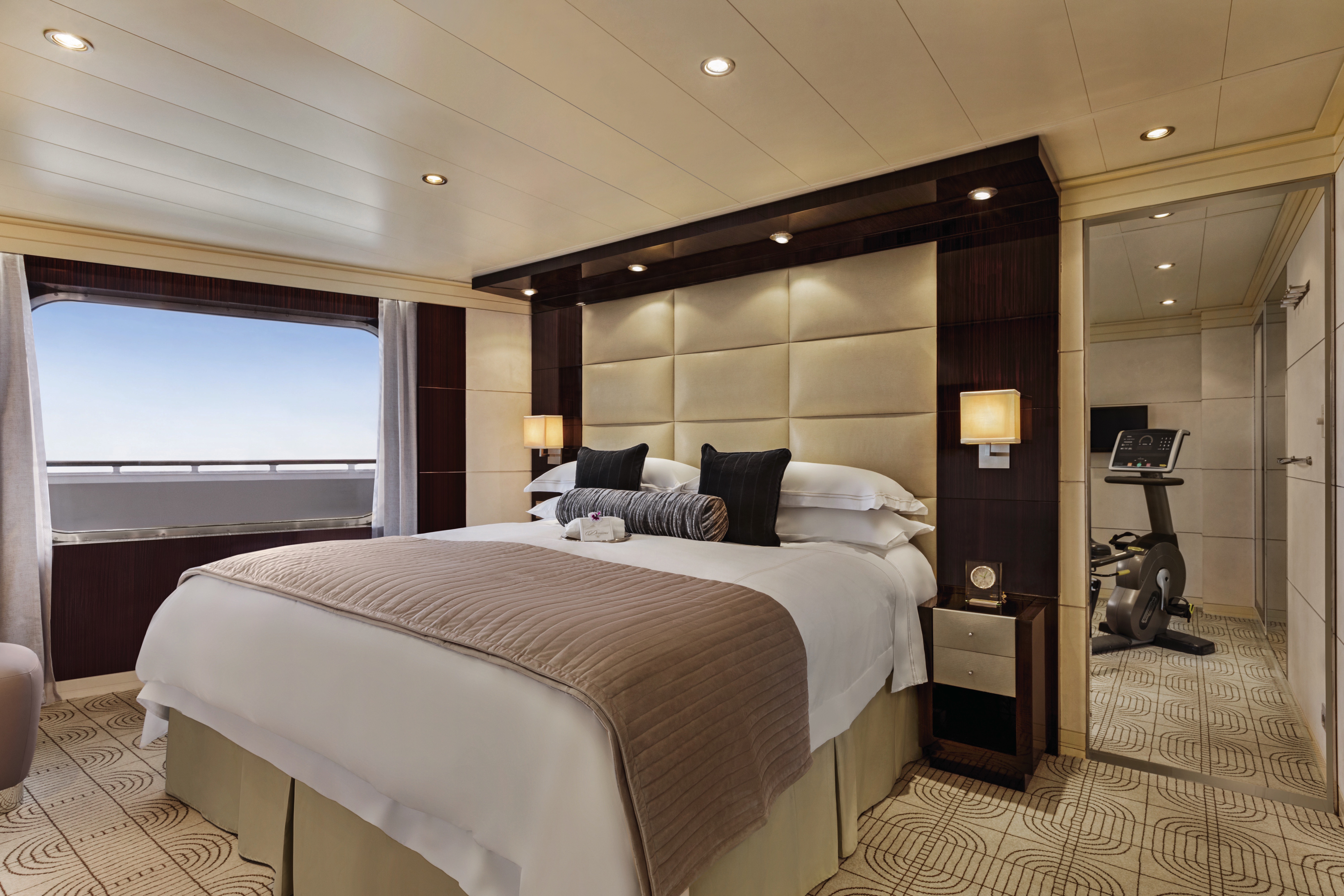
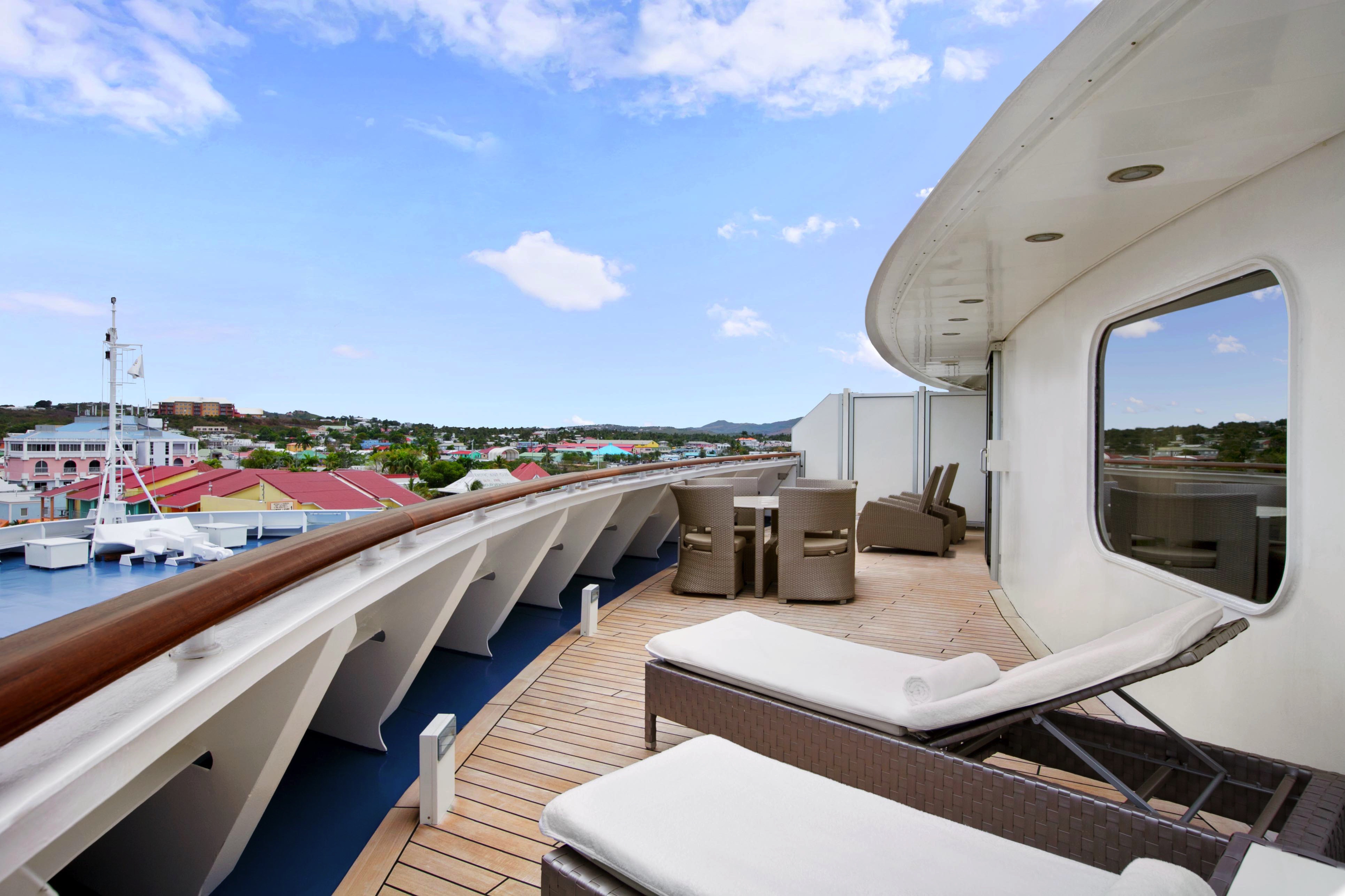
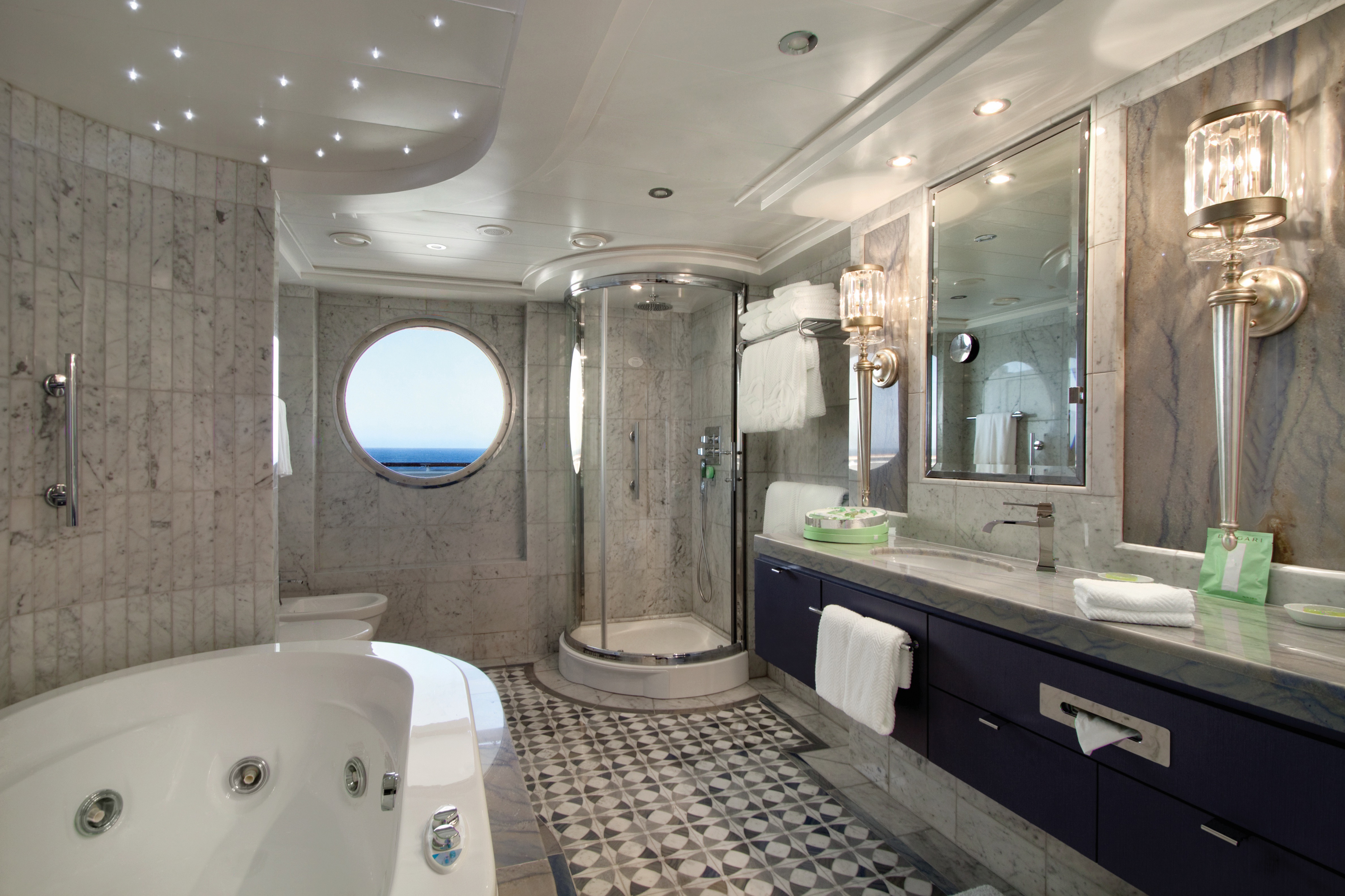
Featuring a luxurious residential design and stylish furnishings, each of the twelve Oceania Suites offers more than 1,000 square feet of luxury. These stylish suites offer a living room, dining room, fully equipped media room, large walk-in closet, king-size bed, whirlpool spa, expansive private veranda and a second bathroom for guests. Also included is access to the private Executive Lounge with magazines, daily newspapers, beverages and snacks.
Oceania Suite Privileges
In addition to Suite & Stateroom Amenities
Complimentary laundry service – up to 3 bags per stateroom+
- Priority 11 am ship embarkation with priority luggage delivery
- Exclusive card-only access to private Executive Lounge staffed by a dedicated Concierge featuring complimentary soft drinks, coffees and snacks throughout the day
- 24-hour Butler service
- Complimentary in-suite bar setup with 6 full-size bottles of premium spirits and wines from our suite beverage menu
- Complimentary welcome bottle of Champagne
- Fresh fruit basket replenished daily
- Priority online specialty restaurant reservations
- Unlimited access to Aquamar Spa Terrace
- Customized entertainment system
- Luxury bath amenities
- Choice of daily printed newspaper
- Complimentary Oceania Cruises logo tote bag and personalized stationery
- Cashmere lap blankets
- Choice of pillow from a luxurious selection
- Complimentary shoeshine service
- Complimentary pressing of garments upon embarkation++
+Up to 20 garments per laundry bag. 3 day turnaround time and laundry will not be accepted 3 days prior to disembarkation.
++Certain limitations apply
Smoking in suites, staterooms and on verandas is strictly prohibited.
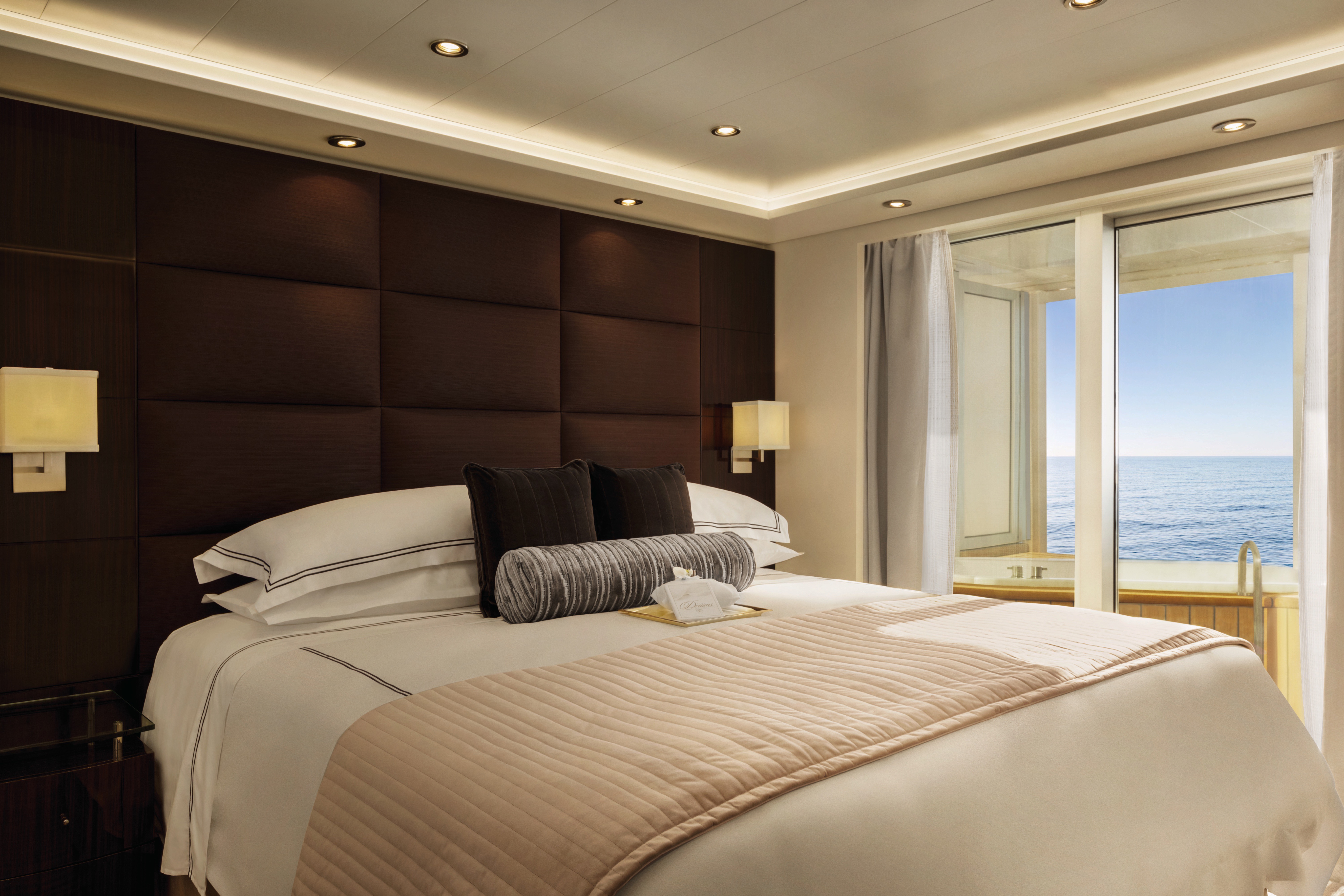
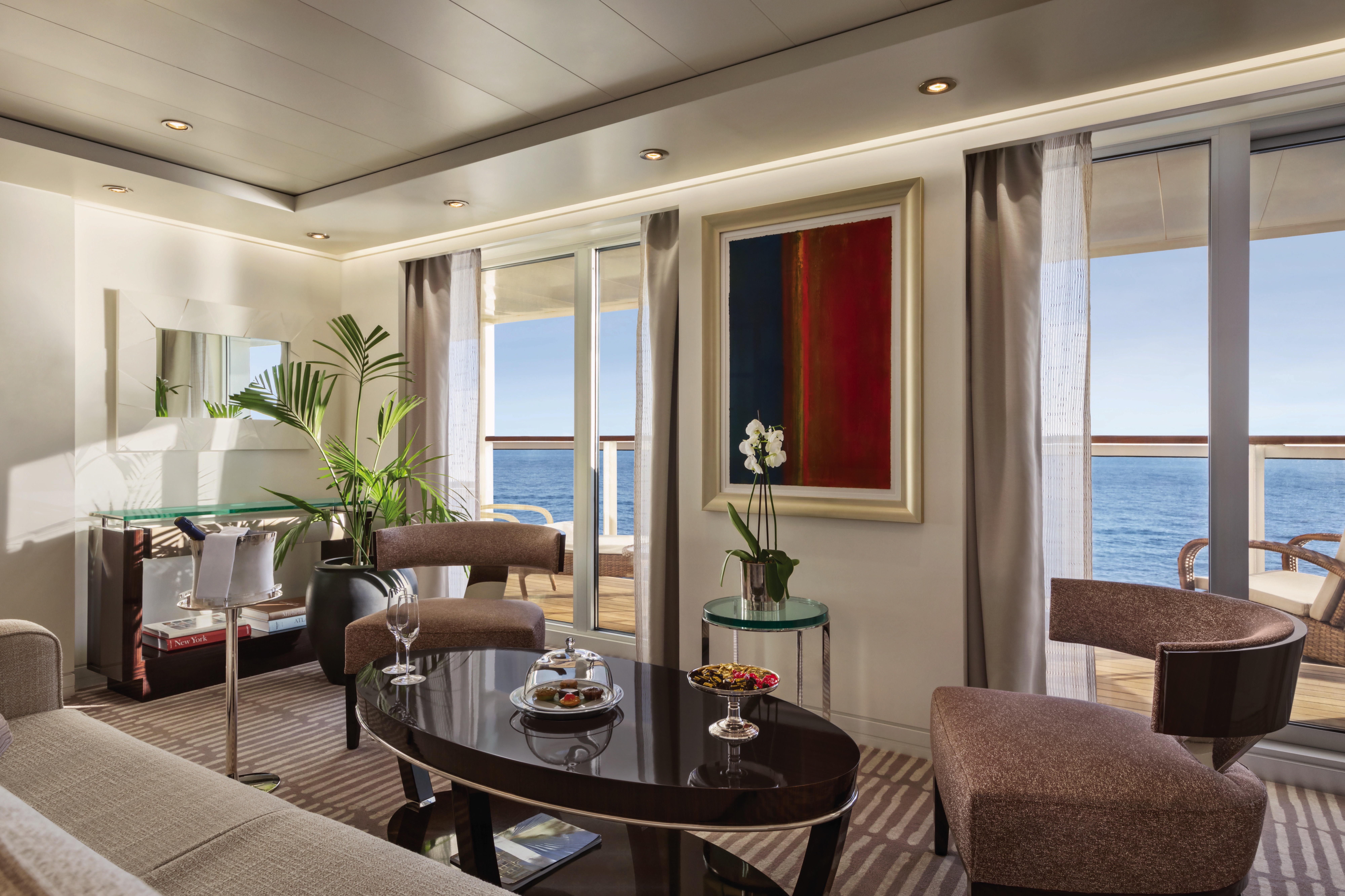
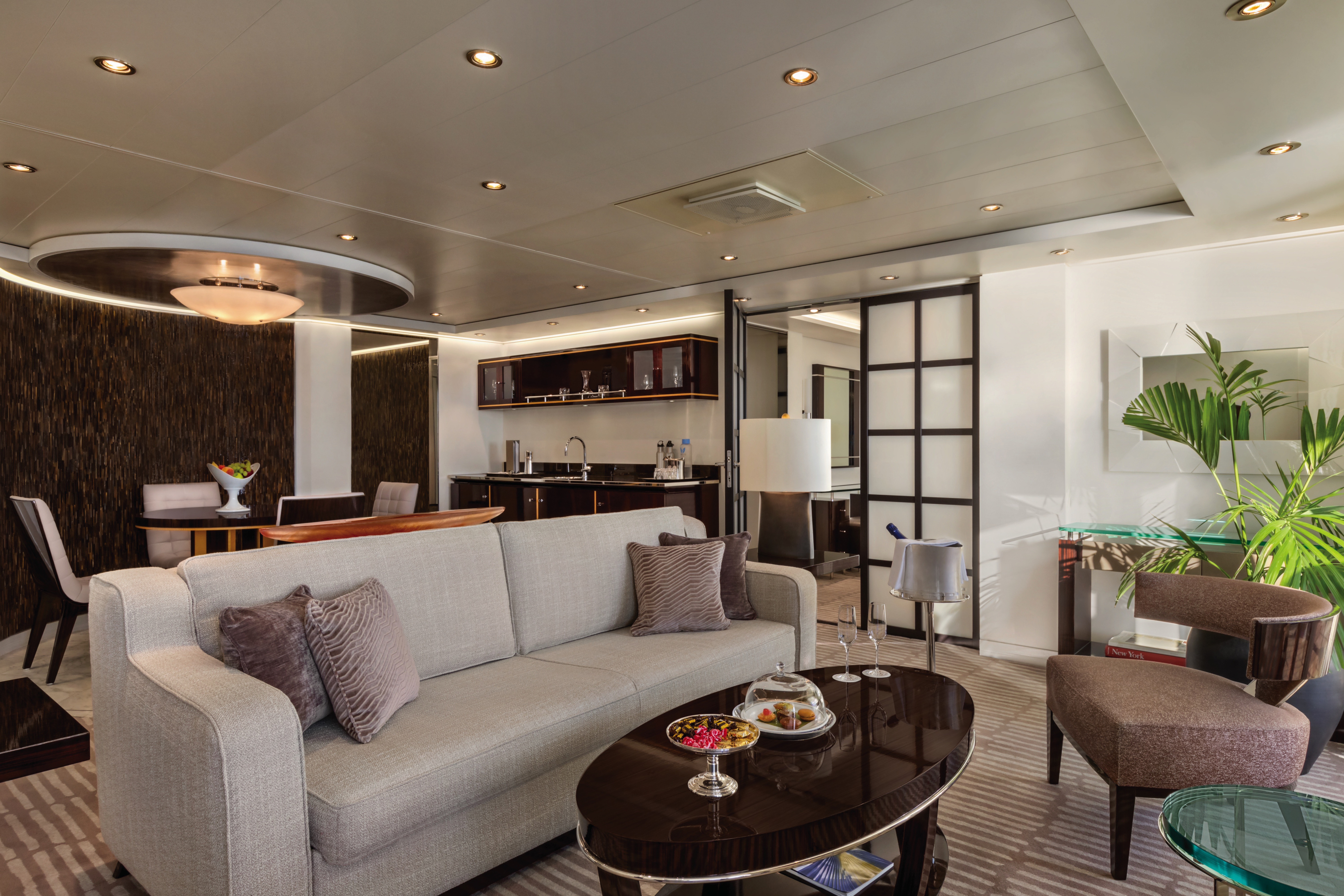
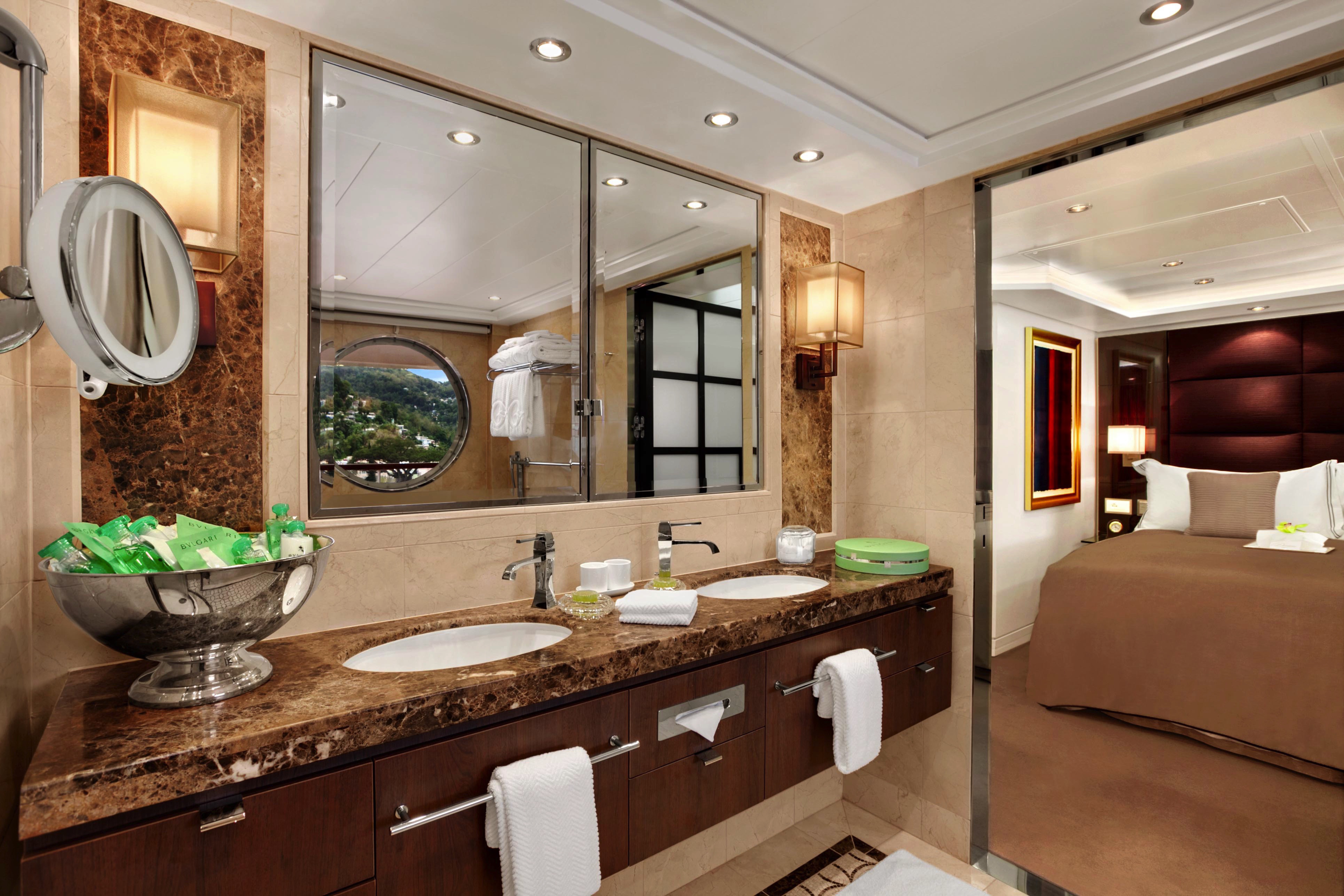
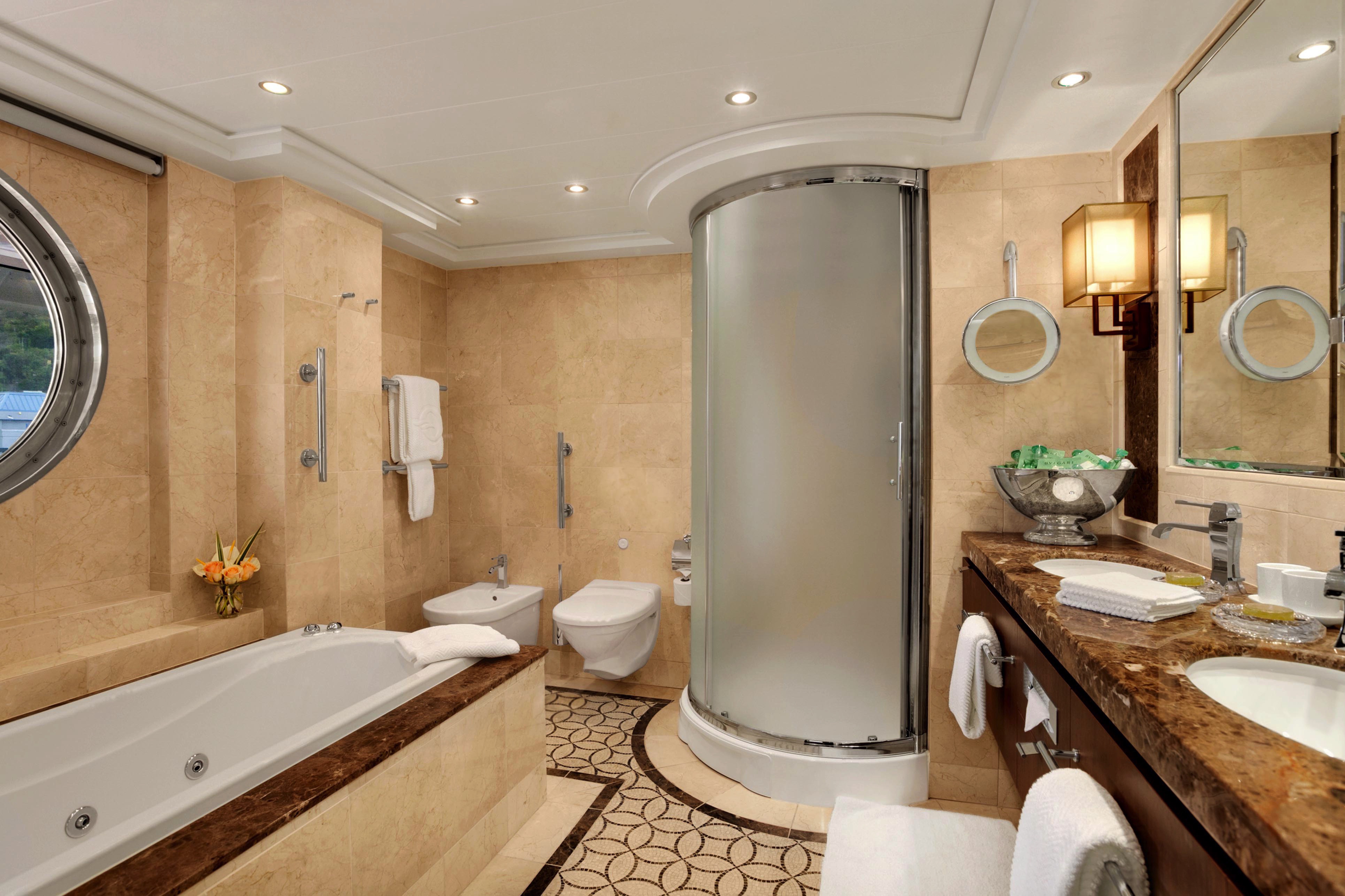
The Penthouse Suites are a marvel of harmonious decor and lavish finishes, encompassing an expansive 440 square feet. Enhanced features include custom lighting, a dining table, separate seating area, walk-in closet, private teak veranda and a marble-clad bathroom with newly added storage space and an expanded shower, all ingeniously laid out to amplify contentment. Naturally, enjoy the ministrations of a dedicated Concierge and exclusive access to the amenities of the elite Executive Lounge.
Penthouse Suite Privileges
In addition to Suite & Stateroom Amenities
Complimentary laundry service – up to 3 bags per stateroom+
- Exclusive card-only access to private Executive Lounge staffed by a dedicated Concierge featuring complimentary soft drinks, coffees and snacks throughout the day
- 24-hour Butler service
- Complimentary welcome bottle of Champagne
- Priority online specialty restaurant reservations
- Unlimited access to Aquamar Spa Terrace
- Cashmere lap blankets
- Complimentary shoeshine service
- Complimentary pressing of garments upon embarkation++
+Up to 20 garments per laundry bag; additional restrictions apply.
++Certain limitations apply.
Smoking in suites, staterooms and on verandas is strictly prohibited.
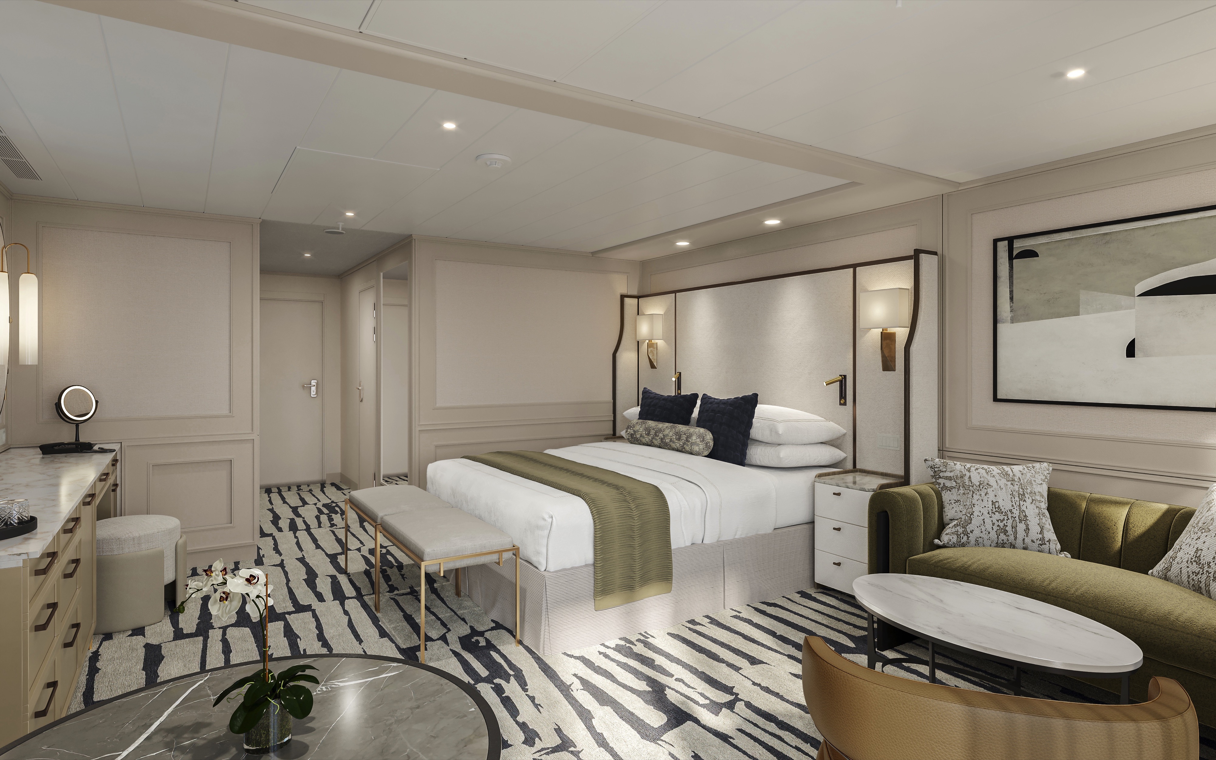
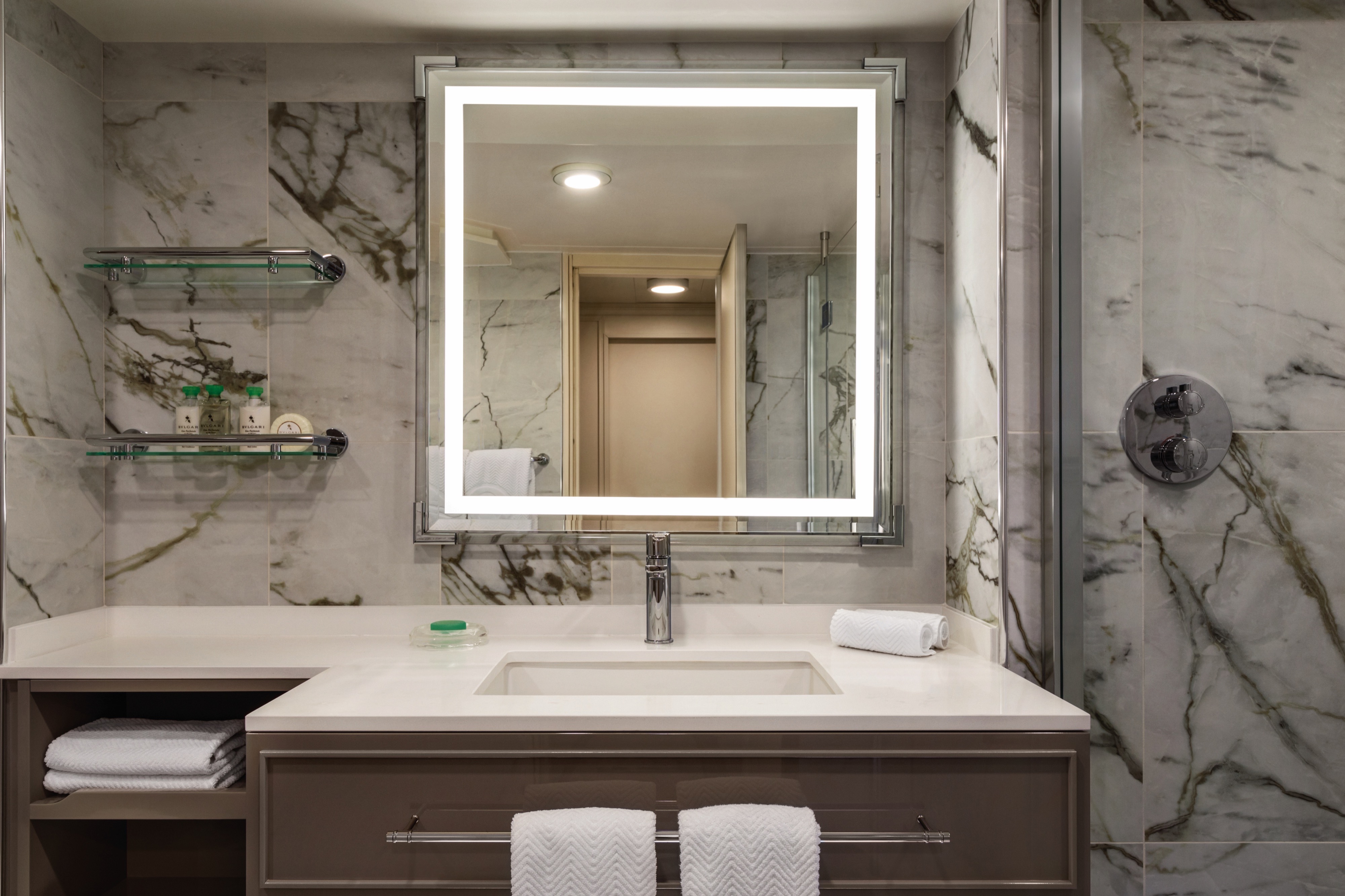
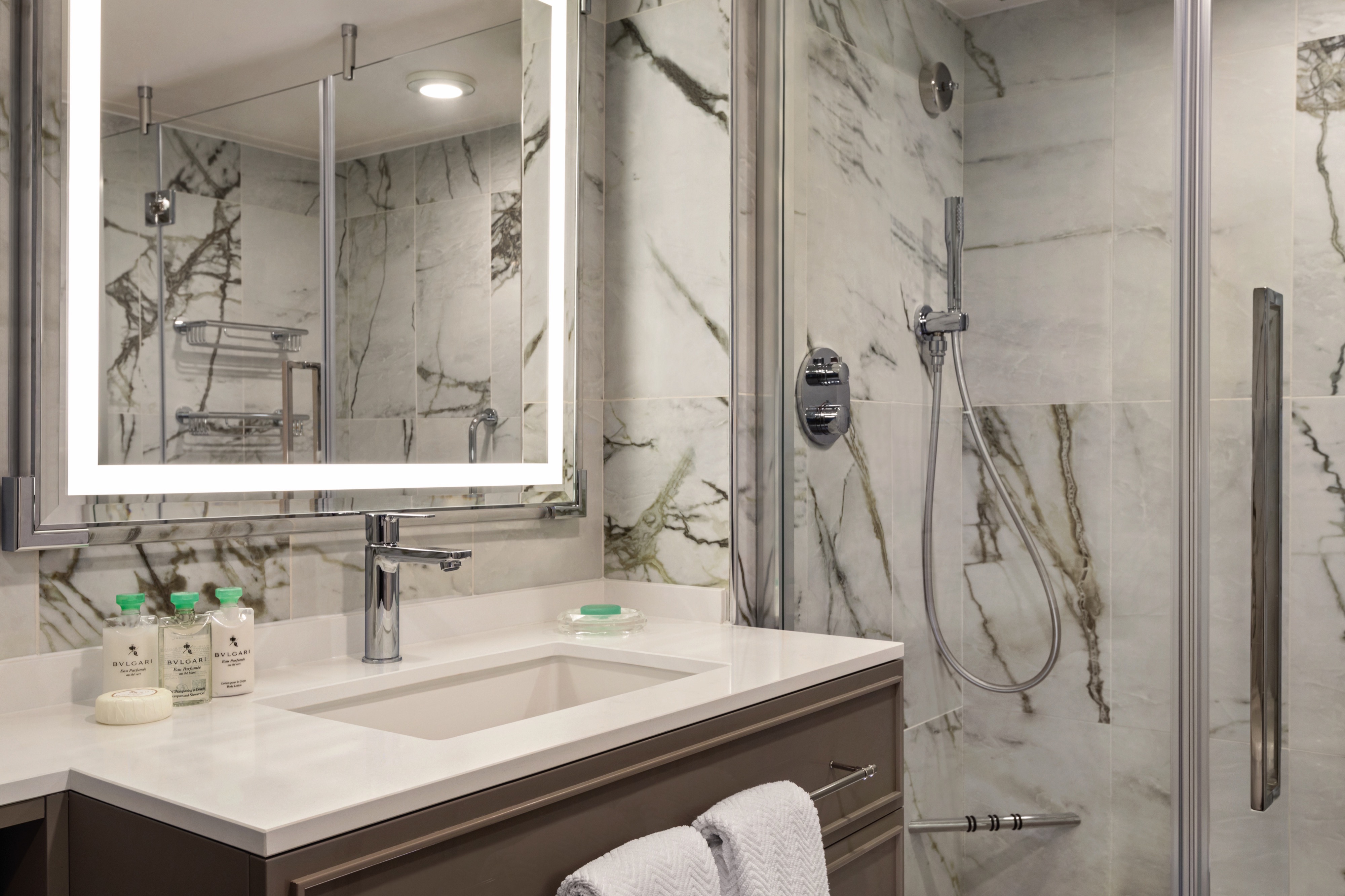
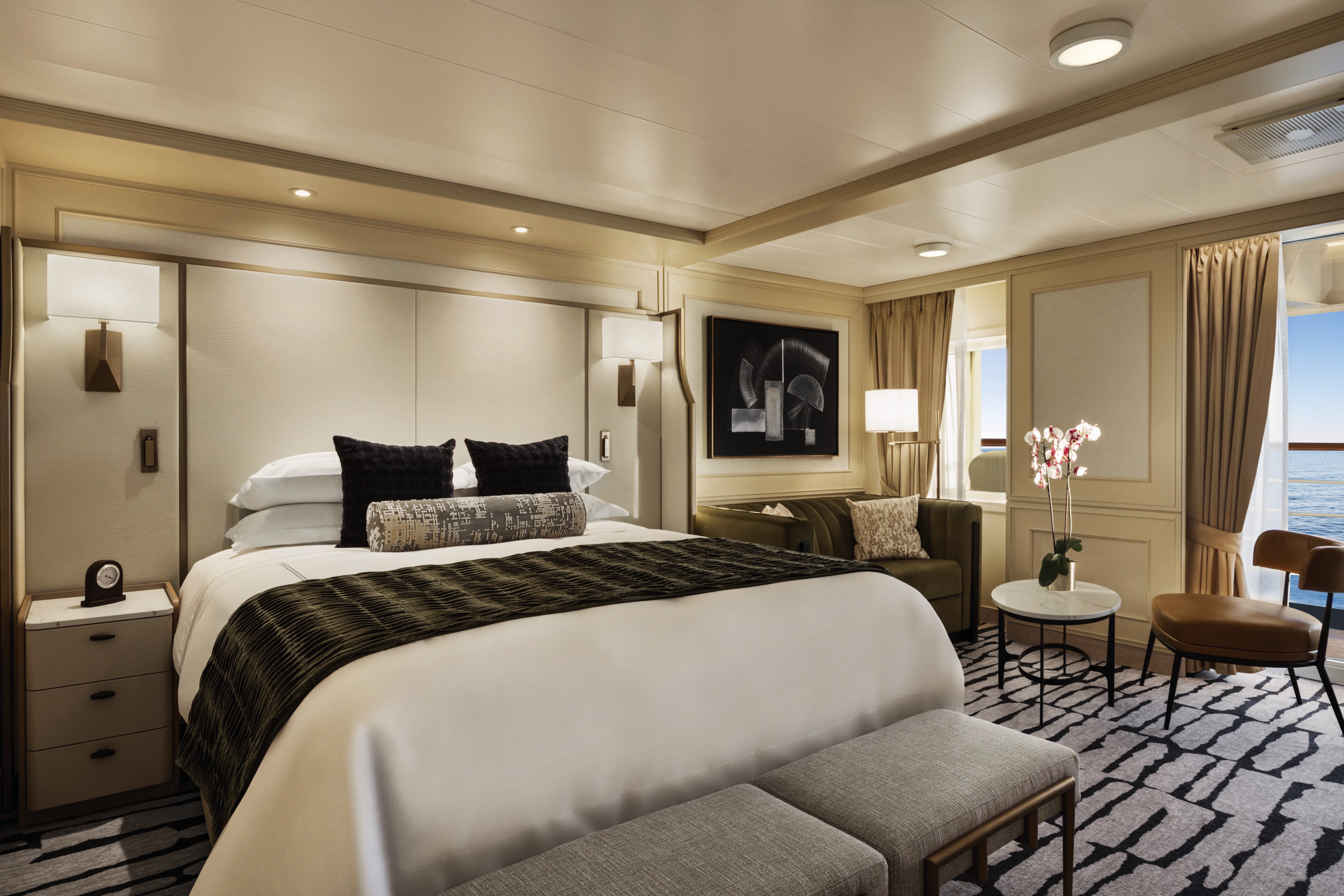
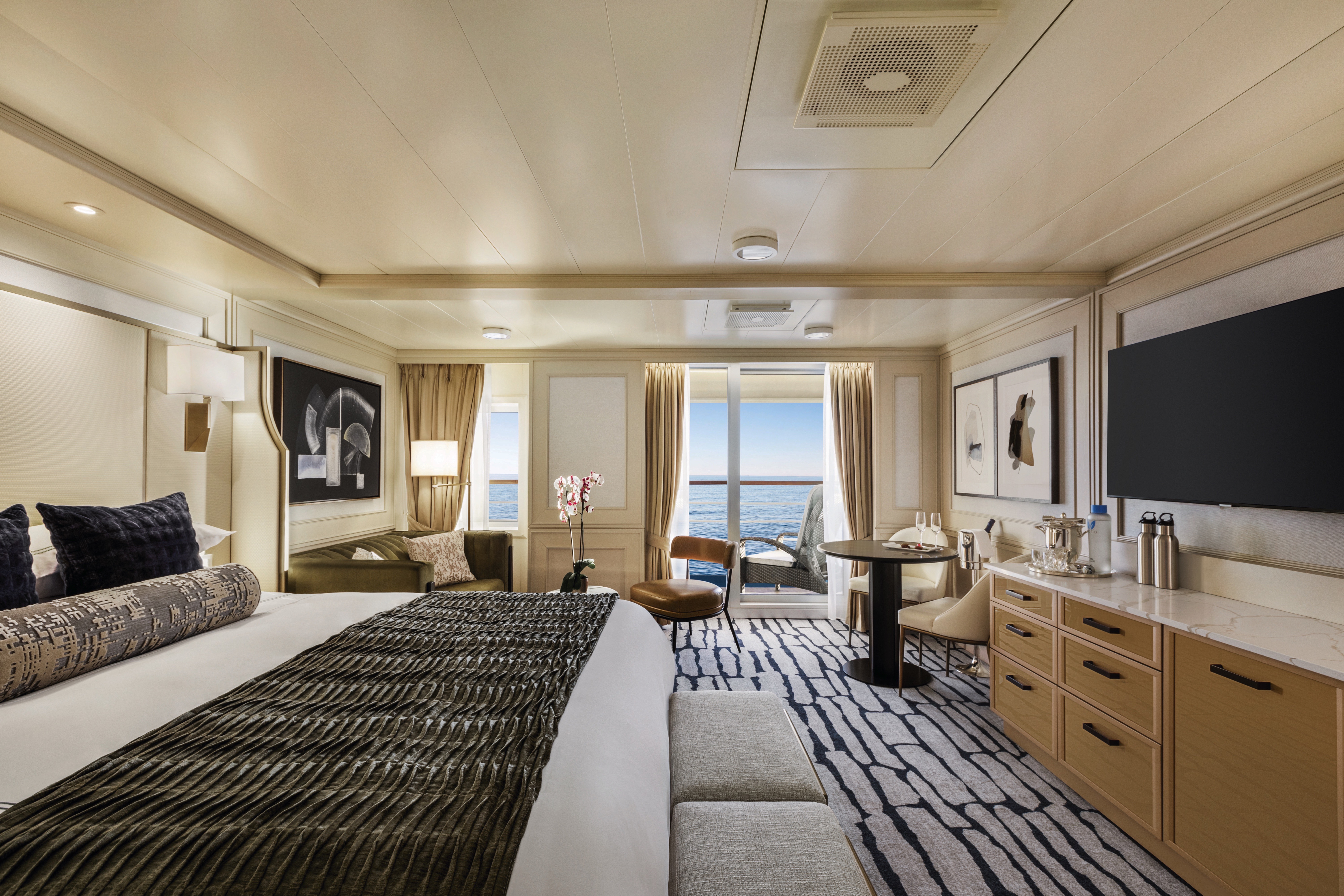
With nary a detail left untouched, our refreshed Concierge Level Veranda Staterooms boast an extravagant new Continental style throughout. These 291-square-foot retreats offer enticing amenities also found in our Penthouse Suites, such as a private teak veranda, gracious seating area, refrigerated mini-bar and an oversized bathroom featuring new storage space and an enlarged walk-in shower. In the private Concierge Lounge, relish the services of a dedicated Concierge and partake in an alluring array of beverages, daily treats and a selection of global newspapers and thought-provoking magazines.
Exclusive Concierge Privileges
In addition to Suite & Stateroom Amenities
Expanded lunch and dinner room service menu from The Grand Dining Room
- Complimentary laundry service – up to 3 bags per stateroom+
- Exclusive card-only access to private Concierge Lounge staffed by a dedicated Concierge featuring complimentary soft drinks, coffees and snacks throughout the day
- Complimentary welcome bottle of Champagne
- Priority online specialty restaurant reservations
- Unlimited access to the Aquamar Spa Terrace
- Complimentary Oceania Cruises logo tote bag
- Cashmere lap blankets, perfect for relaxing on your veranda
- Complimentary pressing of garments upon embarkation++
- Complimentary shoeshine service
+Up to 20 garments per laundry bag; additional restrictions apply.
++Certain limitations apply.
Smoking in suites, staterooms and on verandas is strictly prohibited.
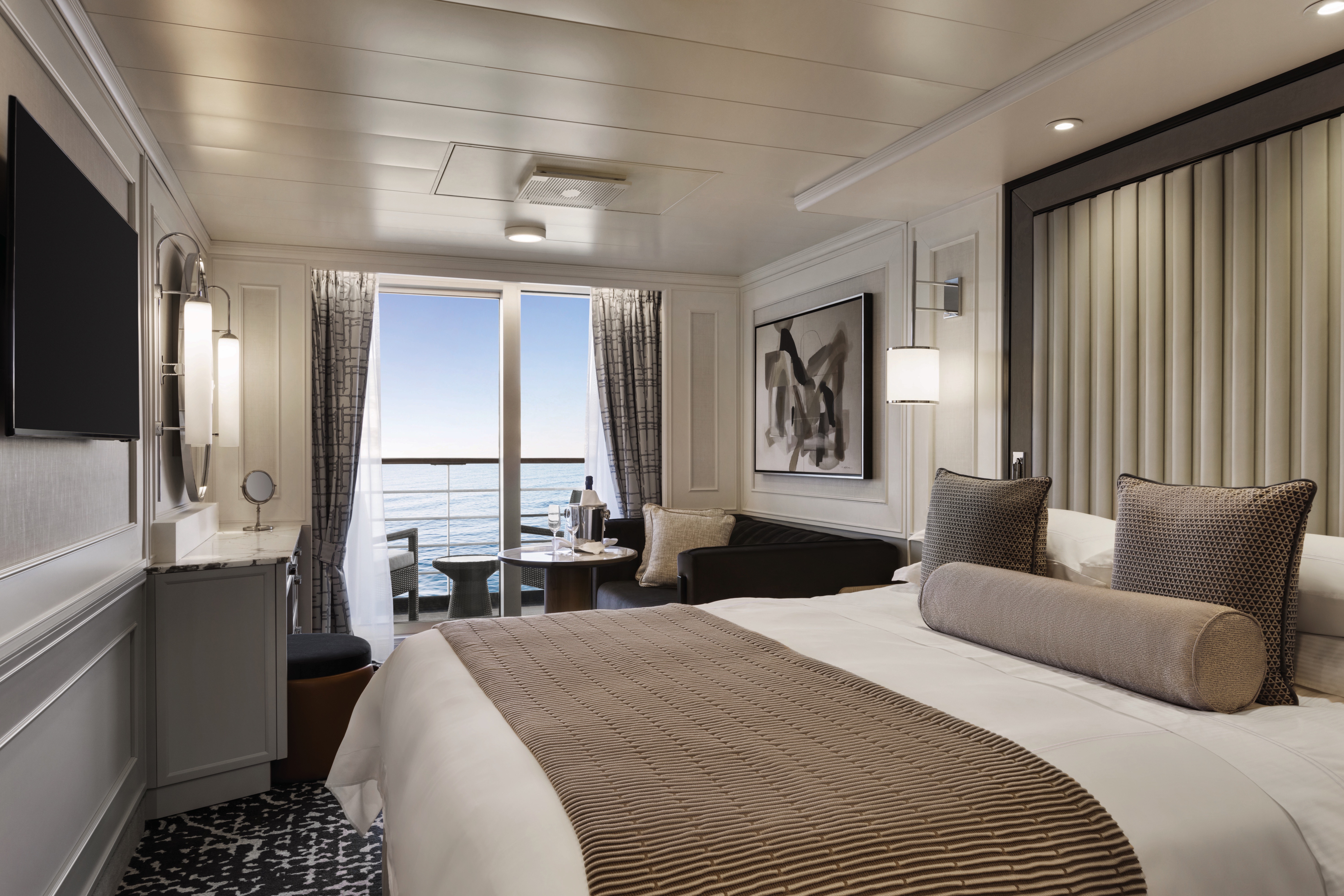
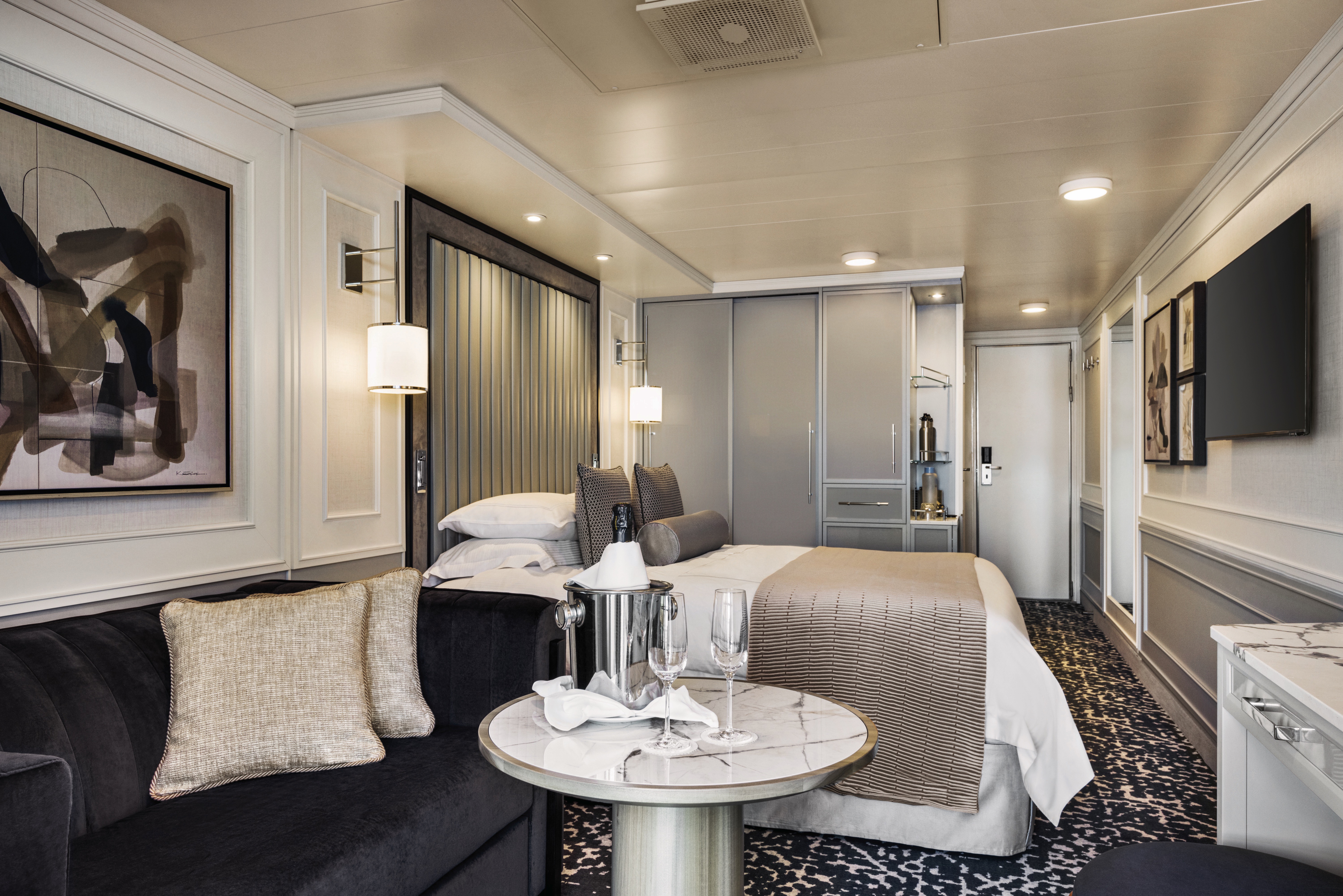
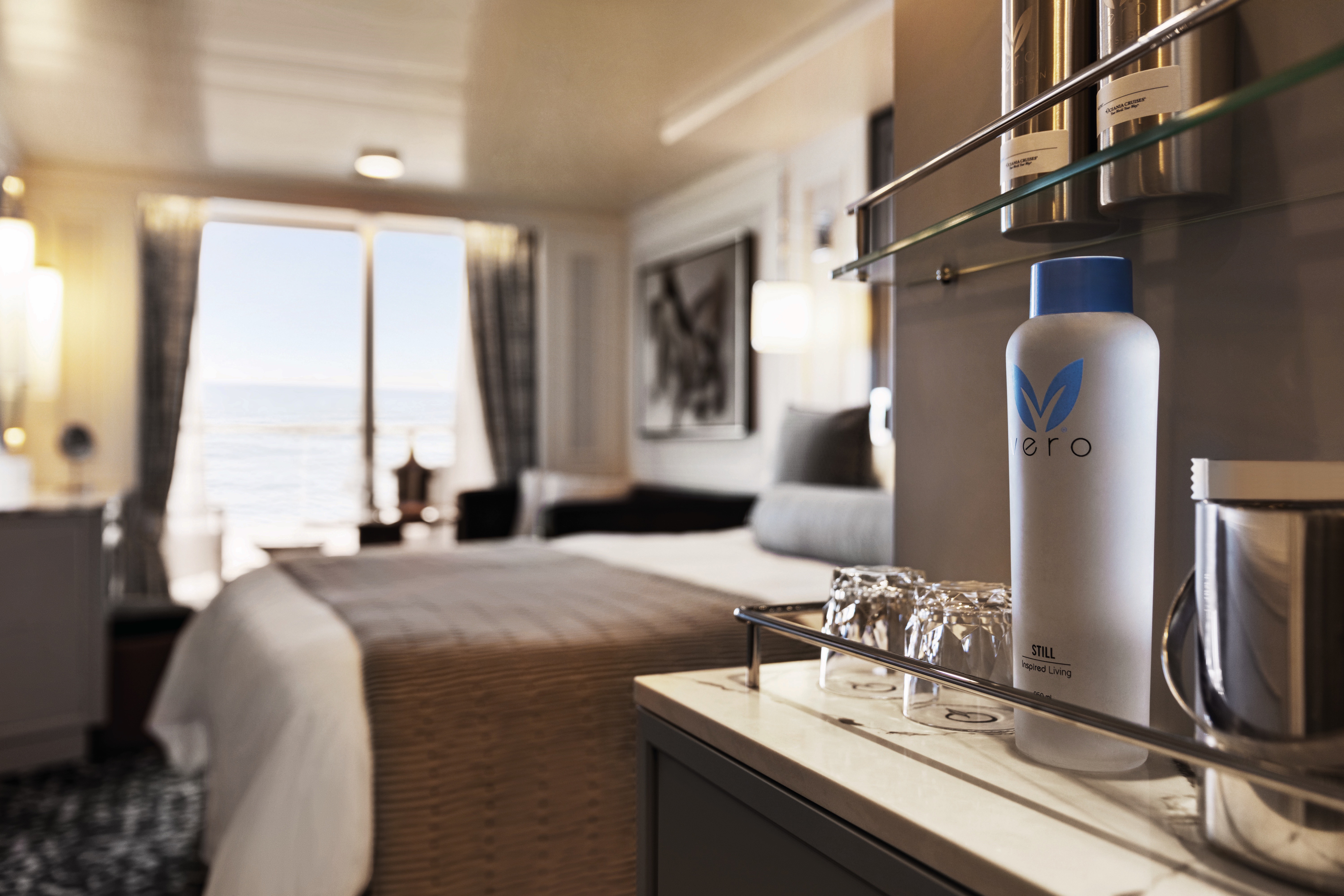
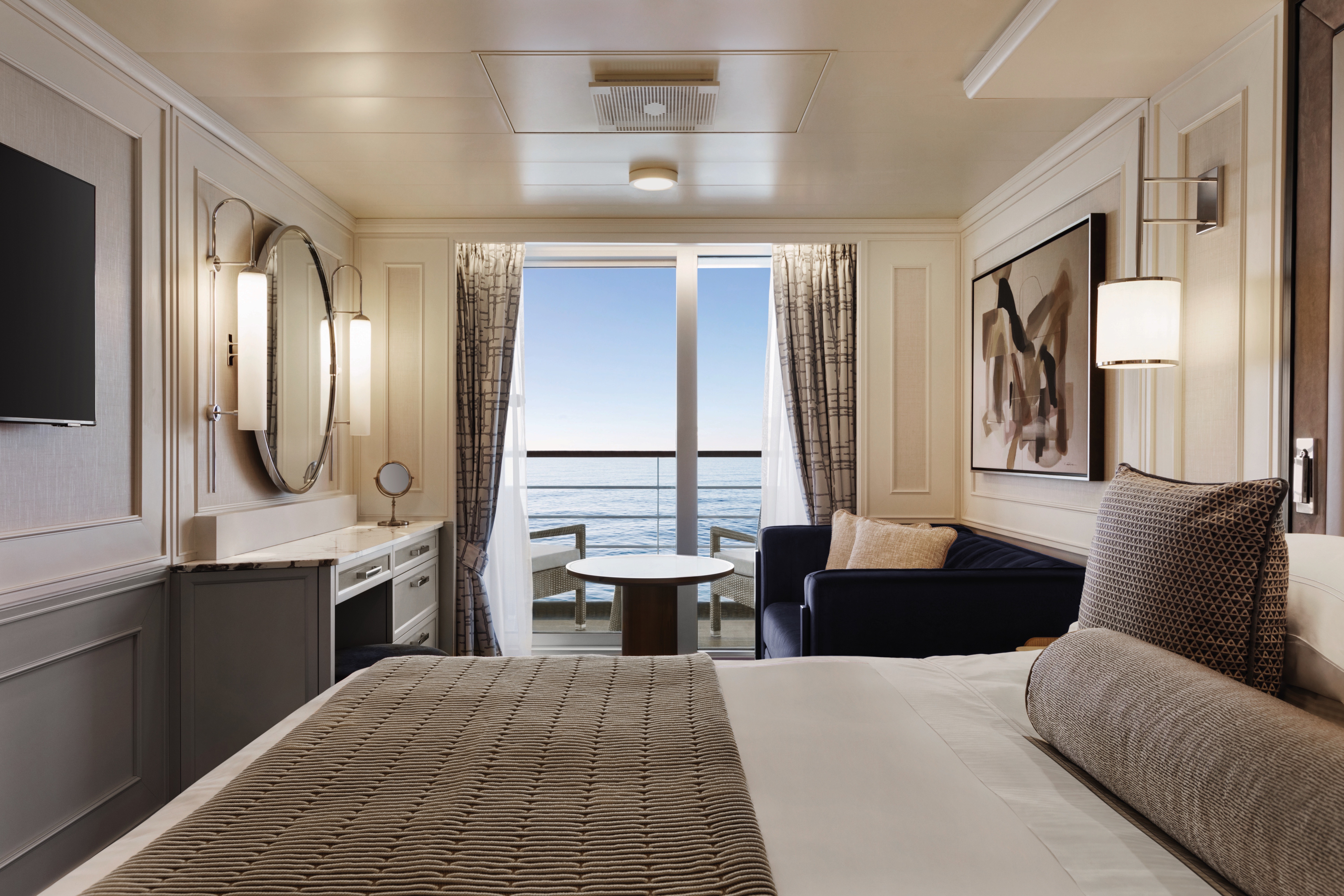
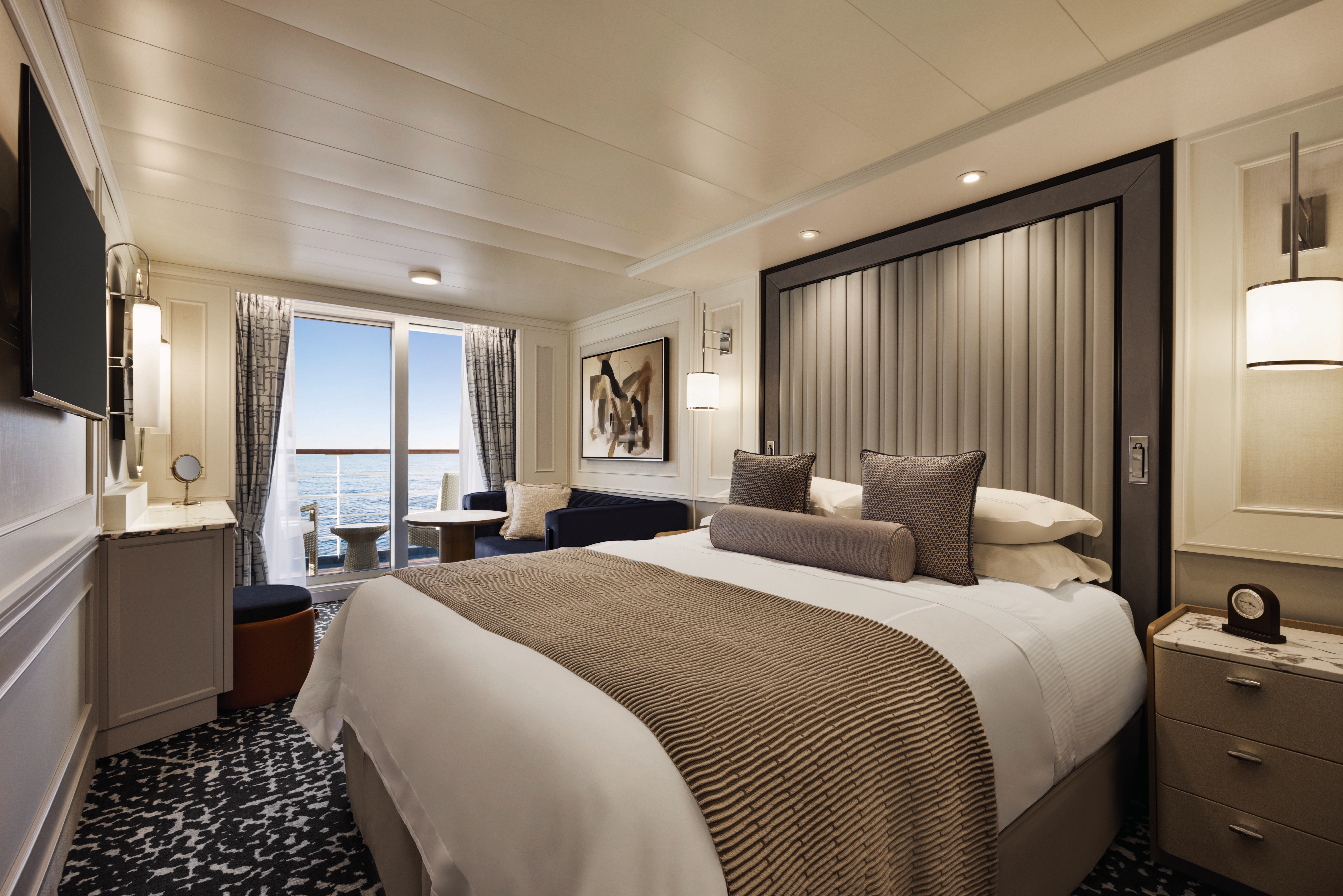
Our coveted 291-square-foot Veranda Staterooms, among the most generous at sea, have been imbued with sumptuous new furnishings in calming hues to create the ultimate sanctuary. There is ample room for leisurely pursuits, including a furnished private teak veranda. Indulgent amenities are plentiful, such as dazzling new lighting, an inviting seating area, refrigerated mini-bar, generous closet and a marble- and granite-sheathed bathroom showcasing new additional storage and an expanded walk-in shower.
Veranda Stateroom Amenities
- Tranquility Bed, an Oceania Cruises exclusive, with 1,000-thread-count linens
- Complimentary soft drinks replenished daily in your refrigerated mini-bar
- Complimentary still & sparkling Vero Water
- Private teak veranda
- Bulgari amenities
- Room service menu 24 hours a day
- Twice-daily maid service
- Belgian chocolates with turndown service
- Interactive television system with on-demand movies, weather and more
- Wireless Internet access and cellular service
- Writing desk and stationery
- Plush cotton towels
- Thick cotton robes and slippers
- Handheld hair dryer
- Security safe
Smoking in suites, staterooms and on verandas is strictly prohibited.
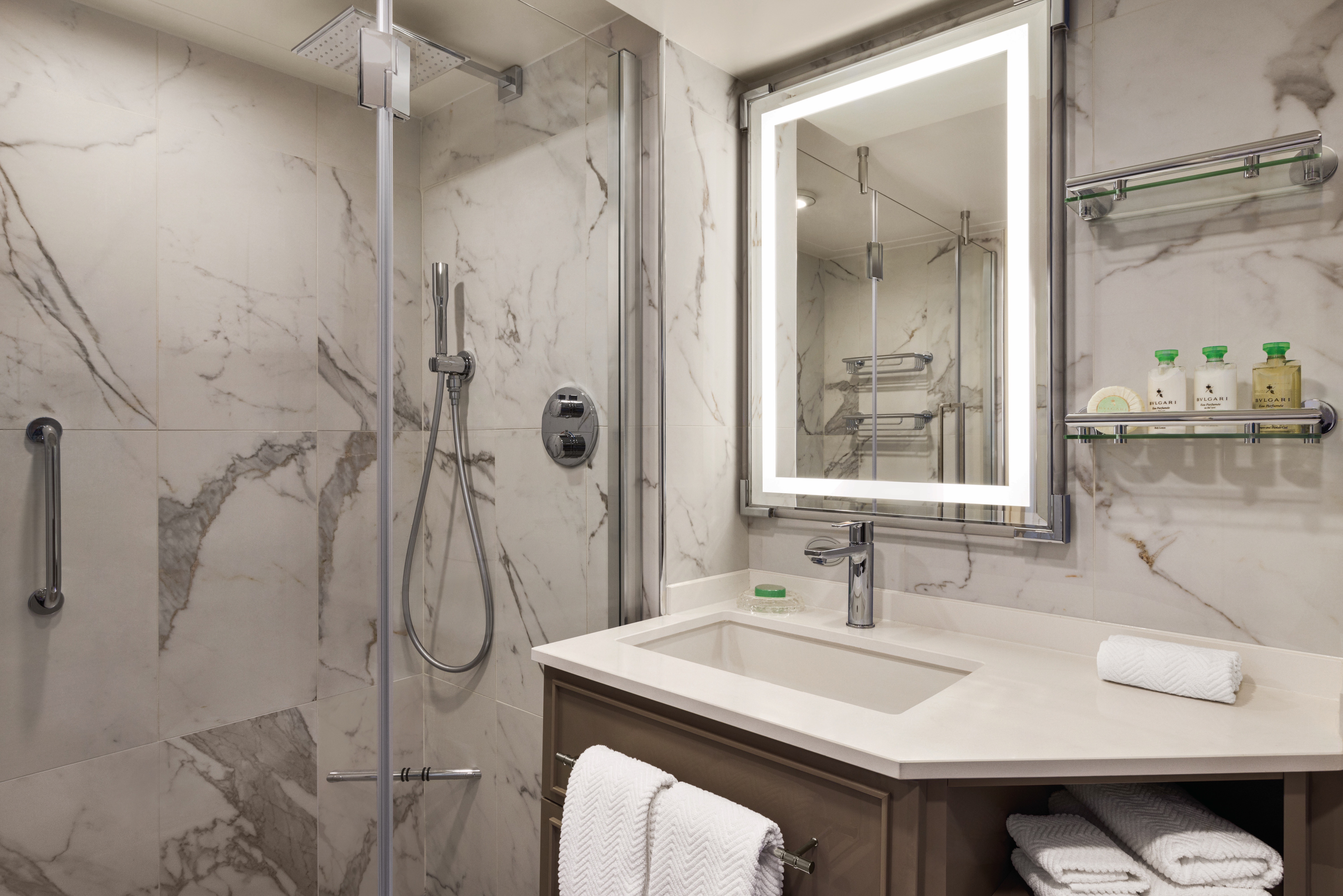
Highlighting floor-to-ceiling panoramic windows, our thoroughly renewed Deluxe Oceanview Staterooms deliver 240 square feet of sybaritic bliss. With curtains drawn open, natural light bathes the plush Tranquility Bed, convivial seating area, vanity desk, breakfast table and refrigerated mini-bar with a rich glow. Luxury also permeates the marble- and granite-clad bathroom, which features an expanded walk-in shower.
Deluxe Oceanview Stateroom Amenities
Complimentary soft drinks replenished daily in your refrigerated mini-bar
- Complimentary still & sparkling Vero Water
- Complimentary room service menu 24 hours a day
- Tranquility Bed, an Oceania Cruises Exclusive
- Bulgari amenities
- Twice-daily maid service
- Category (C1) includes accessibility features in stateroom 7064 and 7067.
- Interactive television system with on-demand movies, weather and more
- Wireless Internet access and cellular service
- Writing desk and stationery
- Plush cotton towels, robes and slippers
- Handheld hair dryer
- Security safe
- Belgian chocolates with turndown service
Deluxe Oceanview Accessibility Features:
- Available in staterooms #7082 and #7085
- Bed with hoist space
- Large bathroom door
- Toilet grab rails
- Roll in bathrooms with no lip riser which has a wraparound drainage system
Smoking in suites, staterooms and on verandas is strictly prohibited.
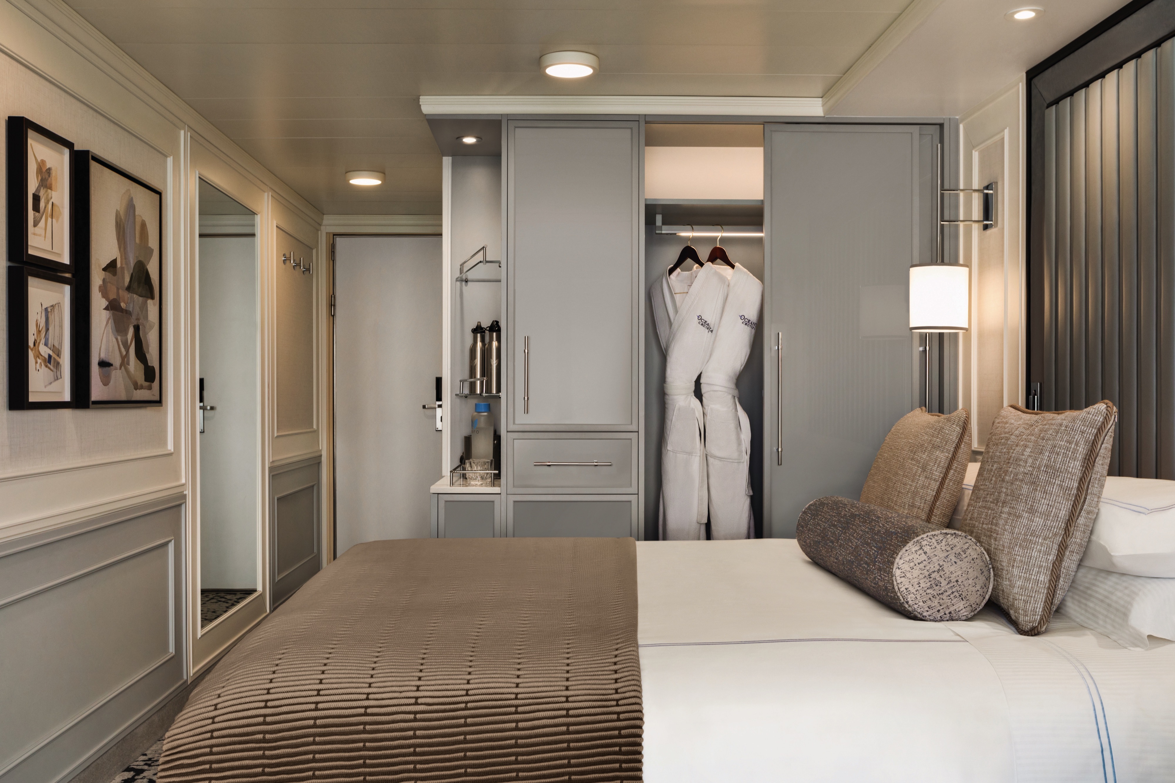
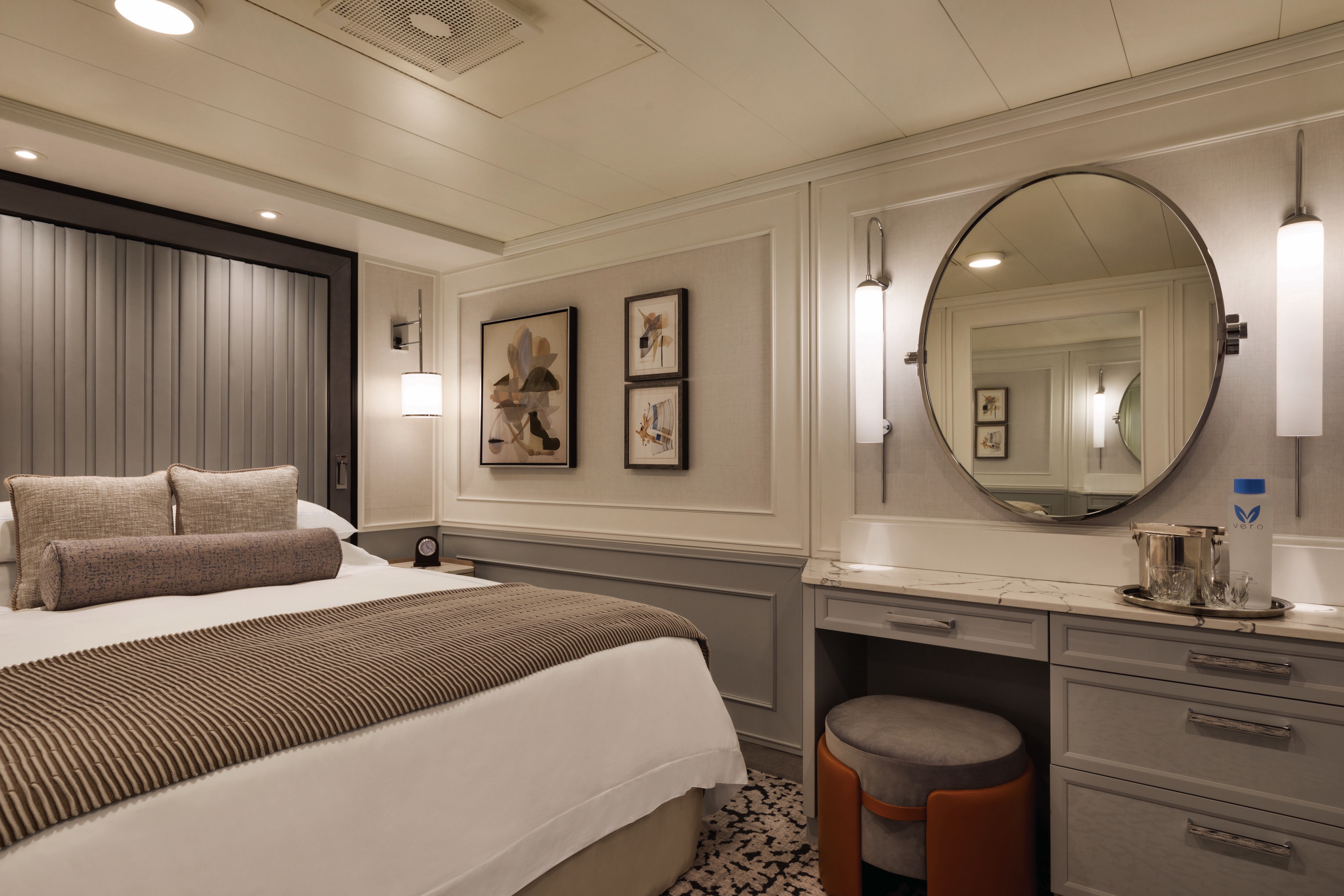
Our Inside Staterooms feature 174 square feet of refined elegance and idyllic solace. Freshly reimagined with stylish new furnishings and a restful palette, these sanctuaries feature thoughtful amenities such as a vanity desk, breakfast table, refrigerated mini-bar and a tony European stone-enveloped bathroom with a shower.
Inside Stateroom Amenities:
Complimentary soft drinks replenished daily in your refrigerated mini-bar
- Complimentary still & sparkling Vero Water
- Complimentary room service menu 24 hours a day
- Tranquility Bed, an Oceania Cruises Exclusive
- Bulgari amenities
- Twice-daily maid service
- Interactive television system with on-demand movies, weather and more
- Wireless Internet access and cellular service
- Writing desk and stationery
- Plush cotton towels, robes and slippers
- Handheld hair dryer
- Security safe
- Belgian chocolates with turndown service
Smoking in suites, staterooms and on verandas is strictly prohibited.
Oceania Riviera
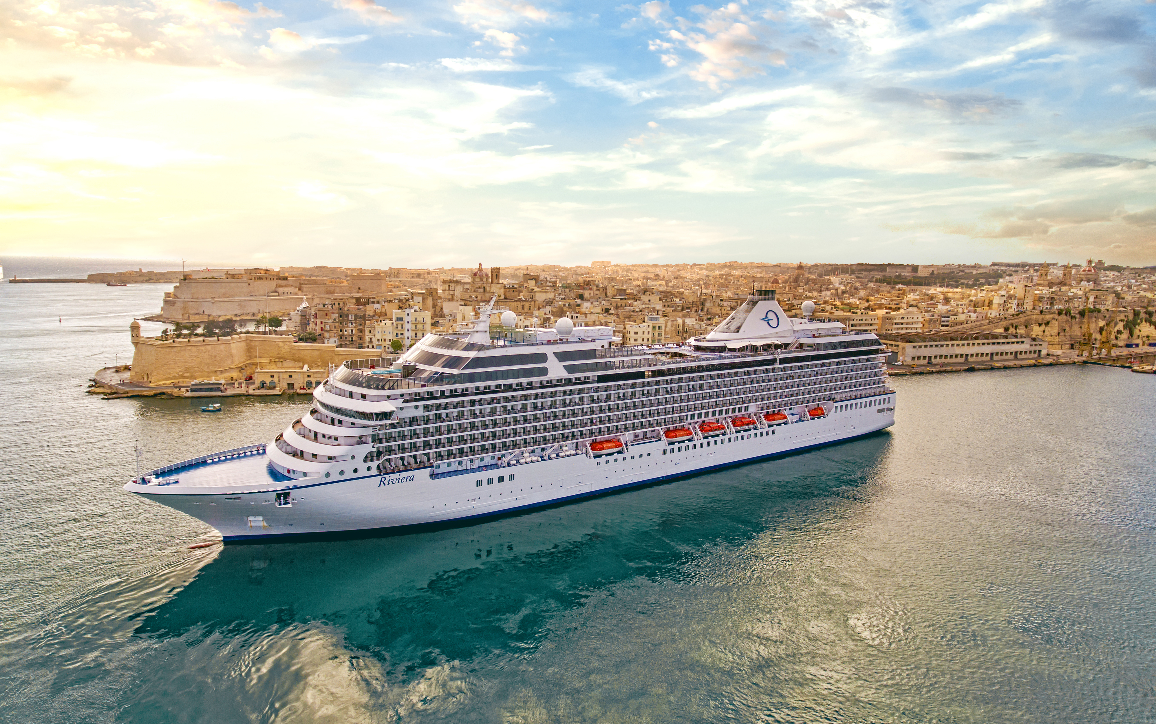
Sister ship to Marina, stunning Oceania Riviera was designed to be special in so many ways and reflects a new level of grace and elegance through designer touches, upholstery and fabrics throughout. She features multiple gourmet restaurants and along with Marina, offers unforgettable food and wine pairings at La Reserve by Wine Spectator as well as the opportunity for private dining at opulent Privée. From the Lalique Grand Staircase to the Owner's Suites furnished in Ralph Lauren Home, designer touches that create a casually elegant atmosphere are everywhere. Oceania Riviera's refined ambiance truly embodies the unparalleled Oceania Cruises experience.
Oceania Riviera blends sophistication with a contemporary flair to create a casually elegant ambiance. From the sparkling Lalique Grand Staircase to the stunning Owner's Suites, designer touches are everywhere, highlighting the finest residential design and furnishings. More than anything, Oceania Riviera personifies the Oceania Cruises experience.
Ship Facts
| Launch Year | 2012 | ||||||||
| Refit Year | 2022 | ||||||||
| Language | en | ||||||||
| Gross Tonnage | 66084 | ||||||||
| Length | 181 | ||||||||
| Width | 32 | ||||||||
| Currency | USD | ||||||||
| Speed | 20 | ||||||||
| Capacity | 1250 | ||||||||
| Crew Count | 800 | ||||||||
| Deck Count | 11 | ||||||||
| Cabin Count | 629 | ||||||||
| Large Cabin Count | 0 | ||||||||
| Wheelchair Cabin Count | 6 | ||||||||
| Electrical Plugs |
|
Deck 16
- Golf Putting Greens
- Paddle Tennis

Deck 15
- Croquet/Bocce
- Shuffleboard
- Fitness Track
- Elevator
- Horizons
- Bar

Deck 14
- Priveé
- Toscana
- Polo Grill
- Elevator
- Library
- Board Room
- Baristas
- Sun Deck
- Sanctuary
- Patio
- Fitness Centre
- Aerobics
- Styling Salon
- Aquamar Spa
- Oceania@Sea
- Steam Room/Sauna
- Spa Terrace

Deck 12
- Terrace Café
- La Reserve
- Waves Grill
- Stage
- Pool
- Whirlpools
- Waves Bar
- The Culinary Centre
- Artist Loft
- Elevator
- Concierge Level Veranda
- Oceania Suite
- Vista Suite

Deck 11
- Executive Lounge
- Bridge
- Concierge Level Veranda
- Oceania Suite
- Penthouse Suite
- Elevator

Deck 10
- Concierge Level Veranda
- Inside Stateroom
- Owner's Suite
- Penthouse Suite
- Vista Suite
- Elevator

Deck 9
- Concierge Lounge
- Concierge Level Veranda
- Inside Stateroom
- Owner's Suite
- Penthouse Suite
- Vista Suite
- Elevator

Deck 8
- Veranda Stateroom
- Inside Stateroom
- Owner's Suite
- Vista Suite
- Elevator

Deck 7
- Veranda Stateroom
- Deluxe OceanView
- Penthouse Suite
- Elevator

Deck 6
- The Grand Dining Room
- Casino Bar
- The Grand Bar
- Casino
- Martinis
- Upper Hall
- Elevator

Deck 5
- Red Ginger
- Jacques
- Boutiques
- Concierge
- Reception
- Destination Services
- Elevator
- Lounge
- Stage
- Medical Centre - Located on Deck 4 (Not shown)

Culinary Masterpieces
Designed for epicureans and travel connoisseurs, Oceania Riviera features an array of complimentary specialty restaurants and unique dining experiences you’ll remember long after your cruise ends. The gourmet restaurants each serve a distinctive set of dishes created à la minute, from Continental and wellness-inspired cuisine at The Grand Dining Room and classic French fare at Jacques to vibrant Asian cuisine at Red Ginger and steakhouse favorites at Polo Grill.
The Luxury of Casual
You’ll savor cuisine renowned as the finest at sea no matter where you choose to dine or relax on Oceania Riviera – whether that means a poolside burger, a scoop of Humphry Slocombe’s bourbon-flavored cornflake-studded Secret Breakfast ice cream or a perfectly prepared cappuccino accompanied by freshly baked biscotti. Our culinary team’s attention to detail, passion for artisanal ingredients and dedication to technique extends to our casual dining, poolside experiences, Baristas coffee bar and the cherished ritual of Afternoon Tea at Horizons too.
In-Room Dining Experiences
After a day of enriching adventures ashore or an enjoyable day on board, dining in the privacy of your suite or stateroom with our compliments is always a welcome possibility. A complete menu of varied dining experiences is available around the clock, featuring an extensive array of delectable breakfast, lunch and dinner items. All suites and staterooms have the added luxury of enjoying a full, hot breakfast in-room and those staying in Concierge Level or above have the additional privilege of ordering from an expanded lunch and dinner room service menu from The Grand Dining Room. Suite guests have the ultimate indulgence of enjoying course-by-course meals from the comfort of their spacious sanctuaries. Revel in the private luxury of your suite or stateroom, and enjoy an exquisite meal on your tranquil veranda as you take in spectacular seascapes.
Exclusive Dining Experiences
Celebratory, indulgent and unforgettable – a night in either of Oceania Riviera’s exclusive culinary venues, Privée and La Reserve by Wine Spectator, offers a divine experience. La Reserve by Wine Spectator creates distinctive pairing dinners and also features sommelier-led tastings and wine seminars. Meanwhile, the opulent private dining venue of Privée transforms a dinner into a luxurious affair. Each creates an extraordinary evening to laugh, savor and remember.
The Grand Dining Room
DINING IN GRAND STYLE
The grande dame of the Oceania Cruises culinary world, The Grand Dining Room invites guests to a leisurely dining experience amidst an ambiance that soars to heights as lofty as the cuisine. Our marquee restaurant has always featured Jacques Pépin’s signature delights and a bevy of delicious Continental dishes and now offers even more exciting choices, Aquamar Vitality Cuisine and a wide spectrum of global flavors. Menus change daily, and the all-new Executive Chef’s Tasting Menu promises multiple courses of the chef’s most divine creations.
Open for breakfast, lunch and dinner. No reservations required.
Jacques
A PASSION FOR FRENCH CUISINE
Exquisitely decorated with heirloom antiques, pickled wood furnishings and art from Jacques Pépin’s personal collection, Jacques was modeled after a Parisian bistro. Comfortable and eclectic, the ambiance is pure French, as is the cosmopolitan yet wonderfully embraceable cuisine. Luscious aromas waft from the gleaming show rotisserie, where chicken, duck, pork, beef and veal roasts slowly turn. Each dish is a classic, ingeniously reinterpreted by Master Chef Pépin. Rotisserie roasted chicken falls off the bone, bursting with flavor, while his sea bass fillet pairs exquisitely with beurre blanc.
Open for dinner only. Reservations required.
Red Ginger
BOLD ASIAN CUISINE
With a nod to feng shui, Red Ginger radiates harmony and tranquility. The interior simply glows with ebony woods, ruby red leathers and striking, modern Asian artworks. To complement the stunning decor, Red Ginger’s chefs have created contemporary interpretations of Asian classics. Begin with a salad of spicy roast duck and watermelon with cashews, mint and Thai basil. Savor a Malaysian beef penaeng with coconut rice and paratha roti. Or try Thai vegetable curry with sweet potatoes, aubergine, mushrooms and basil in green curry sauce. In Red Ginger, the gustatory pleasures are as striking as the visual ones.
Open for dinner only. Reservations required.
Polo Grill
A CLASSIC STEAKHOUSE
Polo Grill embodies all the elements of a classic steakhouse, expressing them with timeless reverence. Mindful of tradition, the decor features crisp, white linen tablecloths, dark wood furnishings and supple, high-back, burgundy leather chairs. Each course stands as the very definition of time-honoured favourites, most notably the beef dishes, all of which are certified Black Angus USDA Prime and dry aged to enhance tenderness and flavour. Succulent seafood dishes such as grilled swordfish and whole Maine lobster gratinée are also classics in their own right. The classic Caesar salad, too, is prepared according to tradition, table-side and with gusto.
Open for dinner only. Reservations required.
Toscana
AUTHENTIC ITALIAN
Toscana means Tuscan, and just as Tuscan cuisine evolved from rich family traditions, many of our recipes originated with the mothers and grandmothers of our own Italian culinary staff. Presented on elegant, custom-designed Versace china, masterfully prepared dishes exemplify the essence of Tuscany and celebrate Italy’s culinary passion. Perhaps the evening begins with the octopus carpaccio with Champagne vinaigrette or the artichoke and parmesan cheese timbale with black truffle sauce. Classic dishes from other regions of Northern Italy are featured as well, such as the minestrone alla Genovese, lasagna alforno alla Bolognese and osso buco alla Milanese.
Open for dinner only. Reservations required.
Terrace Café
INFORMAL DINING
Informal and carefree, the Terrace Café is wonderfully inviting any time of day. During breakfast, the room is infused with natural sunlight from the floor-to-ceiling windows, stimulating the appetite for the sumptuous selections. Come lunch, the expansive menu of international-inspired dishes changes entirely, complemented by a flavorful roast and the magic of the pizzeria’s oven. Dine inside or alfresco at one of the shaded teak tables on the terrace. During the evenings, the cuisine takes on a more sophisticated flair, with lobster tails, chops and fresh fish prepared to order, and freshly made hand-cut sushi and sashimi. In addition, a diverse selection of bold and flavorful plant-based dishes is available.
Open for breakfast, lunch and dinner. No reservations required.
Waves Grill
ALFRESCO DINING
Sometimes, the ultimate luxury is casual dining on all-American favorites, a laid-back style Waves Grill epitomizes. Located in a spacious, shaded area steps from the swimming pool, Waves Grill offers an extensive and mouthwatering menu. Then try a decadent dessert such as a homemade passion fruit sorbet, a made-to-order hot fudge sundae, a hand-dipped milkshake or one of the new, whimsical ice cream flavors by Humphry Slocombe, such as Secret Breakfast, Elvis (the Fat Years) or our signature flavor, Regatta Royale.
The Pizzeria at Waves Grill
Visit Waves Grill in the evening to experience an atmospheric Neapolitan trattoria with a warm pizza oven at the epicenter. Pair savory antipasti, creamy burrata selections or spicy chicken wings with a crisp glass of sauvignon blanc or refreshing rosé. Hand-tossed pizzas feature delectable toppings ranging from smoky roasted bell peppers and earthy truffle oil to fiery chorizo and tart lemon chicken. The irresistible aromas will draw you in and the flavorful creations will make you want to linger over dinner just as they do in Italy.
HEALTHY MORNINGS
Raw Juice & Smoothie Bar
The only cold-pressed Raw Juice & Smoothie Bar at sea serves up tasty raw juices, plant-based smoothies and energy bowls at Waves Grill during breakfast on board Oceania Riviera.
Breakfast
7:00 am – 11:00 am
Lunch
11:30 am – 4:00 pm
The Pizzeria at Waves Grill
6:30 pm – 9:00 pm
Privée
A PRIVATE PARTY
For the ultimate in exclusivity, Privée may be reserved for the evening for parties of up to 10 privileged guests. Choose from several different gourmet menus to create an unforgettable experience in an exquisite, custom-designed setting illuminated by a golden Venini chandelier.
Reservations required. A room reservation surcharge applies.
La Reserve by Wine Spectator
EPICUREANS & WINE CONNOISSEURS
The most inspired achievements are born of legendary partnerships, and at Oceania Cruises we are proud of our brilliant union with Wine Spectator, the foremost magazine for wine connoisseurs, and our exceptional relationship with France’s premier Champagne house, Moët & Chandon. Along with these illustrious partners, we are pleased to present a variety of differing but equally extraordinary pairing dinners. Developed with Moët & Chandon’s Executive Chef Marco Fadiga, the six-course Dom Pérignon Experience is a spirited Champagne pairing dinner blending playful Dom Pérignon vintages and refreshing gastronomic surprises such as Sakura Tea “Geisha Flower” Ice Cream and Lemon Caviar. The seven-course La Cuisine Bourgeoise wine pairing dinner celebrates the rituals of the table and links masterfully curated wine selections with dishes such as Filet de Boeuf Rôti Richelieu, one of many recipes Oceania Cruises’ Master Chef and Executive Culinary Director Jacques Pépin has enjoyed since his childhood. Coupled with wine seminars and vintage tastings, La Reserve by Wine Spectator is an unabashedly glorious celebration of the pleasures of the palate.
THE DOM PÉRIGNON EXPERIENCE
Champagne defines the most jubilant moments of our lives and in a magnificent stroke of brilliance, we have partnered with France’s esteemed Moët & Chandon to create the Dom Pérignon Experience at La Reserve, an exuberant six-course gustatory indulgence that pairs each course with a special Dom Pérignon vintage. Champagne is effortlessly matched with dishes which are thoughtfully crafted to bring out the nuances of the grapes and the ratio of the blend, playing off every aspect from subtle, effervescent nose to lively, satisfying finish. From Brittany Blue Lobster in Yellow Curry Broth with Coco Foam to Sashimi-Style Seared Wagyu Beef with Sautéed Arugula, Blood Orange-Soya Jus and Caviar Perlita, each beguiling bite is a celebration of the finer things in life. While the Dom Pérignon Experience is the perfect complement to any joyous occasion, it transcends even this lofty role. In true French spirit, it becomes the culinary manifestation of joie de vivre.
Open for dinner only. Reservations required. Wine or Champagne experience surcharge applies.
Afternoon Tea
TIME-HONOURED PASTIME
Teatime is a celebratory daily event at four o’clock. As a classical string quartet plays softly, our staff presents bountiful four-tiered pastry carts filled with freshly made finger sandwiches, petits fours, scones and sinful desserts. Of course, a selection of traditional and artisanal teas is the centrepiece of this splendid afternoon pastime.
Daily at 4pm. No reservations required.
Baristas
SPECIALTY COFFEE
This delightful coffee bar is a favorite stop for java lovers. Enjoy complimentary espressos, cappuccinos and lattes prepared by our master baristas, as well as the delicious pastries, finger sandwiches and homemade biscotti that draw so many to Baristas throughout the day.
Open daily until early evening. No reservations required.
Room Service
In-Room Dining Experiences
After a day of enriching adventures ashore or an enjoyable day on board, dining in the privacy of your suite or stateroom with our compliments is always a welcome possibility. A complete menu of varied dining experiences is available around the clock, featuring an extensive array of delectable breakfast, lunch and dinner items. All suites and staterooms have the added luxury of enjoying a full, hot breakfast in-room and those staying in Concierge Level or above have the additional privilege of ordering from an expanded lunch and dinner room service menu from The Grand Dining Room. Suite guests have the ultimate indulgence of enjoying course-by-course meals from the comfort of their spacious sanctuaries. Revel in the private luxury of your suite or stateroom, and enjoy an exquisite meal on your tranquil veranda as you take in spectacular seascapes.
Life On Board
From sipping fine vintages at a wine tasting to attending a show-stopping performance in the ship lounge, a wonderful spectrum of enriching activities and lively entertainment awaits you on board Oceania Riviera. Join one of our esteemed Guest Speakers to discover their unique cultural expertise, indulge in a treatment at Aquamar Spa + Vitality Center or take a hands-on cooking class at The Culinary Center. As the sun lowers, gather with friends in one of the convivial bars, attend a spectacular production show or take in an unforgettable musical performance.
Music & Entertainment
World-class musical performances will dazzle you, showcasing an ever-changing array of guest entertainers such as pianists, classical string quartets, dynamic vocalists and spectacular headliners. Oceania Riviera features a unique lineup of onboard shows and entertainers to ensure that your interests are constantly piqued. Unforgettable evenings at energetic, show-stopping performances are just steps from your suite or stateroom.
Bars & Lounges
From chic Martinis to the laid-back poolside Waves Bar, there's a perfect enclave on board Oceania Riviera for every mood. Visit the elegant Grand Bar for a pre-dinner cocktail, catch a headline act in the Lounge or watch the sun set in Horizons accompanied by a glass of wine and lively music. As you explore the world, these bars and lounges are the place to unwind, gather together, laugh and take in one-of-a-kind shows and musical performances.
Entertainment & Onboard Shows
DAZZLING PERFORMANCES
EXCLUSIVE PRODUCTION SHOWS
World-class musical performances will delight you, showcasing an ever-changing array of guest entertainers such as pianists, classical string quartets, dynamic vocalists and spectacular headliners.
Each of our ships features a unique lineup of onboard shows and entertainers to ensure that your interests are constantly piqued. Bold and crowd-thrilling, nostalgic and upbeat, or intimate and sophisticated – whatever you choose, the night is yours.
Oceania Riviera's versatile and talented cast performs the following diverse production shows:
Broadway in Concert
Come on along and listen to…the lullabies of Broadway! In this elegant concert-style review, our fabulous production cast vocalists pay tribute to some of the most iconic musicals of all time. You’ll experience songs you know and love, and maybe you'll discover one or two more contemporary gems. Let us entertain you…because, after all, “There’s no business like show business!”
Lights, Camera, Music
See your favorite cinematic classics come to life in this cultivated tribute to the most recognizable moments of the Hollywood movie musical, from the romantic glamour of the 1940s to the high-kicking can-can of the Moulin Rouge. So, curtain up…light the lights…as we proudly present…Lights, Camera, Music!
What the World Needs Now
What the World Needs Now celebrates song-writing legend Burt Bacharach. In the 1960s, he turned popular music on its head with his unique style. He broke musical boundaries as he composed some of the most recognizable melodies ever created. The production cast and show band orchestra take you on an elegant musical journey with vibrant dance numbers and beautiful heartfelt songs about love and its challenges.
World Beat
We’ll take you on a spectacular voyage through a world of music, rhythm and dance. This lively theatrical showcase pays tribute to just a few of the many cultures represented by our various crew members on board. Feel the organic rhythm of Tinikling from the Philippines, and dwell in the vibrant energy of the Bollywood musical hits of India. We’ll pay homage to the Chinese New Year and marvel at the precision of Irish dance — and the journey doesn’t end there.
Casino
EARN CASINO POINTS
The professional staff is happy to provide lessons on how games are played, the rules and proper table procedures. Unwind from a busy day ashore by playing your favourite games of chance and skill in our casino. Enjoy a fun and exciting range of ways to play, from card and table games such as blackjack and roulette to slot machines.
Getting started is easy. Stop by the casino cage and pick up your Oceania Cruises casino player card and start earning points today by inserting your player card while playing your favourite slot machines and table games. The more you play, the more you earn!
- Reel & Video Slots - For every $5 coin-in, receive 1 point.
- Video Poker - For every $10 coin-in, receive 1 point.
- Table Games - Points are based on average bet, session play or hands played and game type.
- Action-packed casinos designed with style
- Table game limits for players of all levels
- Diverse array of reel slot, video slot and video poker machines
- Dedicated and knowledgeable casino staff
- Industry-leading player tracking system
- Free gaming lessons
REDEEM CASINO POINTS
You’ve played. You’ve earned. Now you’re ready to redeem. Downloading points for play is quick and easy. Redeem your casino points for play right at your machine by following the on-screen prompts or stop by the casino cage – the choice is yours.
- Earn points for all your casino play
- Redeem points for play right at your machine
CASINO CASH & CREDIT
Front Money deposits are accepted for gaming in the form of cash, traveler’s checks, cashier’s checks and wire transfers delivered to us prior to embarkation. All cashier’s checks require prior verification. For more information, please give us a call at 877.625.2094.
Cashless Wagering
Charge gaming to your onboard account directly from your game of choice or at the casino cashier, using your stateroom key card. Convenience fees, daily limits and cruise limits apply. Euros may be exchanged at the casino cashier; exchange rates apply. All gaming is in US Dollars.
- Cashless wagering allows you to game with your key card
Credit
Casino credit is available to all players with an existing reservation. The minimum application amount is $10,000.00 and a personal check is required on board to activate the credit line. Applications are processed 1 month prior to sailing. The application process is easy and there is no fee to apply. To get started, click here for our credit application or for more information email us at casinocredit@ncl.com or call us at 877.625.2094.
- Casino credit available
Boutique Shopping
UNIQUE GIFTS, JEWELLERY & MORE
Our stylish boutiques feature a tastefully curated selection of items ranging from sundries to chic resort wear and fine jewelry. Discover thoughtful gifts for friends and family or the perfect memento to remind you of your special cruise experience.
DUTY-FREE ON BOARD OCEANIA RIVIERA
Browse through our collection of duty-free merchandise including fine jewelry, watches, fragrances and Oceania Cruises logo wear. Also find shipboard keepsakes, designer handbags, sunglasses, books and more.
Library
QUIETUDE AT SEA
Pick up a steaming cappuccino and settle in to the welcoming ambiance of our classic library on board Oceania Riviera with the novel or bestseller you’ve been meaning to read. Relax and feel right at home with more than 2,000 books and periodicals to choose from as you sail from one destination to the next.
Just as sailing aboard Oceania Cruises recalls the elegance of the Golden Age of Travel, our inspired English-style library is reminiscent of a charming English country estate where you can while away the hours in ultimate comfort. There is something magical about the dark, rich woods; the plush high back chairs; the cozy fireplaces and rows of books lining the walls, each a new world waiting to be discovered.
Oceania@Sea Internet Centre
Stay in touch with family and friends, monitor business developments and more in our 24-hour Internet centre, Oceania@Sea.
For personalised service, Oceania@Sea is fully staffed as follows:
- Sea Days: 8 a.m. - 7 p.m.
- Port Days: 8 a.m. - 11 a.m. and 3 p.m. - 7 p.m..
Oceania Cruises also offers wireless Internet access throughout the ship, allowing you to connect through your laptop or mobile device. And as an added convenience, an iPad® is available upon request for all suite and Concierge Level guests.
Letters and postcards with the appropriate postage can be mailed at the Reception Desk. Postage for mail may be purchased at the Reception Desk for a nominal fee. Mail will be collected one hour prior to sailing from each port of call. Incoming mail or faxes received by the ship on your behalf will be delivered directly to your stateroom.
PHONE
Oceania Cruises offers Wireless Maritime Services (WMS) for all GSM mobile phones and GPRS devices such as Blackberry® when the ship is at sea. You can make and receive phone calls, send and receive text messages and use other data services when the ship is at sea. You will be billed by your mobile phone provider and calls or messages will appear as roaming charges on your bill. While using the WMS service, international maritime roaming rates will apply. Please consult your wireless service provider for detailed rates and service zones.
Martinis
Martinis serves numerous incarnations of this famous cocktail in a sophisticated yet affable atmosphere reminiscent of an exclusive New York members’ club, featuring live piano music.
The Grand Bar
Before sitting down to a gourmet meal, sample a rare vintage or savour your favourite apéritif as you enjoy spirited conversation with newfound friends amid the refined atmosphere of the convivial Grand Bar.
Riviera Lounge
From headline acts to comedians, magicians and lively jazz ensembles, head to the Oceania Riviera Lounge to discover the centre of nightly entertainment aboard Oceania Cruises.
Horizons
An elegant observation lounge with dramatic floor-to-ceiling windows and a country club casual ambiance, Horizons transforms into a sophisticated evening venue by night. Dance the night away to the sounds of a lively musical group and enjoy cocktails with friends at the welcoming bar.
Waves Bar
Located in a shaded area just steps from the swimming pool, Waves Bar offers a wide variety of libations to enhance your poolside experience. Revel in the perfect afternoon on deck with your favoUrite cocktail, glass of wine or chilled beer. Come happy hour, signature cocktails and frosty beverages create a delightfully carefree segue to the lively evening ahead as the sun sets.
Casino Bar
Try your hand at exciting table games such as blackjack, poker and roulette while enjoying a delightful cocktail from the casino bar.
Sanctuary
Sit back, relax and enjoy the stunning panoramic ocean views in the shaded comfortable Sanctuary as you sail to the next exciting destination.
Executive Lounge
Enjoy the fully-stagged Executive Lounge with Complimentary beverages and snacks throughout the day and evening.
Patio
Sit back, relax and enjoy the stunning panoramic ocean views in the shaded, comfortable Patio as you sail to the next exciting destination.