Coast To Coast Italy
Coast To Coast Italy
Cruise overview
WHY BOOK WITH US?
- ✔ The Deluxe Cruises’ team has extensive experience in ultra-luxury cruising.
- ✔ Call now to speak to our helpful and experienced Cruise Concierge team.
- ✔ Enjoy our Unique Deluxe Cruises Bonus for substantial savings.
- ✔ Our team will tailor your holiday to your exacting requirements.
- ✔ As agents, we work under the protection of each cruise lines ABTA / ATOL licences
About Civitavecchia
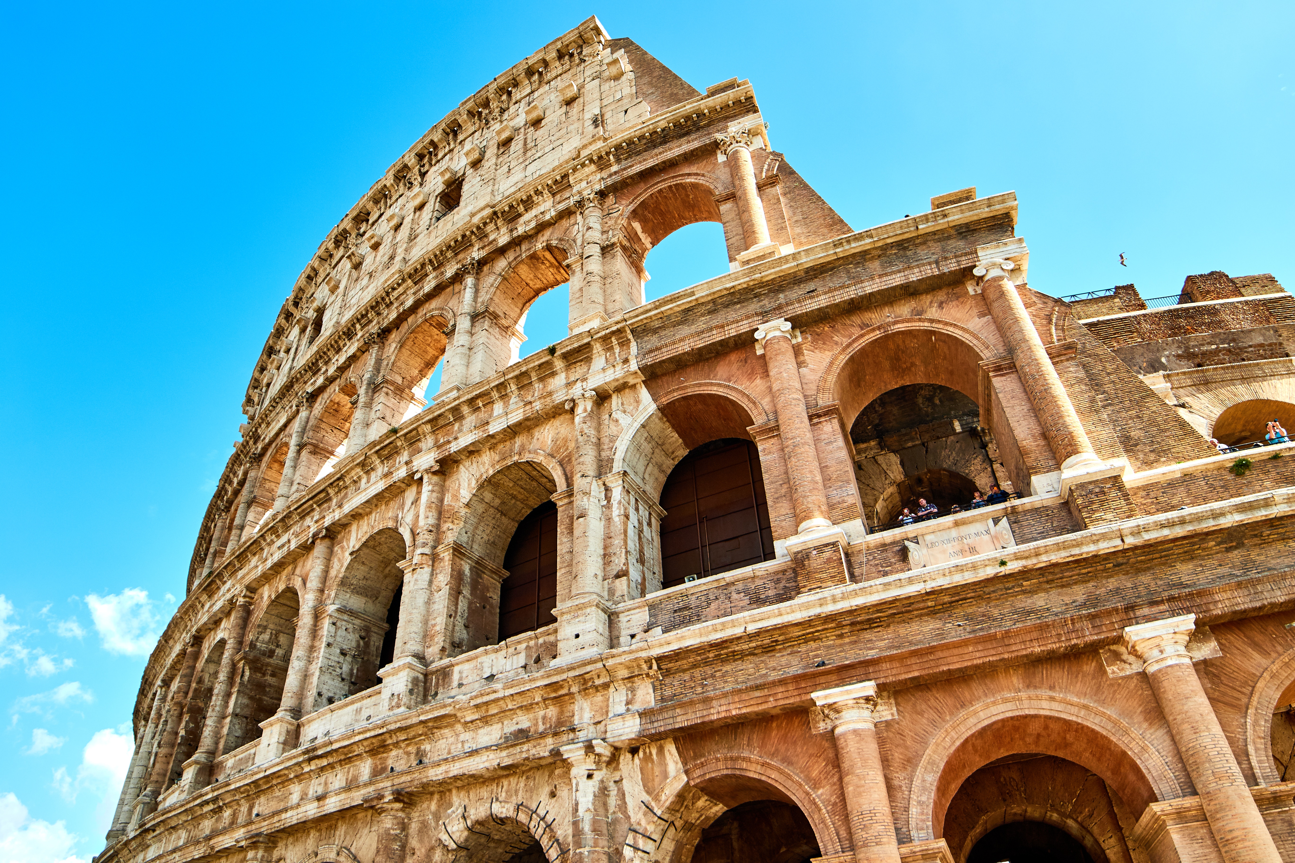
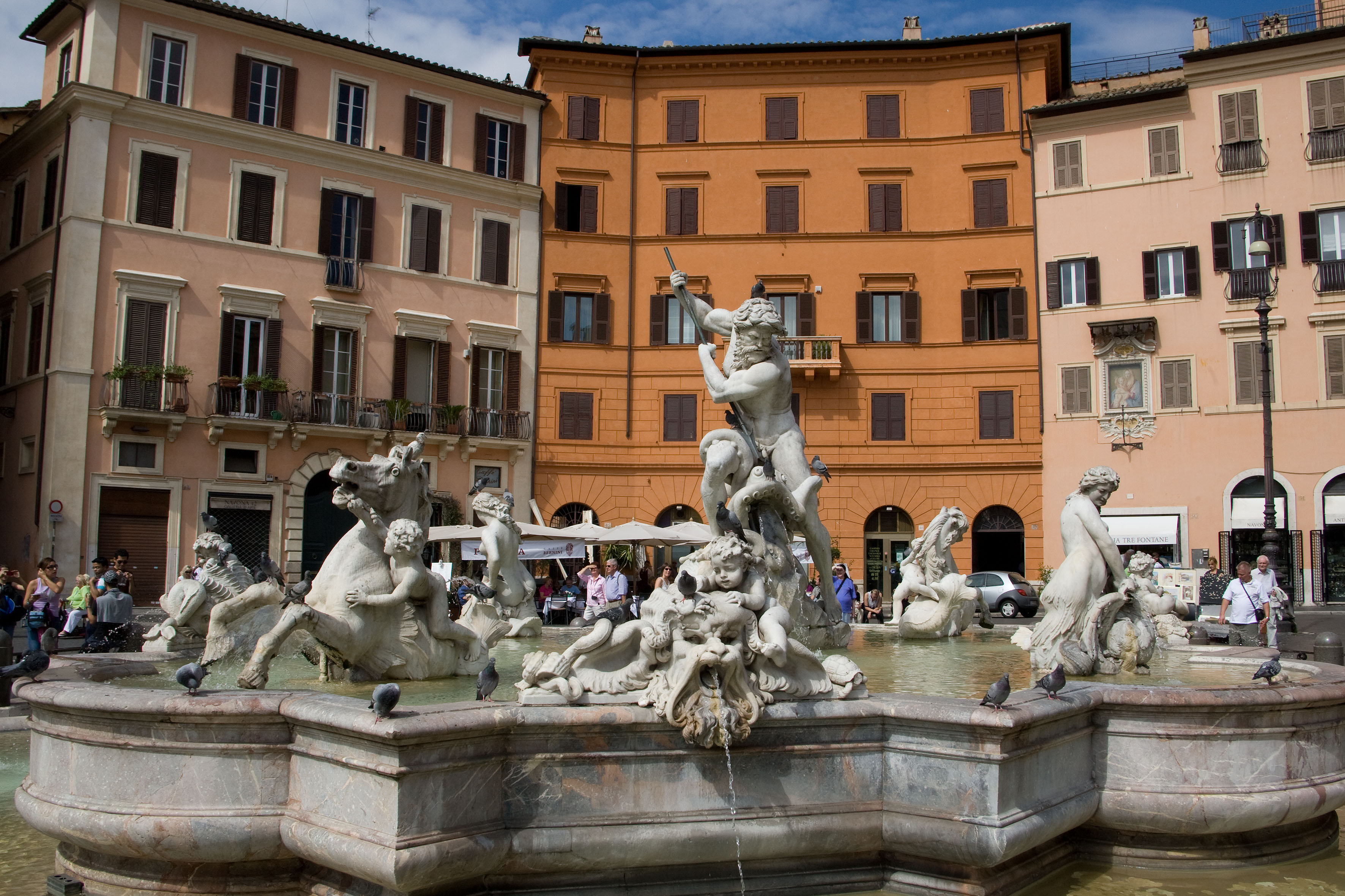
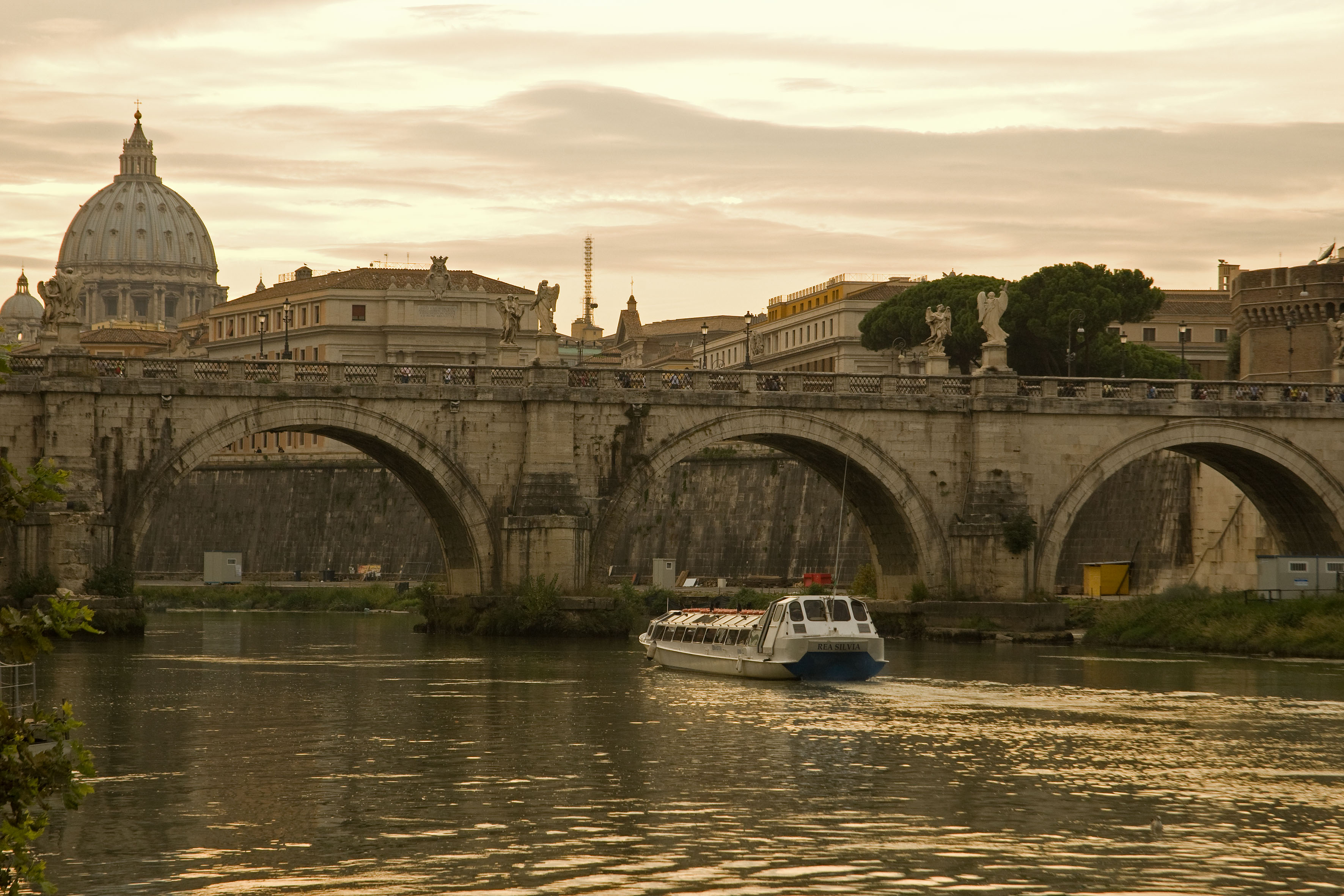
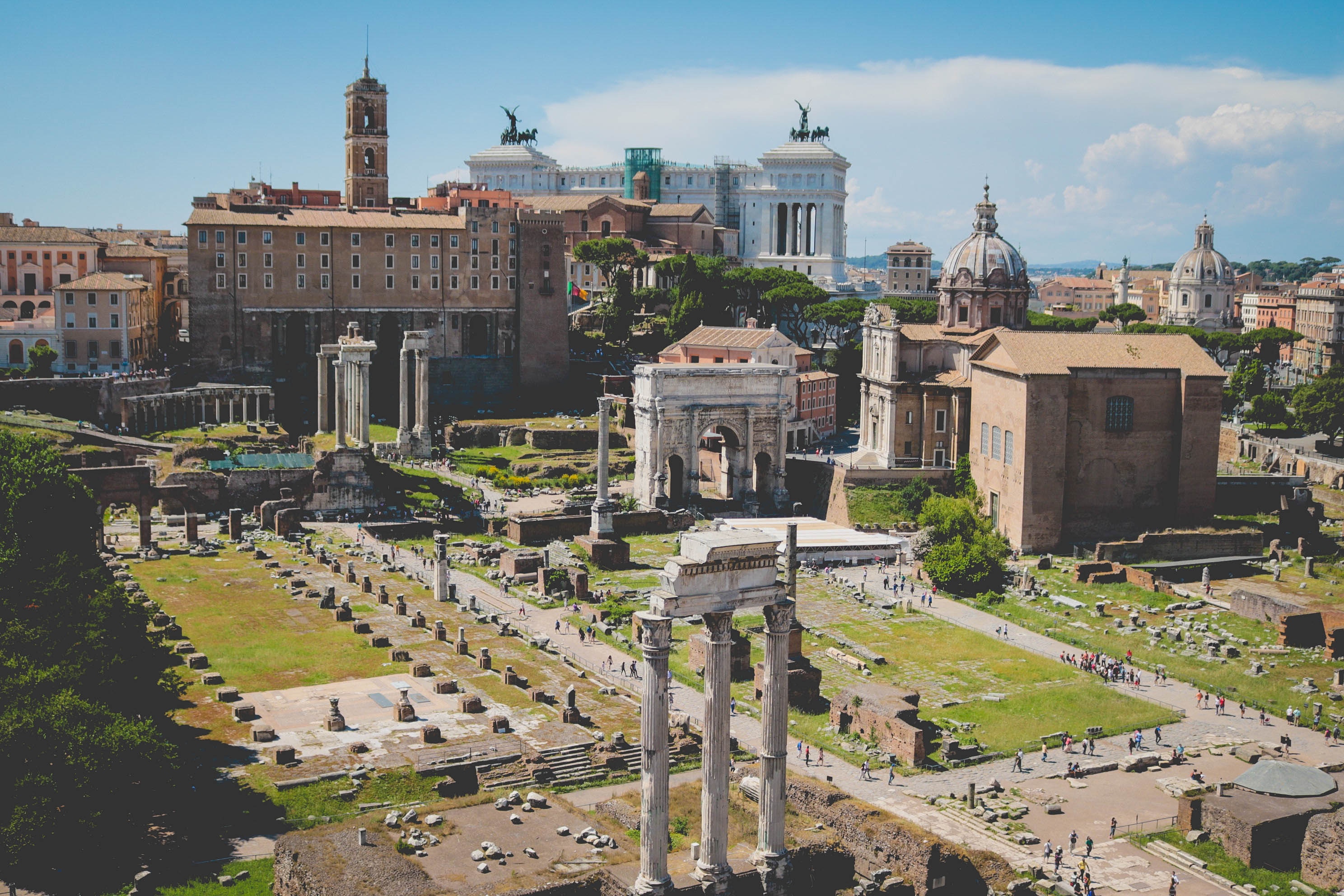
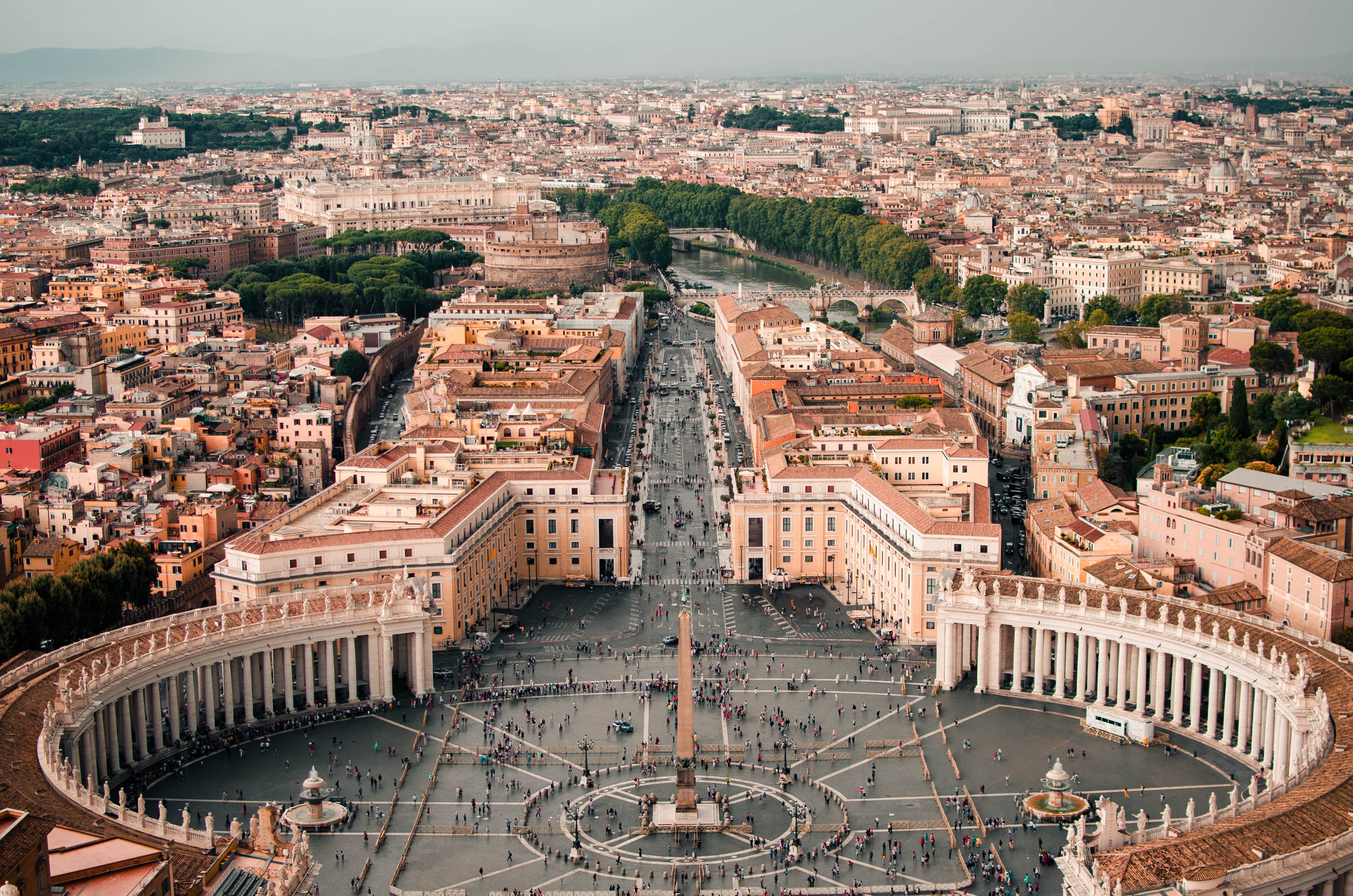
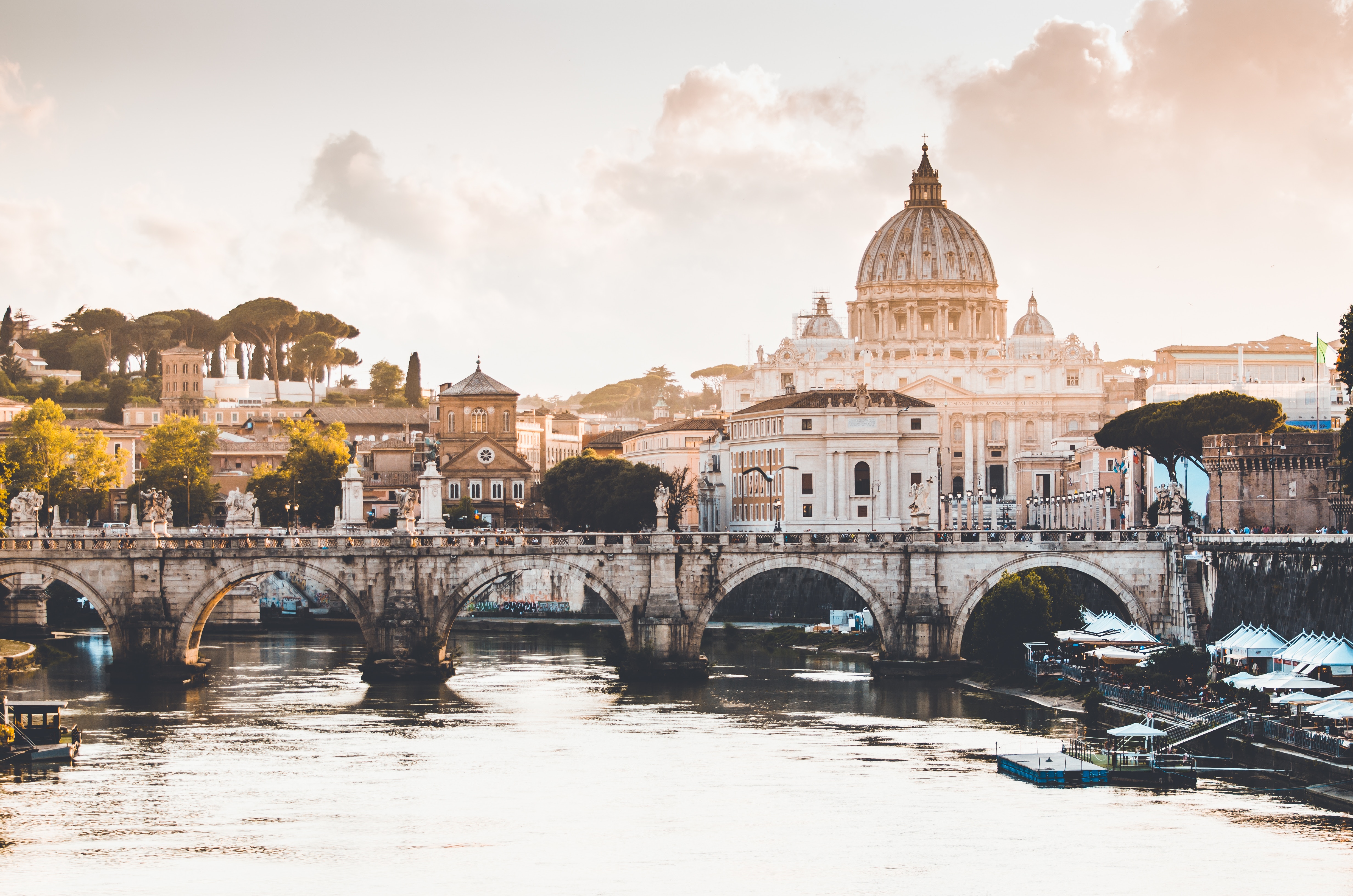
Italy's vibrant capital lives in the present, but no other city on earth evokes its past so powerfully. For over 2,500 years, emperors, popes, artists, and common citizens have left their mark here. Archaeological remains from ancient Rome, art-stuffed churches, and the treasures of Vatican City vie for your attention, but Rome is also a wonderful place to practice the Italian-perfected il dolce far niente, the sweet art of idleness. Your most memorable experiences may include sitting at a caffè in the Campo de' Fiori or strolling in a beguiling piazza.


About Amalfi
At first glance, it's hard to imagine that this resort destination was one of the world's great naval powers, and a sturdy rival of Genoa and Pisa for control of the Mediterranean in the 11th and 12th centuries. Once the seat of the Amalfi Maritime Republic, the town is set in a verdant valley of the Lattari Mountains, with cream-colored and pastel-hued buildings tightly packing a gorge on the Bay of Salerno. The harbor, which once launched the greatest fleet in Italy, now bobs with ferries and blue-and-white fishing boats. The main street, lined with shops and pasticcerie, has replaced a raging mountain torrent, and terraced hills flaunt the green and gold of lemon groves. Bearing testimony to its great trade with Tunis, Tripoli, and Algiers, Amalfi remains honeycombed with Arab-Sicilian cloisters and covered passages. In a way Amalfi has become great again, showing off its medieval glory days with sea pageants, convents-turned-hotels, ancient paper mills, covered streets, and its glimmering cathedral.

About Messina
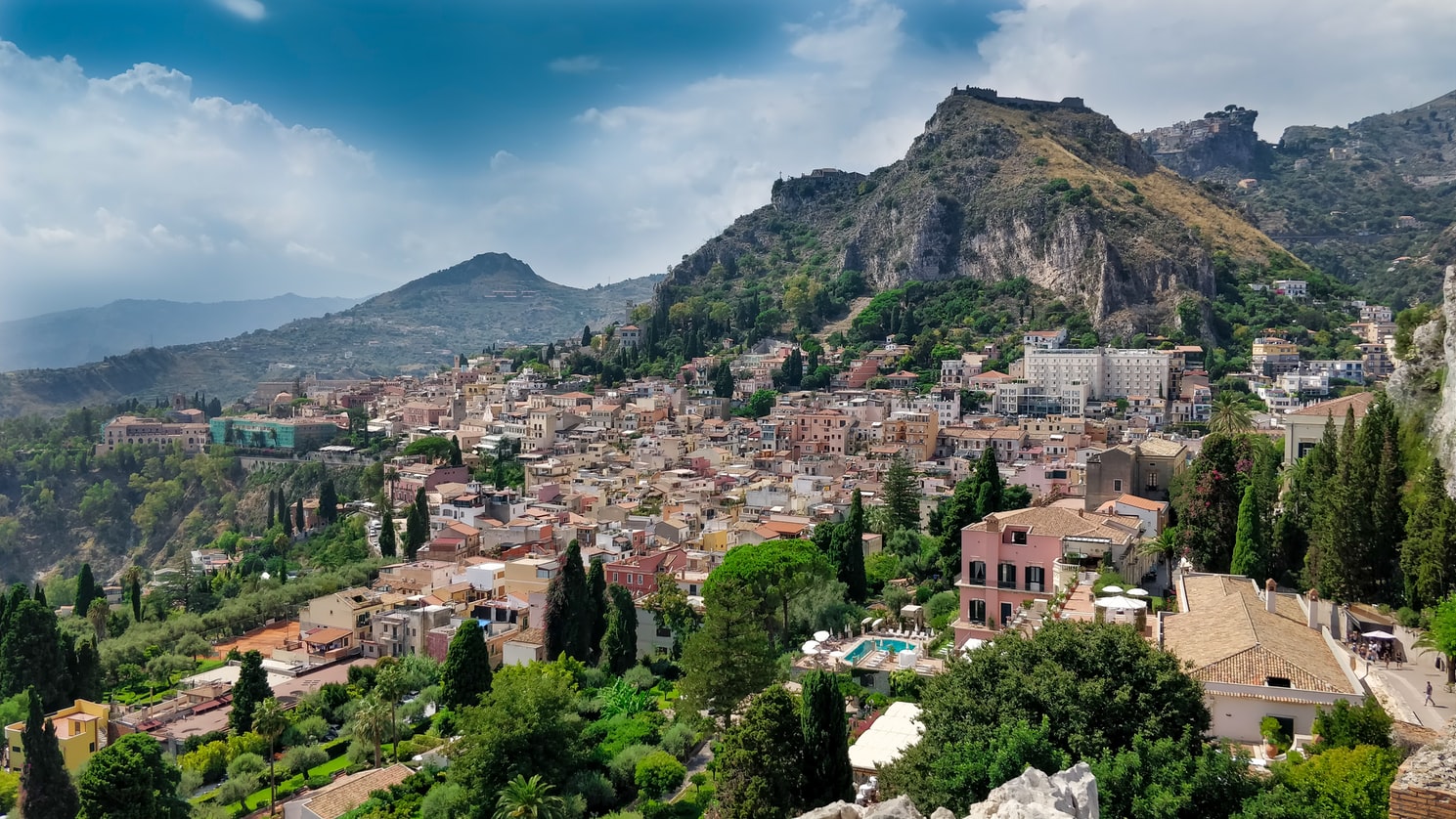
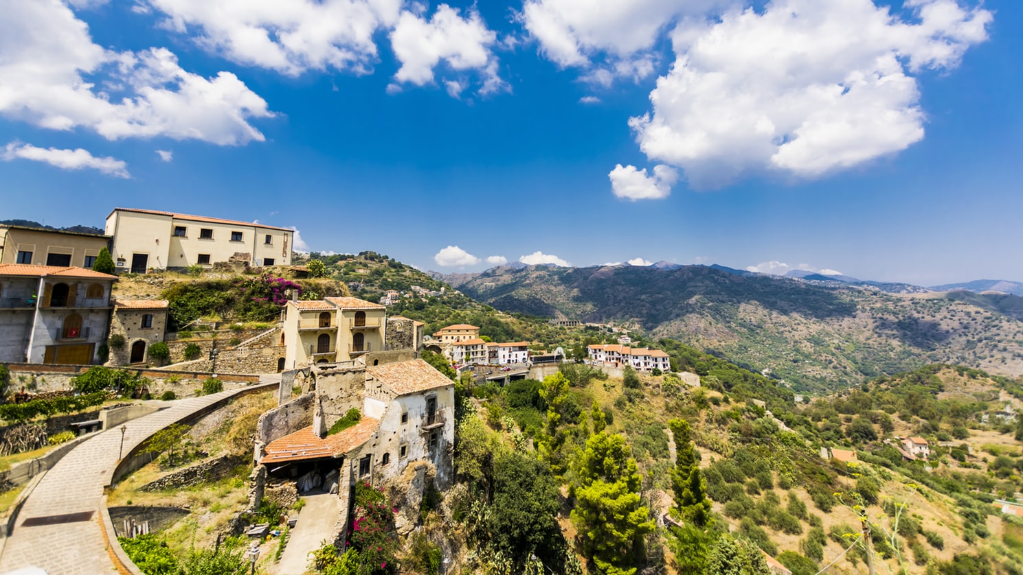
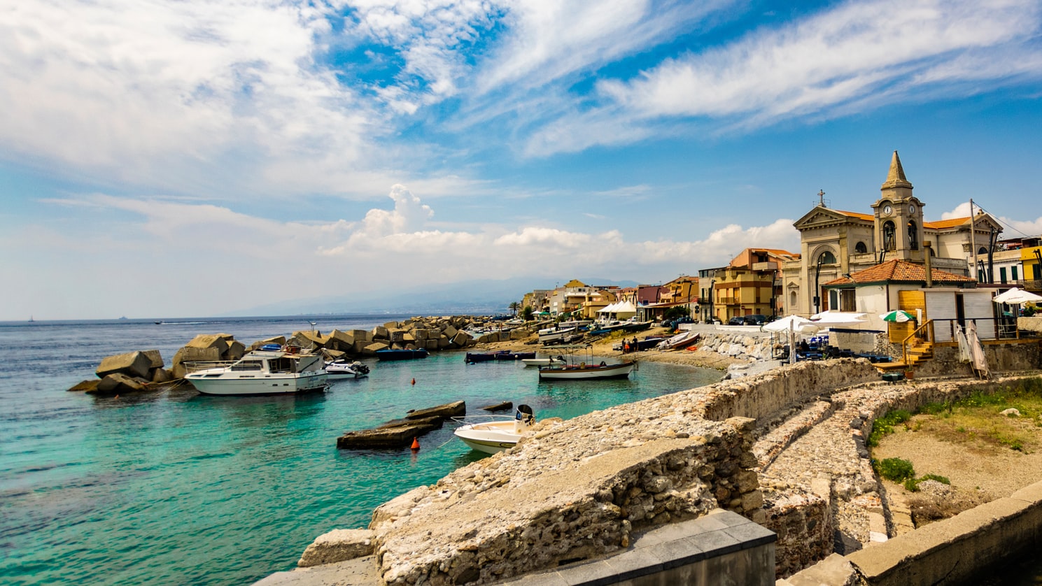
Home to the Museo Regionale of Messina, known for featuring two of Caravaggio's paintings, the city is also famous for having been the capital of the ancient kingdom of Sicily.

About Valletta
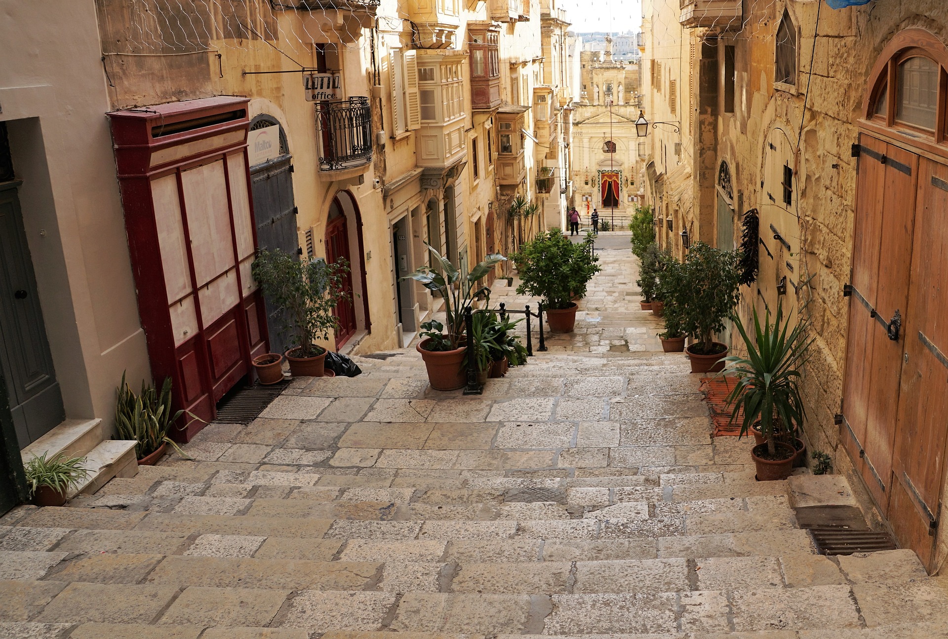
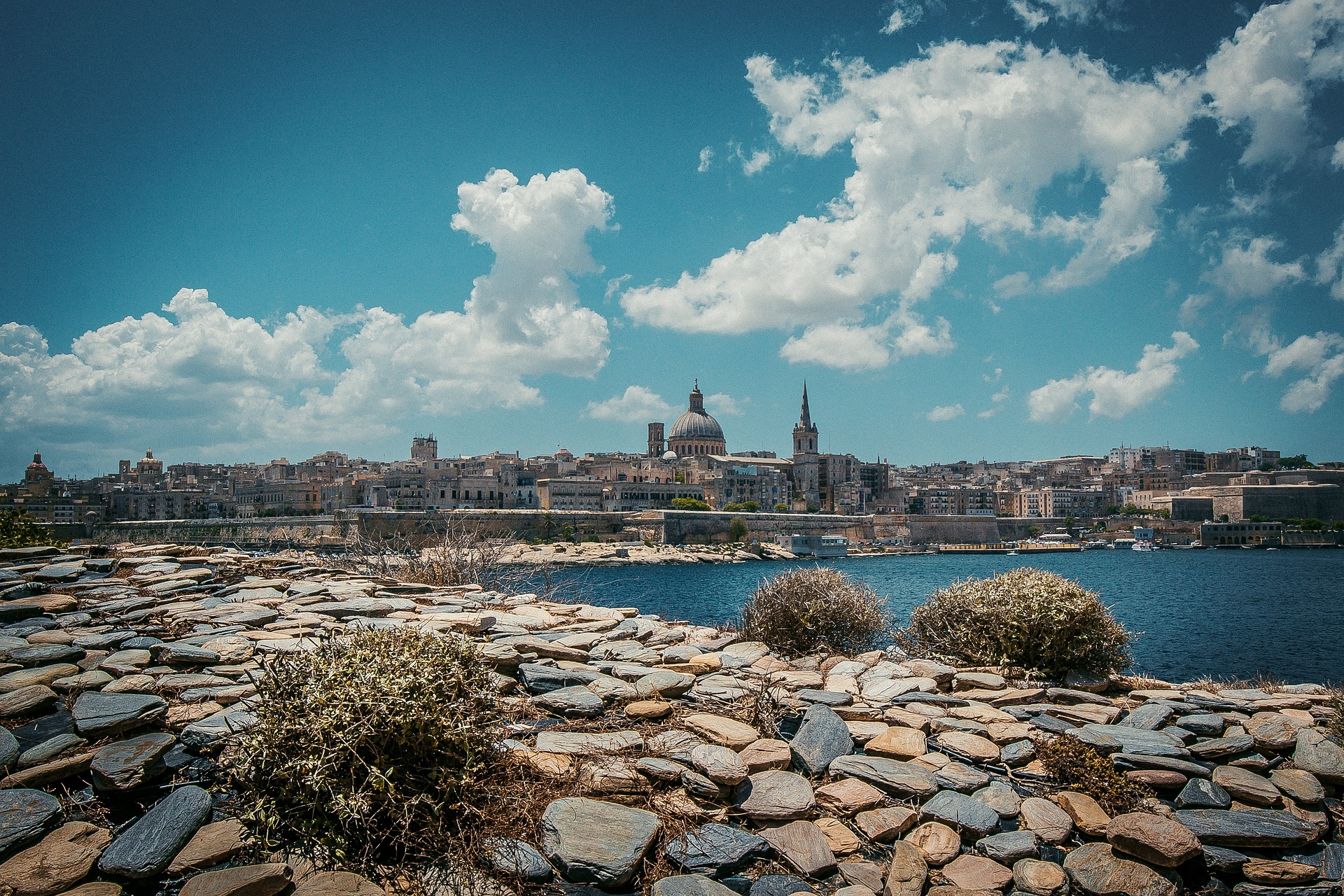
Malta's capital, the minicity of Valletta, has ornate palaces and museums protected by massive fortifications of honey-color limestone. Houses along the narrow streets have overhanging wooden balconies for people-watching from indoors. Generations ago they gave housebound women a window on the world of the street. The main entrance to town is through the City Gate (where all bus routes end), which leads onto Triq Repubblika (Republic Street), the spine of the grid-pattern city and the main shopping street. Triq Mercante (Merchant Street) parallels Repubblika to the east and is also good for strolling. From these two streets, cross streets descend toward the water; some are stepped. Valletta's compactness makes it ideal to explore on foot. City Gate and the upper part of Valletta are experiencing vast redevelopment that includes a new Parliament Building and open-air performance venue. The complex, completed mid-2013, has numerous pedestrian detours in place along with building noise and dust. Before setting out along Republic Street, stop at the tourist information office on Merchant Street for maps and brochures.




About Igoumenítsa
About Corfu
Corfu town today is a vivid tapestry of cultures—a sophisticated weave, where charm, history, and natural beauty blend. Located about midway along the island's east coast, this spectacularly lively capital is the cultural heart of Corfu and has a remarkable historic center that UNESCO designated as a World Heritage Site in 2007. All ships and planes dock or land near Corfu town, which occupies a small peninsula jutting into the Ionian Sea.Whether arriving by ferry from mainland Greece or Italy, from another island, or directly by plane, catch your breath by first relaxing with a coffee or a gelato in Corfu town's shaded Liston Arcade, then stroll the narrow lanes of its pedestrians-only quarter. For an overview of the immediate area, and a quick tour of Mon Repos palace, hop on the little tourist train that runs from May to September. Corfu town has a different feel at night, so book a table at one of its famed tavernas to savor the island's unique cuisine.The best way to get around Corfu town is on foot. The town is small enough so that you can easily walk to every sight. There are local buses, but they do not thread their way into the streets (many now car-free) of the historic center. If you are arriving by ferry or plane, it's best to take a taxi to your hotel. Expect to pay about €10 from the airport or ferry terminal to a hotel in Corfu town. If there are no taxis waiting, you can call for one.


About Kotor
Backed by imposing mountains, tiny Kotor lies hidden from the open sea, tucked into the deepest channel of the Bokor Kotorska (Kotor Bay), which is Europe's most southerly fjord. To many, this town is more charming than its sister UNESCO World Heritage Site, Dubrovnik, retaining more authenticity, but with fewer tourists and spared the war damage and subsequent rebuilding which has given Dubrovnik something of a Disney feel.Kotor's medieval Stari Grad (Old Town) is enclosed within well-preserved defensive walls built between the 9th and 18th centuries and is presided over by a proud hilltop fortress. Within the walls, a labyrinth of winding cobbled streets leads through a series of splendid paved piazzas, rimmed by centuries-old stone buildings. The squares are now haunted by strains from buskers but although many now house trendy cafés and chic boutiques, directions are still given medieval-style by reference to the town’s landmark churches.In the Middle Ages, as Serbia's chief port, Kotor was an important economic and cultural center with its own highly regarded schools of stonemasonry and iconography. From 1391 to 1420 it was an independent city-republic and later, it spent periods under Venetian, Austrian, and French rule, though it was undoubtedly the Venetians who left the strongest impression on the city's architecture. Since the breakup of Yugoslavia, some 70% of the stone buildings in the romantic Old Town have been snapped up by foreigners, mostly Brits and Russians. Porto Montenegro, a new marina designed to accommodate some of the world’s largest super yachts, opened in nearby Tivat in 2011, and along the bay are other charming seaside villages, all with better views of the bay than the vista from Kotor itself where the waterside is congested with cruise ships and yachts. Try sleepy Muo or the settlement of Prčanj in one direction around the bay, or Perast and the Roman mosaics of Risan in the other direction.


About Rijeka
Water is the essence of Kvarner, and the region's largest city expresses this simply. Whether in Croatian or Italian (Fiume) the translation of the name to English is the same: river. Although the history of Croatia's third city goes back to the days of Imperial Rome, modern Rijeka evolved under the rule of Austria-Hungary. The historic core retains vestiges of the old Habsburg monarchy from the time when Rijeka served as the empire's outlet to the Adriatic. During the 1960s, under Yugoslavia, the suburbs expanded rapidly. Rijeka is the country's largest port, with a huge shipyard, massive dry-dock facilities, refineries, and other heavy industries offering large-scale employment. Since the breakup of Yugoslavia, however, Rijeka's role as a shipping town has declined significantly. Much business shifted north to the smaller Slovene ports during the crippling wars of the 1990s, and although some has returned, the volume remains less than half that seen in 1980.


About Trieste
Up until the end of World War I, Trieste was the only port of the vast Austro-Hungarian Empire and therefore a major industrial and financial center. In the early years of the 20th century, Trieste and its surroundings also became famous by their association with some of the most important names of Italian literature, such as Italo Svevo, and English and German letters. James Joyce drew inspiration from the city's multiethnic population, and Rainer Maria Rilke was inspired by the seacoast west of the city. Although it has lost its importance as a port and a center of finance, it has never fully lost its roll as an intellectual center. The streets hold a mix of monumental, neoclassical, and art-nouveau architecture built by the Austrians during Trieste's days of glory, granting an air of melancholy stateliness to a city that lives as much in the past as the present.


