The Colors Of Carnival
The Colors Of Carnival
Cruise overview
WHY BOOK WITH US?
- ✔ The Deluxe Cruises’ team has extensive experience in ultra-luxury cruising.
- ✔ Call now to speak to our helpful and experienced Cruise Concierge team.
- ✔ Enjoy our Unique Deluxe Cruises Bonus for substantial savings.
- ✔ Our team will tailor your holiday to your exacting requirements.
- ✔ As agents, we work under the protection of each cruise lines ABTA / ATOL licences
About Buenos Aires
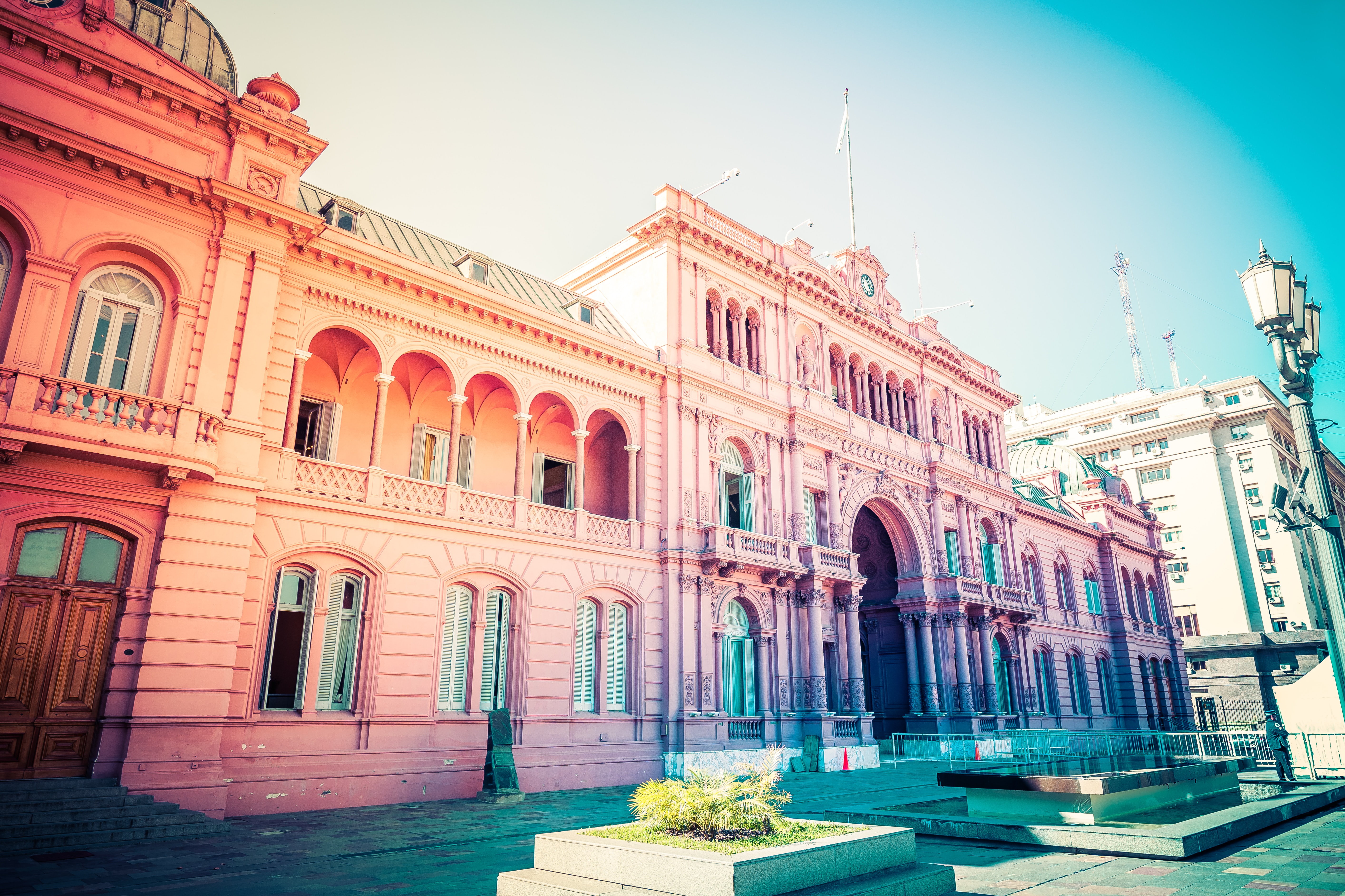
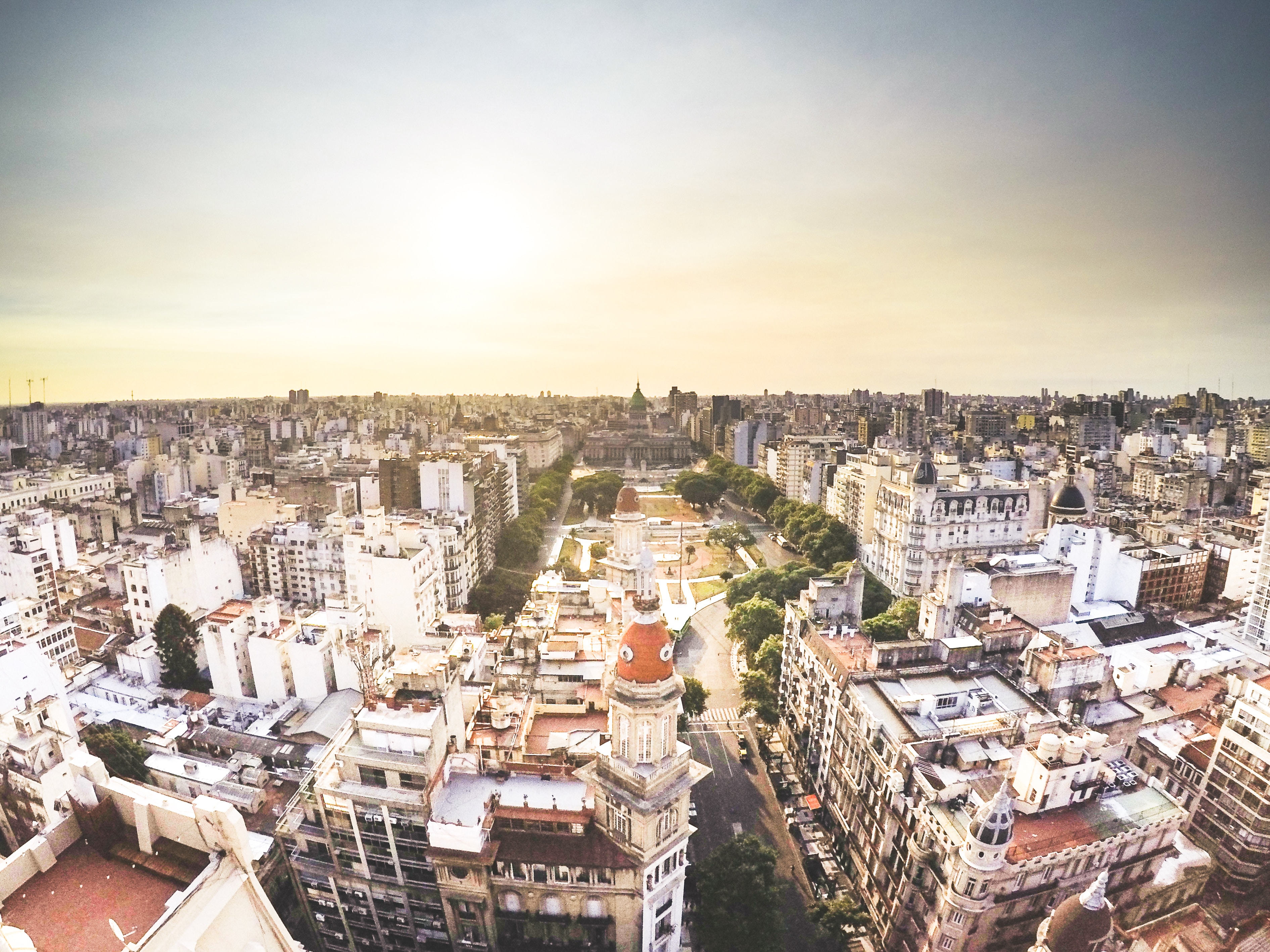
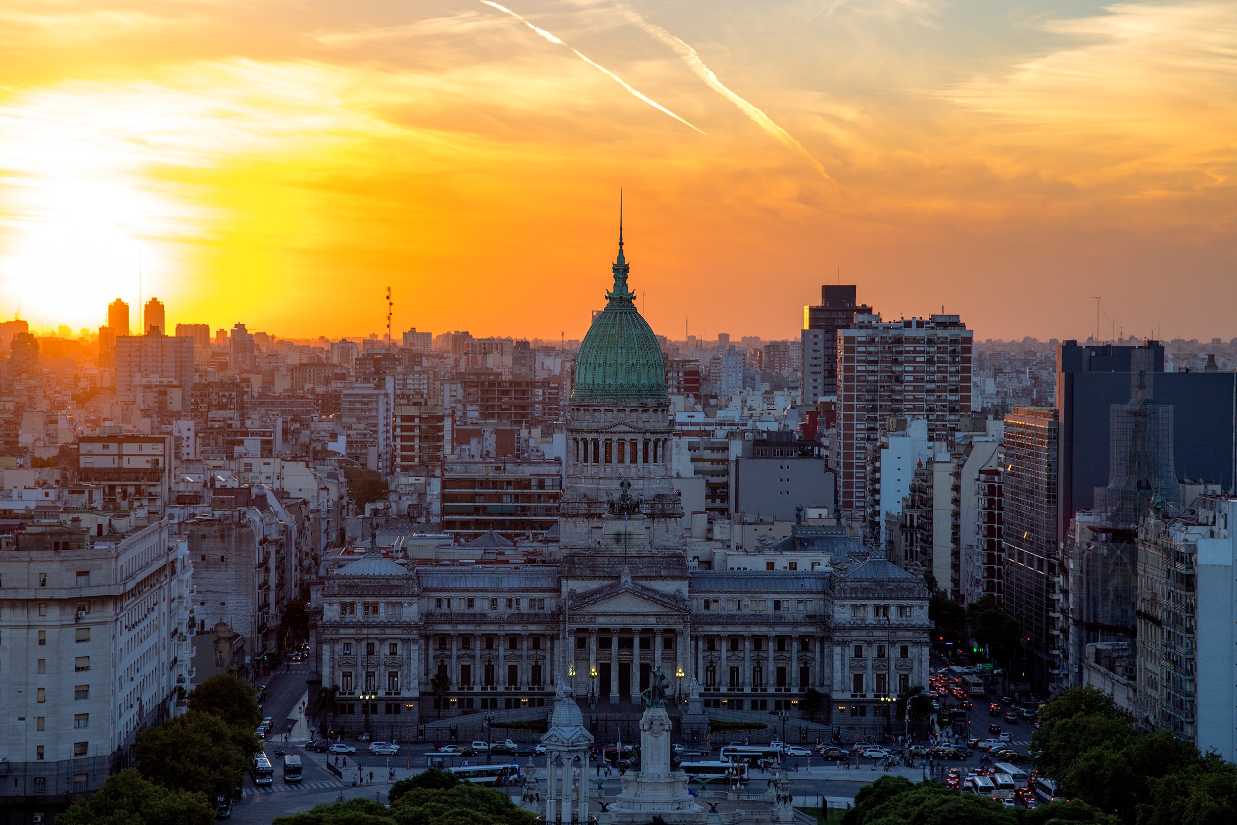
Glamorous and gritty, Buenos Aires is two cities in one. What makes Argentina's capital so fascinating is its dual heritage—part European, part Latin American. Plaza de Mayo resembles a grand square in Madrid, and the ornate Teatro Colón would not be out of place in Vienna. But you’ll know you’re in South America by the leather shoes for sale on cobbled streets and impromptu parades of triumphant soccer fans. Limited-production wines, juicy steaks, and ice cream in countless flavors are among the old-world imports the city has perfected.
About Punta del Este
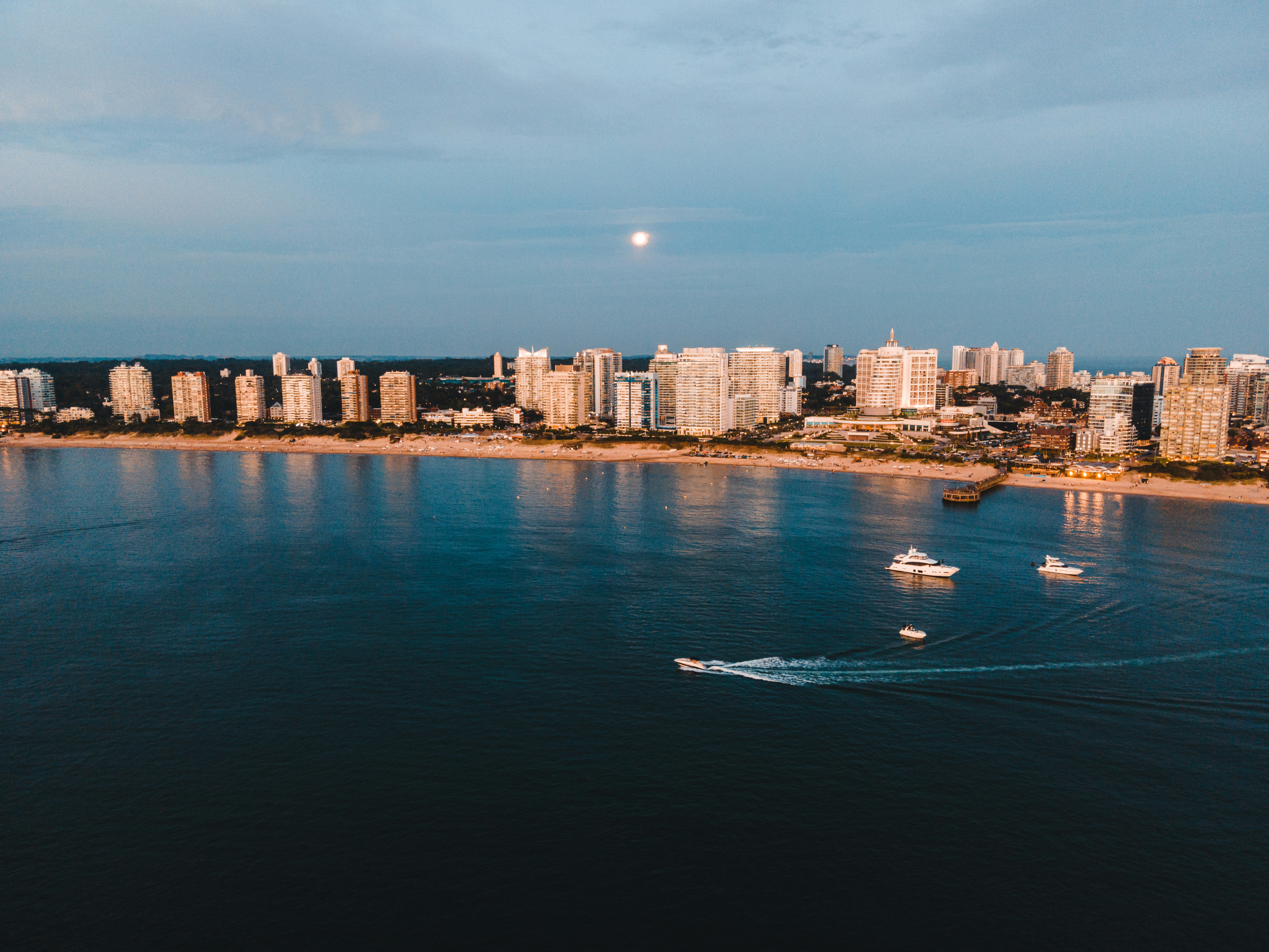
Often likened to the Hamptons or St-Tropez, Punta del Este is a flashy destination where parties run nonstop in peak season. But it is also a destination that draws a range of beachgoers to its shores, from summering families to the celebrity jet-set. There's a bustling city on the beach downtown, as well as quiet countryside populated solely with upscale ranches called chacras or estancias, and creative, buzzing hamlets like La Barra and José Ignacio. Though it's pricey and at times a logistical challenge to get around, everyone finds something about Punta to love.The resort takes its name from the "east point" marking the division of the Río de la Plata on the west from the Atlantic Ocean to the east. It also lends its name to the broader region encompassing the nearby communities of Punta Ballena and La Barra de Maldonado. These days even José Ignacio, some 20 miles away, is grouped in. It's usually a given that Argentina’s upper class spends at least part of the summer in Punta, soaking in the ample rays.
About Rio Grande
About Porto Belo
About Santos
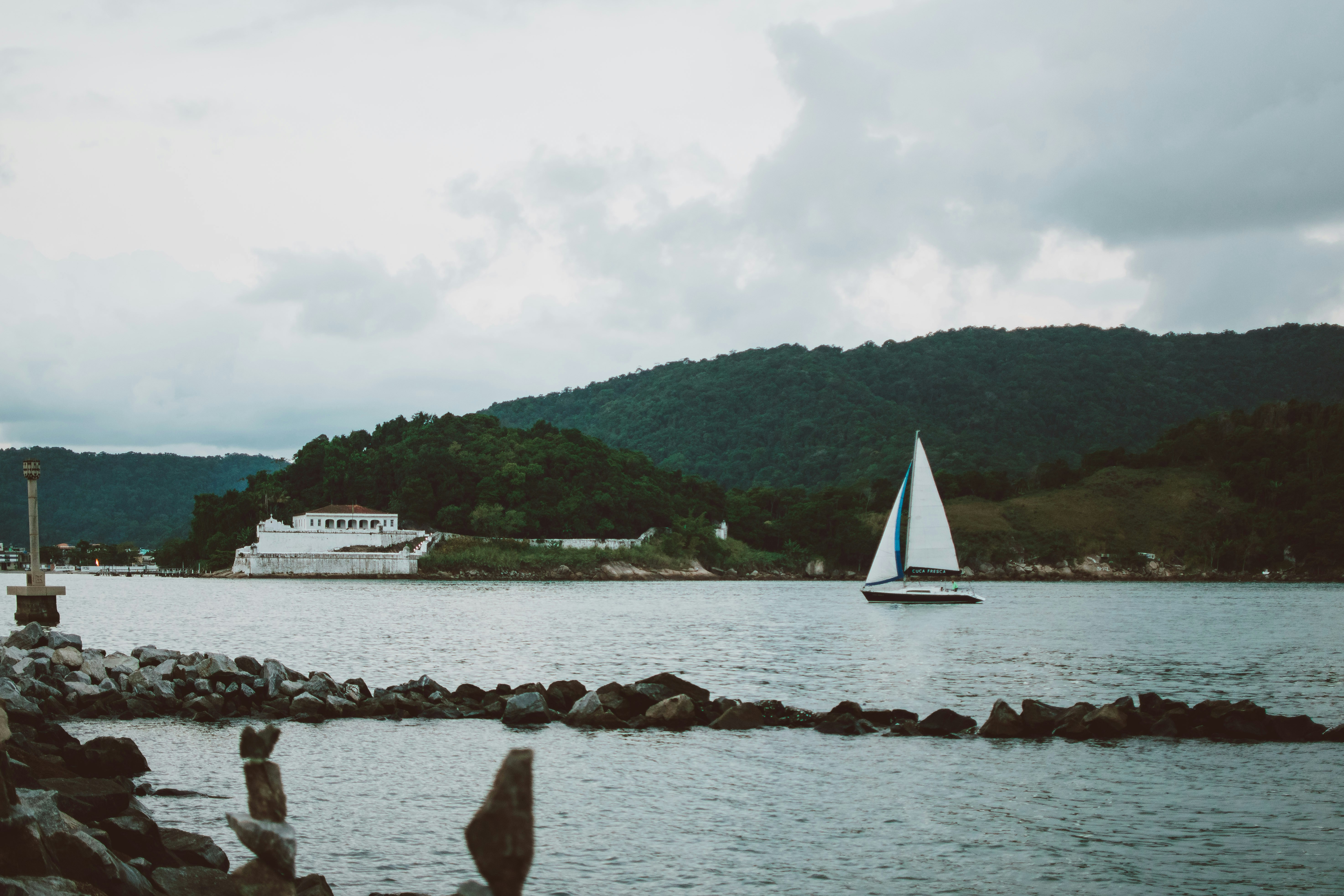
About Ilha Grande
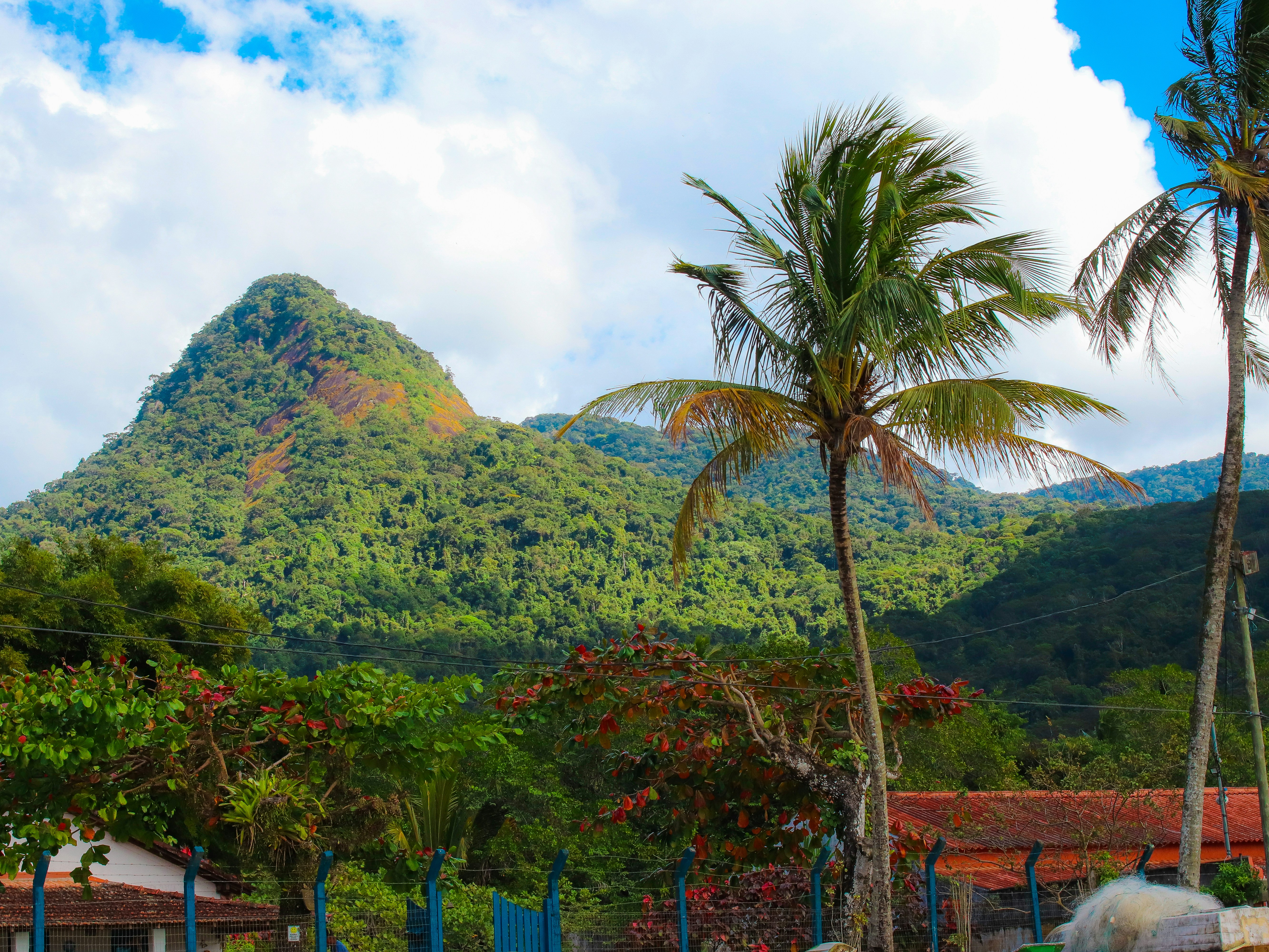
About Rio de Janeiro
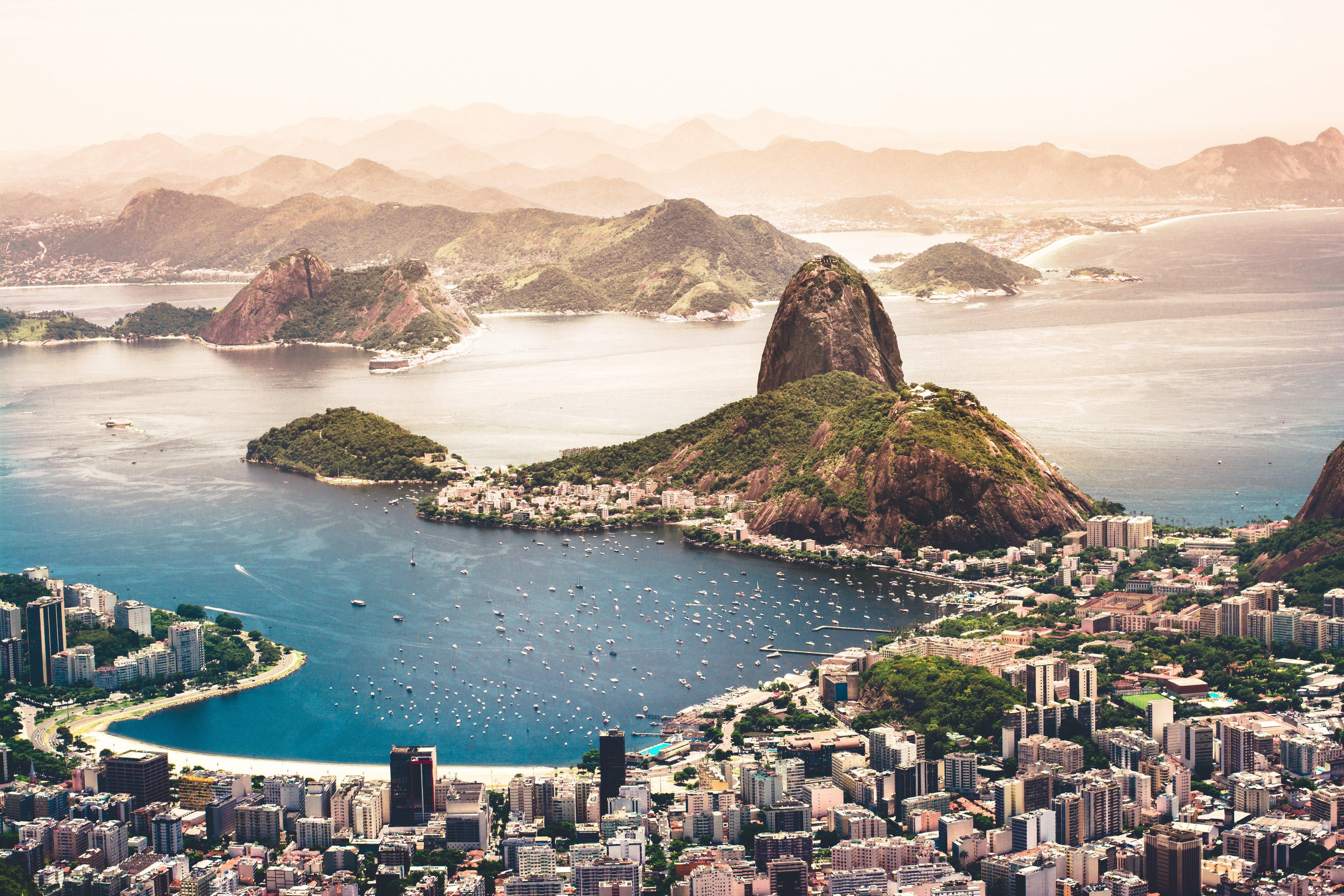
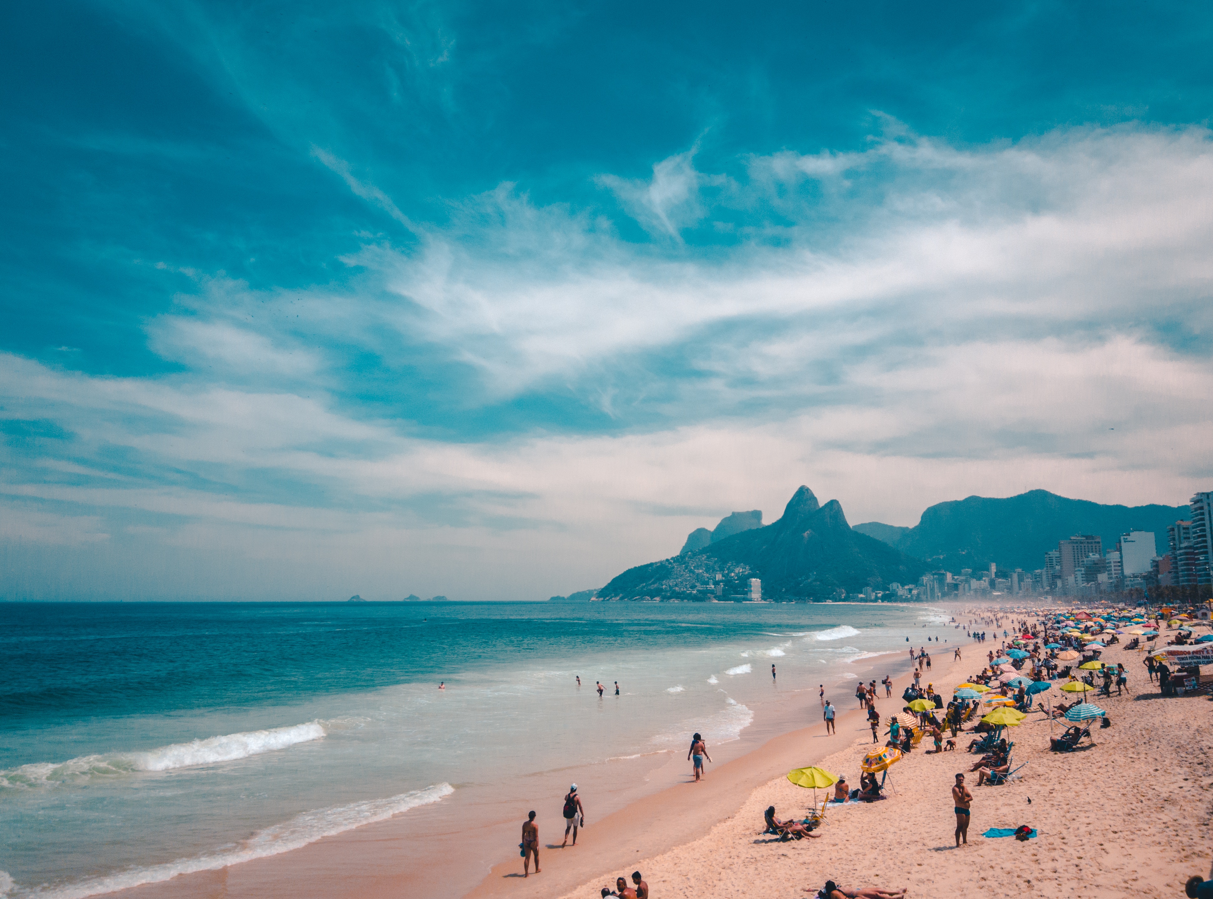
Welcome to the Cidade Maravilhosa, or the Marvelous City, as Rio is known in Brazil. Synonymous with the girl from Ipanema, the dramatic views from Christ the Redeemer atop Corcovado mountain, and fabulously flamboyant Carnival celebrations, Rio is a city of stunning architecture, abundant museums, and marvelous food. Rio is also home to 23 beaches, an almost continuous 73-km (45-mile) ribbon of sand.As you leave the airport and head to Rio's beautiful Zona Sul (the touristic South Zone), you'll drive for about 40 minutes on a highway from where you'll begin to get a sense of the dramatic contrast between beautiful landscape and devastating poverty. In this teeming metropolis of 12 million people (6.2 million of whom live in Rio proper), the very rich and the very poor live in uneasy proximity. You'll drive past seemingly endless cinder-block favela, but by the time you reach Copacabana's breezy, sunny Avenida Atlântica—flanked on one side by white beach and azure sea and on the other by condominiums and hotels—your heart will leap with expectation as you begin to recognize the postcard-famous sights. Now you're truly in Rio, where cariocas (Rio residents) and tourists live life to its fullest.Enthusiasm is contagious in Rio. Prepare to have your senses engaged and your inhibitions untied. Rio seduces with a host of images: the joyous bustle of vendors at Sunday's Feira Hippie (Hippie Fair); the tipsy babble at sidewalk cafés as patrons sip their last glass of icy beer under the stars; the blanket of lights beneath the Pão de Açúcar (Sugarloaf Mountain); the bikers, joggers, strollers, and power walkers who parade along the beach each morning. Borrow the carioca spirit for your stay; you may find yourself reluctant to give it back.

About Buzios
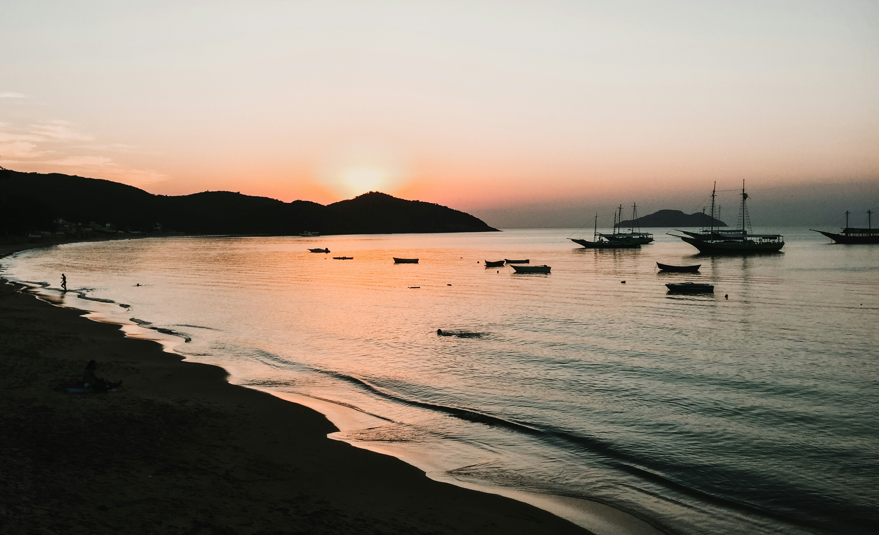
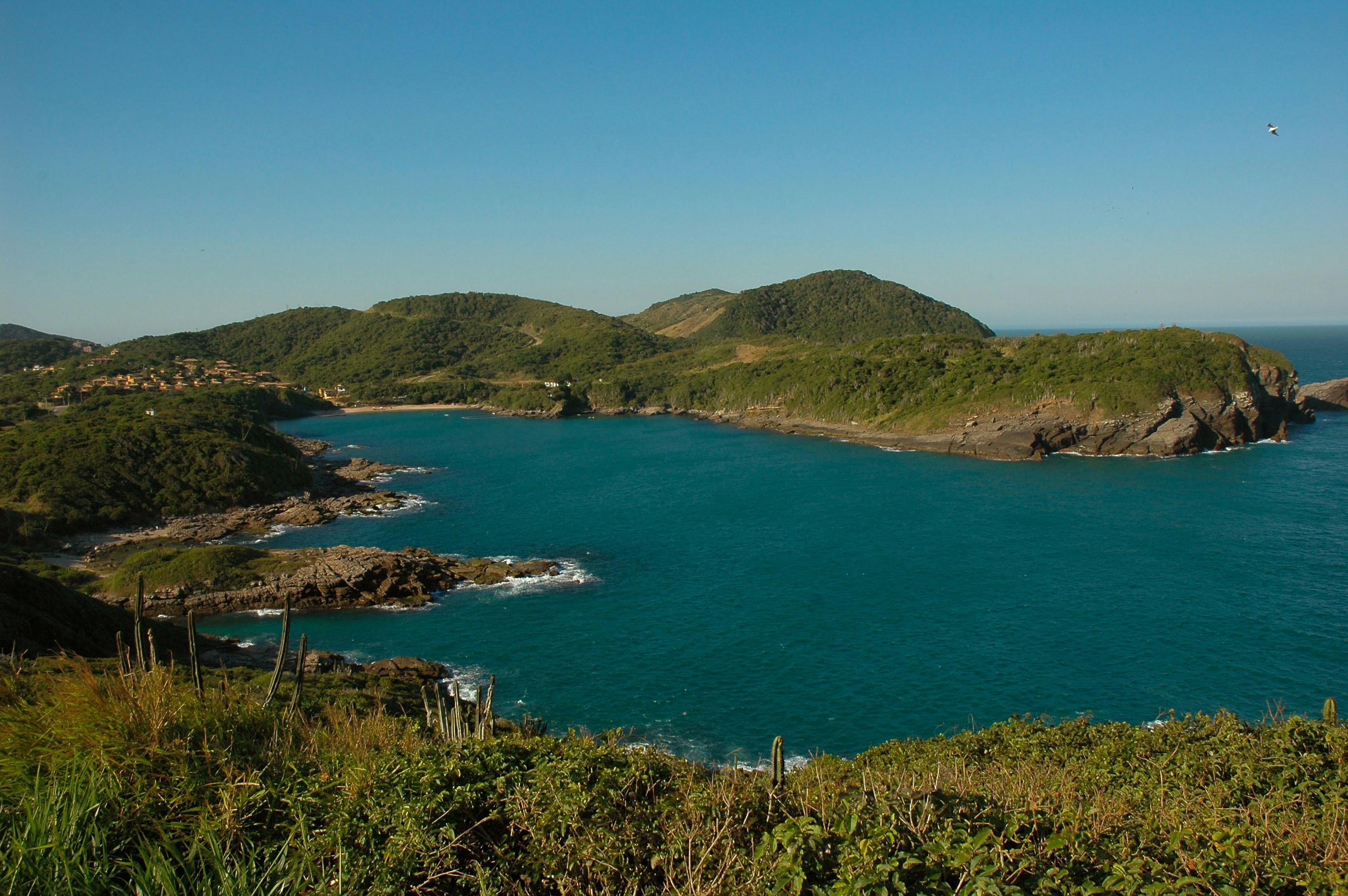
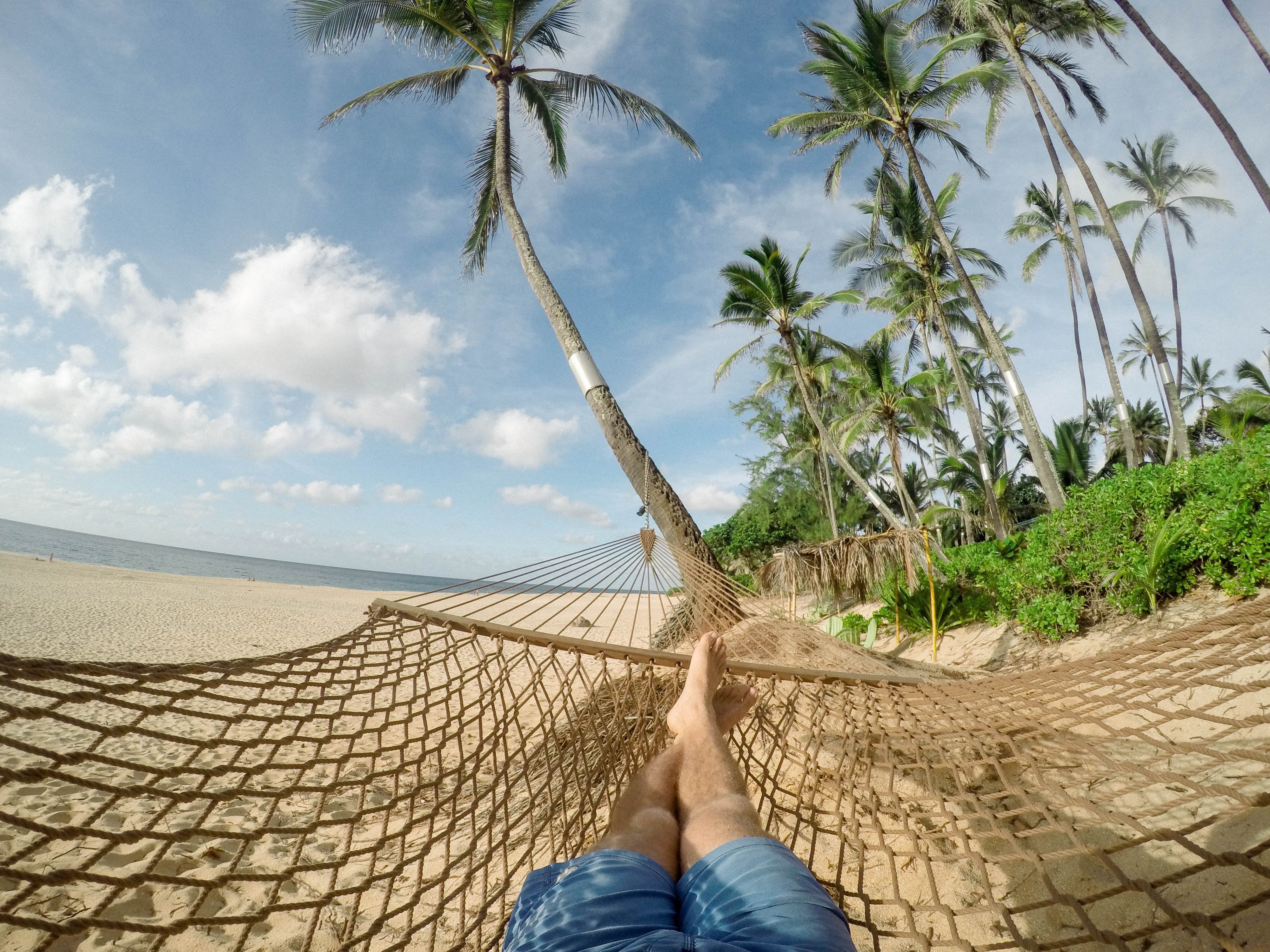
Around two hours from Rio de Janeiro, Búzios is a string of beautiful beaches on an 8-km-long (5-mile-long) peninsula. It was the quintessential sleepy fishing village until the 1960s, when the French actress Brigitte Bardot holidayed here to escape the paparazzi and the place almost instantly transformed into a vacation sensation. Búzios has something for everyone. Some hotels cater specifically to families and provide plenty of activities and around-the-clock child care. Many have spa facilities, and some specialize in weeklong retreats. For outdoor enthusiasts, Búzios offers surfing, windsurfing, kitesurfing, diving, hiking, and mountain biking, as well as leisurely rounds of golf.
About Salvador de Bahia
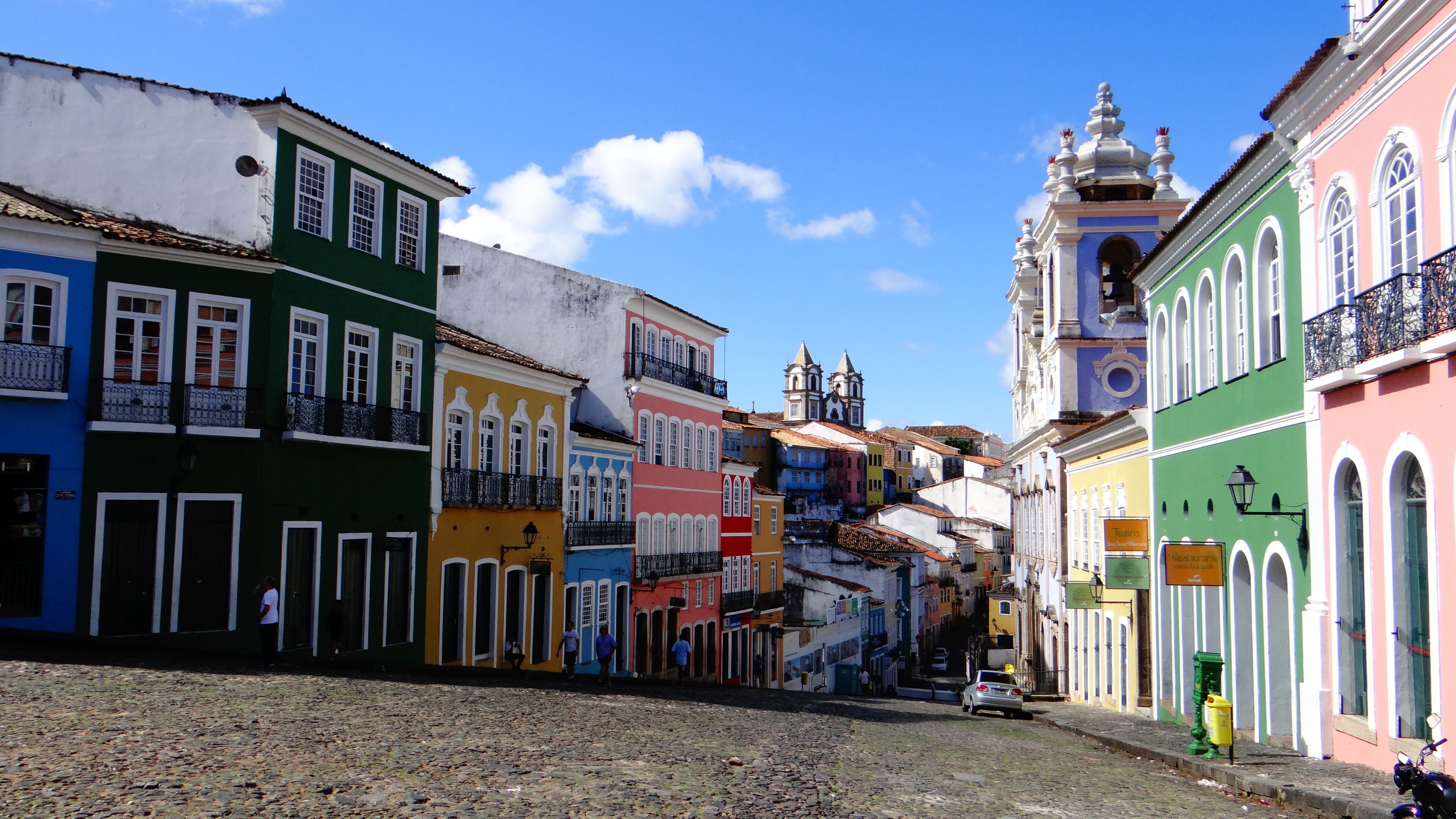
According to Salvador's adopted son Jorge Amado, "In Salvador, magic becomes part of the every-day." From the shimmering golden light of sunset over the Baía do Todos os Santos, to the rhythmic beats that race along the streets, Salvador, while no longer Brazil's capital, remains one of its most captivating cities. A large dose of its exoticism comes down to its African heritage—at least 70% of its 2,675,000 population is classified as Afro-Brazilian—and how it has blended into Brazil's different strands, from the native Indians to the Christian colonizers. Salvadorans may tell you that you can visit a different church every day of the year, which is almost true—the city has about 300. Churches whose interiors are covered with gold leaf were financed by the riches of the Portuguese colonial era, when slaves masked their traditional religious beliefs under a thin Catholic veneer. And partly thanks to modern-day acceptance of those beliefs, Salvador has become the fount of Candomblé, a religion based on personal dialogue with the orixás, a family of African deities closely linked to nature and the Catholic saints. The influence of Salvador's African heritage on Brazilian music has also turned the city into one of the musical capitals of Brazil, resulting in a myriad of venues to enjoy live music across the city, along with international acclaim for exponents like Gilberto Gil, Caetano Veloso, and Daniela Mercury. Salvador's economy today is focused on telecommunications and tourism. The still-prevalent African culture draws many tourists—this is the best place in Brazil to hear African music, learn or watch African dance, and see capoeira, a martial art developed by slaves. In the district of Pelourinho, many colorful 18th- and 19th-century houses remain, part of the reason why this is the center of the tourist trade. Salvador sprawls across a peninsula surrounded by the Baía de Todos os Santos on one side and the Atlantic Ocean on the other. The city has about 50 km (31 miles) of coastline. The original city, referred to as the Centro Histórica (Historical Center), is divided into the Cidade Alta (Upper City), also called Pelourinho, and Cidade Baixa (Lower City). The Cidade Baixa is a commercial area—known as Comércio—that runs along the port and is the site of Salvador's indoor market, Mercado Modelo. You can move between the upper and lower cities on foot, via the landmark Elevador Lacerda, behind the market, or on the Plano Inclinado, a funicular lift, which connects Rua Guindaste dos Padres on Comércio with the alley behind Cathedral Basílica. From the Cidade Histórica you can travel north along the bay to the hilltop Igreja de Nosso Senhor do Bonfim. You can also head south to the point, guarded by the Forte Santo Antônio da Barra, where the bay waters meet those of the Atlantic. This area on Salvador's southern tip is home to the trendy neighborhoods of Barra, Ondina, and Rio Vermelho, with many museums, theaters, shops, and restaurants. Beaches along the Atlantic coast and north of Forte Santo Antônio da Barra are among the city's cleanest. Many are illuminated at night and have bars and restaurants that stay open late.


About Maceió
Maceió, city, capital of Alagoas estado (state), northeastern Brazil. It is situated below low bluffs on a level strip of land between the Atlantic Ocean and the Norte (or Mundaú) Lagoon, a shallow body of water extending inward for several miles. Formerly called Macayo, the city dates from 1815, when a small settlement there was made a villa. In 1839 it became capital of Alagoas (then a provincia) and was given city status.
About Recife
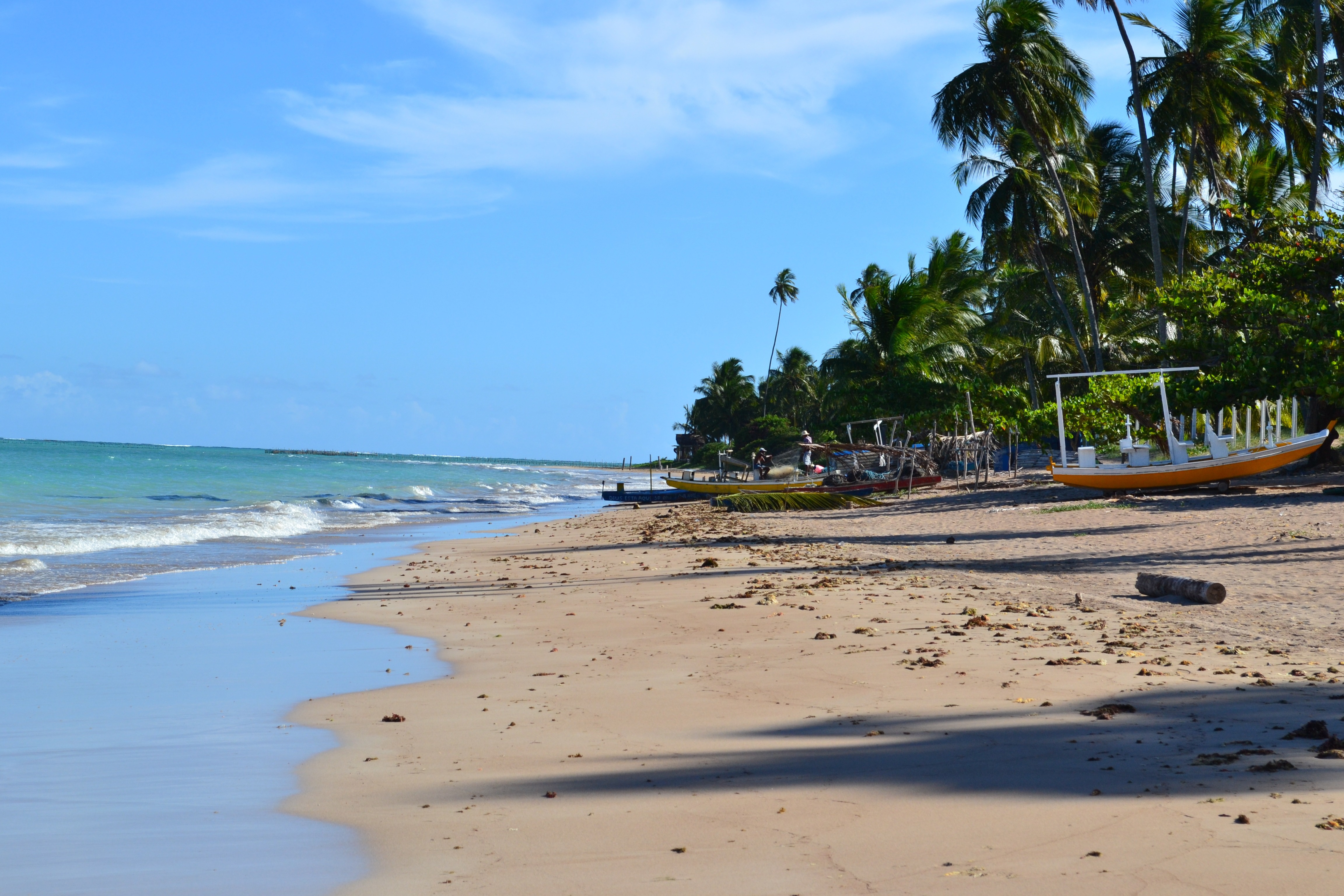
This vibrant metropolis has a spirit that's halfway between that of the modern cities of Brazil's South and of the traditional northeastern centers. It offers both insight on the past and a window to the future.It was in Pernambuco State, formerly a captaincy, that the most violent battles between the Dutch and the Portuguese took place. Under the Portuguese, the capital city was the nearby community of Olinda. But beginning in 1637 and during the Dutch turn at the reins (under the powerful count Maurício de Nassau), both Olinda and Recife were greatly developed.The city has beautiful buildings alongside the rivers that remind many visitors of Europe. Unfortunately, huge swathes of 19th-century buildings were razed to make way for modern structures. As a result, the center of the city has pockets of neocolonial splendor surrounded by gap-toothed modern giants. Today Recife is a leader in health care and has benefited from significant government investment in recent years, resulting in a boom in infrastructure and construction industries. It's also Brazil's third-largest gastronomic center—it's almost impossible to get a bad meal here.Recife is built around three rivers and connected by 49 bridges. Its name comes from the recifes (reefs) that line the coast. Because of this unique location, water and light often lend the city interesting textures. In the morning, when the tide recedes from Boa Viagem Beach, the rocks of the reefs slowly reappear. Pools of water are formed, fish flap around beachgoers, and the rock formations dry into odd colors. And if the light is just right on the Rio Capibaribe, the ancient buildings of Recife Antigo (Old Recife) are reflected off the river's surface in a watercolor display.
About Belem
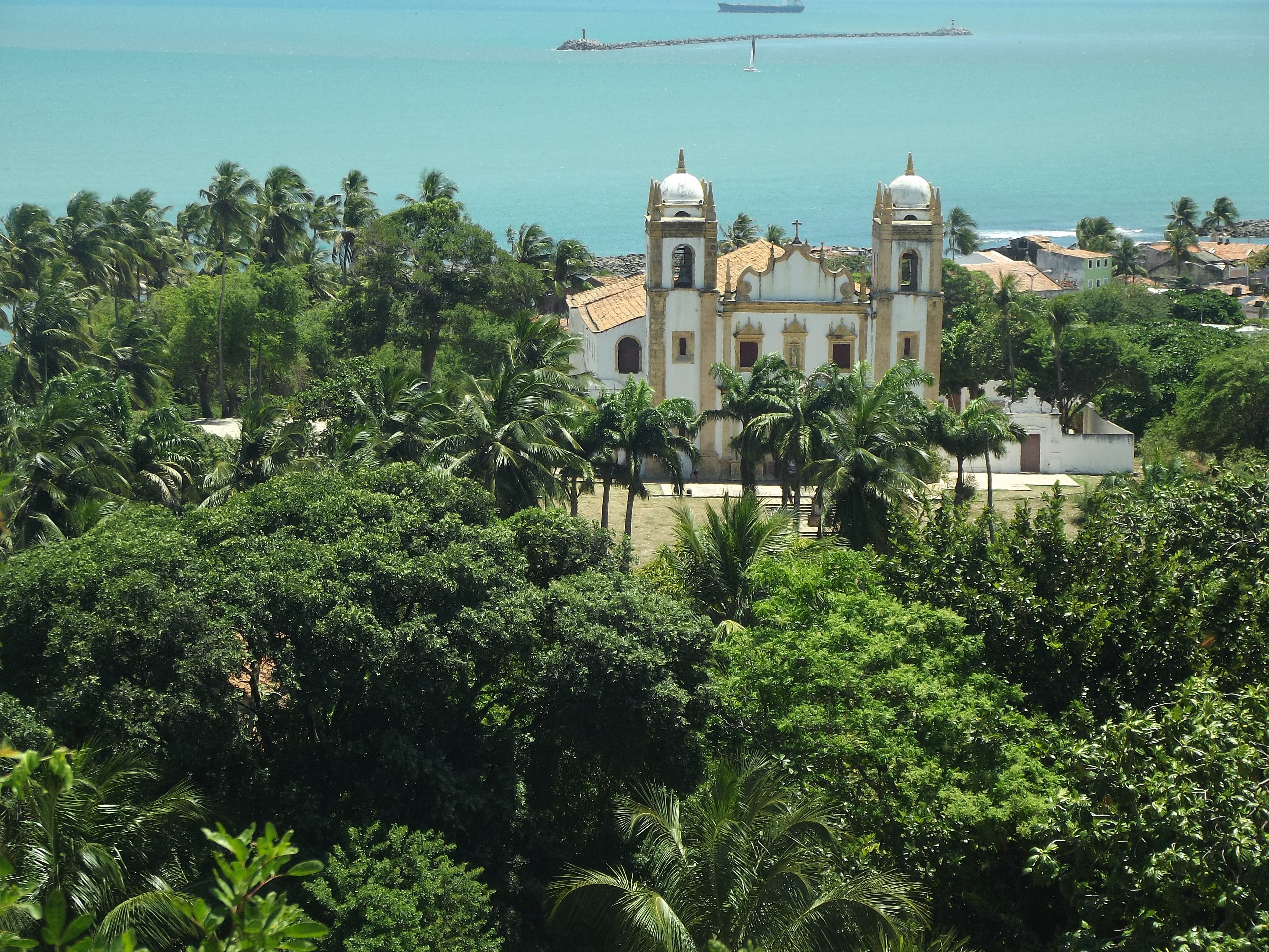
Belém, capital of the state of Pará, is a port city and gateway to Brazil’s lower Amazon region. By Guajará Bay, the riverfront district Cidade Velha (old town) preserves Portuguese-colonial architecture, including churches, colorful azulejo-tile houses and a 17th-century fortification known as Forte do Presépio. Ver-o-Peso is a vast, open-air market on the water selling Amazonian fish, fruit and handicrafts.
About Devil's Island
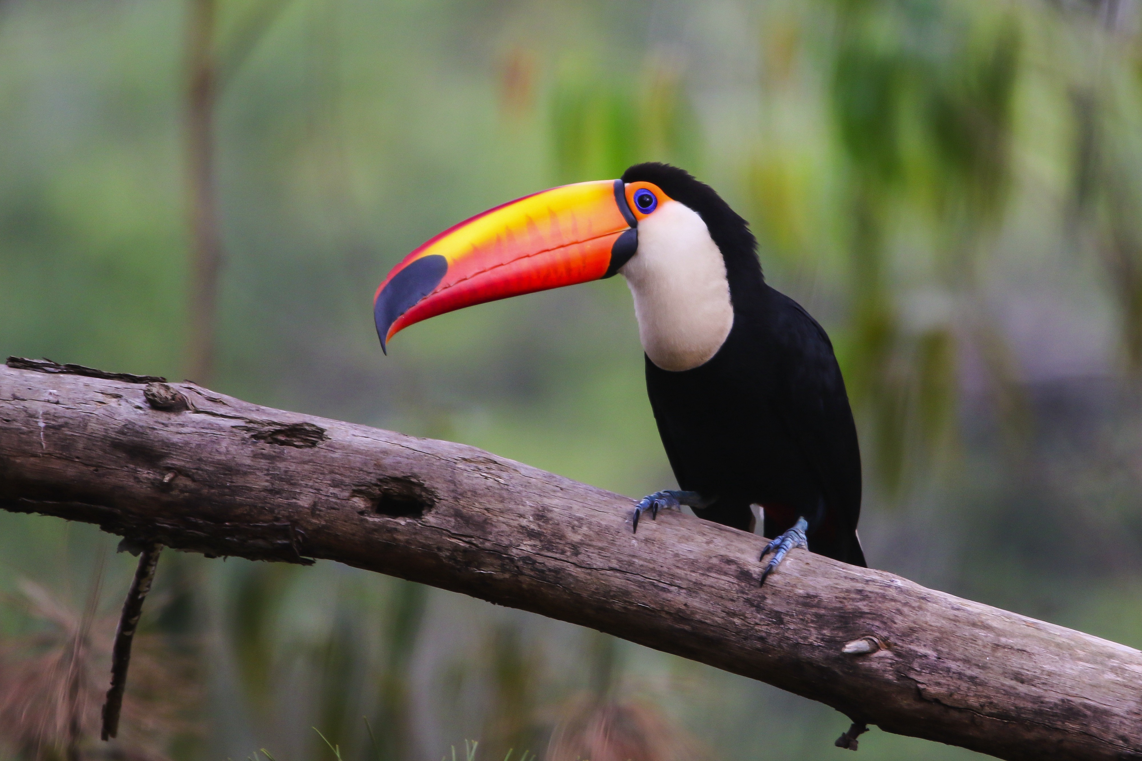
Discarded off the coast of French Guiana, lies an ominous, key-shaped island of sharp rocks and swaying palm trees - Devil's Island. As the site of one of history’s most infamous and feared prisons, the island's reputation as hell on earth was well earned, having been used to brutally imprison, torture and punish the French Empire's most notorious criminals. Closed down in 1953, it now lies in an eerie purgatory, and the sense of unease as you approach it is hard to avoid, with its laden-coconut trees duplicitously waving you ashore.
About Castries
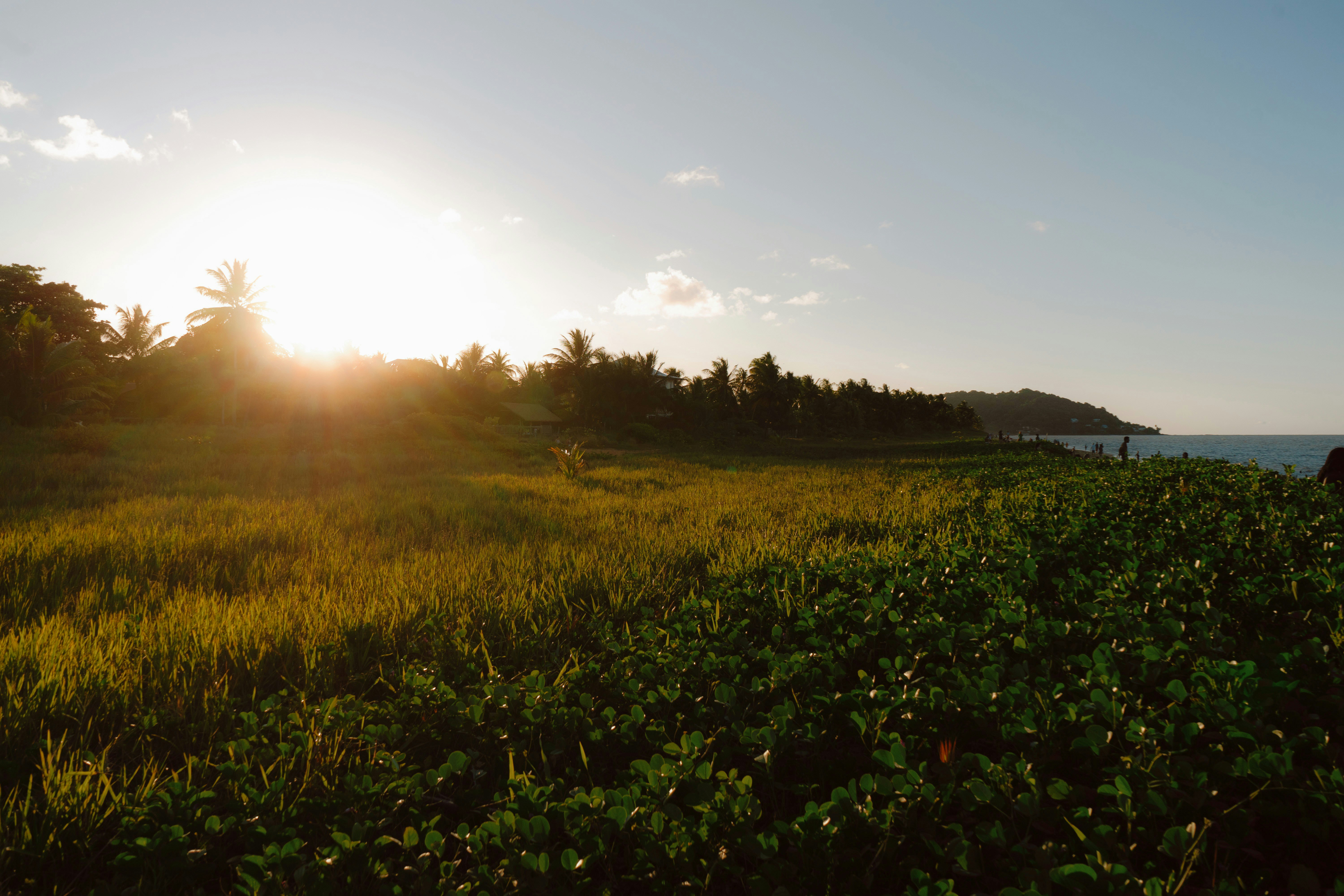
The typical image of a lush tropical paradise comes to life on the friendly island of St Lucia. Despite its small size – just 27 miles long and 14 miles wide – St Lucia is rich in natural splendour with dense emerald rainforest, banana plantations and orchards of coconut, mango and papaya trees. The twin peaks of Les Pitons, now a UNESCO World Heritage Site rise dramatically 2,000 feet into the sky and dominate the island. Look out for unusual birds with brilliant plumage such as the St Lucia parrot, see a surprising diversity of exotic flora and enjoy the warm hospitality of the islanders in the small villages and open-air markets. Please be aware that St Lucia is a small, mountainous island, with steep, winding and bumpy roads. Customers with back and neck problems should take this into consideration when booking an excursion.
About Roseau
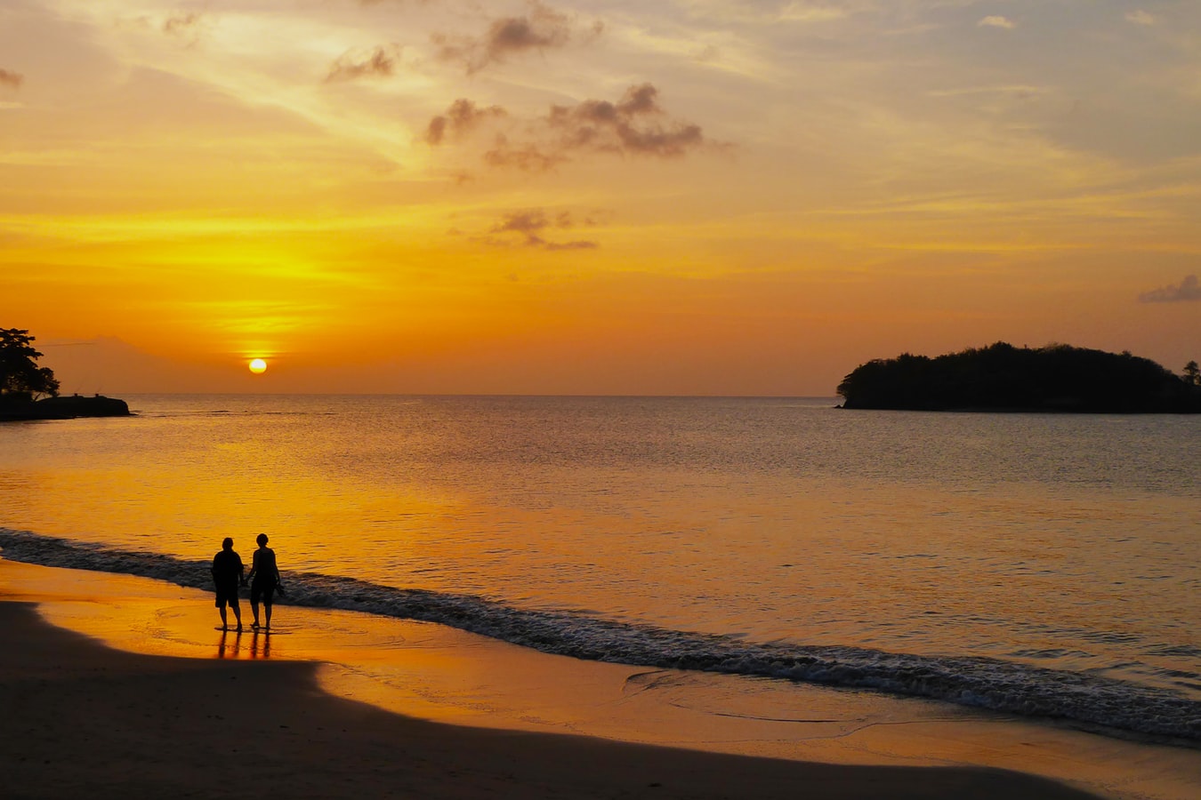
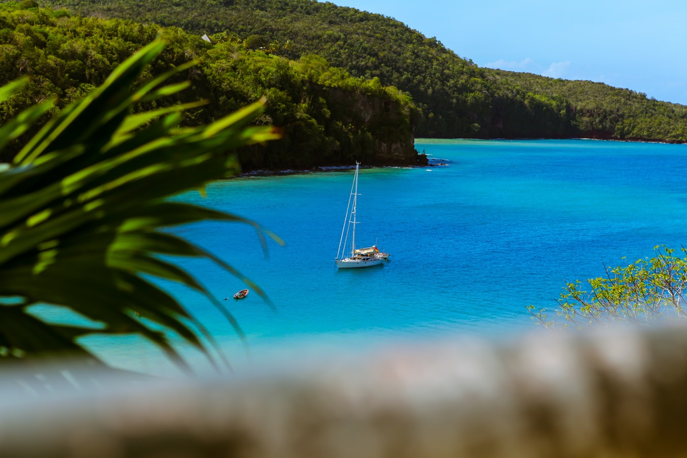
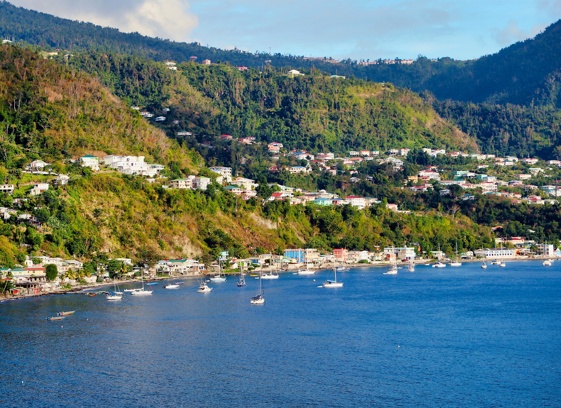
Although it's one of the smallest capitals in the Caribbean, Roseau has the highest concentration of inhabitants of any town in the eastern Caribbean. Caribbean vernacular architecture and a bustling marketplace transport visitors back in time. Although you can walk the entire town in about an hour, you'll get a much better feel for the place on a leisurely stroll. For some years now, the Society for Historical Architectural Preservation and Enhancement (SHAPE) has organized programs and projects to preserve the city's architectural heritage. Several interesting buildings have already been restored. Lilac House, on Kennedy Avenue, has three types of gingerbread fretwork, latticed verandah railings, and heavy hurricane shutters. The J.W. Edwards Building, at the corner of Old and King George V sreets, has a stone base and a wooden second-floor gallery. The Old Market Plaza is the center of Roseau's historic district, which was laid out by the French on a radial plan rather than a grid, so streets such as Hanover, King George V, and Old radiate from this area. South of the marketplace is the Fort Young Hotel, built as a British fort in the 18th century; the nearby statehouse, public library, and Anglican cathedral are also worth a visit. New developments at the bay front on Dame M.E. Charles Boulevard have brightened up the waterfront.
About Philipsburg
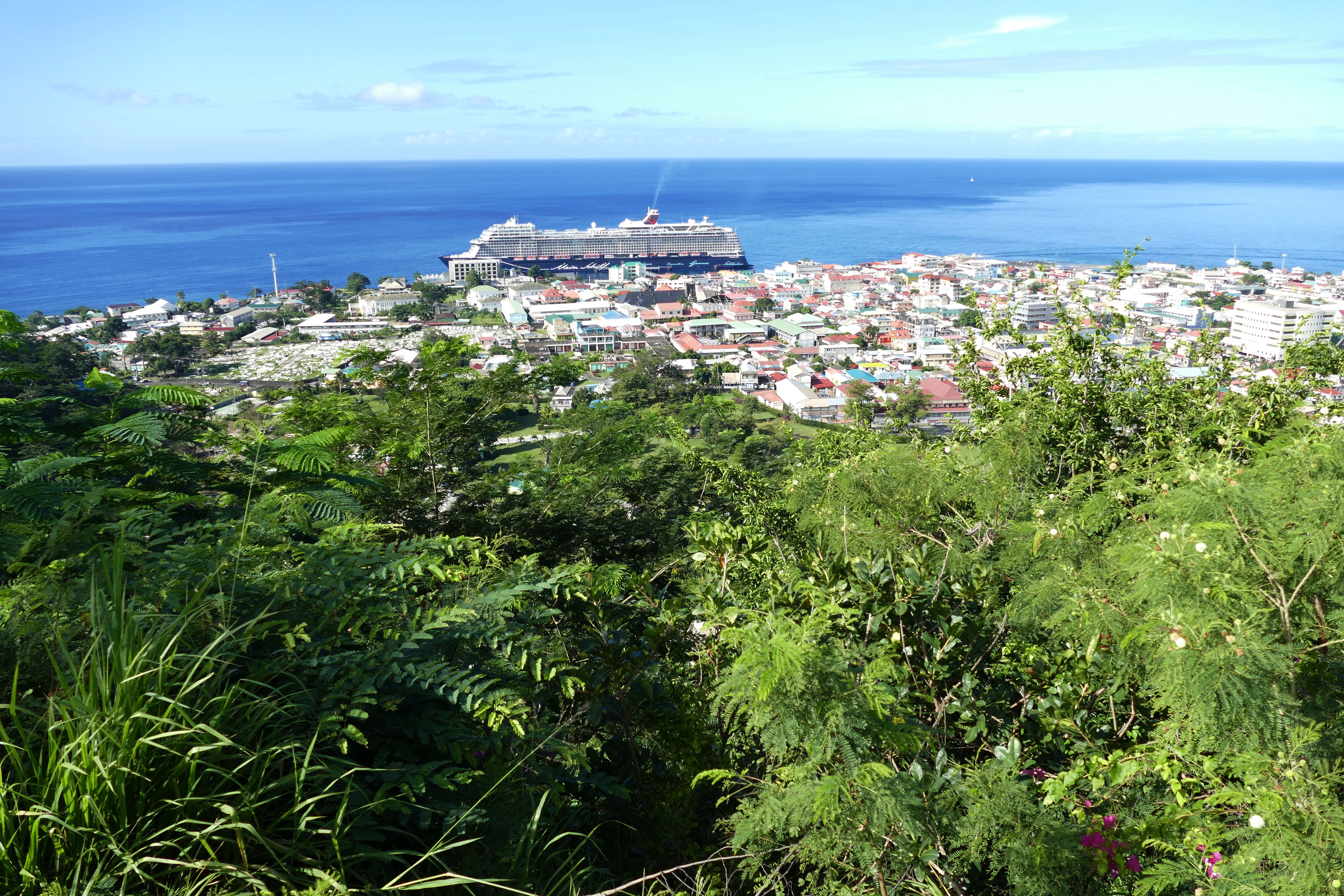
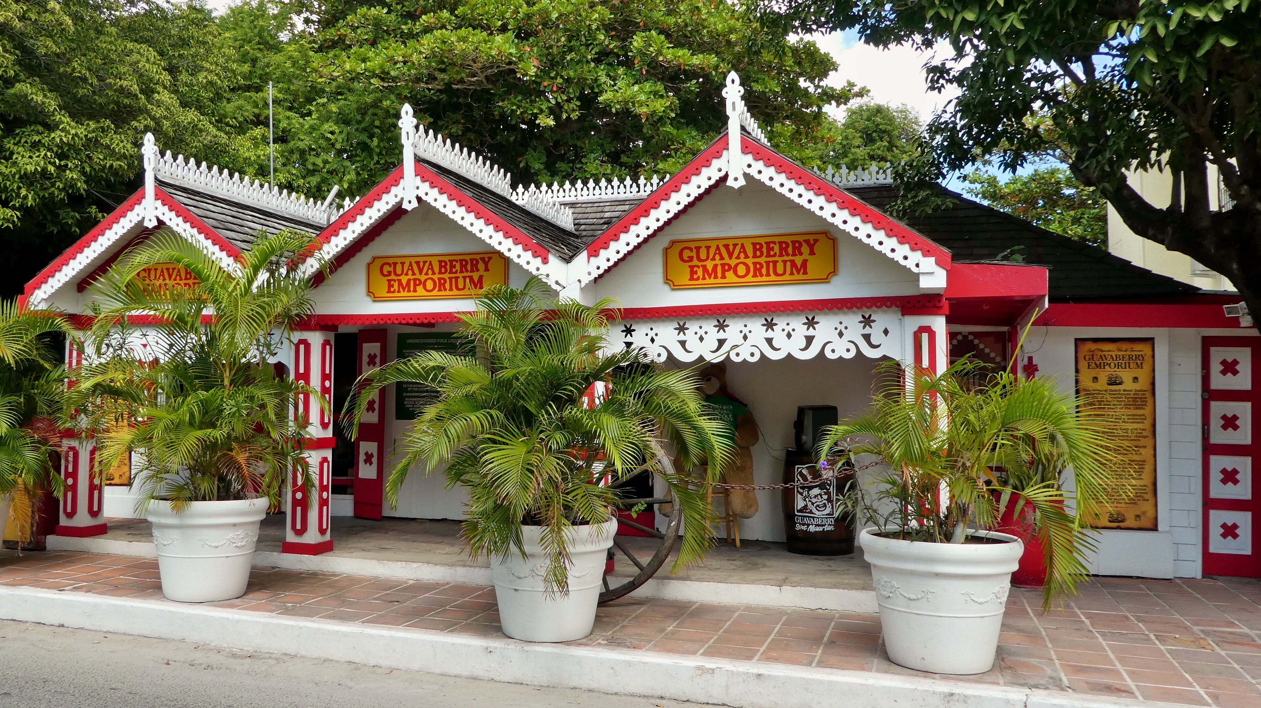
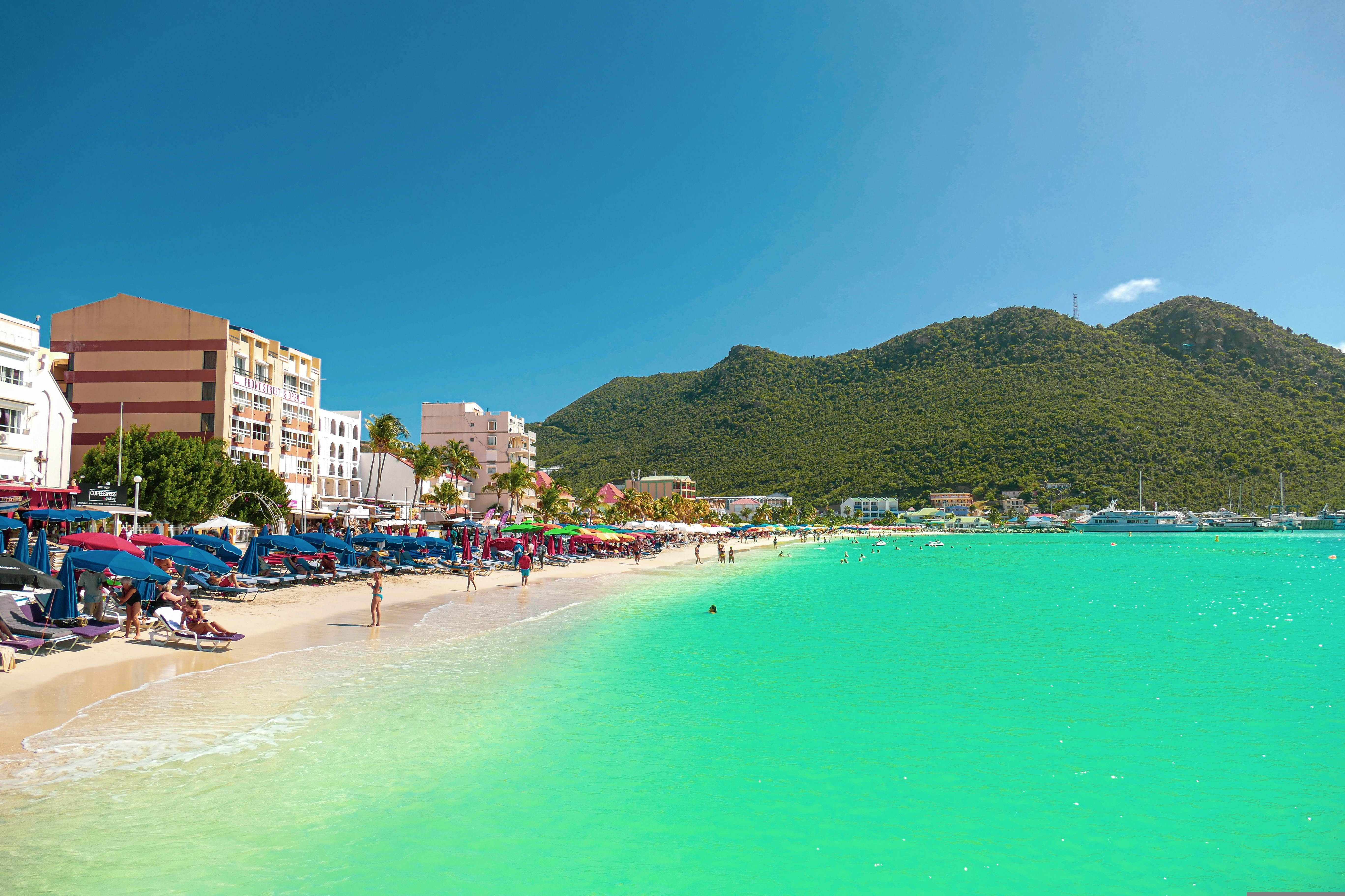
The capital of Dutch St. Maarten stretches about a mile (1½ km) along an isthmus between Great Bay and the Salt Pond and has five parallel streets. Most of the village's dozens of shops and restaurants are on Front Street, narrow and cobblestone, closest to Great Bay. It's generally congested when cruise ships are in port, because of its many duty-free shops and several casinos. Little lanes called steegjes connect Front Street with Back Street, which has fewer shops and considerably less congestion. Along the beach is a ½-mile-long (1-km-long) boardwalk with restaurants and several Wi-Fi hot spots.Wathey Square (pronounced watty) is in the heart of the village. Directly across from the square are the town hall and the courthouse, in a striking white building with cupola. The structure was built in 1793 and has served as the commander's home, a fire station, a jail, and a post office. The streets surrounding the square are lined with hotels, duty-free shops, restaurants, and cafés. The Captain Hodge Pier, just off the square, is a good spot to view Great Bay and the beach that stretches alongside.
About Miami, Florida
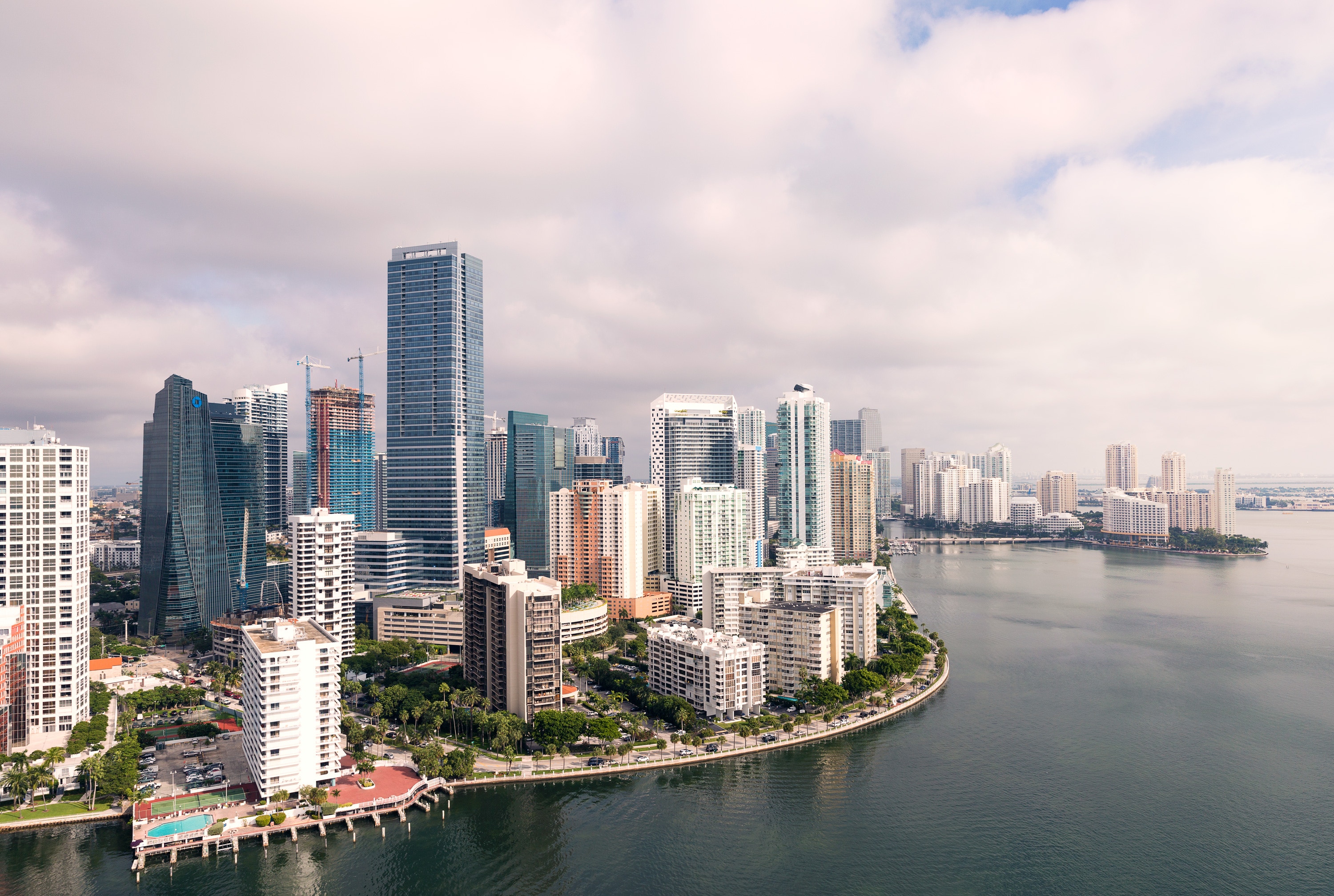
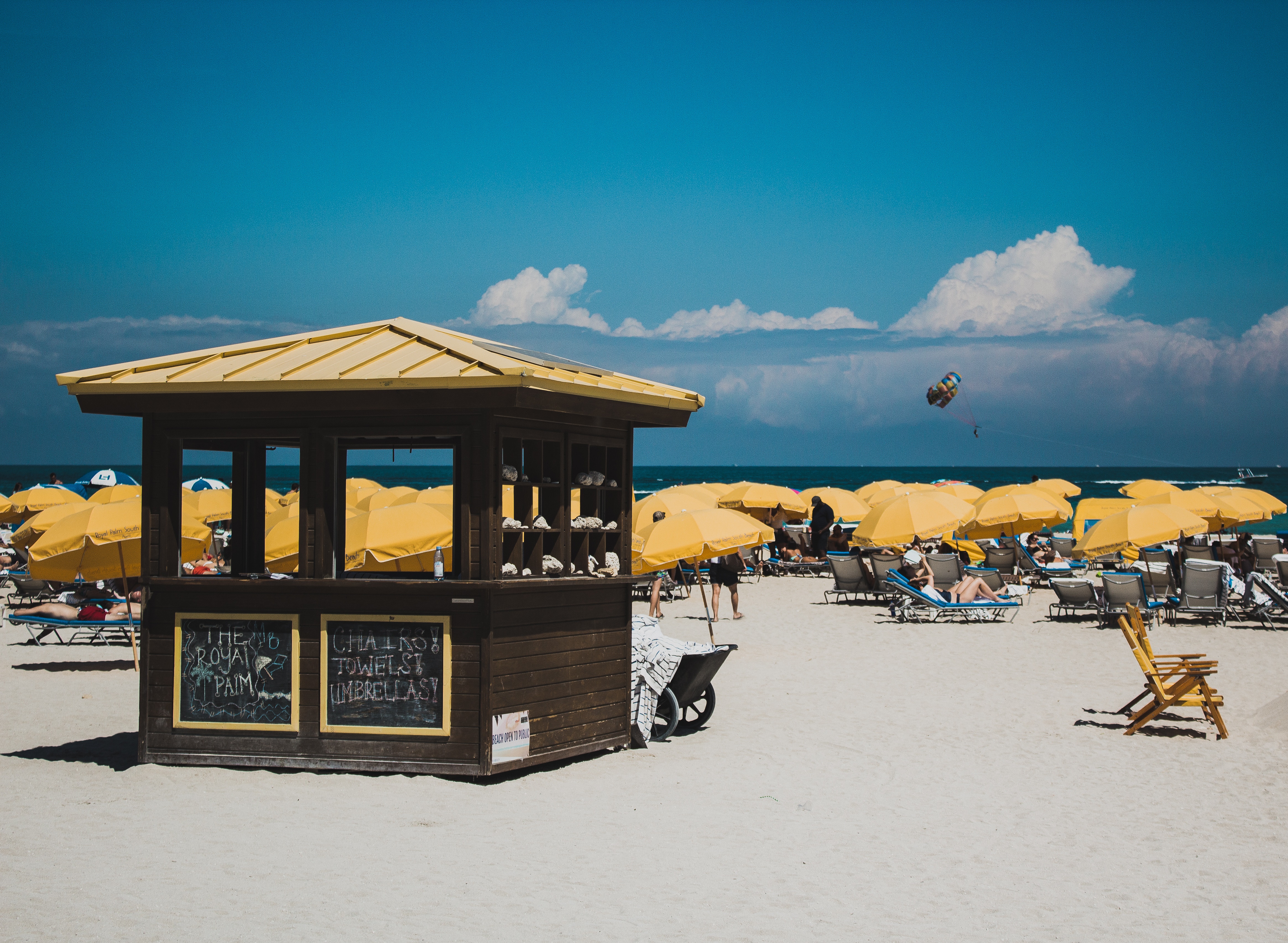
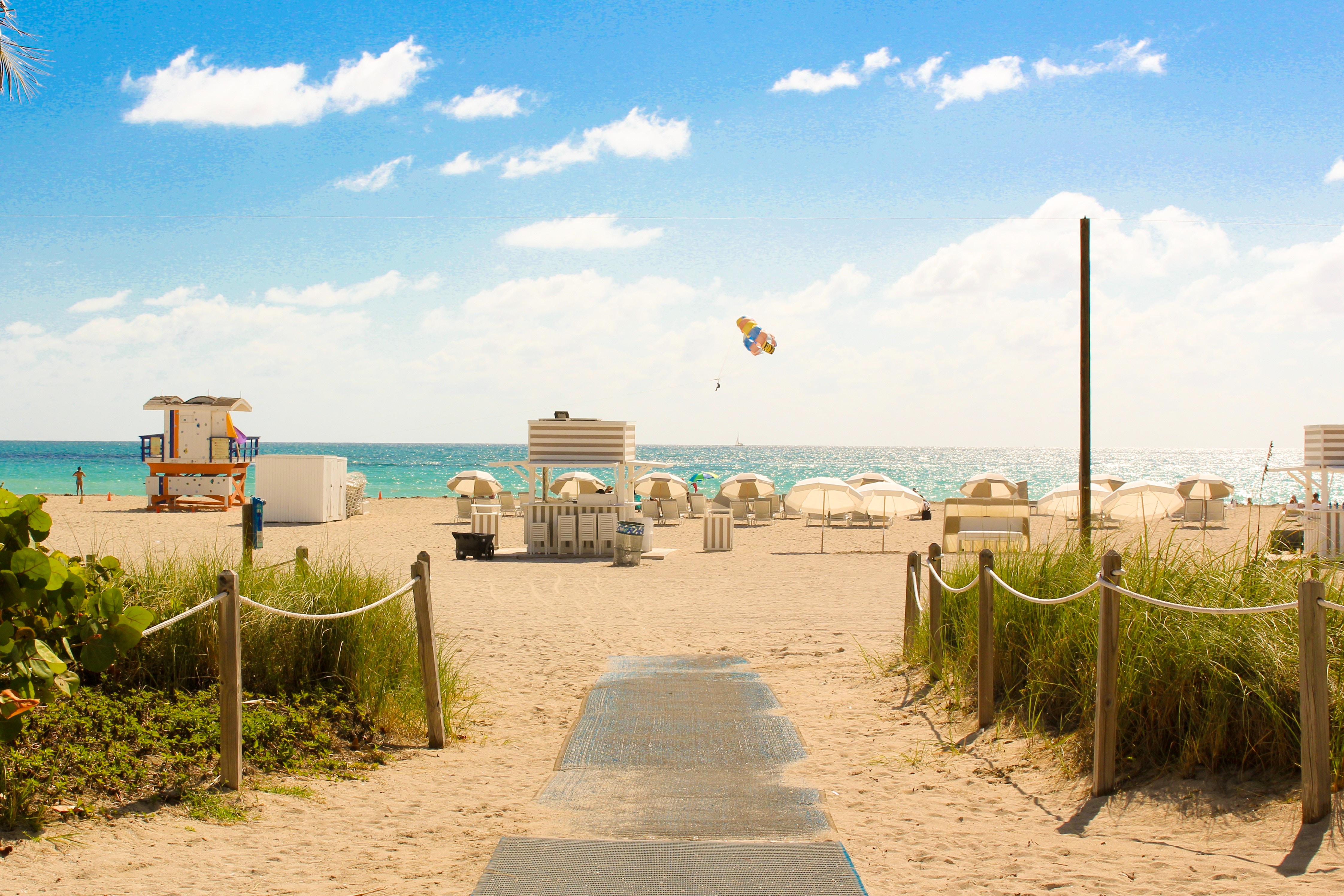
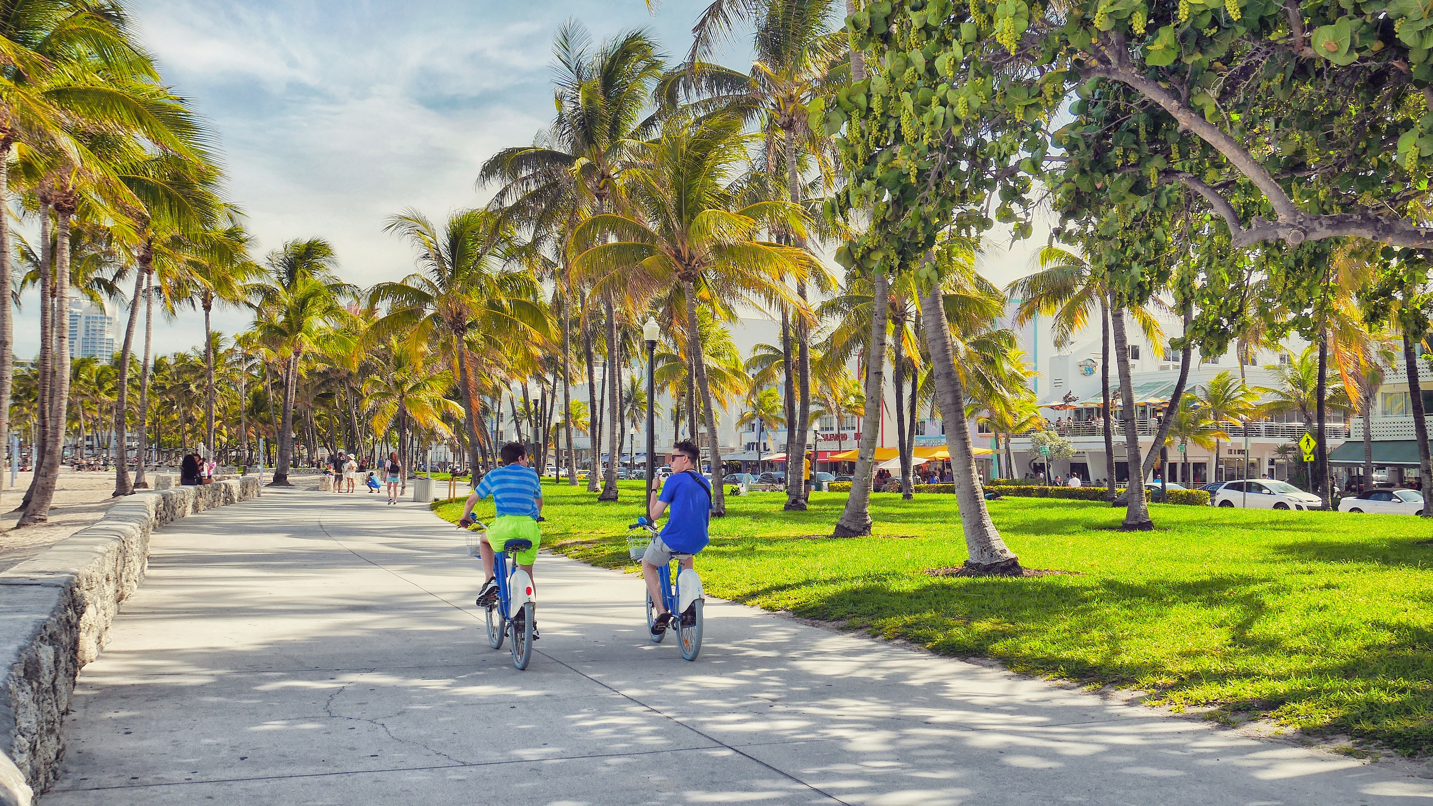
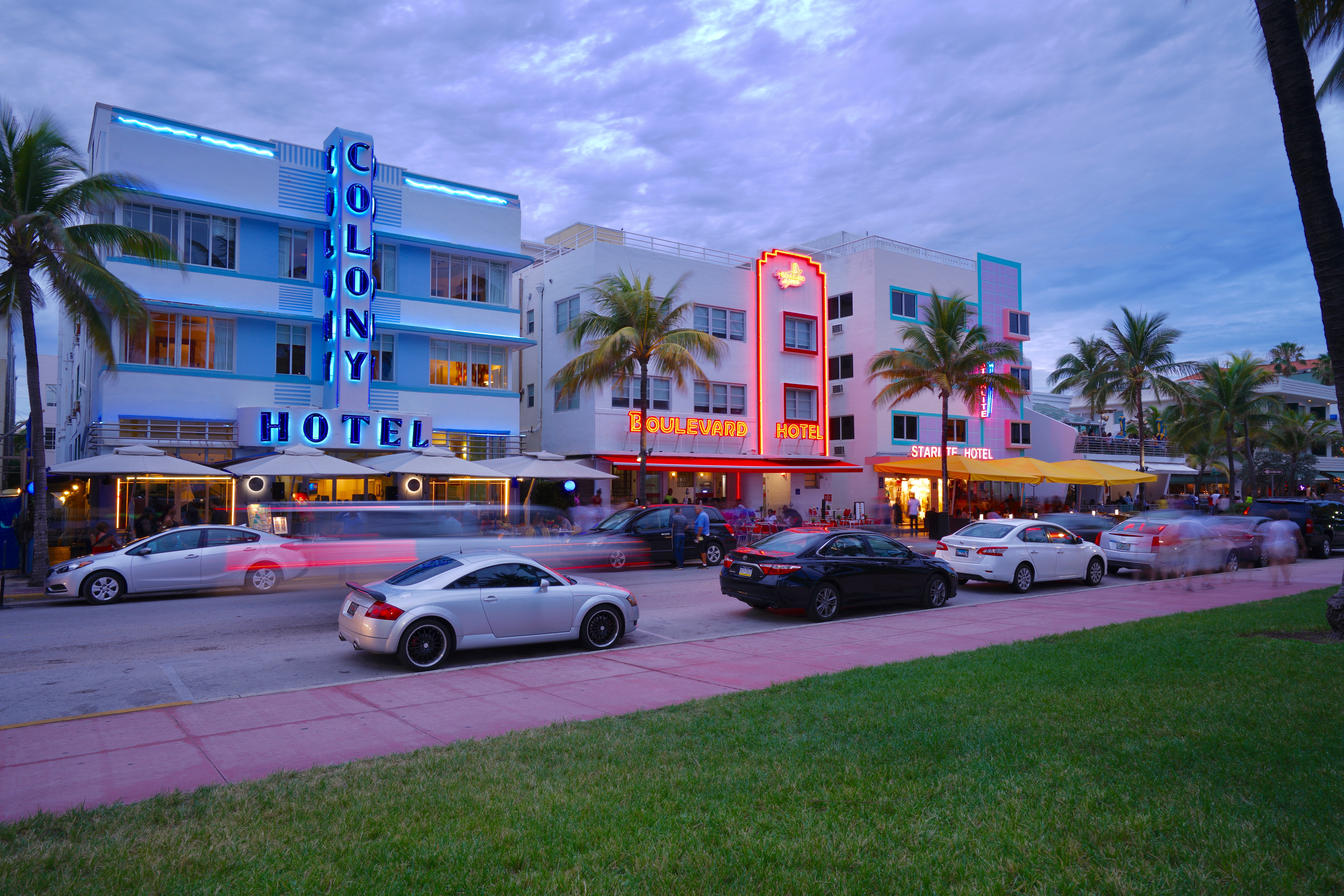
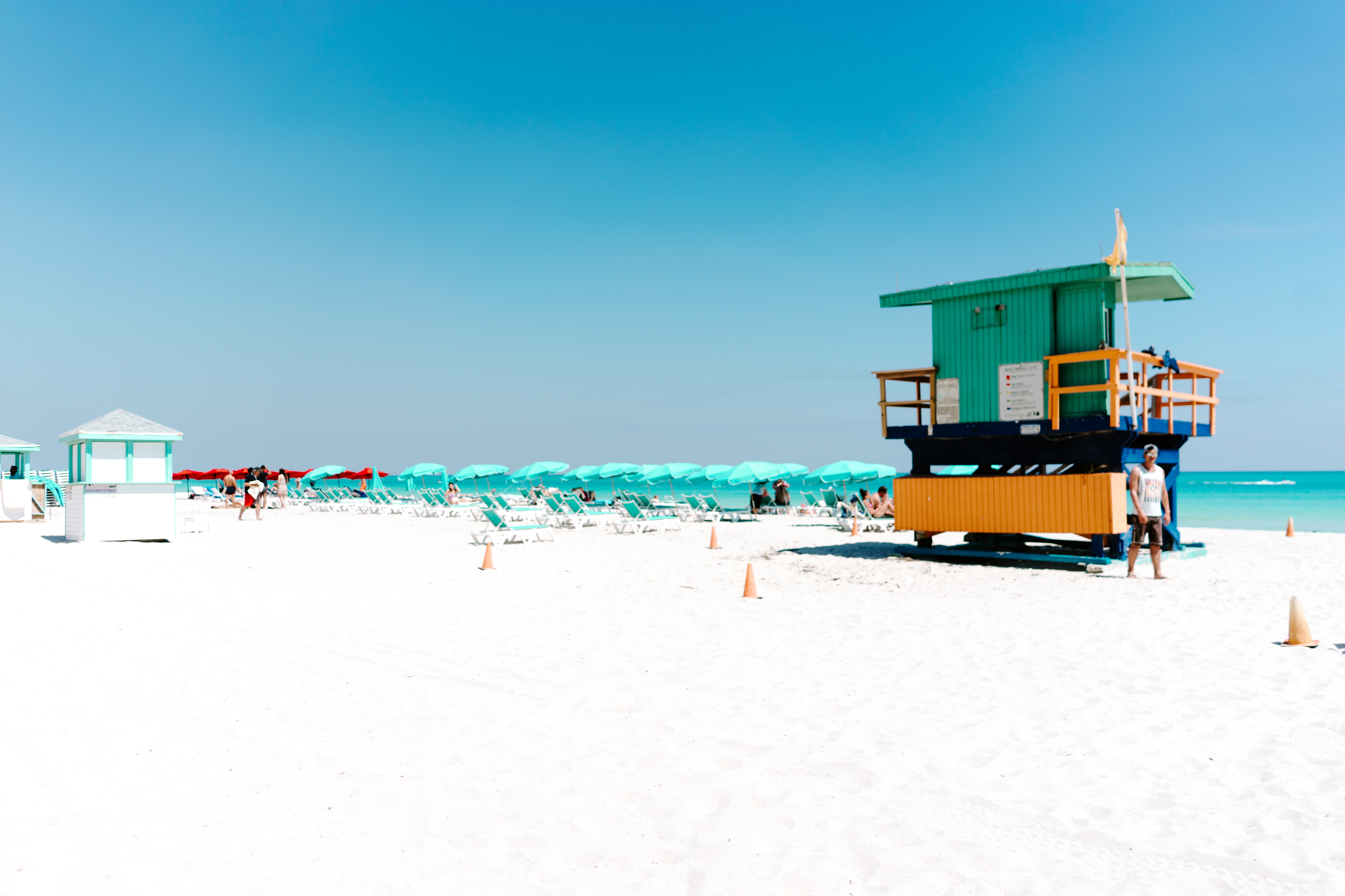
Miami is one of the world’s most popular holiday spots. It has so much to offer; from its countless beach areas, to culture and museums, from spa and shopping days out, to endless cuban restaurants and cafes. Miami is a multicultural city that has something to offer to everyone.
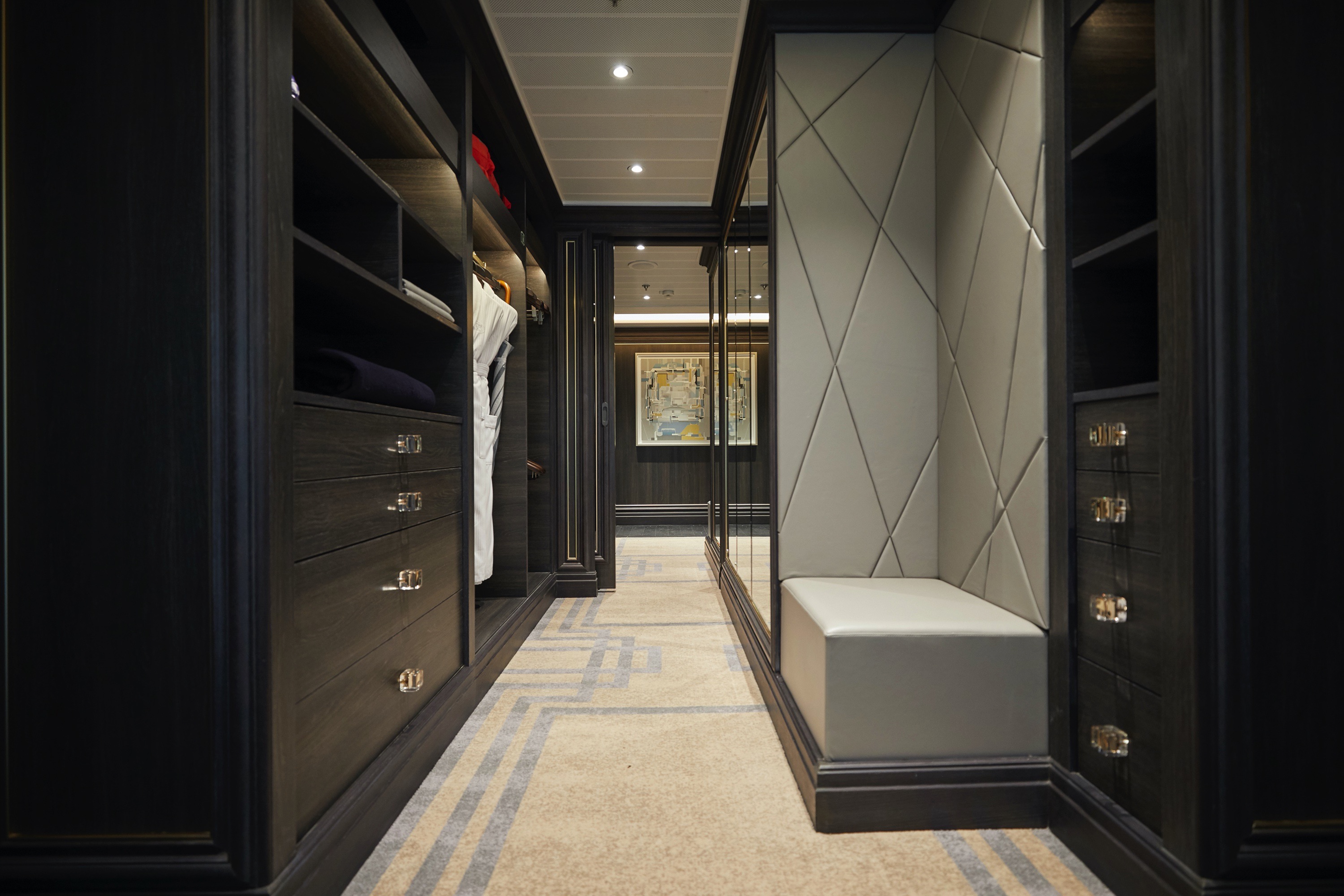
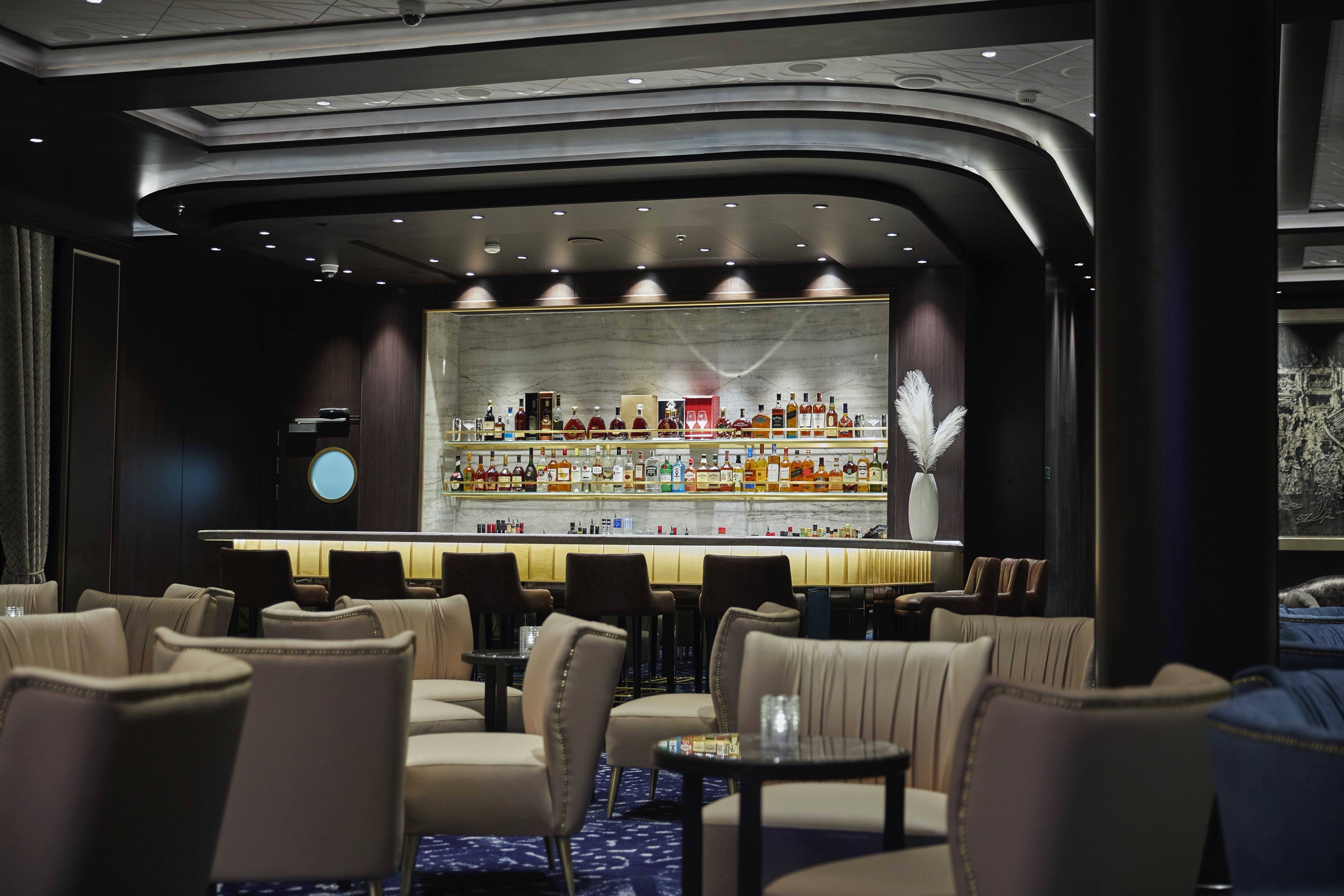
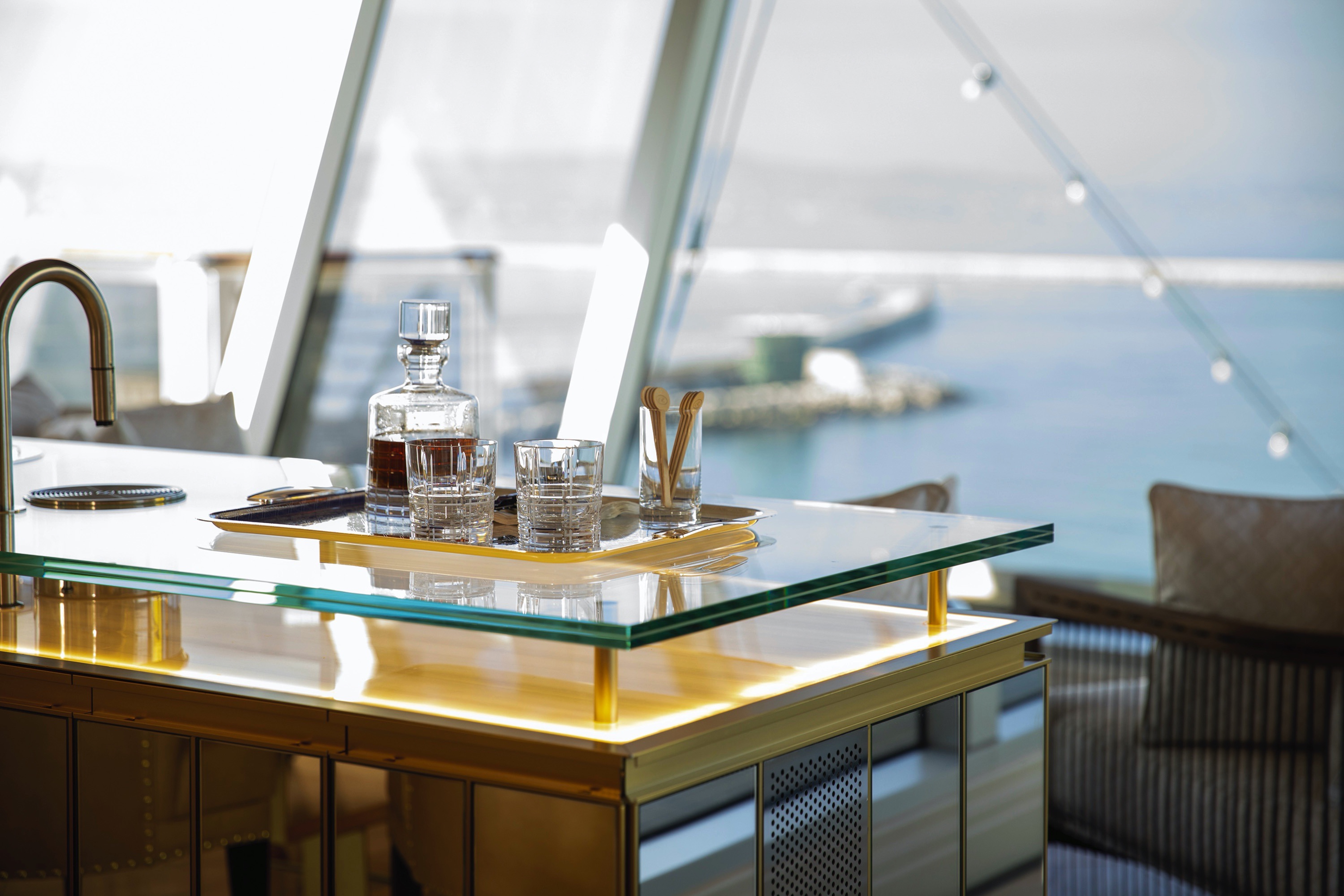
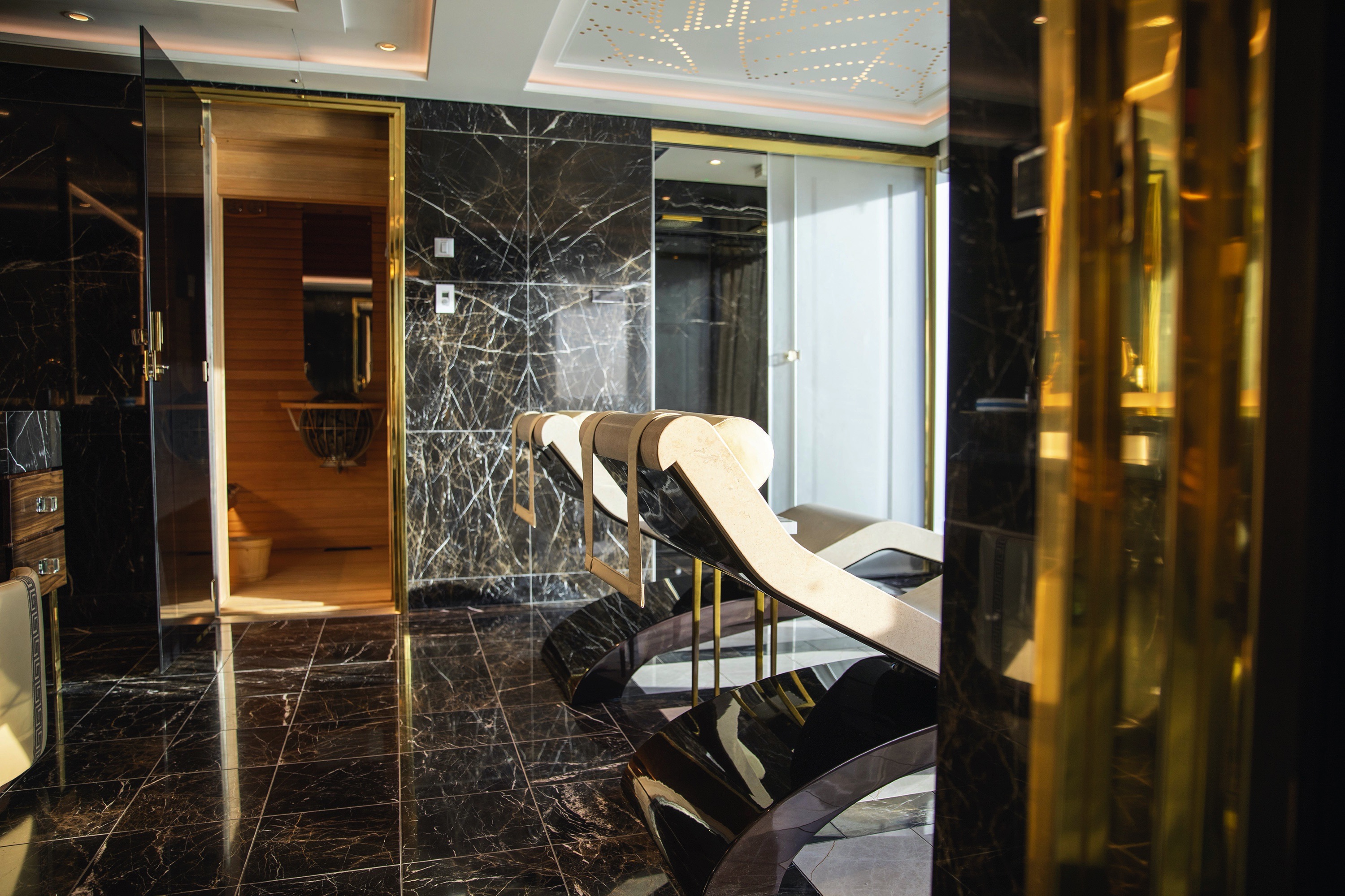
High atop the ship, this suite of more than 4,000 square feet (372 meters) rises above everything else at sea. Incomparable craftsmanship and meticulous attention to detail are evident in everything from the unique design choices, such as rare works of art, to grand features like an in-suite spa retreat — a first for any cruise ship. The only thing to rival the luxurious interior is the spectacular ocean view from the private balconies.
Layout
- 2 Spacious Bedrooms with King-Size Ḧastens Vividus Bed in Primary Bedroom (*Bed in primary bedroom cannot be converted into two beds.)
- 2 1/2 Marble & Stone Detailed Bathrooms, 1 with Jetted Tub
- 2 Private Balconies with Heated Minipool Spa
- Private In-Suite Spa with Sauna, Steam Room & Jacuzzi
- Spacious Living Room
- Panoramic Ocean-View Bar
- 3 Walk-In Closets with 2 Safes
- Glass-Enclosed, Ocean-View Shower & Spa
- Private, Separately Located Dining Room for Up to 12 Guests
- Includes Up To 6 Guests
The suite pictured may differ from the suite booked, as layouts and designs vary by ship, deck, and suite location.
Amenities
- 1-Night Pre-Cruise: Hotel Package Including:
- - Ground Transfers
- - Breakfast
- - Porterage
- Unlimited WiFi and Streaming Package for up to Four Devices
- Valet Laundry Service
- 24-hour In-Suite Dining
- Fresh Orchid Arrangement
- L'Occitane® Jasmin & Bergamot Bath Amenities
- Regent Plush Bathrobe & Slippers
- Interactive Flat-Screen Television & Direct-Dial Satellite Phone
- Priority Access to Online Shore Excursion Reservations
- Priority Access to Online Dining Reservations
- Binoculars
- illy® Espresso Maker
- Cashmere Blankets
- Regent Special Gift
- Vanity & Hair Dryer
- Shoe Shine Service
- Additional Discounts:
- - 10% Discount on Ultra Premium Wine and Liquor
- - 5% Savings on Pre- or Post-Cruise Hotel or Land Programs
- - 5% Savings on Regent Choice Shore Excursions
- Additional Regent Suites Amenities:
- Personal Car & Guide to Explore Ashore
- Daily Serene Spa & Wellness™ Services with Priority Reservations
- Access to The Study, a Private Dining Room for up to 12 Guests
- Unlimited Dry Cleaning
- Guaranteed Reservation Each Night in Specialty Restaurant of Your Choice
- Welcome Letter from the President and General Manager
- Personal Butler for an Elevated In-suite Experience
- - In-Suite Dining Menu Including Specialty Restaurant Selections During Dining Hours
- Priority Boarding on Embarkation Day with Suite Access at Noon
- Marzotto Cristallo Silk & Cashmere with Fringe Throw
- Welcome Bottle of Dom Pérignon Champagne
- Remy Martin Louis XIII Cognac 50ml
- Personalized In-Suite Full-Liquor Bar Set-Up
- A Sumptuous In-Suite Caviar Service Once During Cruises
- Complimentary In-Suite Cocktail Party for 8
- Complimentary 25-Minute Personal Fitness Session at the Serene Spa & Wellness™ Fitness Center
- Daily Canapés
- Tea Forté Set-Up
- Luxe Fruit Arrangement with Chocolate Leonidas
- Choice of Luxurious Designer Bath Amenities
- Spa Accessories & Spongology Collection
- Dyson Hairdryer
- Selection of Fig & Tea Leaves Bath Salts
- Guerlain Bath Amenities & Men's Unscented Shaving Kit
- Bath Scale Setup
- Wallet Make Up Brush Set / Hairbrush & Combo Set
- Bose® SoundLink Mini II Bluetooth Speaker
- Selection of Bed Pillow Styles
- Linen Menu
- Complimentary Garment Pressing on First Night
- Personalized Stationery upon request
- Elegant Weather Clock
- Excursion Bag
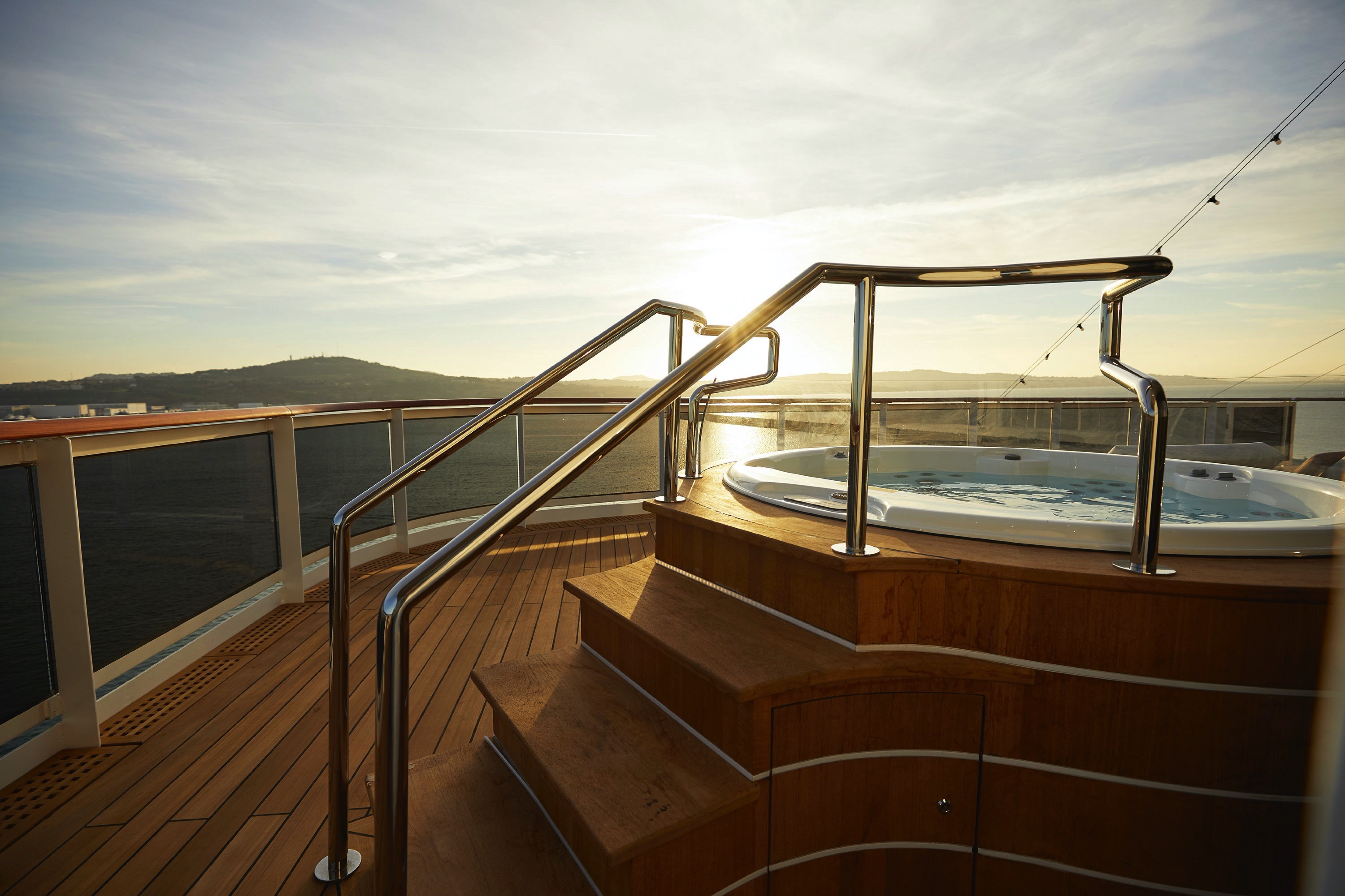
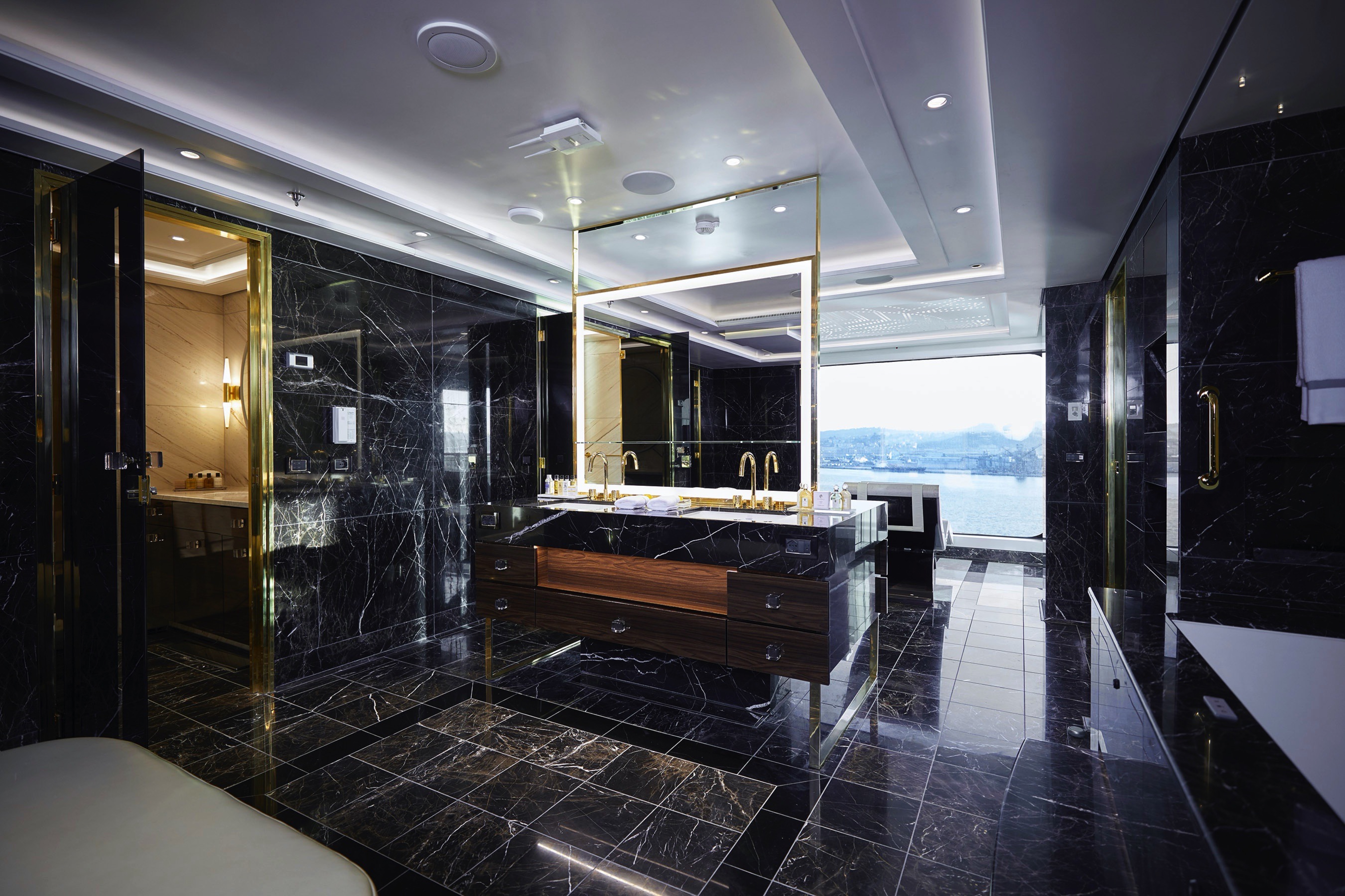
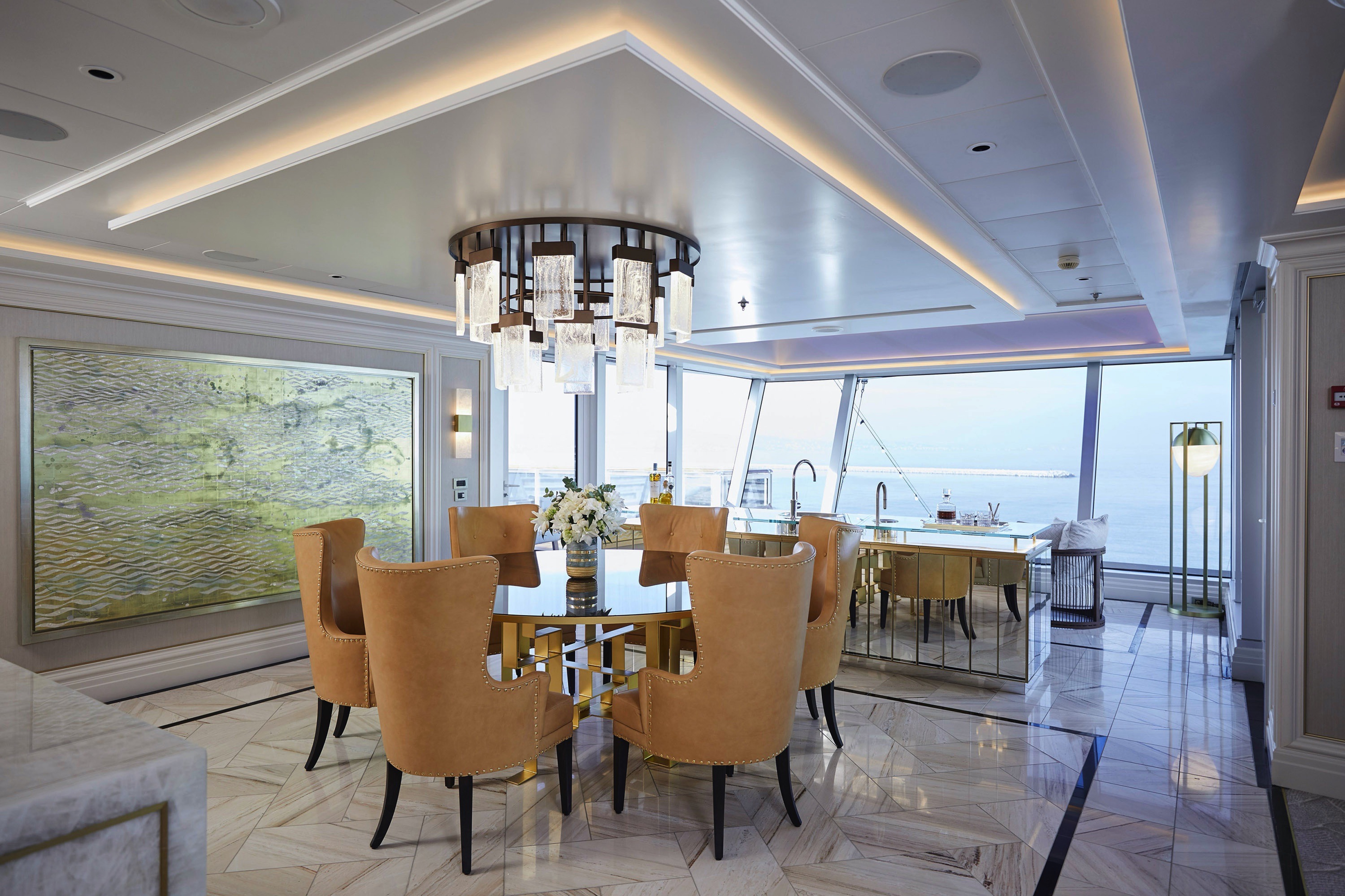
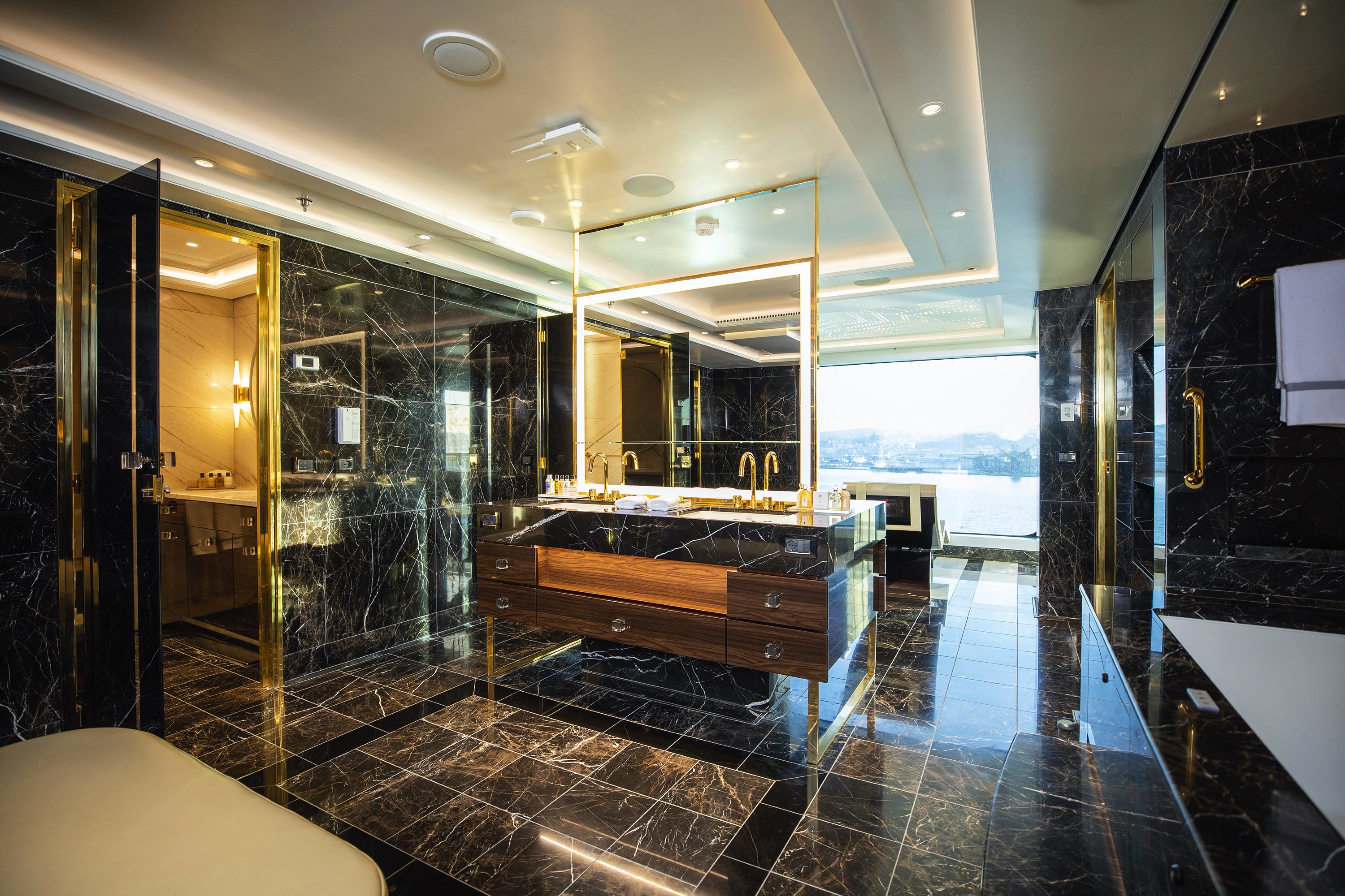
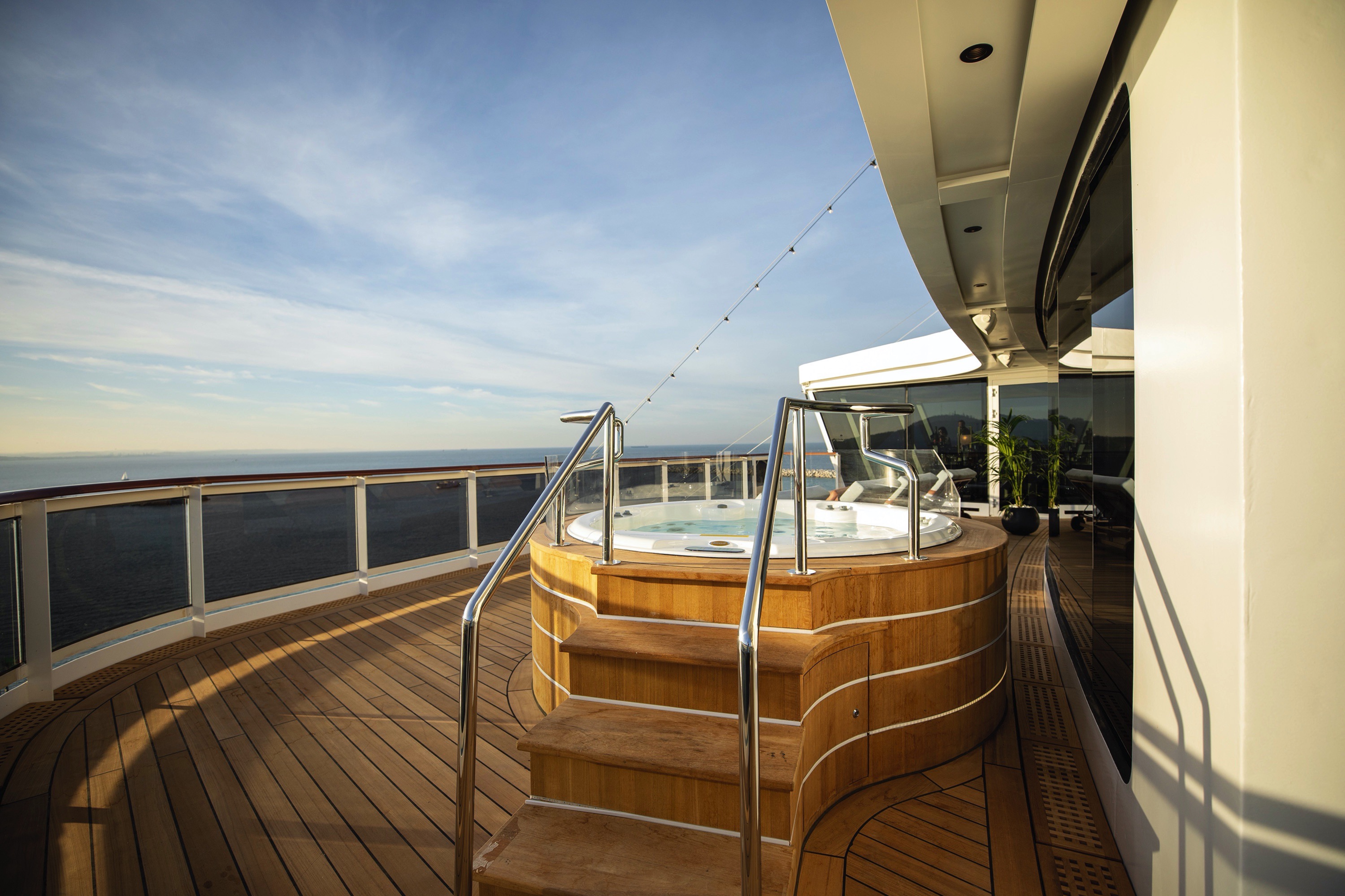
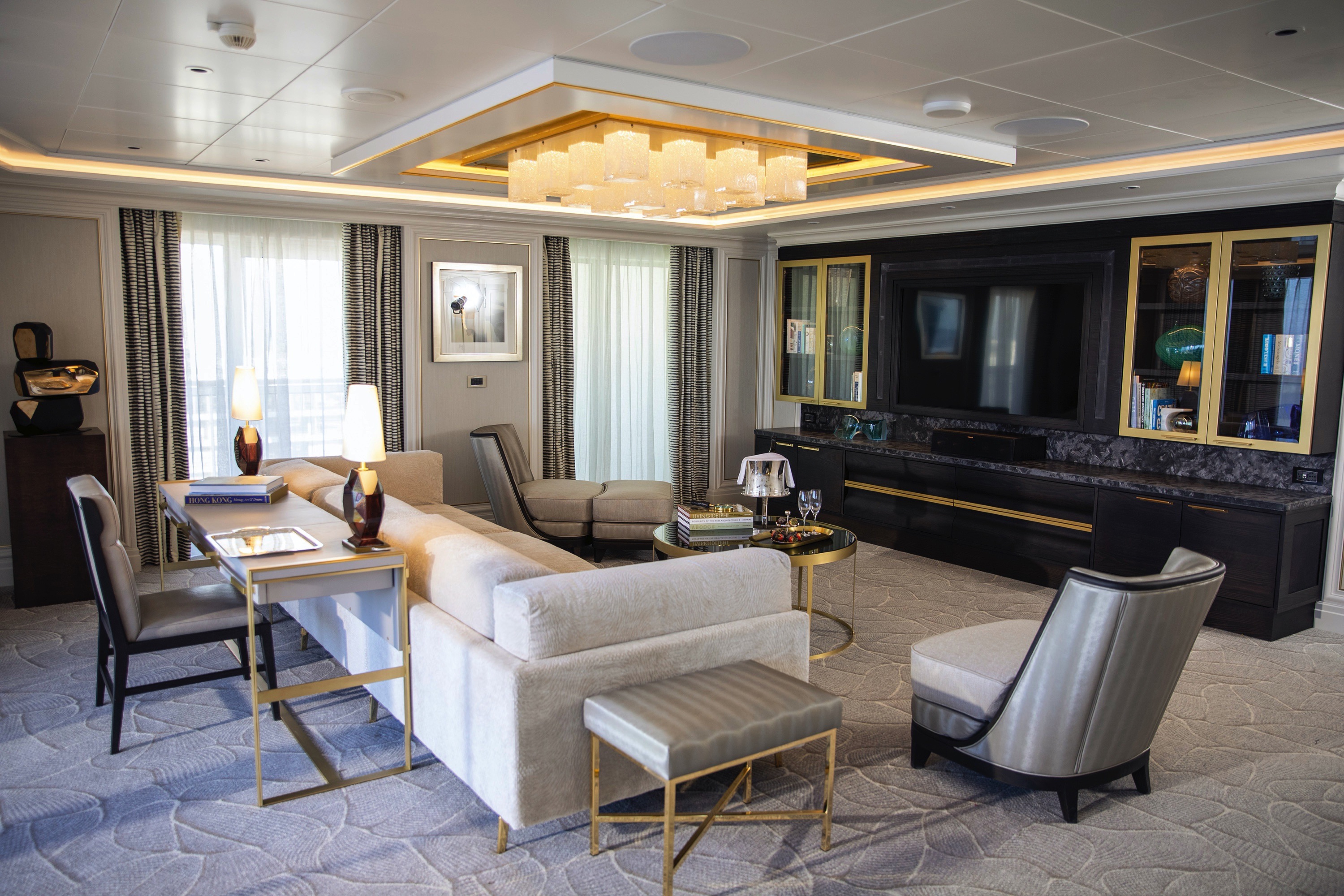
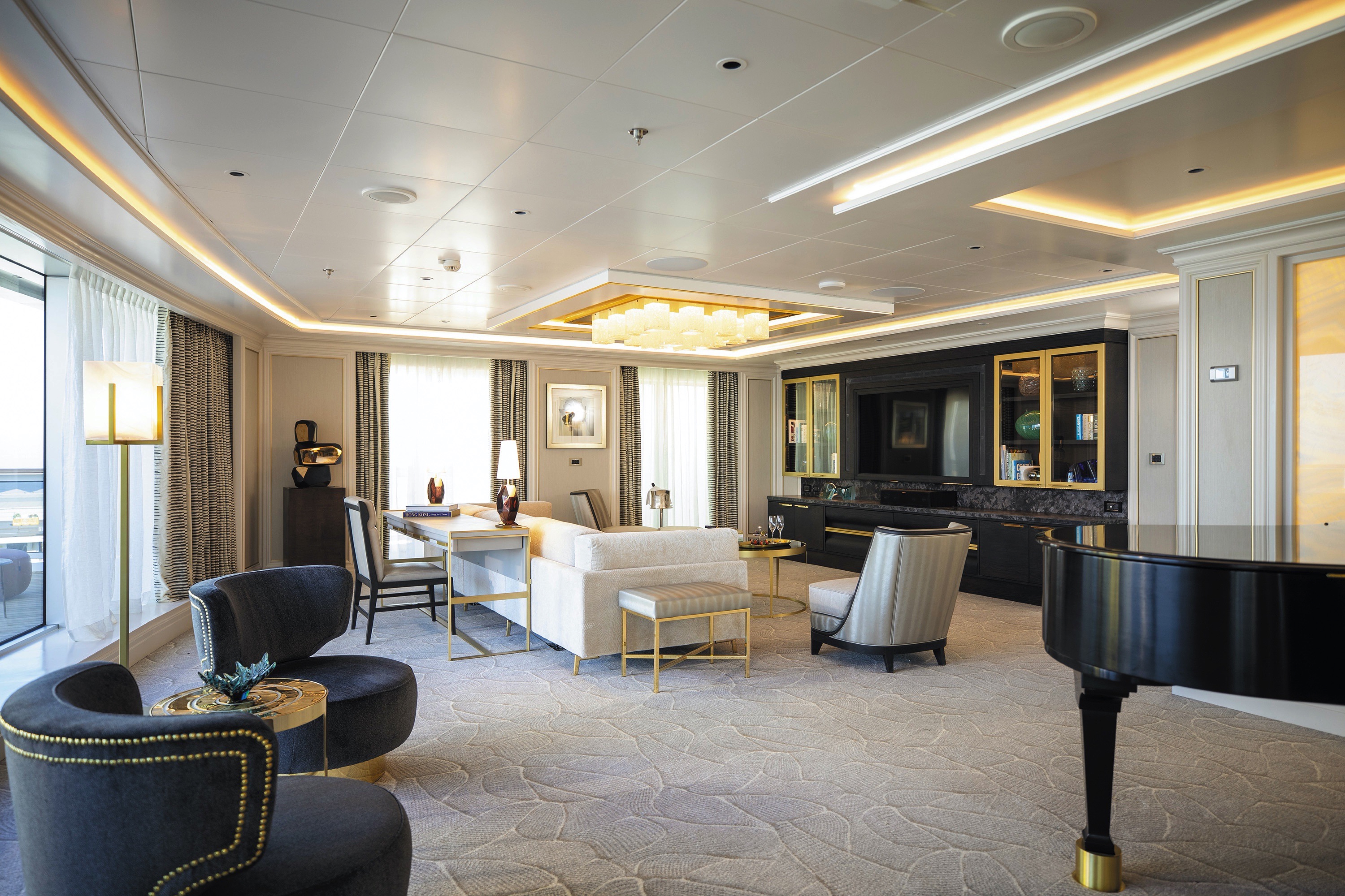
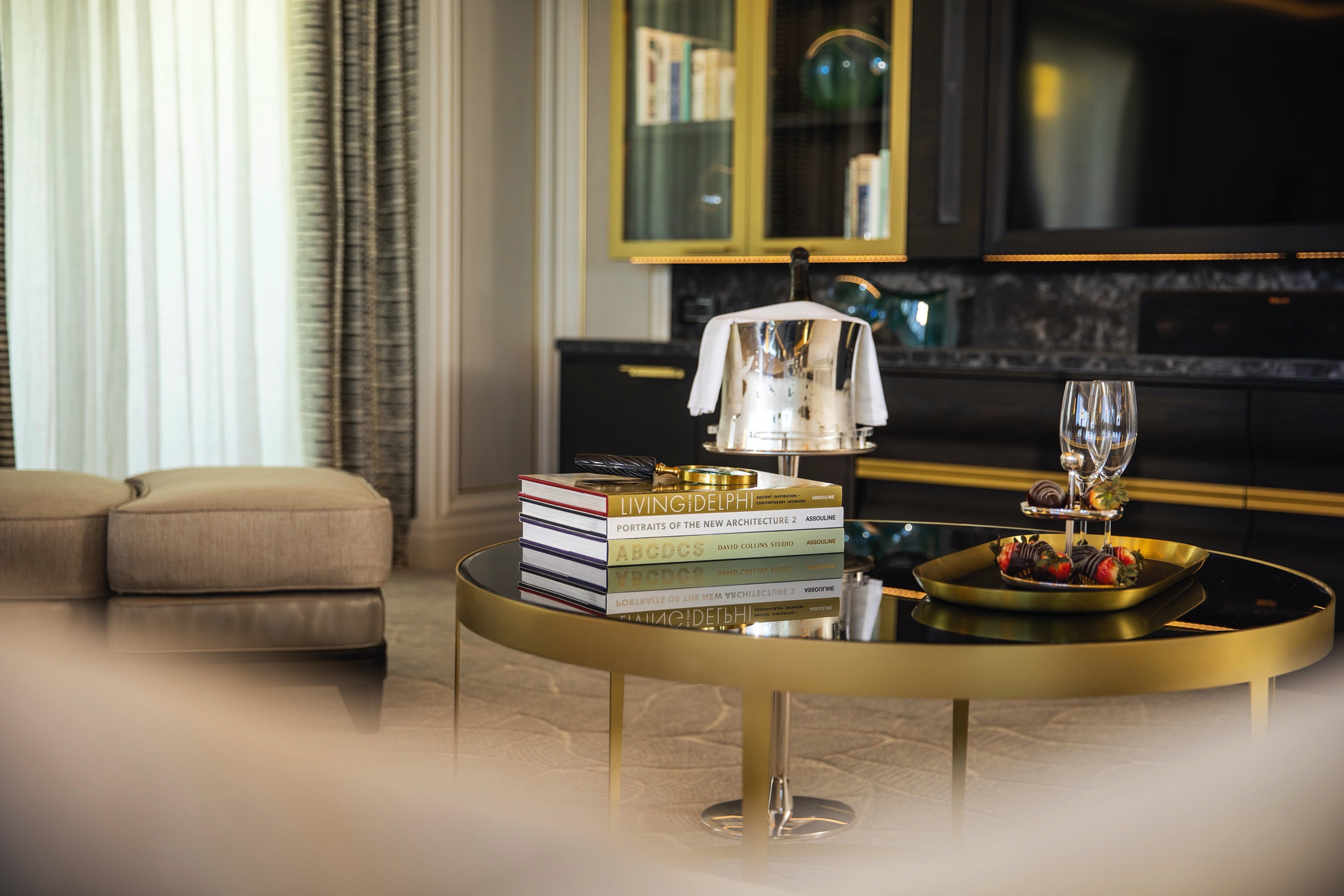
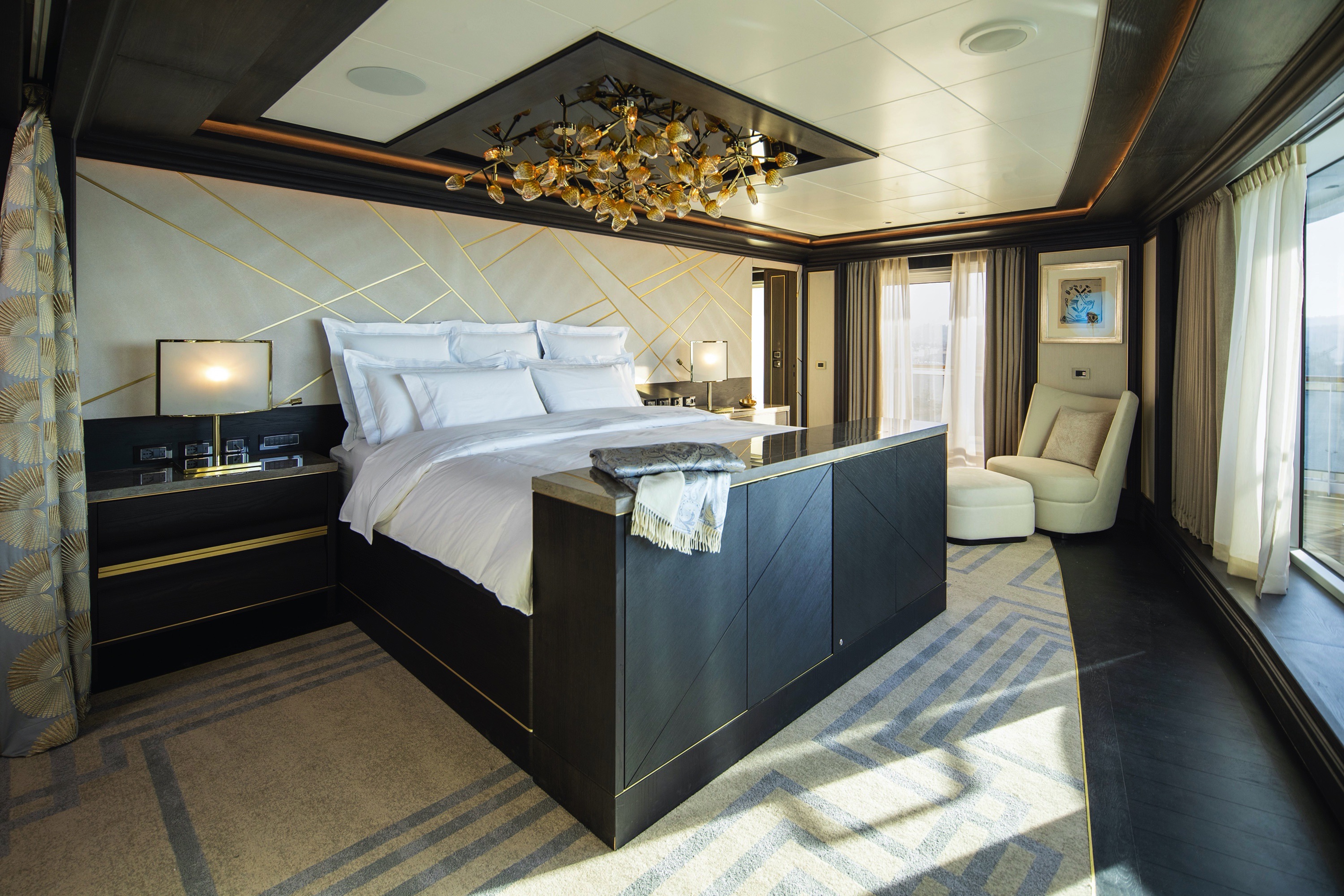
You'll find Park Avenue chic onboard Seven Sea Splendor® in this extravagant, stylish suite. A rich color palette, the finest fabrics and a grand piano create sophisticated comfort, while a personal butler will happily assist with both ordinary and special requests. With two spacious bedrooms, two-and-a-half baths, a large living room and a wrap-around private balcony, this suite is perfectly suited to host gatherings of new friends.
Layout
- 2 Spacious Bedroom with a European King-Size Elite Slumber® Bed (*Bed in primary bedroom cannot be converted into two beds.)
- 2 Marble & Stone Detailed Bathrooms
- Private Balcony
- Sitting Area
- Walk-In Closet with Safe
- Includes Up To 6 Guests
The suite pictured may differ from the suite booked, as layouts and designs vary by ship, deck, and suite location.
Amenities
- 1-Night Pre-Cruise: Hotel Package Including:
- - Ground Transfers
- - Breakfast
- - Porterage
- Unlimited WiFi and Streaming Package for up to Four Devices
- Valet Laundry Service
- 24-hour In-Suite Dining
- Fresh Orchid Arrangement
- L'Occitane® Jasmin & Bergamot Bath Amenities
- Regent Plush Bathrobe & Slippers
- Interactive Flat-Screen Television & Direct-Dial Satellite Phone
- Priority Access to Online Shore Excursion Reservations
- Priority Access to Online Dining Reservations
- Binoculars
- illy® Espresso Maker
- Cashmere Blankets
- Regent Special Gift
- Vanity & Hair Dryer
- Shoe Shine Service
- Additional Discounts:
- - 10% Discount on Ultra Premium Wine and Liquor
- - 5% Savings on Pre- or Post-Cruise Hotel or Land Programs
- - 5% Savings on Regent Choice Shore Excursions
Additional Signature Suite Amenities:
- Guaranteed Reservation Each Night in Specialty Restaurant of Your Choice
- Welcome Letter from the President and General Manager
- Personal Butler for an Elevated In-suite Experience
- - In-Suite Dining Menu Including Specialty Restaurant Selections During Dining Hours
- Priority Boarding on Embarkation Day with Suite Access at Noon
- Marzotto Cristallo Silk & Cashmere with Fringe Throw
- Welcome Bottle of Premium Champagne
- Personalized In-Suite Full-Liquor Bar Set-Up
- A Sumptuous In-Suite Caviar Service Once During Cruises
- Complimentary In-Suite Cocktail Party for 8
- Complimentary 25-Minute Personal Fitness Session at the Serene Spa & Wellness™ Fitness Center
- Daily Canapés
- Tea Forté Set-Up
- Luxe Fruit Arrangement with Chocolate Leonidas
- Luxurious Designer Bath Amenities & Men's Unscented Shaving Kit
- Dyson Hairdryer
- Selection of Fig & Tea Leaves Bath Salts
- Guerlain Bath Amenities & Men's Unscented Shaving Kit
- Bath Scale Setup
- Bose® SoundLink Mini II Bluetooth Speaker
- Selection of Bed Pillow Styles
- Complimentary Garment Pressing on First Night
- Personalized Stationery upon request
- Elegant Weather Clock
- Excursion Bag
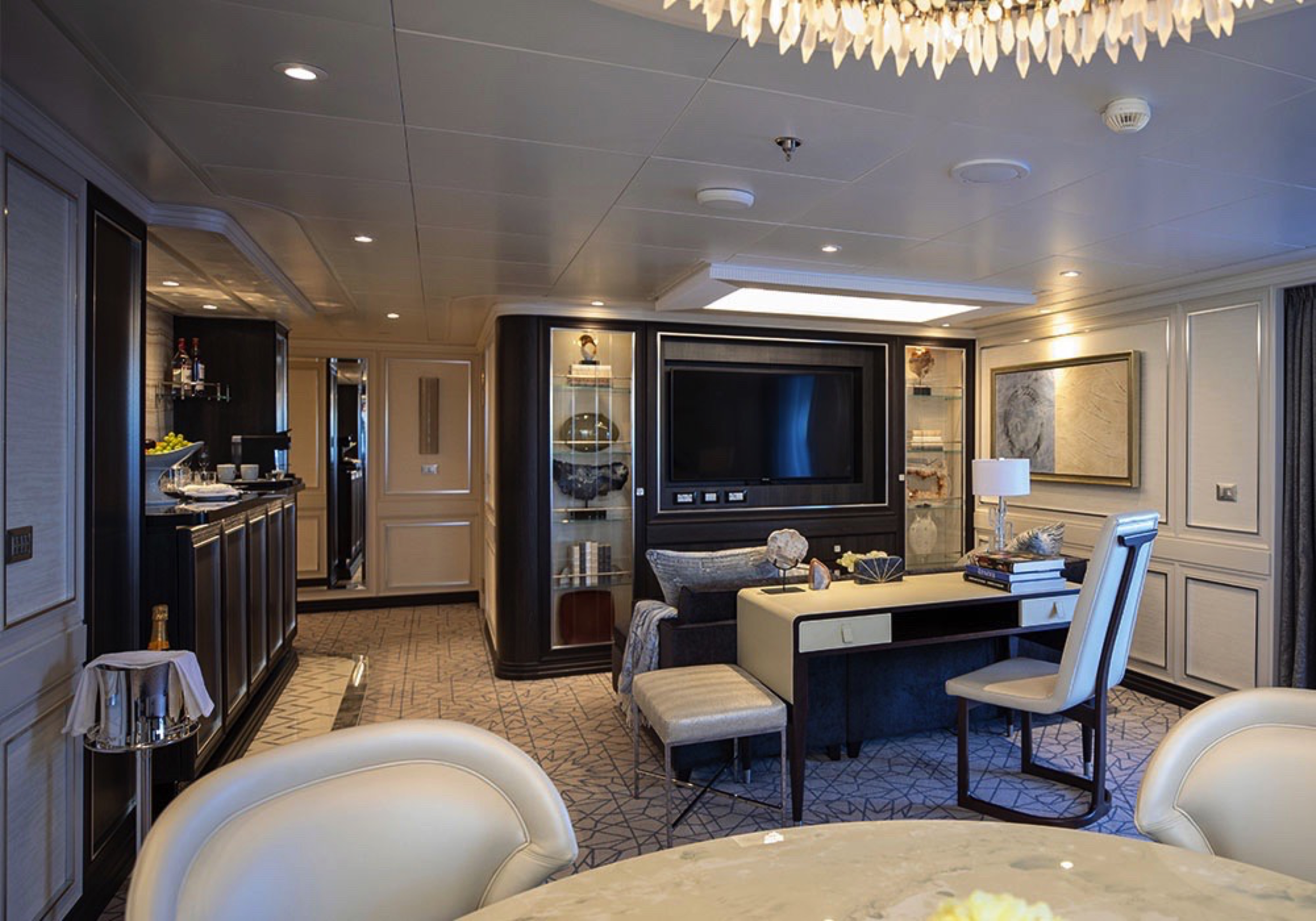
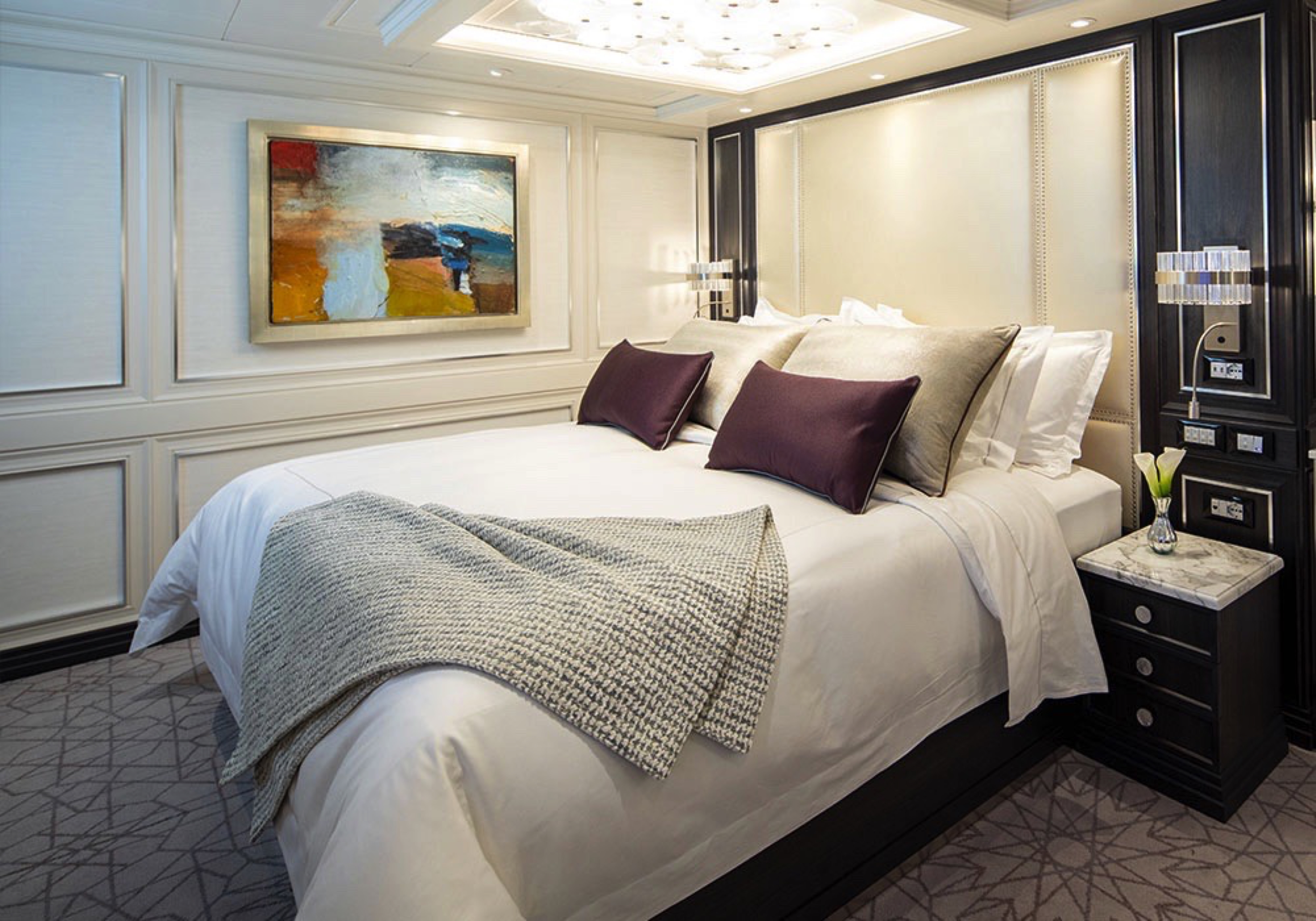
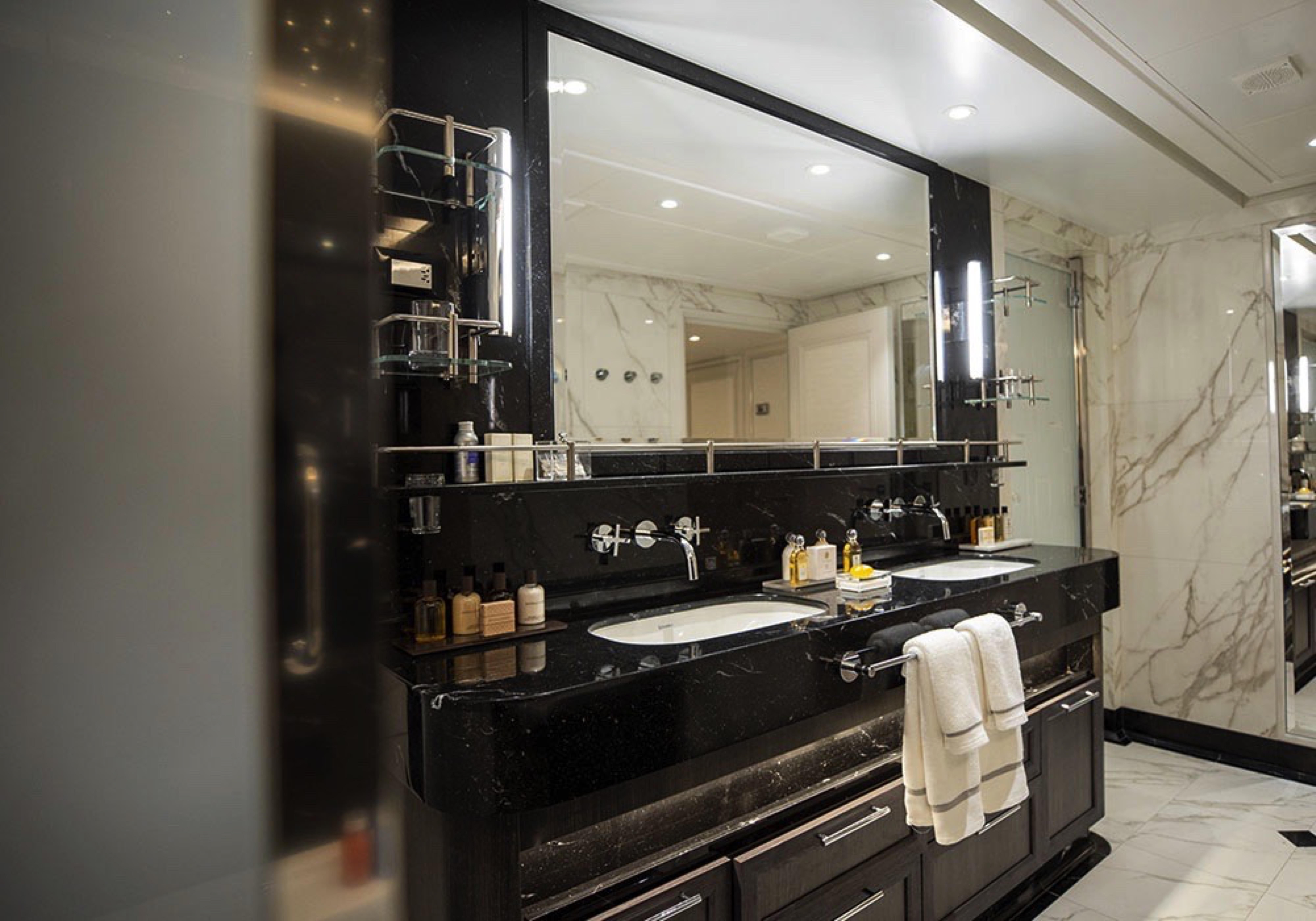
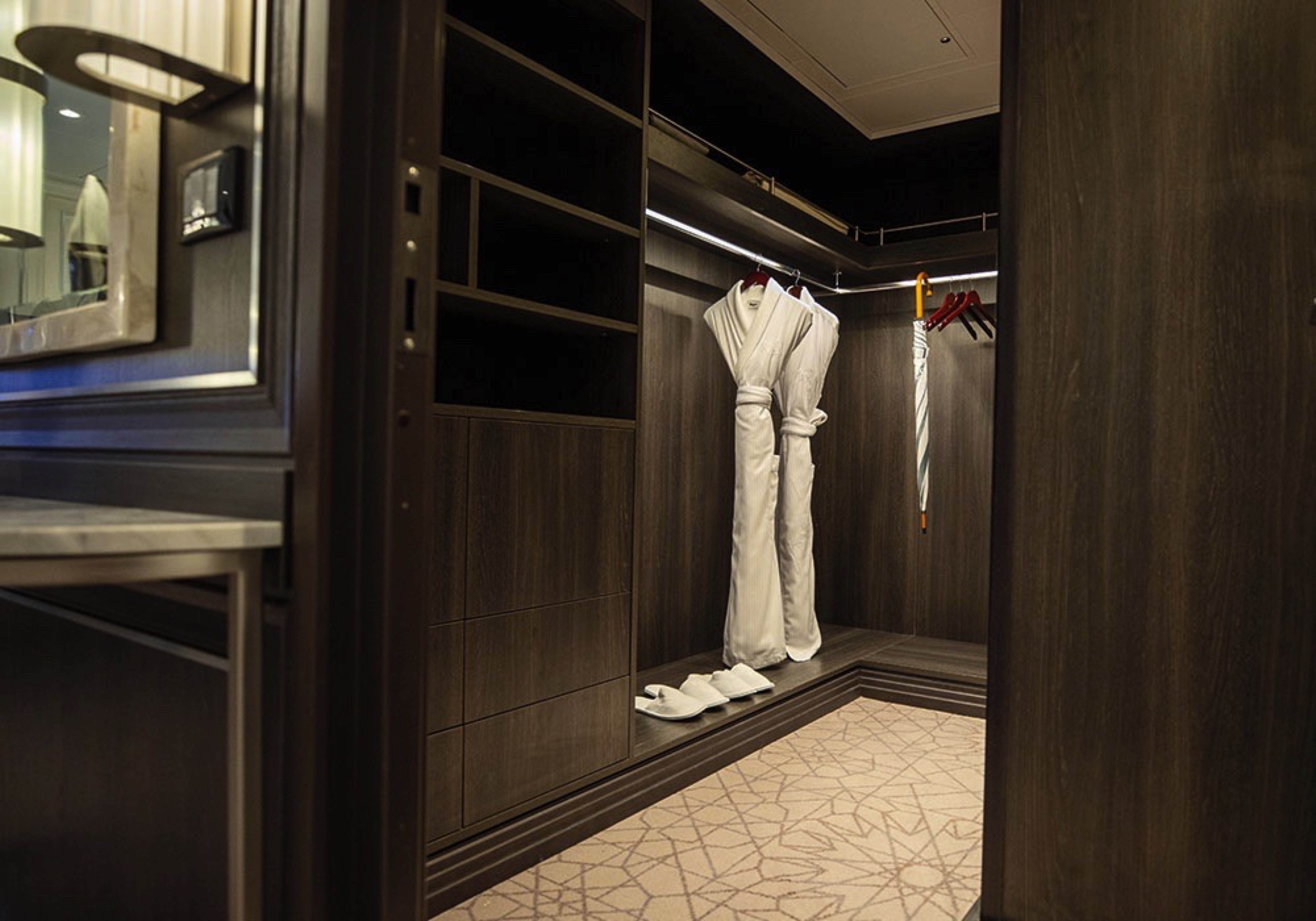

Step into the richness of an emerald green dining area perfectly ensconced within a spacious, sumptuous living room. Just outside is a private balcony with a table and chairs, perfect for in-suite breakfast. The private bedroom is large and inviting, its soothing color palette perfect for a peaceful night’s rest on your King-Size Elite Slumber™ Bed. Two full baths make it a perfect space for entertaining new friends on the high seas.
The suite pictured may differ from the suite booked, as layouts and designs vary by ship, deck, and suite location.
Layout
- 1 Spacious Bedroom with a European King-Size Elite Slumber® Bed (*Bed cannot be converted into two beds.)
- 2 Marble & Stone Detailed Bathrooms
- Private Balcony
- Sitting Area
- Walk-In Closet with Safe
- Accommodates Up To 3 Guests
The suite pictured may differ from the suite booked, as layouts and designs vary by ship, deck, and suite location.
Amenities
- 1-Night Pre-Cruise: Hotel Package Including:
- - Ground Transfers
- - Breakfast
- - Porterage
- Unlimited WiFi Includes up to Four Logins, Four Devices, per Suite
- Valet Laundry Service
- 24-hour In-Suite Dining
- Fresh Orchid Arrangement
- L'Occitane® Jasmin & Bergamot Bath Amenities
- Regent Plush Bathrobe & Slippers
- Interactive Flat-Screen Television & Direct-Dial Satellite Phone
- Priority Access to Online Shore Excursion Reservations
- Priority Access to Online Dining Reservations
- Binoculars
- illy® Espresso Maker
- Cashmere Blankets
- Regent Special Gift
- Vanity & Hair Dryer
- Shoe Shine Service
- Additional Discounts:
- - 10% Discount on Ultra Premium Wine and Liquor
- - 5% Savings on Pre- or Post-Cruise Hotel or Land Programs
- - 5% Savings on Regent Choice Shore Excursions
Additional Grand Suite Amenities:
- Guaranteed Reservation Each Night in Specialty Restaurant of Your Choice
- Welcome Letter from the President and General Manager
- Personal Butler for an Elevated In-suite Experience
- - In-Suite Dining Menu Including Specialty Restaurant Selections During Dining Hours
- Priority Boarding on Embarkation Day with Suite Access at Noon
- Marzotto Cristallo Silk & Cashmere with Fringe Throw
- Welcome Bottle of Premium Champagne
- Personalized In-Suite Full-Liquor Bar Set-Up
- A Sumptuous In-Suite Caviar Service Once During Cruises
- Complimentary In-Suite Cocktail Party for 8
- Complimentary 25-Minute Personal Fitness Session at the Serene Spa & Wellness™ Fitness Center
- Daily Canapés
- Tea Forté Set-Up
- Luxe Fruit Arrangement with Chocolate Leonidas
- Luxurious Designer Bath Amenities & Men's Unscented Shaving Kit
- Dyson Hairdryer
- Selection of Fig & Tea Leaves Bath Salts
- Guerlain Bath Amenities & Men's Unscented Shaving Kit
- Bath Scale Setup
- Bose® SoundLink Mini II Bluetooth Speaker
- Selection of Bed Pillow Styles
- Complimentary Garment Pressing on First Night
- Personalized Stationery upon request
- Elegant Weather Clock
- Excursion Bag
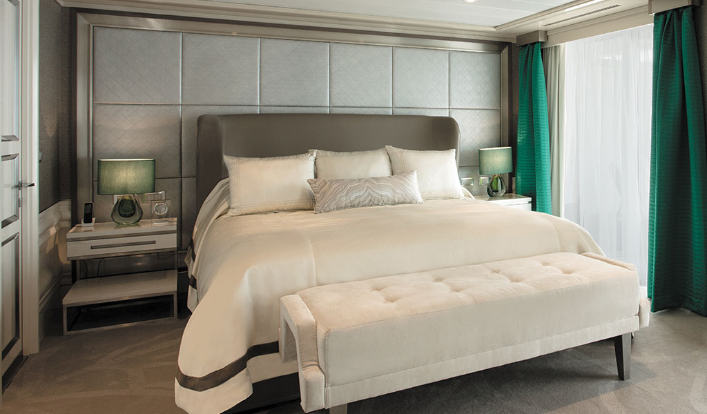
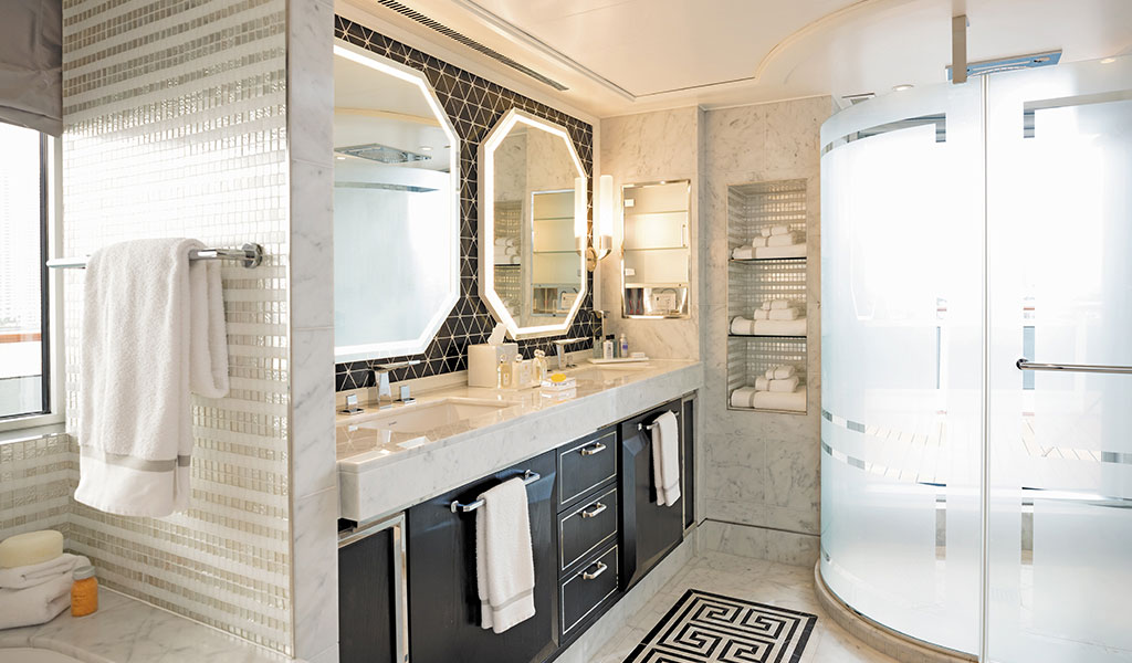
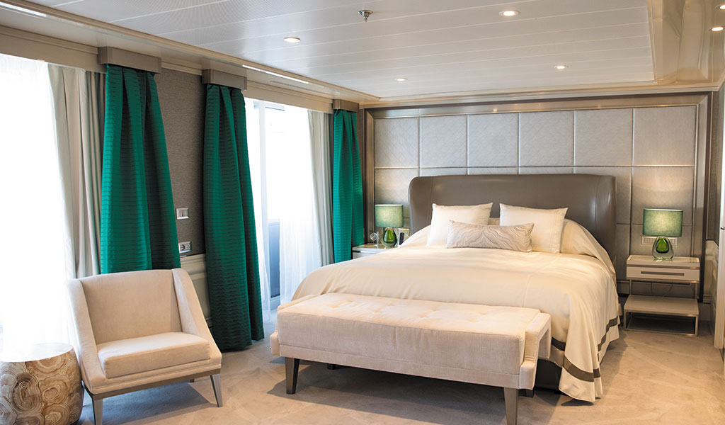
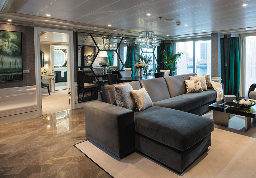
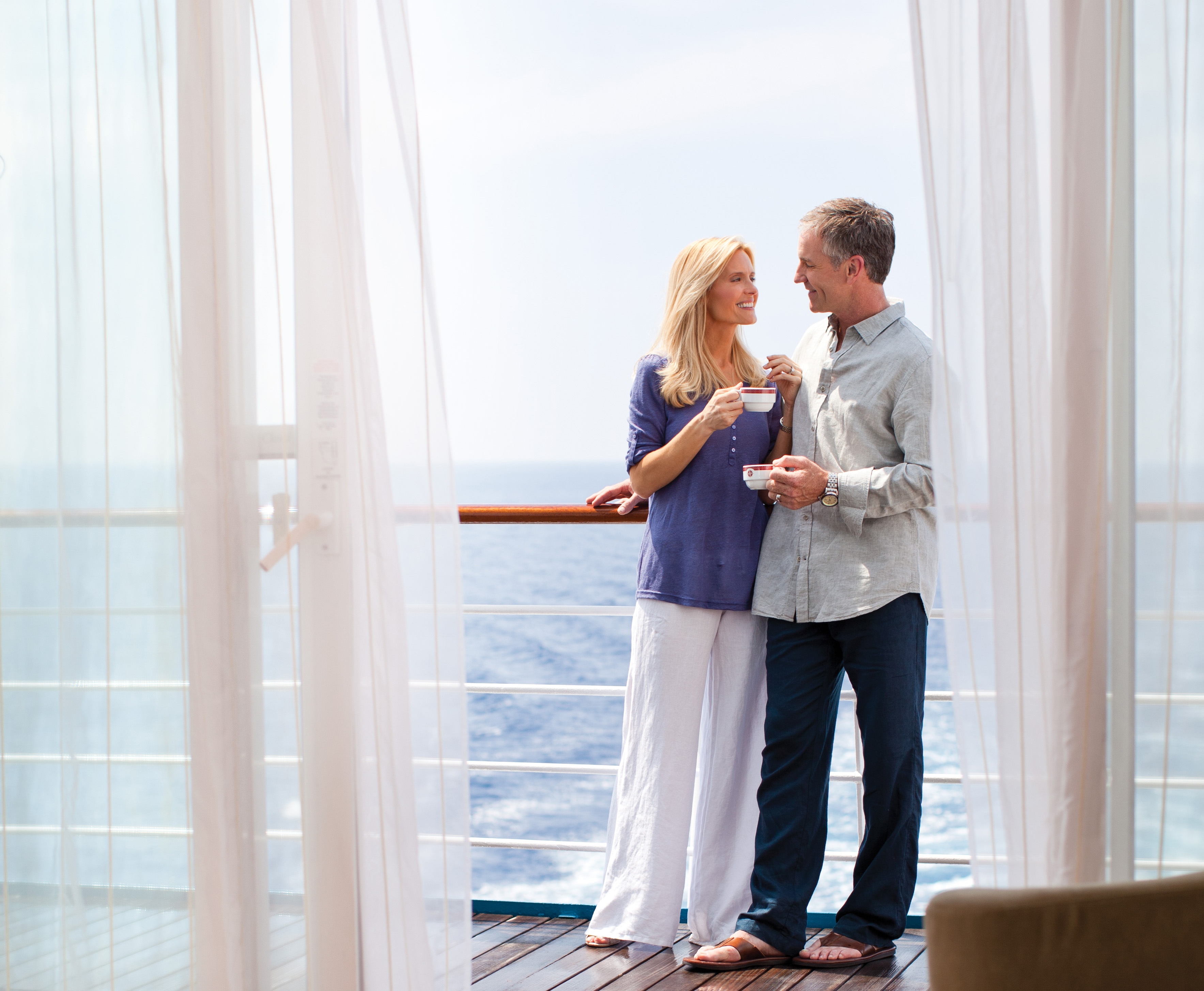
This home away from home is larger than some penthouse apartments, with more than 900 square feet (274.3 meters) of living space that includes a large private balcony. The sleek design provides ample space for relaxing or entertaining, and the walk-in closet comfortably stores your belongings. As if having a personal butler and daily canapés weren’t enough, you’ll also enjoy a personalized full-liquor bar set-up and a sumptuous in-suite caviar service.
Layout
- 1 Spacious Bedroom with a European King-Size Elite Slumber® Bed
- 1 1/2 Marble & Stone Detailed Bathrooms
- Private Balcony
- Sitting Area
- Walk-In Closet with Safe
- Accommodates Up To 3 Guests
The suite pictured may differ from the suite booked, as layouts and designs vary by ship, deck, and suite location.
Amenities
- 1-Night Pre-Cruise: Hotel Package Including:
- - Ground Transfers
- - Breakfast
- - Porterage
- Unlimited WiFi Includes up to Four Logins, Four Devices, per Suite
- Valet Laundry Service
- 24-hour In-Suite Dining
- Fresh Orchid Arrangement
- L'Occitane® Jasmin & Bergamot Bath Amenities
- Regent Plush Bathrobe & Slippers
- Interactive Flat-Screen Television & Direct-Dial Satellite Phone
- Priority Access to Online Shore Excursion Reservations
- Priority Access to Online Dining Reservations
- Binoculars
- illy® Espresso Maker
- Cashmere Blankets
- Regent Special Gift
- Vanity & Hair Dryer
- Shoe Shine Service
- Additional Discounts:
- - 10% Discount on Ultra Premium Wine and Liquor
- - 5% Savings on Pre- or Post-Cruise Hotel or Land Programs
- - 5% Savings on Regent Choice Shore Excursions
Additional Splendor Suite Amenities:
- Welcome Letter from the President and General Manager
- Personal Butler for an Elevated In-suite Experience
- - In-Suite Dining from Compass Rose
- Priority Boarding on Embarkation Day with Suite Access at 1pm
- Welcome Bottle of Premium Champagne
- Personalized In-Suite Full-Liquor Bar Set-Up
- A Sumptuous In-Suite Caviar Service Once During Cruises
- Daily Canapés
- Luxe Fruit Arrangement
- Luxurious Designer Bath Amenities & Men's Unscented Shaving Kit
- Selection of Fig & Tea Leaves Bath Salts
- Guerlain Bath Amenities & Men's Unscented Shaving Kit
- Bath Scale Setup
- Bose® SoundLink Mini II Bluetooth Speaker
- Selection of Bed Pillow Styles
- Complimentary Garment Pressing on First Night
- Personalized Stationery upon request
- Elegant Weather Clock
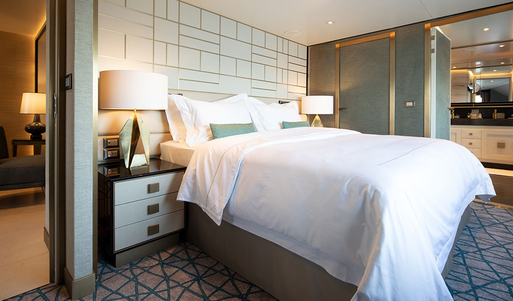
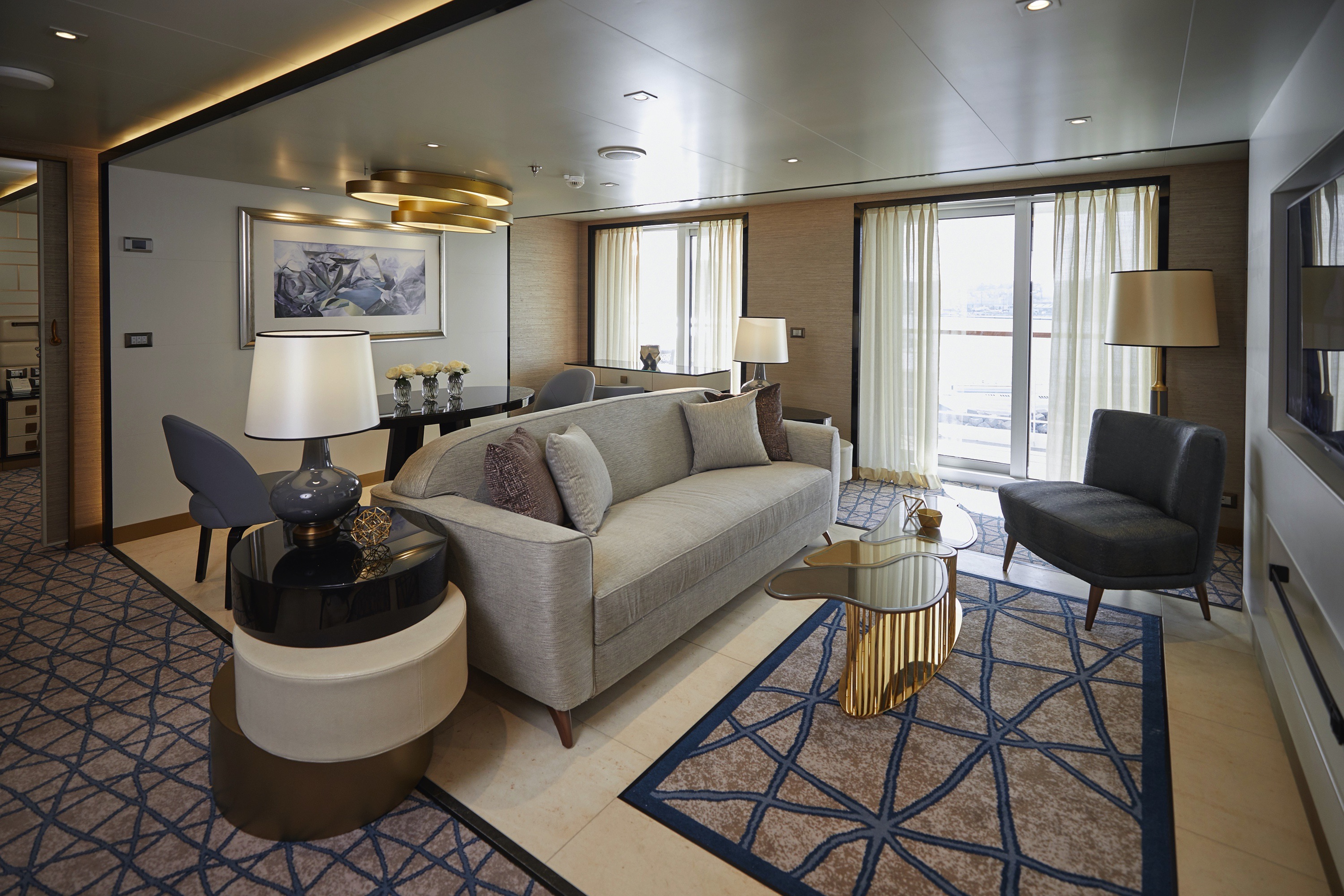

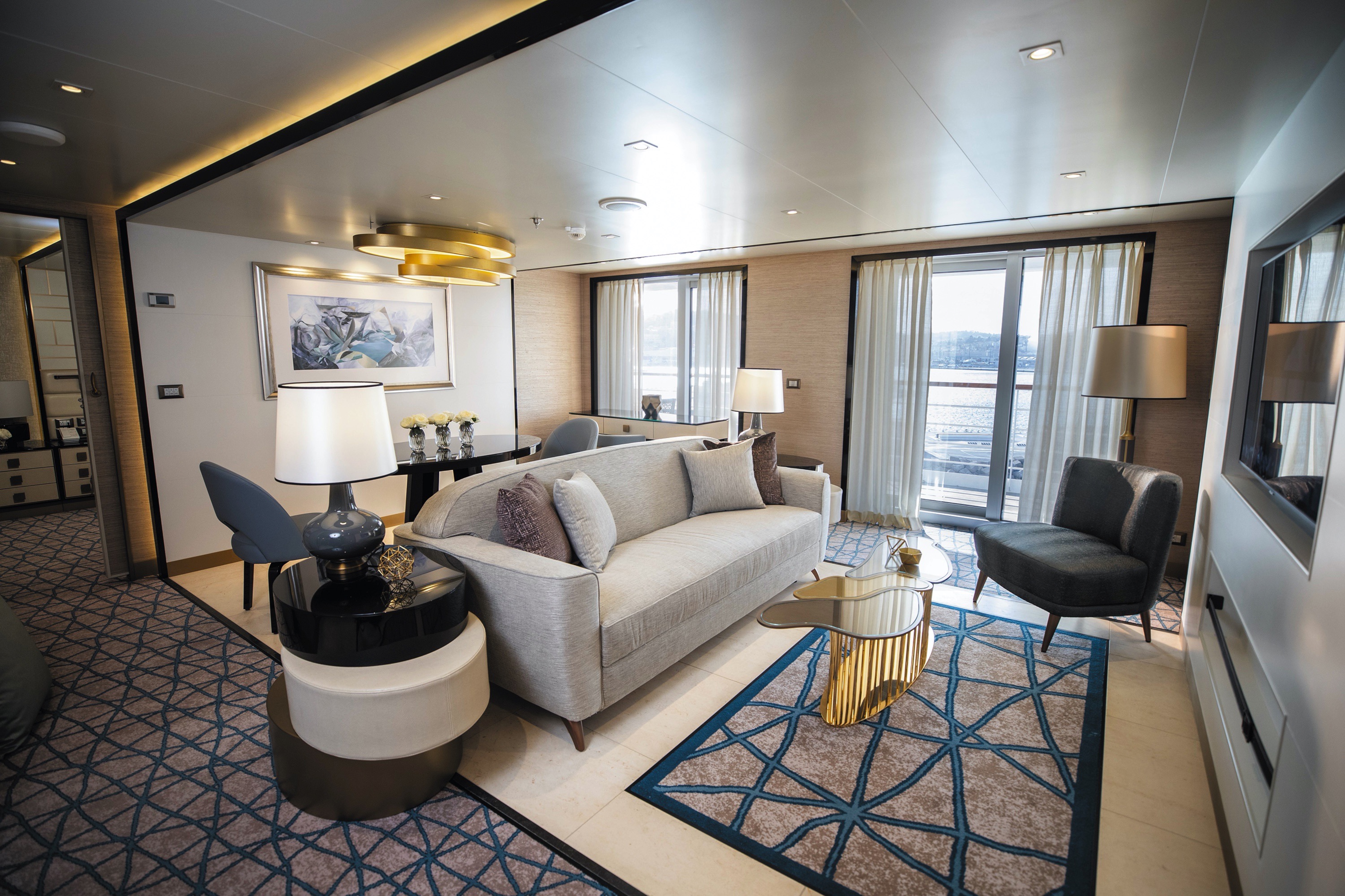
This suite is decorated with soothing colors, pleasing artwork and comfortable furnishings. Relax in the sitting area after an exciting day ashore and enjoy the selection of fresh canapés delivered by your personal butler. Then retreat to your private balcony to watch the ever-changing vistas.
Layout
- 1 Spacious Bedroom with a European King-Size Elite Slumber® Bed
- 1 Marble & Stone Detailed Bathroom
- Private Balcony
- Sitting Area
- Walk-In Closet with Safe
- Accommodates Up To 3 Guests
The suite pictured may differ from the suite booked, as layouts and designs vary by ship, deck, and suite location.
Amenities
- 1-Night Pre-Cruise: Hotel Package Including:
- - Ground Transfers
- - Breakfast
- - Porterage
- Unlimited WiFi Includes up to Four Logins, Four Devices, per Suite
- Valet Laundry Service
- Customizable In-Suite Mini Bar Replenished Daily with Your Preferences
- 24-hour In-Suite Dining
- Fresh Orchid Arrangement
- Luxurious Bath Amenities & Men's Unscented Shaving Kit
- Regent Plush Bathrobe & Slippers
- Interactive Flat-Screen Television & Direct-Dial Satellite Phone
- Priority Access to Online Shore Excursion Reservations
- Priority Access to Online Dining Reservations
- Binoculars
- illy® Espresso Maker
- Cashmere Blankets
- Regent Special Gift
- Vanity & Hair Dryer
- Shoe Shine Service
- Additional Discounts:
- - 10% Discount on Ultra Premium Wine and Liquor
- - 5% Savings on Pre- or Post-Cruise Hotel or Land Programs
- - 5% Savings on Regent Choice Shore Excursions
Additional Seven Seas Suites Amenitie:
- Personal Butler for an Elevated In-suite Experience
- - In-Suite Dining from Compass Rose
- Priority Boarding on Embarkation Day with Suite Access at 1pm
- Daily Canapés
- Luxe Fruit Arrangement
- Luxurious Bath Amenities & Men's Unscented Shaving Kit
- Selection of Fig & Tea Leaves Bath Salts
- Bose® SoundLink Mini II Bluetooth Speaker
- Selection of Bed Pillow Styles
- Complimentary Garment Pressing on First Night
- Personalized Stationery upon request
- Elegant Weather Clock

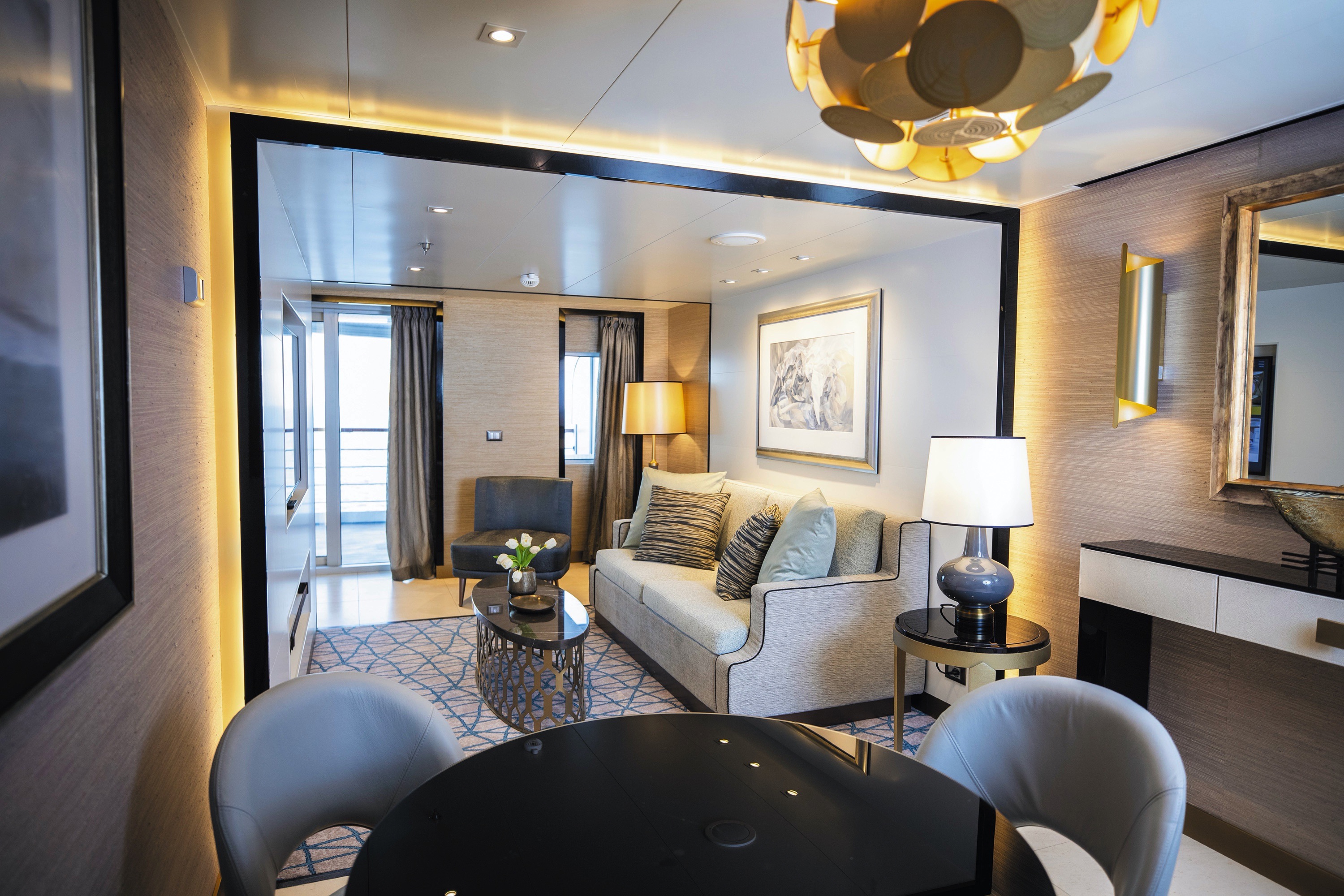

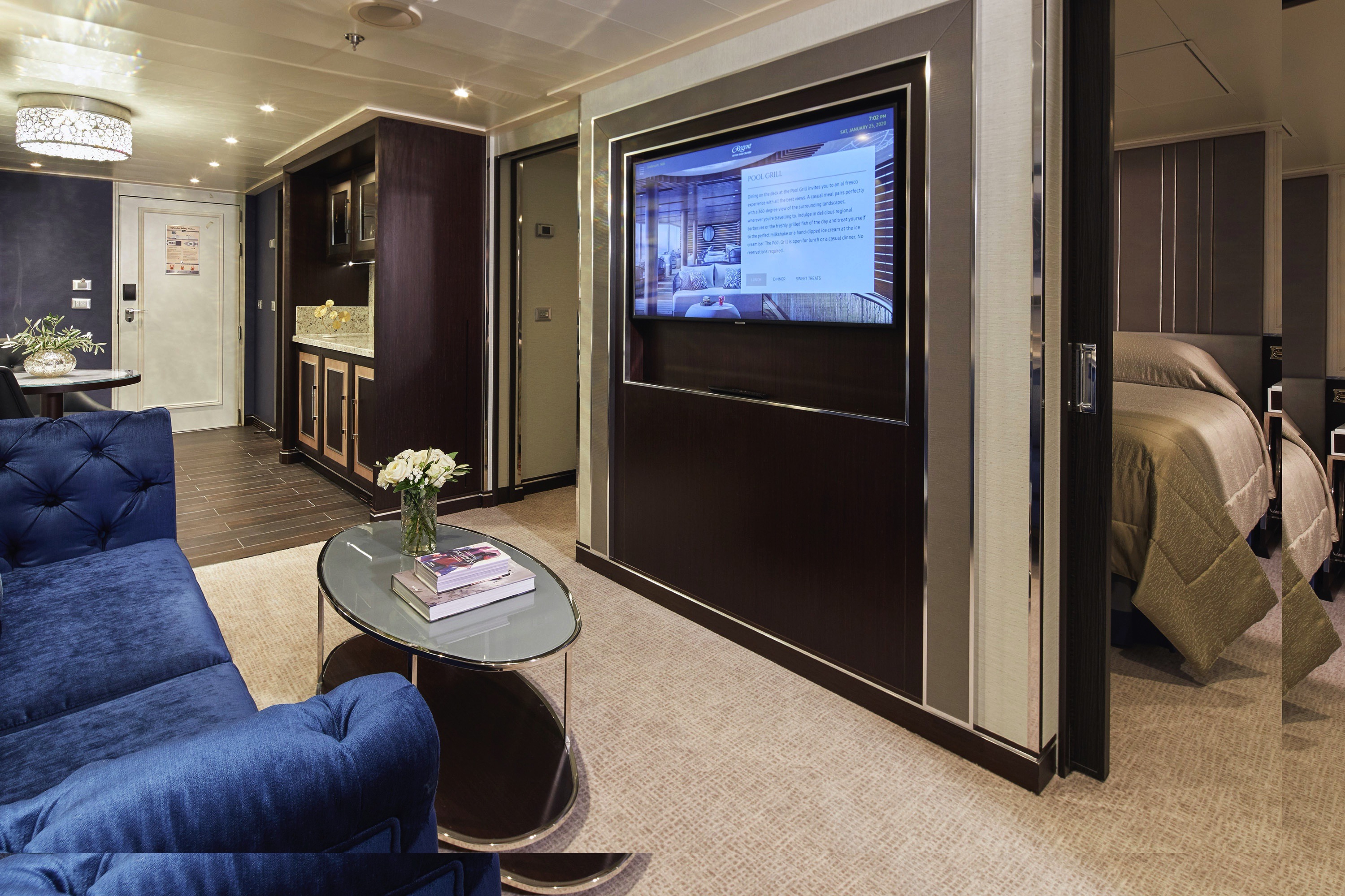
Your personal haven at the end of each day, this luxurious suite has been carefully designed to maximize space and comfort. Relax on your private balcony and indulge in your lavish bath amenities as you recharge and ready yourself for a new adventure in the next port of call. This suite also features a spacious walk-through closet and separated living and bedroom areas that can be closed with pocket doors for privacy.
Layout
- Private Balcony
- Sitting Area
- Marble & Stone Detailed Bathroom Features a Glass-Enclosed Shower Instead of Bathtub
- European King-Size Elite Slumber® Bed
- Walk-In Closet with Safe
- Accommodates Up To 3 Guests
The suite pictured may differ from the suite booked, as layouts and designs vary by ship, deck, and suite location.
Amenities
- 1-Night Pre-Cruise: Hotel Package Including:
- - Ground Transfers
- - Breakfast
- - Porterage
- Unlimited WiFi Includes up to Four Logins, Four Devices, per Suite
- Valet Laundry Service
- Customizable In-Suite Mini Bar Replenished Daily with Your Preferences
- Welcome Bottle of Champagne & Fresh Fruit
- 24-hour In-Suite Dining
- Fresh Orchid Arrangement
- L'Occitane® Jasmin & Bergamot Bath Amenities
- Regent Plush Bathrobe & Slippers
- Interactive Flat-Screen Television & Direct-Dial Satellite Phone
- Priority Access to Online Shore Excursion Reservations
- Priority Access to Online Dining Reservations
- Binoculars
- illy® Espresso Maker
- Cashmere Blankets
- Regent Special Gift
- Vanity & Hair Dryer
- Shoe Shine Service
- Additional Discounts:
- - 10% Discount on Ultra Premium Wine and Liquor
- - 5% Savings on Pre- or Post-Cruise Hotel or Land Programs
- - 5% Savings on Regent Choice Shore Excursions
Additional Penthouse Suite Amenities:
- Personal Butler for an Elevated In-suite Experience
- - In-Suite Dining from Compass Rose
- Daily Canapés
- Luxurious Designer Bath Amenities & Men's Unscented Shaving Kit
- Guerlain Bath Amenities & Men's Unscented Shaving Kit
- Bose® SoundLink Mini II Bluetooth Speaker
- Selection of Bed Pillow Styles
- Complimentary Garment Pressing on First Night
- Personalized Stationery upon request

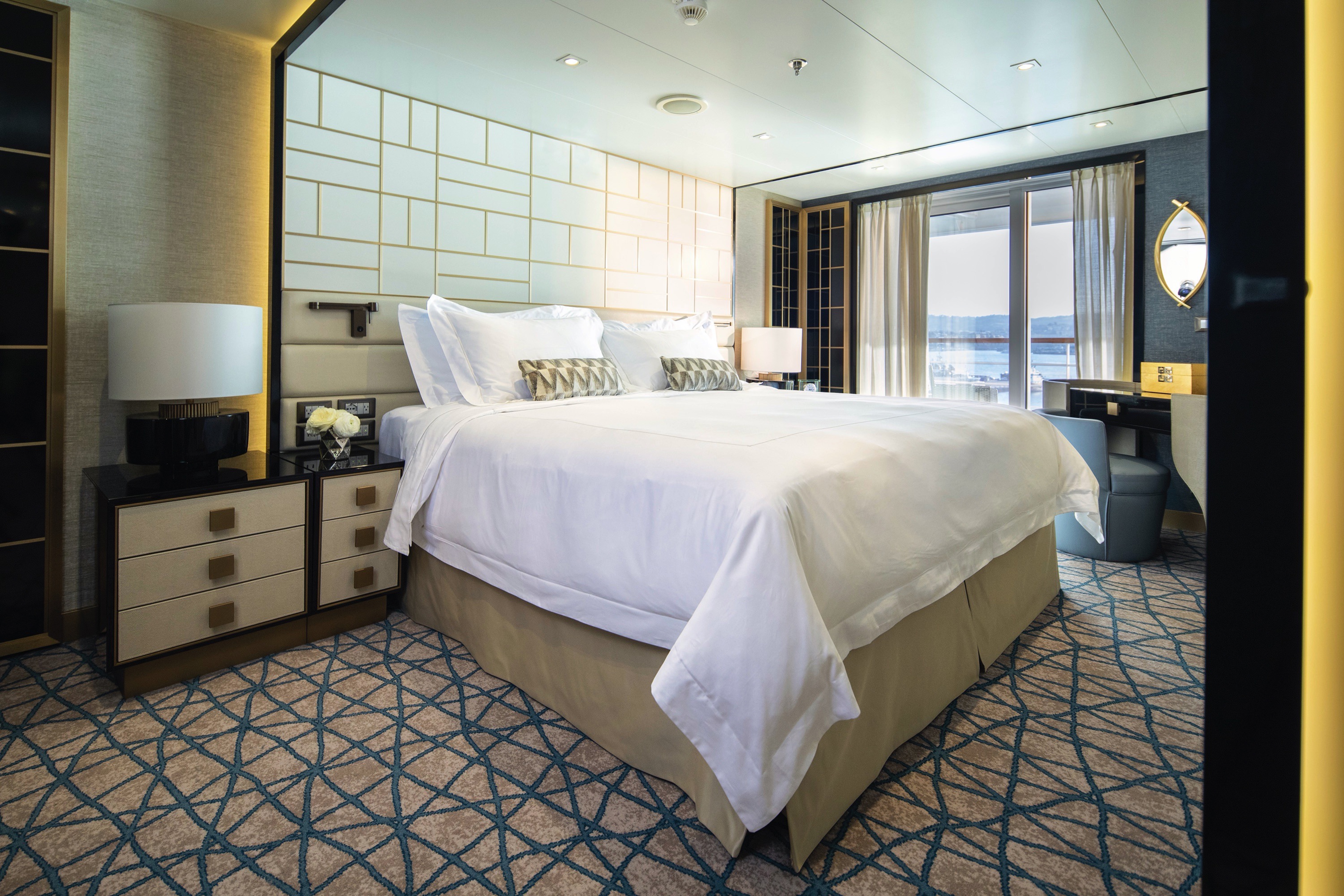
In this superbly designed suite, enjoy once-in-a-lifetime views of the horizon from the comfort of your King-Sized Elite Slumber™ Bed as well as exclusive luxuries available only in suites at the Concierge level and higher. Your suite includes amenities such as an illy® espresso maker and cashmere blankets, perfect for use in the morning when you wish to sip coffee and enjoy an in-suite breakfast on your private balcony.
Layout
- Private Balcony
- Sitting Area
- Marble & Stone Detailed Bathroom
- European King-Size Elite Slumber® Bed
- Walk-In Closet with Safe
- Accommodates Up To 3 Guests
- This category includes Accessibility Options in suites 822 and 823. For more information about accessible suites click here.
The suite pictured may differ from the suite booked, as layouts and designs vary by ship, deck, and suite location.
Amenities
- 1-Night Pre-Cruise: Hotel Package Including:
- - Ground Transfers
- - Breakfast
- - Porterage
- Unlimited WiFi Includes up to Four Logins, Four Devices, per Suite
- Valet Laundry Service
- Customizable In-Suite Mini Bar Replenished Daily with Your Preferences
- Welcome Bottle of Champagne & Fresh Fruit
- 24-hour In-Suite Dining
- Fresh Orchid Arrangement
- L'Occitane® Jasmin & Bergamot Bath Amenities
- Regent Plush Bathrobe & Slippers
- Interactive Flat-Screen Television & Direct-Dial Satellite Phone
- Priority Access to Online Shore Excursion Reservations
- Priority Access to Online Dining Reservations
- Binoculars
- illy® Espresso Maker
- Cashmere Blankets
- Regent Special Gift
- Vanity & Hair Dryer
- Shoe Shine Service
- Additional Discounts:
- - 10% Discount on Ultra Premium Wine and Liquor
- - 5% Savings on Pre- or Post-Cruise Hotel or Land Programs
- - 5% Savings on Regent Choice Shore Excursions
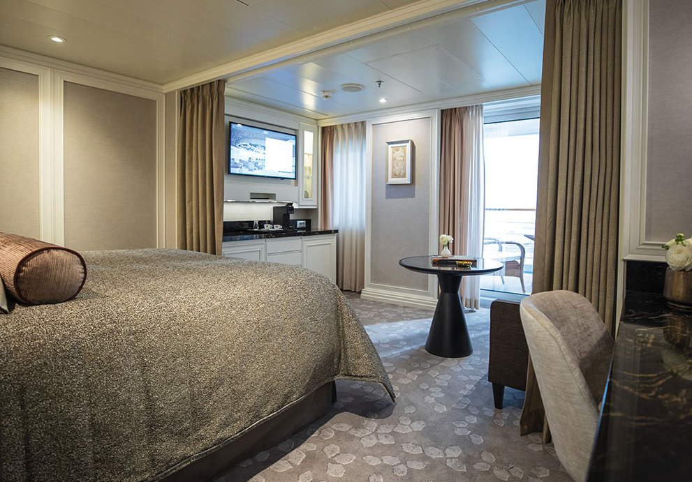
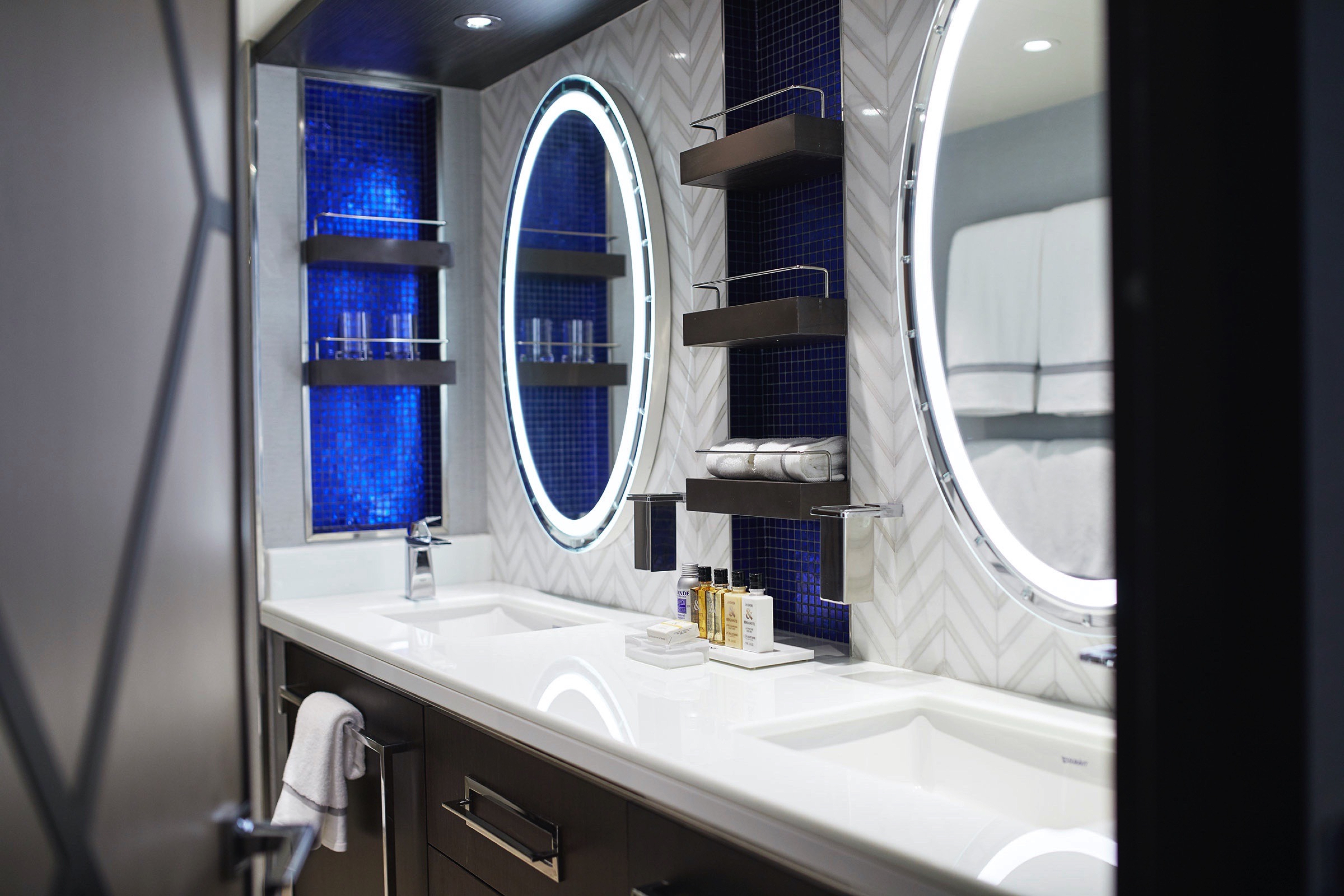
With more than 400 square feet of space including a private balcony, this suite is an excellent choice if you want a little extra room. Even your sleeping accommodations are spacious, as the Elite Slumber™ bed is a European king-size and faces floor-to-ceiling windows that provide ocean views from your bed. A walk-in closet, dual sinks in the bathroom and wonderful bath amenities make it a pleasure to prepare for your day’s adventures.
Layout
- Private Balcony
- Sitting Area
- Marble & Stone Detailed Bathroom
- European King-Size Elite Slumber® Bed
- Walk-In Closet with Safe
- Accommodates Up To 3 Guests
The suite pictured may differ from the suite booked, as layouts and designs vary by ship, deck, and suite location.
Amenities
- Unlimited WiFi Includes Two Logins, Two Devices, per Suite
- Valet Laundry Service
- Customizable In-Suite Mini Bar Replenished Daily with Your Preferences
- Welcome Bottle of Champagne & Fresh Fruit
- 24-hour In-Suite Dining
- Fresh Orchid Arrangement
- L'Occitane® Jasmin & Bergamot Bath Amenities
- Regent Plush Bathrobe & Slippers
- Interactive Flat-Screen Television & Direct-Dial Satellite Phone
- Vanity & Hair Dryer
- Shoe Shine Service
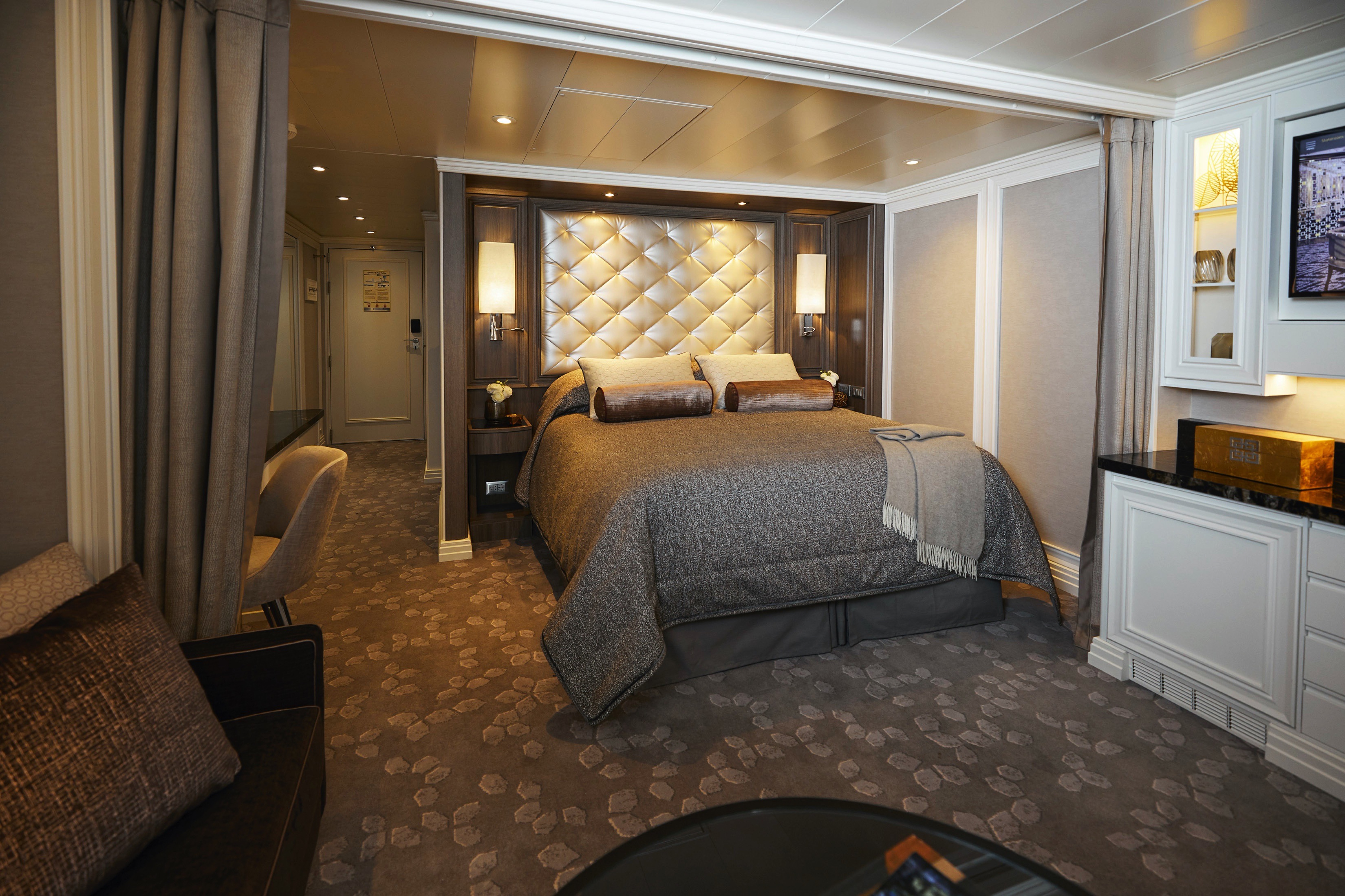
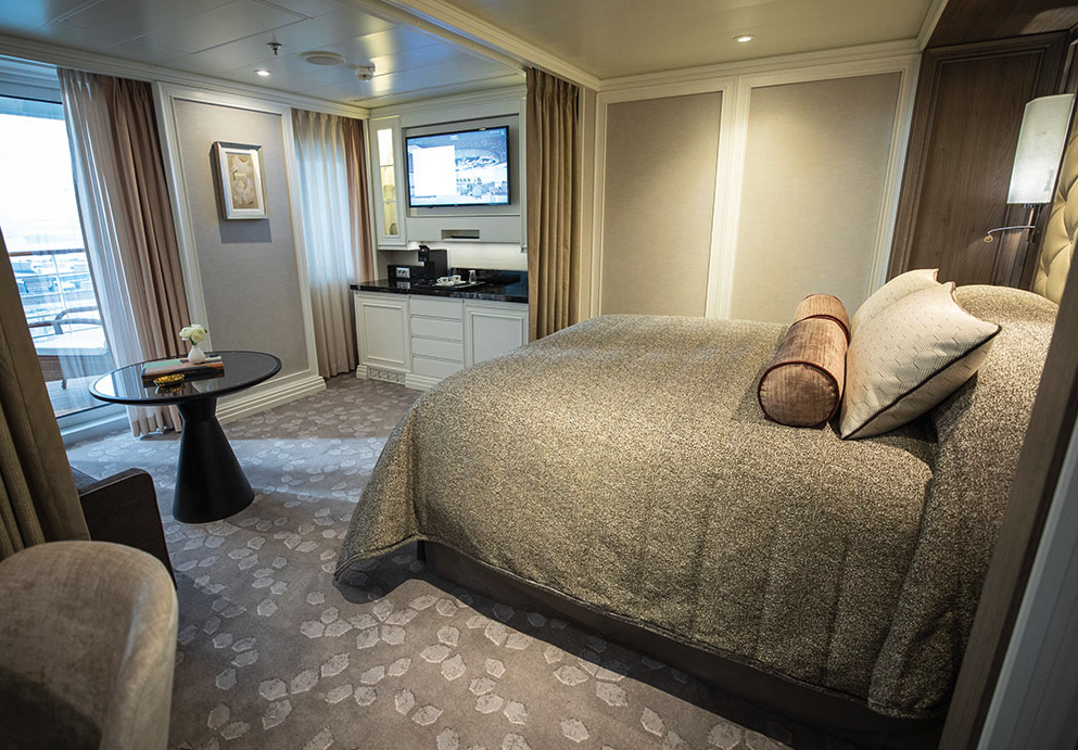
Every inch of this suite has been thoughtfully designed to maximize interior space and embrace the magnificent scenery outdoors. From the sitting area, admire the ocean views through the floor-to-ceiling windows, or better yet, take a seat outside on your private balcony to watch the world go by. Elegant finishes such as luxurious bedding and beautiful marble detailing in the bath further enhance your comfort.
Layout
- Private Balcony
- Sitting Area
- Marble & Stone Detailed Bathroom Features a Glass-Enclosed Shower Instead of Bathtub
- European Queen-Size Elite Slumber® Bed
- Walk-In Closet with Safe
- Accommodates Up To 2 Guests
The suite pictured may differ from the suite booked, as layouts and designs vary by ship, deck, and suite location.
Amenities
- Unlimited WiFi Includes Two Logins, Two Devices, per Suite
- Valet Laundry Service
- Customizable In-Suite Mini Bar Replenished Daily with Your Preferences
- Welcome Bottle of Champagne & Fresh Fruit
- 24-hour In-Suite Dining
- Fresh Orchid Arrangement
- L'Occitane® Jasmin & Bergamot Bath Amenities
- Regent Plush Bathrobe & Slippers
- Interactive Flat-Screen Television & Direct-Dial Satellite Phone
- Vanity & Hair Dryer
- Shoe Shine Service
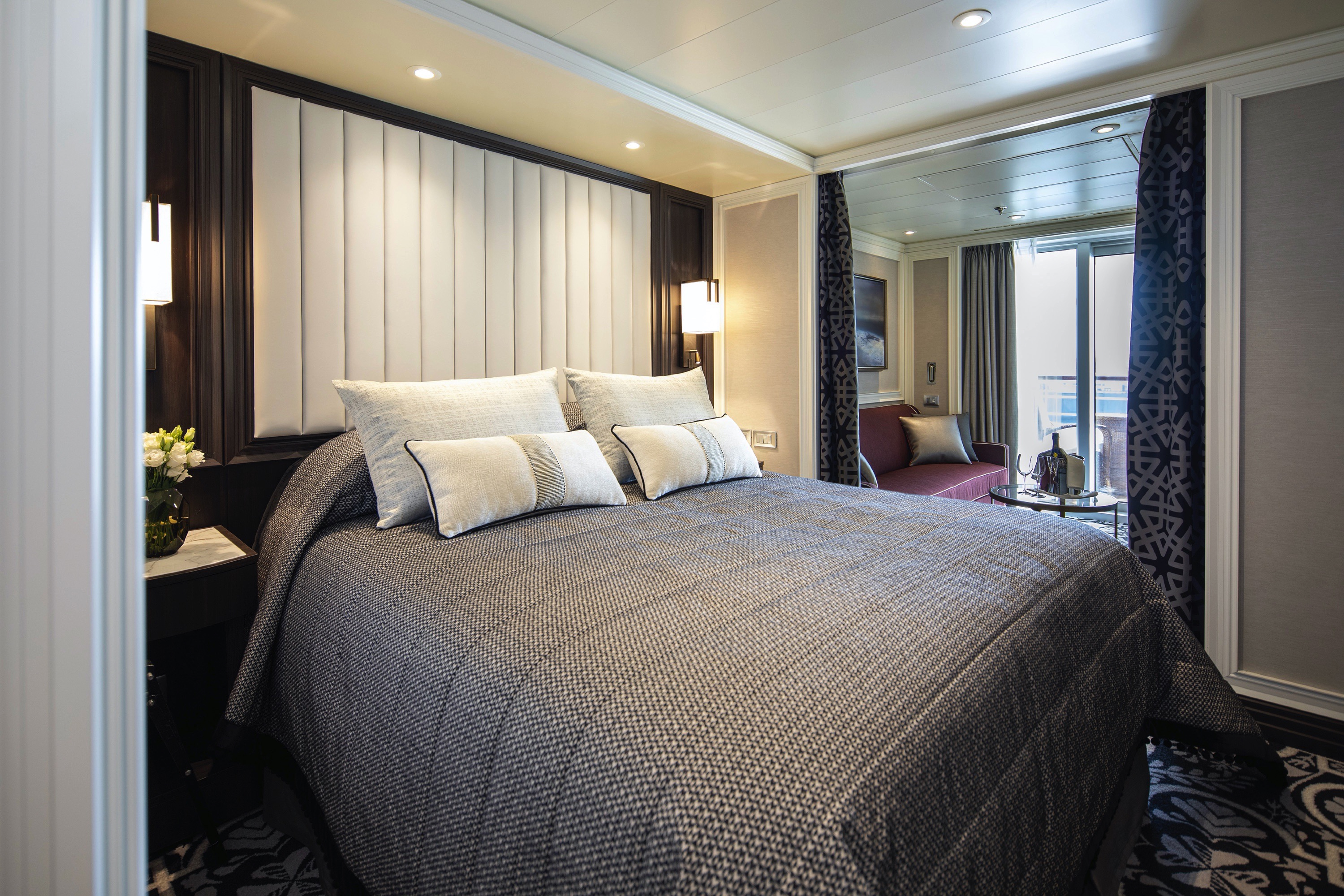
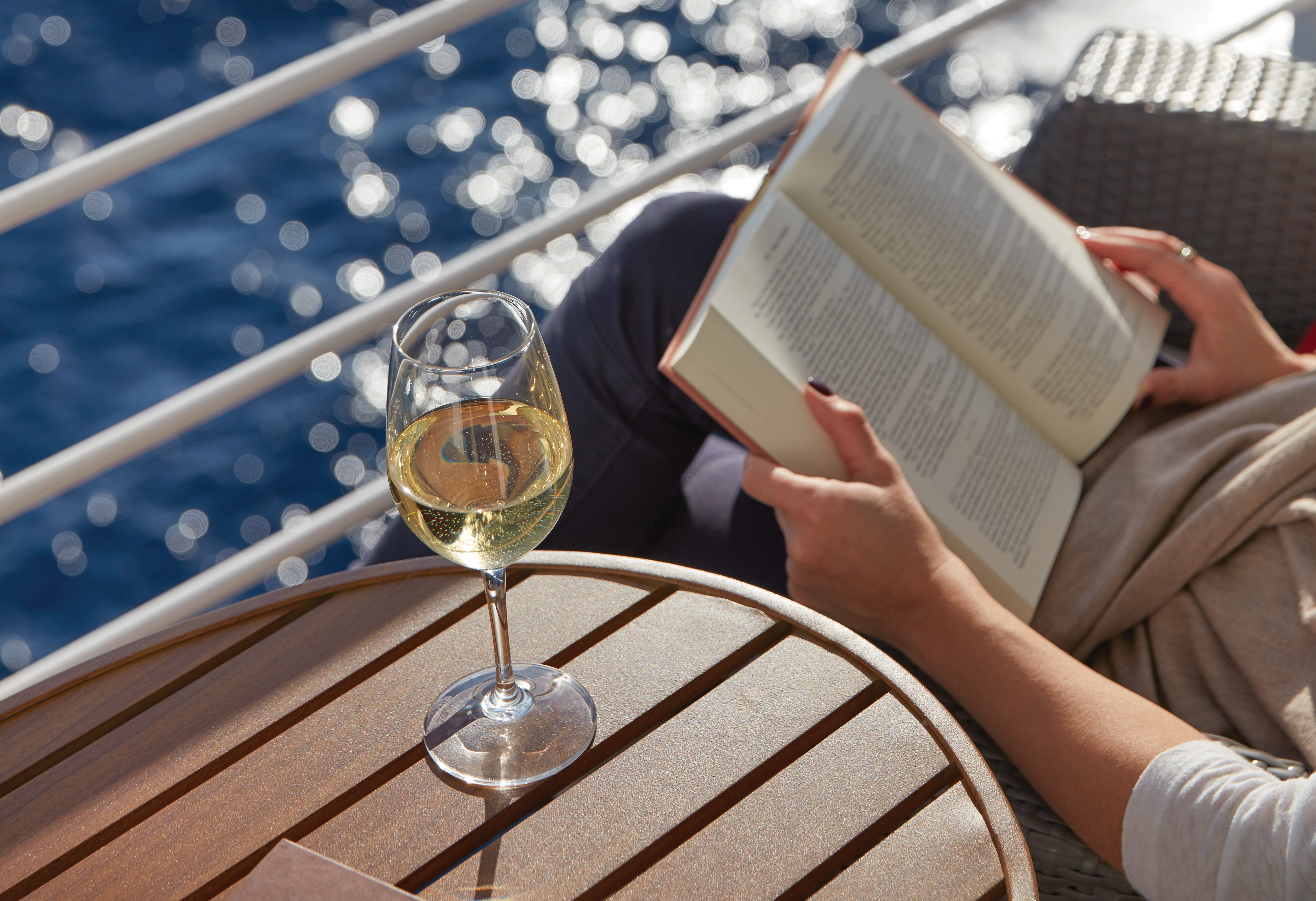
A wonderfully cozy retreat that includes a private balcony. In addition to a signature European Queen Size Elite Slumber™ bed, you’ll enjoy amenities such as lavish bath products, an interactive flat-screen television and a plush bathrobe and slippers. The intimate sitting area includes a table that is the perfect size for breakfast for two or a couple of glasses and a bottle of celebratory Champagne.
Layout
- Private Balcony
- Sitting Area
- Marble & Stone Detailed Bathroom Features a Glass-Enclosed Shower Instead of Bathtub
- European Queen-Size Elite Slumber® Bed
- Built-In Closet with Safe
- Accommodates Up To 2 Guests
The suite pictured may differ from the suite booked, as layouts and designs vary by ship, deck, and suite location.
Amenities
- Unlimited WiFi Includes Two Logins, Two Devices, per Suite
- Valet Laundry Service
- Customizable In-Suite Mini Bar Replenished Daily with Your Preferences
- Welcome Bottle of Champagne & Fresh Fruit
- 24-hour In-Suite Dining
- Fresh Orchid Arrangement
- L'Occitane® Jasmin & Bergamot Bath Amenities
- Regent Plush Bathrobe & Slippers
- Interactive Flat-Screen Television & Direct-Dial Satellite Phone
- Vanity & Hair Dryer
- Shoe Shine Service

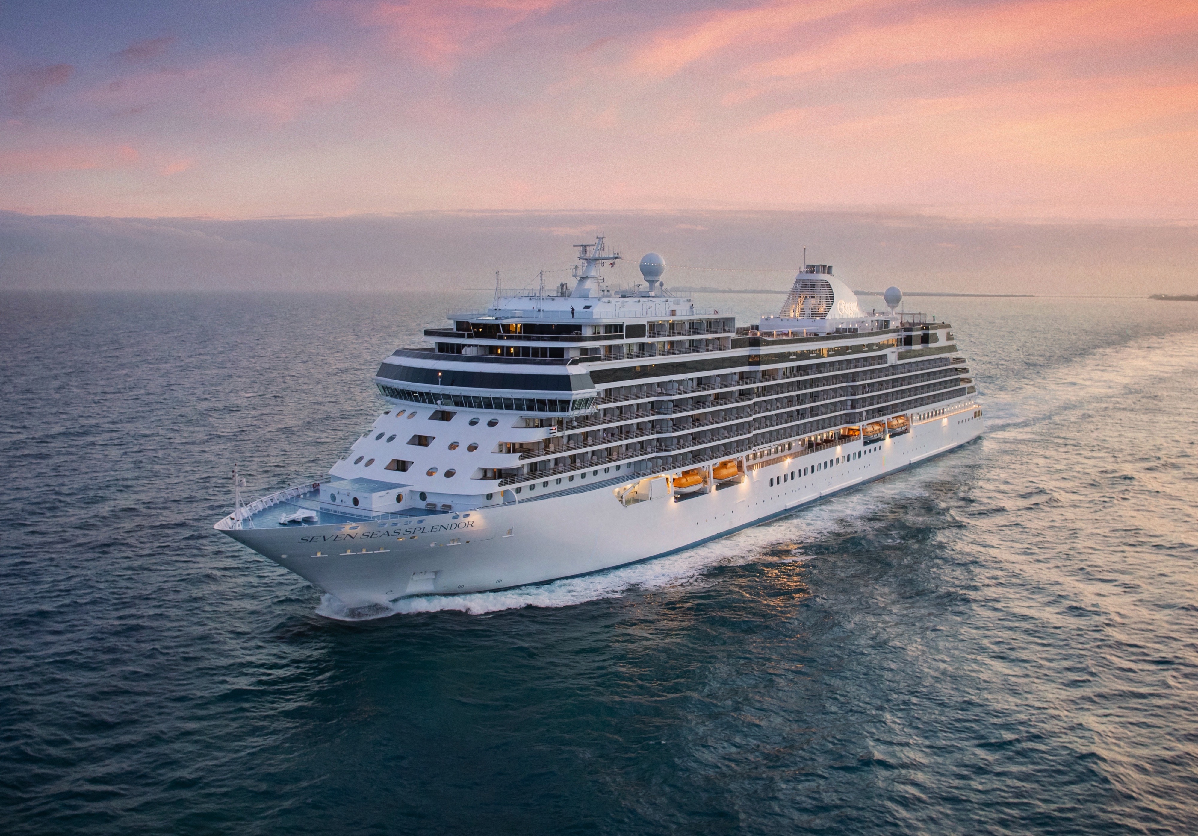
Seven Seas Splendor
Seven Seas Splendor® is luxury perfected. From her elegant décor to the crowning Regent Suite, every space is elevated to the utmost.
Perfection is in the details. Discover the intricate beauty and marvellous design of Seven Seas Splendor® as we unveil some of the refinements and wonders that went into creating luxury perfected. From her grand social spaces to the private balconies adorning every suite, Seven Seas Splendor is a work of art from bow to stern.
Your time on board Seven Seas Splendor® will be just as rewarding as your time spent ashore. Check out the deck plans to discover where to take enrichment classes, do some shopping, enjoy a cocktail and savor a fine meal.
Ship Facts
| Launch Year | 2020 | ||||
| Refit Year | |||||
| Language | en | ||||
| Gross Tonnage | 55498 | ||||
| Length | 224 | ||||
| Width | 31 | ||||
| Currency | USD | ||||
| Speed | 19 | ||||
| Capacity | 746 | ||||
| Crew Count | 548 | ||||
| Deck Count | 10 | ||||
| Cabin Count | 373 | ||||
| Large Cabin Count | 5 | ||||
| Wheelchair Cabin Count | 2 | ||||
| Electrical Plugs |
|
Deck 14
- Regent Suite
- Penthouse Suites
- Concierge Suites

Deck 12
- Putting Green
- Paddle Tennis Court
- Bocce Court
- Shuffleboard
- Golf Net
- Sports Deck
- Jogging Track
- Grand Suites
- Splendor Suites
- Penthouse Suites
- Concierge Suites

Deck 11
- La Veranda
- Sette Mari at La Veranda
- Pool Bar
- Pool Grill
- Pool
- Culinary Arts Kitchen
- Library
- Connoisseur Club
- Card Room
- Observation Lounge

Deck 10
- The Study
- Prime 7
- Chartreuse
- Bridge
- Grand Suites
- Concierge Suites
- Splendor Suites
- Penthouse Suites
- Serenity Suites

Deck 9
- Serenity Suites
- Grand Suites
- Splendor Suites
- Penthouse Suites
- Concierge Suites
- Signature Suites
- Deluxe Veranda Suites
- Launderettes

Deck 8
- Serenity Suites
- Seven Seas Suites
- Penthouse Suites
- Concierge Suites
- Superior Suites
- Deluxe Veranda Suites
- Signature Suites
- Launderette

Deck 7
- Grand Suites
- Seven Seas Suites
- Penthouse Suites
- Concierge Suites
- Superior Suites
- Veranda Suites
- Deluxe Veranda Suites

Deck 6
- Fitness Centre
- Concierge Suites
- Penthouse Suites
- Deluxe Veranda Suites
- Veranda Suites
- Launderette

Deck 5
- Atrium
- Coffee Connection
- Constellation Theater
- Infinity-Edge Plunge Pool
- Meridian Lounge
- Pacific Rim
- Serene Spa & Wellness
- Destination Services
- Reception & Concierge
- Business Centre
- General Manager

Deck 4
- Atrium
- Boutiques
- The Casino
- Compass Rose
- Constellation Theatre
- Splendor Lounge

The detail attended to and the artistry displayed in every meal echoes the excellence achieved aboard Seven Seas Splendor®. Our chefs will amaze you as they put their hearts and souls into creating each masterpiece of epicurean delight.
Coffee Connection
So much more than a great spot for coffee – this specially designed Coffee Connection is a chic metropolitan café with an ocean view that’s impossible to beat.
Sitting and chatting with newfound friends over barista-made coffee has long been a favourite pastime for our guests. Aboard Seven Seas Splendor™ you can now do so in an expanded outdoor section. Our chic metropolitan café with an elegant interior of muted pastels and crisp whites now seamlessly transitions to trendy al fresco seating, where you can sit and chat with clear views of the shimmering sea.
Prime 7
From perfectly aged prime New York strip, porterhouse and succulent filet mignon to smoked salmon with a phenomenal tamarind-whiskey sauce, Prime 7 elevates classic American fare to lofty heights.
A true classic in every sense, Prime 7 sets a new standard in steakhouse fare with its contemporary interpretation of an American classic. Handsomely decorated with supple leather wing-back chairs, burnished woods and rich earth-toned fabrics, Prime 7 exudes a distinct, intimate elegance. This is sophistication redefined, a luxurious setting to enjoy classic steakhouse cuisine with a modern flair.
All the traditional starters are here, including Jumbo Lump Crab Cakes, Classic Steak Tartare, and Clam Chowder. Of course, beef is the undisputed star, and it is aged for a minimum of 40 days to ensure the ultimate tenderness and juiciness. New York Strip, Porterhouse Steak and succulent Filet Mignon only touch upon the selections. Mouthwatering alternatives include Applewood Smoked Salmon and Dover Sole.
Reservations Required
Chartreuse
Classic French fare with a modern twist – and glorious ocean views. If Chartreuse seems familiar, you may have once stumbled upon a chic, fine-dining restaurant on a Champs-Elysees sidestreet. A fantasy you can taste.
Chartreuse evokes memories of a chic Parisian fine dining restaurant discovered during an evening stroll. Wherever you are seated in this regal restaurant, you will be treated to a succulent dinner while enjoying incredible ocean views. The restaurant ambiance is complemented by a menu that features modern French dishes. Available on Seven Seas Grandeur™, Seven Seas Splendor®, Seven Seas Explorer®, Seven Seas Mariner® and Seven Seas Voyager® with reservations each evening for dinner, and open for lunch on Seven Seas Explorer on alternate port days. French bistro style food is offered.
Reservations Required
La Veranda
Greet your days on the high seas with sumptuous breakfasts and shimmering ocean views. La Veranda features quiet alcoves, made-to-order omelettes and, for late risers, tasty lunch buffets that include hot carving stations.
Take in stunning ocean views while enjoying elegant breakfast and lunch buffets in the chic indoor dining room or al fresco on the shaded, open-air deck. Breakfasts include traditional favorites, as well as a made-to-order omelet station, a variety of fresh fruits and pastries, along with daily specials, like fluffy Belgian waffles with fresh blueberry compote. For lunch indulge in an array of choices from a bountiful salad bar, gourmet sandwiches, hot carving stations and delicious desserts.
Pacific RIm
Prepare to be delighted by a perfect balance of delicious flavours and Zen-like ambiance. Amid dimly lit architectural details and lotus-shaped windows, dine Pan-Asian creations like Korean barbecue lamb chops and wok-fried beans.
Discover and devour Pan-Asian culinary traditions. Featuring intricate architectural details, wood carvings and an immense art installation of a mythical dragon, Pacific Rim will delight with a perfect balance of flavours and Zen-like ambiance. The menu brings life to rich culinary traditions, from the enhanced smoking presentation of dry ice sashimi and the sweet and spicy medley of sauces with a re-imagined duck spring roll.
Compass Rose
Our largest specialty restaurant on a ship full of spectacular dining options. Design your very own entrée from preferred sides, sauces, pastas and main features of beef, poultry and fish. Dessert? Decadent, of course.
We are pleased to re-introduce the elegantly enhanced Compass Rose, the largest specialty restaurant across our fleet. Ensuring a tantalizing mix of new and familiar items on every visit, the new lunch and dinner menus offer a vast selection to meet your discerning tastes. Exclusively aboard Seven Seas Mariner®, Seven Seas Voyager®, and Seven Seas Navigator® for lunch, you may choose from a robust list of appetizers and main courses from our specialty restaurants. And across our fleet for dinner, you have the unique ability to design your very own entrée from preferred sides, sauces, pastas and main features of beef, poultry and fish. This is in addition to sinfully indulgent desserts made by talented bakers and pastry chefs. With daily changing menus, the refreshed Compass Rose offers more choices than ever before.
Pool Grill
Al fresco dining with views of the world’s best-loved landscapes. Be inspired by the environs around Seven Seas Splendor™ while enjoying cuisines that include regional barbecues and old-fashioned desserts.
The Pool Grill is truly a come-as-you-are venue. Enjoy this casual dining experience whether you’re getting a bite after sunbathing or swimming in the pool. The Pool Grill is open-air, yet abundantly shaded for comfortable dining at lunch or dinner. Enjoy grilled-to-order burgers, grilled seafood, sandwiches, and fresh salads. Treat yourself to milkshakes and malts or an old-fashioned hand-dipped ice cream dessert with toppings.
Room Service
Knowing that guests sometimes prefer to simply dine in the comfort of their suites, we offer room service around the clock. Select from an extensive room service menu and the wait staff will promptly serve your order in the comfort of your suite. During normal dining hours, guests may also order from the Compass Rose menu, which changes daily and features Continental, vegetarian, and kosher cuisines. Dinners will be graciously served course-by-course.
Sette Mari at La Veranda
Settle into cozy, over-water alcoves for classic Italian specialties made with care. From old-school classics to modern cuisine, your Sette Mari meal will linger long as a perfect combination of atmosphere and flavour.
Wherever you’re voyaging, you’ll never be far from enjoying perfectly prepared Italian dishes in stunning, over-water alcoves. Choose from authentic Italian specialties inspired by family recipes that span generations, or opt for something with a modern twist like a spice-crusted tuna steak with braised endive, polenta and salmoriglio. Savour it all with a perfectly paired Tuscan wine as you watch stars shine on the ocean below.
The Study
Guests of the most luxurious suite on the high seas — the Regent Suite on Seven Seas Splendor® — have exclusive access to The Study, a private, ornately decorated dining room that seats up to 12 guests.
In an atmosphere that’s reminiscent of a personal library in an elegant, stately home, Regent Suite guests may gather in The Study to privately dine on meals from the adjacent Chartreuse and Prime 7 restaurants. Such an exclusive opportunity further establishes the Regent Suite on Seven Seas Splendor™ as the pre-eminent luxury accommodation on the high seas.
Daytime Enrichment
You’ll find time spent on board the ship to be just as enriching as time ashore. Relax by the pool, compete in a friendly game of trivia or bocce ball, indulge in treats at afternoon tea and gain insight from an expert lecturer.
Evening Entertainment
Evenings on board are filled with music and fun. Enjoy a rousing cabaret show, test your luck at the Casino, step onto the stage for karaoke or simply find a quiet place on deck to revel in the symphony of stars.
Boutiques
Browse a well-curated selection of duty-free designer clothes, jewelry, perfume and more at the onboard boutiques. Then fuel up with an espresso from an onboard café or unwind at a wine tasting in one of the lounges.
Meridian Lounge
With an expansive bar and relaxed armchairs, this is an ideal spot to gather with new friends for a cocktail, especially after an exciting theatre performance that simply must be discussed at length.
Elegantly appointed and comfortably furnished, this sleek lounge is a showstopper, with an expansive bar serving your favourite cocktails. Warm lighting and sophisticated ambiance are integral to its charm, but its vibe is the intangible draw. Meet for a drink before a show at the Constellation Theatre or to continue your unforgettable evening with performances by resident musicians afterwards.
General Manager, Reception & Concierge
Our welcoming Reception Desk is open 24 hours a day and our staff is happy to answer your questions and provide any general assistance you may need.
Have your every wish, whim and want fulfilled at our welcoming Reception Desk. Our office staff is available 24 hours a day to answer your questions – the ship's Concierge may be contacted at the Reception Desk as well. He or she is eager to provide you with general assistance and help you make the most of your voyage.
While cruise-related issues are first submitted to Reception/Concierge, you can be assured that a General Manager is on hand to resolve issues to your satisfaction.
Accountability is a critical aspect of providing you with an unrivalled experience on Regent Seven Seas Cruises®. As a guest you’ll always know where to find our General Manager, whose sole responsibility is making sure things are running as they should – and that includes providing you with superior customer service.
Destination Services
The place for you to arrange onshore activities, whether one of our FREE Unlimited Shore Excursions or a unique, small-group Regent Choice Shore Excursion. All staff are eager to provide the assistance you need.
Whether it’s a tour from our FREE Unlimited Shore Excursion menu or a unique, small-group Regent Choice Shore Excursion, Destination Services on is the place for you to arrange onshore activities. Our helpful office staff can also assist with tailor-made pre-and post-cruise programs, from a simple stay in a luxurious hotel to a 3-night extension that includes private tours of coveted destinations.
Atrium
Simply put, the Atrium is the very heart of Seven Seas Splendor®. With a magnificent chandelier above, the grand staircase descends to Compass Rose, our signature restaurant, creating a grand entrance.
Often described as the crossroads of the ship, our Atrium is an inspiring testament to the grandeur of luxury ocean travel. A cascading stairwell makes it a natural gathering place for guests, and on Seven Seas Splendor® it opens upon Compass Rose, our signature restaurant, to create a dazzling foyer. You’ll surely find yourself in the Atrium many times throughout your voyage, surrounded by magnificent art pieces and a dazzling chandelier.
Observation Lounge
As indicated by its name, this feast for the eyes is a wonderful vantage point to enjoy staggering views as Seven Seas Splendor® enters and leaves ports of call. A whimsical chandelier and live music add to the serenity.
Our fleet abounds with spectacular suites, restaurants, and lounges, but the Observation Lounge on Seven Seas Splendor® is truly magical. It offers staggering views as the ship enters and leaves ports of call, but its interior is lush with upholsteries inspired by the fluidity of flower petals, giving it the feel of a sunlit English garden. At night, a whimsical chandelier and hand-painted glass screens work in tandem with a cocktail pianist to perfect the scene.
Splendor Lounge
There’s no better way to whet your appetite for dinner than at this ship’s namesake lounge. Its elegant design will coax you into a state of relaxed bliss over signature cocktails and soulful sounds.
A magical place to laugh and unwind. Enjoy signature cocktails in a space designed to arouse the senses, from soulful sounds floating on ocean breezes to plush chairs cradling you in comfort to a lounge so spectacularly designed it will dazzle from every angle. What better way to prepare for a delicious dinner than chatting with fellow guests while musicians perform on an intimate stage beneath a grand proscenium?
Constellation Theatre
Thrill to nightly performances in our glorious, two-deck-high theatre. Plush seating and pleasing sightlines free you to focus on our lavishly staged, high-energy shows produced by our own team of Broadway professionals.
Plush seating and pleasing sightlines make every seat a great seat in our state-of-the-art show hall. Stretching two decks, the Constellation Theater boasts lavishly staged, high-energy shows created and produced by our own team of Broadway choreographers and directors. Sit in comfort or get up and dance to stories brimming with romance, intrigue, singalongs – even a tear-jerking tribute to the days of disco.
Card Room
Seeking friendly competition? This jovial room has a clubby charm that’s both inviting and tranquil. Gather some friends for board games or Bridge, or maybe a tournament.
The beautifully decorated space is an inviting and tranquil oasis for friendly competition. Gather your favourite teammates for a lively afternoon or evening of board games, enjoy a social game of Bridge or participate in an ACBL Tournament on select voyages.
The Casino
Step into an intimate, sophisticated environment filled with fun and excitement. Challenge friends at the poker table, take on the house in a thrilling game of blackjack or sip a cocktail and watch the action unfold.
Inspired by the iconic gaming halls of Las Vegas and Monte Carlo, our Casino is an elegant and exciting destination unto itself. Whether you’re a player or spectator, the excitement is contagious, the drinks are delightful and the staff is welcoming. Challenge friends to poker and blackjack or cheer on your number at the roulette wheel. Find your way to our Casino through stylish glass doors – and may Lady Luck treat you kindly.
Boutiques
Browse designer garments, upscale handbags, exclusive fragrances and fine jewellery in an intimate and unhurried setting. A bit of shopping bliss, whether buying items for yourself or friends and family back home.
It could be a shimmering piece of evening wear you can’t wait to show off at dinner or something perfect for someone back home. Our shops sparkle with carefully picked selections of designer garments, fashionable accessories and smart gifts. Stop in and be enticed by a wide range of items – from upscale handbags to exclusive fragrances to fine jewellery – in an unhurried setting.
Connoisseur Club
A very modern space with oversize leather armchairs and signature works of art, this guest favourite is more than its décor. You’ll immediately take to its low-key elegance, perhaps over a fine cigar and meaningful conversation.
This guest favourite is many things: a hallmark, a much-loved hideaway, an elegant gathering place for good conversation and bonhomie. Aboard Seven Seas Splendor™ it’s also a modern space with oversize leather armchairs and signature works of art placed tastefully throughout. Stop in and test the conversational waters over a fine cigar or fine cognac, both available for purchase. As you would guess, smoking is permitted here.
Pool Deck
Teak accents and tasteful design make this a stylish oasis to soak up sun or go for a swim. Our Pool Deck features a lavish pool, two whirlpools and a crew dedicated to delivering refreshing drinks and comfy towels.
If it’s a day by the pool you desire, our Pool Deck is one of the most elegant at sea. Outfitted in teak accents, it features a lavish pool and two whirlpools in a blissful setting. Lounge the day away under the warm sun or read a book in a shady nook with an amiable and dedicated crew on-hand to bring refreshing beverages and plush towels.
Pool Bar
Very few things equate to a pure vacation activity more than sitting at our Pool Bar. Make new friends while sipping a cocktail or frozen drink in the most laid-back atmosphere imaginable.
When you envision the type of activity you’re only likely to do while on vacation, sipping a frozen drink at a pool bar onboard a glorious cruise ship is probably near the top of the list. You can tick that box at our Pool Bar, where you and new friends can enjoy leisurely conversation over cocktails and frozen drinks in a delightfully relaxed atmosphere.
Business Centre
For those who’ve chosen to leave their laptops at home, desktop computers are available at our staffed Business Centre. Of course, you may access WiFi without charge throughout the entirety of Seven Seas Splendor®.
If you prefer to travel without a laptop, our staffed Business Centre offers desktop computers that allow you to access your emails and browse the Internet. Printer access is available for a nominal fee. Seven Seas Splendor™ provides WiFi access throughout the ship, allowing you to connect to the Internet with whatever device you’ve brought on board.