Tides To Tahiti
Tides To Tahiti
Cruise overview
WHY BOOK WITH US?
- ✔ The Deluxe Cruises’ team has extensive experience in ultra-luxury cruising.
- ✔ Call now to speak to our helpful and experienced Cruise Concierge team.
- ✔ Enjoy our Unique Deluxe Cruises Bonus for substantial savings.
- ✔ Our team will tailor your holiday to your exacting requirements.
- ✔ As agents, we work under the protection of each cruise lines ABTA / ATOL licences
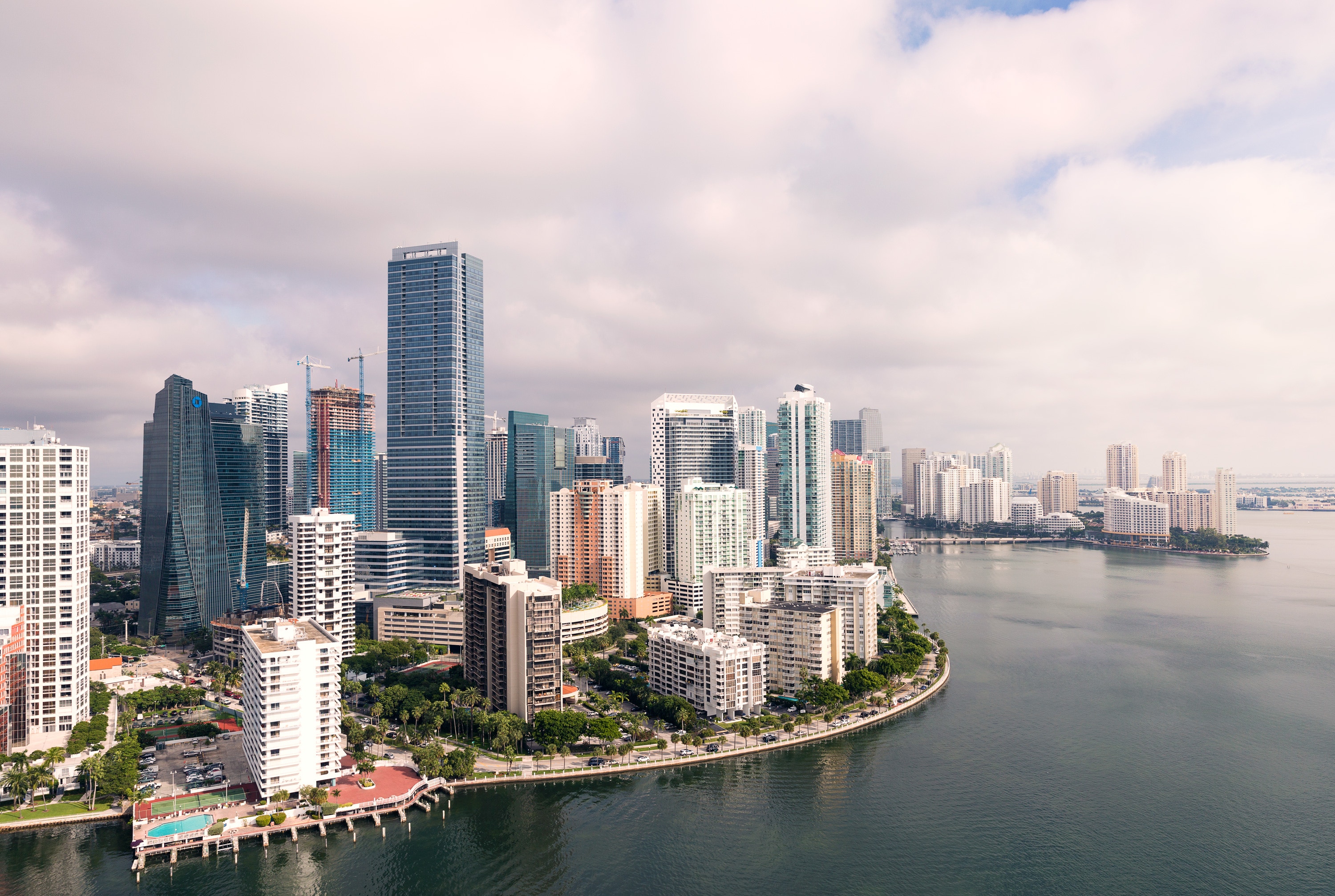
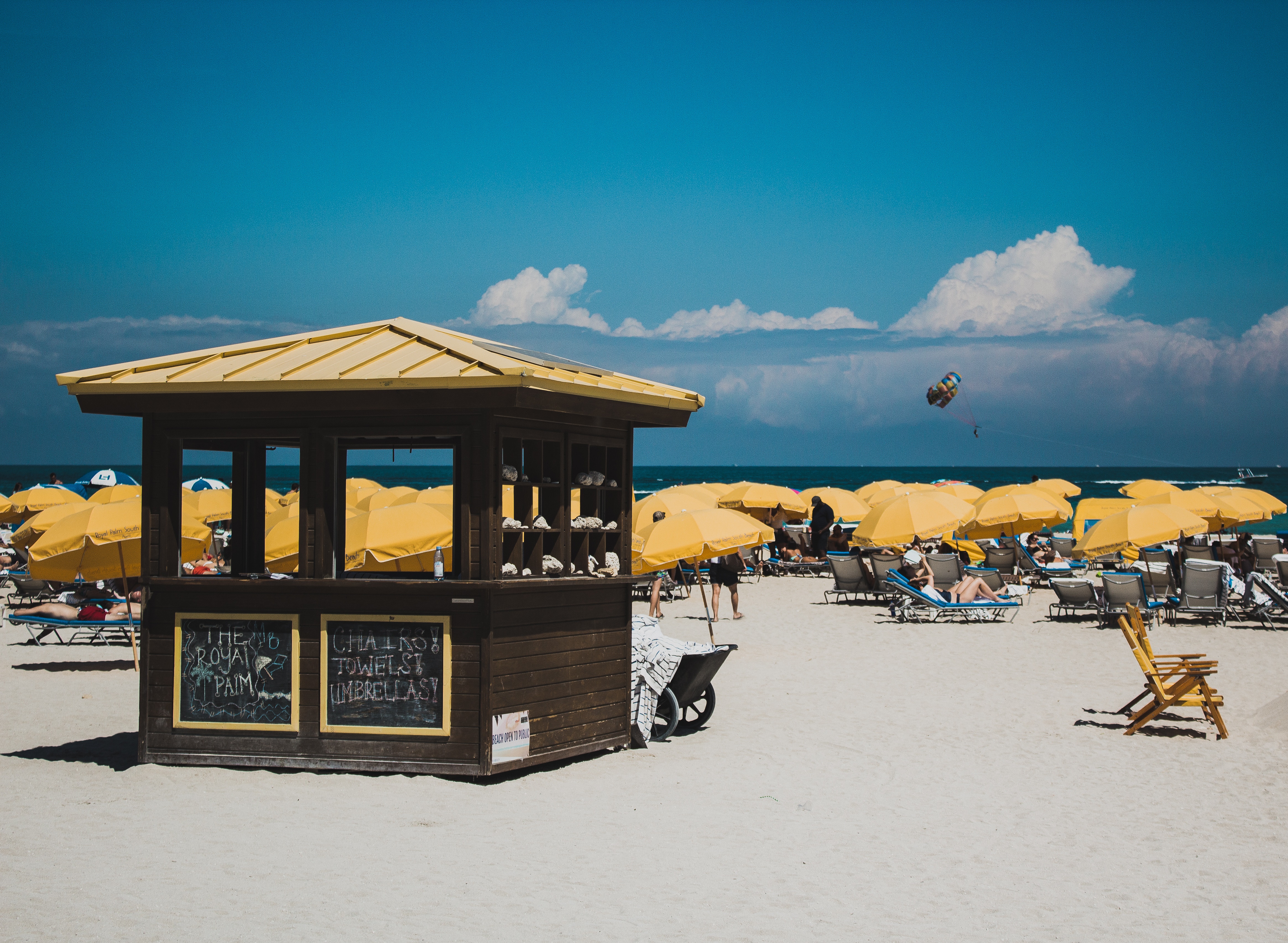
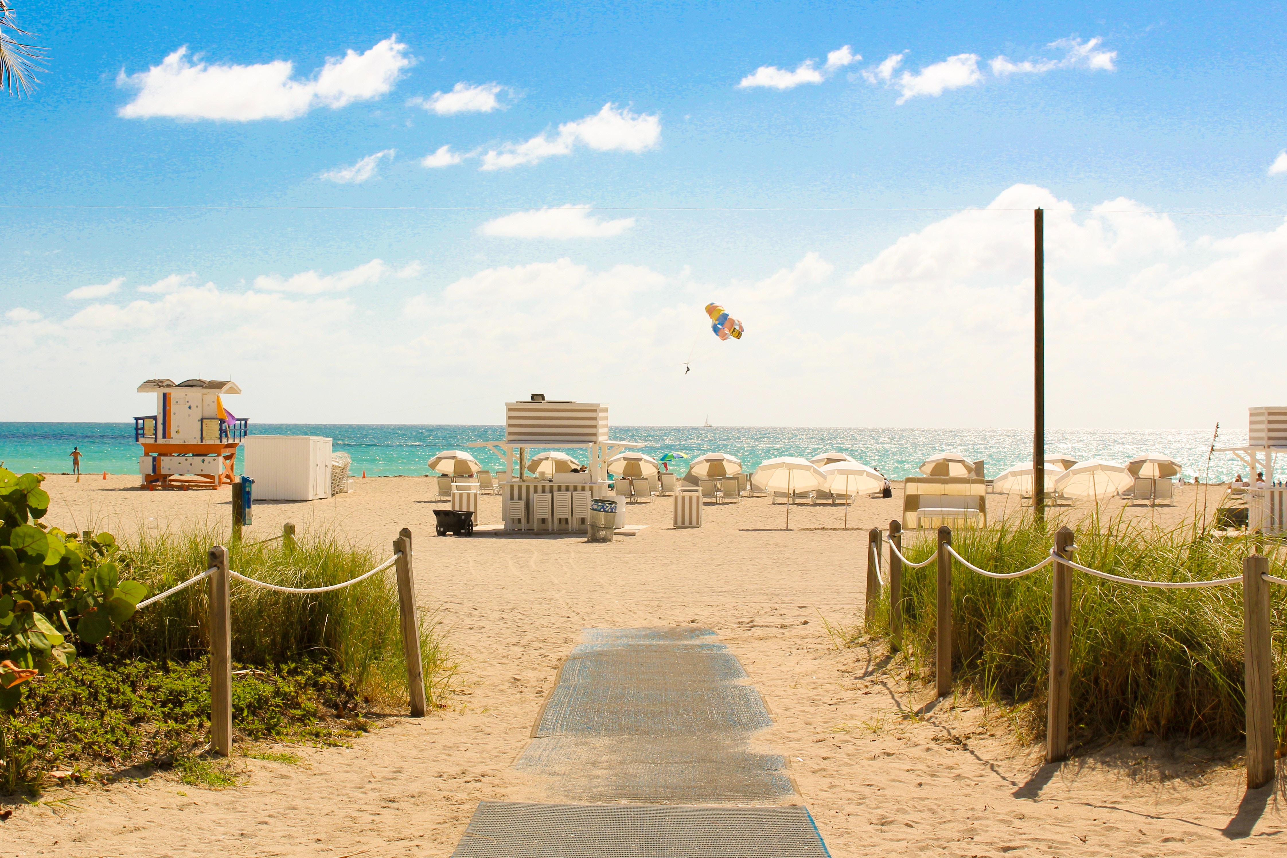
About Miami, Florida
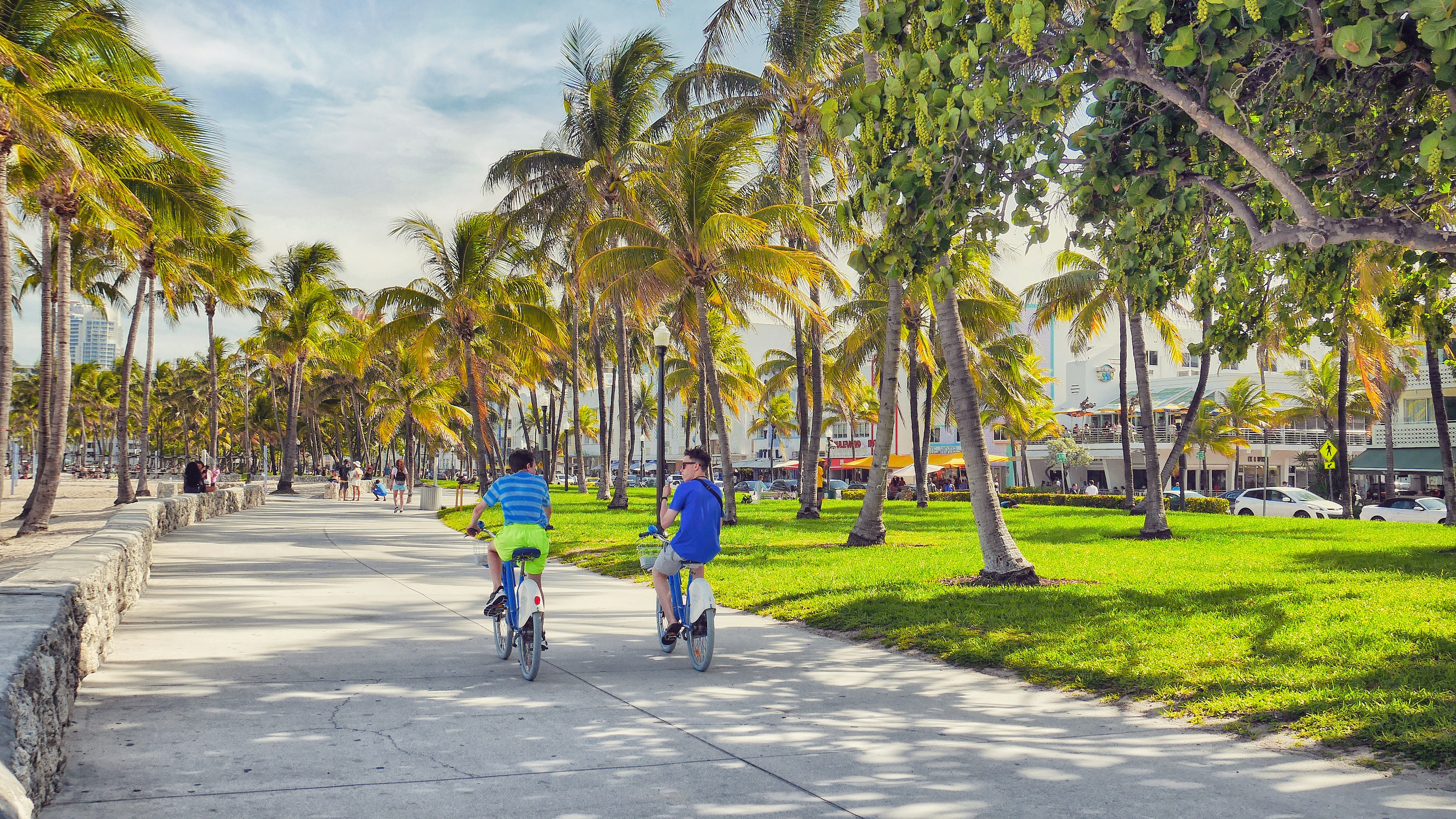
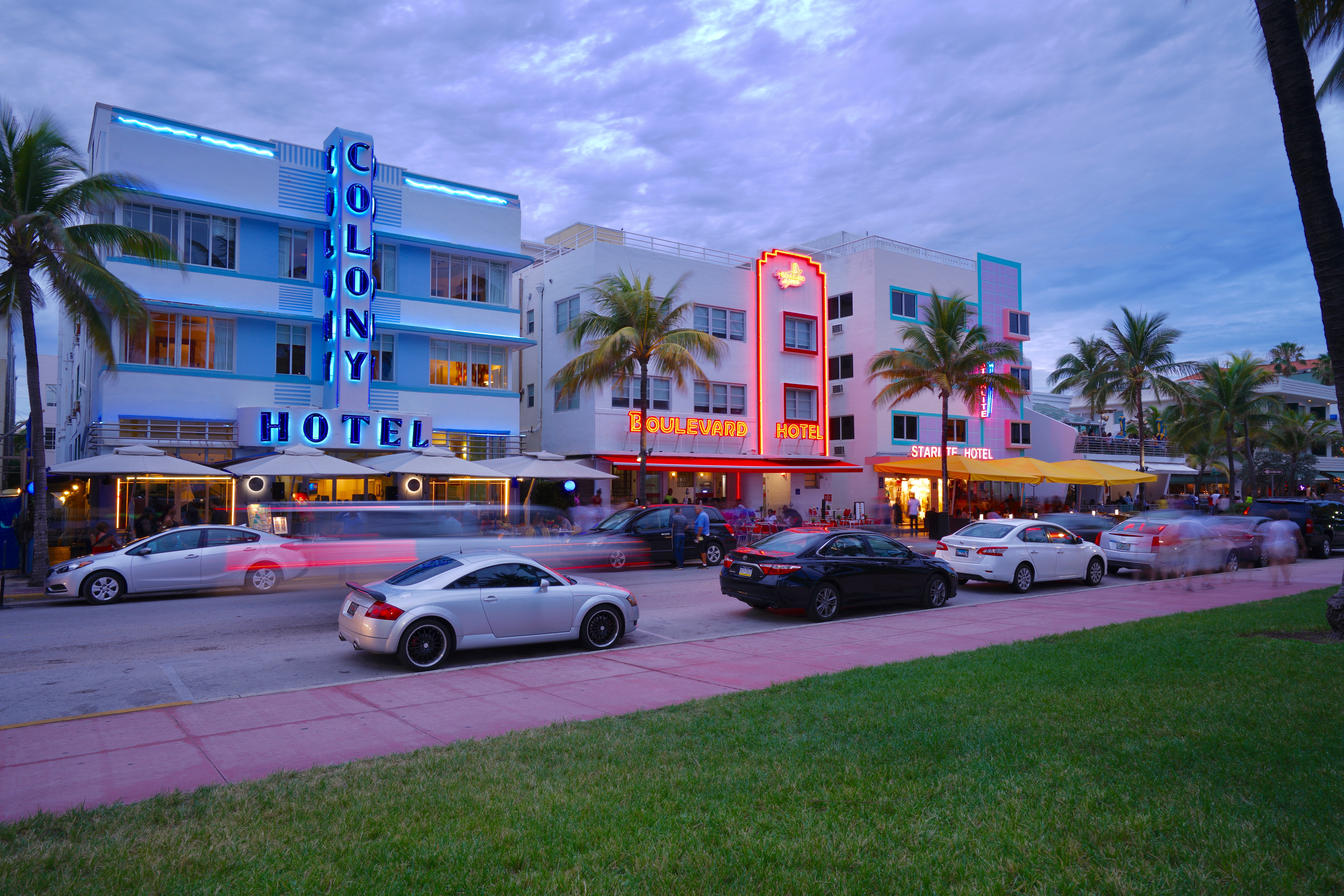
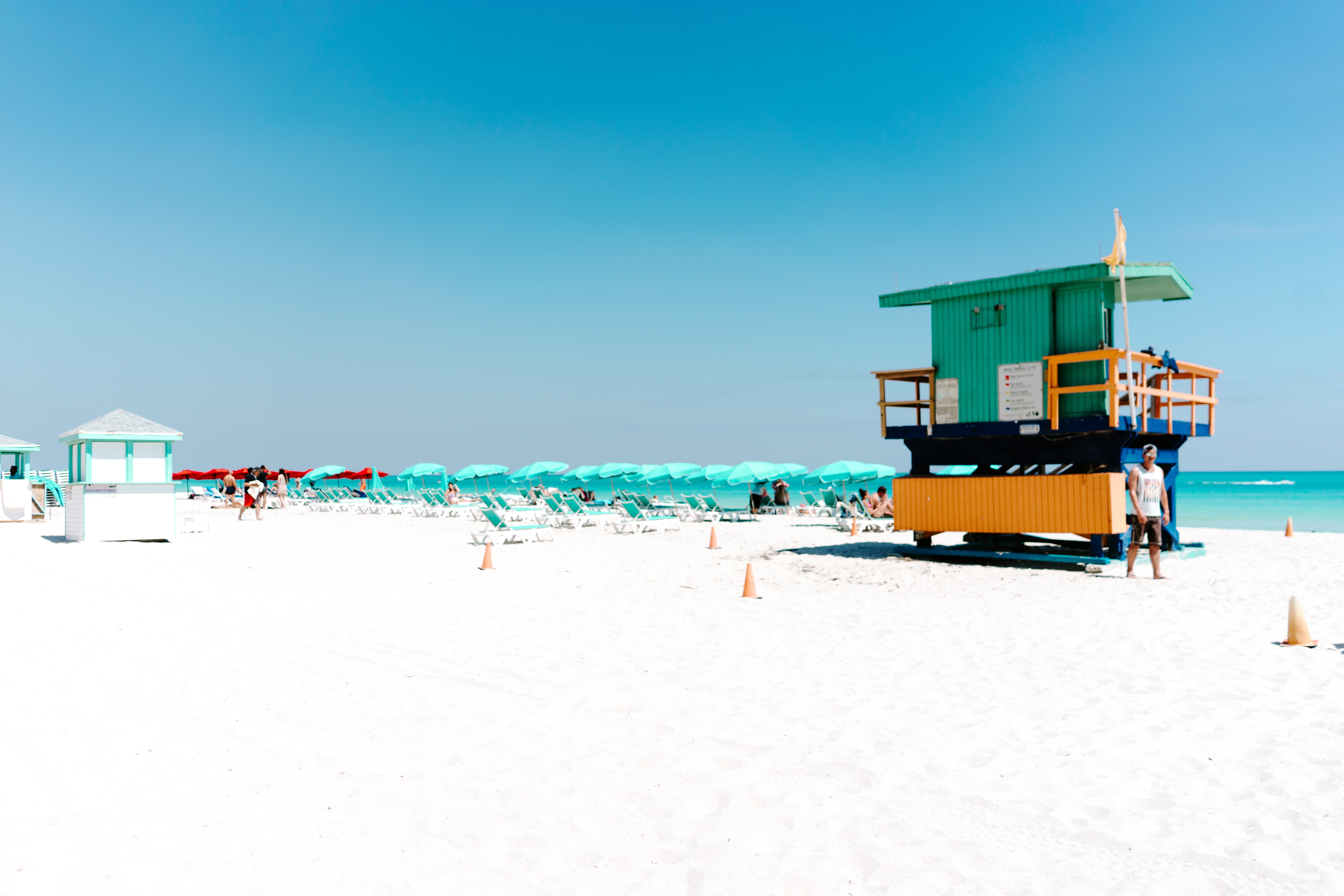
Miami is one of the world’s most popular holiday spots. It has so much to offer; from its countless beach areas, to culture and museums, from spa and shopping days out, to endless cuban restaurants and cafes. Miami is a multicultural city that has something to offer to everyone.
About Cozumel
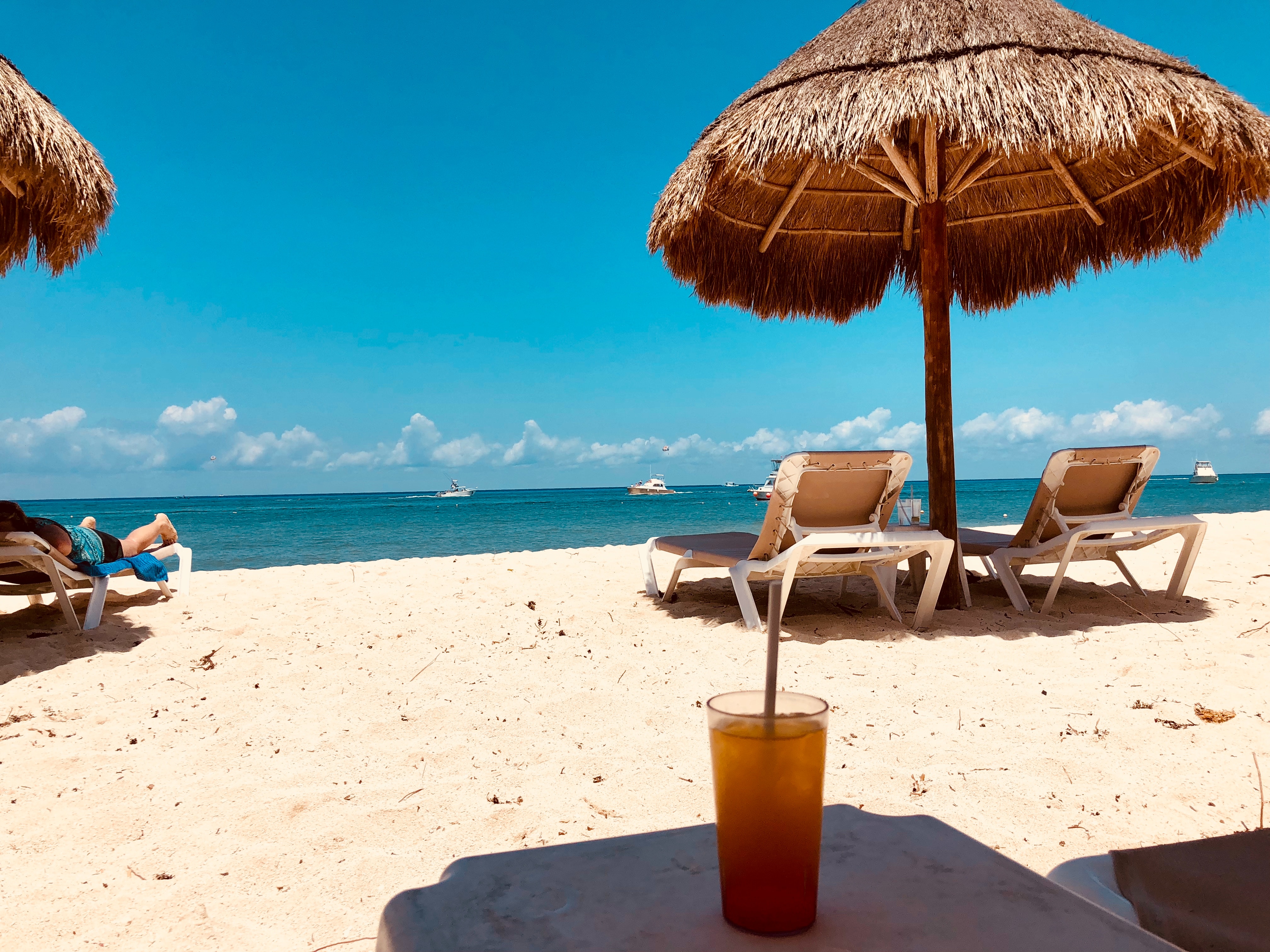
Cozumel, a Caribbean gem off Mexico’s Yucatán Peninsula, is celebrated for its crystal-clear waters, vibrant coral reefs, and rich Mayan history. A haven for divers and snorkelers, the island is home to the Mesoamerican Reef, teeming with colorful marine life. Beyond the sea, explore ancient ruins like San Gervasio, enjoy local charm in San Miguel’s markets, or relax on pristine beaches. Eco-parks like Punta Sur offer lush landscapes and wildlife encounters. Blending natural beauty, cultural heritage, and adventure, Cozumel promises a tropical escape that captivates every traveler.
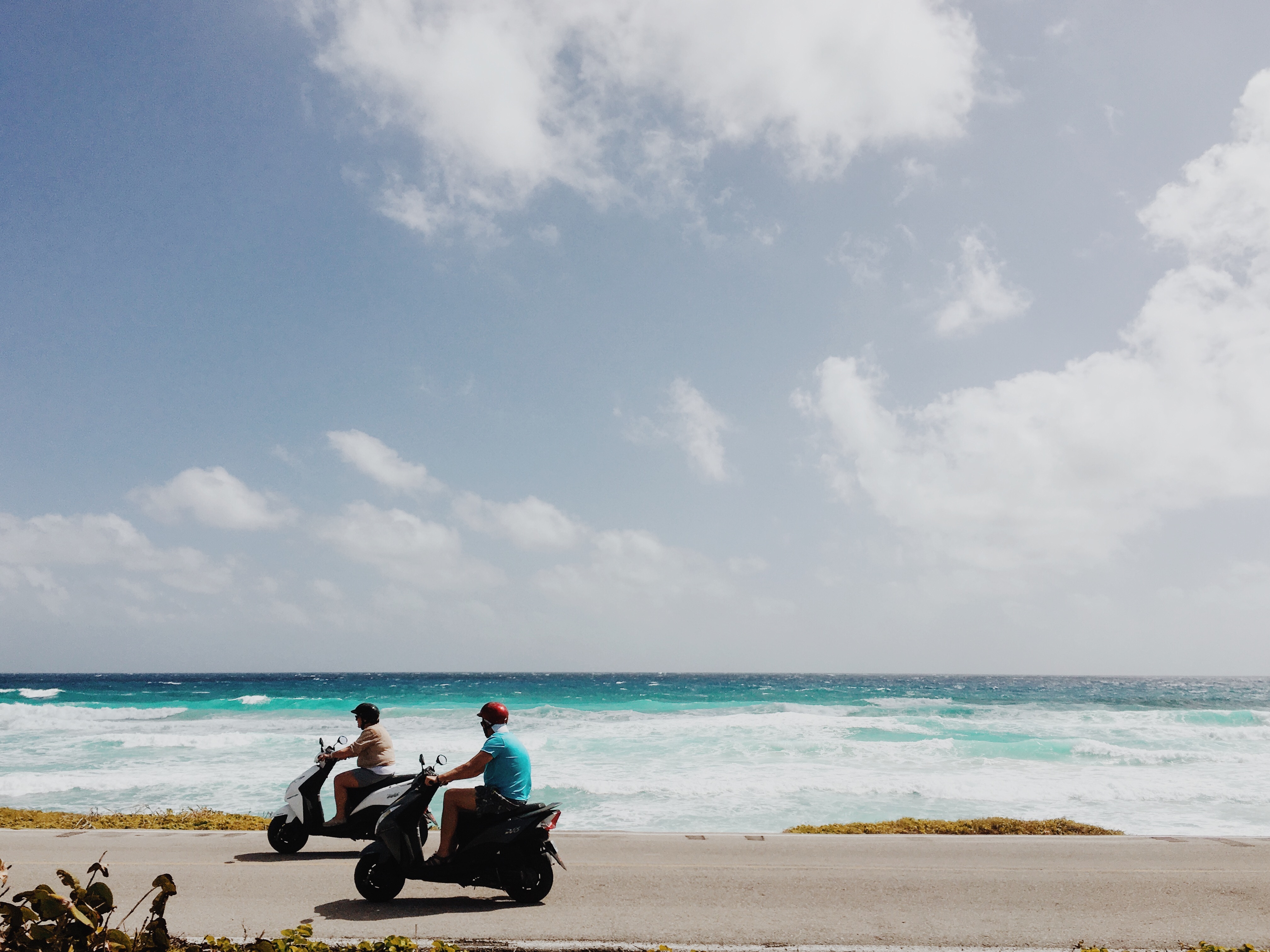
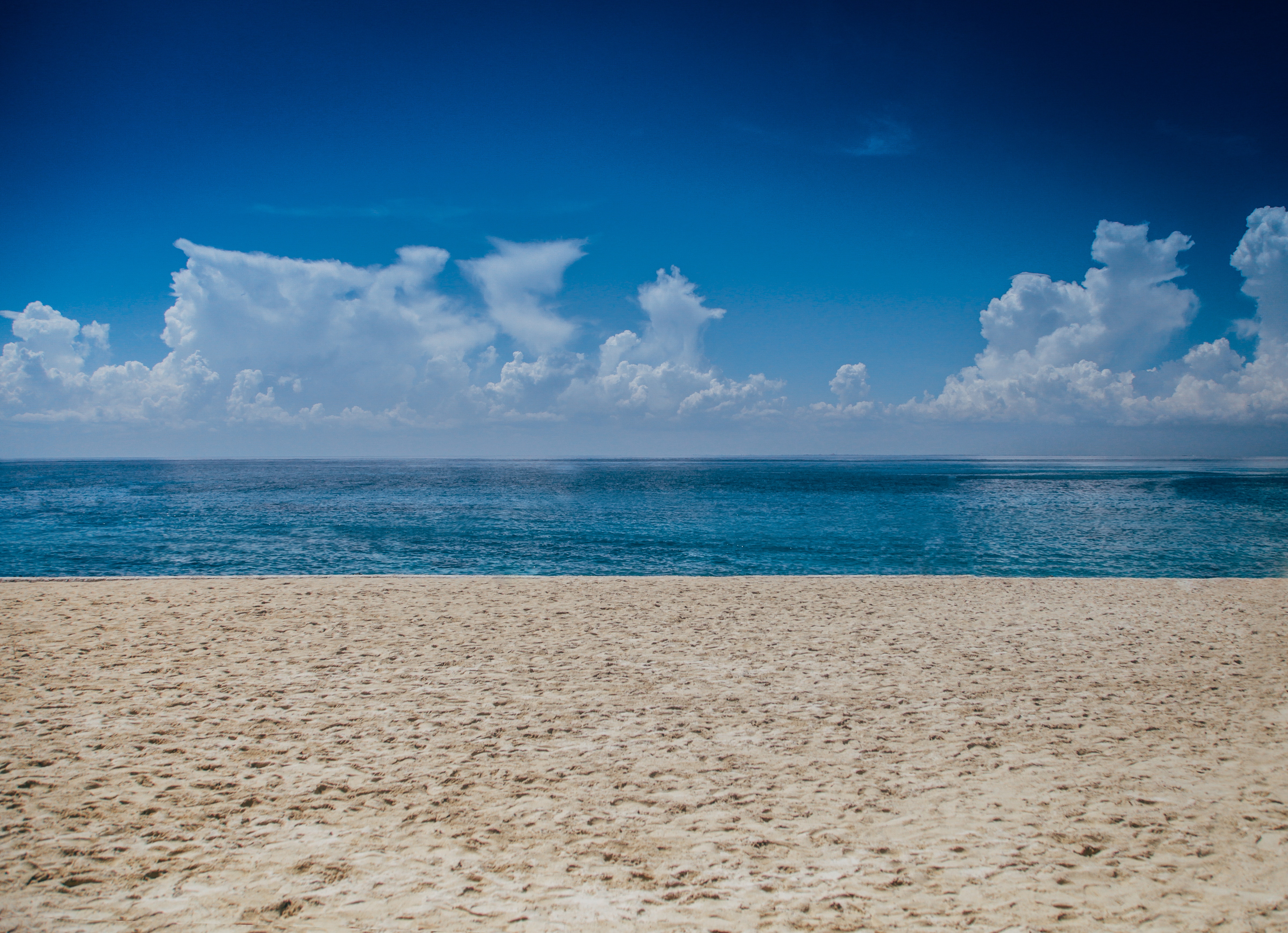

About Costa Maya
Laid-back coast with sandy beaches & waterfront eateries, plus diving around offshore coral reefs.

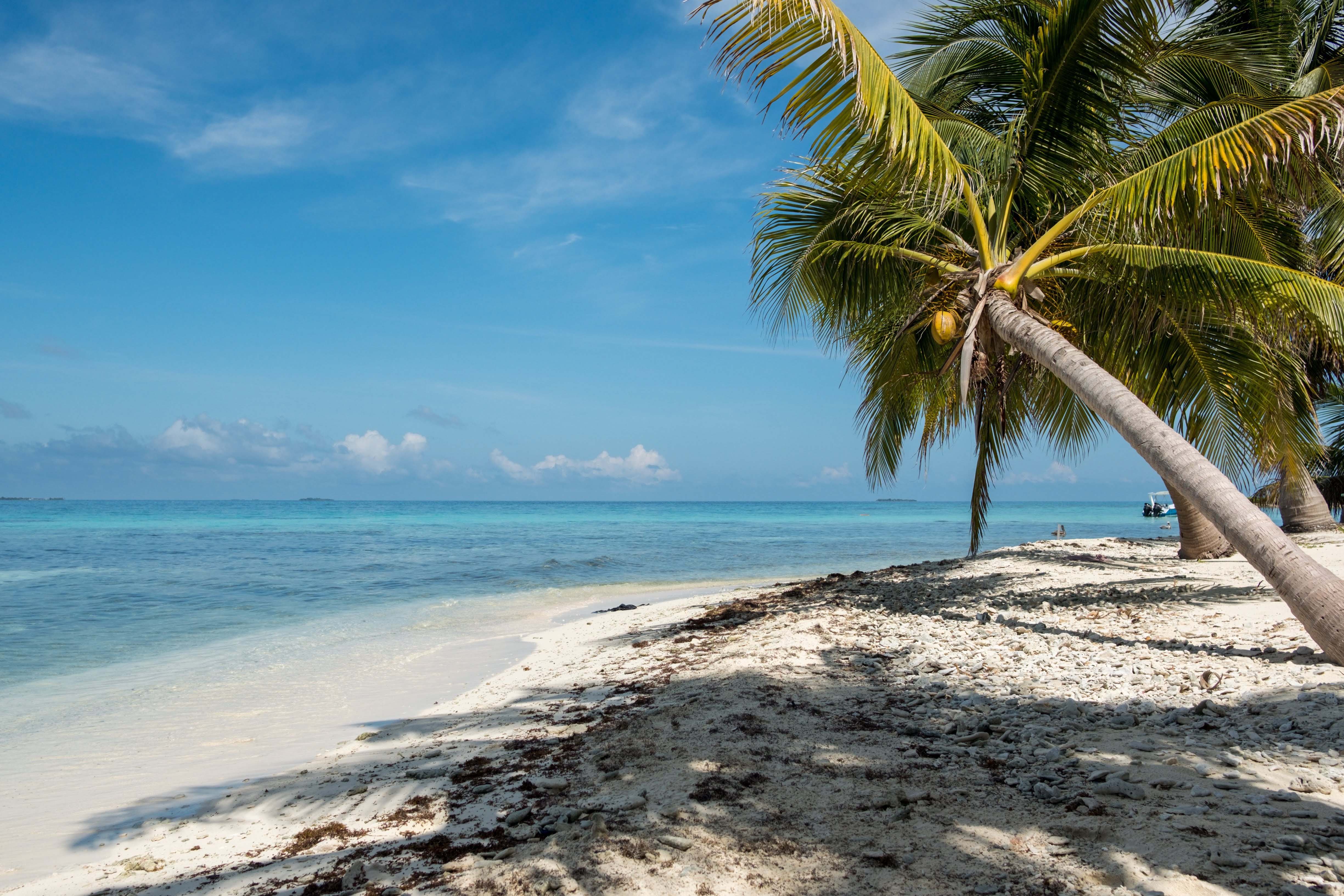
About Harvest Caye
About Roatán Island
Experience true Caribbean island bliss, during your time on the immaculate paradise of Roatan, which is the largest of the Bay Islands. This slim island is framed by glorious powdery white beaches, and rich ocean beds carpeted with diverse coral reefs - alive with fish and marine life. Curious dolphins roll through the waves just offshore, while beach dwellers soak up the sun, and enjoy coconut cocktails, beside leaning palm trees. The beaches here are nothing short of dreamy - with wooden piers teetering out over the water, and thatched roofs providing welcome shade, as you dangle your legs towards the water.


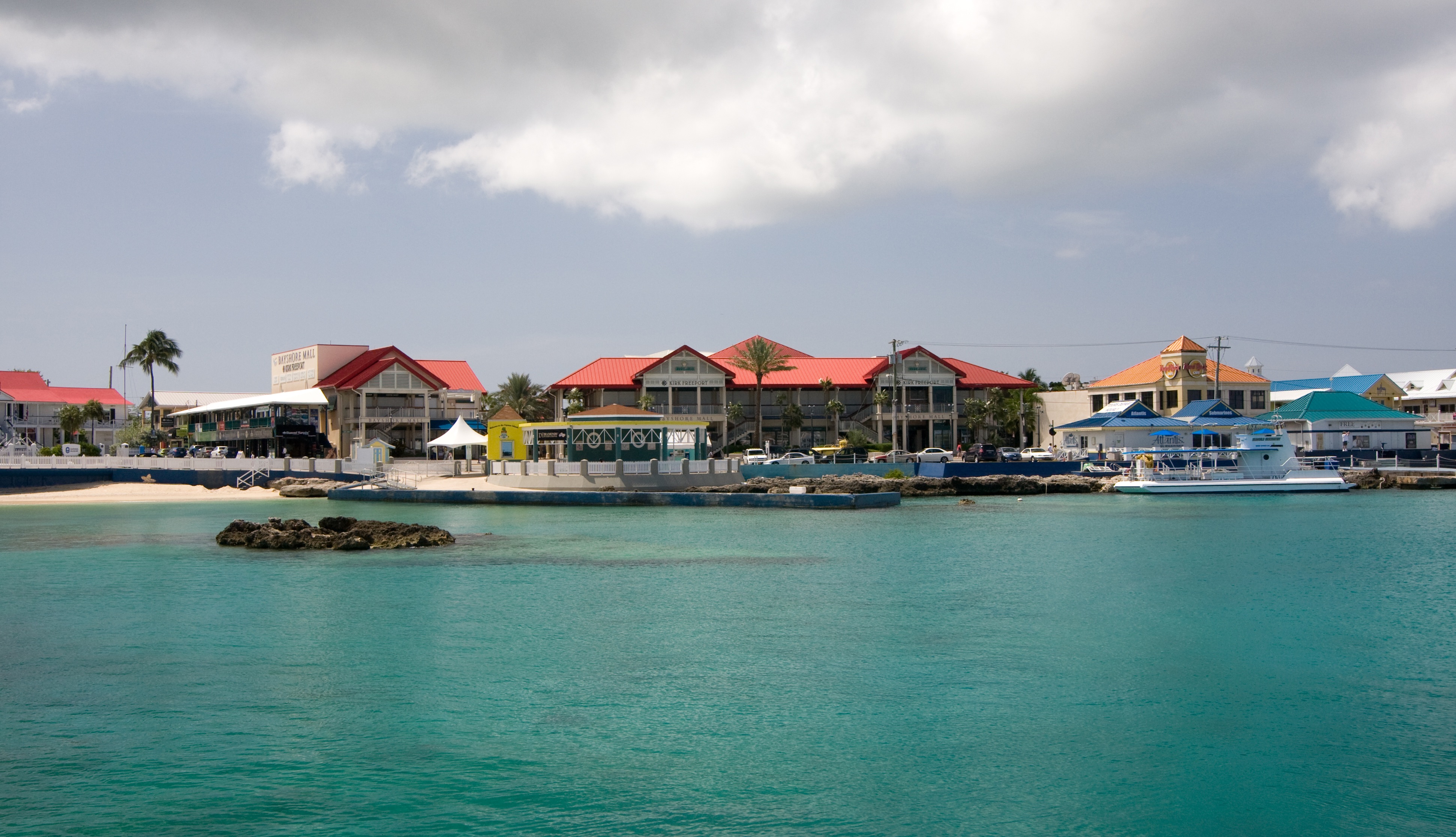
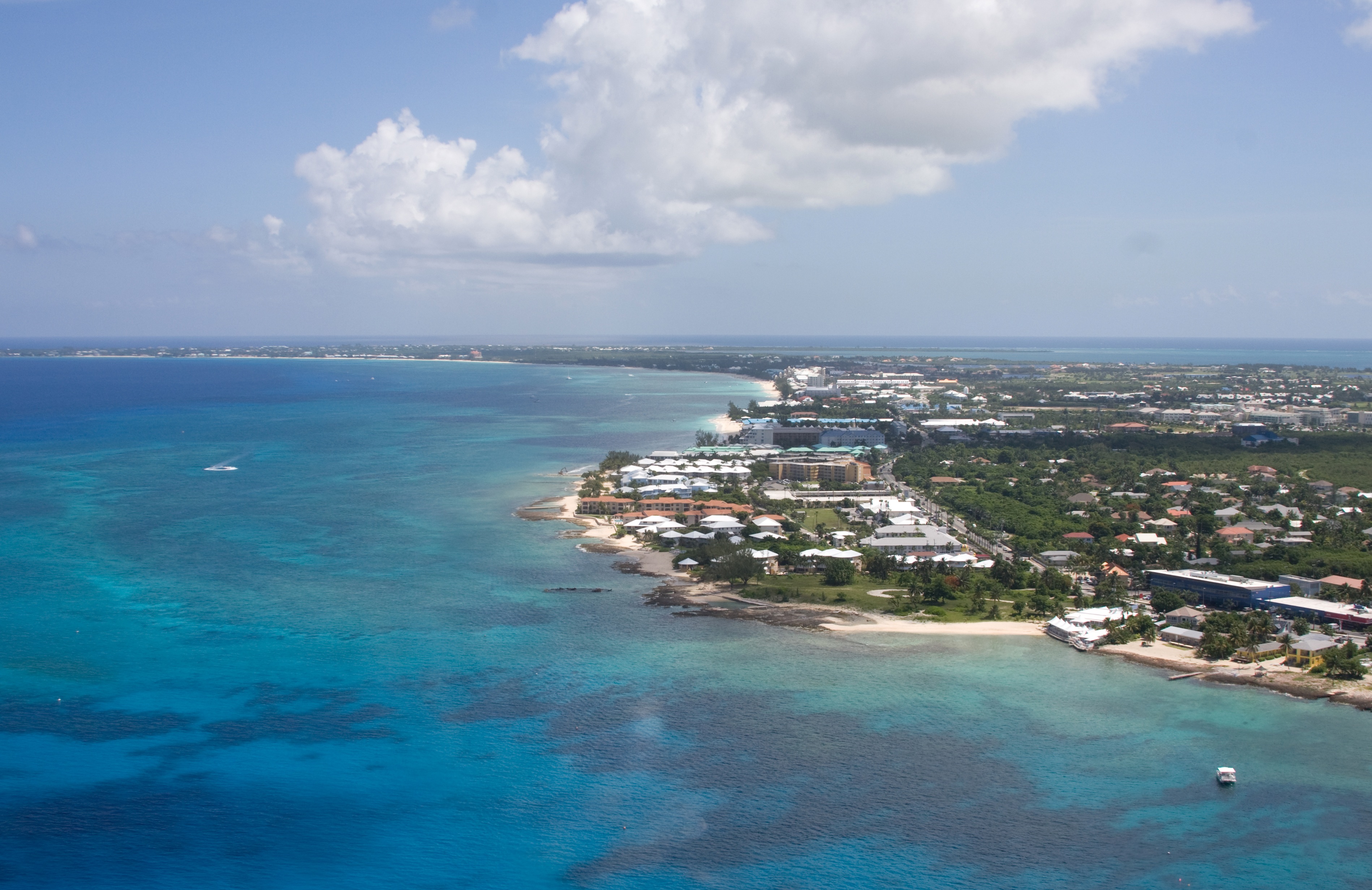
About Georgetown, Grand Cayman
Begin exploring the capital by strolling along the waterfront Harbour Drive to Elmslie Memorial United Church, named after the first Presbyterian missionary to serve in Cayman. Its vaulted ceiling, wooden arches, and sedate nave reflect the religious nature of island residents. In front of the court building, in the center of town, names of influential Caymanians are inscribed on the Wall of History, which commemorates the islands' quincentennial in 2003. Across the street is the Cayman Islands Legislative Assembly Building, next door to the 1919 Peace Memorial Building. In the middle of the financial district is the General Post Office, built in 1939. Let the kids pet the big blue iguana statues.
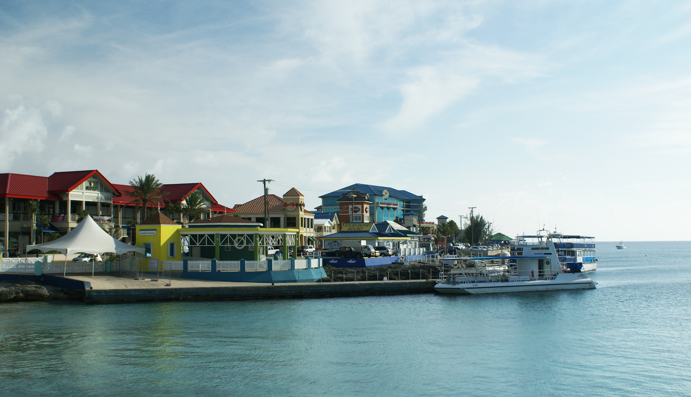

About Ocho Rios
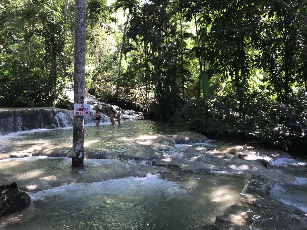
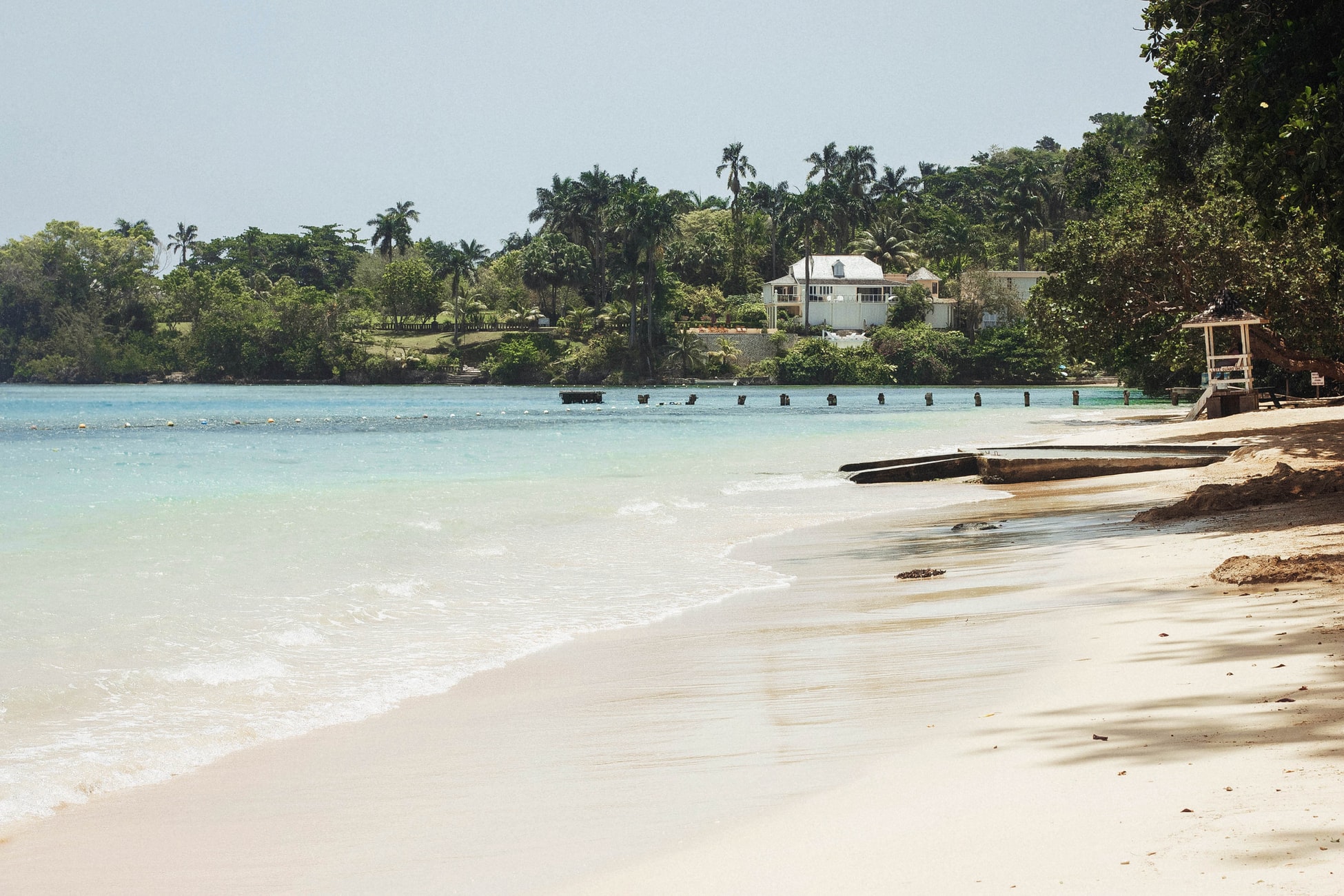
About Puerto Limón
Christopher Columbus became Costa Rica's first tourist when he landed on this stretch of coast in 1502 during his fourth and final voyage to the New World. Expecting to find vast mineral wealth, he named the region Costa Rica ("rich coast"). Imagine the Spaniards' surprise eventually to find there was none. Save for a brief skirmish some six decades ago, the country did prove itself rich in a long tradition of peace and democracy. No other country in Latin America can make that claim. Costa Rica is also abundantly rich in natural beauty, managing to pack beaches, volcanoes, rain forests, and diverse animal life into an area the size of Vermont and New Hampshire combined. It has successfully parlayed those qualities into its role as one the world's great ecotourism destinations. A day visit is short, but time enough for a quick sample.
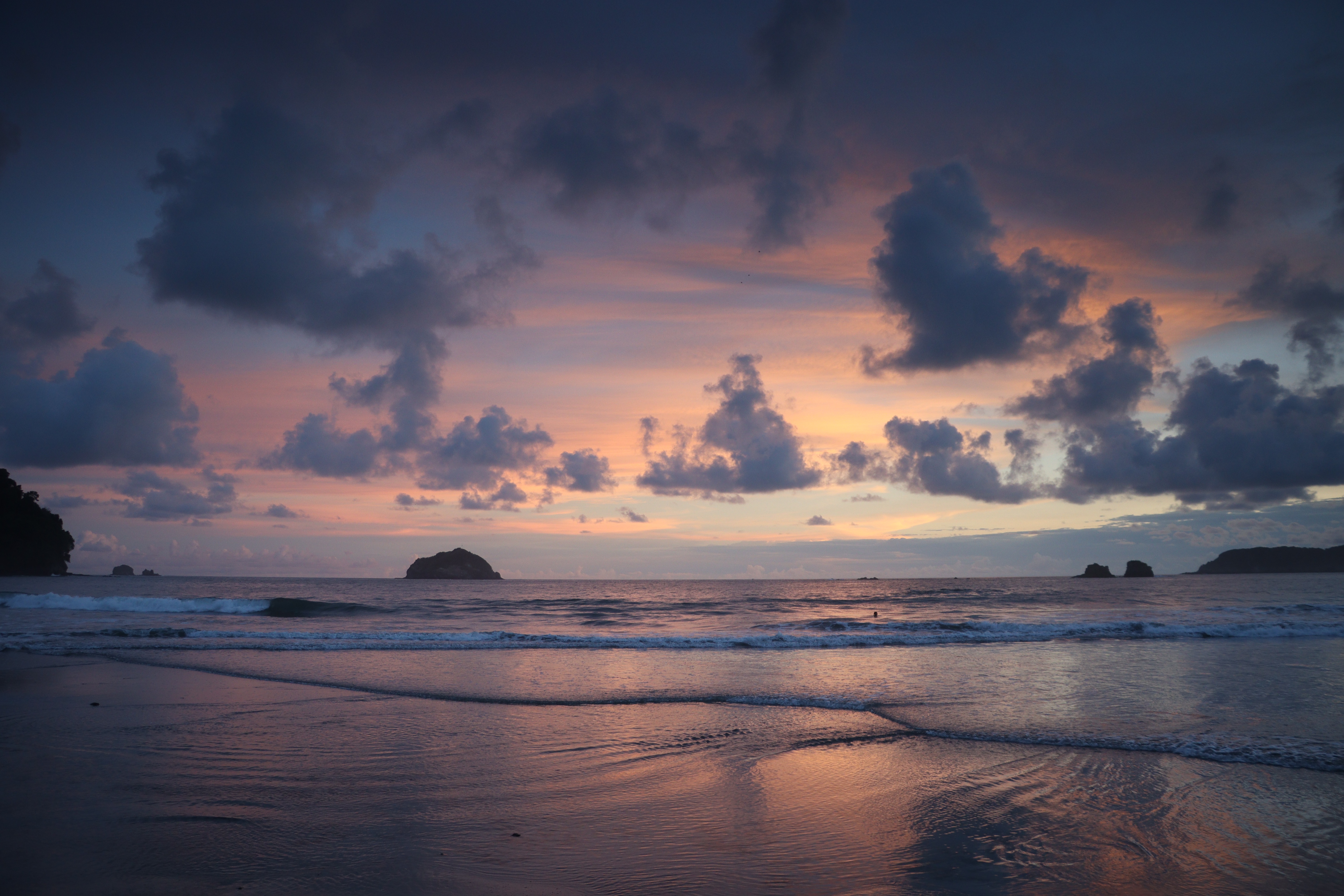
About Cartagena
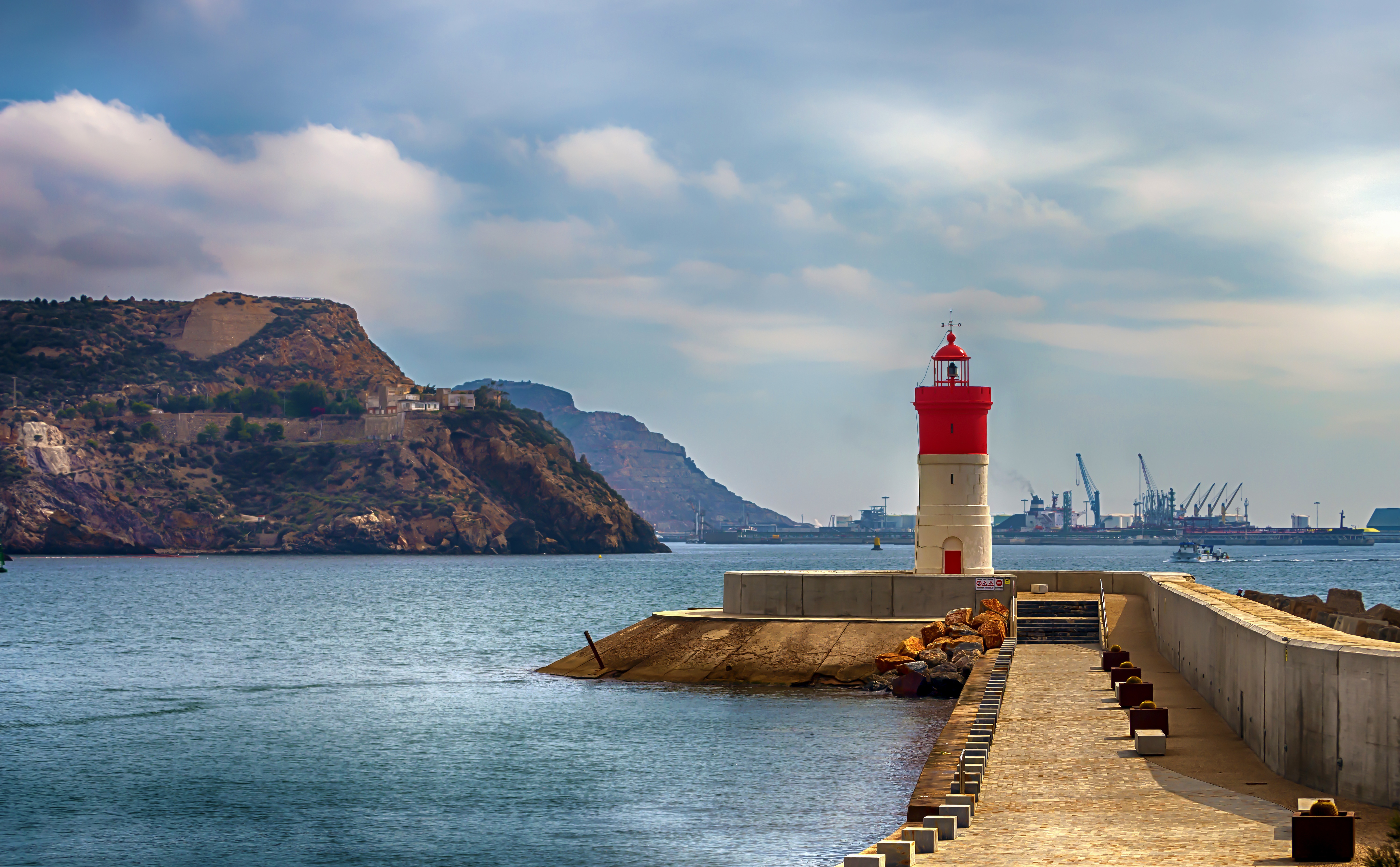
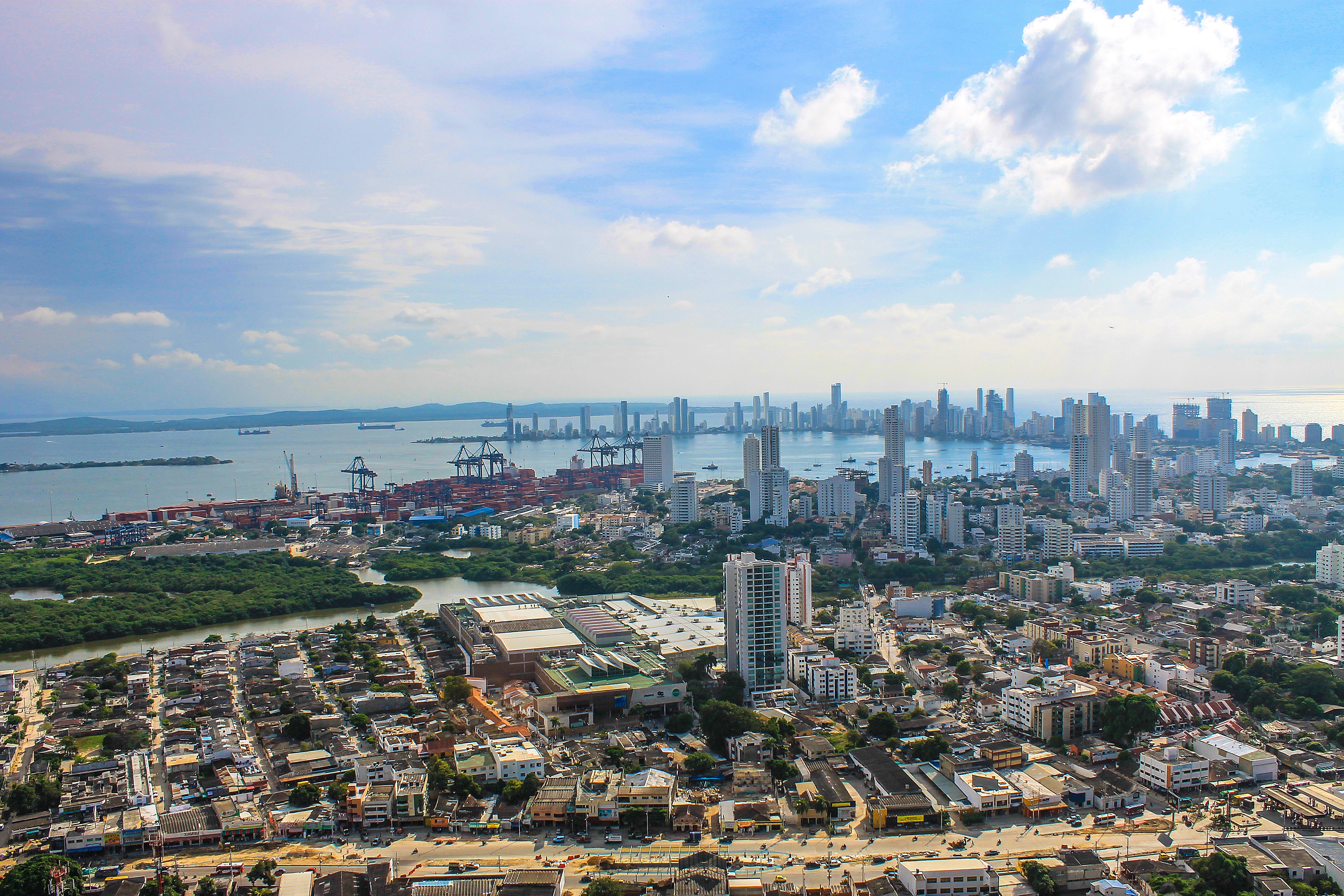
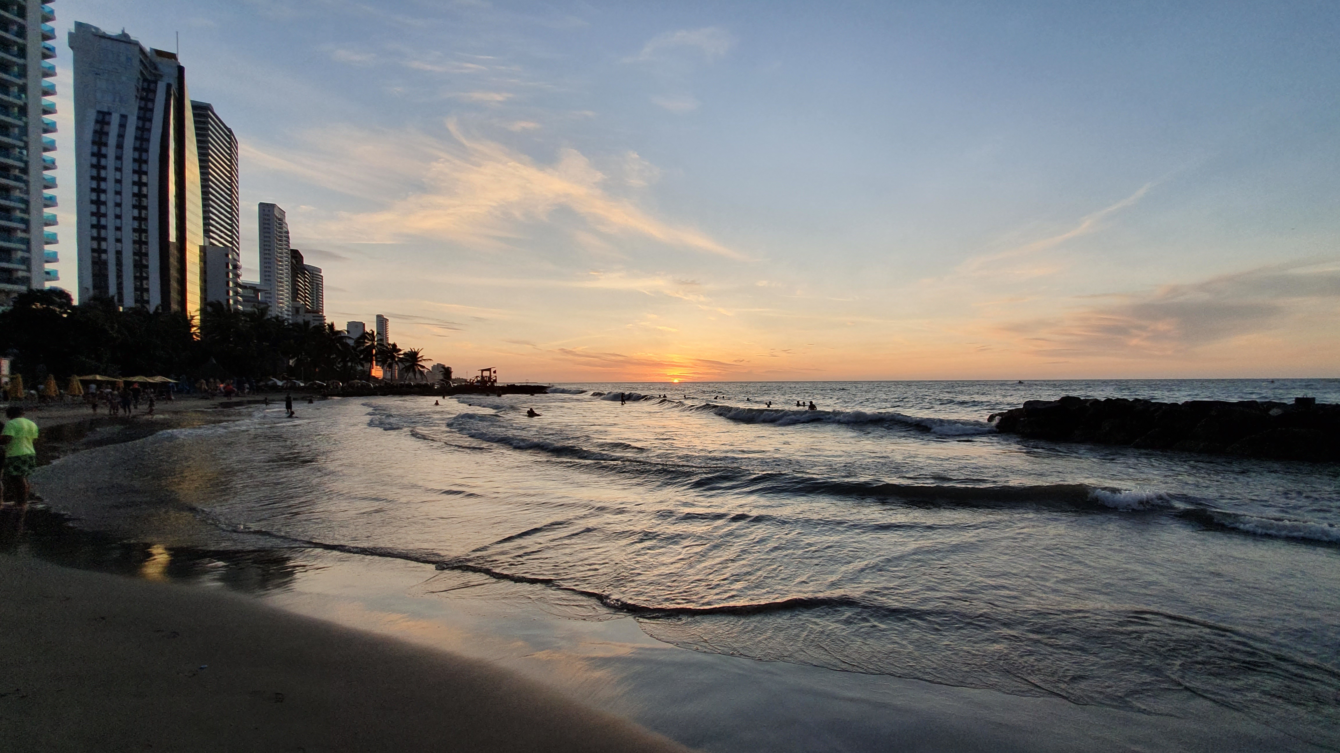
Cartagena's magnificent city walls and fortresses, now a UNESCO World Heritage Site, enclose a well-restored historic center (the Cuidad Amurallada, or walled city) with plazas, churches, museums, and shops that have made it a lively coastal vacation spot for South Americans and others. New hotels and restaurants make the walled city a desirable place to stay, and the formerly down-at-the-heels Getsemaní neighborhood attracts those seeking a bohemian buzz. The historic center is a small section of Cartagena; many hotels are in the Bocagrande district, an elongated peninsula where high-rise hotels overlook a long, gray-sand beach.When it was founded in 1533 by Spanish conquistador Pedro de Heredia, Cartagena was the only port on the South American mainland. Gold and silver looted from indigenous peoples passed through here en route to Spain and attracted pirates, including Sir Francis Drake, who in 1586 torched 200 buildings. Cartagena's walls protected the city's riches as well as the New World's most important African slave market.
About Panama City
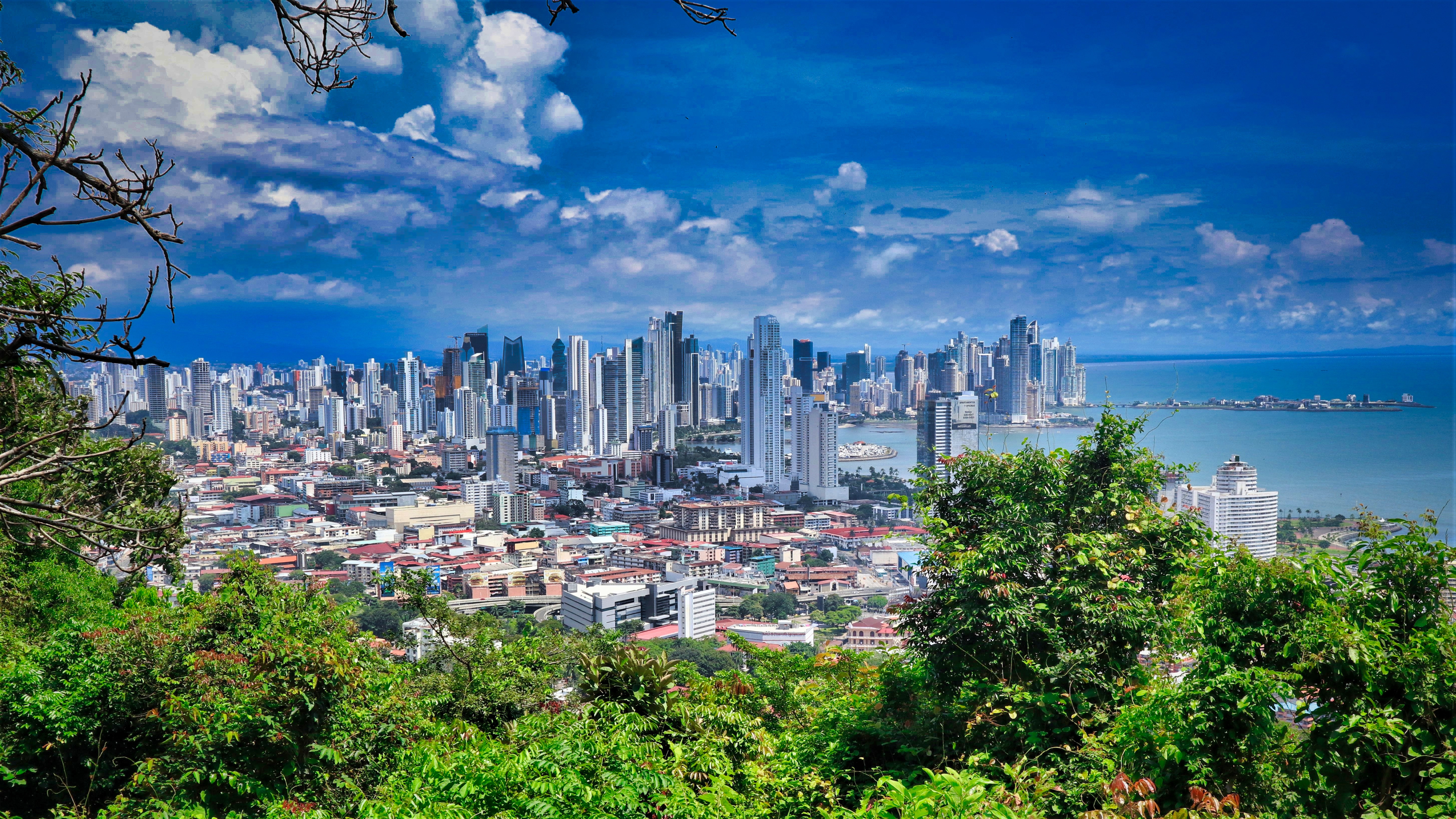
Expect incredible morning views as you arrive into the port for Panama City. Tinged with a silver pre-dawn light, the city will metamorphosise into a golden glow as the sun rises above it. And from then on expect one stunning view after another. Very interesting in its own right, Fuerte Amador is obviously overshadowed by its proximity to Panama City. So should the Miraflores museum of the Canal, which offers a comprehensive and immersive tour of the Canal including a 3-D experience, four exhibition halls, an observation deck, and a surprisingly good restaurant not interest you then there is always the option of lovely Casco Viejo – literally the old quartier of Panama. The grand old colonial houses, cobbled streets, independent boutiques and buzzing street scene make this a must stop on your itinerary. And if you like seafood, you will not want miss the many restaurants and market stalls serving different variations of so-fresh-it’s-still-practically-swimming ceviche. Best eaten like the Panamanians do, with salty crackers and a cold beer on the beach. And if money is no object, a cup of geisha coffee – supposedly the world’s best and definitely the world’s most expensive at $7 a shot is definitely a pick me up! Cool cosmopolitan capital aside, Panama has a skyscraper filled skyline that is worthy of some of its North American counterparts. But if urban utopia is not your scene then fear not, the sandy beaches and lush rainforests are never more than a short cab ride away.

About Puntarenas
This town is not on the Nicoya Peninsula, but rather on Costa Rica's mainland. It is best known as a cruise-ship port and launching pad for ferries heading southeast to the coast of the Nicoya Peninsula and for cruises sailing out on the Gulf of Nicoya. Puntarenas is also a major fishing port with a lively fish market. The town’s reputation suffers from the unimpressive parts you see from your car as you roll through town on the way to the ferry dock. But the town has a lot of character off the main drag, thanks to its illustrious past as an affluent port town and principal vacation spot for San José's wealthy, who arrived by train in the last century. Once the port was moved and roads opened to other beaches, Puntarenas's economy crashed, but it's making a comeback. Sitting on a narrow spit of sand—punta de arenas literally means "point of sand"—that protrudes into the Gulf of Nicoya, the town boasts a beautifully groomed, wide Blue Flag beach with views of the Nicoya Peninsula and spectacular sunsets, along with a public swimming pool, the San Lucas Beach Club, and a marine-life museum. Ticos arrive by bus and car to enjoy the beach and stroll the Paseo de los Turistas, a beachfront promenade lined with tree-shaded concrete benches and seafood restaurants. Crowds of locals, called porteños, cruise by on bicycles, the town’s most popular form of transport.
About Acajutla

About Puerto Quetzal
Puerto Quetzal is Guatemala's largest Pacific Ocean port. It is important for both cargo traffic and as a stop-off point for cruise liners

About Puerto Vallarta
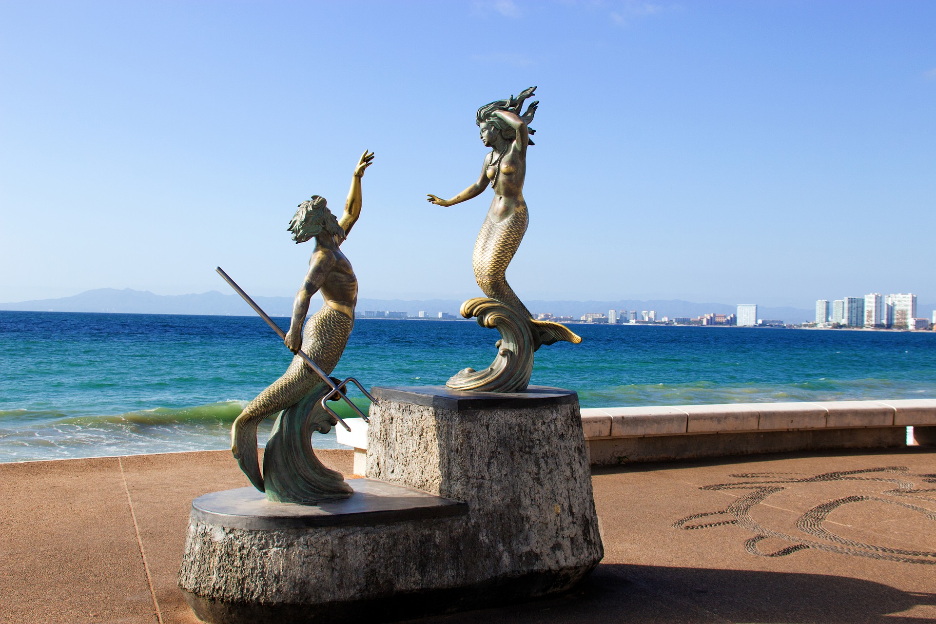
Puerto Vallarta is a resort town on Mexico’s Pacific coast, in Jalisco state. It is known for its beaches, water sports and nightlife scene. Its cobblestone center is home to the ornate Nuestra Señora de Guadalupe church, boutique shops and a range of restaurants and bars. El Malecón is a beachside promenade with contemporary sculptures, as well as bars, lounges and nightclubs.
About Cabo San Lucas
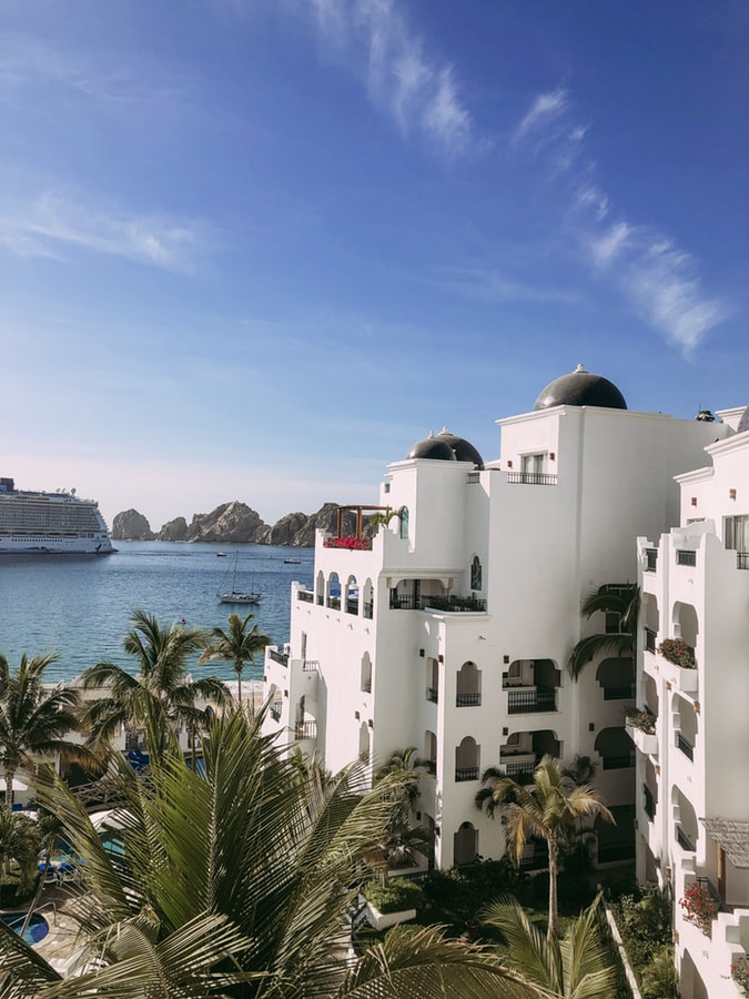
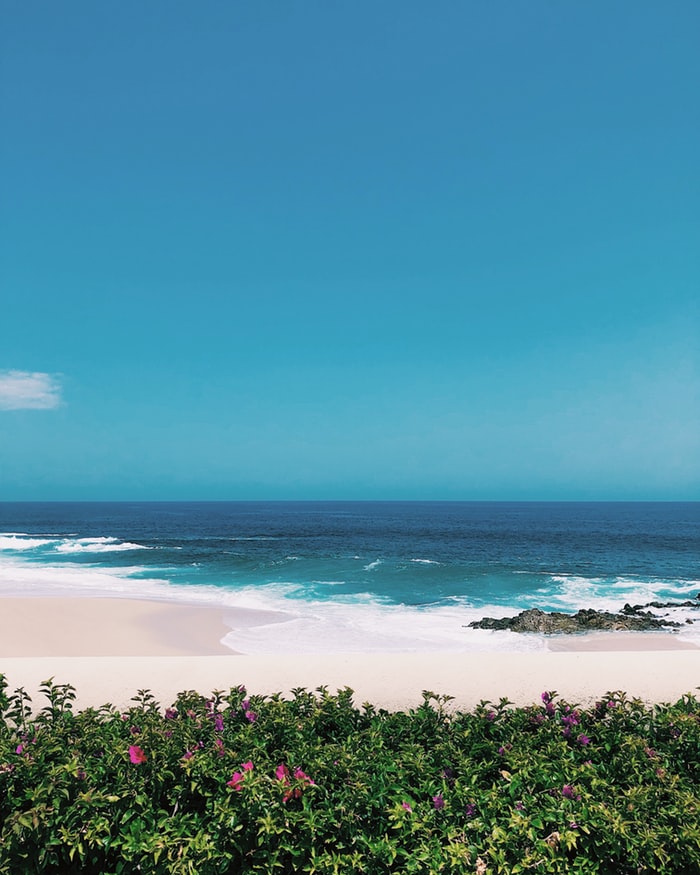
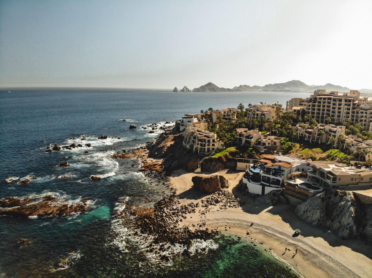
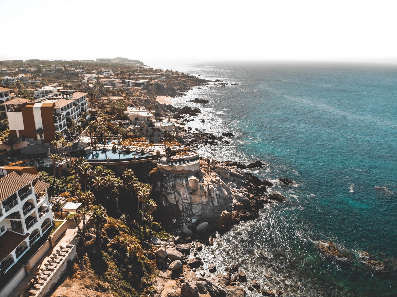
Cabo San Lucas, a resort city on the southern tip of Mexico’s Baja California peninsula, is known for its beaches, water-based activities and nightlife. Playa El Médano is Cabo’s main beach, with outdoor restaurants and numerous bars. Past the marina is Land's End promontory, site of Playa del Amor (Lover's Beach) and El Arco, a natural archway in the seacliffs.

About Los Angeles, California
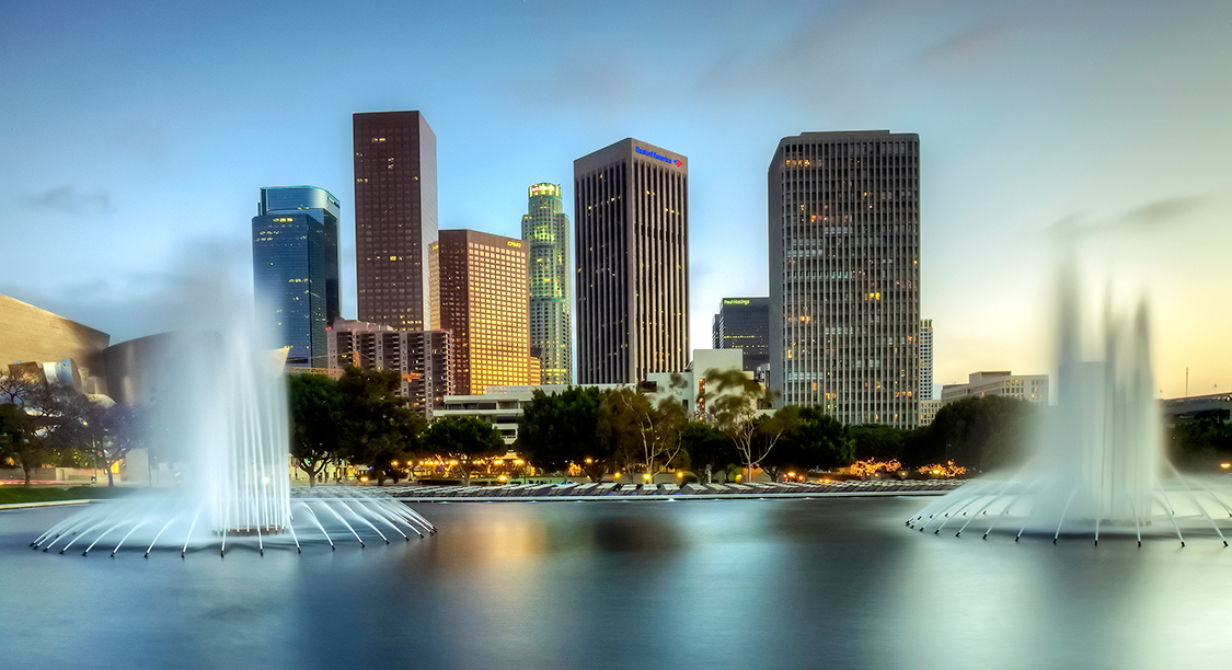
Home of the famous Hollywood sign and Walk of Fame, Los Angeles is the place to visit for anyone interested in film and television and hoping to get a glimpse at some famous actors and artists. Stroll down the Walk and enjoy the glamorous atmosphere and famous surroundings, or take a break on the Santa Monica pier and watch the sun set on the sea.

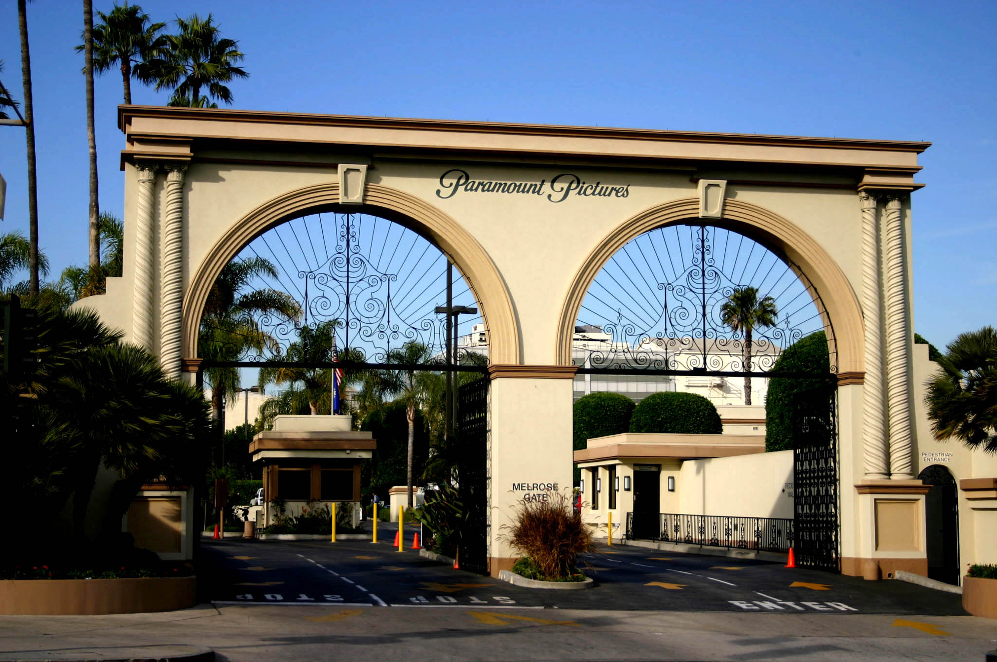


About Honolulu, Hawaii
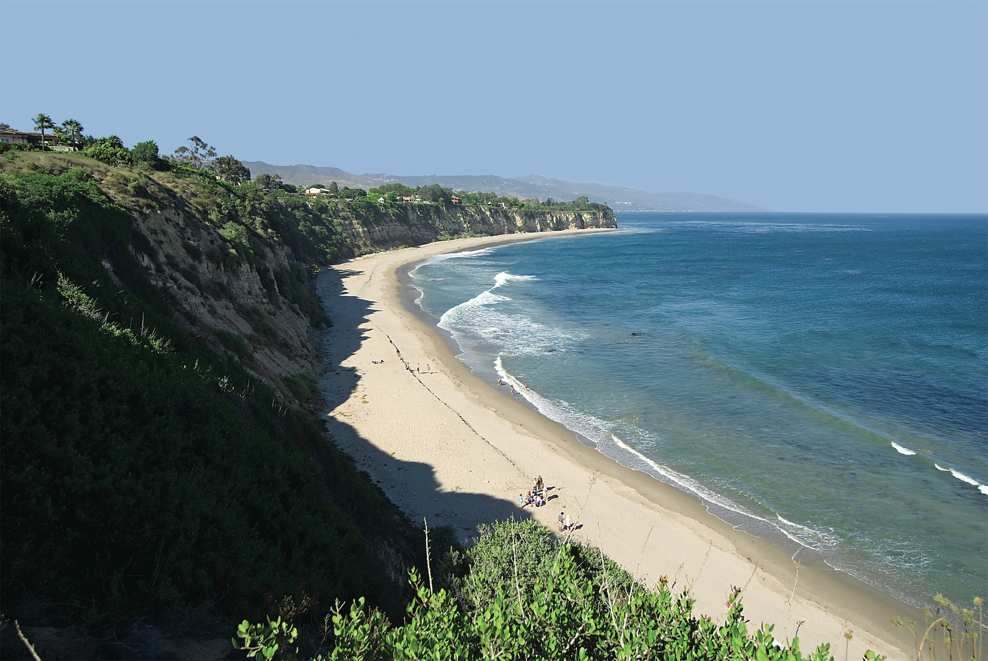
Capital of Hawaii, and a popular tourist destination, Honolulu is known for surfing and water sports. However, there's more to the city than surfing; with museums, the only royal palace in the country, and a mall, there's bound to be something of interest for any visitor.
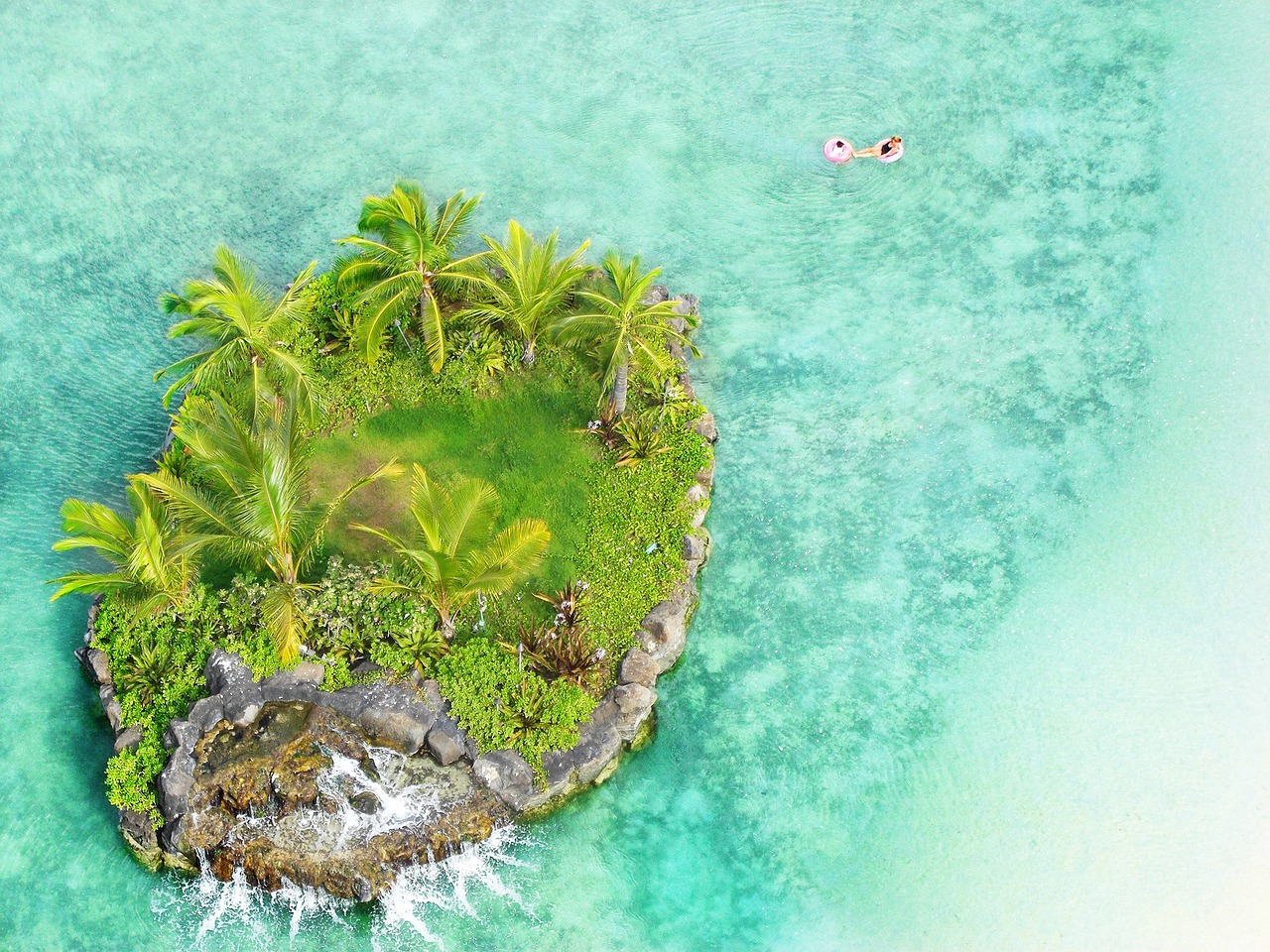
About Kahului-Maui, Hawaii

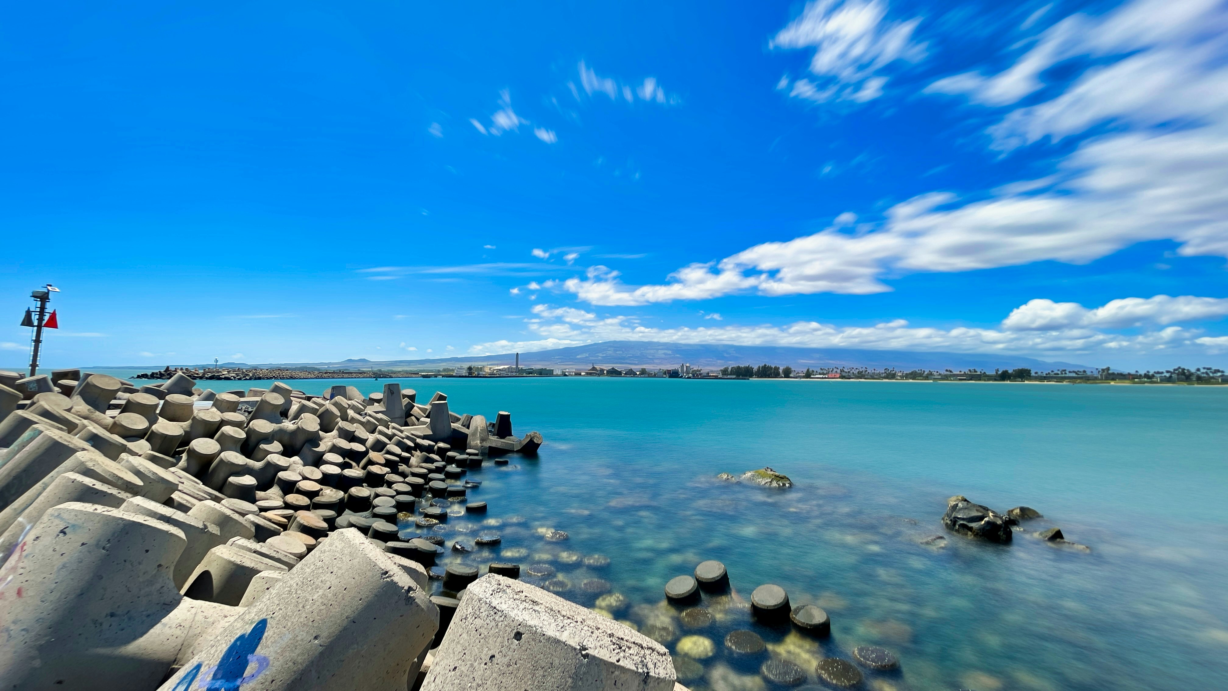
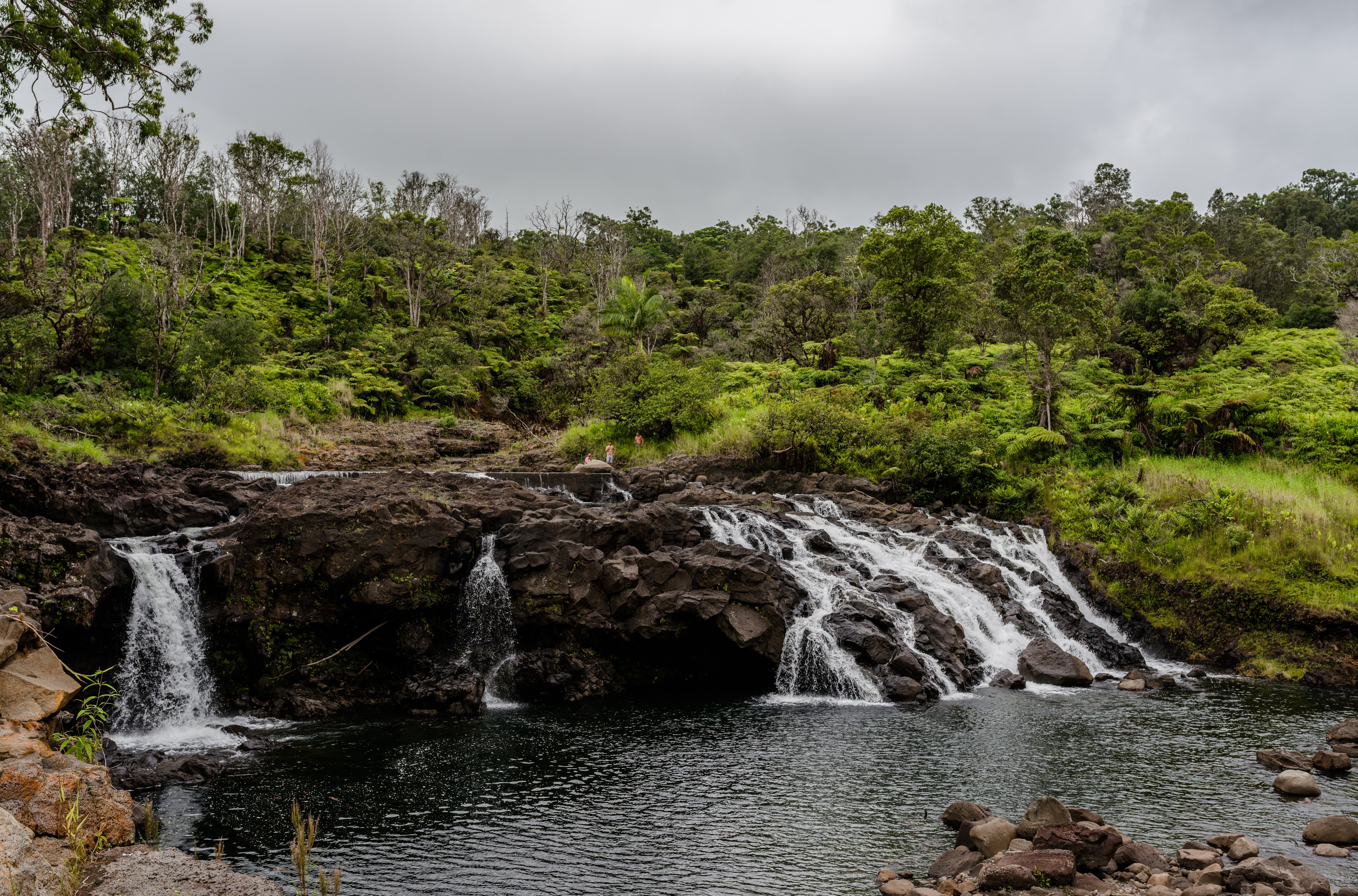
About Hilo, Hawaii
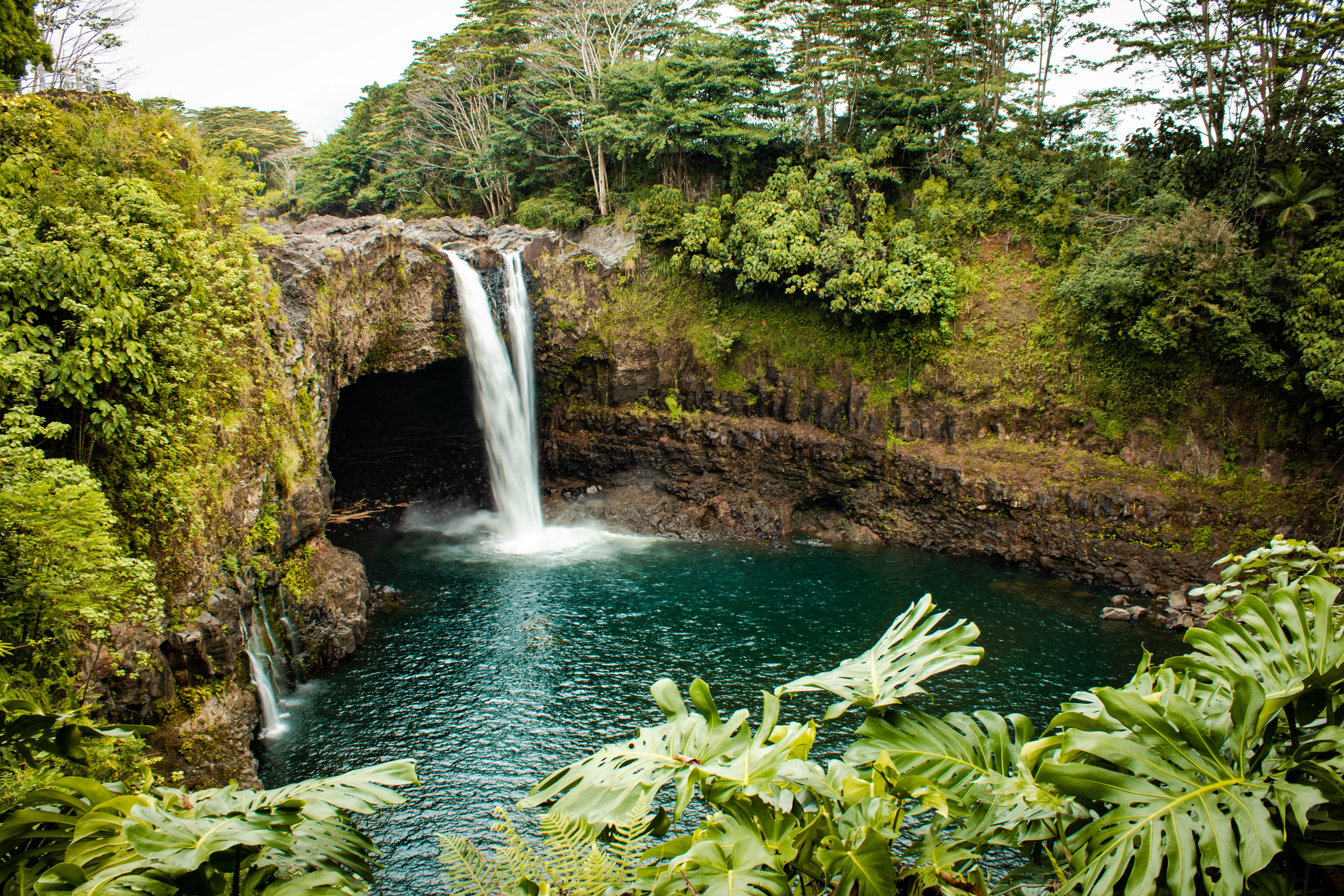
About Bora-Bora
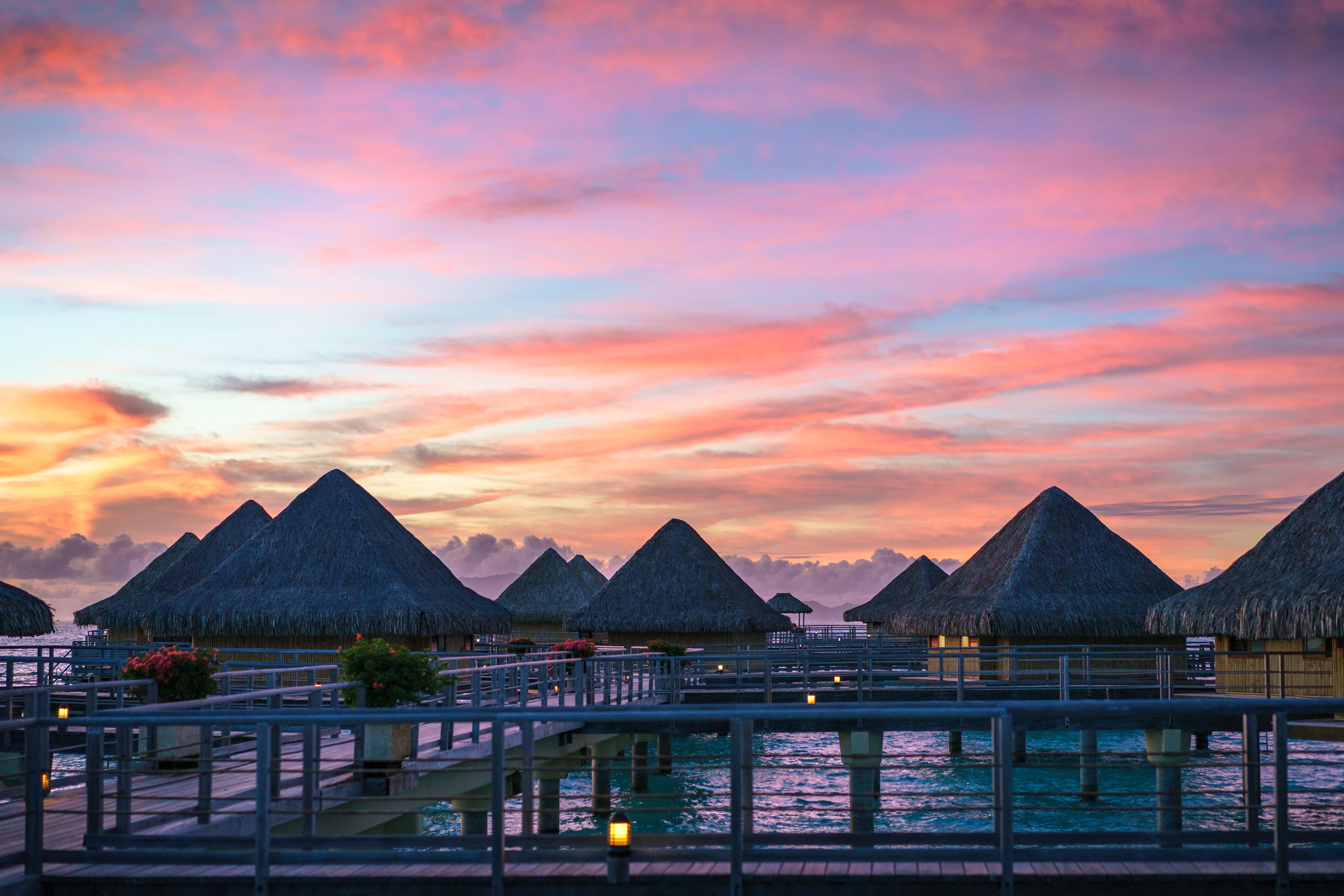
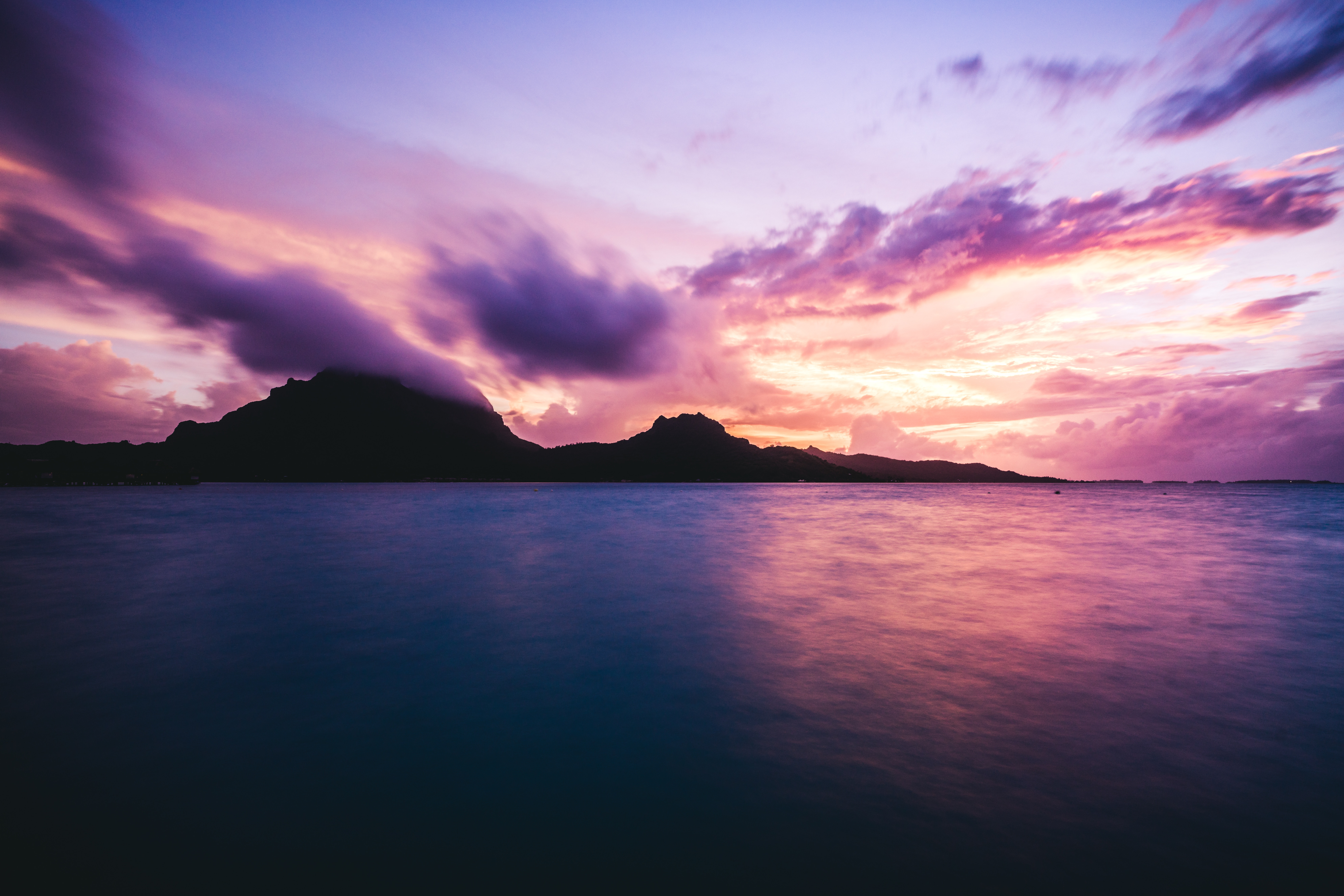
Simply saying the name Bora Bora is usually enough to induce gasps of jealousy, as images of milky blue water, sparkling white beaches and casually leaning palm trees immediately spring to mind. The imagination doesn't lie, either, and if you visit, you’ll soon realise this island is every bit as gorgeous as you ever imagined. Thatched wooden huts stand out over shallow, sparkling seawater, with vivid fish swirling just below. Soak up the sun, scuba dive, or simply revel in the opulent luxury of one of the island's many magnificent resorts. If blissful inactivity doesn't appeal, then get active, and hike the greenery of the sharp Mount Pahia.
About Moorea
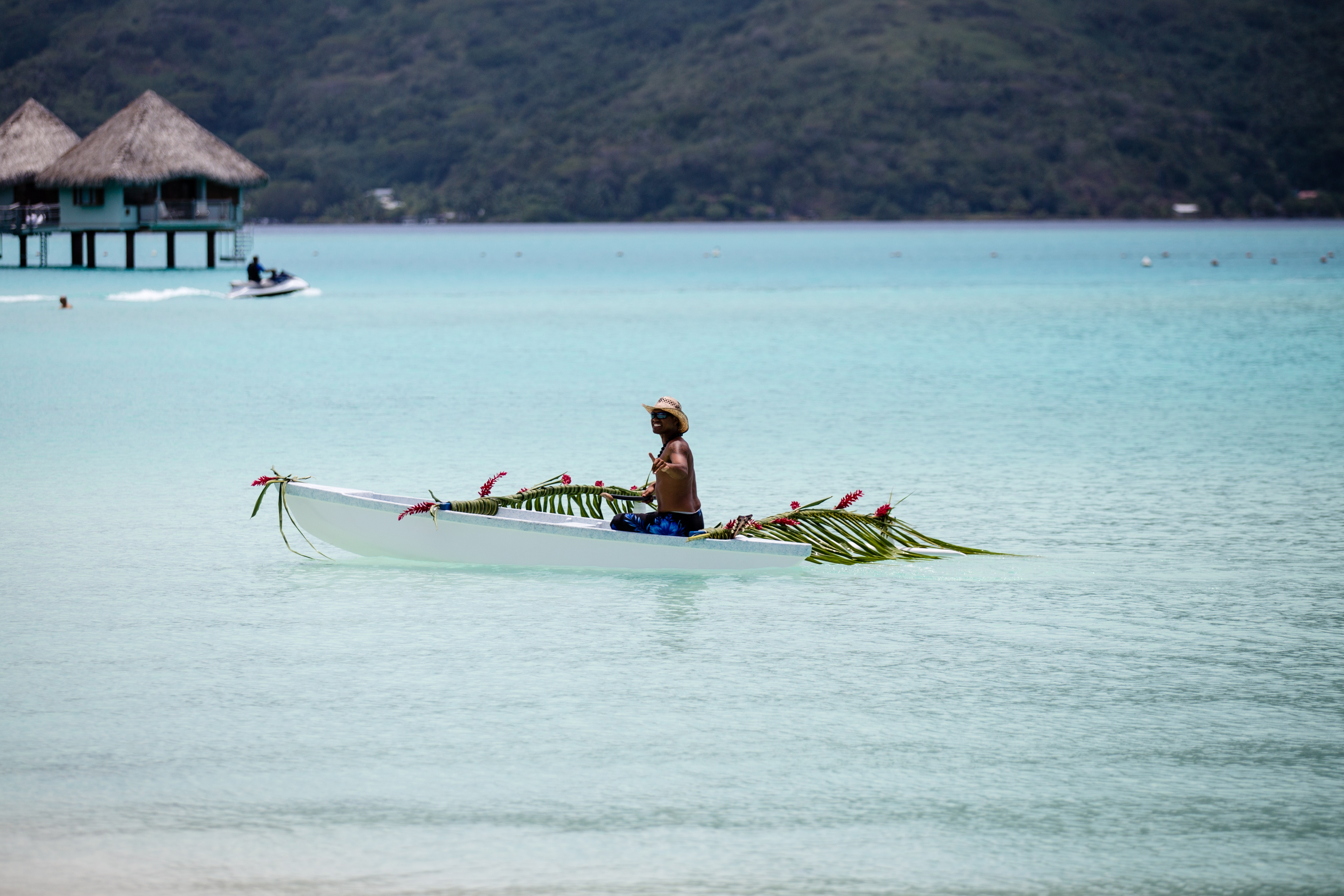
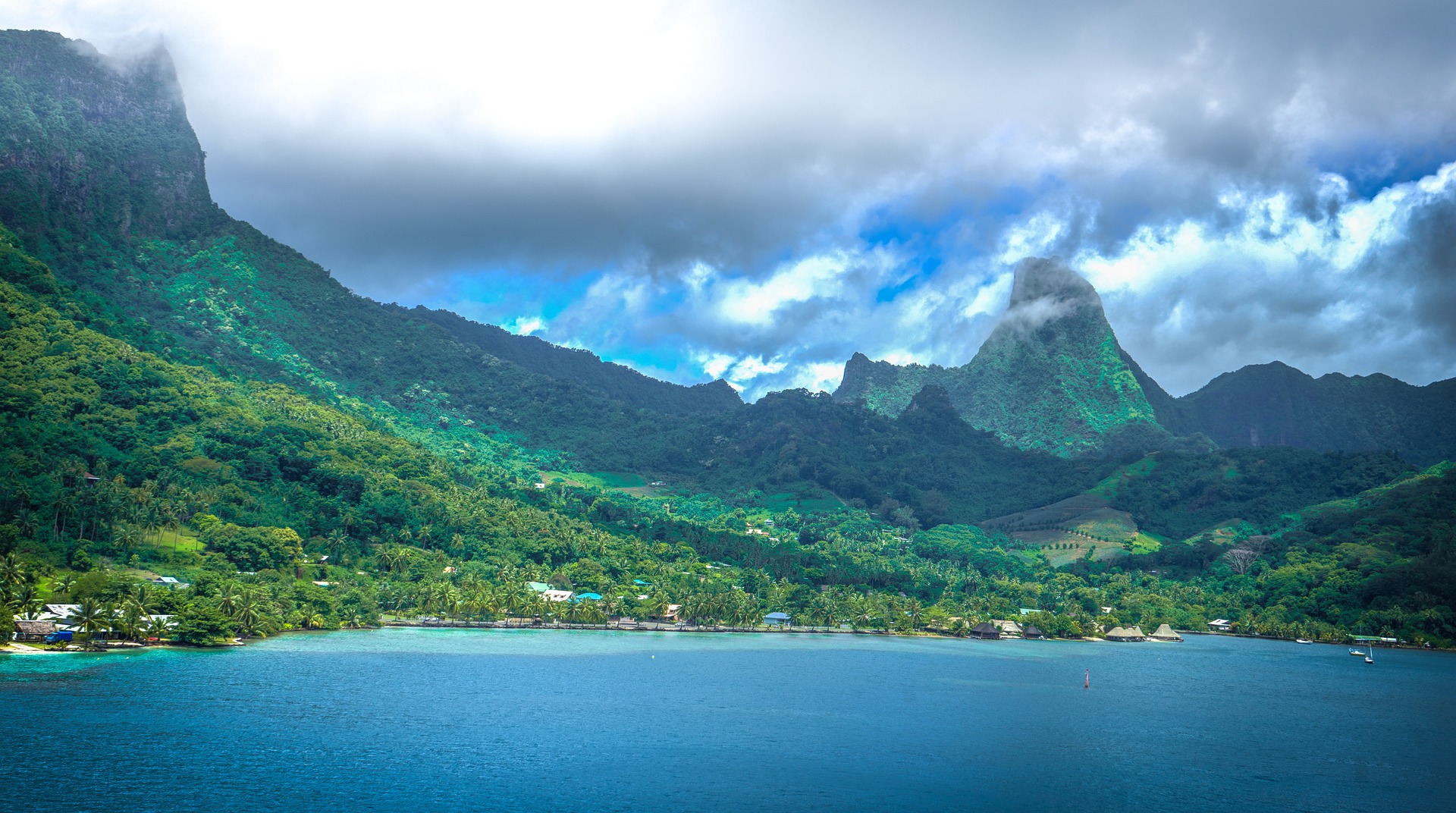
Mo’orea is one of the Society Islands of the French Polynesia. Located in the South Pacific, it is considered a magical island thanks to its majestic volcanic mountains, set against warm lagoon waters and green meadows. It is an island that attracts visitors of all abilities wanting to explore both above and below the ocean waters.
About Papeete, Tahiti
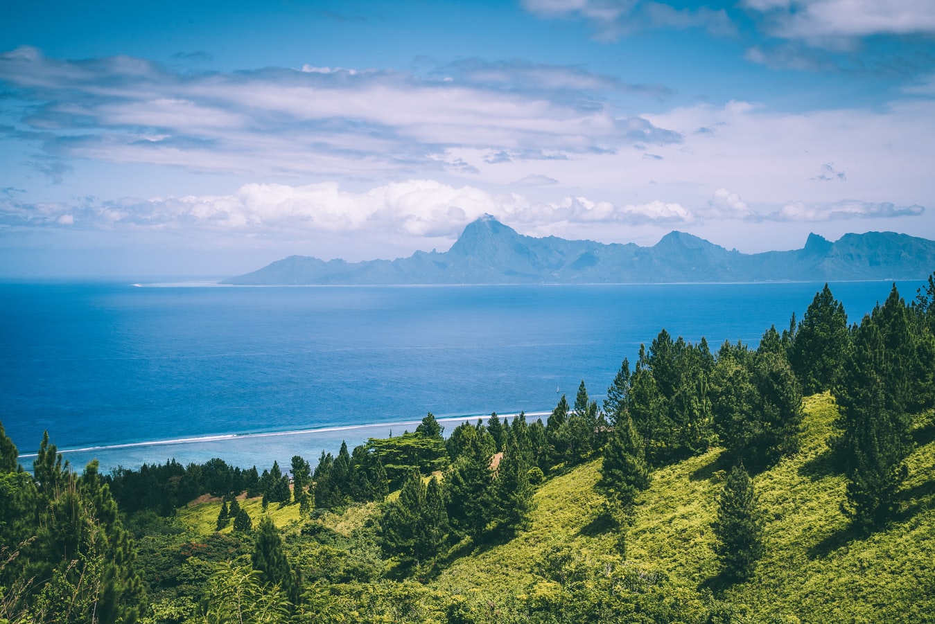
Papeete will be your gateway to the tropical paradise of French Polynesia, where islands fringed with gorgeous beaches and turquoise ocean await to soothe the soul. This spirited city is the capital of French Polynesia, and serves as a superb base for onward exploration of Tahiti – an island of breathtaking landscapes and oceanic vistas. Wonderful lagoons of crisp, clear water beg to be snorkelled, stunning black beaches and blowholes pay tribute to the island's volcanic heritage, and lush green mountains beckon you inland on adventures, as you explore extraordinary Tahiti. Visit to relax inside picturesque stilted huts, which stand out over shimmering water, as you settle into the intoxicating rhythm of life, in this Polynesian paradise.

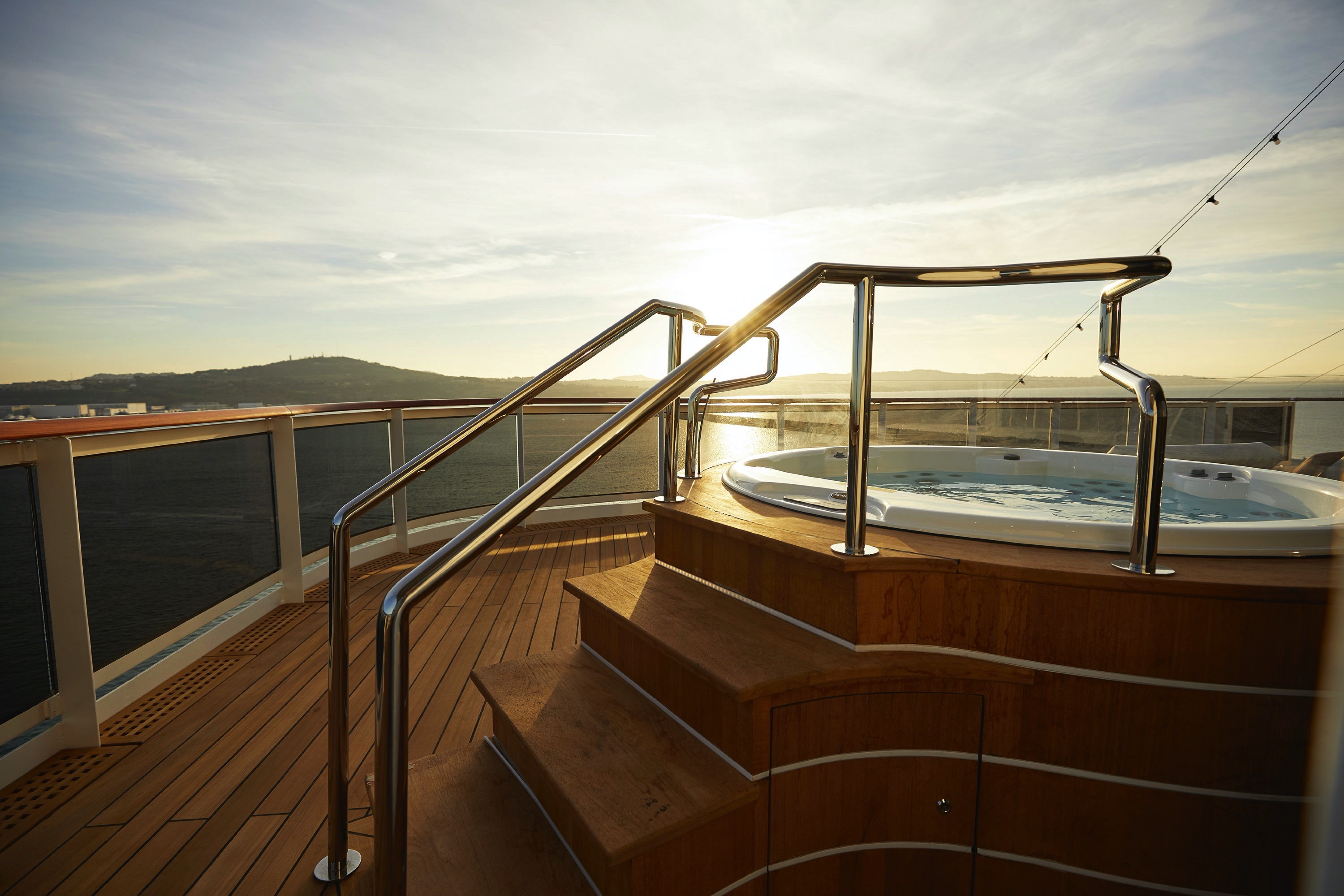
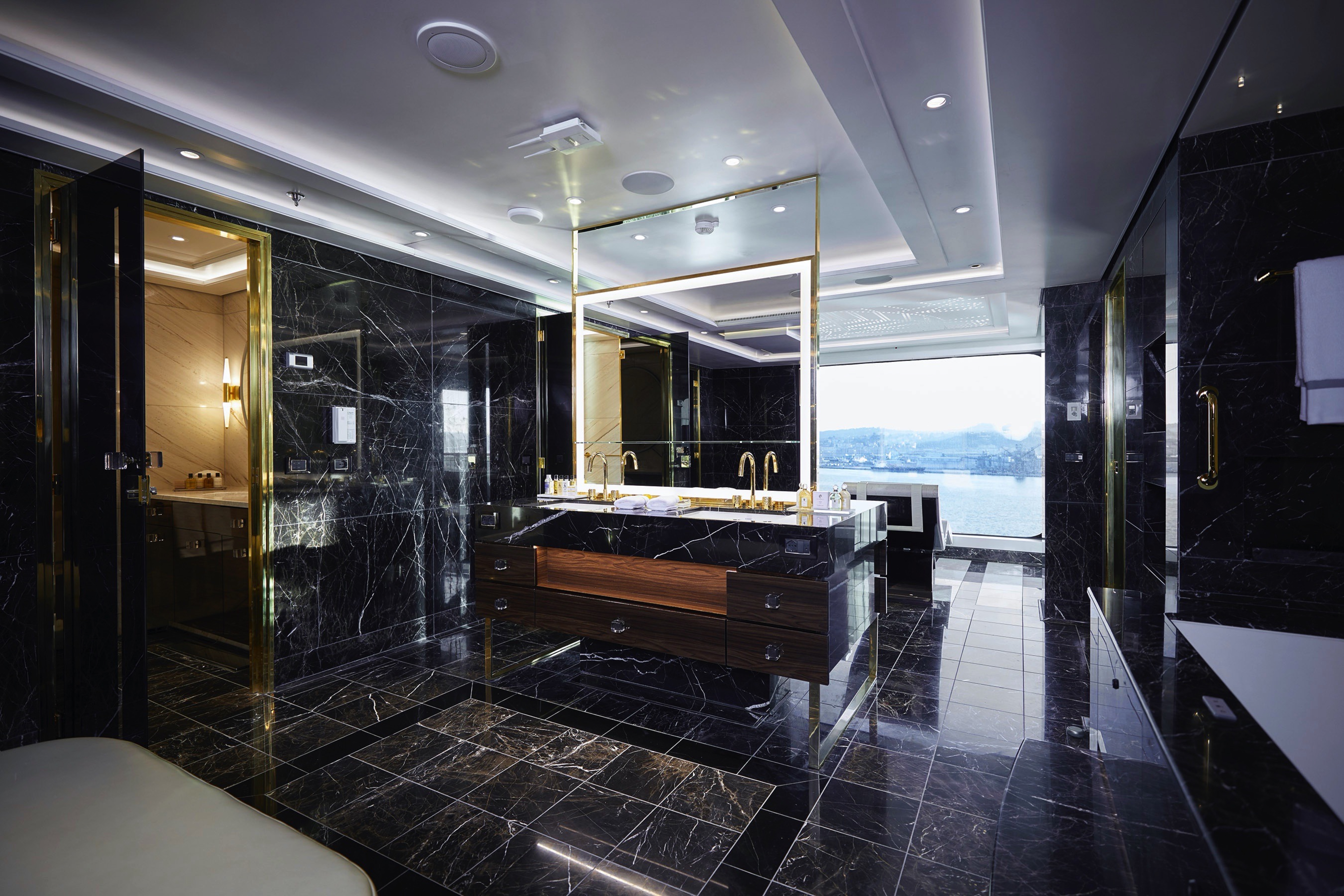
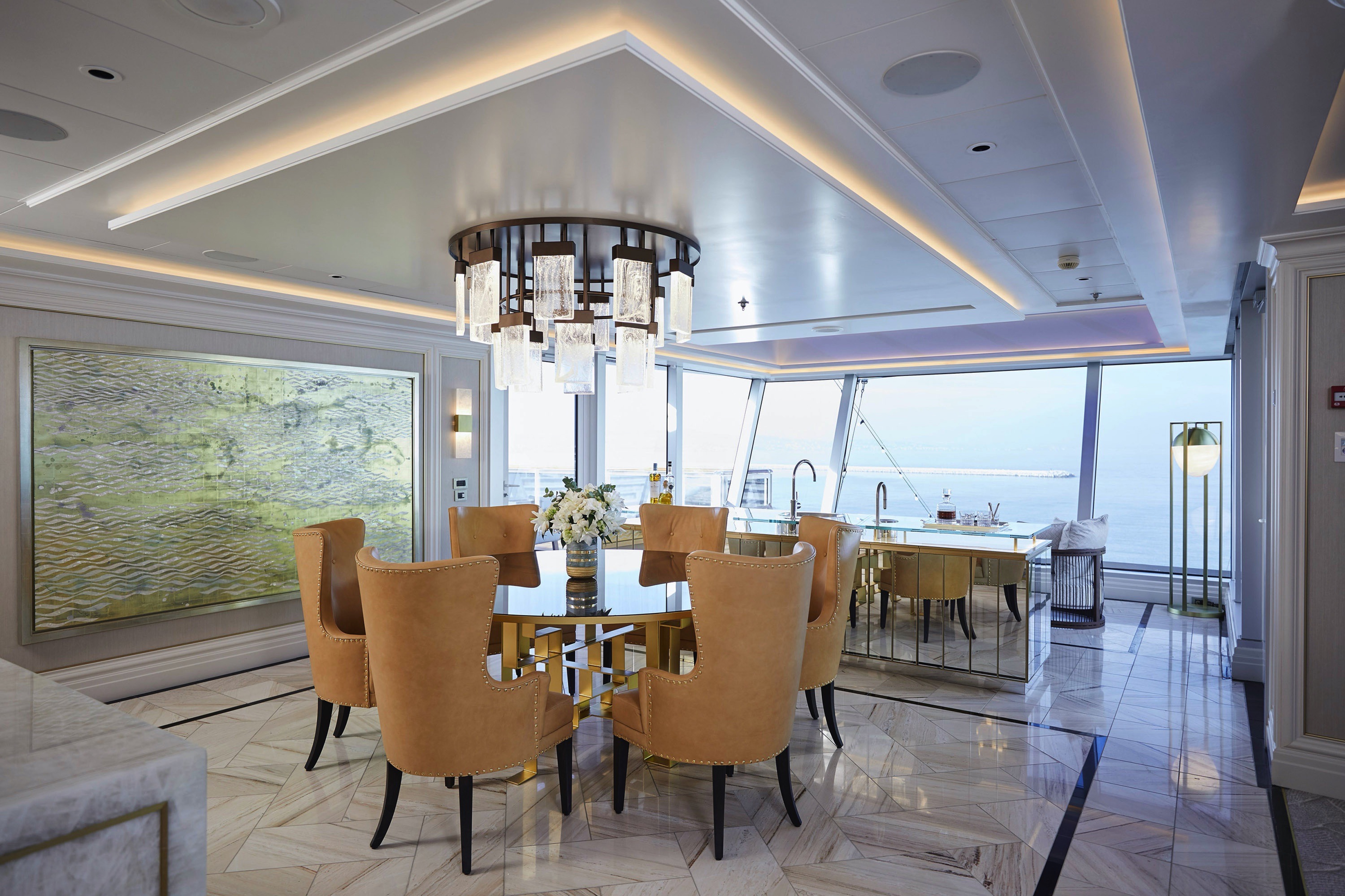
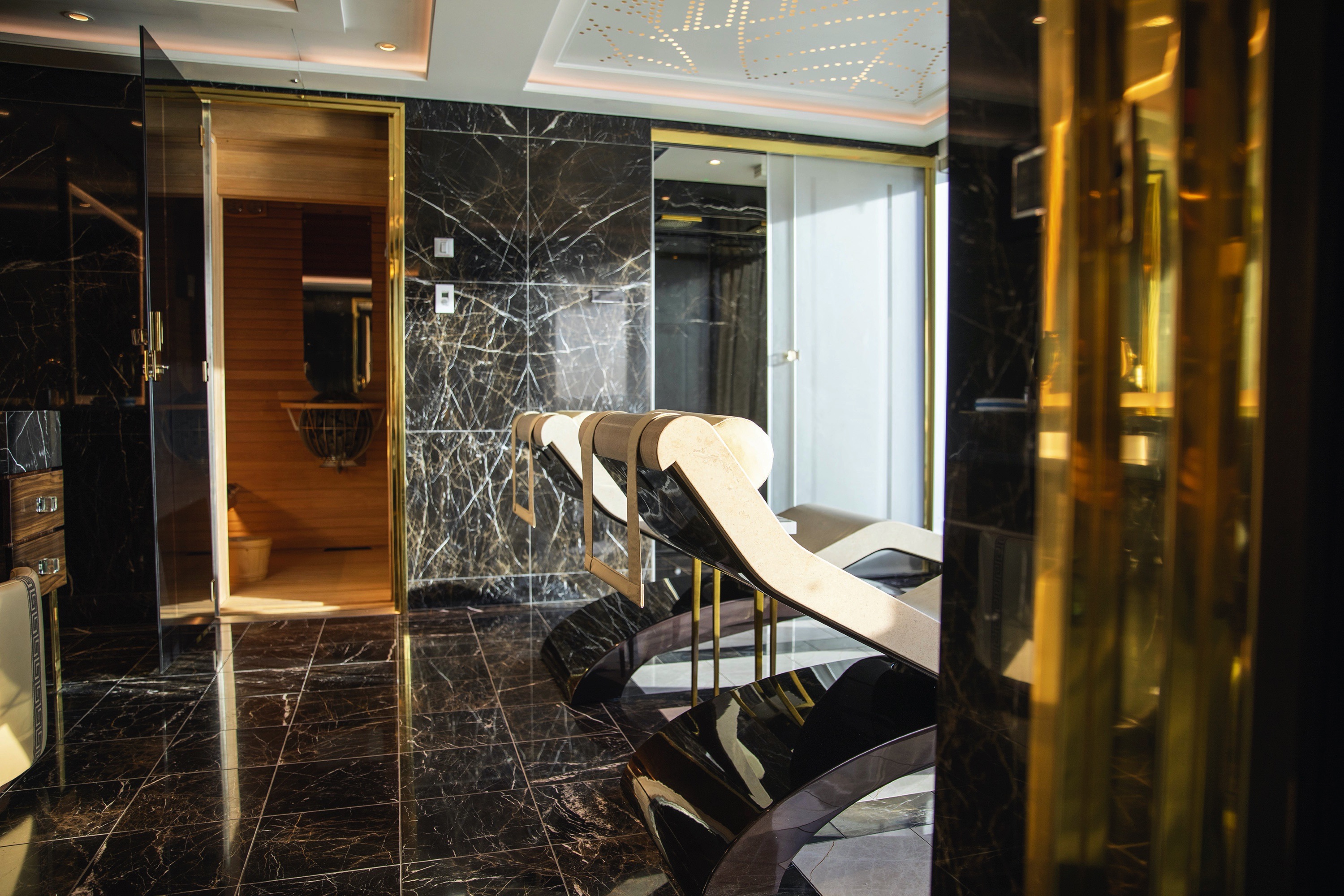
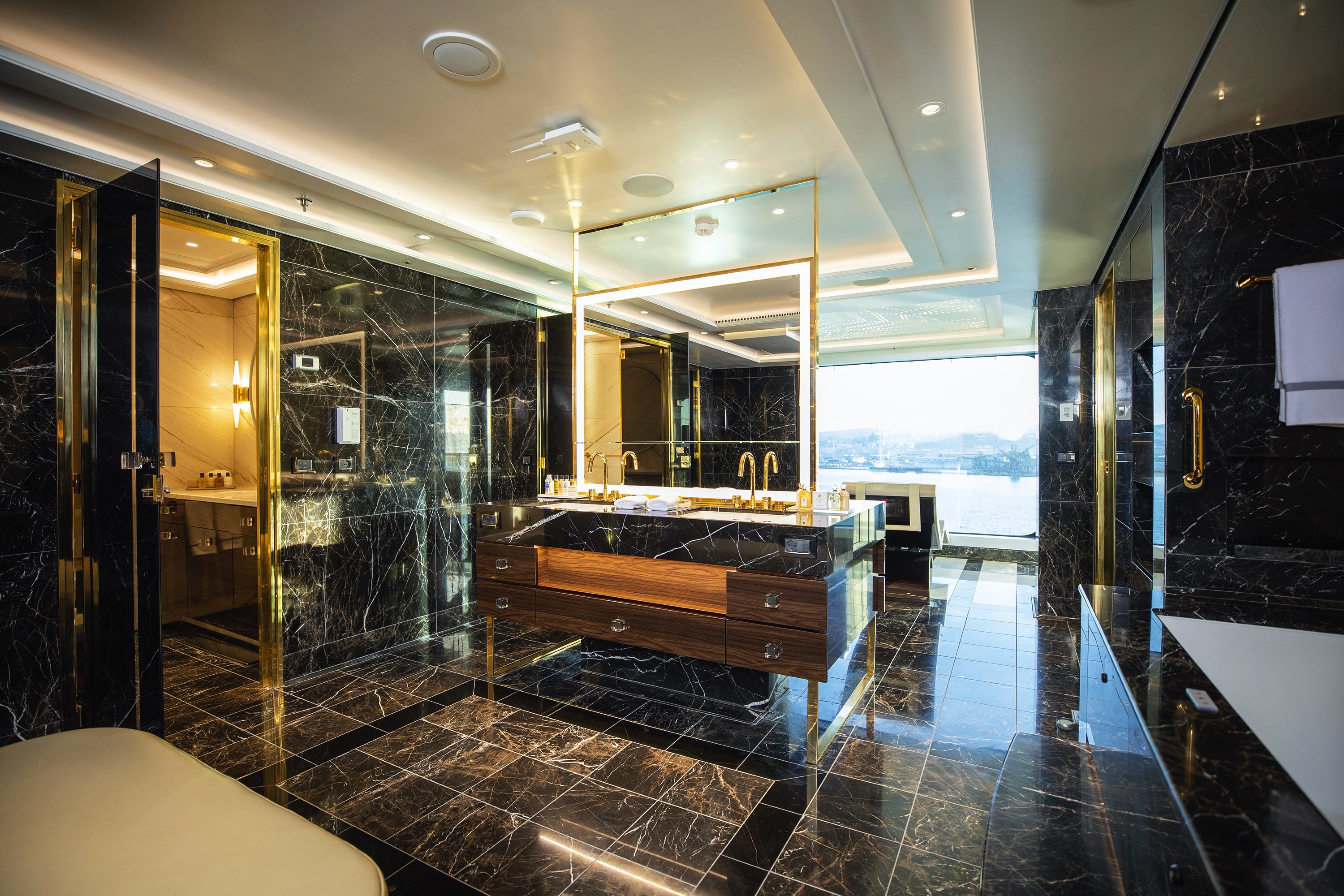
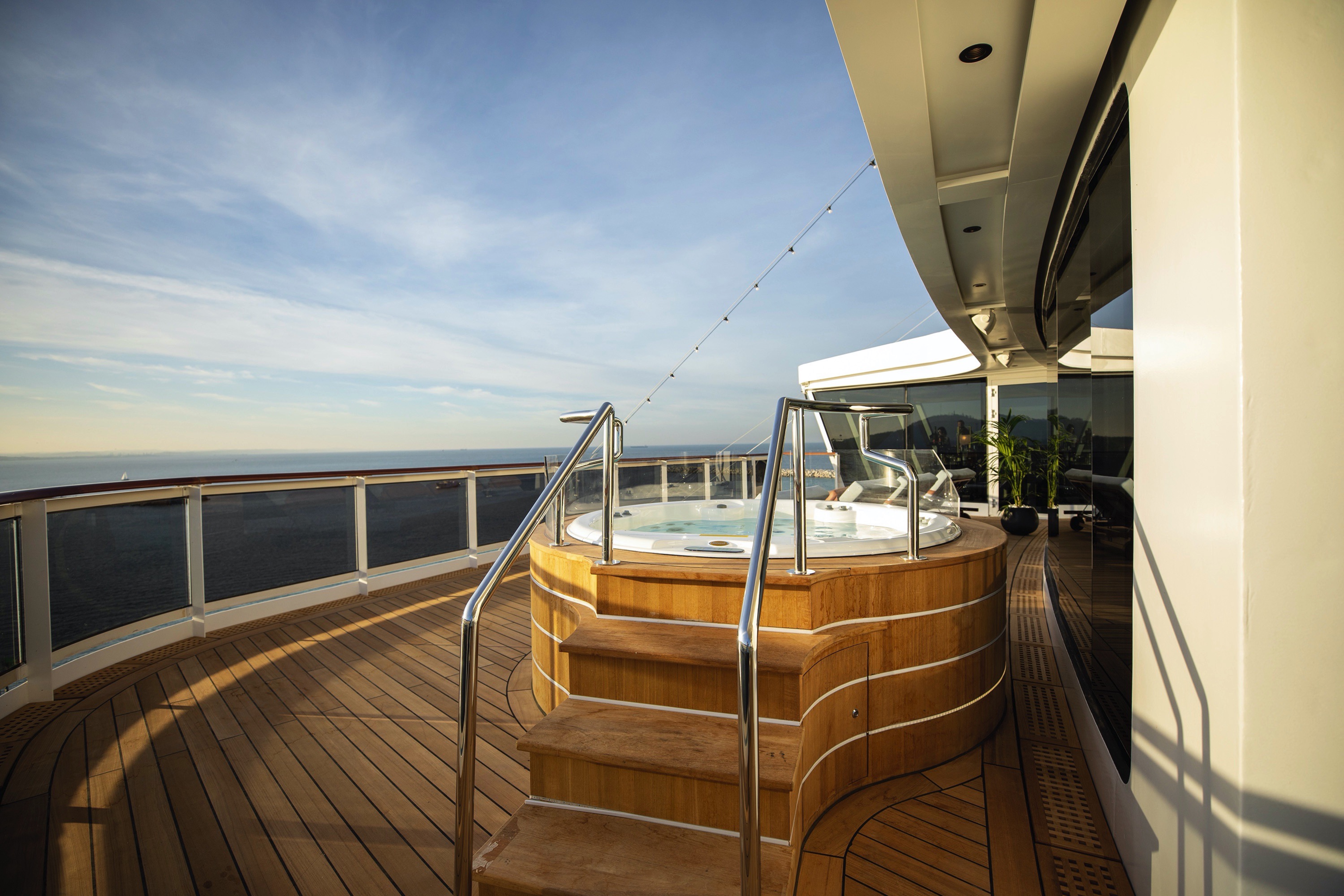
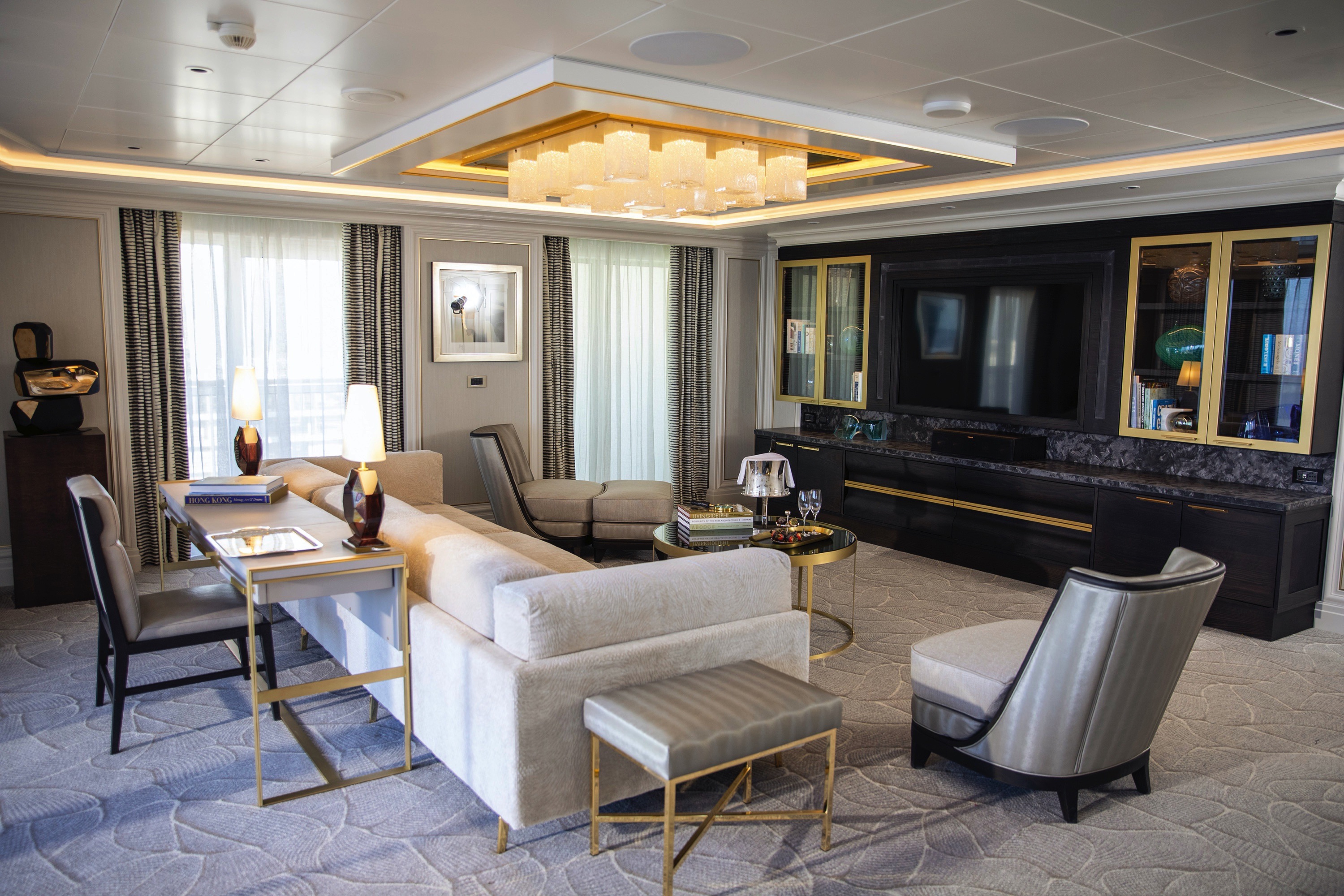
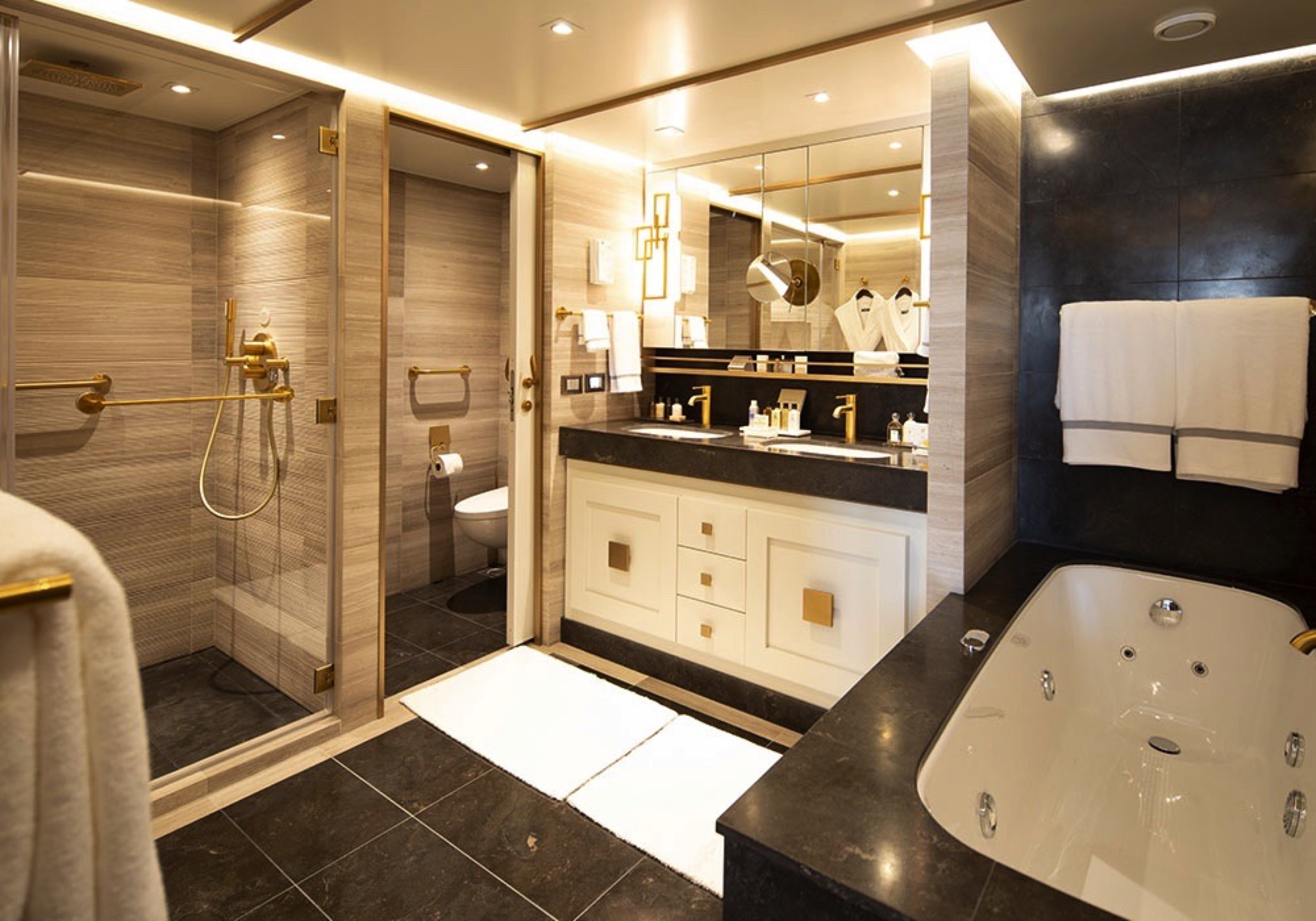
High atop the ship, this suite of more than 4,000 square feet (372 meters) rises above everything else at sea. Incomparable craftsmanship and meticulous attention to detail are evident in everything from the unique design choices, such as rare works of art, to grand features like an in-suite spa retreat — a first for any cruise ship. The only thing to rival the luxurious interior is the spectacular ocean view from the private balconies.
Layout
- 2 Spacious Bedrooms with King-Size Ḧastens Vividus Bed in Primary Bedroom (*Bed in primary bedroom cannot be converted into two beds.)
- 2 1/2 Marble & Stone Detailed Bathrooms, 1 with Jetted Tub
- 2 Private Balconies with Heated Minipool Spa
- Private In-Suite Spa with Sauna, Steam Room & Jacuzzi
- Spacious Living Room
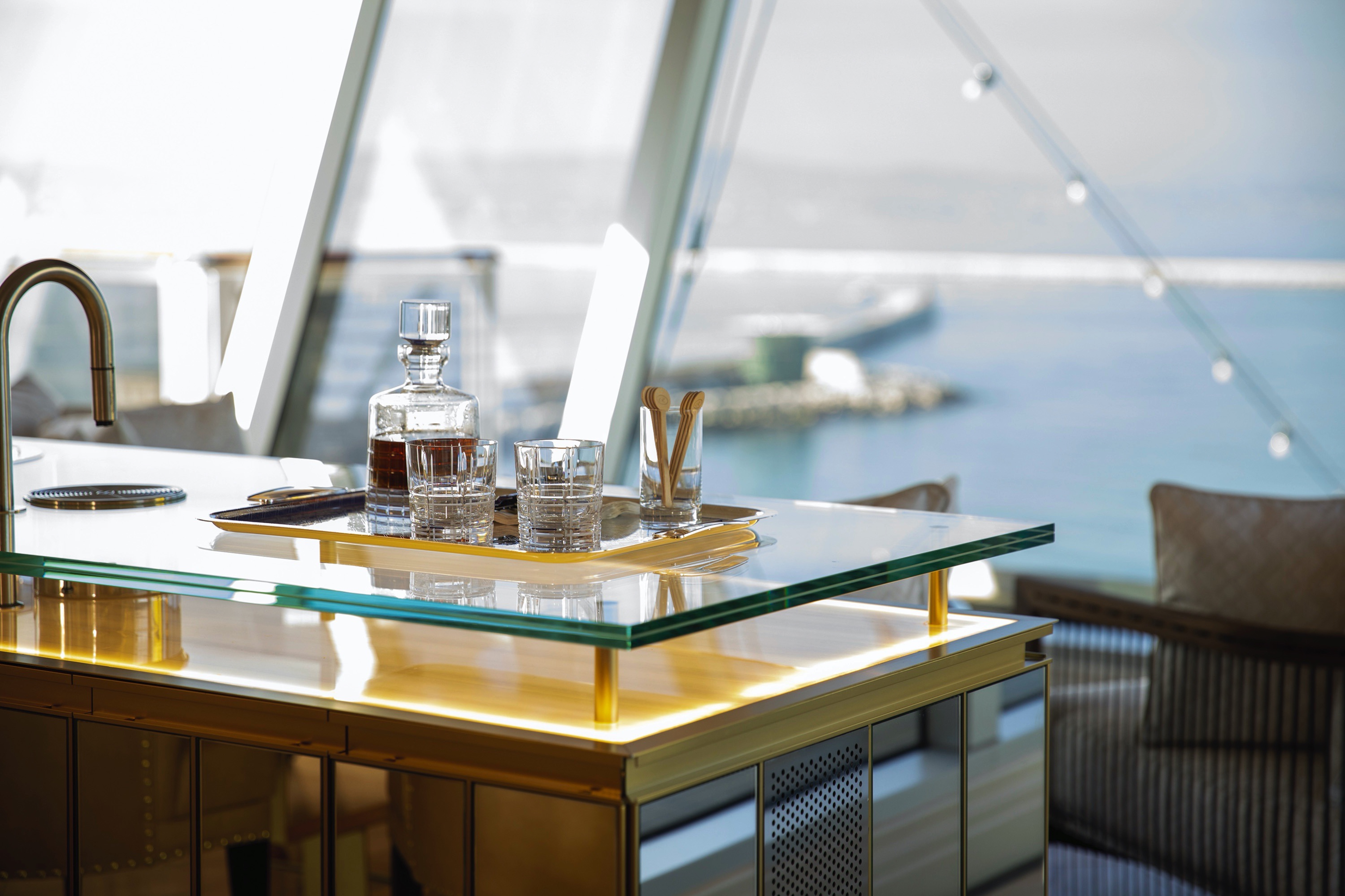
- Panoramic Ocean-View Bar
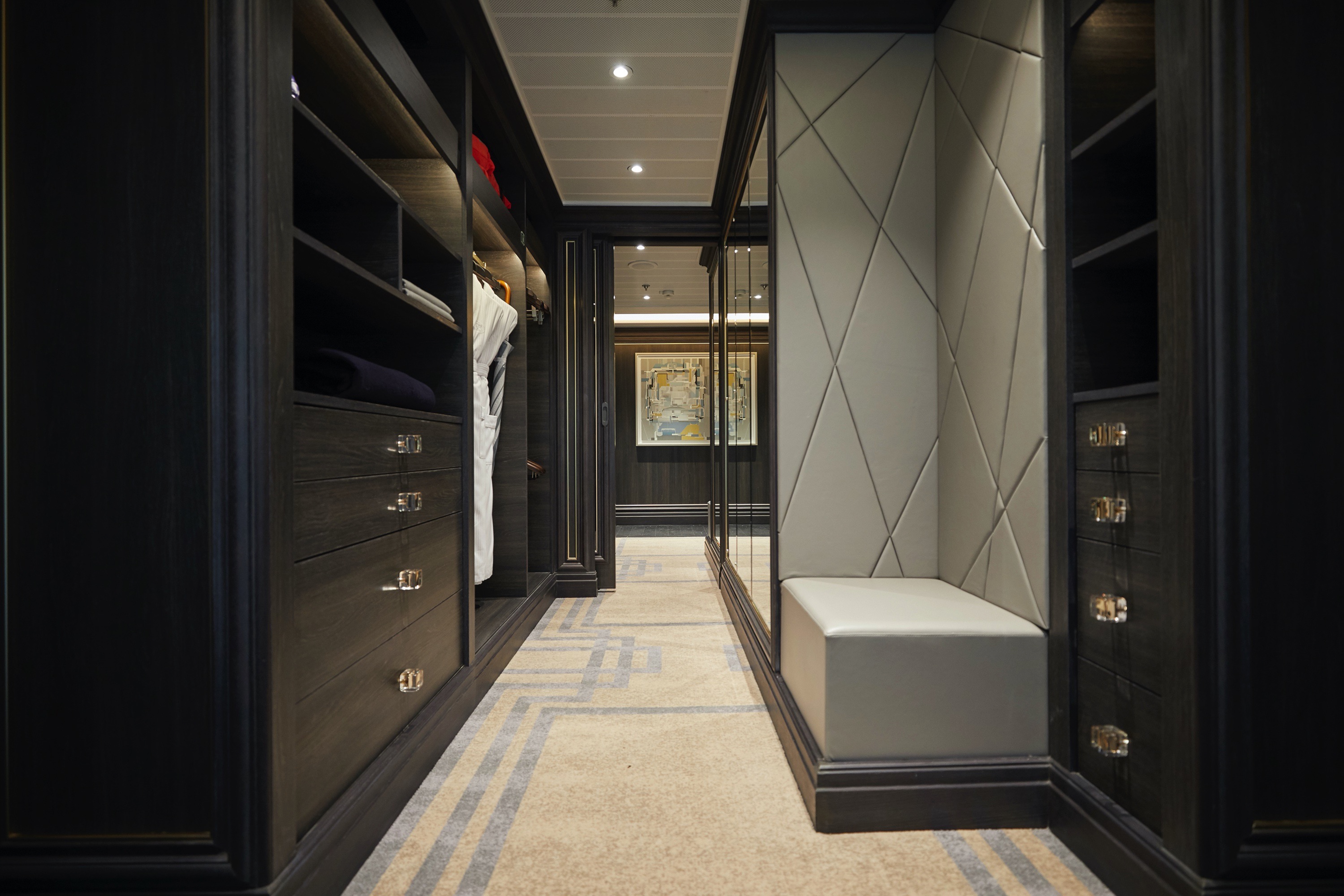
- 3 Walk-In Closets with 2 Safes
- Glass-Enclosed, Ocean-View Shower & Spa
- Private, Separately Located Dining Room for Up to 12 Guests
- Includes Up To 6 Guests
The suite pictured may differ from the suite booked, as layouts and designs vary by ship, deck, and suite location.
Amenities
- 1-Night Pre-Cruise: Hotel Package Including:
- - Ground Transfers
- - Breakfast
- - Porterage
- Unlimited WiFi and Streaming Package for up to Four Devices
- Valet Laundry Service
- 24-hour In-Suite Dining
- Fresh Orchid Arrangement
- L'Occitane® Jasmin & Bergamot Bath Amenities
- Regent Plush Bathrobe & Slippers
- Interactive Flat-Screen Television & Direct-Dial Satellite Phone
- Priority Access to Online Shore Excursion Reservations
- Priority Access to Online Dining Reservations
- Binoculars
- illy® Espresso Maker
- Cashmere Blankets
- Regent Special Gift
- Vanity & Hair Dryer
- Shoe Shine Service
- Additional Discounts:
- - 10% Discount on Ultra Premium Wine and Liquor
- - 5% Savings on Pre- or Post-Cruise Hotel or Land Programs
- - 5% Savings on Regent Choice Shore Excursions
- Additional Regent Suites Amenities:
- Personal Car & Guide to Explore Ashore
- Daily Serene Spa & Wellness™ Services with Priority Reservations
- Access to The Study, a Private Dining Room for up to 12 Guests
- Unlimited Dry Cleaning
- Guaranteed Reservation Each Night in Specialty Restaurant of Your Choice
- Welcome Letter from the President and General Manager
- Personal Butler for an Elevated In-suite Experience
- - In-Suite Dining Menu Including Specialty Restaurant Selections During Dining Hours
- Priority Boarding on Embarkation Day with Suite Access at Noon
- Marzotto Cristallo Silk & Cashmere with Fringe Throw
- Welcome Bottle of Dom Pérignon Champagne
- Remy Martin Louis XIII Cognac 50ml
- Personalized In-Suite Full-Liquor Bar Set-Up
- A Sumptuous In-Suite Caviar Service Once During Cruises
- Complimentary In-Suite Cocktail Party for 8
- Complimentary 25-Minute Personal Fitness Session at the Serene Spa & Wellness™ Fitness Center
- Daily Canapés
- Tea Forté Set-Up
- Luxe Fruit Arrangement with Chocolate Leonidas
- Choice of Luxurious Designer Bath Amenities
- Spa Accessories & Spongology Collection
- Dyson Hairdryer
- Selection of Fig & Tea Leaves Bath Salts
- Guerlain Bath Amenities & Men's Unscented Shaving Kit
- Bath Scale Setup
- Wallet Make Up Brush Set / Hairbrush & Combo Set
- Bose® SoundLink Mini II Bluetooth Speaker
- Selection of Bed Pillow Styles
- Linen Menu
- Complimentary Garment Pressing on First Night
- Personalized Stationery upon request
- Elegant Weather Clock
- Excursion Bag
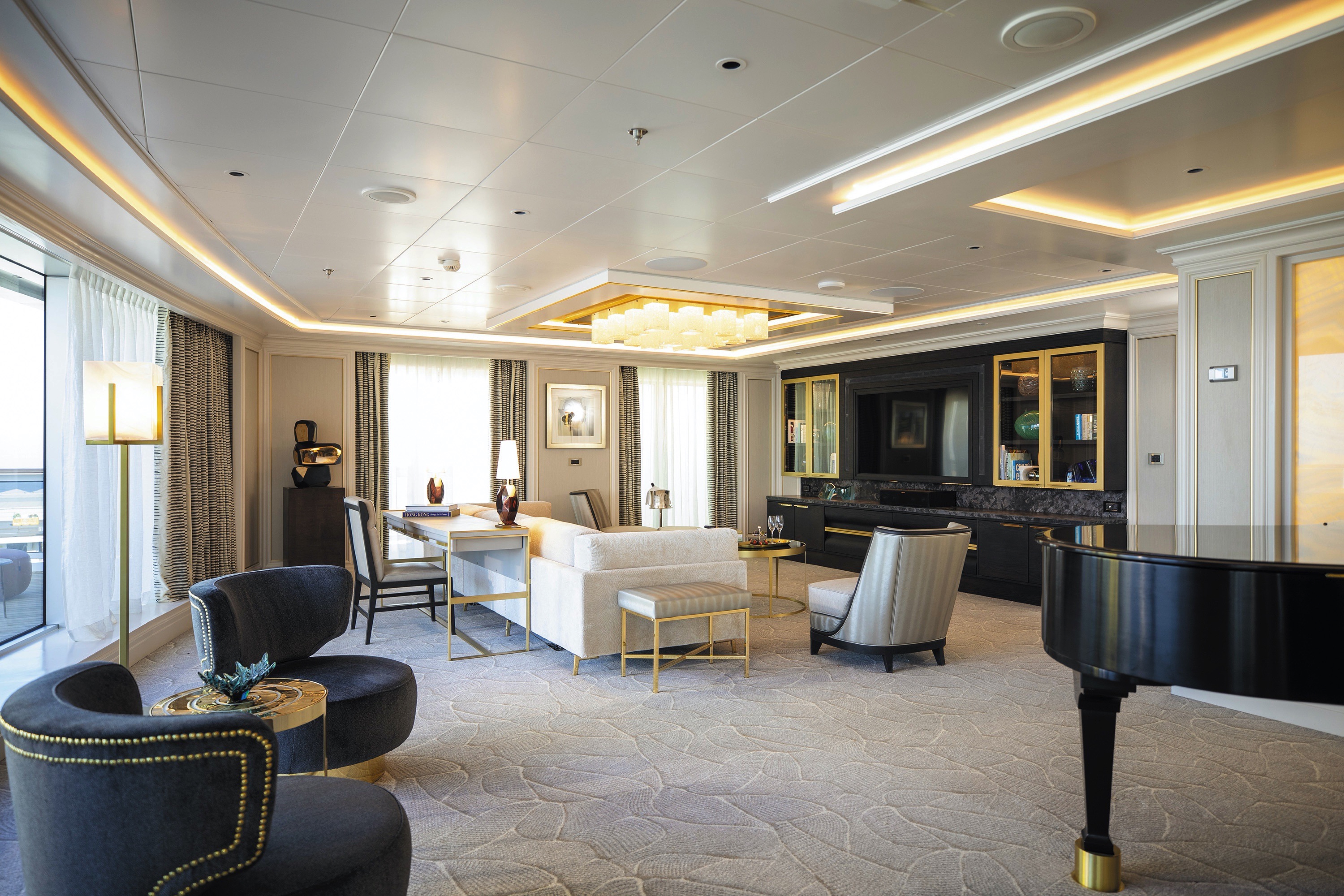

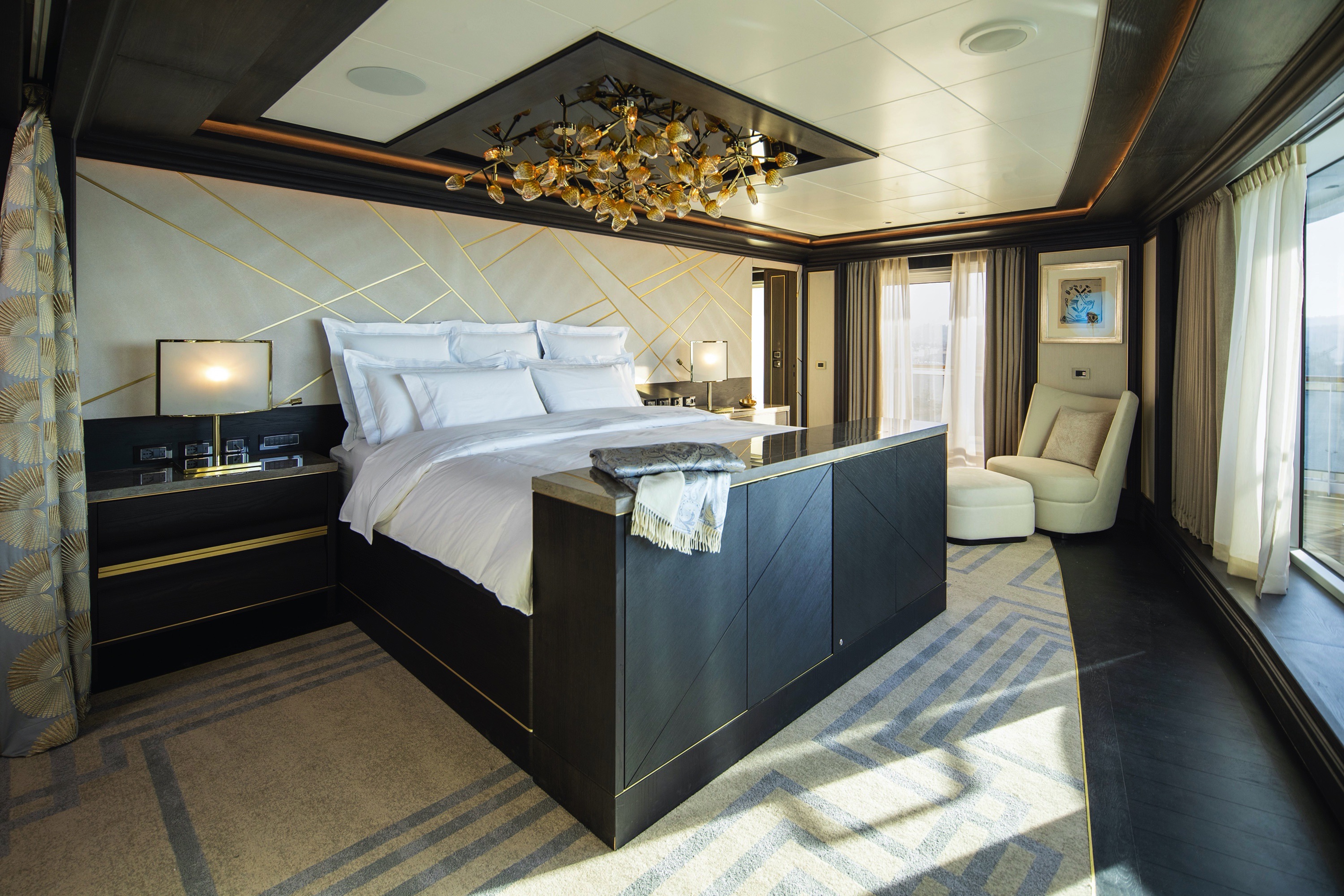
You'll find Park Avenue chic onboard Seven Sea Splendor® in this extravagant, stylish suite. A rich color palette, the finest fabrics and a grand piano create sophisticated comfort, while a personal butler will happily assist with both ordinary and special requests. With two spacious bedrooms, two-and-a-half baths, a large living room and a wrap-around private balcony, this suite is perfectly suited to host gatherings of new friends.
Layout
- 2 Spacious Bedroom with a European King-Size Elite Slumber® Bed (*Bed in primary bedroom cannot be converted into two beds.)
- 2 Marble & Stone Detailed Bathrooms
- Private Balcony
- Sitting Area
- Walk-In Closet with Safe
- Includes Up To 6 Guests
The suite pictured may differ from the suite booked, as layouts and designs vary by ship, deck, and suite location.
Amenities
- 1-Night Pre-Cruise: Hotel Package Including:
- - Ground Transfers
- - Breakfast
- - Porterage
- Unlimited WiFi and Streaming Package for up to Four Devices
- Valet Laundry Service
- 24-hour In-Suite Dining
- Fresh Orchid Arrangement
- L'Occitane® Jasmin & Bergamot Bath Amenities
- Regent Plush Bathrobe & Slippers
- Interactive Flat-Screen Television & Direct-Dial Satellite Phone
- Priority Access to Online Shore Excursion Reservations
- Priority Access to Online Dining Reservations
- Binoculars
- illy® Espresso Maker
- Cashmere Blankets
- Regent Special Gift
- Vanity & Hair Dryer
- Shoe Shine Service
- Additional Discounts:
- - 10% Discount on Ultra Premium Wine and Liquor
- - 5% Savings on Pre- or Post-Cruise Hotel or Land Programs
- - 5% Savings on Regent Choice Shore Excursions
Additional Signature Suite Amenities:
- Guaranteed Reservation Each Night in Specialty Restaurant of Your Choice
- Welcome Letter from the President and General Manager
- Personal Butler for an Elevated In-suite Experience
- - In-Suite Dining Menu Including Specialty Restaurant Selections During Dining Hours
- Priority Boarding on Embarkation Day with Suite Access at Noon
- Marzotto Cristallo Silk & Cashmere with Fringe Throw
- Welcome Bottle of Premium Champagne
- Personalized In-Suite Full-Liquor Bar Set-Up
- A Sumptuous In-Suite Caviar Service Once During Cruises
- Complimentary In-Suite Cocktail Party for 8
- Complimentary 25-Minute Personal Fitness Session at the Serene Spa & Wellness™ Fitness Center
- Daily Canapés
- Tea Forté Set-Up
- Luxe Fruit Arrangement with Chocolate Leonidas
- Luxurious Designer Bath Amenities & Men's Unscented Shaving Kit
- Dyson Hairdryer
- Selection of Fig & Tea Leaves Bath Salts
- Guerlain Bath Amenities & Men's Unscented Shaving Kit
- Bath Scale Setup
- Bose® SoundLink Mini II Bluetooth Speaker
- Selection of Bed Pillow Styles
- Complimentary Garment Pressing on First Night
- Personalized Stationery upon request
- Elegant Weather Clock
- Excursion Bag
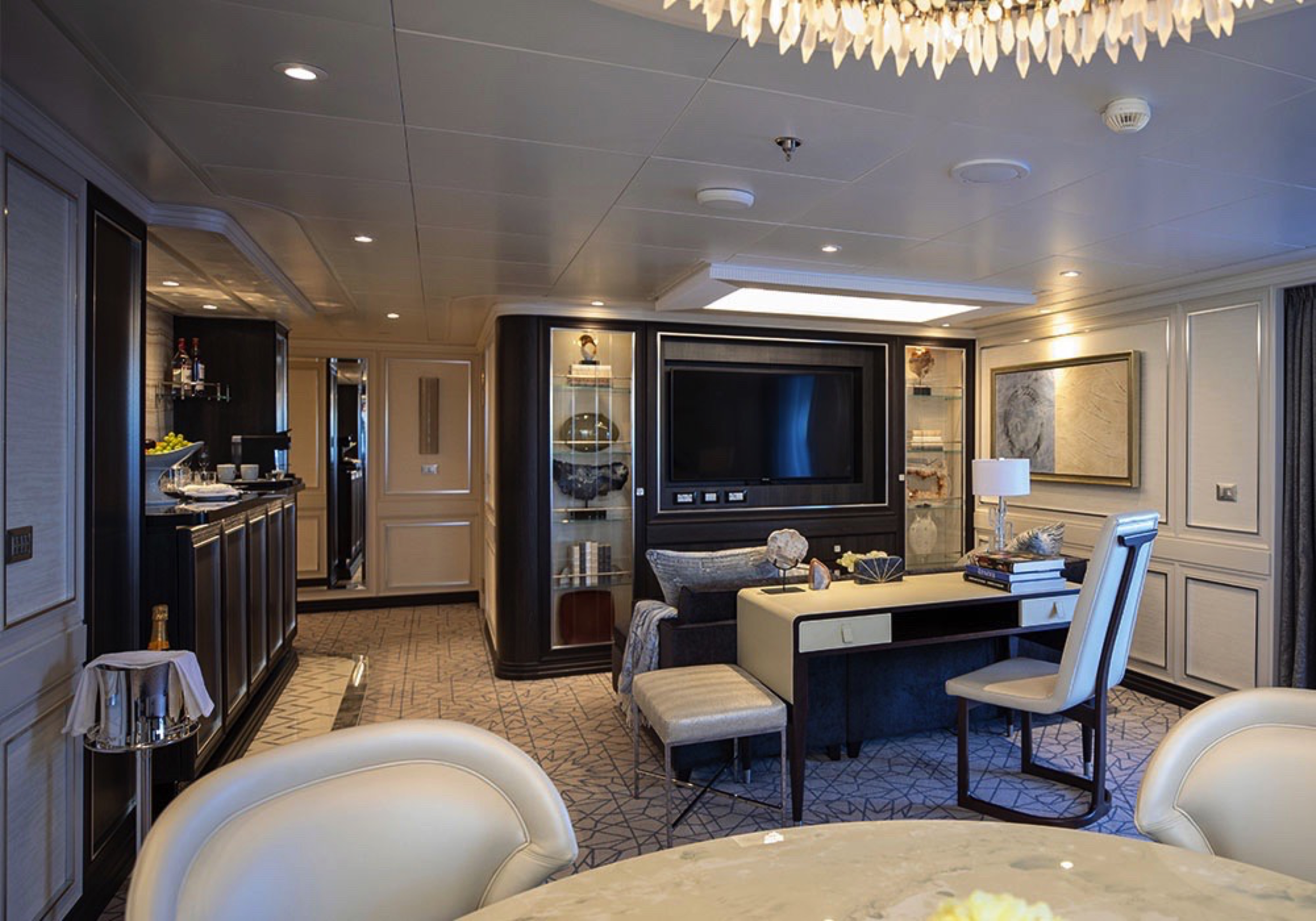
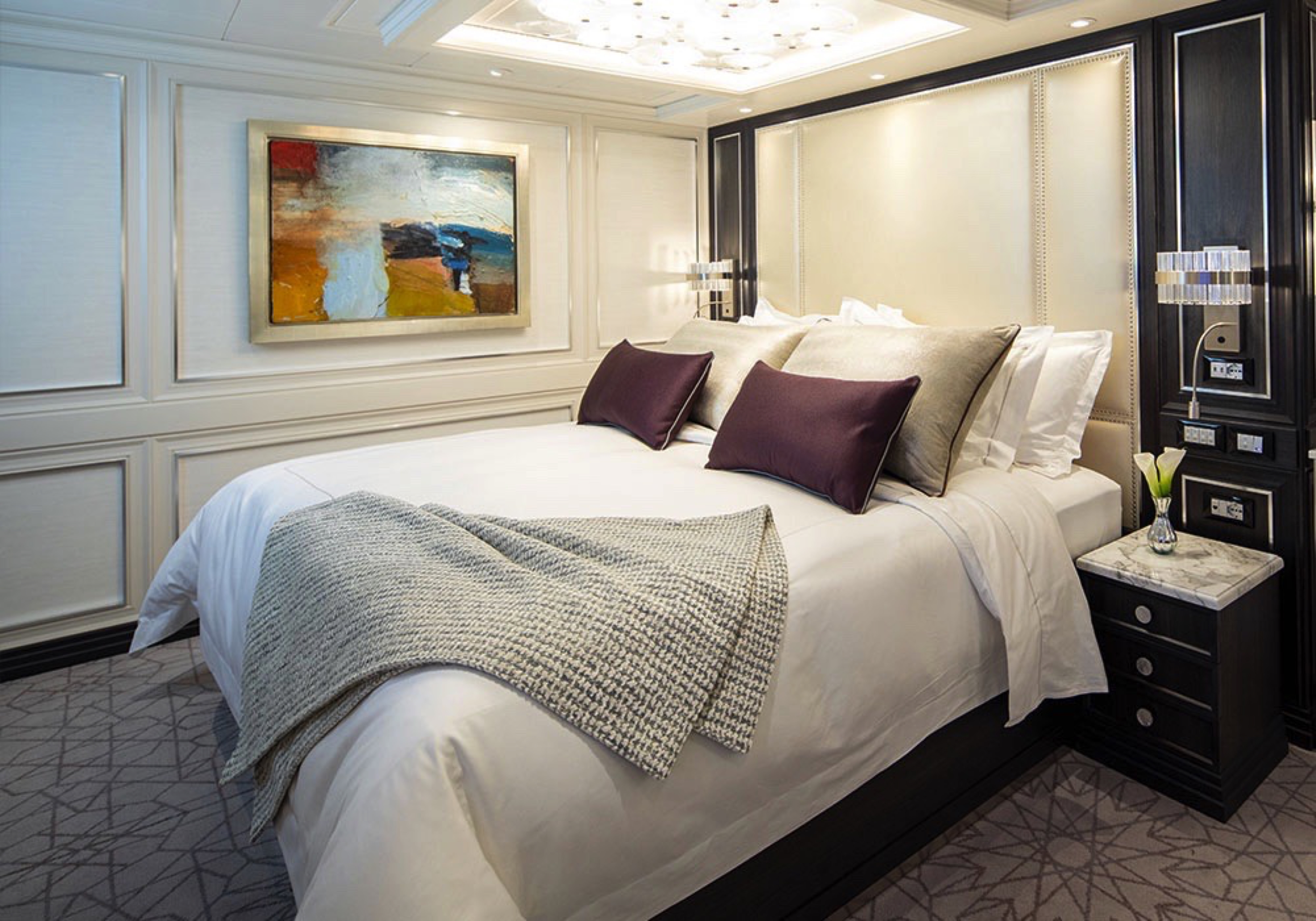


Step into the richness of an emerald green dining area perfectly ensconced within a spacious, sumptuous living room. Just outside is a private balcony with a table and chairs, perfect for in-suite breakfast. The private bedroom is large and inviting, its soothing color palette perfect for a peaceful night’s rest on your King-Size Elite Slumber™ Bed. Two full baths make it a perfect space for entertaining new friends on the high seas.
The suite pictured may differ from the suite booked, as layouts and designs vary by ship, deck, and suite location.
Layout
- 1 Spacious Bedroom with a European King-Size Elite Slumber® Bed (*Bed cannot be converted into two beds.)
- 2 Marble & Stone Detailed Bathrooms
- Private Balcony
- Sitting Area
- Walk-In Closet with Safe
- Accommodates Up To 3 Guests
The suite pictured may differ from the suite booked, as layouts and designs vary by ship, deck, and suite location.
Amenities
- 1-Night Pre-Cruise: Hotel Package Including:
- - Ground Transfers
- - Breakfast
- - Porterage
- Unlimited WiFi Includes up to Four Logins, Four Devices, per Suite
- Valet Laundry Service
- 24-hour In-Suite Dining
- Fresh Orchid Arrangement
- L'Occitane® Jasmin & Bergamot Bath Amenities
- Regent Plush Bathrobe & Slippers
- Interactive Flat-Screen Television & Direct-Dial Satellite Phone
- Priority Access to Online Shore Excursion Reservations
- Priority Access to Online Dining Reservations
- Binoculars
- illy® Espresso Maker
- Cashmere Blankets
- Regent Special Gift
- Vanity & Hair Dryer
- Shoe Shine Service
- Additional Discounts:
- - 10% Discount on Ultra Premium Wine and Liquor
- - 5% Savings on Pre- or Post-Cruise Hotel or Land Programs
- - 5% Savings on Regent Choice Shore Excursions
Additional Grand Suite Amenities:
- Guaranteed Reservation Each Night in Specialty Restaurant of Your Choice
- Welcome Letter from the President and General Manager
- Personal Butler for an Elevated In-suite Experience
- - In-Suite Dining Menu Including Specialty Restaurant Selections During Dining Hours
- Priority Boarding on Embarkation Day with Suite Access at Noon
- Marzotto Cristallo Silk & Cashmere with Fringe Throw
- Welcome Bottle of Premium Champagne
- Personalized In-Suite Full-Liquor Bar Set-Up
- A Sumptuous In-Suite Caviar Service Once During Cruises
- Complimentary In-Suite Cocktail Party for 8
- Complimentary 25-Minute Personal Fitness Session at the Serene Spa & Wellness™ Fitness Center
- Daily Canapés
- Tea Forté Set-Up
- Luxe Fruit Arrangement with Chocolate Leonidas
- Luxurious Designer Bath Amenities & Men's Unscented Shaving Kit
- Dyson Hairdryer
- Selection of Fig & Tea Leaves Bath Salts
- Guerlain Bath Amenities & Men's Unscented Shaving Kit
- Bath Scale Setup
- Bose® SoundLink Mini II Bluetooth Speaker
- Selection of Bed Pillow Styles
- Complimentary Garment Pressing on First Night
- Personalized Stationery upon request
- Elegant Weather Clock
- Excursion Bag


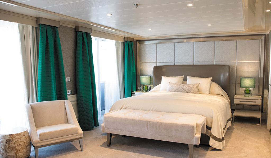
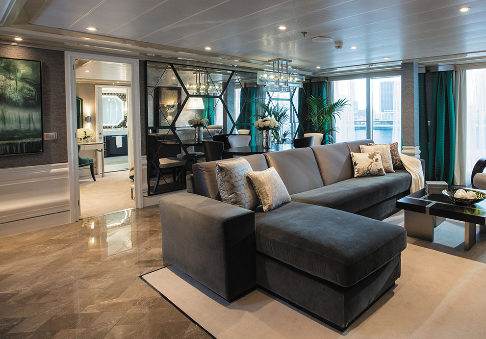
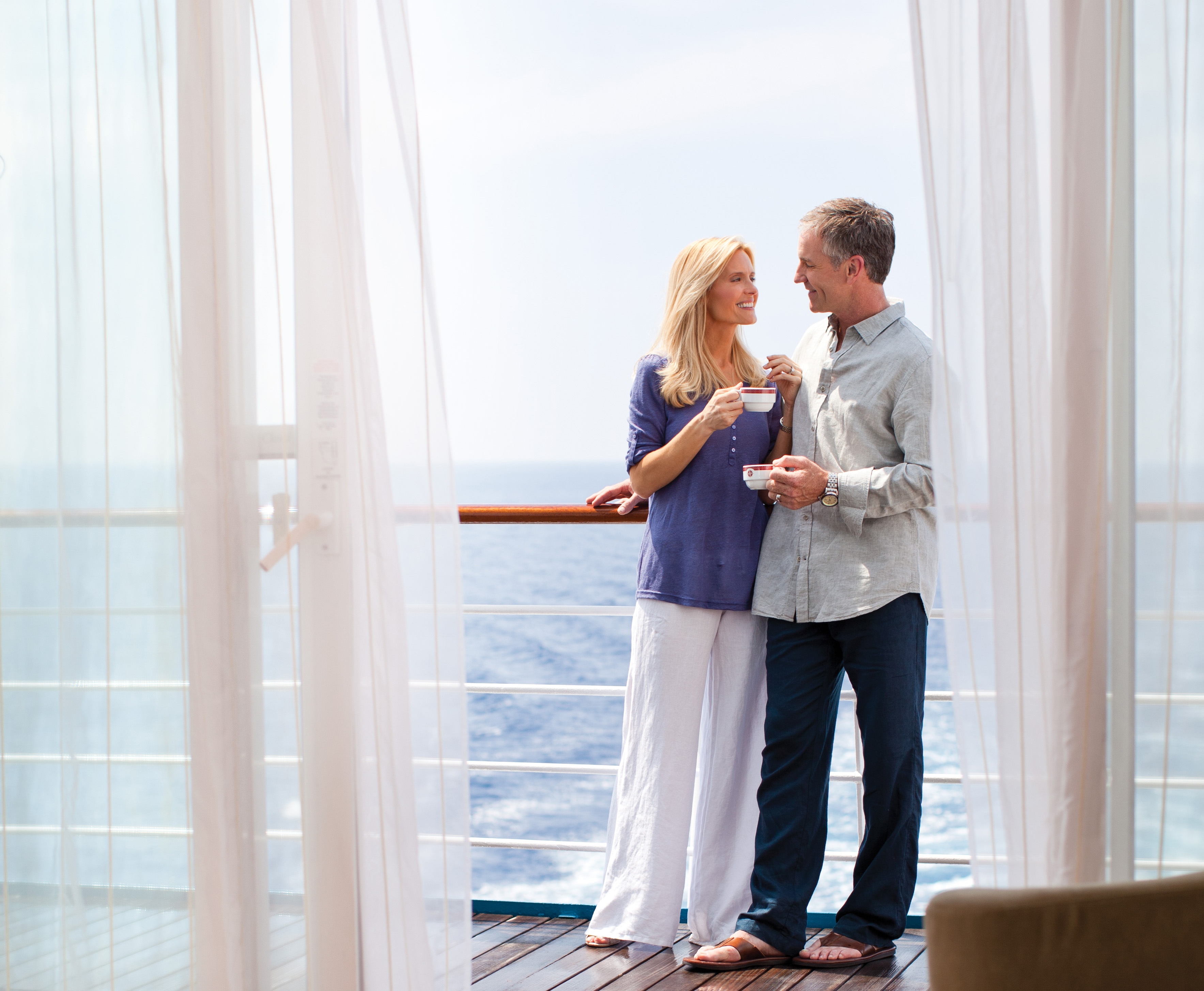
This home away from home is larger than some penthouse apartments, with more than 900 square feet (274.3 meters) of living space that includes a large private balcony. The sleek design provides ample space for relaxing or entertaining, and the walk-in closet comfortably stores your belongings. As if having a personal butler and daily canapés weren’t enough, you’ll also enjoy a personalized full-liquor bar set-up and a sumptuous in-suite caviar service.
Layout
- 1 Spacious Bedroom with a European King-Size Elite Slumber® Bed
- 1 1/2 Marble & Stone Detailed Bathrooms
- Private Balcony
- Sitting Area
- Walk-In Closet with Safe
- Accommodates Up To 3 Guests
The suite pictured may differ from the suite booked, as layouts and designs vary by ship, deck, and suite location.
Amenities
- 1-Night Pre-Cruise: Hotel Package Including:
- - Ground Transfers
- - Breakfast
- - Porterage
- Unlimited WiFi Includes up to Four Logins, Four Devices, per Suite
- Valet Laundry Service
- 24-hour In-Suite Dining
- Fresh Orchid Arrangement
- L'Occitane® Jasmin & Bergamot Bath Amenities
- Regent Plush Bathrobe & Slippers
- Interactive Flat-Screen Television & Direct-Dial Satellite Phone
- Priority Access to Online Shore Excursion Reservations
- Priority Access to Online Dining Reservations
- Binoculars
- illy® Espresso Maker
- Cashmere Blankets
- Regent Special Gift
- Vanity & Hair Dryer
- Shoe Shine Service
- Additional Discounts:
- - 10% Discount on Ultra Premium Wine and Liquor
- - 5% Savings on Pre- or Post-Cruise Hotel or Land Programs
- - 5% Savings on Regent Choice Shore Excursions
Additional Splendor Suite Amenities:
- Welcome Letter from the President and General Manager
- Personal Butler for an Elevated In-suite Experience
- - In-Suite Dining from Compass Rose
- Priority Boarding on Embarkation Day with Suite Access at 1pm
- Welcome Bottle of Premium Champagne
- Personalized In-Suite Full-Liquor Bar Set-Up
- A Sumptuous In-Suite Caviar Service Once During Cruises
- Daily Canapés
- Luxe Fruit Arrangement
- Luxurious Designer Bath Amenities & Men's Unscented Shaving Kit
- Selection of Fig & Tea Leaves Bath Salts
- Guerlain Bath Amenities & Men's Unscented Shaving Kit
- Bath Scale Setup
- Bose® SoundLink Mini II Bluetooth Speaker
- Selection of Bed Pillow Styles
- Complimentary Garment Pressing on First Night
- Personalized Stationery upon request
- Elegant Weather Clock
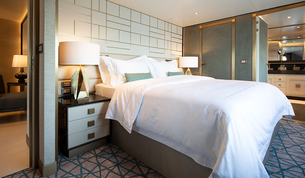
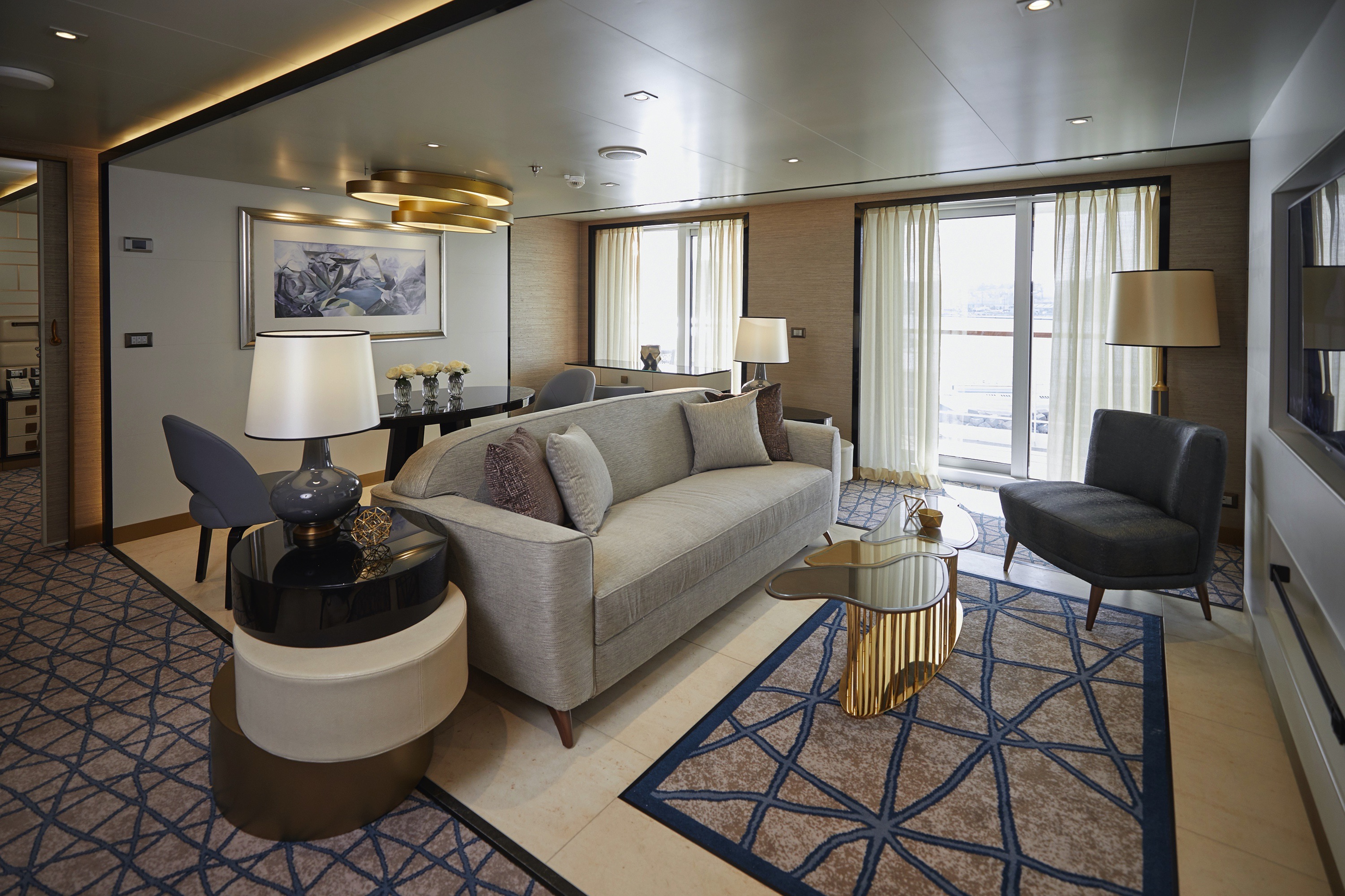

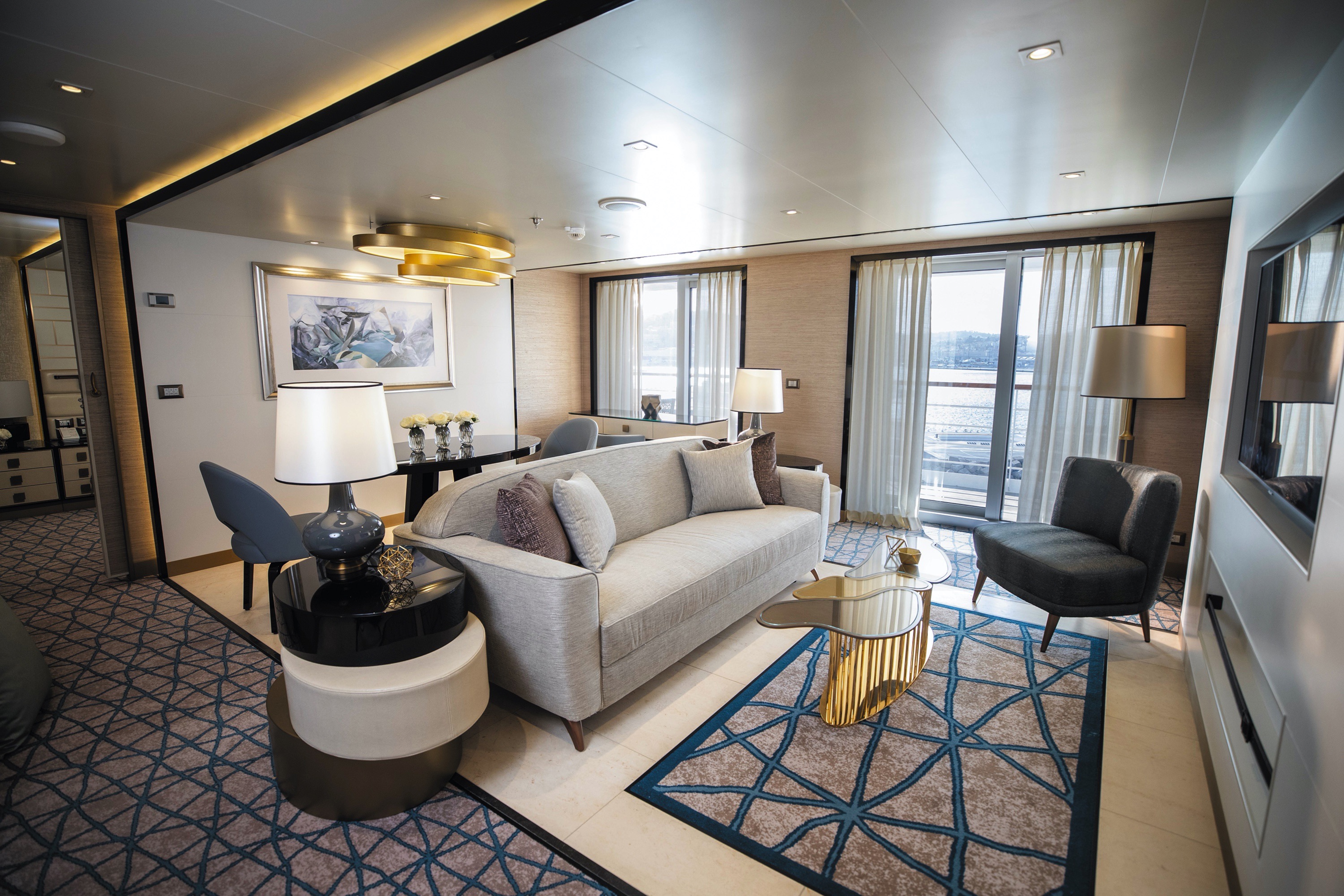
This suite is decorated with soothing colors, pleasing artwork and comfortable furnishings. Relax in the sitting area after an exciting day ashore and enjoy the selection of fresh canapés delivered by your personal butler. Then retreat to your private balcony to watch the ever-changing vistas.
Layout
- 1 Spacious Bedroom with a European King-Size Elite Slumber® Bed
- 1 Marble & Stone Detailed Bathroom
- Private Balcony
- Sitting Area
- Walk-In Closet with Safe
- Accommodates Up To 3 Guests
The suite pictured may differ from the suite booked, as layouts and designs vary by ship, deck, and suite location.
Amenities
- 1-Night Pre-Cruise: Hotel Package Including:
- - Ground Transfers
- - Breakfast
- - Porterage
- Unlimited WiFi Includes up to Four Logins, Four Devices, per Suite
- Valet Laundry Service
- Customizable In-Suite Mini Bar Replenished Daily with Your Preferences
- 24-hour In-Suite Dining
- Fresh Orchid Arrangement
- Luxurious Bath Amenities & Men's Unscented Shaving Kit
- Regent Plush Bathrobe & Slippers
- Interactive Flat-Screen Television & Direct-Dial Satellite Phone
- Priority Access to Online Shore Excursion Reservations
- Priority Access to Online Dining Reservations
- Binoculars
- illy® Espresso Maker
- Cashmere Blankets
- Regent Special Gift
- Vanity & Hair Dryer
- Shoe Shine Service
- Additional Discounts:
- - 10% Discount on Ultra Premium Wine and Liquor
- - 5% Savings on Pre- or Post-Cruise Hotel or Land Programs
- - 5% Savings on Regent Choice Shore Excursions
Additional Seven Seas Suites Amenitie:
- Personal Butler for an Elevated In-suite Experience
- - In-Suite Dining from Compass Rose
- Priority Boarding on Embarkation Day with Suite Access at 1pm
- Daily Canapés
- Luxe Fruit Arrangement
- Luxurious Bath Amenities & Men's Unscented Shaving Kit
- Selection of Fig & Tea Leaves Bath Salts
- Bose® SoundLink Mini II Bluetooth Speaker
- Selection of Bed Pillow Styles
- Complimentary Garment Pressing on First Night
- Personalized Stationery upon request
- Elegant Weather Clock

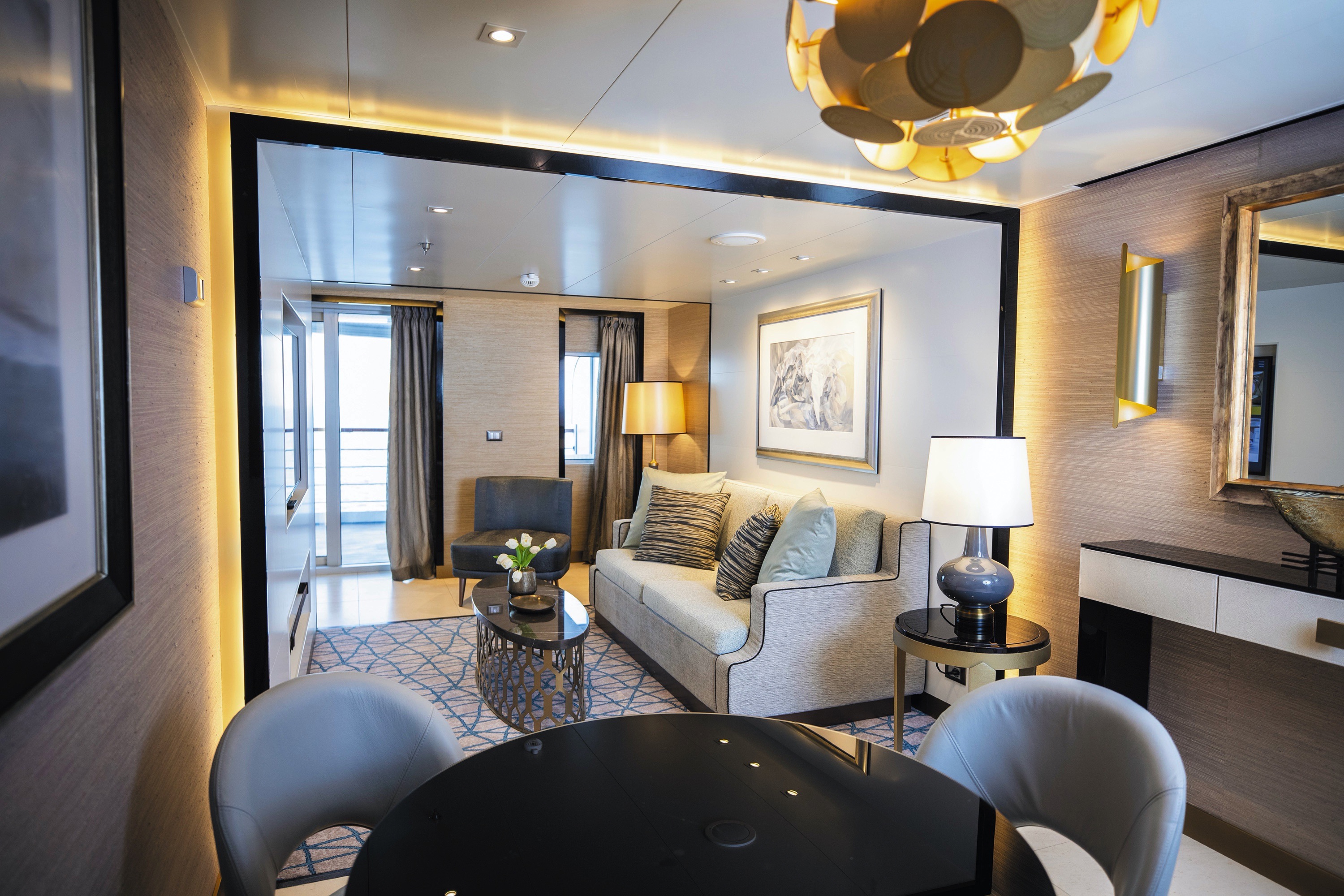
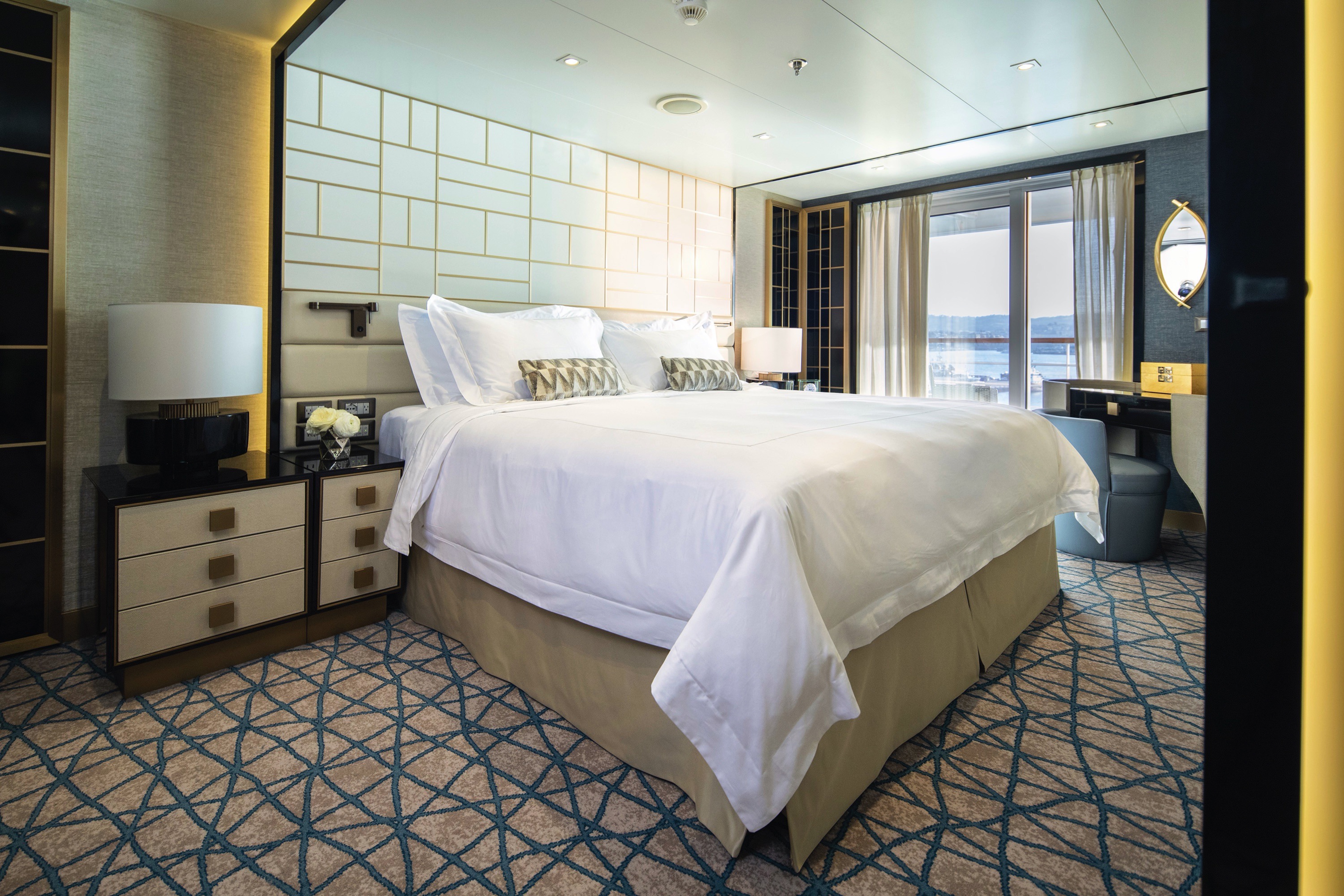

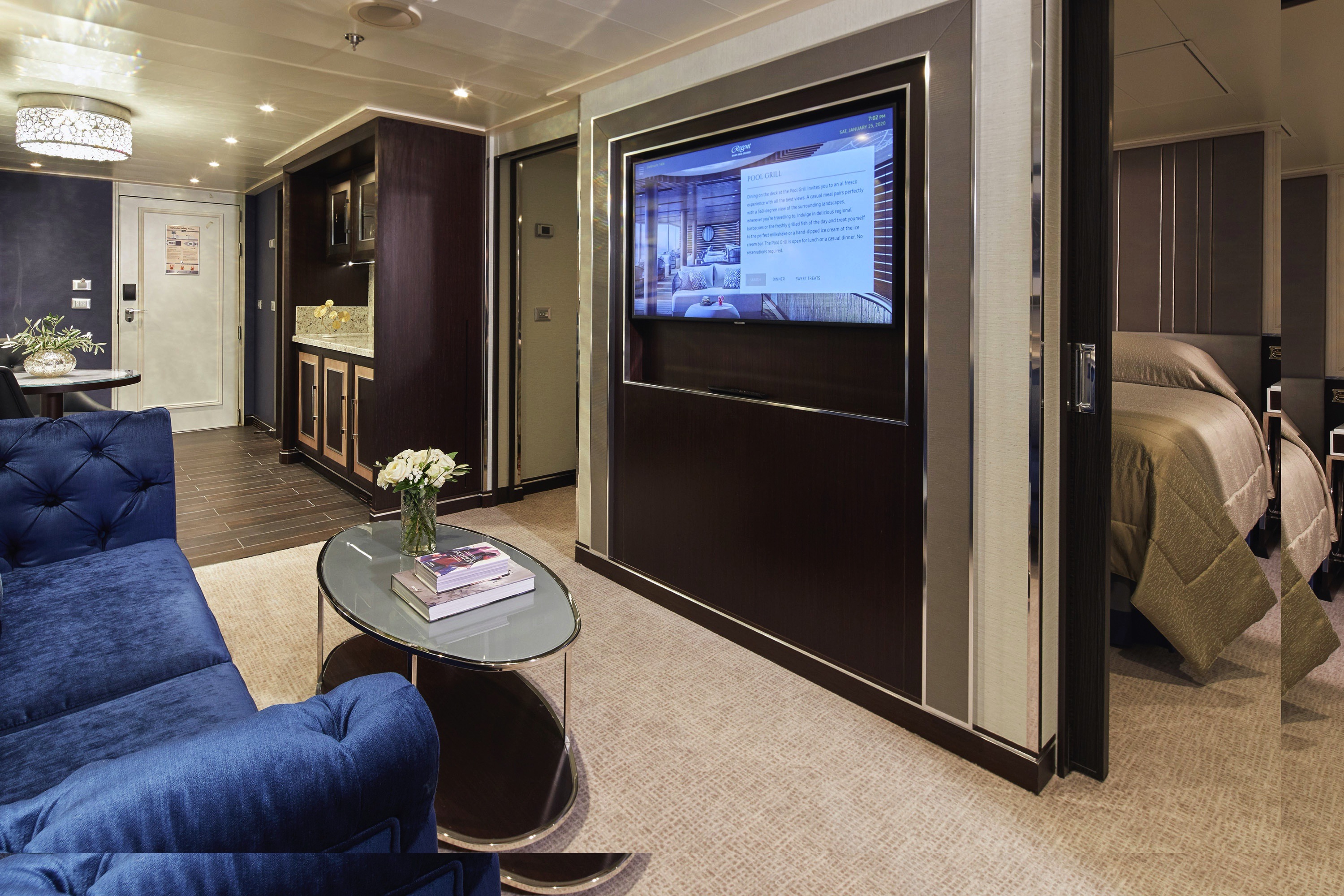
Your personal haven at the end of each day, this luxurious suite has been carefully designed to maximize space and comfort. Relax on your private balcony and indulge in your lavish bath amenities as you recharge and ready yourself for a new adventure in the next port of call. This suite also features a spacious walk-through closet and separated living and bedroom areas that can be closed with pocket doors for privacy.
Layout
- Private Balcony
- Sitting Area
- Marble & Stone Detailed Bathroom Features a Glass-Enclosed Shower Instead of Bathtub
- European King-Size Elite Slumber® Bed
- Walk-In Closet with Safe
- Accommodates Up To 3 Guests
The suite pictured may differ from the suite booked, as layouts and designs vary by ship, deck, and suite location.
Amenities
- 1-Night Pre-Cruise: Hotel Package Including:
- - Ground Transfers
- - Breakfast
- - Porterage
- Unlimited WiFi Includes up to Four Logins, Four Devices, per Suite
- Valet Laundry Service
- Customizable In-Suite Mini Bar Replenished Daily with Your Preferences
- Welcome Bottle of Champagne & Fresh Fruit
- 24-hour In-Suite Dining
- Fresh Orchid Arrangement
- L'Occitane® Jasmin & Bergamot Bath Amenities
- Regent Plush Bathrobe & Slippers
- Interactive Flat-Screen Television & Direct-Dial Satellite Phone
- Priority Access to Online Shore Excursion Reservations
- Priority Access to Online Dining Reservations
- Binoculars
- illy® Espresso Maker
- Cashmere Blankets
- Regent Special Gift
- Vanity & Hair Dryer
- Shoe Shine Service
- Additional Discounts:
- - 10% Discount on Ultra Premium Wine and Liquor
- - 5% Savings on Pre- or Post-Cruise Hotel or Land Programs
- - 5% Savings on Regent Choice Shore Excursions
Additional Penthouse Suite Amenities:
- Personal Butler for an Elevated In-suite Experience
- - In-Suite Dining from Compass Rose
- Daily Canapés
- Luxurious Designer Bath Amenities & Men's Unscented Shaving Kit
- Guerlain Bath Amenities & Men's Unscented Shaving Kit
- Bose® SoundLink Mini II Bluetooth Speaker
- Selection of Bed Pillow Styles
- Complimentary Garment Pressing on First Night
- Personalized Stationery upon request


In this superbly designed suite, enjoy once-in-a-lifetime views of the horizon from the comfort of your King-Sized Elite Slumber™ Bed as well as exclusive luxuries available only in suites at the Concierge level and higher. Your suite includes amenities such as an illy® espresso maker and cashmere blankets, perfect for use in the morning when you wish to sip coffee and enjoy an in-suite breakfast on your private balcony.
Layout
- Private Balcony
- Sitting Area
- Marble & Stone Detailed Bathroom
- European King-Size Elite Slumber® Bed
- Walk-In Closet with Safe
- Accommodates Up To 3 Guests
- This category includes Accessibility Options in suites 822 and 823. For more information about accessible suites click here.
The suite pictured may differ from the suite booked, as layouts and designs vary by ship, deck, and suite location.
Amenities
- 1-Night Pre-Cruise: Hotel Package Including:
- - Ground Transfers
- - Breakfast
- - Porterage
- Unlimited WiFi Includes up to Four Logins, Four Devices, per Suite
- Valet Laundry Service
- Customizable In-Suite Mini Bar Replenished Daily with Your Preferences
- Welcome Bottle of Champagne & Fresh Fruit
- 24-hour In-Suite Dining
- Fresh Orchid Arrangement
- L'Occitane® Jasmin & Bergamot Bath Amenities
- Regent Plush Bathrobe & Slippers
- Interactive Flat-Screen Television & Direct-Dial Satellite Phone
- Priority Access to Online Shore Excursion Reservations
- Priority Access to Online Dining Reservations
- Binoculars
- illy® Espresso Maker
- Cashmere Blankets
- Regent Special Gift
- Vanity & Hair Dryer
- Shoe Shine Service
- Additional Discounts:
- - 10% Discount on Ultra Premium Wine and Liquor
- - 5% Savings on Pre- or Post-Cruise Hotel or Land Programs
- - 5% Savings on Regent Choice Shore Excursions
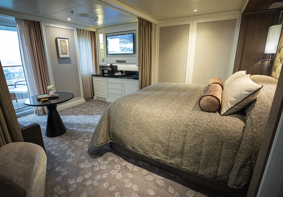
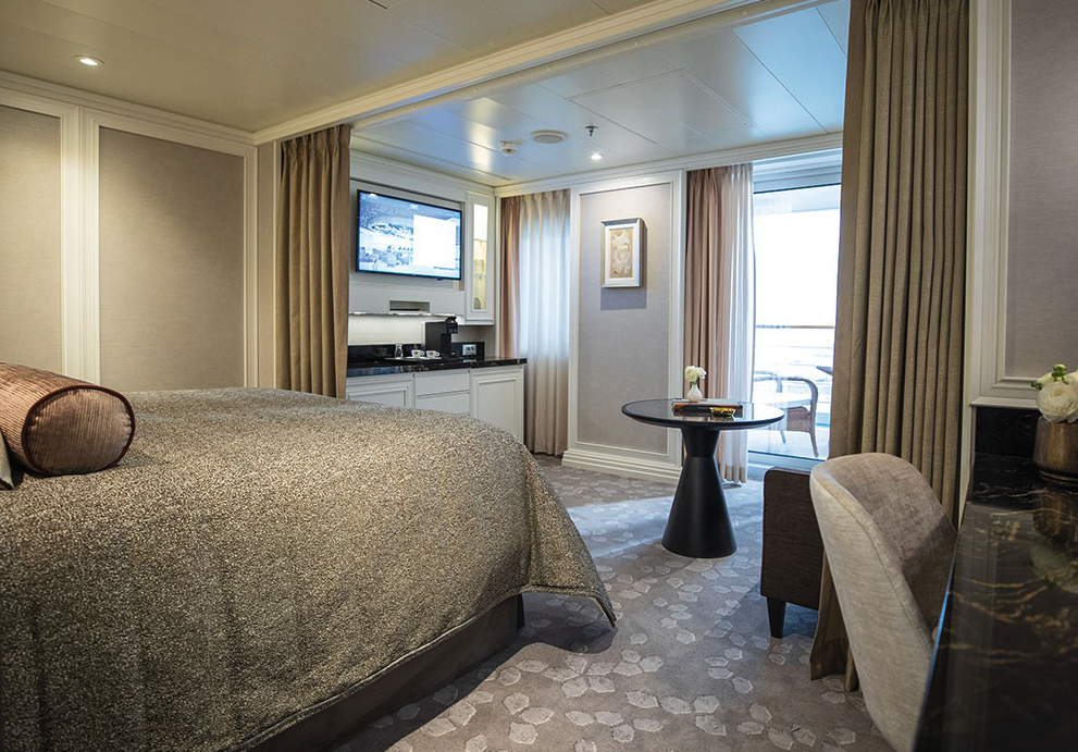
With more than 400 square feet of space including a private balcony, this suite is an excellent choice if you want a little extra room. Even your sleeping accommodations are spacious, as the Elite Slumber™ bed is a European king-size and faces floor-to-ceiling windows that provide ocean views from your bed. A walk-in closet, dual sinks in the bathroom and wonderful bath amenities make it a pleasure to prepare for your day’s adventures.
Layout
- Private Balcony
- Sitting Area
- Marble & Stone Detailed Bathroom
- European King-Size Elite Slumber® Bed
- Walk-In Closet with Safe
- Accommodates Up To 3 Guests
The suite pictured may differ from the suite booked, as layouts and designs vary by ship, deck, and suite location.
Amenities
- Unlimited WiFi Includes Two Logins, Two Devices, per Suite
- Valet Laundry Service
- Customizable In-Suite Mini Bar Replenished Daily with Your Preferences
- Welcome Bottle of Champagne & Fresh Fruit
- 24-hour In-Suite Dining
- Fresh Orchid Arrangement
- L'Occitane® Jasmin & Bergamot Bath Amenities
- Regent Plush Bathrobe & Slippers
- Interactive Flat-Screen Television & Direct-Dial Satellite Phone
- Vanity & Hair Dryer
- Shoe Shine Service
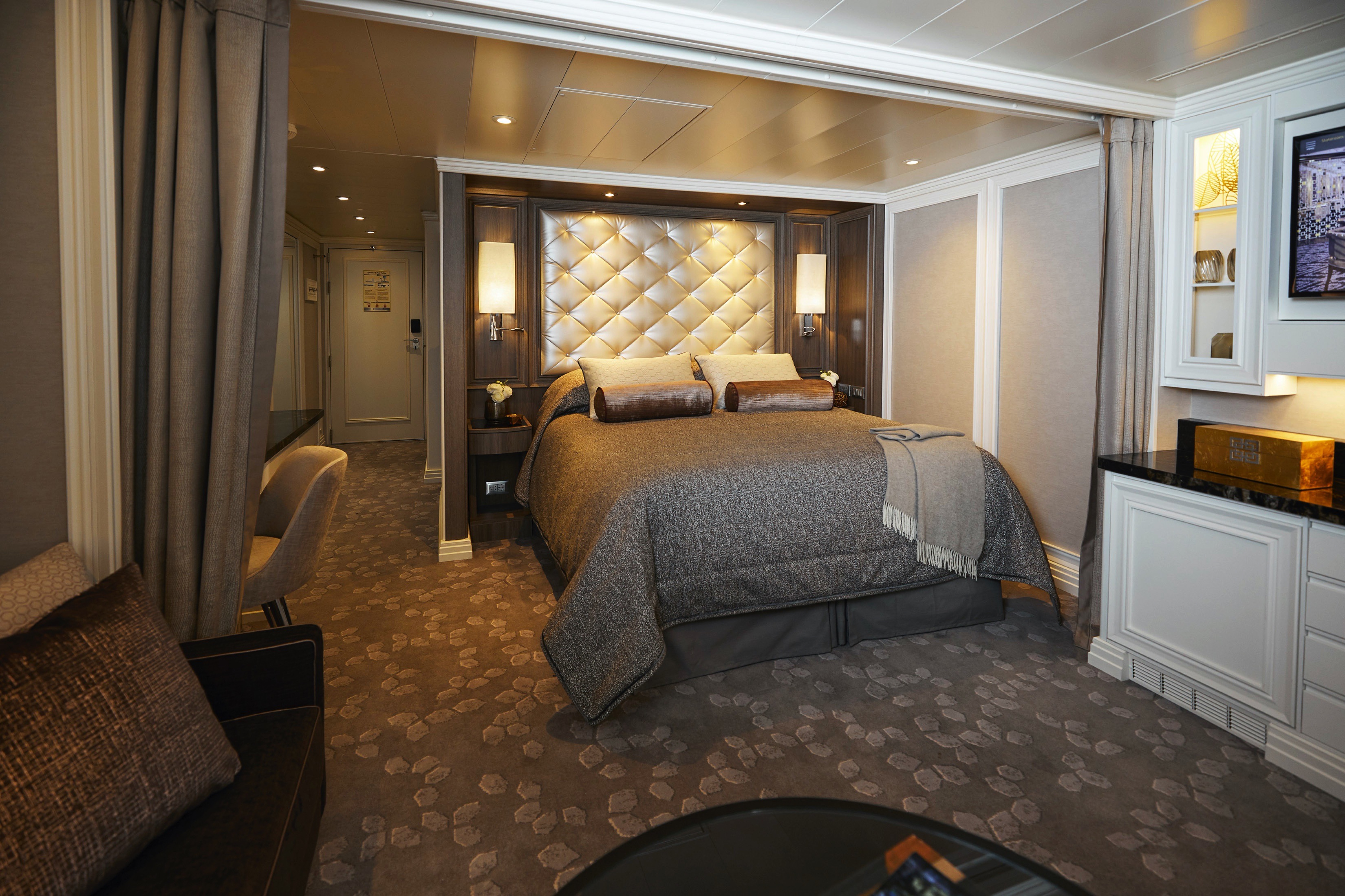
Every inch of this suite has been thoughtfully designed to maximize interior space and embrace the magnificent scenery outdoors. From the sitting area, admire the ocean views through the floor-to-ceiling windows, or better yet, take a seat outside on your private balcony to watch the world go by. Elegant finishes such as luxurious bedding and beautiful marble detailing in the bath further enhance your comfort.
Layout
- Private Balcony
- Sitting Area
- Marble & Stone Detailed Bathroom Features a Glass-Enclosed Shower Instead of Bathtub
- European Queen-Size Elite Slumber® Bed
- Walk-In Closet with Safe
- Accommodates Up To 2 Guests
The suite pictured may differ from the suite booked, as layouts and designs vary by ship, deck, and suite location.
Amenities
- Unlimited WiFi Includes Two Logins, Two Devices, per Suite
- Valet Laundry Service
- Customizable In-Suite Mini Bar Replenished Daily with Your Preferences
- Welcome Bottle of Champagne & Fresh Fruit
- 24-hour In-Suite Dining
- Fresh Orchid Arrangement
- L'Occitane® Jasmin & Bergamot Bath Amenities
- Regent Plush Bathrobe & Slippers
- Interactive Flat-Screen Television & Direct-Dial Satellite Phone
- Vanity & Hair Dryer
- Shoe Shine Service
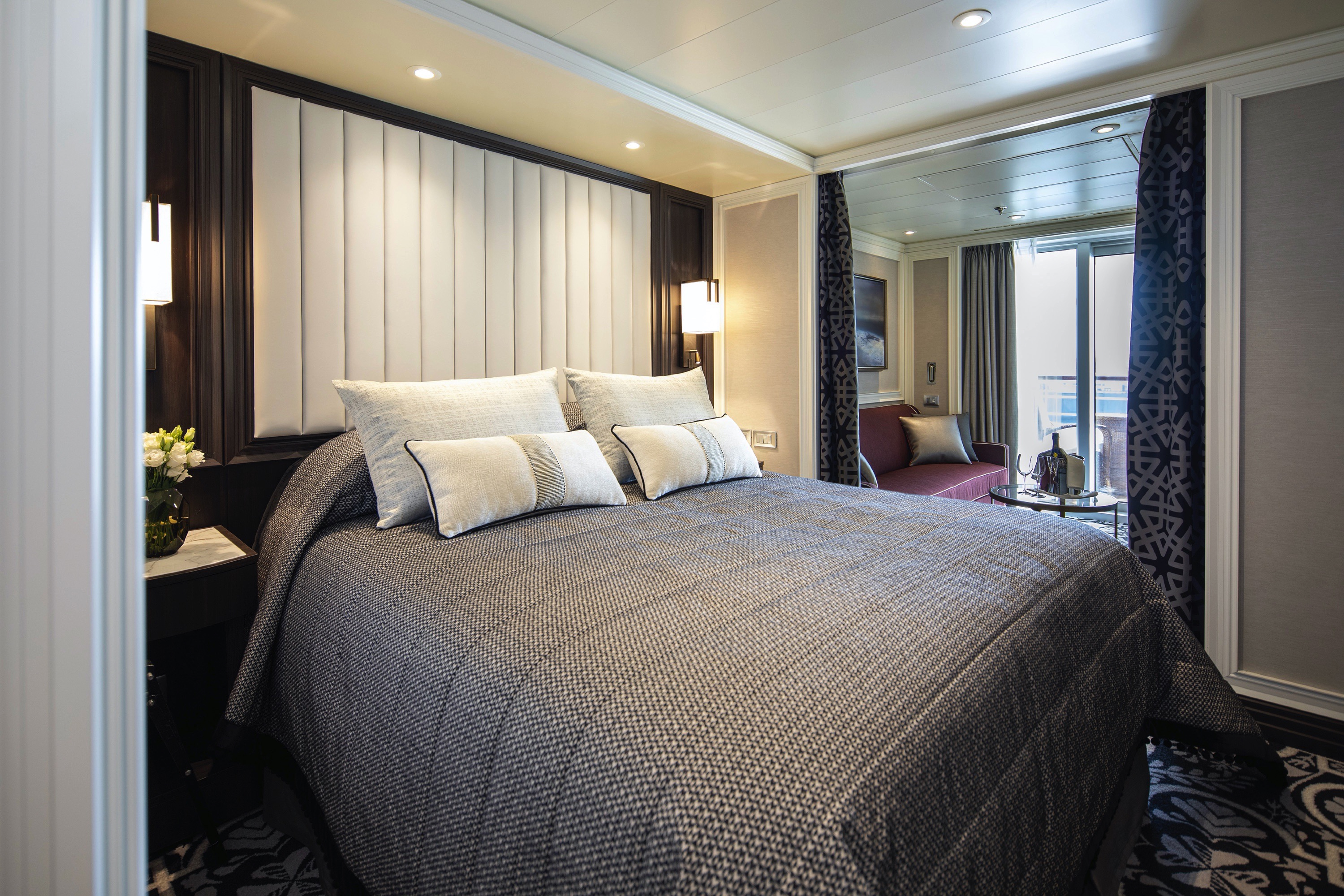
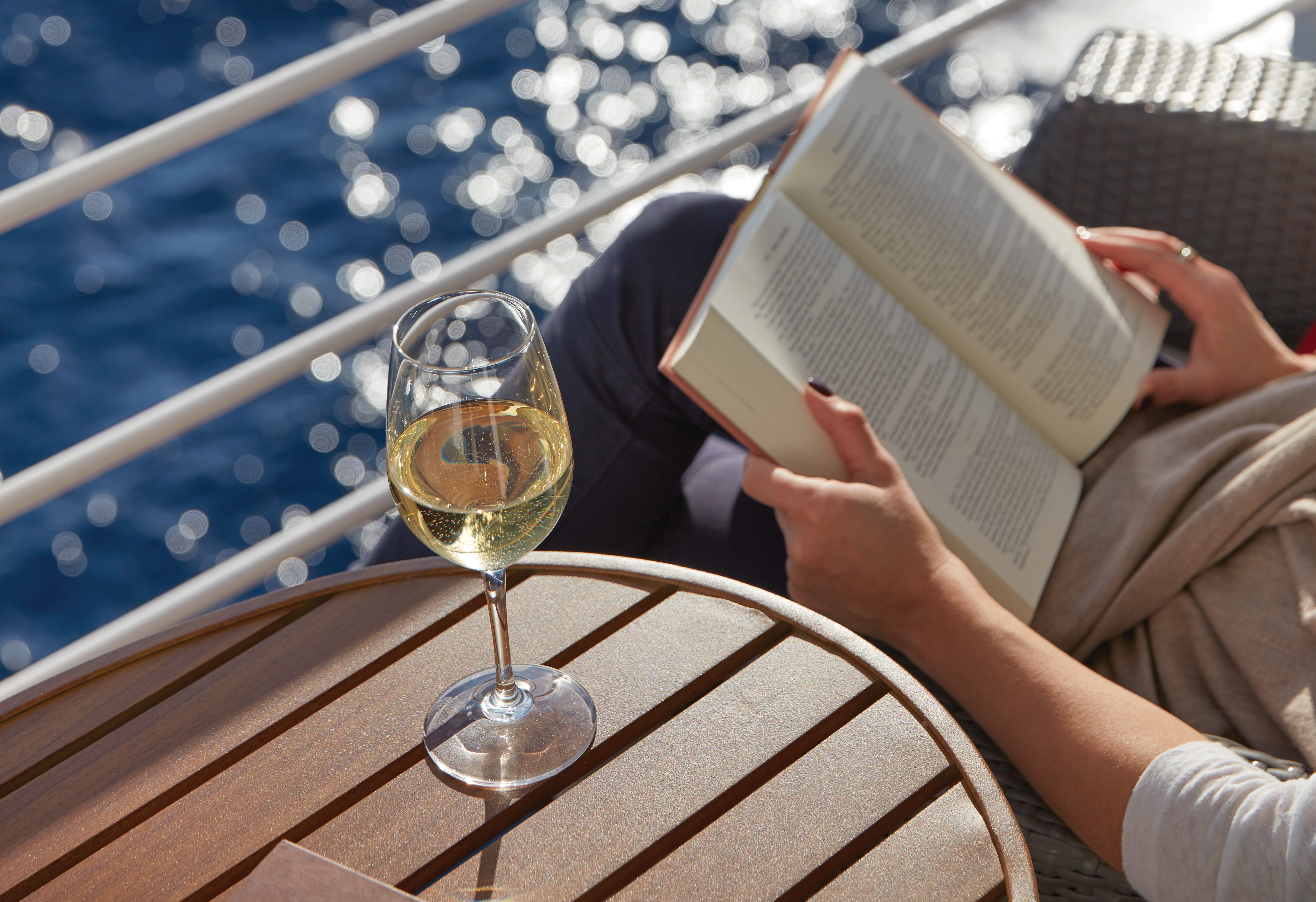
A wonderfully cozy retreat that includes a private balcony. In addition to a signature European Queen Size Elite Slumber™ bed, you’ll enjoy amenities such as lavish bath products, an interactive flat-screen television and a plush bathrobe and slippers. The intimate sitting area includes a table that is the perfect size for breakfast for two or a couple of glasses and a bottle of celebratory Champagne.
Layout
- Private Balcony
- Sitting Area
- Marble & Stone Detailed Bathroom Features a Glass-Enclosed Shower Instead of Bathtub
- European Queen-Size Elite Slumber® Bed
- Built-In Closet with Safe
- Accommodates Up To 2 Guests
The suite pictured may differ from the suite booked, as layouts and designs vary by ship, deck, and suite location.
Amenities
- Unlimited WiFi Includes Two Logins, Two Devices, per Suite
- Valet Laundry Service
- Customizable In-Suite Mini Bar Replenished Daily with Your Preferences
- Welcome Bottle of Champagne & Fresh Fruit
- 24-hour In-Suite Dining
- Fresh Orchid Arrangement
- L'Occitane® Jasmin & Bergamot Bath Amenities
- Regent Plush Bathrobe & Slippers
- Interactive Flat-Screen Television & Direct-Dial Satellite Phone
- Vanity & Hair Dryer
- Shoe Shine Service

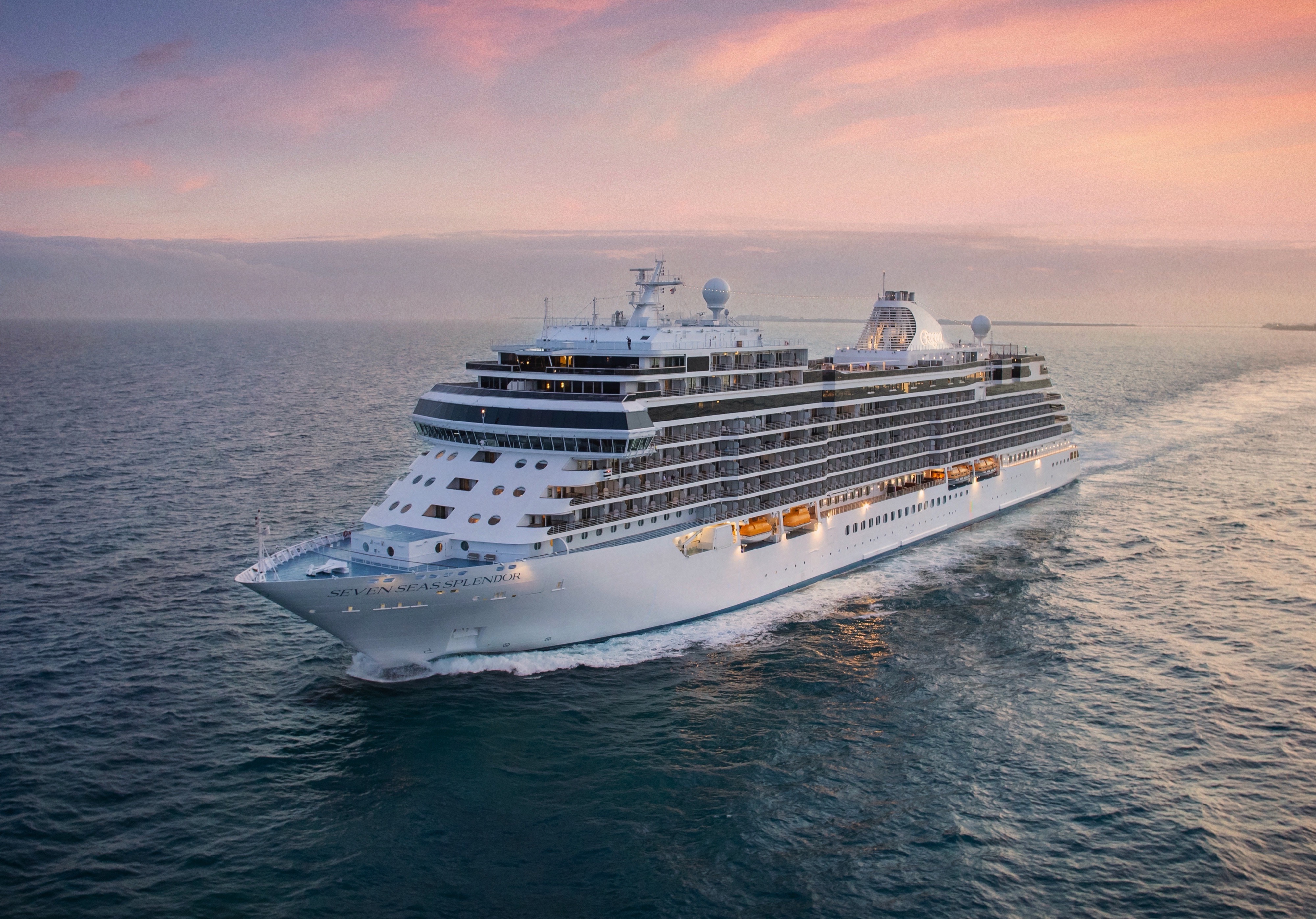
Seven Seas Splendor
Seven Seas Splendor® is luxury perfected. From her elegant décor to the crowning Regent Suite, every space is elevated to the utmost.
Perfection is in the details. Discover the intricate beauty and marvellous design of Seven Seas Splendor® as we unveil some of the refinements and wonders that went into creating luxury perfected. From her grand social spaces to the private balconies adorning every suite, Seven Seas Splendor is a work of art from bow to stern.
Your time on board Seven Seas Splendor® will be just as rewarding as your time spent ashore. Check out the deck plans to discover where to take enrichment classes, do some shopping, enjoy a cocktail and savor a fine meal.
Ship Facts
| Launch Year | 2020 | ||||
| Refit Year | |||||
| Language | en | ||||
| Gross Tonnage | 55498 | ||||
| Length | 224 | ||||
| Width | 31 | ||||
| Currency | USD | ||||
| Speed | 19 | ||||
| Capacity | 746 | ||||
| Crew Count | 548 | ||||
| Deck Count | 10 | ||||
| Cabin Count | 373 | ||||
| Large Cabin Count | 5 | ||||
| Wheelchair Cabin Count | 2 | ||||
| Electrical Plugs |
|
Deck 14
- Regent Suite
- Penthouse Suites
- Concierge Suites

Deck 12
- Putting Green
- Paddle Tennis Court
- Bocce Court
- Shuffleboard
- Golf Net
- Sports Deck
- Jogging Track
- Grand Suites
- Splendor Suites
- Penthouse Suites
- Concierge Suites

Deck 11
- La Veranda
- Sette Mari at La Veranda
- Pool Bar
- Pool Grill
- Pool
- Culinary Arts Kitchen
- Library
- Connoisseur Club
- Card Room
- Observation Lounge

Deck 10
- The Study
- Prime 7
- Chartreuse
- Bridge
- Grand Suites
- Concierge Suites
- Splendor Suites
- Penthouse Suites
- Serenity Suites

Deck 9
- Serenity Suites
- Grand Suites
- Splendor Suites
- Penthouse Suites
- Concierge Suites
- Signature Suites
- Deluxe Veranda Suites
- Launderettes

Deck 8
- Serenity Suites
- Seven Seas Suites
- Penthouse Suites
- Concierge Suites
- Superior Suites
- Deluxe Veranda Suites
- Signature Suites
- Launderette

Deck 7
- Grand Suites
- Seven Seas Suites
- Penthouse Suites
- Concierge Suites
- Superior Suites
- Veranda Suites
- Deluxe Veranda Suites

Deck 6
- Fitness Centre
- Concierge Suites
- Penthouse Suites
- Deluxe Veranda Suites
- Veranda Suites
- Launderette

Deck 5
- Atrium
- Coffee Connection
- Constellation Theater
- Infinity-Edge Plunge Pool
- Meridian Lounge
- Pacific Rim
- Serene Spa & Wellness
- Destination Services
- Reception & Concierge
- Business Centre
- General Manager

Deck 4
- Atrium
- Boutiques
- The Casino
- Compass Rose
- Constellation Theatre
- Splendor Lounge

The detail attended to and the artistry displayed in every meal echoes the excellence achieved aboard Seven Seas Splendor®. Our chefs will amaze you as they put their hearts and souls into creating each masterpiece of epicurean delight.
Coffee Connection
So much more than a great spot for coffee – this specially designed Coffee Connection is a chic metropolitan café with an ocean view that’s impossible to beat.
Sitting and chatting with newfound friends over barista-made coffee has long been a favourite pastime for our guests. Aboard Seven Seas Splendor™ you can now do so in an expanded outdoor section. Our chic metropolitan café with an elegant interior of muted pastels and crisp whites now seamlessly transitions to trendy al fresco seating, where you can sit and chat with clear views of the shimmering sea.
Prime 7
From perfectly aged prime New York strip, porterhouse and succulent filet mignon to smoked salmon with a phenomenal tamarind-whiskey sauce, Prime 7 elevates classic American fare to lofty heights.
A true classic in every sense, Prime 7 sets a new standard in steakhouse fare with its contemporary interpretation of an American classic. Handsomely decorated with supple leather wing-back chairs, burnished woods and rich earth-toned fabrics, Prime 7 exudes a distinct, intimate elegance. This is sophistication redefined, a luxurious setting to enjoy classic steakhouse cuisine with a modern flair.
All the traditional starters are here, including Jumbo Lump Crab Cakes, Classic Steak Tartare, and Clam Chowder. Of course, beef is the undisputed star, and it is aged for a minimum of 40 days to ensure the ultimate tenderness and juiciness. New York Strip, Porterhouse Steak and succulent Filet Mignon only touch upon the selections. Mouthwatering alternatives include Applewood Smoked Salmon and Dover Sole.
Reservations Required
Chartreuse
Classic French fare with a modern twist – and glorious ocean views. If Chartreuse seems familiar, you may have once stumbled upon a chic, fine-dining restaurant on a Champs-Elysees sidestreet. A fantasy you can taste.
Chartreuse evokes memories of a chic Parisian fine dining restaurant discovered during an evening stroll. Wherever you are seated in this regal restaurant, you will be treated to a succulent dinner while enjoying incredible ocean views. The restaurant ambiance is complemented by a menu that features modern French dishes. Available on Seven Seas Grandeur™, Seven Seas Splendor®, Seven Seas Explorer®, Seven Seas Mariner® and Seven Seas Voyager® with reservations each evening for dinner, and open for lunch on Seven Seas Explorer on alternate port days. French bistro style food is offered.
Reservations Required
La Veranda
Greet your days on the high seas with sumptuous breakfasts and shimmering ocean views. La Veranda features quiet alcoves, made-to-order omelettes and, for late risers, tasty lunch buffets that include hot carving stations.
Take in stunning ocean views while enjoying elegant breakfast and lunch buffets in the chic indoor dining room or al fresco on the shaded, open-air deck. Breakfasts include traditional favorites, as well as a made-to-order omelet station, a variety of fresh fruits and pastries, along with daily specials, like fluffy Belgian waffles with fresh blueberry compote. For lunch indulge in an array of choices from a bountiful salad bar, gourmet sandwiches, hot carving stations and delicious desserts.
Pacific RIm
Prepare to be delighted by a perfect balance of delicious flavours and Zen-like ambiance. Amid dimly lit architectural details and lotus-shaped windows, dine Pan-Asian creations like Korean barbecue lamb chops and wok-fried beans.
Discover and devour Pan-Asian culinary traditions. Featuring intricate architectural details, wood carvings and an immense art installation of a mythical dragon, Pacific Rim will delight with a perfect balance of flavours and Zen-like ambiance. The menu brings life to rich culinary traditions, from the enhanced smoking presentation of dry ice sashimi and the sweet and spicy medley of sauces with a re-imagined duck spring roll.
Compass Rose
Our largest specialty restaurant on a ship full of spectacular dining options. Design your very own entrée from preferred sides, sauces, pastas and main features of beef, poultry and fish. Dessert? Decadent, of course.
We are pleased to re-introduce the elegantly enhanced Compass Rose, the largest specialty restaurant across our fleet. Ensuring a tantalizing mix of new and familiar items on every visit, the new lunch and dinner menus offer a vast selection to meet your discerning tastes. Exclusively aboard Seven Seas Mariner®, Seven Seas Voyager®, and Seven Seas Navigator® for lunch, you may choose from a robust list of appetizers and main courses from our specialty restaurants. And across our fleet for dinner, you have the unique ability to design your very own entrée from preferred sides, sauces, pastas and main features of beef, poultry and fish. This is in addition to sinfully indulgent desserts made by talented bakers and pastry chefs. With daily changing menus, the refreshed Compass Rose offers more choices than ever before.
Pool Grill
Al fresco dining with views of the world’s best-loved landscapes. Be inspired by the environs around Seven Seas Splendor™ while enjoying cuisines that include regional barbecues and old-fashioned desserts.
The Pool Grill is truly a come-as-you-are venue. Enjoy this casual dining experience whether you’re getting a bite after sunbathing or swimming in the pool. The Pool Grill is open-air, yet abundantly shaded for comfortable dining at lunch or dinner. Enjoy grilled-to-order burgers, grilled seafood, sandwiches, and fresh salads. Treat yourself to milkshakes and malts or an old-fashioned hand-dipped ice cream dessert with toppings.
Room Service
Knowing that guests sometimes prefer to simply dine in the comfort of their suites, we offer room service around the clock. Select from an extensive room service menu and the wait staff will promptly serve your order in the comfort of your suite. During normal dining hours, guests may also order from the Compass Rose menu, which changes daily and features Continental, vegetarian, and kosher cuisines. Dinners will be graciously served course-by-course.
Sette Mari at La Veranda
Settle into cozy, over-water alcoves for classic Italian specialties made with care. From old-school classics to modern cuisine, your Sette Mari meal will linger long as a perfect combination of atmosphere and flavour.
Wherever you’re voyaging, you’ll never be far from enjoying perfectly prepared Italian dishes in stunning, over-water alcoves. Choose from authentic Italian specialties inspired by family recipes that span generations, or opt for something with a modern twist like a spice-crusted tuna steak with braised endive, polenta and salmoriglio. Savour it all with a perfectly paired Tuscan wine as you watch stars shine on the ocean below.
The Study
Guests of the most luxurious suite on the high seas — the Regent Suite on Seven Seas Splendor® — have exclusive access to The Study, a private, ornately decorated dining room that seats up to 12 guests.
In an atmosphere that’s reminiscent of a personal library in an elegant, stately home, Regent Suite guests may gather in The Study to privately dine on meals from the adjacent Chartreuse and Prime 7 restaurants. Such an exclusive opportunity further establishes the Regent Suite on Seven Seas Splendor™ as the pre-eminent luxury accommodation on the high seas.
Daytime Enrichment
You’ll find time spent on board the ship to be just as enriching as time ashore. Relax by the pool, compete in a friendly game of trivia or bocce ball, indulge in treats at afternoon tea and gain insight from an expert lecturer.
Evening Entertainment
Evenings on board are filled with music and fun. Enjoy a rousing cabaret show, test your luck at the Casino, step onto the stage for karaoke or simply find a quiet place on deck to revel in the symphony of stars.
Boutiques
Browse a well-curated selection of duty-free designer clothes, jewelry, perfume and more at the onboard boutiques. Then fuel up with an espresso from an onboard café or unwind at a wine tasting in one of the lounges.
Meridian Lounge
With an expansive bar and relaxed armchairs, this is an ideal spot to gather with new friends for a cocktail, especially after an exciting theatre performance that simply must be discussed at length.
Elegantly appointed and comfortably furnished, this sleek lounge is a showstopper, with an expansive bar serving your favourite cocktails. Warm lighting and sophisticated ambiance are integral to its charm, but its vibe is the intangible draw. Meet for a drink before a show at the Constellation Theatre or to continue your unforgettable evening with performances by resident musicians afterwards.
General Manager, Reception & Concierge
Our welcoming Reception Desk is open 24 hours a day and our staff is happy to answer your questions and provide any general assistance you may need.
Have your every wish, whim and want fulfilled at our welcoming Reception Desk. Our office staff is available 24 hours a day to answer your questions – the ship's Concierge may be contacted at the Reception Desk as well. He or she is eager to provide you with general assistance and help you make the most of your voyage.
While cruise-related issues are first submitted to Reception/Concierge, you can be assured that a General Manager is on hand to resolve issues to your satisfaction.
Accountability is a critical aspect of providing you with an unrivalled experience on Regent Seven Seas Cruises®. As a guest you’ll always know where to find our General Manager, whose sole responsibility is making sure things are running as they should – and that includes providing you with superior customer service.
Destination Services
The place for you to arrange onshore activities, whether one of our FREE Unlimited Shore Excursions or a unique, small-group Regent Choice Shore Excursion. All staff are eager to provide the assistance you need.
Whether it’s a tour from our FREE Unlimited Shore Excursion menu or a unique, small-group Regent Choice Shore Excursion, Destination Services on is the place for you to arrange onshore activities. Our helpful office staff can also assist with tailor-made pre-and post-cruise programs, from a simple stay in a luxurious hotel to a 3-night extension that includes private tours of coveted destinations.
Atrium
Simply put, the Atrium is the very heart of Seven Seas Splendor®. With a magnificent chandelier above, the grand staircase descends to Compass Rose, our signature restaurant, creating a grand entrance.
Often described as the crossroads of the ship, our Atrium is an inspiring testament to the grandeur of luxury ocean travel. A cascading stairwell makes it a natural gathering place for guests, and on Seven Seas Splendor® it opens upon Compass Rose, our signature restaurant, to create a dazzling foyer. You’ll surely find yourself in the Atrium many times throughout your voyage, surrounded by magnificent art pieces and a dazzling chandelier.
Observation Lounge
As indicated by its name, this feast for the eyes is a wonderful vantage point to enjoy staggering views as Seven Seas Splendor® enters and leaves ports of call. A whimsical chandelier and live music add to the serenity.
Our fleet abounds with spectacular suites, restaurants, and lounges, but the Observation Lounge on Seven Seas Splendor® is truly magical. It offers staggering views as the ship enters and leaves ports of call, but its interior is lush with upholsteries inspired by the fluidity of flower petals, giving it the feel of a sunlit English garden. At night, a whimsical chandelier and hand-painted glass screens work in tandem with a cocktail pianist to perfect the scene.
Splendor Lounge
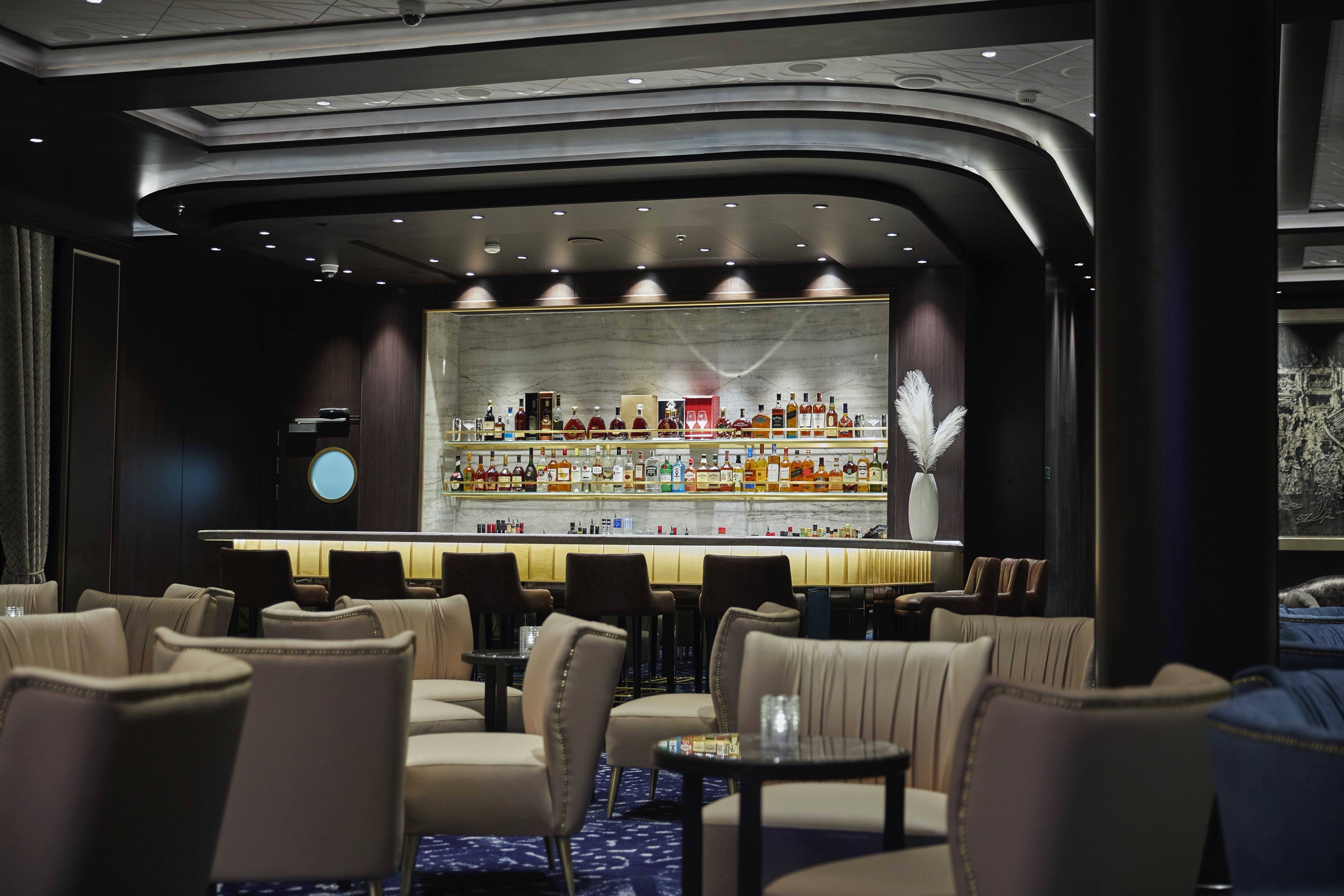
There’s no better way to whet your appetite for dinner than at this ship’s namesake lounge. Its elegant design will coax you into a state of relaxed bliss over signature cocktails and soulful sounds.
A magical place to laugh and unwind. Enjoy signature cocktails in a space designed to arouse the senses, from soulful sounds floating on ocean breezes to plush chairs cradling you in comfort to a lounge so spectacularly designed it will dazzle from every angle. What better way to prepare for a delicious dinner than chatting with fellow guests while musicians perform on an intimate stage beneath a grand proscenium?
Constellation Theatre
Thrill to nightly performances in our glorious, two-deck-high theatre. Plush seating and pleasing sightlines free you to focus on our lavishly staged, high-energy shows produced by our own team of Broadway professionals.
Plush seating and pleasing sightlines make every seat a great seat in our state-of-the-art show hall. Stretching two decks, the Constellation Theater boasts lavishly staged, high-energy shows created and produced by our own team of Broadway choreographers and directors. Sit in comfort or get up and dance to stories brimming with romance, intrigue, singalongs – even a tear-jerking tribute to the days of disco.
Card Room
Seeking friendly competition? This jovial room has a clubby charm that’s both inviting and tranquil. Gather some friends for board games or Bridge, or maybe a tournament.
The beautifully decorated space is an inviting and tranquil oasis for friendly competition. Gather your favourite teammates for a lively afternoon or evening of board games, enjoy a social game of Bridge or participate in an ACBL Tournament on select voyages.
The Casino
Step into an intimate, sophisticated environment filled with fun and excitement. Challenge friends at the poker table, take on the house in a thrilling game of blackjack or sip a cocktail and watch the action unfold.
Inspired by the iconic gaming halls of Las Vegas and Monte Carlo, our Casino is an elegant and exciting destination unto itself. Whether you’re a player or spectator, the excitement is contagious, the drinks are delightful and the staff is welcoming. Challenge friends to poker and blackjack or cheer on your number at the roulette wheel. Find your way to our Casino through stylish glass doors – and may Lady Luck treat you kindly.
Boutiques
Browse designer garments, upscale handbags, exclusive fragrances and fine jewellery in an intimate and unhurried setting. A bit of shopping bliss, whether buying items for yourself or friends and family back home.
It could be a shimmering piece of evening wear you can’t wait to show off at dinner or something perfect for someone back home. Our shops sparkle with carefully picked selections of designer garments, fashionable accessories and smart gifts. Stop in and be enticed by a wide range of items – from upscale handbags to exclusive fragrances to fine jewellery – in an unhurried setting.
Connoisseur Club
A very modern space with oversize leather armchairs and signature works of art, this guest favourite is more than its décor. You’ll immediately take to its low-key elegance, perhaps over a fine cigar and meaningful conversation.
This guest favourite is many things: a hallmark, a much-loved hideaway, an elegant gathering place for good conversation and bonhomie. Aboard Seven Seas Splendor™ it’s also a modern space with oversize leather armchairs and signature works of art placed tastefully throughout. Stop in and test the conversational waters over a fine cigar or fine cognac, both available for purchase. As you would guess, smoking is permitted here.
Pool Deck
Teak accents and tasteful design make this a stylish oasis to soak up sun or go for a swim. Our Pool Deck features a lavish pool, two whirlpools and a crew dedicated to delivering refreshing drinks and comfy towels.
If it’s a day by the pool you desire, our Pool Deck is one of the most elegant at sea. Outfitted in teak accents, it features a lavish pool and two whirlpools in a blissful setting. Lounge the day away under the warm sun or read a book in a shady nook with an amiable and dedicated crew on-hand to bring refreshing beverages and plush towels.
Pool Bar
Very few things equate to a pure vacation activity more than sitting at our Pool Bar. Make new friends while sipping a cocktail or frozen drink in the most laid-back atmosphere imaginable.
When you envision the type of activity you’re only likely to do while on vacation, sipping a frozen drink at a pool bar onboard a glorious cruise ship is probably near the top of the list. You can tick that box at our Pool Bar, where you and new friends can enjoy leisurely conversation over cocktails and frozen drinks in a delightfully relaxed atmosphere.
Business Centre
For those who’ve chosen to leave their laptops at home, desktop computers are available at our staffed Business Centre. Of course, you may access WiFi without charge throughout the entirety of Seven Seas Splendor®.
If you prefer to travel without a laptop, our staffed Business Centre offers desktop computers that allow you to access your emails and browse the Internet. Printer access is available for a nominal fee. Seven Seas Splendor™ provides WiFi access throughout the ship, allowing you to connect to the Internet with whatever device you’ve brought on board.