
Fort Lauderdale, Florida Roundtrip
Fort Lauderdale, Florida Roundtrip
Cruise overview
WHY BOOK WITH US?
- ✔ The Deluxe Cruises’ team has extensive experience in ultra-luxury cruising.
- ✔ Call now to speak to our helpful and experienced Cruise Concierge team.
- ✔ Enjoy our Unique Deluxe Cruises Bonus for substantial savings.
- ✔ Our team will tailor your holiday to your exacting requirements.
- ✔ As agents, we work under the protection of each cruise lines ABTA / ATOL licences
About Fort Lauderdale, Florida
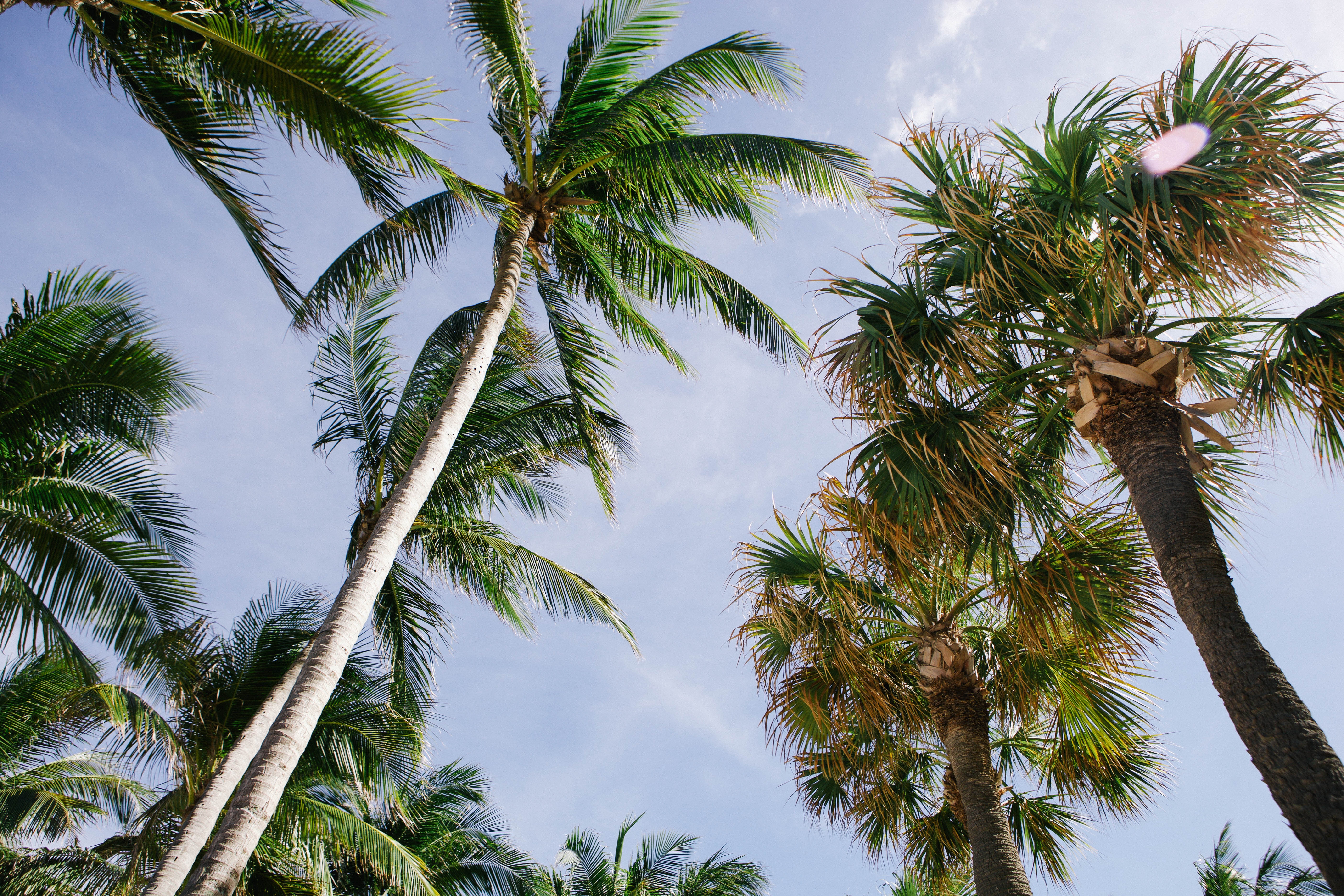
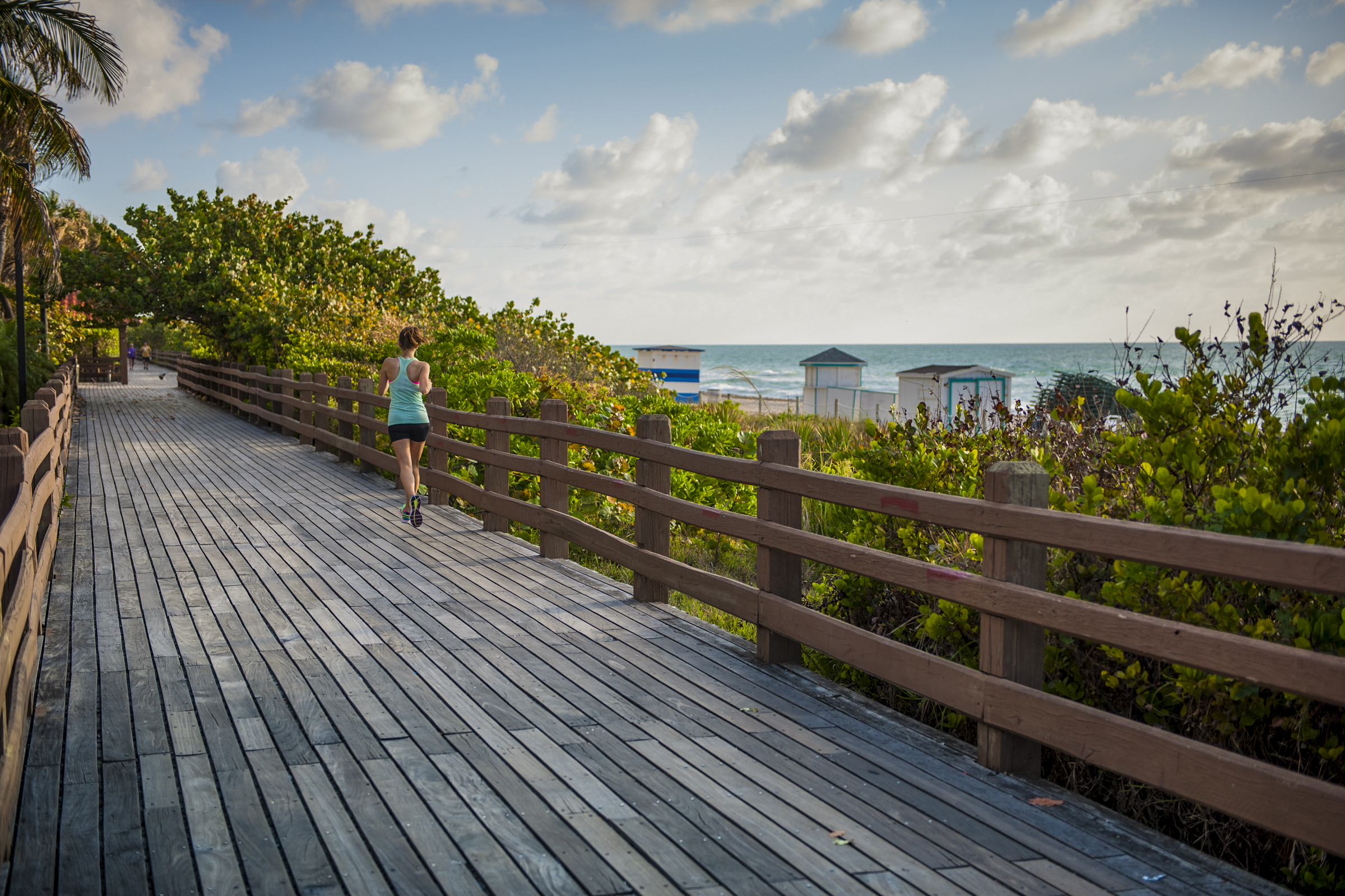
Like many southeast Florida neighbors, Fort Lauderdale has long been revitalizing. In a state where gaudy tourist zones often stand aloof from workaday downtowns, Fort Lauderdale exhibits consistency at both ends of the 2-mile Las Olas corridor. The sparkling look results from upgrades both downtown and on the beachfront. Matching the downtown's innovative arts district, cafés, and boutiques is an equally inventive beach area, with hotels, cafés, and shops facing an undeveloped shoreline, and new resort-style hotels replacing faded icons of yesteryear. Despite wariness of pretentious overdevelopment, city leaders have allowed a striking number of glittering high-rises. Nostalgic locals and frequent visitors fret over the diminishing vision of sailboats bobbing in waters near downtown; however, Fort Lauderdale remains the yachting capital of the world, and the water toys don’t seem to be going anywhere.


About Cockburn Town, San Salvador Island
About Nassau
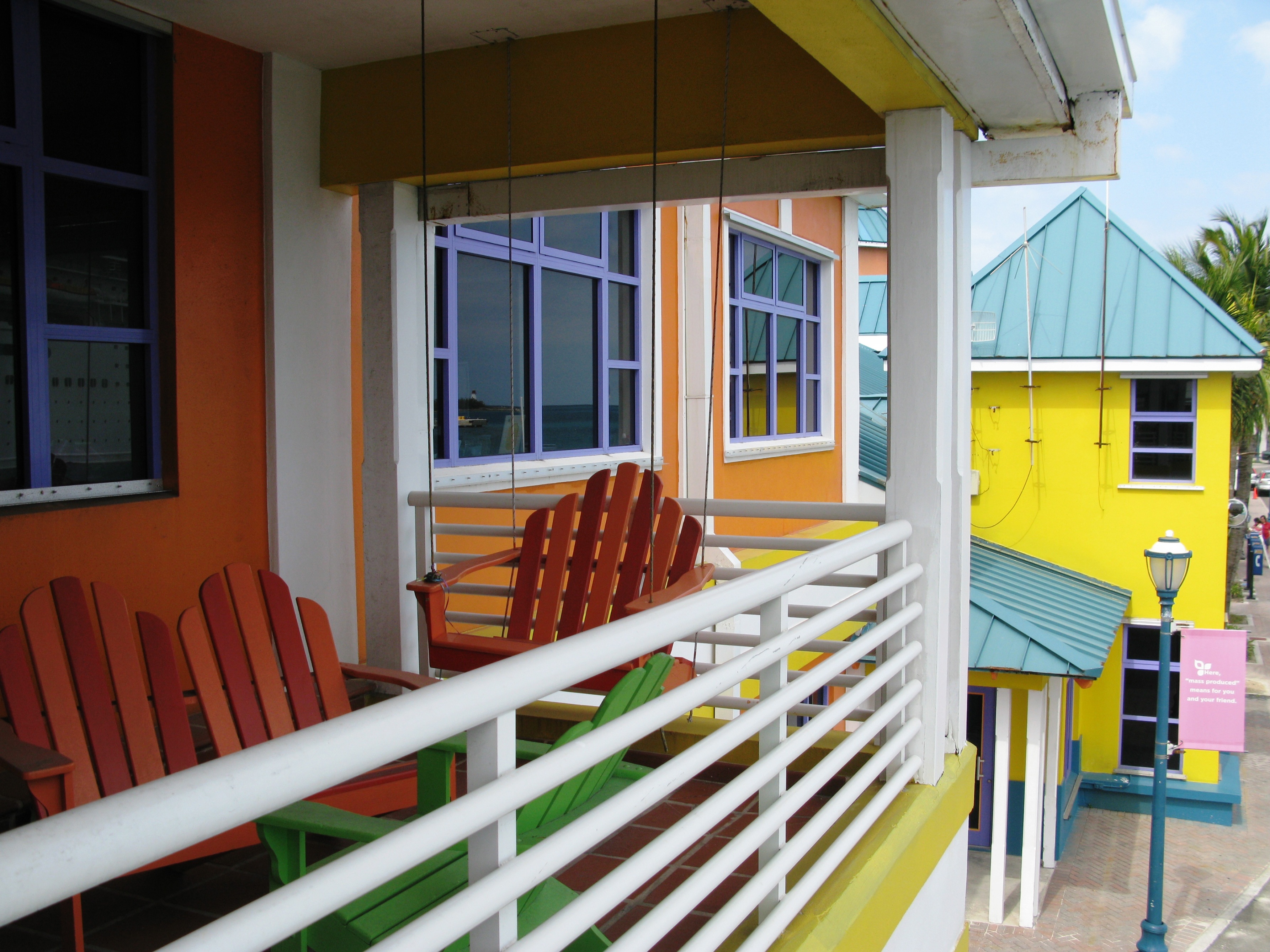
Nassau's sheltered harbor bustles with cruise-ship activity, while a block away Bay Street's sidewalks are crowded with shoppers who duck into air-conditioned boutiques and relax on benches in the shade of mahogany and lignum vitae trees. Shops angle for tourist dollars with fine imported goods at duty-free prices, yet you'll find a handful of stores overflowing with authentic Bahamian crafts, food supplies, and other delights. With a revitalization of downtown ongoing—the revamped British Colonial Hilton leading the way—Nassau is recapturing some of its past glamour. Nevertheless, modern influences are completely apparent: fancy restaurants, suave clubs, and trendy coffeehouses have popped up everywhere. These changes have come partly in response to the growing number of upper-crust crowds that now supplement the spring breakers and cruise passengers who have traditionally flocked to Nassau. Of course, you can still find a wild club or a rowdy bar, but you can also sip cappuccino while viewing contemporary Bahamian art or dine by candlelight beneath prints of old Nassau, serenaded by soft, island-inspired calypso music. A trip to Nassau wouldn't be complete without a stop at some of the island's well-preserved historic buildings. The large, pink colonial-style edifices house Parliament and some of the courts, while others, like Fort Charlotte, date back to the days when pirates ruled the town. Take a tour via horse-drawn carriage for the full effect.


About Bimini Island
The lovely little dual islands of Bimini consists of two main islands—North Bimini Island and South Bimini Island— as well as countless cays. Located just 50 miles off Florida’s coast, Bimini is the closest Bahamian island to the United States, and as such is the most “American” if all the Bahamian Islands. Yet, the miles and miles of pristine beaches are witness to the fact that yes, this is the Bahamas and yes, this is paradise indeed.

About Key West, Florida
Located closer to Havana than Miami, Key West is synonymous for all that is fabulous. Whether it’s beaches, back country or just a brilliant time that you’re after, Florida’s most southern point holds a wealth of intrigue, both past and present. Famed for its unique originality, Key West is a condensation of the best of the sunshine state – fantastic weather, laid back attitude, deep-rooted history and masses of fantastic, fresh seafood; it’s little wonder that nobody ever wants to leave.Floating in the middle of the Gulf of Mexico, the island has two very definite personalities: bookish and bizarre. On the one hand, the literary festivals, exquisite Caribbean architecture and splendid art galleries attract the bourgeoisie, while on the other, the eccentricity and reticence to be associated with “the mainland” attracts all kinds of “happies” –new era hippies. The two dichotomies live peacefully side by side and have done ever since travellers started arriving in the 1960s — Key West being one of the three big K’s on the hippie path to enlightenment (Kuta and Kathmandu are the others).But past the idiosyncrasies of the Key Westers, and you will find an island that is literally brimming over with spectacular sights and wonderful wilderness. From Henry S. Truman’s Little White House and Ernest Hemmingway’s house and studio, to botanical gardens and marine sanctuaries, visitors will leave this fascinating island wanting more.Best seen by foot, bike or boat, this is an island to be explored al fresco.


About Fort Lauderdale, Florida
Like many southeast Florida neighbors, Fort Lauderdale has long been revitalizing. In a state where gaudy tourist zones often stand aloof from workaday downtowns, Fort Lauderdale exhibits consistency at both ends of the 2-mile Las Olas corridor. The sparkling look results from upgrades both downtown and on the beachfront. Matching the downtown's innovative arts district, cafés, and boutiques is an equally inventive beach area, with hotels, cafés, and shops facing an undeveloped shoreline, and new resort-style hotels replacing faded icons of yesteryear. Despite wariness of pretentious overdevelopment, city leaders have allowed a striking number of glittering high-rises. Nostalgic locals and frequent visitors fret over the diminishing vision of sailboats bobbing in waters near downtown; however, Fort Lauderdale remains the yachting capital of the world, and the water toys don’t seem to be going anywhere.


Where You'll Go


