145-Day World Cruise: Australia & South Pacific Panorama
145-Day World Cruise: Australia & South Pacific Panorama
Cruise overview
WHY BOOK WITH US?
- ✔ The Deluxe Cruises’ team has extensive experience in ultra-luxury cruising.
- ✔ Call now to speak to our helpful and experienced Cruise Concierge team.
- ✔ Enjoy our Unique Deluxe Cruises Bonus for substantial savings.
- ✔ Our team will tailor your holiday to your exacting requirements.
- ✔ As agents, we work under the protection of each cruise lines ABTA / ATOL licences
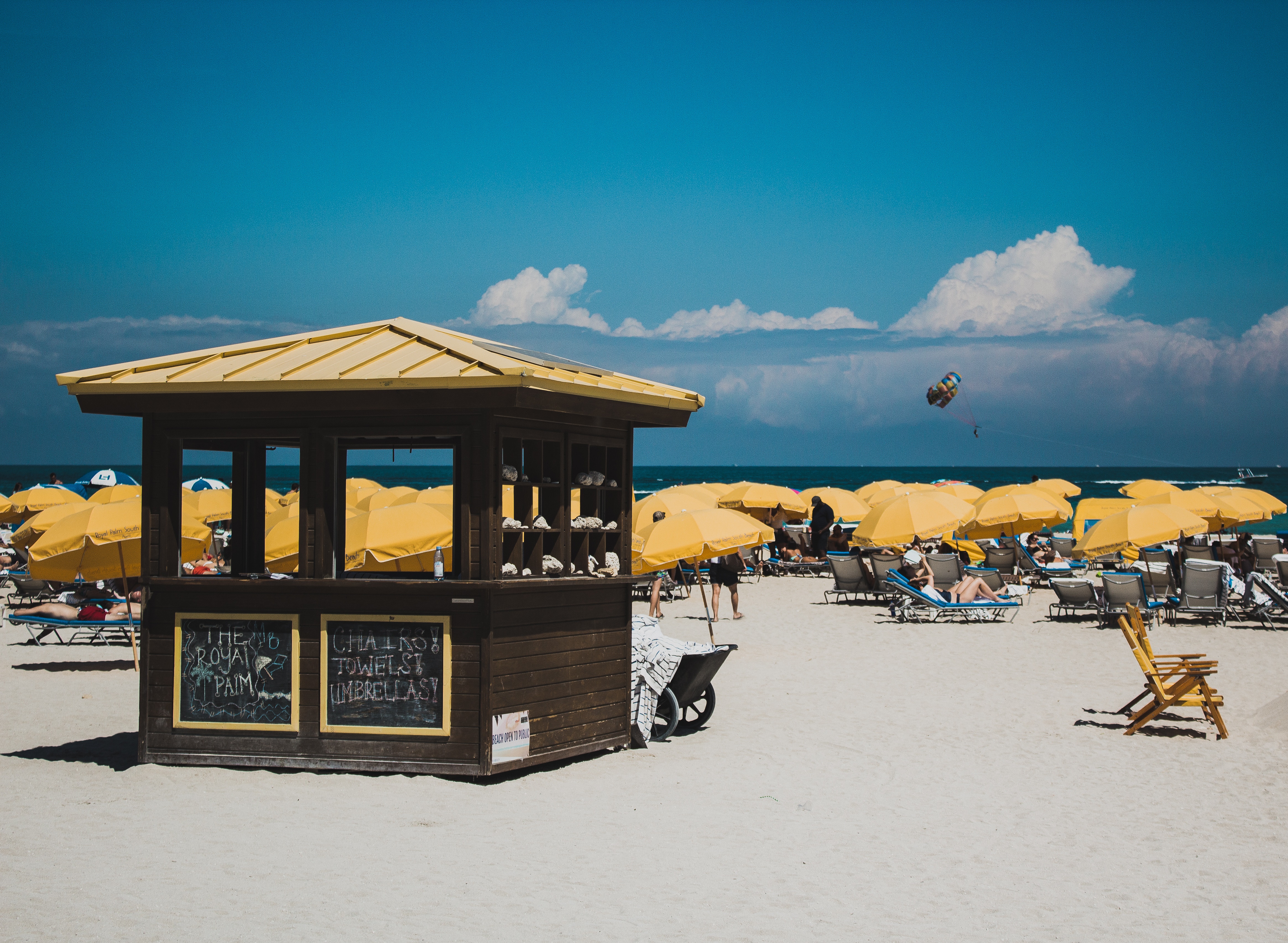
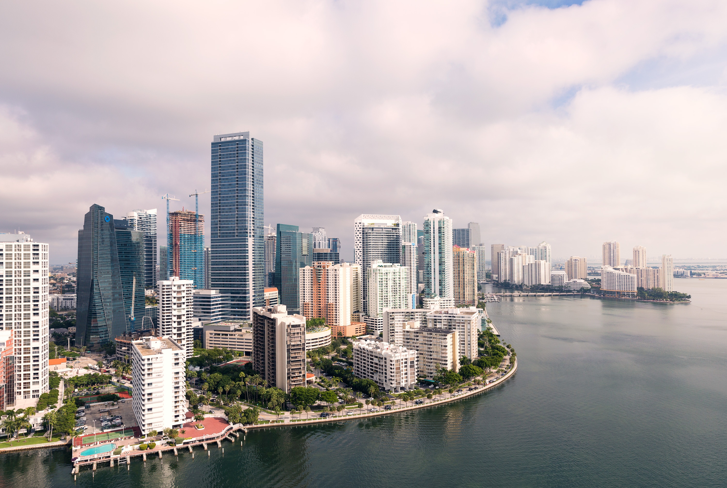
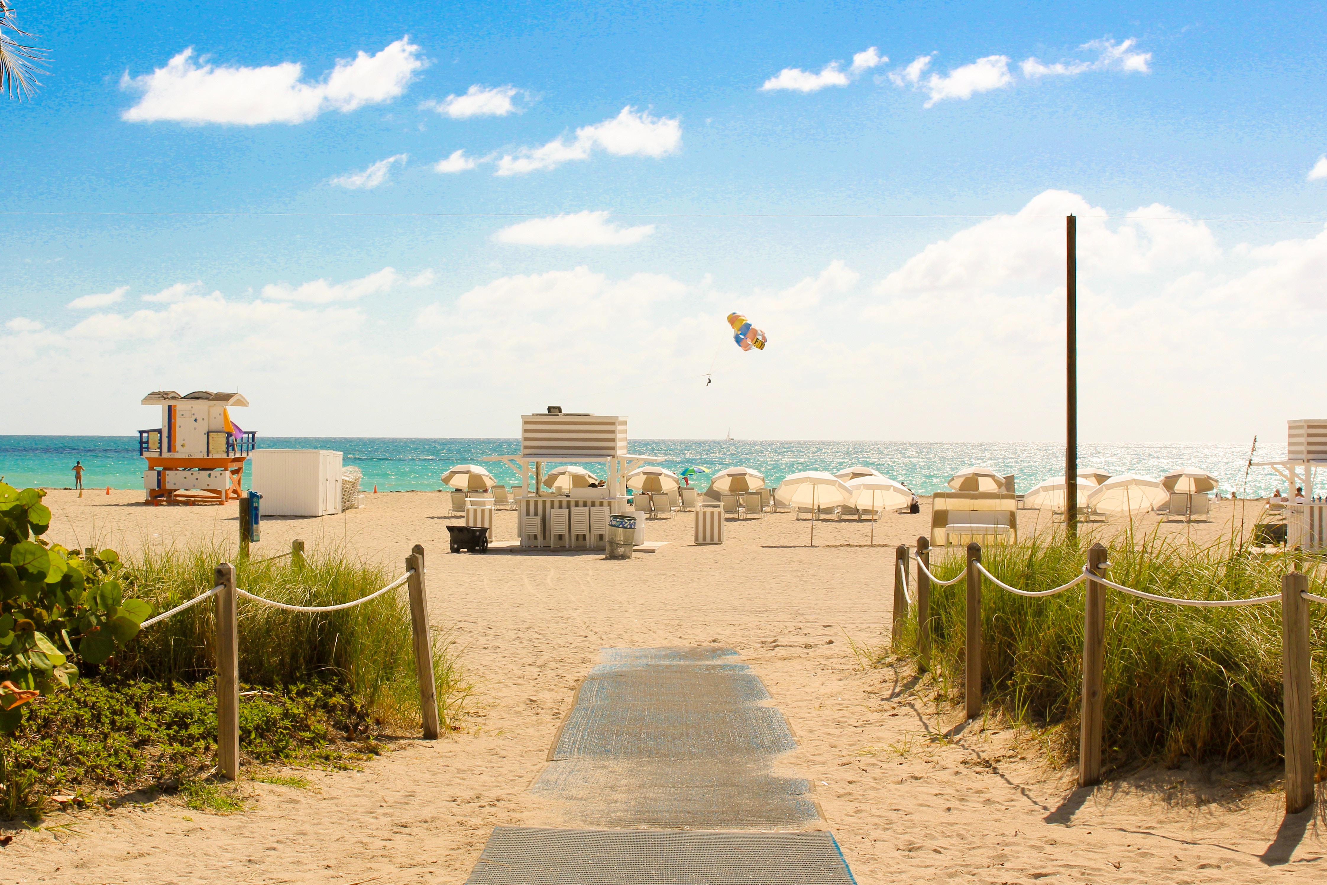
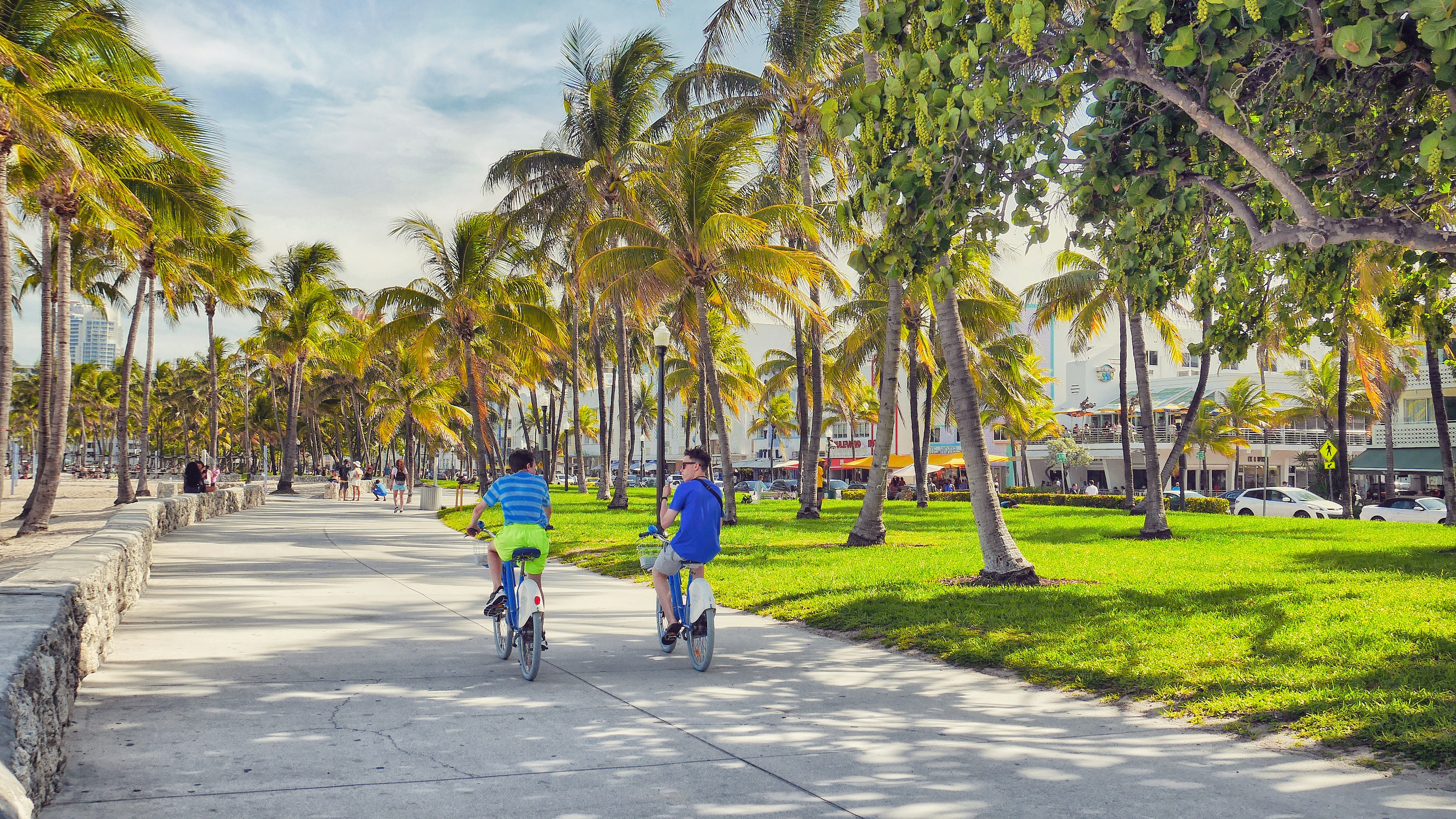
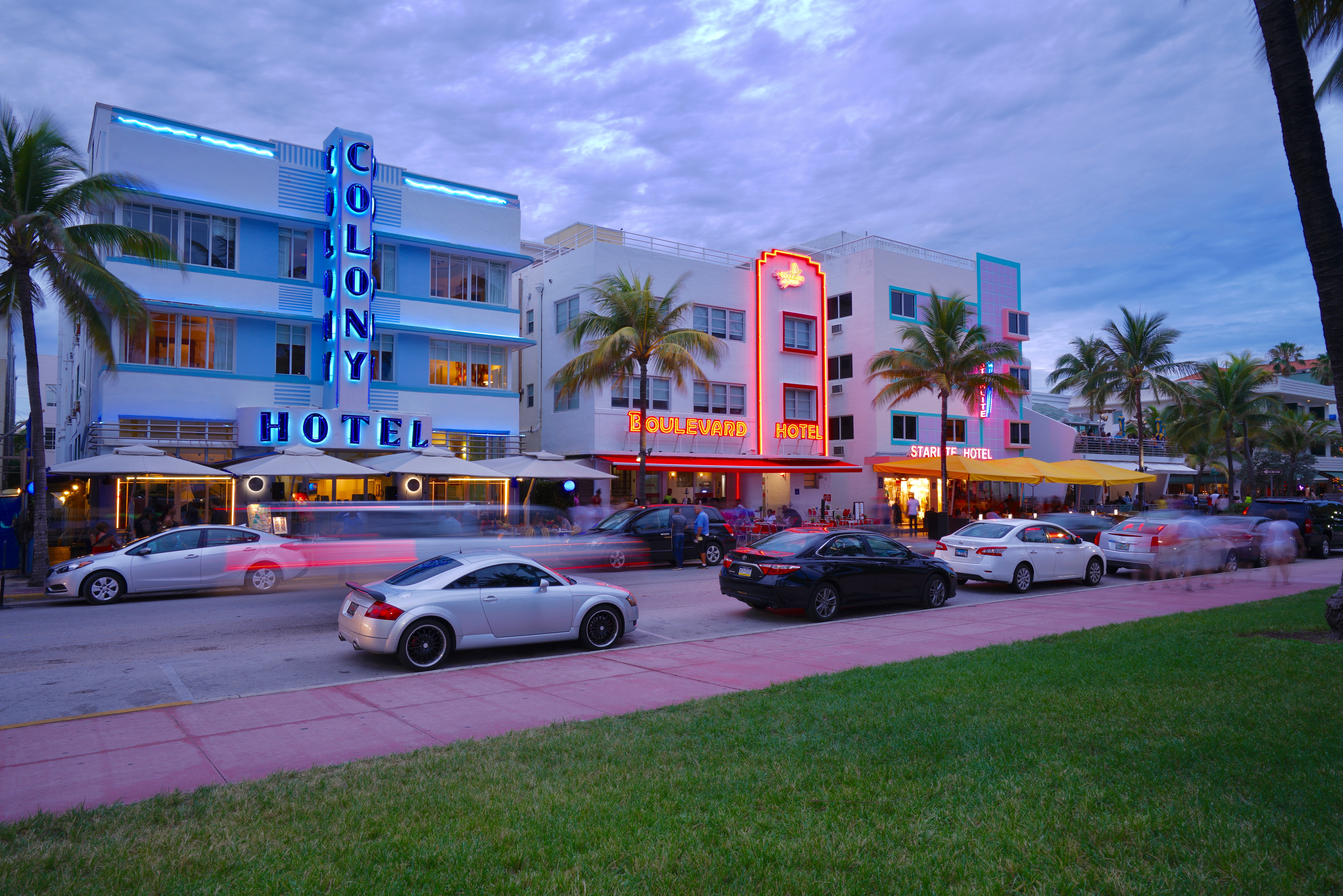
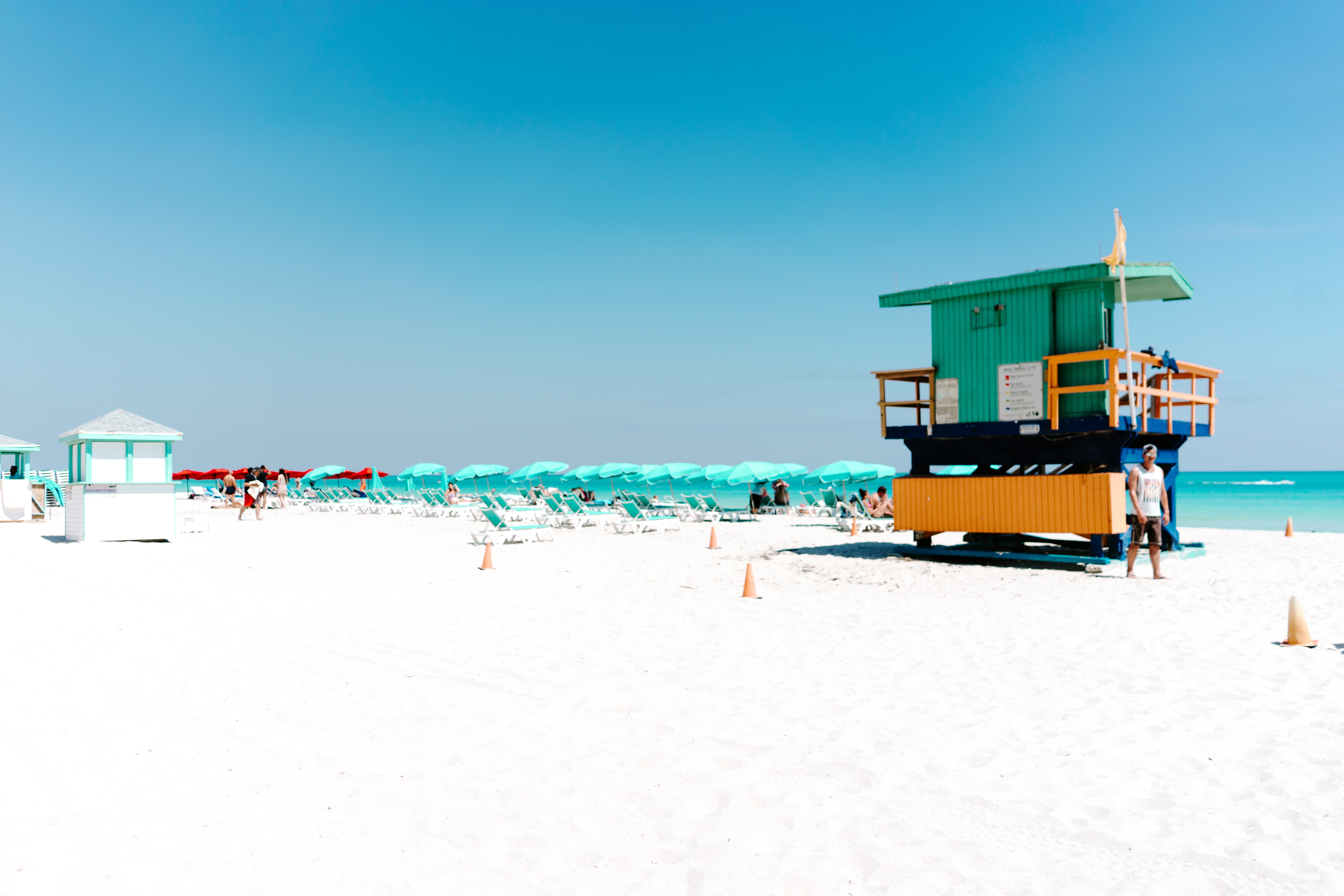
About Miami, Florida
Miami is one of the world’s most popular holiday spots. It has so much to offer; from its countless beach areas, to culture and museums, from spa and shopping days out, to endless cuban restaurants and cafes. Miami is a multicultural city that has something to offer to everyone.
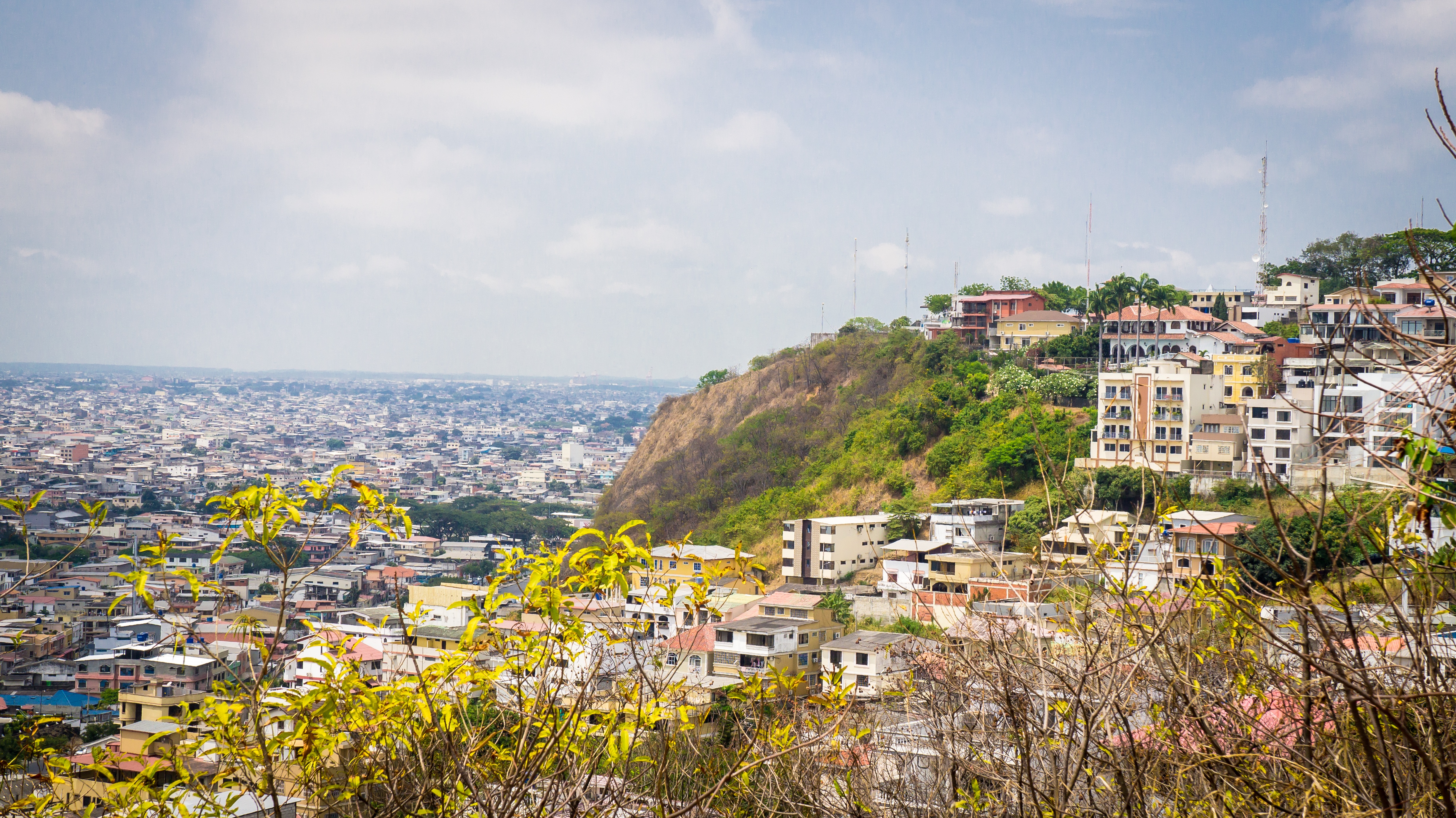
About Guayaquil
The second major jumping off point for the Galapagos Islands after Quito, this is a little city with a big heart. A sea port first and foremost, the city’s personality has been founded on that, and all the better it is for it too. Almost Caribbean in feeling, the clement climate coupled with the intermingling rhythms floating from the windows and abundance of fresh seafood make this a very tropical destination. Once not even considered by the travel books as a potential destination in its own right, the city has undergone something of a resurgence in the past few years. Proud Guayaquileños will not hestitate to point out the Malecón or the exciting new riverfront promenade, once a no-go area after dark, now happily (and hippily) lined with museums, restaurants, shops, and ongoing entertainment. The new airport and urban transportation network are also lauded to the happy tourists who find themselves here. As the largest and most populous city in Ecuador as well as being the commercial centre, it would only be natural that the city would have some kind of modern architecture, but it is the colourful favelas, or to use their real name guasmos, that cling to the side of the hillside like limpets that really catch your eye. A blend of old and new, the first inhabitants can be traced back to 1948 when the government cleared the area for affordable housing, these shanty towns are witness to the social and political particularities that Guayaquil has faced in the past.
About Machala
Several National Sanctuaries and Ecological Reserves found near Machala boast sun-drenched beaches and mangrove forests. Pelicans, frigatebirds, and egrets nest nearby as Blue-footed Boobies dive for fish further out to sea. Whales and dolphins can occasionally be seen in the vicinity. Machala, with a population of approximately 250,000 inhabitants, is moreover known for traditional Latin American foods from shrimp ceviche to fried bananas. In fact, bananas feature heavily in the culture as the city is also known as the “Capital of the Banana.” During the third week of September the ‘World Fair of the Banana’ is held here and producers and buyers from Perú, Costa Rica, Colombia, Venezuela, México, Paraguay, Uruguay, Bolivia, Argentina, Guatemala, Panamá, República Dominicana, El Salvado, Honduras and Ecuador attend the event.
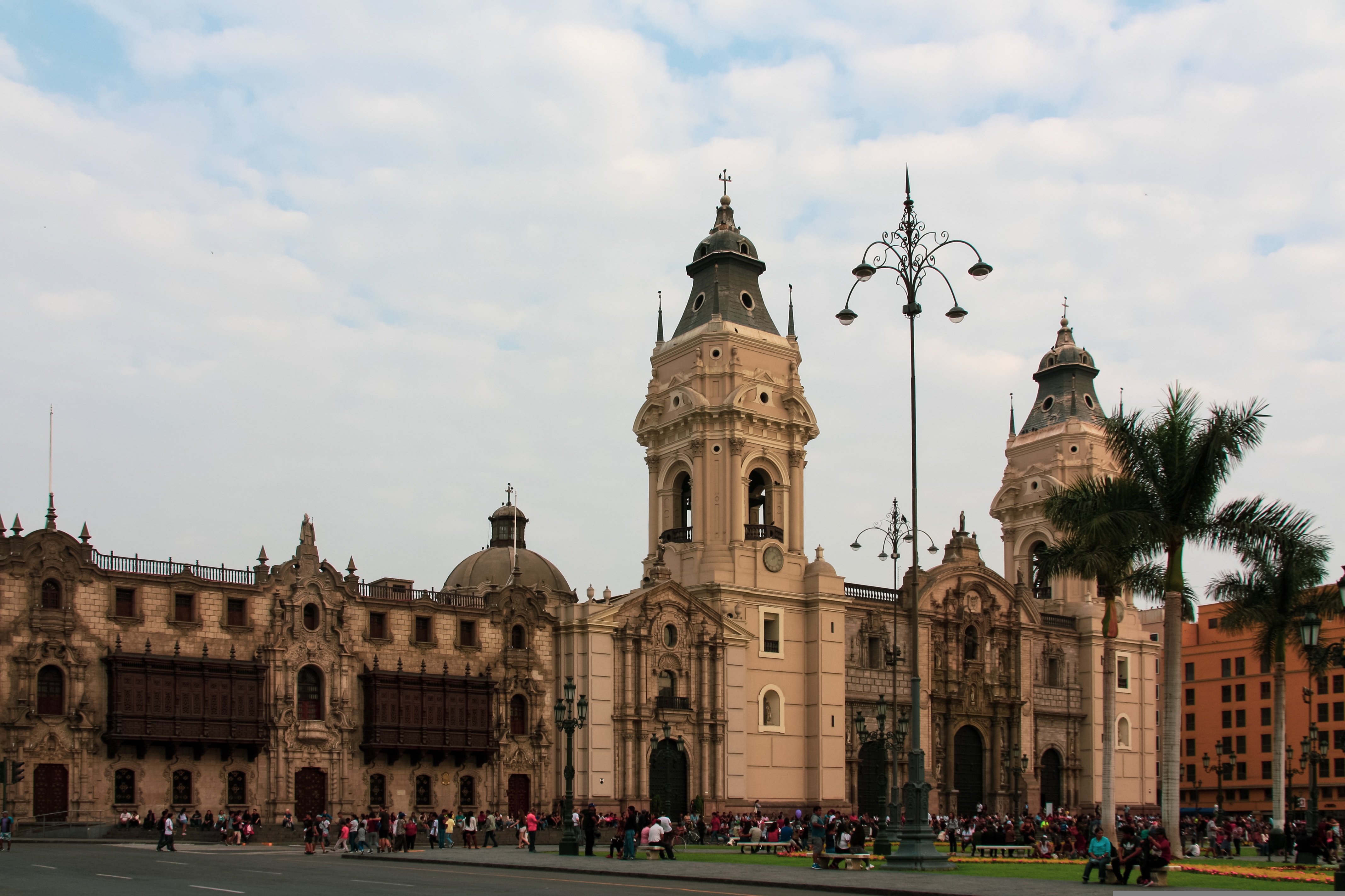
About Callao
When people discuss great South American cities, Lima is often overlooked. But Peru's capital can hold its own against its neighbors. It has an oceanfront setting, colonial-era splendor, sophisticated dining, and nonstop nightlife.It's true that the city—clogged with traffic and choked with fumes—doesn't make a good first impression, especially since the airport is in an industrial neighborhood. But wander around the regal edifices surrounding the Plaza de Armas, among the gnarled olive trees of San Isidro's Parque El Olivar, or along the winding lanes in the coastal community of Barranco, and you'll find yourself charmed.In 1535 Francisco Pizarro found the perfect place for the capital of Spain's colonial empire. On a natural port, the so-called Ciudad de los Reyes (City of Kings) allowed Spain to ship home all the gold the conquistador plundered from the Inca. Lima served as the capital of Spain's South American empire for 300 years, and it's safe to say that no other colonial city enjoyed such power and prestige during this period.When Peru declared its independence from Spain in 1821, the declaration was read in the square that Pizarro had so carefully designed. Many of the colonial-era buildings around the Plaza de Armas are standing today. Walk a few blocks in any direction for churches and elegant houses that reveal just how wealthy this city once was. But the poor state of most buildings attests to the fact that the country's wealthy families have moved to neighborhoods to the south over the past century.The walls that surrounded the city were demolished in 1870, making way for unprecedented growth. A former hacienda became the graceful residential neighborhood of San Isidro. In the early 1920s the construction of tree-lined Avenida Arequipa heralded the development of neighborhoods such as bustling Miraflores and bohemian Barranco.Almost a third of the country's population of 29 million lives in the metropolitan area, many of them in relatively poor conos: newer neighborhoods on the outskirts of the city. Most residents of those neighborhoods moved there from mountain villages during the political violence and poverty that marked the 1980s and ’90s, when crime increased dramatically. During the past decade the country has enjoyed peace and steady economic growth, which have been accompanied by many improvements and refurbishment in the city. Residents who used to steer clear of the historic center now stroll along its streets. And many travelers who once would have avoided the city altogether now plan to spend a day here and end up staying two or three.
About General San Martin
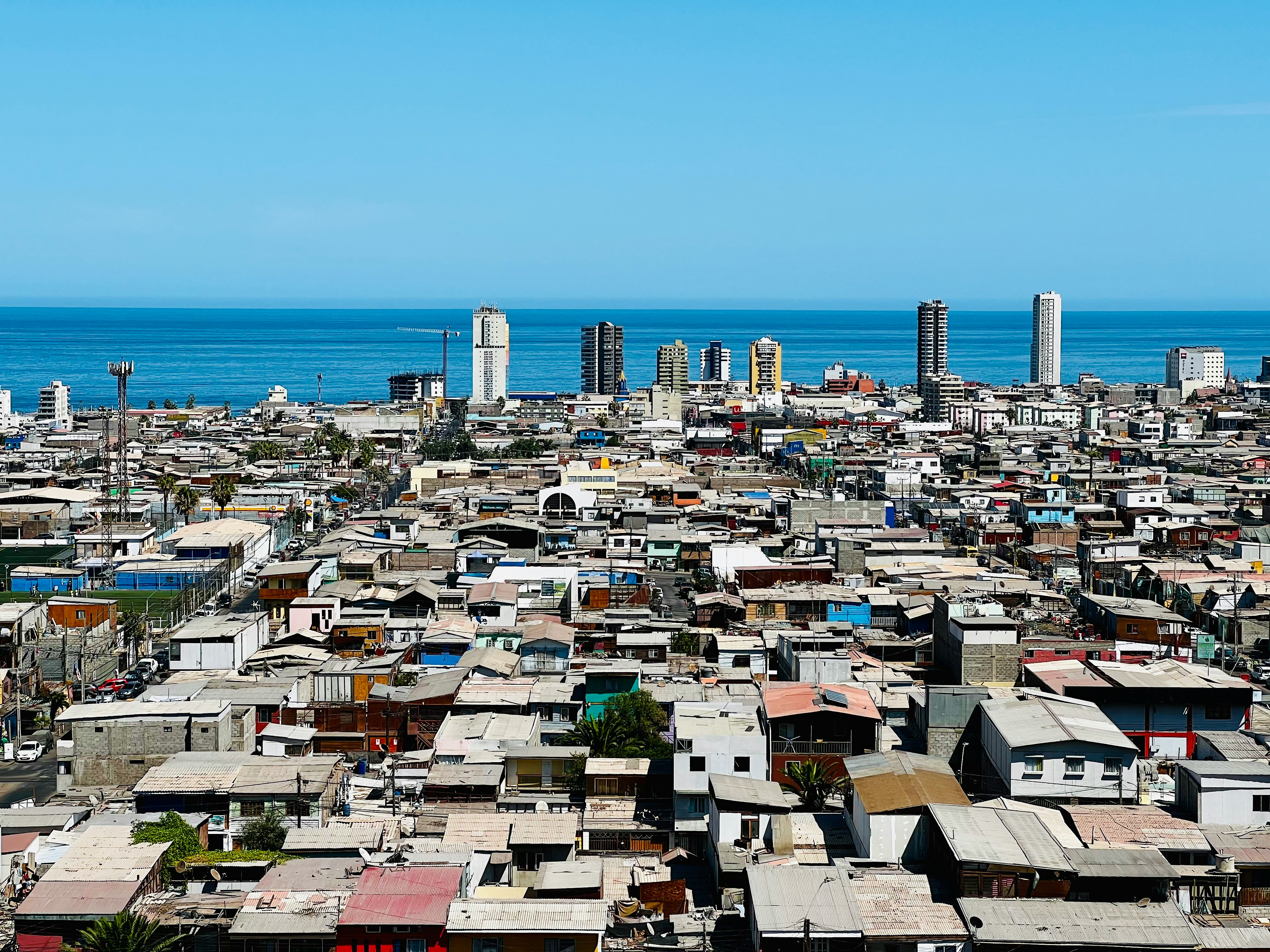
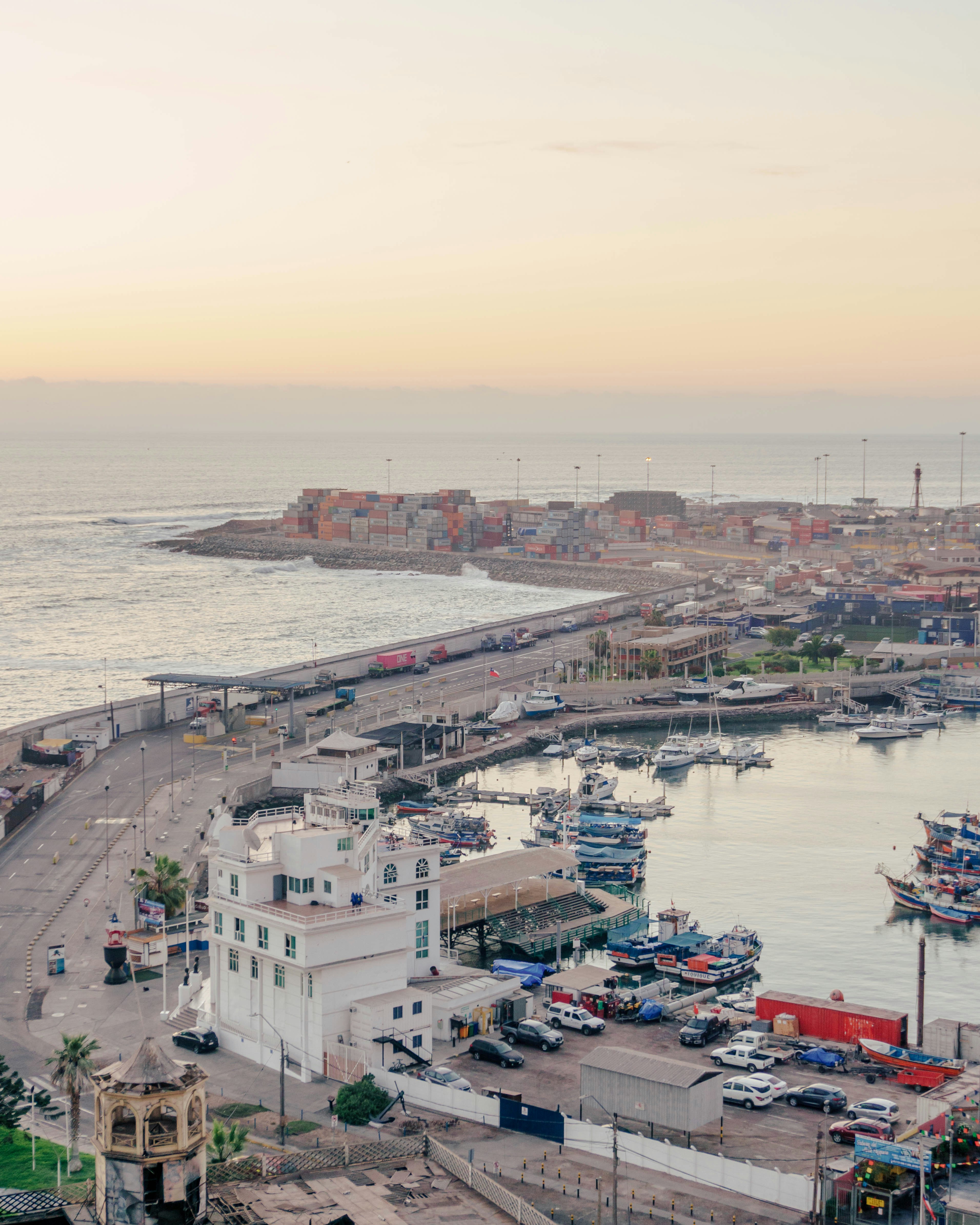
About Iquique
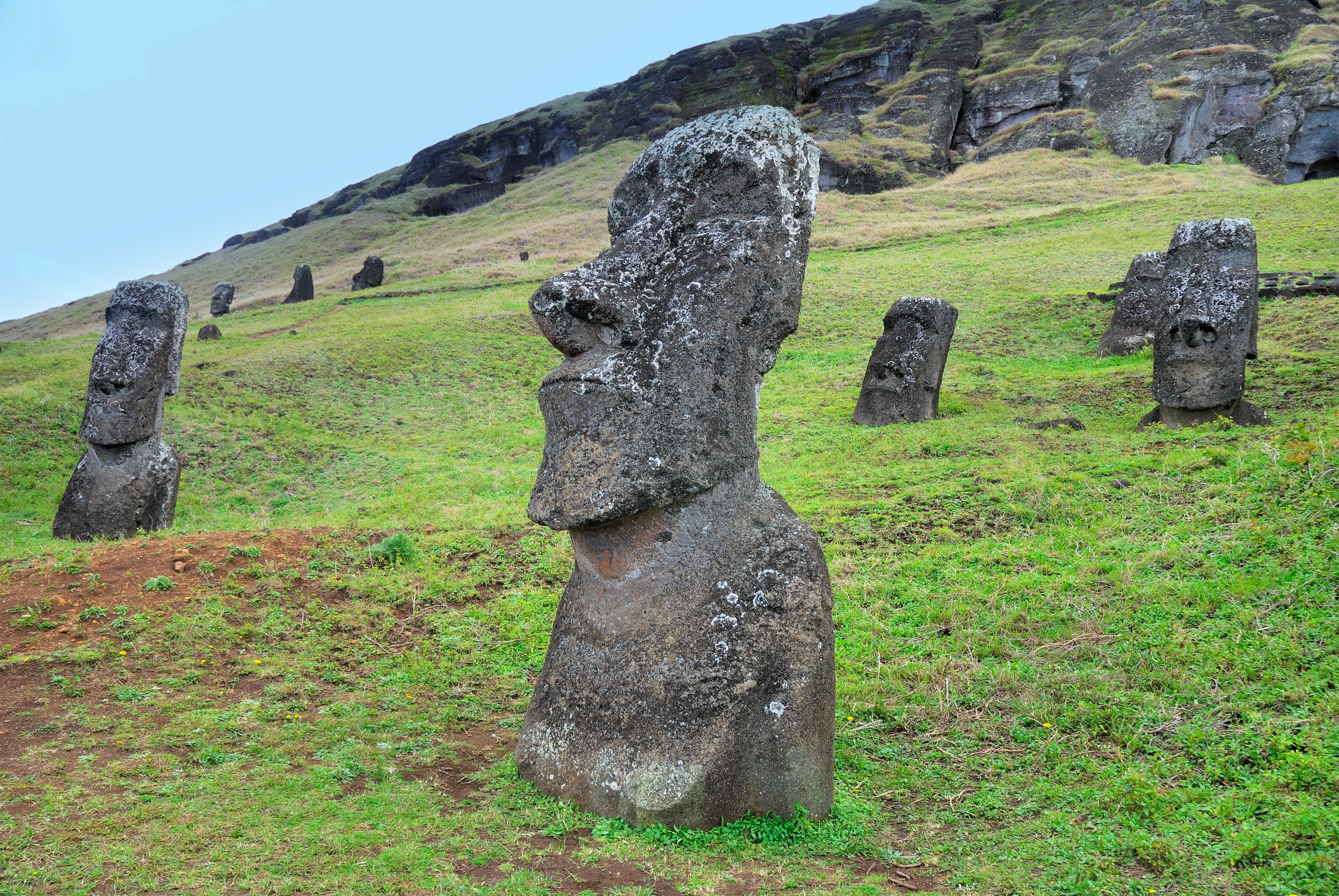
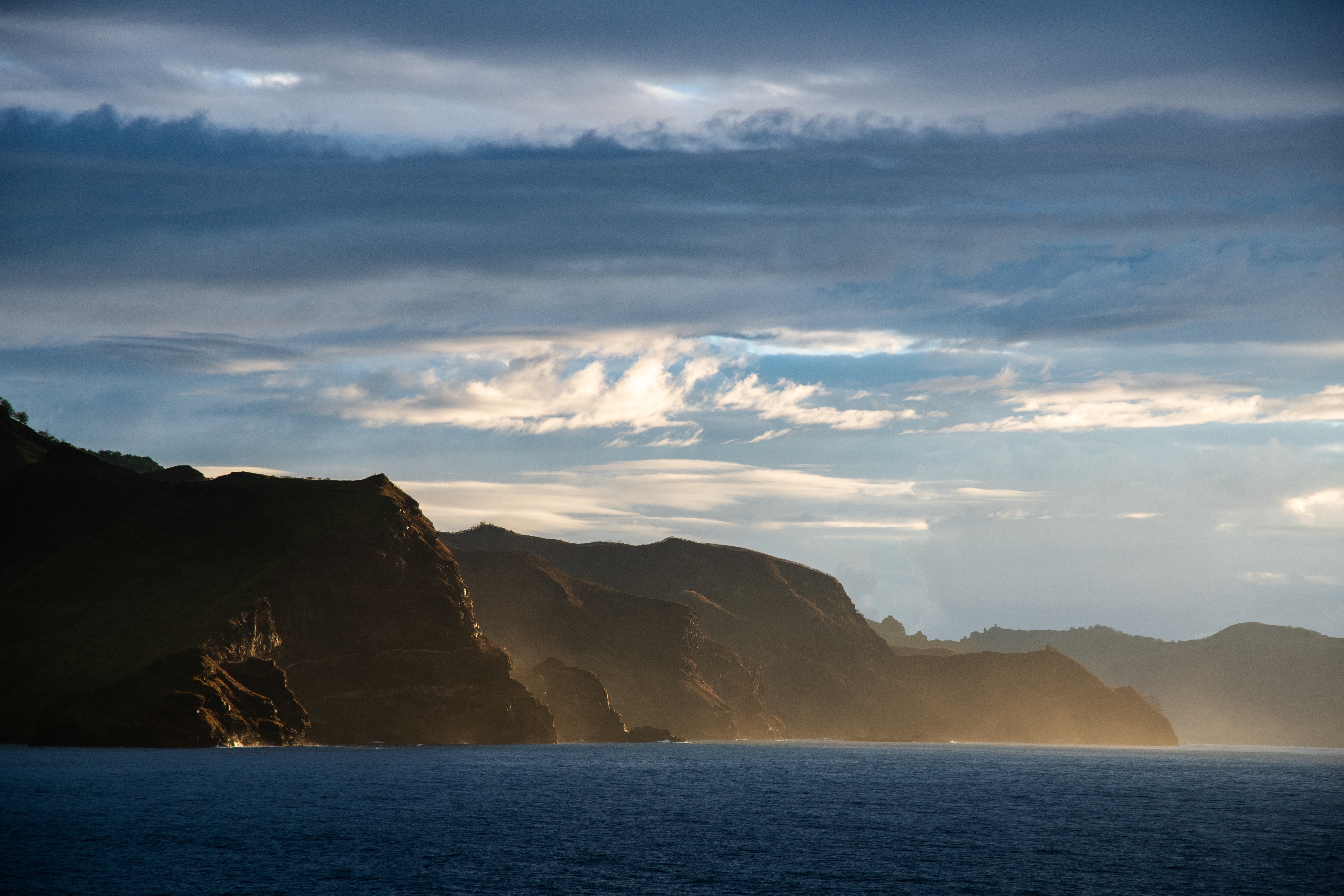
About Hangaroa, Easter Island
Discovered (by the Western world) on Easter Sunday, 1722, Easter Island is a UNESCO World Heritage Site and one of the most isolated places on the face of the Earth, some 2,300 miles from the Chilean mainland. Although more Polynesian than South American in character, the 64-square mile island was annexed by Chile in 1888, and is now famous as the world’s largest ‘open air museum’ on account of the Moai, or human-like stone statues, that can be found on the island. The Moai remain very much a mystery, which archaeologists are still trying to unlock by interpreting an ancient language of the Rapa Nui, which is the key to understanding this culture, and is written on the so called ‘rongo rongo tablets’. The island owes its origin to three volcanoes which erupted some three million years ago: Poike, Rano Kau and Maunga Terevaka. It is not known when or how the island was first populated, but the most credible theory suggests that the Rapa Nui people came from other Pacific islands in the 4th century AD. In addition to the cultural and archaeological interest, there are the beautiful beaches, transparent waters, and coral reefs that might be expected of a Pacific Island.
About Nuku Hiva Island
About Hiva Oa Island
About Fakarava
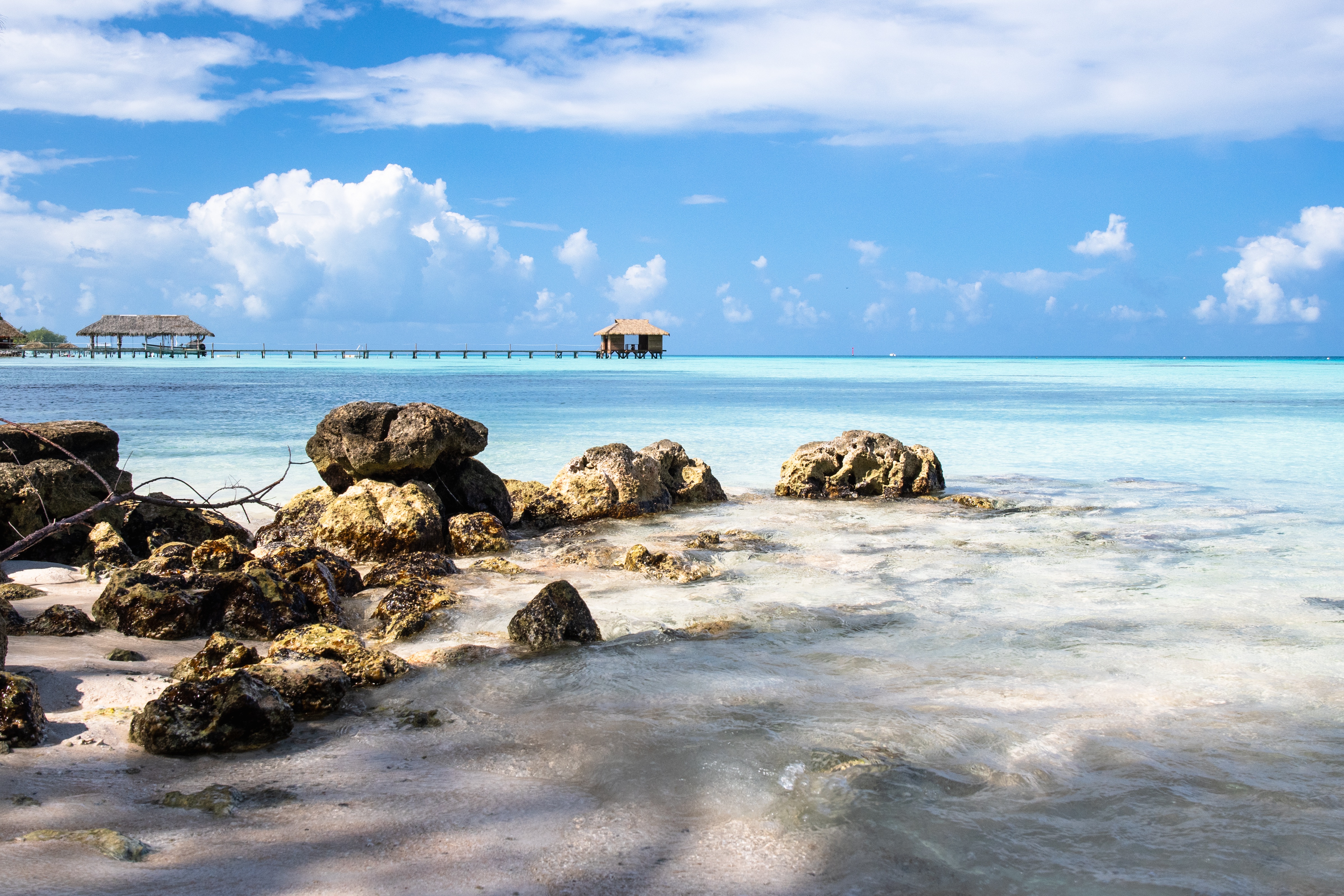
About Rangiroa
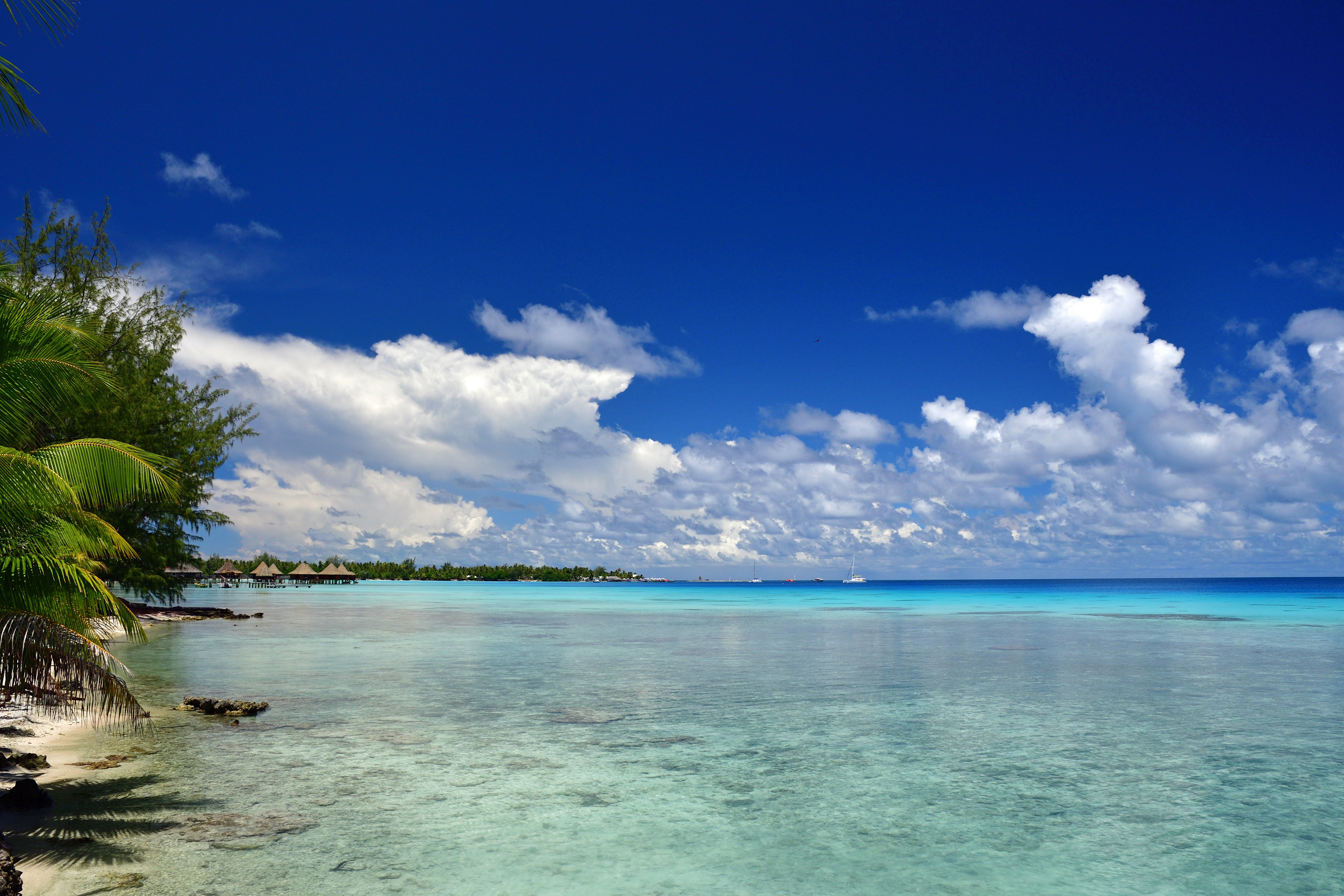
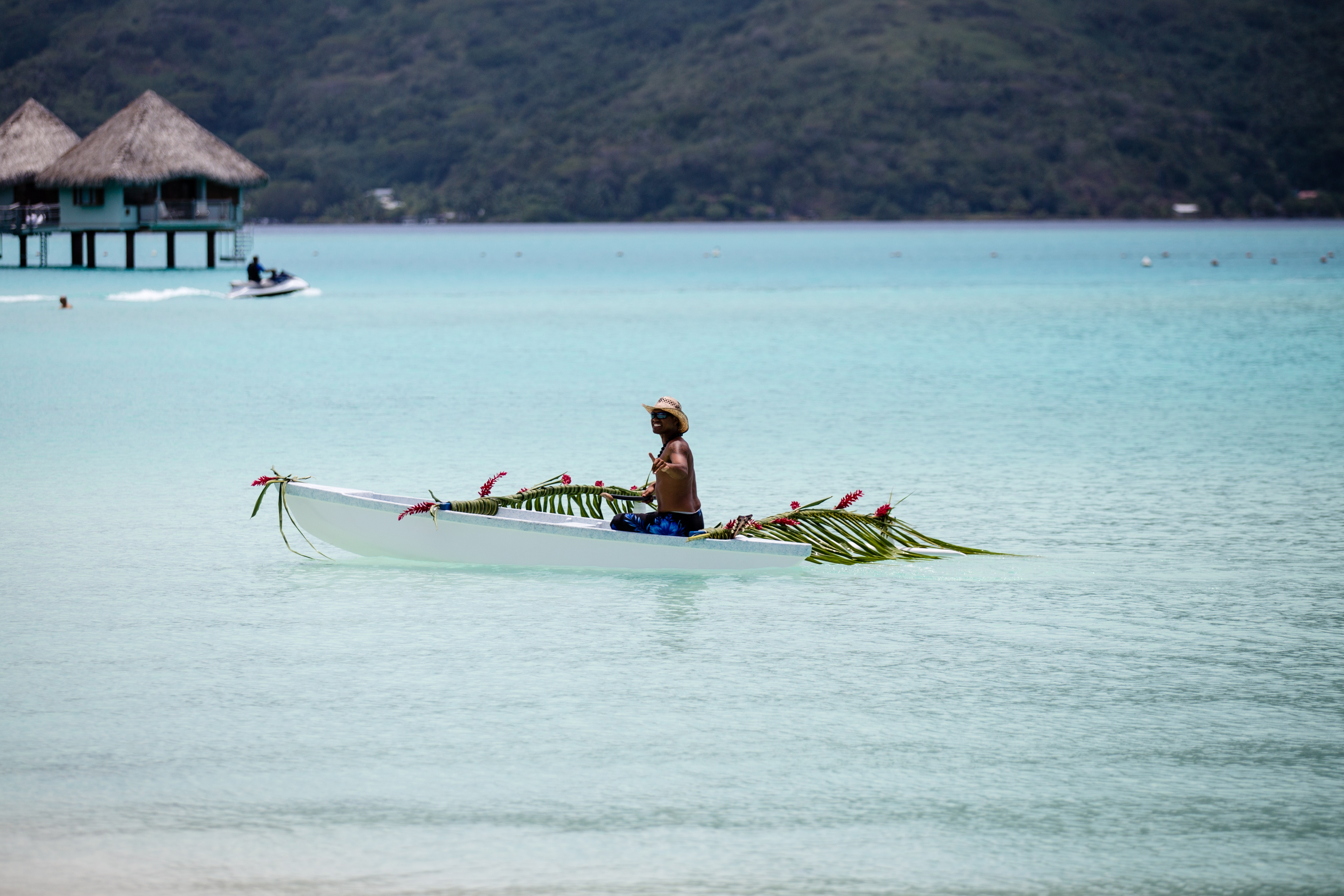
About Papeete, Tahiti
Papeete will be your gateway to the tropical paradise of French Polynesia, where islands fringed with gorgeous beaches and turquoise ocean await to soothe the soul. This spirited city is the capital of French Polynesia, and serves as a superb base for onward exploration of Tahiti – an island of breathtaking landscapes and oceanic vistas. Wonderful lagoons of crisp, clear water beg to be snorkelled, stunning black beaches and blowholes pay tribute to the island's volcanic heritage, and lush green mountains beckon you inland on adventures, as you explore extraordinary Tahiti. Visit to relax inside picturesque stilted huts, which stand out over shimmering water, as you settle into the intoxicating rhythm of life, in this Polynesian paradise.
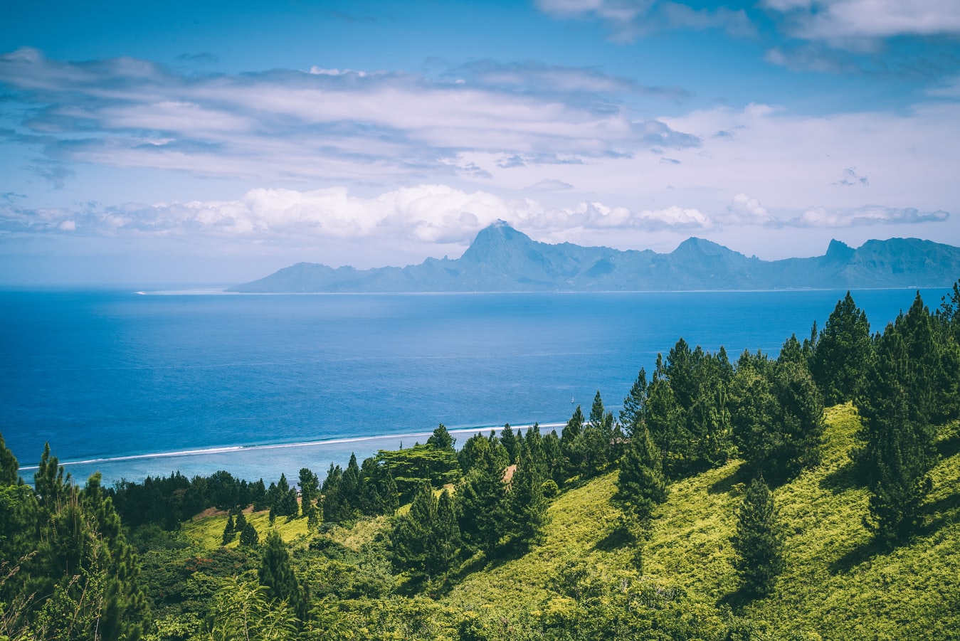
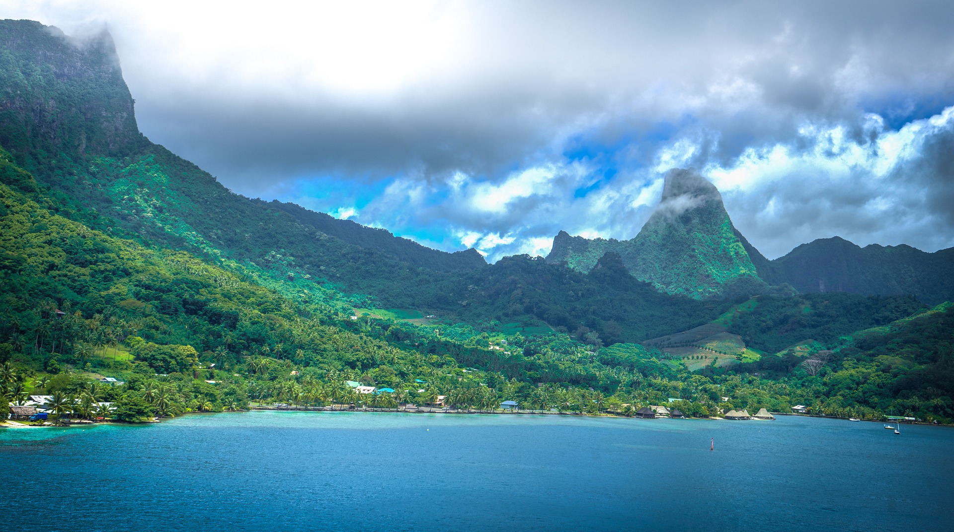
About Moorea
Mo’orea is one of the Society Islands of the French Polynesia. Located in the South Pacific, it is considered a magical island thanks to its majestic volcanic mountains, set against warm lagoon waters and green meadows. It is an island that attracts visitors of all abilities wanting to explore both above and below the ocean waters.
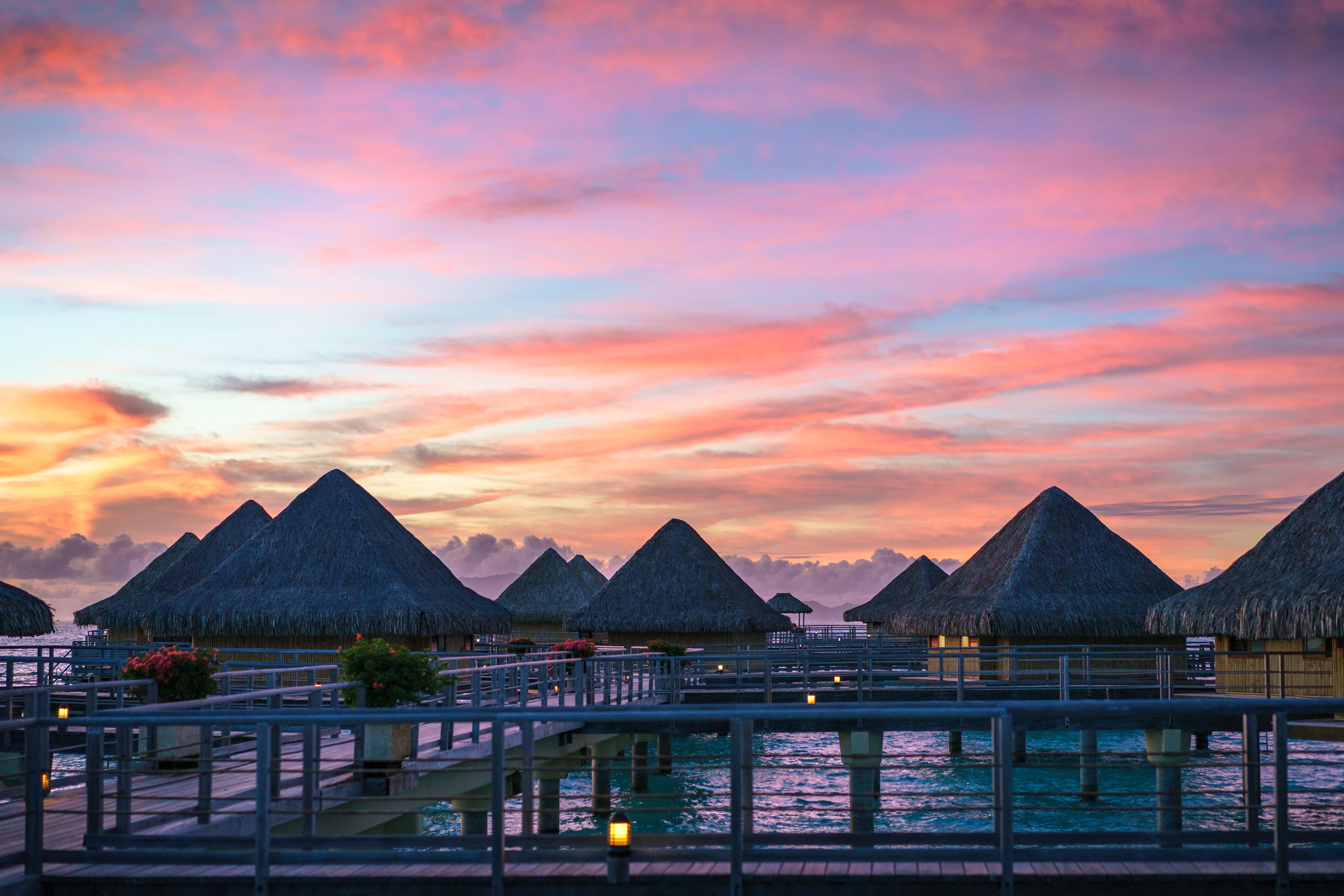
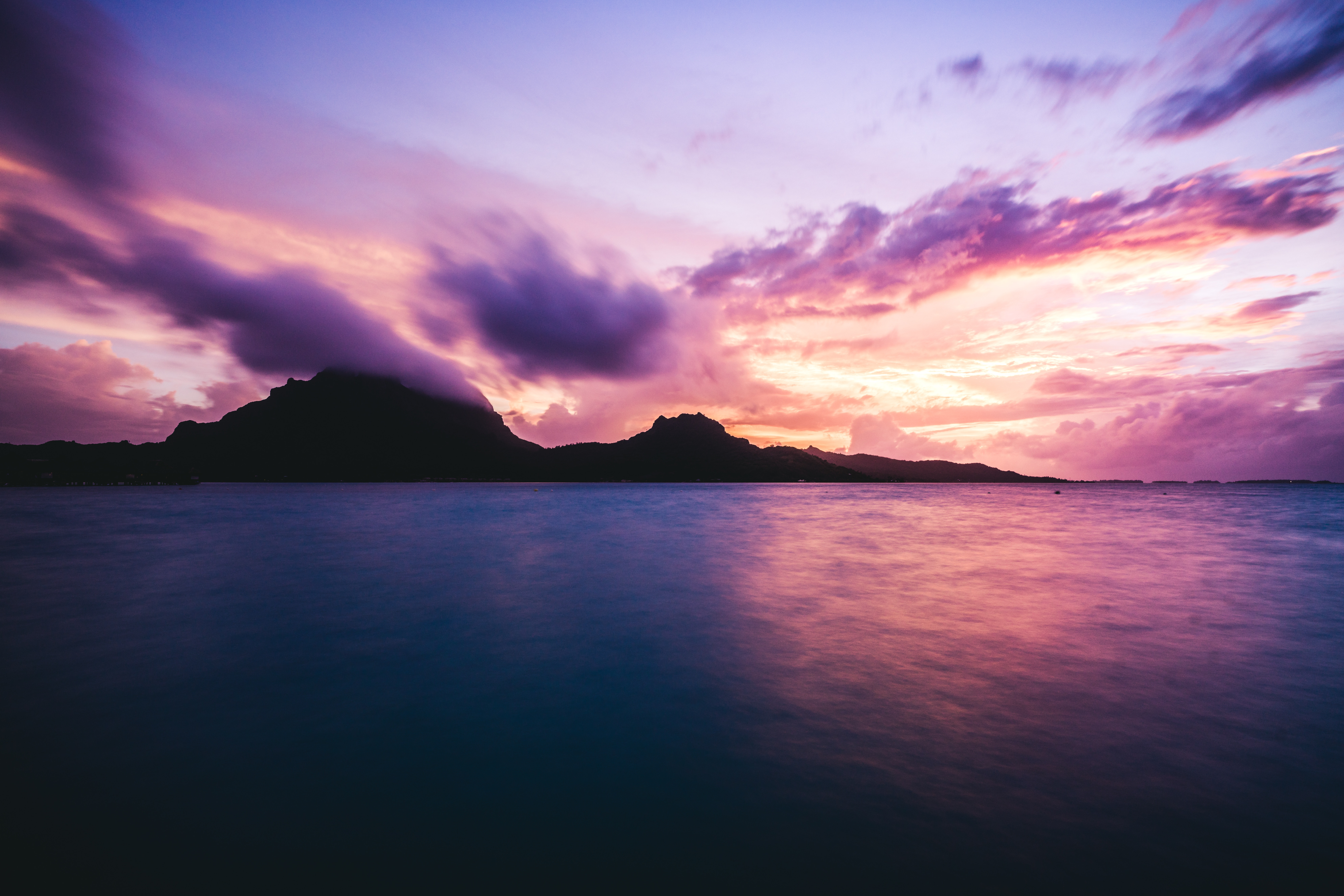
About Bora-Bora
Simply saying the name Bora Bora is usually enough to induce gasps of jealousy, as images of milky blue water, sparkling white beaches and casually leaning palm trees immediately spring to mind. The imagination doesn't lie, either, and if you visit, you’ll soon realise this island is every bit as gorgeous as you ever imagined. Thatched wooden huts stand out over shallow, sparkling seawater, with vivid fish swirling just below. Soak up the sun, scuba dive, or simply revel in the opulent luxury of one of the island's many magnificent resorts. If blissful inactivity doesn't appeal, then get active, and hike the greenery of the sharp Mount Pahia.
About Aitutaki
Even high praise like the 'world's most beautiful island' from Lonely Planet's co-founder, Tony Wheeler, won't prepare you for the intoxicating intensity of the coal blue ocean, the glow of the pure white sand, and the soothing ripple of the palm-tree forests at incredible Aitutaki. Breathless romance hangs thick in the air here, especially when a riot of purples, reds and oranges are spreading across the sky, accompanying the sun's descent each evening. It wasn't until 1789 that Europeans discovered this island haven, with the HMS Bounty's crew arriving, just a few weeks before a mutiny tore them apart. The Europeans were beaten to the islands, however, by the streamlined wooden canoes of the Polynesian settlers, who arrived around 900AD. While Western missionaries would eventually visit to spread Christianity to the island - evidenced by the white, coral-encrusted walls of the many churches - their efforts to repress the people’s deep love of communal singing and dancing ultimately failed, and music forms a key component of the islanders' culture to this day.The beaches here are flawless, and swaying in a hammock, suspended between leaning palm trees, as the ocean gently ruffles the sand nearby, feels gloriously indulgent. Aitutaki Lagoon is a huge aquamarine pool of water, alive with a kaleidoscopic swirl of tropical fish, which lurk just below the surface. You may even be lucky enough to spot turtles padding across the sand, scraping themselves towards the open ocean.The snorkelling opportunities here, and on One Foot Island - where you'll want to acquire the badge of honour of having your passport stamped with the island's iconic huge footprint - are sublime. Don't miss the tiny island of Moturakau either, which is crammed full of exotic birds and crabs, who have dominion over the island's tangled, jungle terrain.
About Nuku'alofa
Nukualofa is the capital city of the Kingdom of Tonga, a group of islands in the South Pacific. The islands of Tonga are lined with coral reefs and white sand beaches, and are protected by picturesque lagoons and limestone cliffs. Tonga is also one of the very few places in the world where visitors have the opportunity to swim with whales in the tropical ocean waters.
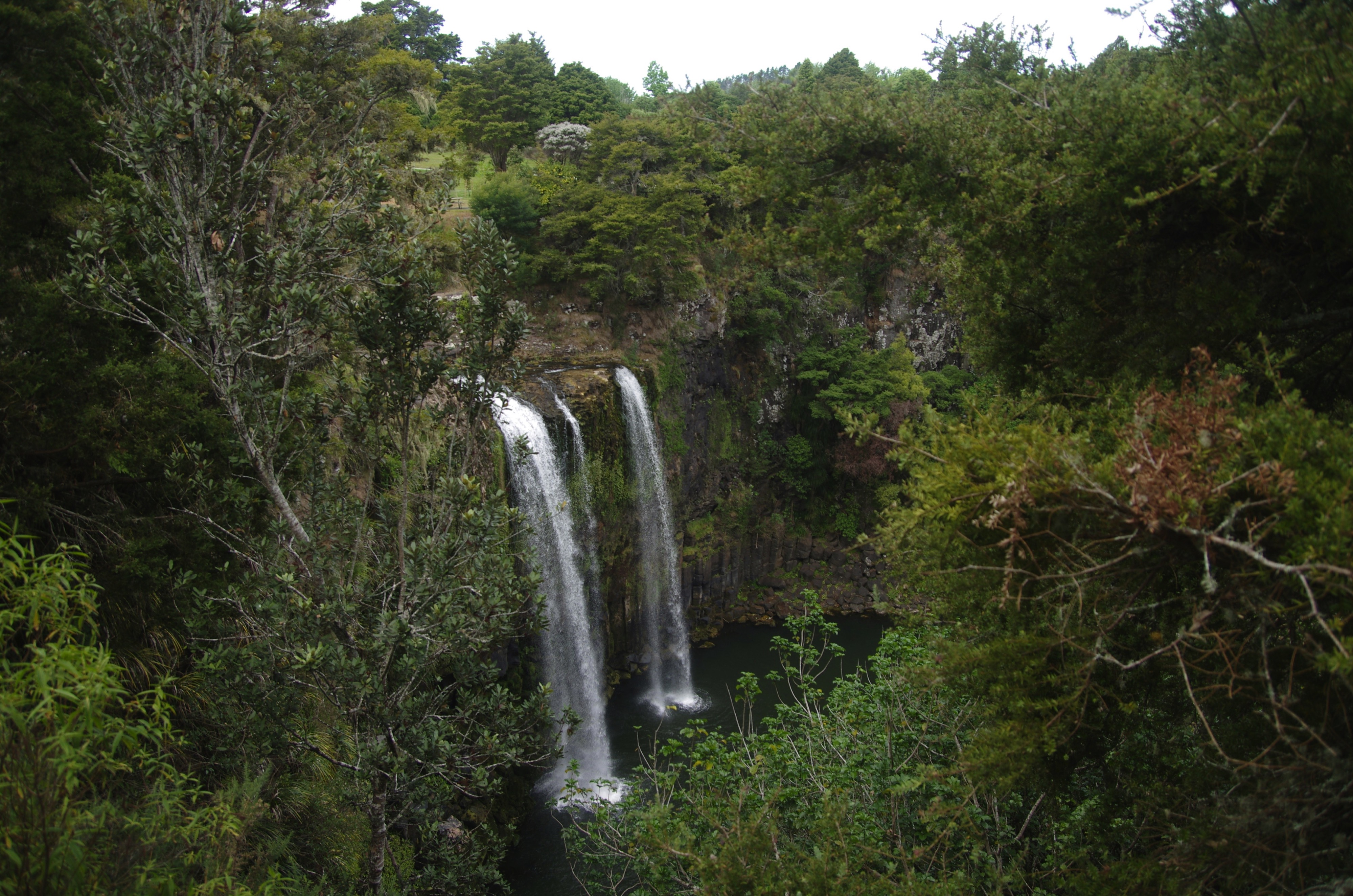
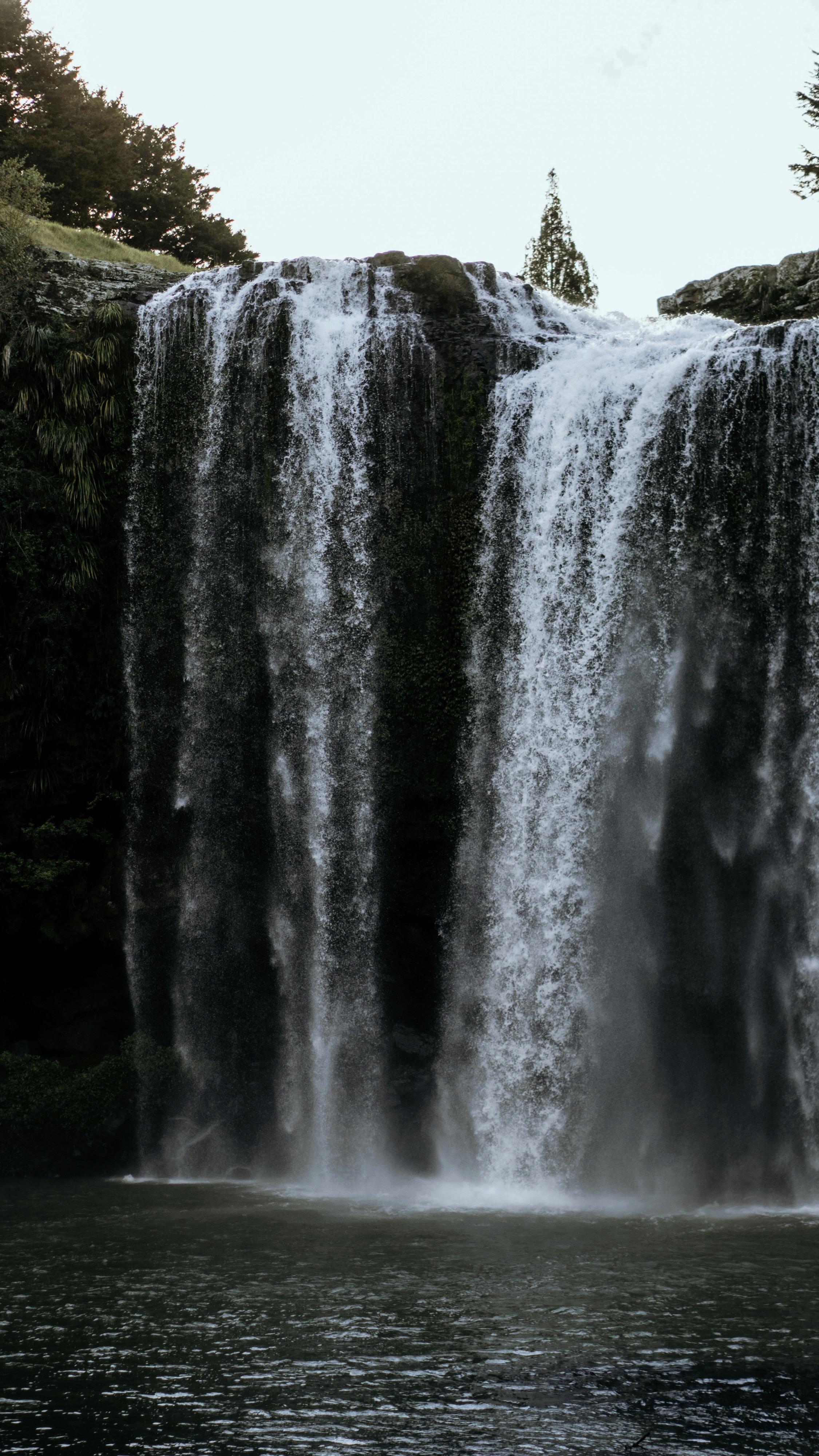
About Whangarei
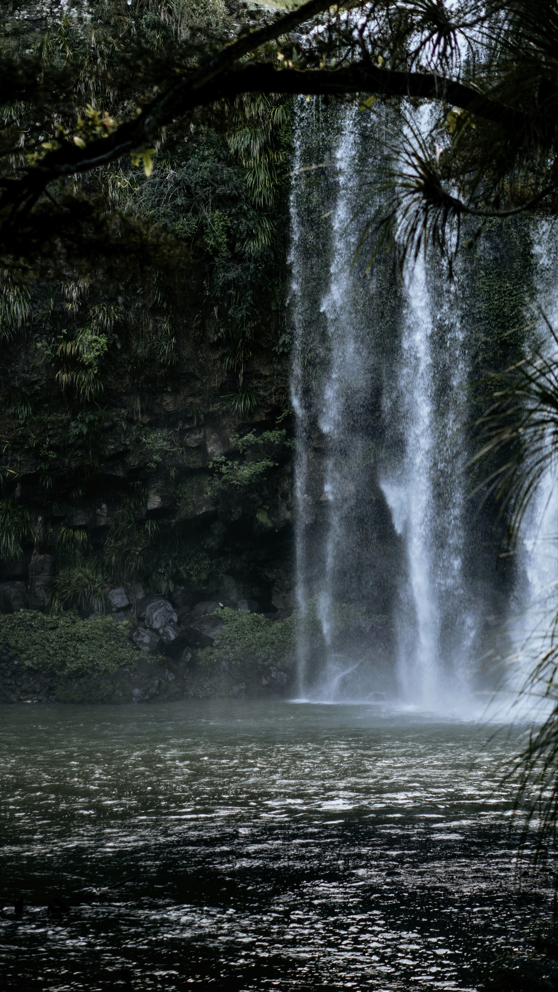
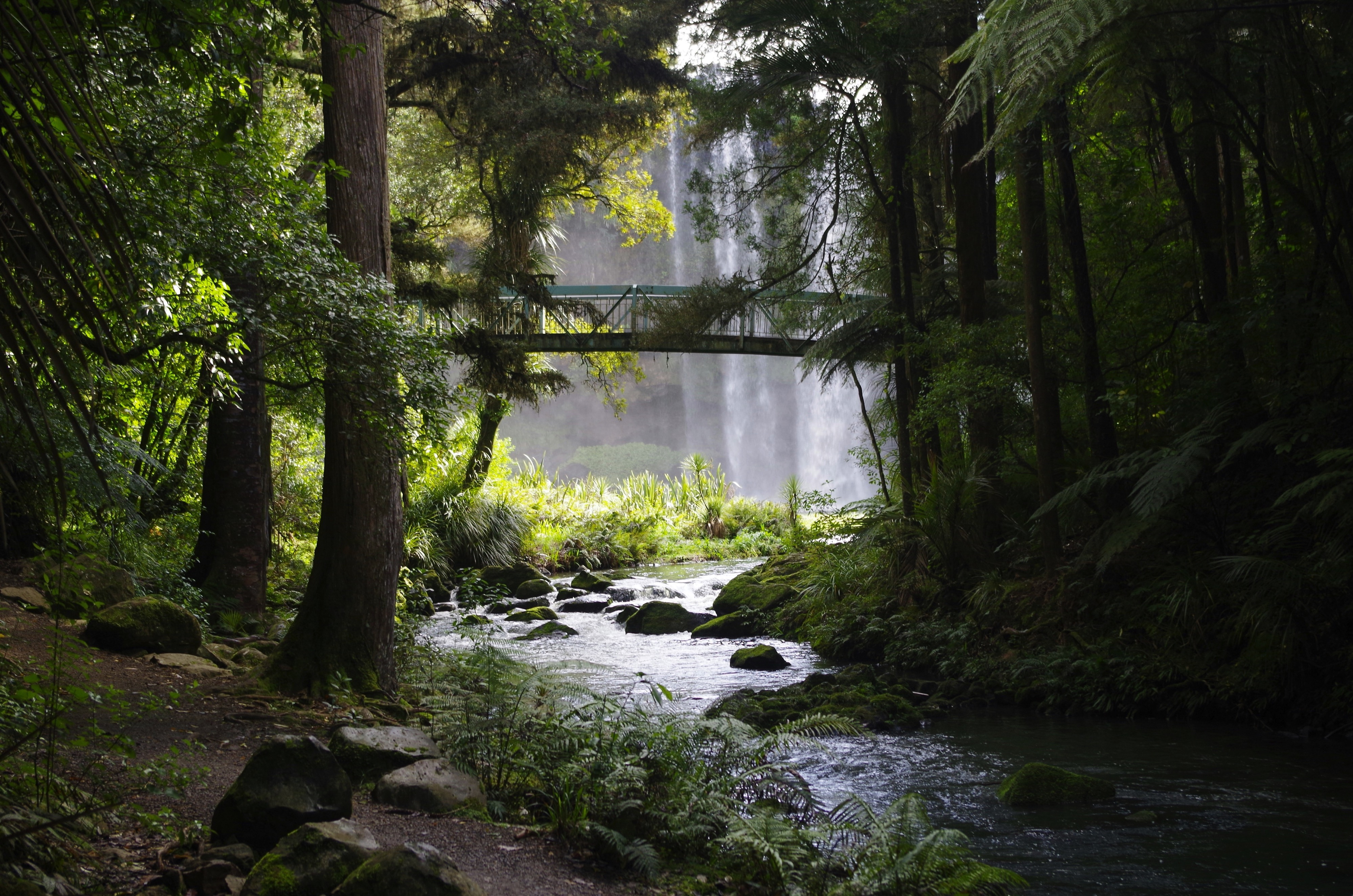
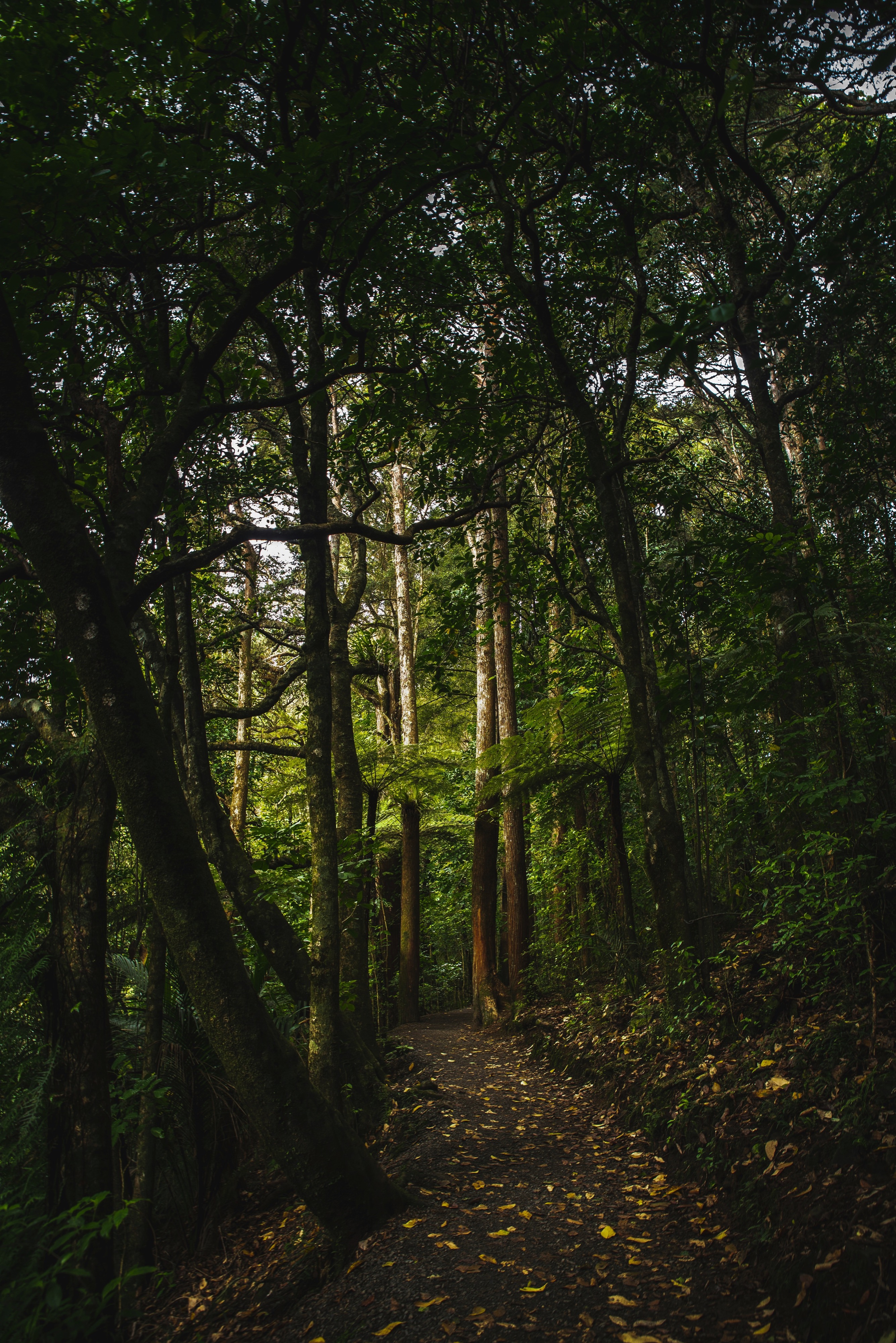
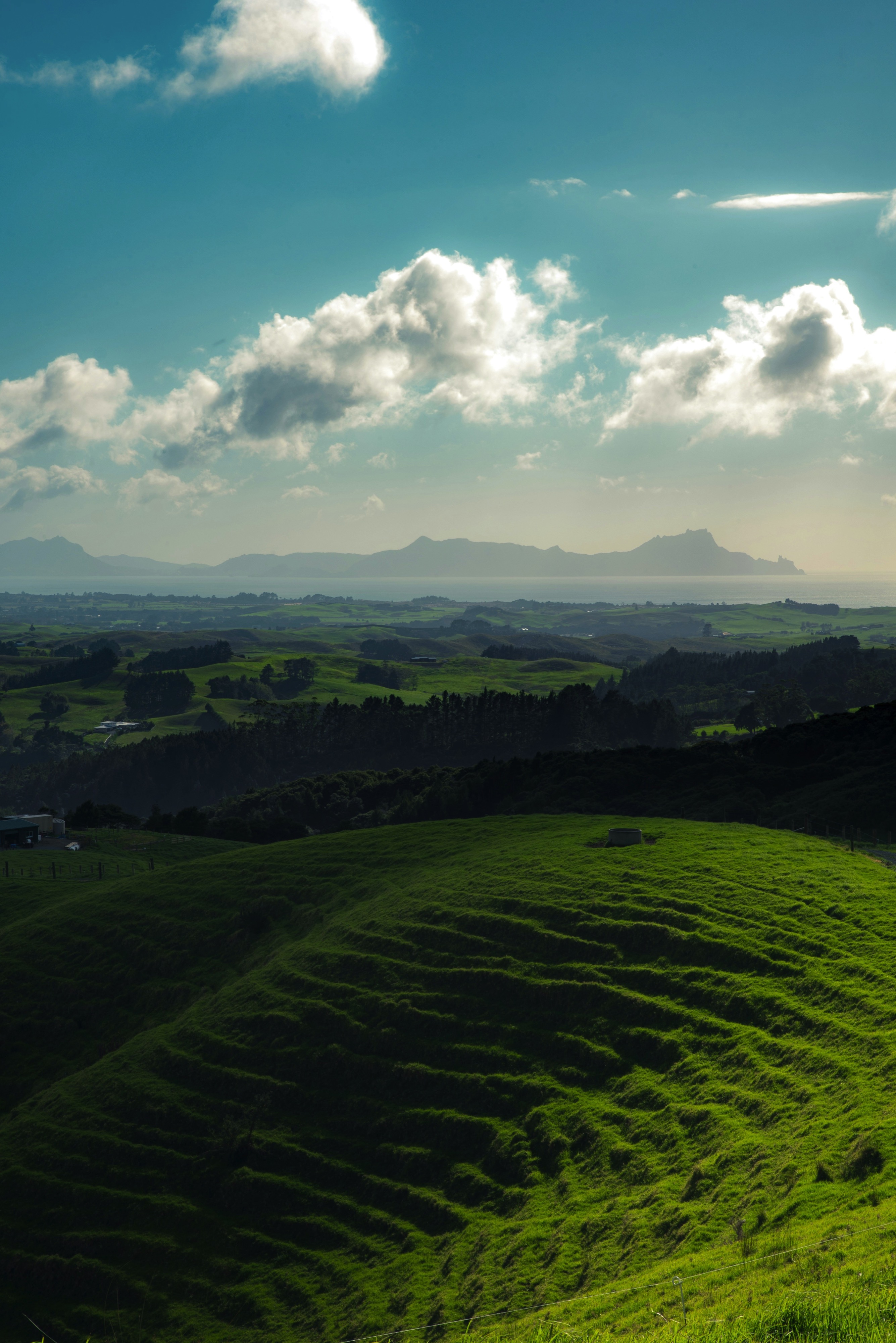
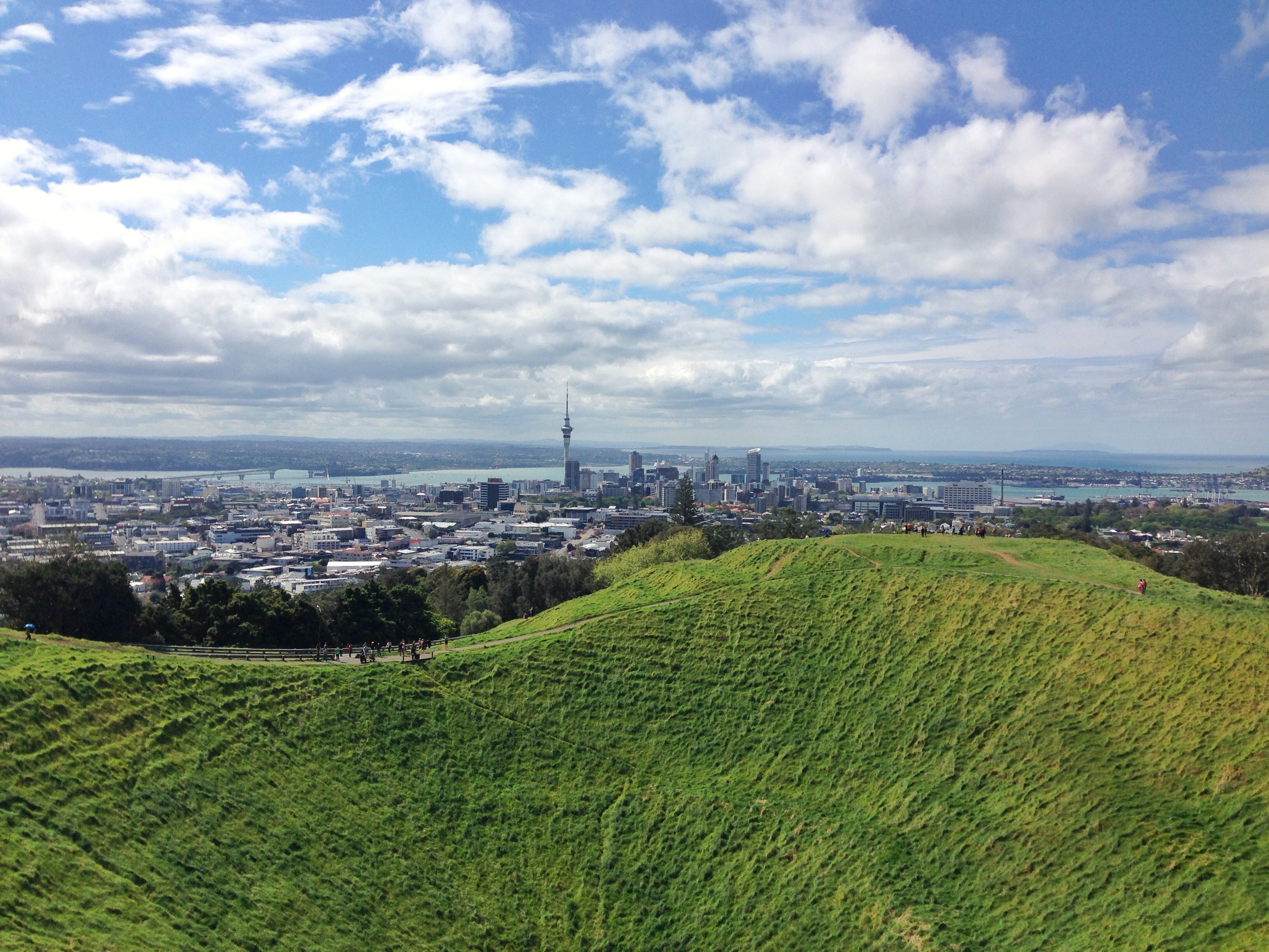
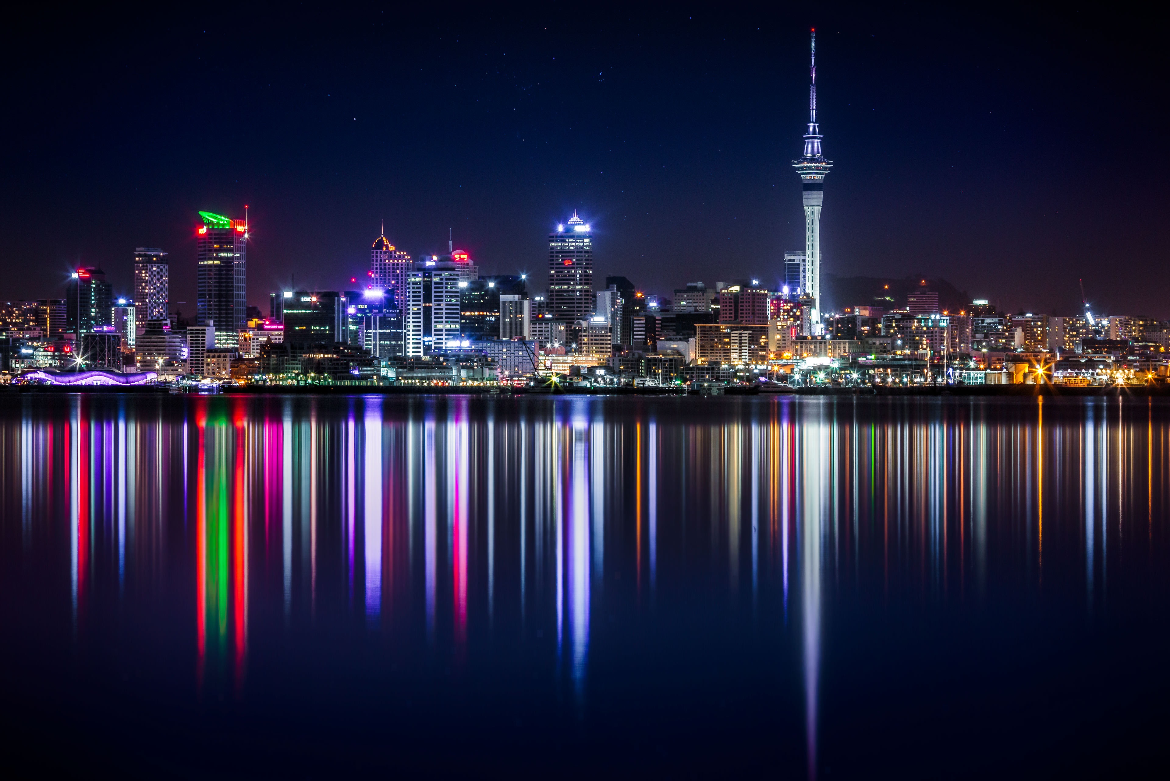
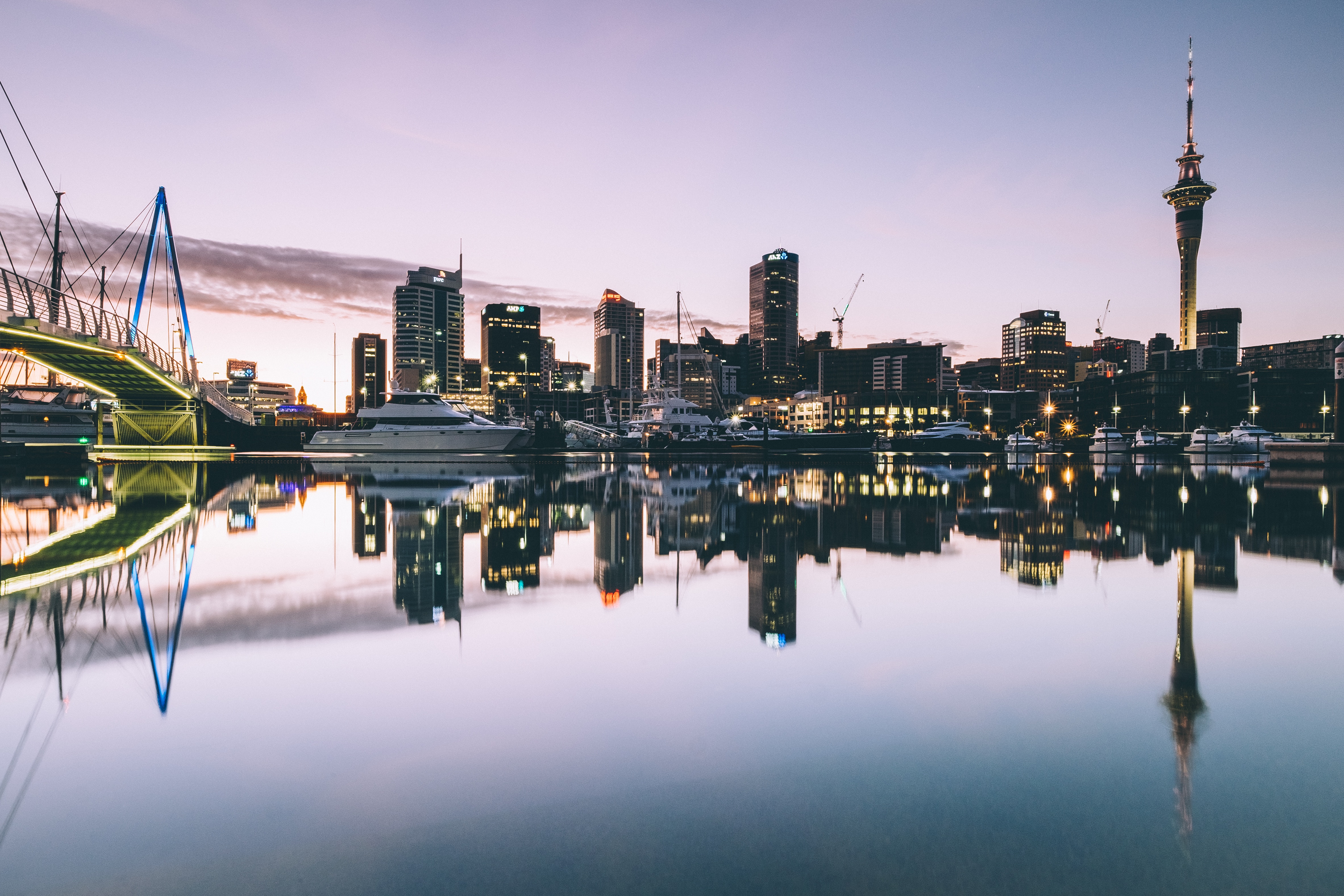
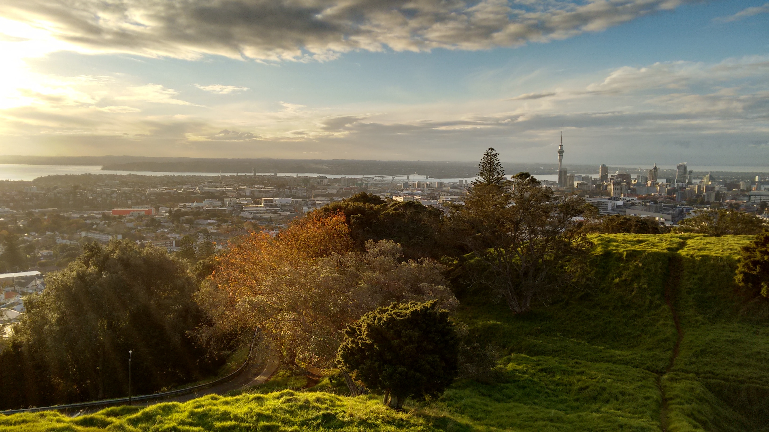
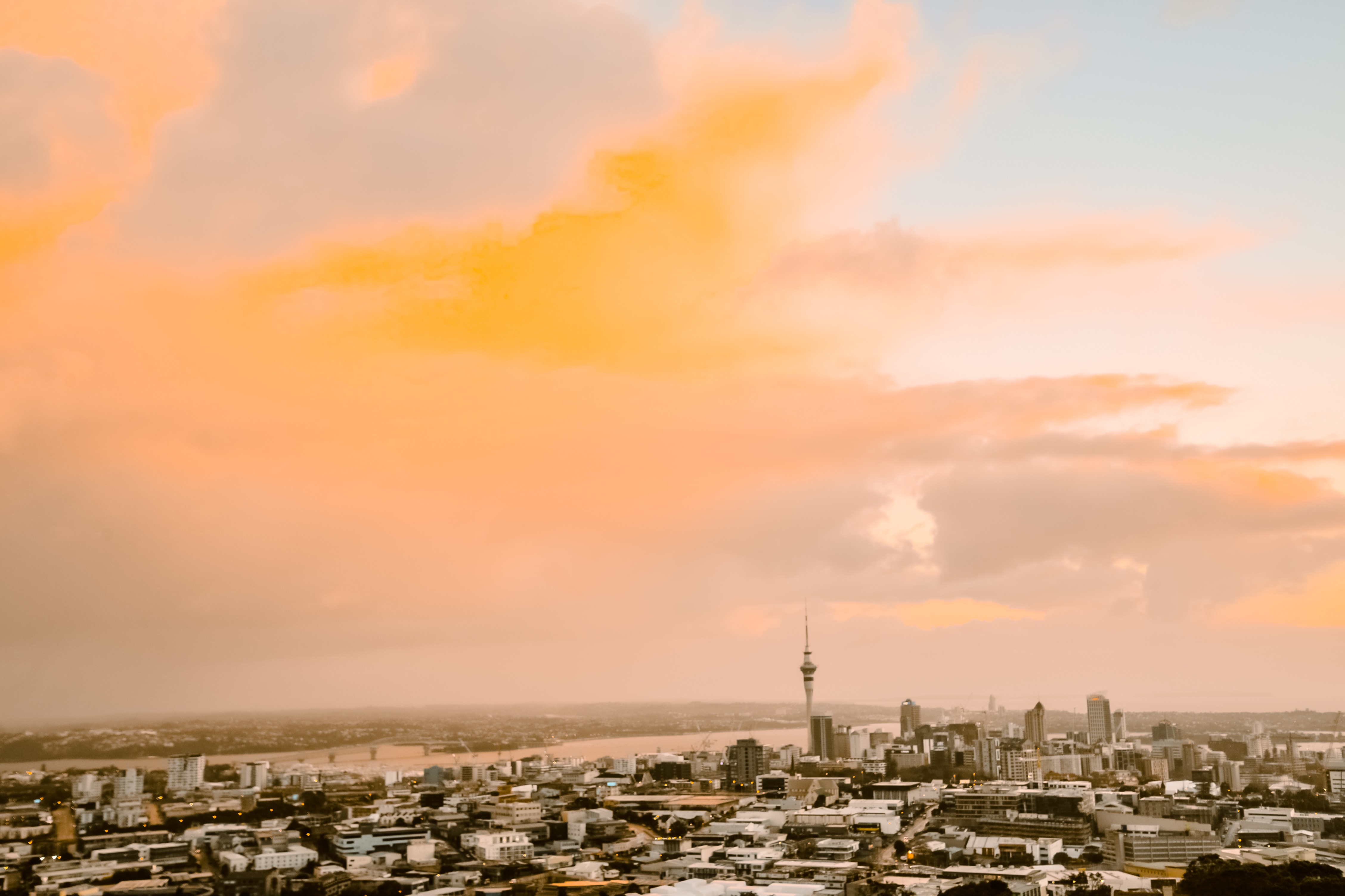
About Auckland
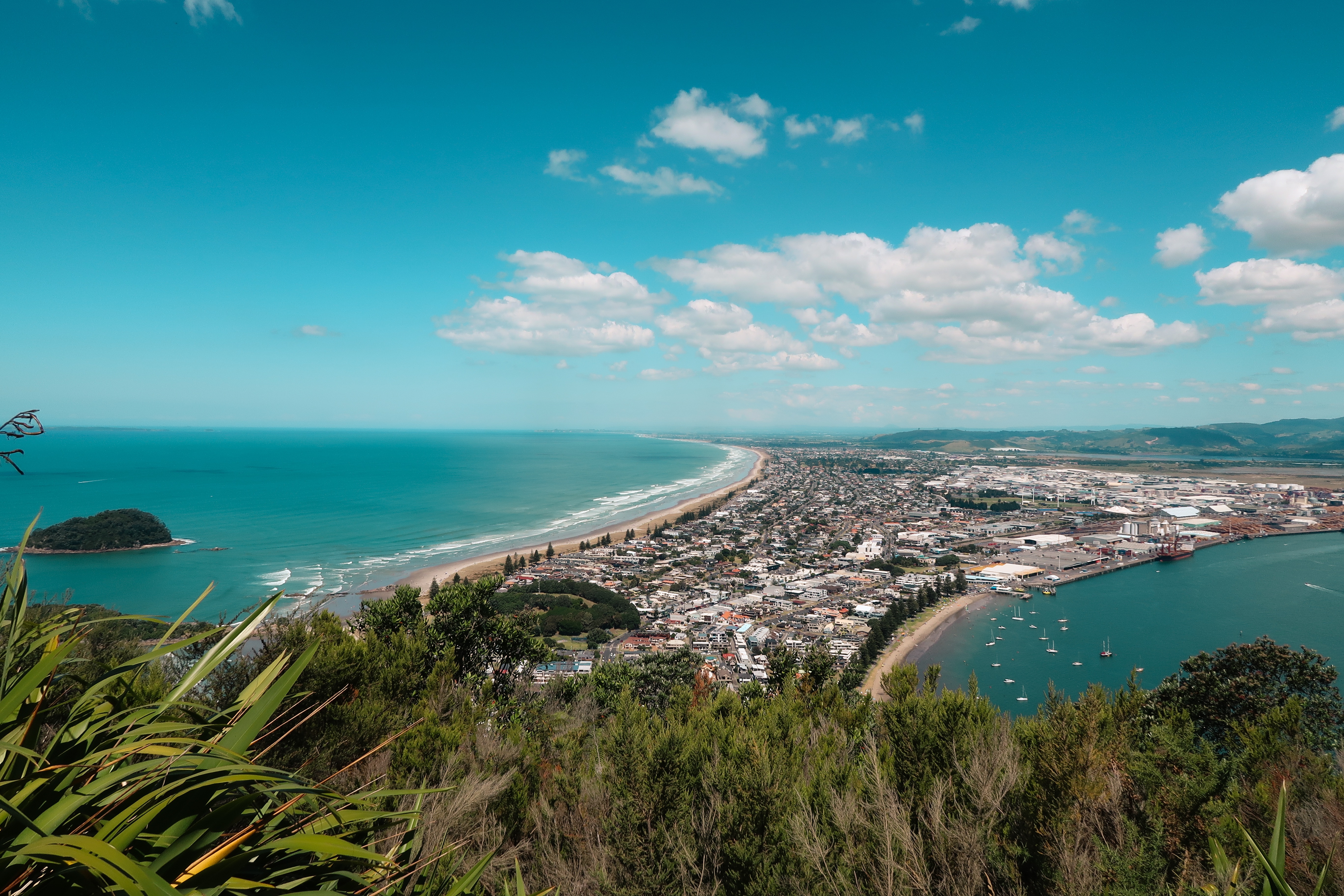
About Tauranga
The population center of the Bay of Plenty, Tauranga is one of New Zealand's fastest-growing cities. Along with its neighbor, Whakatane, this seaside city claims to be one of the country's sunniest towns. Unlike most local towns, Tauranga doesn't grind to a halt in the off-season, because it has one of the busiest ports in the country, and the excellent waves at the neighboring beach resort of Mount Maunganui—just across Tauranga's harbor bridge—always draw surfers and holiday folk.
About Napier
The earthquake that struck Napier at 10:46 am on February 3, 1931, was—at 7.8 on the Richter scale—the largest quake ever recorded in New Zealand. The coastline was wrenched upward several feet. Almost all the town's brick buildings collapsed; many people were killed on the footpaths as they rushed outside. The quake triggered fires throughout town, and with water mains shattered, little could be done to stop the blazes that devoured the remaining wooden structures. Only a few buildings survived (the Public Service Building with its neoclassical pillars is one), and the death toll was well over 100.The surviving townspeople set up tents and cookhouses in Nelson Park, and then tackled the city's reconstruction at a remarkable pace. In the rush to rebuild, Napier went mad for art deco, the bold, geometric style that had burst on the global design scene in 1925. Now a walk through the art deco district, concentrated between Emerson, Herschell, Dalton, and Browning streets, is a stylistic immersion. The decorative elements are often above the ground floors, so keep your eyes up.
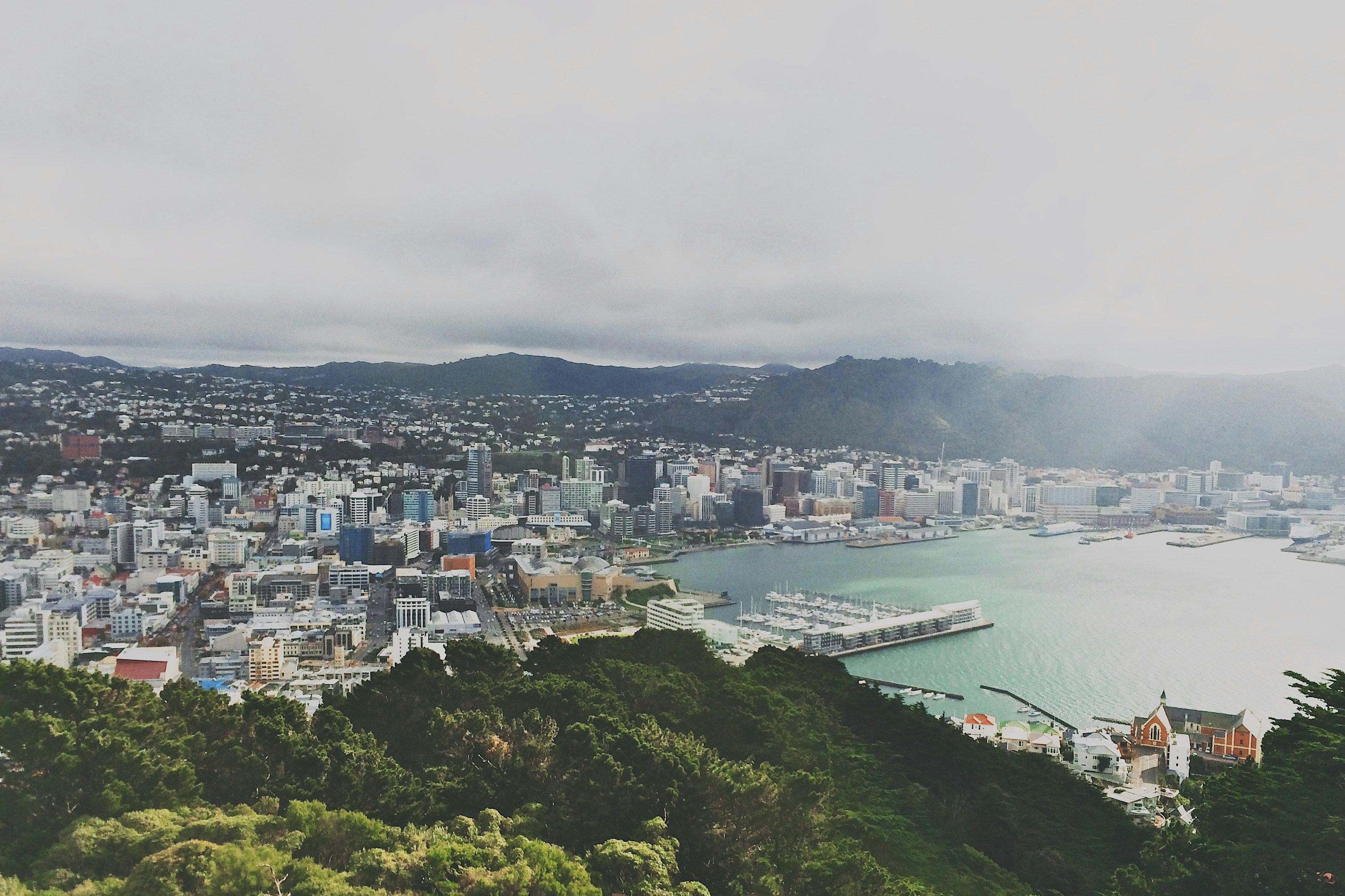
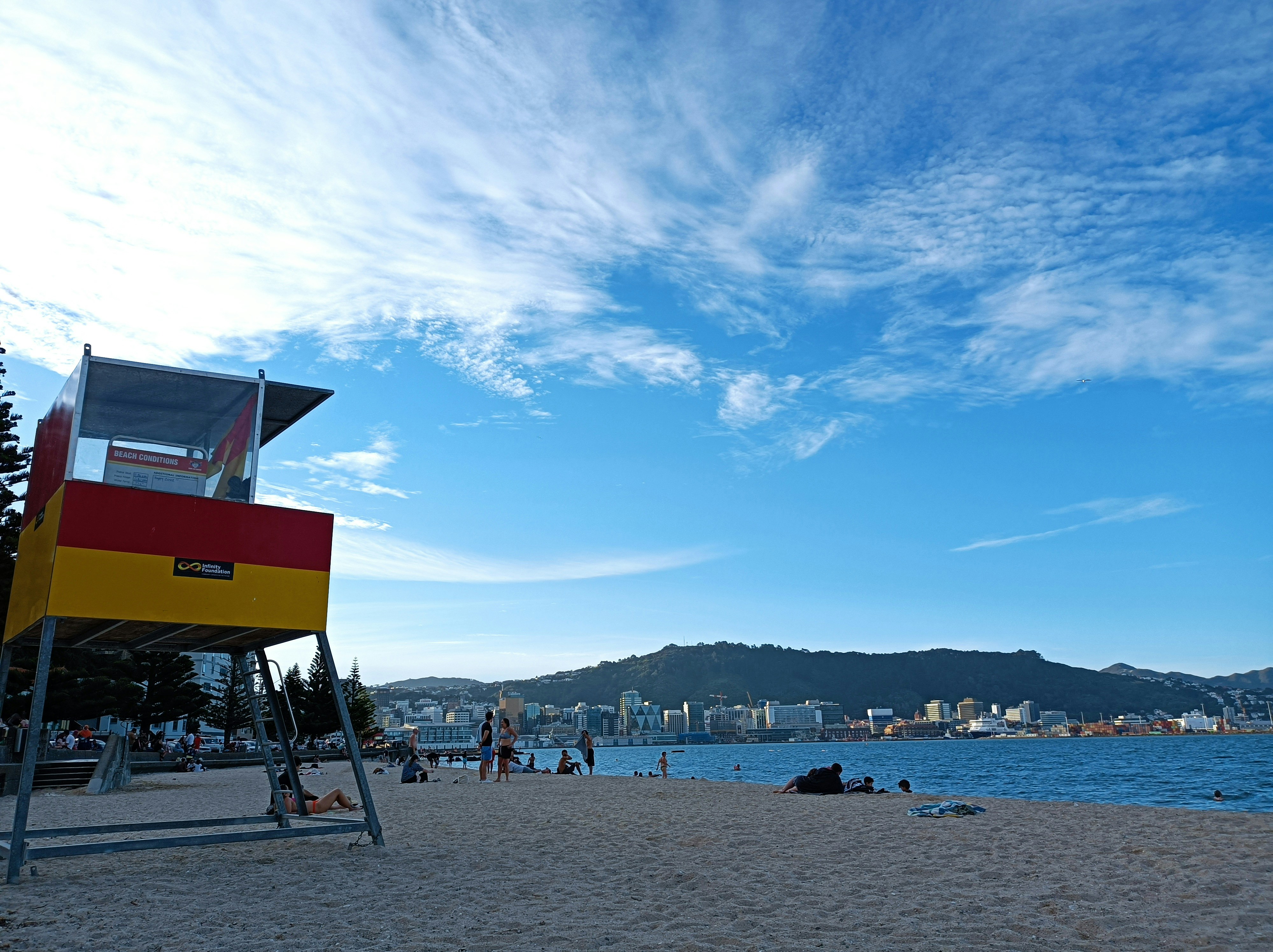
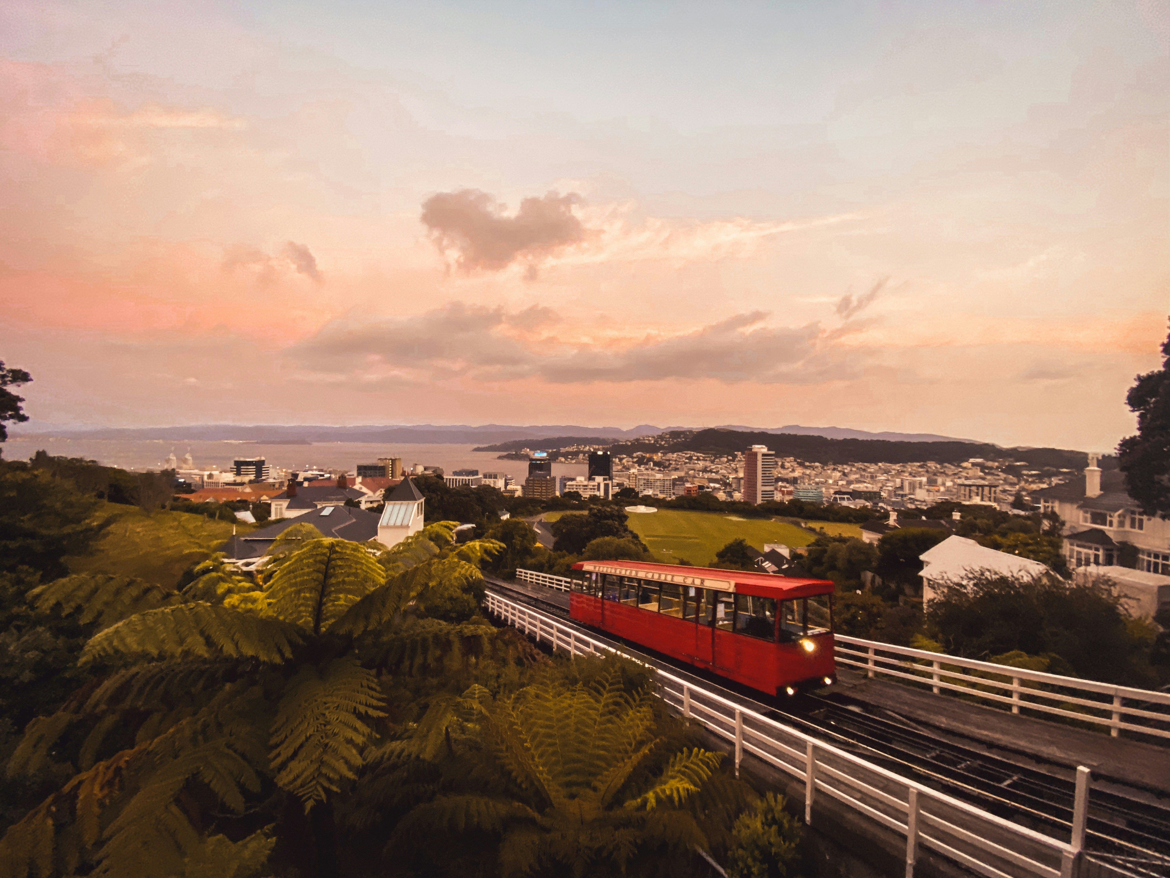
About Wellington
New Zealand's capital is, arguably, the country's most cosmopolitan metropolis. It's world-class Te Papa Tongarewa-Museum of New Zealand is a don't-miss attraction, and the burgeoning film industry led, of course, by the Lord of the Rings extravaganzas has injected new life into the local arts scene. Attractive and compact enough to be explored easily on foot, Wellington is a booming destination. Modern high-rise buildings gaze over Port Nicholson, surely one of the finest natural anchorages in the world. Known to local Māori as The Great Harbor of Tara, its two massive arms form the jaws of the fish of Maui from Māori legend. Sometimes referred to as the windy city, Wellington has been the seat of New Zealand's government since 1865.


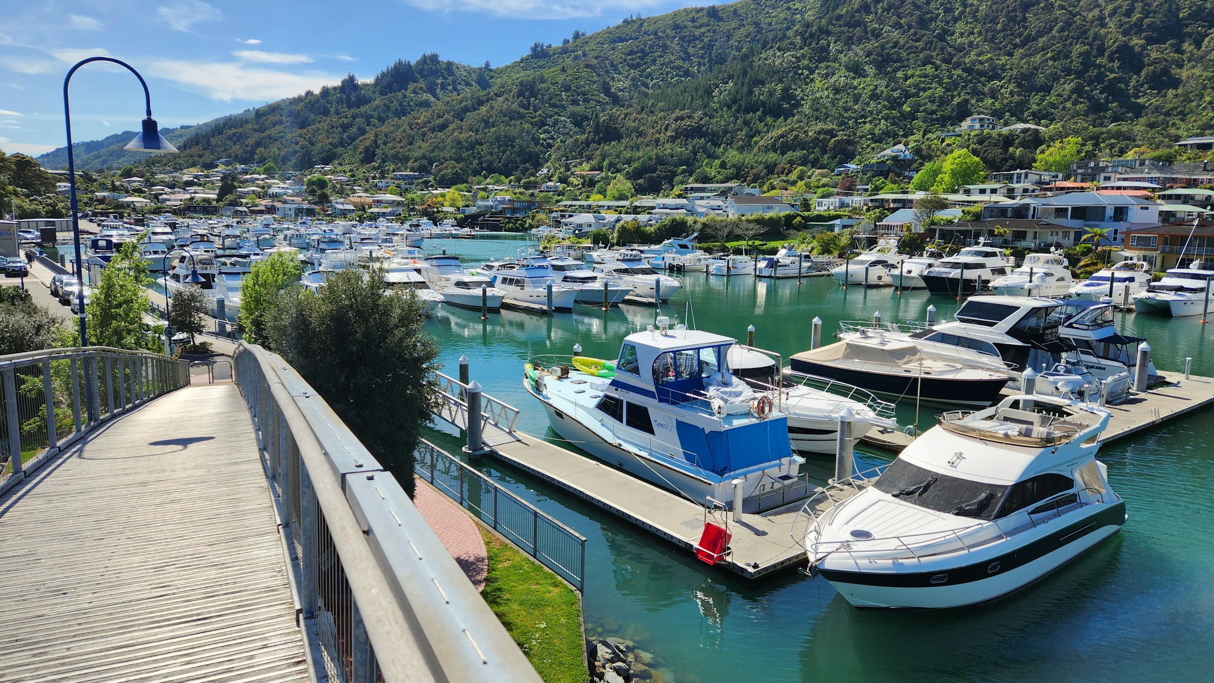
About Picton
The maritime township of Picton (population 4,000) lies at the head of Queen Charlotte Sound and is the arrival point for ferries from the North Island, as well as a growing number of international cruise ships. It plays a major role in providing services and transport by water taxi to a multitude of remote communities in the vast area of islands, peninsulas, and waterways that make up the Marlborough Sounds Maritime Park. There's plenty to do in town, with crafts markets in summer, historical sights to see, and walking tracks to scenic lookouts over the sounds. The main foreshore is lined by London Quay, which looks up Queen Charlotte Sound to the bays beyond. High Street runs down to London Quay from the hills, and between them these two streets make up the center of town.
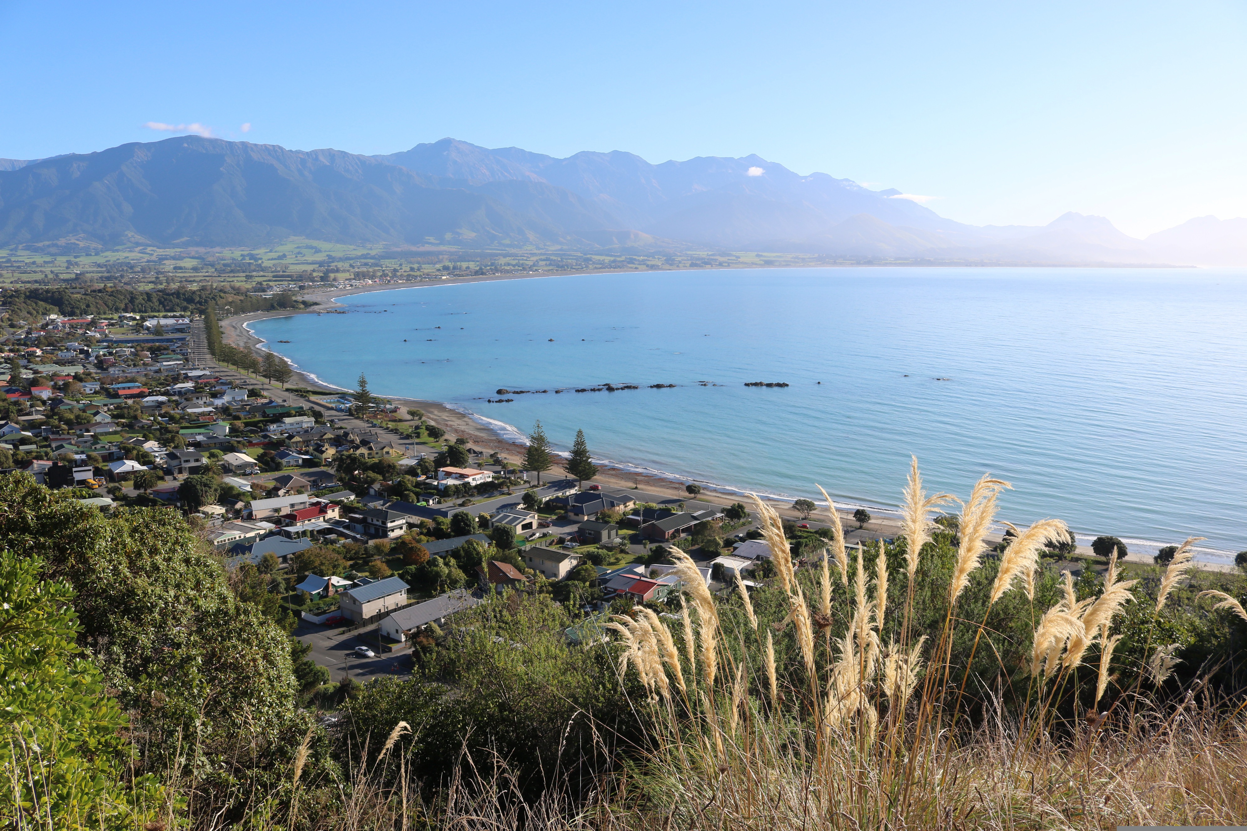
About Kaikoura
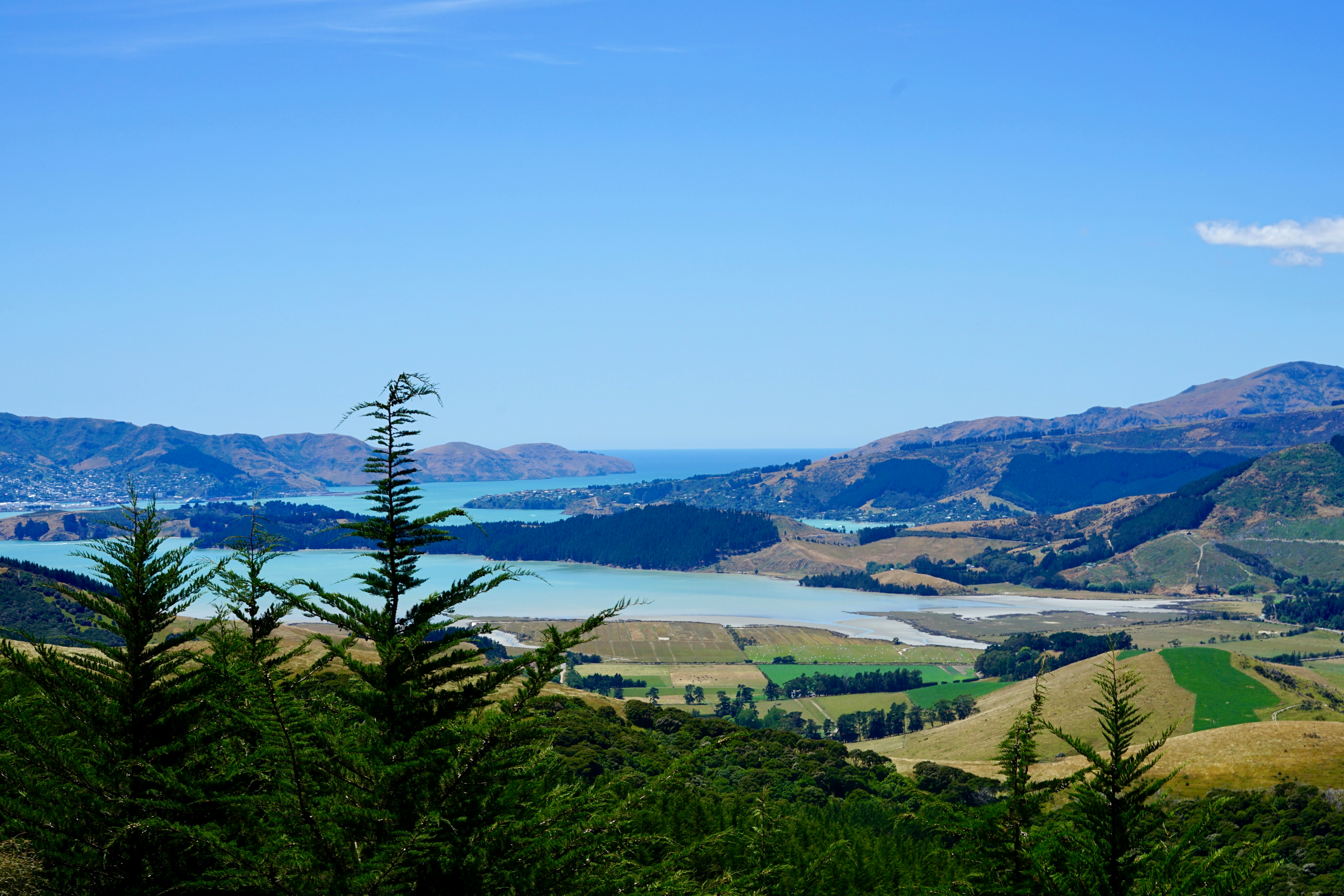
About Christchurch
Christchurch is one of New Zealand’s most English cities. The Anglisation of the area is quickly evident throughout. The name Christchurch, is named after one of the most famous Oxford Colleges. Traditional English styled punts can be seen drifting lazily along the Avon River, and customary striped blazers are still worn by students at Christ’s College.
About Timaru
Situated almost equidistant between Christchurch and Dunedin, Timaru has oft been overlooked by those just needing to get from one city to another but more fool them! The town’s name comes from the Māori name Te Maru, meaning ‘place of shelter’ and the pretty town reveals not only stunning Middle Earth landscape and views to write home about, but an intact Victorian / Edwardian shopping precinct with many of the building being built in local volcanic bluestone. Understandably, beach life is very important here and the long ribbons of white sandy beaches and clean seas are perfect for a swimming, sunning and spoiling yourself! Voted one of New Zealand’s top 10 most loved beaches, Caroline Bay is simply a treasure. Built on the rolling hills created from the lava flows of the extinct Mt Horrible volcano, Timaru is a melting pot of culture, history, adventure and dramatic scenery. Art lovers too will not be left wanting as the city’s art gallery holds the third largest public art collection in the South Island. Walking enthusiasts will not want to miss one of the many walks along the coast or rivers that vary from short paved paths – ideal for pushchairs and wheelchairs to longer, more strenuous hikes. Well signposted and maintained, these tracks are especially beautiful in the autumn when the leaves are turning colour. And do not forget to be on the lookout for penguins, which will happily waddle alongside you some of the way!

About Port Chalmers
European whaling ships first called at Otago Province during the early decades of the 1800s, yielding a mixed response from the native Māori. In 1848 Dunedin was settled, and by the mid-1860s the city was the economic hub of the Otago gold rush. Dunedin's historical wealth endures in such institutions as the University of Otago, the oldest in the country. But if any region can bring out the bird-watcher in you, this is it; the area is home to the Royal Albatross and yellow-eyed penguins.
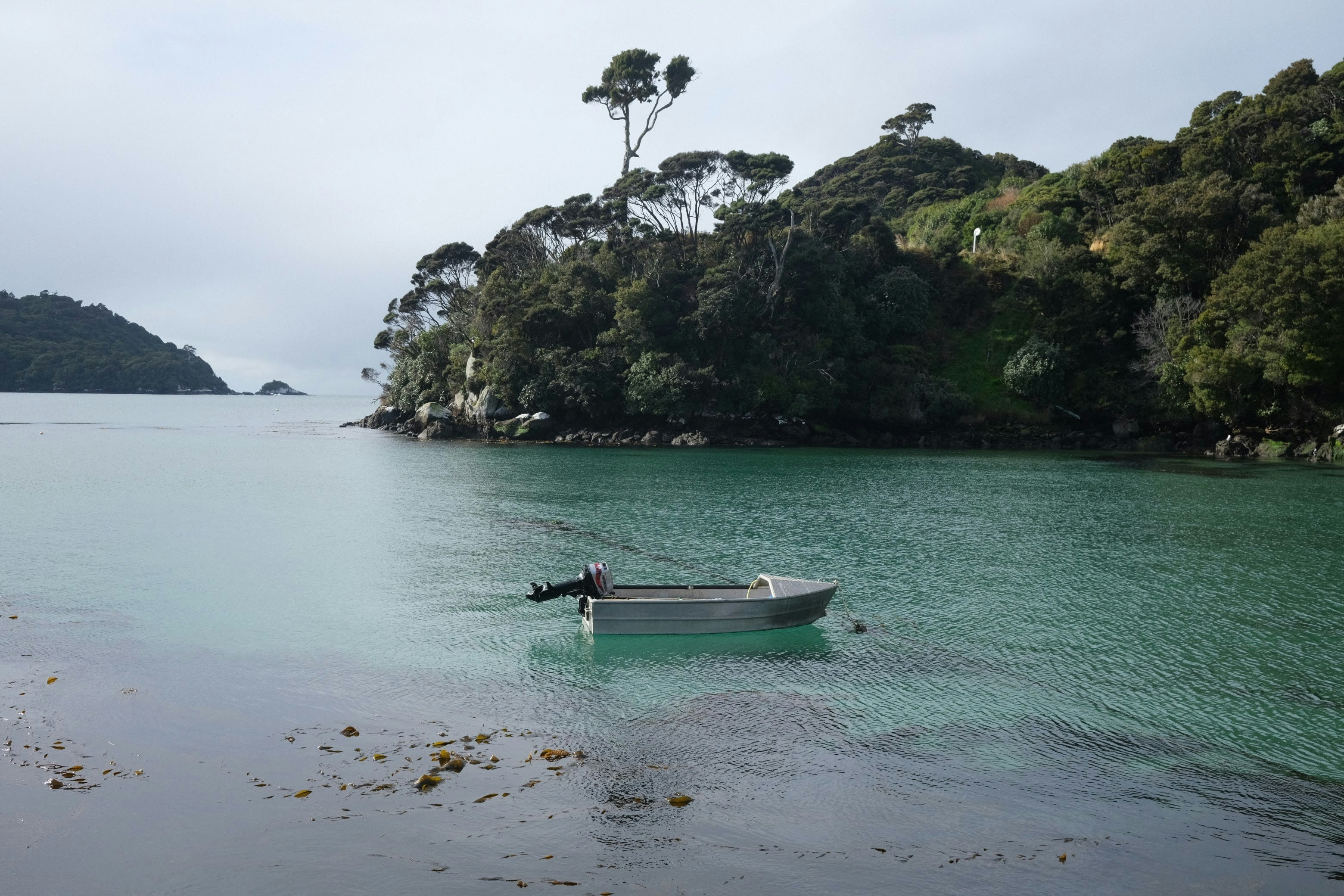
About Oban, Stewart Island
Stewart Island is home to New Zealand's newest national park, Rakiura National Park. The third and most southerly of New Zealand's main islands, Stewart Island is separated from the South Island by the 24-km (15-miles) Foveaux Strait. Its original Māori name, Te Punga O Te Waka a Maui, means "the anchor stone of Maui's canoe." Māori mythology says the island's landmass held the god Maui's canoe secure while he and his crew raised the great fish—the North Island. Today the island is more commonly referred to by its other Māori name, Rakiura, which means "the land of the glowing skies." This refers to the spectacular sunrises and sunsets and to the southern lights, or aurora australis. The European name of Stewart Island dates back to 1809. It memorializes an officer William W. Stewart on an early sealing vessel, the Pegasus, who was the first to chart the island. The island covers some 1,700 square km (650 square miles). It measures about 75 km (46 miles) from north to south and about the same distance across at its widest point. On the coastline, sharp cliffs rise from a succession of sheltered bays and beaches. In the interior, forested hills rise gradually toward the west side of the island. Seals and penguins frequent the coast, and the island's prolific birdlife includes a number of species rarely seen in any other part of the country. In fact, this is the surest place to see a kiwi. The Stewart Island brown kiwi, or tokoeka, is the largest species of this kind of bird. Unlike their mainland cousins, these kiwis can be seen during the day as well as at night. It's a rare and amusing experience to watch these pear-shape birds scampering on a remote beach as they feed on sand hoppers and grubs. Māori have visited Stewart Island for centuries. Archaeologists' studies of 13th-century Māori middens (refuse heaps) indicate that the island was once a rich, seasonal resource for hunting, fishing, and gathering seafood. A commonly eaten delicacy at that time, the titi, also known as the muttonbird, still occasionally appears on menus. In the early 19th century, explorers, sealers, missionaries, and miners settled the island. They were followed by fishermen and sawmillers who established settlements around the edges of Paterson Inlet and Halfmoon and Horseshoe bays. In the 1920s Norwegians set up a whaling enterprise, and many descendants of these seafaring people remain. Fishing, aquaculture, and tourism are now the mainstays of the island's economy. Even by New Zealand standards, Stewart Island is remote, raw, and untouched. The appeal is its seclusion, its relaxed way of life, and its untouched quality. Stewart Island is not for everyone: if you must have shopping malls, casinos, or umbrella drinks on the beach, don't come here. Visitors should be prepared for the fact that Stewart Island can be chilly, windy, and rainy, even in the middle of summer.
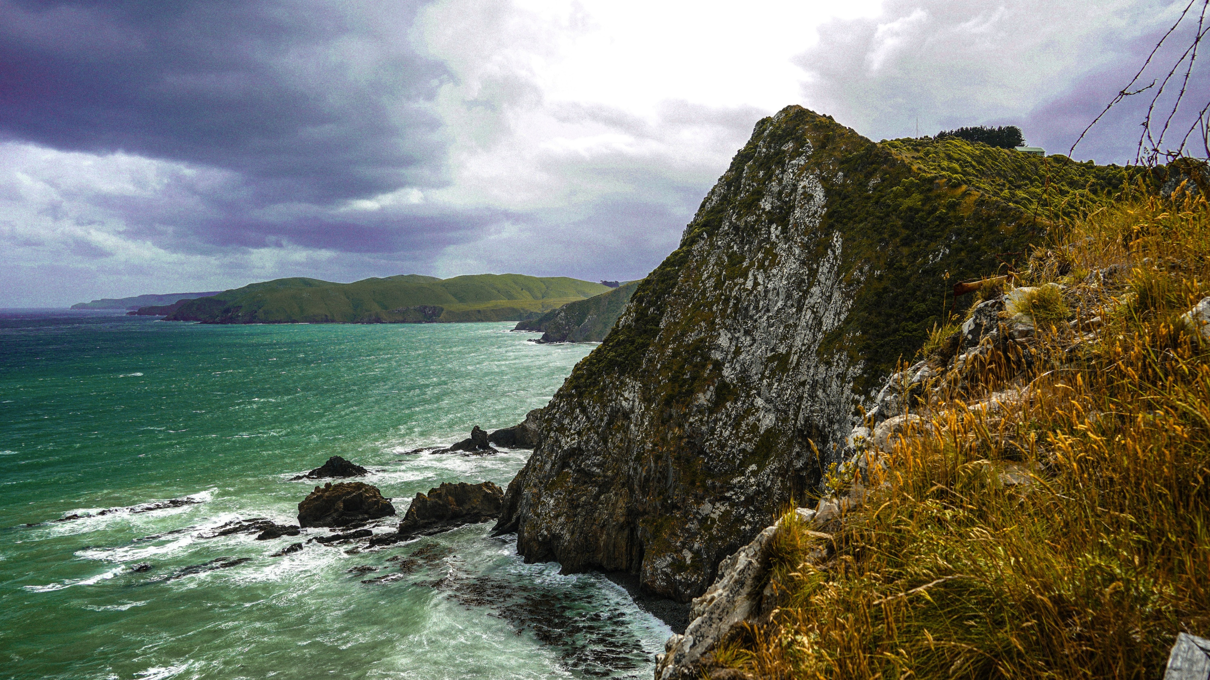
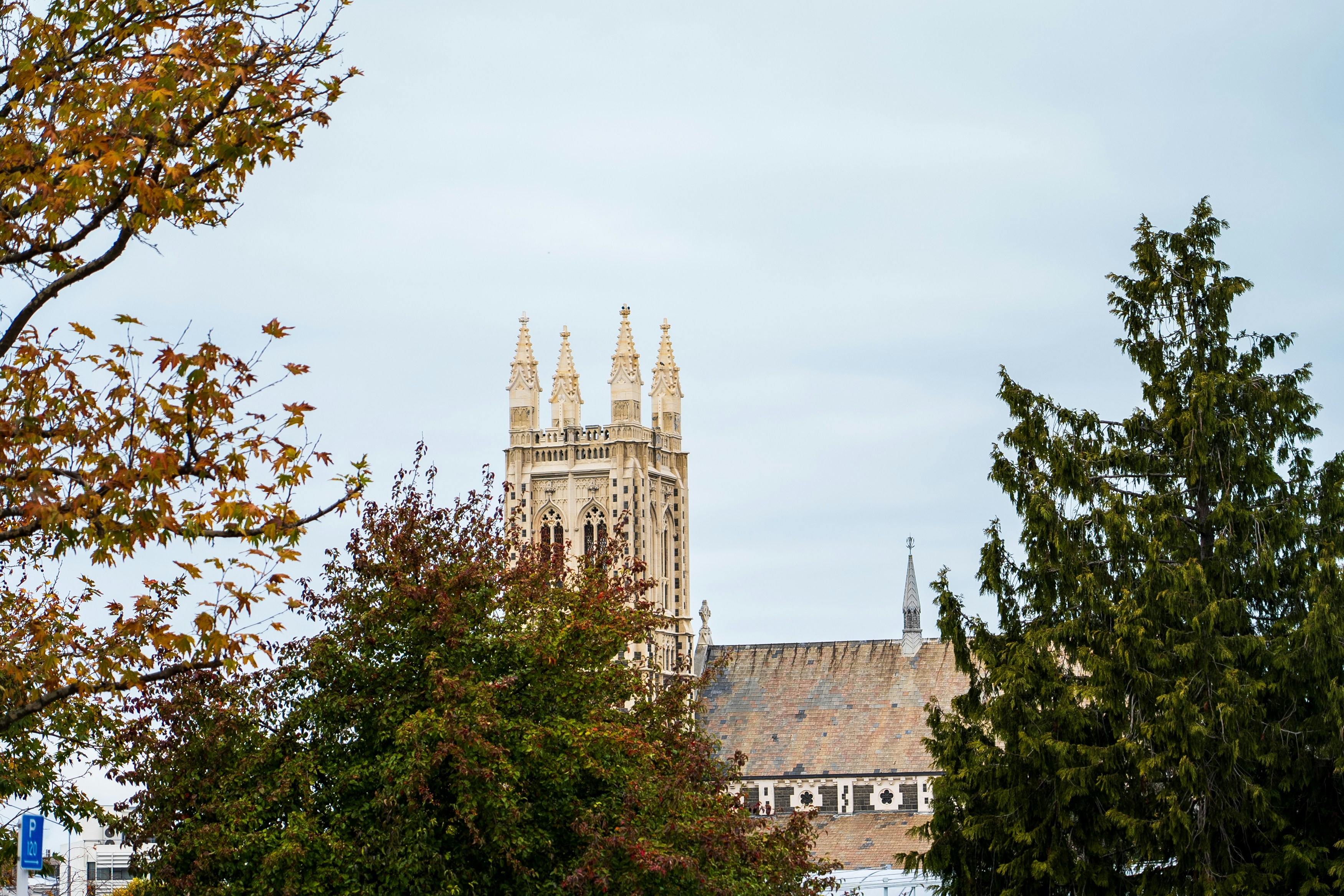
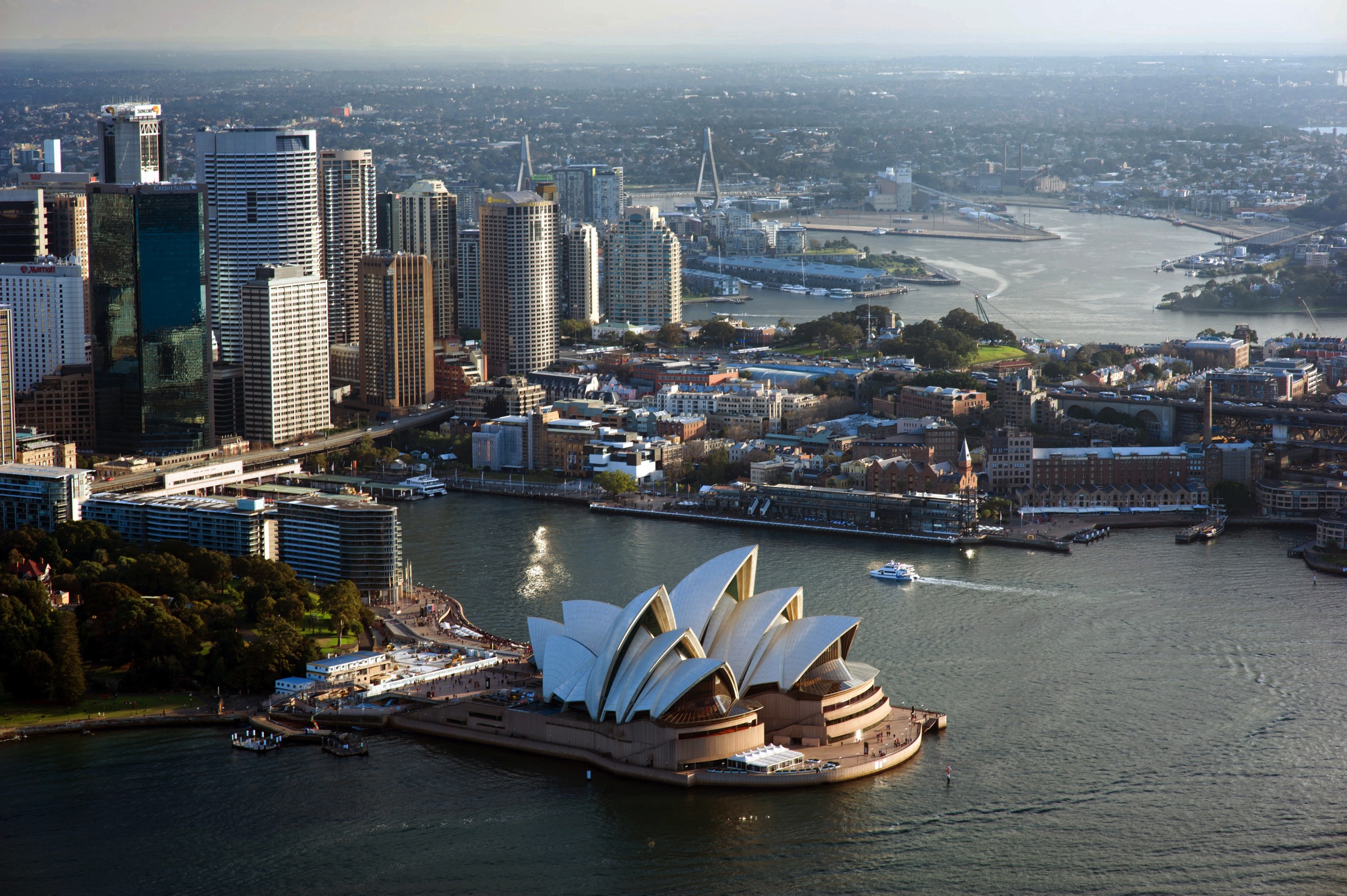
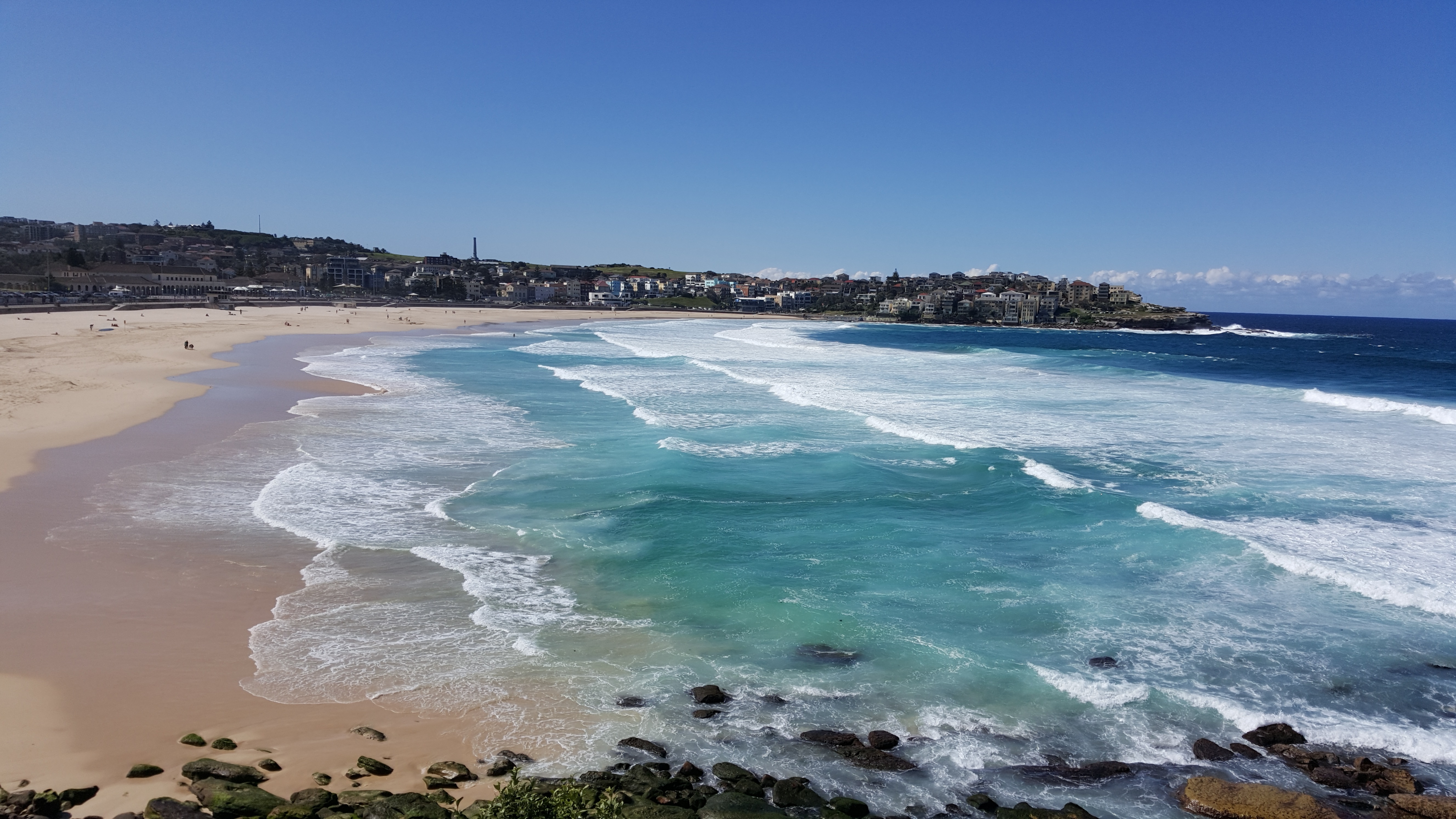
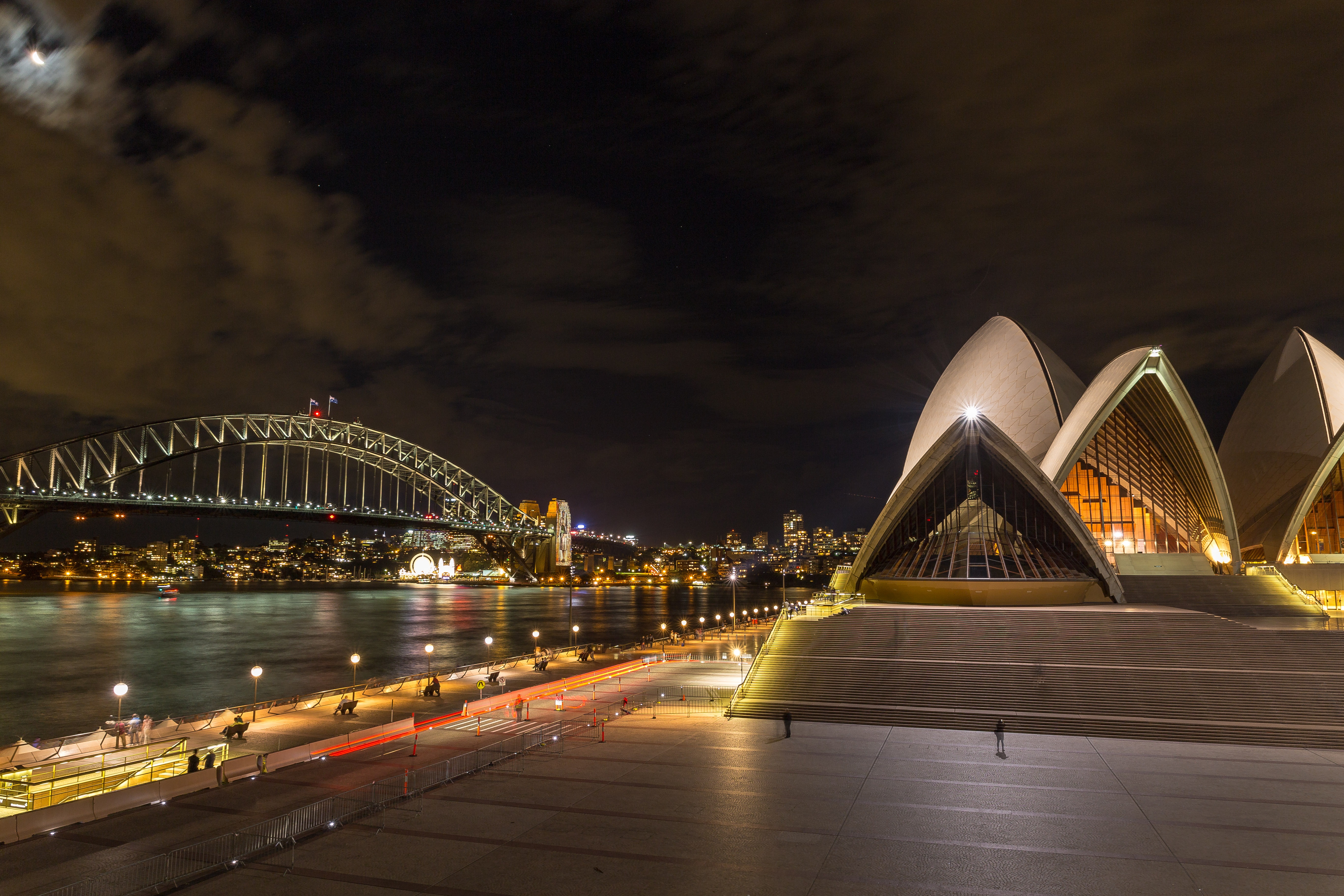
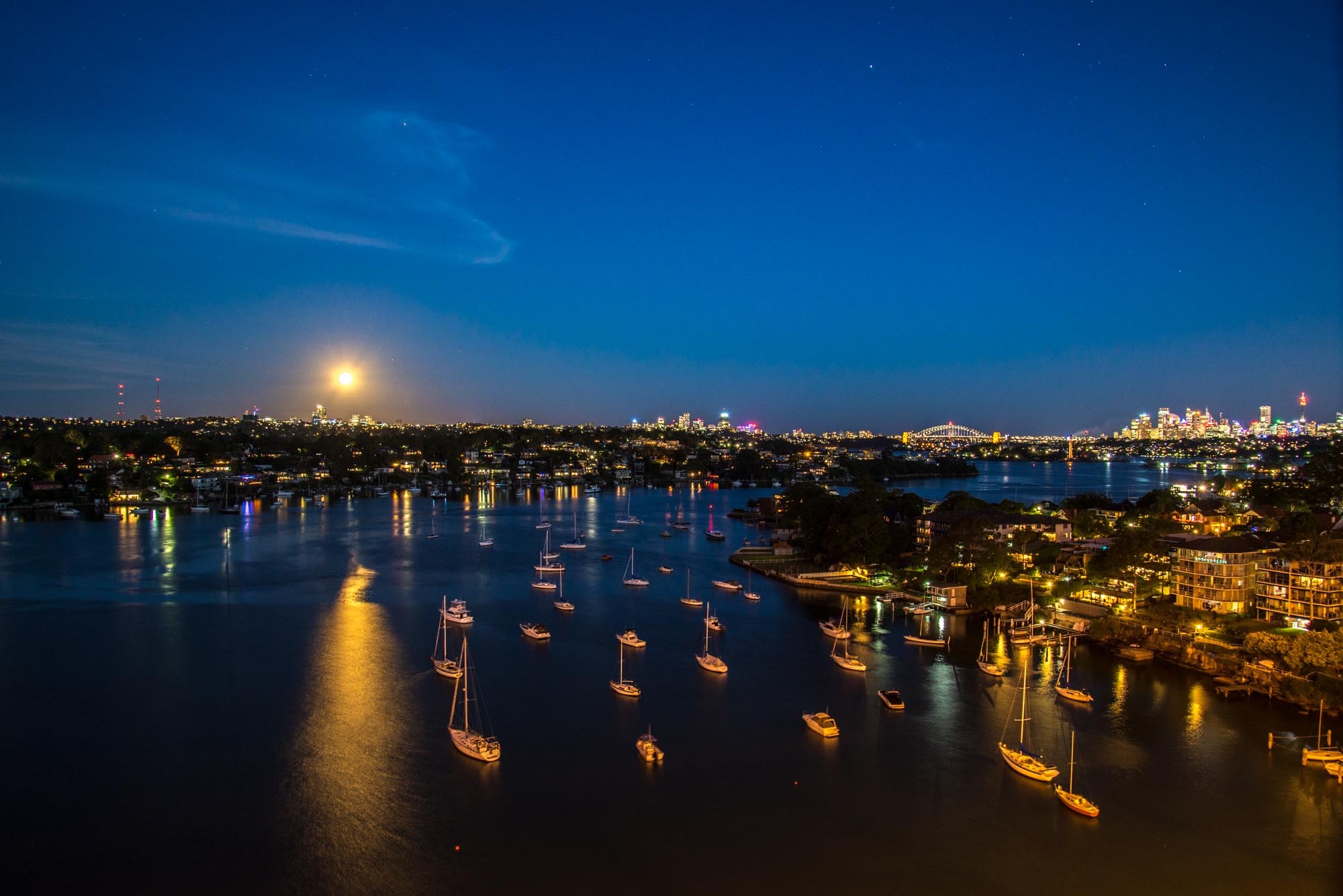
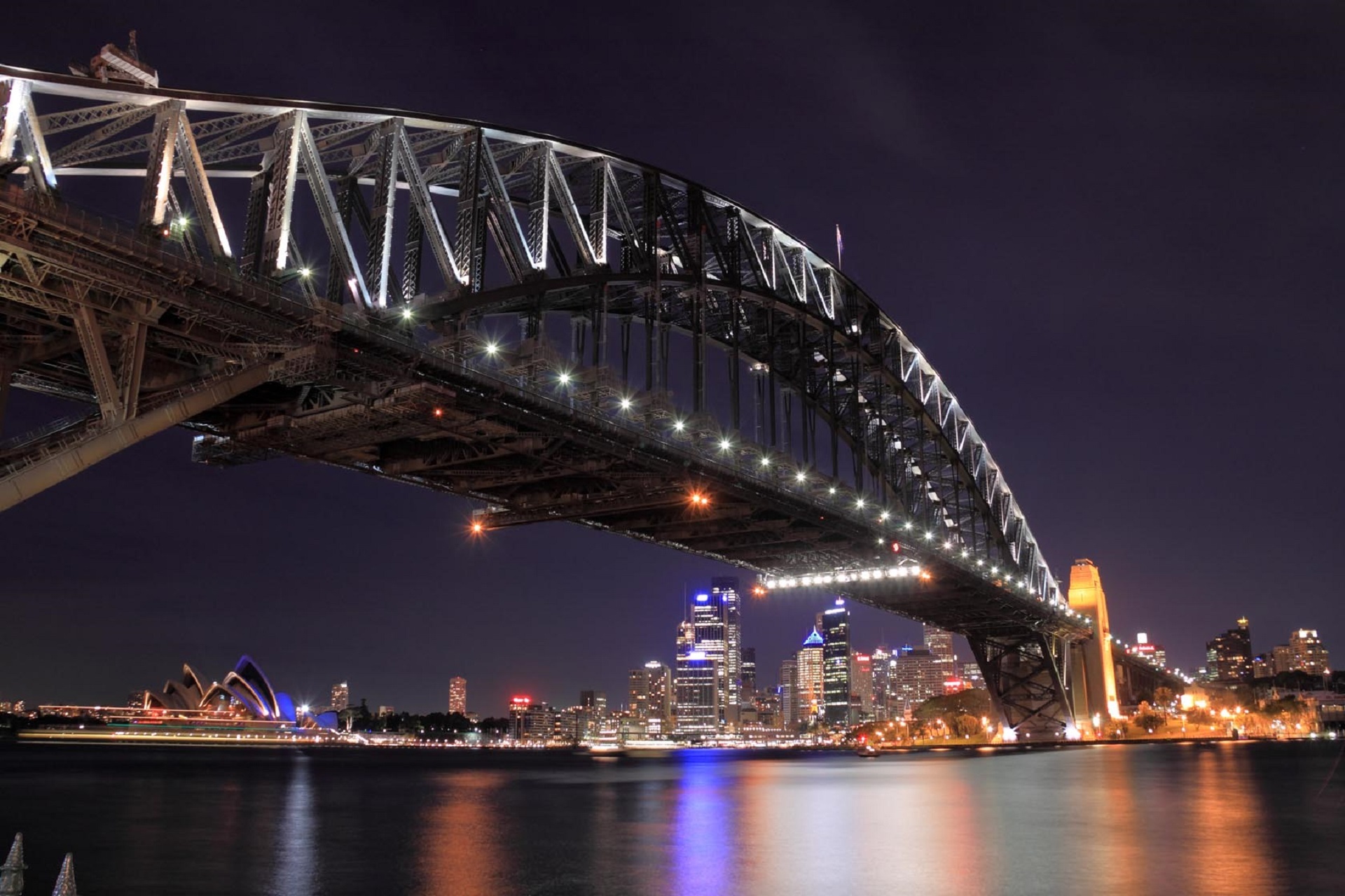
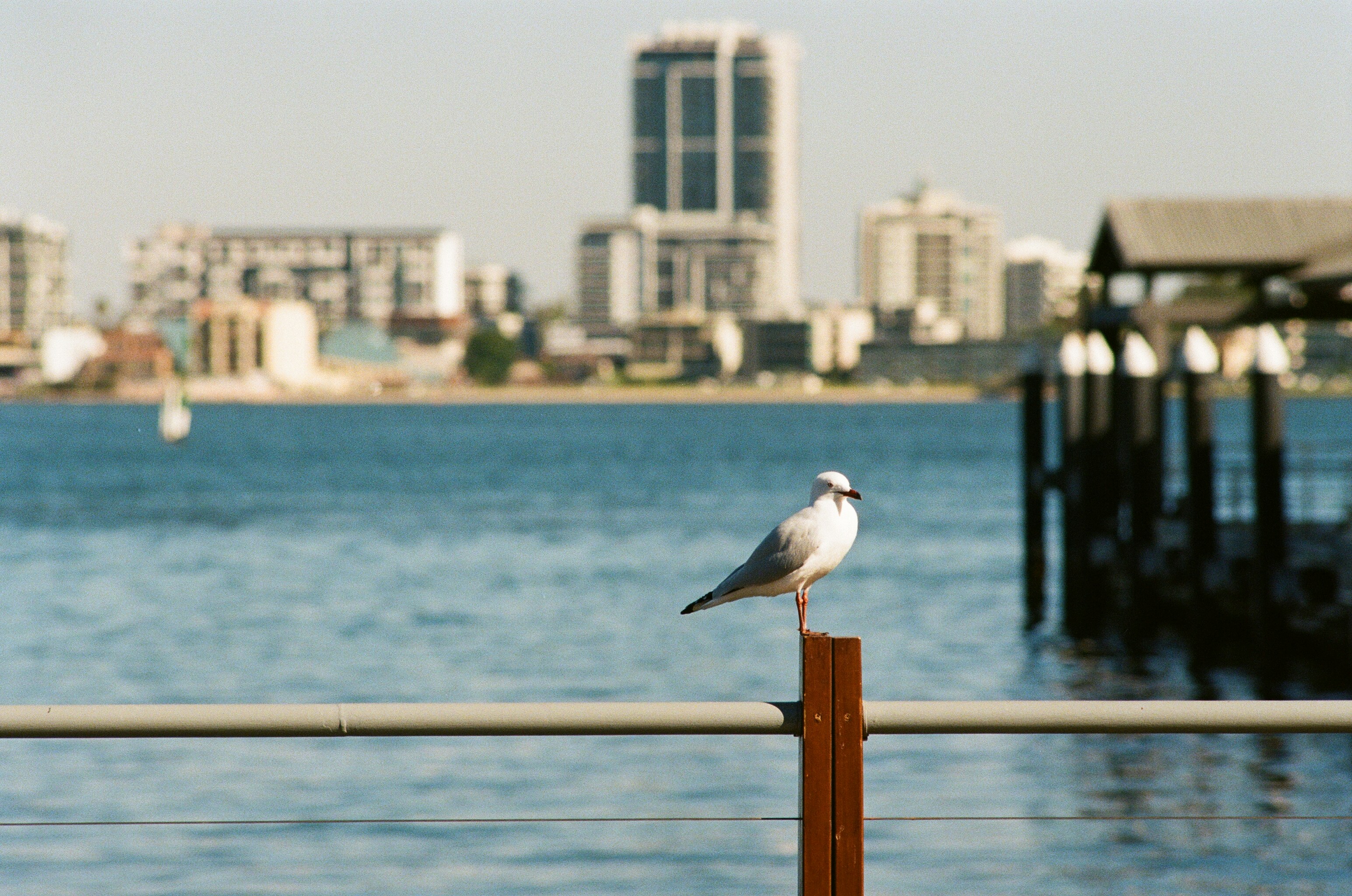
About Sydney, New South Wales
Sydney, capital of New South Wales and one of Australia's largest cities, is best known for its harbourfront Sydney Opera House, with a distinctive sail-like design. Massive Darling Harbour and the smaller Circular Quay port are hubs of waterside life, with the arched Harbour Bridge and esteemed Royal Botanic Garden nearby. Sydney Tower’s outdoor platform, the Skywalk, offers 360-degree views of the city and suburbs.
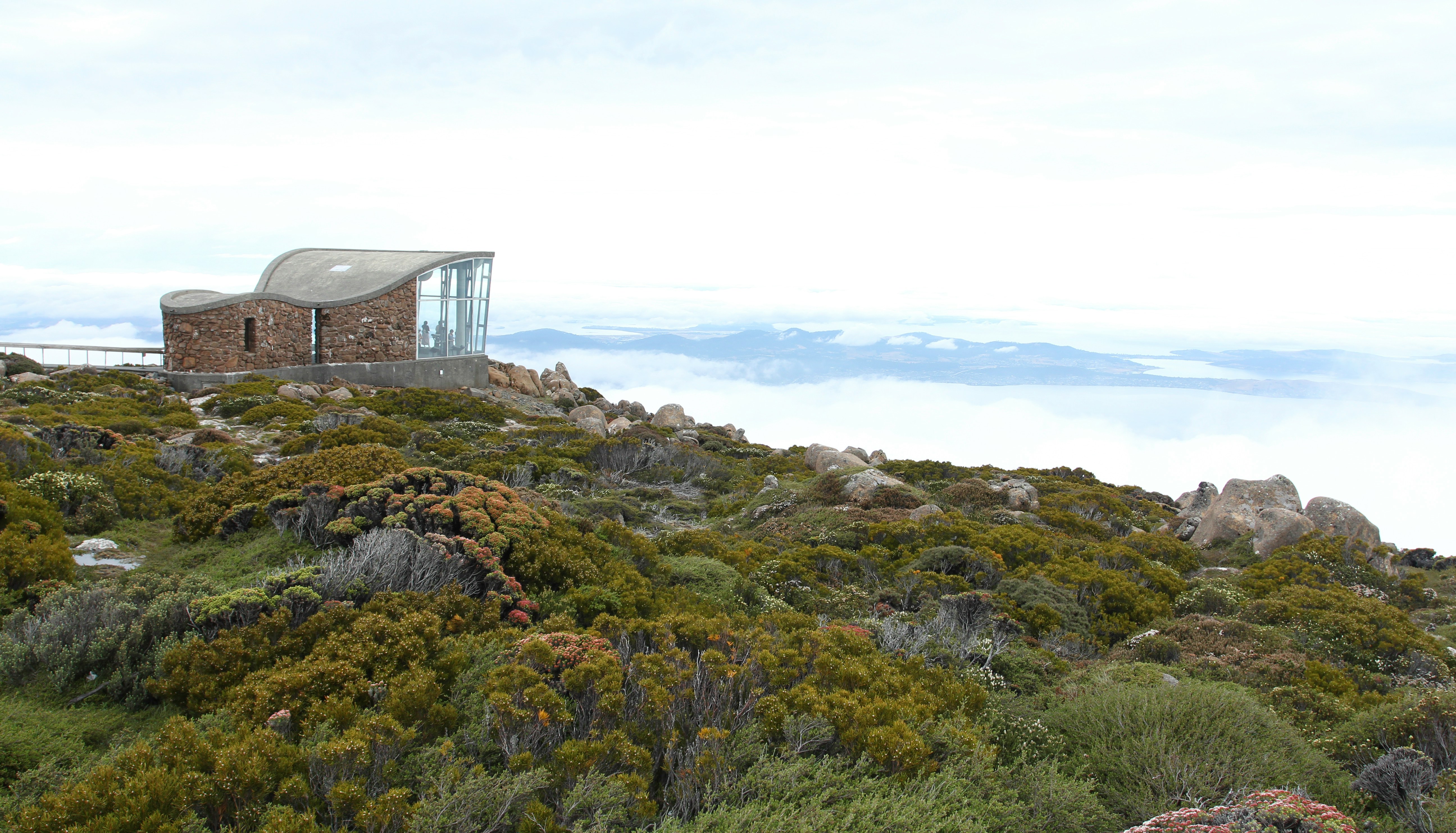
About Hobart, Tasmania
Straddling the Derwent River at the foot of Mt. Wellington's forested slopes, Hobart was founded as a penal settlement in 1803. It's the second-oldest city in the country after Sydney, and it certainly rivals its mainland counterpart as Australia's most beautiful state capital. Close-set colonial brick-and-sandstone shops and homes line the narrow, quiet streets, creating a genteel setting for this historic city of 215,000. Life revolves around the broad Derwent River port, one of the deepest harbors in the world. Here warehouses that once stored Hobart's major exports of fruit, wool, and corn and products from the city's former whaling fleet still stand alongside the wharf today.Hobart sparkles between Christmas and New Year's—summer Down Under—during the annual Sydney-to-Hobart yacht race. The event dominates conversations among Hobart's citizens, who descend on Constitution Dock to welcome the yachts and join in the boisterous festivities of the crews. The New Year also coincides with the Tastes of Tasmania Festival, when the dockside area comes alive with the best of Tasmanian food and wine on offer in numerous cafés, bars, and waterfront stalls. Otherwise, Hobart is a placid city whose nightlife is largely confined to excellent restaurants, jazz clubs, and the action at the Wrest Point Casino in Sandy Bay.The Hobart Tasmanian Travel and Information Centre hours are weekdays 8:30–5:30 and Saturday 9–5.
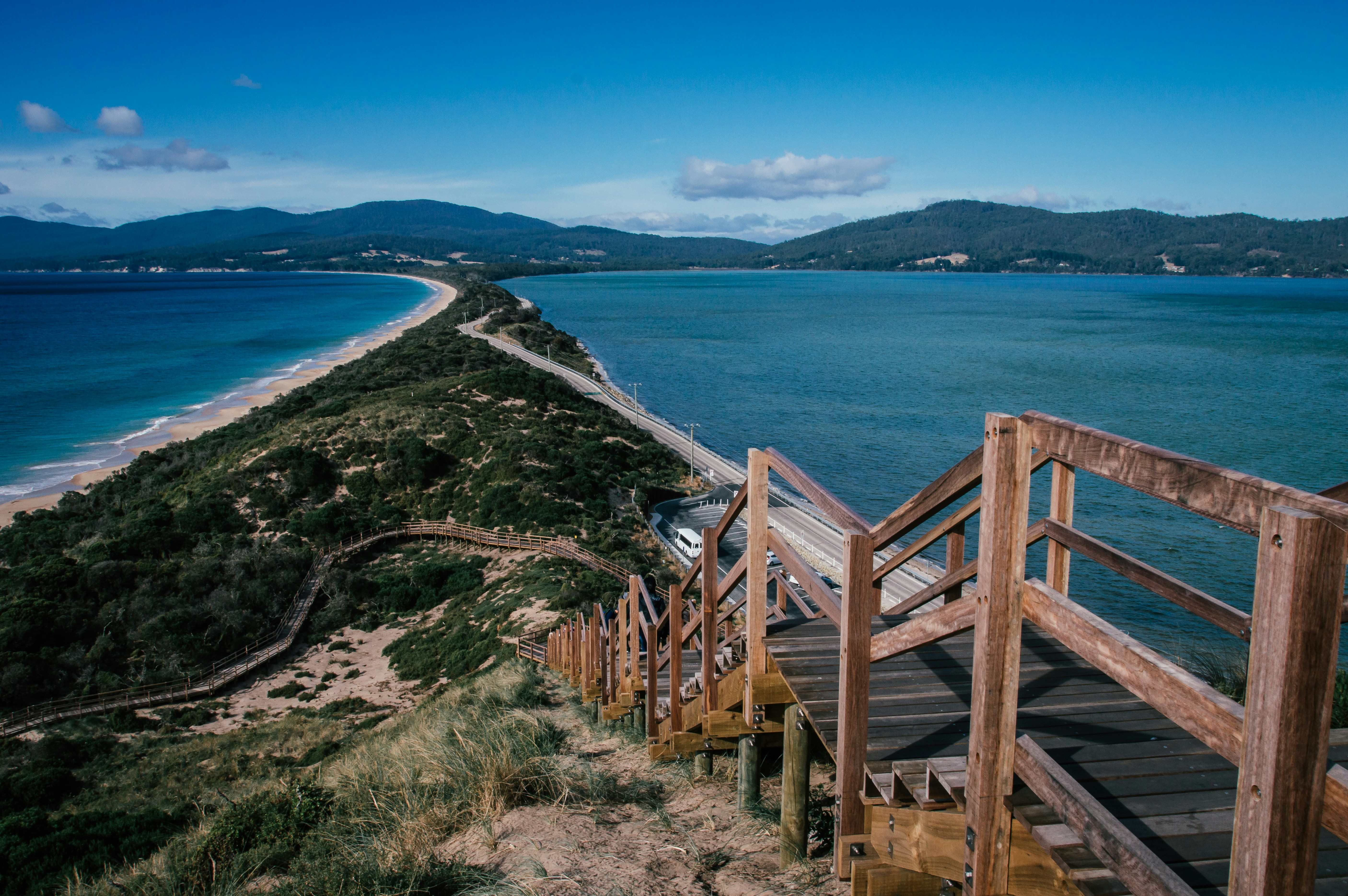
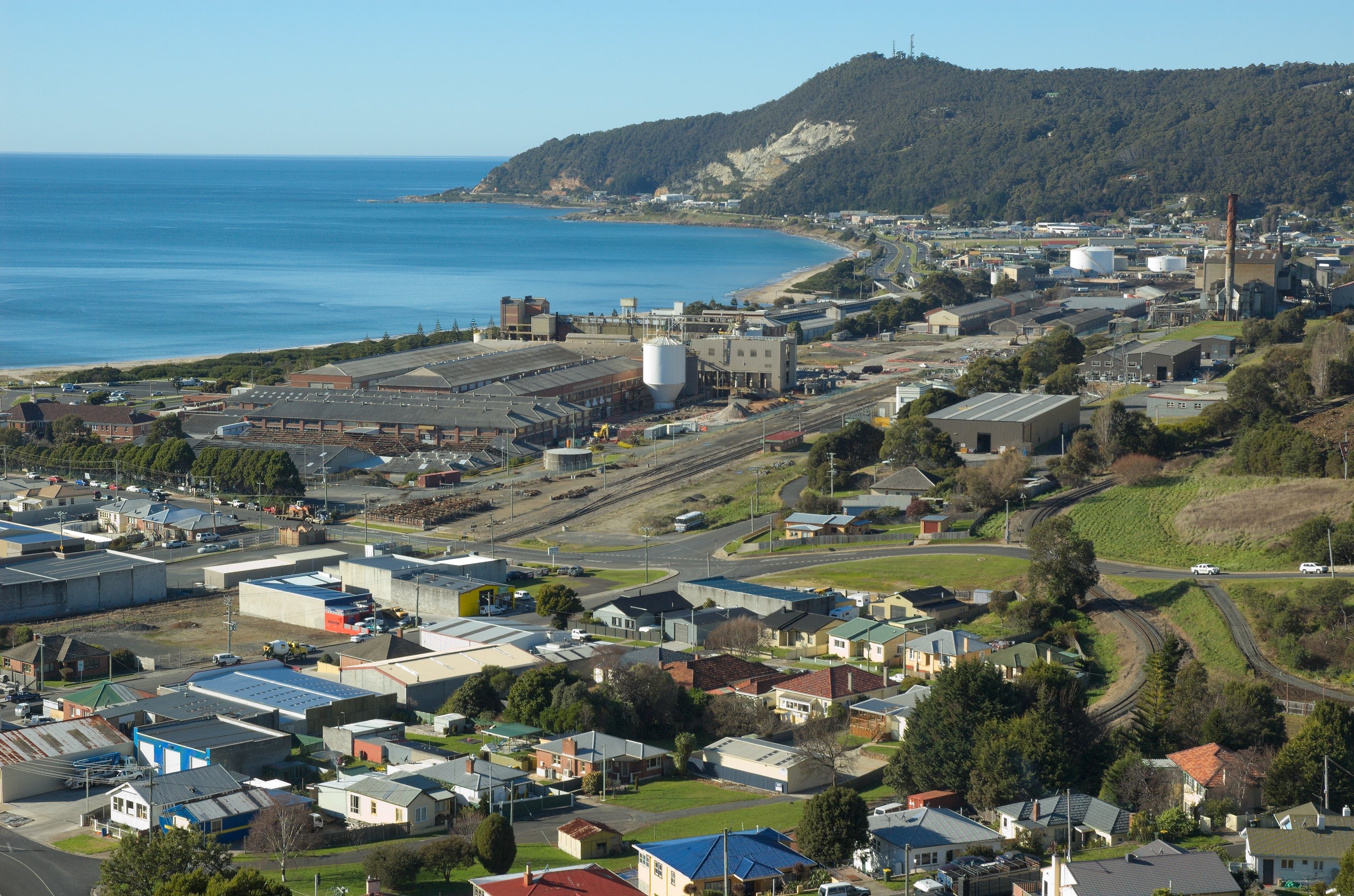
About Burnie, Tasmania
Burnie overlooks Emu Bay, on the north-west coast. This proudly industrial city is Australia’s fifth largest container port and a vibrant place to visit. Burnie was once surrounded by dense rainforest, but this has slowly disappeared, while fortunes were made felling and milling timber. The paper and pulp mill on the city’s outskirts operated from 1938 to 1998. Burnie was first explored by Bass and Flinders and was known as Emu Bay when it was settled by the Van Diemen’s Land Company in 1827. Today, Burnie has a population of almost 19,000. Burnie experiences temperate conditions, with an average maximum of 70 degrees Fahrenheit (21 degrees Celsius) in January and 56.5 degrees Fahrenheit (13.5) degrees Celsius in June.
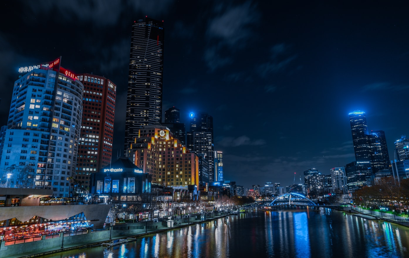
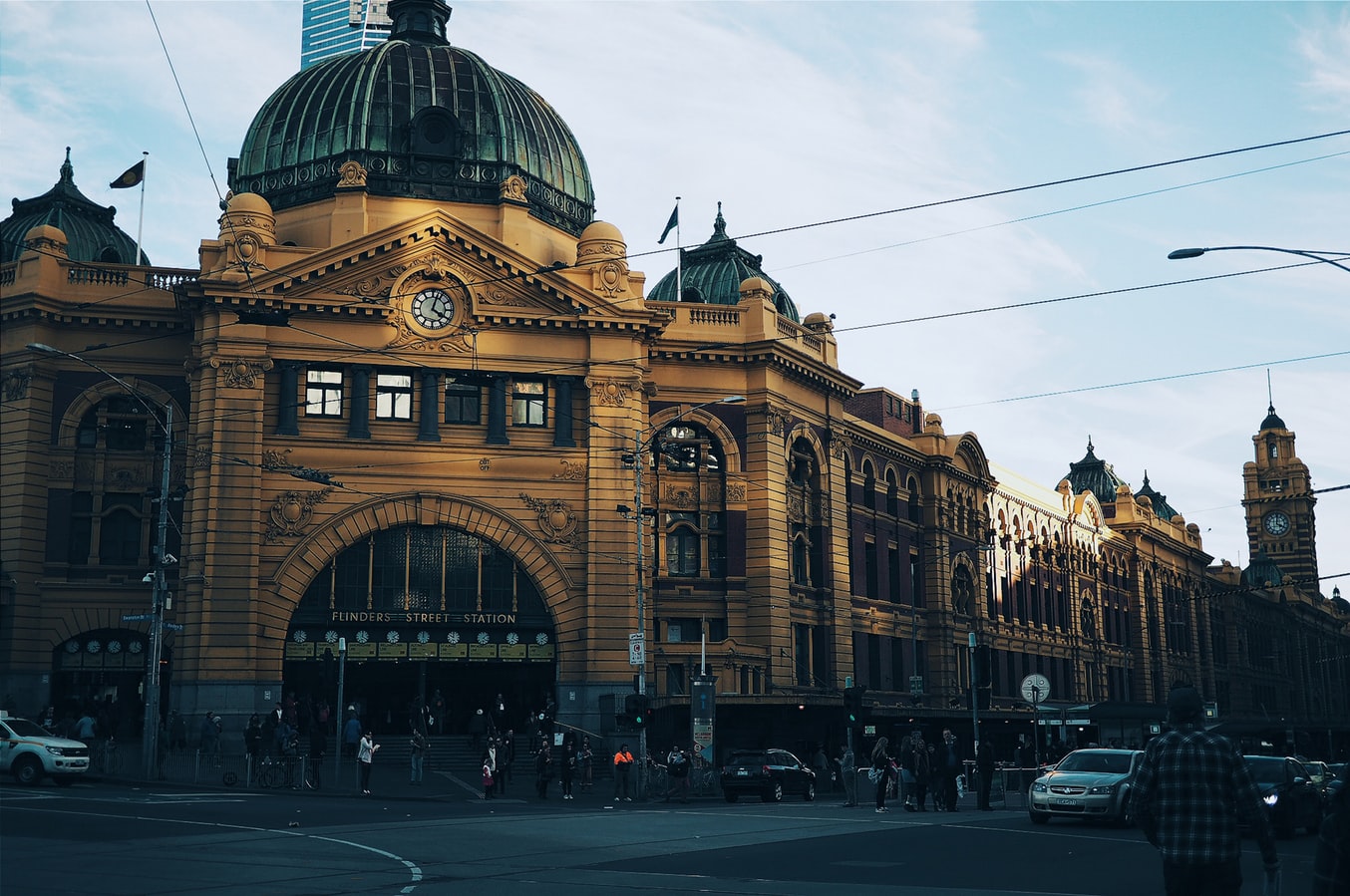
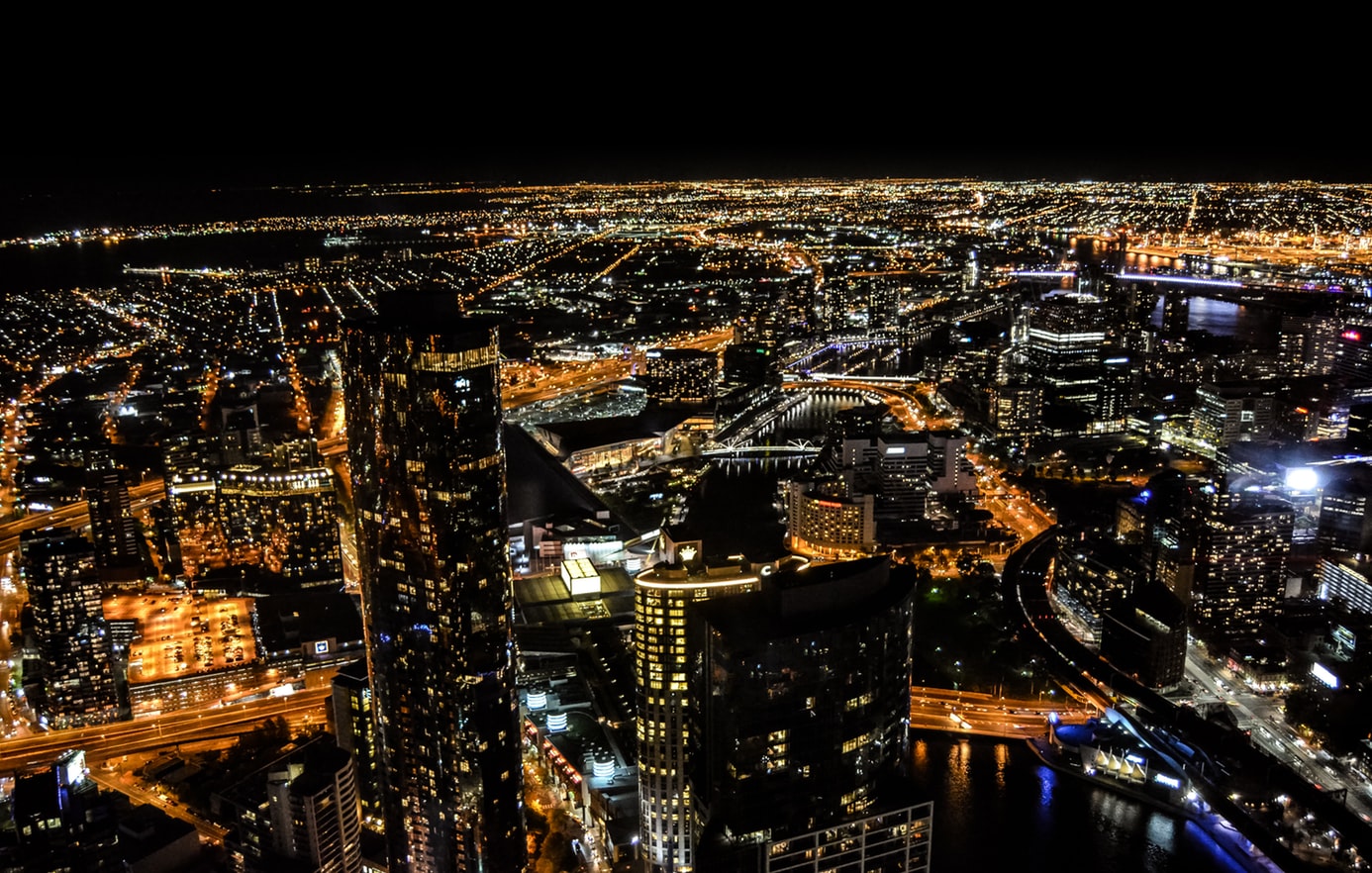
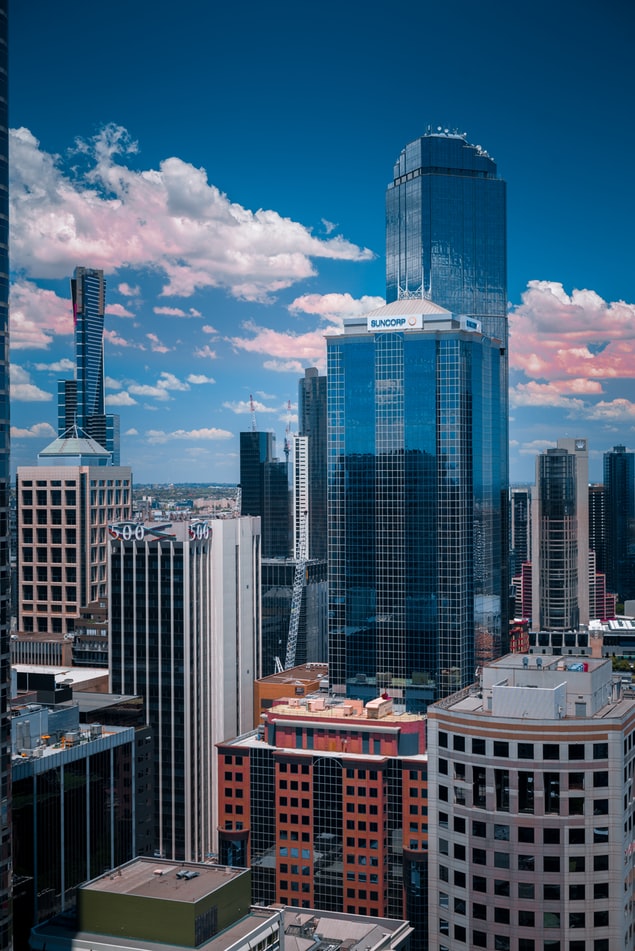
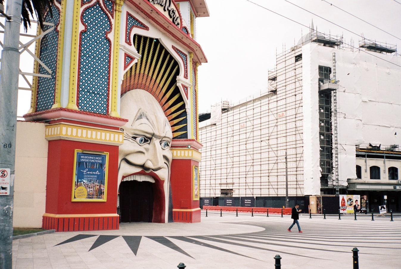
About Melbourne, Victoria
Consistently rated among the "world's most livable cities" in quality-of-life surveys, Melbourne is built on a coastal plain at the top of the giant horseshoe of Port Phillip Bay. The city center is an orderly grid of streets where the state parliament, banks, multinational corporations, and splendid Victorian buildings that sprang up in the wake of the gold rush now stand. This is Melbourne's heart, which you can explore at a leisurely pace in a couple of days.In Southbank, one of the newer precincts south of the city center, the Southgate development of bars, restaurants, and shops has refocused Melbourne's vision on the Yarra River. Once a blighted stretch of factories and run-down warehouses, the southern bank of the river is now a vibrant, exciting part of the city, and the river itself is finally taking its rightful place in Melbourne's psyche.Just a hop away, Federation Square—with its host of galleries—has become a civic landmark for Melburnians. Stroll along the Esplanade in the suburb of St. Kilda, amble past the elegant houses of East Melbourne, enjoy the shops and cafés in Fitzroy or Carlton, rub shoulders with locals at the Victoria Market, nip into the Windsor for afternoon tea, or rent a canoe at Studley Park to paddle along one of the prettiest stretches of the Yarra—and you may discover Melbourne's soul as well as its heart.
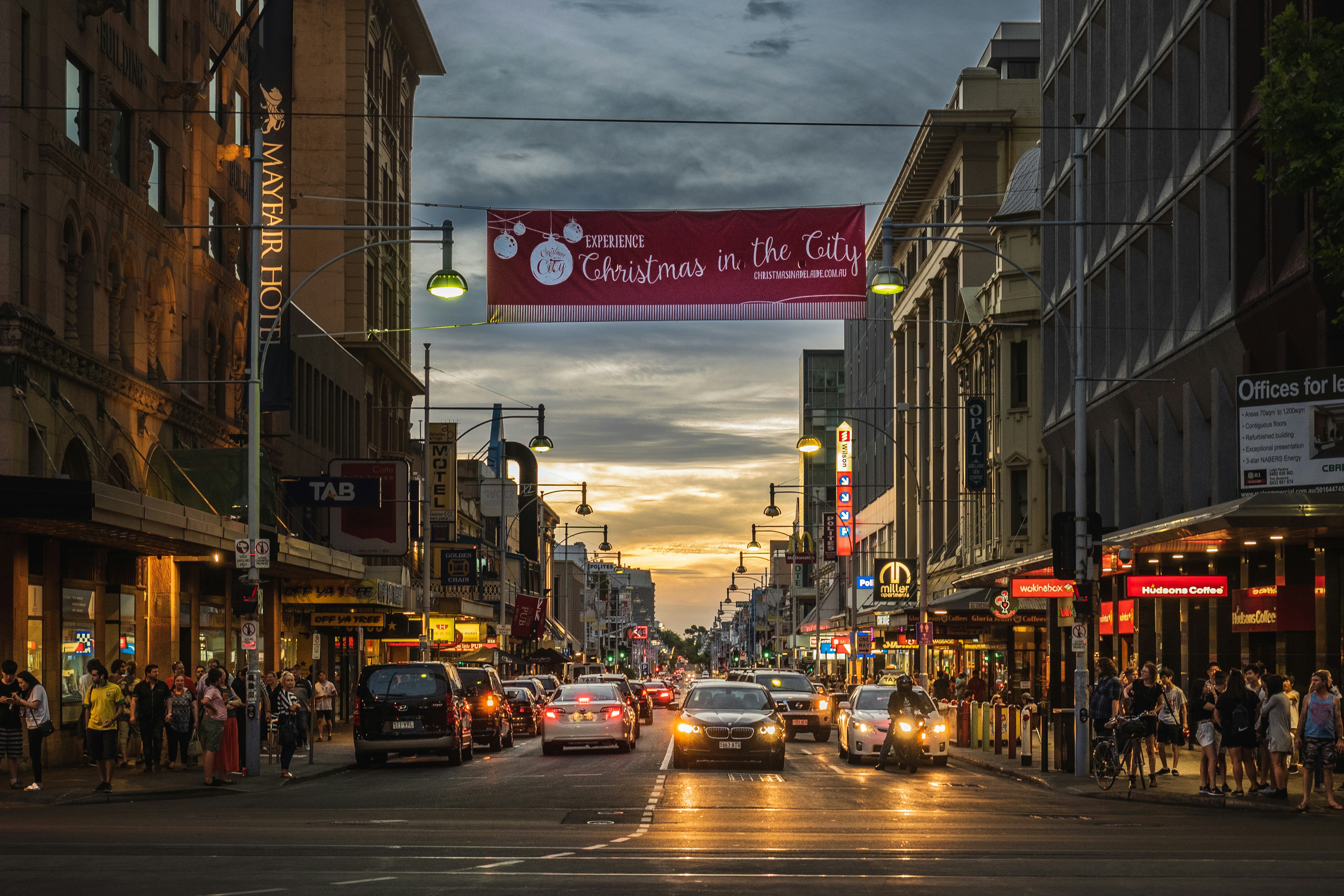
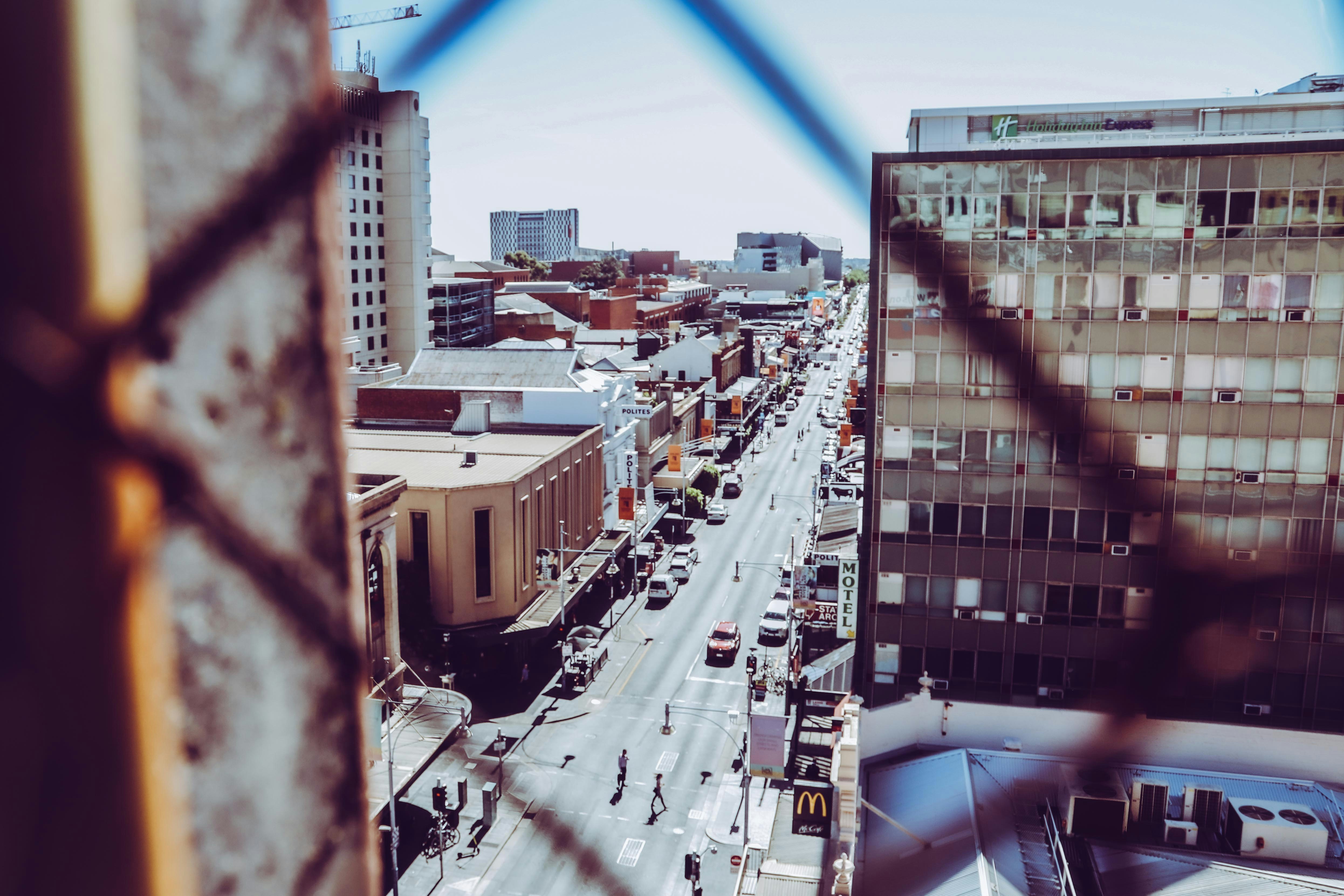
About Adelaide, South Australia
Australians think of Adelaide as a city of churches, but Adelaide has outgrown its reputation as a sleepy country town dotted with cathedrals and spires. The Adelaide of this millennium is infinitely more complex, with a large, multiethnic population and thriving urban art and music scenes supported by a "space activation program" that encourages pop-up shops, markets, performances, street food, mini festivals, art exhibitions, and other "off-the-cuff" experiences in the cities underutilized streets and public spaces.Bright and clean, leafy and beautiful Adelaide is a breeze to explore, with a grid pattern of streets encircled by parkland. The heart of the greenbelt is divided by the meandering River Torrens, which passes the Festival Centre in its prettiest stretch.
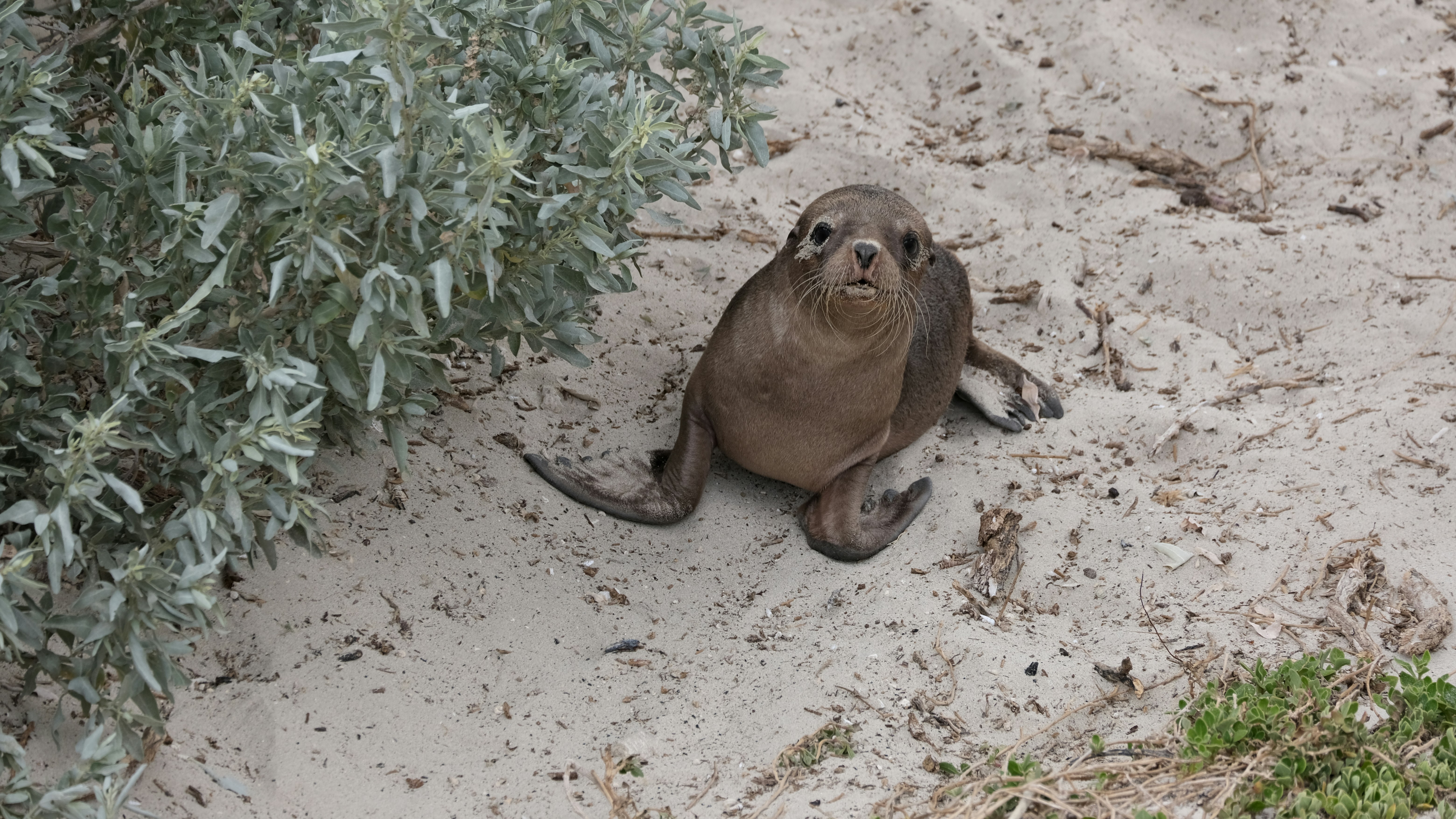
About Kangaroo Island, South Australia
Kangaroo Island is with 1,740 square miles the third largest island off the coast of Australia. It is 96 miles long and 34 miles wide, and known for its outstanding natural beauty. Due to its remote location, Kangaroo Island was less affected than the mainland by the impact of European development. To this day, the island is rich in diverse flora and fauna seldom found elsewhere. As one of the world’s last unspoiled wilderness places, about 30 percent of the island has been designated as National Parks. The most important one is Flinders Chase at the western end of Kangaroo Island, with Seal Bay Conservation Park following close behind. Its large sandy beach and dune area is home to Australian sea lions where they come to rest and nurse their young. Kingscote, formerly known as Queenscliffe, is the largest town on the island and its main supply depot. Tourism is a significant element in the local economy. A mix of attractive small townships, wildlife sanctuaries and fascinating wilderness areas guarantee a steady stream of visitors each year.
About Wallaroo, South Australia
About Port Lincoln, South Australia
Port Lincoln is the second-largest city on the lower Eyre Peninsula in the Australian state of South Australia. Nestled on the shore of Boston Bay, Australia's largest natural harbour, Port Lincoln opens eastward into Spencer Gulf. Port Lincoln is the largest city in the west coast region, and located approximately 174 miles (280 kilometres) from the capital city of Adelaide. Port Lincoln has a contrasting coastal landscape, ranging from sheltered waters and beaches to surf beaches and rugged oceanic coastline. The Great South Australian Coastal Upwelling System brings cold, nutrient-rich water into nearby waters of the Great Australian Bight and Spencer Gulf. This phenomenon supports lucrative fisheries, including that of the southern bluefin tuna and sardine, making Port Lincoln locally-renowned as the 'Seafood Capital of Australia'. The Eyre Peninsula has been home to Aboriginal people for thousands of years. The Nauo (south-western Eyre), Barngarla (eastern Eyre), Wirangu (north-western Eyre) and Mirning (far-western Eyre) being the predominant original cultural groups present at the time of the arrival of Europeans. Port Lincoln was discovered by Matthew Flinders under his commission by the British Admiralty to chart Australia's unexplored coastline. Flinders dropped anchor in Boston Bay in February 1802, and named the spot Port Lincoln after his native Lincolnshire in England. Port Lincoln was initially considered as the alternative site for the State's capital, but was subsequently rejected by Colonel Light in 1836 in favour of Adelaide; a lack of fresh water supplies was a major determining factor. The first settlers arrived in Port Lincoln in March 1839 aboard the Abeona, the Dorset and the Porter. There is an historic plaque at the First Landing site to commemorate the event. In the years since, Port Lincoln has evolved into one of the nation's biggest combined agricultural, fishing and aquaculture industries, with tourism becoming a major contributor towards the local economy. Port Lincoln offers ample opportunities to explore its unique blend of cultures and storied past. The local culture, traditions and storied past can be experienced during visits to any of Port Lincoln's scenic and informative museums. The Axel Stenross Museum is filled with maritime history, relics and artefacts from windjammer days. The Koppio Smithy National Trust Museum is a vast, Heritage-listed, open-air museum nestled amidst the rolling hills of Koppio, and replete with buildings and artefacts representing the early pioneer heritage of Eyre Peninsula. The Mt. Dutton Bay Woolshed Museum is a Heritage-listed 'working' museum consisting of hundreds of local artefacts depicting the history of Port Lincoln's historic shearing, farming and fishing era. The National Trust 'Mill Cottage' offers visitors a unique opportunity to explore the pioneering life of the Bishop family, one of Port Lincoln's first settlement families, during a visit to their 1866 home. The Railway Museum provides an authentic setting for many of the museum displays, with many internal features still intact from the days when it was an active railway station. Port Lincoln is home to 148,263 acres (60,000 hectares) of national parks, with abundant beaches, local wildlife, flora and fauna, 250 bird species, and breath-taking panoramic vistas of Boston Bay, Spencer Gulf and beyond. Port Lincoln National Park, Coffin Bay National Park and Kellidie Bay Conservation Park are all located nearby, and represent a unique opportunity to explore Port Lincoln's exquisite natural and coastal beauty. Land-based outdoor excursions include bird-watching, scenic walking tours, off-road 4WD excursions and wildlife tours at the Glen-Forest Tourist Park and Wilderness Wanders Adventure Tours, or a relaxing round of golf at the Port Lincoln Golf Club, located 6.2 miles (10 kilometres) from Port Lincoln. The abundant blue waters off Port Lincoln, Boston Bay, Spencer Gulf and the ocean beyond are ideally-suited for aquaculture tours, windsurfing, surfing, snorkelling, scuba-diving, fishing, boating, sailing, swimming with bluefin tuna at Swim with the Tuna, and shark cage-diving and swimming with sea lions, seals, rays, and grouper at Calypso Star Charters and Rodney Fox Shark Expeditions. Due to its compact size, Port Lincoln can be easily explored in just a single day.
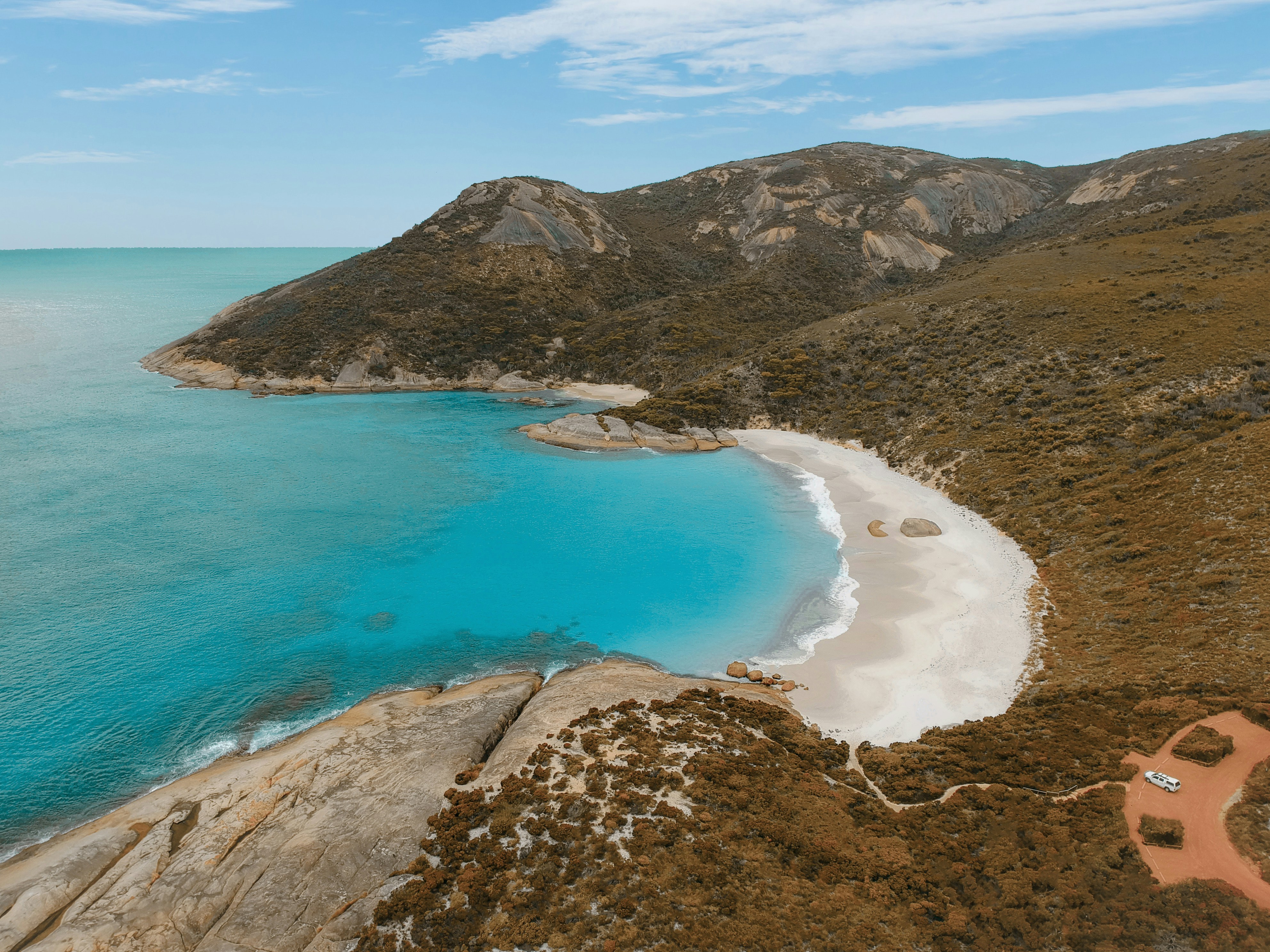
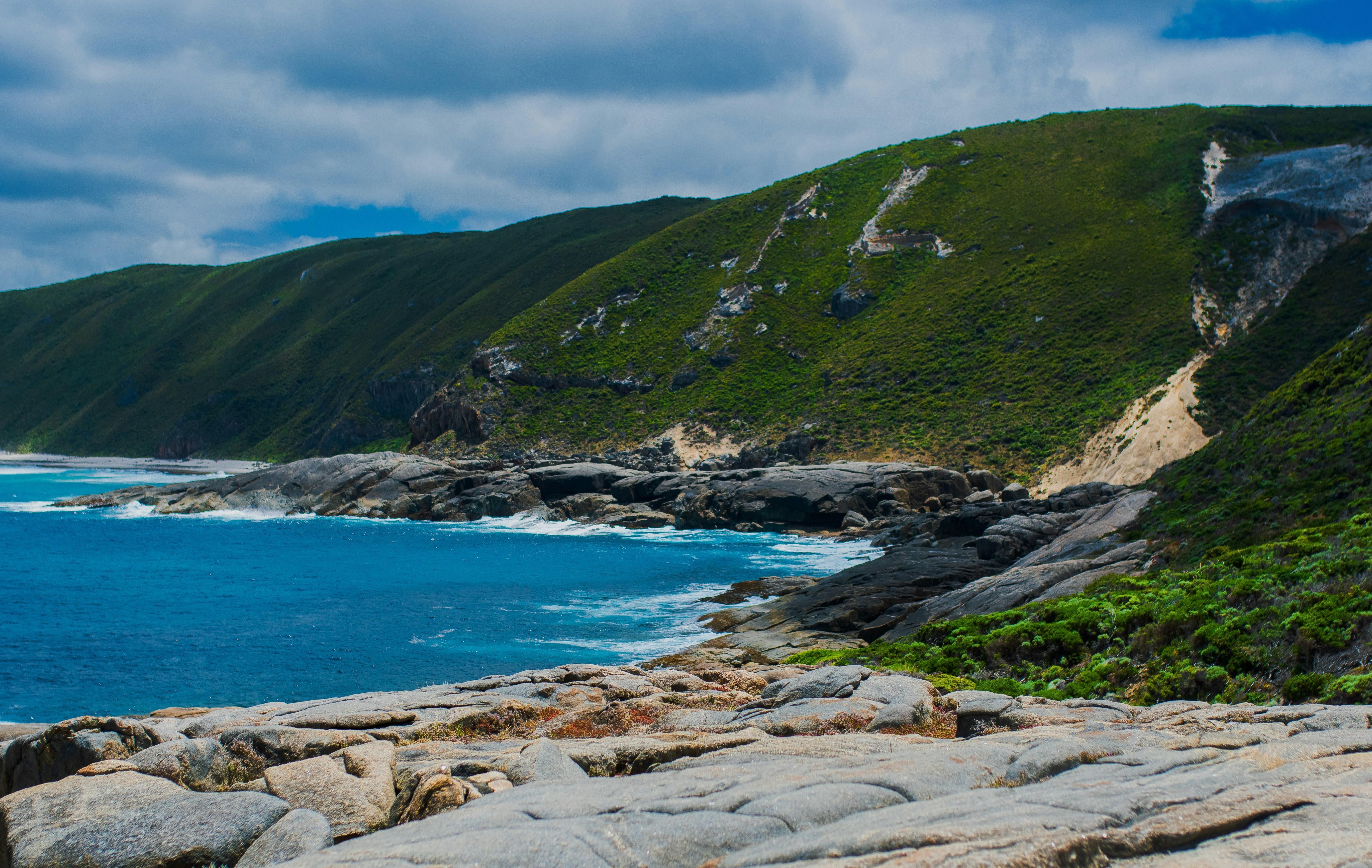
About Albany, Western Australia
Proclaimed a city on July 1, 1998, Albany with a population of 28,000 is rapidly expanding. It is the commercial center of Western Australia's southern region and the oldest settlement in the state, established in 1826. Boasting an excellent harbor on King George Sound led to Albany becoming a thriving whaling port. Later, when steam ships started traveling between England and Australia, Albany was an important coaling station and served as a penal and a military outpost. The coastline offers some of Australia's most rugged and spectacular scenery. At certain times of the year, whales can be spotted off the coast. Among the city's attractions are some fine old colonial buildings that reflect Albany's Victorian heritage. Various lookout points offer stunning vistas.
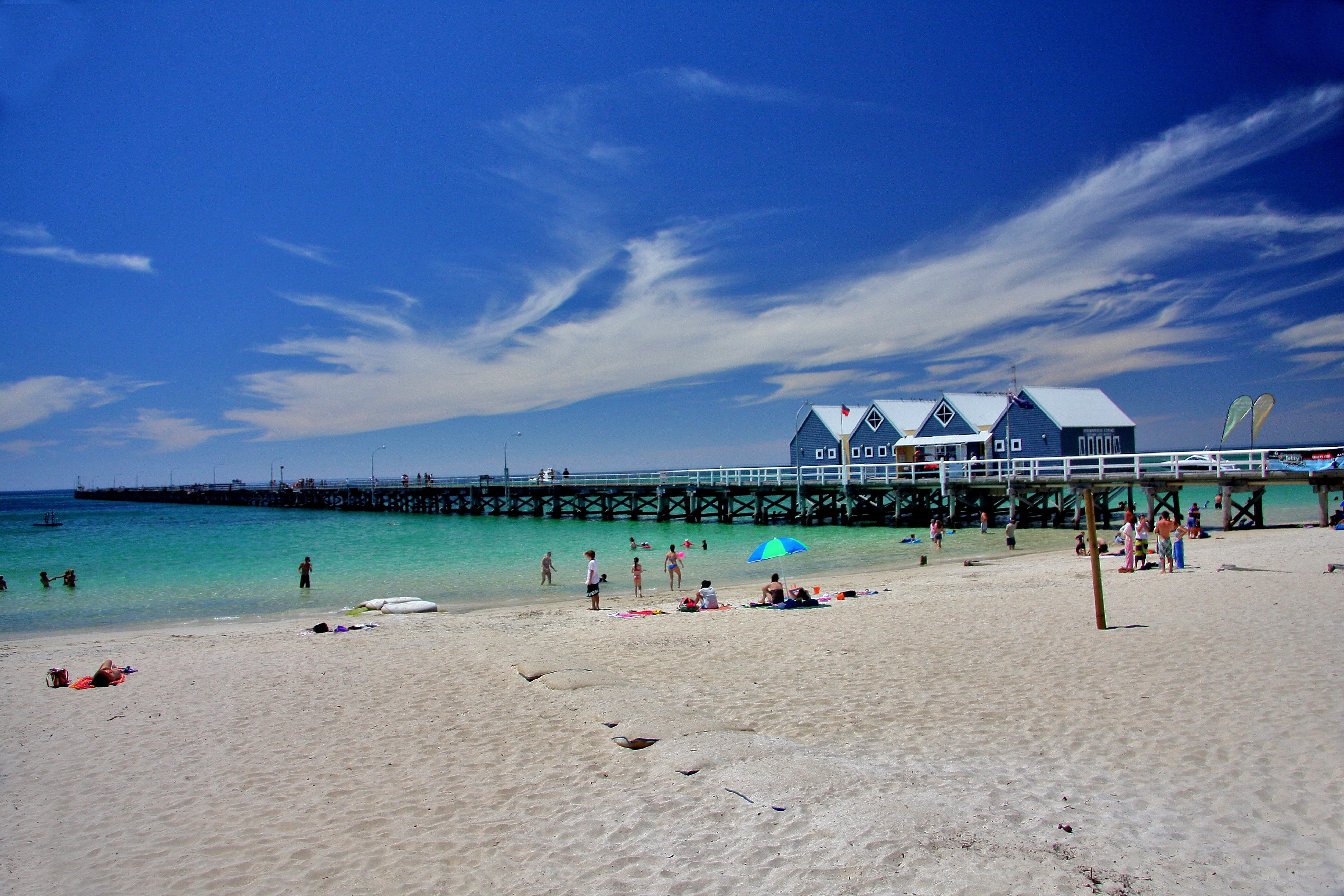
About Busselton, Western Australia
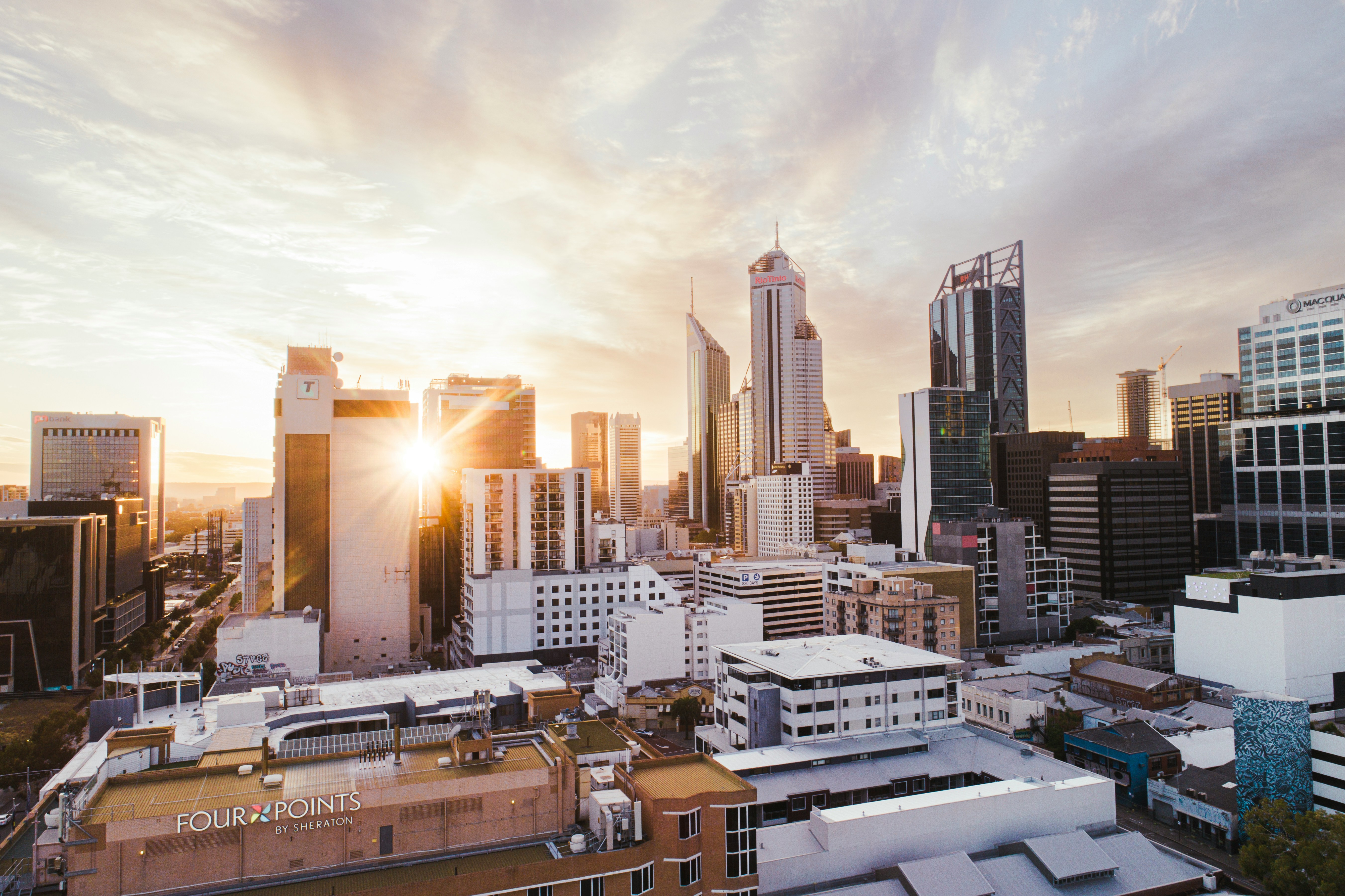
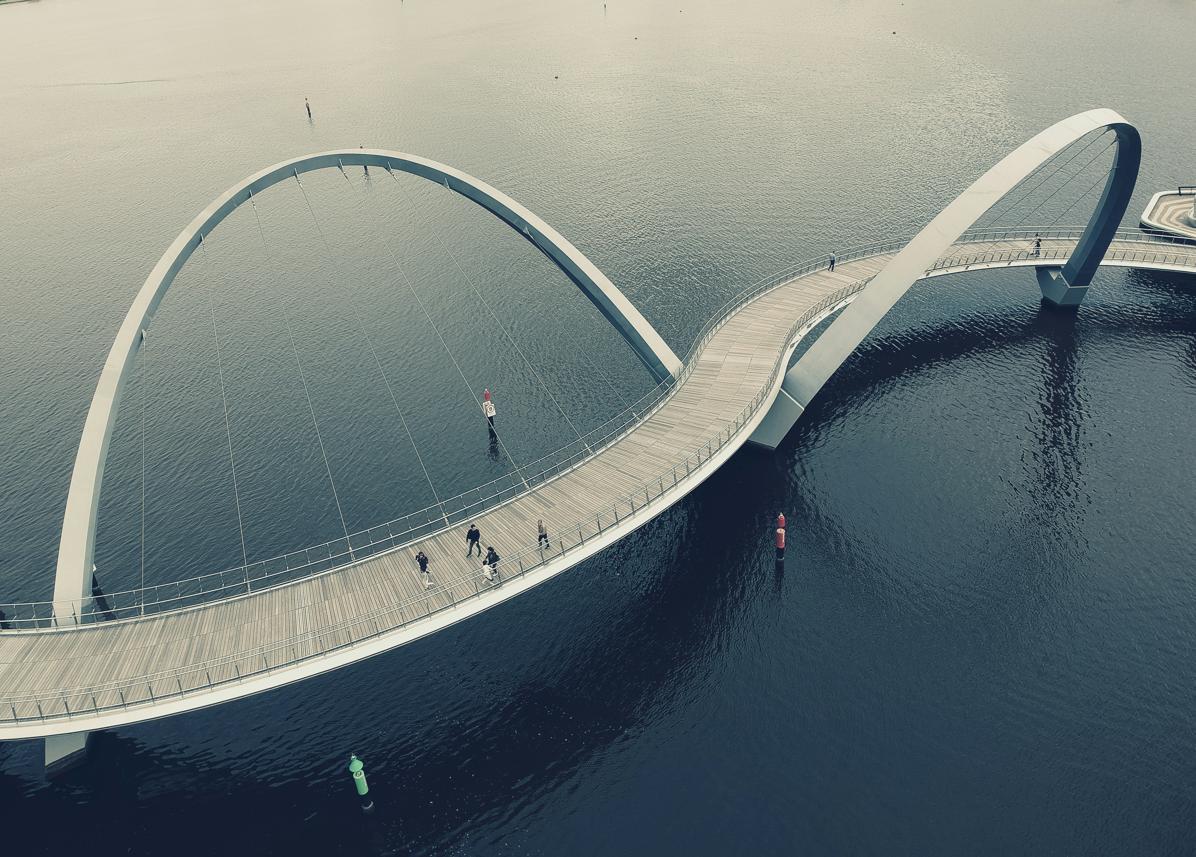
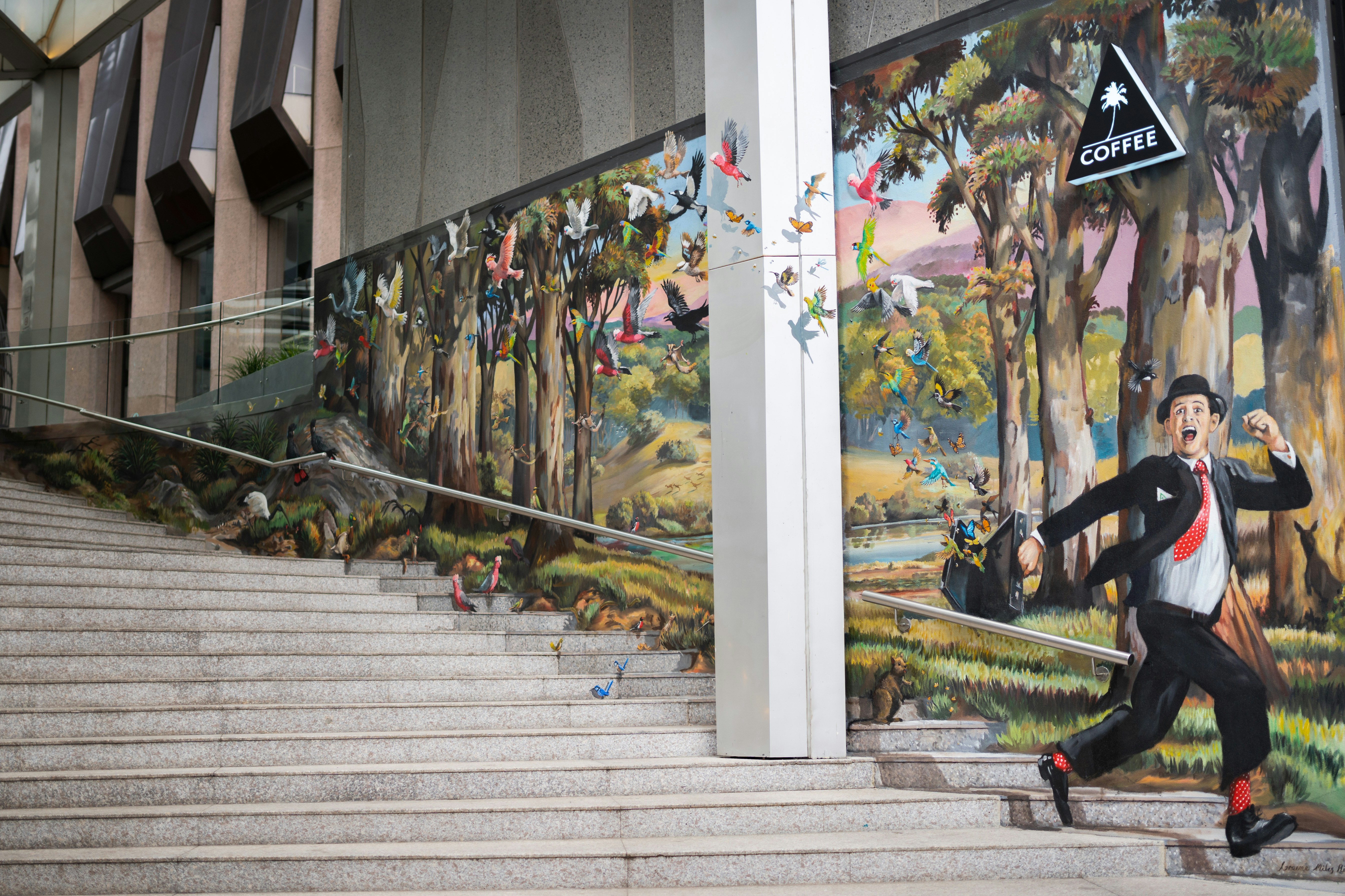
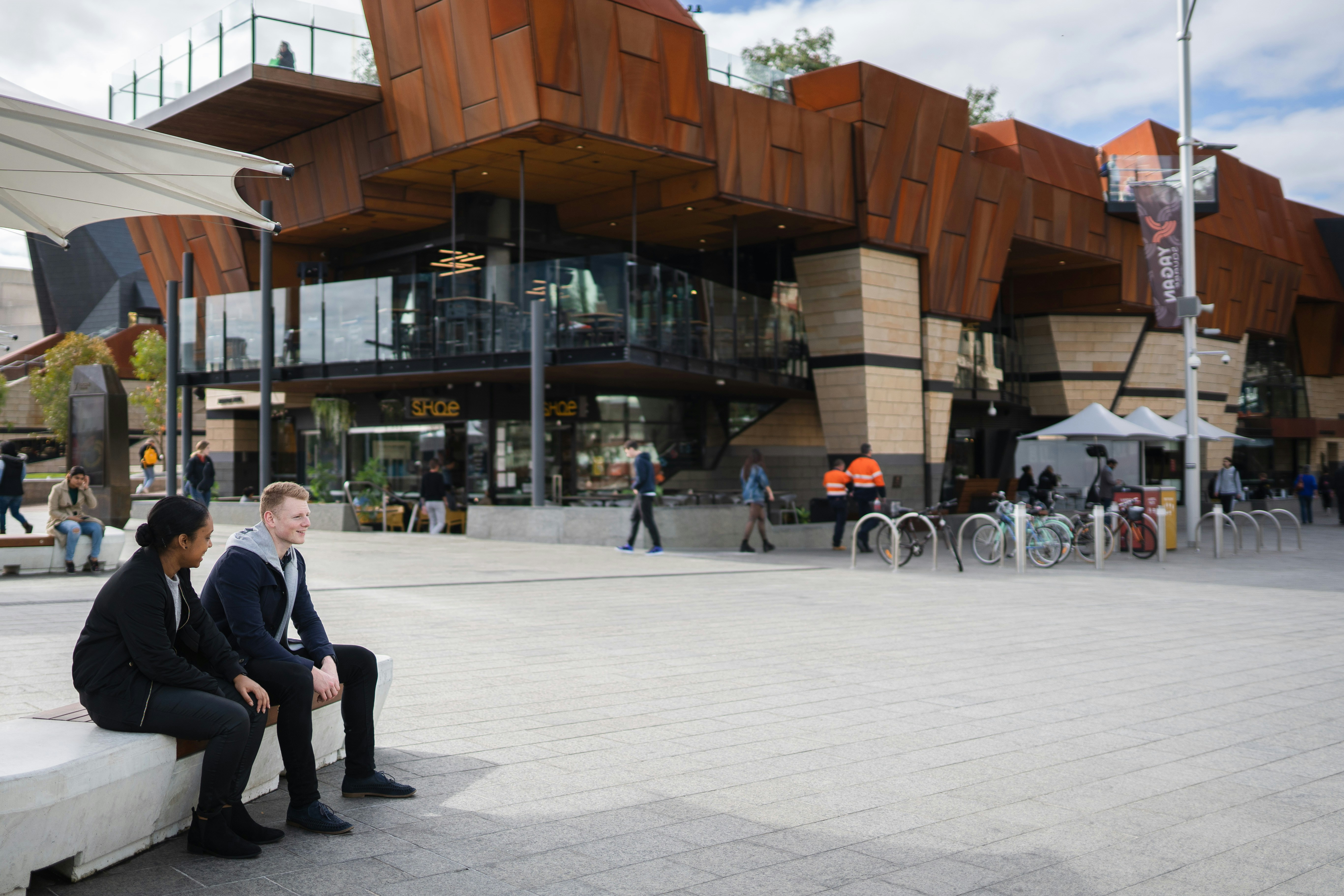
About Perth, Western Australia
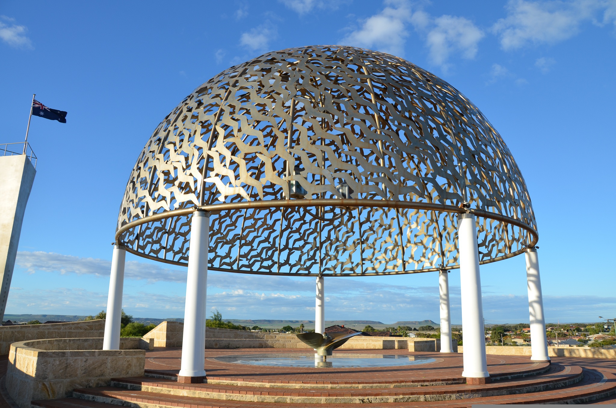
About Geraldton, Western Australia
Surrounded by beaches, sun-drenched Geraldton in Western Australia is a thriving city facing the Indian Ocean. Located on the Coral Coast, the city has a friendly country town feel but is infused local history and cultural heritage. Like many coastal towns, the dining and café culture is superb and the choice of which restaurant to choose is a happy dilemma for most travellers!Celebrated for its annual display of spectacular wildflowers, Geraldton’s flora attracts visitors from all regions, with guides taking tourists on as much as 300 mile/500 kilometre round trips in order to make sure that they receive the best possible experience. A haven for visitors especially during the cooler months, the views differ year-in year-out and vary greatly depending on the rainfall. Whole fields become blanketed in colour and rare plants, such as the wreath-flower, burst into splendorous bloom. The well-informed guides keep a track of what is flowering where and visitors only have to ask to be pointed in the right direction. With over 300 species of native plants, it is only expected that insects and birds are attracted to the area. Over 120 types of bird have been classified as well as 22 types of reptile and seven types of frog. Happily, the iconic kangaroo also makes the plains their home, so visitors can expect a real Aussie welcome if they happen upon one!
About Exmouth, Western Australia
About Broome, Western Australia
Broome, a coastal town in Western Australia, is famous for its stunning beaches, rich history, and vibrant culture. Located on the Indian Ocean, it boasts Cable Beach, known for its white sand, turquoise waters, and iconic camel rides at sunset. Once a pearling hub, Broome retains its multicultural heritage, reflected in its cuisine and architecture. The town is also the gateway to the Kimberley region, offering breathtaking landscapes and unique natural attractions like the Staircase to the Moon. With warm weather year-round and a laid-back atmosphere, Broome is a perfect destination for adventure, relaxation, and cultural experiences.
About Kimberley Coast, Western Australia

About Darwin, Northern Territory
Darwin is Australia's most colorful, and exotic, capital city. Surrounded on three sides by the turquoise waters of the Timor Sea, the streets are lined with tropical flowers and trees. Warm and dry in winter, hot and steamy in summer, it's a relaxed and casual place, as well as a beguiling blend of tropical frontier outpost and Outback hardiness. Thanks to its close proximity to Southeast Asia and its multicultural population it also seems more like Asia than the rest of Australia. Darwin is a city that has always had to fight for its survival. The seductiveness of contemporary Darwin lifestyles belies a history of failed attempts that date from 1824 when Europeans attempted to establish an enclave in this harsh, unyielding climate. The original 1869 settlement, called Palmerston, was built on a parcel of mangrove wetlands and scrub forest that had changed little in 15 million years. It was not until 1911, after it had already weathered the disastrous cyclones of 1878, 1882, and 1897, that the town was named after the scientist who had visited Australia's shores aboard the Beagle in 1839. During World War II it was bombed more than 60 times, as the harbor full of warships was a prime target for the Japanese war planes. Then, on the night of Christmas Eve 1974, the city was almost completely destroyed by Cyclone Tracy, Australia’s greatest natural disaster. It's a tribute to those who stayed and to those who have come to live here after Tracy that the rebuilt city now thrives as an administrative and commercial center for northern Australia. Old Darwin has been replaced by something of an edifice complex—such buildings as Parliament House and the Supreme Court all seem very grand for such a small city, especially one that prides itself on its casual, outdoor-centric lifestyle. Today Darwin is the best place from which to explore Australia's Top End, with its wonders of Kakadu and the Kimberley region.
About Alotau
Alotau is the provincial capital of the Milne Bay Province located in the southeast bay of Papua New Guinea. The town and surrounding area has been an important staging ground during World War II and we will see remains and memorials dating back or referring to the war. On a tour of the town, visitors will appreciate lovely vistas of the bay and experience the markets, which are frequented not only by locals, but also by islanders selling their products or looking for produce to take back into Milne Bay. Alotau is an important port facility for the islands and attracts many vendors of handicrafts from different islands.
About Cairns, Queensland
Tourism is the lifeblood of Cairns (pronounced Caans). The city makes a good base for exploring the wild top half of Queensland, and tens of thousands of international travelers use it as a jumping-off point for activities such as scuba diving and snorkeling trips to the Barrier Reef, as well as boating, fishing, parasailing, scenic flights, and rain-forest treks.It's a tough environment, with intense heat and fierce wildlife. Along with wallabies and grey kangaroos in the savannah and tree kangaroos in the rain forest, you'll find stealthy saltwater crocodiles, venomous snakes, and jellyfish so deadly they put the region’s stunning beaches off- limits to swimmers for nearly half the year. Yet despite this formidable setting, Cairns and tropical North Queensland are far from intimidating places. The people are warm and friendly, the sights spectacular, and—at the right time of year—the beachside lounging is world-class.
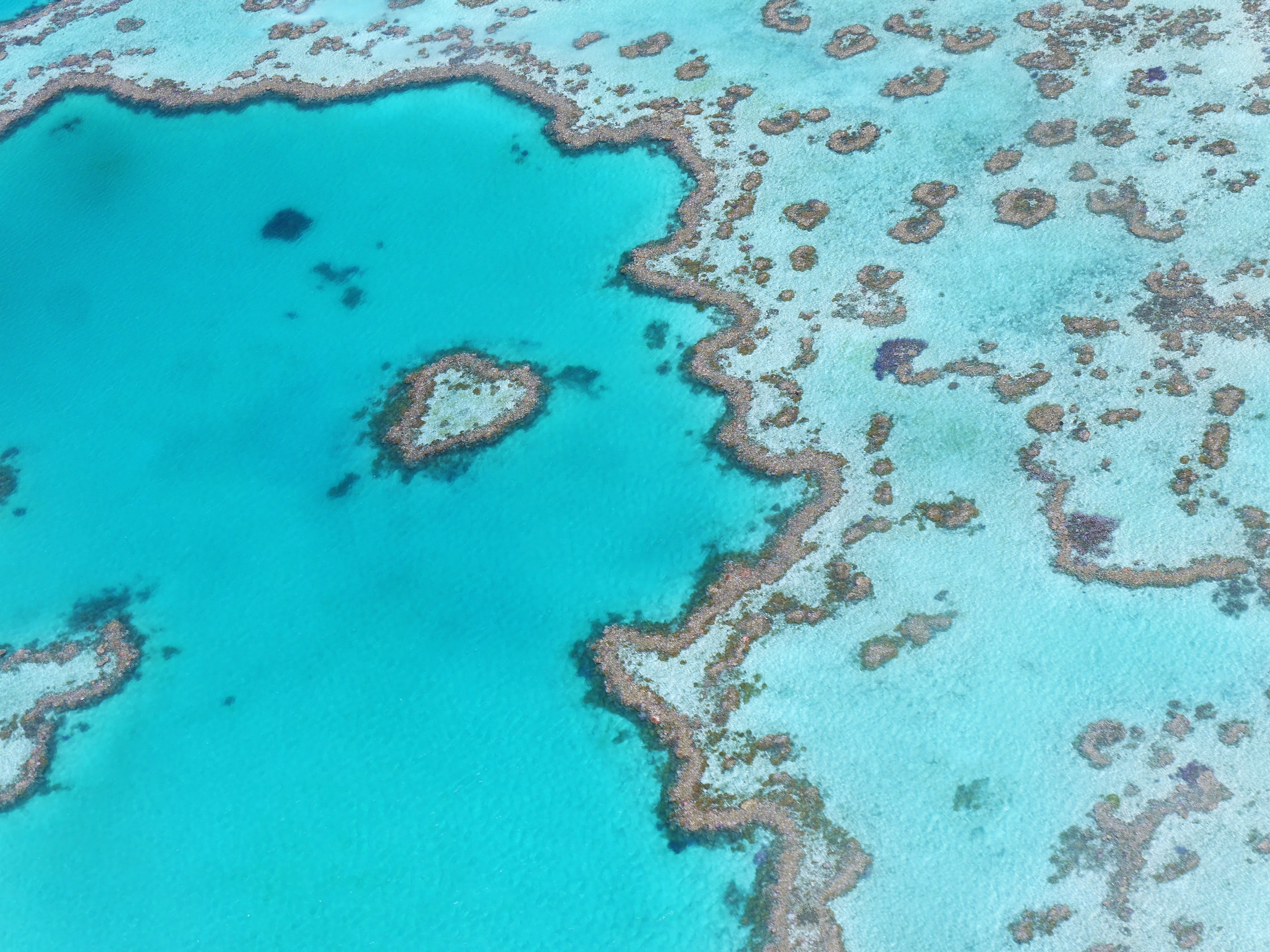
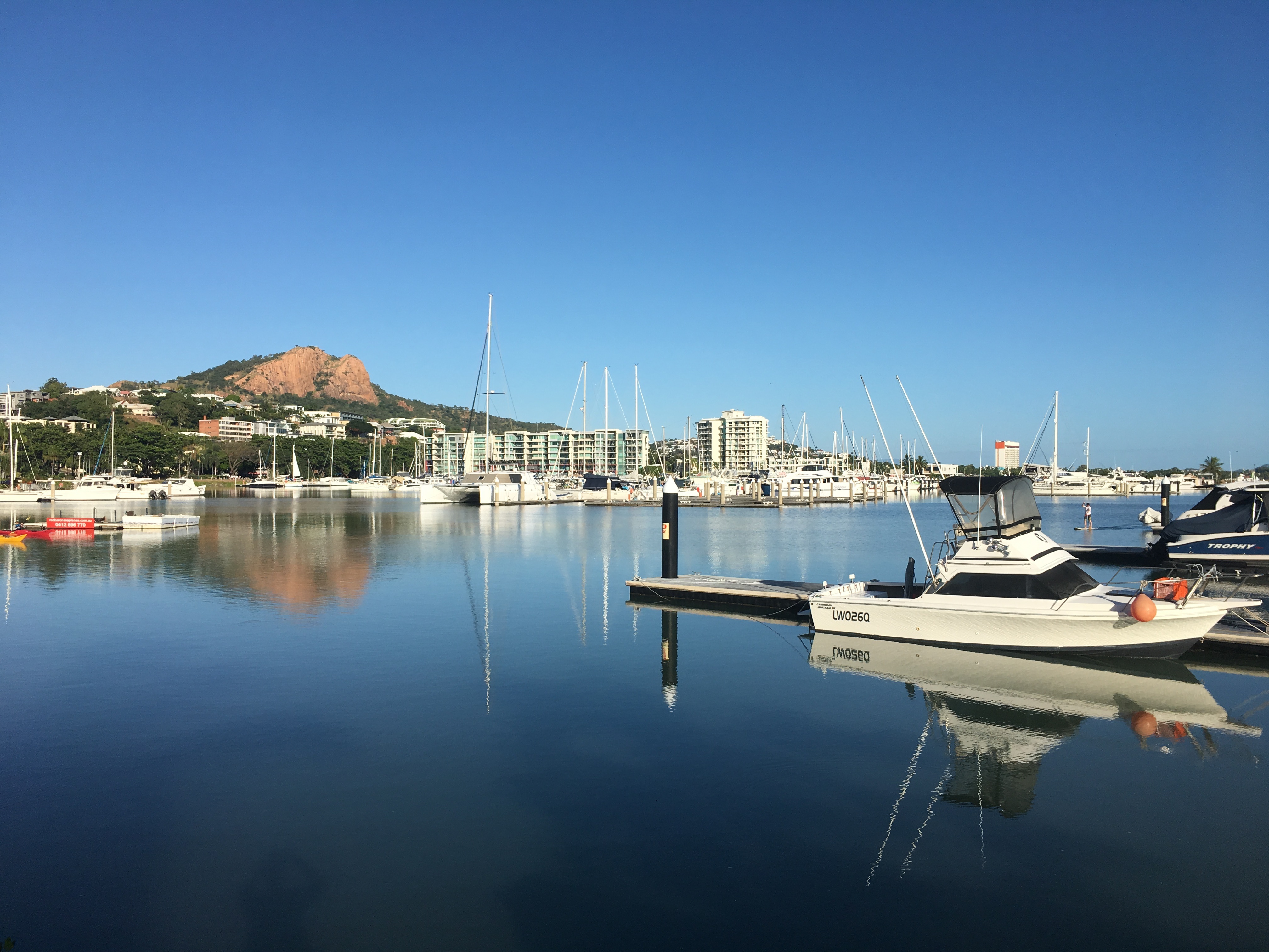
About Townsville, Queensland
This coastal city has little in the way of sandy beaches or surf, but it does have shady parks, charming colonial buildings, and a boardwalk-flanked waterfront Esplanade with a terrific man-made beach and picnic facilities. The historic town center has thrived recently, with an influx of lively eateries and bars. There are also some excellent museum and a world-class aquarium.Queensland Parks and Wildlife Service has an office on Magnetic Island, but Townsville Enterprise's information kiosks in Flinders Square and the Museum of Tropical Queensland (MTQ), on the mainland, are the best sources of visitor info about the island.
About Airlie Beach
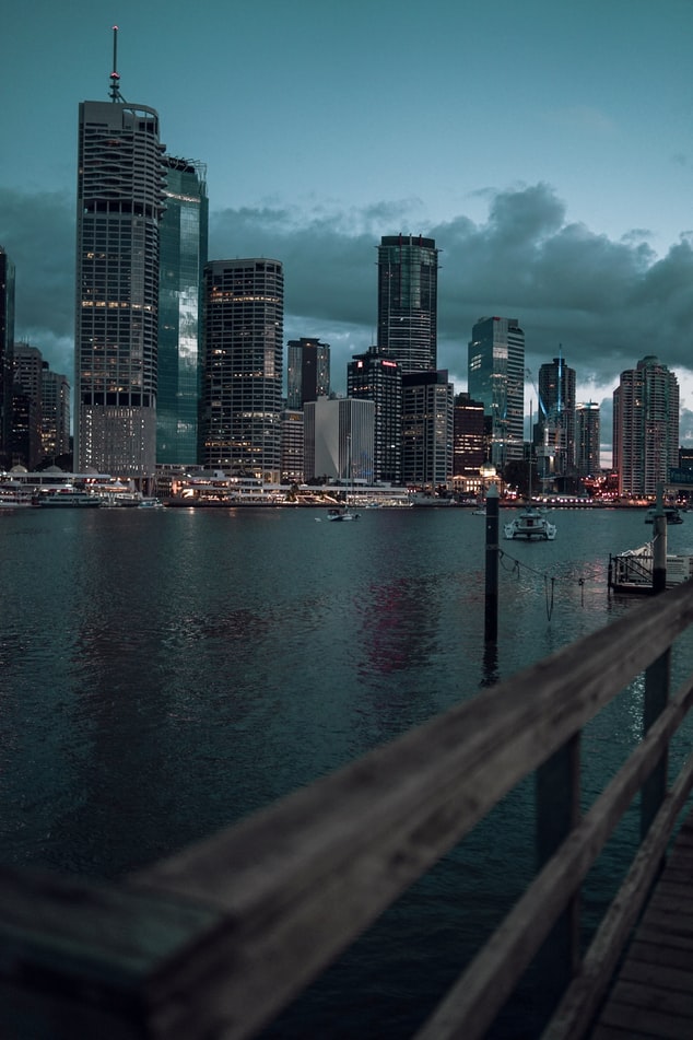
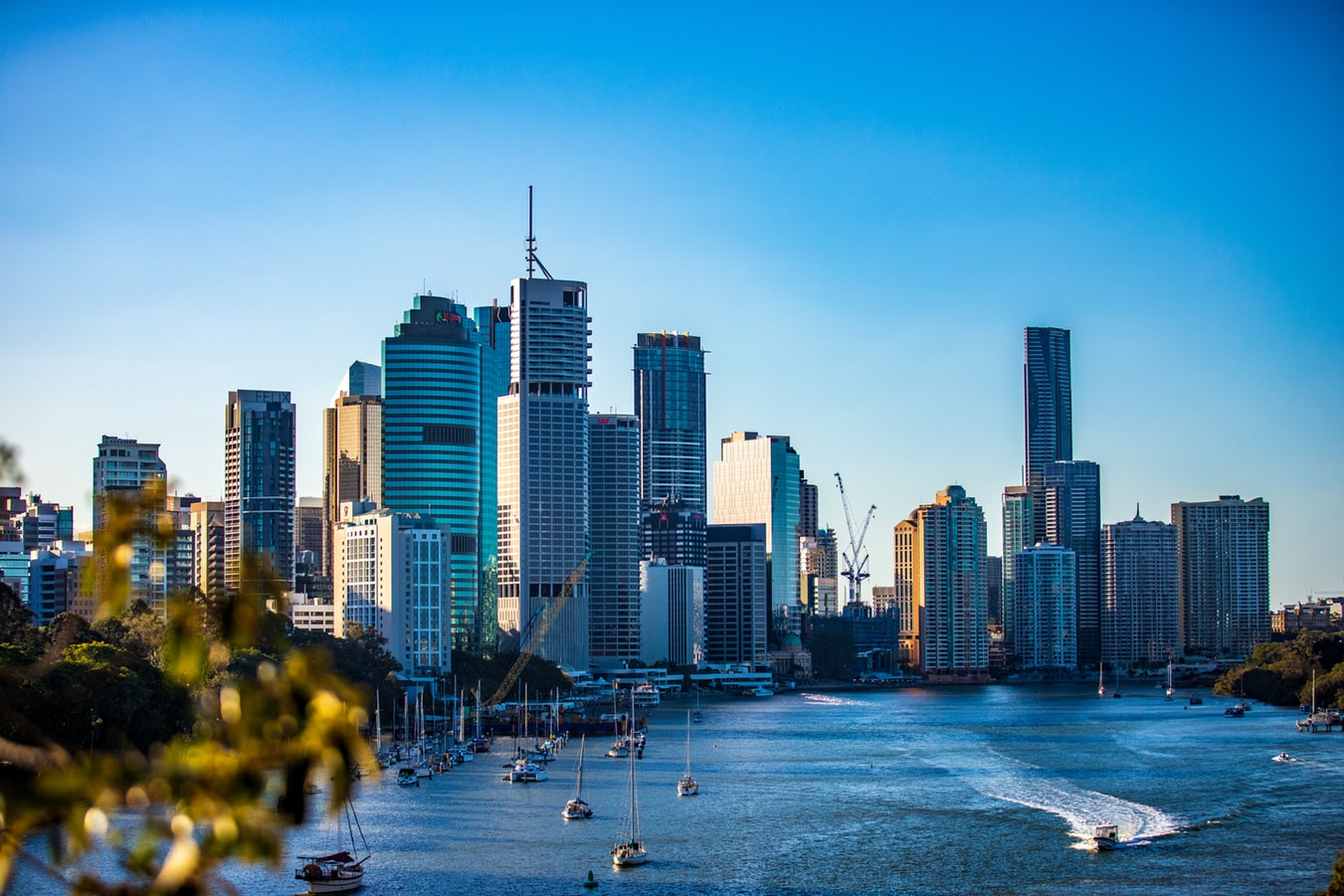
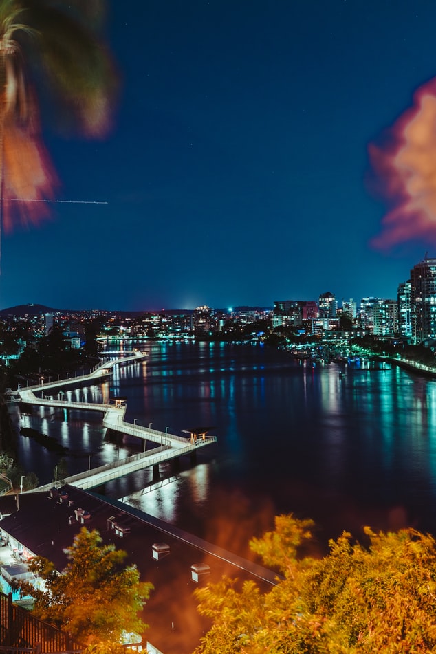
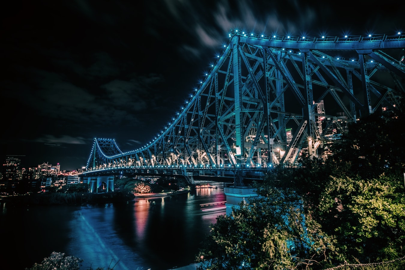
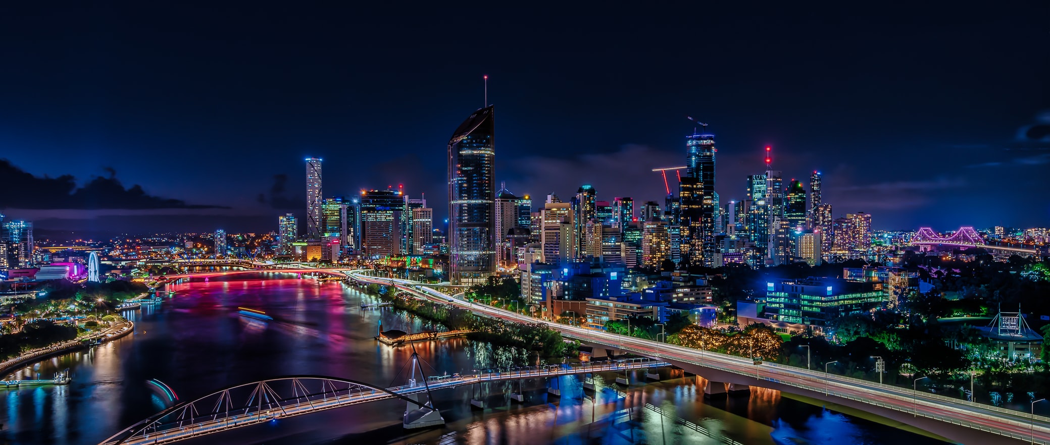
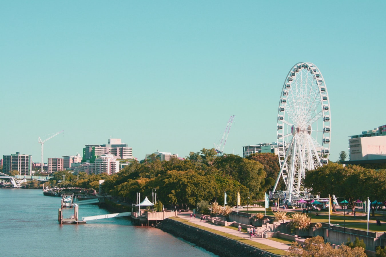
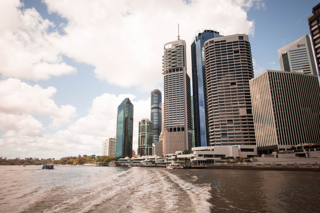
About Brisbane, Queensland
Founded in 1824 on the banks of the wide, meandering Brisbane River, the former penal colony of Brisbane was for many years regarded as just a big country town. Many beautiful timber Queenslander homes, built in the 1800s, still dot the riverbanks and inner suburbs, and in spring the city's numerous parks erupt in a riot of colorful jacaranda, poinciana, and bougainvillea blossoms. Today the Queensland capital is one of Australia's most up-and-coming cities: glittering high-rises mark its polished business center, slick fashion boutiques and restaurants abound, and numerous outdoor attractions beckon. In summer, temperatures here are broilingly hot and days are often humid, a reminder that this city is part of a subtropical region. Wear SPF 30-plus sunscreen and a broad-brimmed hat outdoors, even on overcast days.Brisbane's inner suburbs, a 5- to 10-minute drive or 15- to 20-minute walk from the city center, have a mix of intriguing eateries and quiet accommodations. Fortitude Valley combines Chinatown with a cosmopolitan mix of clubs, cafés, and boutiques. Spring Hill has several high-quality hotels, and Paddington, New Farm, Petrie Terrace, West End, and Woolloongabba are full of an eclectic mix of restaurants and bars. Brisbane is also a convenient base for trips to the Sunshine and Gold coasts, the mountainous hinterlands, and the Moreton Bay islands.
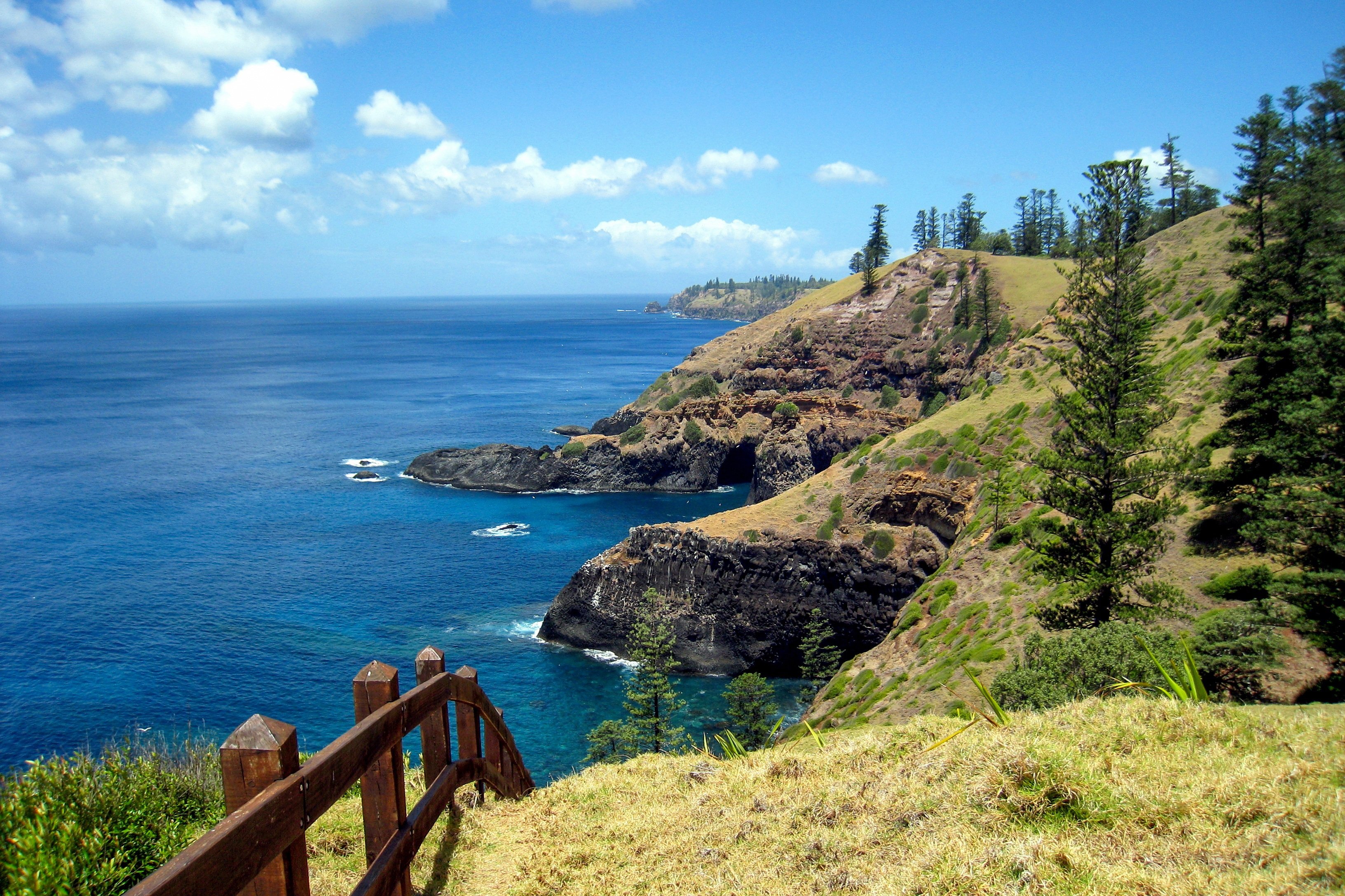
About Norfolk Island
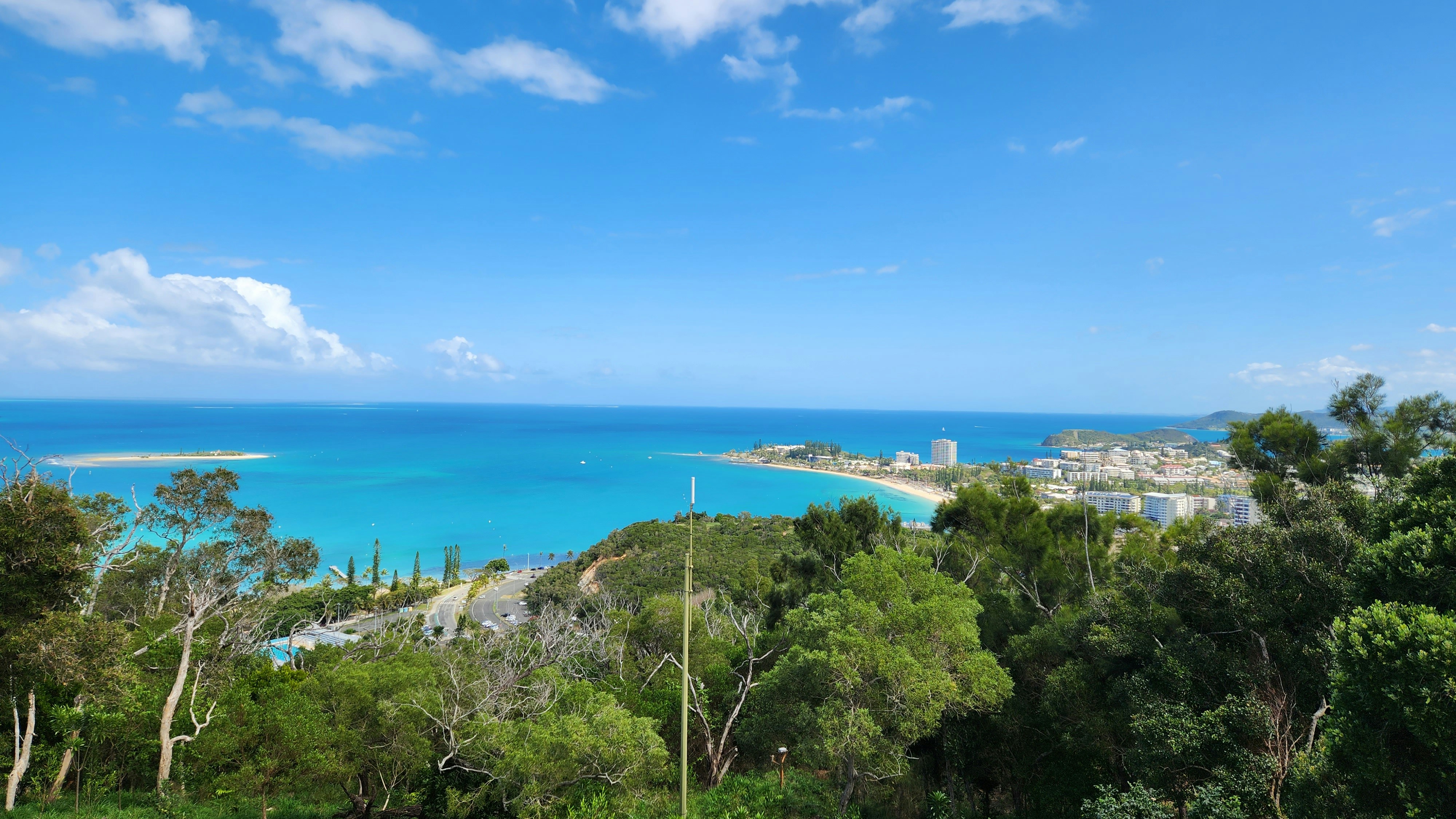
About Nouméa
With its elegant urban infrastructure in a stunning natural setting, Noumea is a truly unique island and part of the New Caledonia archipelago. Noumea started as a penal colony, but has since evolved to a lovely metropolis and today has almost two thirds of New Caledonia’s population. While much of the archipelago of New Caledonia has a large percentage of Kanak people – the indigenous inhabitants who live in tribal areas across the country – Noumea is predominantly European with a strong French influence. The city’s center and Place de Cocotiers, the main park, are located close to the harbor and several churches date back to the late 19th century. Other attractions include a world-class aquarium at Anse Vata, several long beaches to the south, and a noteworthy collection of Kanak and South Pacific objects at the Museum of New Caledonia. The architectural gem of the city is the Tjibaou Cultural Center, the structure of which resembles sails, or the roofs of Kanak houses hidden behind mangroves.
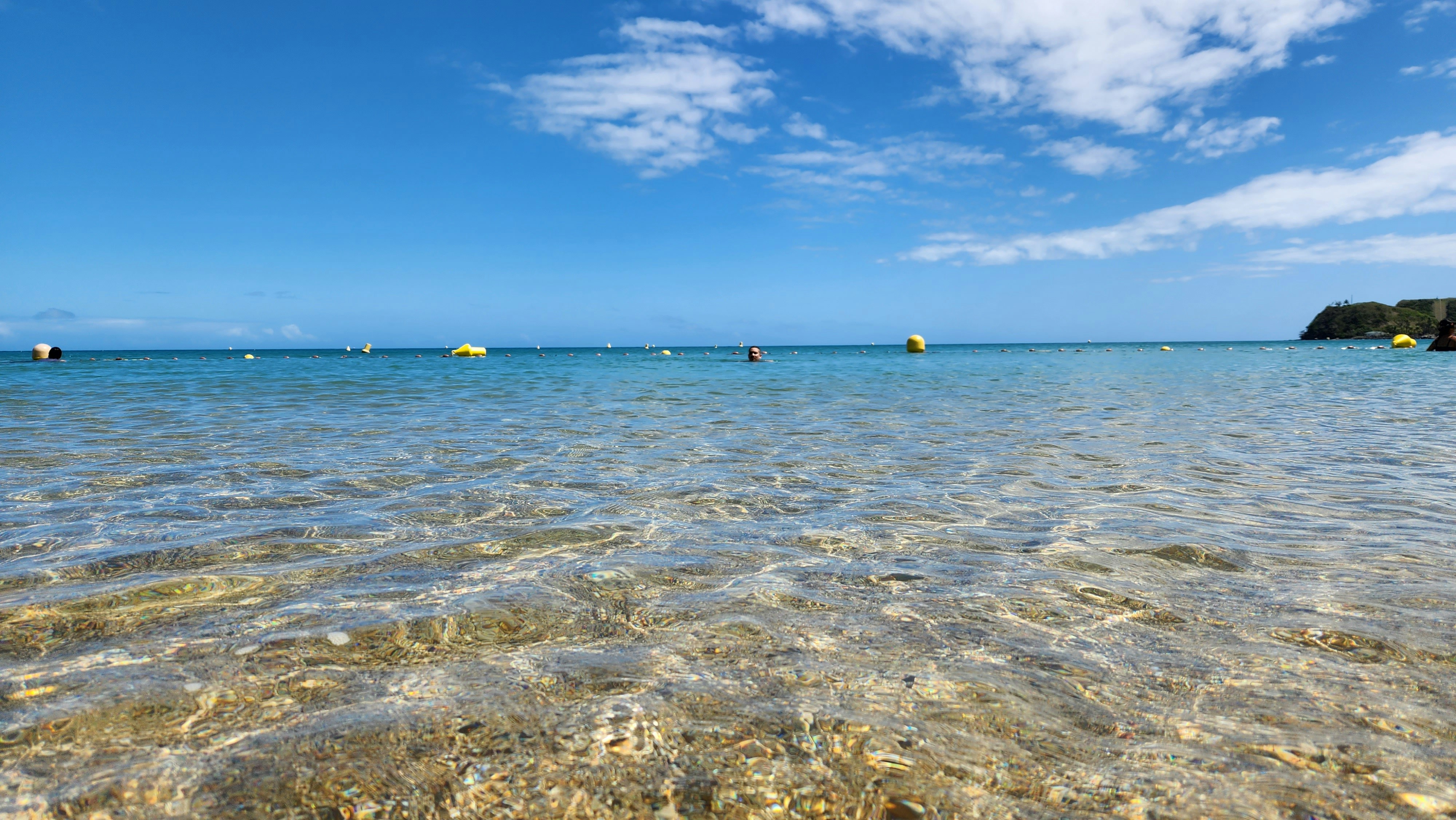
About Mystery Island (Inyeug)
About Lautoka
North of Nadi through sugarcane plantations and past the Sabeto Mountains is Lautoka, nicknamed the Sugar City for the local agriculture and its big processing mill. With a population of around 50,000, it's the only city besides Suva and, like the capital, has a pleasant waterfront. It's the sailing point for Blue Lagoon and Beachcomber Cruises but is otherwise unremarkable for tourists, itself having few hotels and fewer good restaurants. Locals recommend the city as a less-expensive place to shop for clothing, but note that it can take as long as 45 minutes to drive here. Legend has it that Lautoka acquired its name when two chiefs engaged in combat and one hit the other with a spear. He proclaimed "lau toka" (spear hit) and thus the future town was named.
About Suva
Fiji is a collection of tropical islands in the South Pacific and is well known for soft coral diving, white sandy beaches, and idyllic and peaceful surroundings. Because of its paradisiac surroundings, Fiji is a popular location for weddings and honeymoons. Suva is the capital of the Fiji archipelago, located on the southeastern coast of the island of Viti Levu and is the second most populated city of Fiji.
About Savusavu
Suva, a multiracial city, is the pulsing heart of the South Pacific. Its location is on a hilly peninsula in the southeast corner of Viti Levu Island, the largest in the Fijian archipelago. Suva was named the country's capital in 1882; the former capital was Luvuka. Suva's natural harbour was no doubt a deciding factor that prompted the change. Its port is the country's main shipping facility, accommodating vessels from all over the world. The town is backed by the lush green hills of the Suva-Rewa range. The waterfront district, much of which is built on land reclaimed from tangled mangrove swamps, provides the hub for much of Suva's activities. The downtown centre is a hodgepodge of high-rise office buildings, colonial houses with second-story verandas, parks and government structures. The northern and western mountains catch the trade winds, with the result being damp conditions year-round and frequent tropical downpours. Despite the ever-present possibility of showers, Suva is an excellent place to explore on foot. Many points of interest are located on Victoria Parade and along tree-shaded Queen Elizabeth Drive. Suva's botanical park is lush with flowering plants, trees and green lawns. In its centre stands the Fiji Museum, where objects reflect 3,000 years of Fijian history. The museum boasts a fine collection of Melanesian artefacts and various exhibits that reflect on Fiji's maritime era. Government House stands on a hillside surrounded by landscaped grounds. A stern, uniformed sentry guards the pillared gate entrance. The monthly Changing of the Guard is executed with almost as much pomp and ceremony as at London's Buckingham Palace. Friendly Fiji will charm you; here Melanesia mixes with Polynesia, ancient India with Oceania and tradition with the modern world. The Fijian greeting "Bula!" is extended warmly to strangers on city streets and country roads. Fiji is one of the South Pacific's most hospitable countries and a holiday destination that has much to offer in recreational activities, shopping and joyous celebrations.
About Apia
Samoa is a group of ten islands located in the South Pacific. The tropical climate and volcanic landscape create a picturesque location for visitors to explore, together with the experience of Fa'a Samoa, the three thousand year old way of life on Samoa.
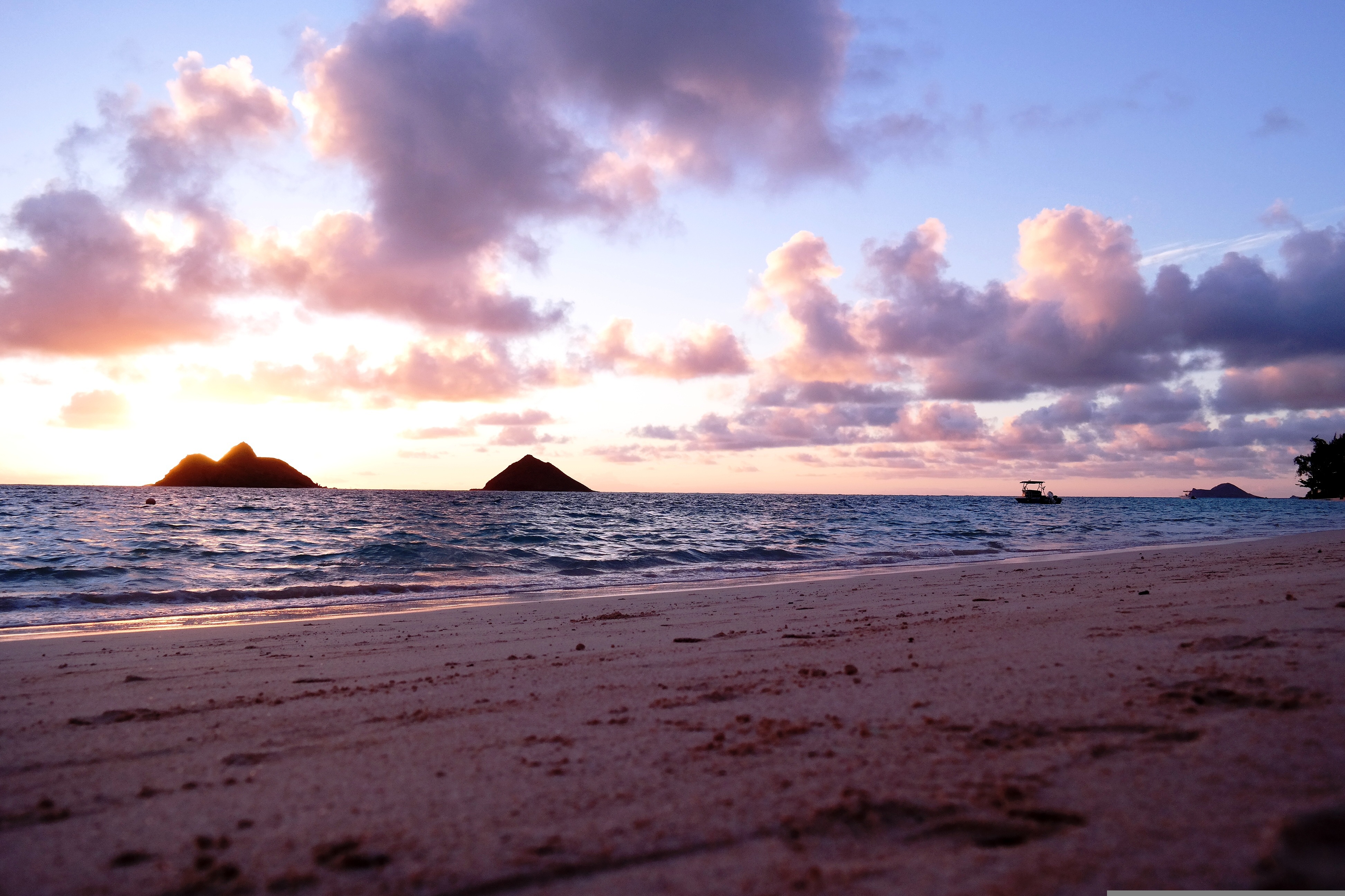
About Honolulu, Hawaii
Capital of Hawaii, and a popular tourist destination, Honolulu is known for surfing and water sports. However, there's more to the city than surfing; with museums, the only royal palace in the country, and a mall, there's bound to be something of interest for any visitor.
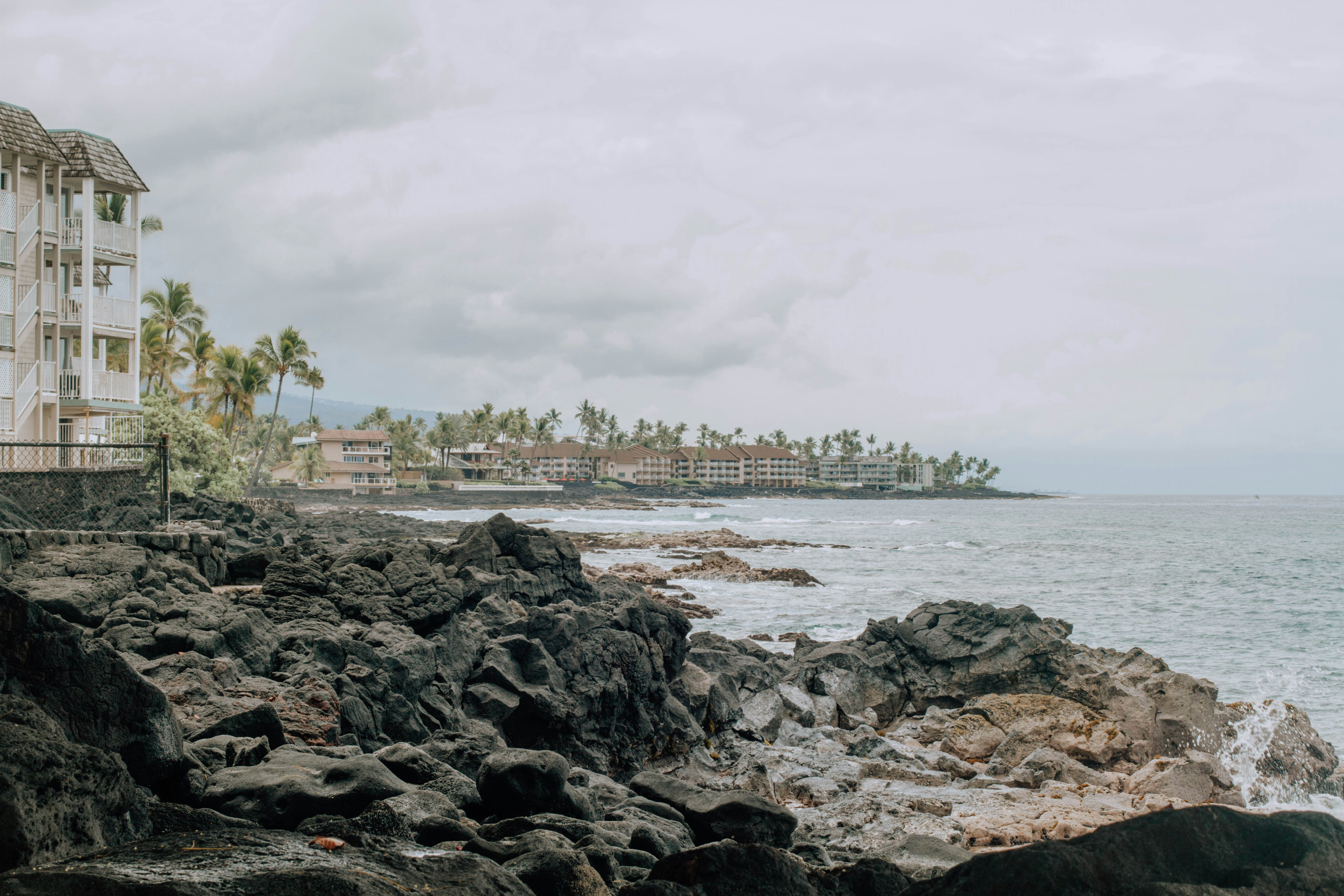
About Kailua-Kona, Hawaii
Kailua-Kona is a town on the west coast of Hawaii Island (the Big Island). Hulihee Palace is a former royal vacation home dating from 1838. Mokuaikaua Church, from the 1800s, is Hawaii’s oldest Christian church. On Kailua Bay, reconstructed thatched houses at Kamakahonu National Historic Landmark mark King Kamehameha I’s residence. Colorful coral lies off Kamakahonu Beach. Kailua Pier has boat moorings.
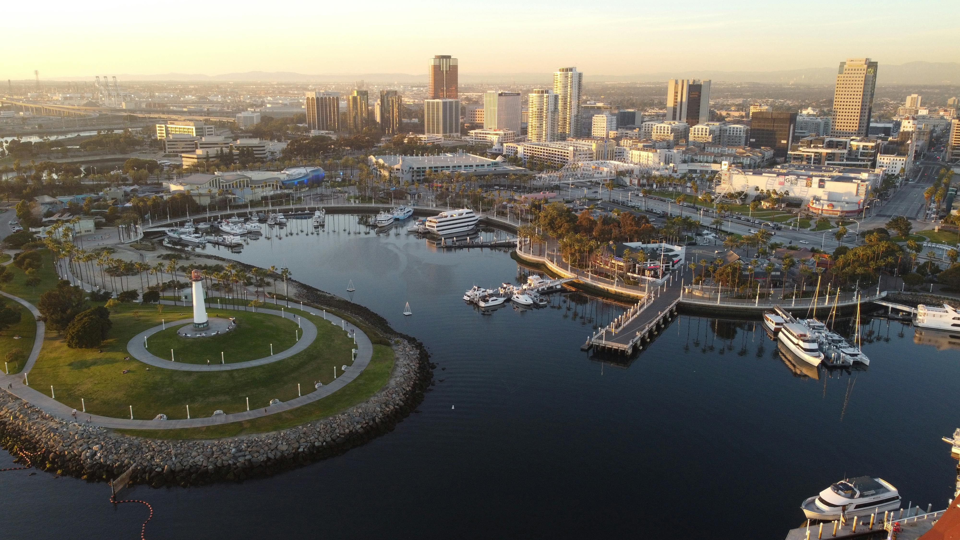
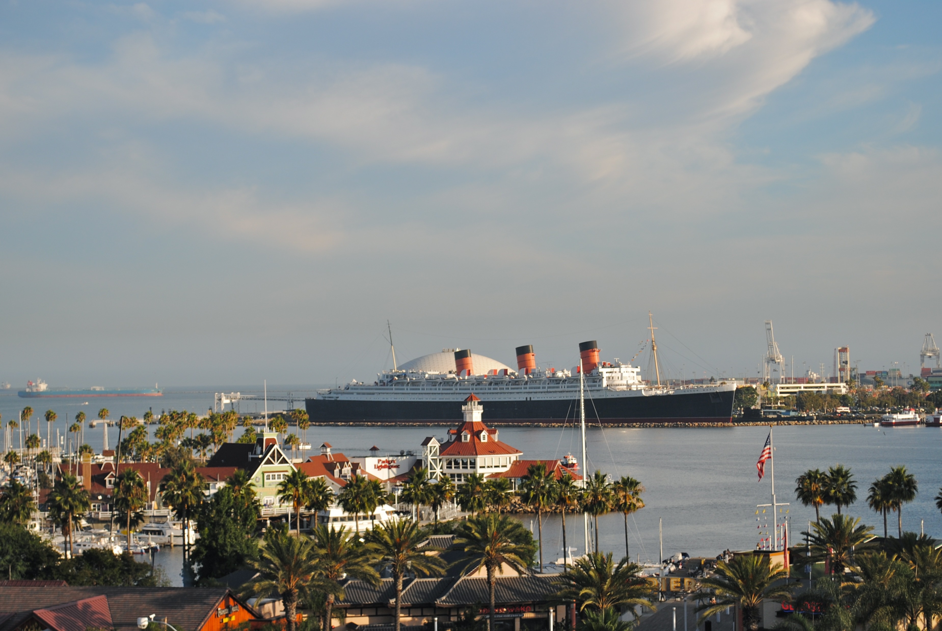
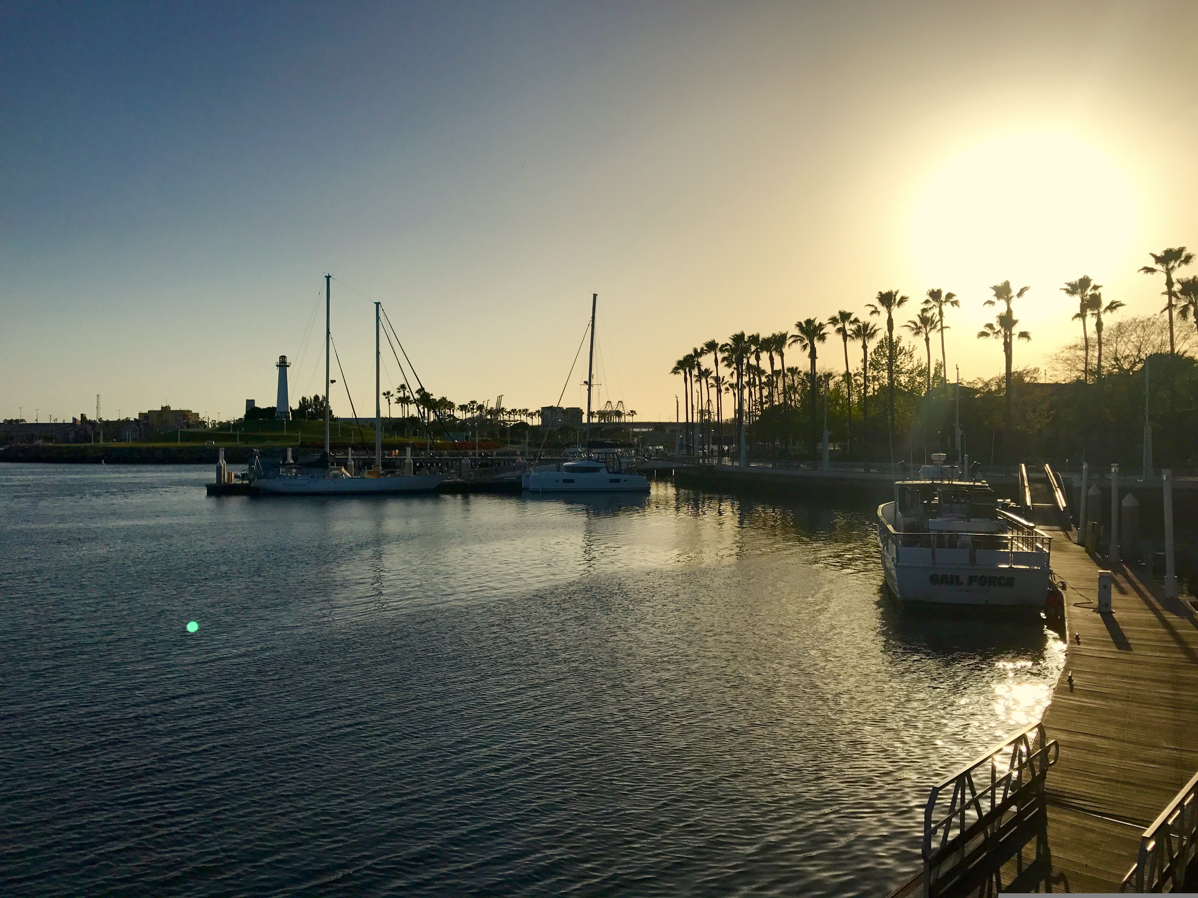
About Long Beach, California
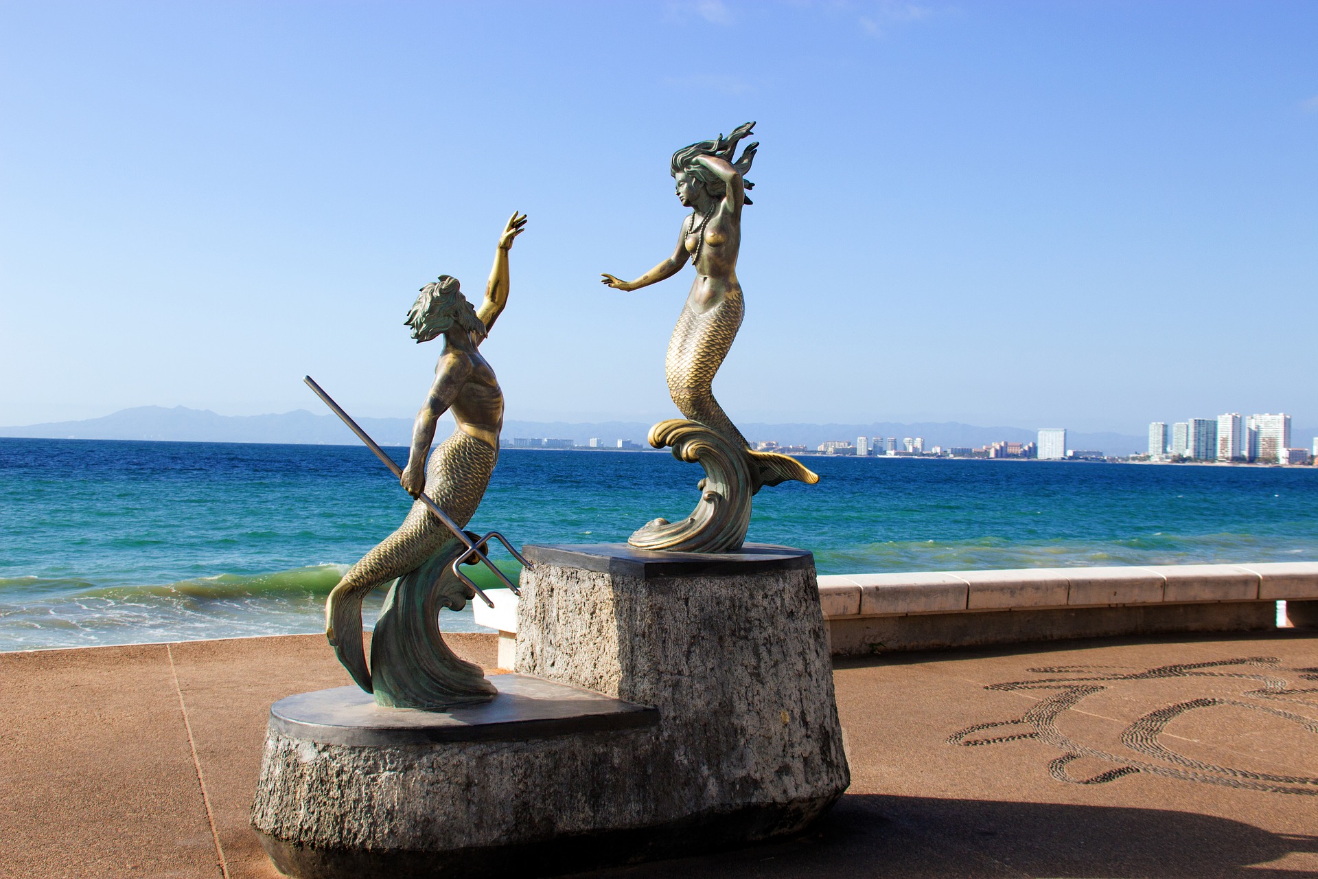
About Puerto Vallarta
Puerto Vallarta is a resort town on Mexico’s Pacific coast, in Jalisco state. It is known for its beaches, water sports and nightlife scene. Its cobblestone center is home to the ornate Nuestra Señora de Guadalupe church, boutique shops and a range of restaurants and bars. El Malecón is a beachside promenade with contemporary sculptures, as well as bars, lounges and nightclubs.
About Huatulco (Santa María Huatulco)
About Puerto Chiapas
About Puerto Quetzal
Puerto Quetzal is Guatemala's largest Pacific Ocean port. It is important for both cargo traffic and as a stop-off point for cruise liners

About Puntarenas
This town is not on the Nicoya Peninsula, but rather on Costa Rica's mainland. It is best known as a cruise-ship port and launching pad for ferries heading southeast to the coast of the Nicoya Peninsula and for cruises sailing out on the Gulf of Nicoya. Puntarenas is also a major fishing port with a lively fish market. The town’s reputation suffers from the unimpressive parts you see from your car as you roll through town on the way to the ferry dock. But the town has a lot of character off the main drag, thanks to its illustrious past as an affluent port town and principal vacation spot for San José's wealthy, who arrived by train in the last century. Once the port was moved and roads opened to other beaches, Puntarenas's economy crashed, but it's making a comeback. Sitting on a narrow spit of sand—punta de arenas literally means "point of sand"—that protrudes into the Gulf of Nicoya, the town boasts a beautifully groomed, wide Blue Flag beach with views of the Nicoya Peninsula and spectacular sunsets, along with a public swimming pool, the San Lucas Beach Club, and a marine-life museum. Ticos arrive by bus and car to enjoy the beach and stroll the Paseo de los Turistas, a beachfront promenade lined with tree-shaded concrete benches and seafood restaurants. Crowds of locals, called porteños, cruise by on bicycles, the town’s most popular form of transport.
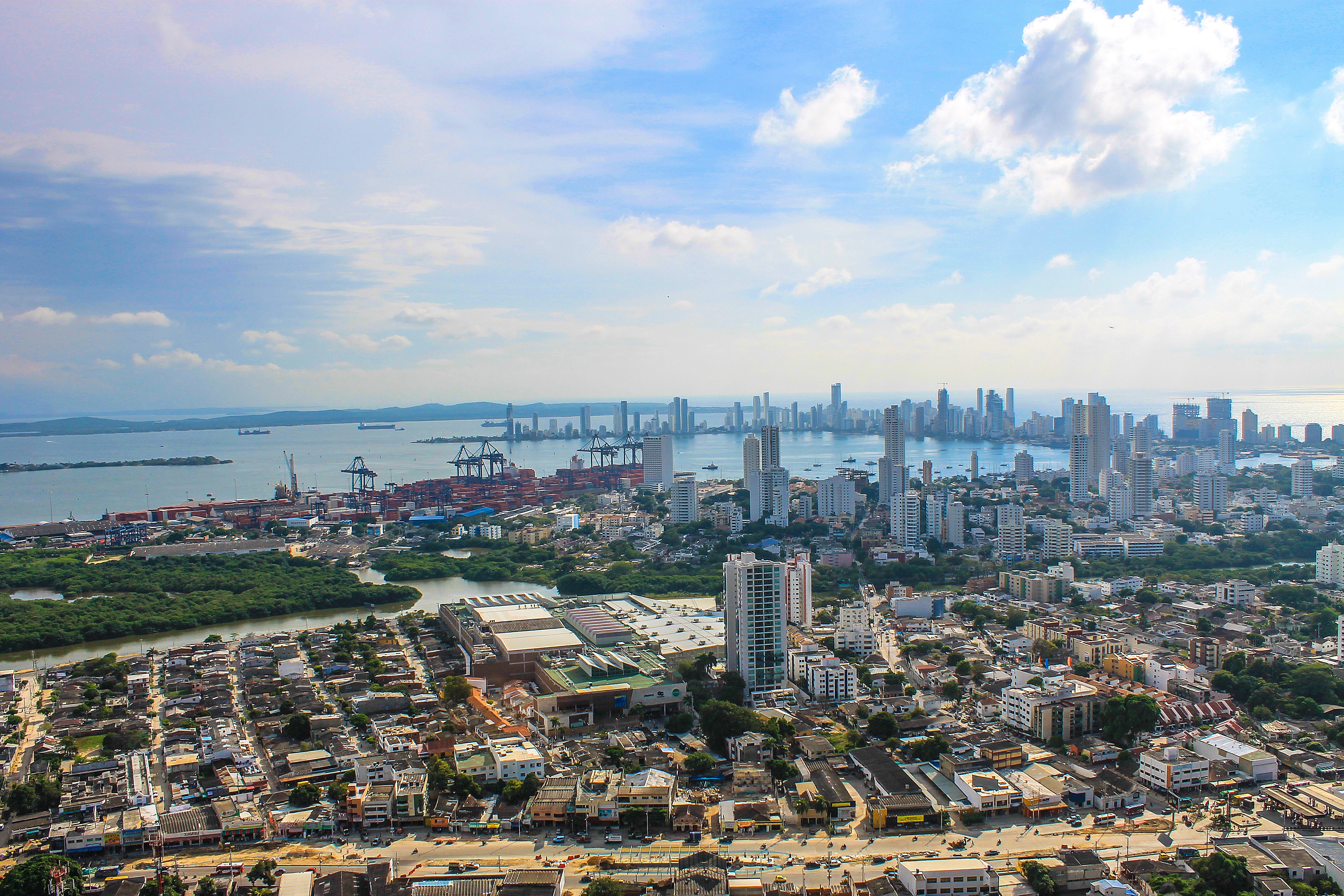
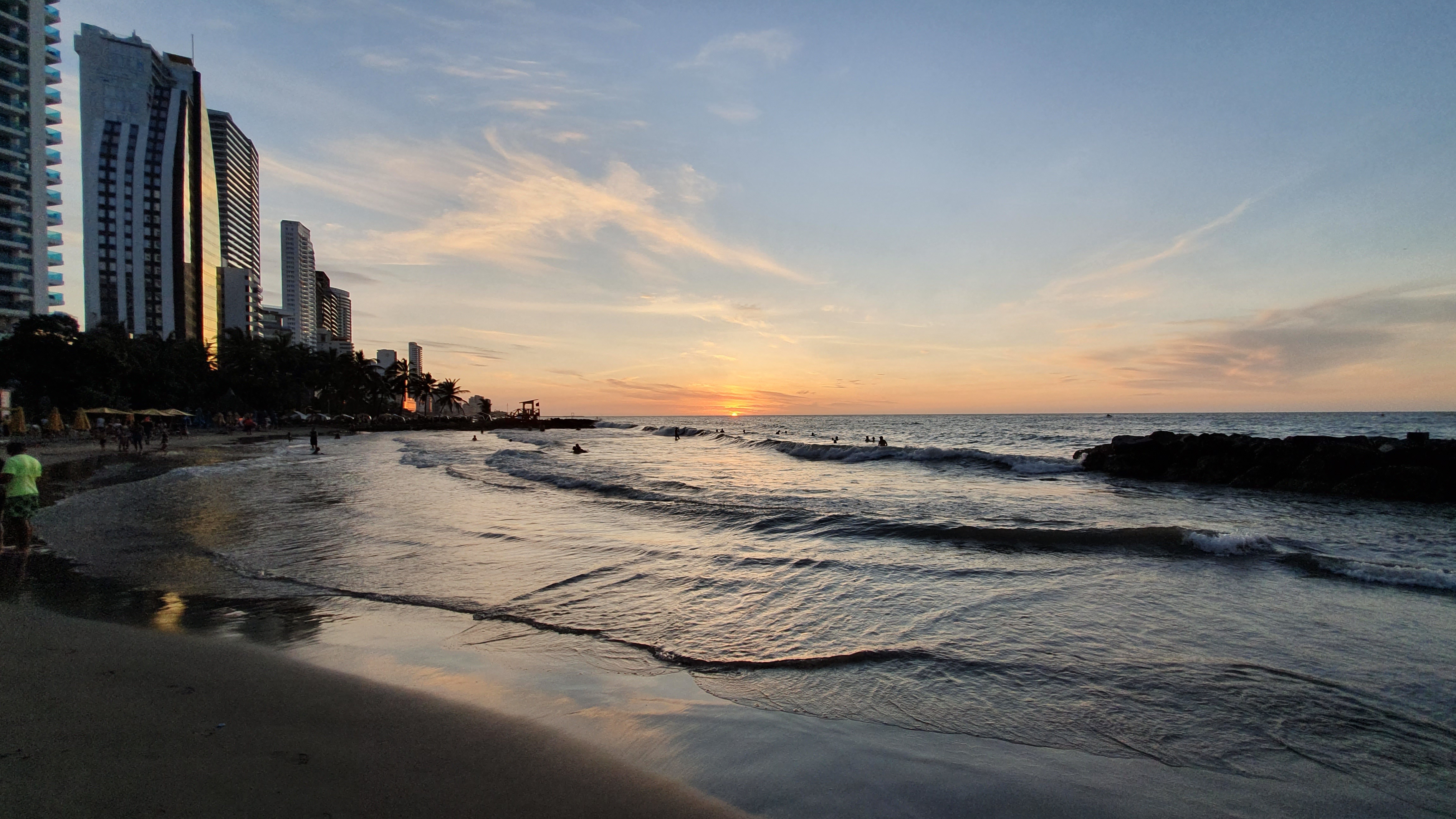
About Cartagena
Cartagena's magnificent city walls and fortresses, now a UNESCO World Heritage Site, enclose a well-restored historic center (the Cuidad Amurallada, or walled city) with plazas, churches, museums, and shops that have made it a lively coastal vacation spot for South Americans and others. New hotels and restaurants make the walled city a desirable place to stay, and the formerly down-at-the-heels Getsemaní neighborhood attracts those seeking a bohemian buzz. The historic center is a small section of Cartagena; many hotels are in the Bocagrande district, an elongated peninsula where high-rise hotels overlook a long, gray-sand beach.When it was founded in 1533 by Spanish conquistador Pedro de Heredia, Cartagena was the only port on the South American mainland. Gold and silver looted from indigenous peoples passed through here en route to Spain and attracted pirates, including Sir Francis Drake, who in 1586 torched 200 buildings. Cartagena's walls protected the city's riches as well as the New World's most important African slave market.
About Miami, Florida
Miami is one of the world’s most popular holiday spots. It has so much to offer; from its countless beach areas, to culture and museums, from spa and shopping days out, to endless cuban restaurants and cafes. Miami is a multicultural city that has something to offer to everyone.
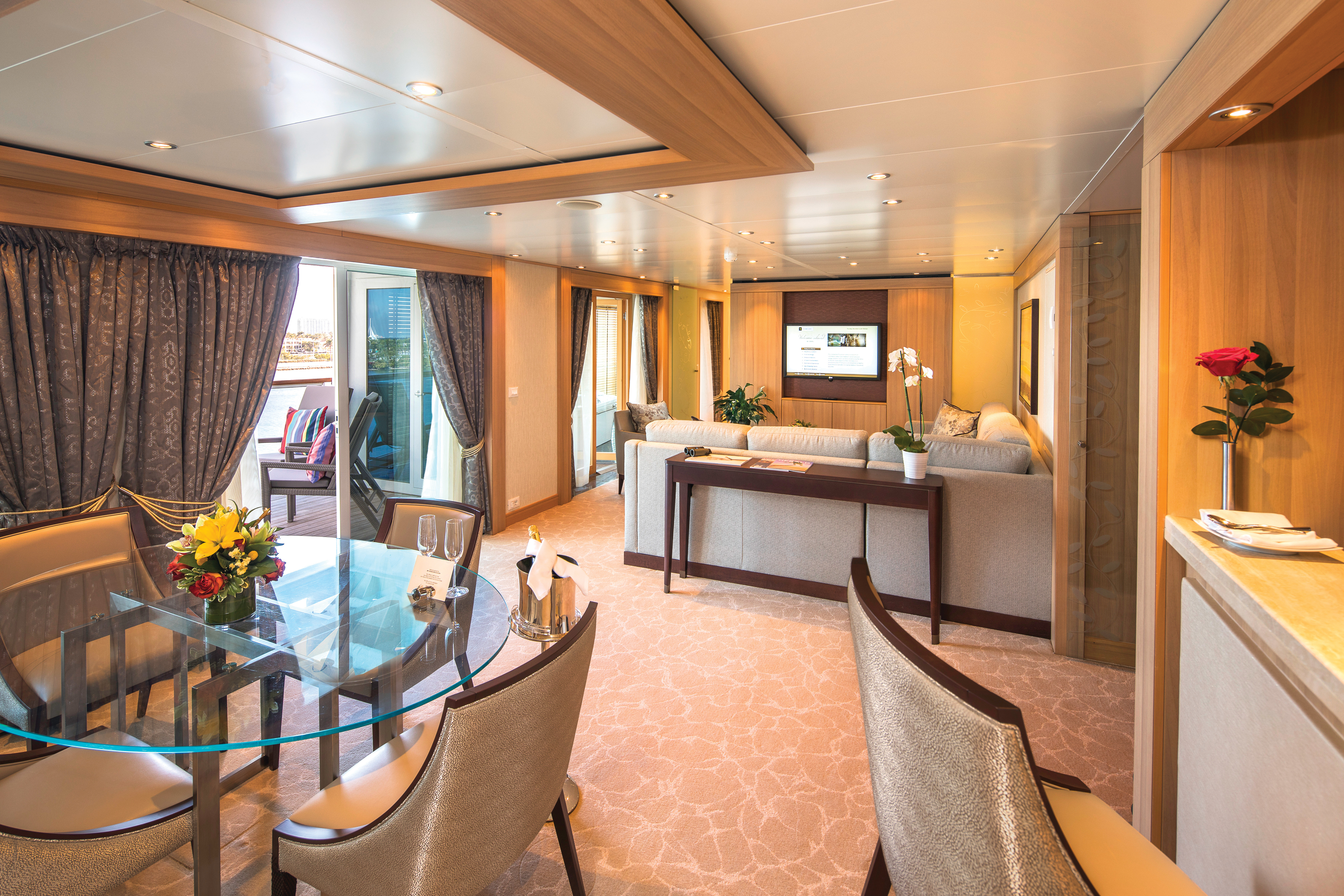
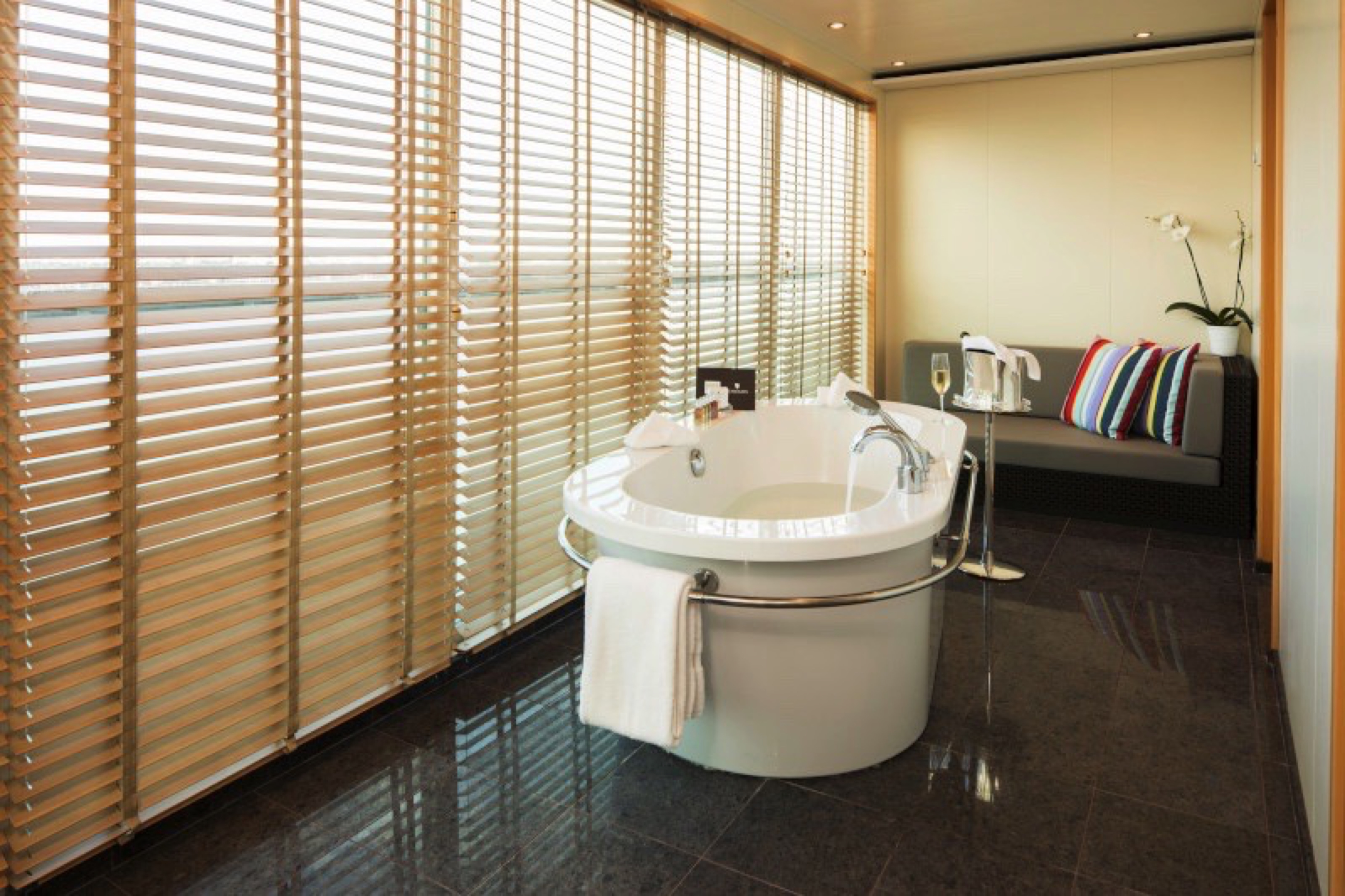
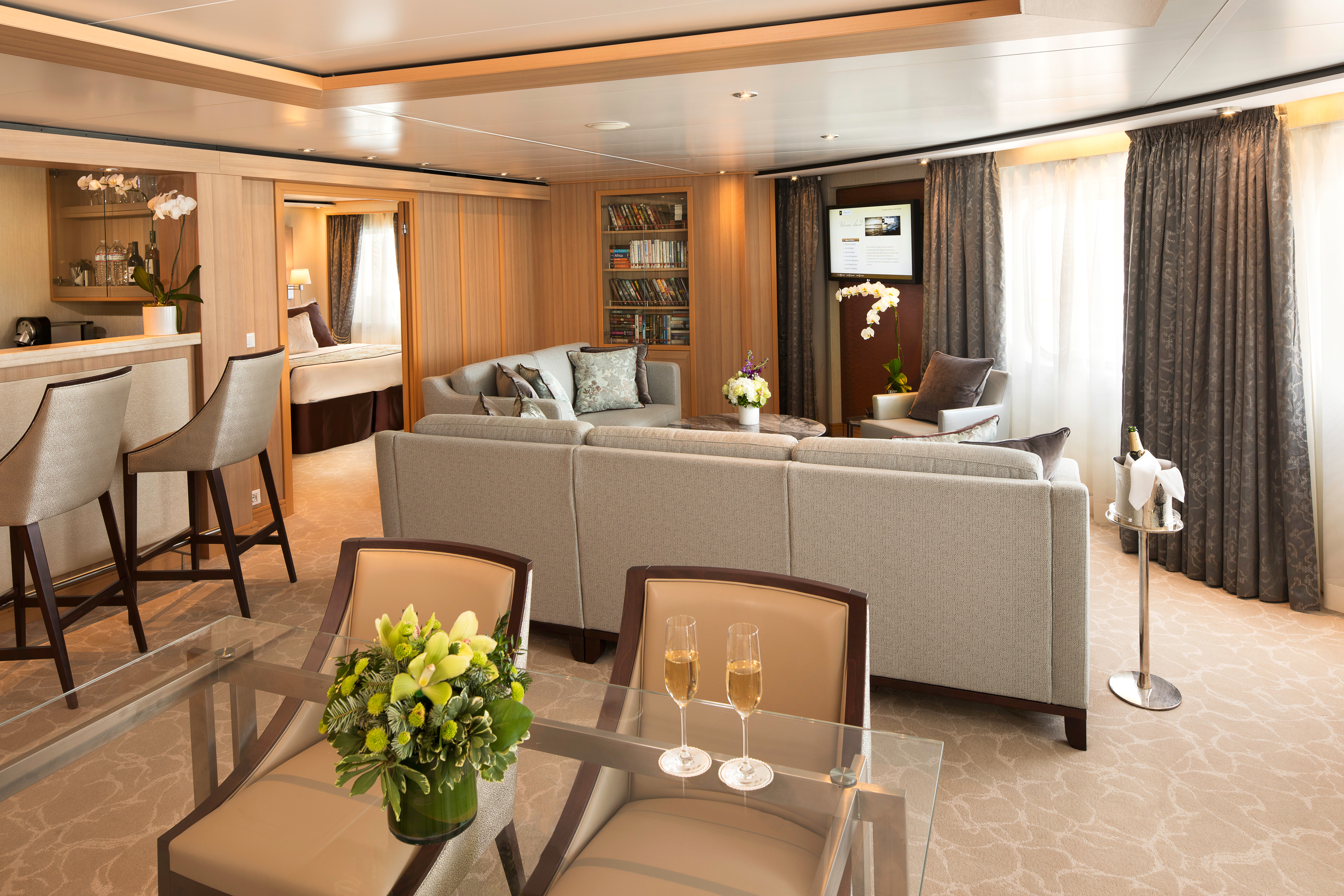
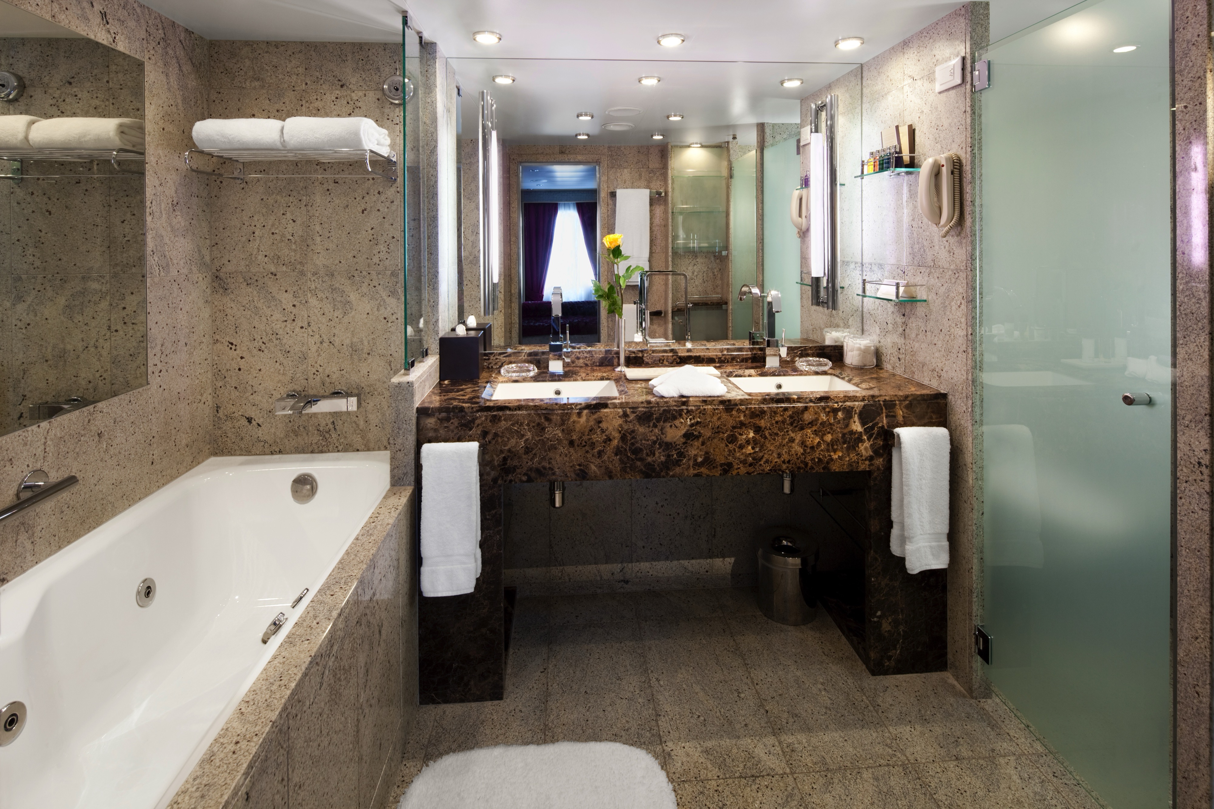
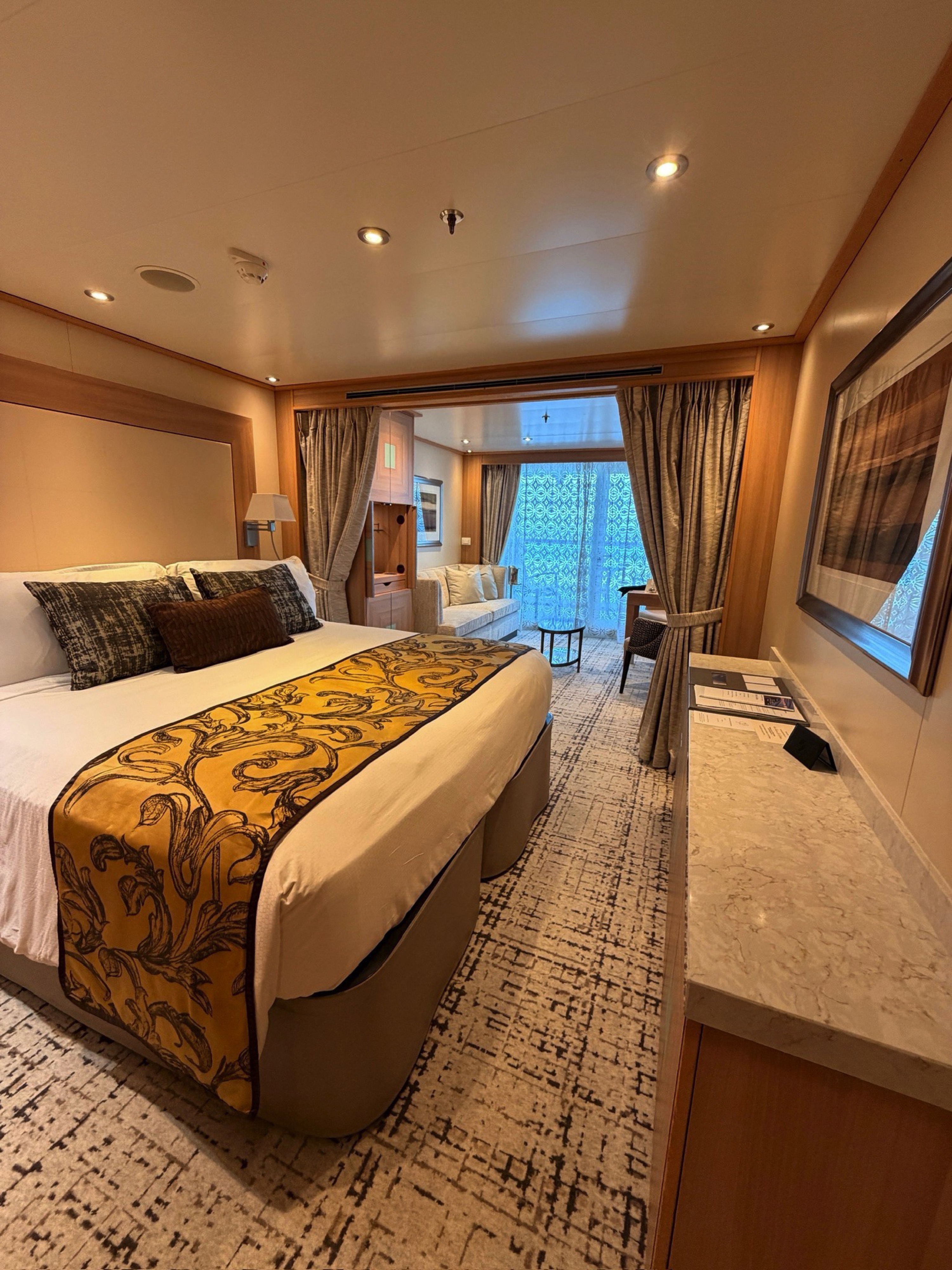
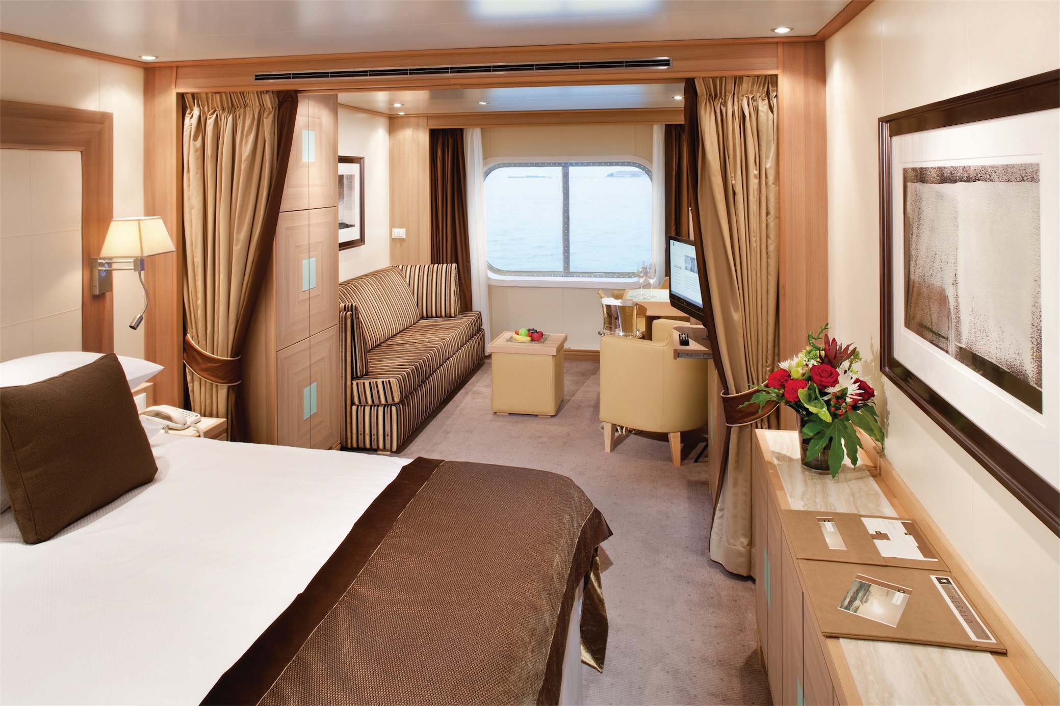
Suites on board feature a comfortable living area, private veranda, queen-size-bed or two twin beds; walk-in closet with personal safe, interactive flat-screen TV with music and movies, fully stocked bar and refrigerator, writing desk with personalized stationary, makeup vanity, spacious bathroom with separate tub and shower, plush robes, slippers hair dryer and 110/220V AC outlets.
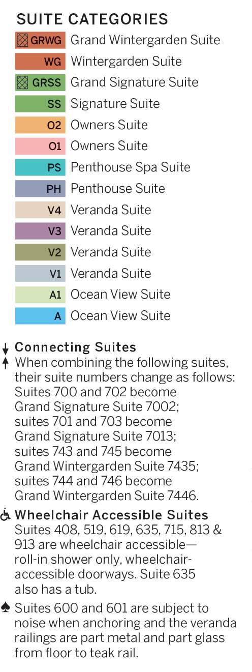
Grand Wintergarden Suites feature:
- Large windows
- Dining for four
- Glass-enclosed solarium with tub and day bed
- Bathroom with whirlpool bathtub
- Guest bath
- Two bedrooms
- Convertible sofa bed for one
- Pantry with wet bar
- Two flat-screen TVs
- Complimentary Internet/Wi-Fi service
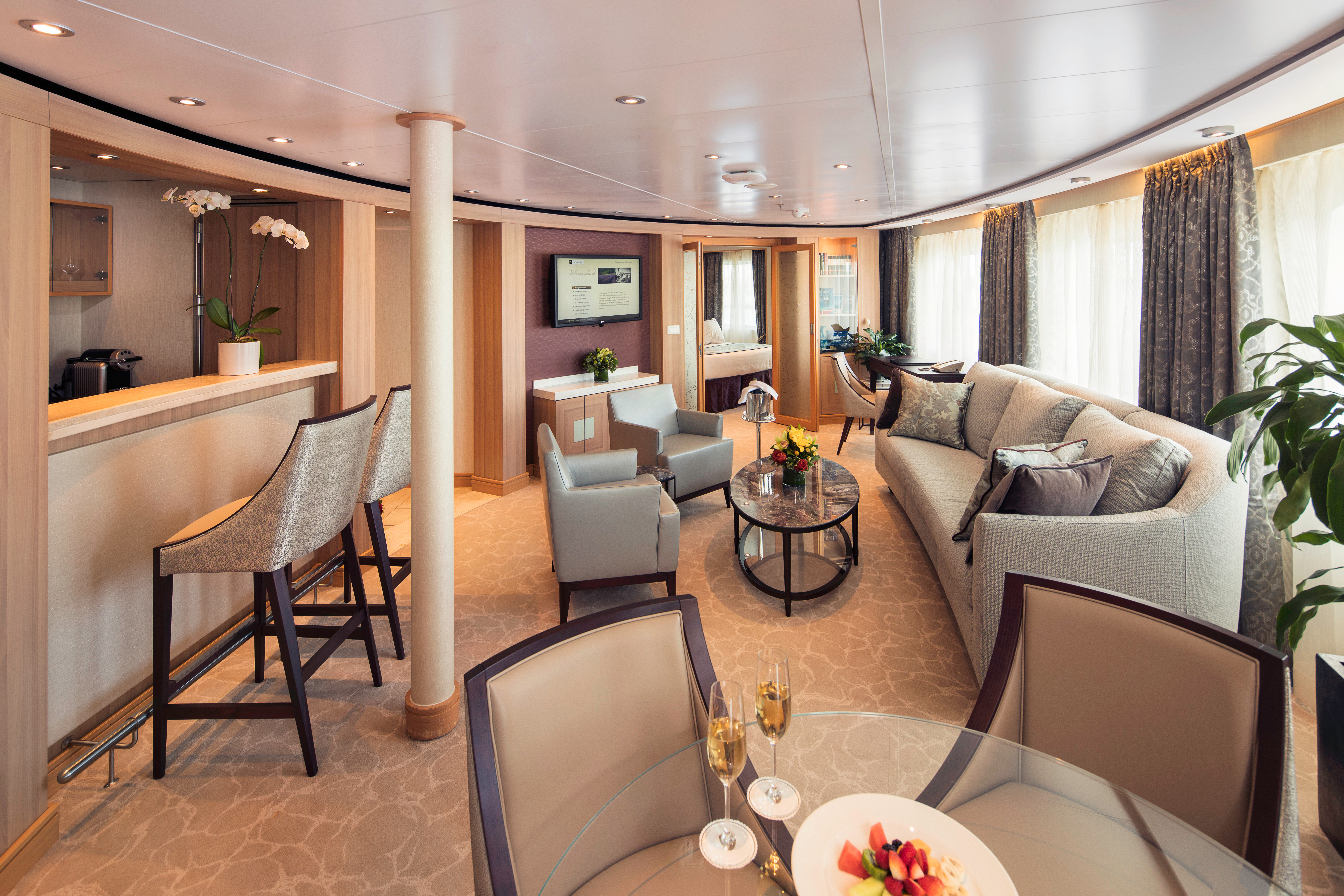
Suites on board feature a comfortable living area, private veranda, queen-size-bed or two twin beds; walk-in closet with personal safe, interactive flat-screen TV with music and movies, fully stocked bar and refrigerator, writing desk with personalized stationary, makeup vanity, spacious bathroom with separate tub and shower, plush robes, slippers hair dryer and 110/220V AC outlets.
Wintergarden Suites feature:
- Large windows
- Dining for four
- Bathroom with whirlpool bathtub
- Guest bath
- Convertible sofa bed for one
- Pantry with wet bar
- Glass-enclosed solarium with tub and day bed
- Two closets
- Two flat-screen TVs
- Complimentary Internet/Wi-Fi service
Suites on board feature a comfortable living area, private veranda, queen-size-bed or two twin beds; walk-in closet with personal safe, interactive flat-screen TV with music and movies, fully stocked bar and refrigerator, writing desk with personalized stationary, makeup vanity, spacious bathroom with separate tub and shower, plush robes, slippers hair dryer and 110/220V AC outlets.
Signature Suites feature:
- Expansive ocean views
- Forward-facing windows
- Dining for four to six
- Bathroom with whirlpool bathtub
- Guest bath
- Pantry with wet bar
- Two flat-screen TVs
- Complimentary Internet/Wi-Fi service
Suites on board feature a comfortable living area, private veranda, queen-size-bed or two twin beds; walk-in closet with personal safe, interactive flat-screen TV with music and movies, fully stocked bar and refrigerator, writing desk with personalized stationary, makeup vanity, spacious bathroom with separate tub and shower, plush robes, slippers hair dryer and 110/220V AC outlets.Owner's Suite features
- Expansive ocean views
- Glass door to private veranda
- Comfortable living area
- Separate bedroom
- Queen-size bed or two twin beds
- Walk-in closet
- Dining for four
- Pantry with wet bar
- Two flat-screen TVs
- Complimentary Internet/Wi-Fi service.
- Guest bath
- Makeup vanity
- Bathroom with whirlpool bathtub
*Wheelchair accessible suites are roll-in shower only.
Suites on board feature a comfortable living area, private veranda, queen-size-bed or two twin beds; walk-in closet with personal safe, interactive flat-screen TV with music and movies, fully stocked bar and refrigerator, writing desk with personalized stationary, makeup vanity, spacious bathroom with separate tub and shower, plush robes, slippers hair dryer and 110/220V AC outlets.
All Penthouse Spa Suite feature:
- A full-length window
- Glass door to private veranda
- Comfortable living area
- Separate bedroom
- Queen-size bed or two twin beds
- Dining table for two to four
- Walk-in closet
- Two flat-screen TVs
- Fully stocked bar and refrigerator
- Makeup vanity
- Spacious bathroom with separate tub and shower
*Wheelchair accessible suites are roll-in shower only.
All Penthouse Suites on board feature a comfortable living area, glass door to private veranda, queen-size-bed or two twin beds; walk-in closet with personal safe, two flat-screen TV with music and movies, fully stocked bar and refrigerator, writing desk with personalized stationary, makeup vanity, spacious bathroom with separate tub and shower, plush robes, slippers hair dryer and 110/220V AC outlets
All Penthouse Suite feature
- Dining table for two to four
- Separate bedroom
- Glass door to veranda
- Two flat-screen TVs
- Fully stocked bar
- Spacious bathroom with tub, shower and large vanity
Approximately 436 square feet (41 square meters) of inside space, plus one veranda of 98 square feet (9 square meters)
Guaranteed Suite: For this option we select the location and specific suite for you, and notify you prior to departure. Guests are guaranteed to be assigned a suite in the category selected or higher.
All Penthouse Suite feature:
- Dining table for two to four
- Separate bedroom
- Glass door to veranda
- Two flat-screen TVs
- Fully stocked bar
- Spacious bathroom with tub, shower and large vanity
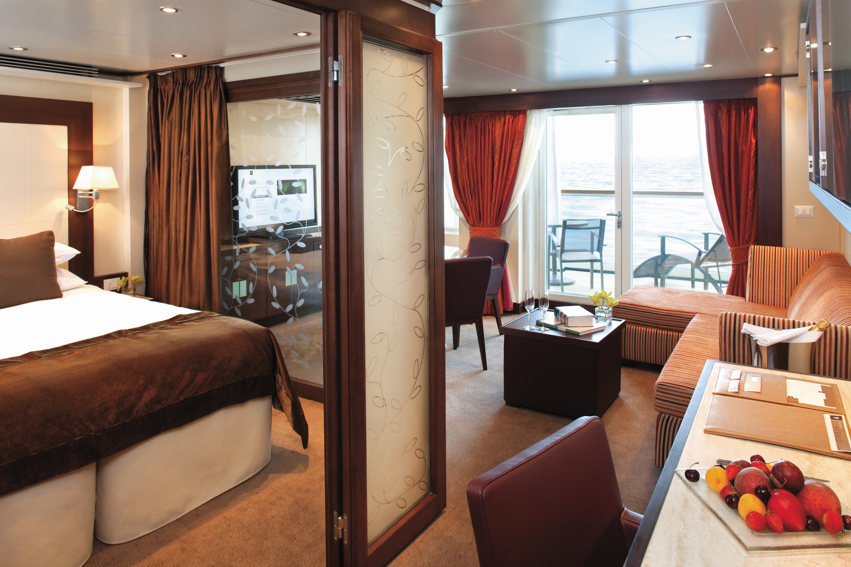
All Veranda Suites feature a full-length window and glass door to private veranda, comfortable living area, queen-size bed or two twin beds, dining table for two, walk-in closet, interactive flat-screen television with music and movies, fully stocked bar and refrigerator, makeup vanity, spacious bathroom with separate tub and shower.
All Veranda Suites feature:
- A full-length window
- Glass door to private veranda
- Comfortable living area
- Queen-size bed or two twin beds
- Dining table for two
- Walk-in closet
- Interactive flat-screen television with music and movies
- Fully stocked bar
- Makeup vanity
- Spacious bathroom with separate tub and shower
*Wheelchair accessible suites are roll-in shower only.
All Veranda Suites feature a full-length window and glass door to private veranda, comfortable living area, queen-size bed or two twin beds, dining table for two, walk-in closet, interactive flat-screen television with music and movies, fully stocked bar and refrigerator, makeup vanity, spacious bathroom with separate tub and shower.
Guaranteed Suite: For this option we select the location and specific suite for you, and notify you prior to departure. Guests are guaranteed to be assigned a suite in the category selected or higher.
All Ocean View Suites feature a large picture window, comfortable living area, queen-size bed or two twin beds, dining table for two, walk-in closet, interactive flat-screen television with music and movies, fully stocked bar and refrigerator, makeup vanity, spacious bathroom with separate tub and shower. Approximately 295 sq. ft. (28 sq.m.) of inside space
- A large picture window
- Comfortable living area
- Queen-size bed or two twin beds
- Dining table for two
- Walk-in closet
- Interactive flat-screen television with music and movies
- Fully stocked bar and refrigerator
- Makeup vanity, spacious bathroom with separate tub and shower
*Wheelchair accessible suites are roll-in shower only.
All Ocean View Suites feature a large picture window, comfortable living area, queen-size bed or two twin beds, dining table for two, walk-in closet, interactive flat-screen television with music and movies, fully stocked bar and refrigerator, makeup vanity, spacious bathroom with separate tub and shower. Approximately 295 sq. ft. (28 sq.m.) of inside space
Guaranteed Suite: For this option we select the location and specific suite for you, and notify you prior to departure. Guests are guaranteed to be assigned a suite in the category selected or higher.
Guaranteed Suite: For this option we select the location and specific suite for you, and notify you prior to departure. Guests are guaranteed to be assigned a suite in the category selected or higher.
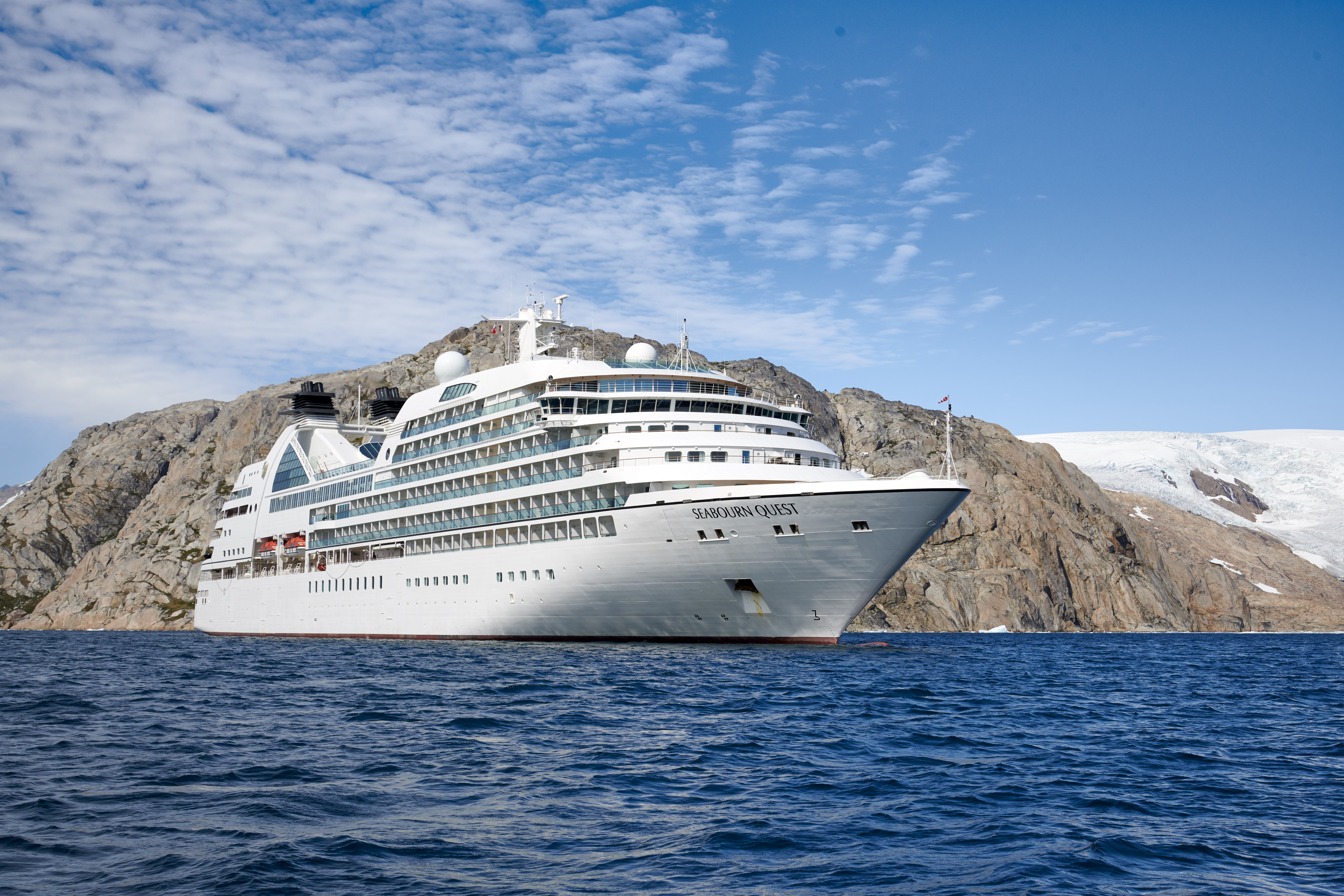
Seabourn Quest
Seabourn Quest is the third iteration of the vessel design that has been called “a game-changer for the luxury segment.” True to her Seabourn bloodlines, wherever she sails around the world Seabourn Quest carries with her a bevy of award-winning dining venues that are comparable to the finest restaurants to be found anywhere. Seabourn Quest offers a variety of dining options to suit every taste and every mood with never an extra charge.
Experience Seabourn Quest
Seabourn Quest (launched 2011), an oceangoing ship with a passenger capacity of just 458 guests, offers spacious accommodations spanning categories ranging in size from 295 to 1,182 square feet of indoor space. Verandas add an additional 65 to 558 square feet of outdoor living area spacious enough for private al fresco dining. All suites feature a comfortable living area, walk-in closet, fully stocked bar and refrigerator filled with seaside favorites. Expansive ocean views are framed by either a picture window or the glass doors of the veranda.
Ship Facts
| Launch Year | 2011 | ||||||||
| Refit Year | 2026 | ||||||||
| Language | en | ||||||||
| Gross Tonnage | 32000 | ||||||||
| Length | 198 | ||||||||
| Width | 26 | ||||||||
| Currency | USD | ||||||||
| Speed | 19 | ||||||||
| Capacity | 458 | ||||||||
| Crew Count | 330 | ||||||||
| Deck Count | 10 | ||||||||
| Cabin Count | 229 | ||||||||
| Large Cabin Count | 10 | ||||||||
| Wheelchair Cabin Count | 7 | ||||||||
| Electrical Plugs |
|
To see the legend for these deck plans, please hover your mouse over the images below
To toggle the legend for these deck plans, please tap on any of the images below
Deck 11
- The Retreat
- Sun Terrace

Deck 10
- Observation Bar
- Penthouse Suite
- Veranda Suite
- Penthouse Spa Suite

Deck 9
- Bridge
- Sky Bar
- Fitness Centre
- Motion Studio
- Spa & Wellness Area
- Salon
- Treatment Rooms
- Penthouse Suites
- Veranda Suites (x1 Accessible Suite)

Deck 8
- The Patio
- Patio Bar
- Whirlpools
- Pool
- The Grill by Thomas Keller
- The Colonnade
- Owner's Suites
- Veranda Suites (x1 Accessible Suite)

Deck 7
- Card Room
- The Collection
- Shops
- Coffee Bar
- Seabourn Square
- Grand Wintergarden Suite
- Wintergarden Suite
- Grand Signature Suites
- Signature Suites
- Owner's Suites
- Veranda Suites (x1 Accessible Suite)

Deck 6
- Whirlpool
- Grand Salon
- Owner's Suites
- Veranda Suites
- Penthouse Suite (x1 Accessible Suite)

Deck 5
- Meeting Rooms
- Casino
- Club Bar
- The Club
- Pool
- Whirlpools
- Veranda Suites (x1 Accessible Suite)

Deck 4
- The Restaurant
- Galley
- Ocean View Suites (x1 Accessible Suite)

Deck 3
- Medical Facility

Deck 2
- Marina

Seabourn’s award-winning cuisine starts with the finest quality ingredients, infused with authentic regional flavors, prepared á la minute by our skilled chefs and served with pride. Each Seabourn ship offers a choice of dining venues to suit your mood of the moment, and nearly all are open-seating, inviting you to dine where, when and with whom you wish. Complimentary fine wines are poured with lunch and dinner, and there is never an extra charge for any dining choice. You can even enjoy a meal in your suite or on your veranda, with our compliments. Seabourn is a proud member of Chaîne des Rôtisseurs, one of the world’s most prestigious gastronomic societies devoted to the art of fine dining.
The Patio
Relaxed poolside dining offering luncheon buffets, salads, soups, grilled specialties and freshly baked pizza. Dinners feature a full menu in an alfresco setting.
Solis
Offering light, modern Mediterranean cuisine bursting with color and character, prepared fresh and entirely from scratch.
Solis will showcase a vibrant, chic atmosphere with feel-good background music and a menu reminiscent of our favorite travel memories. Solis was developed in collaboration with longtime Seabourn partners, Master Chef and Culinary Partner Chef Anton Egger, and Senior Corporate Chef Franck Salein. Chef Egger and Chef Salein are the culinary masterminds behind two of Seabourn’s most popular dining concepts – Earth & Ocean and Sushi.
Beyond the culinary, guests will be able to indulge in a truly sophisticated experience with Seabourn’s newly presented, refined vintage cocktail menu, featuring an allure of classic cocktails crafted to perfection. From classics such as the Kir Royale or Mauresco to the always — and most popular — Aperol Spritz, our team of talented mixologists have meticulously curated this menu to ensure that every drink is a masterpiece of flavors and aesthetics.
An evening at Solis is designed to delight our guests and leave them with lasting Seabourn Moments.
The Restaurant
Before Seabourn, open-seating dining on a cruise ship was unheard of. Come when you like, with whom you please, and be seated as you wish. The room is beautiful, the cuisine is exquisite, and the service is simultaneously flawless, friendly and fun.
The Colonnade
Our more casual, indoor/outdoor alternative, features an open kitchen, lavish buffets or table service for breakfasts and lunch, and serves regionally themed, bistro-style dinners with table service nightly.
In-Suite Dining
Seabourn is pleased to offer a varied menu available around the clock for service in your suite. You may also order dinner from The Restaurant menu and have your meal served, course by course, in your suite or on your veranda.
Earth & Ocean
Each evening, our skilled Earth & Ocean chefs create an imaginative array of fresh, inventive dishes—a sophisticated menu celebrating eclectic traditional flavors from around the world, served in a relaxed setting under the stars for a distinctive dining experience unlike any other on board.
Sushi
Seabourn researched the best ingredients and developed a menu that is a perfect blend of authenticity to maintain the root of the cuisine, and a twist of Seabourn’s culinary expertise. The sushi concept is a modern line that is steeped in tradition using the finest ingredients. Hamachi, tuna, shrimp and other fresh fish products will be shipped from Japan to Sushi and served à la carte for dinner. The menu features caviar and small plates, along with a selection of maki rolls, sushi and sashimi, and salads. In addition, the restaurant will feature three varieties of bento boxes for lunch: meat, seafood and vegetarian.
The Seabourn sushi experience is available in our traditional sushi restaurant aboard Seabourn Ovation and Seabourn Encore.
Seabourn Sojourn, Seabourn Quest, Seabourn Venture, and Seabourn Pursuit offer Sushi in The Club, serving a variety of light sushi bites freshly made to order each evening.
Explore Seabourn's diverse array of onboard experiences. Whether you seek indulgent afternoon pastimes, social hubs perfected for meeting new friends, or intriguing presentations with captivating people... we can't wait to welcome you onboard.
Make yourself at home with delightful daily diversions that add to our fleet’s private yacht-like atmosphere. Connect with fellow travelers in Seabourn Square or rise to the challenge in a game of trivia. Embrace this moment and indulge– spending the day pampering yourself in the spa or sipping your favorite cocktail poolside. Dress for a night out and enjoy evenings of fine dining, socializing in the club, and dancing under the stars.
Seabourn Square
Whether you're looking for a place to enjoy your newspaper in the morning or want to socialize with your fellow passengers, Seabourn Square is what you're looking for. This inviting lounge offers plush seating, cocktail tables, a library, computer terminals, a coffee bar, and Guest Services staff.
Seabourn Square is the true ‘living room’ of the ships. An inviting sociable space where guests will find a charming European style coffee bar, Seabourn Square has been designed as an open, comfortable environment for guests to interact with onboard officers and the expedition team and engage in conversation with family and new friends. The space is also home to the highly-trained Guest Services staff, who provide a range of concierge services such as general ship information, assistance with special service requests, port and travel information, and more.
A selection of coffees are prepared by the skilled onboard baristas some using beans roasted in Seabourn Square. For those feeling a bit hungry, Seabourn Square offers freshly made pastries and other on-the-go breakfast items in the morning, as well as an assortment of light sandwiches and desserts later in the day, along with a selection of artisanal gelati made on board. Guests will also find a wide range of books in the adjoining library, with a host of titles on subjects such as adventure, expeditions and other topics of interest to enjoy while onboard. Staying current with the news is made easy with tablets featuring the Press Reader news application available to browse each day.
The Retreat
A tranquil setting housed in a distinctive flower-shaped canopy that shields guests from sun and wind, The Retreat is ringed with 15 private cabanas designed as individual luxury living rooms that each feature a large HD flat screen television and a refrigerator stocked with a personalized selection of beverages. An additional Spa Treatment Cabana is also available for guests to enjoy personalized spa services, subject to availability. For additional details or reservation, log in and customize your itinerary.
The Retreat is located around a central whirlpool with step-up access to water maintained at an inviting temperature. Up to 28 guests can stretch out on comfortable sun loungers; pull up a bar stool or take a table seat for champagne and cocktails custom created by Seabourn mixologists; or enjoy a selection of bites from a healthy spa menu. A selection of amenities include fresh fruit baskets, plush towels and personalized bathrobes, while a dedicated Retreat Concierge will be available to satisfy guest requests.
Cabanas at The Retreat will be available daily and may be reserved for a full day via the Guest Service Specialists at Seabourn Square.
Sun Terrace
The Sun Terrace features double sun loungers. Slow things down and soak up the sun as you relax on a luxurious lounger.
Grand Salon
The ship’s main showroom can accommodate all guests, though it seldom does because of the variety available. Lectures, cooking demonstrations, movies and other gatherings are held here in the daytime. In the evenings, live music for dancing before dinner gives way to vocal production shows, cabaret performances, comedy, and classical recitals, as well as more dancing later.
Casino
World's Finest Ultra-Luxury Cruise Line™
The Seabourn casino offers a handsome, well-appointed enclave for those attracted to games of chance and skill. Relax and test the odds on various mechanical games or pit your skills against personable, professional dealers at blackjack or poker tables.
Evenings Under The Stars
One of the most FUN evenings during any cruise, Evenings Under the Stars is a night where guests can let their hair down and simply be in the moment. Enjoy Let’s Dance! with great live music, interact with fellow travelers and be spoiled in true Seabourn style by our food and beverage team with Desserts Under the Stars. A signature event, this dance party has been a part of the line’s rich culture, and a Seabourn cruise is not complete without Let’s Dance! and Desserts Under The Stars.
Weather permitting, this high-energy dance party is hosted poolside and under the stars by the entire entertainment team, featuring performances by The Band, vocalists and dancers. There is even the possibility your Cruise Director and Assistant Cruise Director might jump on stage to perform, as well! Guests can expect music that appeals to everyone’s taste with a great mix of hit songs. It’s a real treat and guests LOVE Evenings Under the Stars!
Observation Bar
Guests find coffee and tea in this ship-top location and many return for an elegant afternoon Tea Time*, evening tapas, and cocktails.
Tea Time is offered on select days during your cruise or expedition.
Not available on board Seabourn Venture and Seabourn Pursuit
Sky Bar
The Sky Bar on our expedition ships is a place to enjoy a refreshing tropical beverage during the day, or an evening cocktail under the stars. Two small whirlpool spas bracket the open terrace.
Card Room
Many veteran cruisers specifically choose cruises that provide at least a few days at sea. The Card Room is a great choice for the sea-loving cruiser who craves that languorous feeling of lazy leisure. There will be loads of on board activities during those days, including a great game of bridge.
Coffee Bar
Enjoy a specialty crafted espresso just the way you like it.
The Club
The liveliest lounge on board is a popular spot for pre-dinner drinks and dancing to live music. After dinner, the dancing music continues, and later a DJ spins dance music until late at night. Another terrace of open deck aft of The Club boasts the Sky Bar and two small whirlpool spas.
Seabourn Venture and Seabourn Pursuit also offer Sushi in The Club serving a variety of light sushi bites freshly made to order each evening.
Onboard Shopping
Whether you're buying souvenirs for your friends at home or want a memento of your vacation, our Shops will have what you need. Shop for fashion and cosmetics at The Boutique, jewelry and fine watches at The Collection, or logo cruisewear at the Shop.
Zero @ Sea
A Zero-proof cocktail experience featuring a unique array of non-alcoholic cocktails
Zero @ Sea offers an inventive menu of mixology cocktails, with ingredients and flavors free of alcohol, such as elderflower, bursts of fresh citrus, botanical spirits, and more.
Zero @ Sea cocktails are available fleetwide in all bars and lounges aboard the ships together with an upgraded selection of nonalcoholic wines, sparkling wines, and beers.
The new cocktails were developed by Seabourn’s expert culinary and beverage team, led by Michael Simon, senior manager of restaurant and bar operations, and Francisco Fernandes, corporate manager service operations.
An Evening With Tim Rice
Seabourn is proud to have an exclusive partnership with Tim Rice, the acclaimed English musical theatre lyricist of Broadway, West End and film, winner of three Oscars, three Tonys, three Golden Globes and several Grammys. In addition, we are pleased to present his successful production, “An Evening with Tim Rice,” is now playing on all Seabourn ships. The show, in association with Belinda King Creative Productions and directed by Belinda King, first debuted in January 2017 on the inaugural voyage of Seabourn Encore and is now part of the evening entertainment repertoire on board Seabourn Sojourn and Seabourn Quest.
“An Evening with Tim Rice” is a concert-style presentation narrated via video by Rice to highlight some of his most loved work – from Jesus Christ Superstar to Aladdin and The Lion King . The show also includes a number from Chess called “One Night in Bangkok,” and a broad “Circle of Life” finale. The production is enhanced through anecdotes and visuals from Rice’s personal archive, and audiences will learn how each song came to life as they are drawn into the mind of one of the world’s most iconic songwriters.
Additional cast members have joined the show during the rollout, many of whom have extensive professional experience performing on Broadway and the West End theaters. They include Dayle Hodge, who just finished playing Frankie Valli in the hit West End musical, Jersey Boys; JC McCann, who starred as Joseph in Jersey Boys on the Broadway tour; Rachel Jerram, who appeared in Avenue Q in both the West End and U.K. tour; Matias Polar; who appeared in FAME on the U.S. tour; and Ellie Ann, who performed in Saturday Night Fever in the U.K. national tour.
Tim’s much-loved work has given pleasure to millions around the world: Joseph and the Amazing Technicolour Dreamcoat; Jesus Christ Superstar and Evita (with Andrew Lloyd Webber); Chess (with Bjorn Ulvaeus and Benny Andersson of ABBA); Aladdin and Beauty and the Beast (with Alan Menken) and The Lion King (with Elton John) - to name a few. In 1994 Tim was knighted by Her Majesty Queen Elizabeth II for services to music and in 2008 his star joined the Hollywood Walk of Fame. ‘An Evening with Tim Rice’ will be a concert-style presentation narrated throughout by Tim himself taking us on a musical journey through some of his best-known work.
The production features the four Seabourn Encore Singers and includes anecdotes and visuals from his personal archive. Audiences in the Grand Salon on board every ship will learn how each song came to life as they are drawn into the mind of one of the world’s most respected and iconic songwriters. “This is a first for me, it’s been an amazing experience, looking back over my career and the friendships that shaped it,” said Tim Rice. “The result is a show that you won’t find anywhere else. I’ve been lucky that my work has been shown around the world, so I love the idea of this production circumnavigating the globe on the high seas on board Seabourn’s beautiful ships.”
Produced by Belinda King Creative Productions ‘An Evening with Tim Rice’ will be enhanced with exclusive photos from Tim’s private collection and fascinating dialogue. His presence will be brilliantly brought to life through state-of-the-art technology on screens around the stage. During the show’s run, he will make a select number of personal appearances on every Seabourn ship. A cast of singers and live musicians will draw the audience into his very special world, bringing the glamour and buzz of the West End and Broadway to every Seabourn sailing.