Gems of the Seine & Unforgettable Douro
Gems of the Seine & Unforgettable Douro
Cruise overview
WHY BOOK WITH US?
- ✔ The Deluxe Cruises’ team has extensive experience in ultra-luxury cruising.
- ✔ Call now to speak to our helpful and experienced Cruise Concierge team.
- ✔ Enjoy our Unique Deluxe Cruises Bonus for substantial savings.
- ✔ Our team will tailor your holiday to your exacting requirements.
- ✔ As agents, we work under the protection of each cruise lines ABTA / ATOL licences
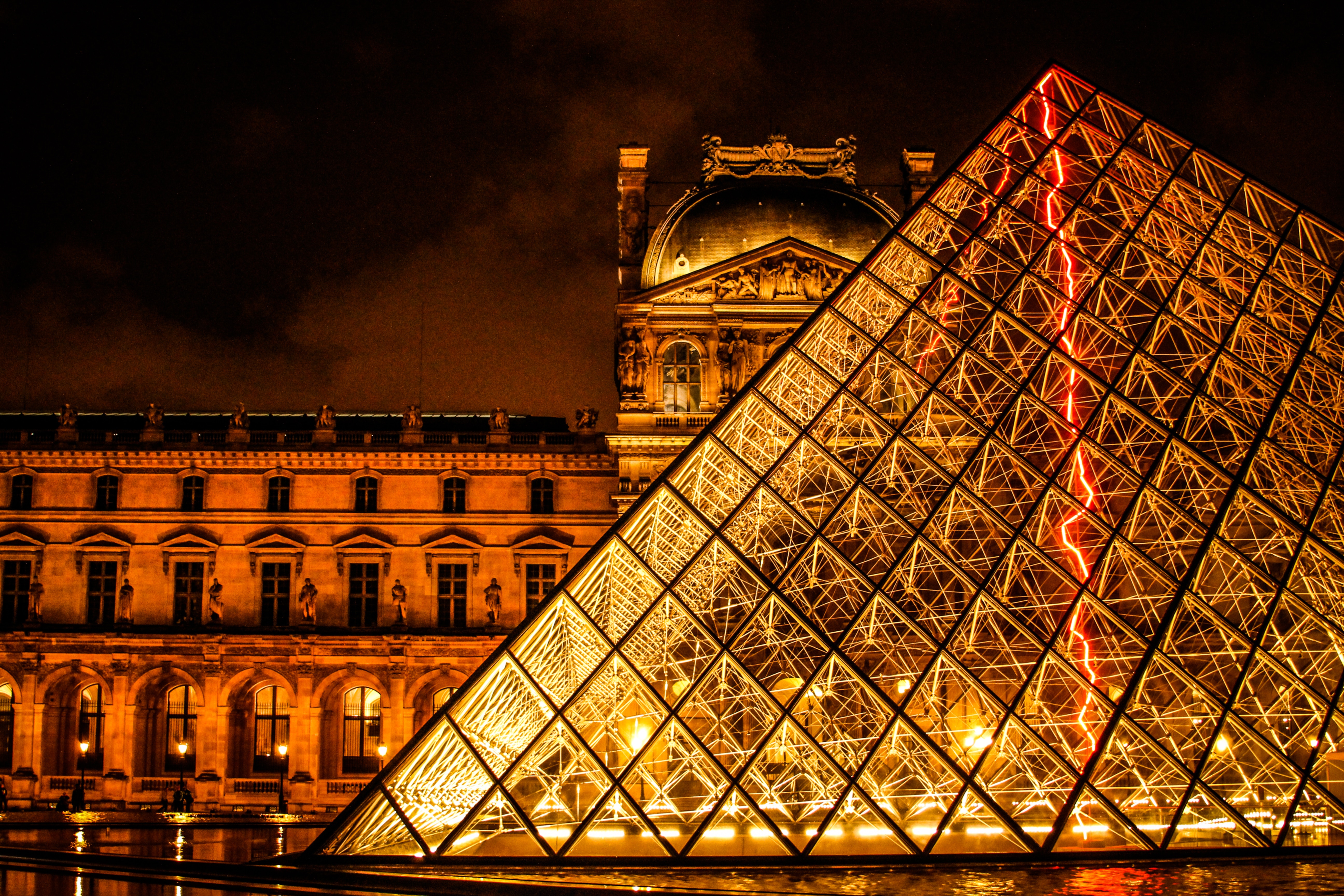
About Paris


About Les Andelys

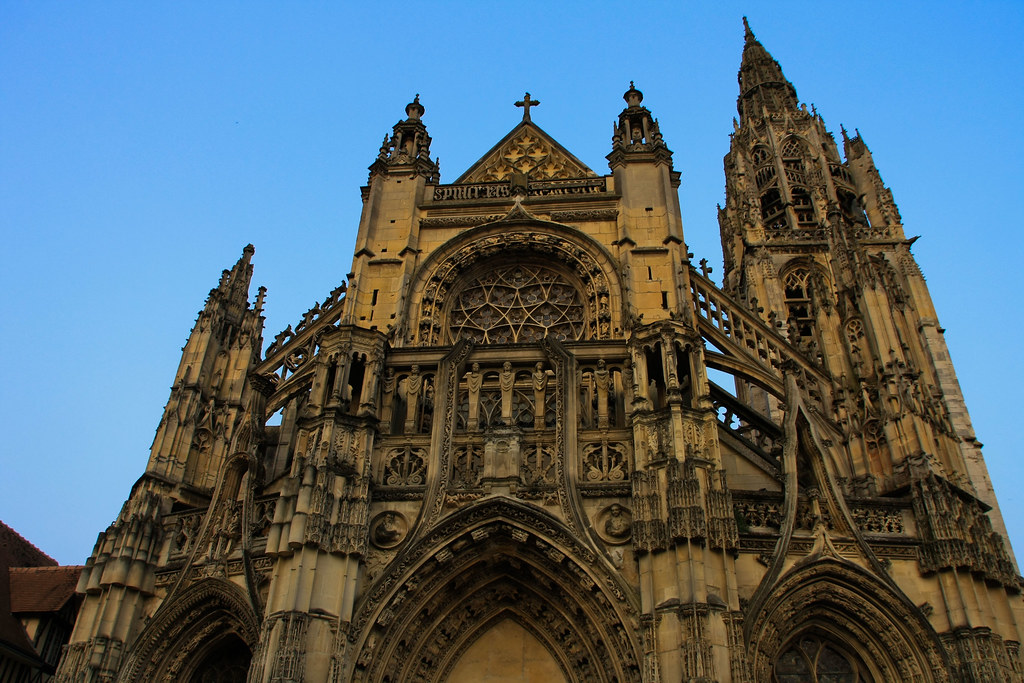
About Rouen
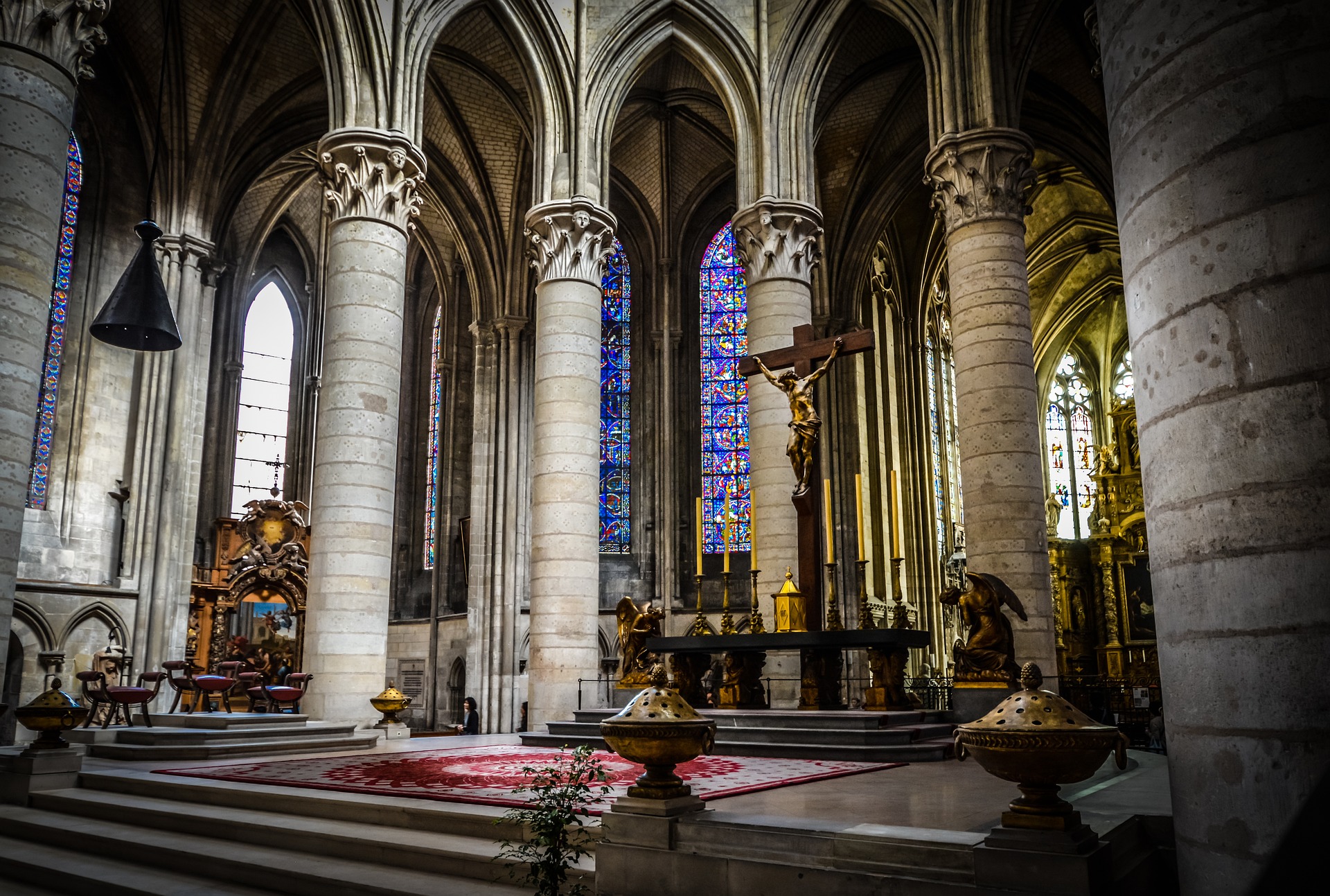


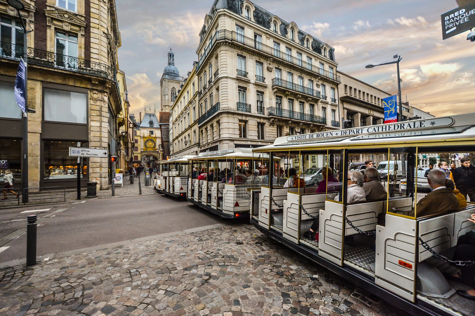
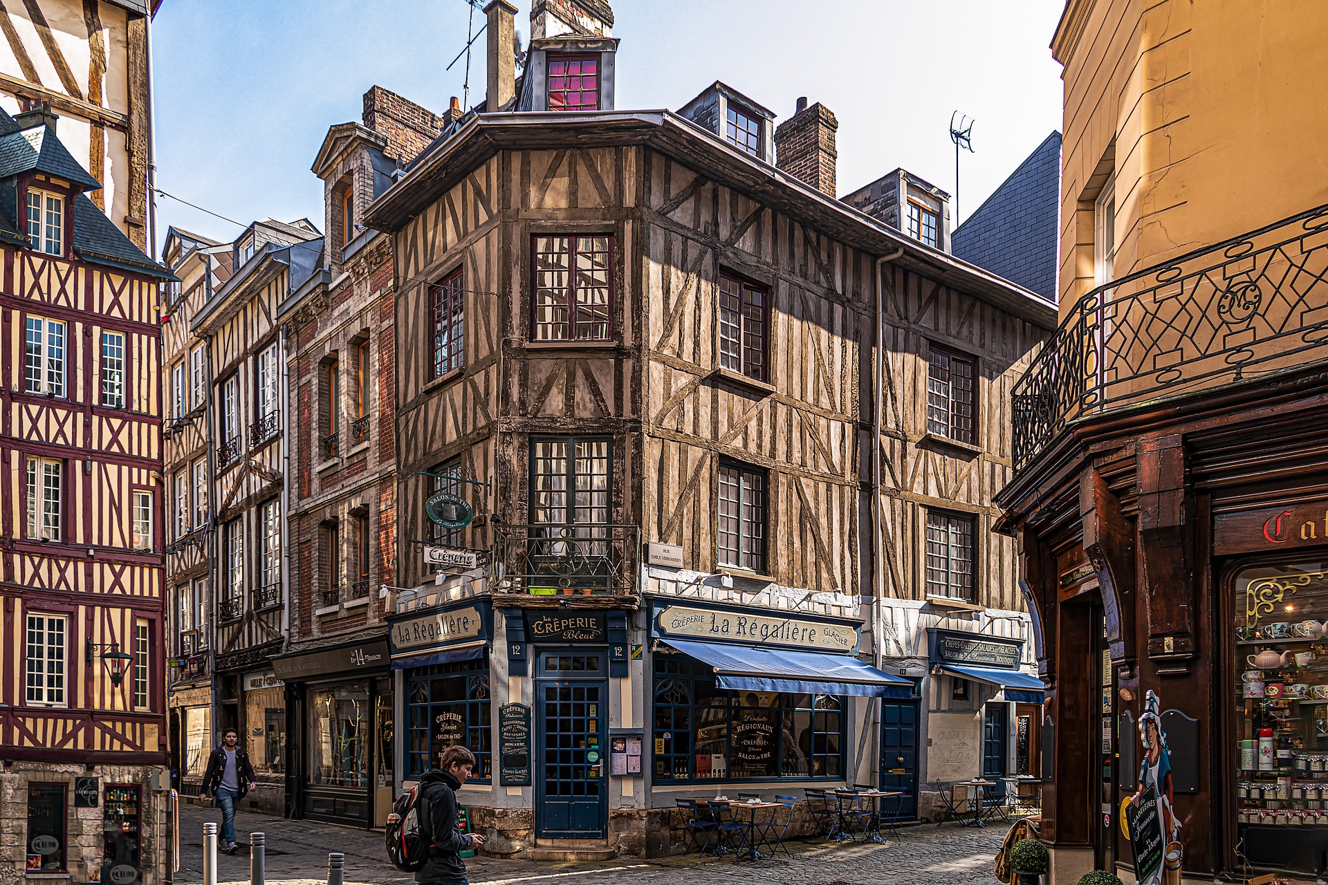
About Rouen
About Honfleur
Honfleur, the most picturesque of the Côte Fleurie's seaside towns, is a time-burnished place with a surplus of half-timber houses and cobbled streets that are lined with a stunning selection of stylish boutiques. Much of its Renaissance architecture remains intact—especially around the 17th-century Vieux Bassin harbor, where the water is fronted on one side by two-story stone houses with low, sloping roofs and on the other by tall slate-topped houses with wooden facades. Maritime expeditions (including some of the first voyages to Canada) departed from here; later, Impressionists were inspired to capture it on canvas. But the town as a whole has become increasingly crowded since the Pont de Normandie opened in 1995. Providing a direct link with Upper Normandy, the world's sixth-largest cable-stayed bridge is supported by two concrete pylons taller than the Eiffel Tower and designed to resist winds of 257 kph (160 mph).
About Caudebec-en-Caux
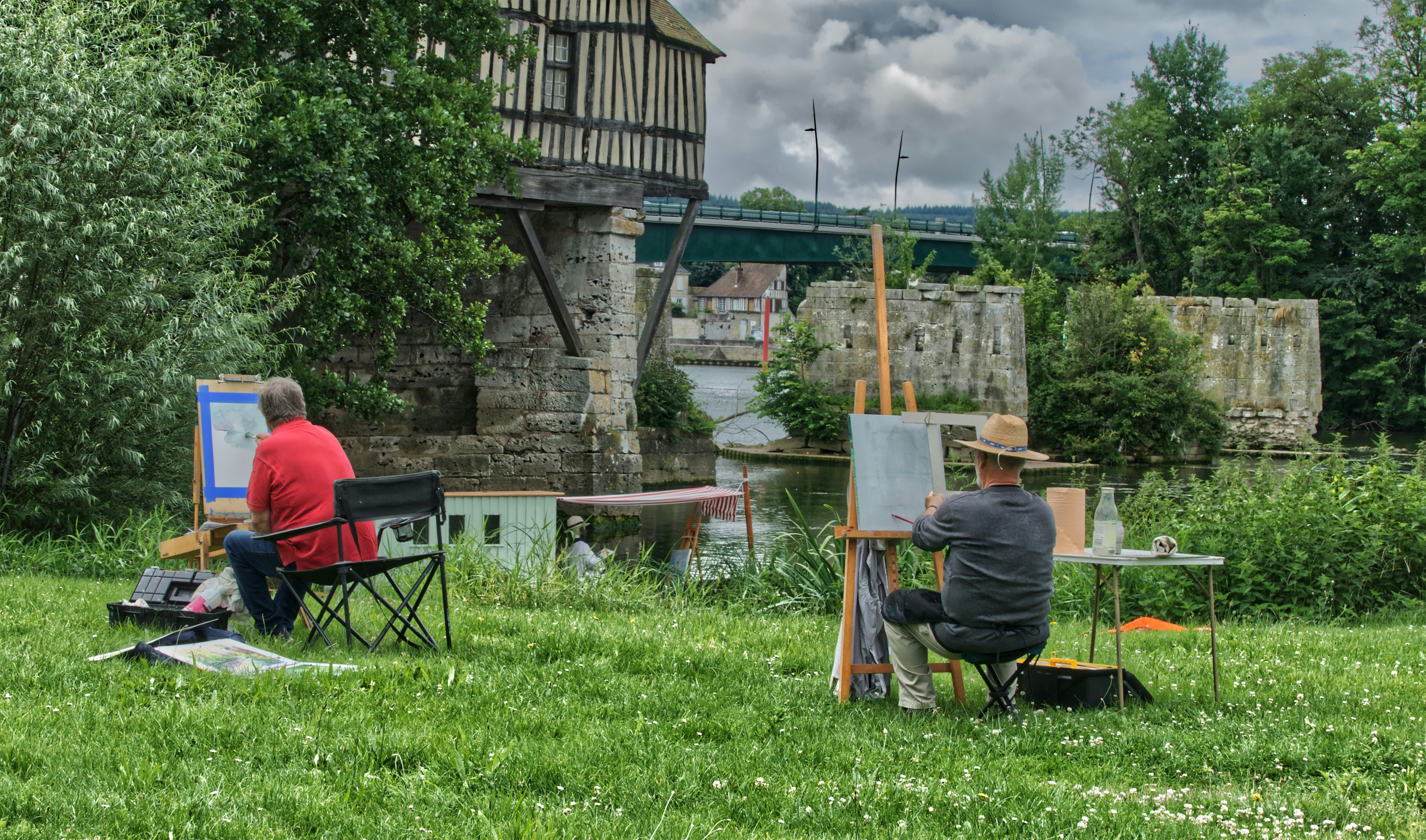
About Vernon


About La Roche-Guyon

About Conflans-Sainte-Honorine

About Paris
About Paris
About Paris
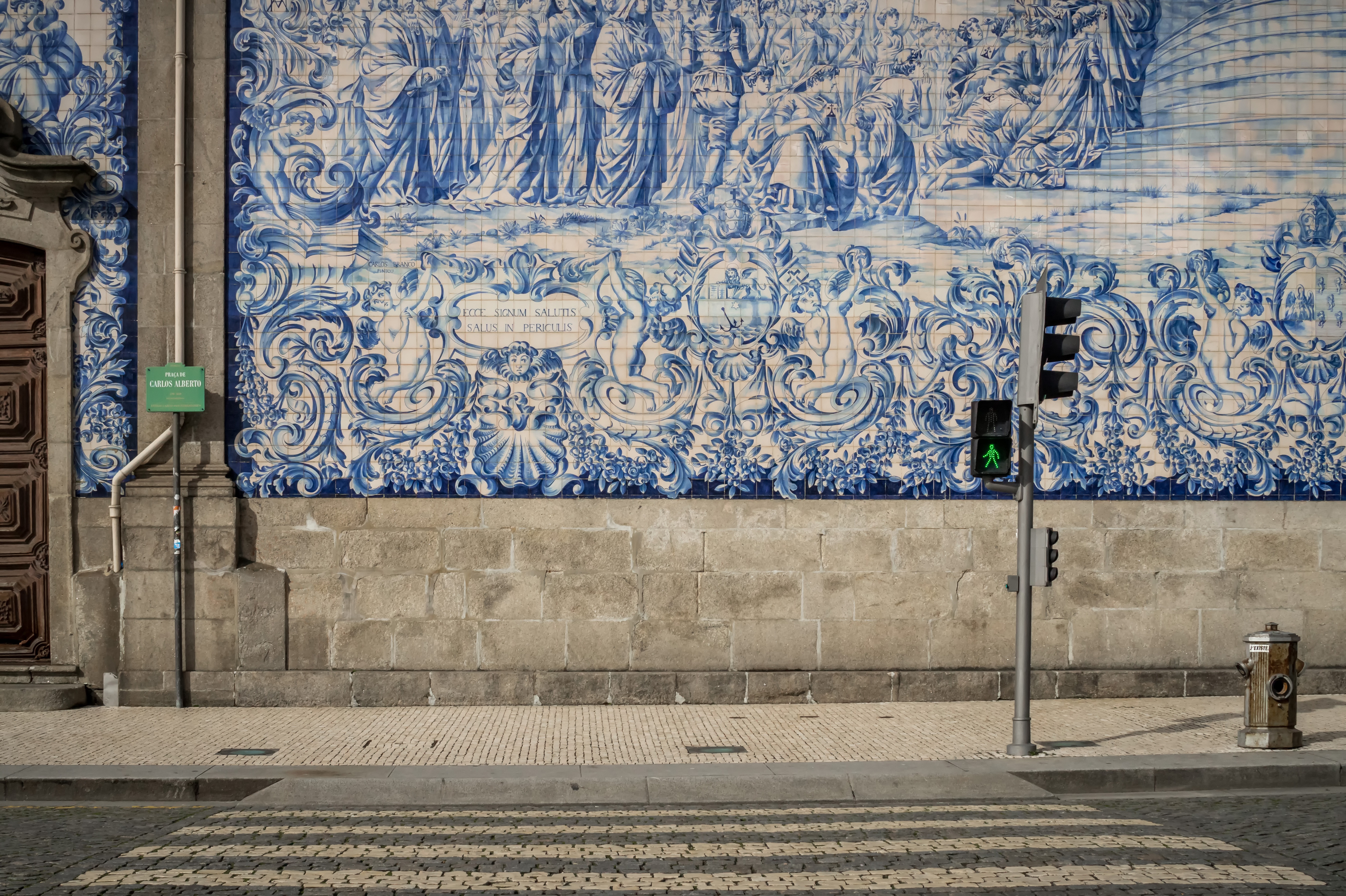
About Porto
Lively, commercial Oporto is the second largest city in Portugal after Lisbon. Also called Porto for short, the word easily brings to mind the city's most famous product - port wine. Oporto's strategic location on the north bank of the Douro River has accounted for the town's importance since ancient times. The Romans built a fort here where their trading route crossed the Douro, and the Moors brought their own culture to the area. Oporto profited from provisioning crusaders en route to the Holy Land and enjoyed the riches from Portuguese maritime discoveries during the 15th and 16th centuries. Later, port wine trade with Britain compensated for the loss of the spice trade and the end of gold and gem shipments from Brazil. In the 19th century, the city went through a period of new prosperity with the rise of industries. In its wake followed the building of workers' quarters and opulent residences. Since the declaration of Oporto as a World Heritage Site by UNESCO, the city aims to build up a cultural reference that will provide it with a new image, based on deep historical roots. Among the attractions that make Oporto such an interesting place are its graceful bridges spanning the Douro River, a picturesque riverfront quarter and, most notable, its world-famous port wine lodges. Although Oporto is a bustling centre and home to many different businesses, the source of its greatest fame is the rich, sweet fortified red wine we know as port.
About Entre-os-Rios

About Régua


About Régua
About Régua
About Vega de Terrón


About Vega de Terrón
About Salamanca

About Pocinho

About Pinhão


About Pinhão
About Pinhão
About Porto
Lively, commercial Oporto is the second largest city in Portugal after Lisbon. Also called Porto for short, the word easily brings to mind the city's most famous product - port wine. Oporto's strategic location on the north bank of the Douro River has accounted for the town's importance since ancient times. The Romans built a fort here where their trading route crossed the Douro, and the Moors brought their own culture to the area. Oporto profited from provisioning crusaders en route to the Holy Land and enjoyed the riches from Portuguese maritime discoveries during the 15th and 16th centuries. Later, port wine trade with Britain compensated for the loss of the spice trade and the end of gold and gem shipments from Brazil. In the 19th century, the city went through a period of new prosperity with the rise of industries. In its wake followed the building of workers' quarters and opulent residences. Since the declaration of Oporto as a World Heritage Site by UNESCO, the city aims to build up a cultural reference that will provide it with a new image, based on deep historical roots. Among the attractions that make Oporto such an interesting place are its graceful bridges spanning the Douro River, a picturesque riverfront quarter and, most notable, its world-famous port wine lodges. Although Oporto is a bustling centre and home to many different businesses, the source of its greatest fame is the rich, sweet fortified red wine we know as port.


Where You'll Go


