The World Cruise
The World Cruise
Cruise overview
WHY BOOK WITH US?
- ✔ The Deluxe Cruises’ team has extensive experience in ultra-luxury cruising.
- ✔ Call now to speak to our helpful and experienced Cruise Concierge team.
- ✔ Enjoy our Unique Deluxe Cruises Bonus for substantial savings.
- ✔ Our team will tailor your holiday to your exacting requirements.
- ✔ As agents, we work under the protection of each cruise lines ABTA / ATOL licences
About West Palm Beach, Florida
About Key West, Florida
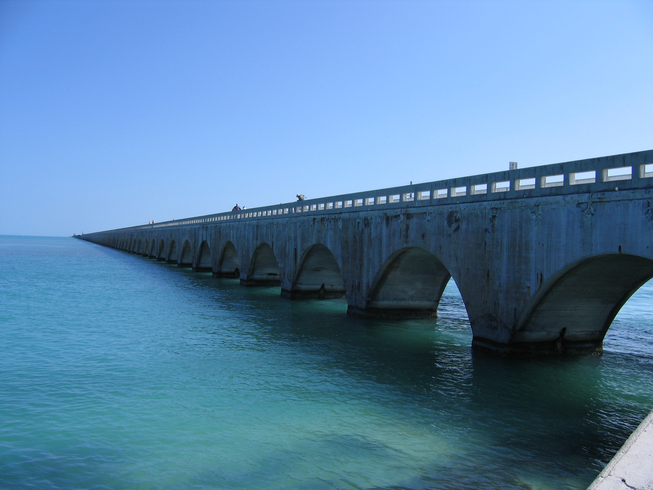
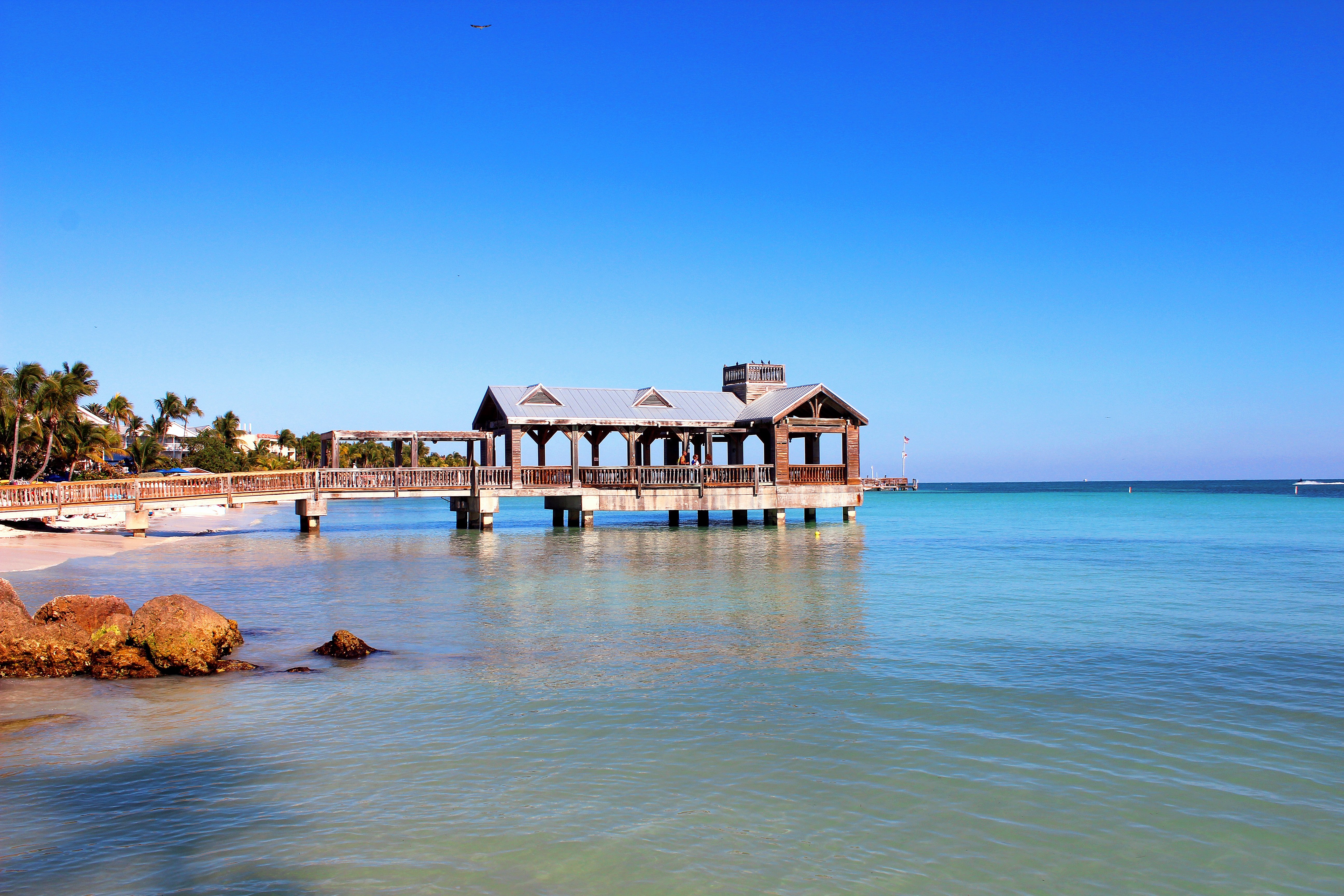
Located closer to Havana than Miami, Key West is synonymous for all that is fabulous. Whether it’s beaches, back country or just a brilliant time that you’re after, Florida’s most southern point holds a wealth of intrigue, both past and present. Famed for its unique originality, Key West is a condensation of the best of the sunshine state – fantastic weather, laid back attitude, deep-rooted history and masses of fantastic, fresh seafood; it’s little wonder that nobody ever wants to leave.Floating in the middle of the Gulf of Mexico, the island has two very definite personalities: bookish and bizarre. On the one hand, the literary festivals, exquisite Caribbean architecture and splendid art galleries attract the bourgeoisie, while on the other, the eccentricity and reticence to be associated with “the mainland” attracts all kinds of “happies” –new era hippies. The two dichotomies live peacefully side by side and have done ever since travellers started arriving in the 1960s — Key West being one of the three big K’s on the hippie path to enlightenment (Kuta and Kathmandu are the others).But past the idiosyncrasies of the Key Westers, and you will find an island that is literally brimming over with spectacular sights and wonderful wilderness. From Henry S. Truman’s Little White House and Ernest Hemmingway’s house and studio, to botanical gardens and marine sanctuaries, visitors will leave this fascinating island wanting more.Best seen by foot, bike or boat, this is an island to be explored al fresco.
About Little Cayman
About Providencia Island
About San Andrés Island
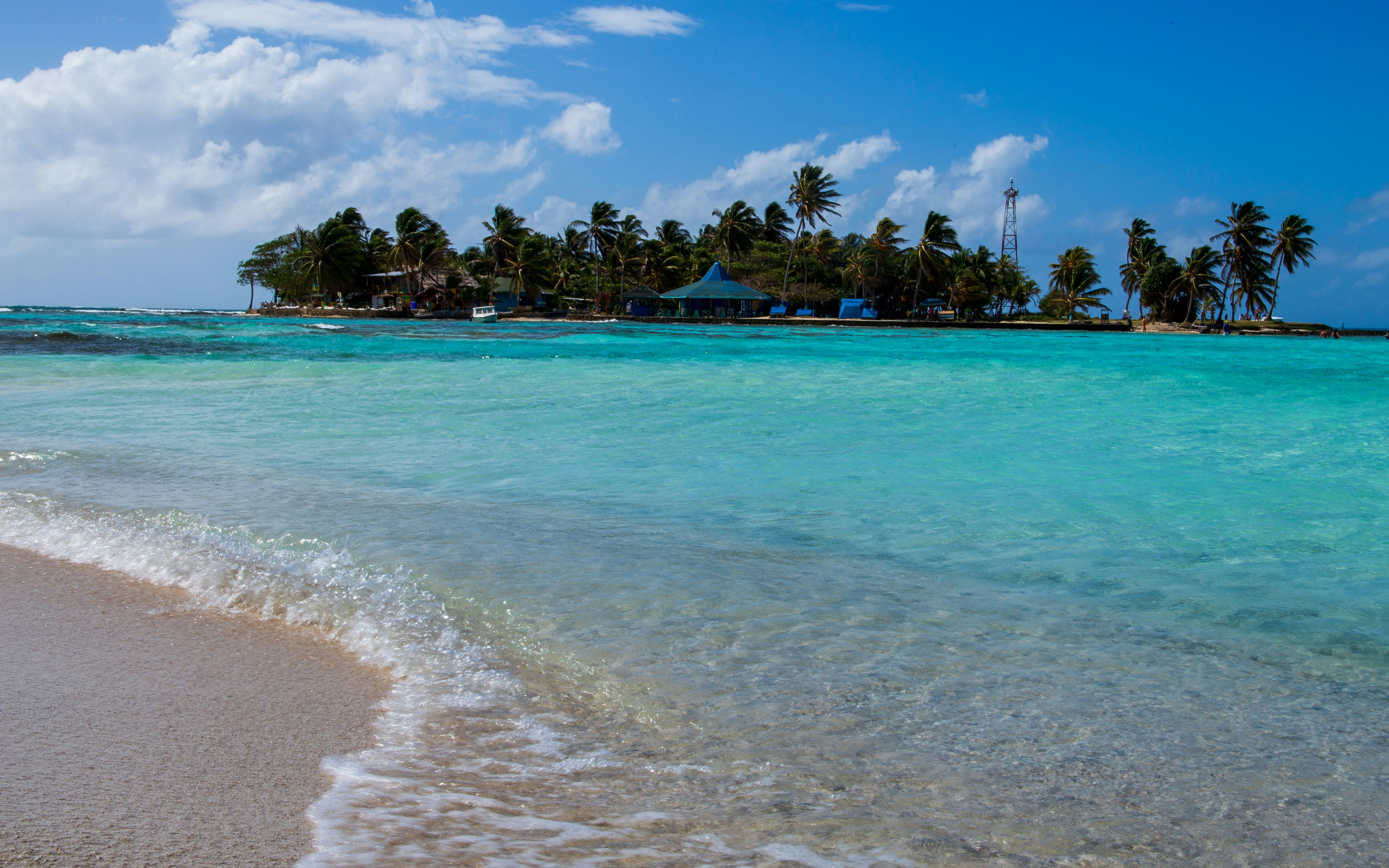
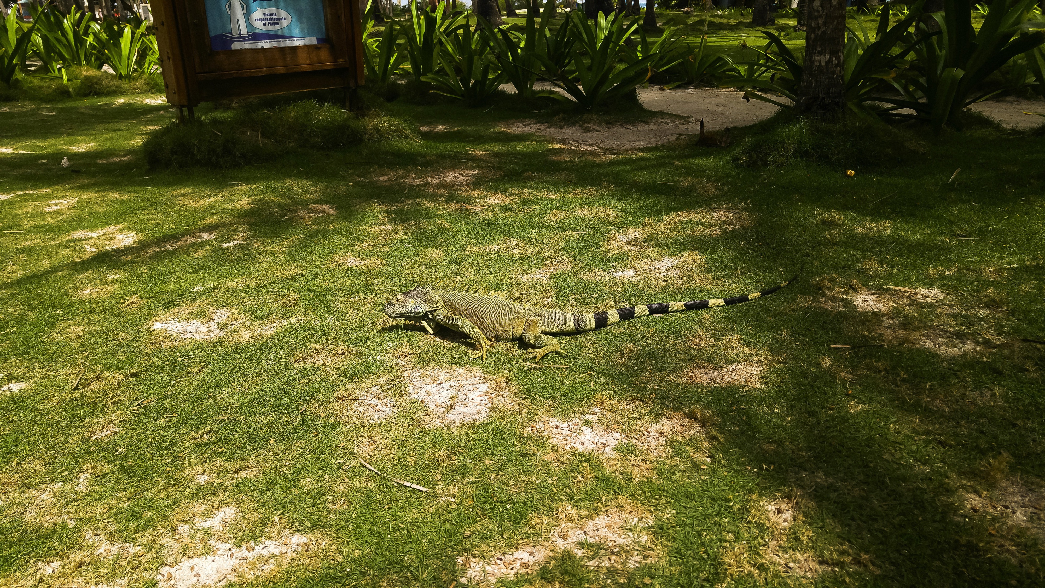
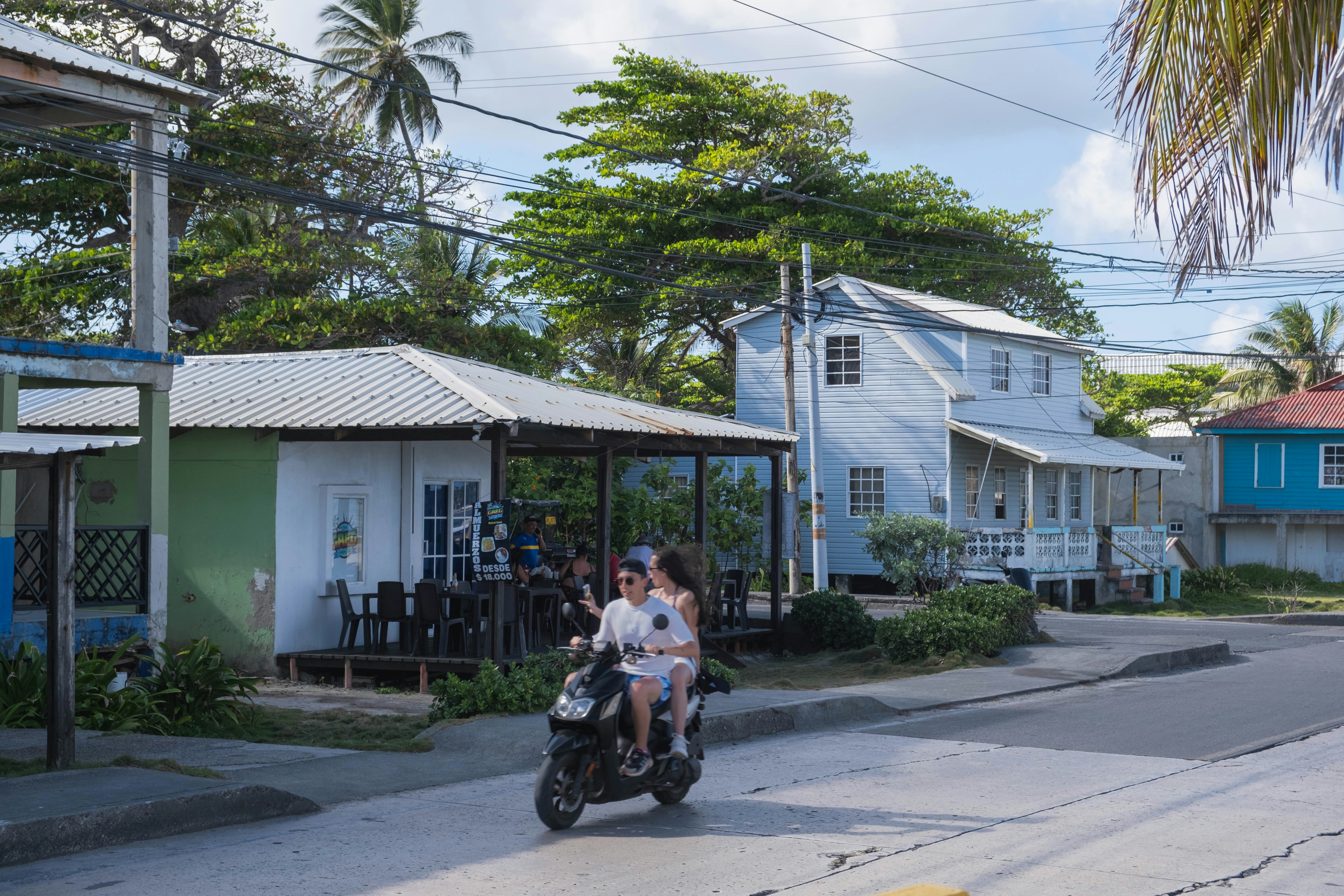
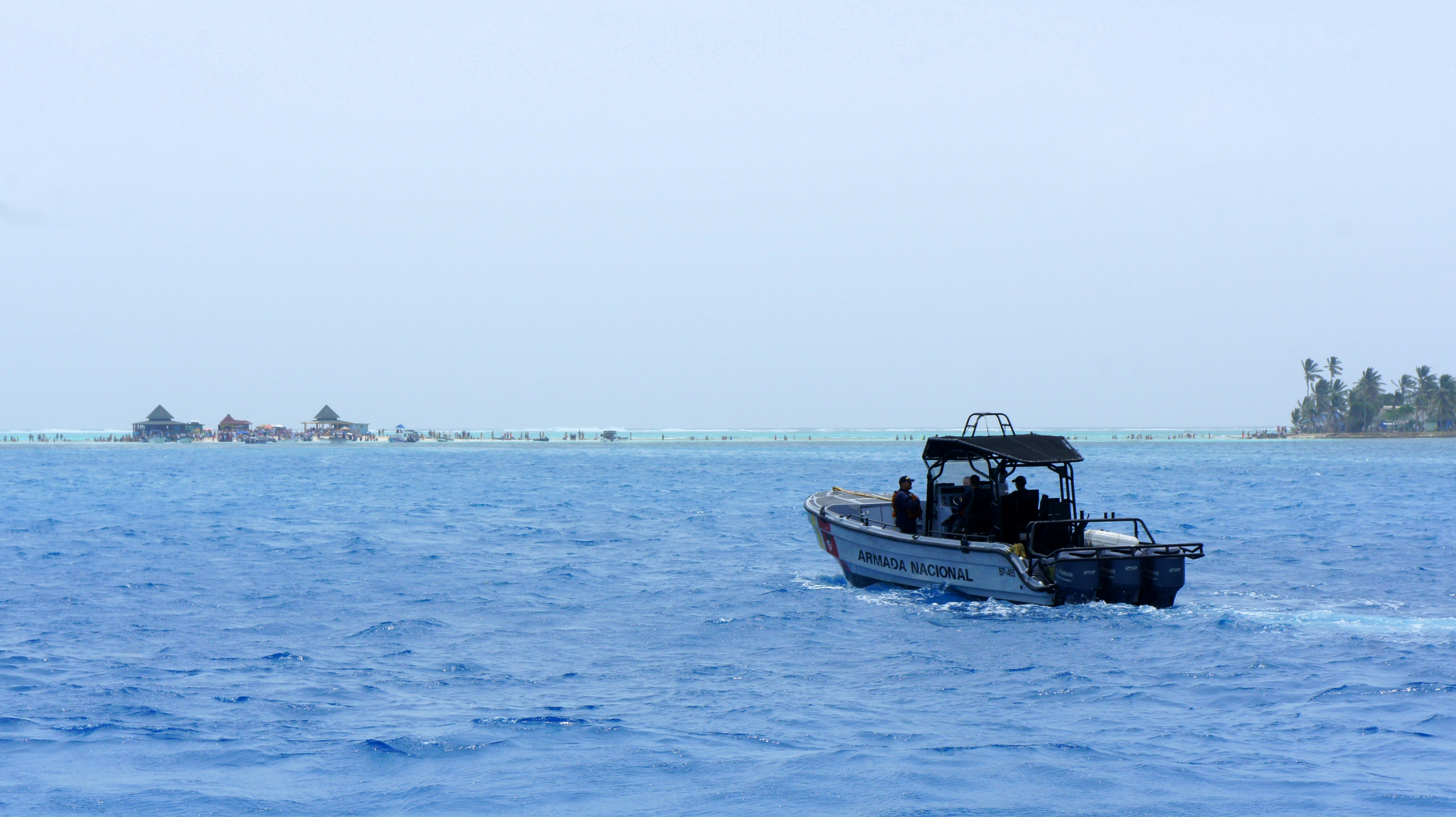
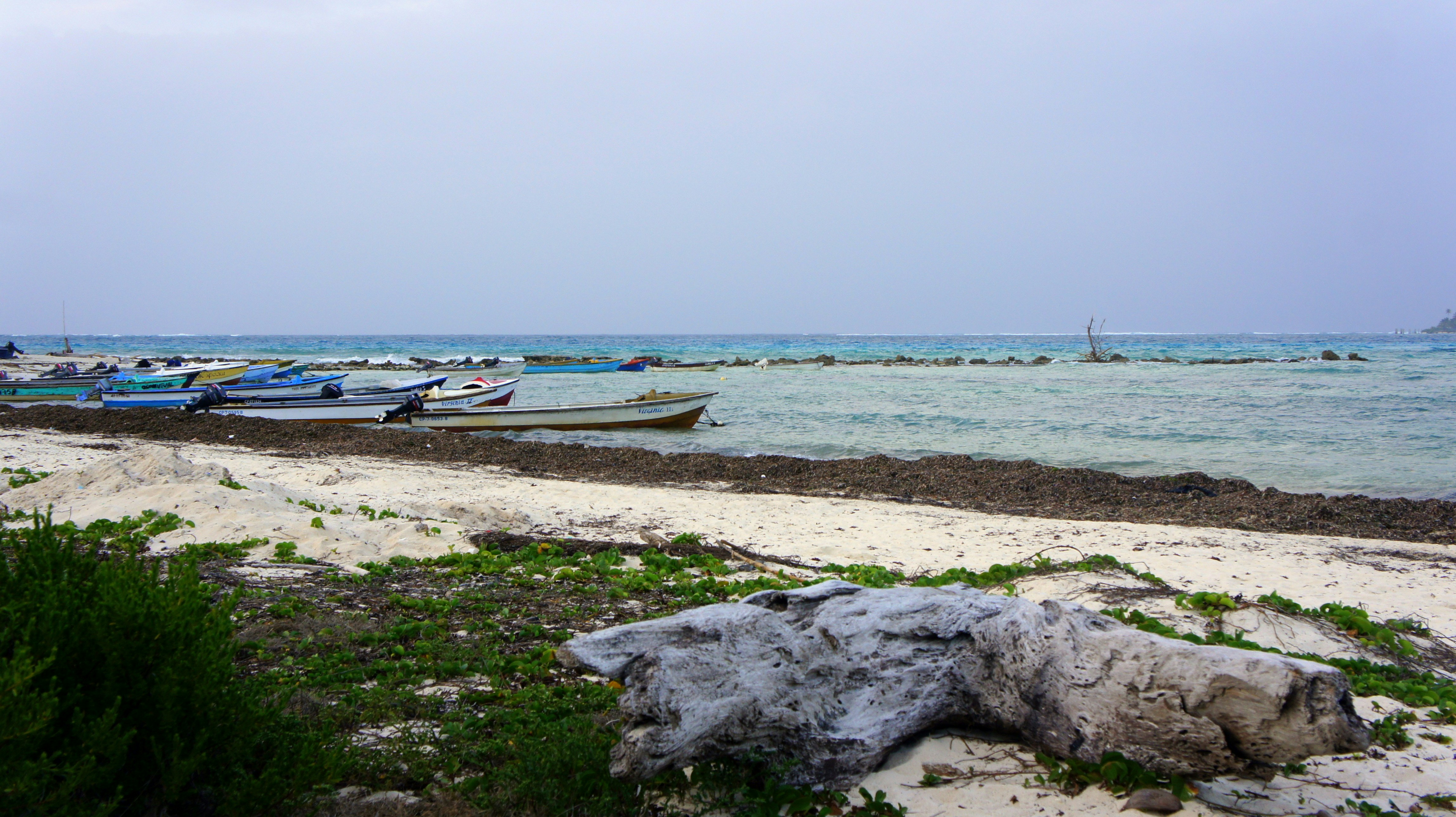
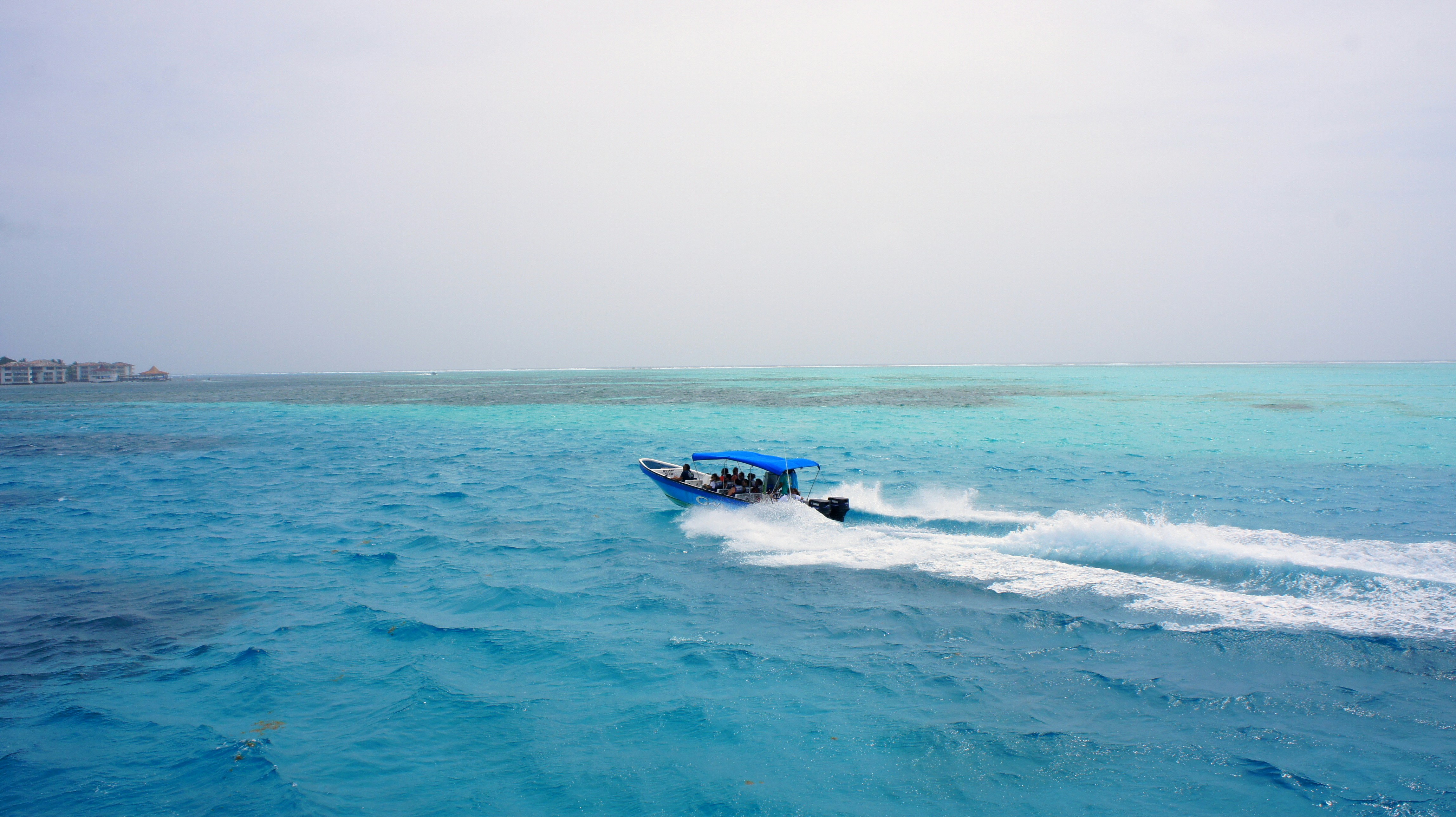
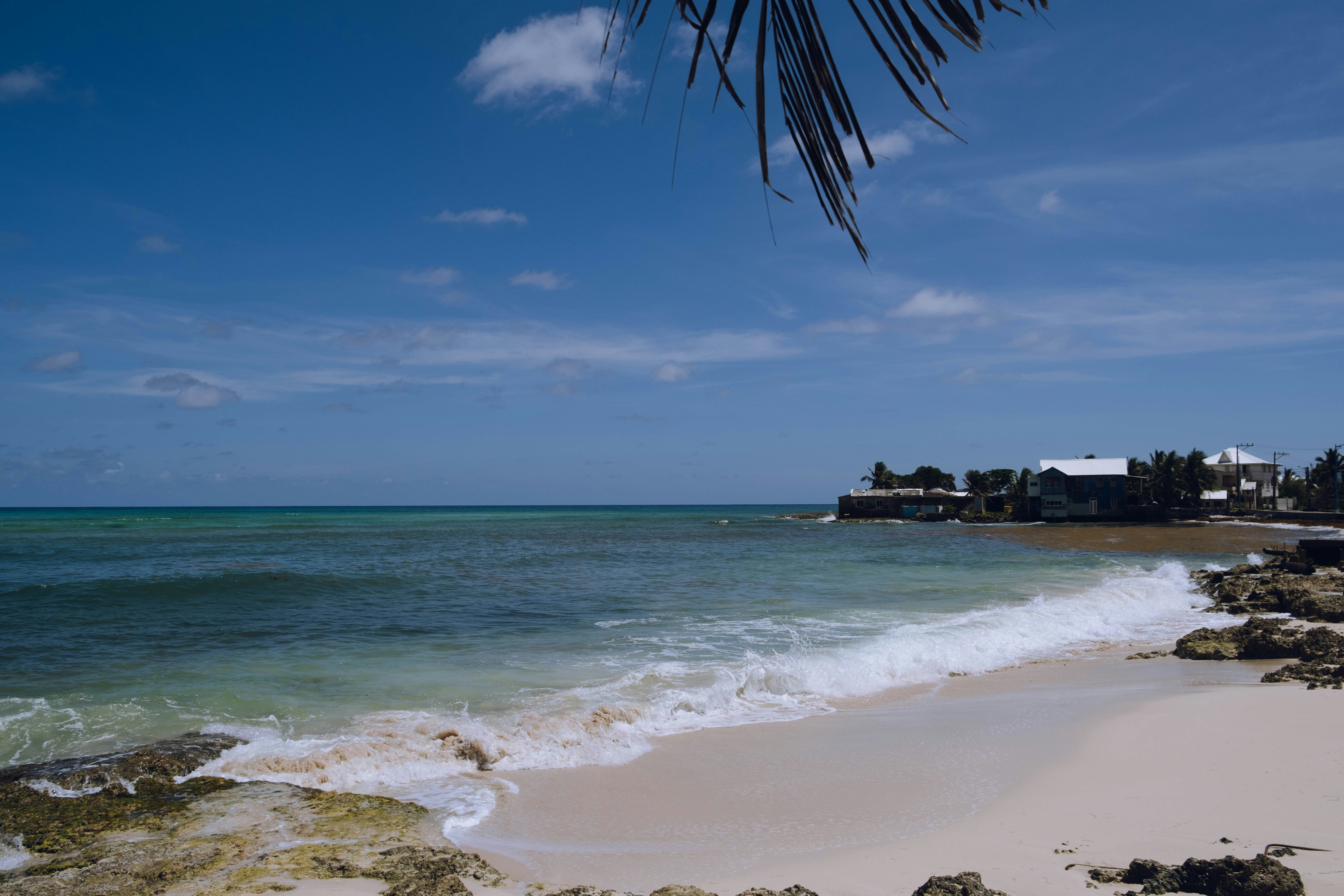
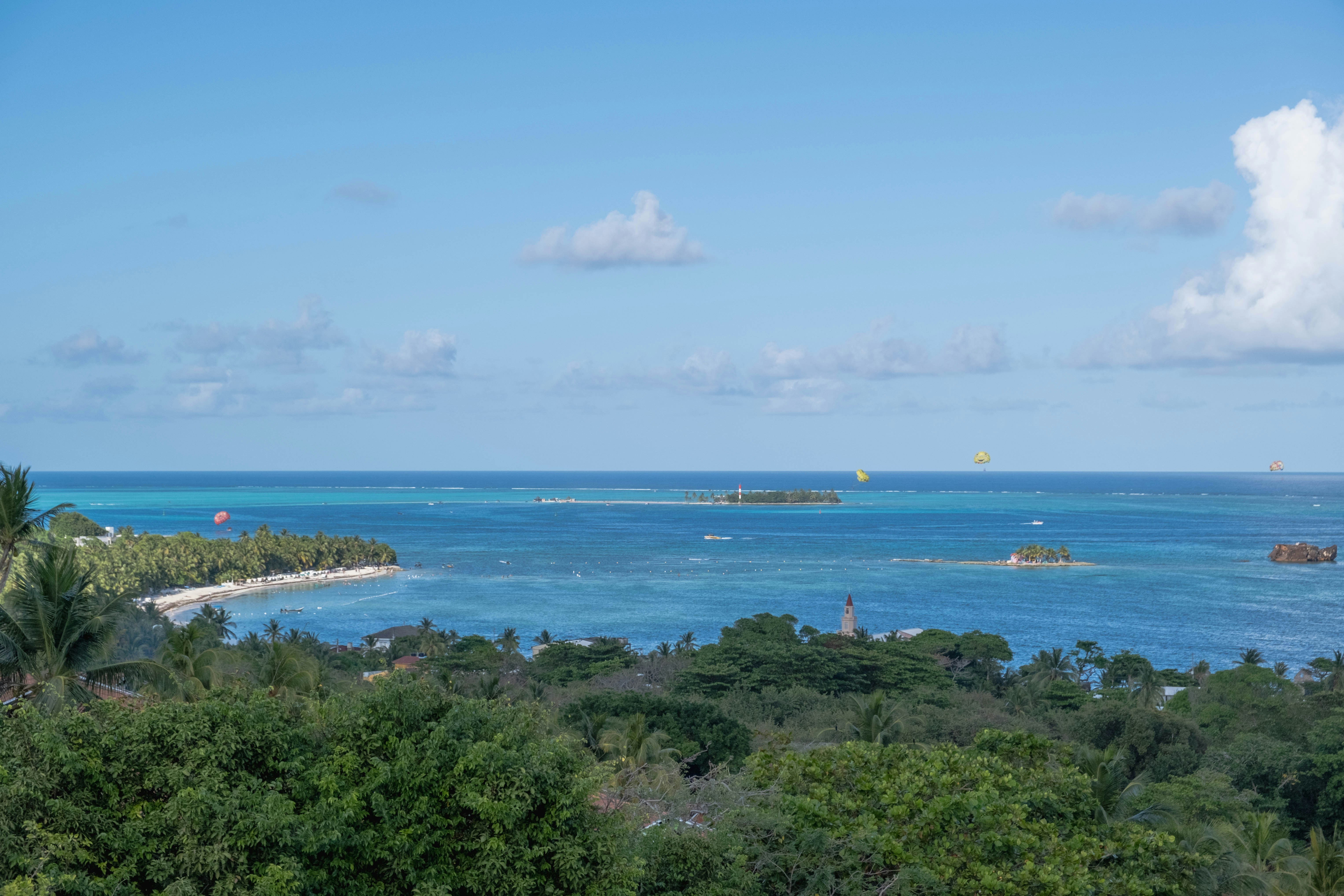
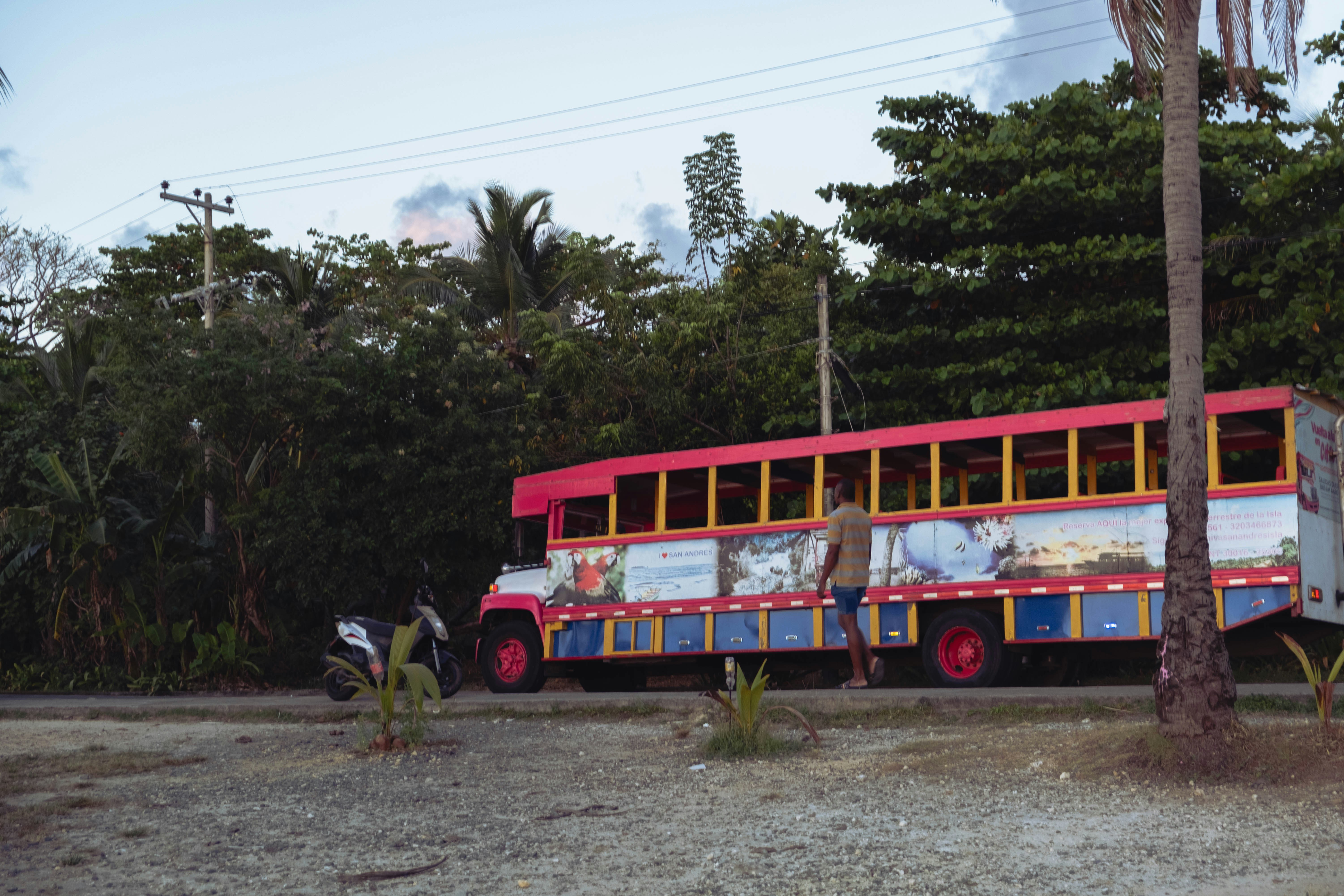
The San Andres and Providencia archipelago comprises Colombia's Caribbean islands, lying some 290 miles north of the South American coast. Palm-dotted San Andres is only eight miles long and two miles wide. It is noted for beautiful sand beaches, crystal-clear waters and good diving sites. At one time the island belonged to Britain and, according to local lore; it was a favorite hideout for the legendary pirate Henry Morgan. In 1822, San Andres came under the control of Colombia. In recent years the original population has greatly increased due to unrestricted immigration from the mainland. There are also Chinese and Middle Eastern communities. The official language is Spanish but English is widely spoken, especially in shops and hotels. The island is best seen via the scenic ring road that offers views of coves, beaches and palm groves. In the interior stands a Baptist church dating from 1847, and the attraction at the southern end is the Hoyo Soplador, a geyser-like hole where the sea shoots jets of water intermittently into the air during the right wind and sea conditions. On the island's northern tip lies the main town and commercial center, known by the same name as the island. San Andres Town is surrounded by beaches, with small hotels lining the waterfront. Being a duty-free zone, the town often gets crowded with Colombian shoppers who come from the mainland looking for foreign-made goods at duty-free prices. To reach the town from the tender landing requires an approximate 20-minute taxi ride. However, it is not uncommon for drivers to choose the longer way around the island for a higher fare. From the downtown waterfront, boats offer trips to Johnny Cay, a tiny island just a stone's throw across from town and known for its powdery white sand beach and rustic, laid-back atmosphere. San Andres Island’s main attraction is its location off the beaten track, as well as pretty scenery, sandy beaches and clear, warm waters. Tourism infrastructure is limited. Pier Information The ship is scheduled to anchor off El Cove. Guests will be taken ashore via the ship's tenders. The landing site is about a 20-minute drive from San Andres Town. There are plenty of taxi drivers offering their services. Please be sure to agree on the fare before setting out (the one-way fare should be around $30). Keep in mind that not all taxi drivers speak English. Shuttle buses are not available. Shopping Most shops in town carry duty-free imports. At New Point Plaza you will find shops selling local souvenir items and jewelry including emeralds. Some stores close between 12:30 p.m. and 3:00 p.m. The local currency is the peso. Many shops will accept U.S. dollars and major credit cards. Cuisine Outdoor cafés are available in town if you fancy a cold drink or a quick snack. Other Sites All of the island’s sights are covered on the San Andres Island Drive. Beaches Swimmers, snorkelers and sun seekers will find beach facilities right in town. One of the hotels also features water sport rentals. Johnny Cay can be reached via local boats departing from the waterfront. However, be aware that winds are fairly strong between November and January, which may cause delays for your return boat ride. There are no tourist facilities on Johnny Cay. Private cars/vans are not available in this port, except for taxis.
About Bocas del Toro
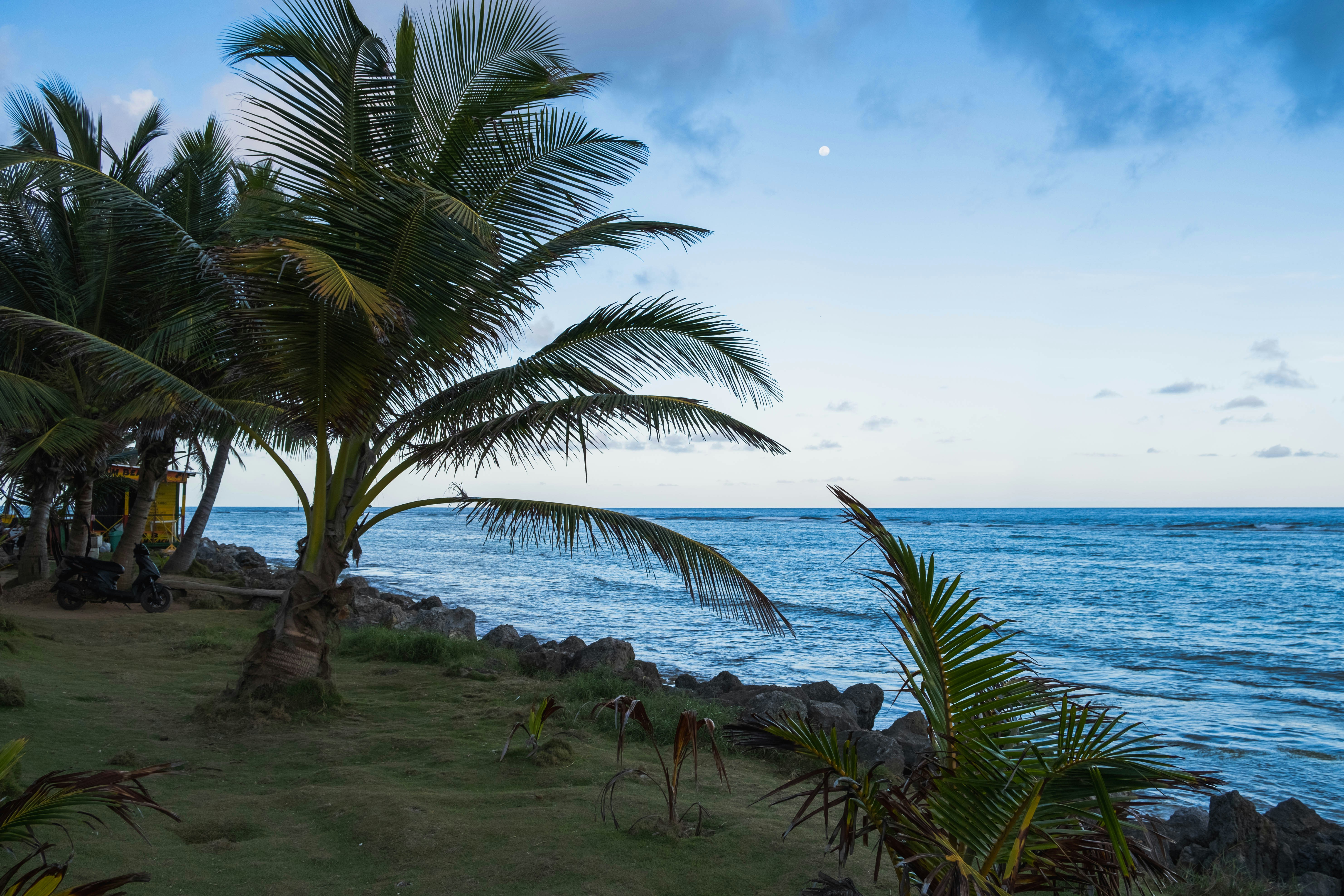
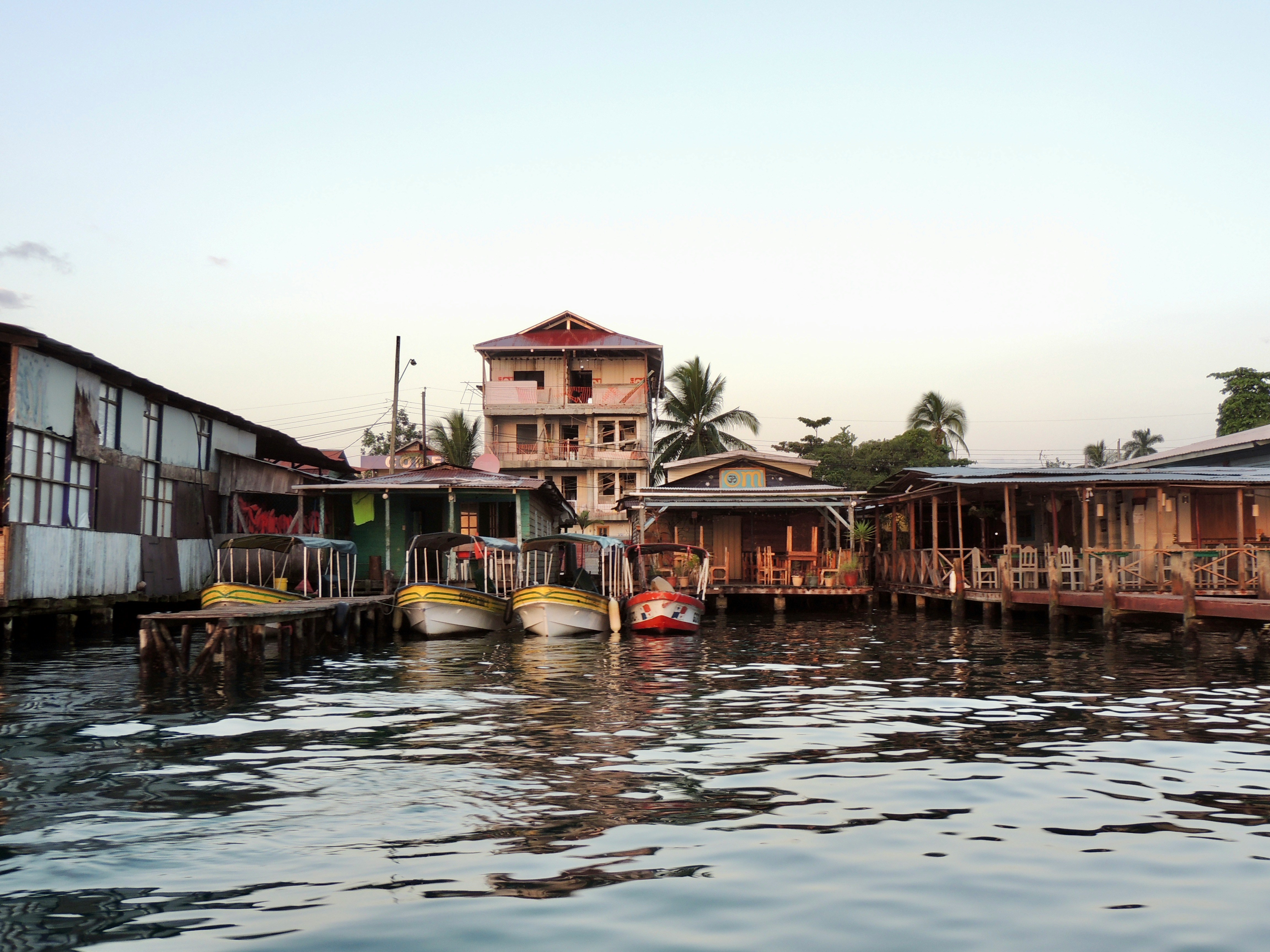
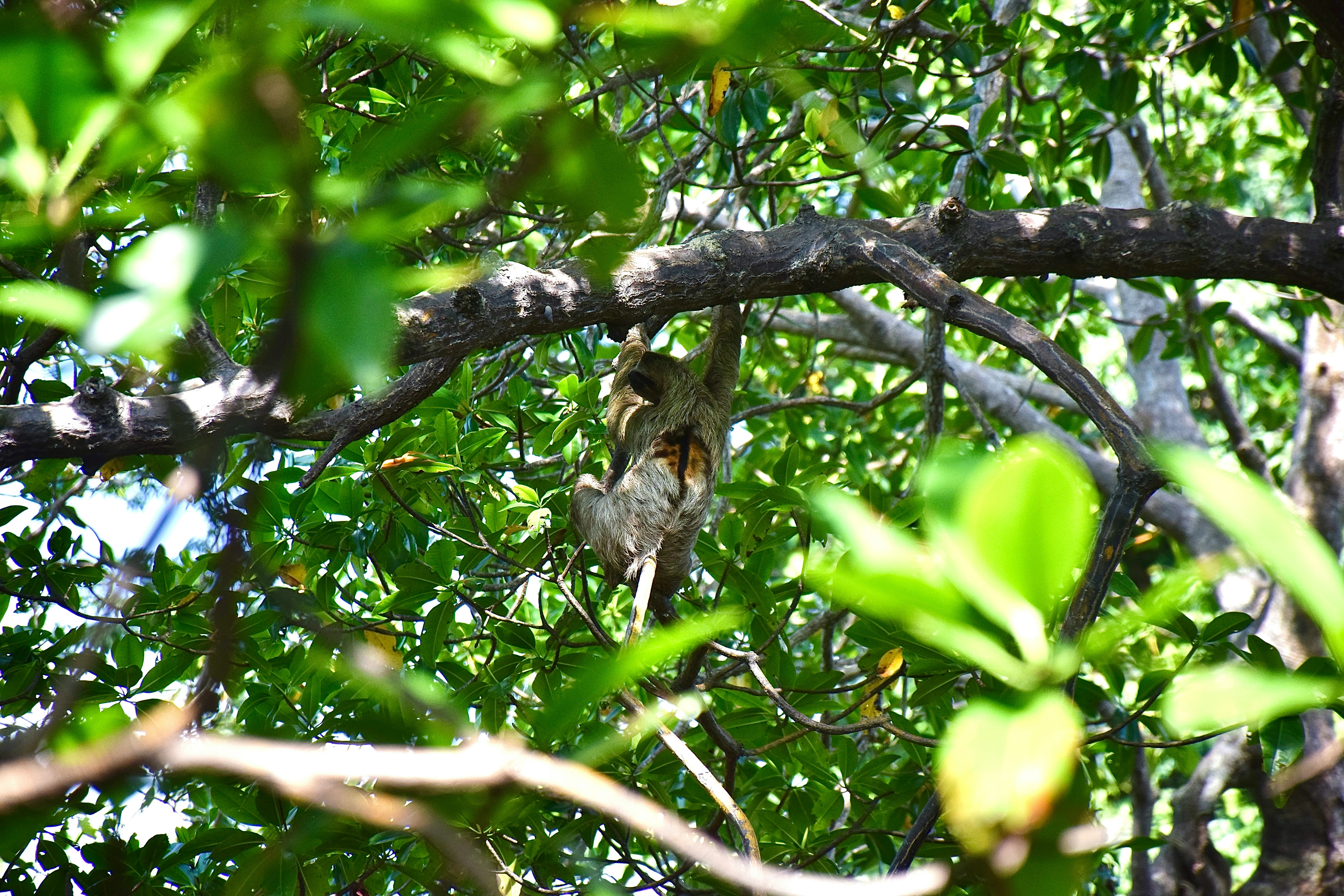
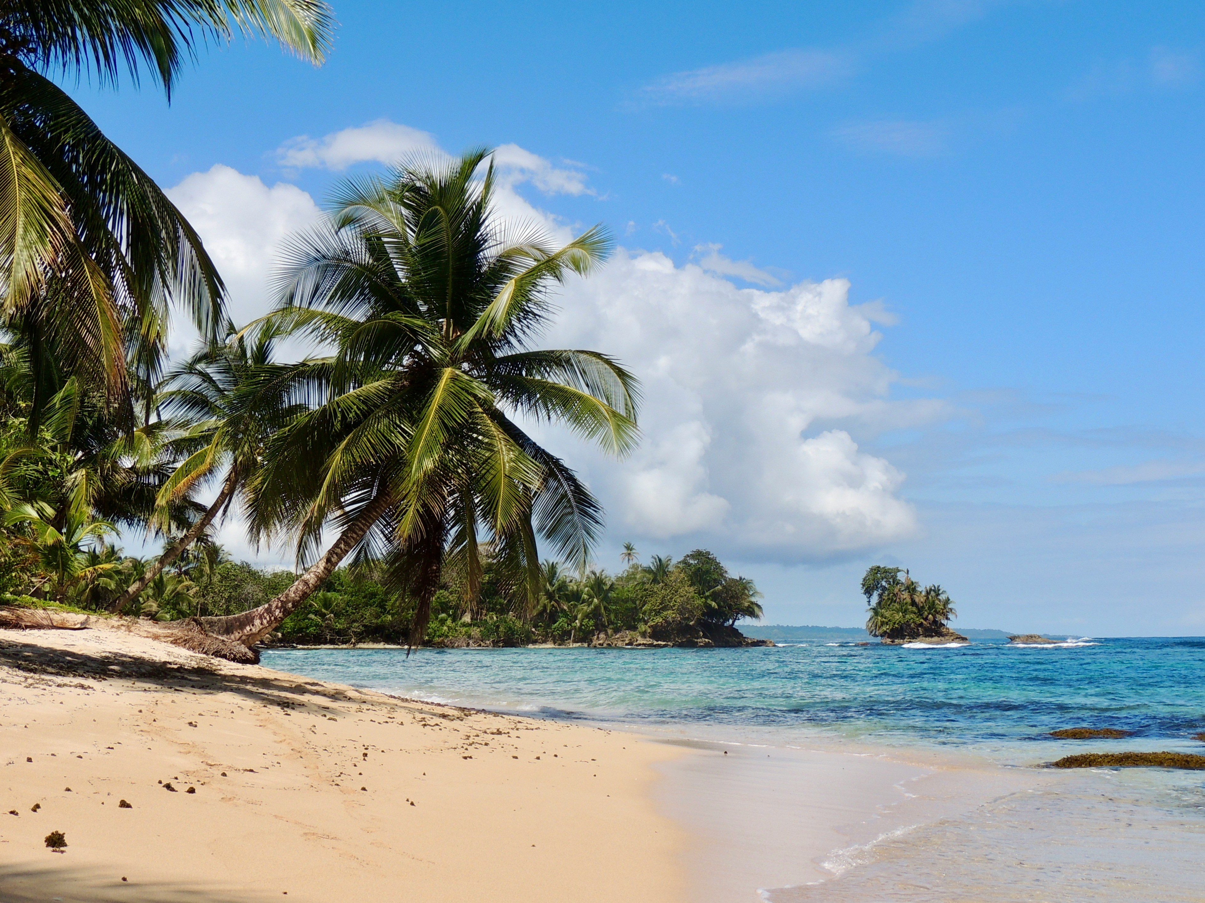
Translated as Mouths of the Bull, Bocas del Toro is both a province and an archipelago in the northwest Caribbean Sea in Panama. The archipelago contains 10 larger islands (including the main Isla Colon, where the town of Bocas del Toro is situated), 50 cays and 200 tiny islets. The region contains Isla Bastimentos National Marine Park, Panama’s first national marine park that covers over 32,000 acres and protects forests, mangroves, monkeys, sloths, caiman, crocodile and 28 species of amphibians and reptiles. The park also contains Playa Larga, an important nesting site for sea turtles. With all there is to see in this region, visitors should also pause to enjoy the pristine white beaches lined with palm trees that lie all along the surrounding clear waters of the Chiriqui Lagoon
About Holandes Cayes
Better known as the legendary ‘Spice Islands’ of the Ancient World, these small volcanic landmasses were the fabled prize of colonial powers for more than four centuries. Its rich history is still tangible today with an eclectic mix of Portuguese, Dutch and British architecture, the remnants of a rich and tumultuous history. It is, without doubt, the most historically significant and interesting of all the “Spice Islands”.
About Panama City
Expect incredible morning views as you arrive into the port for Panama City. Tinged with a silver pre-dawn light, the city will metamorphosise into a golden glow as the sun rises above it. And from then on expect one stunning view after another. Very interesting in its own right, Fuerte Amador is obviously overshadowed by its proximity to Panama City. So should the Miraflores museum of the Canal, which offers a comprehensive and immersive tour of the Canal including a 3-D experience, four exhibition halls, an observation deck, and a surprisingly good restaurant not interest you then there is always the option of lovely Casco Viejo – literally the old quartier of Panama. The grand old colonial houses, cobbled streets, independent boutiques and buzzing street scene make this a must stop on your itinerary. And if you like seafood, you will not want miss the many restaurants and market stalls serving different variations of so-fresh-it’s-still-practically-swimming ceviche. Best eaten like the Panamanians do, with salty crackers and a cold beer on the beach. And if money is no object, a cup of geisha coffee – supposedly the world’s best and definitely the world’s most expensive at $7 a shot is definitely a pick me up! Cool cosmopolitan capital aside, Panama has a skyscraper filled skyline that is worthy of some of its North American counterparts. But if urban utopia is not your scene then fear not, the sandy beaches and lush rainforests are never more than a short cab ride away.
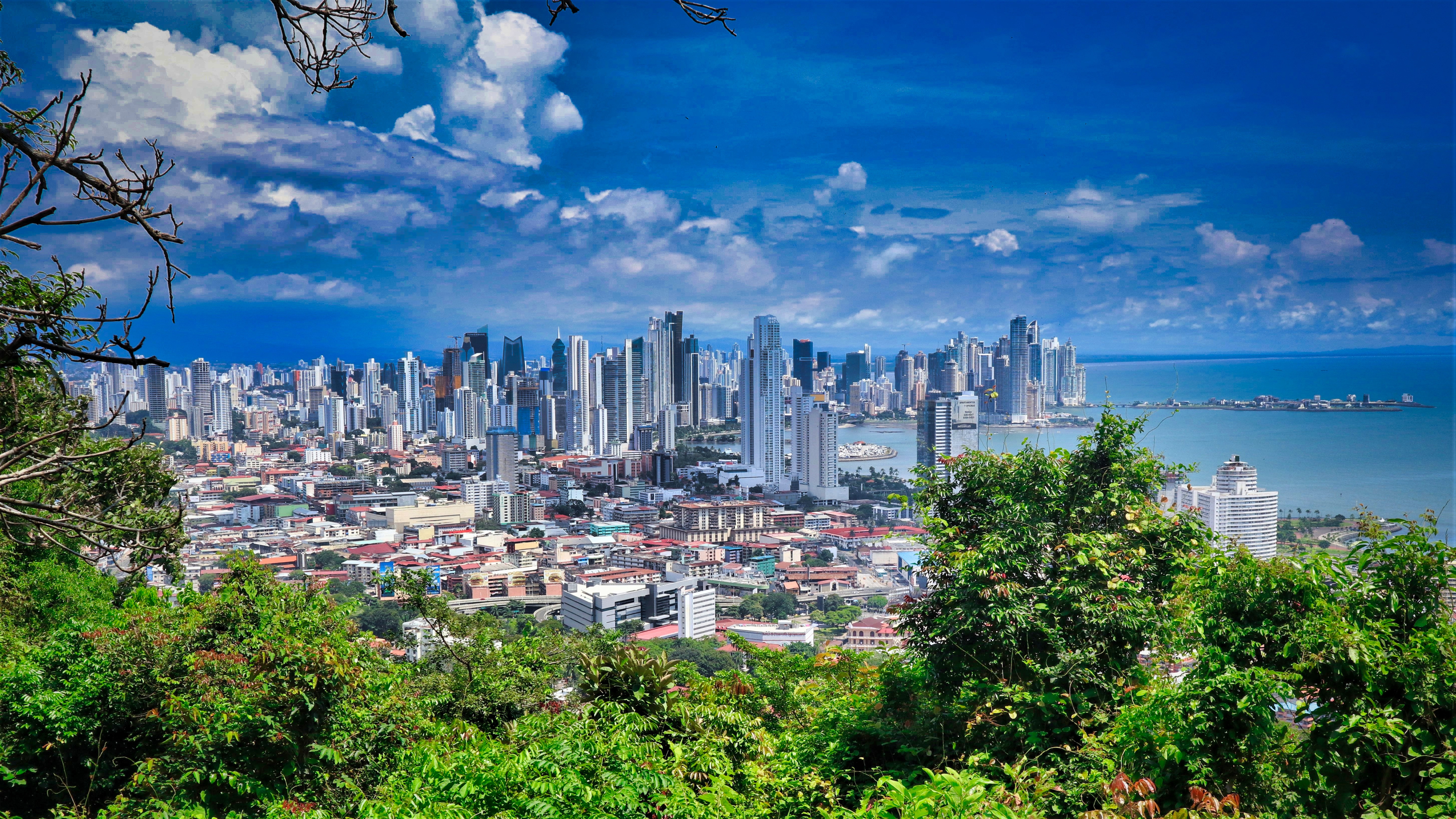
About Mogo Mogo Island, Pearl Islands
About Isla de la Plata
Isla de la Plata translates to ‘Island of Silver’, and the name was derived from the legend of swashbuckling pirate Sir Francis Drake’s buried silver treasure. The popular legend states that in the 16th century, hundreds of tons of silver and gold were never fully recovered and are still hidden on the island. The island was privately owned until 1979, when it was declared part of Ecuador’s Machalilla National Park. Best known for its fauna, which is amazingly similar to that of the Galapagos Islands, Isla de la Plata is a delightful place for birding, photography and long nature walks. Although just south of the equator, the influences of the colder Humboldt Current bring nutrient-rich water as far north as Isla de la Plata.
About Guayaquil
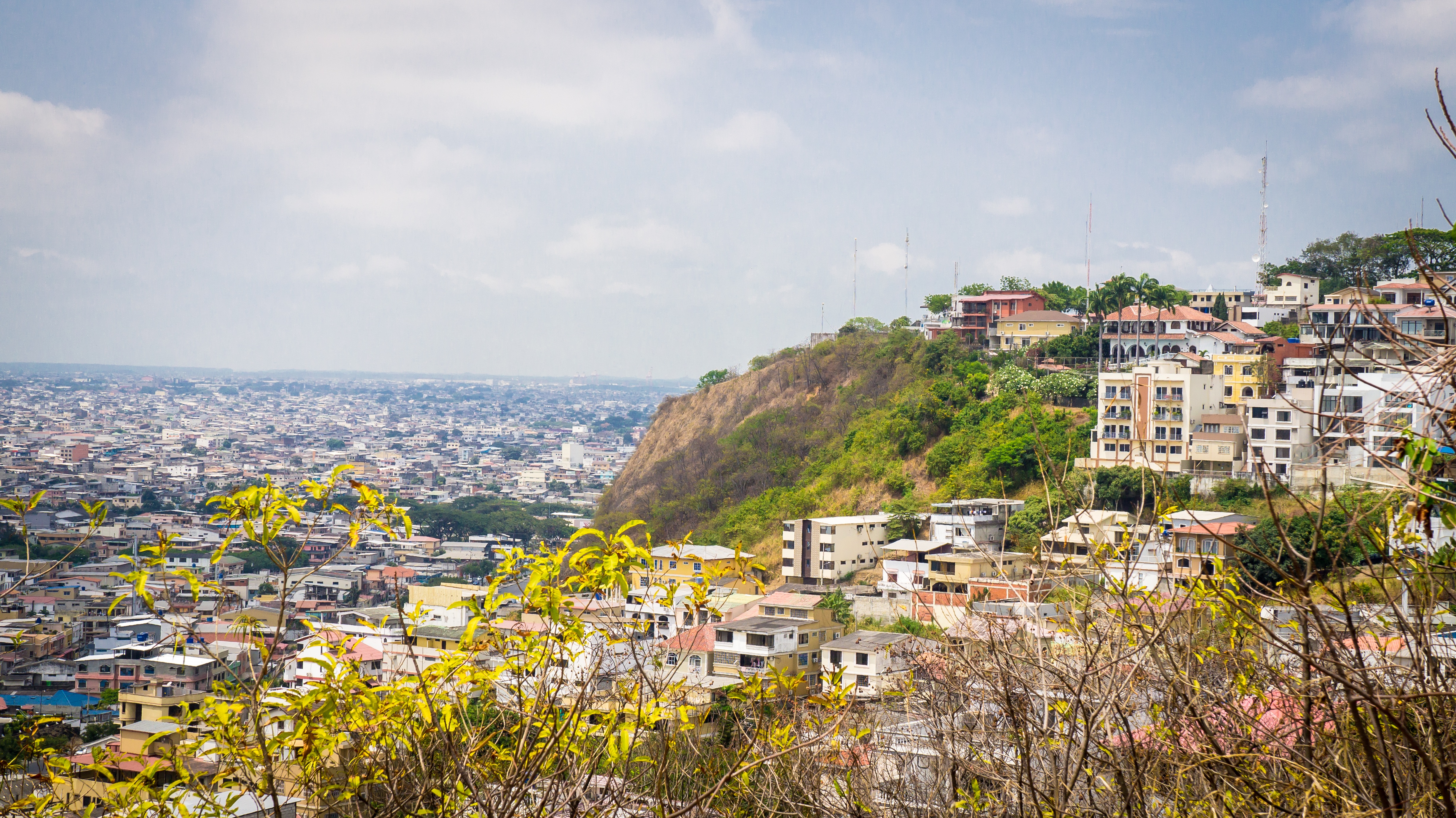
The second major jumping off point for the Galapagos Islands after Quito, this is a little city with a big heart. A sea port first and foremost, the city’s personality has been founded on that, and all the better it is for it too. Almost Caribbean in feeling, the clement climate coupled with the intermingling rhythms floating from the windows and abundance of fresh seafood make this a very tropical destination. Once not even considered by the travel books as a potential destination in its own right, the city has undergone something of a resurgence in the past few years. Proud Guayaquileños will not hestitate to point out the Malecón or the exciting new riverfront promenade, once a no-go area after dark, now happily (and hippily) lined with museums, restaurants, shops, and ongoing entertainment. The new airport and urban transportation network are also lauded to the happy tourists who find themselves here. As the largest and most populous city in Ecuador as well as being the commercial centre, it would only be natural that the city would have some kind of modern architecture, but it is the colourful favelas, or to use their real name guasmos, that cling to the side of the hillside like limpets that really catch your eye. A blend of old and new, the first inhabitants can be traced back to 1948 when the government cleared the area for affordable housing, these shanty towns are witness to the social and political particularities that Guayaquil has faced in the past.
About Trujillo
The town of Trujillo is located in the western Caribbean on Honduras’ gorgeous and dramatic North Coast. Christopher Columbus landed in present-day Trujillo in 1502, during his fourth and final voyage to the New World. The Santa Bárbara Fort was constructed beginning around 1575 and provided protection for the town with its large cannons overlooking the Bay. A town plaza and park are near the fort, as is the San Juan Bautista Church. Experience the culture, the warmth, the hospitality and the seaside charm of this coastal location.
About Callao
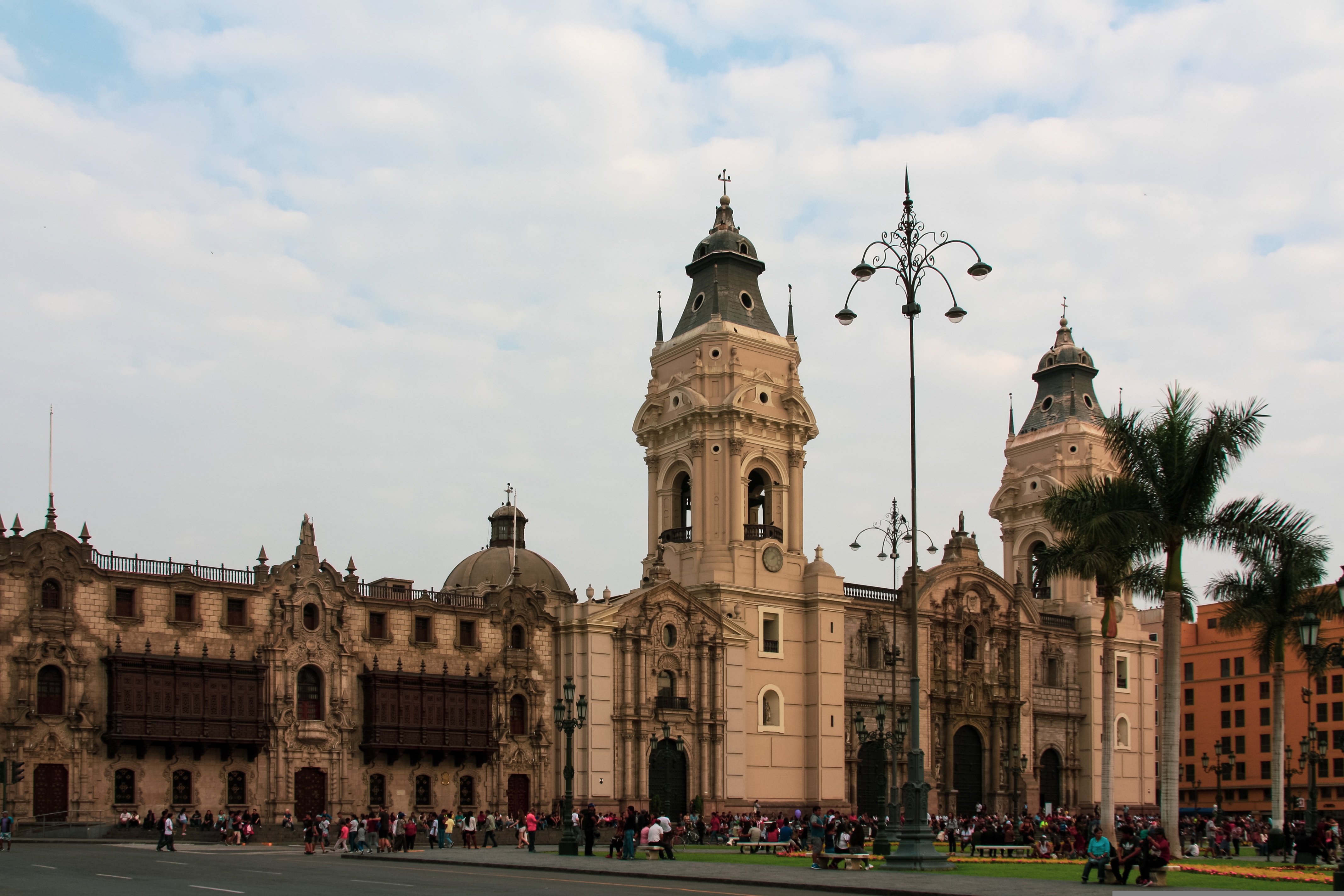
When people discuss great South American cities, Lima is often overlooked. But Peru's capital can hold its own against its neighbors. It has an oceanfront setting, colonial-era splendor, sophisticated dining, and nonstop nightlife.It's true that the city—clogged with traffic and choked with fumes—doesn't make a good first impression, especially since the airport is in an industrial neighborhood. But wander around the regal edifices surrounding the Plaza de Armas, among the gnarled olive trees of San Isidro's Parque El Olivar, or along the winding lanes in the coastal community of Barranco, and you'll find yourself charmed.In 1535 Francisco Pizarro found the perfect place for the capital of Spain's colonial empire. On a natural port, the so-called Ciudad de los Reyes (City of Kings) allowed Spain to ship home all the gold the conquistador plundered from the Inca. Lima served as the capital of Spain's South American empire for 300 years, and it's safe to say that no other colonial city enjoyed such power and prestige during this period.When Peru declared its independence from Spain in 1821, the declaration was read in the square that Pizarro had so carefully designed. Many of the colonial-era buildings around the Plaza de Armas are standing today. Walk a few blocks in any direction for churches and elegant houses that reveal just how wealthy this city once was. But the poor state of most buildings attests to the fact that the country's wealthy families have moved to neighborhoods to the south over the past century.The walls that surrounded the city were demolished in 1870, making way for unprecedented growth. A former hacienda became the graceful residential neighborhood of San Isidro. In the early 1920s the construction of tree-lined Avenida Arequipa heralded the development of neighborhoods such as bustling Miraflores and bohemian Barranco.Almost a third of the country's population of 29 million lives in the metropolitan area, many of them in relatively poor conos: newer neighborhoods on the outskirts of the city. Most residents of those neighborhoods moved there from mountain villages during the political violence and poverty that marked the 1980s and ’90s, when crime increased dramatically. During the past decade the country has enjoyed peace and steady economic growth, which have been accompanied by many improvements and refurbishment in the city. Residents who used to steer clear of the historic center now stroll along its streets. And many travelers who once would have avoided the city altogether now plan to spend a day here and end up staying two or three.
About Callao
When people discuss great South American cities, Lima is often overlooked. But Peru's capital can hold its own against its neighbors. It has an oceanfront setting, colonial-era splendor, sophisticated dining, and nonstop nightlife.It's true that the city—clogged with traffic and choked with fumes—doesn't make a good first impression, especially since the airport is in an industrial neighborhood. But wander around the regal edifices surrounding the Plaza de Armas, among the gnarled olive trees of San Isidro's Parque El Olivar, or along the winding lanes in the coastal community of Barranco, and you'll find yourself charmed.In 1535 Francisco Pizarro found the perfect place for the capital of Spain's colonial empire. On a natural port, the so-called Ciudad de los Reyes (City of Kings) allowed Spain to ship home all the gold the conquistador plundered from the Inca. Lima served as the capital of Spain's South American empire for 300 years, and it's safe to say that no other colonial city enjoyed such power and prestige during this period.When Peru declared its independence from Spain in 1821, the declaration was read in the square that Pizarro had so carefully designed. Many of the colonial-era buildings around the Plaza de Armas are standing today. Walk a few blocks in any direction for churches and elegant houses that reveal just how wealthy this city once was. But the poor state of most buildings attests to the fact that the country's wealthy families have moved to neighborhoods to the south over the past century.The walls that surrounded the city were demolished in 1870, making way for unprecedented growth. A former hacienda became the graceful residential neighborhood of San Isidro. In the early 1920s the construction of tree-lined Avenida Arequipa heralded the development of neighborhoods such as bustling Miraflores and bohemian Barranco.Almost a third of the country's population of 29 million lives in the metropolitan area, many of them in relatively poor conos: newer neighborhoods on the outskirts of the city. Most residents of those neighborhoods moved there from mountain villages during the political violence and poverty that marked the 1980s and ’90s, when crime increased dramatically. During the past decade the country has enjoyed peace and steady economic growth, which have been accompanied by many improvements and refurbishment in the city. Residents who used to steer clear of the historic center now stroll along its streets. And many travelers who once would have avoided the city altogether now plan to spend a day here and end up staying two or three.
About Pisco
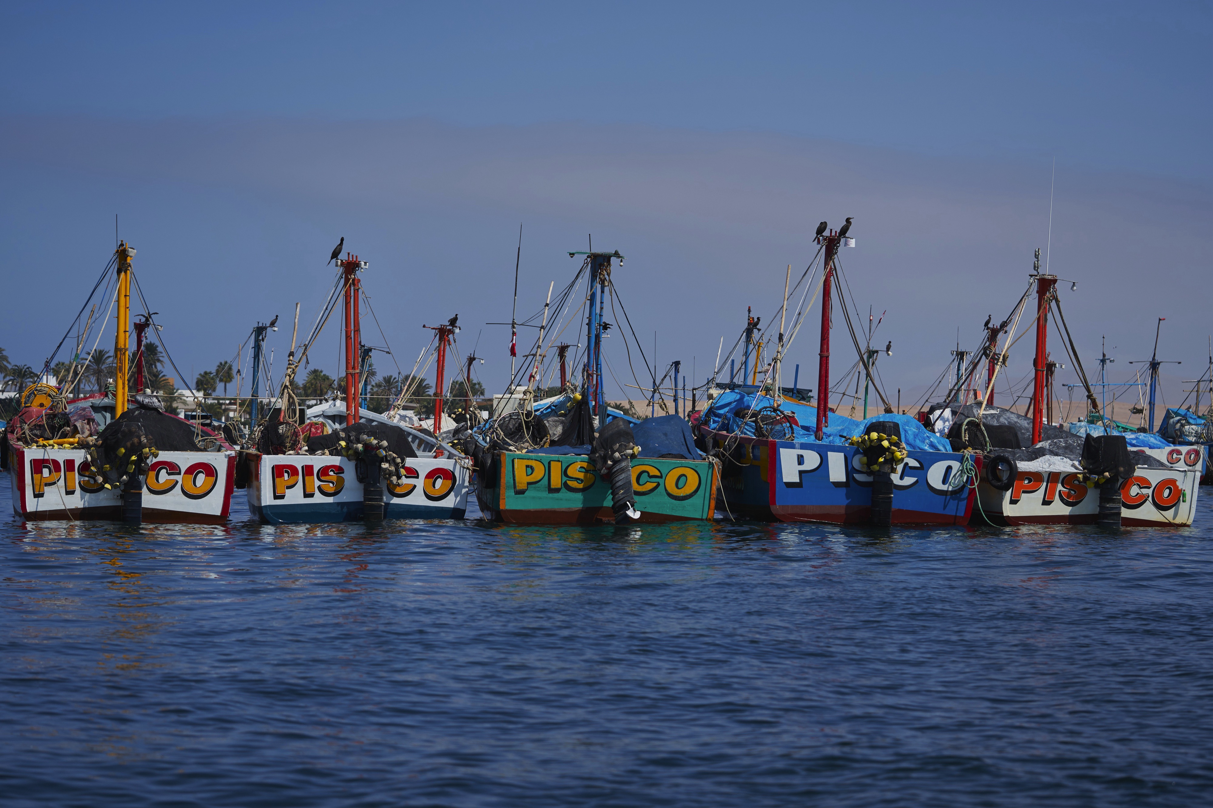
Lending its name to the clear brandy that is Peru's favorite tipple and a source of fierce national pride, the coastal town of Pisco and its surroundings hold a special place in the national psyche. It's the point where the Argentinean hero General San Martín landed with his troops to fight for Peru's freedom from Spanish rule. It's the city from which pisco was first exported, and it's also an important seaport that had its heyday during the 1920s, when guano (bird droppings used as fertilizer) from the nearby Islas Ballestas were worth nearly as much as gold.Modern-day Pisco shows little evidence of its celebrated past. Instead, what you'll find is a city struggling to get back on its feet after the disaster of August 2007, when a magnitude 8 earthquake shook the town for three minutes. Disregard for planning permission, illegal building extensions, and the use of adobe (mud brick) as the main building material had left a vast number of Pisco's buildings unable to withstand the quake, and hundreds of lives were lost as homes, churches, and hospitals collapsed during the tremor.Most travelers now base themselves in Paracas, just a few kilometers down the coast. For travelers wishing to assist in Pisco's recovery, there are numerous opportunities to volunteer. Organizations active in the area vary over time, but a good place to start looking for current opportunities is www.idealist.org. Even those without the time to volunteer should know that every nuevo sol spent in local businesses is contributing to rebuilding the region's economy.
About Arica
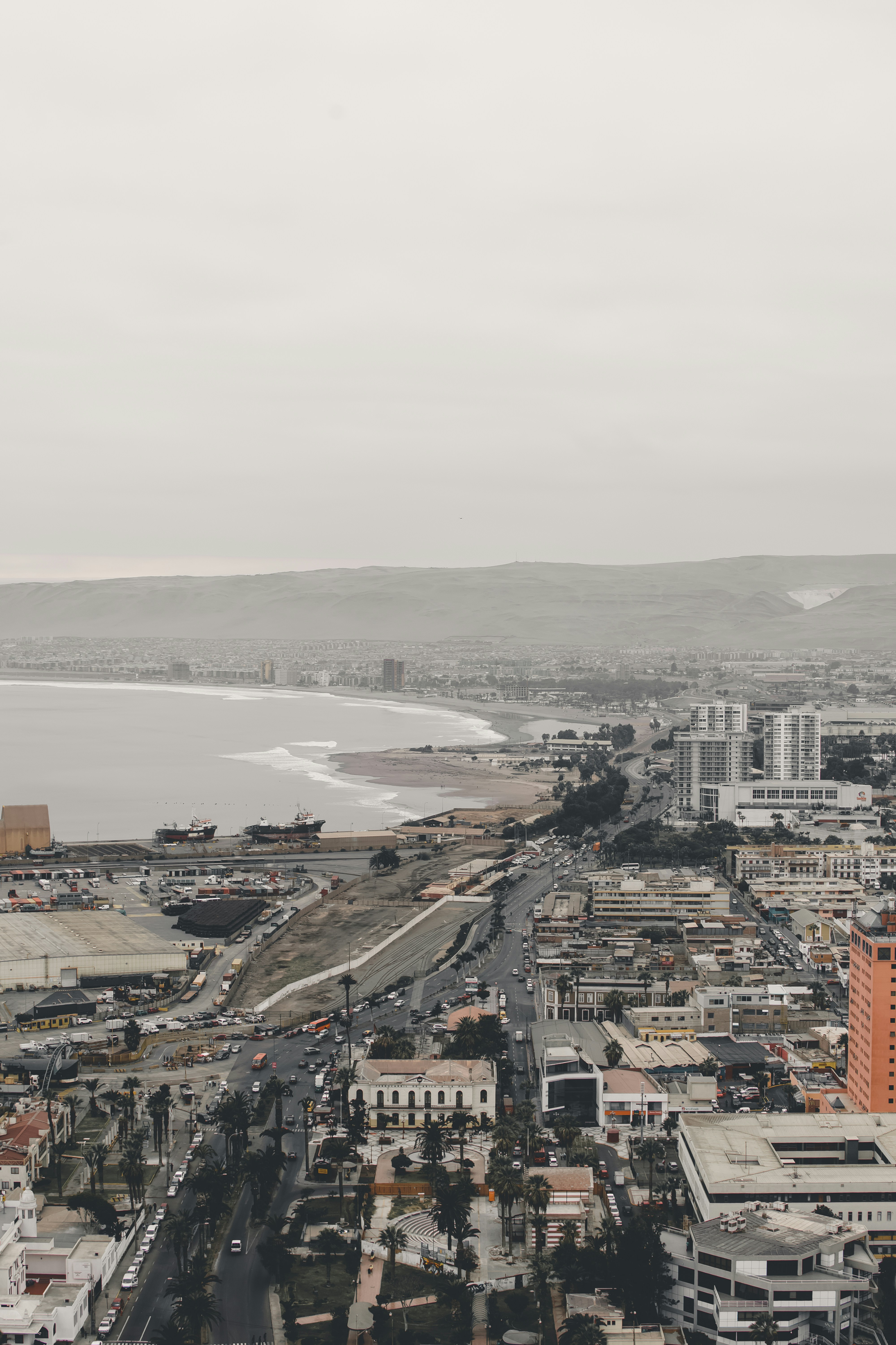
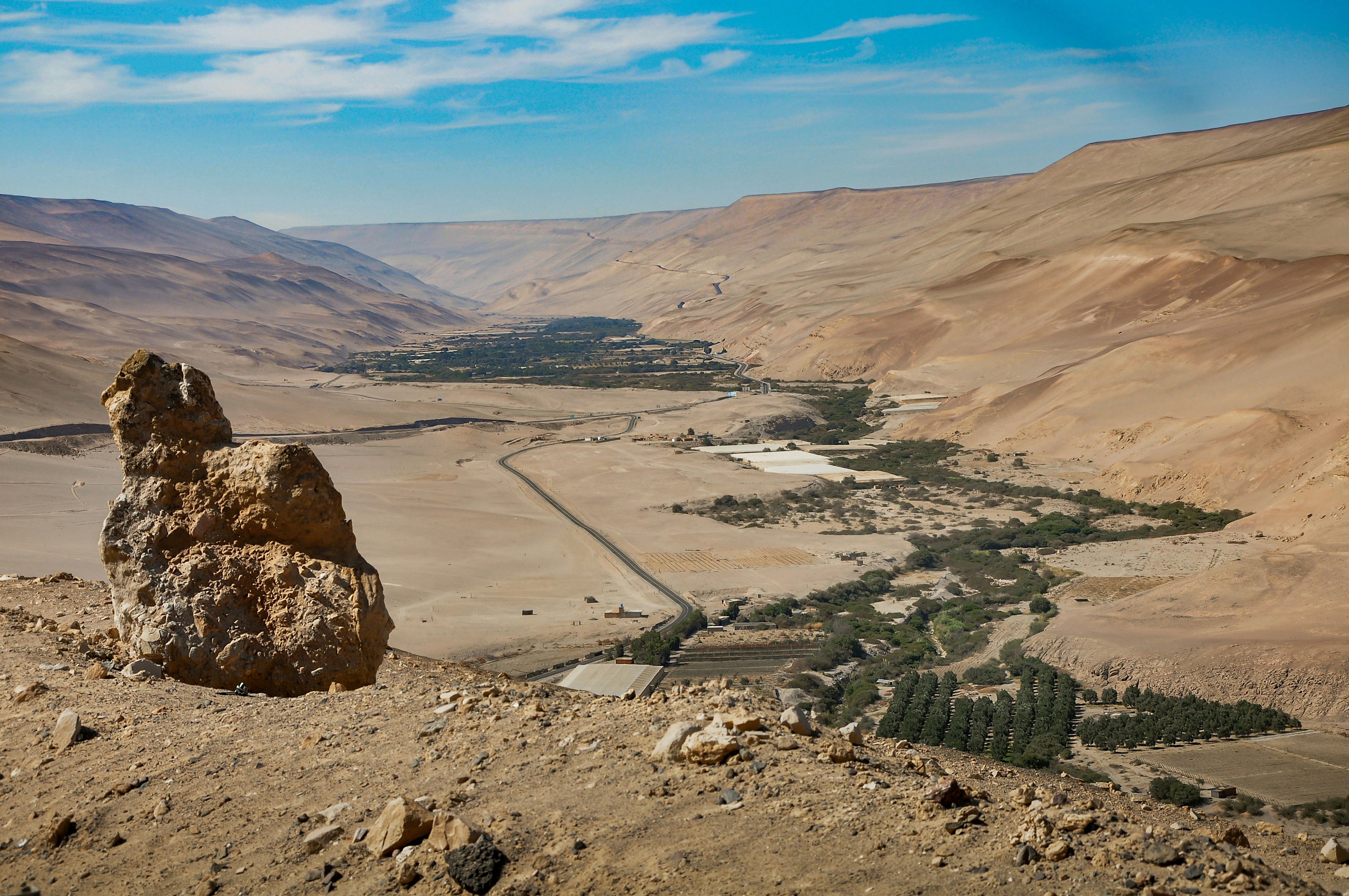
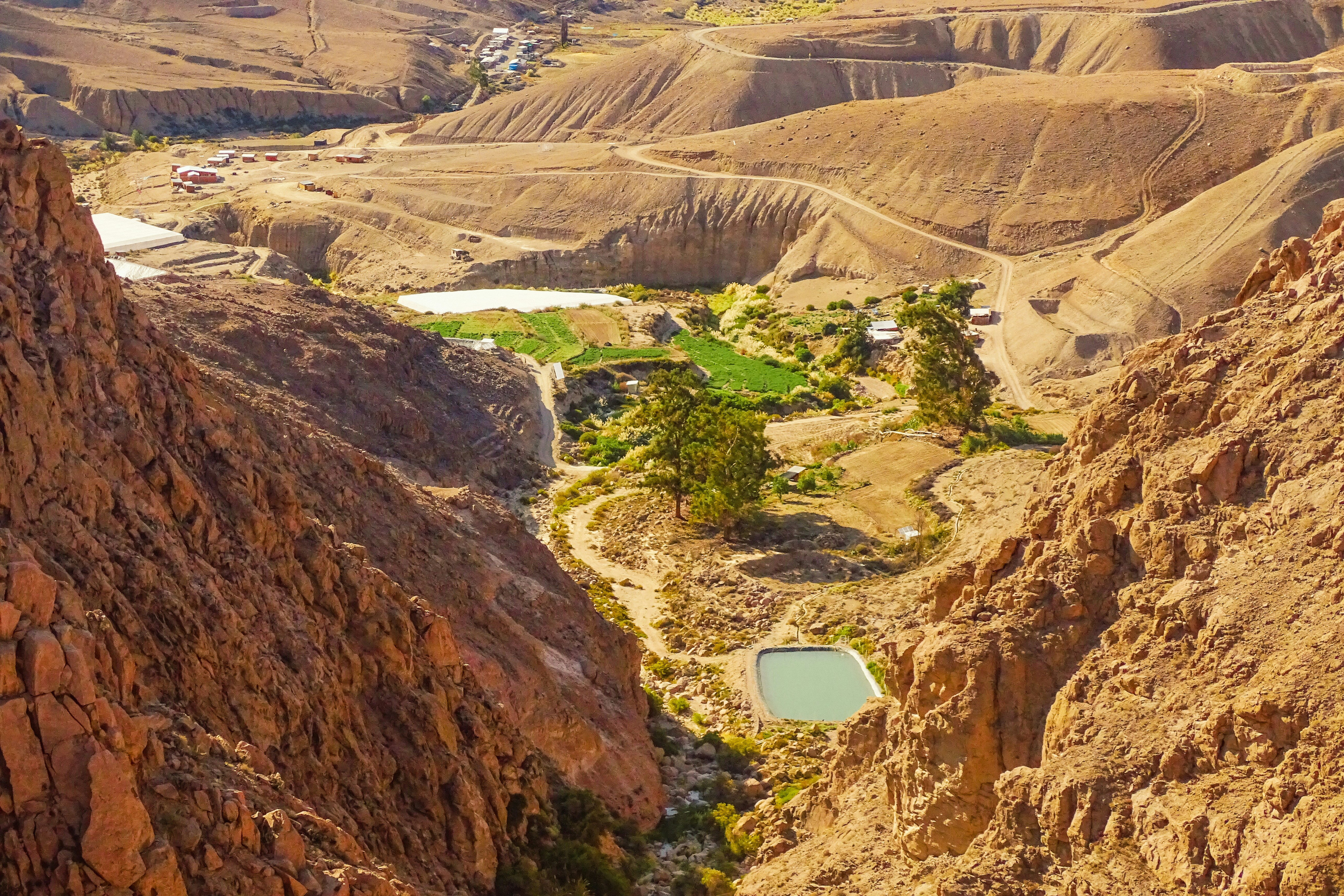
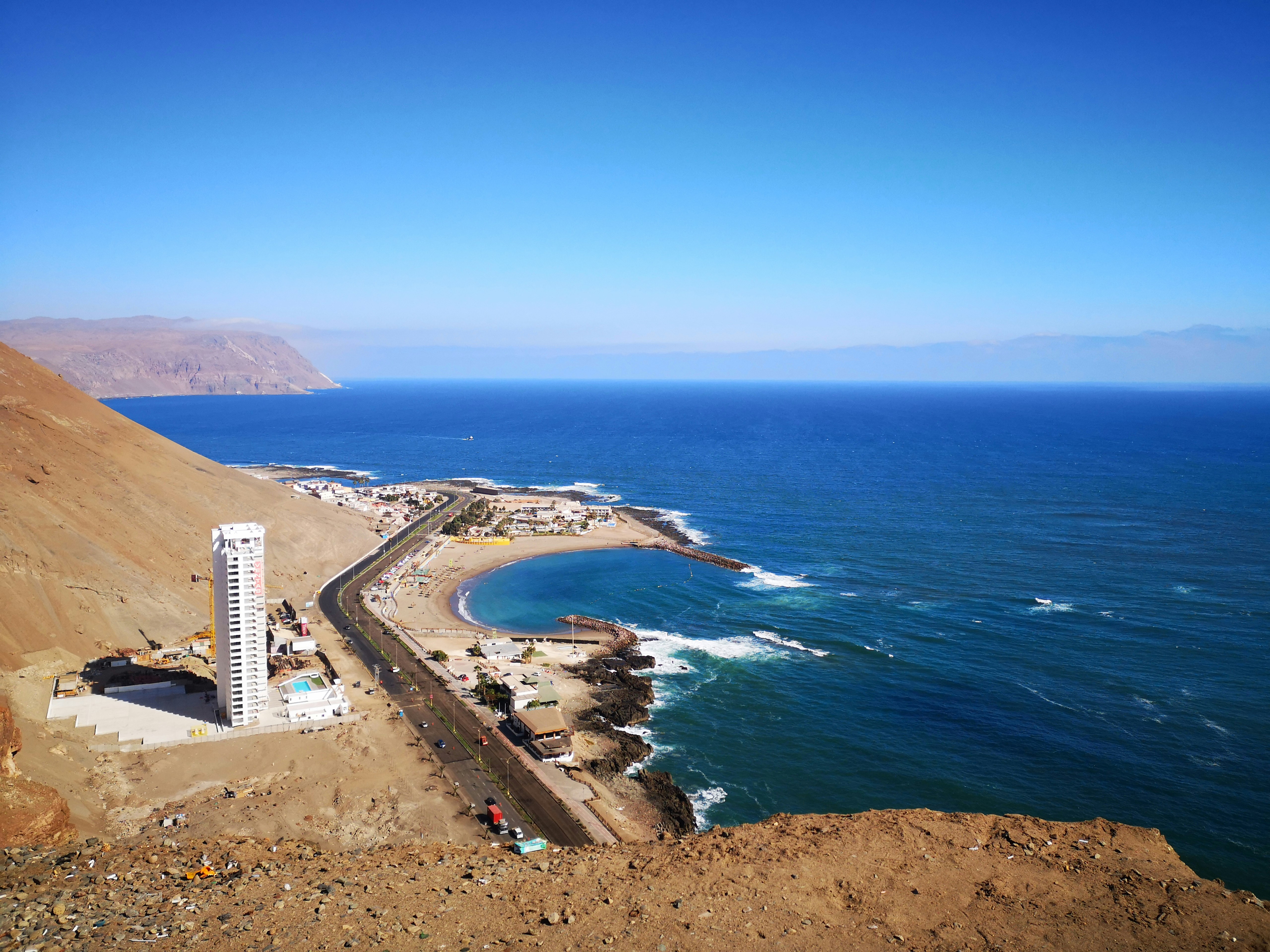
Arica boasts that it is "the land of the eternal spring," but its temperate climate and beaches are not the only reason to visit this small city. Relax for an hour or two on the Plaza 21 de Mayo. Walk to the pier and watch the pelicans and sea lions trail the fishing boats as the afternoon's catch comes in. Walk to the top of the Morro and imagine battles of days gone by, or wonder at the magnitude of modern shipping as Chilean goods leave the port below by container ship.Arica is gaining notice for its great surfing conditions, and in 2009 hosted the Rusty Arica Pro Surf Challenge, a qualifying event to the world series of surf.
About Iquique
About Antofagasta
Situated between the ocean and the mountains of the Coastal Range is Chile’s largest city of the northern region. Antofagasta's role as port for the exportation of nitrate began in 1866. In 1872, when silver was discovered, the first municipality was established. Today, Antofagasta is still the centre of nitrate and copper mining, as well as an important hub for rail traffic to La Paz, Bolivia, and Salta, Argentina. According to the treaty signed after the War of the Pacific, much of Bolivia's international commerce transits through Antofagasta. The area surrounding Antofagasta is renowned for having the highest solar intensity in the world. Its archaeological zones, desert and mountains make it a sought after place for travellers looking for unusual destinations. The city's landscaped plazas are a tribute to man's conquest over the desert. Plaza Colón boasts a landmark Westminster clock donated by the British residents; the design of the old Customs House is an odd combination of Spanish colonial and Swiss chalet-style architecture. The soil in the gardens along Avenida O'Higgins was brought from all over the world as ships' ballast, replaced by nitrate for their return voyages. Arriving by sea presents the best view of Antofagasta's unique setting between the ocean, the desert and the mountains – arguably the city's most impressive feature. Please Note: Due to the limited tourism infrastructure in this port, the buses and guides may not be up to Western standards but are the best available in this particular area. Local conditions may be challenging, therefore we urge flexibility and understanding as we visit these unique, and somewhat remote destinations. Pier Information The ship is scheduled to dock at the Port of Antofagasta, located about 2 miles (3 km) from the town centre. Taxis are not allowed inside the port. Shopping The major shopping area for local goods is found along the three-block pedestrian zone. A handicrafts market is located in the Plaza del Mercado, featuring articles made by artists in the High-Plateau area. Most shops open a 9:30 a.m. and close between 1:30 p.m. and 4:00 p.m. The local currency is the peso. Cuisine For good food with an excellent view, beach and swimming pool, the Hotel Antofagasta is worth a try. The Yacht Club is also noted for fine cuisine and a great view of the old harbour. Other Sites In addition to the attractions covered on the organized tour, sports enthusiasts will find a golf course with sand greens. Guests interested should check with the Shore Concierge Office on board well in advance for availability and reservations. Please bear in mind that mostly Spanish speaking visitors frequent this region; English is not widely spoken. Private arrangements for independent sightseeing may be requested through the Shore Concierge Office on board, subject to the availability of English-speaking guides. There are no sedans available, only vans.
About Coquimbo
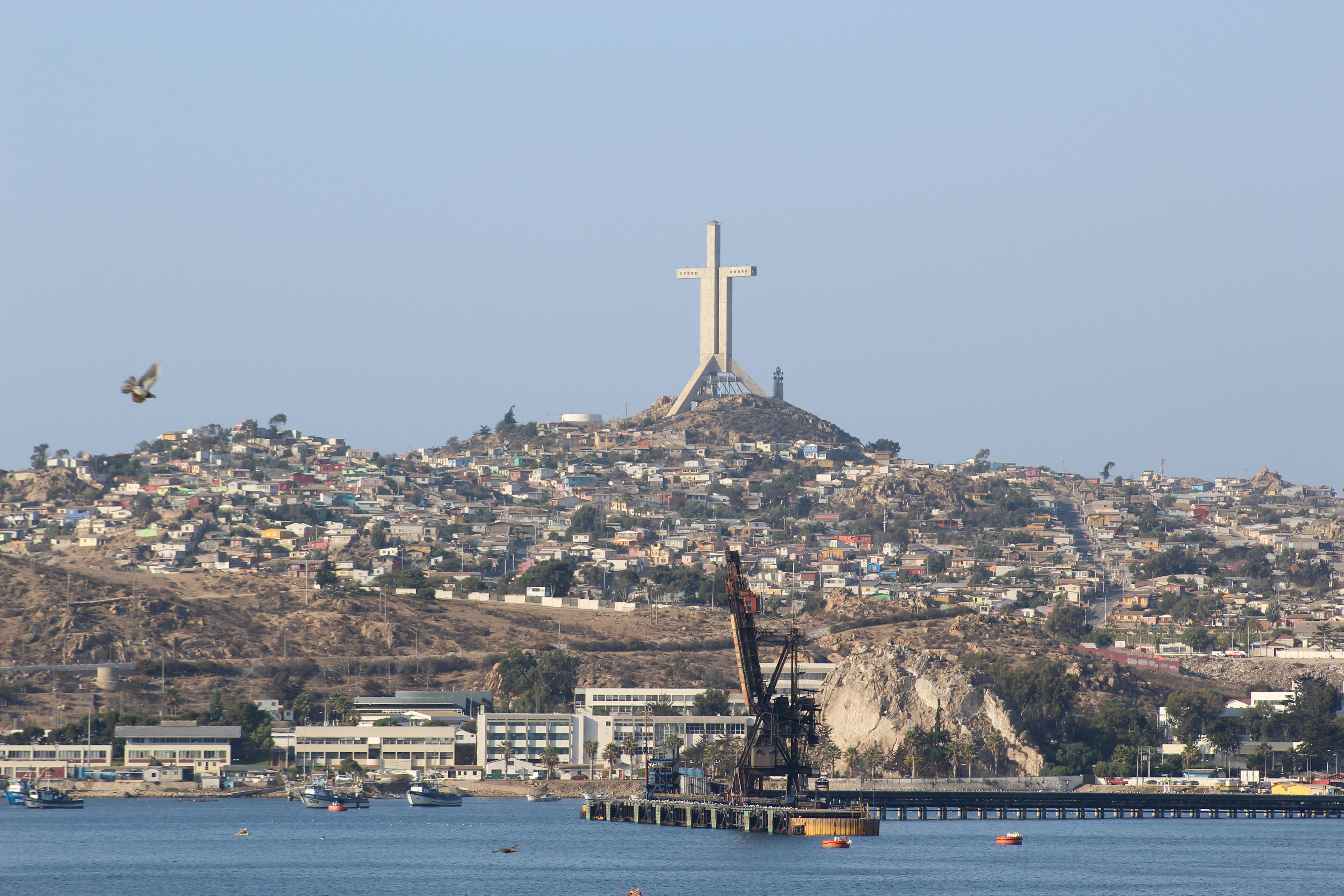
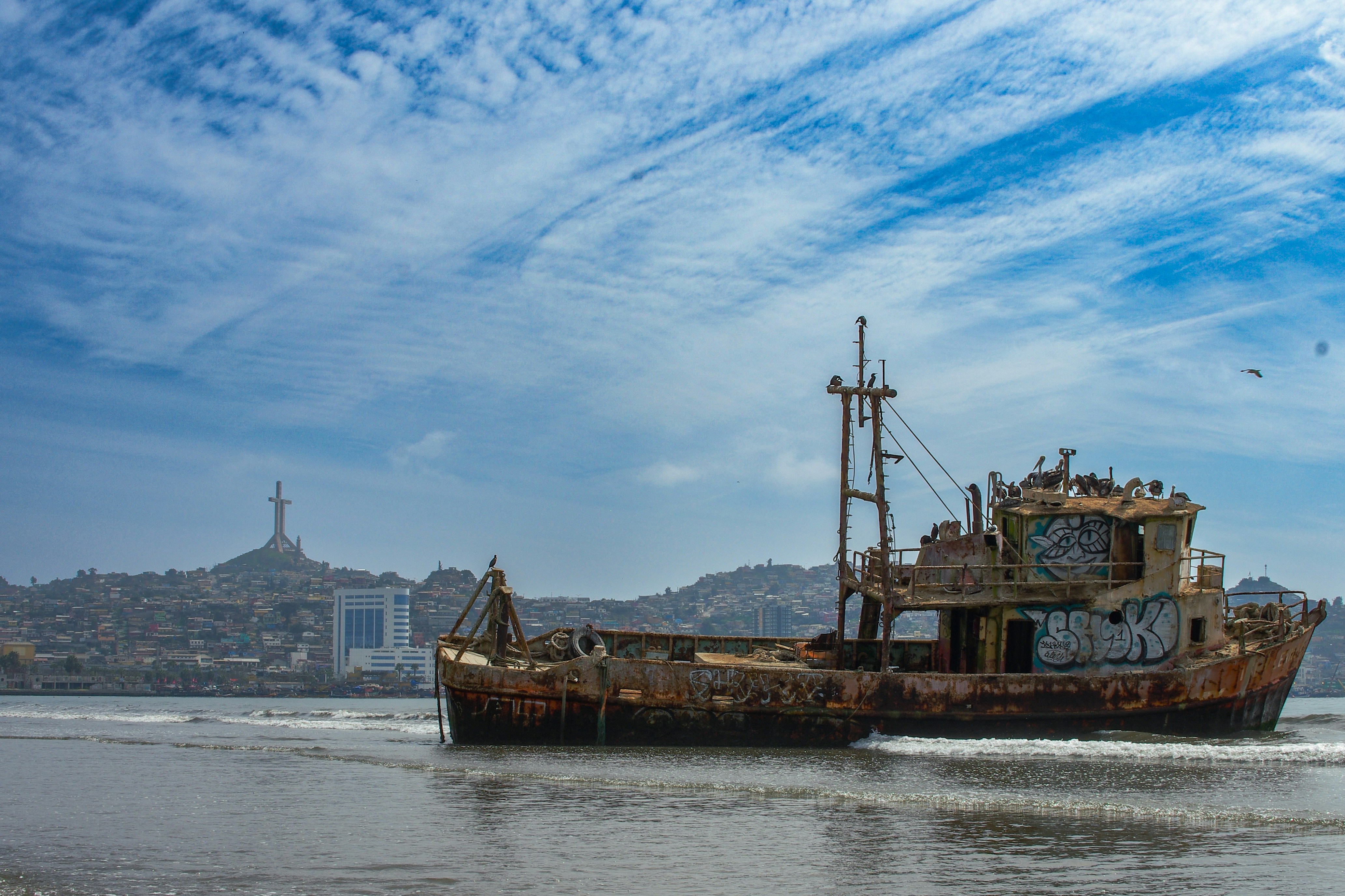
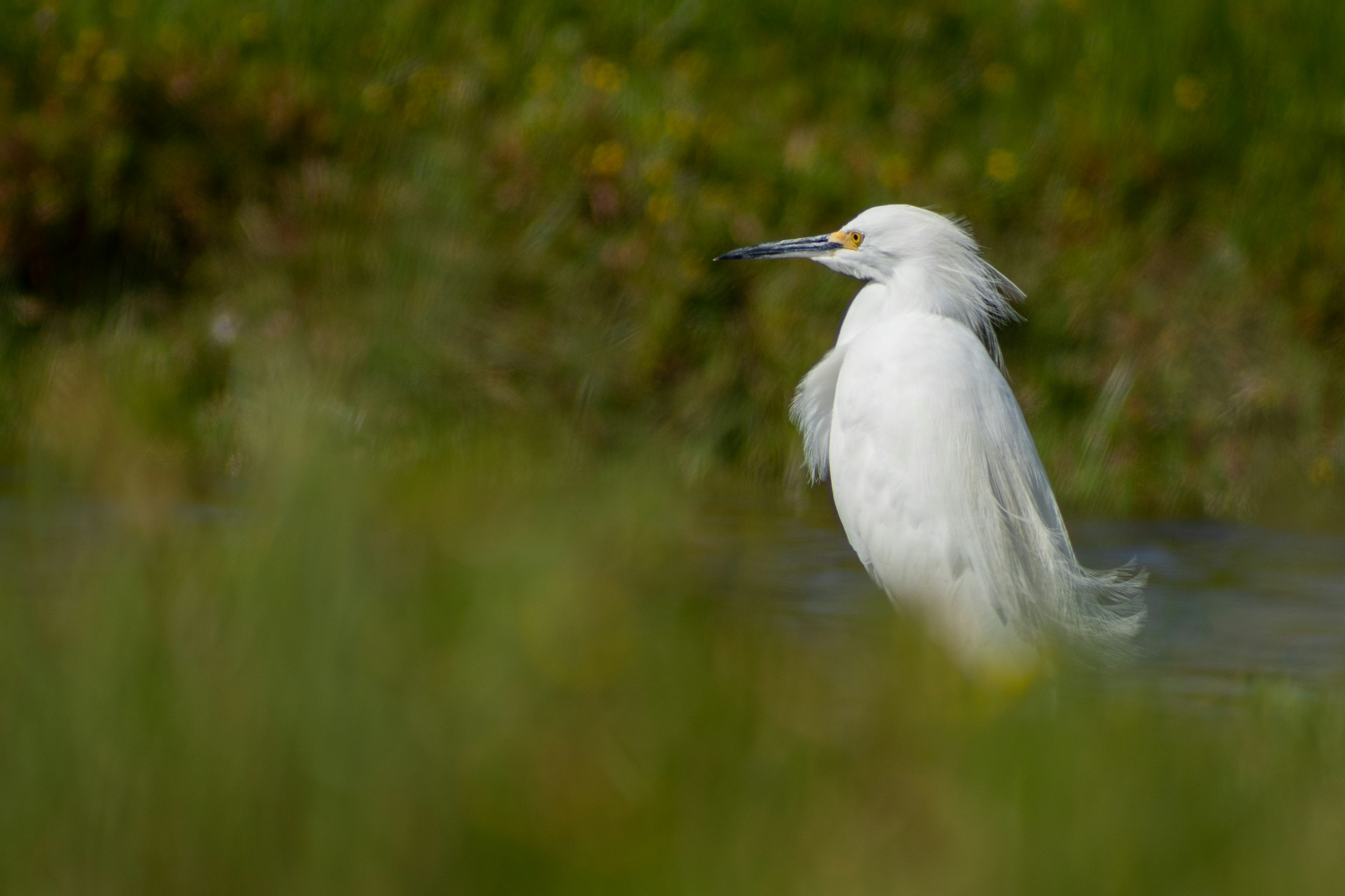
The name Coquimbo is derived from a native Diaguita word meaning 'place of calm waters'. In fact, Charles Darwin had noted that the town was 'remarkable for nothing but its extreme quietness'. Since then, Coquimbo has developed into a bustling port and the region's major commercial and industrial centre from which minerals, fish products and fruits are exported. Used during the colonial period as a port for La Serena, Coquimbo attracted attention from English pirates, including Sir Francis Drake, who visited in 1578. Visitors enjoy strolling around the town, admiring some of the elaborate woodwork handcrafted on buildings by early British and American settlers. These wooden buildings are among Chile's most interesting historical structures. Out of town, the area offers some fine beaches in a desert-like setting. Coquimbo serves as a gateway to the popular resort town of La Serena and trips farther into the Elqui Valley, known as the production centre for Chile's national drink, pisco sour. The valley is also home to several international observatories that take advantage of the region's exceptional atmospheric conditions.
About Valparaiso
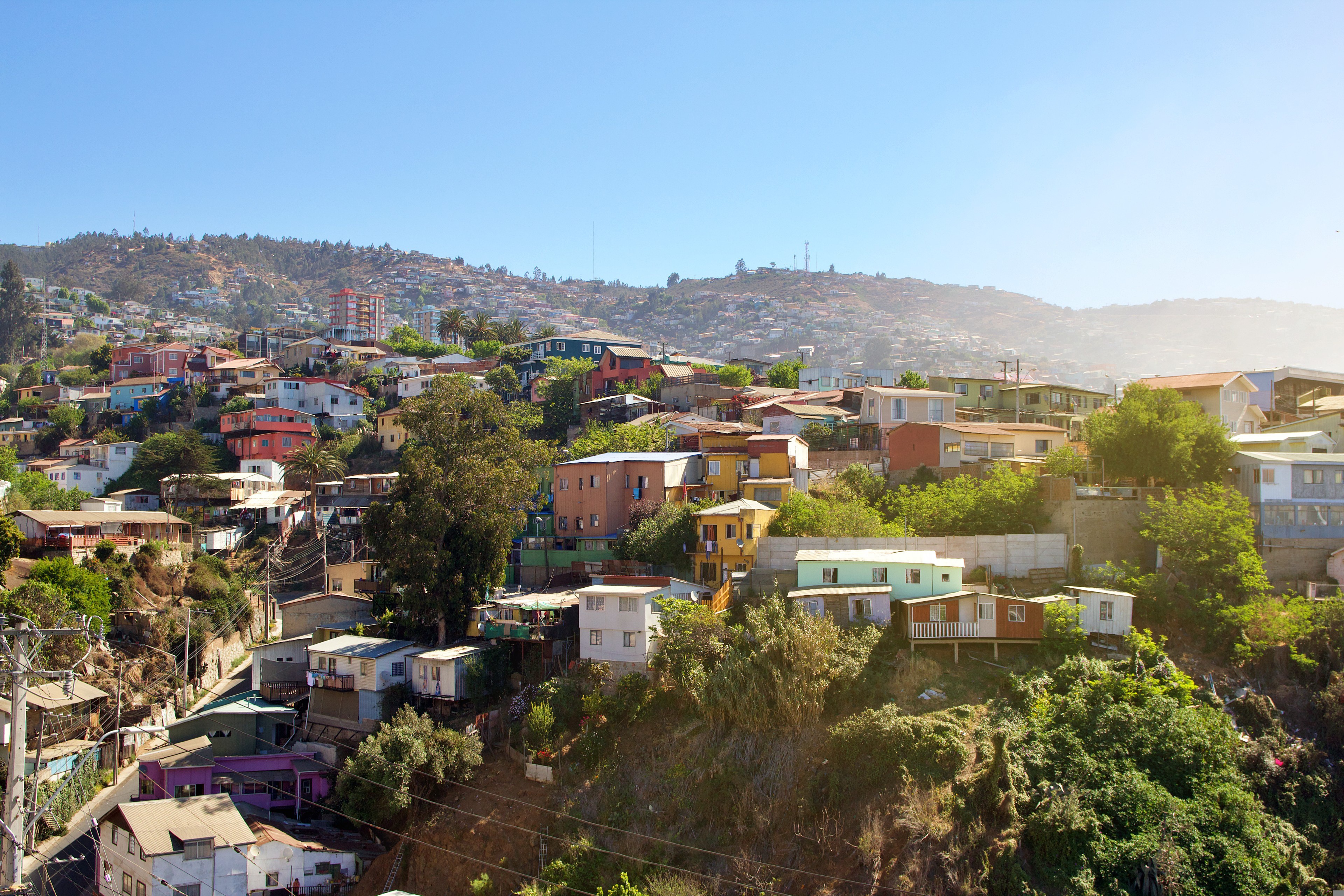
Valparaíso's dramatic topography—45 cerros, or hills, overlooking the ocean—requires the use of winding pathways and wooden ascensores (funiculars) to get up many of the grades. The slopes are covered by candy-color houses—there are almost no apartments in the city—most of which have exteriors of corrugated metal peeled from shipping containers decades ago. Valparaíso has served as Santiago's port for centuries. Before the Panama Canal opened, Valparaíso was the busiest port in South America. Harsh realities—changing trade routes, industrial decline—have diminished its importance, but it remains Chile's principal port. Most shops, banks, restaurants, bars, and other businesses cluster along the handful of streets called El Plan (the flat area) that are closest to the shoreline. Porteños (which means "the residents of the port") live in the surrounding hills in an undulating array of colorful abodes. At the top of any of the dozens of stairways, the paseos (promenades) have spectacular views; many are named after prominent Yugoslavian, Basque, and German immigrants. Neighborhoods are named for the hills they cover. With the jumble of power lines overhead and the hundreds of buses that slow down—but never completely stop—to pick up agile riders, it's hard to forget you're in a city. Still, walking is the best way to experience Valparaíso. Be careful where you step, though—locals aren't very conscientious about curbing their dogs.
About Robinson Crusoe Island
About Alejandro Selkirk Island
Alejandro Selkirk Island is part of the Juan Fernandez archipelago. The island itself was renamed in 1966 after the marooned sailor who served as the template for Daniel Defoe’s novel Robinson Crusoe, although Alejandro Selkirk was a castaway on a different island, named Robinson Crusoe Island. Alejandro Selkirk is located 165 kilometres west of the other islands in the archipelago. Throughout much of its history, the island has been uninhabited, although there is a former penal settlement on the middle of the east coast, which operated from 1909 to 1930. During the summer months, Selkirk welcomes a community of lobster fishermen and their families who come from Robinson Crusoe. As part of the Chilean National Park, it also holds the UNESCO World Biosphere Reserve title. The island is home to a number of rare and endangered plant and animal species. One of those iconic species—the Masafuera Rayadito—is found only on Selkirk; its global population numbers in the low hundreds and it is of particular interest to researchers and those looking to prevent species extinctions.
About Hangaroa, Easter Island
Discovered (by the Western world) on Easter Sunday, 1722, Easter Island is a UNESCO World Heritage Site and one of the most isolated places on the face of the Earth, some 2,300 miles from the Chilean mainland. Although more Polynesian than South American in character, the 64-square mile island was annexed by Chile in 1888, and is now famous as the world’s largest ‘open air museum’ on account of the Moai, or human-like stone statues, that can be found on the island. The Moai remain very much a mystery, which archaeologists are still trying to unlock by interpreting an ancient language of the Rapa Nui, which is the key to understanding this culture, and is written on the so called ‘rongo rongo tablets’. The island owes its origin to three volcanoes which erupted some three million years ago: Poike, Rano Kau and Maunga Terevaka. It is not known when or how the island was first populated, but the most credible theory suggests that the Rapa Nui people came from other Pacific islands in the 4th century AD. In addition to the cultural and archaeological interest, there are the beautiful beaches, transparent waters, and coral reefs that might be expected of a Pacific Island.

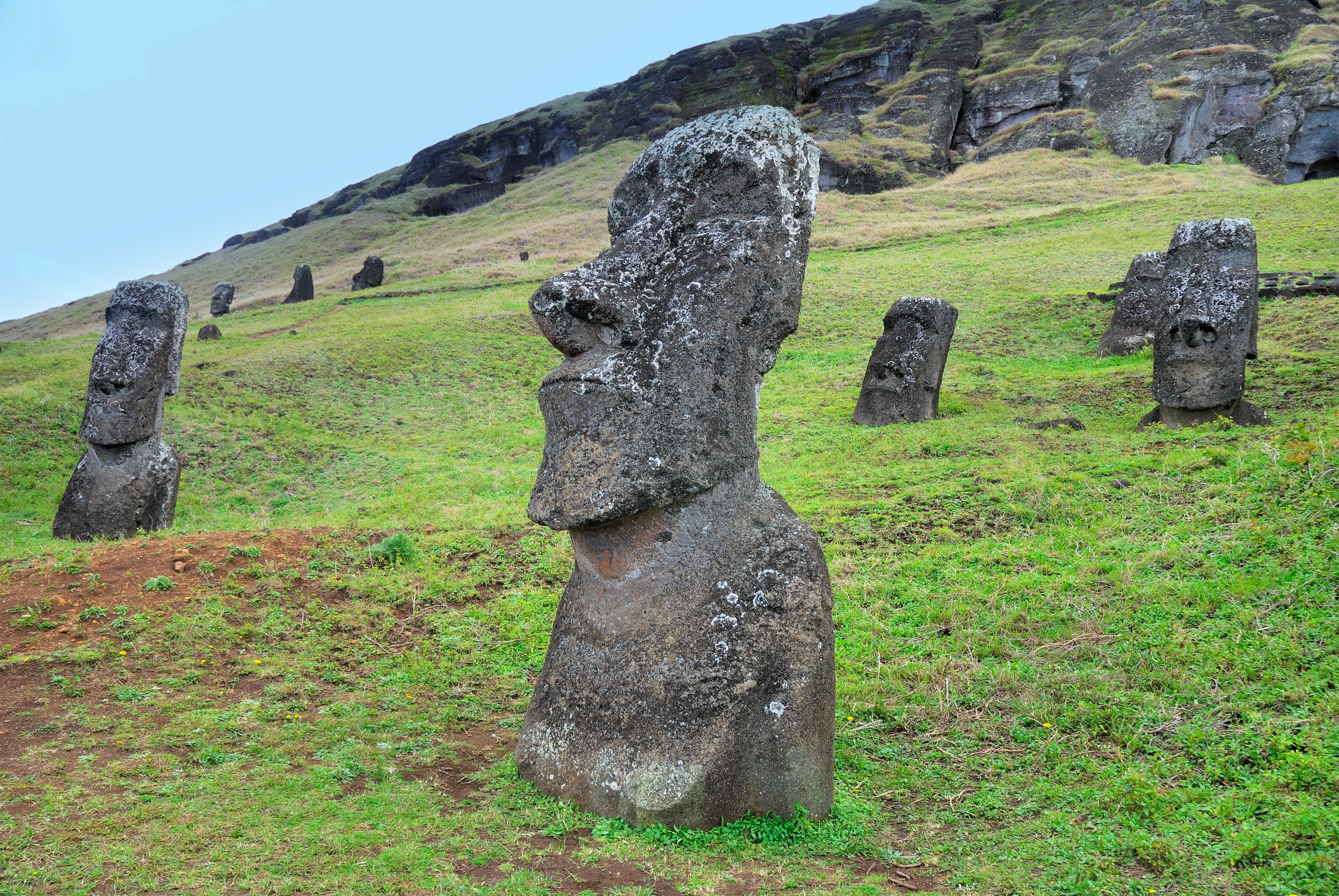
About Hangaroa, Easter Island
Discovered (by the Western world) on Easter Sunday, 1722, Easter Island is a UNESCO World Heritage Site and one of the most isolated places on the face of the Earth, some 2,300 miles from the Chilean mainland. Although more Polynesian than South American in character, the 64-square mile island was annexed by Chile in 1888, and is now famous as the world’s largest ‘open air museum’ on account of the Moai, or human-like stone statues, that can be found on the island. The Moai remain very much a mystery, which archaeologists are still trying to unlock by interpreting an ancient language of the Rapa Nui, which is the key to understanding this culture, and is written on the so called ‘rongo rongo tablets’. The island owes its origin to three volcanoes which erupted some three million years ago: Poike, Rano Kau and Maunga Terevaka. It is not known when or how the island was first populated, but the most credible theory suggests that the Rapa Nui people came from other Pacific islands in the 4th century AD. In addition to the cultural and archaeological interest, there are the beautiful beaches, transparent waters, and coral reefs that might be expected of a Pacific Island.
About Ducie Island
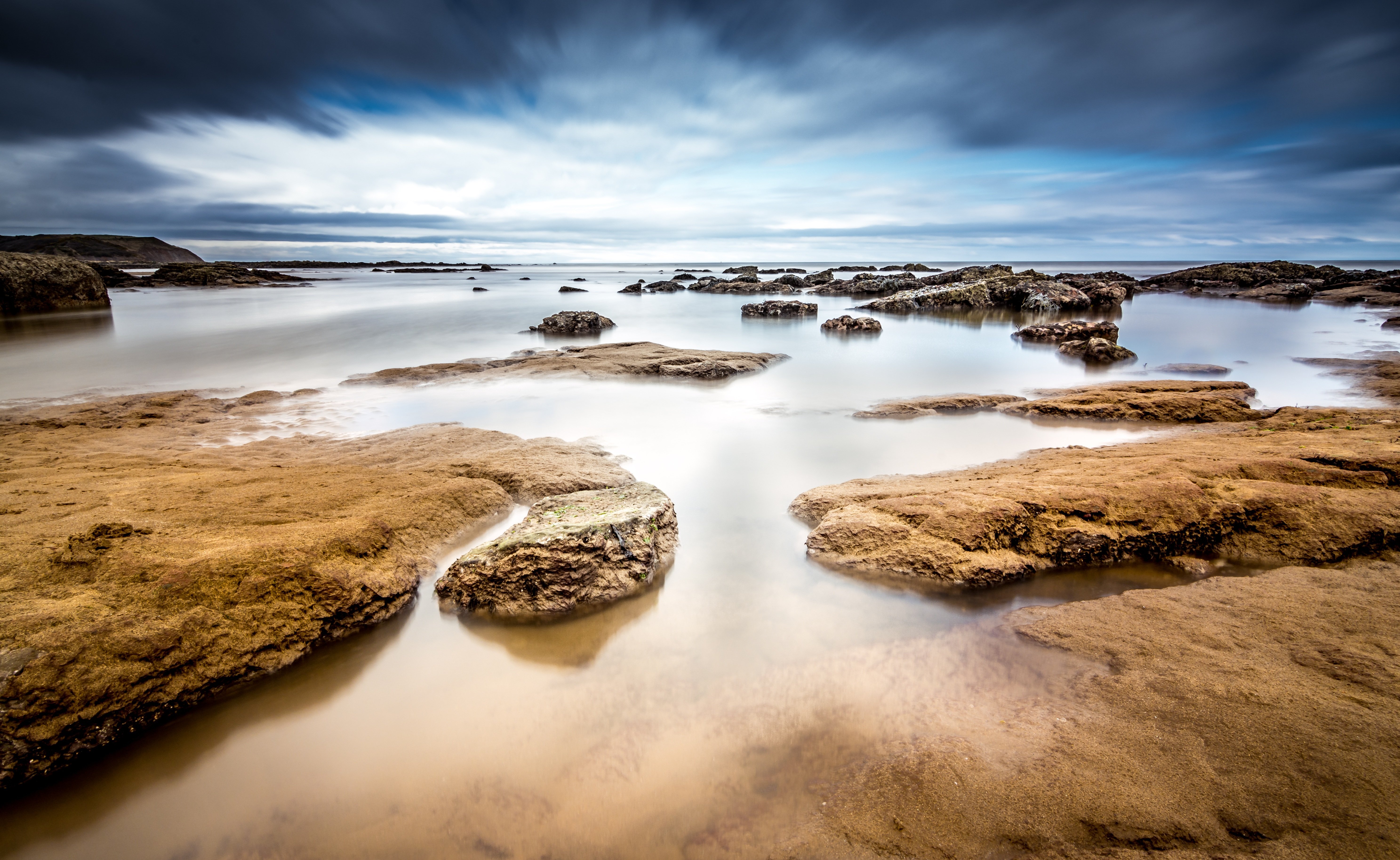
Discovered in 1606 by a Portuguese explorer, Ducie is a small isolated atoll and is the easternmost of the Pitcairn Islands. The island’s most prominent bit of history is the 1881 wreckage of the mail ship Acadia, which ran aground on the island when the lookout mistook the island for a cloud due to its white beaches. Ducie is a mere speck in the surrounding expanse of ocean, uninhabited except for the estimated 500,000 nesting seabirds that reside among the two plant species (Beach Heliotrope and at least one specimen of Pemphis) that grow over seventy percent of the island. Bird species that visitors may be able to see include Murphy's Petrels, White Terns, Great Frigate birds and Masked Boobies. Snorkelers love to visit the top of the wreck of the Acadia or in the atoll’s lagoon waters.
About Pitcairn Island
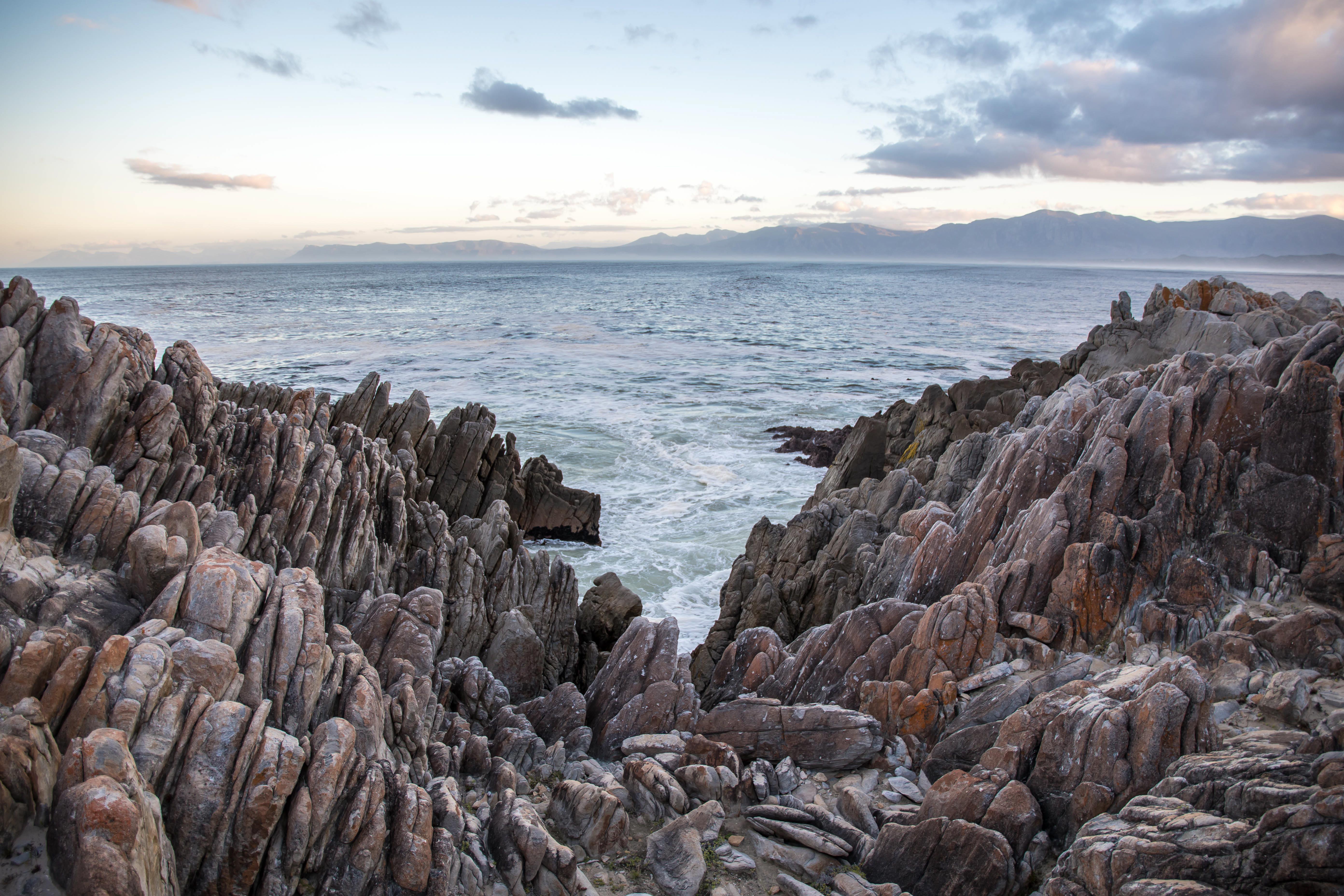
With a total of 56 residents on the island, Adamstown is the capital of the Pitcairn Islands and the only populated settlement, as all of the other Pitcairn Islands are uninhabited (although were populated by Polynesians in the 11th through 15th centuries). Halfway between Peru and New Zealand, Pitcairn was the perfect hiding spot for the famed HMS Bounty mutineers and their Tahitian wives. Not only had the island been misplaced on early maps of the region, but it can also be very difficult to come ashore as large breakers tend to build up just in front of the small harbour of Bounty Bay. On shore visit the local museum that houses the HMS Bounty Bible, the historic Adamstown Church, view Fletcher Christian’s cave, or keep an eye out for the Pitcairn Reed Warbler.
About Mangareva Island
In the Gambier Islands of French Polynesia, Mangareva is the largest island with a population of over 1,200 people. Most live in the largest village on the island, Rikitea. A high central ridge runs the length of Mangareva peaking with Mt. Duff, which rises over 440 meters from the sea on the island's south coast. The island has a large lagoon sprinkled with coral reefs whose tropical fish helped ancient islanders survive much more successfully than on nearby islands with no reefs. Small ships are able to enter the lagoon of Mangareva. From inside the atoll it is possible to reach Mangareva’s main town. Ashore visitors can walk through the town or up the sides of Mt. Duff. The highlights in town include the cathedral with its mother-of-pearl shell objects designed by the students of Rikitea’s school.
About Tuamotu Archipelago
About Fakarava
About Papeete, Tahiti
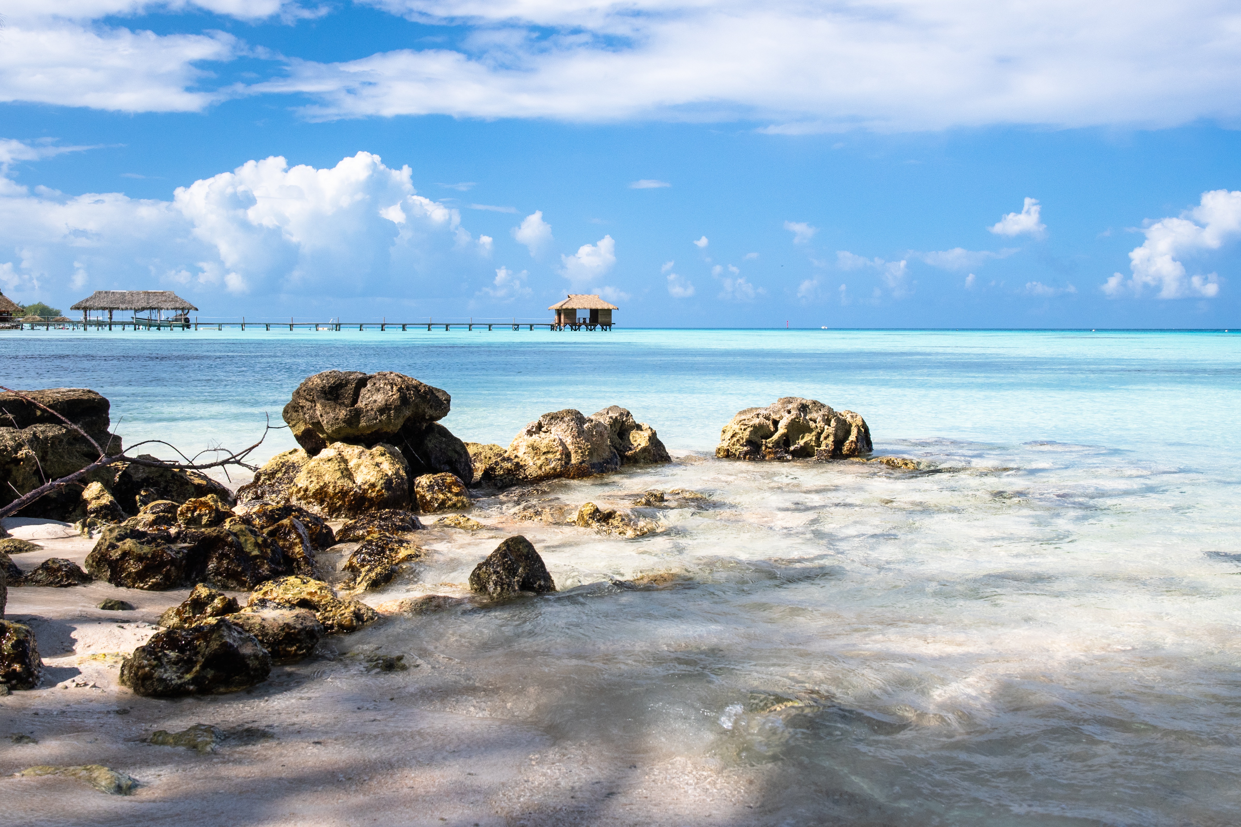
Papeete will be your gateway to the tropical paradise of French Polynesia, where islands fringed with gorgeous beaches and turquoise ocean await to soothe the soul. This spirited city is the capital of French Polynesia, and serves as a superb base for onward exploration of Tahiti – an island of breathtaking landscapes and oceanic vistas. Wonderful lagoons of crisp, clear water beg to be snorkelled, stunning black beaches and blowholes pay tribute to the island's volcanic heritage, and lush green mountains beckon you inland on adventures, as you explore extraordinary Tahiti. Visit to relax inside picturesque stilted huts, which stand out over shimmering water, as you settle into the intoxicating rhythm of life, in this Polynesian paradise.
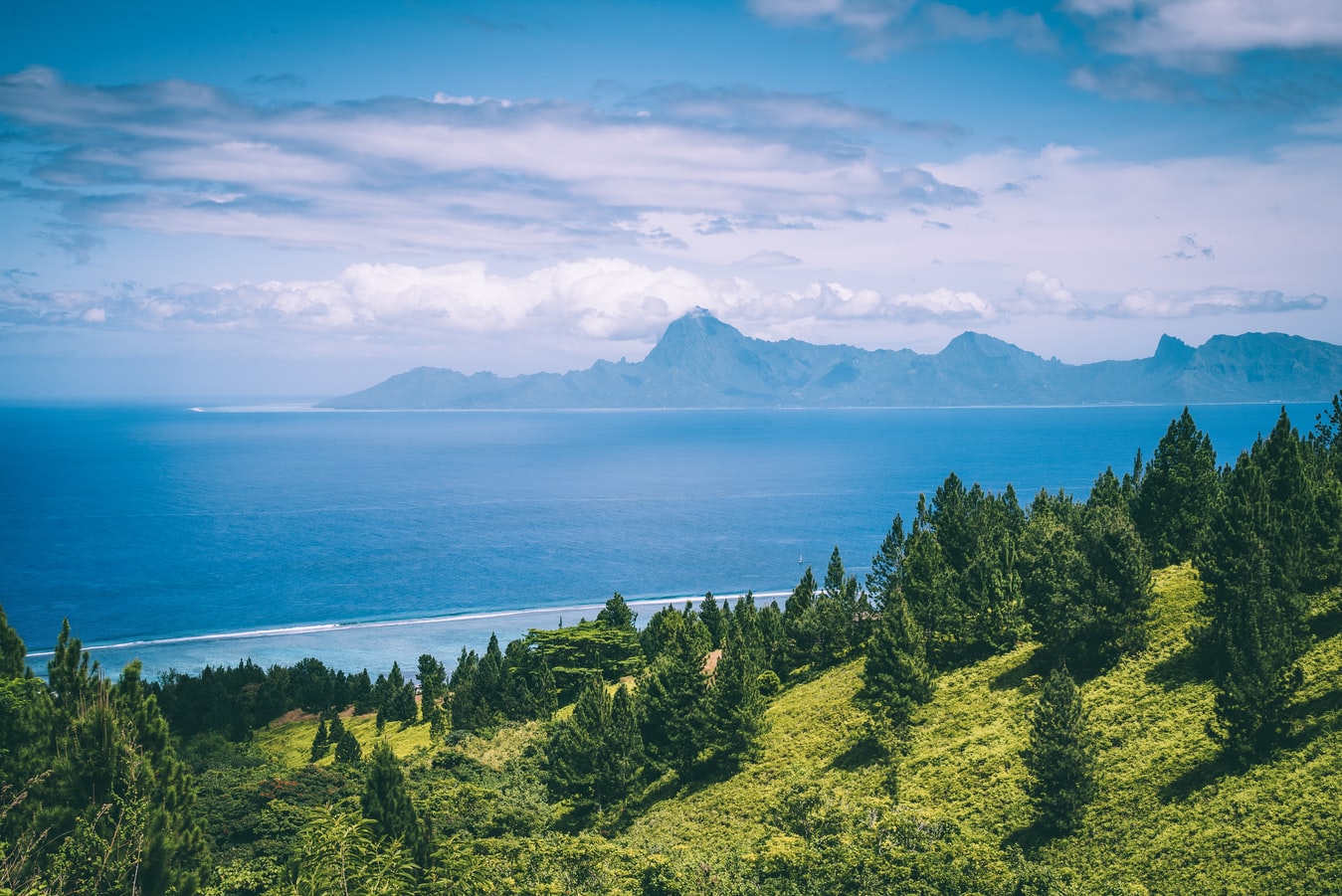
About Moorea
Mo’orea is one of the Society Islands of the French Polynesia. Located in the South Pacific, it is considered a magical island thanks to its majestic volcanic mountains, set against warm lagoon waters and green meadows. It is an island that attracts visitors of all abilities wanting to explore both above and below the ocean waters.
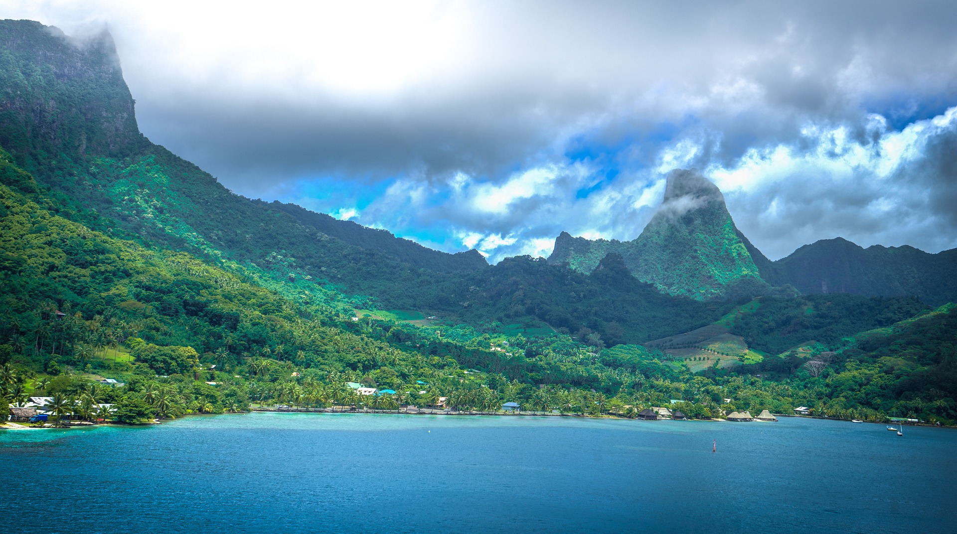
About Bora-Bora
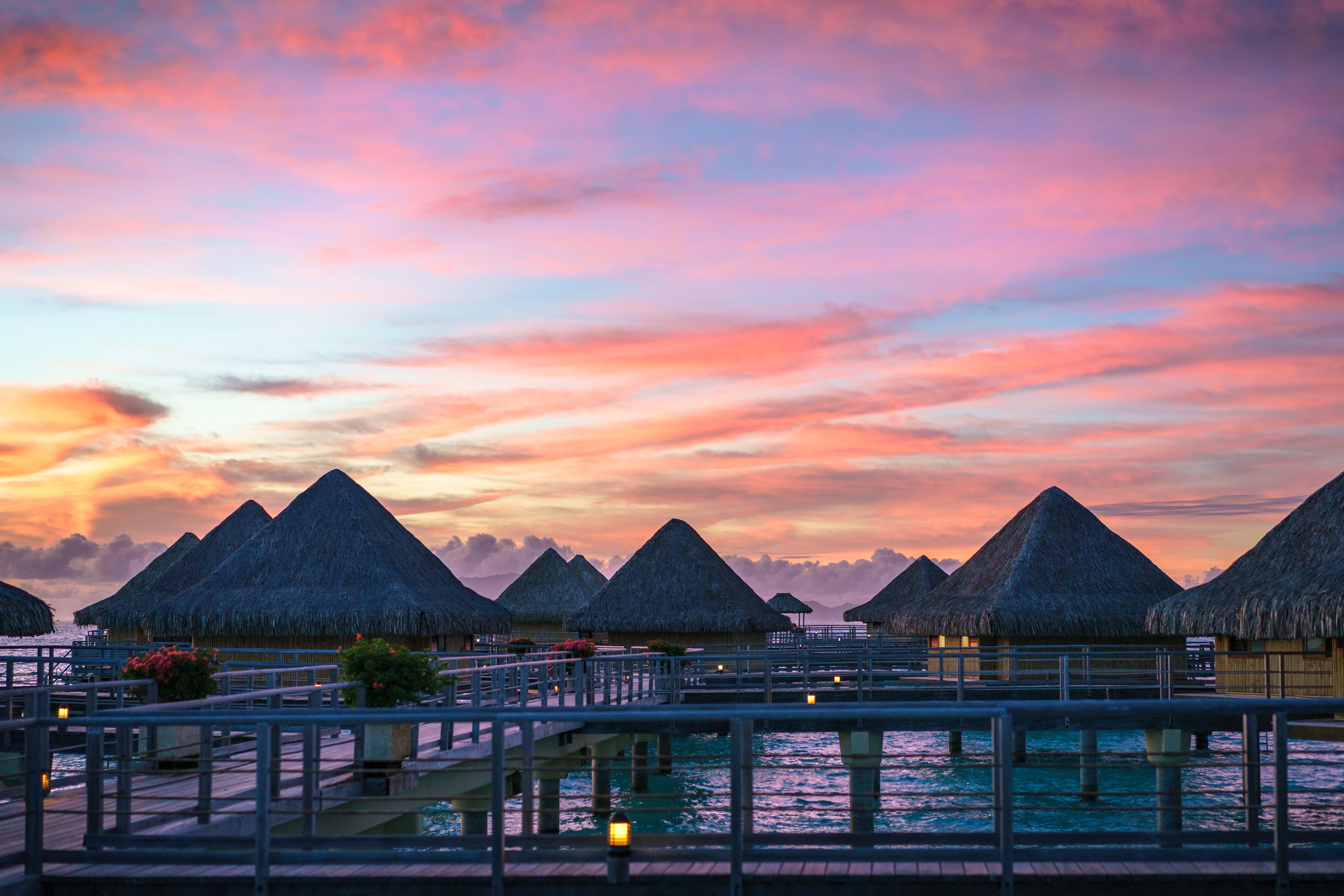
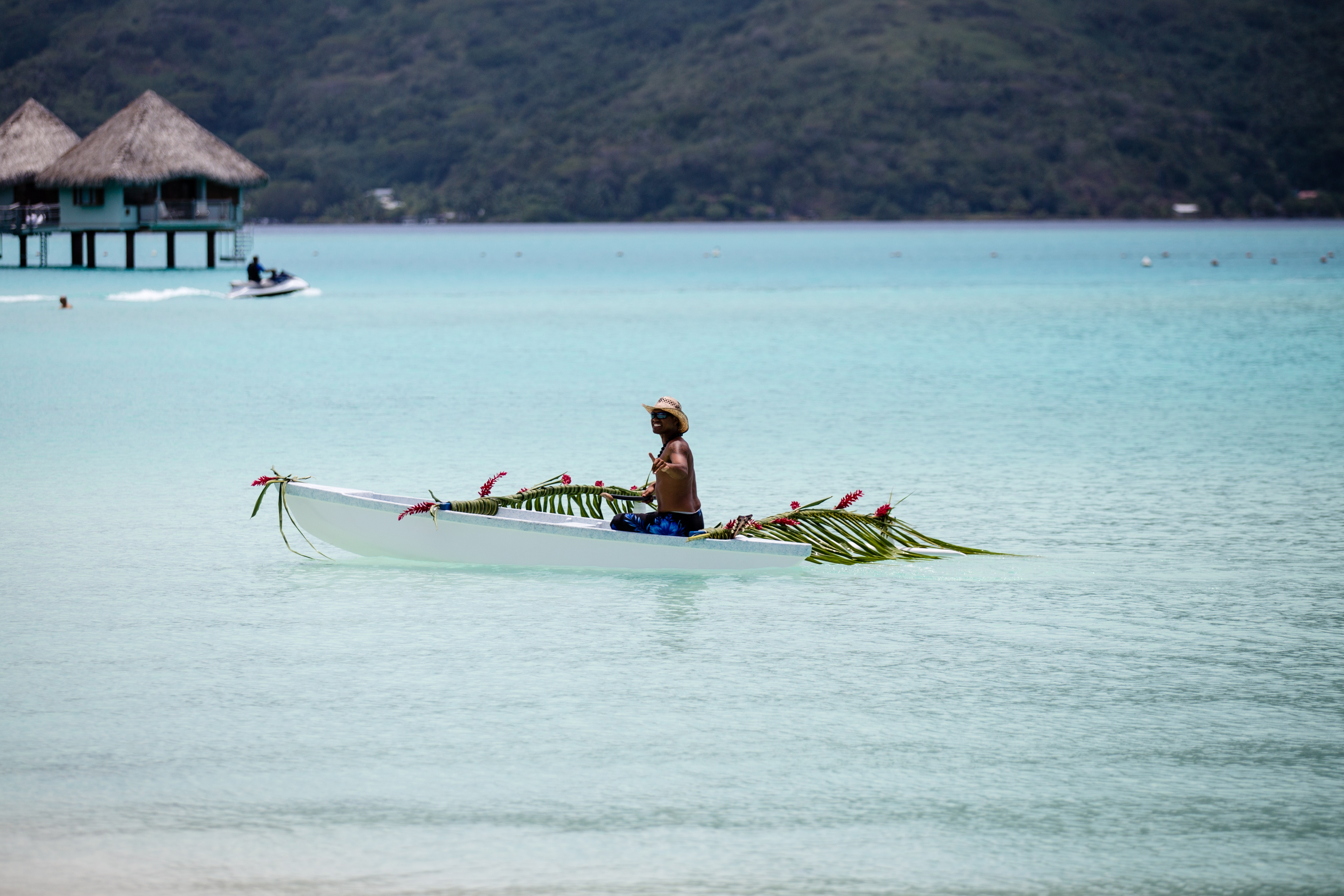
Simply saying the name Bora Bora is usually enough to induce gasps of jealousy, as images of milky blue water, sparkling white beaches and casually leaning palm trees immediately spring to mind. The imagination doesn't lie, either, and if you visit, you’ll soon realise this island is every bit as gorgeous as you ever imagined. Thatched wooden huts stand out over shallow, sparkling seawater, with vivid fish swirling just below. Soak up the sun, scuba dive, or simply revel in the opulent luxury of one of the island's many magnificent resorts. If blissful inactivity doesn't appeal, then get active, and hike the greenery of the sharp Mount Pahia.
About Aitutaki
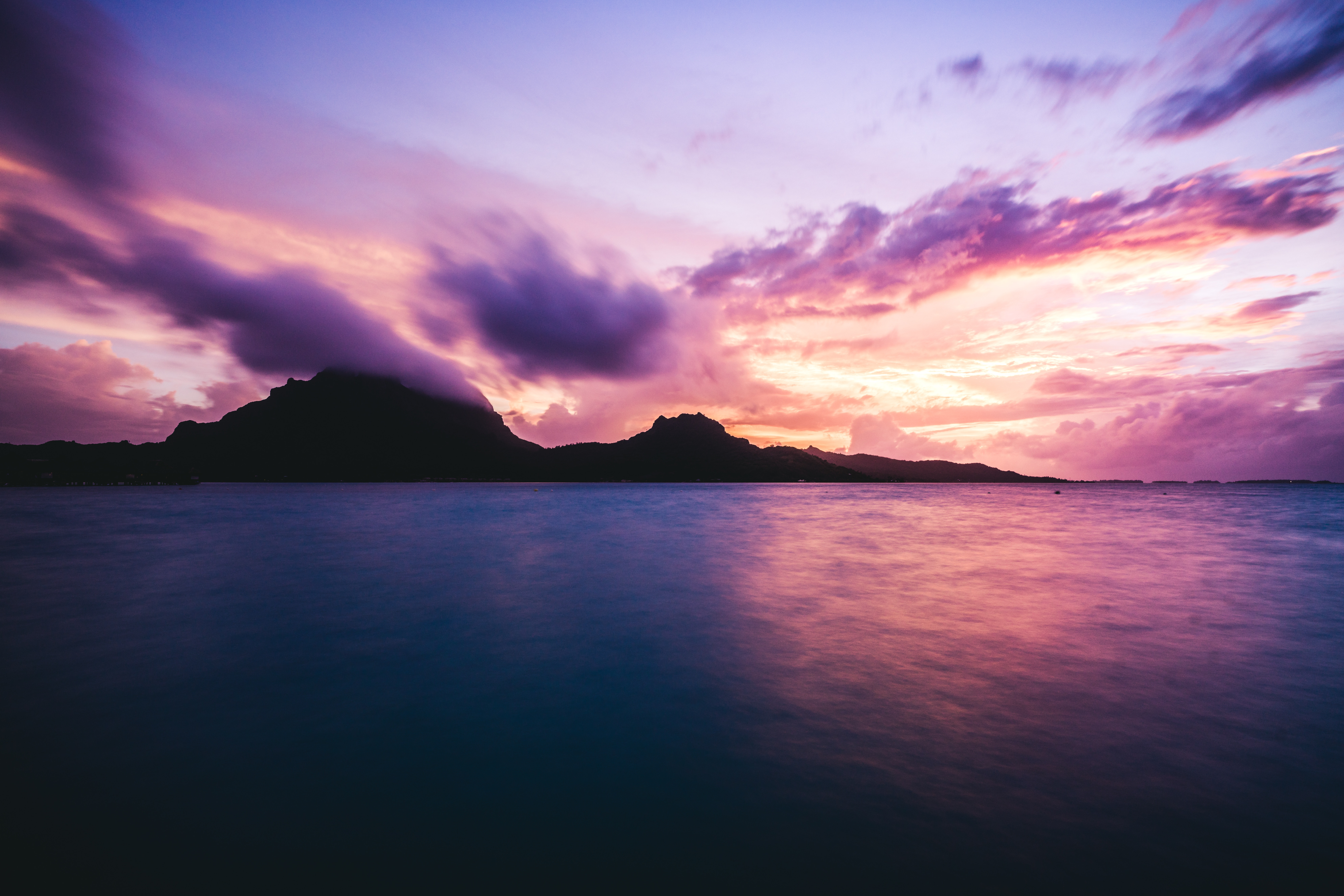
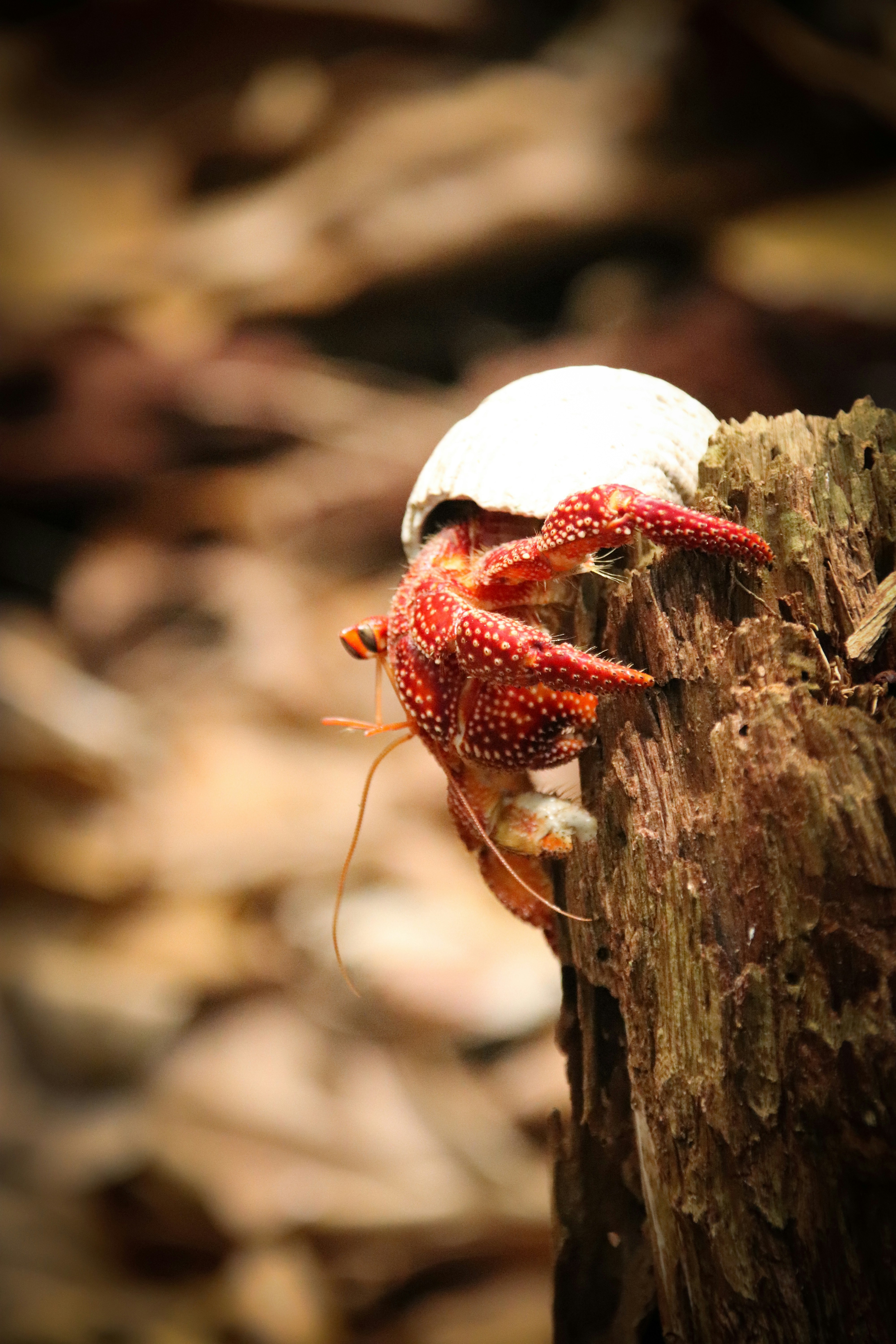
Even high praise like the 'world's most beautiful island' from Lonely Planet's co-founder, Tony Wheeler, won't prepare you for the intoxicating intensity of the coal blue ocean, the glow of the pure white sand, and the soothing ripple of the palm-tree forests at incredible Aitutaki. Breathless romance hangs thick in the air here, especially when a riot of purples, reds and oranges are spreading across the sky, accompanying the sun's descent each evening. It wasn't until 1789 that Europeans discovered this island haven, with the HMS Bounty's crew arriving, just a few weeks before a mutiny tore them apart. The Europeans were beaten to the islands, however, by the streamlined wooden canoes of the Polynesian settlers, who arrived around 900AD. While Western missionaries would eventually visit to spread Christianity to the island - evidenced by the white, coral-encrusted walls of the many churches - their efforts to repress the people’s deep love of communal singing and dancing ultimately failed, and music forms a key component of the islanders' culture to this day.The beaches here are flawless, and swaying in a hammock, suspended between leaning palm trees, as the ocean gently ruffles the sand nearby, feels gloriously indulgent. Aitutaki Lagoon is a huge aquamarine pool of water, alive with a kaleidoscopic swirl of tropical fish, which lurk just below the surface. You may even be lucky enough to spot turtles padding across the sand, scraping themselves towards the open ocean.The snorkelling opportunities here, and on One Foot Island - where you'll want to acquire the badge of honour of having your passport stamped with the island's iconic huge footprint - are sublime. Don't miss the tiny island of Moturakau either, which is crammed full of exotic birds and crabs, who have dominion over the island's tangled, jungle terrain.
About Niue Island
About Vava'u
Nuku is a small tropical island to the west of the larger Kapa Island in the Tongan group. The vivid green vegetation of the low lying island is fringed by white sand beaches that were likely formed by centuries of bright white coral skeletons being eroded into sand grains by waves and time. Living coral reefs surround the tear-drop shaped island of Nuku with a kaleidoscope of color and diverse marine life.
About Suva
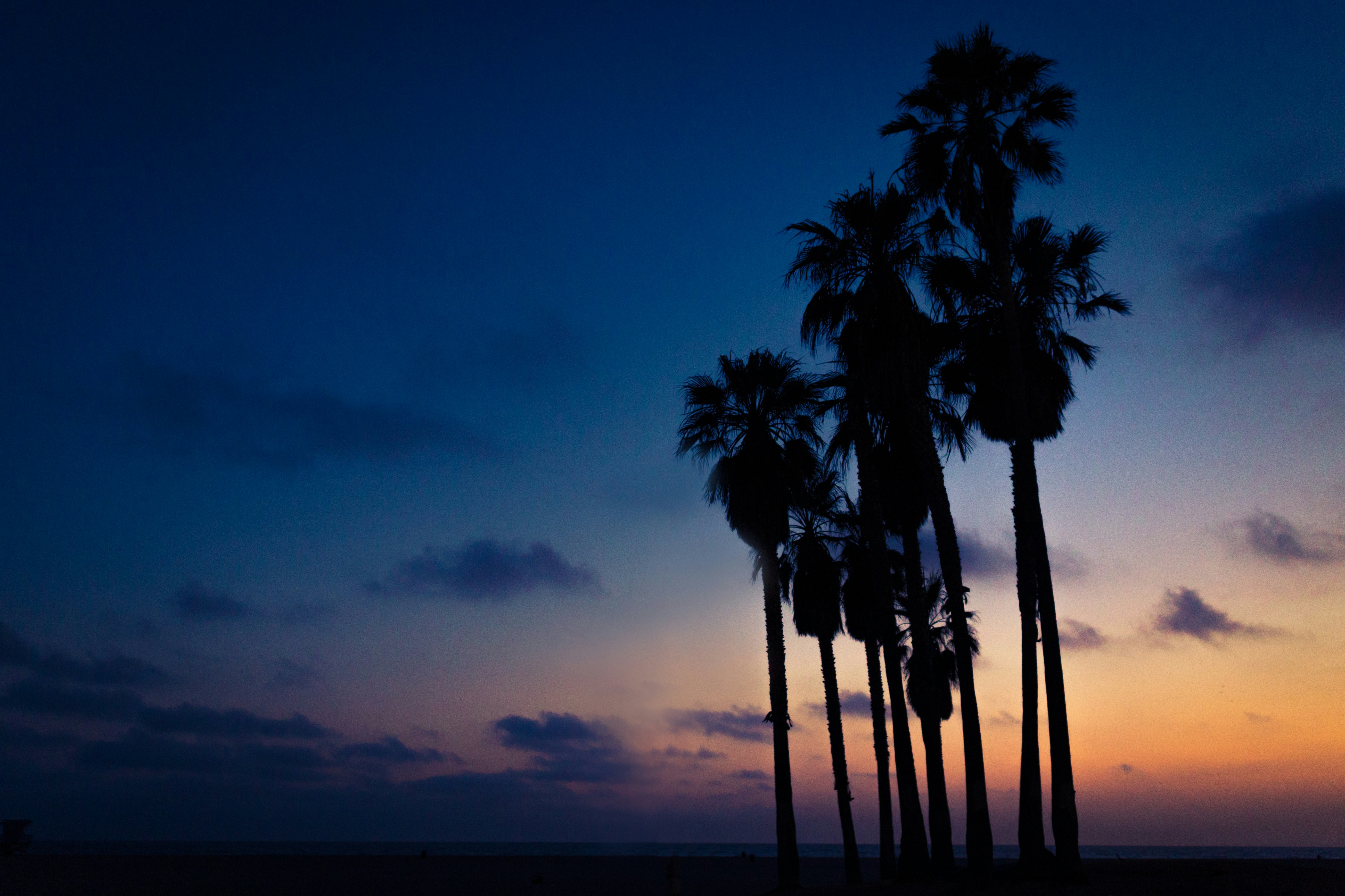
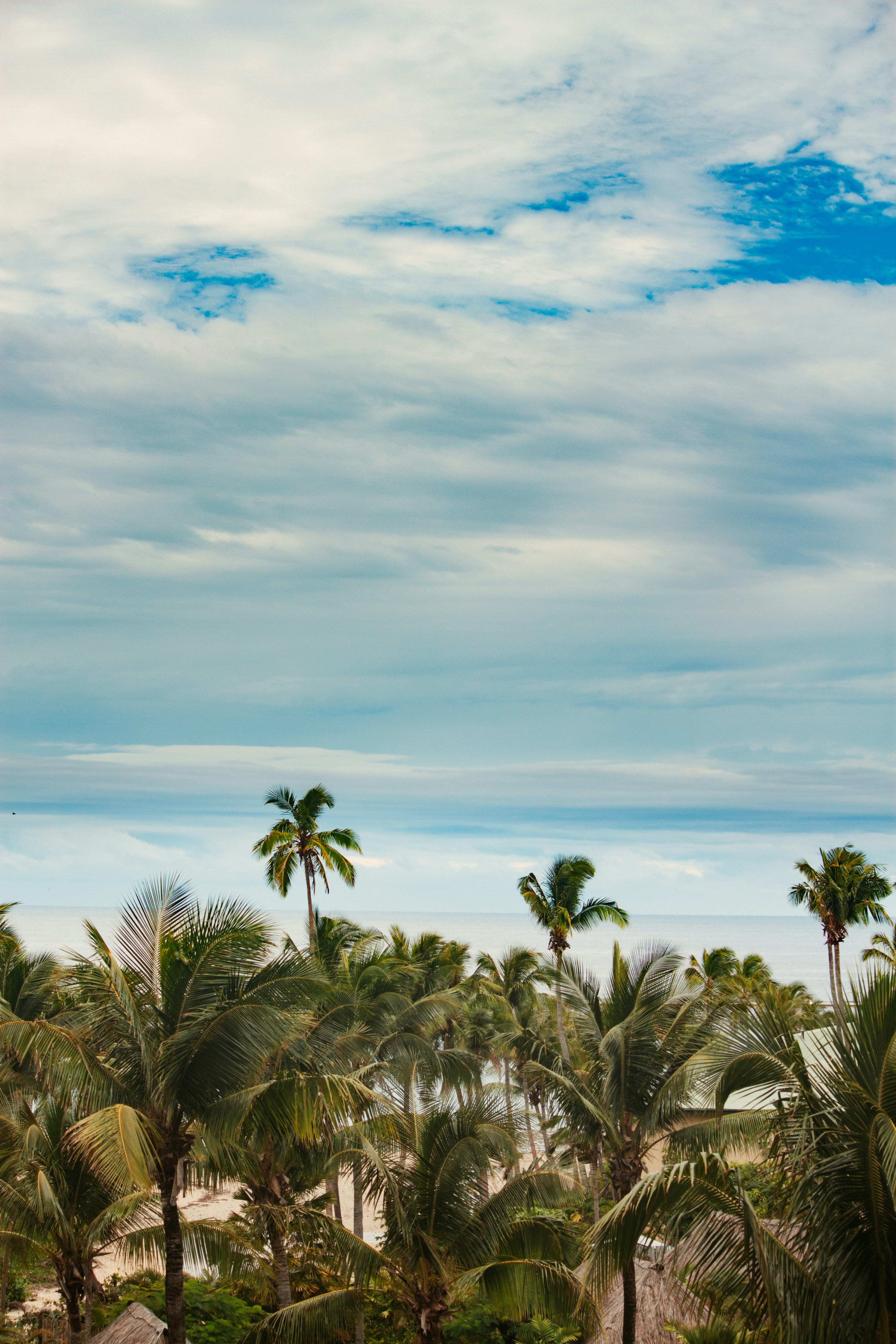
Fiji is a collection of tropical islands in the South Pacific and is well known for soft coral diving, white sandy beaches, and idyllic and peaceful surroundings. Because of its paradisiac surroundings, Fiji is a popular location for weddings and honeymoons. Suva is the capital of the Fiji archipelago, located on the southeastern coast of the island of Viti Levu and is the second most populated city of Fiji.
About Port Vila
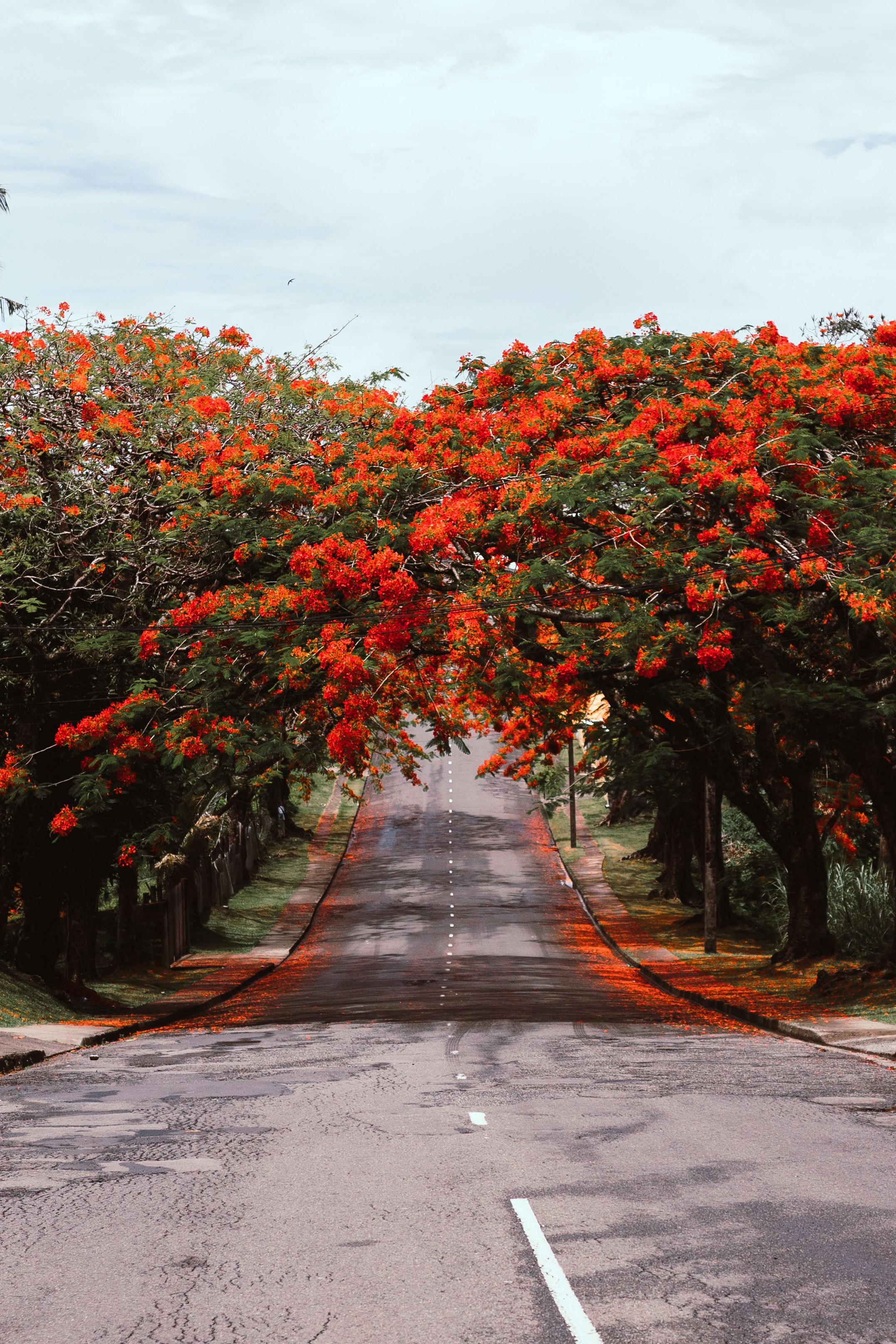
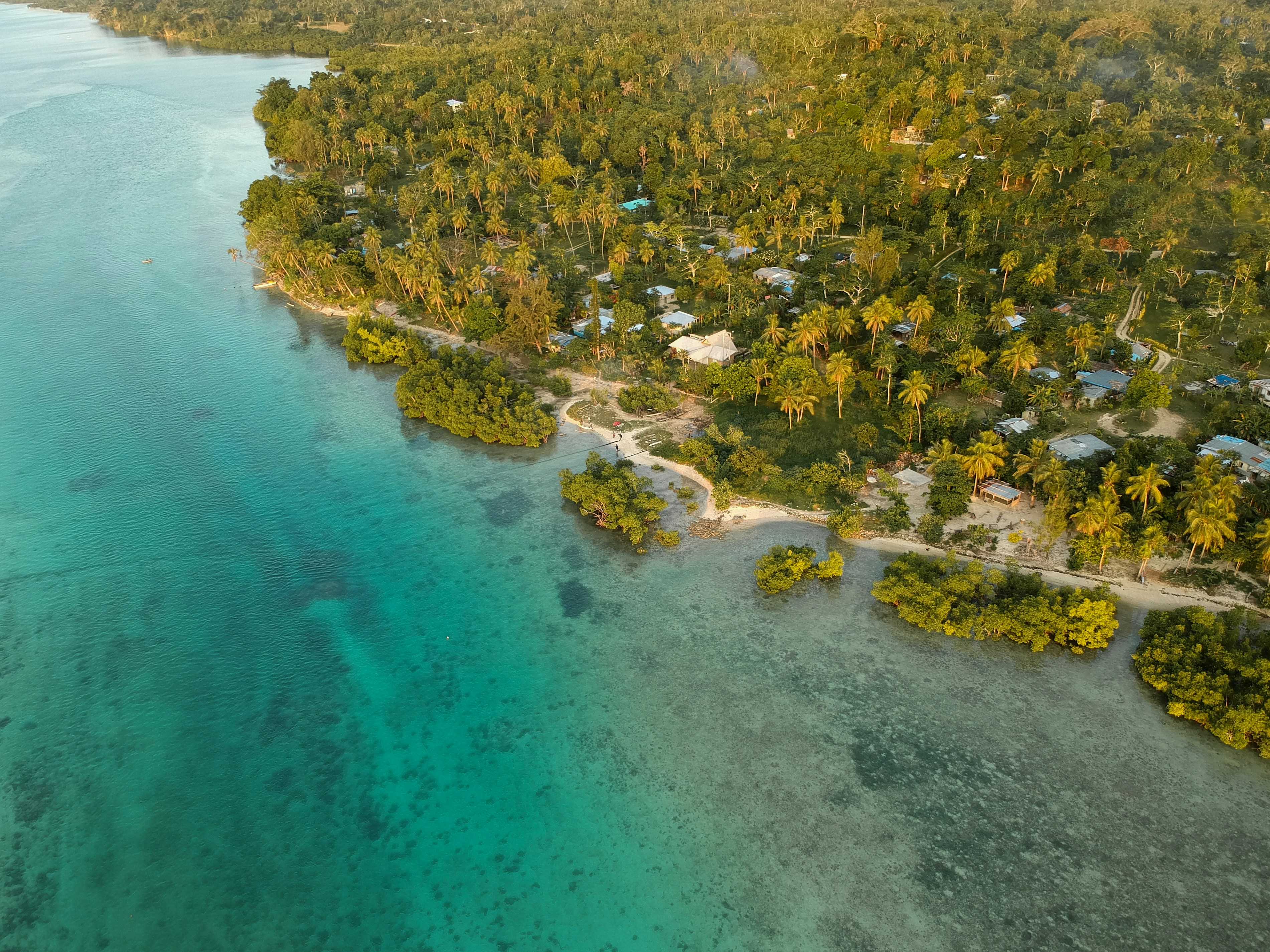
Vanuatu is an island nation located in the southern Pacific Ocean. The archipelago, which is of volcanic origin, is approximately 1,090 miles (about 1,750 kilometres) east of northern Australia, approximately 310 miles (about 500 kilometres) northeast of New Caledonia, west of Fiji and southeast of the Solomon Islands, near New Guinea. Located on Mélé Bay along the southwest coast of Éfaté, Port Vila is the capital and largest city of Vanuatu, as well as its commercial and economic centre. Although Port Vila's British and French influences are apparent, its multinational population includes ni-Vanuatu, British, French, Chinese, and Vietnamese citizens. An active commercial port, the city is home to hospitals, hotels, casinos, markets and shopping districts, a sports stadium, cultural centre, teacher-training institution, campus of the University of the South Pacific, and several meat- and fish-processing plants. The municipality of Port Vila is divided into four wards, Malapoa-Tagabe, Anabrou-Melcofe-Tassiriki, Centre and South. The area occupied by Port Vila has been inhabited by Melanesian people for thousands of years. In 2004, an archaeological expedition unearthed a burial site with 25 tombs, skeletons and pieces of ceramic pottery dating from 1300 B.C. The Vanuatu Islands first had contact with Europeans in 1606 with the arrival of Portuguese explorer Pedro Fernandes de Queirós. Europeans did not return until 1768, when Louis Antoine de Bougainville rediscovered the islands. In 1774, Captain Cook called the islands the 'New Hebrides', a name that would last until their independence in 1980. In 1825, sandalwood was discovered on the island of Erromango, prompting a rush of immigrants that included Catholic and Protestant missionaries from European and North America, as well as settlers looking for land to farm cotton, coffee, cocoa, bananas, and coconuts. British subjects from Australia made up the majority of settlers, but the establishment of the Caledonian Company of the New Hebrides in 1882 attracted more French subjects. The land around Port Vila was converted into the municipality of Franceville in 1889. By the start of the 20th century, the French outnumbered the British, and the two nations agreed to govern the islands jointly by way of the British-French Condominium. During World War II, Port Vila was an American and Australian airbase. The New Hebrides National Party was established in the early-1970s. Renamed Vanua'aku Pati in 1974, the party pushed for independence. In 1980, amidst the brief Coconut War, the Republic of Vanuatu was created. The economies of Port Vila and Vanuatu are supported by the agriculture, offshore financial services and cattle industries. However, the abundant tropical beauty of Vanuatu has made Port Vila a popular tourist destination for outdoor and nature enthusiasts alike. Renowned for its tropical climate and exquisite, white-sand beaches and world-class fishing, the archipelago is a region of spectacular geographic diversity that includes spectacular volcanoes, mountains and valleys, along with idyllic jungles, rainforests, botanical gardens, mineral springs, and waterfalls. What's more, Port Vila offers easy access to exploring the city, Vanuatu and the offshore islands that comprise this wonderful South Pacific island chain. Port Vila consists of a diverse blend of Melanesian, Eastern and Western cultures that presents a unique opportunity to discover the people, traditions and history of Vanuatu. Cultural village tours are a fantastic way to meet the locals and experience indigenous lifestyles and customs through storytelling, music, dance, kava-tasting, and a traditional Melanesian feast. The evolution of Port Vila and Vanuatu can be explored during visits to the Vanuatu Cultural Centre and Museum features a collection of historical artefacts from the Vanuatu Island. Additional historic landmarks include Independence Park, the French and British residencies, Supreme Court, Georges Pompidou Building, World War I and II memorials, Tanna Coffee-Roasting Factory, and more. Vanuatu's verdant canyons, jungle-covered mountain peaks, volcanoes, waterfalls, botanical gardens, mineral springs, white-sand beaches, and rainforests invite a wide array of picturesque, memorable and exciting sightseeing venues for outdoor enthusiasts. Land-based excursions include bird-watching, bicycling and motor-biking, eco-tours, hiking through jungle and rainforest nature trails, horseback-riding at the nearby Sea Horse Ranch or Club Hippique Adventure Park, helicopter or seaplane flight-seeing, dune-bugging the beaches and jungles, 'zorbing' down the hillsides, abseiling down a cascading waterfall, volcano trekking and sandboarding, zip-lining through the jungle canopy, and golfing at the stunningly beautiful Port Vila Golf and Country Club, the only 18-hole championship course in Vanuatu and home to the PGA-sanctioned Vanuatu Open. Picturesque and fun-filled water-based excursions include swimming, boating and sailing along the exquisite coast of Port Vila and Vanuatu, deep-sea fishing for enormous dolphin, marlin, wahoo, dorado, tuna, swordfish, and sailfish, jet-skiing and high-speed jet-boating, stand-up paddle-boarding, surfing, kite-surfing, and parasailing. The archipelago also offers some of the world's finest snorkelling and diving at venues such as the Hideaway Islands Marine Reserves, JoJo Beach Club, Havannah Beach and Boat Club, and Iririki Island.Due to its compact size, Port Vila can be easily explored in just a single day.
About Cairns, Queensland
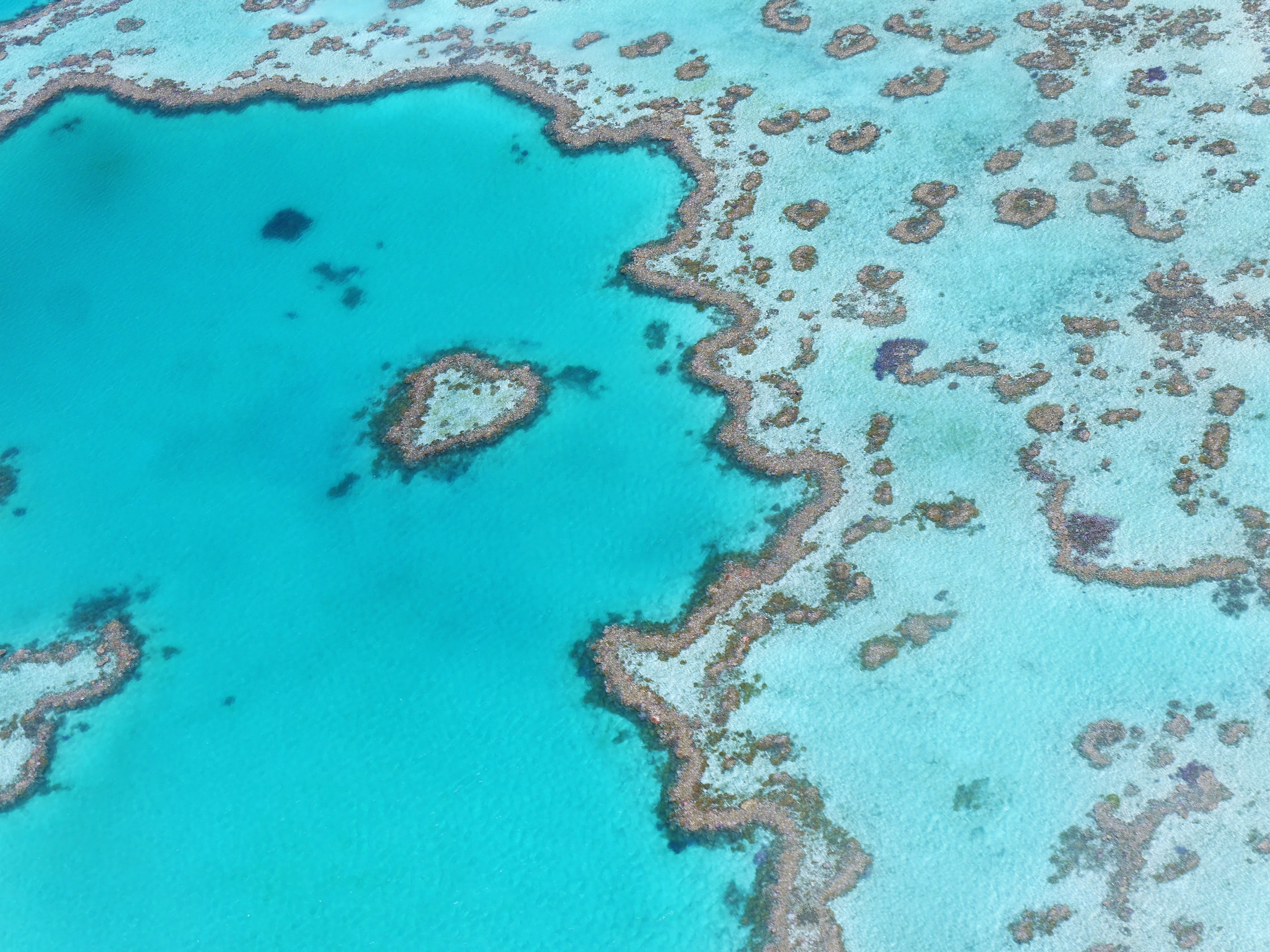
Tourism is the lifeblood of Cairns (pronounced Caans). The city makes a good base for exploring the wild top half of Queensland, and tens of thousands of international travelers use it as a jumping-off point for activities such as scuba diving and snorkeling trips to the Barrier Reef, as well as boating, fishing, parasailing, scenic flights, and rain-forest treks.It's a tough environment, with intense heat and fierce wildlife. Along with wallabies and grey kangaroos in the savannah and tree kangaroos in the rain forest, you'll find stealthy saltwater crocodiles, venomous snakes, and jellyfish so deadly they put the region’s stunning beaches off- limits to swimmers for nearly half the year. Yet despite this formidable setting, Cairns and tropical North Queensland are far from intimidating places. The people are warm and friendly, the sights spectacular, and—at the right time of year—the beachside lounging is world-class.
About Lizard Island National Park, Queensland
About Thursday Island, Queensland
About Merauke, Irian Jaya
About Dili
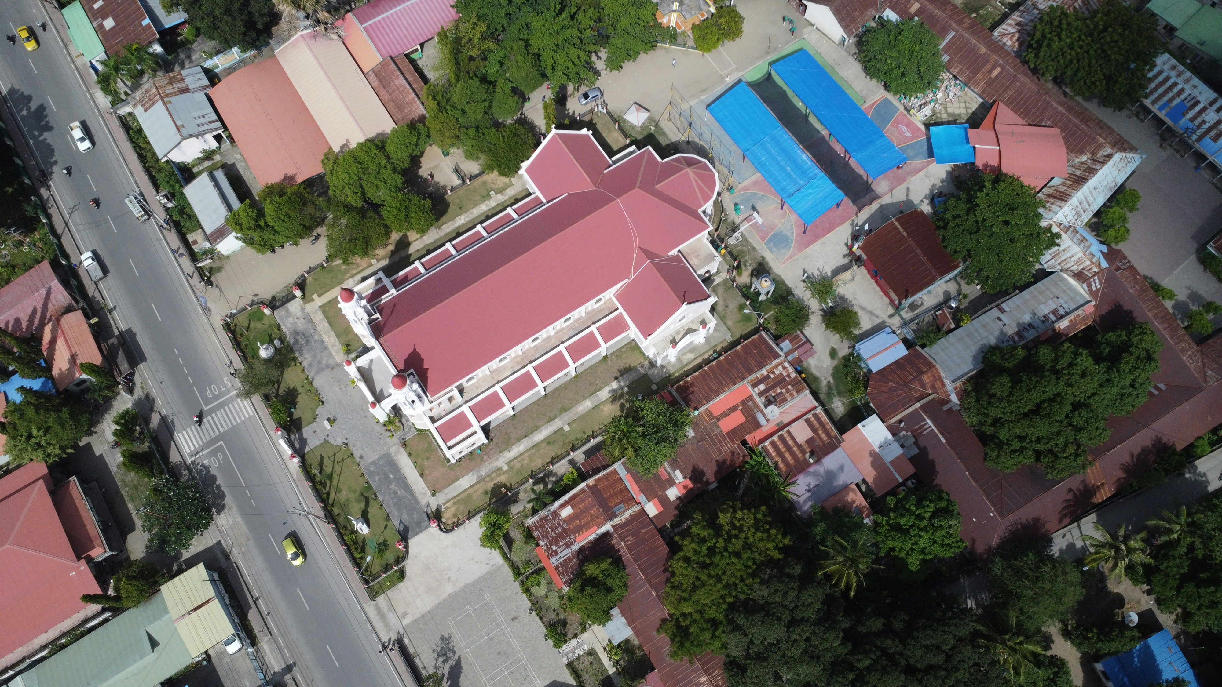
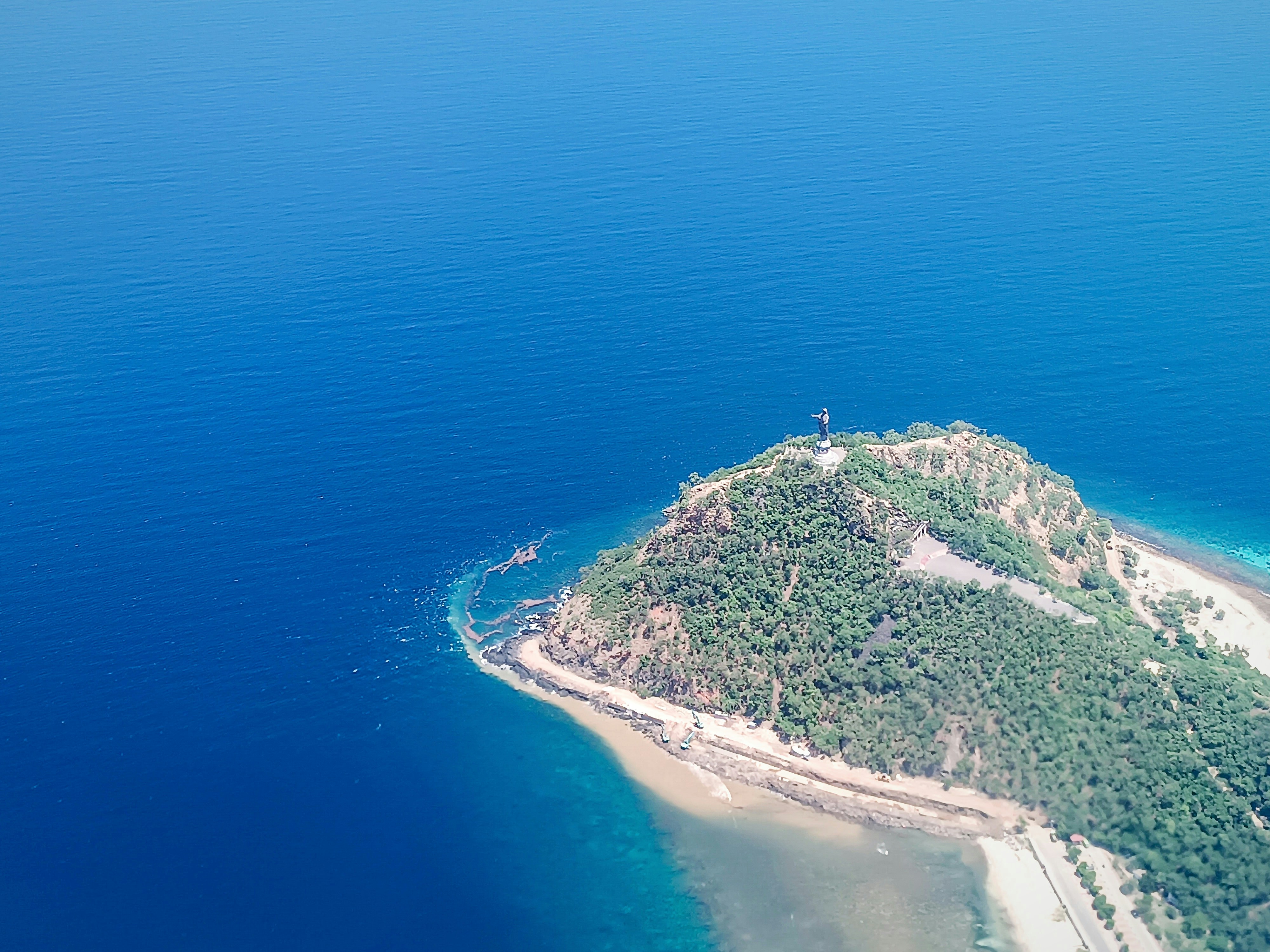

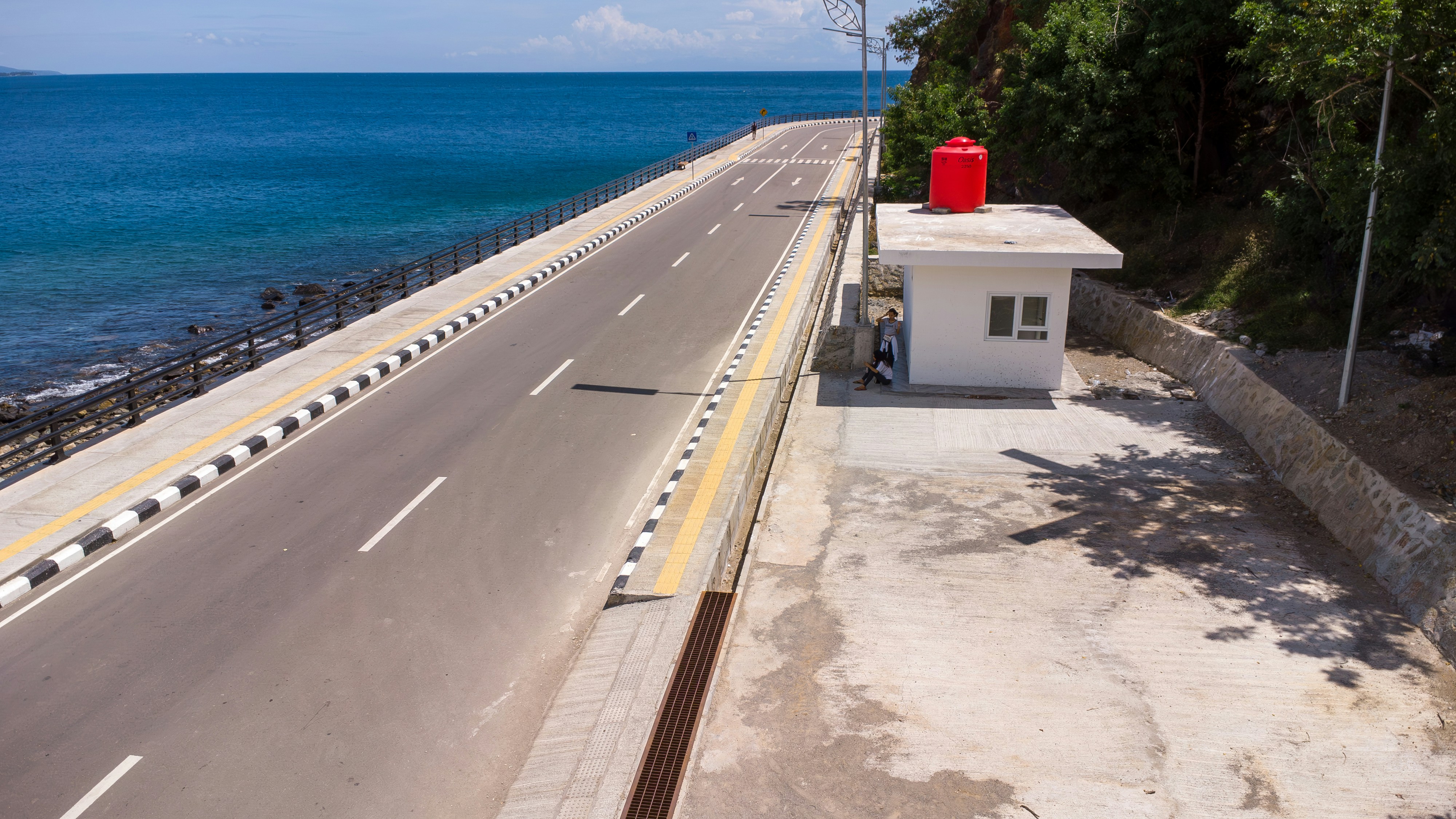
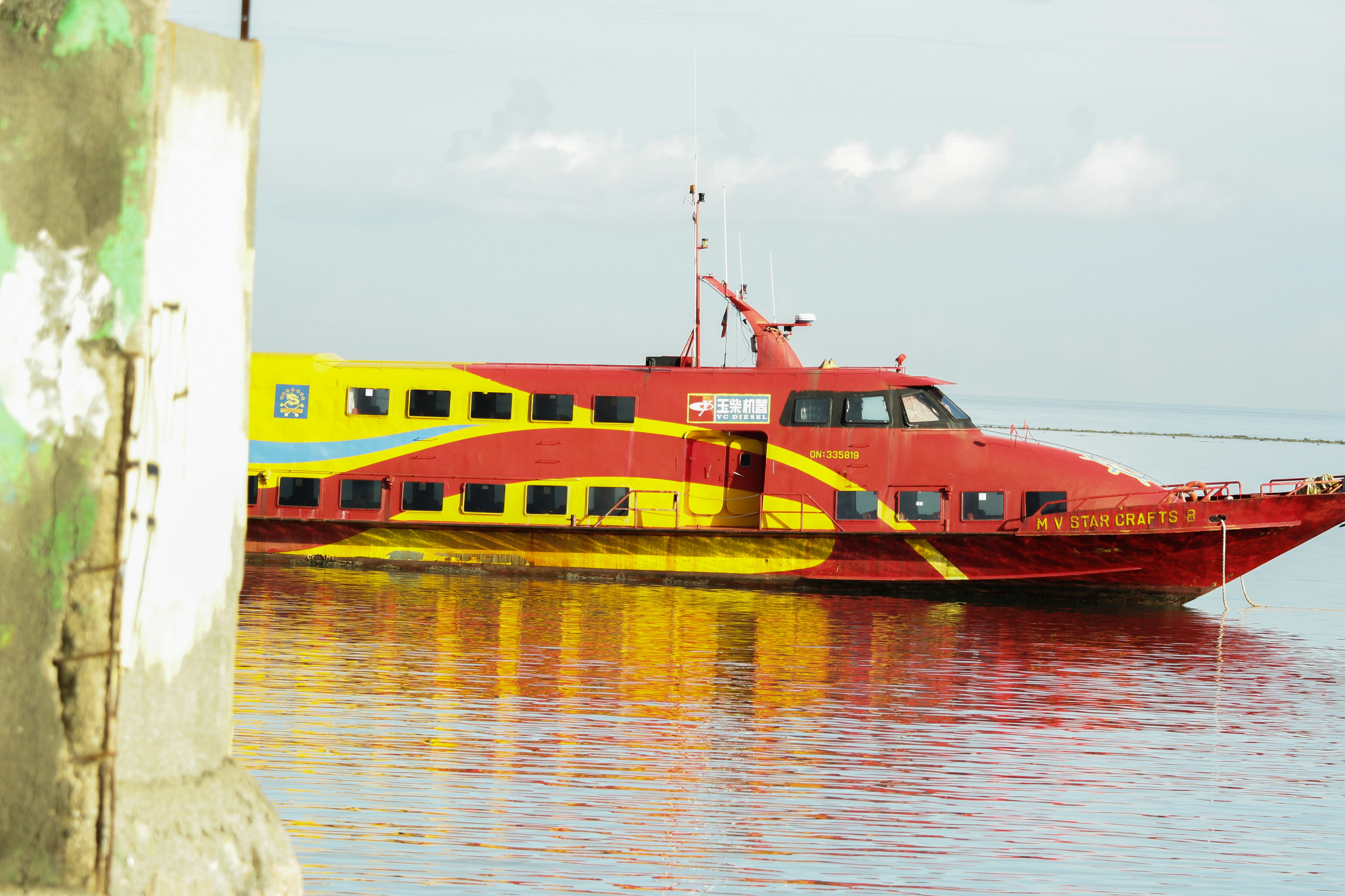
About Labuan Bajo, Flores
About Komodo Island
Pink Beach earned its name for the way the beach can appear to have a rosy hue in certain lights. The color comes from small flecks of red coral mixed in with the fine white reef sand. With a few trees along the beach for shade, this stretch of coast makes a fine place to relax or enjoy a snorkel or dive in the crystal clear waters. It is possible to spot a striped clown fish nestled among the protective tentacles of its sea anemone host, or to see a grouper lazily swimming by a flamboyant soft coral. The reef here is now protected by law and the maturing corals are a joy to behold.
About Pulau Kenawa
About Benoa, Bali
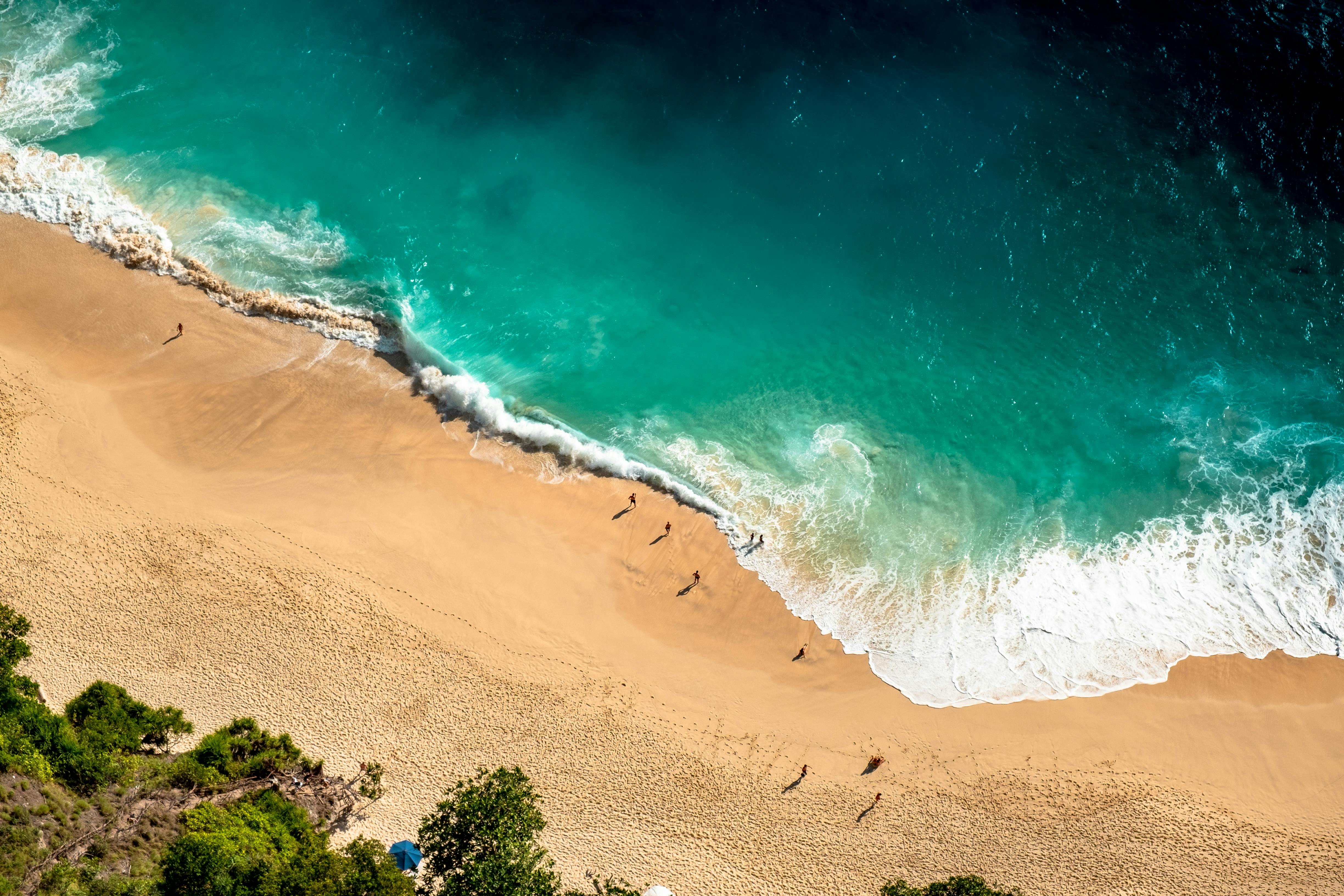
Bali really is as alluring as everyone says. This island, slightly bigger than Delaware, has it all: beaches, volcanoes, terraced rice fields, forests, renowned resorts, surfing, golf, and world-class dive sites. But what sets Bali apart from other nearby tropical destinations is Balinese tradition, and villagers dedicated to celebrating it. The hundreds of temples, dances, rituals, and crafts linked to their ancient Hindu faith aren't a show for tourists, but a living, breathing culture in which visitors are warmly received by the Balinese, who cherish their own identities.
About Semarang
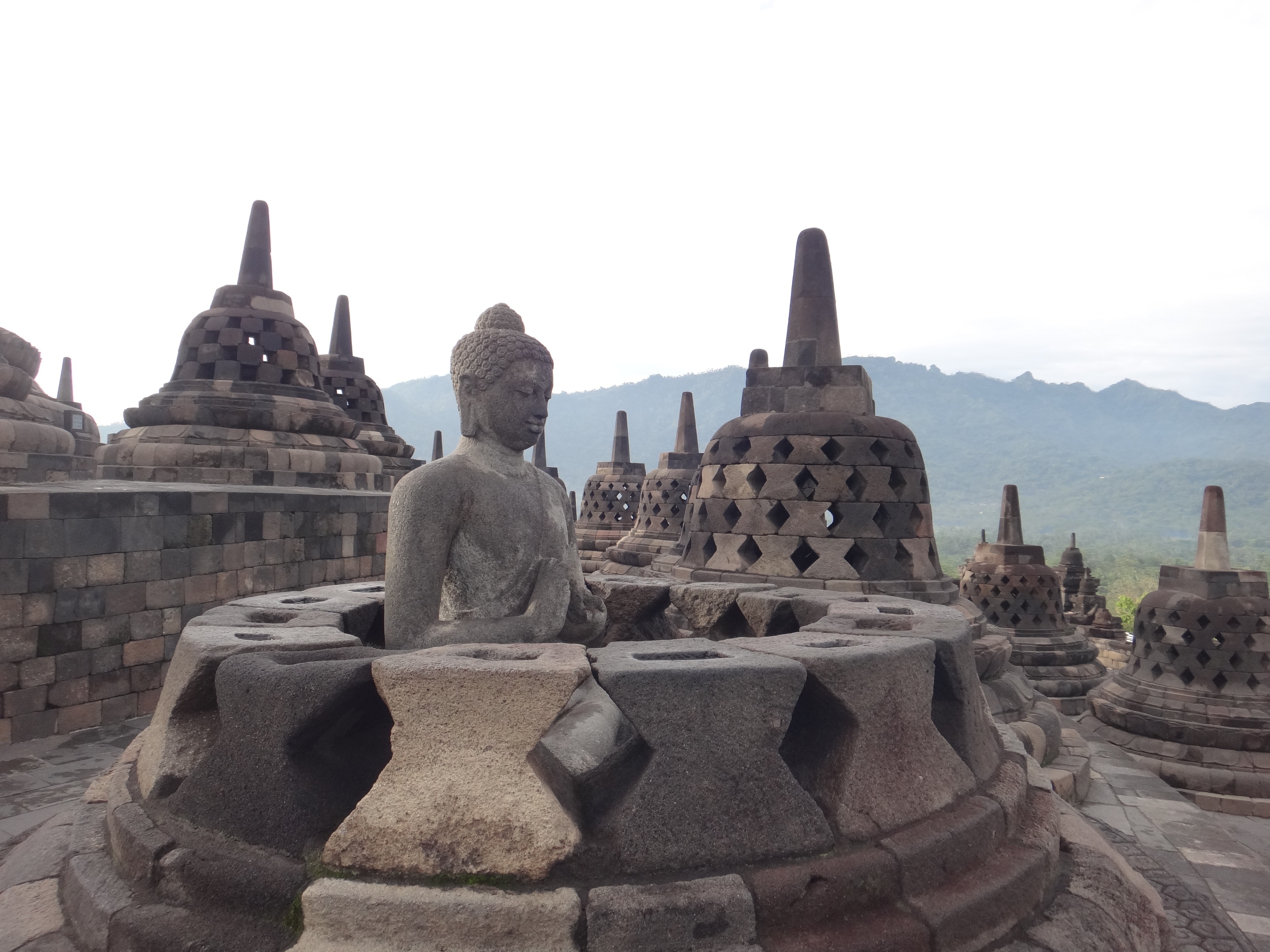
Semarang is one of the oldest cities in Indonesia, situated on Java's north coast between the shore of the Java Sea and a small ridge of mountains. Ceded to the Dutch West India Company in 1677 by King Amangkurat I in payment of his debts, it became their headquarters and the seat of the Dutch governor of the northeast provinces. Semarang's usefulness as a port waned due to the gradual silting up of the harbor; by the 19th century, Surabaya had eclipsed Semarang as Java's premier port. With a population of over one million, a third of whom are thought to be of Chinese extraction, Semarang is the largest city in Central Java and its administrative capital. The city consists of two parts: the coastal lowland where most of the commercial activities are found; and the hilly residential area. Although more a business center than a city for tourists, Semarang serves as a popular gateway to the mountainous interior of Central Java and to fabled Borobudur.
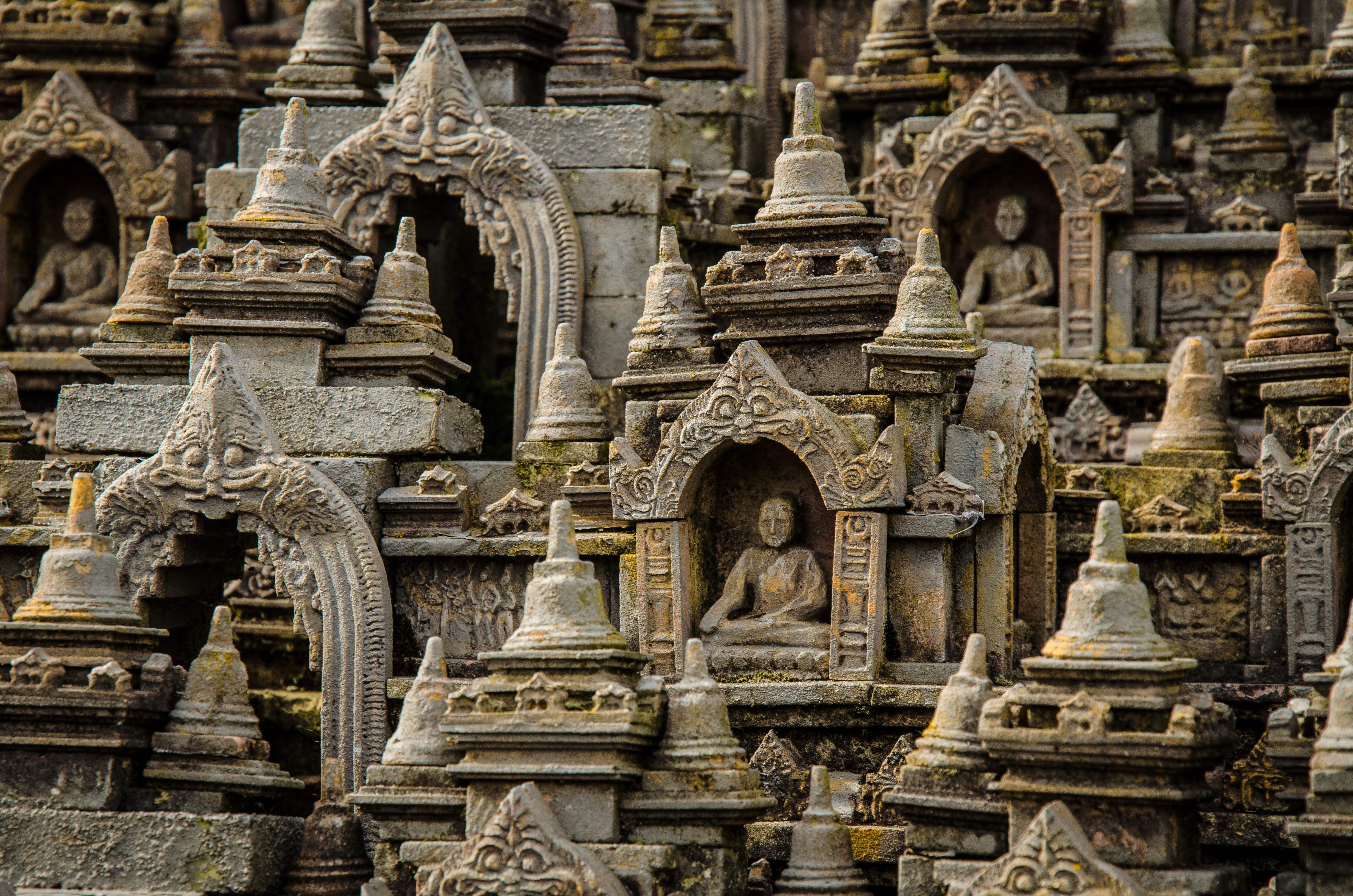
About Thousand Islands
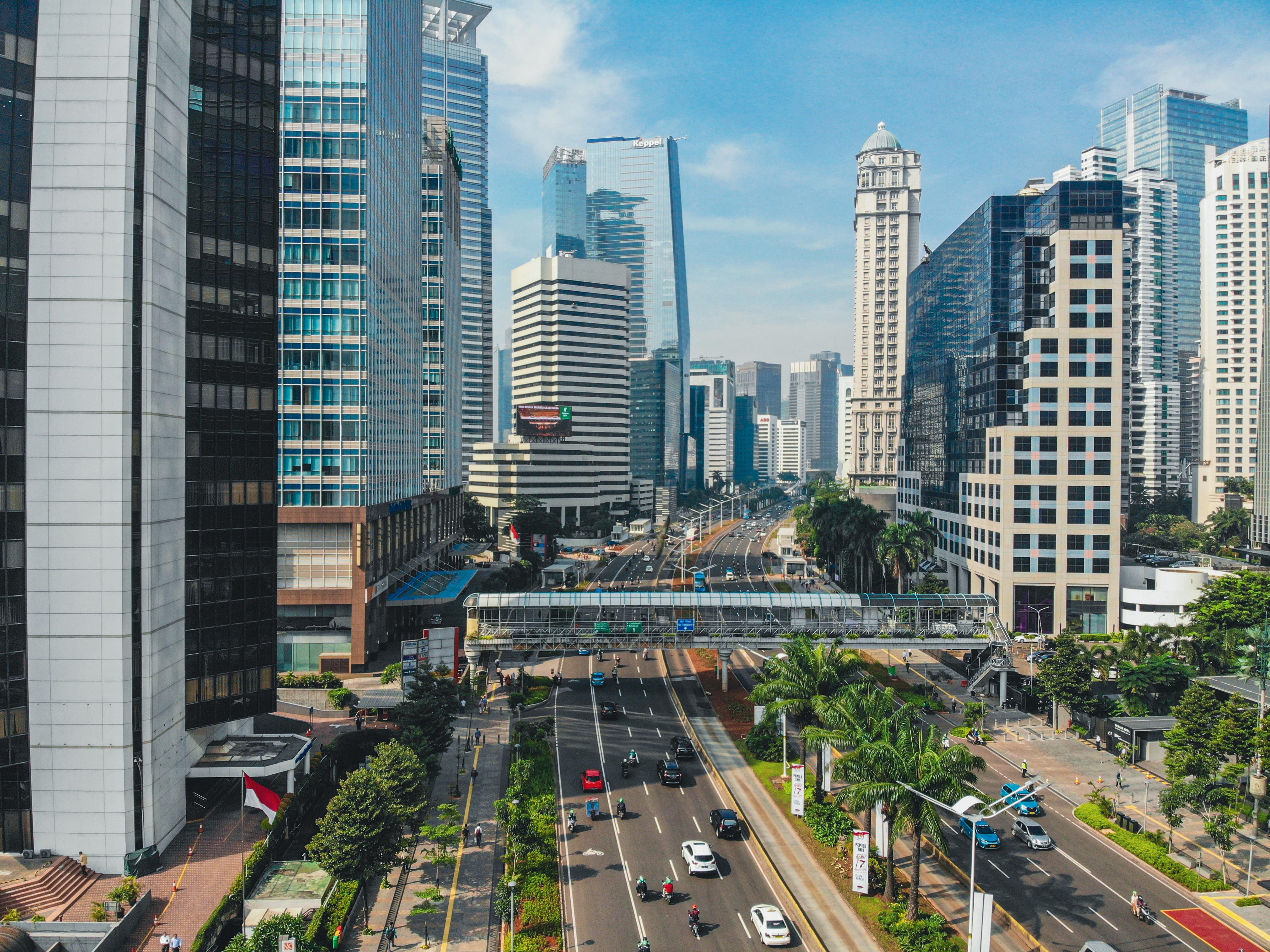
About Jakarta
About Kuching, Sarawak
Surrounded by blossoming nature reserves, where rusty-coloured orangutans swing freely through the trees, and the world's largest flowers sprawl across the ground, Kuching is a city of culture, natural beauty and uninhibited wonder. Explore mighty cracks in the Earth's crust and watch dazzling sunsets igniting the ocean’s waves, as you visit one of the most unique and diverse eco-systems on the planet. Kuching was founded in 1827, when it formed a part of the Empire of Brunei. The Brooke family then took ownership of Sarawak, after the British arrived in the area, and the Bruneian Empire declined. The Second World War saw a Japanese invasion, before the Empire’s surrender returned Kuching to British control. Self-governance was eventually established in 1963, when the State of Malaysia came into existence.
About Bandar Seri Begawan
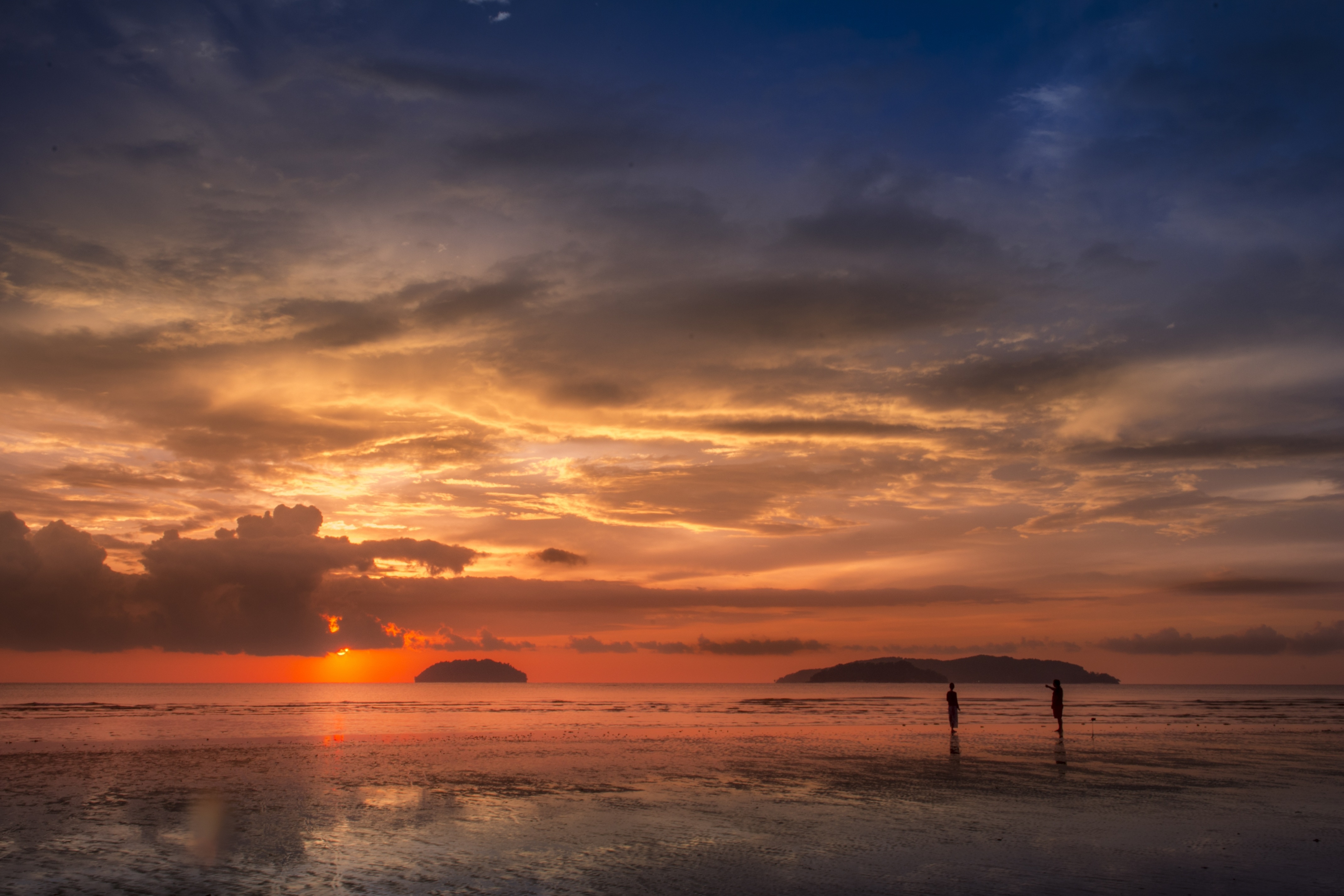
About Kota Kinabalu, Sabah
The capital of Sabah, Borneo's northernmost state, Kota Kinabalu is wedged between a tropical rainforest and the South China Sea. Many explorers use it as a launching point to venture off and see the surrounding jungle and marine life. Mt. Kinabalu challenges climbers daily, and top diving spots reel in underwater adventurers. The city is made up of a dense grid of concrete buildings built over reclaimed land along the coast. Several waterfront seafood restaurants and a diverse mix of hotels appeal to the travelers passing through, mostly off to explore the region.
About Puerto Princesa, Palawan
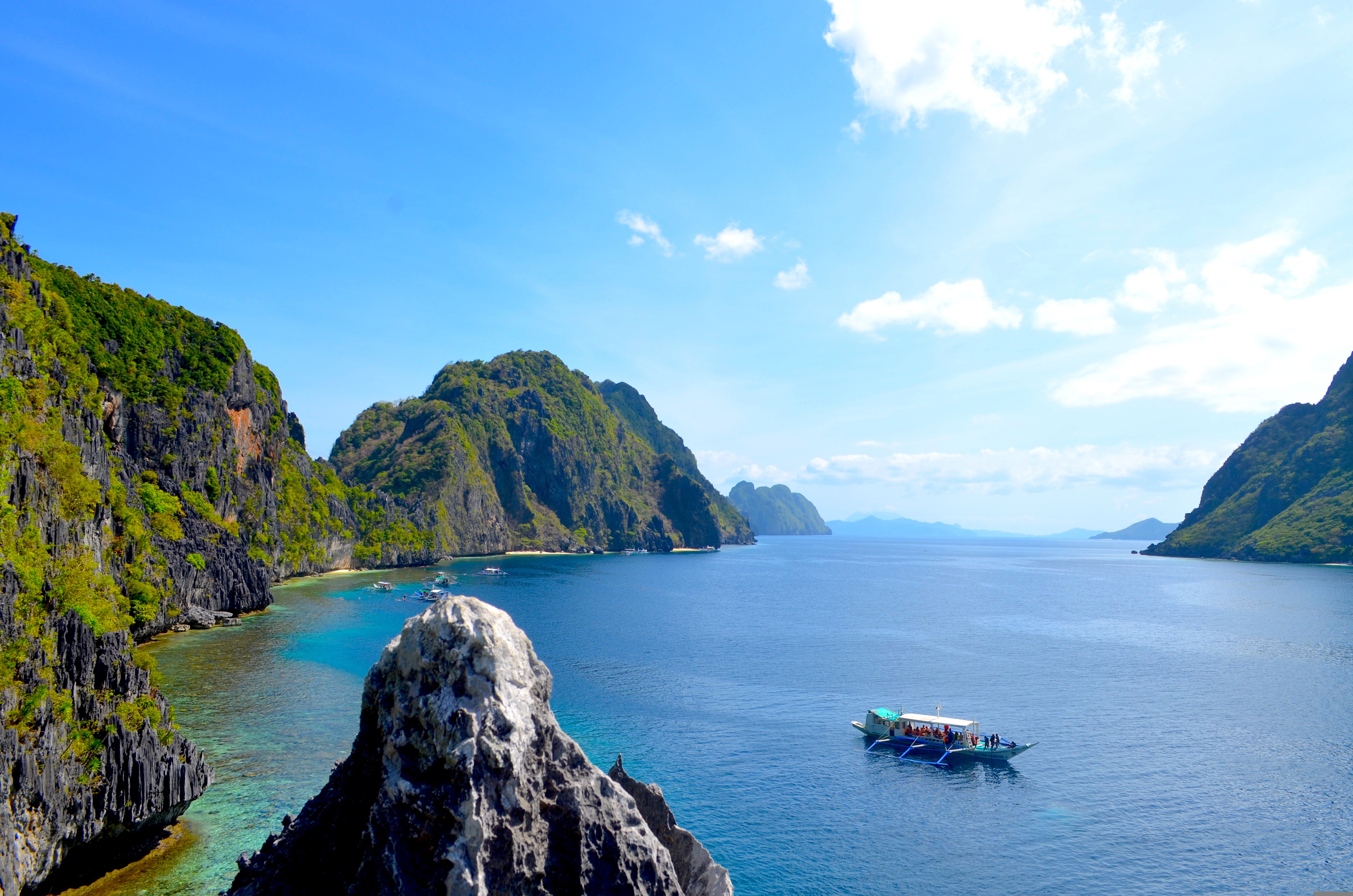
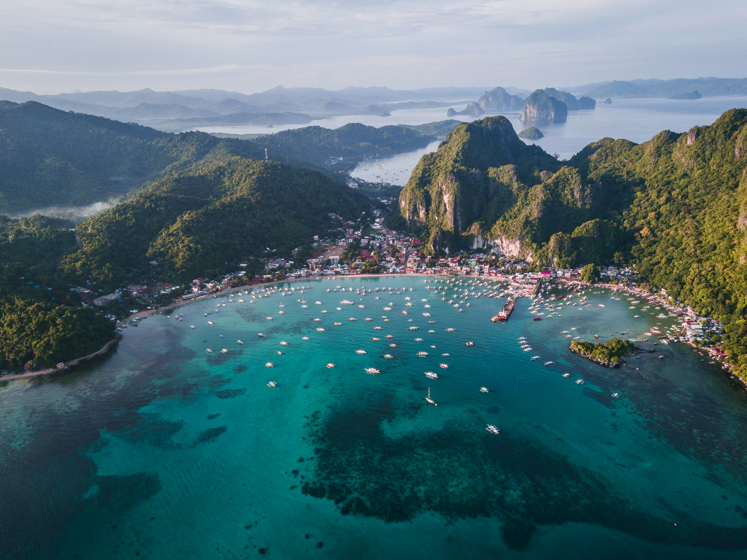
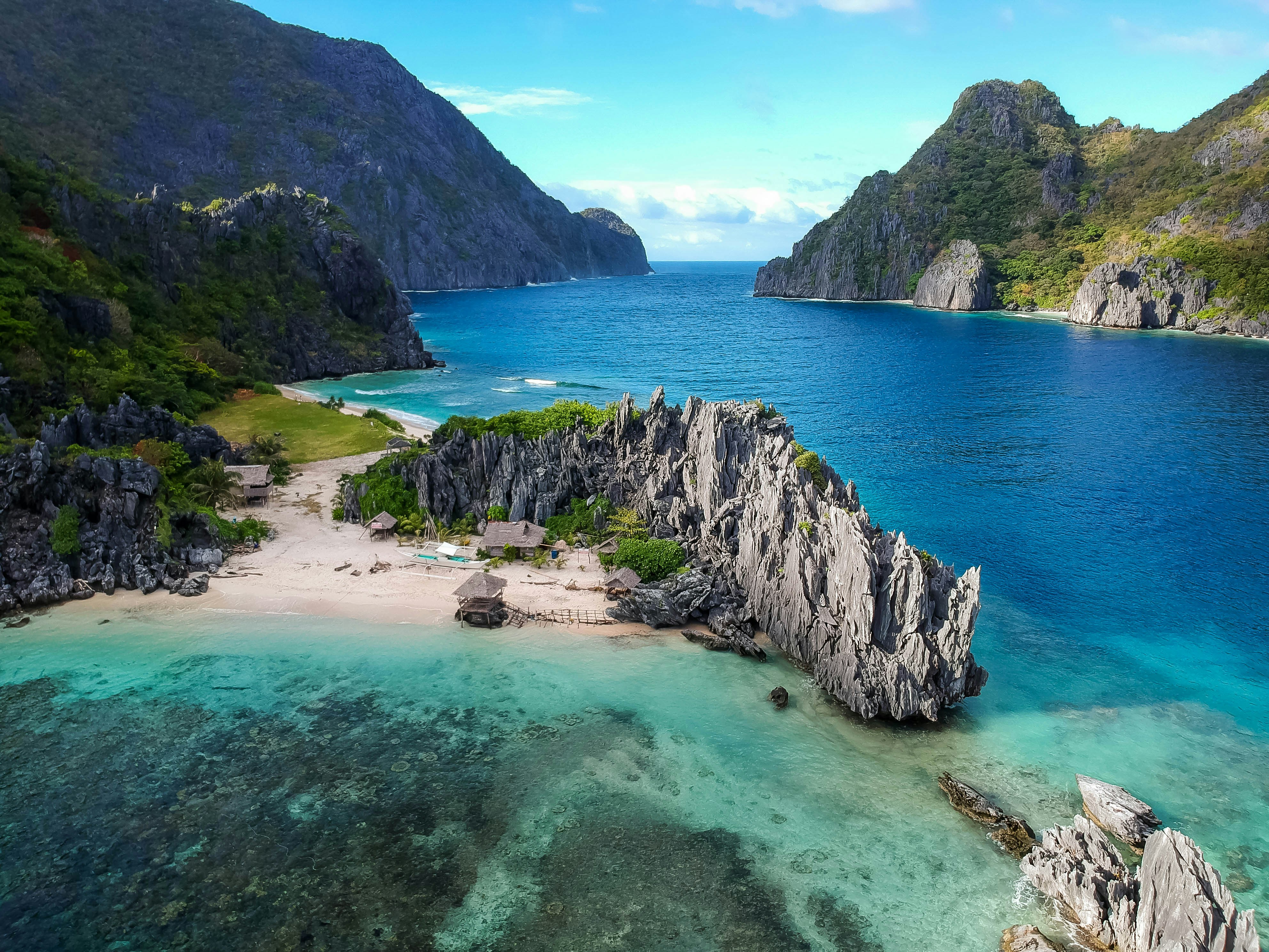
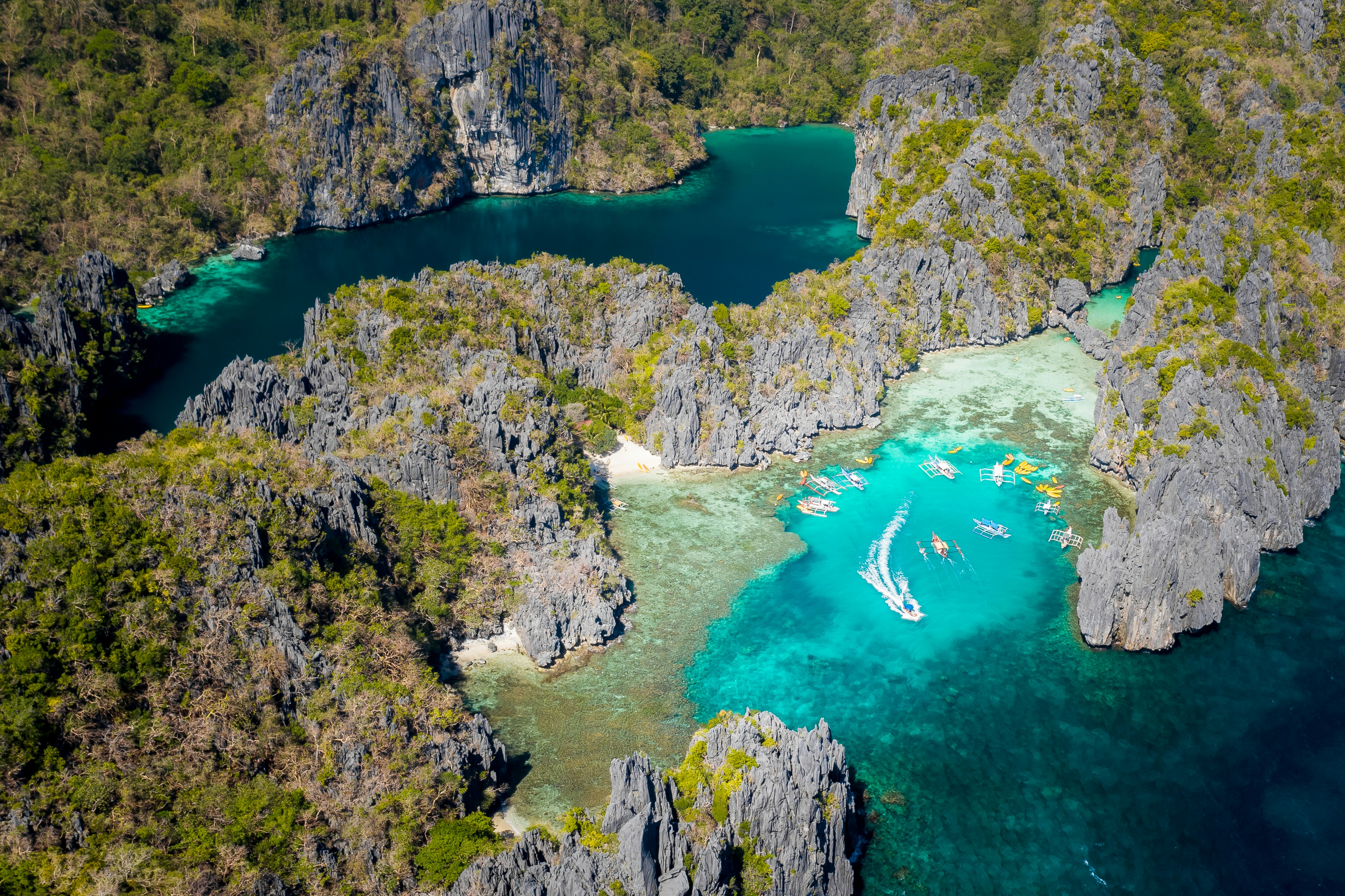
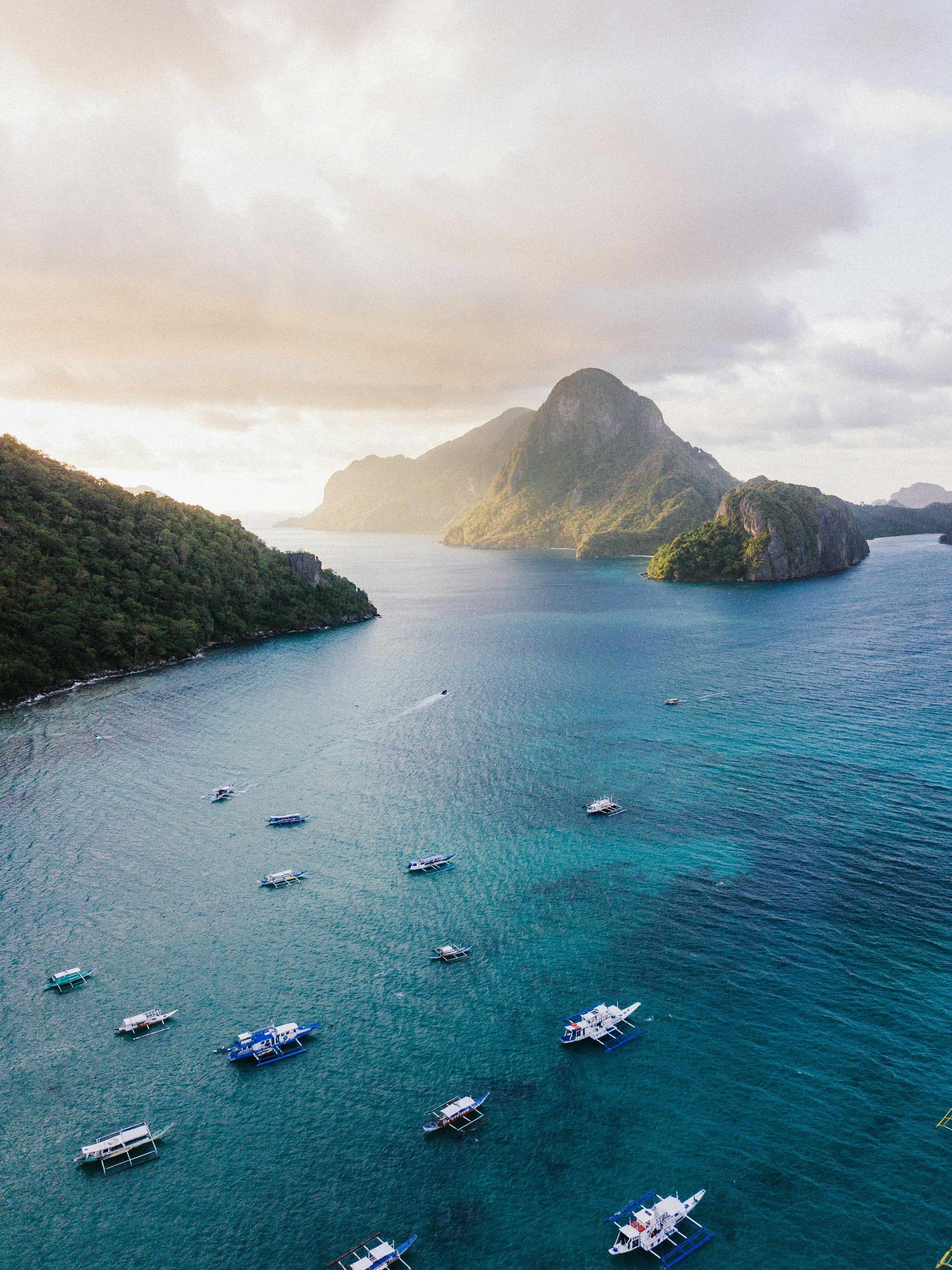
The Spanish arrived at this beautiful corner of the world in March of 1872, founding the city, that would eventually become the Capital of Palawan. In 2011, the area received a huge boost, when New7 announced its list of the 7 Wonders of Nature – counting 500 million votes in the process. Puerto Princesa’s stunning underground river - complete with a cavernous, sunken lagoon - beat off wonderful sites like the Great Barrier Reef, to claim a spot on the final, prestigious list. Set sail across the glowing green water, on a journey into the gaping mouth of the limestone caves at Puerto Princesa. Known for being one of the least densely populated, cleanest and most environmentally friendly cities in the Philippines, there’s a raft of natural wonders to explore - from diving hotspots to towering limestone cliffs, and the entrancing underworld of the underground river.
About El Nido/Puerto Princesa
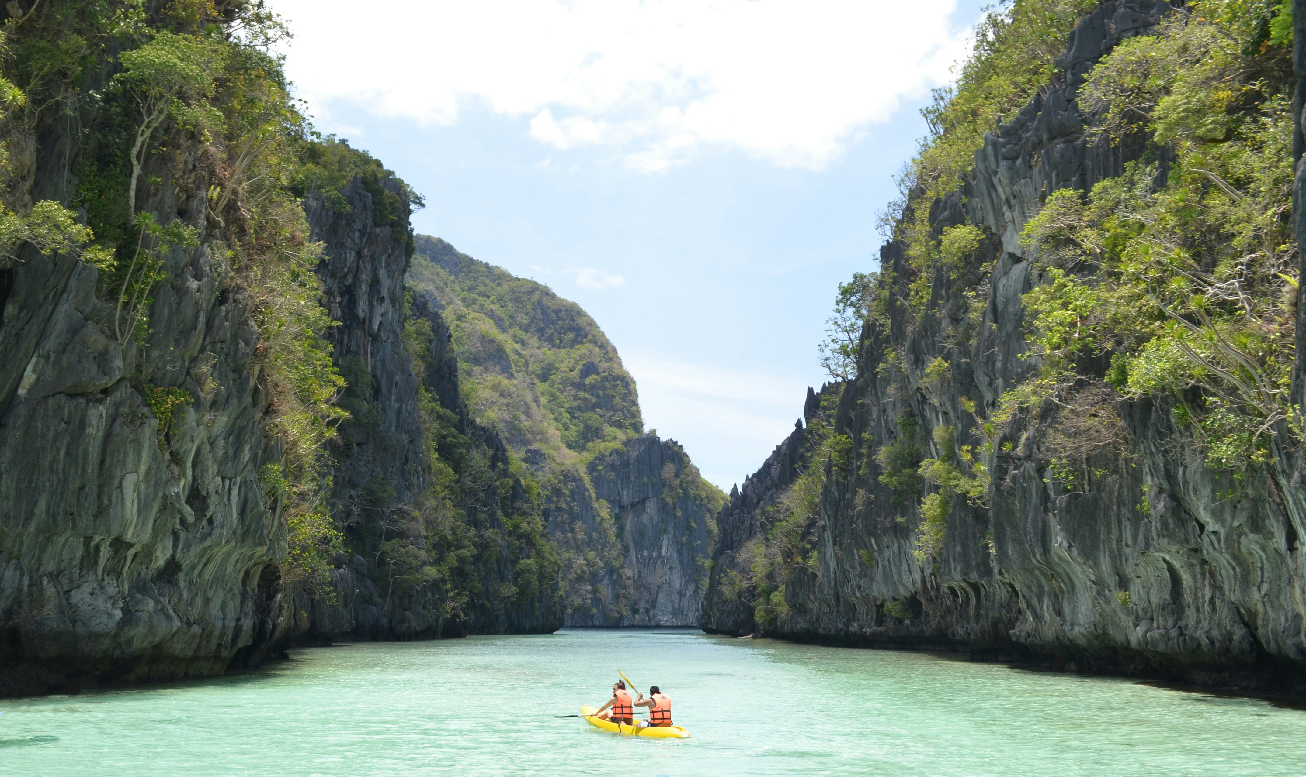
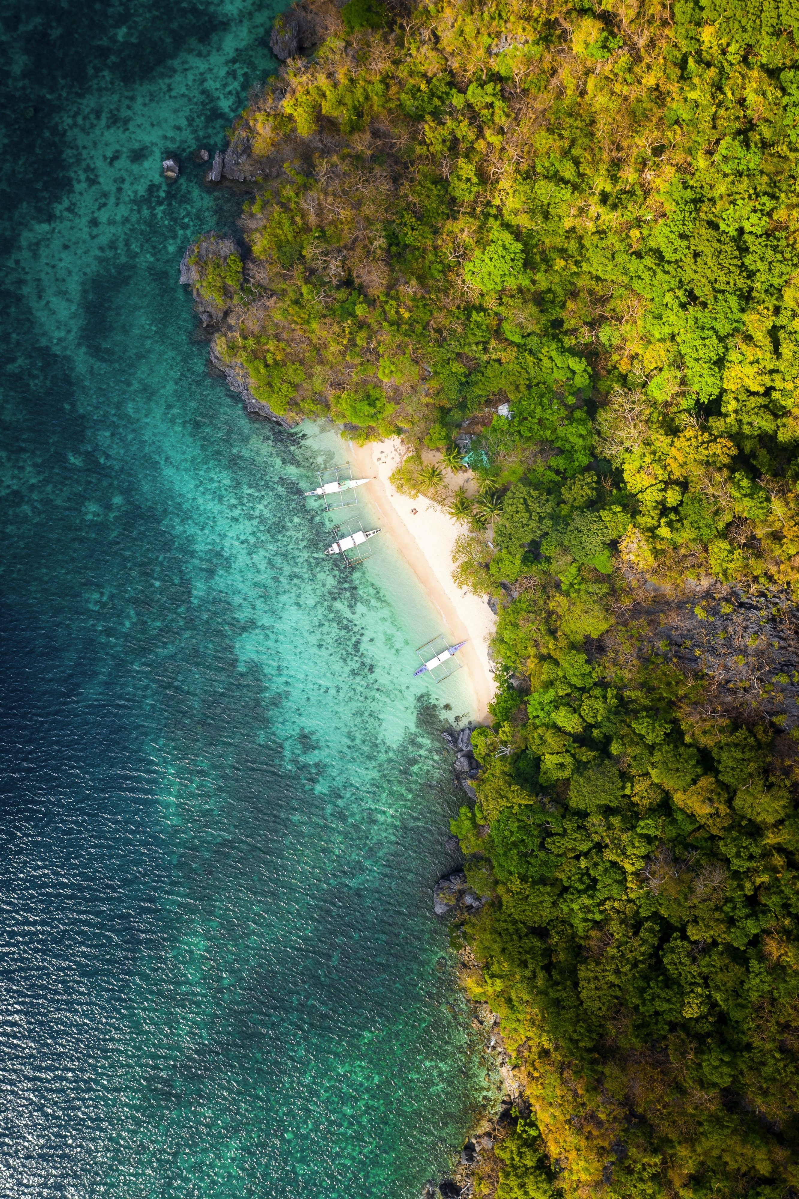
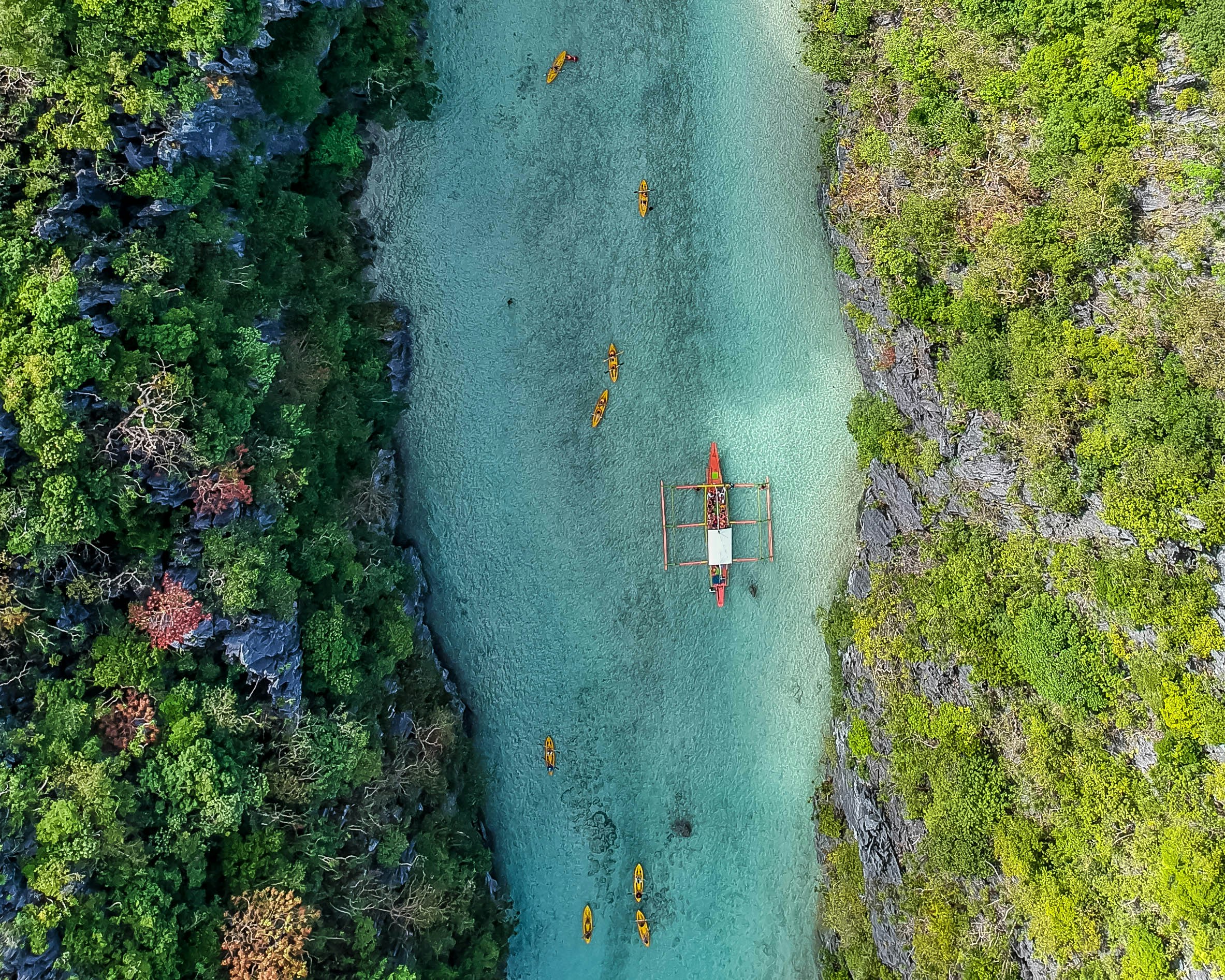
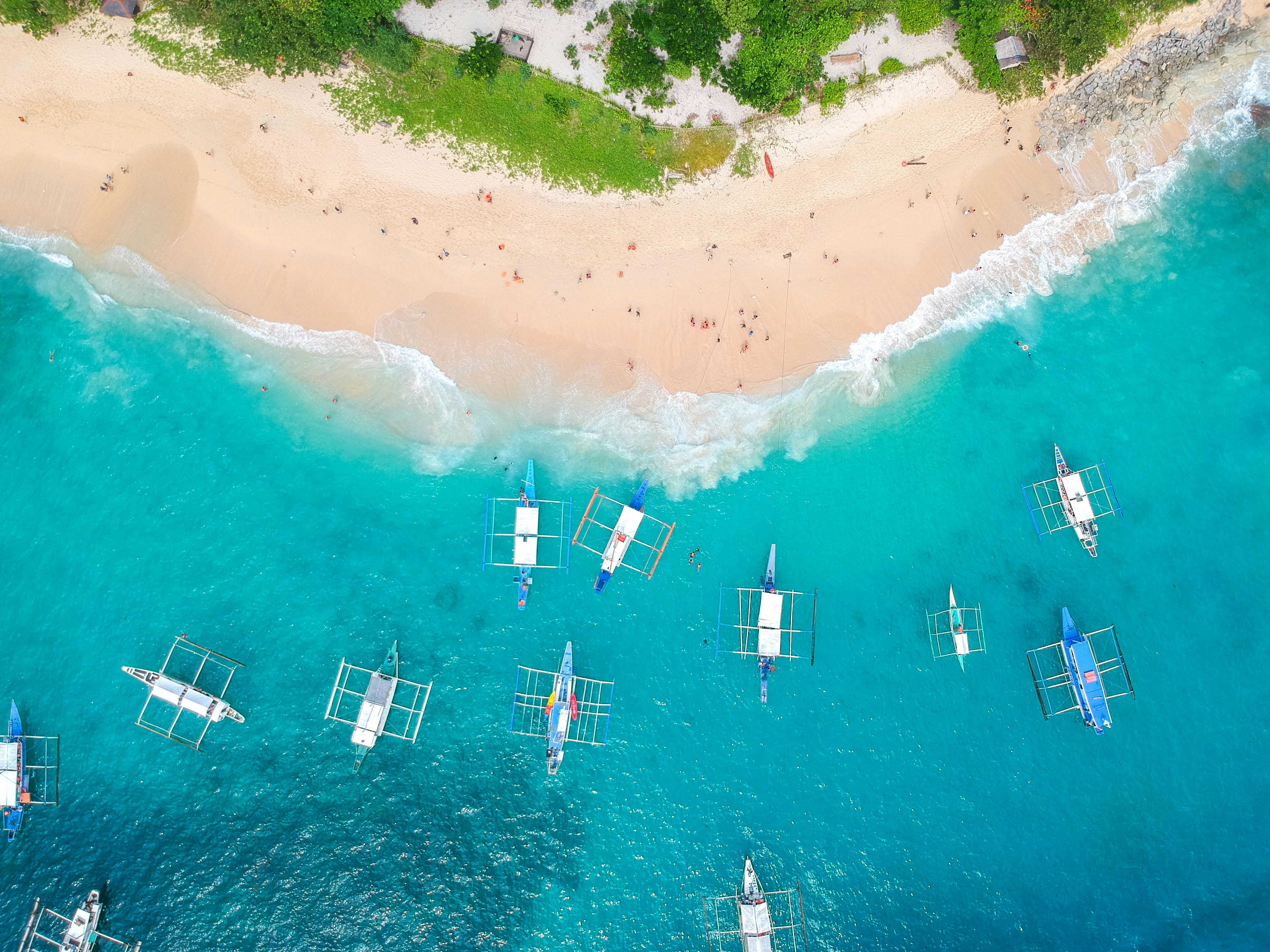
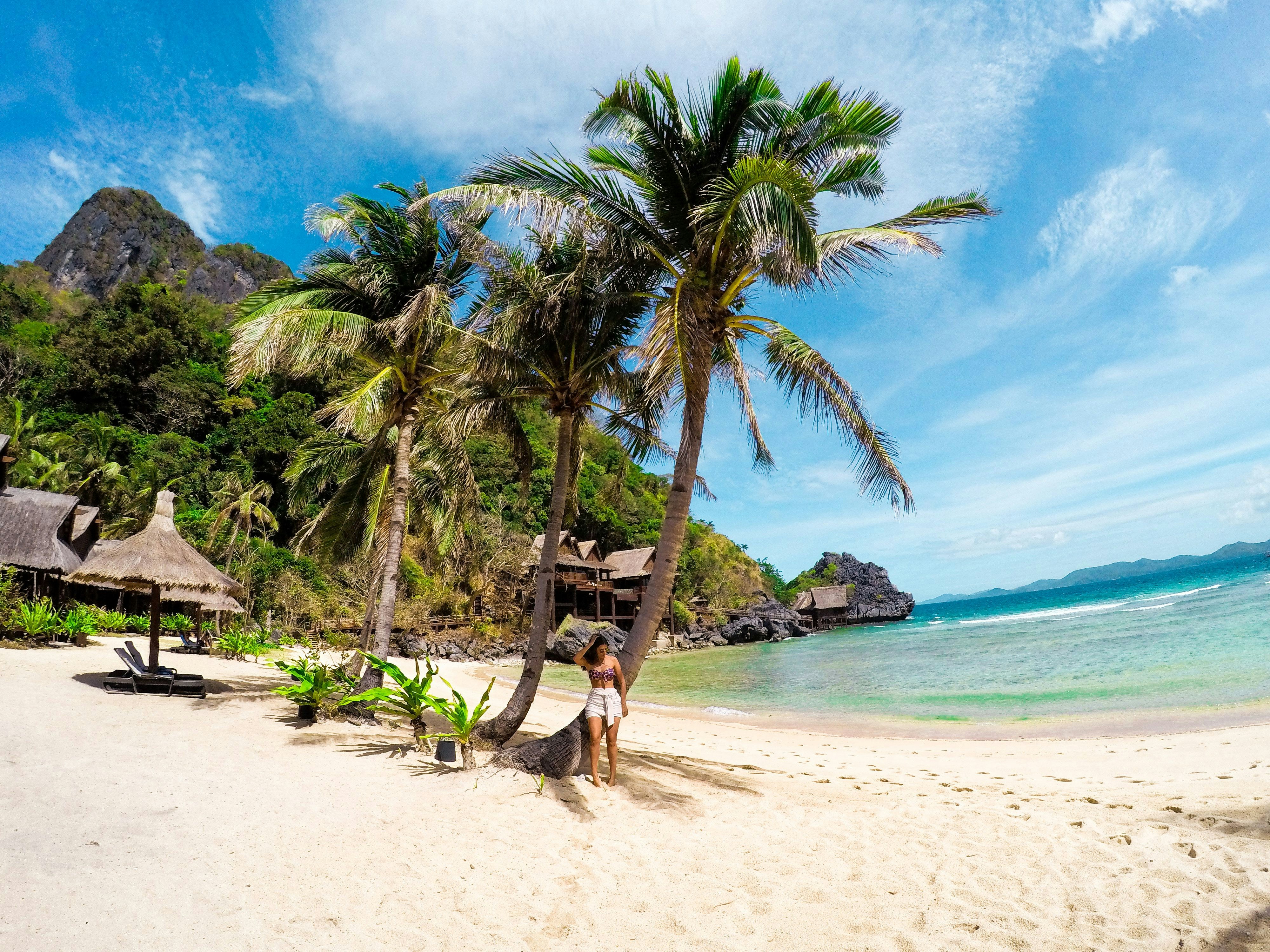
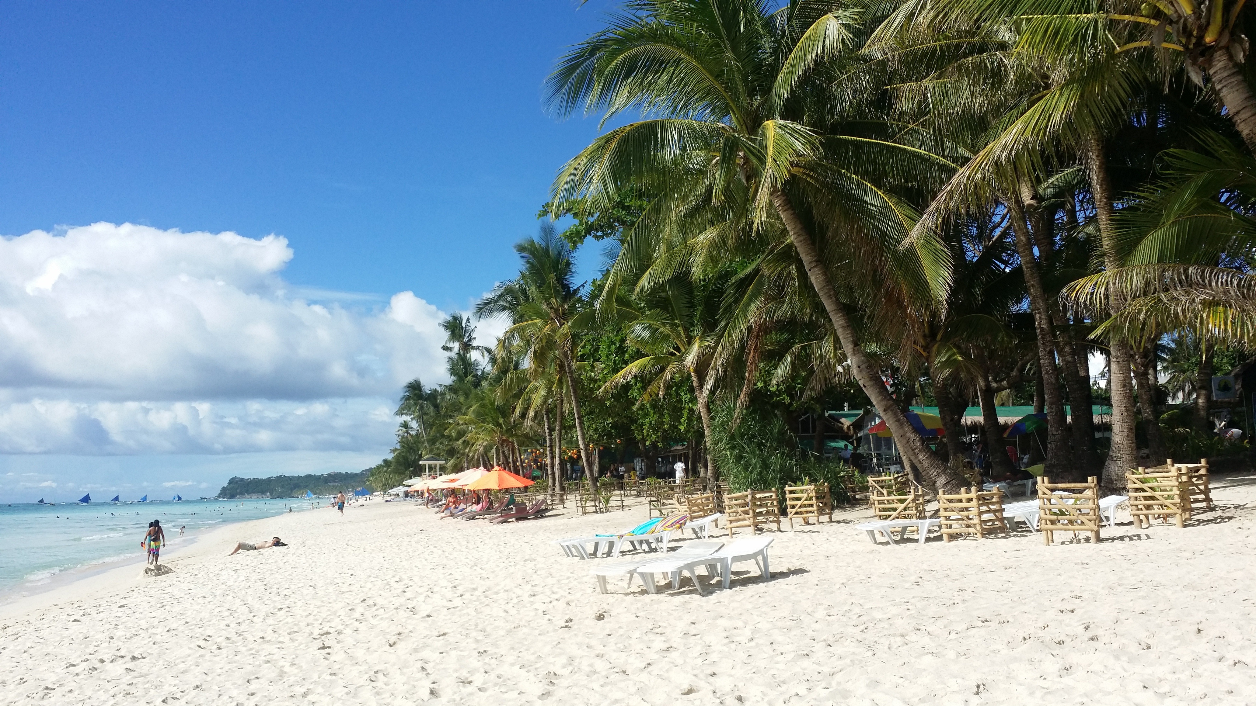
About Boracay Island
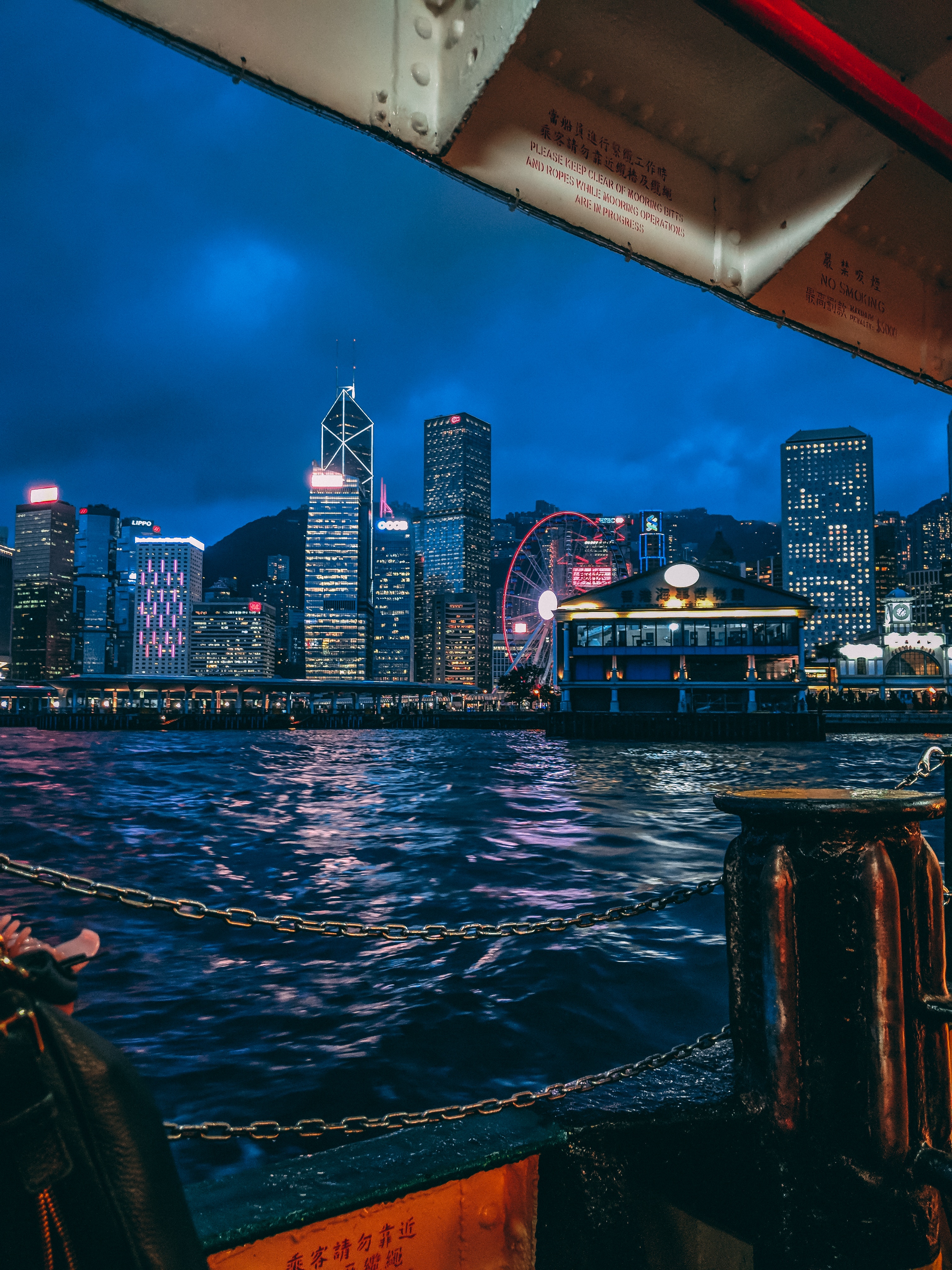
About Hong Kong
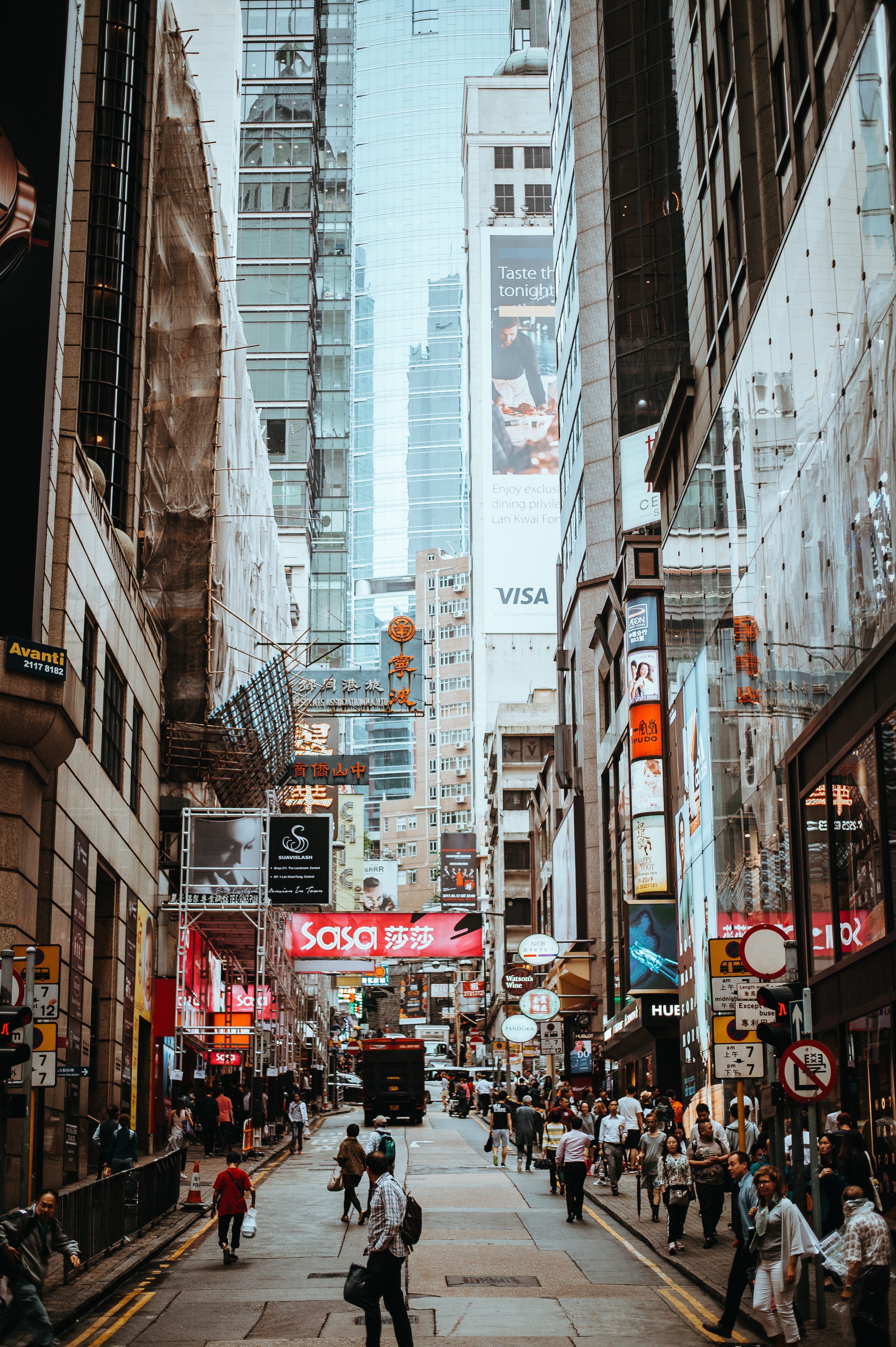
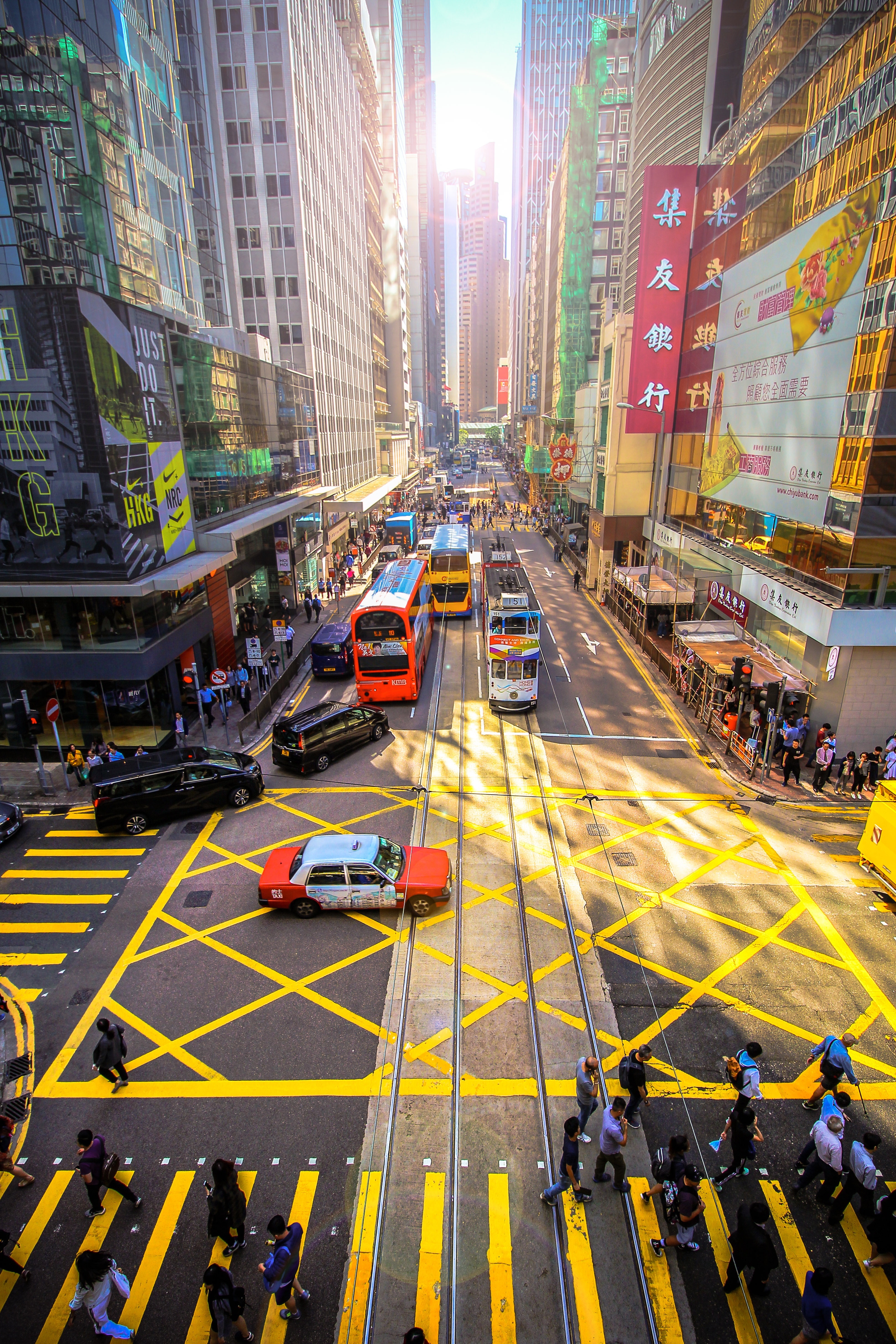
The Hong Kong Island skyline, with its ever-growing number of skyscrapers, speaks to ambition and money. Paris, London, even New York were centuries in the making, while Hong Kong's towers, bright lights, and glitzy shopping emporia weren't yet part of the urban scene when many of the young investment bankers who fuel one of the world's leading financial centers were born. Commerce is concentrated in the glittering high-rises of Central, tucked between Victoria Harbor and forested peaks on Hong Kong Island's north shore. While it's easy to think all the bright lights are the sum of today's Hong Kong, you need only walk or board a tram for the short jaunt west into Western to discover a side of Hong Kong that is more traditionally Chinese but no less high-energy. You'll discover the real Hong Kong to the east of Central, too, in Wan Chai, Causeway Bay, and beyond. Amid the residential towers are restaurants, shopping malls, bars, convention centers, a nice smattering of museums, and—depending on fate and the horse you wager on—one of Hong Kong's luckiest or unluckiest spots, the Happy Valley Racecourse. Kowloon sprawls across a generous swath of the Chinese mainland across Victoria Harbour from Central. Tsim Sha Tsui, at the tip of Kowloon peninsula, is packed with glitzy shops, first-rate museums, and eye-popping views of the skyline across the water. Just to the north are the teeming market streets of Mong Kok and in the dense residential neighborhoods beyond, two of Hong Kong's most enchanting spiritual sights, Wong Tai Sin Temple and Chi Lin Nunnery. As you navigate this huge metropolis (easy to do on the excellent transportation network), keep in mind that streets are usually numbered odd on one side, even on the other. There's no baseline for street numbers and no block-based numbering system, but street signs indicate building numbers for any given block.
About Sanya
About Ha Long Bay
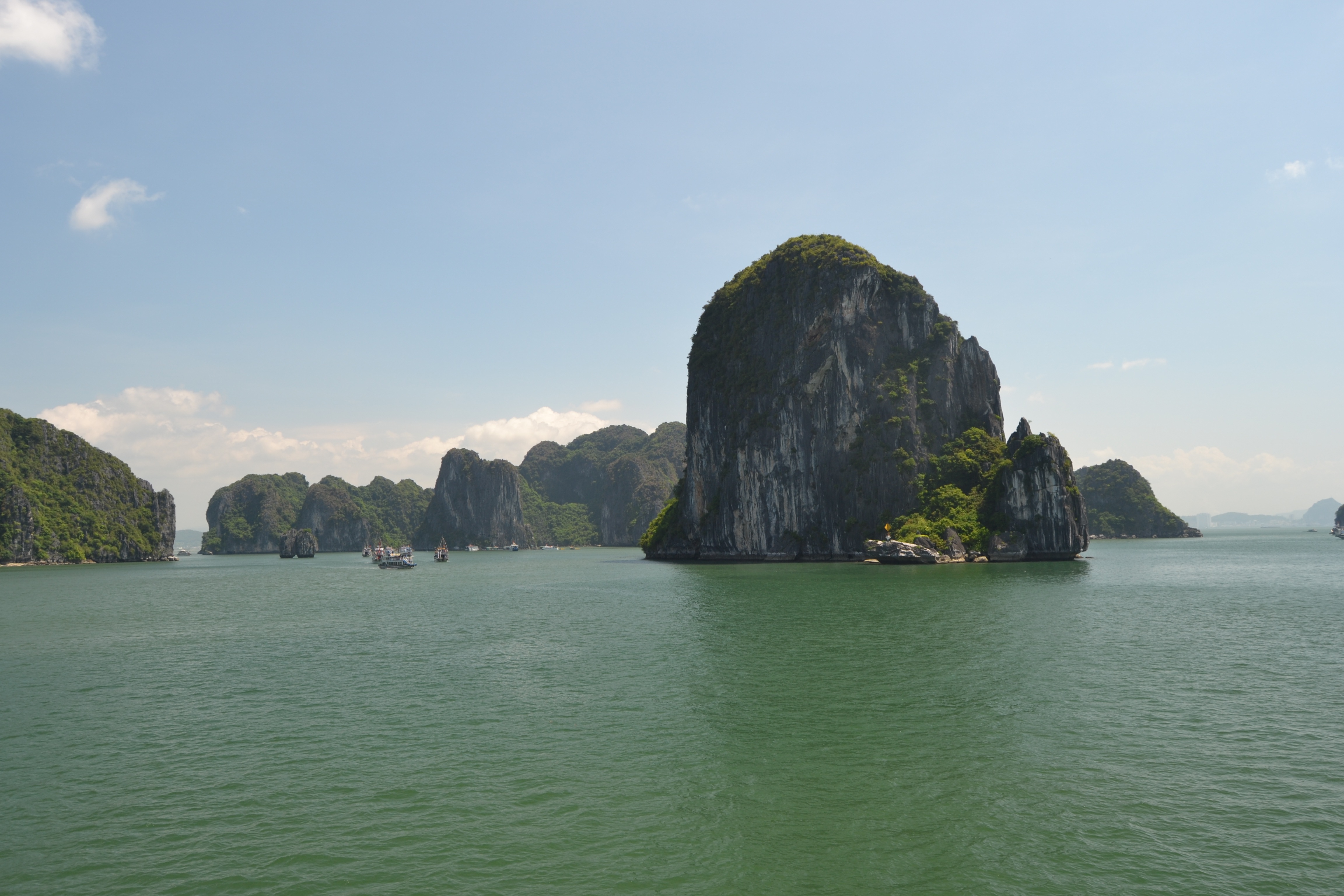
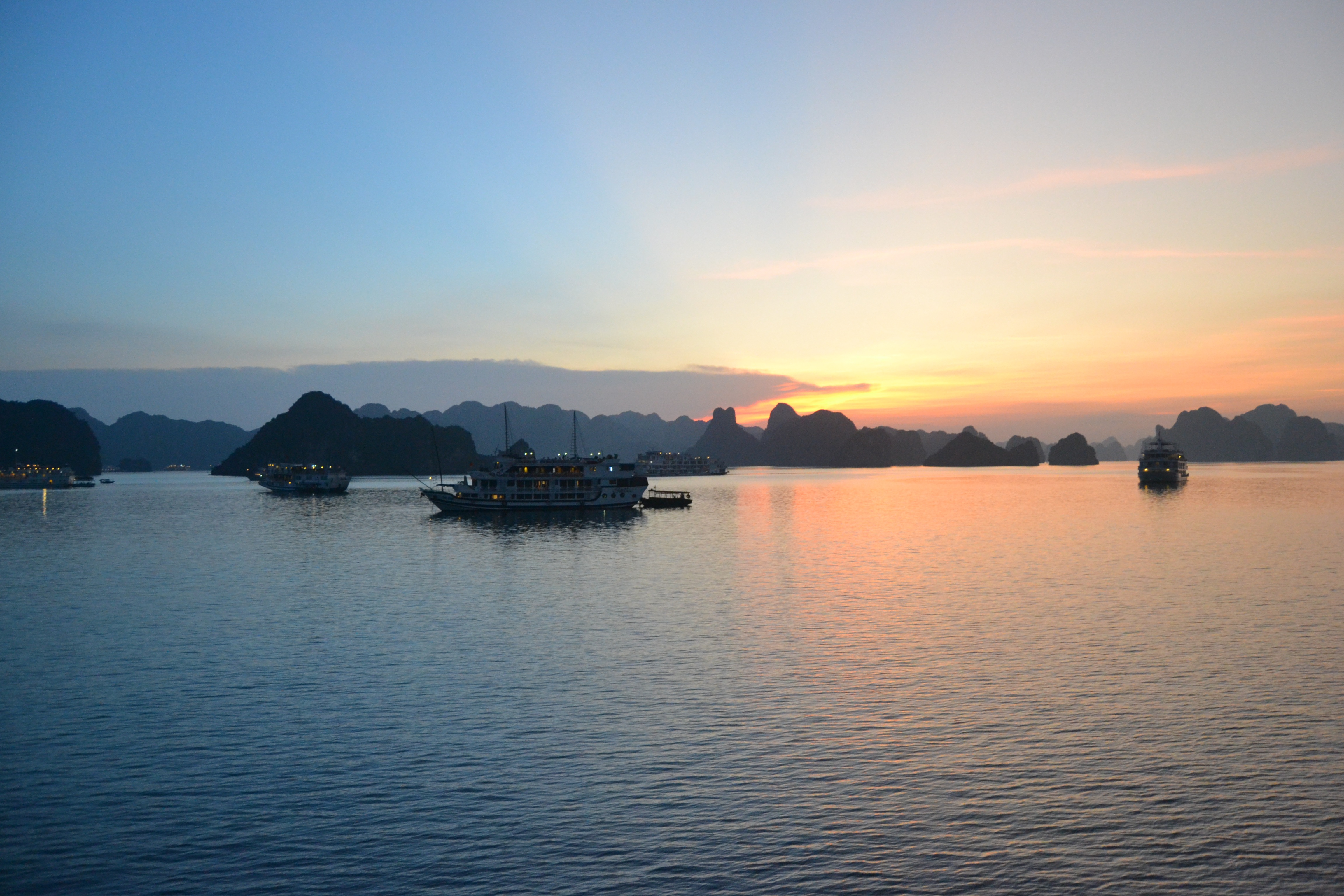
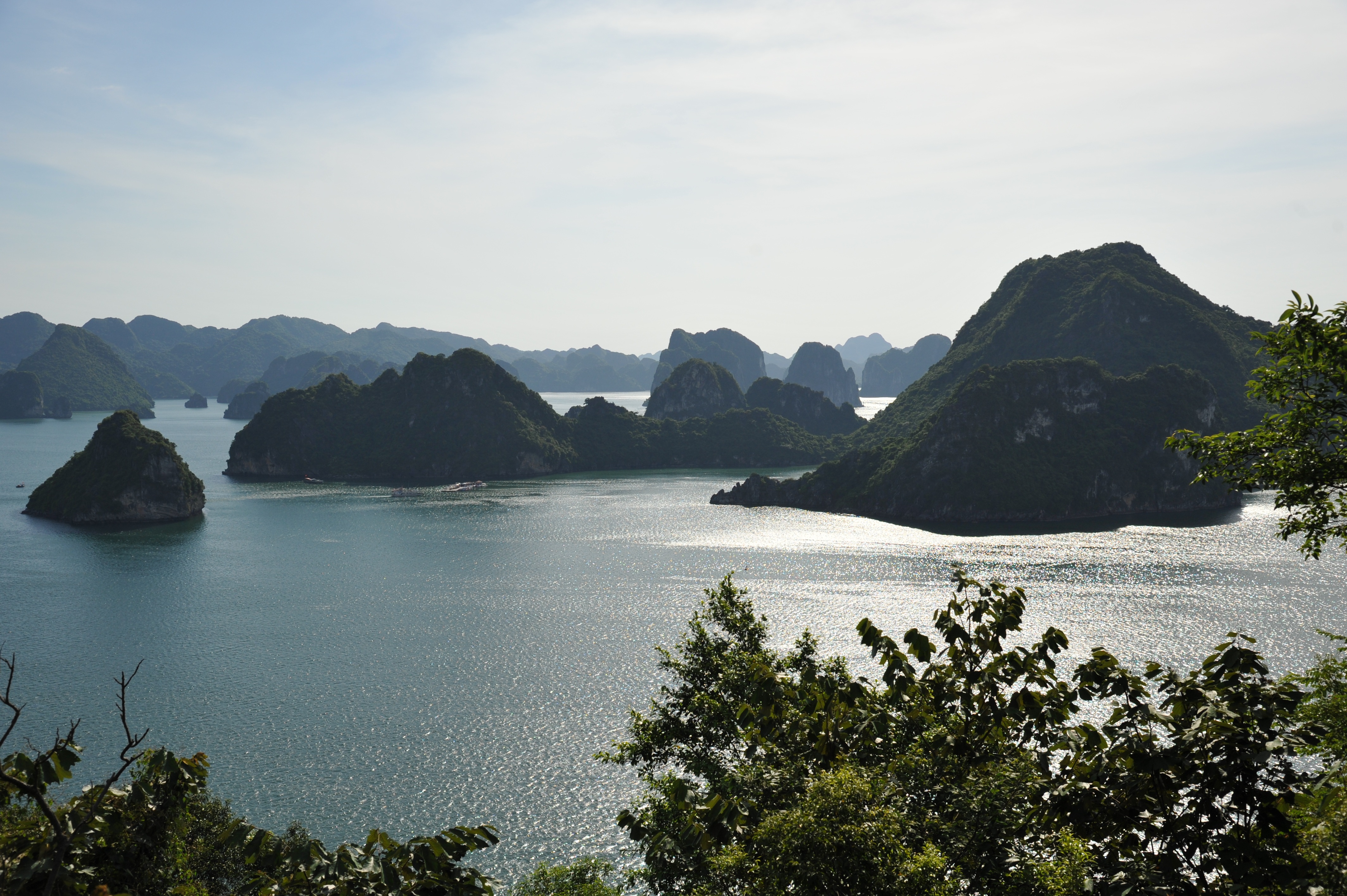
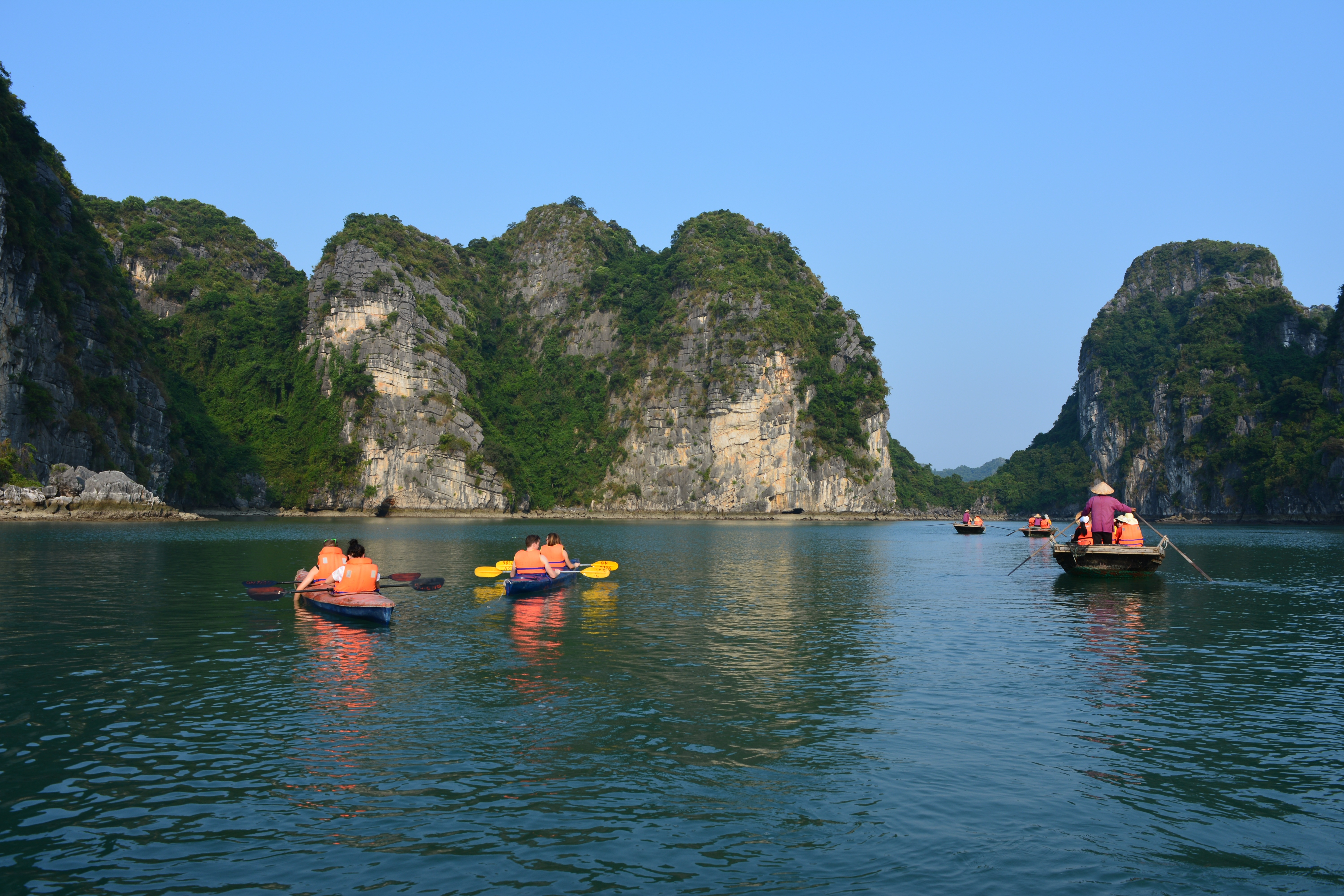
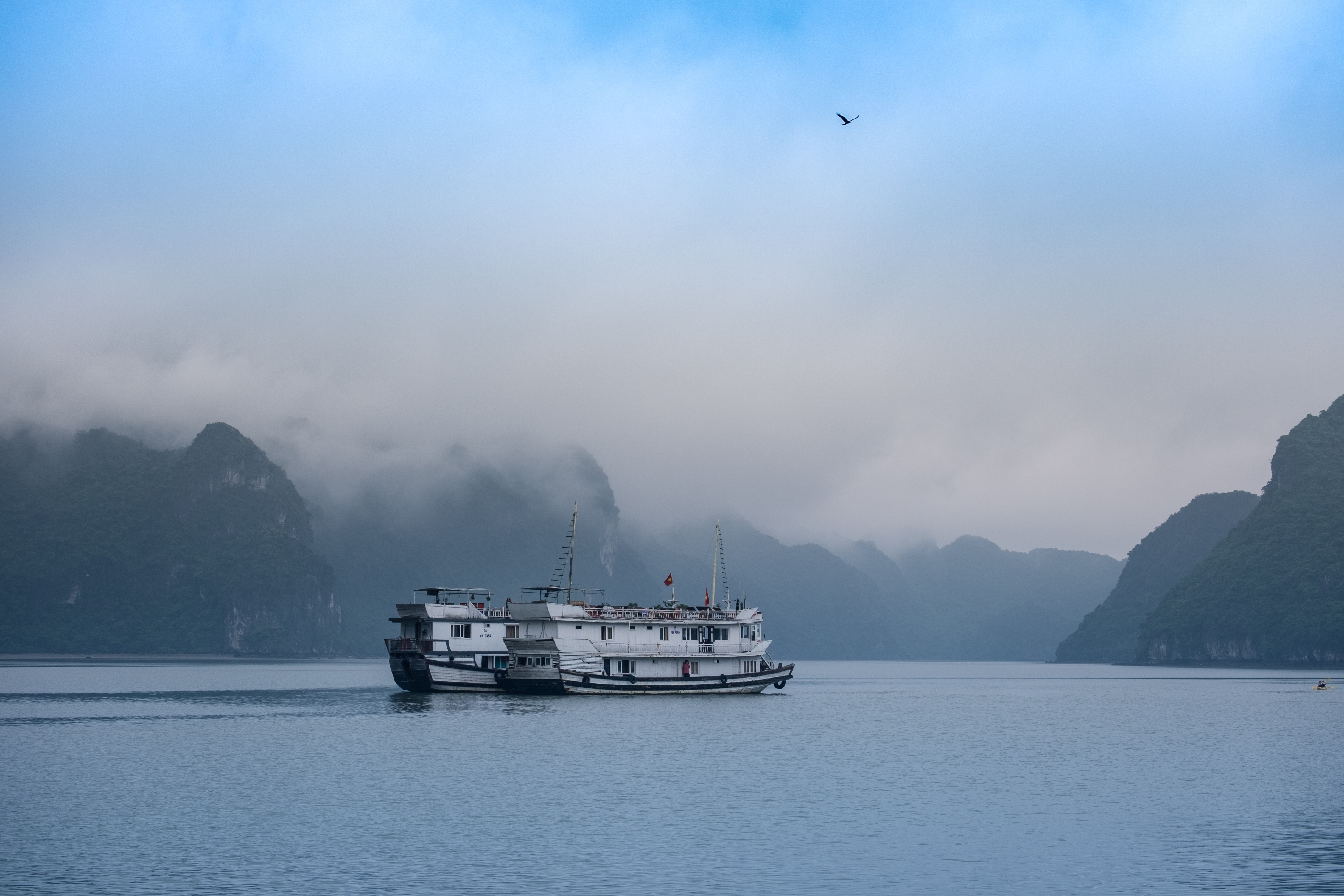
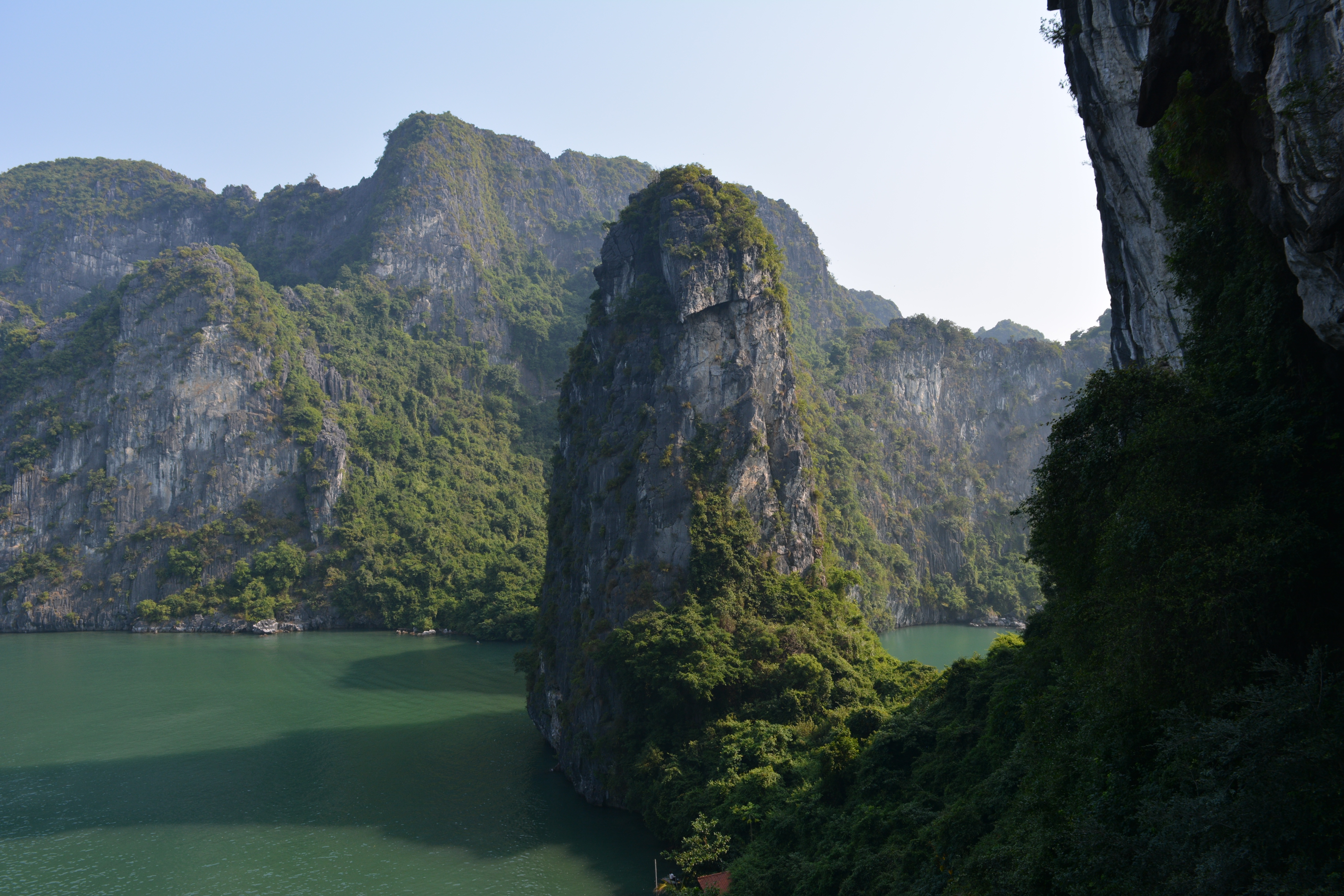
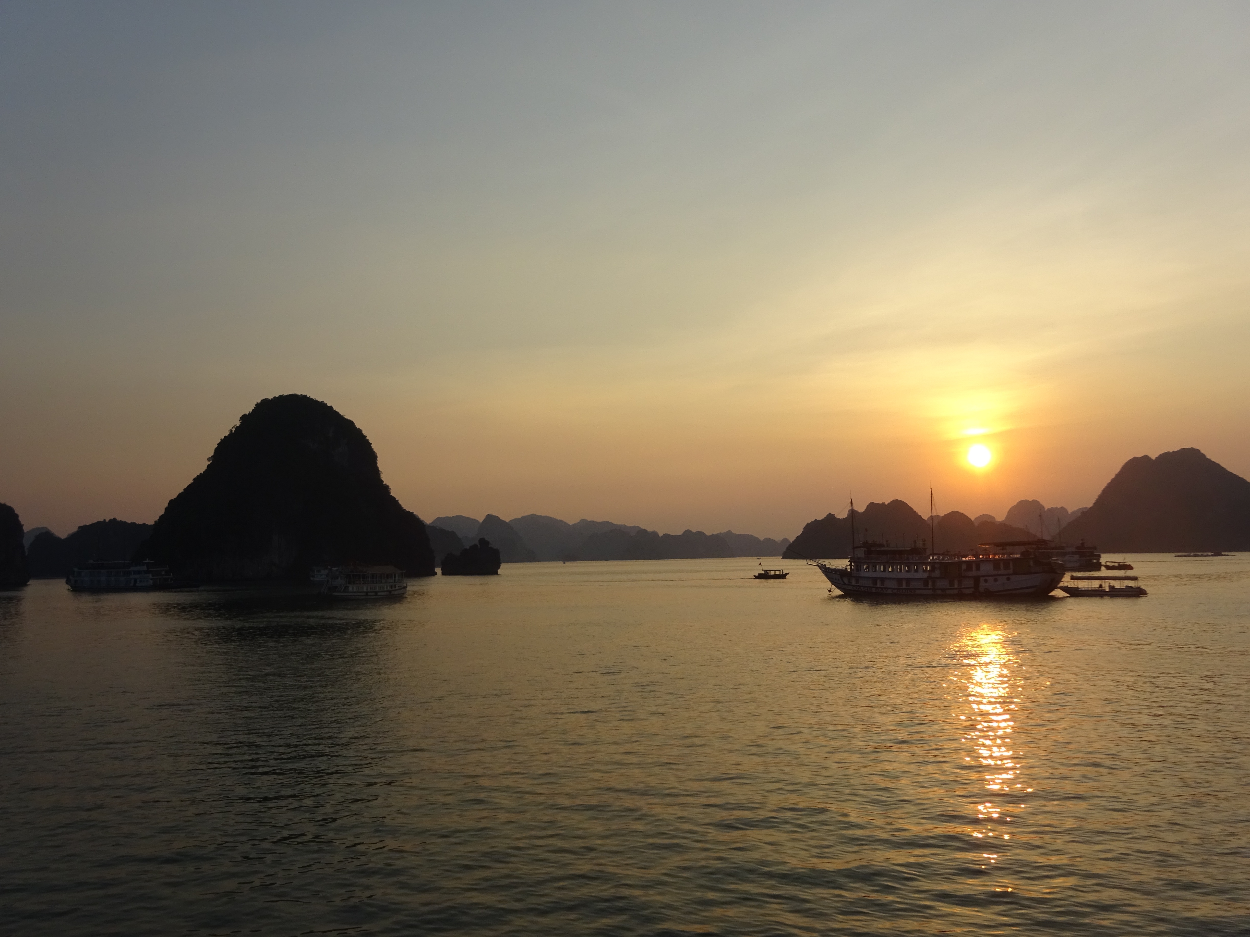
A visit to the north is not complete without a trip to Halong Bay, where placid waters give way to more than 3,000 limestone karsts and wind-sculpted limestone formations that jut from foggy lagoons. Dotting the bay are tiny islands bordered by white sandy coves and hidden caves, adding to the majestic landscape of this UNESCO World Heritage Site. Adding to this naturalist’s dream is the biodiversity of islets, grottos, and Cat Ba Island National Park. The bay, however, shows tourism’s impact: the clearing of mangrove forests to make way for jetties and piers, marine life threatened by game fishing, and garbage from passenger boats and fishing villages washed up on the shores.Beyond its geological uniqueness are activities like hiking, kayaking, rock climbing, or exploring one of the many floating villages where fishermen bring in their daily catch. The downside to all this allure is the large number of unlicensed boats it draws to the bay each day.Boat trips out onto the bay are the main tourism stock in trade farther north, but a more multifaceted side of the area can be experienced at Cat Ba Island. The largest island in Halong Bay, Cat Ba is very much its own entity. Its national park offers incredible biodiversity, with more than a thousand species of plants having been recorded here. Animal life is slightly thinner on the ground, but alert visitors may spy inhabitants such as the endangered golden-headed langur, wild boar, deer, civets, and several species of squirrel. Trekking through the wilderness is a highlight with a number of fascinating trails to follow.Cat Ba Island has also become a firm favorite with the adventure sports set. Indeed, along with Railay Beach in Thailand, it is recognized as one of the top spots in the region for rock climbing. Other outdoor pursuits include sailing and kayaking around the karsts. Although Halong Bay has arguably been tainted by over-exposure, Bai Tu Long Bay farther east toward China, retains all the majesty of Vietnam’s premier bucket-list natural attraction but sees a fraction of the traffic of its immediate neighbor to the west. Here, visitors will find islands of substantial size with deserted beaches and untamed jungle. Halong Bay's 3,000 islands of dolomite and limestone cover a 1,500-square-km (580-square-mile) area, extending across the Gulf of Tonkin nearly to the Chinese border. According to legend, this breathtaking land- and seascape was formed by a giant dragon that came barreling out of the mountains toward the ocean—hence the name (Halong translates into "descent of the dragon"). Geologists are more likely to attribute the formations to sedimentary limestone that formed here between 300 and 500 million years ago, in the Paleozoic Era. Over millions of years water receded and exposed the limestone to wind, rain, and tidal erosion.Today the limestone formations are exposed to hordes of tourists—but don't let that discourage you. Hundreds of fishing trawlers and tour boats share space on these crystal waters, yet there seems to be room for everyone. Most people use the main population center, Halong City, as a base from which to venture into the bay. Although it's now officially one municipality, Halong City was, until 1996, two separate towns: Bai Chay is now Halong City West, where Halong Road winds its way around the coast and past the lifeless central beach; Hon Gai is the grimier Halong City East, where a coal transportation depot dominates the center of town and covers nearby roads and buildings with a sooty film. Locals still refer to the towns by their old names, but they are now inexorably lassoed together by a bridge. Boat trips through Halong Bay are the main attraction. Little of the majesty of this region can be found in the city, so head out onto the water and start exploring. Countless 10- and 30-foot fishing boats have been converted into Halong Bay's formidable tourist-boat fleet. Hotels or travel agencies in Halong City or Hanoi can arrange boat trips for you (often they are part of organized tours from Hanoi). It is still possible to go down to the wharf and bargain yourself onto a boat for the day, but you are likely to be charged (sometimes significantly) more than you would pay for a prebooked tour, so this is not advised. Self-sufficient travelers have fallen victim to the old bait-and-switch: they've arranged a next-day boat tour with local fishermen, only to be told in no uncertain terms the following morning that they could not board their chosen boat, but they could take a different one for quite a bit more money. You may have no choice in the end. Usually travel agencies, however, have their tried-and-true favorites.
About Ha Long Bay
A visit to the north is not complete without a trip to Halong Bay, where placid waters give way to more than 3,000 limestone karsts and wind-sculpted limestone formations that jut from foggy lagoons. Dotting the bay are tiny islands bordered by white sandy coves and hidden caves, adding to the majestic landscape of this UNESCO World Heritage Site. Adding to this naturalist’s dream is the biodiversity of islets, grottos, and Cat Ba Island National Park. The bay, however, shows tourism’s impact: the clearing of mangrove forests to make way for jetties and piers, marine life threatened by game fishing, and garbage from passenger boats and fishing villages washed up on the shores.Beyond its geological uniqueness are activities like hiking, kayaking, rock climbing, or exploring one of the many floating villages where fishermen bring in their daily catch. The downside to all this allure is the large number of unlicensed boats it draws to the bay each day.Boat trips out onto the bay are the main tourism stock in trade farther north, but a more multifaceted side of the area can be experienced at Cat Ba Island. The largest island in Halong Bay, Cat Ba is very much its own entity. Its national park offers incredible biodiversity, with more than a thousand species of plants having been recorded here. Animal life is slightly thinner on the ground, but alert visitors may spy inhabitants such as the endangered golden-headed langur, wild boar, deer, civets, and several species of squirrel. Trekking through the wilderness is a highlight with a number of fascinating trails to follow.Cat Ba Island has also become a firm favorite with the adventure sports set. Indeed, along with Railay Beach in Thailand, it is recognized as one of the top spots in the region for rock climbing. Other outdoor pursuits include sailing and kayaking around the karsts. Although Halong Bay has arguably been tainted by over-exposure, Bai Tu Long Bay farther east toward China, retains all the majesty of Vietnam’s premier bucket-list natural attraction but sees a fraction of the traffic of its immediate neighbor to the west. Here, visitors will find islands of substantial size with deserted beaches and untamed jungle. Halong Bay's 3,000 islands of dolomite and limestone cover a 1,500-square-km (580-square-mile) area, extending across the Gulf of Tonkin nearly to the Chinese border. According to legend, this breathtaking land- and seascape was formed by a giant dragon that came barreling out of the mountains toward the ocean—hence the name (Halong translates into "descent of the dragon"). Geologists are more likely to attribute the formations to sedimentary limestone that formed here between 300 and 500 million years ago, in the Paleozoic Era. Over millions of years water receded and exposed the limestone to wind, rain, and tidal erosion.Today the limestone formations are exposed to hordes of tourists—but don't let that discourage you. Hundreds of fishing trawlers and tour boats share space on these crystal waters, yet there seems to be room for everyone. Most people use the main population center, Halong City, as a base from which to venture into the bay. Although it's now officially one municipality, Halong City was, until 1996, two separate towns: Bai Chay is now Halong City West, where Halong Road winds its way around the coast and past the lifeless central beach; Hon Gai is the grimier Halong City East, where a coal transportation depot dominates the center of town and covers nearby roads and buildings with a sooty film. Locals still refer to the towns by their old names, but they are now inexorably lassoed together by a bridge. Boat trips through Halong Bay are the main attraction. Little of the majesty of this region can be found in the city, so head out onto the water and start exploring. Countless 10- and 30-foot fishing boats have been converted into Halong Bay's formidable tourist-boat fleet. Hotels or travel agencies in Halong City or Hanoi can arrange boat trips for you (often they are part of organized tours from Hanoi). It is still possible to go down to the wharf and bargain yourself onto a boat for the day, but you are likely to be charged (sometimes significantly) more than you would pay for a prebooked tour, so this is not advised. Self-sufficient travelers have fallen victim to the old bait-and-switch: they've arranged a next-day boat tour with local fishermen, only to be told in no uncertain terms the following morning that they could not board their chosen boat, but they could take a different one for quite a bit more money. You may have no choice in the end. Usually travel agencies, however, have their tried-and-true favorites.
About Da Nang
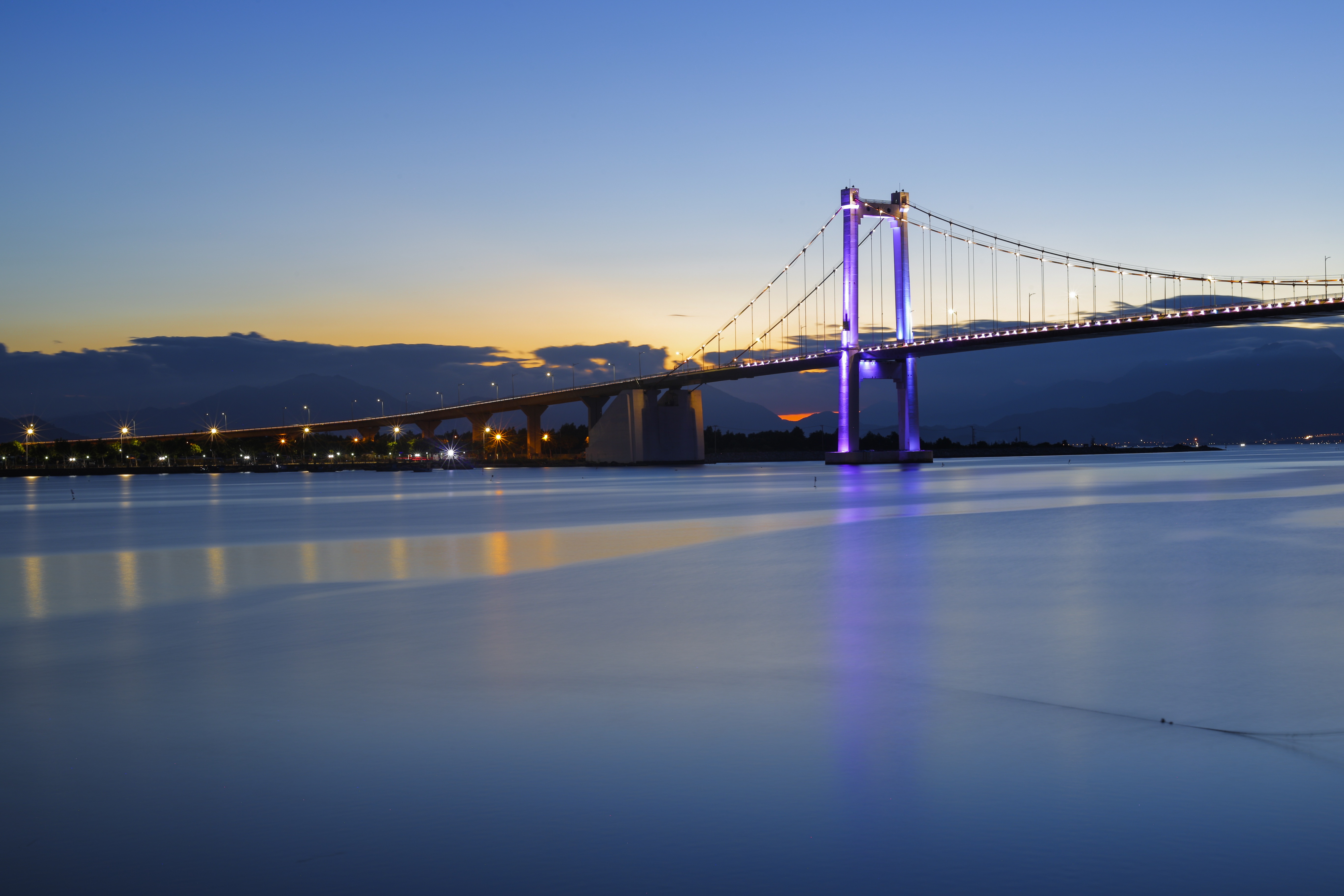
Da Nang is the third largest city in Vietnam with the land area of 1283 square kilometre and the population of approximately 1million people. Da Nang is growing into one of the most organized urban area, with attractive beach front villas on the one side and Han River flowing on the other. Of the few attractions that belong to the city, Museum of Cham stands out with its rich collection of Cham artefacts. For those who crave for more outdoors activities, My Khe beach is a good place to spend time, either by yourself or with your loved ones. Da Nang is in close proximity to Hue- 3 hours North and Hoi An- 30 minutes south, which makes it a perfect stop point for those who need a break from touristy areas. Hue was once the Royal Capital of Viet Nam. The city represents the outstanding demonstration of the power of the vanished Vietnamese feudal empire, including a complex of monuments, tombs and pagodas that attract tourists coming from all over the world. Hoi An has to this days well preserved its most sacred treasure, the centuries-old architecture. The town used to harbour foreign traders back in the 17-18th, and once is an important heavily-frequented trading port in Southeast Asia.
About Ho Chi Minh City
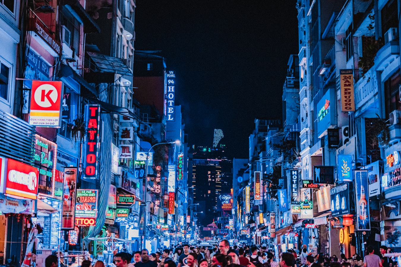
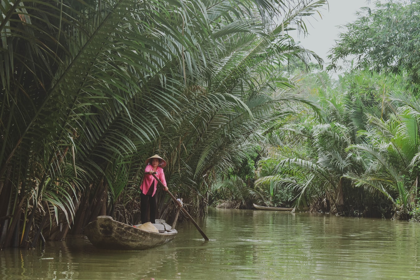
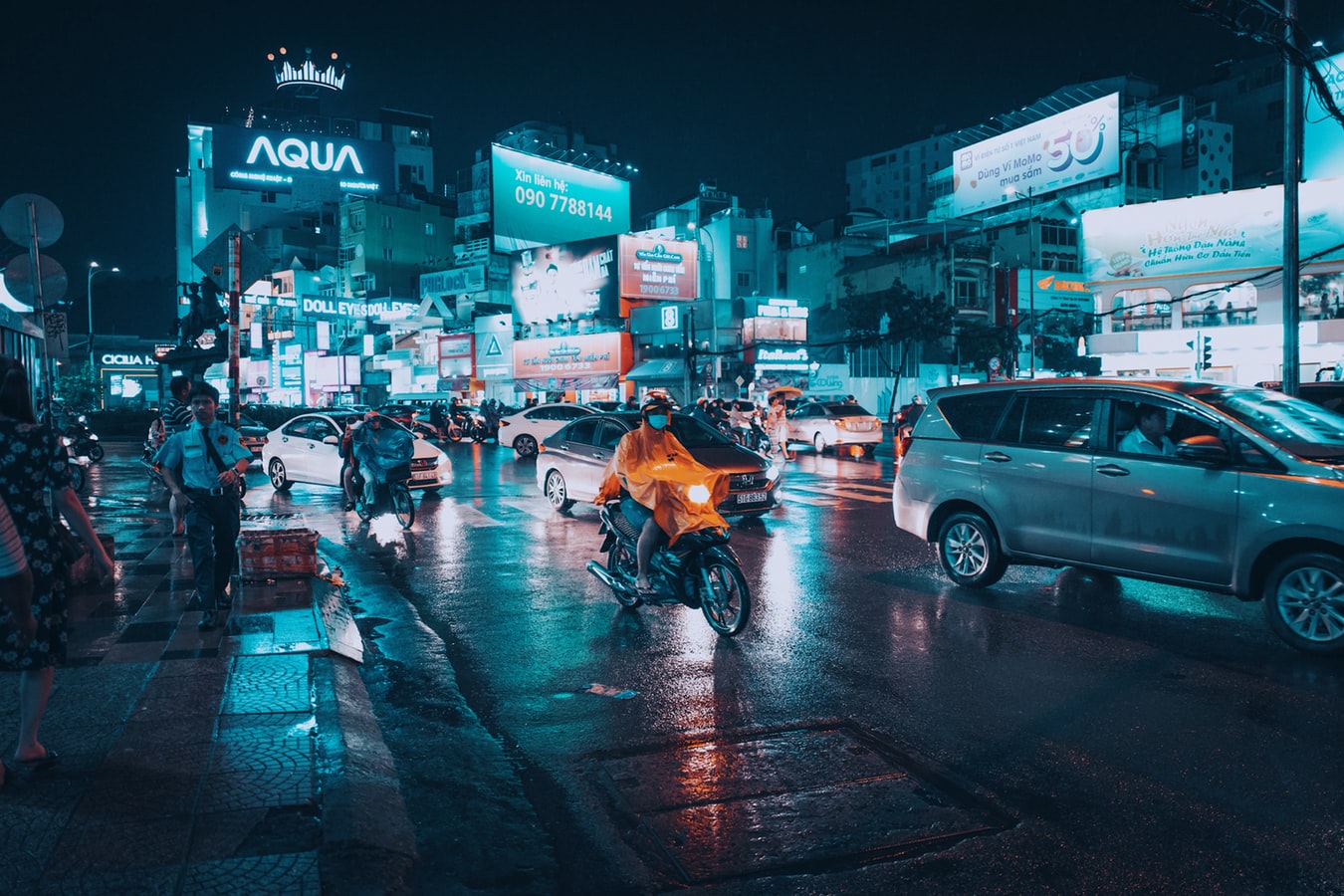
Romantically referred to by the French as the Pearl of the Orient, Ho Chi Minh City today is a super-charged city of sensory overload. Motorbikes zoom day and night along the wide boulevards, through the narrow back alleys and past vendors pushing handcarts hawking goods of all descriptions. Still called Saigon by most residents, this is Vietnam's largest city and the engine driving the country's current economic resurgence, but despite its frenetic pace, it's a friendlier place than Hanoi and locals will tell you the food—simple, tasty, and incorporating many fresh herbs—is infinitely better than in the capital.This is a city full of surprises. The madness of the city's traffic—witness the oddball things that are transported on the back of motorcycles—is countered by tranquil pagodas, peaceful parks, quirky coffee shops, and whole neighborhoods hidden down tiny alleyways, although some of these quiet spots can be difficult to track down. Life in Ho Chi Minh City is lived in public: on the back of motorcycles, on the sidewalks, and in the parks. Even when its residents are at home, they're still on display. With many living rooms opening onto the street, grandmothers napping, babies being rocked, and food being prepared, are all in full view of passersby.Icons of the past endure in the midst of the city’s headlong rush into capitalism. The Hotel Continental, immortalized in Graham Greene's The Quiet American, continues to stand on the corner of old Indochina's most famous thoroughfare, the rue Catinat, known to American G.I.s during the Vietnam War as Tu Do (Freedom) Street and renamed Dong Khoi (Uprising) Street by the Communists. The city still has its ornate opera house and its old French city hall, the Hôtel de Ville. The broad colonial boulevards leading to the Saigon River and the gracious stucco villas are other remnants of the French colonial presence. Grisly reminders of the more recent past can be seen at the city's war-related museums. Residents, however, prefer to look forward rather than back and are often perplexed by tourists' fascination with a war that ended 40 years ago.The Chinese influence on the country is still very much in evidence in the Cholon district, the city's Chinatown, but the modern office towers and international hotels that mark the skyline symbolize Vietnam's fixation on the future.
About Ho Chi Minh City
Romantically referred to by the French as the Pearl of the Orient, Ho Chi Minh City today is a super-charged city of sensory overload. Motorbikes zoom day and night along the wide boulevards, through the narrow back alleys and past vendors pushing handcarts hawking goods of all descriptions. Still called Saigon by most residents, this is Vietnam's largest city and the engine driving the country's current economic resurgence, but despite its frenetic pace, it's a friendlier place than Hanoi and locals will tell you the food—simple, tasty, and incorporating many fresh herbs—is infinitely better than in the capital.This is a city full of surprises. The madness of the city's traffic—witness the oddball things that are transported on the back of motorcycles—is countered by tranquil pagodas, peaceful parks, quirky coffee shops, and whole neighborhoods hidden down tiny alleyways, although some of these quiet spots can be difficult to track down. Life in Ho Chi Minh City is lived in public: on the back of motorcycles, on the sidewalks, and in the parks. Even when its residents are at home, they're still on display. With many living rooms opening onto the street, grandmothers napping, babies being rocked, and food being prepared, are all in full view of passersby.Icons of the past endure in the midst of the city’s headlong rush into capitalism. The Hotel Continental, immortalized in Graham Greene's The Quiet American, continues to stand on the corner of old Indochina's most famous thoroughfare, the rue Catinat, known to American G.I.s during the Vietnam War as Tu Do (Freedom) Street and renamed Dong Khoi (Uprising) Street by the Communists. The city still has its ornate opera house and its old French city hall, the Hôtel de Ville. The broad colonial boulevards leading to the Saigon River and the gracious stucco villas are other remnants of the French colonial presence. Grisly reminders of the more recent past can be seen at the city's war-related museums. Residents, however, prefer to look forward rather than back and are often perplexed by tourists' fascination with a war that ended 40 years ago.The Chinese influence on the country is still very much in evidence in the Cholon district, the city's Chinatown, but the modern office towers and international hotels that mark the skyline symbolize Vietnam's fixation on the future.
About Kâmpóng Saôm
Sihanoukville is the premier beach destination in Cambodia for tourists and Cambodians alike, with golden white sands, tropical islands and mangrove jungles. A relatively new city, it sprang to life in 1955 with the construction of the only deep-sea port of a newly independent Cambodia. With the bay of Thailand surrounding it on three sides, Sihanoukville was named in honour of the former King Norodom Sihanouk in 1964. As Cambodia descended into civil war the town fell on hard times with the Khmer Rouge using the famous Independence Hotel for target practice. In 1993 peace returned to Cambodia and since then Sihanoukville has been slowly rebuilding itself. Today it attracts Asian Individual travellers, young students and back-packers but after decades of war and upheaval the town’s infrastructure is still very much in its infancy. A visit to Ream National Park offers pristine mangrove forests rich in wildlife with miles of beaches unmarked by footprints.
About Bangkok
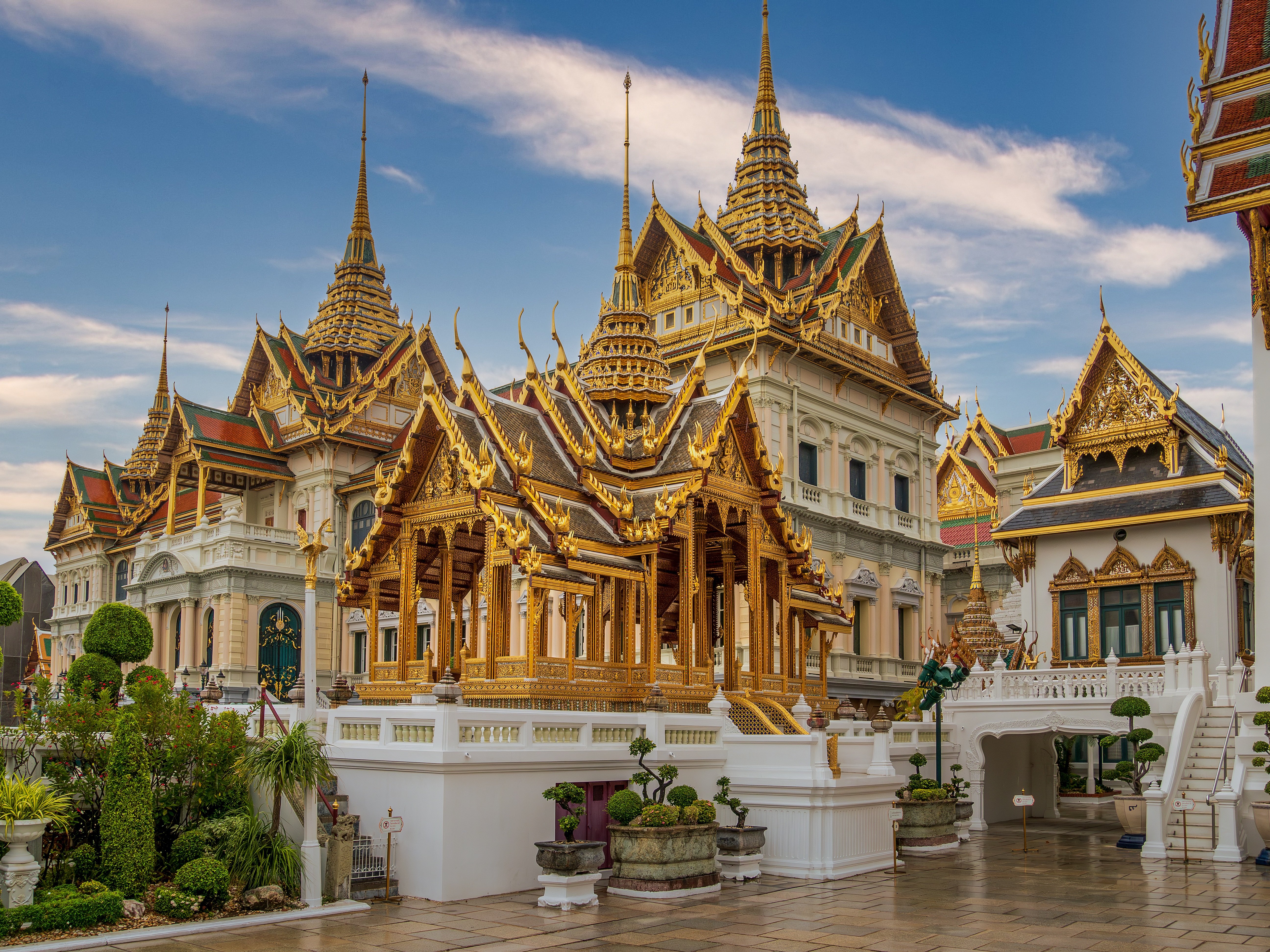
Bangkok, also known as the City of Angels and Venice of the East thrills with energy. There's such a vast array of sightseeing, shopping, and eating possibilities that you'll have little time to rest. When you do find a moment, pamper yourself with spa treatments, skyline-view bars, luxurious hotels, and excellent restaurants. The city is a mesmerizing blend of old and new, East and West, and dizzying contradictions. Temples and red-light districts, languid canals and permanent gridlock, streetside vendors and chic upscale eateries, all make their home together, all at the same time. Bangkok rarely fails to make an impression, and yes, you might need to go spend a few days on the beach to recover from it all. Although Bangkok is not known for jaw-dropping tourist attractions, it does have an endless supply of worthwhile pilgrimages. The Grand Palace, Wat Phra Kaew, and the Emerald Buddha are tops on every visitor's itinerary, and lesser-known temples, such as Wat Benjamabophit, the golden stupa of Wat Sakhet, and Wat Suthat, are all worthy of a stop. Besides temples, there are plenty of other interesting niches and touring possibilities to fit just about every interest. Take in a venom extraction and python feeding show at the Queen Saowapha Snake Farm, or go to the nearby Jim Thompson House to learn all about the famed Thai silk industry. If architecture is your forte, there is the Suan Pakkard Palace with its antique teak house collection, and the even more astounding Vimanmek Palace, which contains the world's largest golden teak building. Bangkok's Chinatown merits at least a day on every travel itinerary—be sure to check out the sprawling labyrinthine Flower and Thieves markets. Thai food is unrivaled for spice, taste, and variation. From multicourse meals to small street vendors, the one constant here is fresh and delicious at every level. You can have superlative roast duck or wonton noodles on a street corner for lunch and then be dining on world-class chef creations in the Oriental or Shangri-La hotels for supper. It doesn't have to be all spicy Thai either, as Bangkok is home to excellent French, Italian, and other world cuisines, and you need a few years just to make a dent in all the options that are available. The Old City is a major destination for travelers, as it's home to opulent temples like Wat Po and Wat Phra Kaew. Across the river is Thonburi, a mostly residential neighborhood, where you can find Wat Arun. At the northern tip of the Old City is Banglamphu, one of Bangkok's older residential neighborhoods. It's best known now for Khao San Road, a backpacker hangout, though the neighborhood has much more to offer, especially when it comes to street food. North of Banglamphu is Dusit, the royal district since the days of Rama V. East of the Old City is Chinatown, a labyrinth of streets with restaurants, shops, and warehouses. Farther down the Chao Phraya River is bustling Silom Road, one of the city's major commercial districts. Patpong, the city's most famous of several red-light districts, is also here. Bang Rak is home to some of the city's leading hotels: the Mandarin Oriental, the Peninsula, the Royal Orchid Sheraton, and the Shangri-La. To the north of Rama IV Road is Bangkok's largest green area, Lumphini Park. Continue north and you reach Sukhumvit Road, once a residential area. More recently, Thong Lor, farther east along Sukhumvit, has become the "in" neighborhood for those want to see and be seen. The Nana and Asok areas of Sukhumvit are now home to the even busier red-light entertainment districts (Nana and Soi Cowboy) than Patpong.
About Huahine


About Mu Ko Ang Thong National Marine Park
About Ko Samui
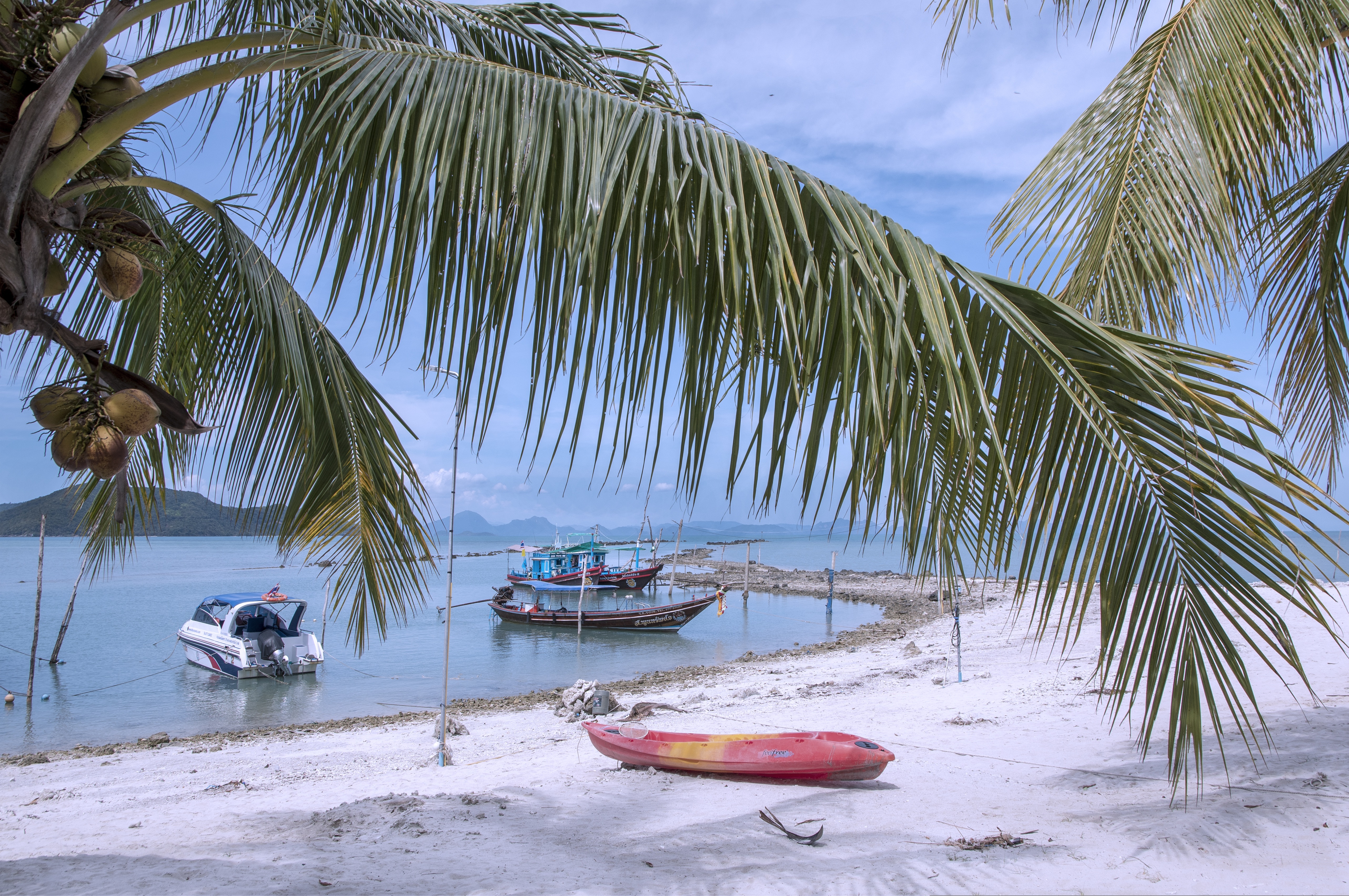
Koh Samui is the most popular tourist destination on the Western Gulf coast, which isn't surprising, considering the island's gorgeous beaches, perfect weather, and sparkling blue, almost turquoise, water. Koh Samui has seen rapid development since the 1990s, and you'll encounter hotels in all price ranges.Koh Samui is half the size of Phuket, so you could easily drive around it in a day. But Koh Samui is best appreciated by those who take a slower, more casual approach. Most people come for the sun and sea, so they head straight to their hotel and rarely venture beyond its beach. But it's worth exploring beyond your lodging. Every beach has its own character, and you might find the perfect one for you. One beach many visitors find to their liking is Chawaeng. On Koh Samui's east coast, this stretch of glistening white sand is divided into two main sections—Chawaeng Yai (yai means "big") and Chawaeng Noi (noi means "little"). You'll find the greatest variety of hotels, restaurants, and bars here. Despite the crowds, Chawaeng is no Pattaya or Patong—the mood is very laid-back. A rocky headland separates Chawaeng Lamai Beach, whose clear water and long stretch of sand were the first place on the island to attract developers. More budget accommodations are available here than in Chawaeng, and there are some happening nightclubs.On the west coast of Koh Samui, Na Thon is the island's primary port and the spot where ferries arrive from the mainland. It's home to the island's governmental offices, including the Tourism Authority of Thailand, and there are banks, foreign-exchange booths, travel agents, shops, restaurants, and cafés by the ferry pier. A few places rent rooms, but there's really no reason to stay here—nicer accommodations can be found a short songthaew ride away.To the north and east of Na Thon lie a few beaches worthy of exploration. Laem Yai, 5 km (3 miles) north, has great seafood. East of here, a small headland separates two low-key communities on the northern shore, Mae Nam and Bophut Beach. Mae Nam is also the departure point for boats bound for Koh Phangan and Koh Tao . Just south of the Samui's northeastern tip you'll find sandy Choengmon Beach, a good area for swimming that's not overdeveloped.
About Ko Samui
Koh Samui is the most popular tourist destination on the Western Gulf coast, which isn't surprising, considering the island's gorgeous beaches, perfect weather, and sparkling blue, almost turquoise, water. Koh Samui has seen rapid development since the 1990s, and you'll encounter hotels in all price ranges.Koh Samui is half the size of Phuket, so you could easily drive around it in a day. But Koh Samui is best appreciated by those who take a slower, more casual approach. Most people come for the sun and sea, so they head straight to their hotel and rarely venture beyond its beach. But it's worth exploring beyond your lodging. Every beach has its own character, and you might find the perfect one for you. One beach many visitors find to their liking is Chawaeng. On Koh Samui's east coast, this stretch of glistening white sand is divided into two main sections—Chawaeng Yai (yai means "big") and Chawaeng Noi (noi means "little"). You'll find the greatest variety of hotels, restaurants, and bars here. Despite the crowds, Chawaeng is no Pattaya or Patong—the mood is very laid-back. A rocky headland separates Chawaeng Lamai Beach, whose clear water and long stretch of sand were the first place on the island to attract developers. More budget accommodations are available here than in Chawaeng, and there are some happening nightclubs.On the west coast of Koh Samui, Na Thon is the island's primary port and the spot where ferries arrive from the mainland. It's home to the island's governmental offices, including the Tourism Authority of Thailand, and there are banks, foreign-exchange booths, travel agents, shops, restaurants, and cafés by the ferry pier. A few places rent rooms, but there's really no reason to stay here—nicer accommodations can be found a short songthaew ride away.To the north and east of Na Thon lie a few beaches worthy of exploration. Laem Yai, 5 km (3 miles) north, has great seafood. East of here, a small headland separates two low-key communities on the northern shore, Mae Nam and Bophut Beach. Mae Nam is also the departure point for boats bound for Koh Phangan and Koh Tao . Just south of the Samui's northeastern tip you'll find sandy Choengmon Beach, a good area for swimming that's not overdeveloped.
About Kuala Terengganu
About Kuala Terengganu
About Perhentian Island
About Tioman
About Anambas Islands
About Kidjang, Bintan
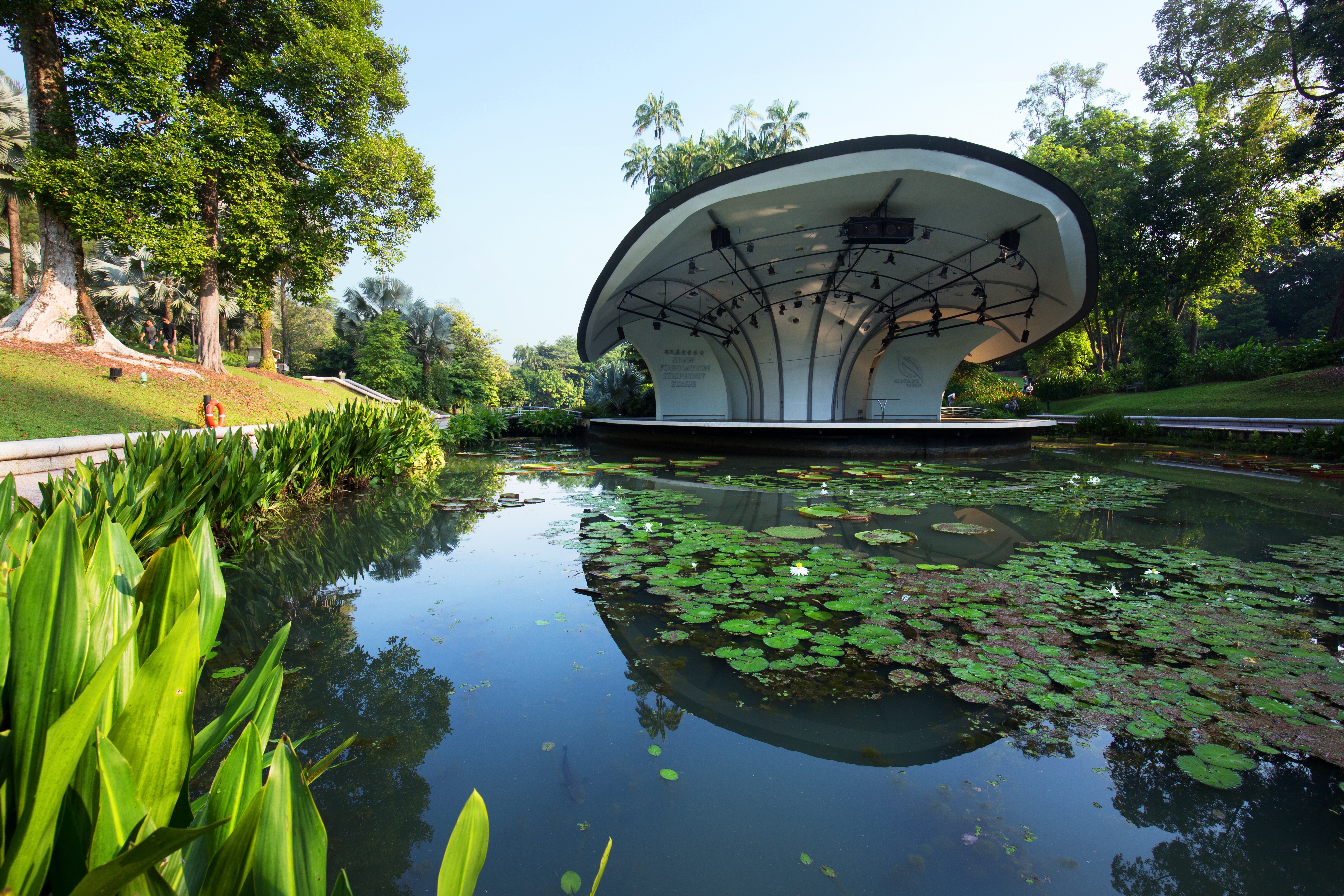
About Singapore
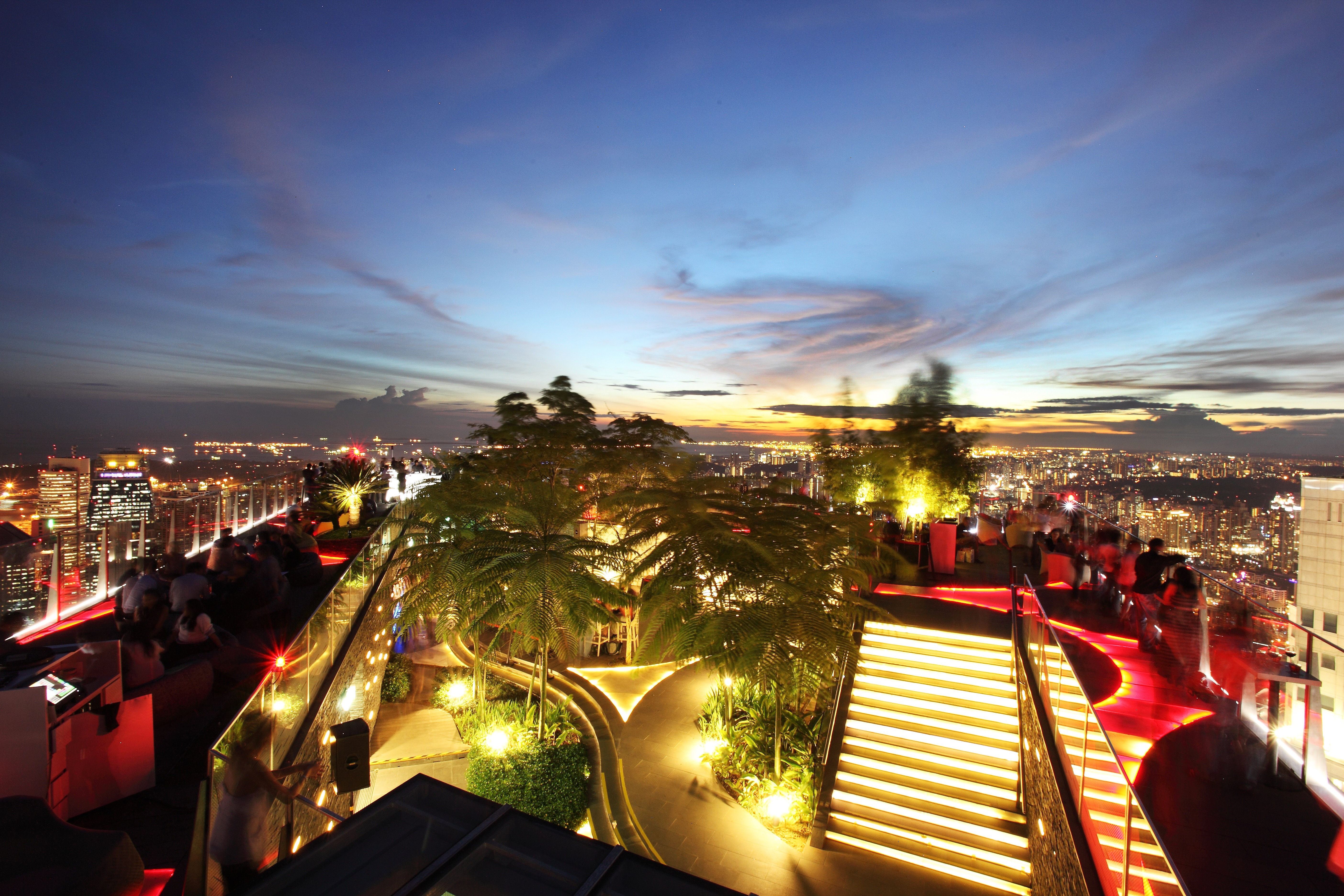
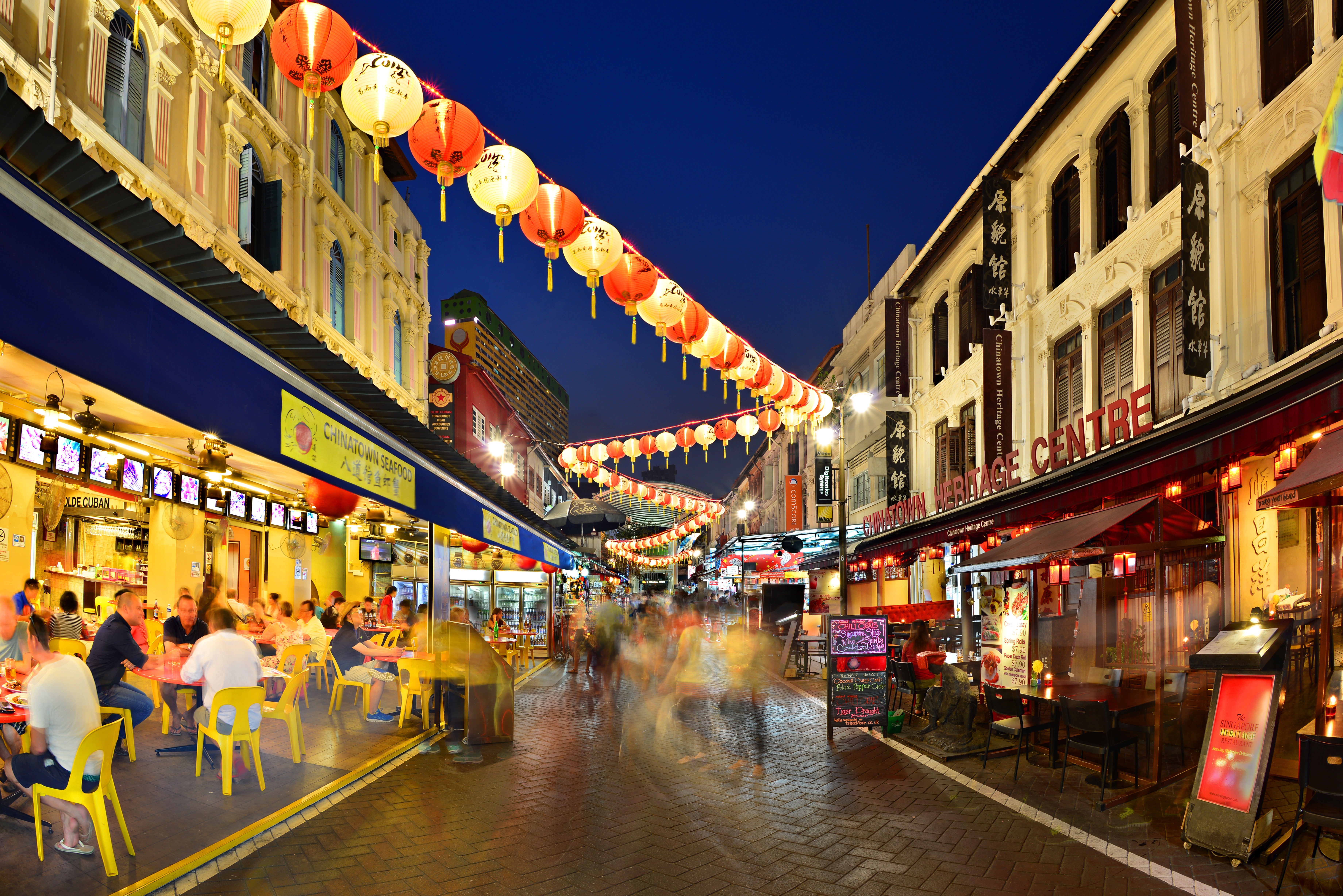
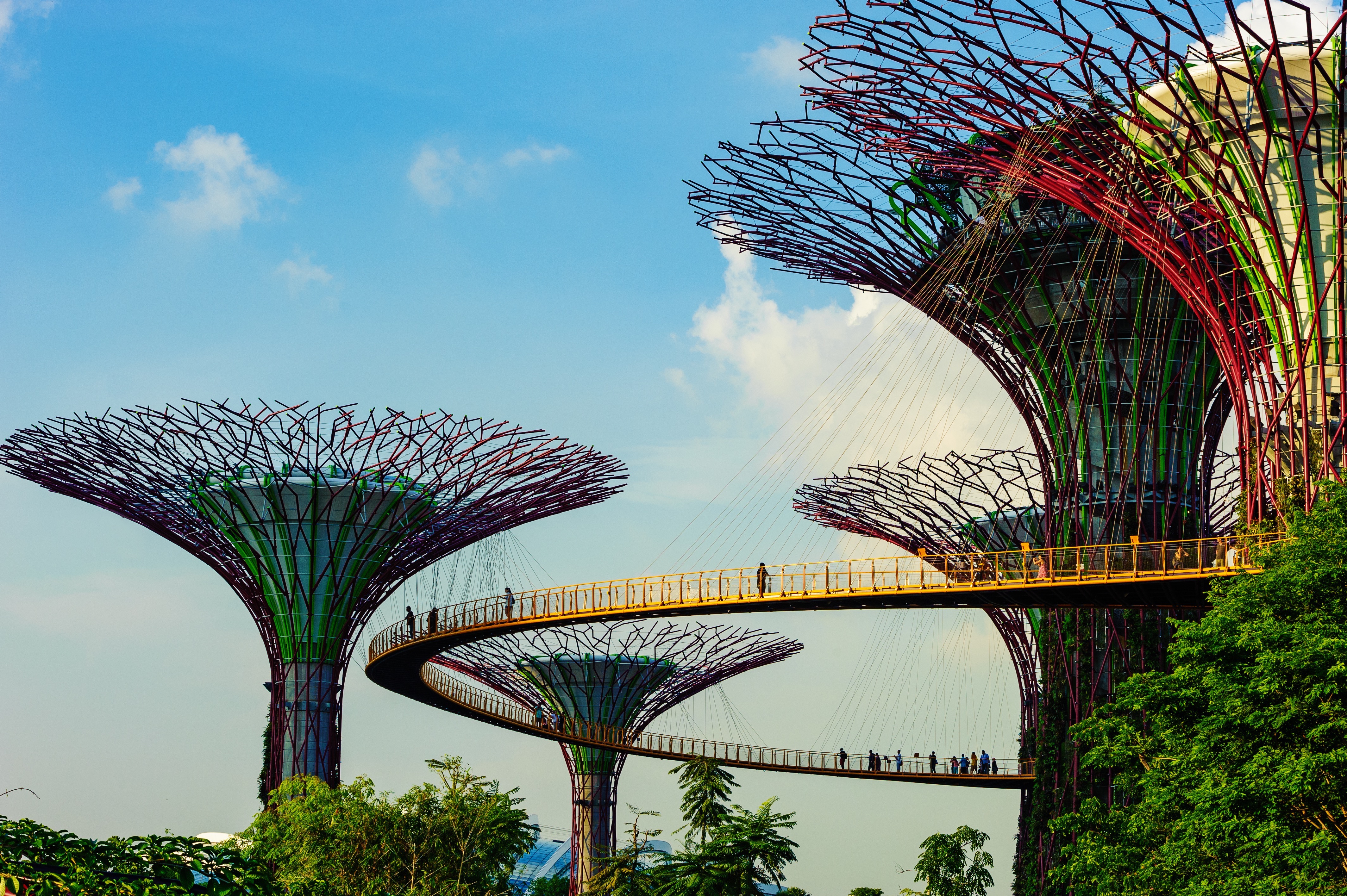
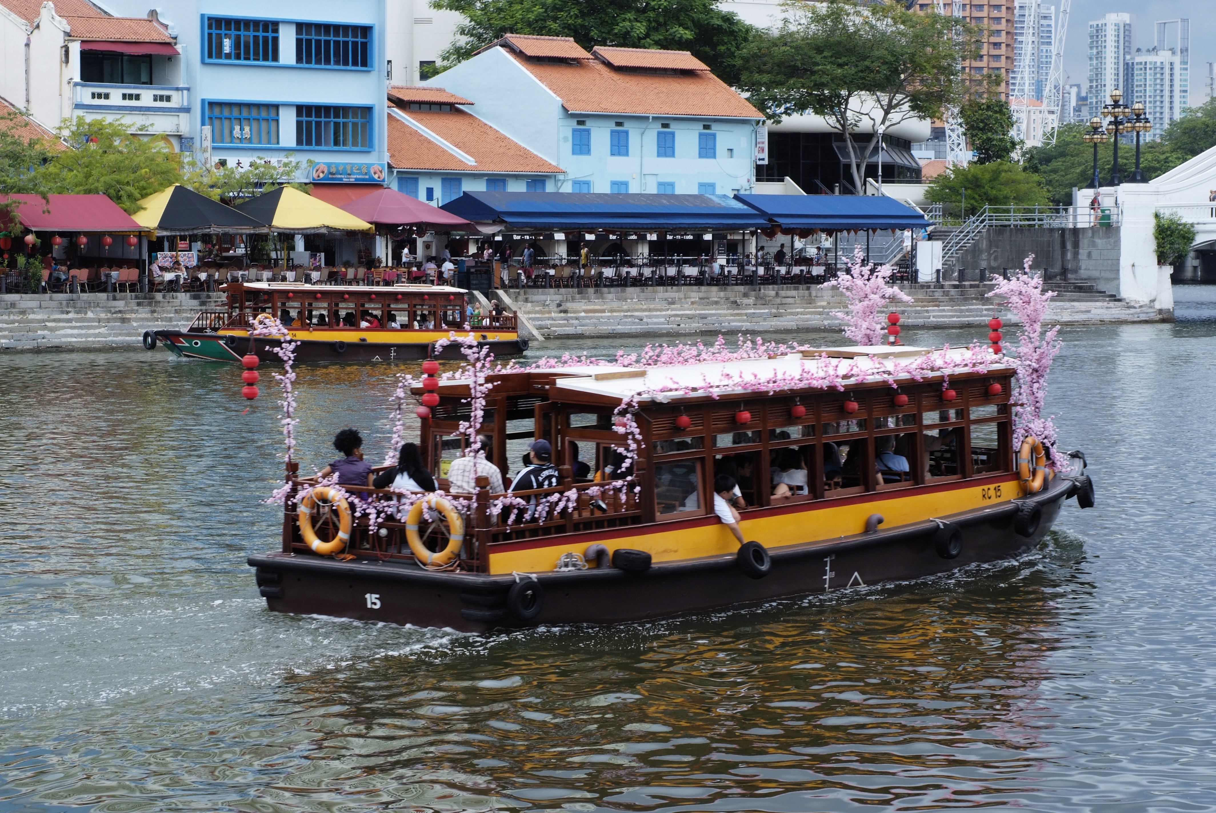
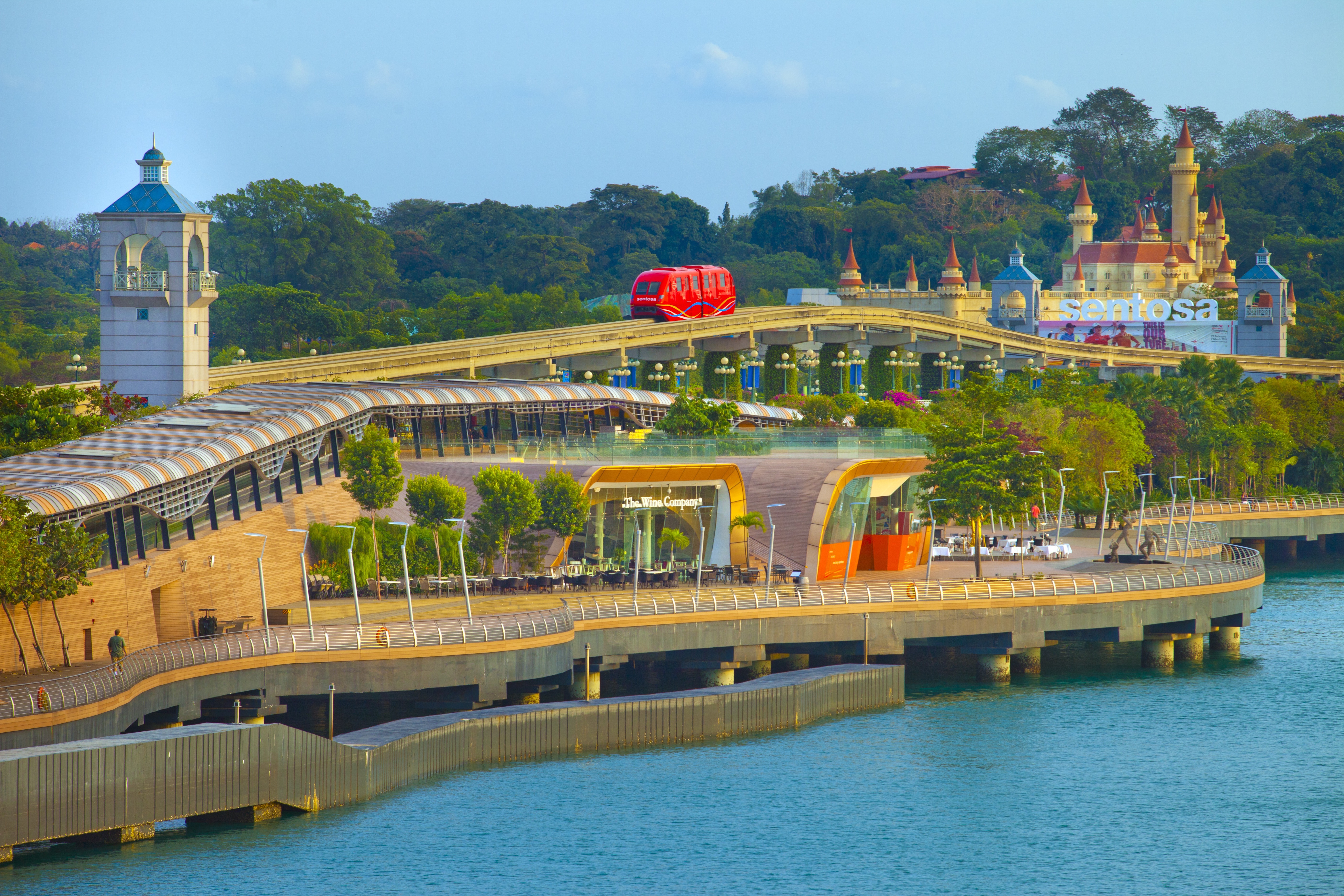
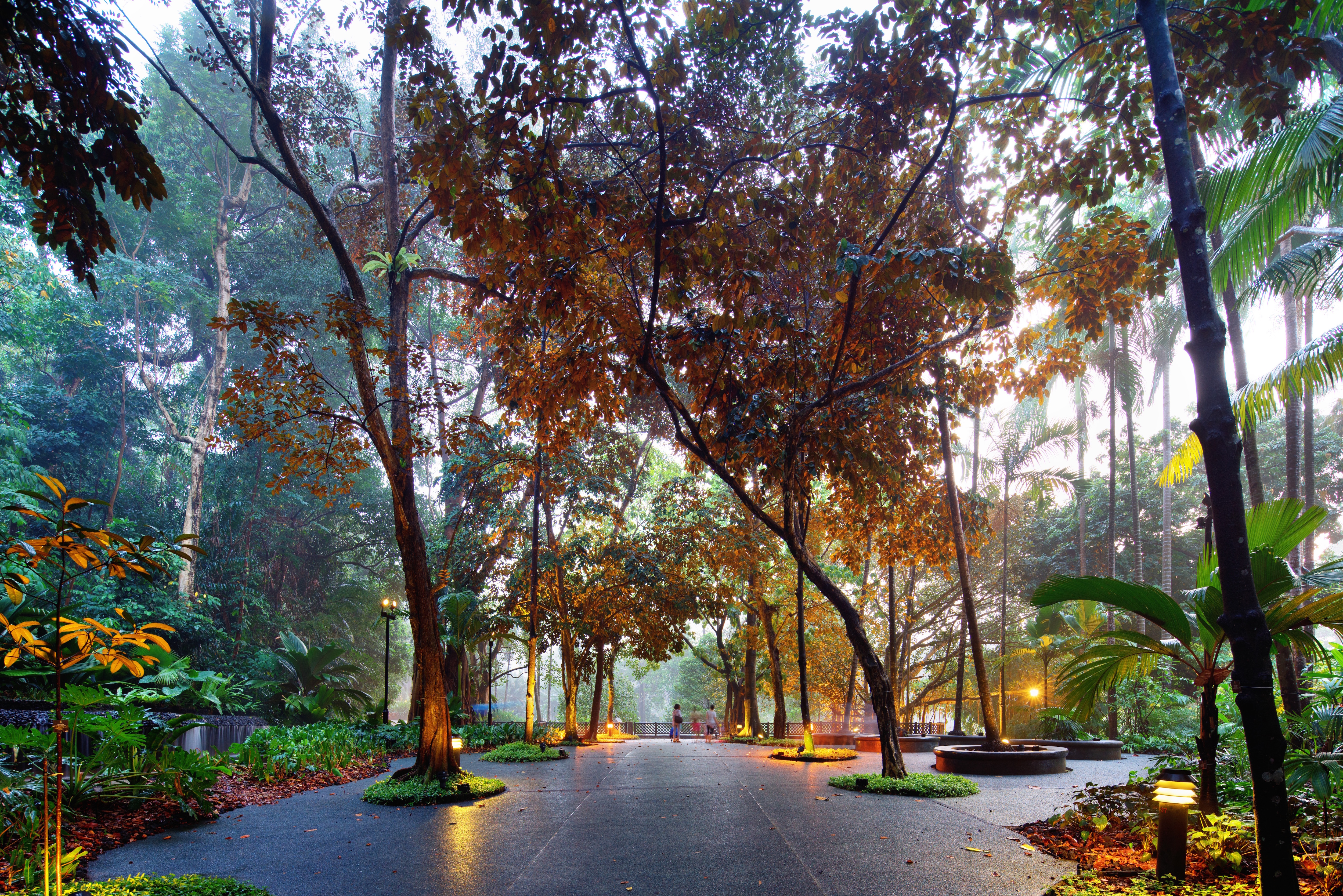
The main island of Singapore is shaped like a flattened diamond, 42 km (26 miles) east to west and 23 km (14 miles) north to south. Near the northern peak is the causeway leading to West Malaysia—Kuala Lumpur is less than four hours away by car. It is at the southern foot where you will find most of the city-state’s action, with its gleaming office towers, working docks, and futuristic "supertrees," which are solar-powered and serve as vertical gardens. Offshore are Sentosa and over 60 smaller islands, most uninhabited, that serve as bases for oil refining or as playgrounds and beach escapes from the city. To the east is Changi International Airport, connected to the city by metro, bus, and a tree-lined parkway. Of the island's total land area, more than half is built up, with the balance made up of parkland, farmland, plantations, swamp areas, and rain forest. Well-paved roads connect all parts of the island, and Singapore city has an excellent, and constantly expanding, public transportation system. The heart of Singapore's history and its modern wealth are in and around the Central Business District. The area includes the skyscrapers in the Central Business District, the 19th-century Raffles Hotel, the convention centers of Marina Square, on up to the top of Ft. Canning. Although most of old Singapore has been knocked down to make way for the modern city, most colonial landmarks have been preserved in the CBD, including early-19th-century buildings designed by the Irish architect George Coleman.
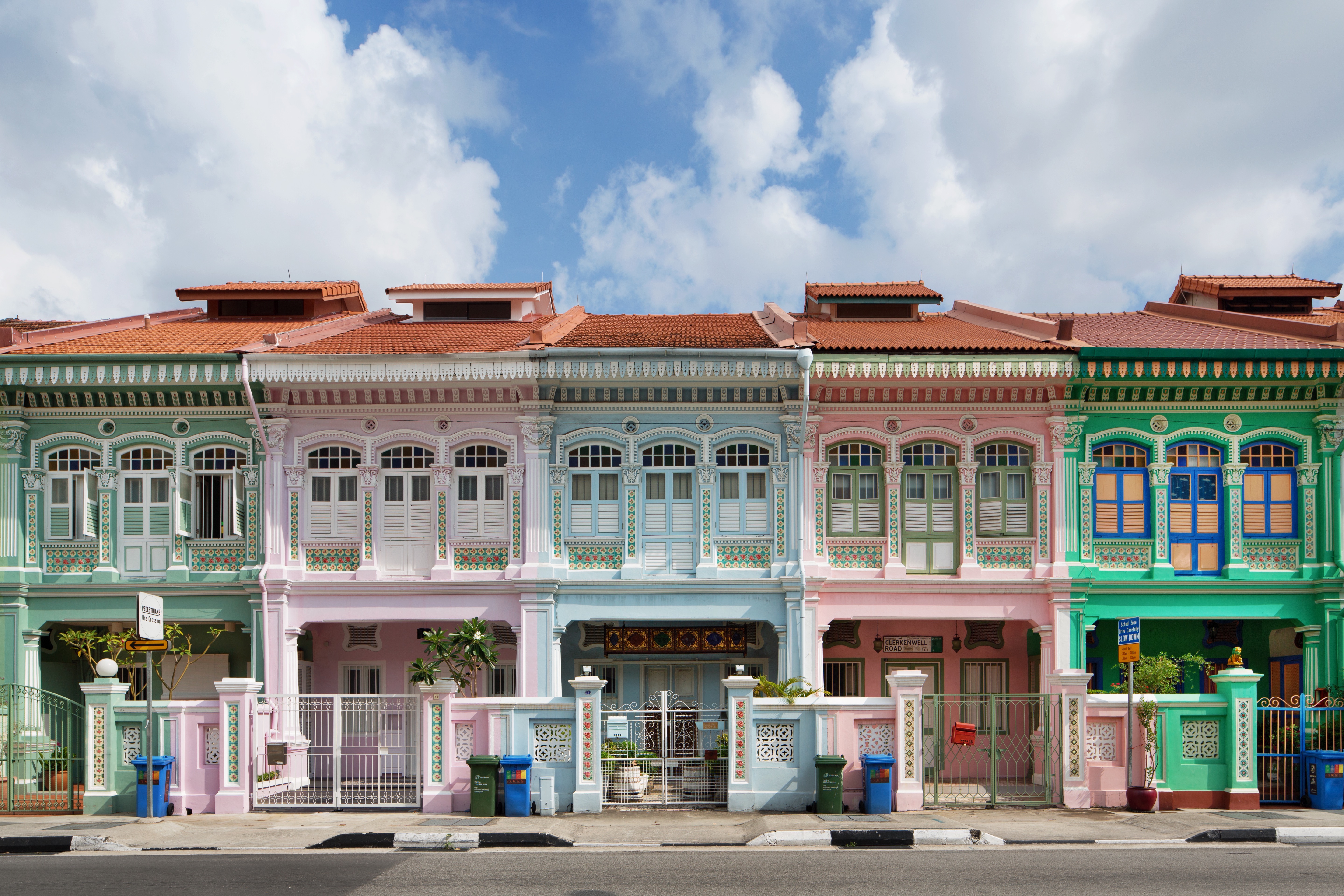
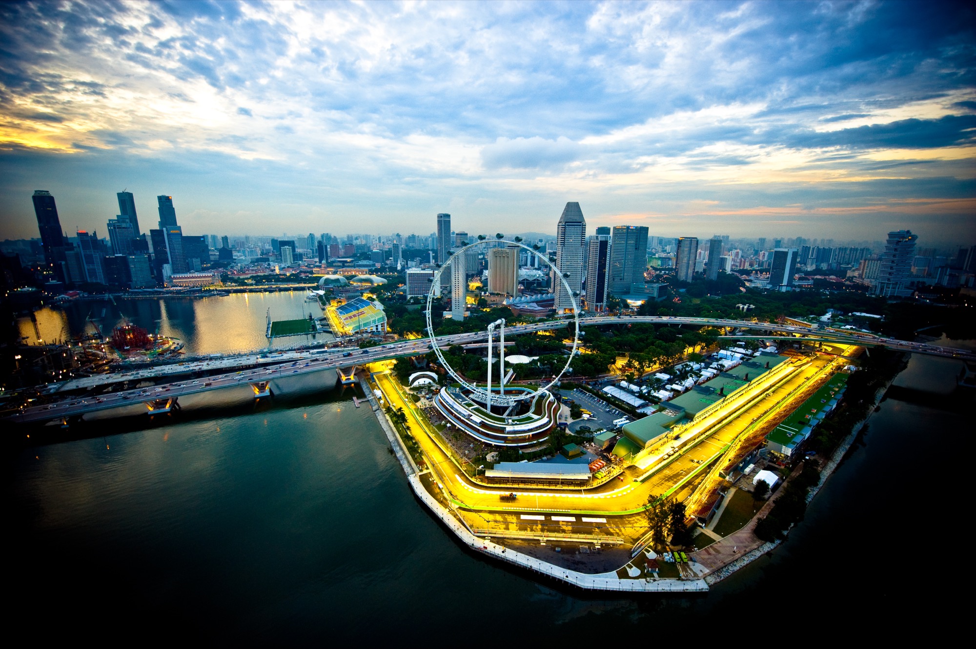
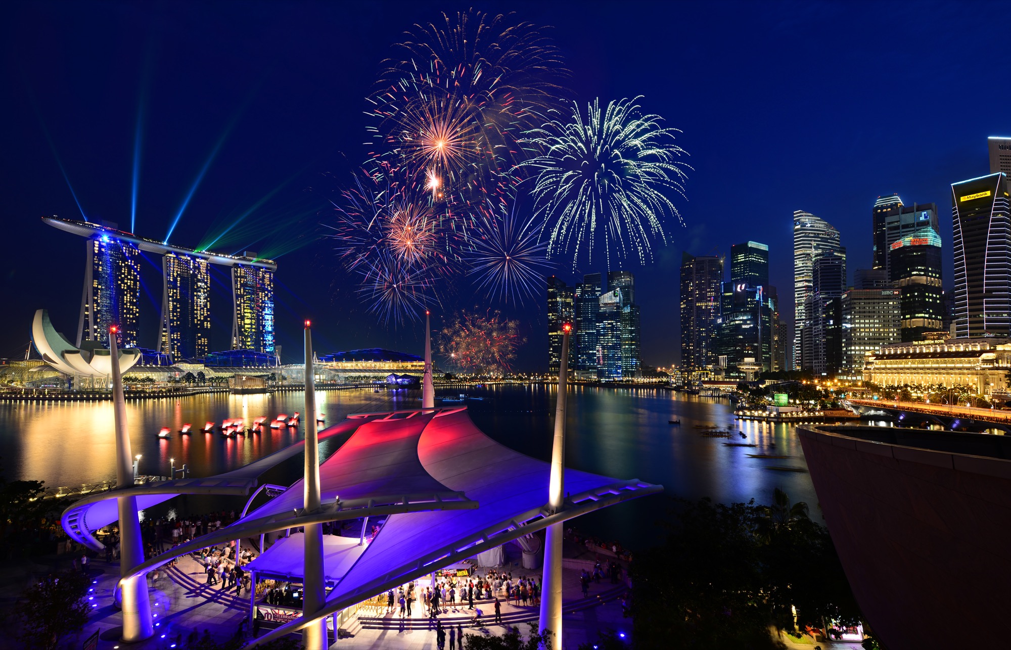
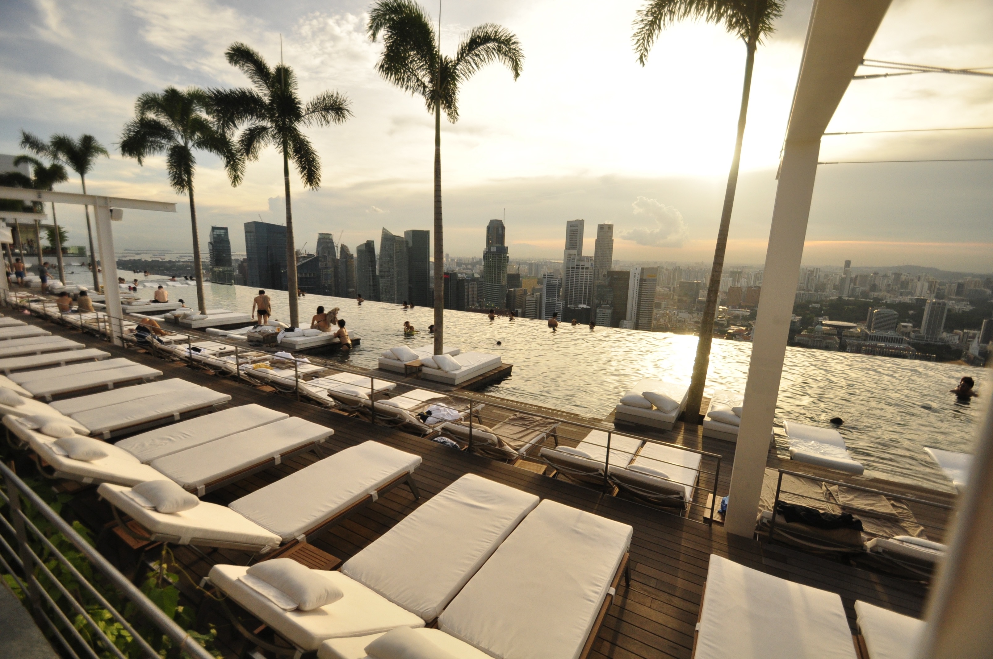
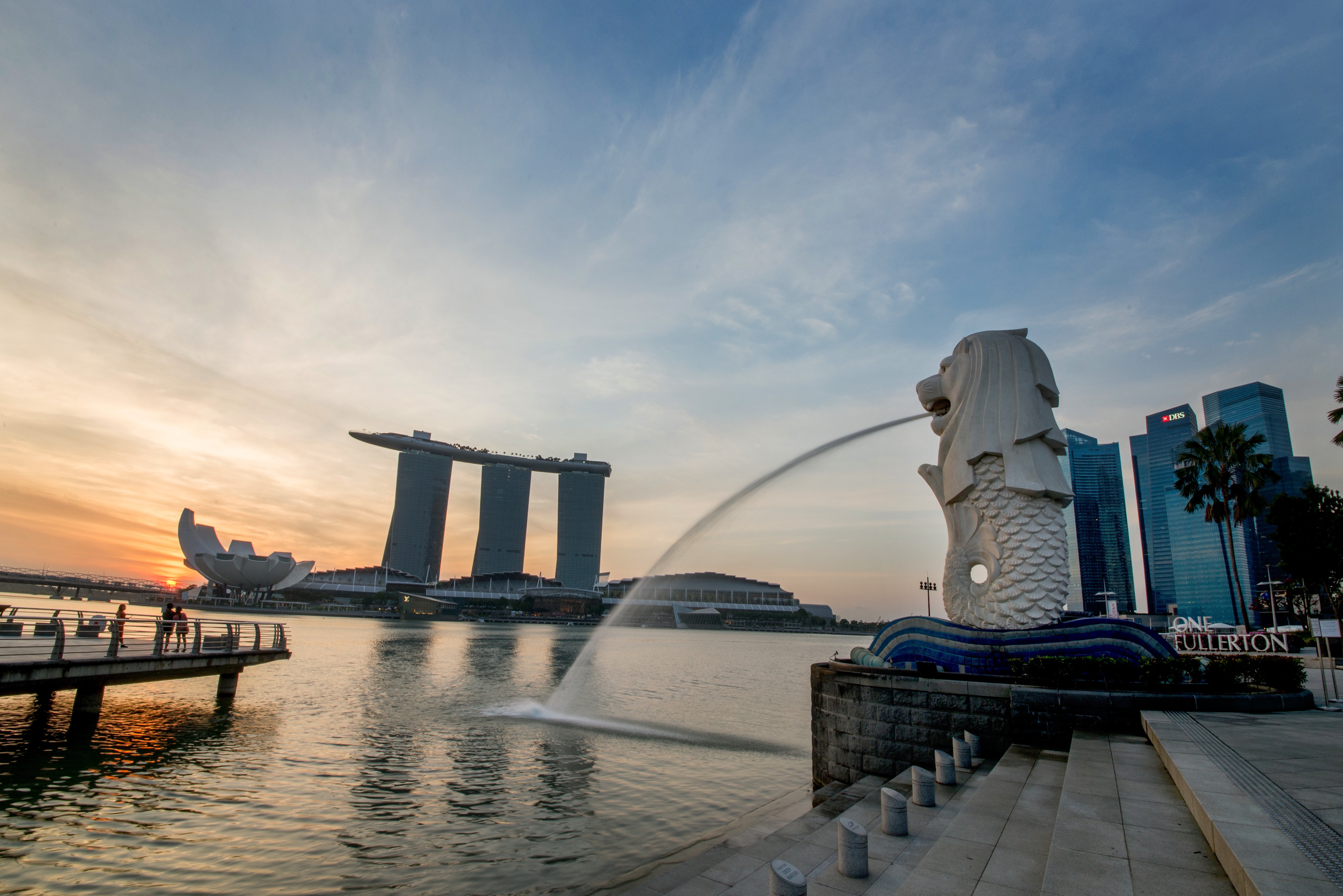
About Kuala Lumpur
About Kuala Lumpur
About Pangkor Laut Island
About Langkawi Island
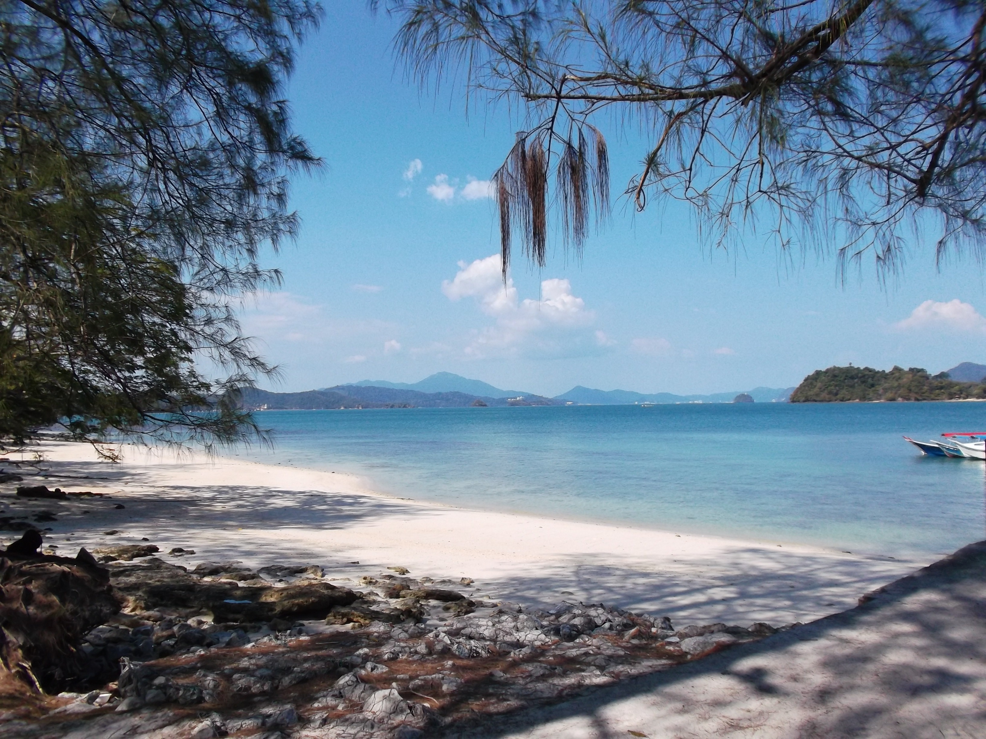
On Malaysia's west coast, Langkawi is an archipelago made up of 99 islands. The only real settlement is on the main island, Pulau Langkawi. This popular beach destination attracts divers from around the world to explore the sea life, and after being declared a duty-free zone back in the '80s, it has become a favorite shopping spot for visitors seeking cheap booze. You'll find sightseeing attractions—such as national parks, a cable car ride, and a large aquarium—throughout this island of lush rainforests. However, it's the long stretches of sandy beach that attract most visitors to this tropical paradise.
About Phuket
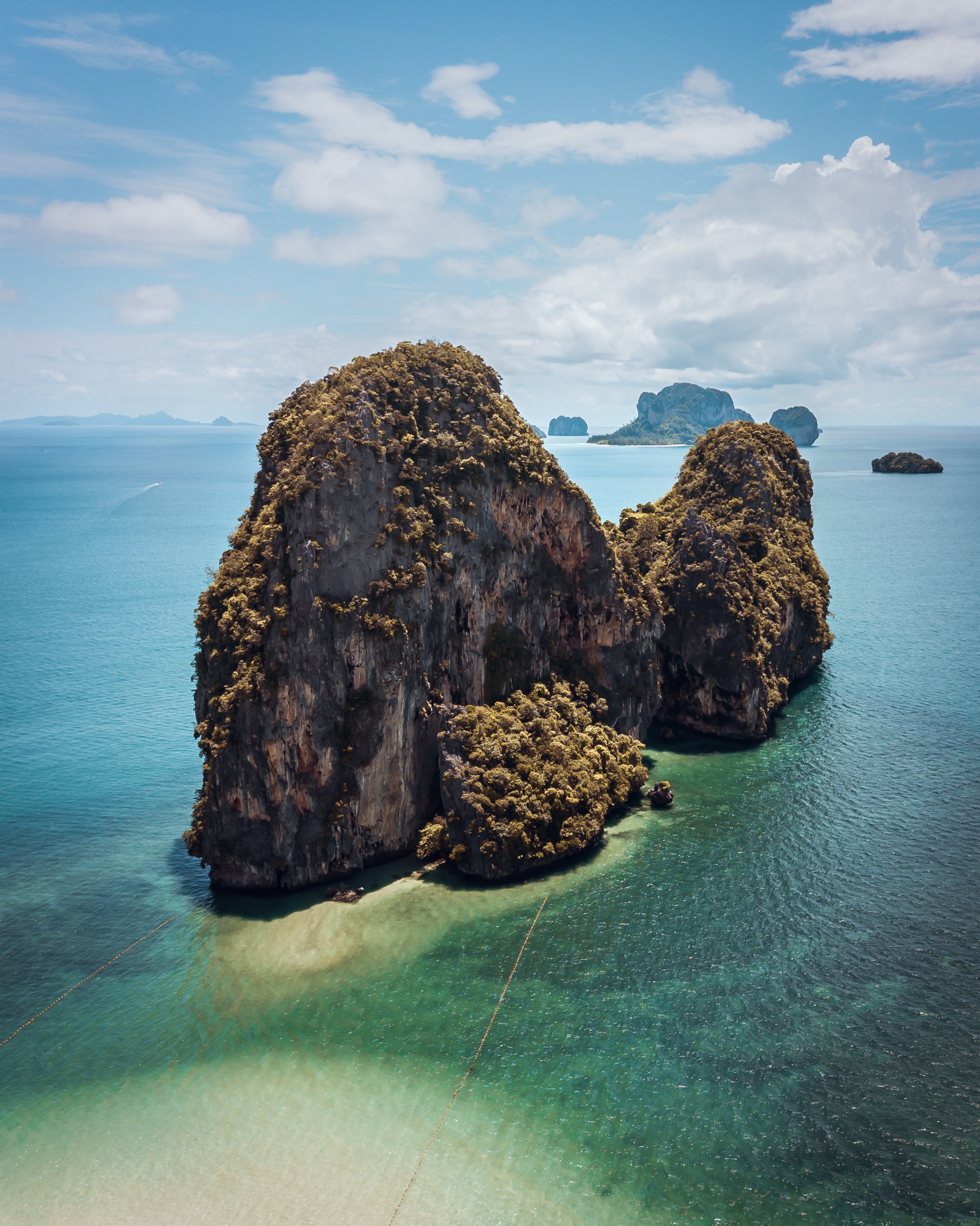
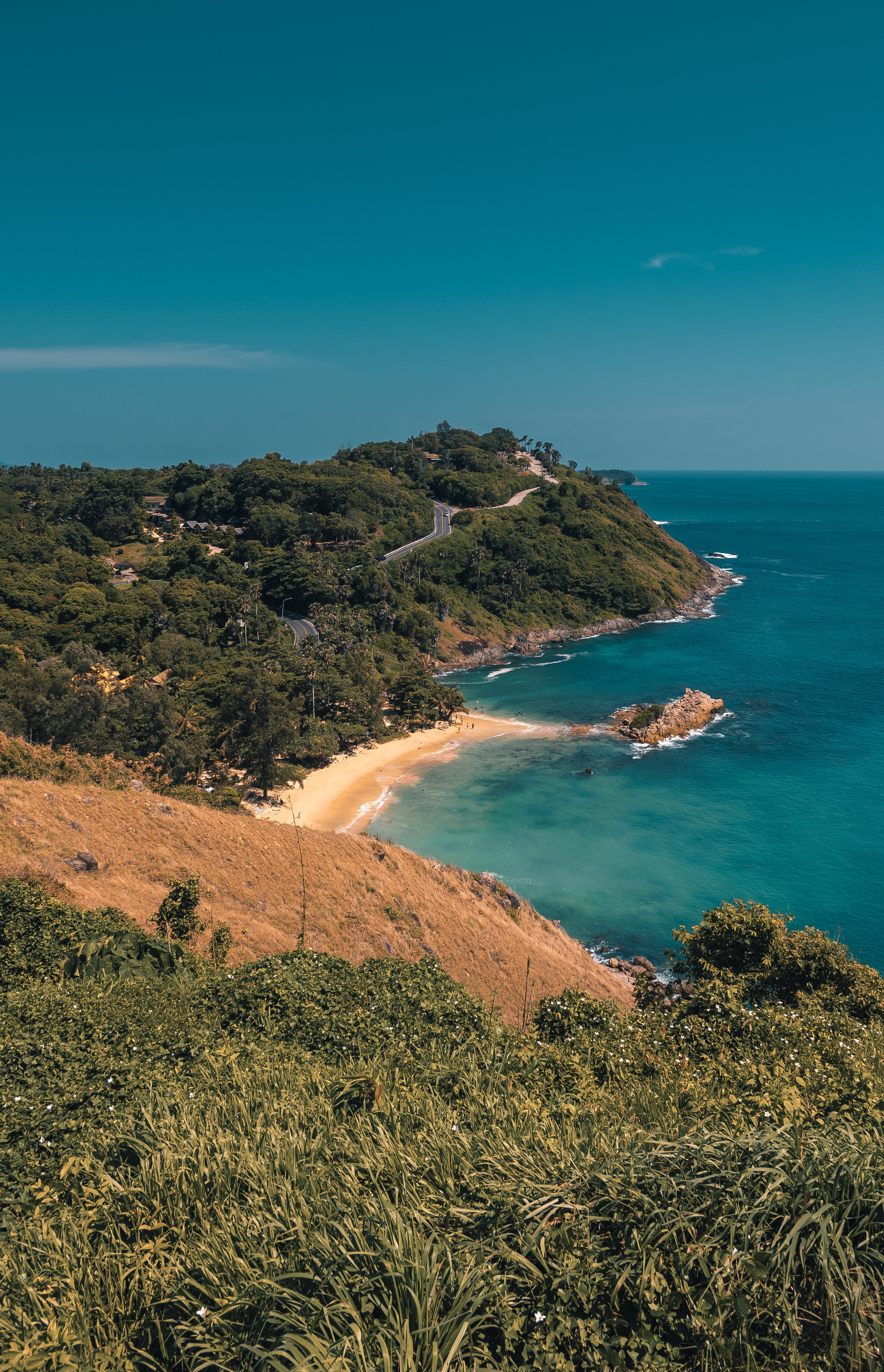
Though few tourists linger here, Phuket Town, the provincial capital, is one of the more culturally interesting places on the island to spend half a day. About one-third of the island's population lives here, and the town is an intriguing mix of old Sino-Portuguese architecture and the influences of the Chinese, Muslims, and Thais that inhabit it. The old Chinese quarter along Talang Street is especially good for a stroll, as its history has not yet been replaced by modern concrete and tile. And this same area has a variety of antiques shops, art studios, and trendy cafés. Besides Talang, the major thoroughfares are Ratsada, Phuket, and Ranong roads. Ratsada connects Phuket Road (where you'll find the Tourism Authority of Thailand office) to Ranong Road, where there's an aromatic local market filled with fruits, vegetables, spices, and meats.
About Sabang
About Galle
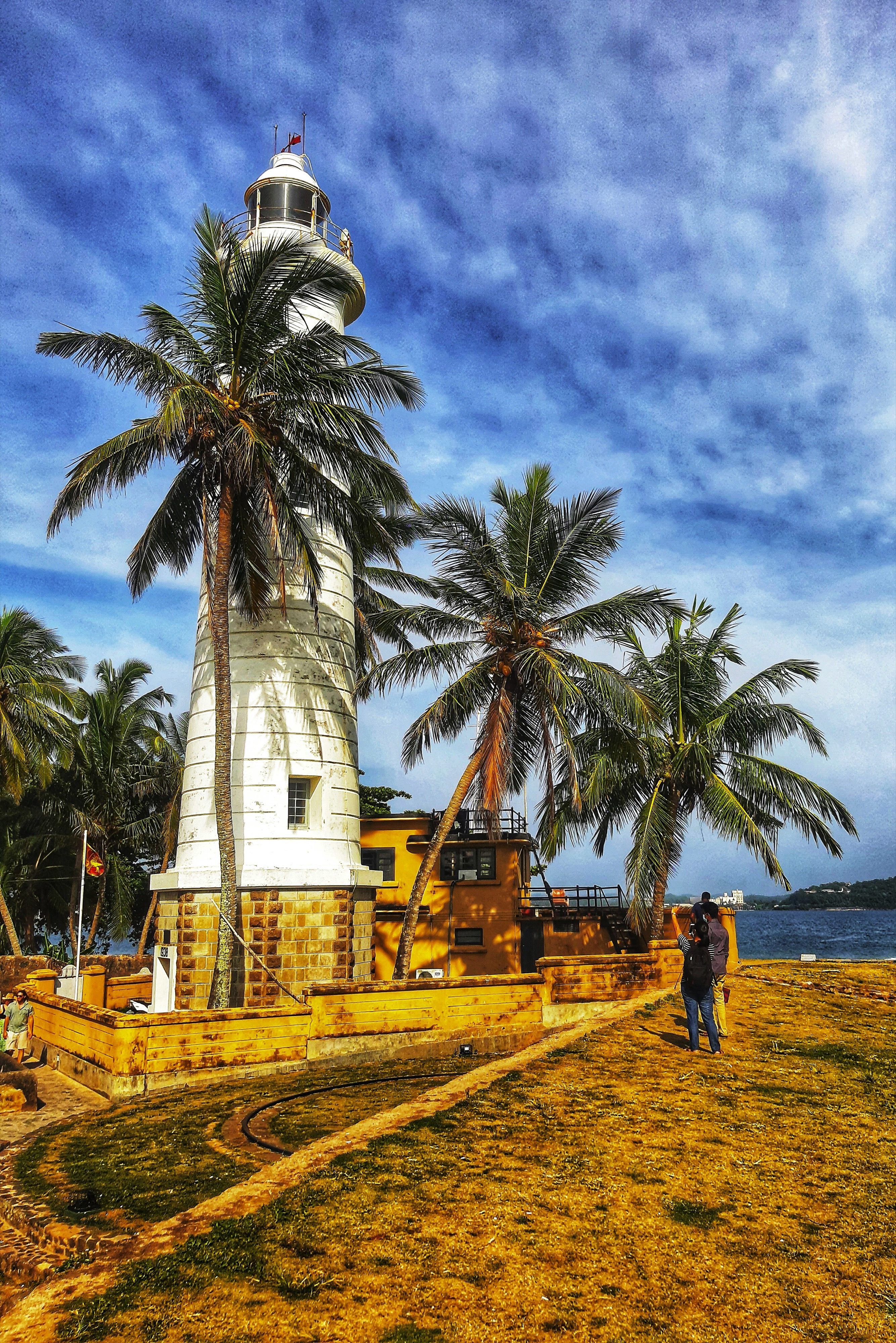
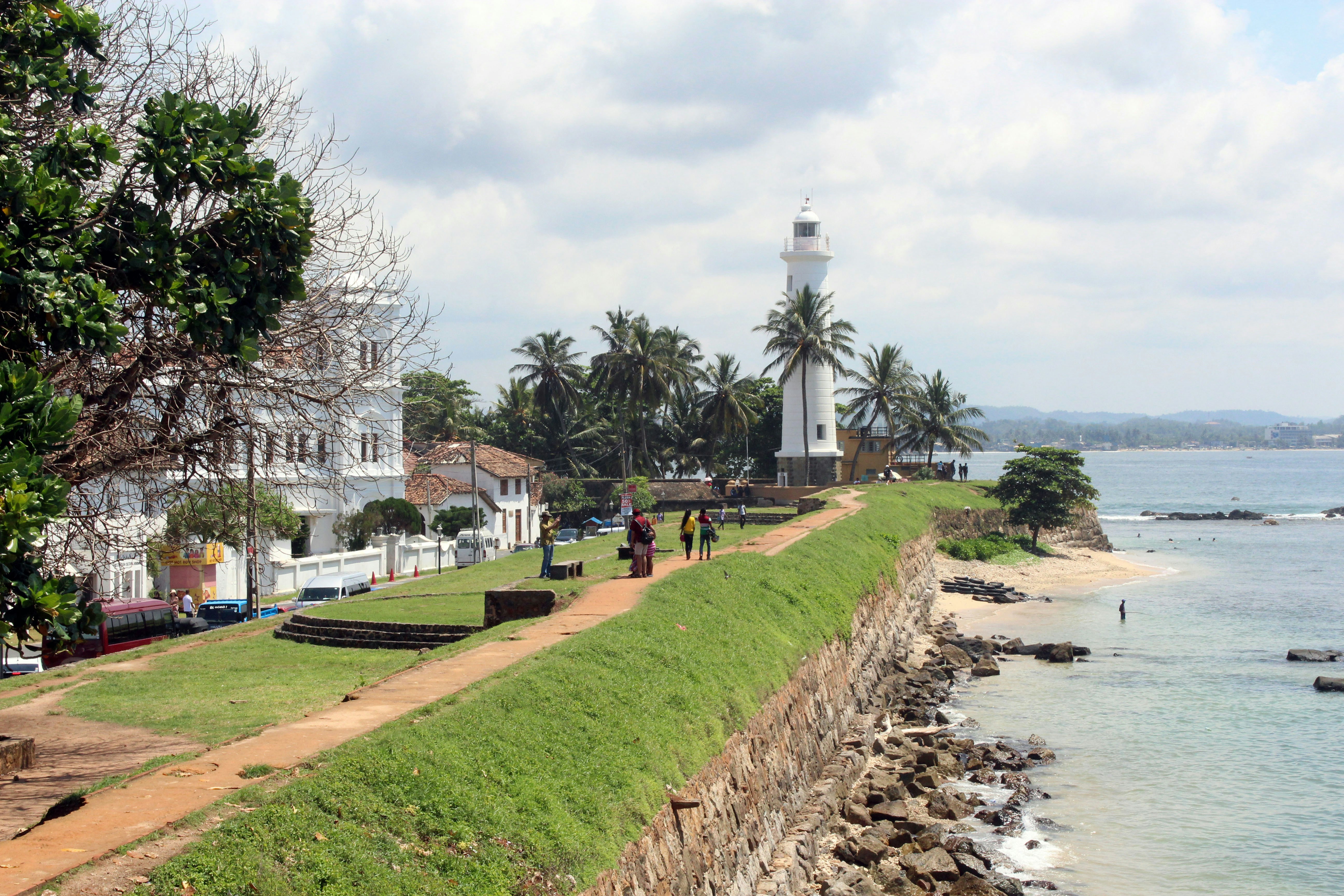
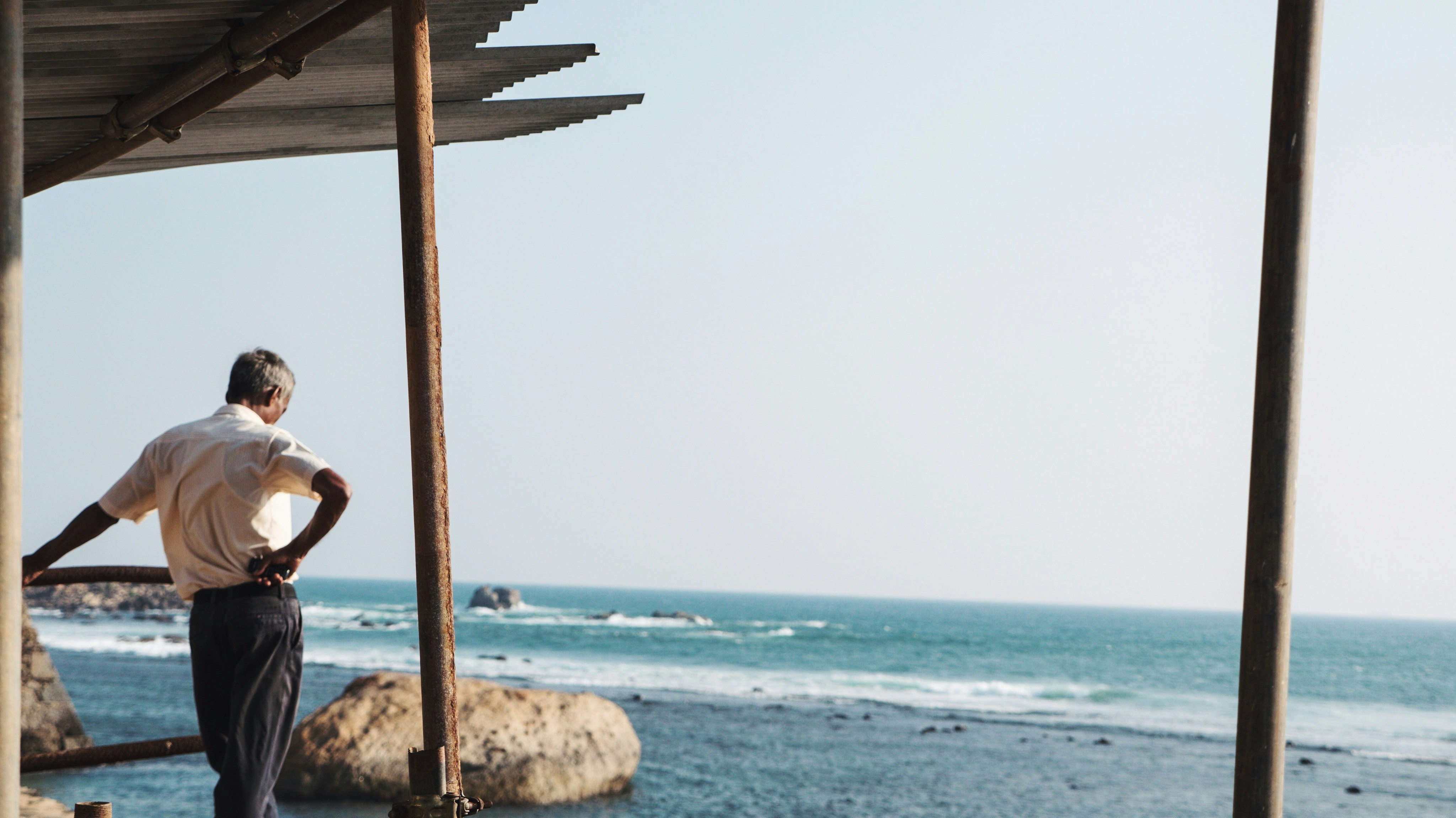
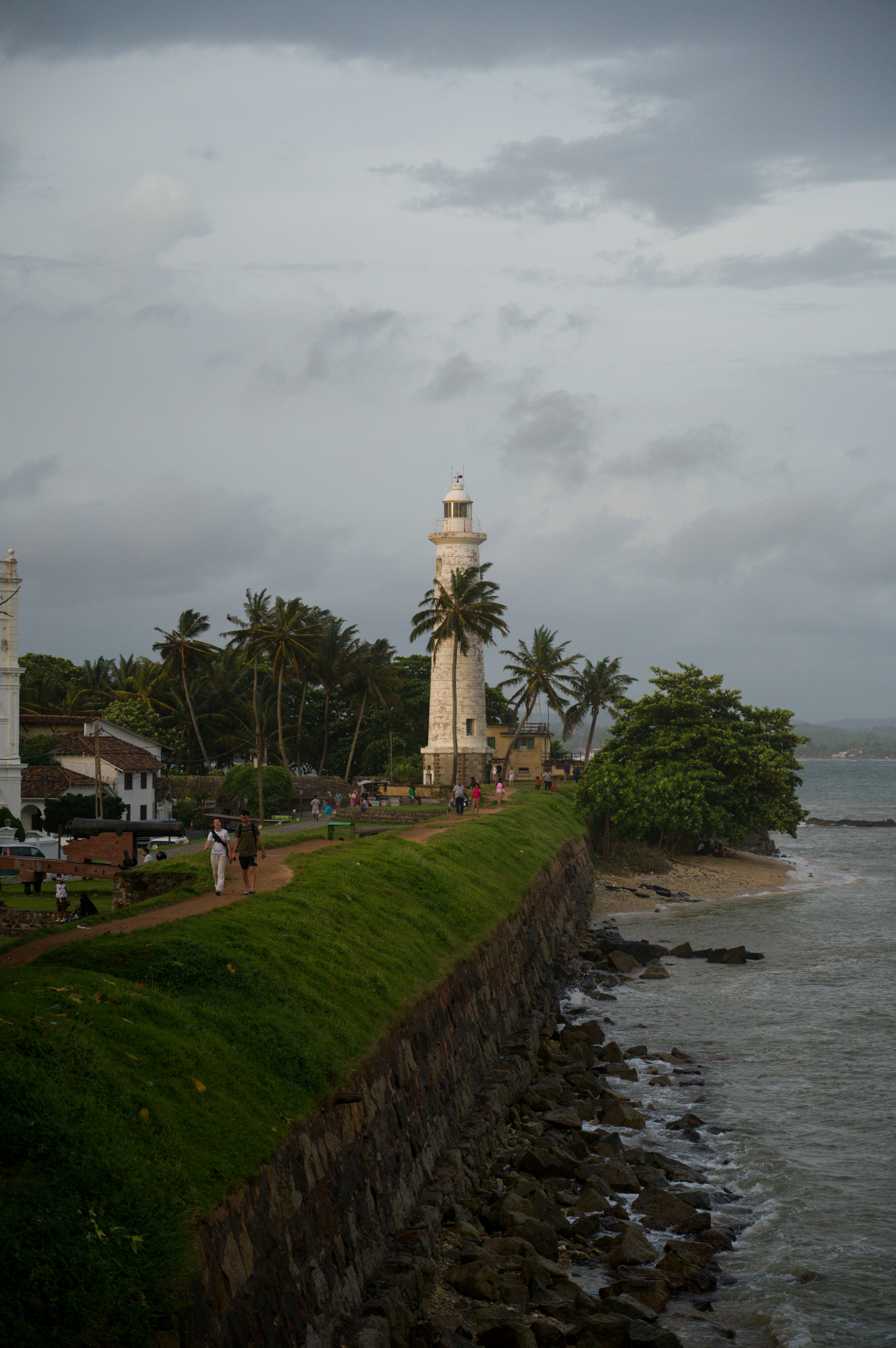
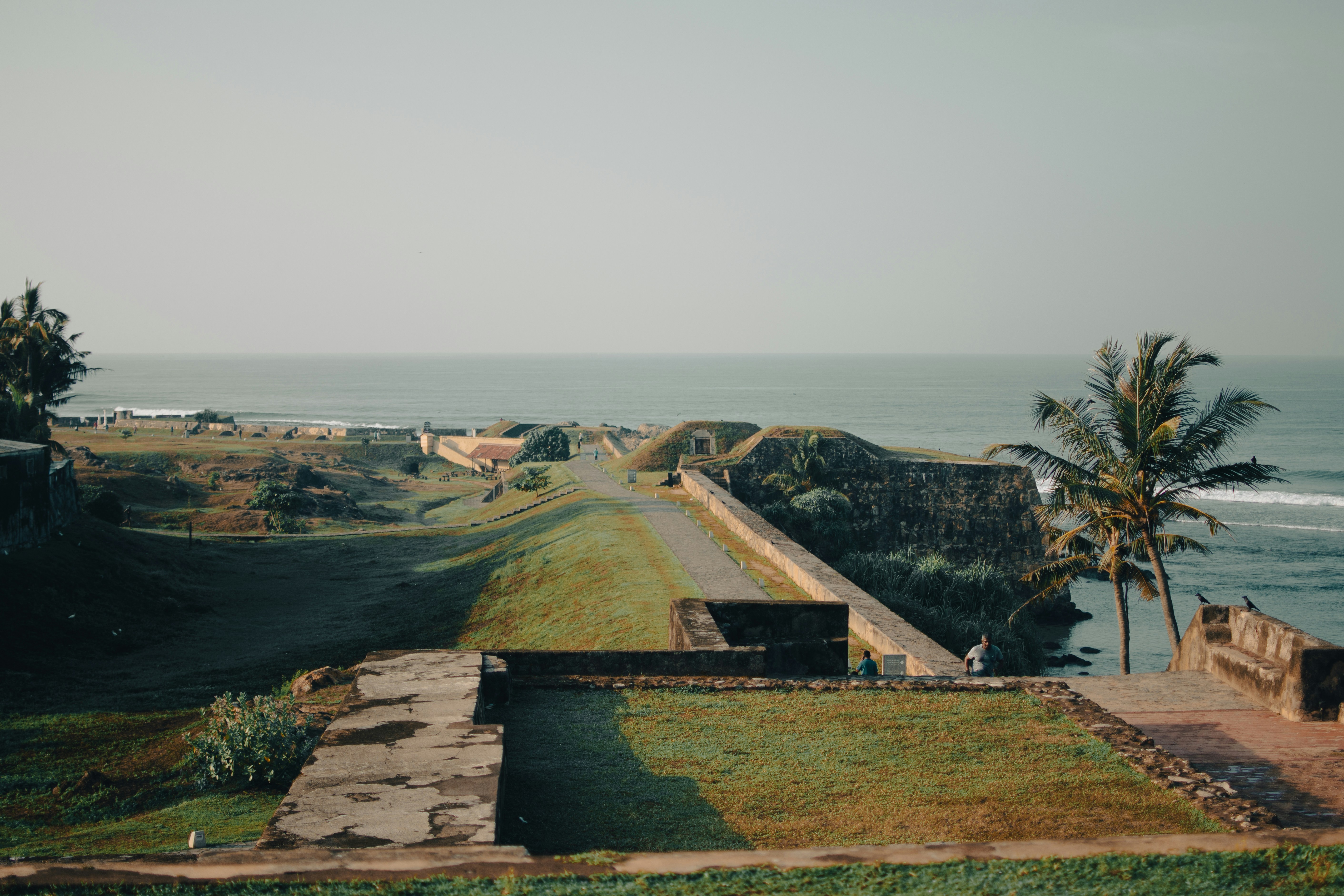
Galle is the administrative capital of the Southern Province in Sri Lanka. The city has a beautiful tropical setting with Dutch-colonial architecture. Explore the maritime museums, try some of the delicacies and explore the shops for souvenirs.
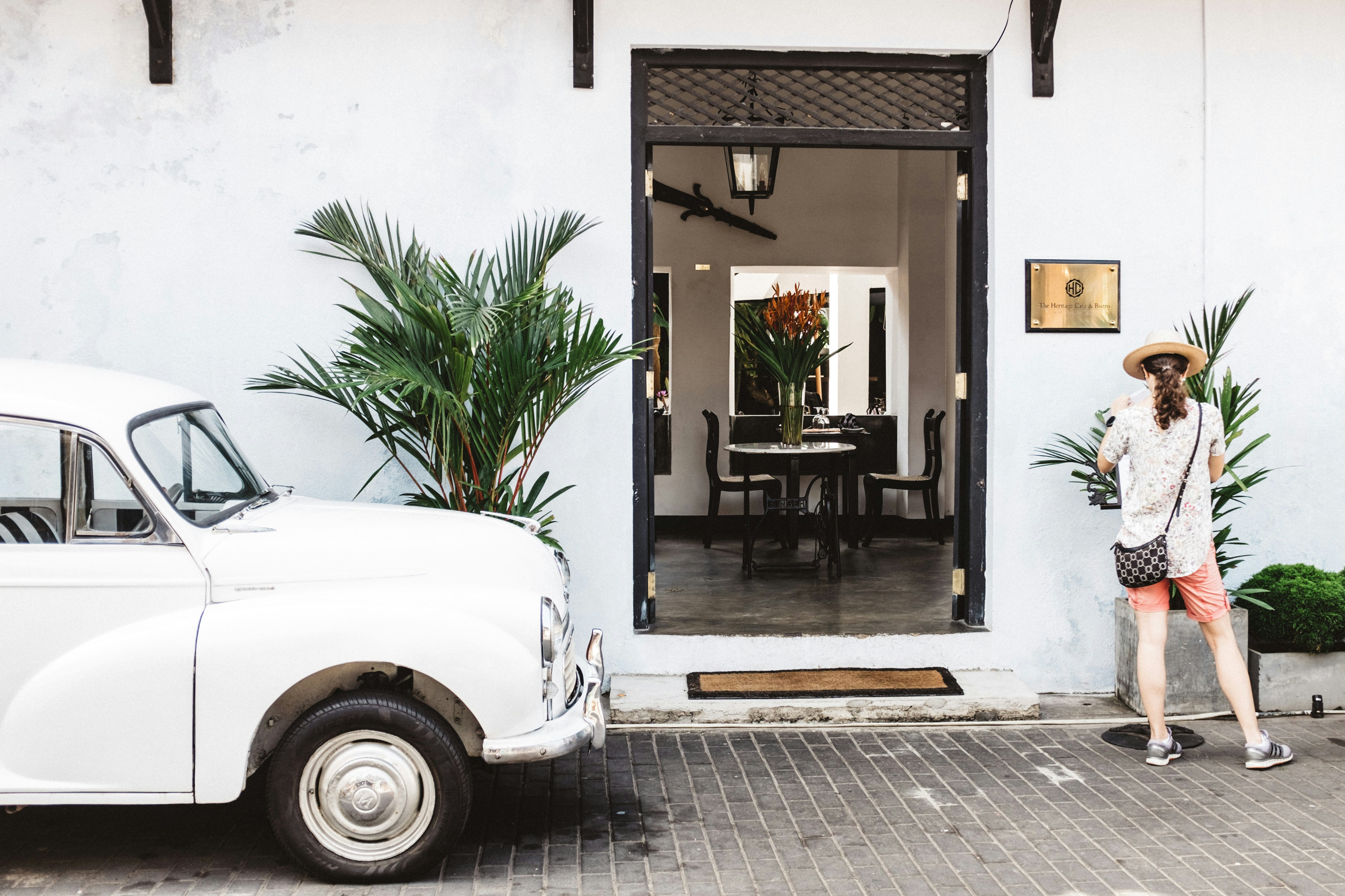
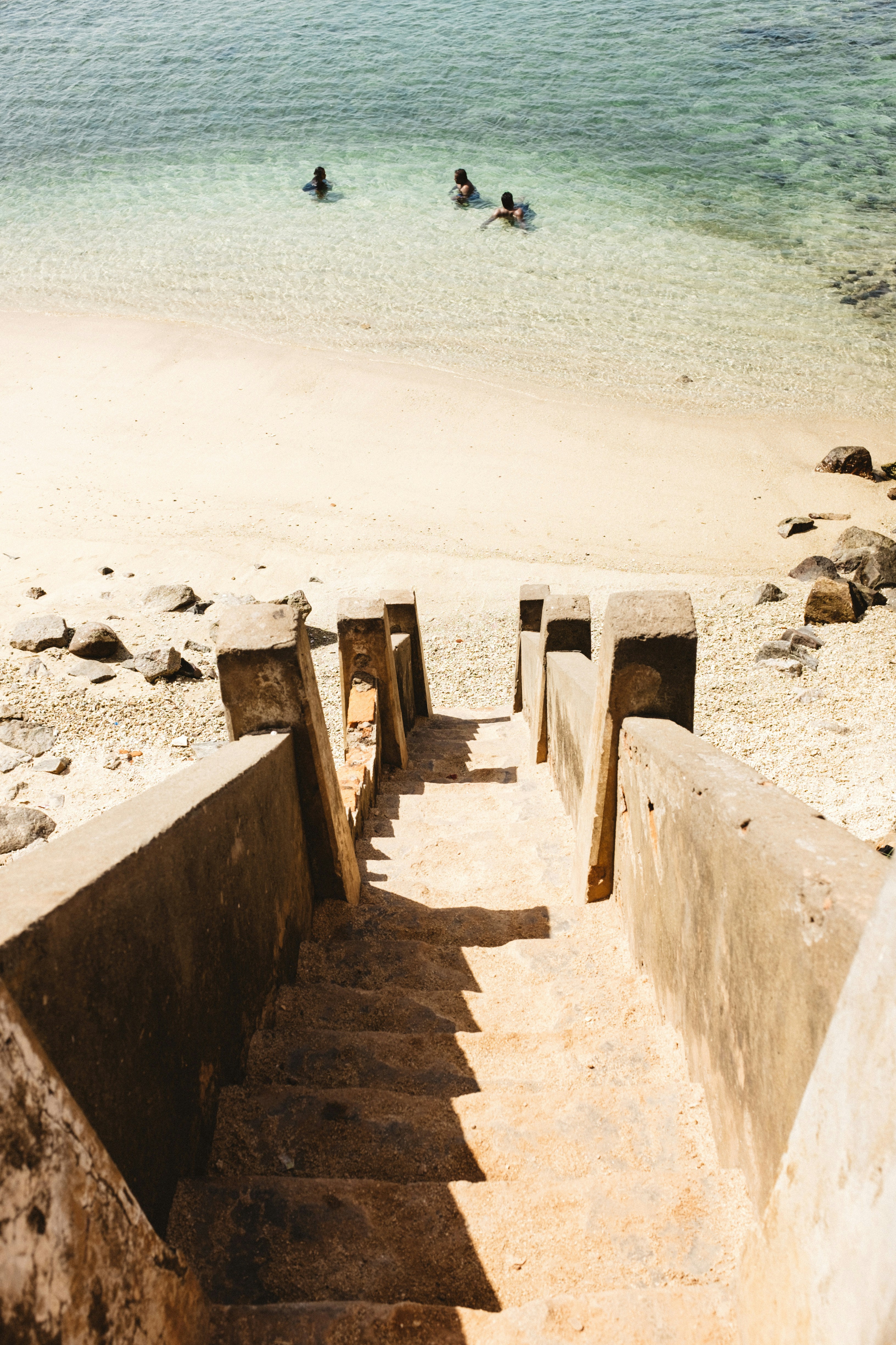
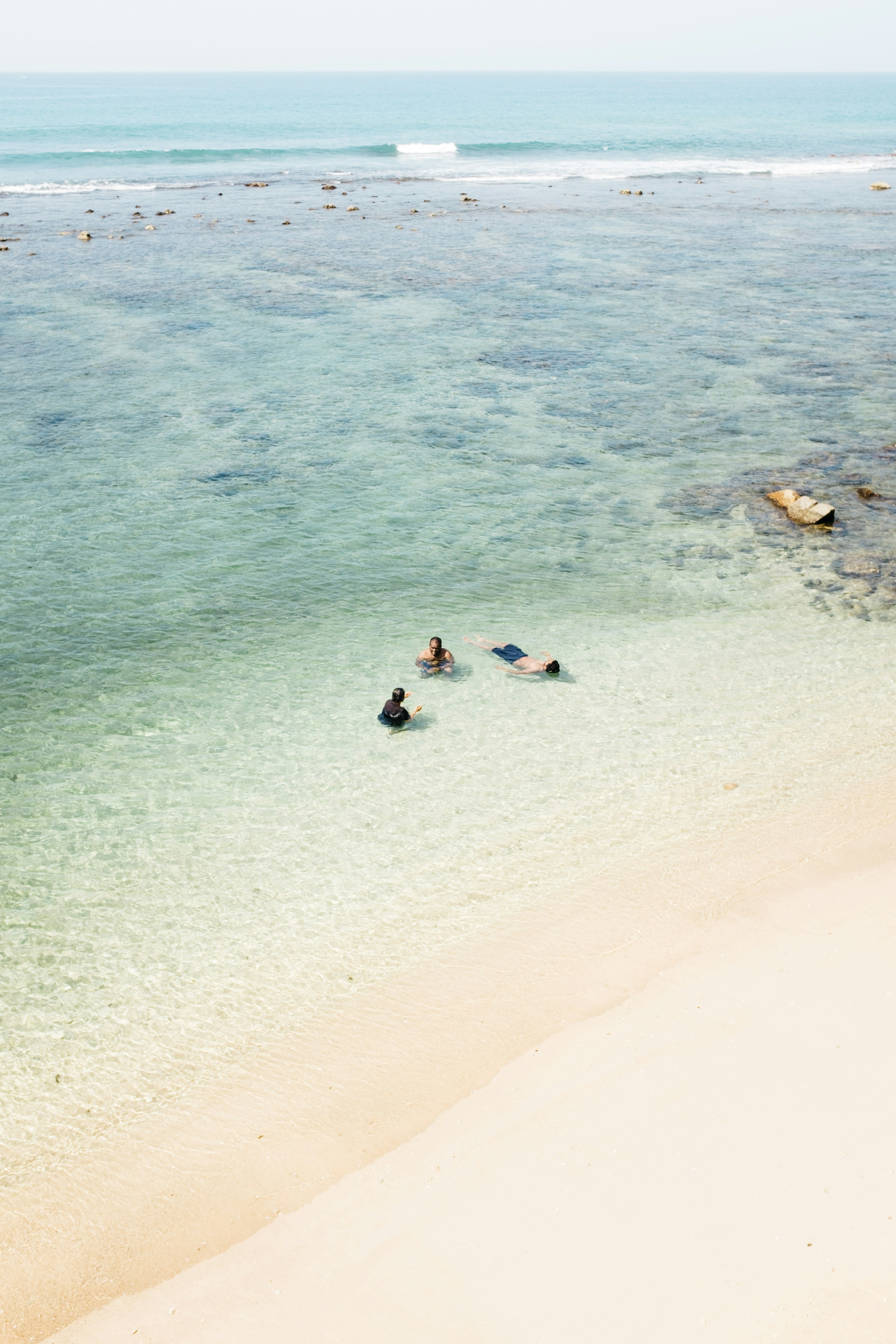
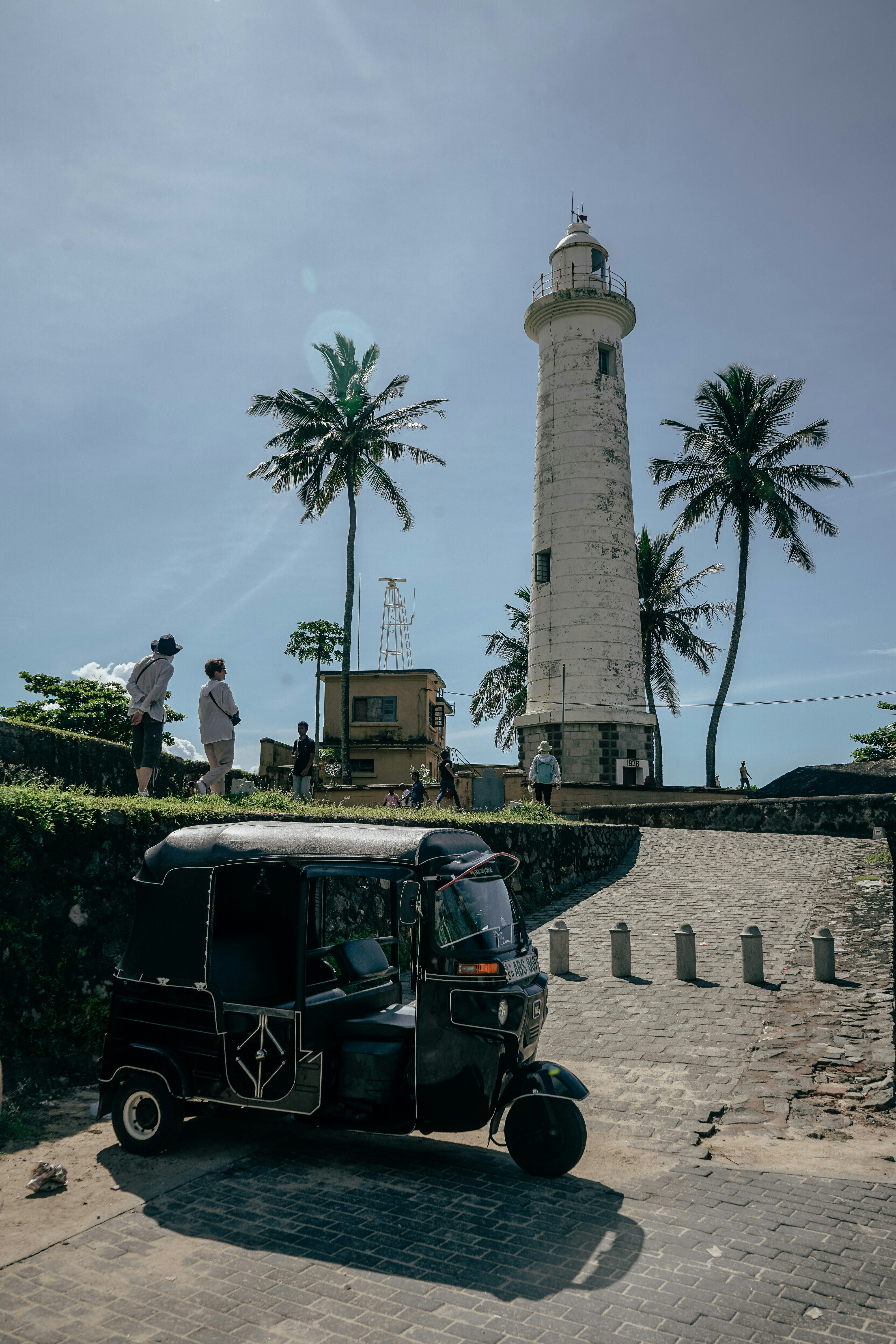
About Male
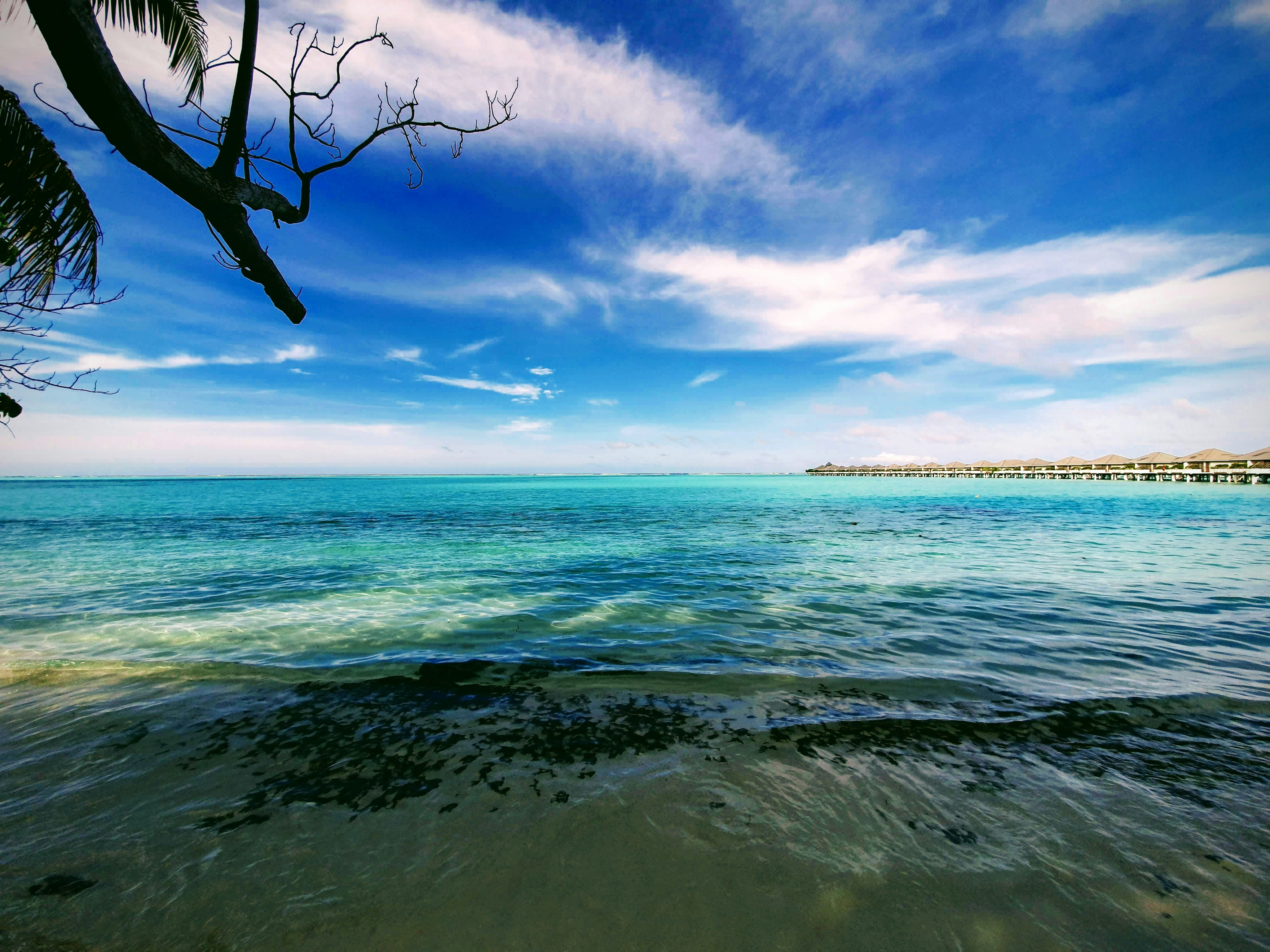
There are many nations around the world with bragging rights to miles of pristine white coral sand and balmy turquoise seas but few can take it to the same level as the Maldives. Its 1,200 islands are spread out over 26 coral atolls; the combined land of all the islands is little more than 100 square miles. That means you are rarely more than a few steps from the beach. Many of the villas are actually built on stilts out over the water, so you may actually have to walk onshore in order to get to the beach. Besides curling your toes in the sand, many people come here to sample the Maldives enviable world-class dive spots. Others simply snorkel among the endless coral reefs. There are so many coral atolls here that our English word derives from the Maldivian name atholhu.
About Baa Atoll
About Uligamu
About Agatti Island
About Goa
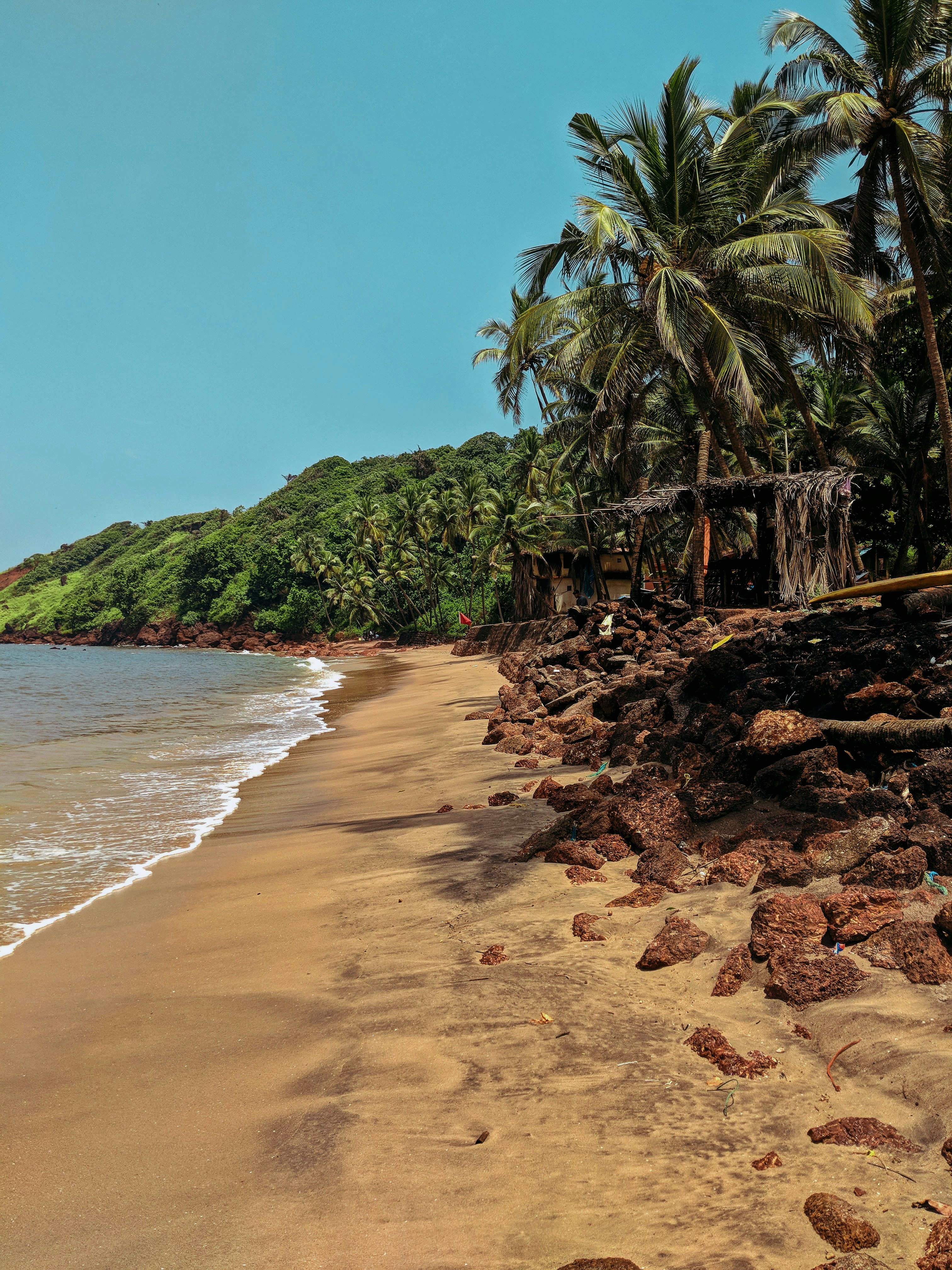
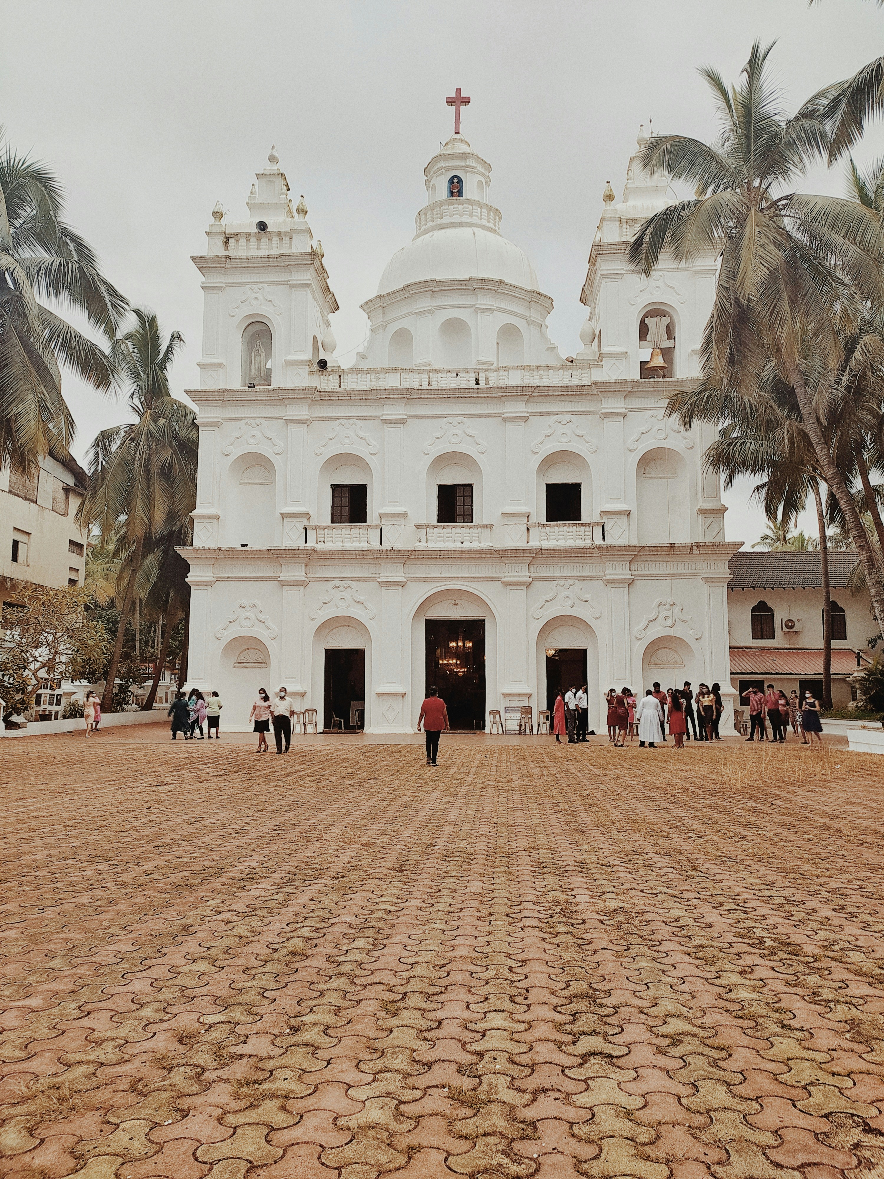
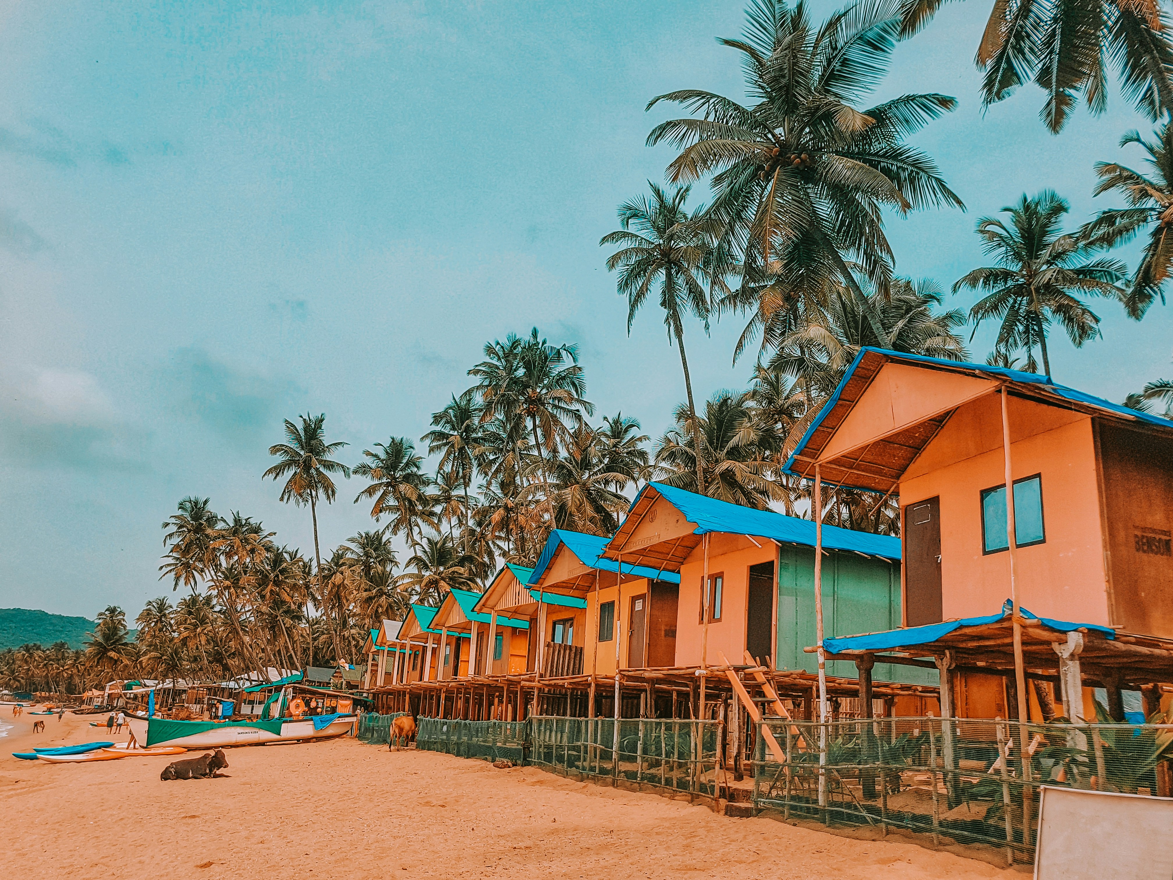
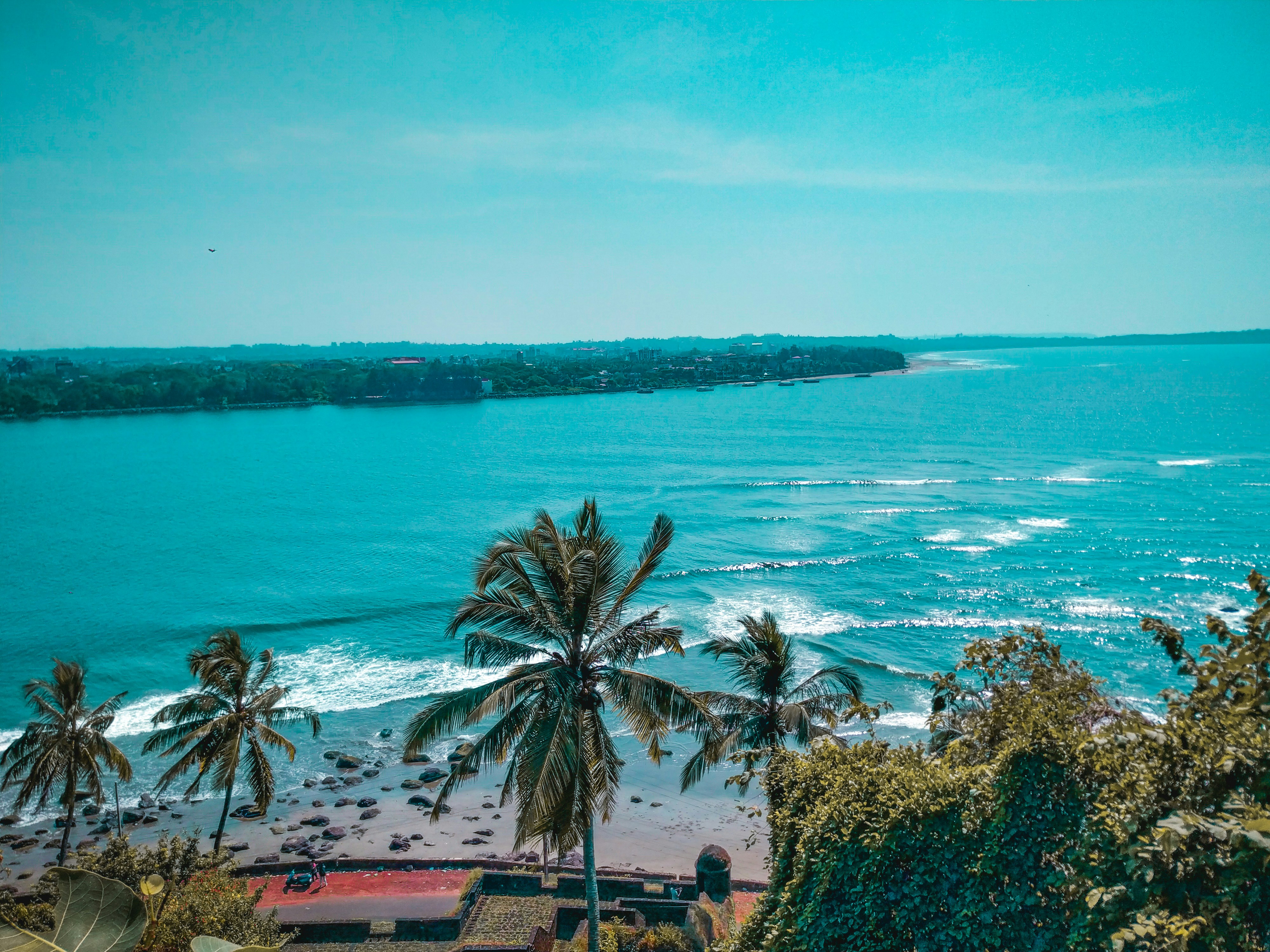
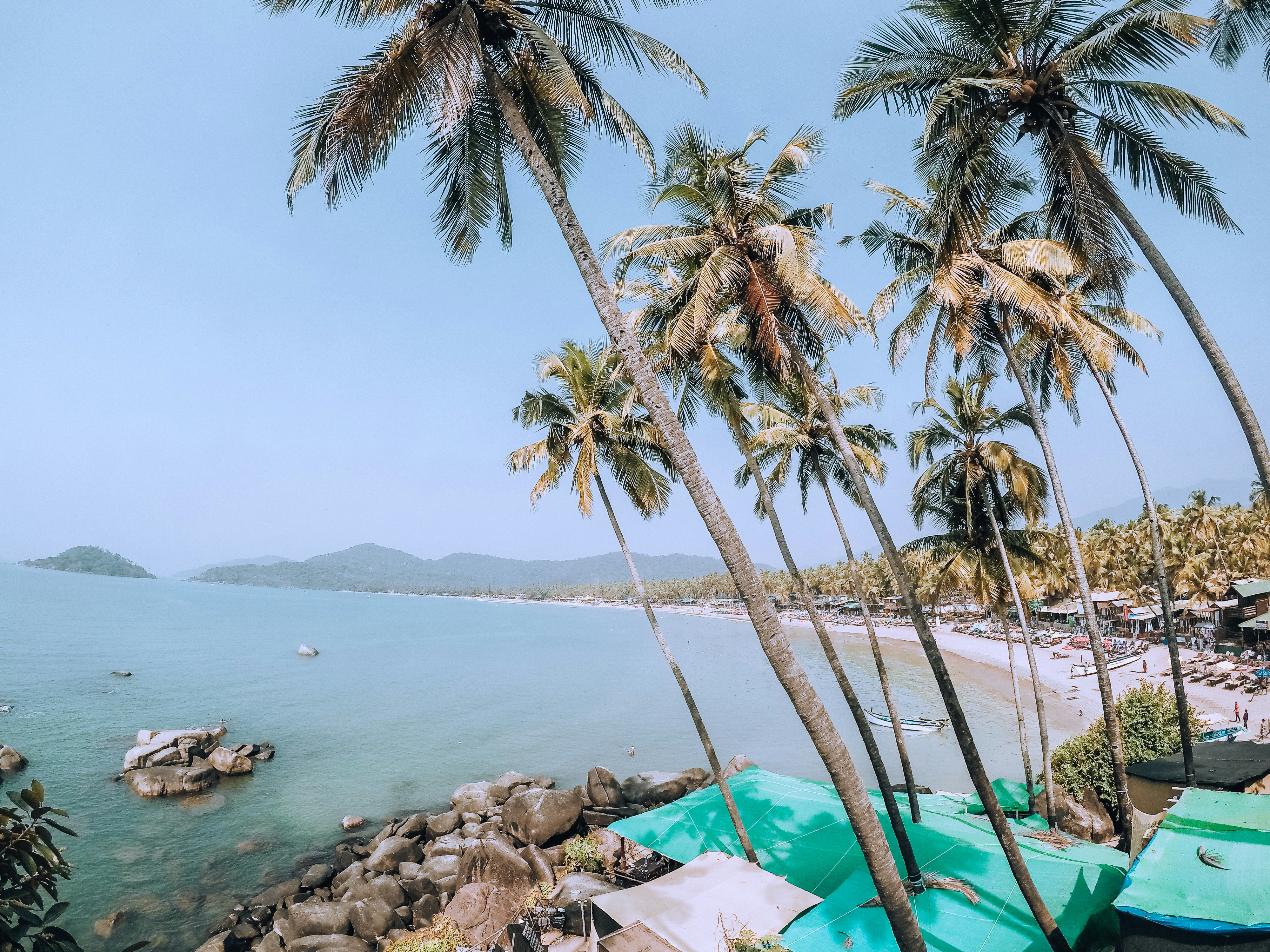
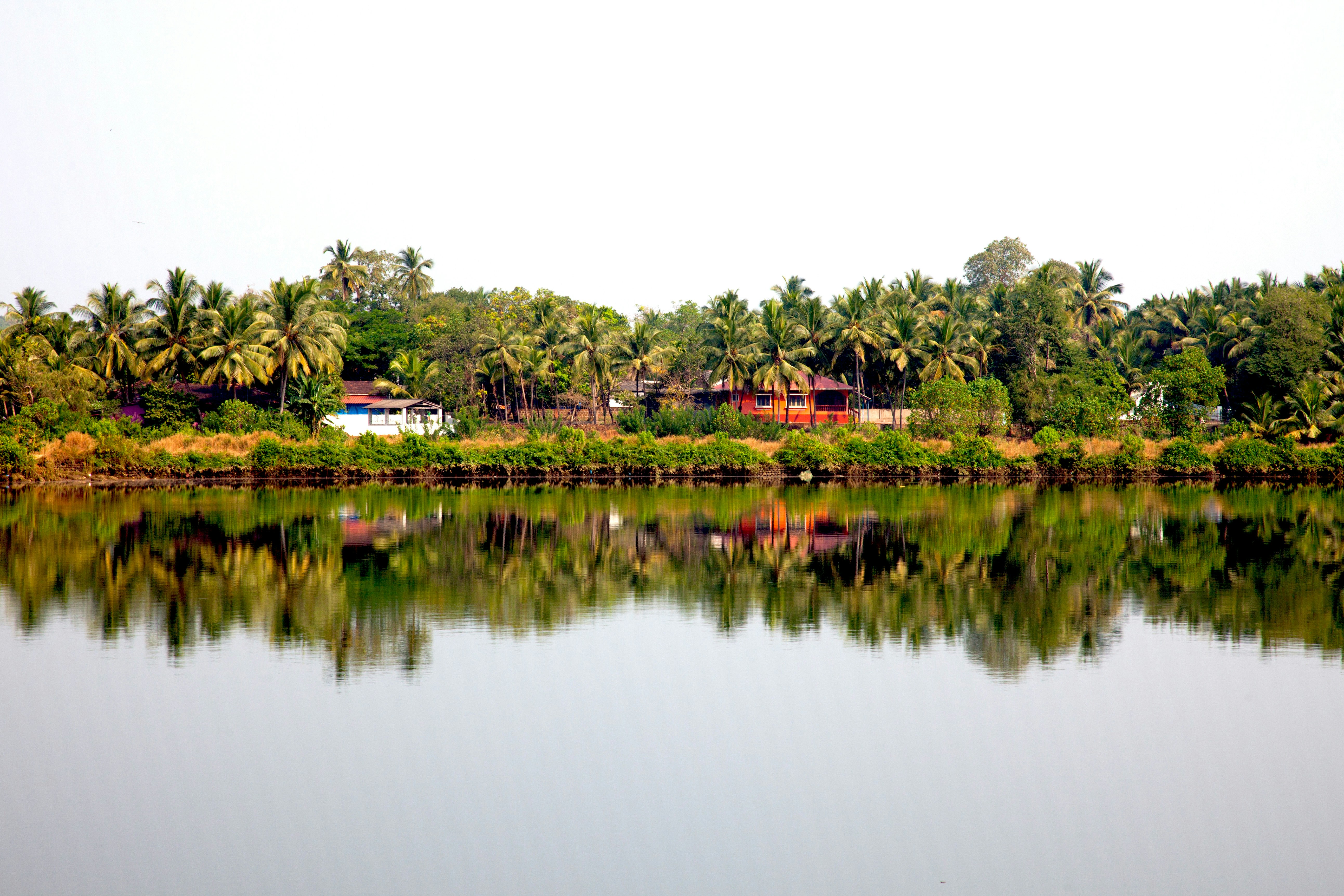
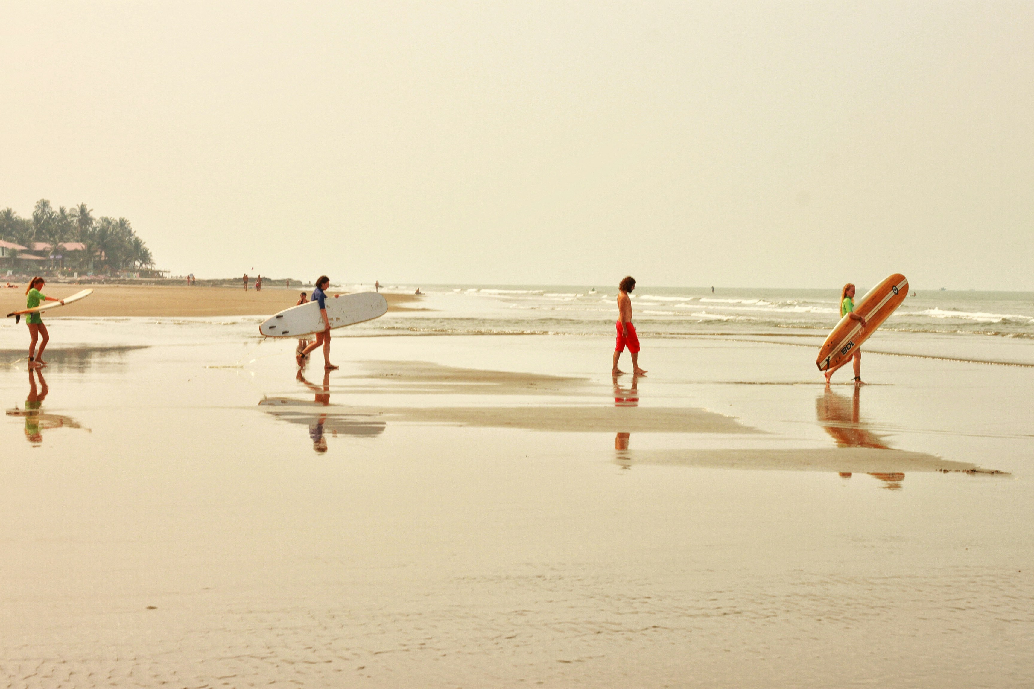
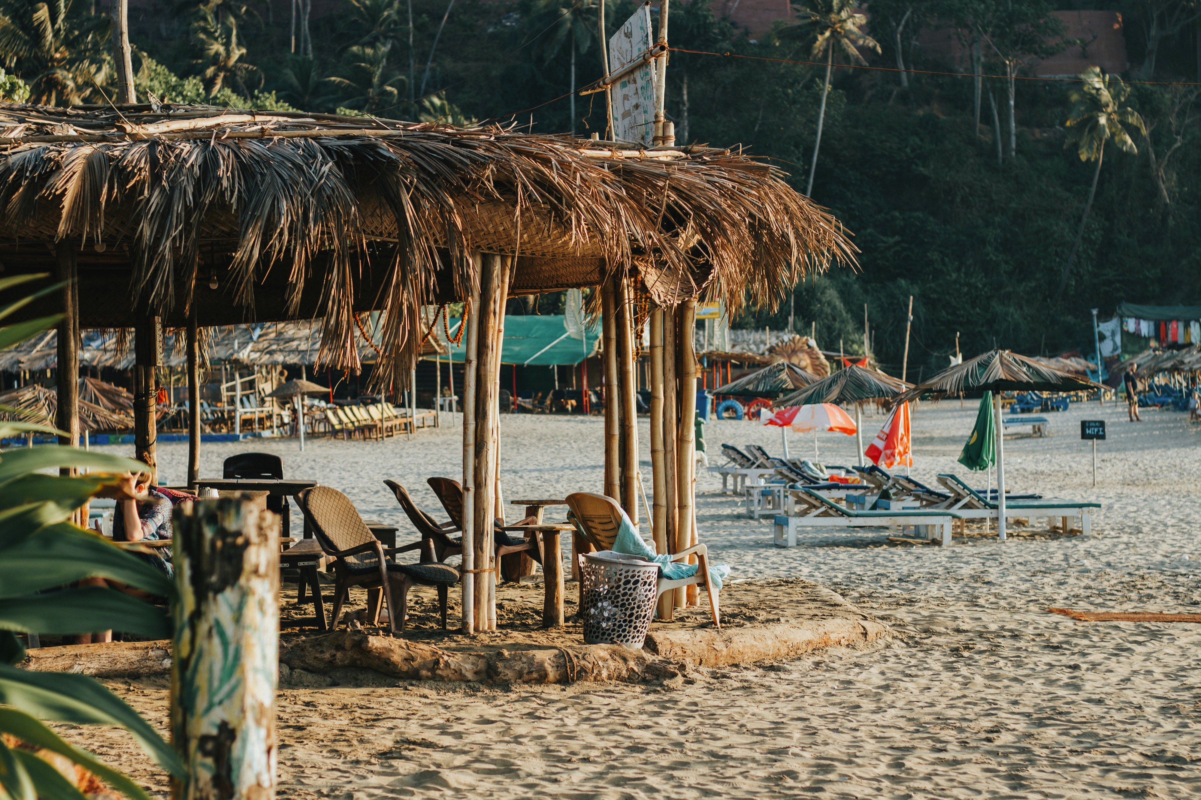
About Goa
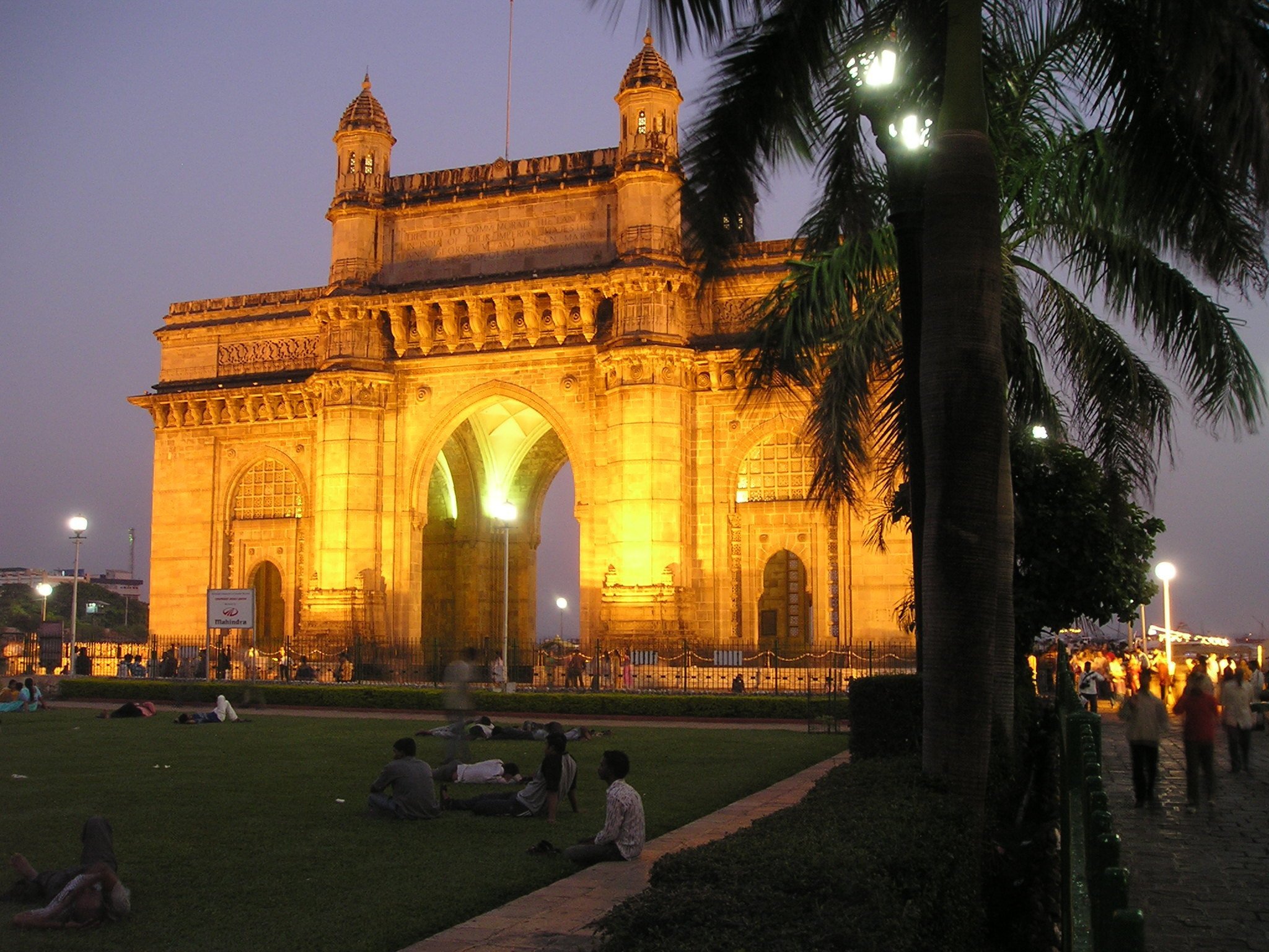
About Mumbai (ex Bombay)
Mumbai, India's financial capital, is a city of contrasts and colors, where towering skyscrapers stand alongside bustling bazaars. From the iconic Gateway of India to the vibrant street food scene of Chowpatty Beach, it's a melting pot of cultures and cuisines. The heartbeat of Bollywood echoes through its bustling streets, while historic landmarks like the Elephanta Caves whisper tales of bygone eras. With its bustling local trains and bustling markets, Mumbai is a city that never sleeps, where dreams are pursued against the backdrop of the Arabian Sea's shimmering waters.
About Diu
About Dwarka
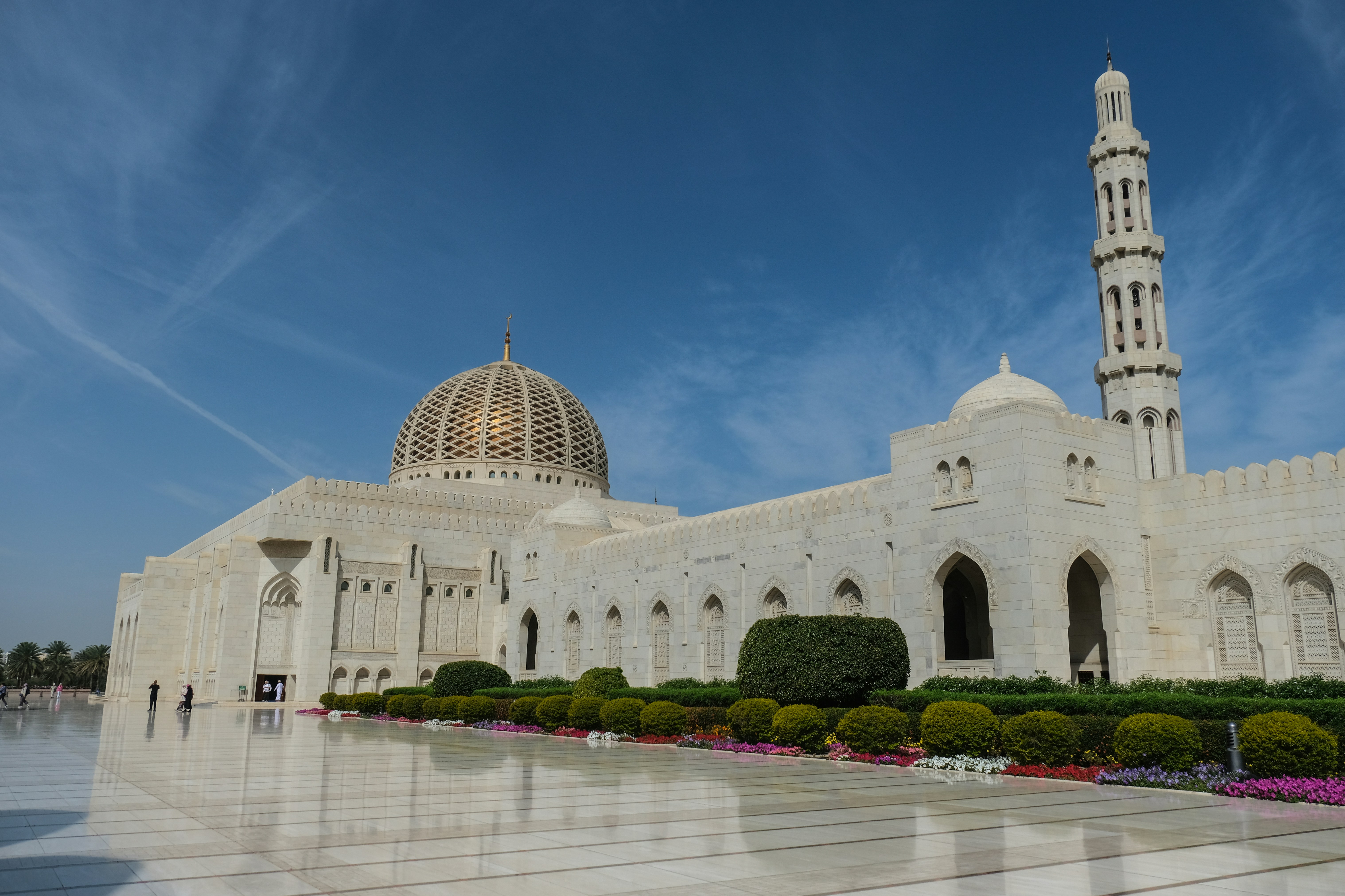
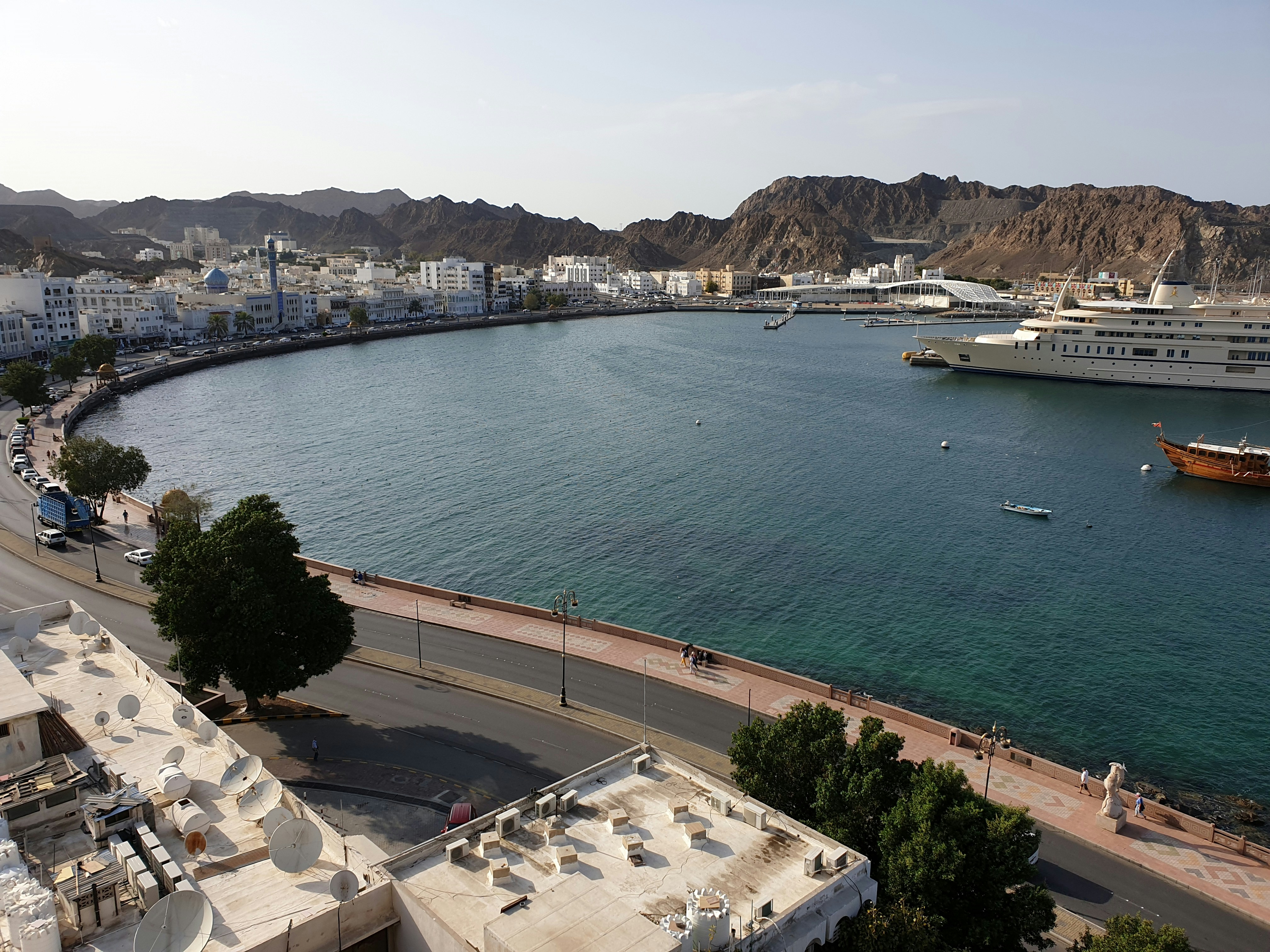
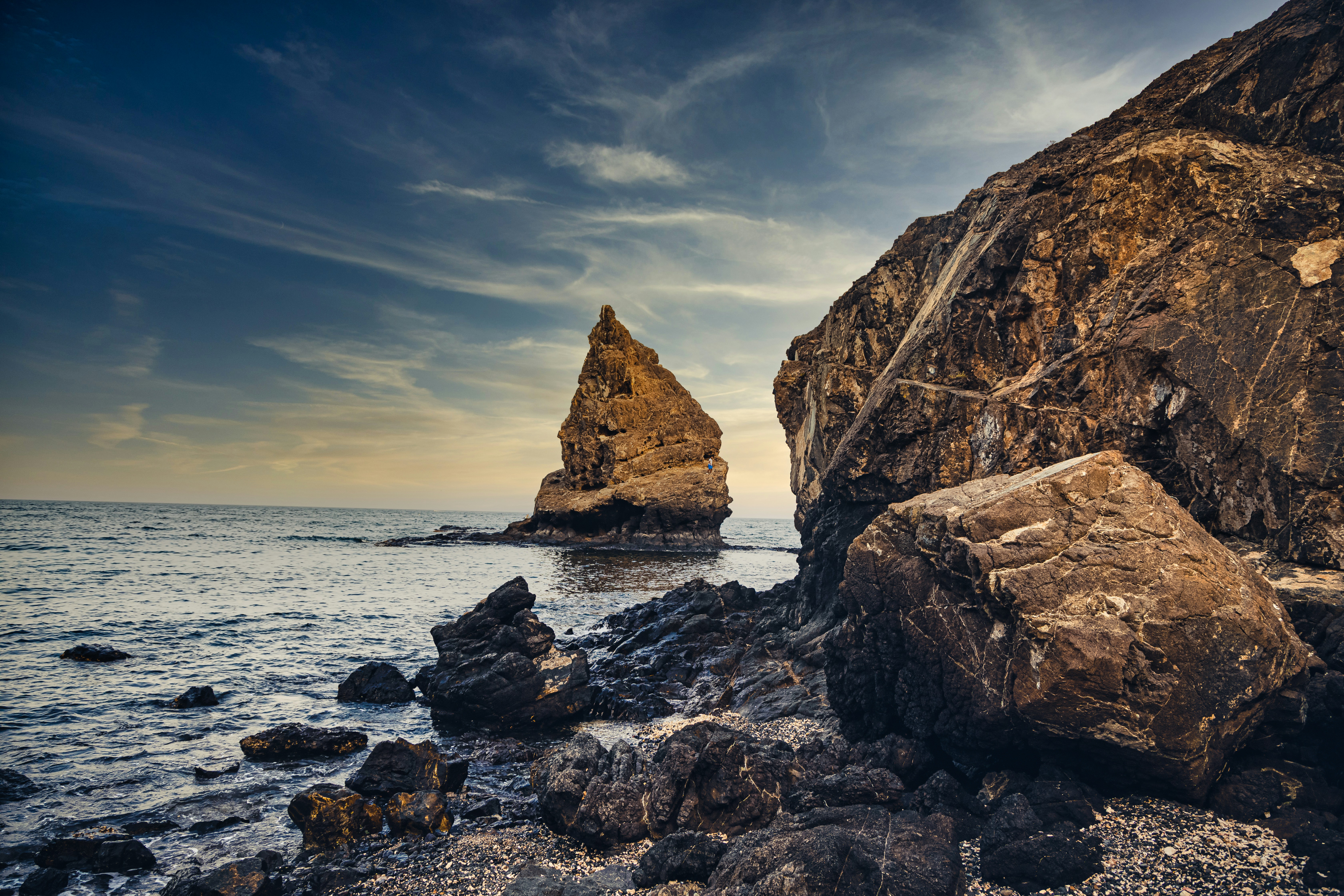
About Muscat
Oman's capital city is hemmed in on one side by spectacular jagged-peaked mountains and on the other by royal blue sea. The architecture is a traditional, sophisticated arabesque blend of white-washed, low-rise buildings surrounded by manicured palms, intricately designed domes set atop the minarets of the mosques, sand-colored villas, a surprising blend of modern art installations, like a giant incense burner that towers over the Corniche, and ancient forts set in the rocky hills. Though tradition abounds, from distinct, local cuisine to the widely worn national dress, the dishdasha, Muscat is a completely modern city, featuring opulent luxury hotels, international restaurants, excellent cellular and data service, sprawling shopping malls, pristine beaches, lively nightlife, world-class performing arts, and a highly educated population, most of whom speak English, Arabic, and often Hindi. Muscat is the ideal base for exploring other areas of the country since many of the most desirable destinations are within a few hours' drive.

About Muscat
Oman's capital city is hemmed in on one side by spectacular jagged-peaked mountains and on the other by royal blue sea. The architecture is a traditional, sophisticated arabesque blend of white-washed, low-rise buildings surrounded by manicured palms, intricately designed domes set atop the minarets of the mosques, sand-colored villas, a surprising blend of modern art installations, like a giant incense burner that towers over the Corniche, and ancient forts set in the rocky hills. Though tradition abounds, from distinct, local cuisine to the widely worn national dress, the dishdasha, Muscat is a completely modern city, featuring opulent luxury hotels, international restaurants, excellent cellular and data service, sprawling shopping malls, pristine beaches, lively nightlife, world-class performing arts, and a highly educated population, most of whom speak English, Arabic, and often Hindi. Muscat is the ideal base for exploring other areas of the country since many of the most desirable destinations are within a few hours' drive.
About Khasab
See Khasab’s jutting fjords, and the dolphins playing in the emerald waters, and it’s forgivable to think you’ve stumbled across a surreal Norway. The burning sun and scorched earth, serve as a constant reminder that you're a long way from Europe, however - although the Portuguese roots mean there's a colonial tint to the city. Sitting on the Northern coast of Oman, reaching across towards Iran, this is an isolated and fascinating destination to explore. The remote location, and limited infrastructure here, until recent times, means Khasab has been left to live life at its own pace, and the city sings to its own song sheet. Even now you can see a blind eye being turned to the smugglers who whisk electronics across the Gulf to Iran, in small speed boats.
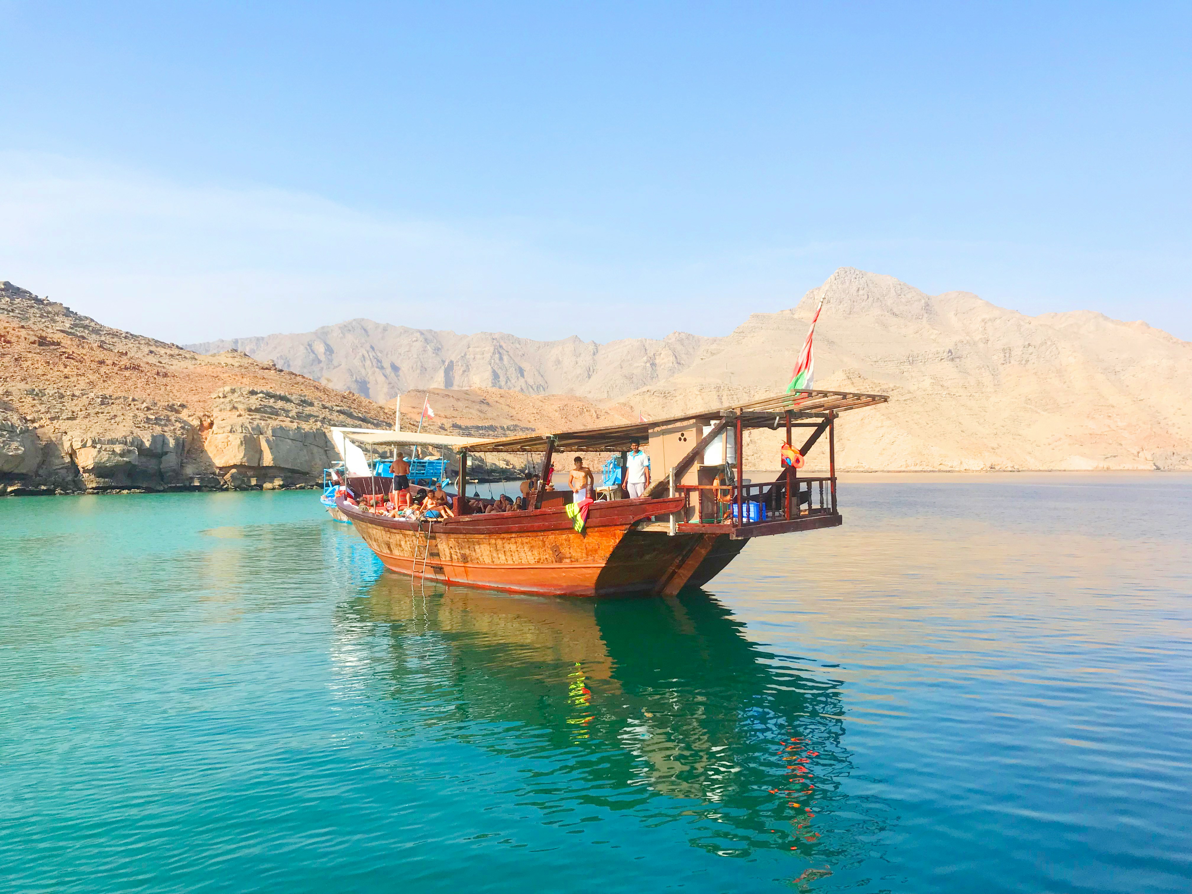
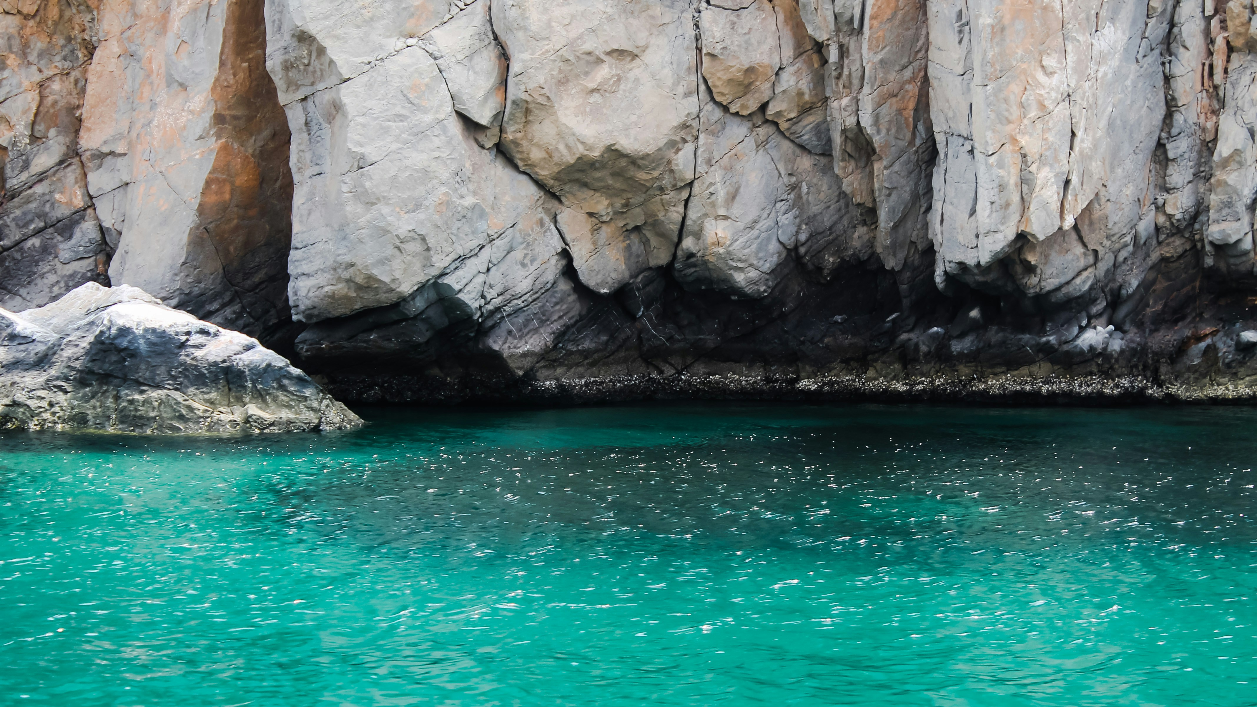
About Doha
Doha (population 700,000) is the capital of the State of Qatar, an emirate occupying the small Qatar Peninsula bordered by Saudi Arabia to the south and otherwise surrounded by the Persian Gulf. Qatar was ruled by many different powers through the centuries, in fact historians have traced human habitation dating back 5000 years. From its earliest history, Qatar was a very important trade route connecting Mesopotamia and the Indus Valley. Among its occupiers were the Portuguese, the Ottomans and finally the British during the turbulent years of the 20th century. Qatar gained independence in 1971, and with resources from oil exportation, His Highness Sheikh Khalifa Bin Hamad made improvements in social programmes including education, health and housing. In 1995, his son, His Highness Sheikh Hamad Bin Khalifa Al-Thani assumed the throne and brought with him a modern and progressive approach that quickly transformed the country. Doha, home to 80 percent of the country’s population, was founded under the name of Al-Bida in 1850. It became the capital of the British protectorate of Qatar in 1916. When the nation gained its independence, Doha remained the capital. During the early 20th century, much of Qatar’s economy depended on fishing and pearling. But after the introduction of Japanese cultured pearls, Doha and the whole region suffered a decline. Only when oil was discovered, prosperity returned following World War II. Today, the country produces over 800,000 barrels of oil daily. Doha is situated halfway down the east coast of the peninsula. It is an intriguing mixture of old and new, with ultra modern architecture next to traditional souqs and historic forts. It boasts a university and the Qatar National Museum (currently closed for renovation), which opened 1975 in what was originally the ruler’s palace. As the country’s cultural and commercial centre, Doha enjoys excellent communications with the outside world through its modern seaport, airport and telephone links. The Al Jazeera Arabic satellite television news channel began broadcasting in 1996 with its headquarters in Doha. While Arabic is the official language, English is widely spoken. Please Note: Conservative dress is required when going ashore. As a rule, women should not wear miniskirts, shorts or sleeveless tops and men should always wear a shirt in public. Please do not photograph people without their permission, especially women.You may not take pictures of government buildings, embassies or anything military in nature, including airports.
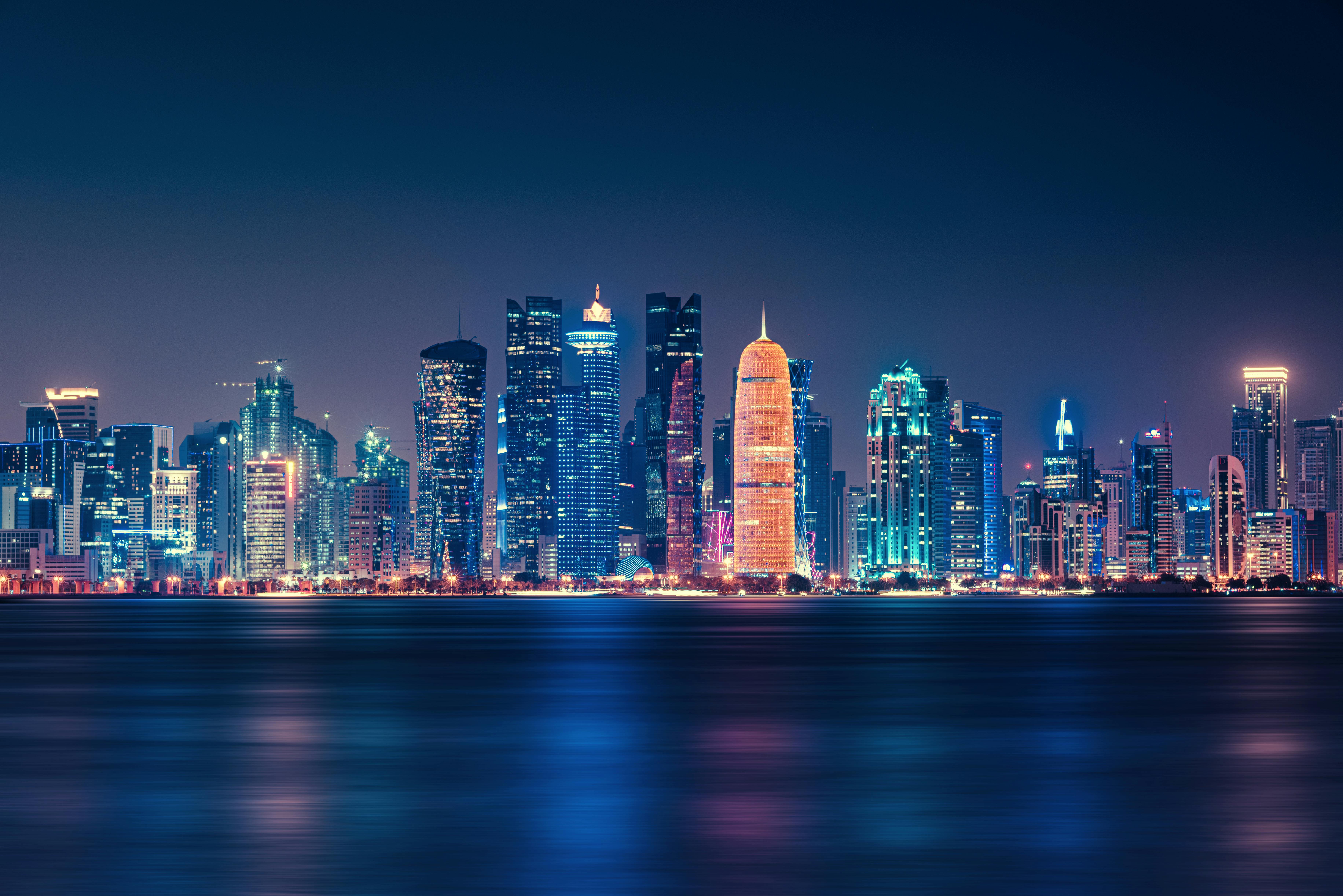
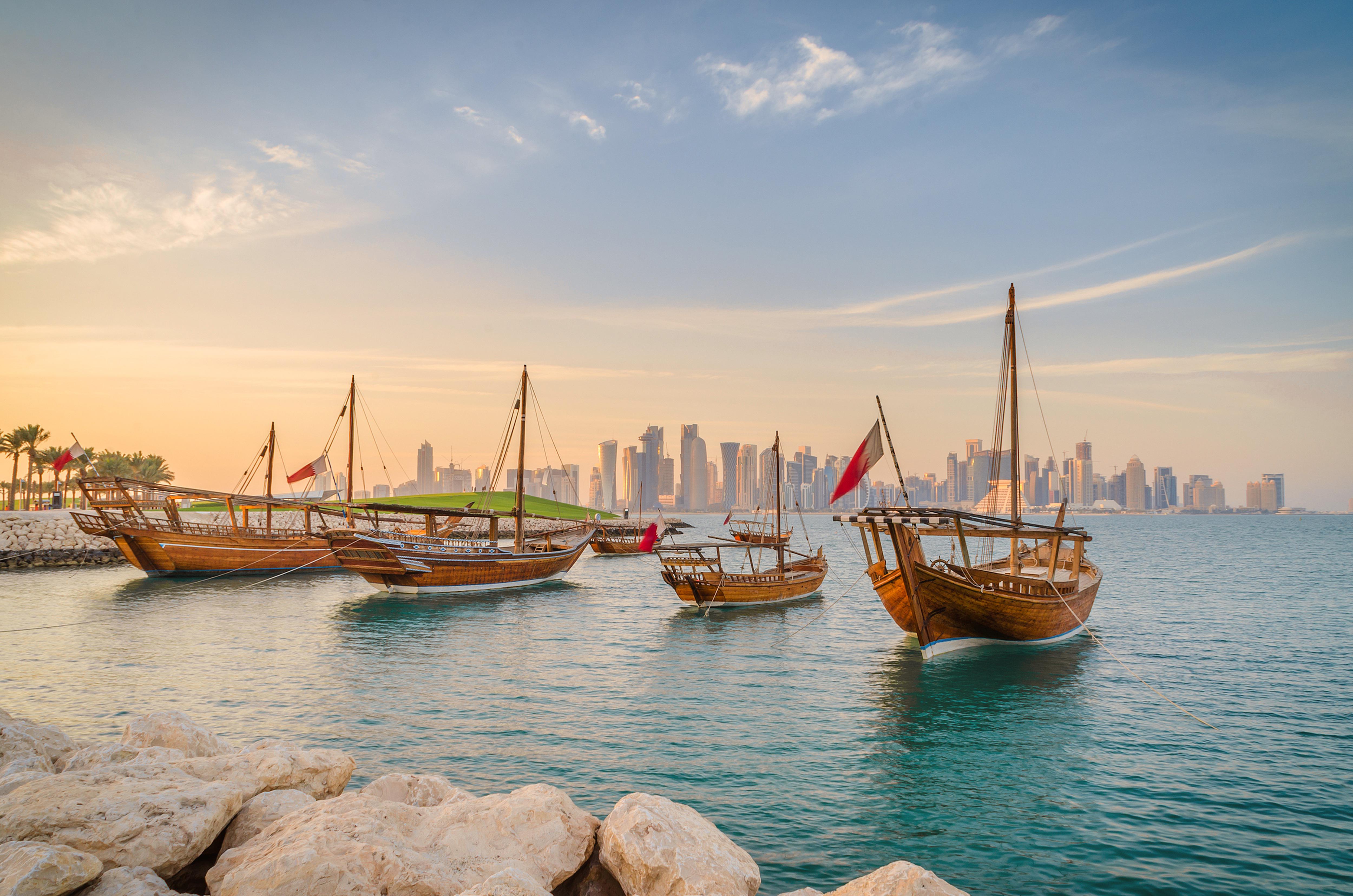
About Sir Bani Yas Island
About Abu Dhabi
Just a few decades ago, Abu Dhabi, the island capital of the United Arab Emirates, was a small fishing village with houses made of mud-brick and palm fronds. Today, as a result of revenue from oil, Abu Dhabi is one of the world's richest cities, with wide, tree-lined okulevards, lush green parks, gushing fountains and imposing skyscrapers. Somewhat of a dichotomy, Abu Dhabi is a combination of ultra-modern sophistication and Arab mystique, with friendly and hospitable people offering a warm welcome to visitors. Abu Dhabi's history originated in the 18th century, when, according to legend, a group of tribesmen pursuing a gazelle came upon a freshwater well which they named Abu Dhabi, or "Father of the Gazelle". In the 19th century, the first fort was built over this well by a sheikh of the Al-Nahyan dynasty. The fort's name is Al Husn Palace, also known as Old or White Fort, and it is one of the few buildings in Abu Dhabi that is more than 25 years old. Its whitewashed walls are eye-catching amid the backdrop of today's skyscrapers. Presently, it is home to the Cultural Foundation and serves as a documents centre. Abu Dhabi had little significance until the discovery of vast oil reserves in the late 1950s and early 1960s. In the years following, the city's economy and infrastructure developed rapidly and changed Abu Dhabi beyond recognition.
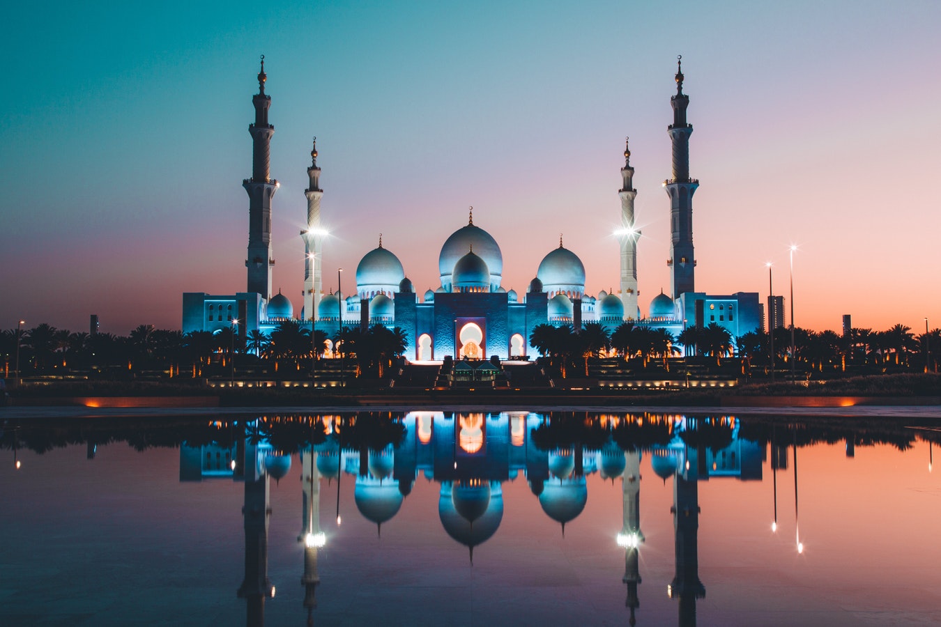
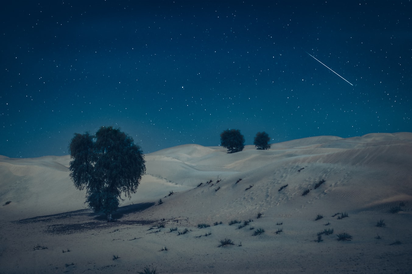
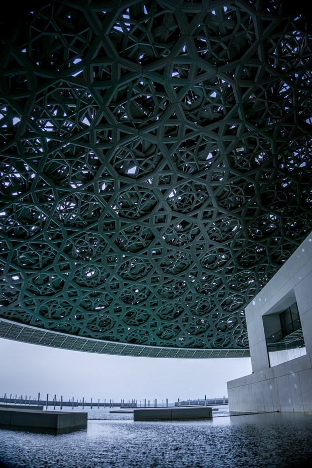
About Dubai
Dubai sits on a golden sandy coastline in the Arabian Gulf, where the warm azure waves of the sea meet the desert. A high-rise oasis, this city is a pleasure-dome surrounded by dunes; one of the most fashionable on the planet thanks to its ability to satisfy the needs of legions of demanding vacationers. Dubai is about having fun—and it's one big adult playground.Nature plays her part here, with year-round sunshine, gorgeous beaches, dramatic arid landscapes, and warm waters, but it's the man-made attractions that make Dubai so alluring. You can launch yourself into high-adrenaline desert adventures, diving and water sports, and some of the world's best golf courses. The 5-, 6-, and 7-star hotels offer the ultimate in luxury, and the party scene is hot. Shopping malls are the biggest in the world and are packed full of high-class merchandise. And with hundreds of restaurants with cuisine from around the world, you can munch your way from Mexico to Malaysia.Dubai is an Arab country with a long history as a trading port. Traces of its traditional life, customs, and architecture can still be seen and explored, but today and tomorrow are much more important than yesterday. Almost every building in this metropolis is less than 20 years old and the most dramatic developments—groundbreaking megaprojects—have just been completed or are still under construction.The city is certainly unique. Islam is its anchor, but it has opened its doors to the rest of the world and has invited them in to work, rest, and play, which creates a truly international atmosphere. Unashamedly modern and materialistic, life here takes place at breakneck speed. The landscape is stark, the confidence is sky high, the can-do spirit is palpable, and the bling is in your face. Dubai produces strong reactions in people, but one thing is certain—love it or loathe it—you will not forget it. It is without a doubt, one of the world's true must-see destinations.Shisha: Smoke Without Fire. Emirati men love socializing, but as they don't drink alcohol they get together over coffee and shisha instead of a drink at the bar after work. The shisha, or hookah, is a smoking device, usually made of glass, that filters smoke through water before it reaches the smoker's mouth. Shisha tobaccos are aromatic and are often mixed with apple, cinnamon, or cherry, so their taste isn't as strong as other tobaccos. Smoking shisha is said to induce relaxation—but you'll have to decide if it's for you!
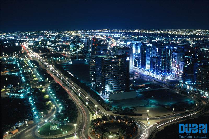
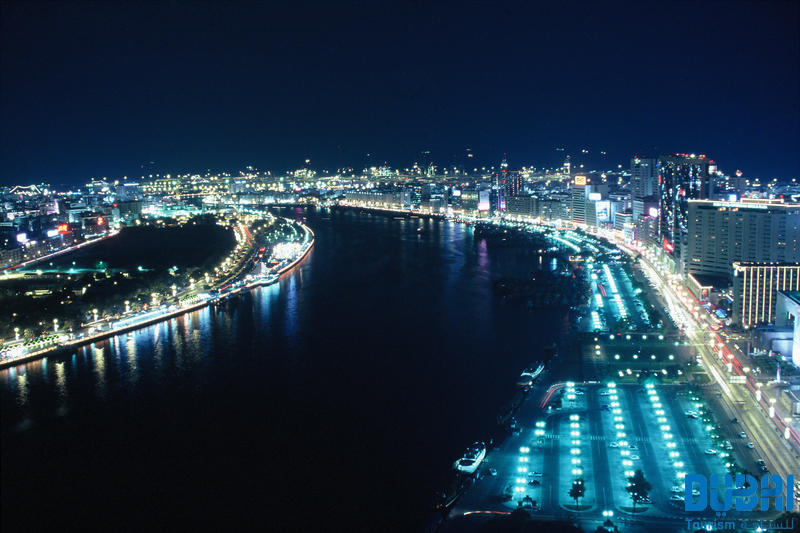
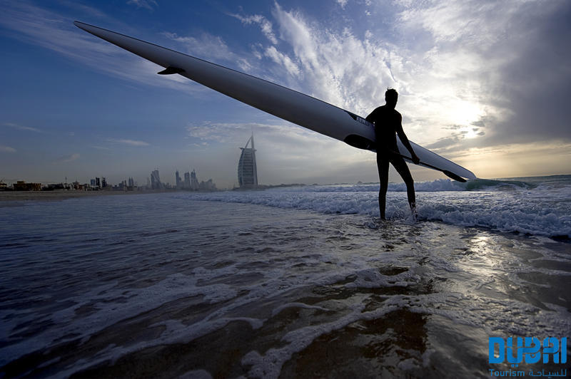
About Sur
Once a central trading port for East Africa and India, Sur was also renowned for the wonderful wooden ships it produced. Having lost some of its prestige when the French completed the Suez Canal in the 19th century, and struck by a cyclone in 2007, the city has nevertheless retained its scenic dunes and crystal waters. Sur’s most recognisable monument today is the Ras al Haad castle, a gem of Islamic architecture built in the 13th century to protect locals from Christian attacks, and which now serves as a regional political centre. While in town, science aficionados will be lured by the impressive Ras Al Jinz Scientific & Visitor Center, offering modern facilities and apps to discover the local wonders of fauna and flora. Alternatively, for an in-depth discovery of the city’s history, the maritime museum is an excellent choice.
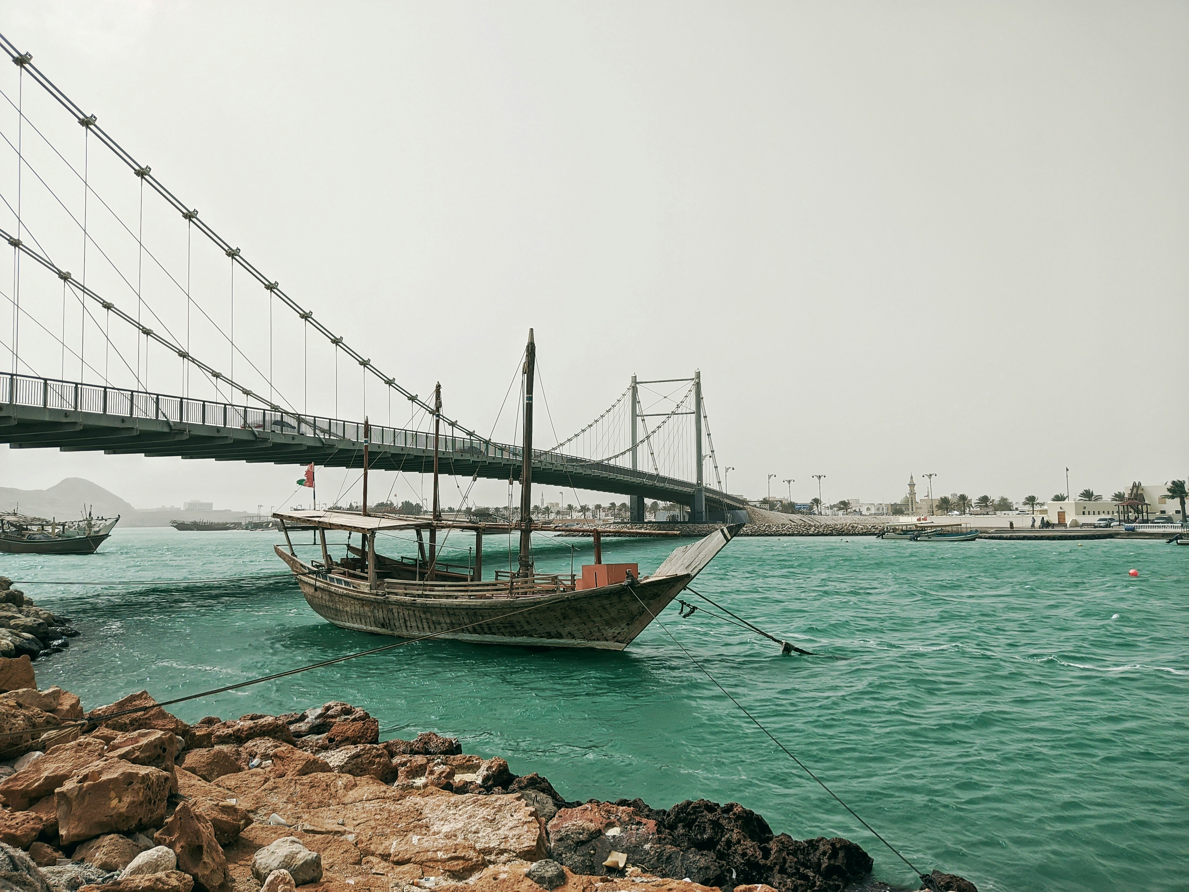
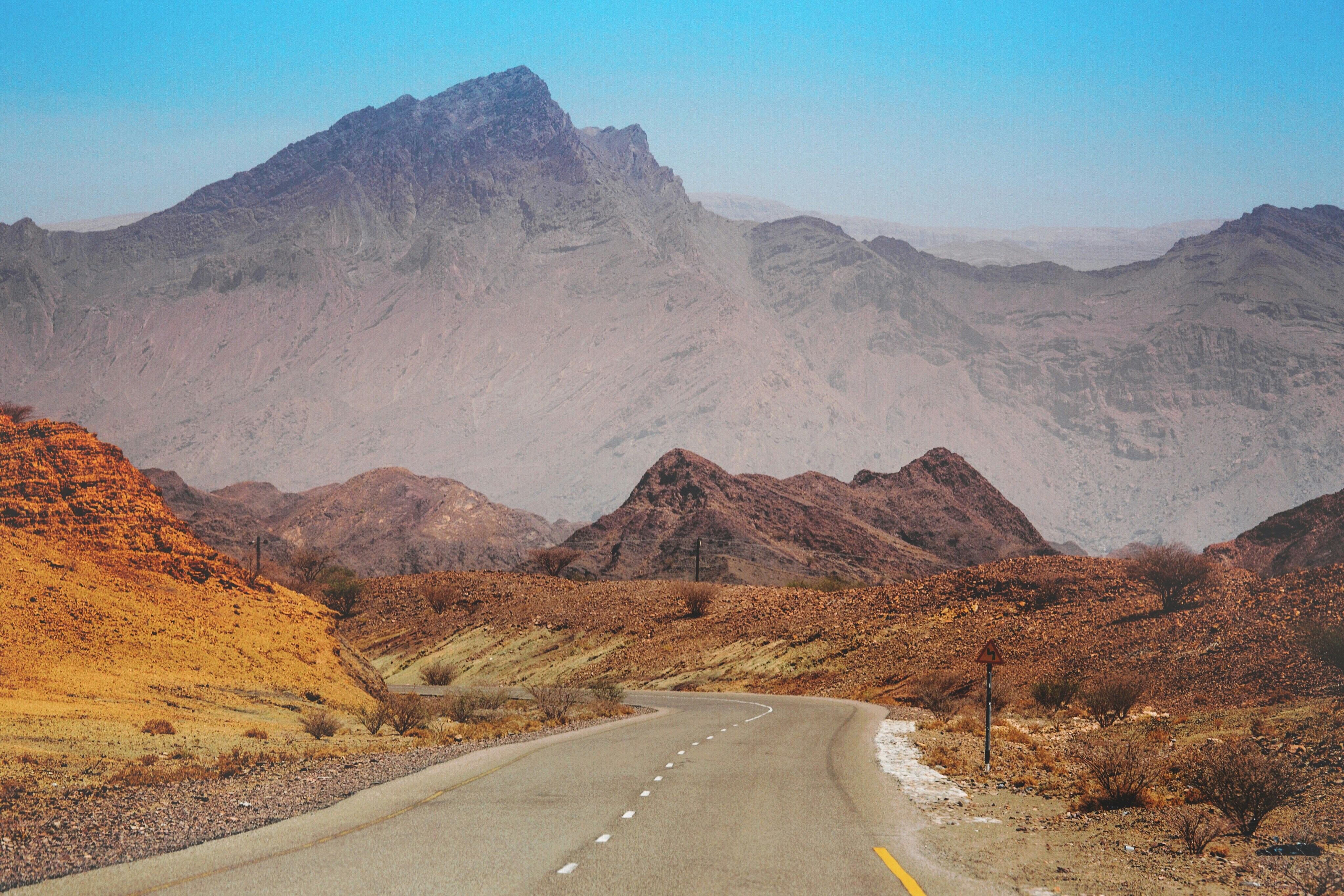
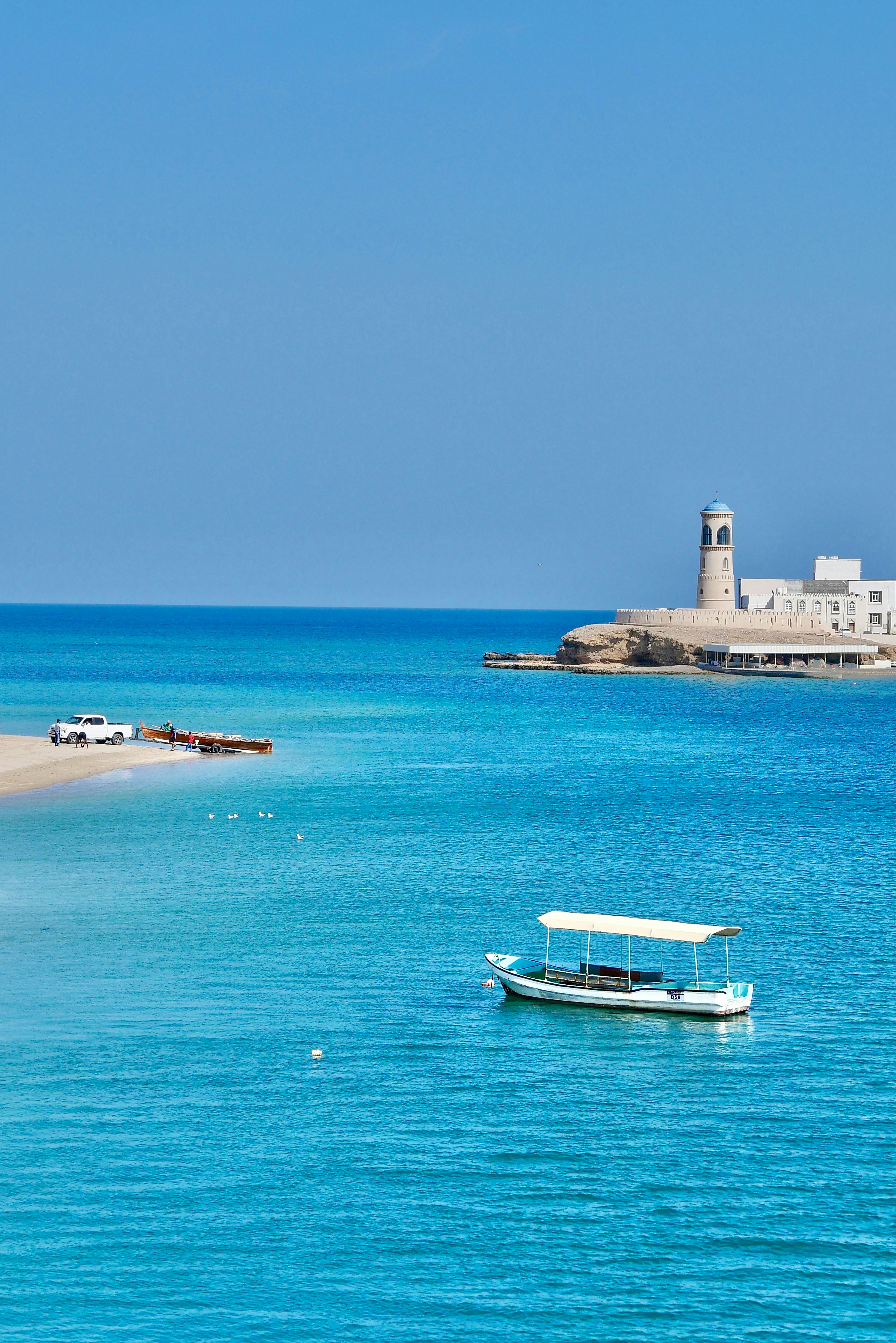
About Salalah
The lush landscape around Salalah is the intriguing result of a quirk of nature. Since it is uniquely situated in the path of the Khareef, or South Western Monsoon, this stretch of the Dhofar Coast is covered in fine mist and frequent rain from mid-June through mid-September. By the time the monsoons cease, the entire coastline is a verdant stretch. Waterfalls, rolling grasslands, and thickly wooded wadis (riverbeds) thrive alongside rapid mountain streams. Unique in this desert region, Salalah attracts many visitors from the surrounding Arabian Gulf countries who are anxious to experience a rare lushness in a region where rain and greenery are in short supply. Once a stop on the ancient trading routes that connected the Levant to India and China, Salalah has a rich history that goes back centuries. Traders from Mesopotamia, the Persian Empire, and beyond passed through Salalah in their search for frankincense, making it a major center for trade in the coveted exotic ingredient. Pre-Islamic tombs and grave sites, some believed to be up to 2,000 years old, are scattered all over the nearby mountainsides and the present-day city, which has an estimated 195,000 inhabitants.
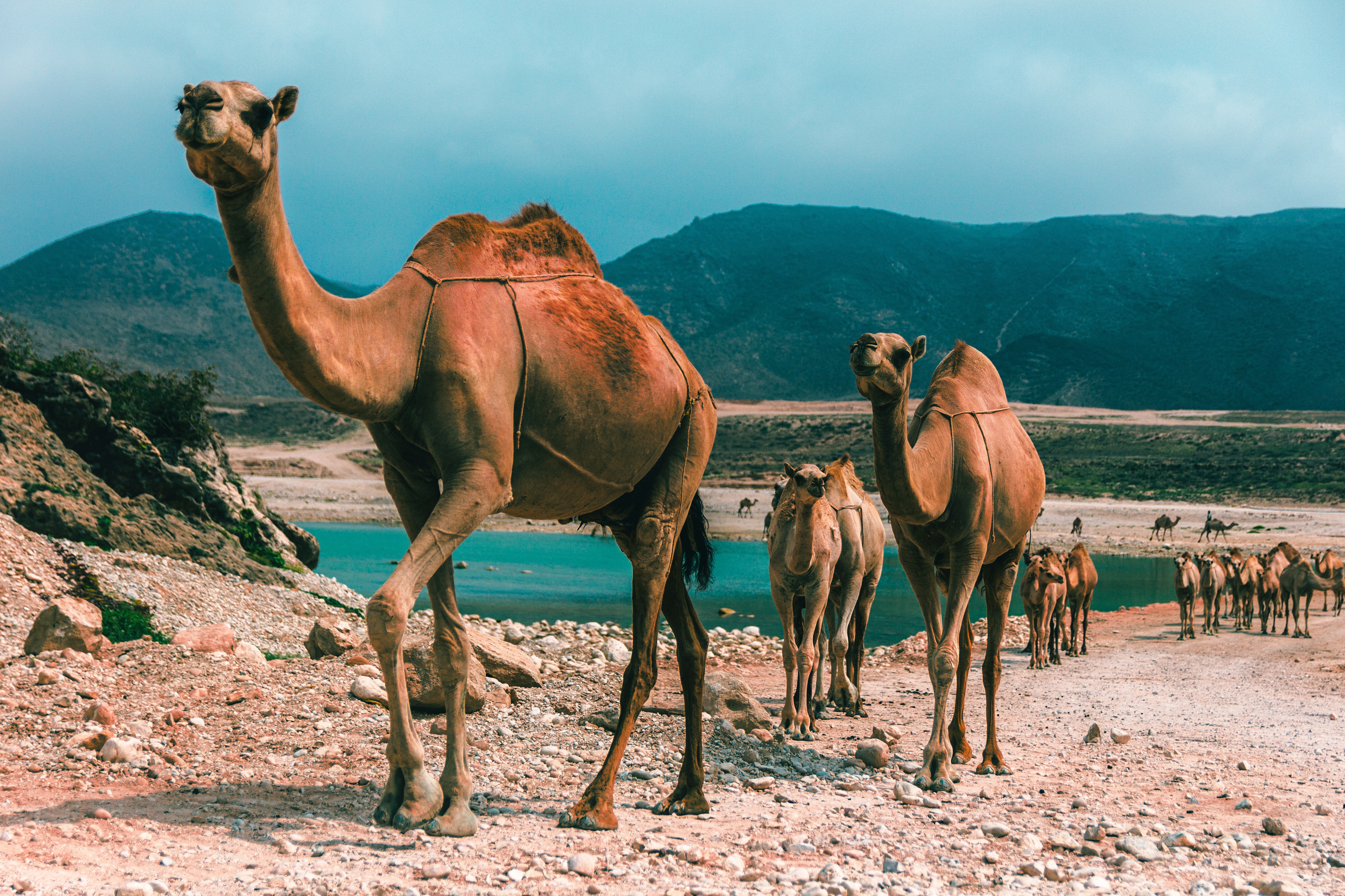
About Jeddah
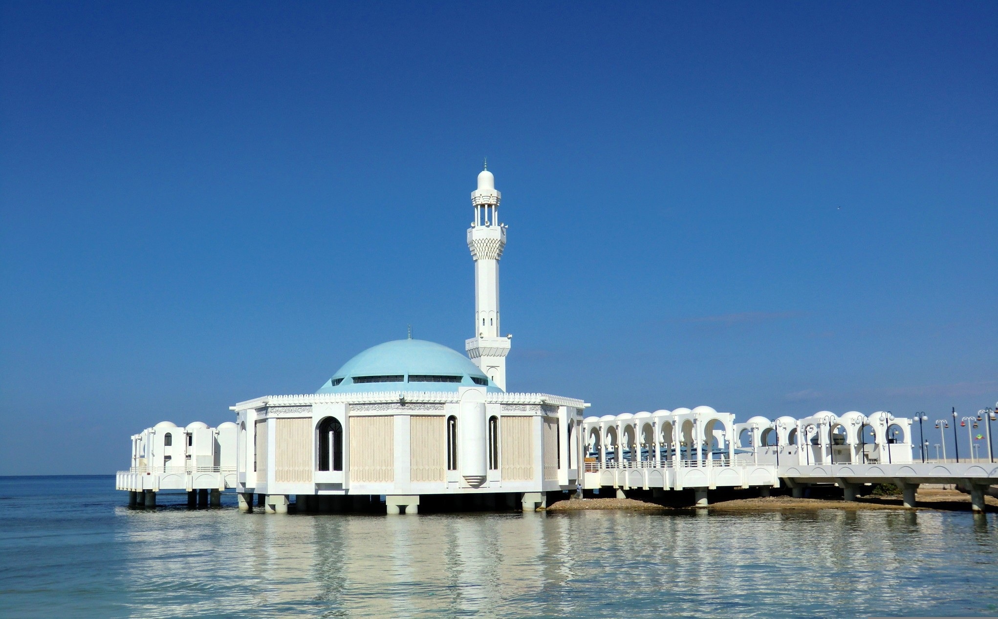
About Jeddah
About Umluj
About Safaga
Port Safago has been undergoing a transformation, slowly metamorphosing into a holiday rsort. Like other cities on the Red Sea, the commercial port town sits close to great offshore dive sites. Unlike others, however, tourist development hasn't taken off in a meaningful way. But if the mass tourism in Hurghada is a turnoff, Safaga offers a small-scale and much more low-key alternative, though the best dive sites can still be seen on a day trip from Hurghada. Safaga is also the closest beach resort to Luxor and the Valley of the Kings, which lies 200 km (124 mi) to the southwest; when cruise ships offer land excursions to Luxor, they often do so through Safaga.
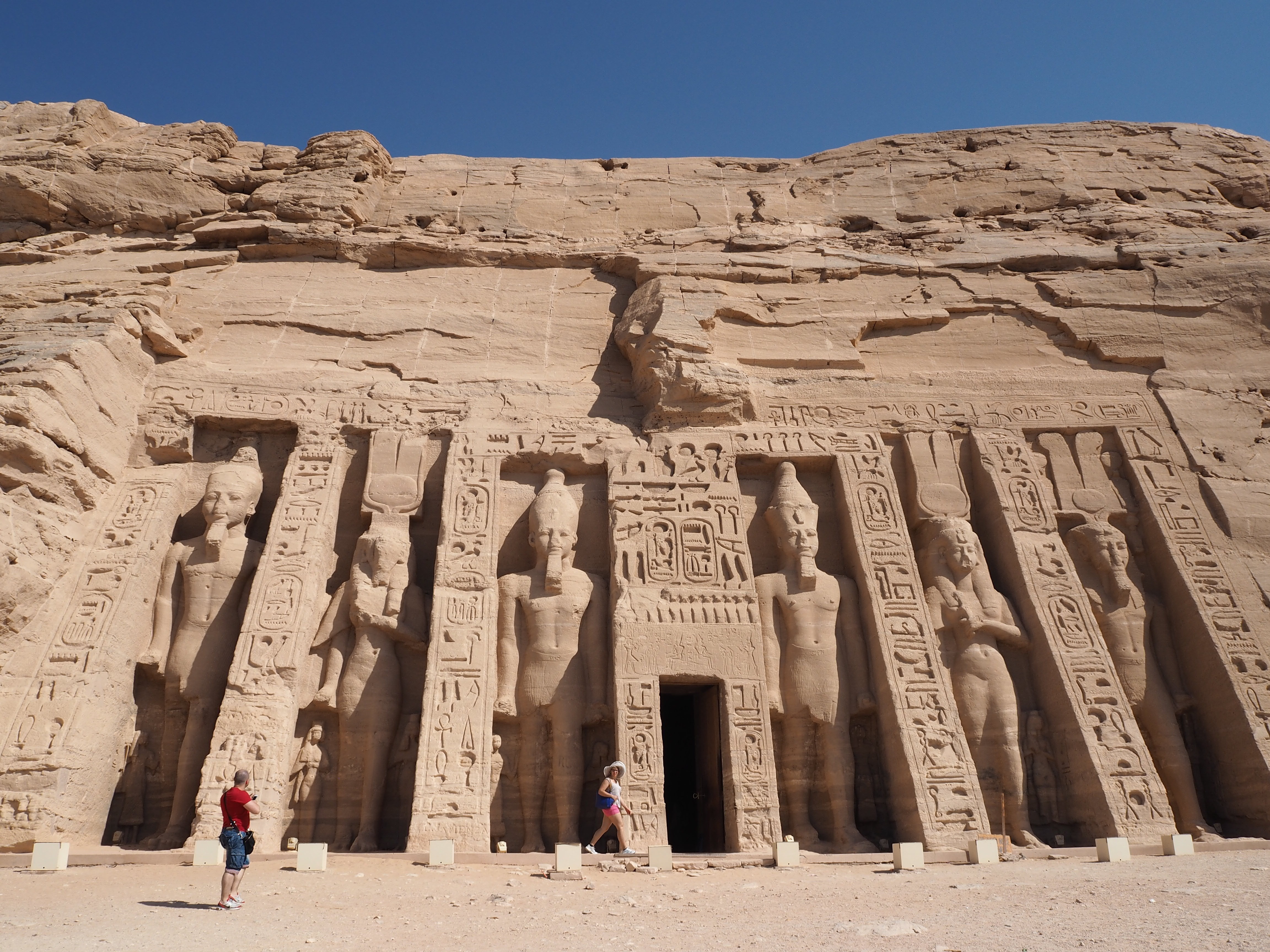
About Safaga
Port Safago has been undergoing a transformation, slowly metamorphosing into a holiday rsort. Like other cities on the Red Sea, the commercial port town sits close to great offshore dive sites. Unlike others, however, tourist development hasn't taken off in a meaningful way. But if the mass tourism in Hurghada is a turnoff, Safaga offers a small-scale and much more low-key alternative, though the best dive sites can still be seen on a day trip from Hurghada. Safaga is also the closest beach resort to Luxor and the Valley of the Kings, which lies 200 km (124 mi) to the southwest; when cruise ships offer land excursions to Luxor, they often do so through Safaga.
About 'Aqaba
The resort town of Aqaba, on the Red Sea at the southern end of Jordan, is a popular spot for divers with some of the best coral reefs in the world. Snorkeling and other water sports are popular, and it's easy to hire a boat for a day or half-day, including lunch.Aqaba has become quite a bustling destination, with several large luxury hotels and a large shopping area. There are many jewelry stores selling pearls, gem stones, and gold and silver jewelry. It's worth noting that although it's an international beach resort, Aqaba is quite conservative—certainly much more so than Amman—and North Americans tend to be more comfortable at the private hotel beaches.
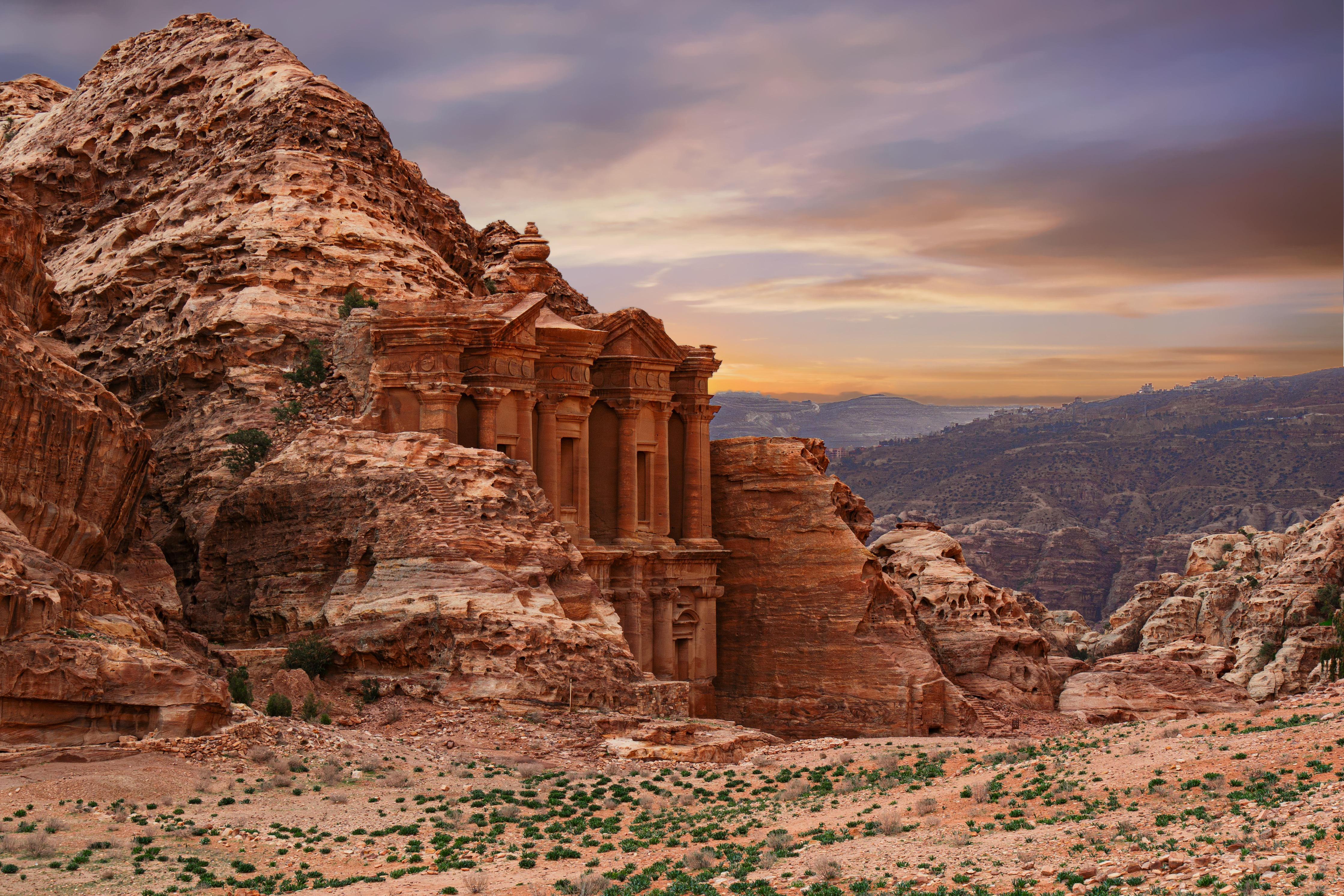
About 'Aqaba
The resort town of Aqaba, on the Red Sea at the southern end of Jordan, is a popular spot for divers with some of the best coral reefs in the world. Snorkeling and other water sports are popular, and it's easy to hire a boat for a day or half-day, including lunch.Aqaba has become quite a bustling destination, with several large luxury hotels and a large shopping area. There are many jewelry stores selling pearls, gem stones, and gold and silver jewelry. It's worth noting that although it's an international beach resort, Aqaba is quite conservative—certainly much more so than Amman—and North Americans tend to be more comfortable at the private hotel beaches.
About Sharm El Sheikh
The port and town of Sharm-el-Sheikh lies near the southernmost tip of the Sinai Peninsula where the Straits of Tiran meet the Gulf of Aqaba. With its strategic position, the Sinai posed a desirable target for various rulers over the centuries. In recent times, the last battle for the Sinai was fought between Egypt and Israel from 1967 to 1979, ending with a peace treaty signed in Washington, D.C. Since the withdrawal of the Israelis, more and more Egyptians have settled in the Sinai, taking advantage of the booming tourist trade. However, vast interior regions are still sparsely populated. Many Bedouins have been affected by the advent of the 21st century, which is rapidly changing their age-old customs and nomadic lifestyle. As tourism and hotel projects continue to spring up along the Sinai coast, contact with Bedouins not involved in tourism is becoming increasingly rare. Once their nomadic life kept them on the move with their tents; today many Bedouins cultivate grain, vegetables and dates in addition to catering to the tourists. Sharm-el-Sheikh was initially developed by the Israelis during the Sinai occupation. Na'ama Bay, a short drive from the port, has grown from virtually nothing into a sizeable resort since the early 1980s. Between the two towns, a string of hotels line a once-untouched coastline. Resort hotels offer great opportunities for swimming, snorkelling and scuba diving. Glass bottom boat trips are available for those preferring to view the exotic marine life of the Red Sea without getting their feet wet.
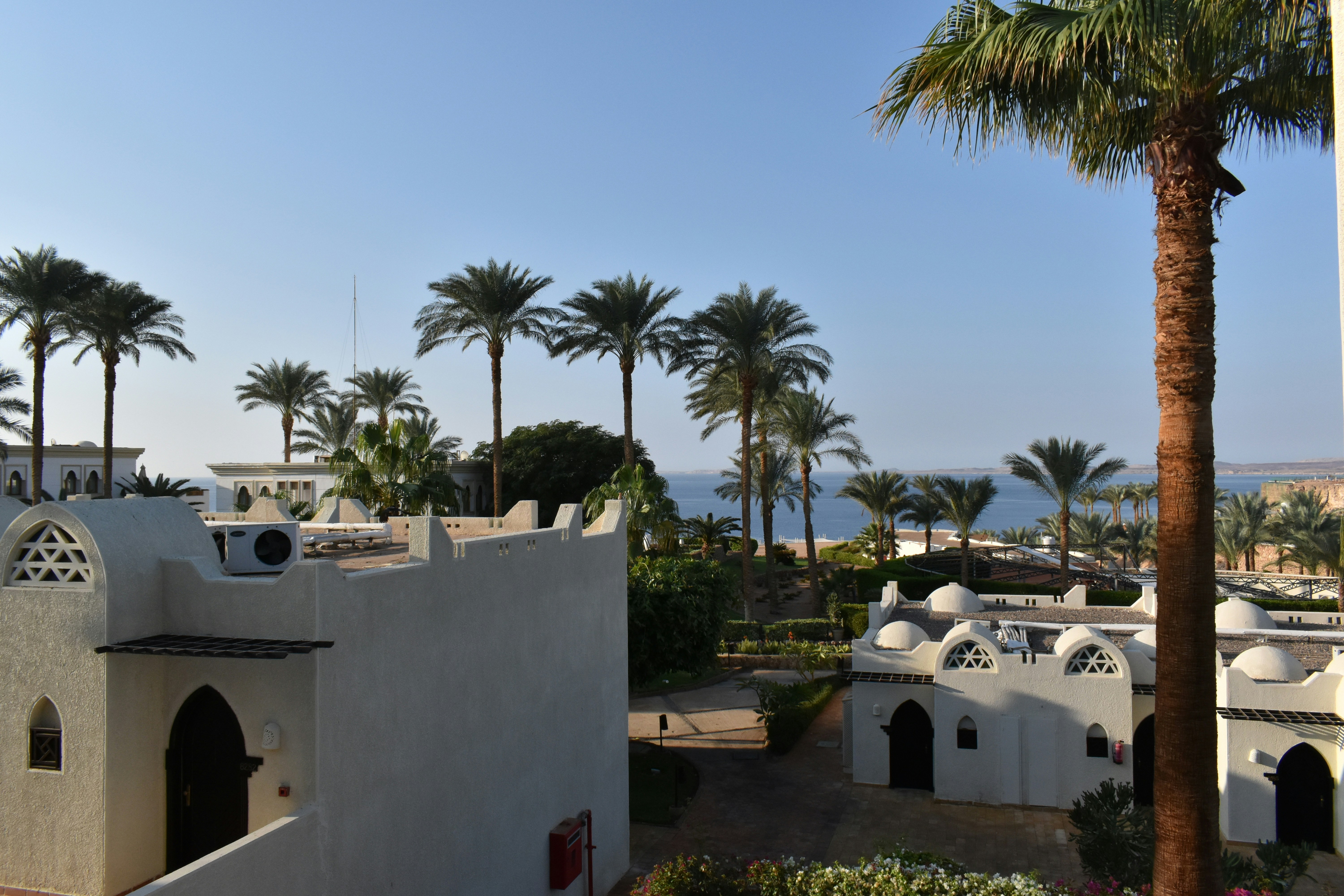
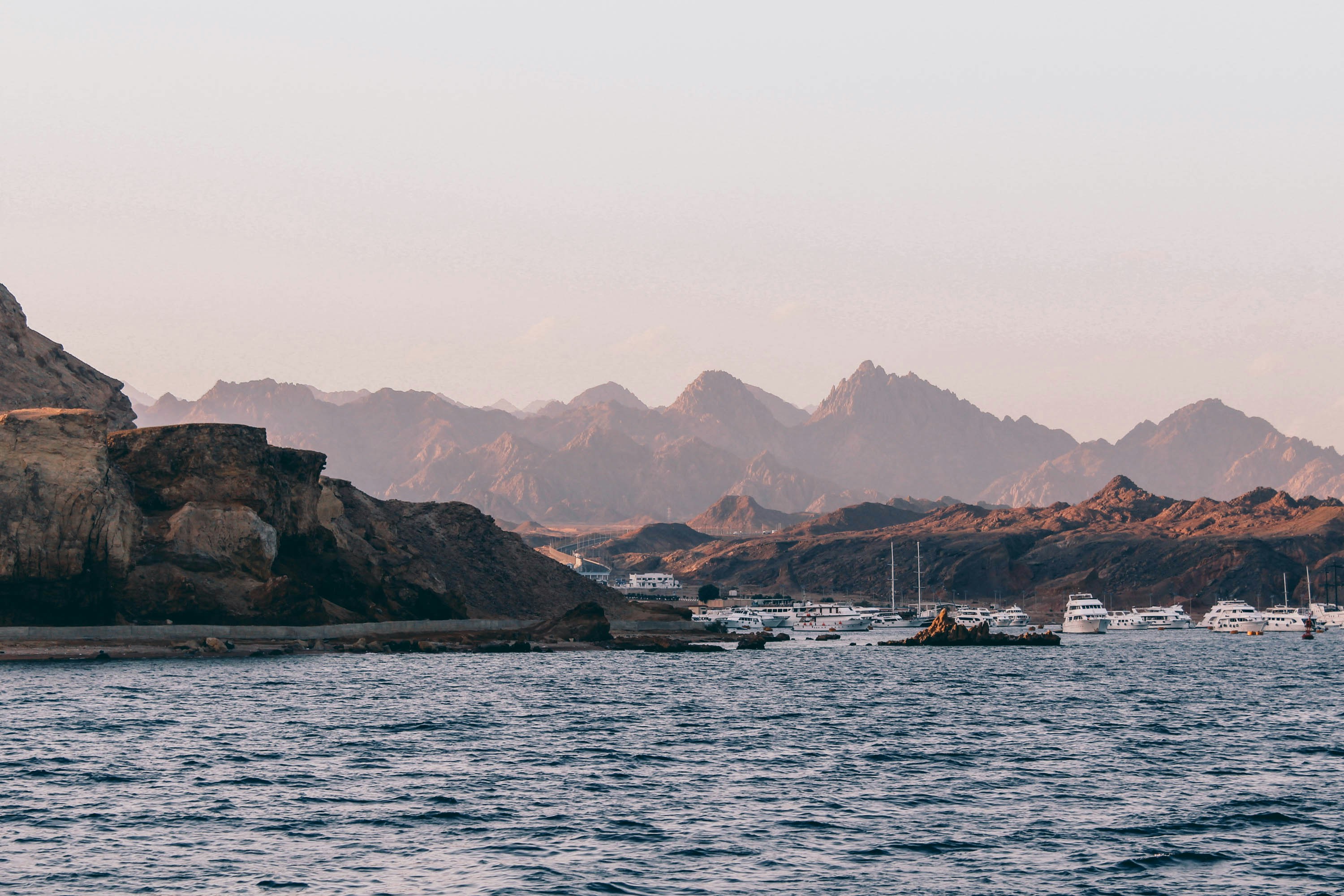
About Alexandria
Founded by Alexander the Great, Alexandria was Egypt's capital for over 1,000 years. Now, it is visited by tourists looking to enjoy some diving and those interested in the Great Library, one of the Seven Wonders of the Ancient World.
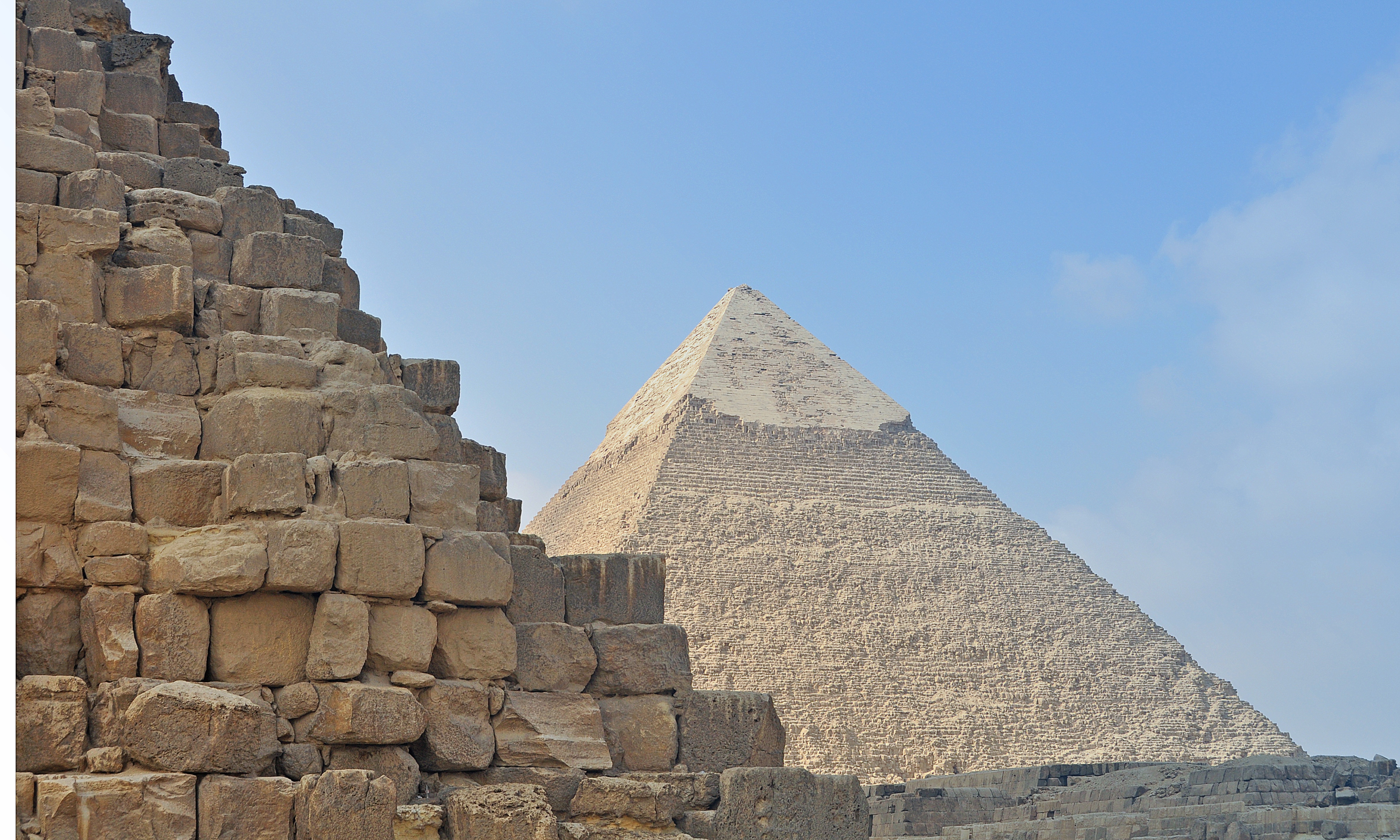
About Alexandria
Founded by Alexander the Great, Alexandria was Egypt's capital for over 1,000 years. Now, it is visited by tourists looking to enjoy some diving and those interested in the Great Library, one of the Seven Wonders of the Ancient World.
About Kusadasi
Whilst the busy resort town of Kusadasi offers much in the way of shopping and dining – not to mention a flourishing beach life scene, the real jewel here is Ephesus and the stunning ruined city that really take centre stage. With only 20% of the classical ruins having been excavated, this archaeological wonder has already gained the status as Europe’s most complete classical metropolis. And a metropolis it really is; built in the 10th century BC this UNESCO World Heritage site is nothing short of spectacular. Although regrettably very little remains of the Temple of Artemis (one of the seven wonders of the ancient world), the superb Library of Celsus’ façade is practically intact and it is one of life’s great joys to attend an evening performance in the illuminated ruins once all the tourists have left. The history of the city is fascinating and multi-layered and it is well worth reading up on this beforehand if a visit is planned. Another point of interest for historians would be the house of the Virgin Mary, located on the romantically named Mount Nightingale and just nine kilometres away from Ephesus proper. Legend has it that Mary (along with St. John) spent her final years here, secluded from the rest of the population, spreading Christianity. An edifying experience, even for non-believers. For the less historical minded amongst you, Kusadasi offers plenty in the way of activities. After a stroll through the town, jump in a taxi to Ladies’ Beach (men are allowed), sample a Turkish kebap on one of the many beachfront restaurants and enjoy the clement weather. If you do want to venture further afield, then the crystal clear beaches of Guzelcamli (or the Millipark), the cave of Zeus and the white scalloped natural pools at Pamukkale, known as Cleopatra’s pools, are definitely worth a visit.
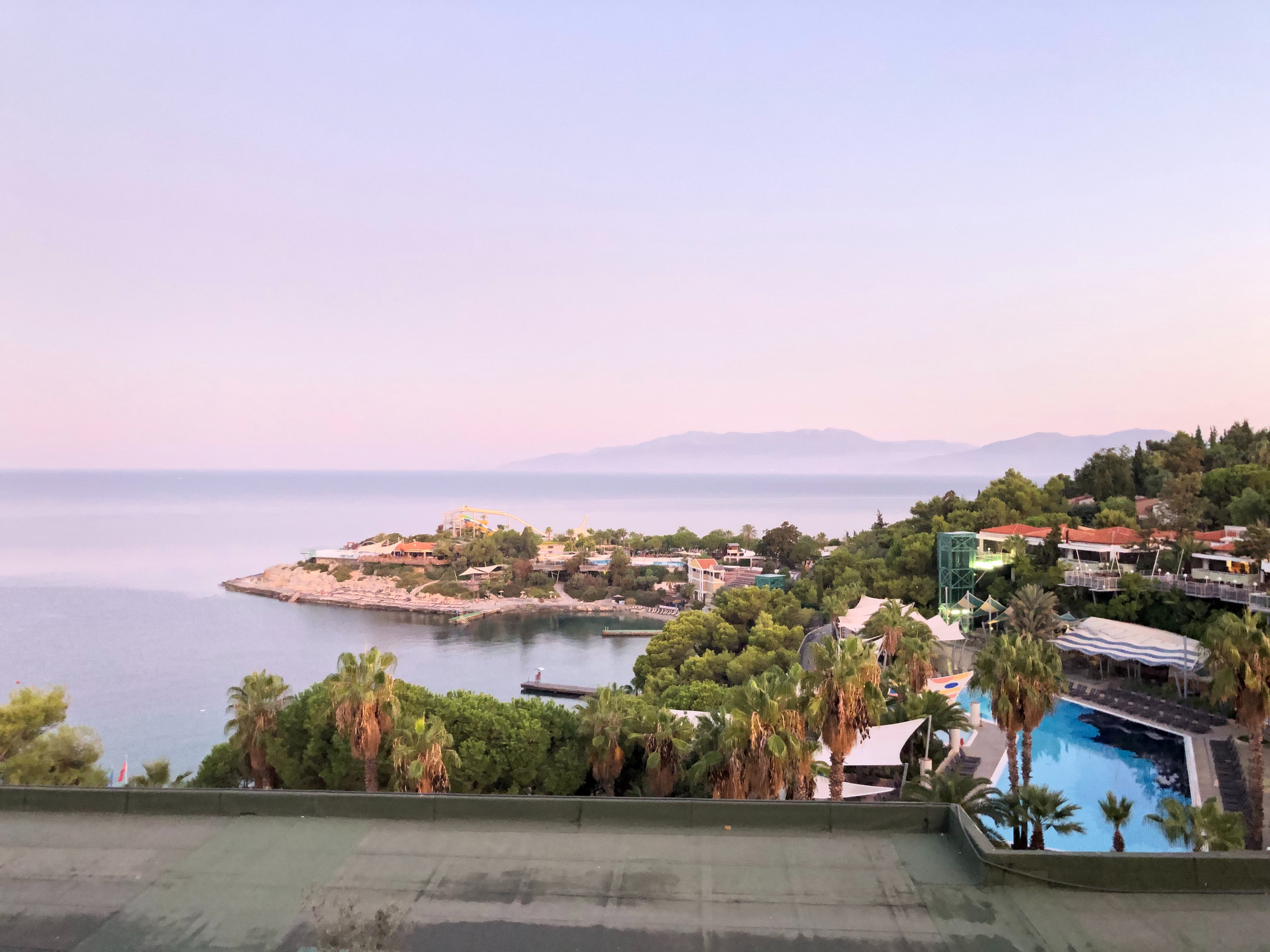
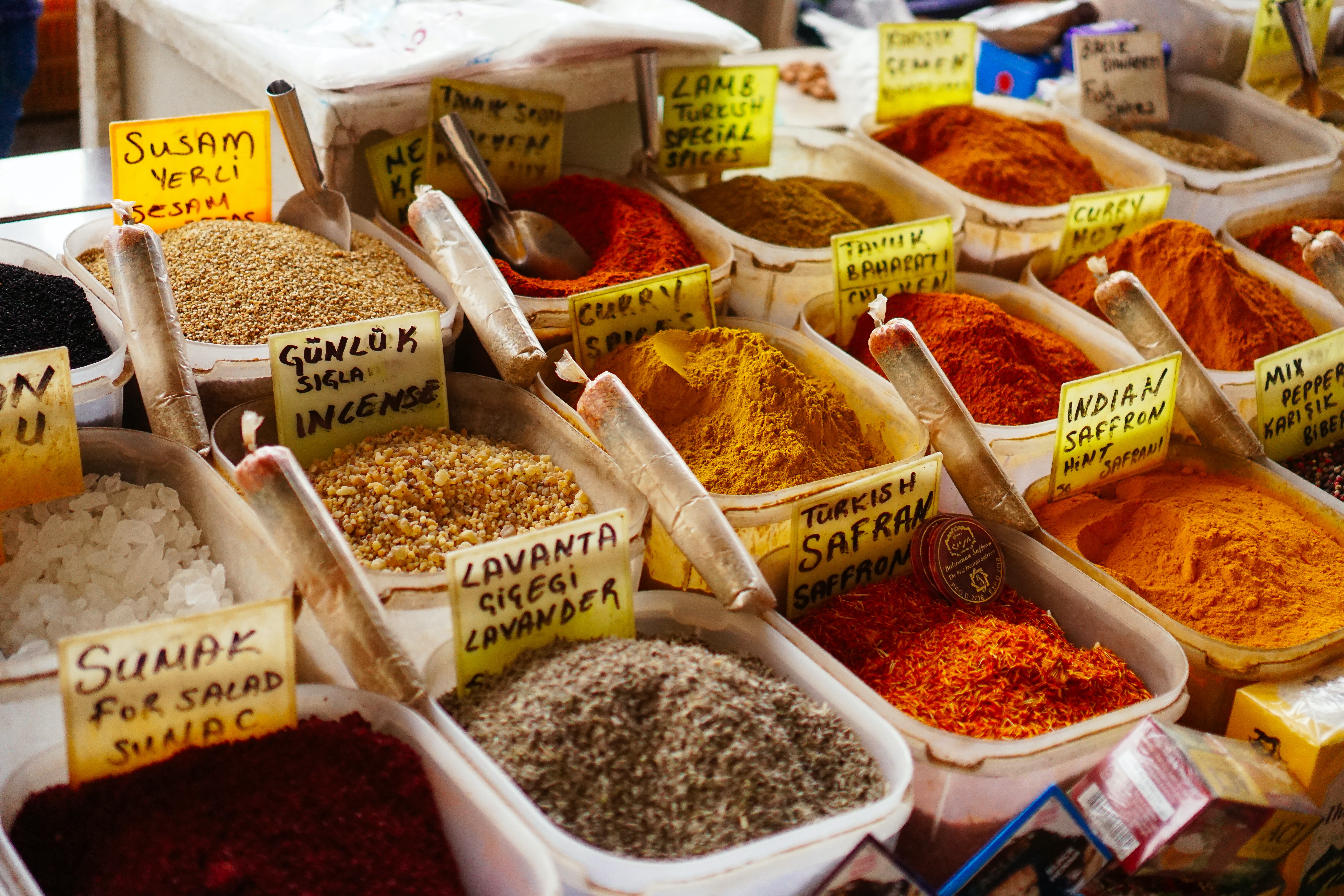
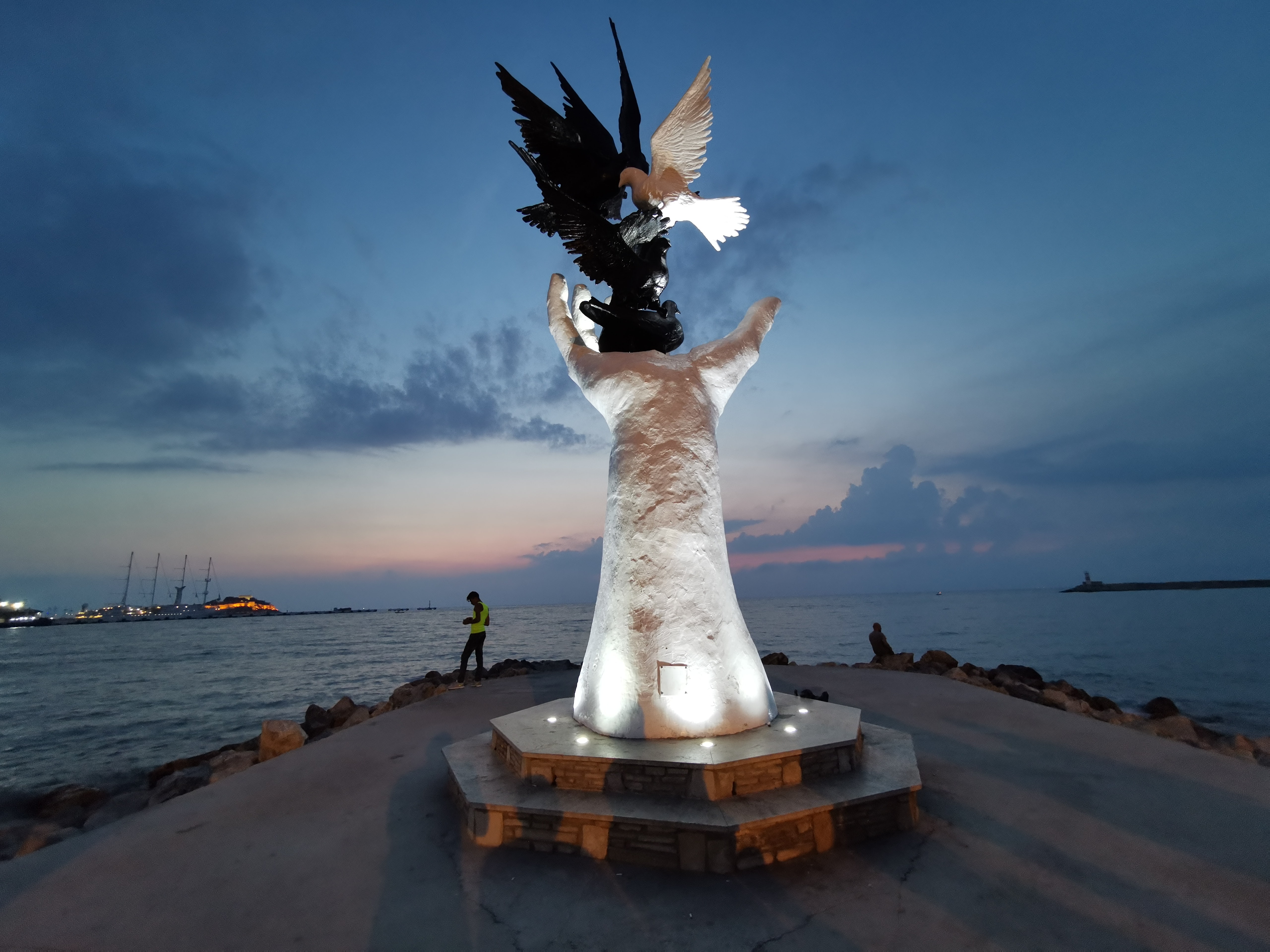
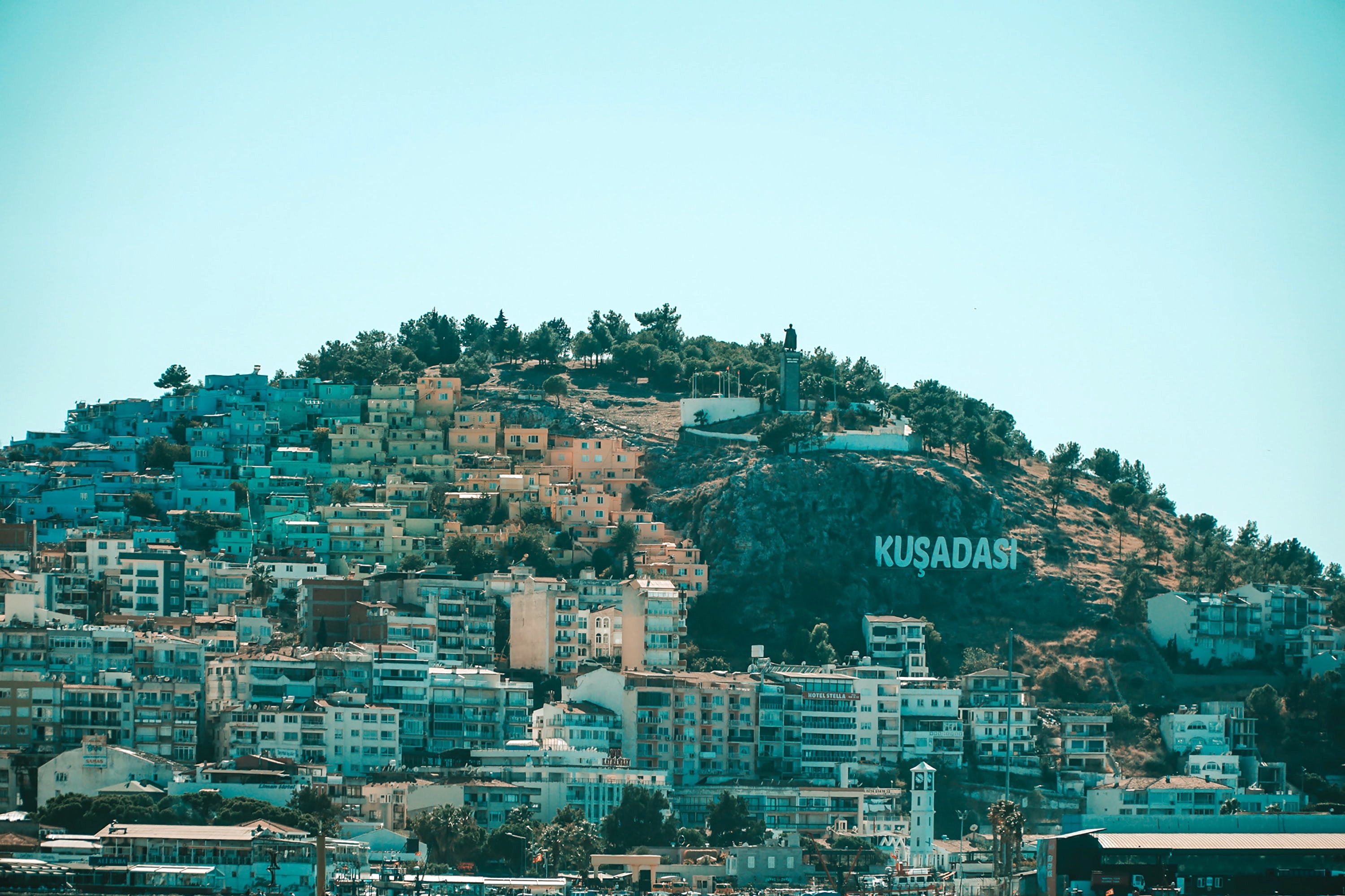
About Mykonos
Although the fishing boats still go out in good weather, Mykonos largely makes its living from tourism these days. The summer crowds have turned one of the poorest islands in Greece into one of the richest. Old Mykonians complain that their young, who have inherited stores where their grandfathers once sold eggs or wine, get so much rent that they have lost ambition, and in summer sit around pool bars at night with their friends, and hang out in Athens in winter when island life is less scintillating. Put firmly on the map by Jackie O in the 1960s, Mykonos town—called Hora by the locals—remains the Saint-Tropez of the Greek islands. The scenery is memorable, with its whitewashed streets, Little Venice, the Kato Myli ridge of windmills, and Kastro, the town's medieval quarter. Its cubical two- or three-story houses and churches, with their red or blue doors and domes and wooden balconies, have been long celebrated as some of the best examples of classic Cycladic architecture. Luckily, the Greek Archaeological Service decided to preserve the town, even when the Mykonians would have preferred to rebuild, and so the Old Town has been impressively preserved. Pink oleander, scarlet hibiscus, and trailing green pepper trees form a contrast amid the dazzling whiteness, whose frequent renewal with whitewash is required by law. Any visitor who has the pleasure of getting lost in its narrow streets (made all the narrower by the many outdoor stone staircases, which maximize housing space in the crowded village) will appreciate how its confusing layout was designed to foil pirates—if it was designed at all. After Mykonos fell under Turkish rule in 1537, the Ottomans allowed the islanders to arm their vessels against pirates, which had a contradictory effect: many of them found that raiding other islands was more profitable than tilling arid land. At the height of Aegean piracy, Mykonos was the principal headquarters of the corsair fleets—the place where pirates met their fellows, found willing women, and filled out their crews. Eventually the illicit activity evolved into a legitimate and thriving trade network. Morning on Mykonos town's main quay is busy with deliveries, visitors for the Delos boats, lazy breakfasters, and street cleaners dealing with the previous night's mess. In late morning the cruise-boat people arrive, and the shops are all open. In early afternoon, shaded outdoor tavernas are full of diners eating salads (Mykonos's produce is mostly imported); music is absent or kept low. In mid- and late afternoon, the town feels sleepy, since so many people are at the beach, on excursions, or sleeping in their air-conditioned rooms; even some tourist shops close for siesta. By sunset, people have come back from the beach, having taken their showers and rested. At night, the atmosphere in Mykonos ramps up. The cruise-boat people are mostly gone, coughing three-wheelers make no deliveries in the narrow streets, and everyone is dressed sexy for summer and starting to shimmy with the scene. Many shops stay open past midnight, the restaurants fill up, and the bars and discos make ice cubes as fast as they can. Ready to dive in? Begin your tour of Mykonos town (Hora) by starting out at its heart: Mando Mavrogenous Square.
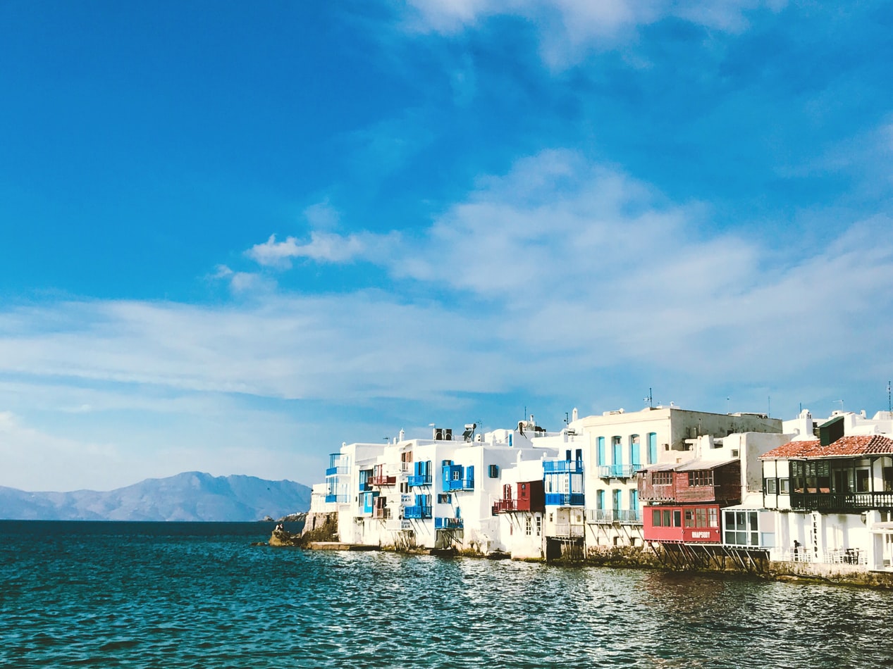
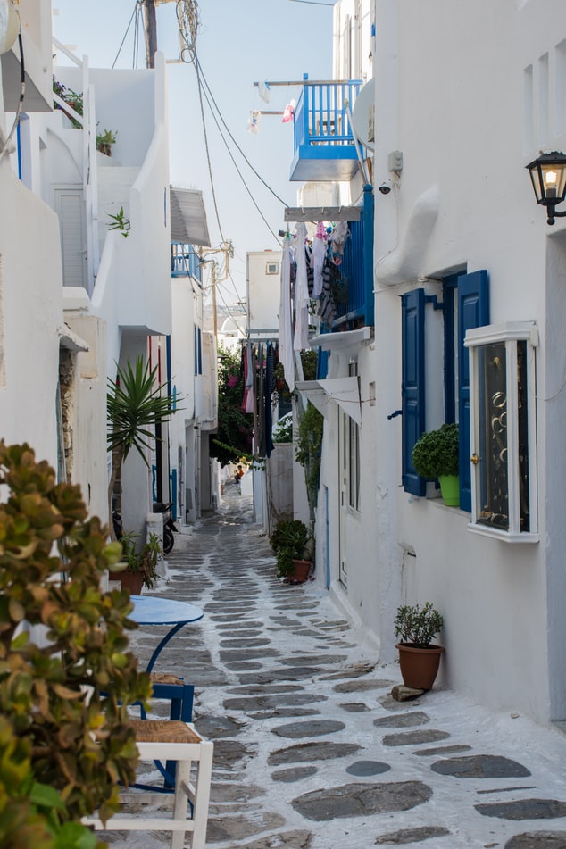
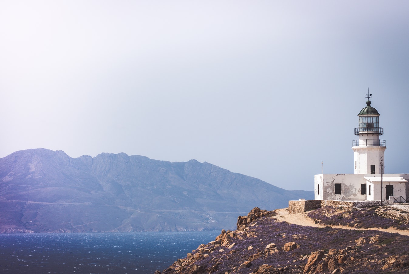
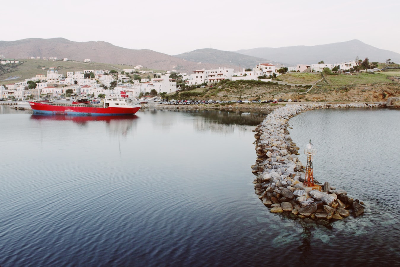
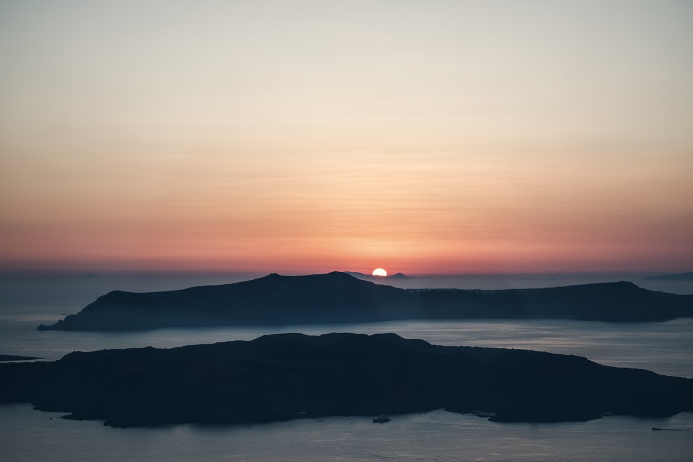
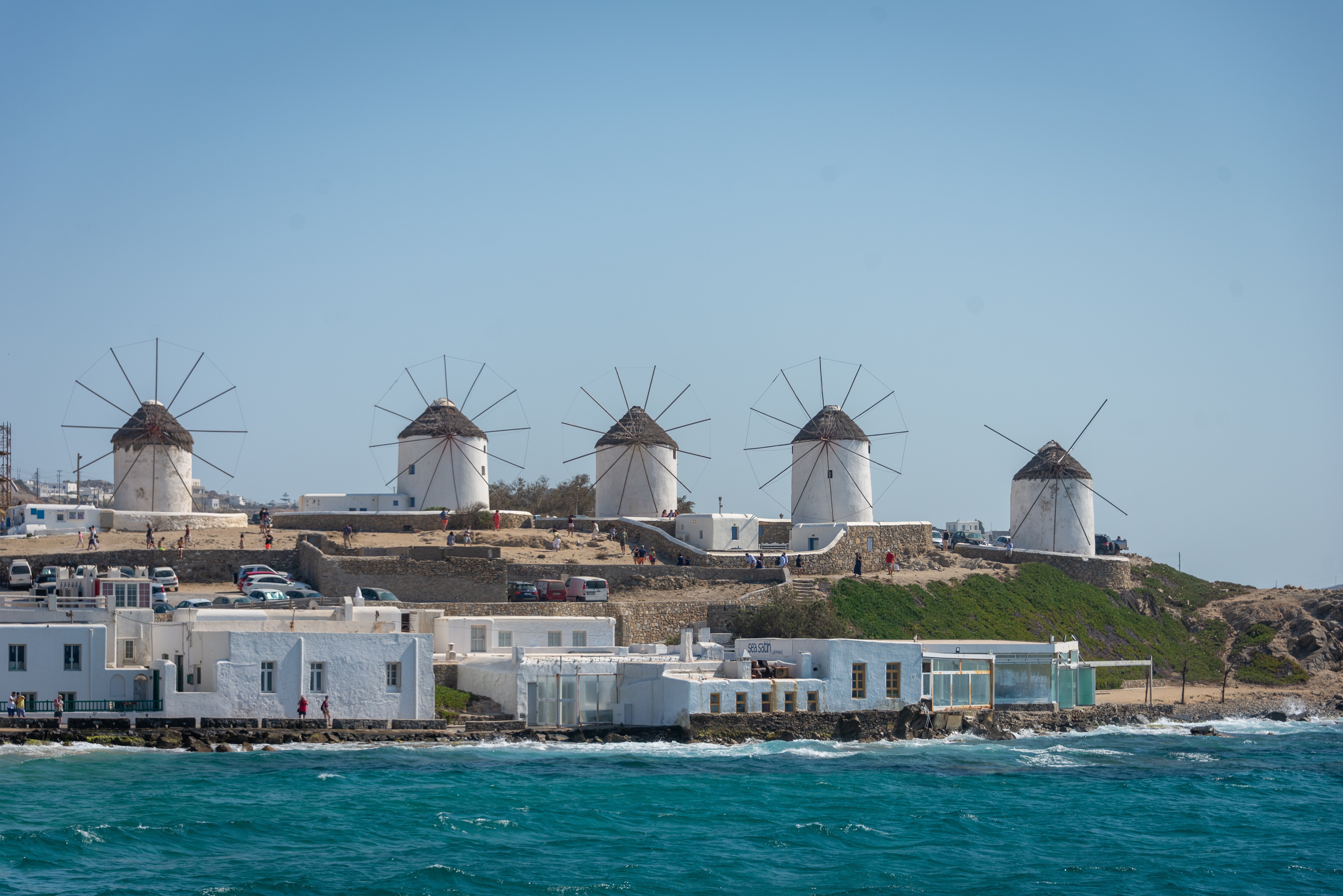
About Piraeus
It's no wonder that all roads lead to the fascinating and maddening metropolis of Athens. Lift your eyes 200 feet above the city to the Parthenon, its honey-color marble columns rising from a massive limestone base, and you behold architectural perfection that has not been surpassed in 2,500 years. But, today, this shrine of classical form dominates a 21st-century boomtown. To experience Athens—Athína in Greek—fully is to understand the essence of Greece: ancient monuments surviving in a sea of cement, startling beauty amid the squalor, tradition juxtaposed with modernity. Locals depend on humor and flexibility to deal with the chaos; you should do the same. The rewards are immense. Although Athens covers a huge area, the major landmarks of the ancient Greek, Roman, and Byzantine periods are close to the modern city center. You can easily walk from the Acropolis to many other key sites, taking time to browse in shops and relax in cafés and tavernas along the way. From many quarters of the city you can glimpse "the glory that was Greece" in the form of the Acropolis looming above the horizon, but only by actually climbing that rocky precipice can you feel the impact of the ancient settlement. The Acropolis and Filopappou, two craggy hills sitting side by side; the ancient Agora (marketplace); and Kerameikos, the first cemetery, form the core of ancient and Roman Athens. Along the Unification of Archaeological Sites promenade, you can follow stone-paved, tree-lined walkways from site to site, undisturbed by traffic. Cars have also been banned or reduced in other streets in the historical center. In the National Archaeological Museum, vast numbers of artifacts illustrate the many millennia of Greek civilization; smaller museums such as the Goulandris Museum of Cycladic Art Museum and the Byzantine and Christian Museum illuminate the history of particular regions or periods. Athens may seem like one huge city, but it is really a conglomeration of neighborhoods with distinctive characters. The Eastern influences that prevailed during the 400-year rule of the Ottoman Empire are still evident in Monastiraki, the bazaar area near the foot of the Acropolis. On the northern slope of the Acropolis, stroll through Plaka (if possible by moonlight), an area of tranquil streets lined with renovated mansions, to get the flavor of the 19th-century's gracious lifestyle. The narrow lanes of Anafiotika, a section of Plaka, thread past tiny churches and small, color-washed houses with wooden upper stories, recalling a Cycladic island village. In this maze of winding streets, vestiges of the older city are everywhere: crumbling stairways lined with festive tavernas; dank cellars filled with wine vats; occasionally a court or diminutive garden, enclosed within high walls and filled with magnolia trees and the flaming trumpet-shaped flowers of hibiscus bushes. Formerly run-down old quarters, such as Thission, Gazi and Psirri, popular nightlife areas filled with bars and mezedopoleia (similar to tapas bars), are now in the process of gentrification, although they still retain much of their original charm, as does the colorful produce and meat market on Athinas. The area around Syntagma Square, the tourist hub, and Omonia Square, the commercial heart of the city about 1 km (½ mi) northwest, is distinctly European, having been designed by the court architects of King Otho, a Bavarian, in the 19th century. The chic shops and bistros of ritzy Kolonaki nestle at the foot of Mt. Lycabettus, Athens's highest hill (909 feet). Each of Athens's outlying suburbs has a distinctive character: in the north is wealthy, tree-lined Kifissia, once a summer resort for aristocratic Athenians, and in the south and southeast lie Glyfada, Voula, and Vouliagmeni, with their sandy beaches, seaside bars, and lively summer nightlife. Just beyond the city's southern fringes is Piraeus, a bustling port city of waterside fish tavernas and Saronic Gulf views.

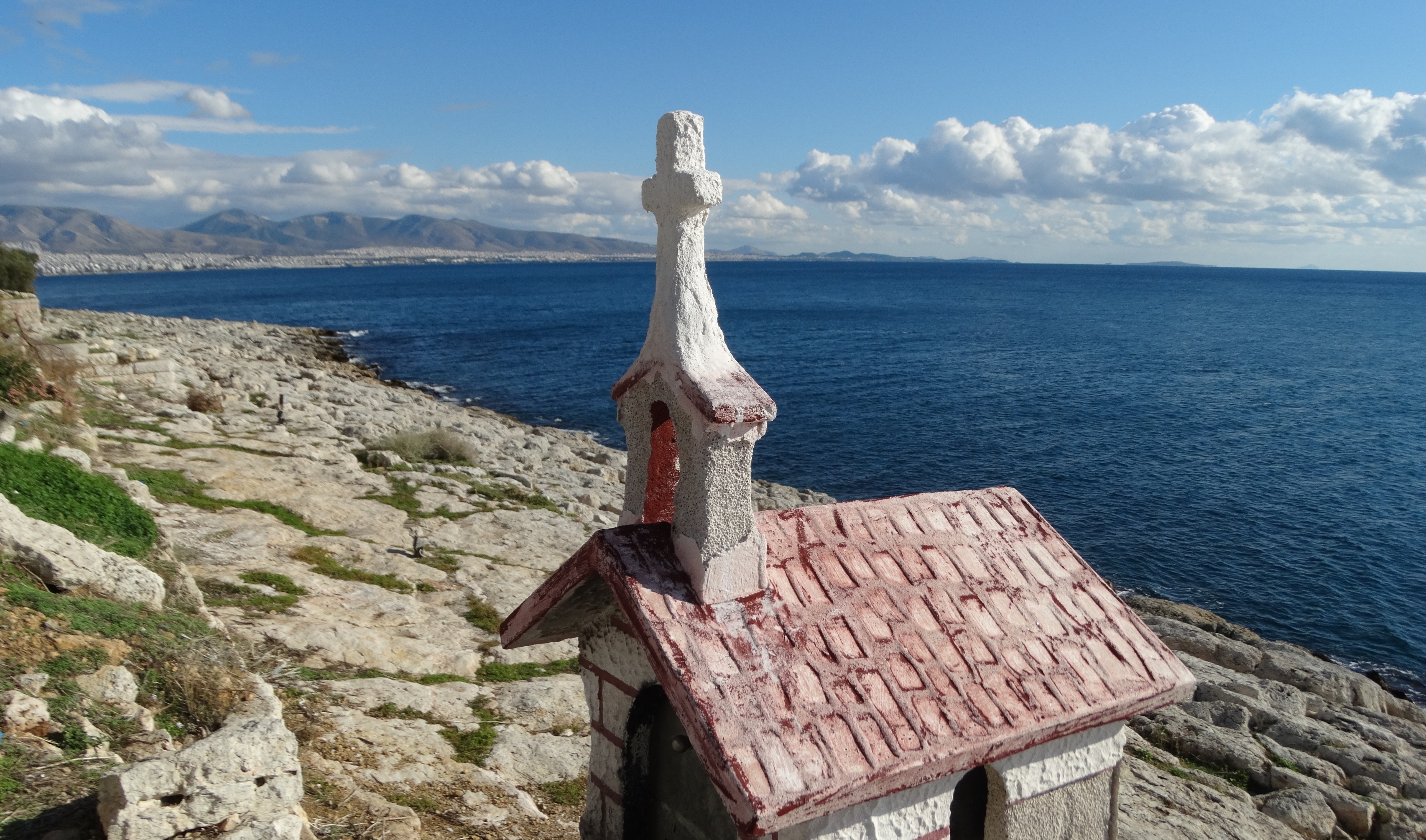
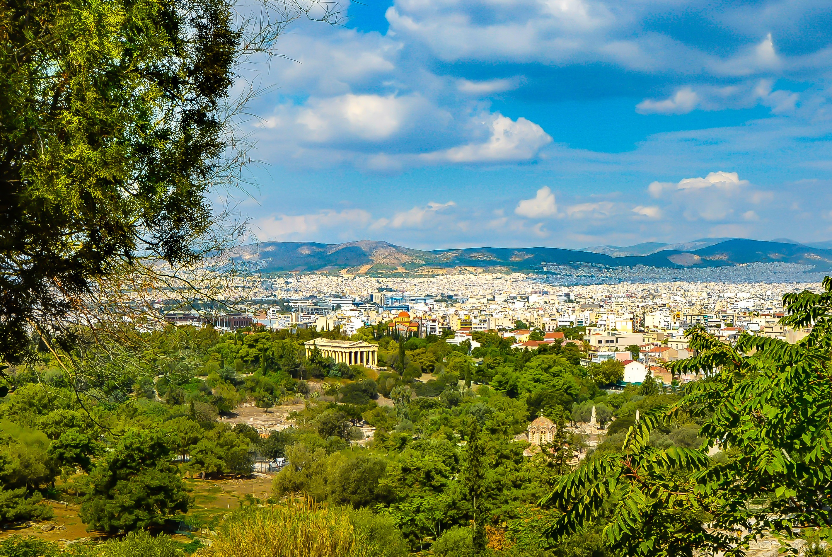
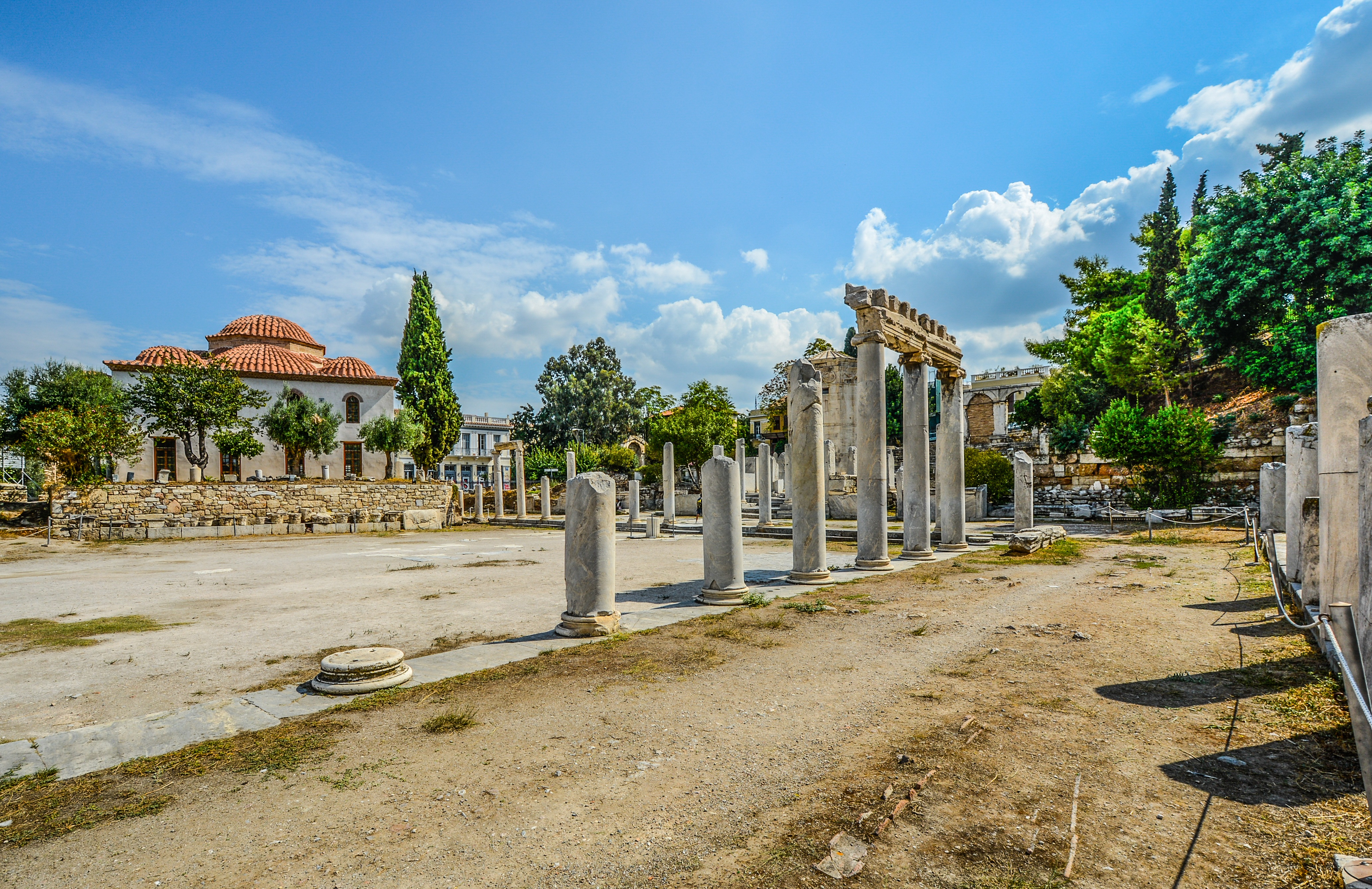
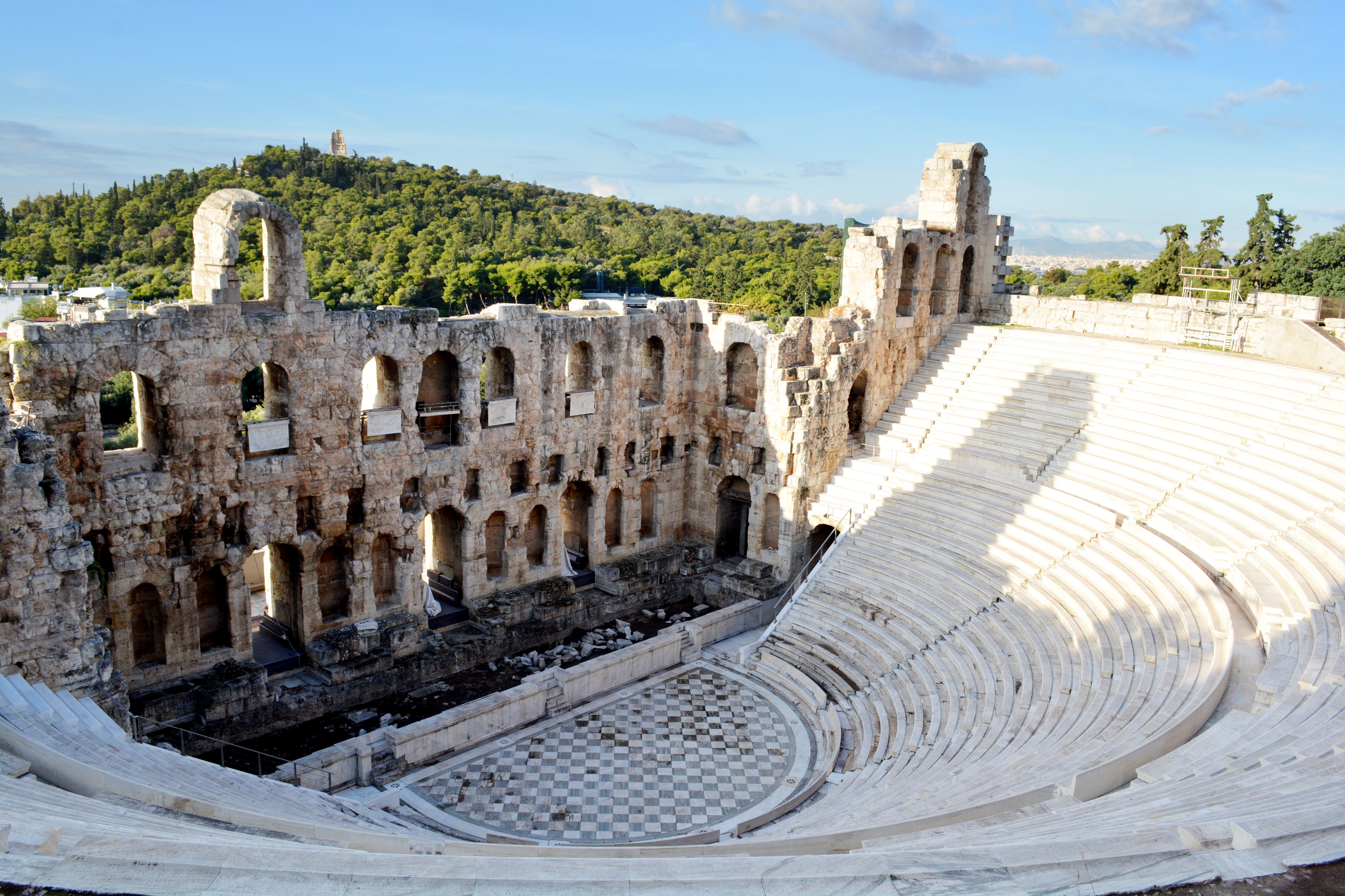
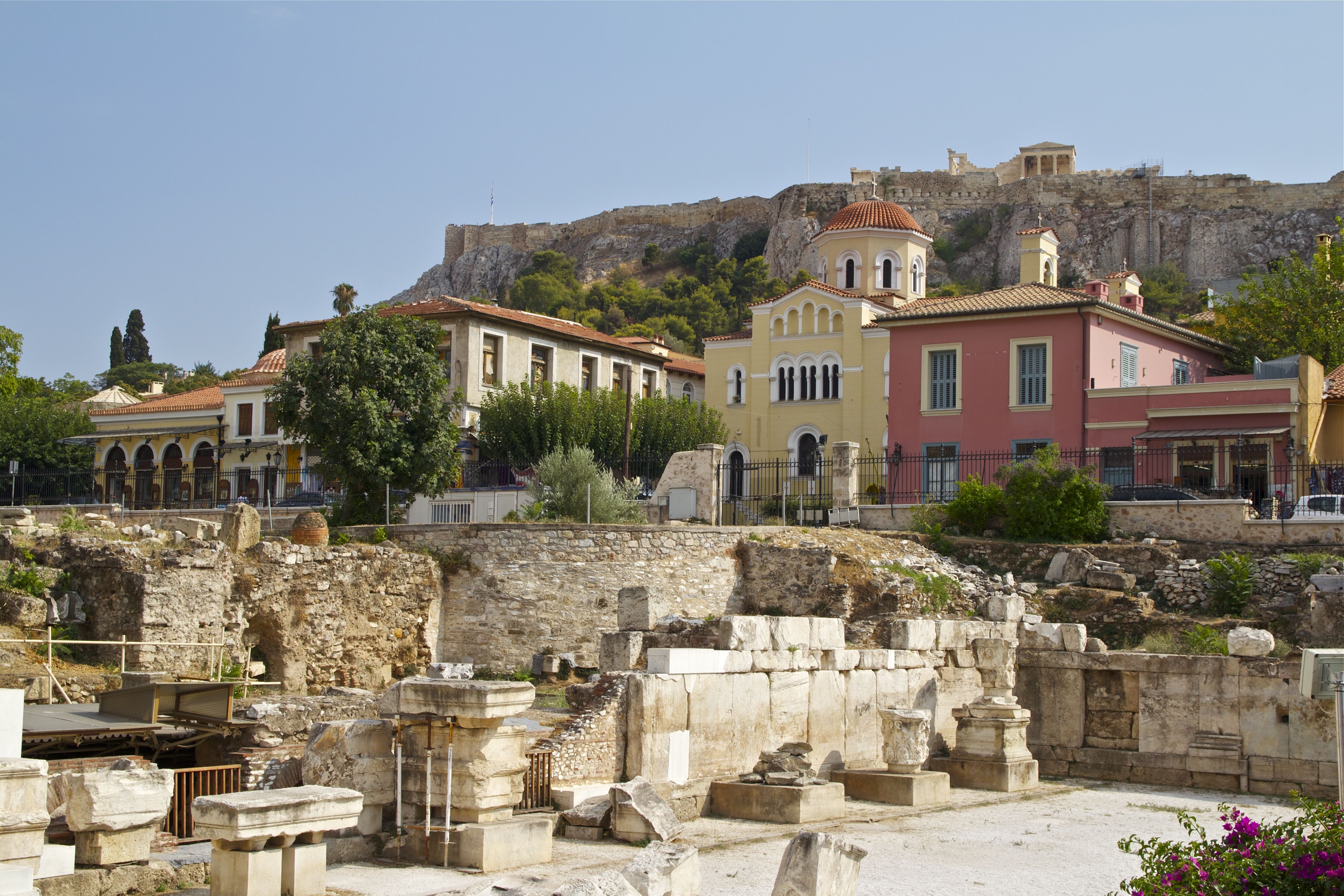
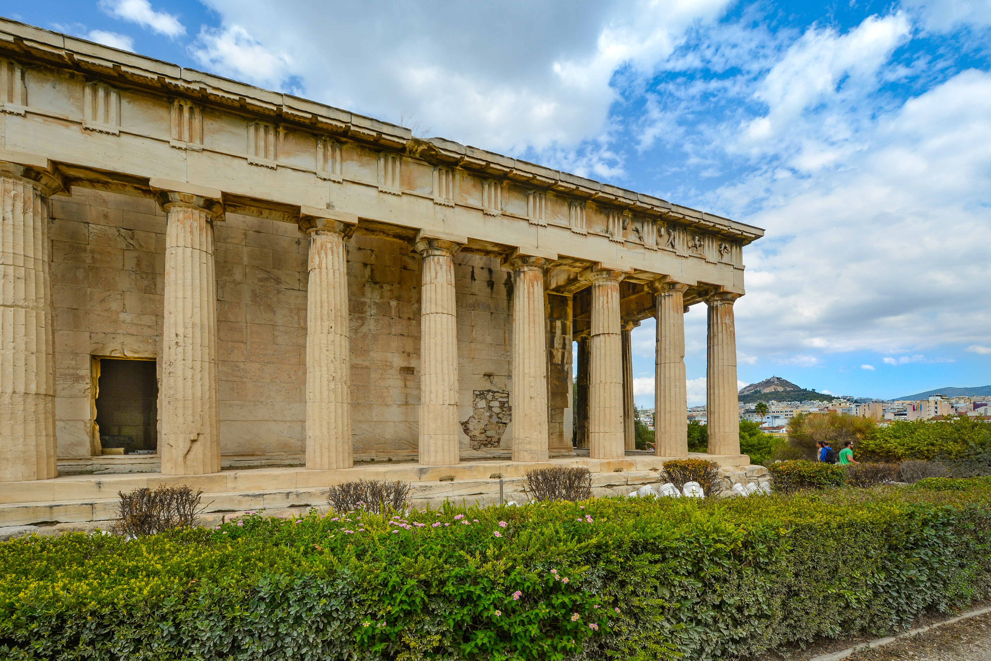
About Milos
Milos or Melos is a volcanic Greek island in the Aegean Sea, just north of the Sea of Crete. Milos is the southwesternmost island in the Cyclades group. The Venus de Milo and the Asclepius of Milos were both found on the island, as were a Poseidon and an archaic Apollo now in Athens.
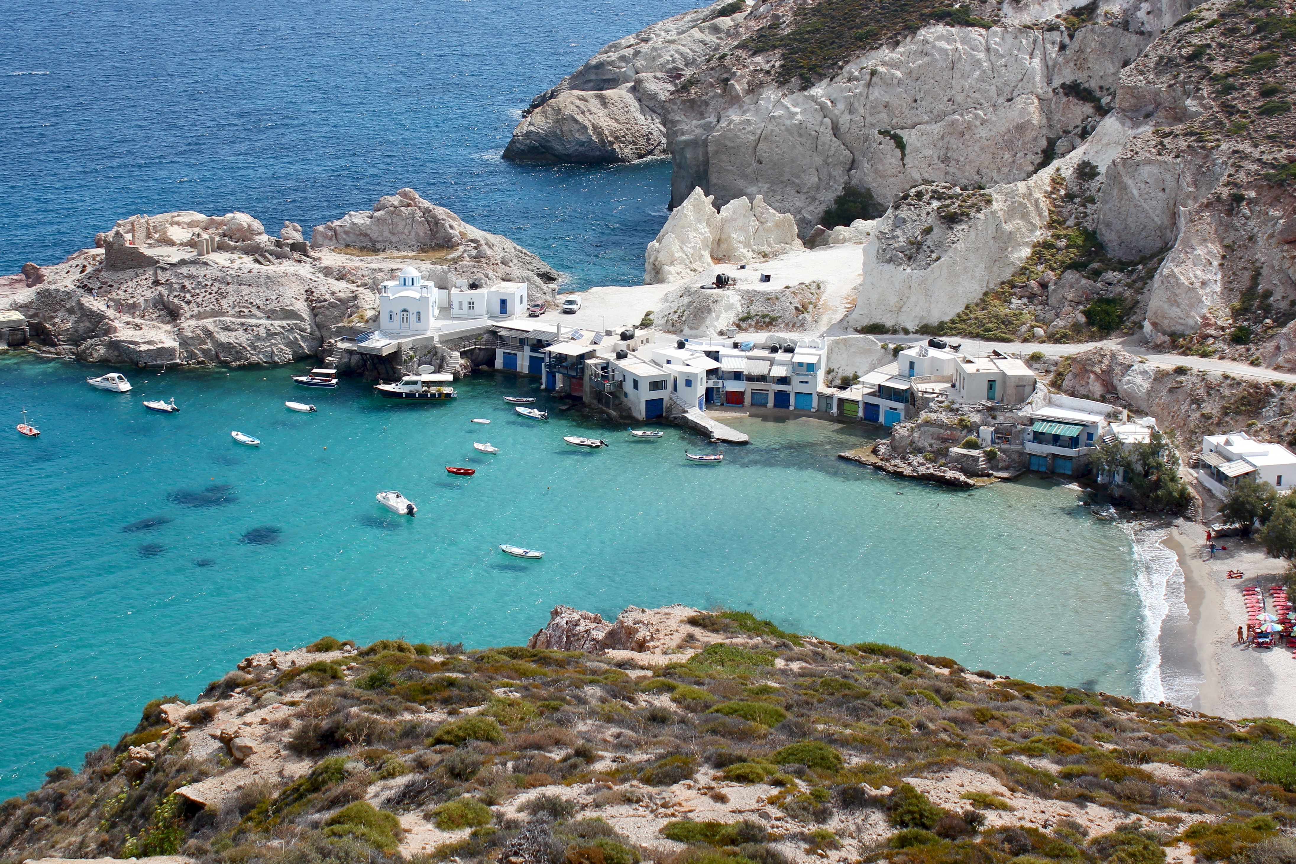
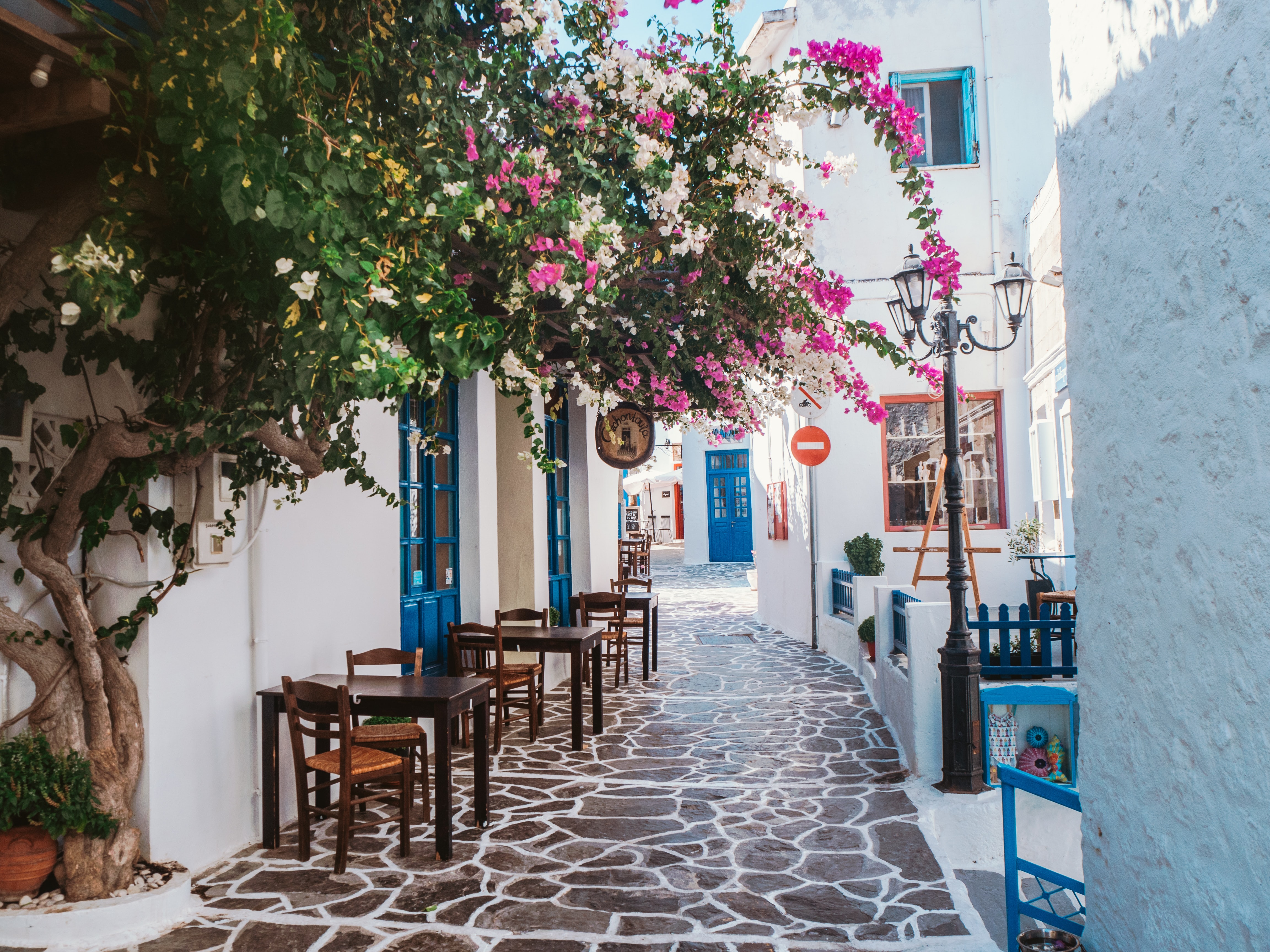

About Fiskárdo
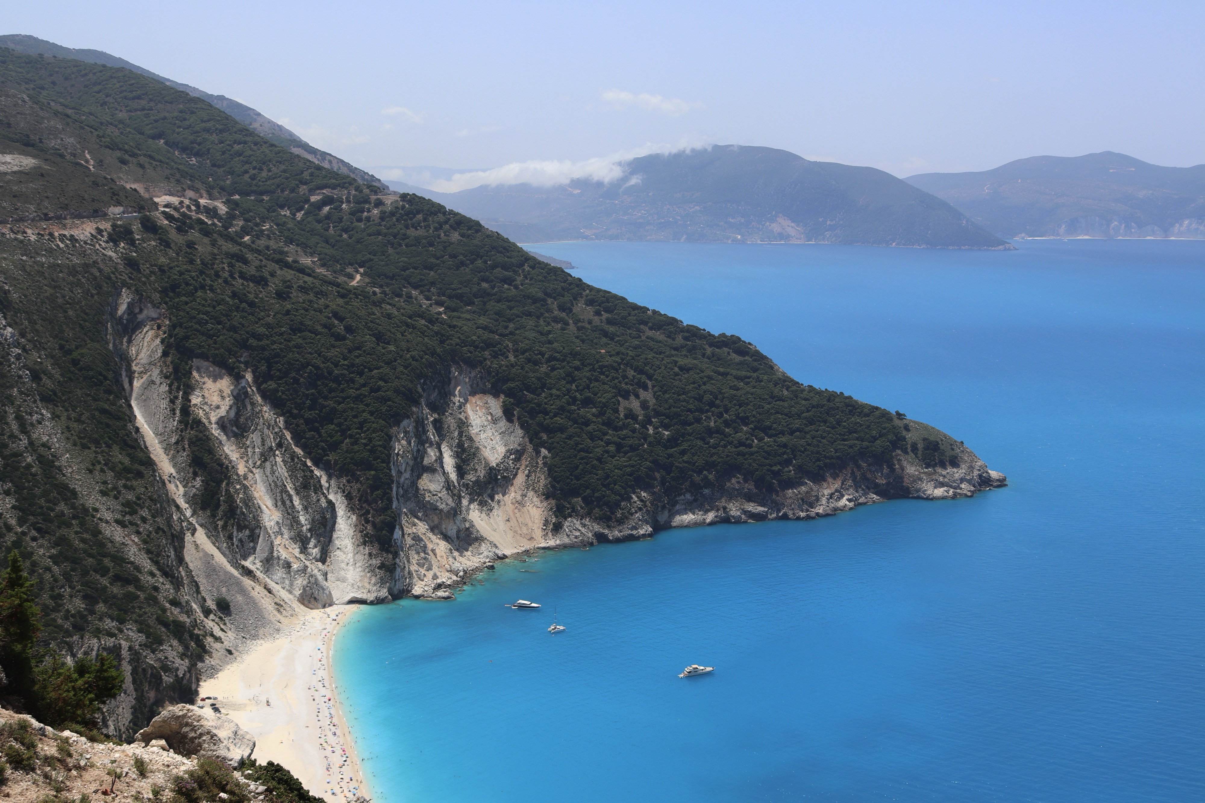
About Tropea
About Capri
Tour description Capri, Italy Popular since Roman times when the emperors built their villas on Capri, this island is surely one of the world's most famous and beautiful spots. Visiting Capri, it is easy to see why the ancient Romans fell in love with this place 2,000 years ago - the craggy mountains, the sea caves and grottos and the brilliantly colored flowers cast a magic spell then and still capture the admiration of today's travelers. There are sleek yachts moored in the deep blue waters of the bays, and beautiful villas and tiny villages cling to steep slopes. An excellent year-round climate and a breathtaking landscape complete the picture of a storybook island. There are two main villages - Capri Town, site of the popular meeting point "Piazzetta," and Anacapri, the upper town, dominated by 1,750-foot-high Monte Solaro, the highest point on the island. Both remain the "in" scene for international travelers. By spending millions on comfort and style, the island has ensured its continuing success. After a trip to upper-level Anacapri, visitors enjoy strolling the narrow, cobbled streets of Capri Town, browsing in chic boutiques and spending time in the Piazzetta with a drink in one of the outdoor cafés. There is a funicular from the main port of Marina Grande to Capri Town; from Anacapri, a chair lift whisks visitors to the top of Monte Solaro for a spellbinding view. The magical Blue Grotto can be reached by boat from Marina Grande, but entrance into the grotto depends for the most part on sea conditions. Please Note: For your convenience, the shore excursions offered for this port of call are available to reserve in advance at www.silversea.com until August 8 , as well as offered for purchase on board, unless otherwise noted in the description. Going Ashore in Capri Pier Information The ship is scheduled to anchor off Capri's main port, Marina Grande. Guests will be taken ashore via local tenders, arriving at the pier just a short distance from the funicular to Capri Town. Taxis and minibuses are also available near the pier area. Be sure to agree on the fare before starting out. Shopping Capri is a shopping mecca, though by no means inexpensive. Upscale shops and boutiques offer an array of jewelry, designer fashions, resort wear, straw articles and souvenir items. Start from the Piazzetta and the streets fanning out from the square. Some shops may be closed between 12:30/1:00 p.m. and 4:00/4:30 p.m. The local currency is the euro. Cuisine Capri features plenty of open-air eateries in addition to top rated restaurants. Fresh seafood and delicious pasta dishes make for a nice lunch; for a quick meal there are tempting sandwiches and pizza. You might enjoy a hearty Italian table wine with lunch. Other Sights Capri Town La Piazzetta is the main square of Capri Town located just opposite the upper funicular station. The square is an ideal place from where to start exploring or shopping. Sidewalk cafés around the square provide residents and visitors with a popular pastime - people-watching while sipping a drink or enjoying a coffee. Anacapri Reaching Capri's second town is via local minibus. In addition to numerous souvenir shops and designer boutiques, attractions include Axel Munthe's Villa San Michele and the chair lift to Monte Solaro. Blue Grotto Boat excursions to the Blue Grotto can be booked locally at Marina Grande. Be aware that it is necessary to transfer into smaller boats in front of the grotto. Also, entrance to the grotto is subject to weather and sea conditions. For this reason, tours to the Blue Grotto are frequently cancelled. Private arrangements are not available in this port.
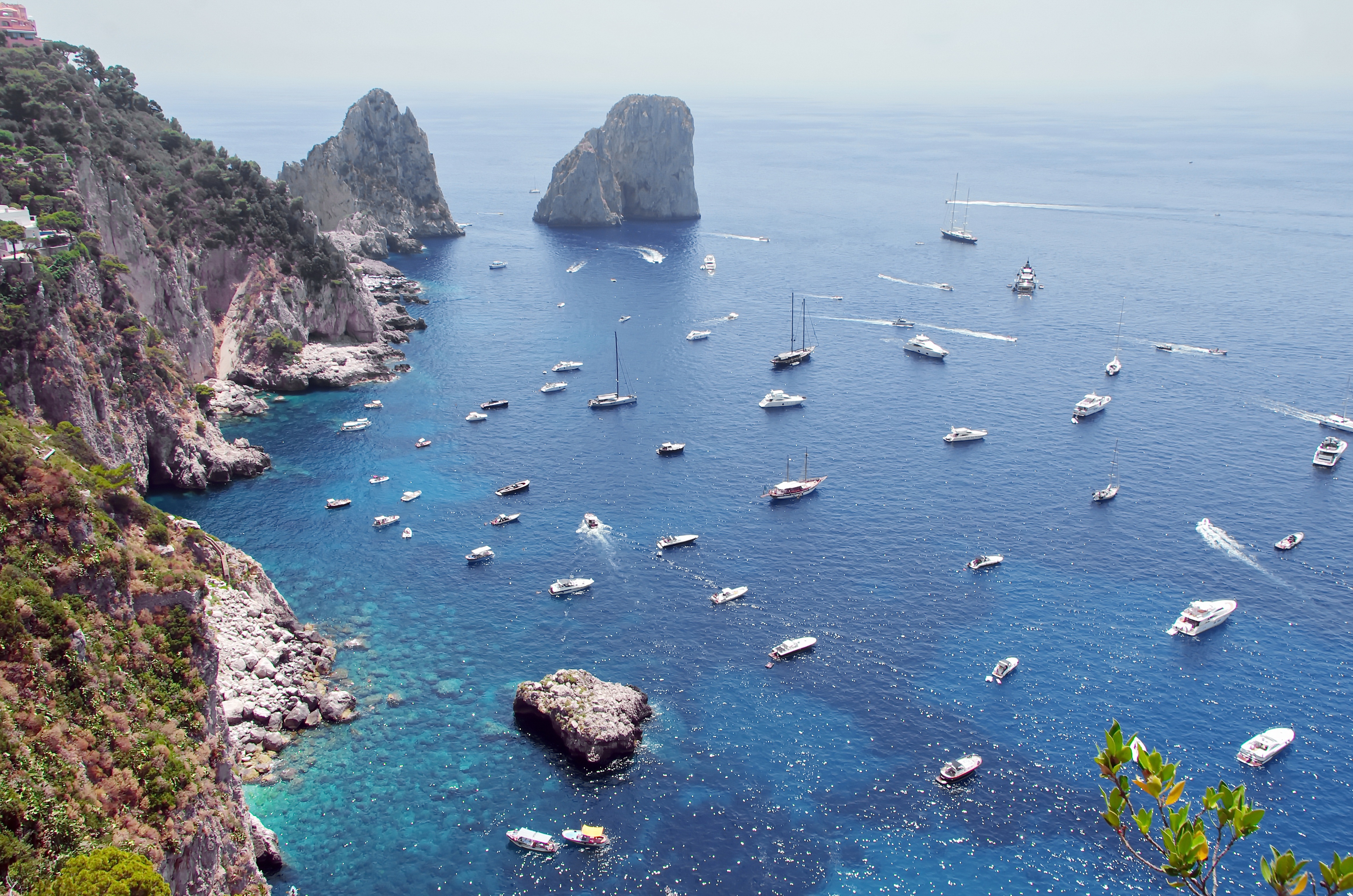
About Porto Santo Stefano
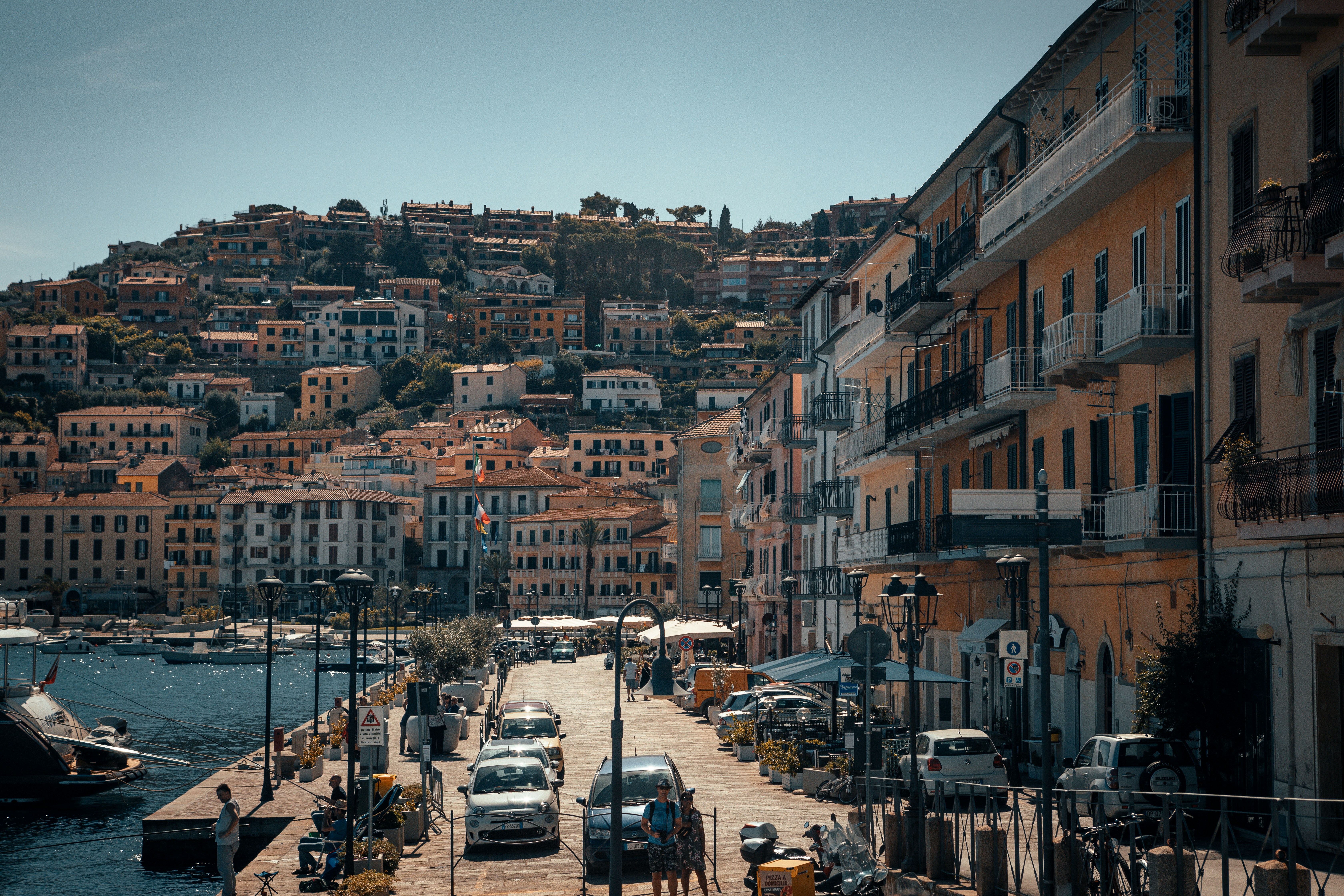
About Livorno
Livorno is a gritty city with a long and interesting history. In the early Middle Ages it alternately belonged to Pisa and Genoa. In 1421 Florence, seeking access to the sea, bought it. Cosimo I (1519–74) started construction of the harbor in 1571, putting Livorno on the map. After Ferdinando I de' Medici (1549–1609) proclaimed Livorno a free city, it became a haven for people suffering from religious persecution; Roman Catholics from England and Jews and Moors from Spain and Portugal, among others, settled here. The Quattro Mori (Four Moors), also known as the Monument to Ferdinando I, commemorates this. (The statue of Ferdinando I dates from 1595, the bronze Moors by Pietro Tacca from the 1620s.)In the following centuries, and particularly in the 18th, Livorno boomed as a port. In the 19th century the town drew a host of famous Britons passing through on their grand tours. Its prominence continued up to World War II, when it was heavily bombed. Much of the town's architecture, therefore, postdates the war, and it's somewhat difficult to imagine what it might have looked like before. Livorno has recovered from the war, however, as it's become a huge point of departure for container ships, as well as the only spot in Tuscany for cruise ships to dock for the day.Most of Livorno's artistic treasures date from the 17th century and aren't all that interesting unless you dote on obscure baroque artists. Livorno's most famous native artist, Amedeo Modigliani (1884–1920), was of much more recent vintage. Sadly, there's no notable work by him in his hometown.There may not be much in the way of art, but it's still worth strolling around the city. The Mercato Nuovo, which has been around since 1894, sells all sorts of fruits, vegetables, grains, meat, and fish. Outdoor markets nearby are also chock-full of local color. The presence of Camp Darby, an American military base just outside town, accounts for the availability of many American products.If you have time, Livorno is worth a stop for lunch or dinner at the very least.
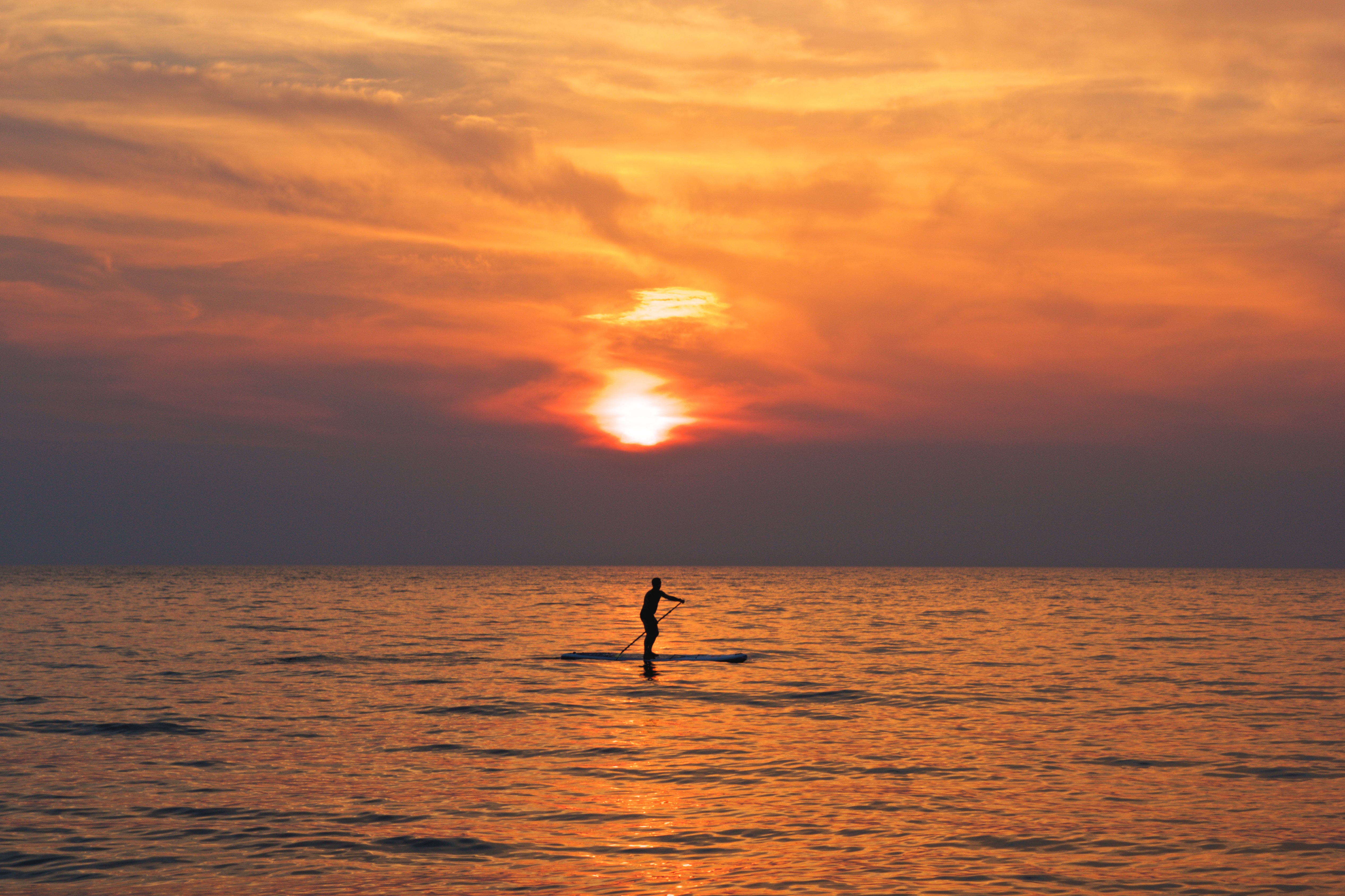
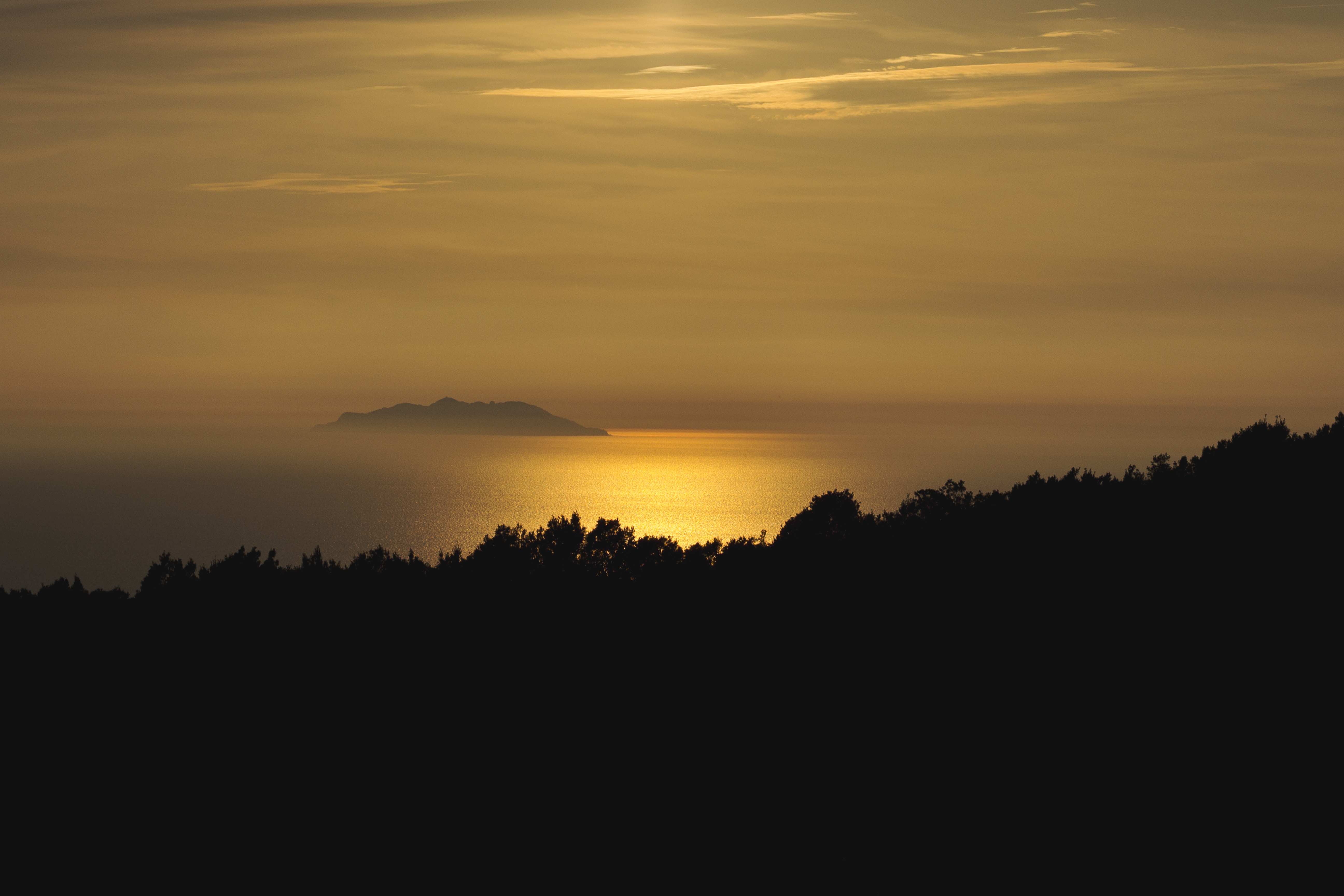
About Monte-Carlo
On one of the best stretches of the Mediterranean, this classic luxury destination is one of the most sought-after addresses in the world. With all the high-rise towers you have to look hard to find the Belle Époque grace of yesteryear. But if you head to the town's great 1864 landmark Hôtel de Paris—still a veritable crossroads of the buffed and befurred Euro-gentry—or enjoy a grand bouffe at its famous Louis XV restaurant, or attend the opera, or visit the ballrooms of the casino, you may still be able to conjure up Monaco's elegant past. Prince Albert II, a political science graduate from Amherst College, traces his ancestry to Otto Canella, who was born in 1070. The Grimaldi dynasty began with Otto's great-great-great-grandson, Francesco Grimaldi, also known as Frank the Rogue. Expelled from Genoa, Frank and his cronies disguised themselves as monks and in 1297 seized the fortified medieval town known today as Le Rocher (the Rock). Except for a short break under Napoléon, the Grimaldis have been here ever since, which makes them the oldest reigning family in Europe. In the 1850s a Grimaldi named Charles III made a decision that turned the Rock into a giant blue chip. Needing revenue but not wanting to impose additional taxes on his subjects, he contracted with a company to open a gambling facility. The first spin of the roulette wheel was on December 14, 1856. There was no easy way to reach Monaco then—no carriage roads or railroads—so no one came. Between March 15 and March 20, 1857, one person entered the casino—and won two francs. In 1868, however, the railroad reached Monaco, and it was filled with Englishmen who came to escape the London fog. The effects were immediate. Profits were so great that Charles eventually abolished all direct taxes. Almost overnight, a threadbare principality became an elegant watering hole for European society. Dukes (and their mistresses) and duchesses (and their gigolos) danced and dined their way through a world of spinning roulette wheels and bubbling champagne—preening themselves for nights at the opera, where such artists as Vaslav Nijinsky, Sarah Bernhardt, and Enrico Caruso came to perform. Along with the tax system, its sensational position on a broad, steep peninsula that bulges into the Mediterranean—its harbor sparkling with luxury cruisers, its posh mansions angling awnings toward the nearly perpetual sun—continues to draw the rich and famous. One of the latest French celebrities to declare himself "Monégasque," thus giving up his French passport, is superchef Alain Ducasse, who said that he made the choice out of affection for Monaco rather than tax reasons. Pleasure boats vie with luxury cruisers in their brash beauty and Titanic scale, and teams of handsome young men—themselves dyed blond and tanned to match—scour and polish every gleaming surface. As you might expect, all this glitz doesn't come cheap. Eating is expensive, and even the most modest hotels cost more here than in nearby Nice or Menton. As for taxis, they don't even have meters so you are completely at the driver's mercy (with prices skyrocketing during events such as the Grand Prix). For the frugal, Monaco is the ultimate day-trip, although parking is as coveted as a room with a view. At the very least you can afford a coffee at Starbucks. The harbor district, known as La Condamine, connects the new quarter, officially known as Monte Carlo with Monaco-Ville (or Le Rocher), a medieval town on the Rock, topped by the palace, the cathedral, and the Oceanography Museum. Have no fear that you'll need to climb countless steps to get to Monaco-Ville, as there are plenty of elevators and escalators climbing the steep cliffs. But shuttling between the lovely casino grounds of Monte Carlo and Old Monaco, separated by a vast port, is a daunting proposition for ordinary mortals without wings, so hop on the No. 1 bus from Saint Roman, or No. 2 from the Jardin Exotique - Both stop at Place du Casino and come up to Monaco Ville.
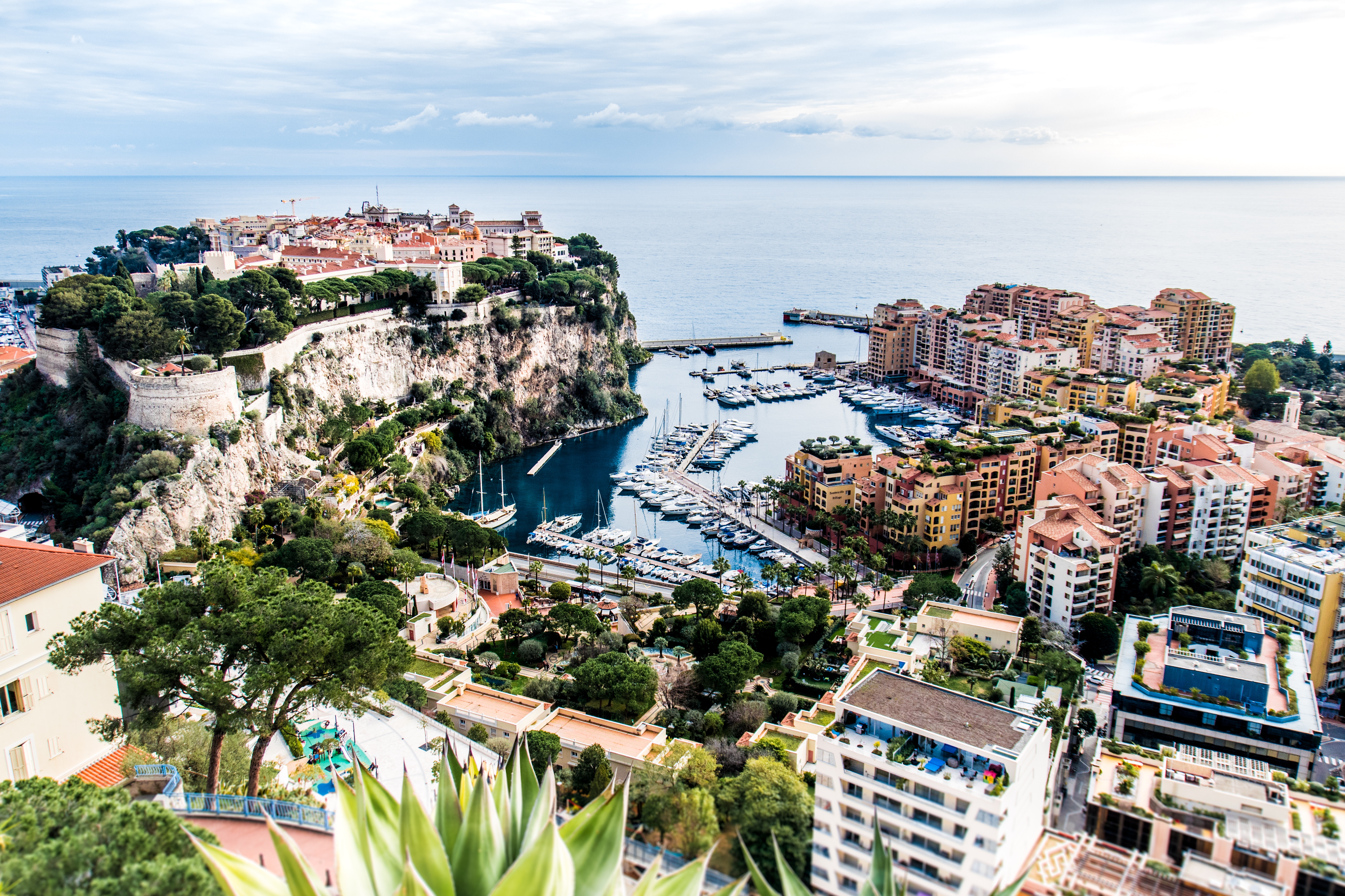
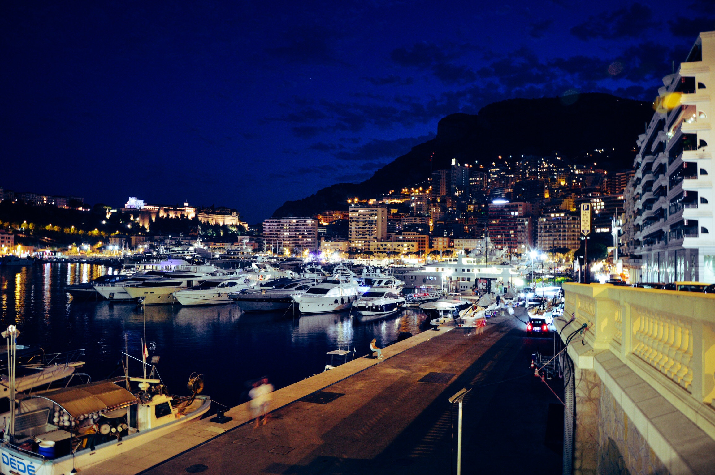
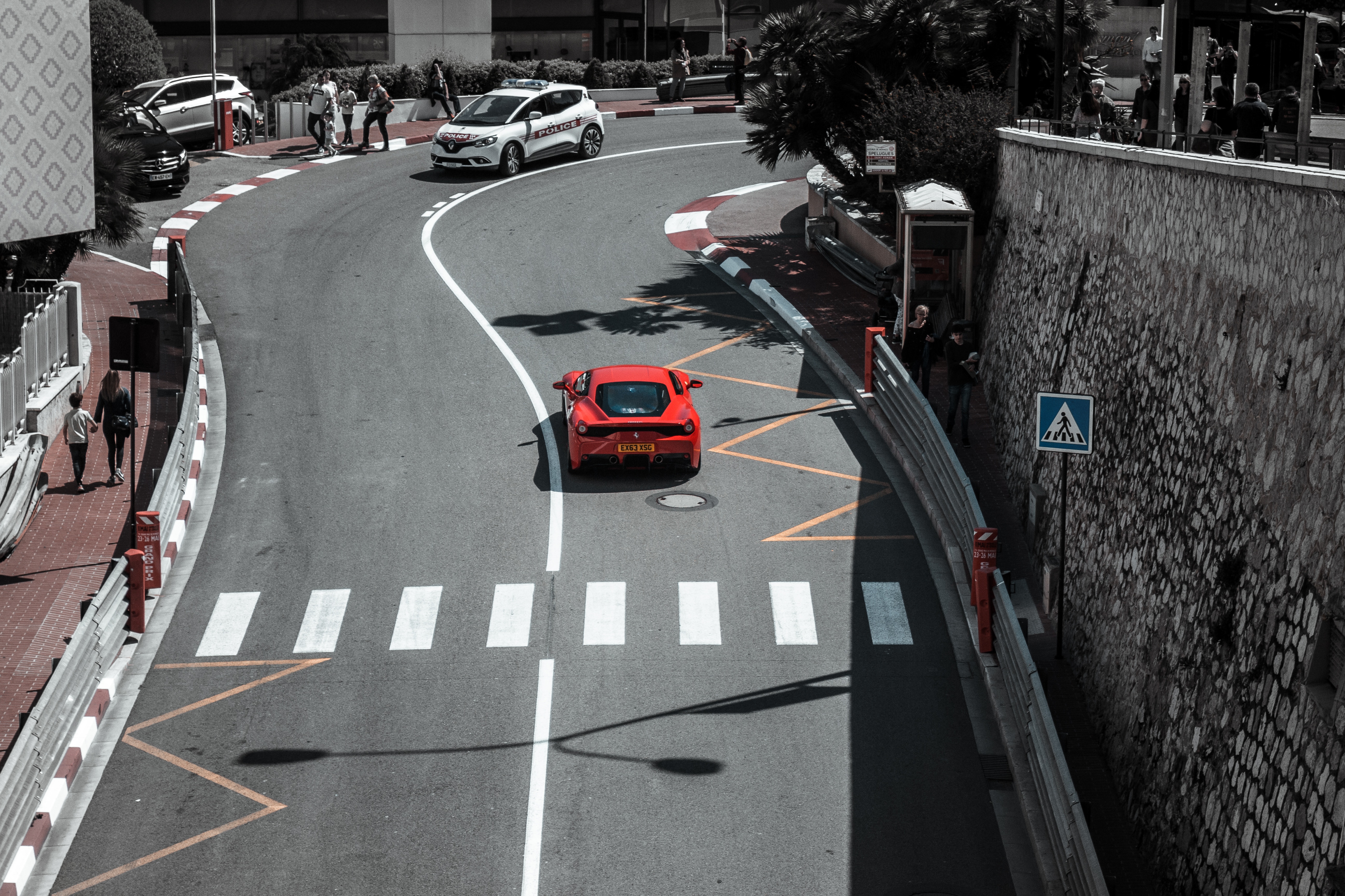
About Saint-Tropez
At first glance, it really doesn't look all that impressive. There's a pretty port with cafés charging €5 for a coffee and a picturesque old town in sugared-almond hues, but there are many prettier in the hills nearby. There are sandy beaches, rare enough on the Riviera, and old-fashioned squares with plane trees and pétanque players, but these are a dime a dozen throughout Provence. So what made St-Tropez an internationally known locale? Two words: Brigitte Bardot. When this pulpeuse (voluptuous) teenager showed up in St-Tropez on the arm of Roger Vadim in 1956 to film And God Created Woman, the heads of the world snapped around. Neither the gentle descriptions of writer Guy de Maupassant (1850–93), nor the watercolor tones of Impressionist Paul Signac (1863–1935), nor the stream of painters who followed (including Matisse and Bonnard) could focus the world's attention on this seaside hamlet as did this one sensual woman in a scarf, Ray-Bans, and capris. Vanity Fair ran a big article, "Saint Tropez Babylon," detailing the over-the-top petrodollar parties, megayachts, and Beyoncé–d paparazzi. But don't be turned off: the next year, Stewart, Tabori & Chang released an elegant coffee-table book, Houses of St-Tropez, packed with photos of supremely tasteful and pretty residences, many occupied by fashion designers, artists, and writers. Once a hangout for Colette, Anaïs Nin, and Françoise Sagan, the town still earns its old moniker, the "Montparnasse of the Mediterranean." Yet you might be surprised to find that this byword for billionaires is so small and insulated. The lack of train service, casinos, and chain hotels keeps it that way. Yet fame, in a sense, came too fast for St-Trop. Unlike the chic resorts farther east, it didn't have the decades-old reputation of the sort that would attract visitors all year around. For a good reason: its location on the south side of the gulf puts it at the mercy of the terrible mistral winter winds. So, in summer the crowds descend and the prices rise into the stratosphere. In July and August, you must be carefree about the sordid matter of cash. After all, at the most Dionysian nightclub in town, a glass of tap water goes for $37 and when the mojo really gets going, billionaires think nothing of "champagne-spraying" the partying crowds—think World Series celebrations but with $1,000 bottles of Roederer Cristal instead of Gatorade. Complaining about summer crowds, overpricing, and lack of customer service has become a tourist sport and yet this is what makes St-Tropez—described by the French daily newspaper Le Figaro as the place you can see "the greatest number of faces per square meter"—as intriguing as it is seductive.
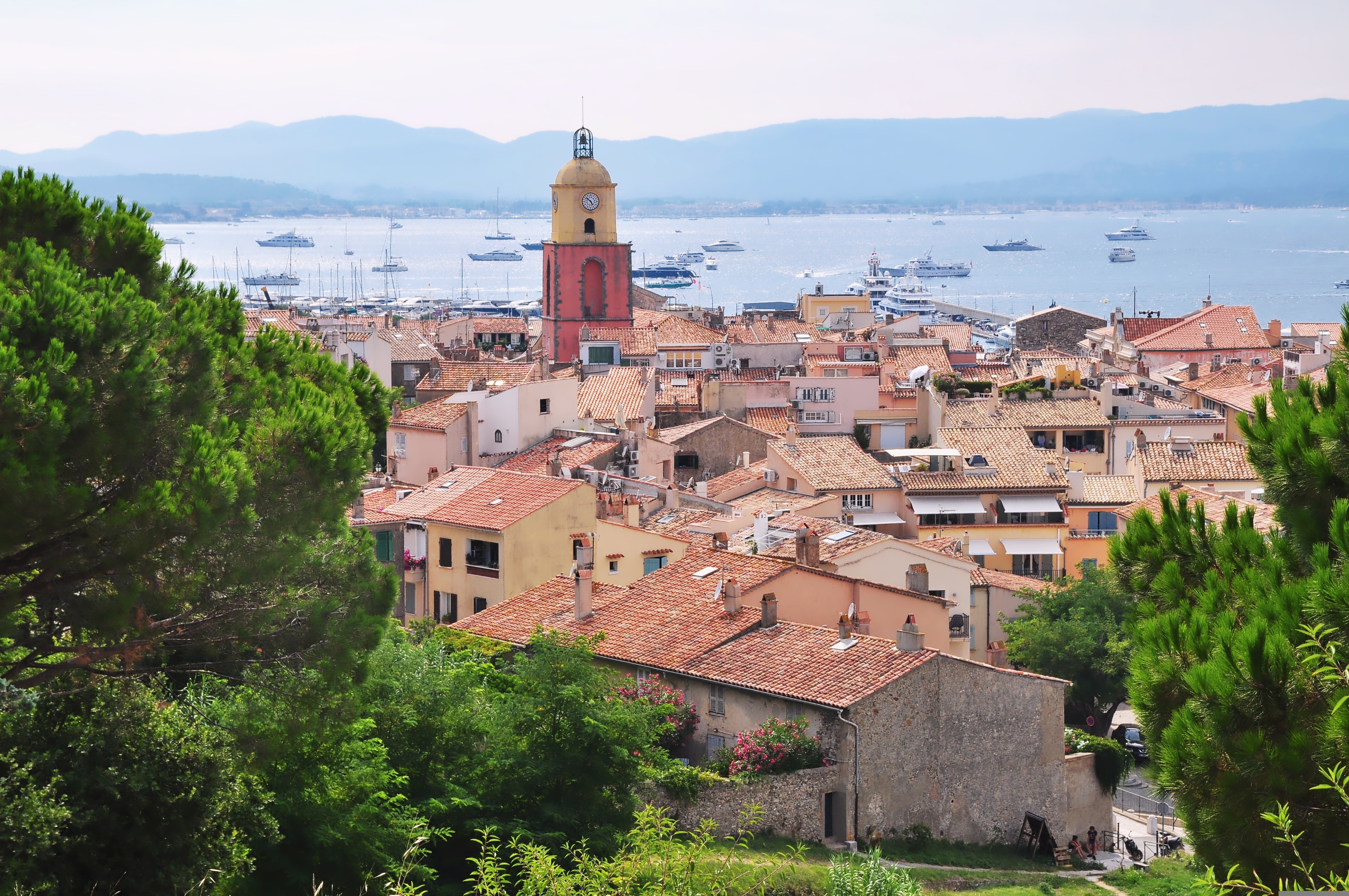
About Port-Vendres
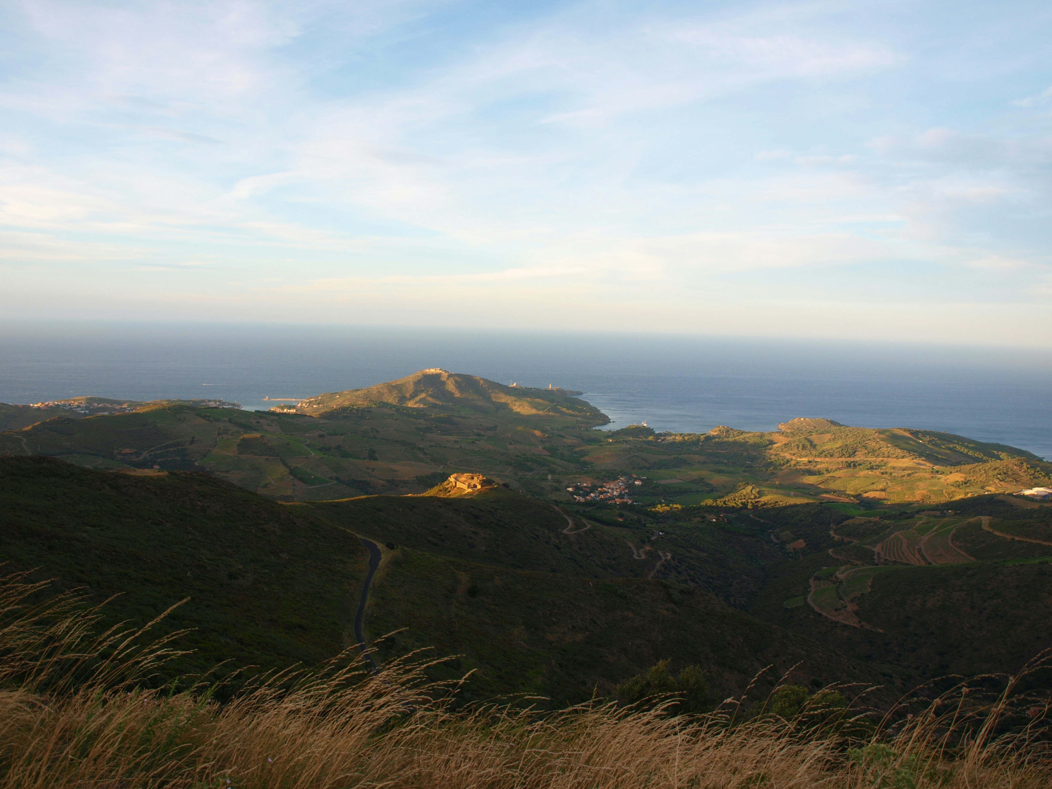
About Barcelona
The infinite variety of street life, the nooks and crannies of the medieval Barri Gòtic, the ceramic tile and stained glass of Art Nouveau facades, the art and music, the throb of street life, the food (ah, the food!)—one way or another, Barcelona will find a way to get your full attention. The capital of Catalonia is a banquet for the senses, with its beguiling mix of ancient and modern architecture, tempting cafés and markets, and sun-drenched Mediterranean beaches. A stroll along La Rambla and through waterfront Barceloneta, as well as a tour of Gaudí's majestic Sagrada Famíliaand his other unique creations, are part of a visit to Spain's second-largest city. Modern art museums and chic shops call for attention, too. Barcelona's vibe stays lively well into the night, when you can linger over regional wine and cuisine at buzzing tapas bars.
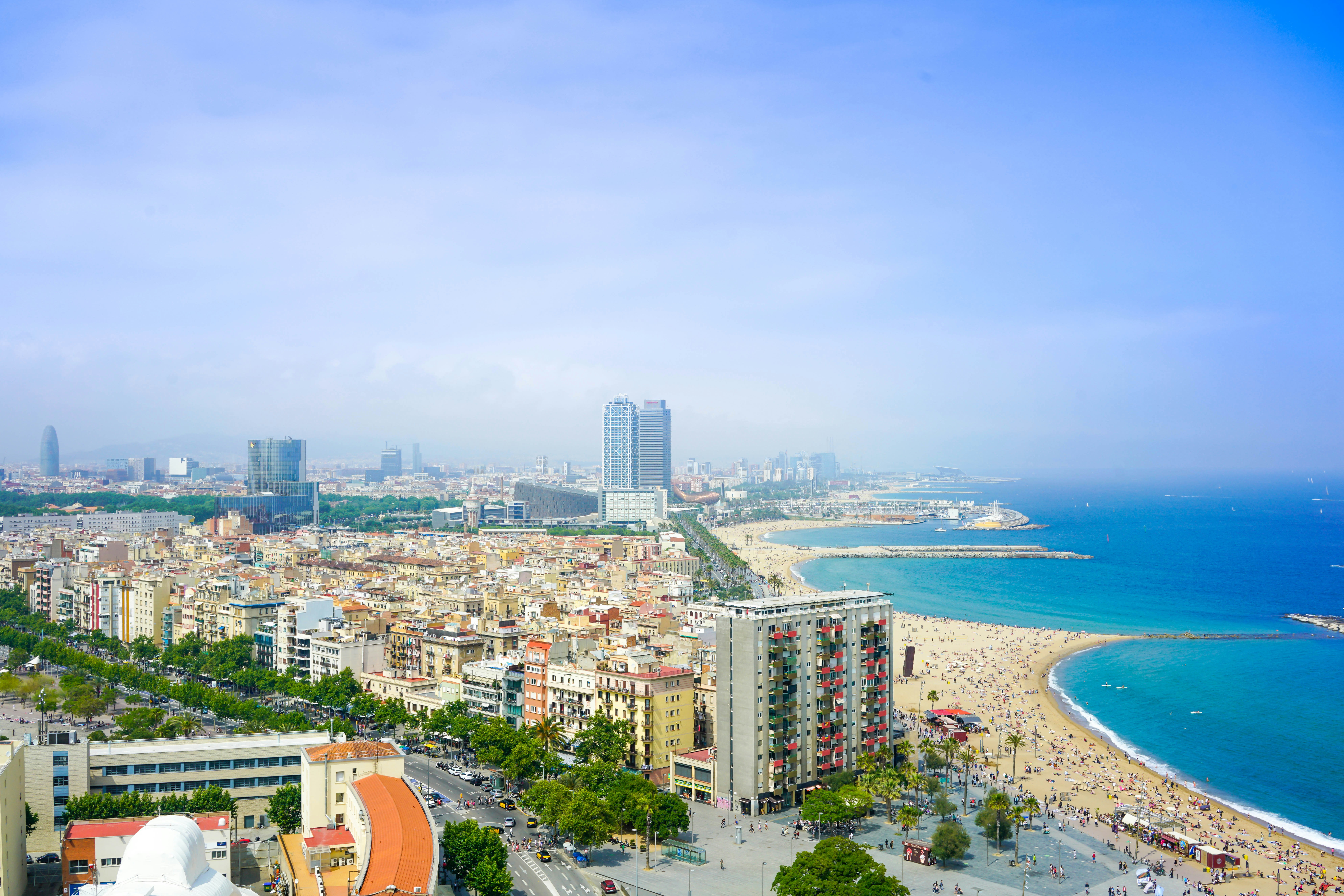
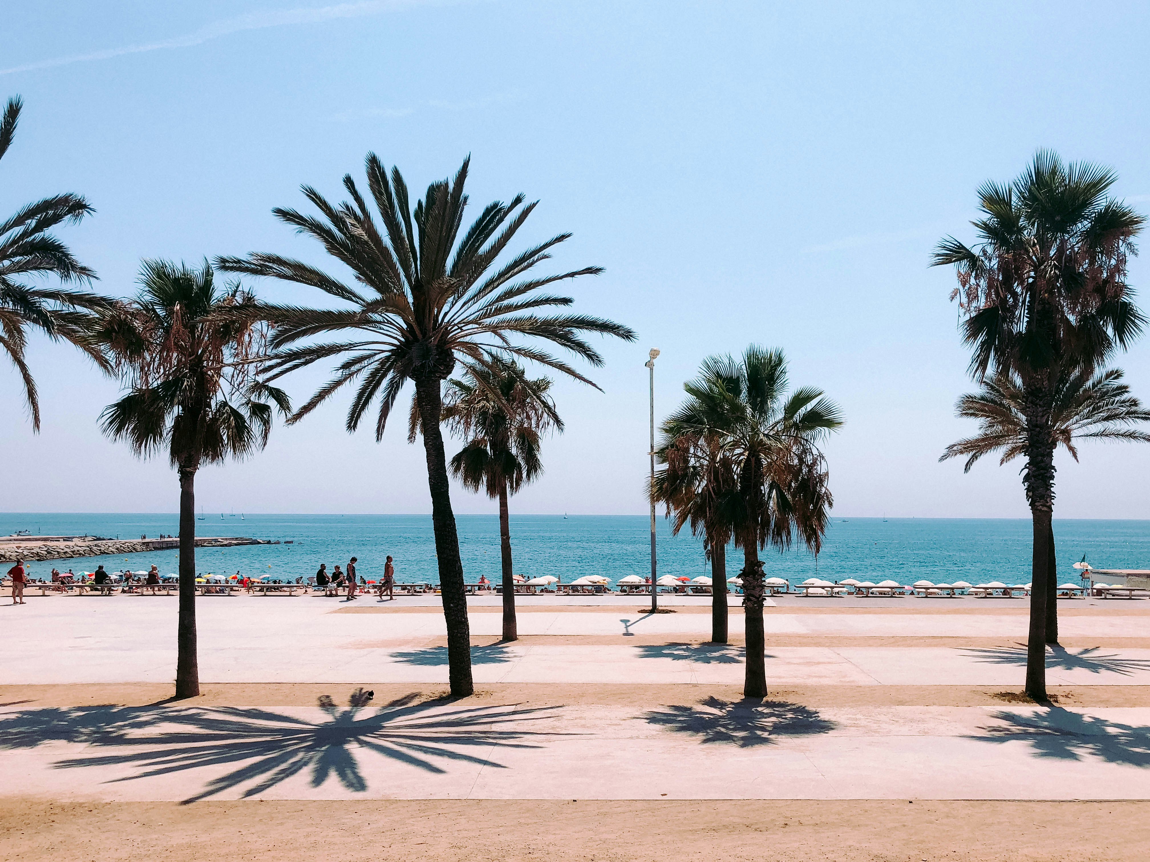
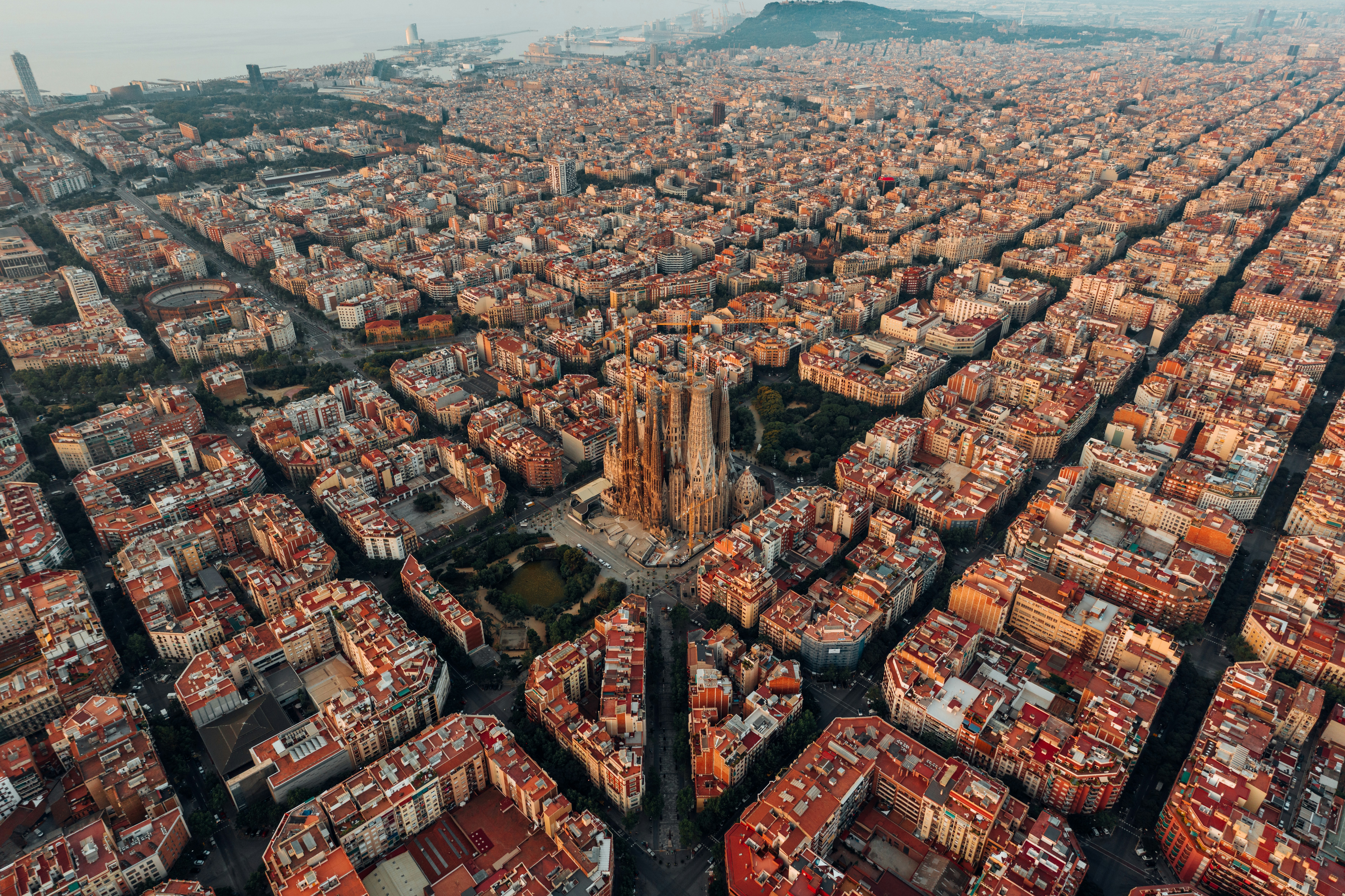
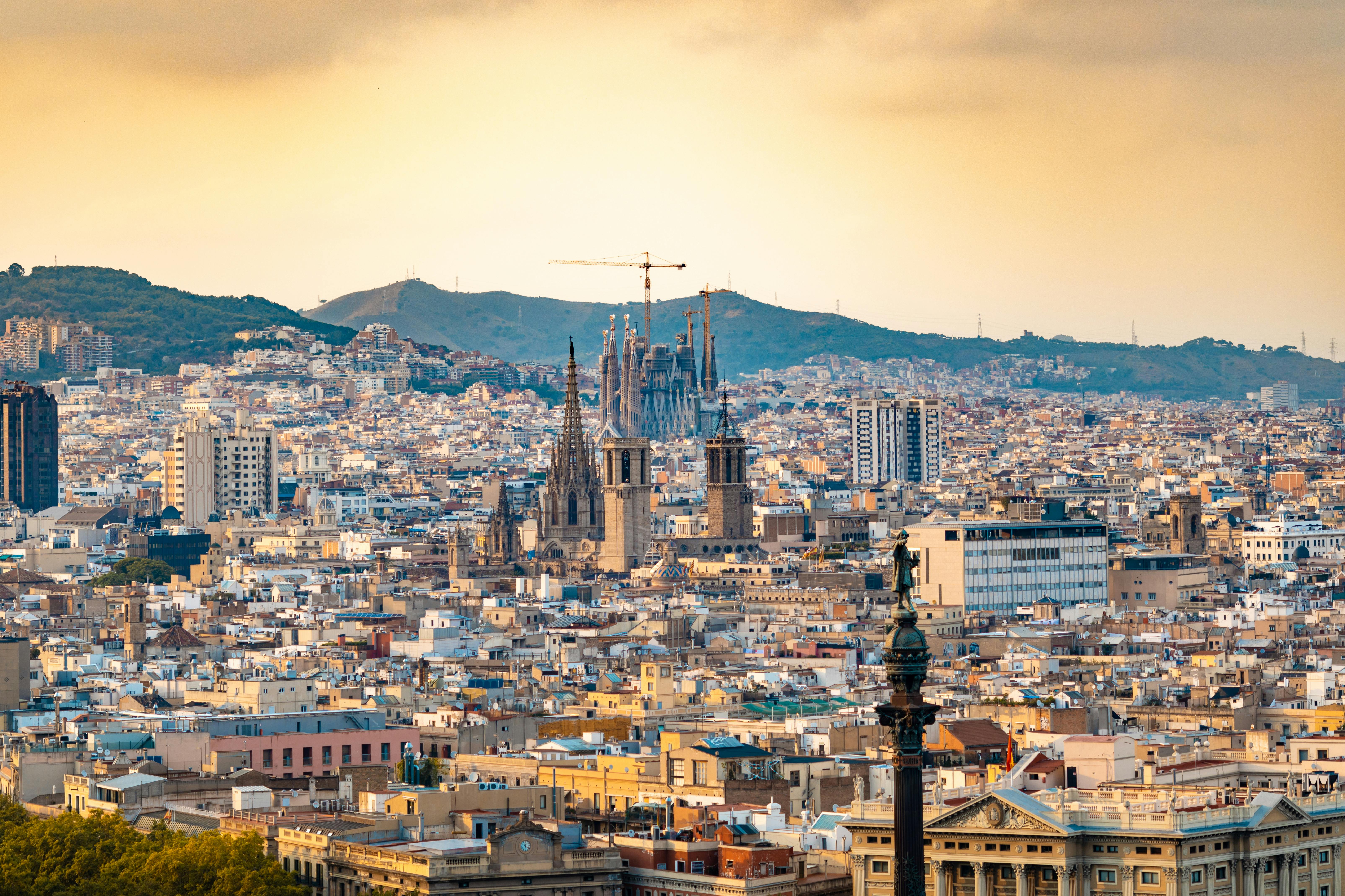
About Gibraltar
Tagged on to the end of Iberia, the intriguing British outpost of Gibraltar is dominated by a sandy peninsula and the stunning 1,400-feet-high limestone Rock. Although small, Gibraltar has always been seen as having great strategic importance on account of its advantageous position where the Atlantic meets the Mediterranean, just 12 miles from the coast of Africa. Ever popular with British holidaymakers, Gibraltar is very much a home from home, boasting excellent duty-free shopping in many familiar British high street shops. Please note: Gibraltar’s small size and narrow winding roads mean that excursions are operated by 22-seater mini-buses, accompanied by a driver/guide. Local health and safety regulations prohibit the carriage of walking aids and collapsible wheelchairs on these vehicles. If you do wish to bring a mobility aid, we can arrange the Rock Tour by taxi, which has extra space. If this suits your requirements, please advise the Tours and Travel office when you join the ship, as numbers are limited.
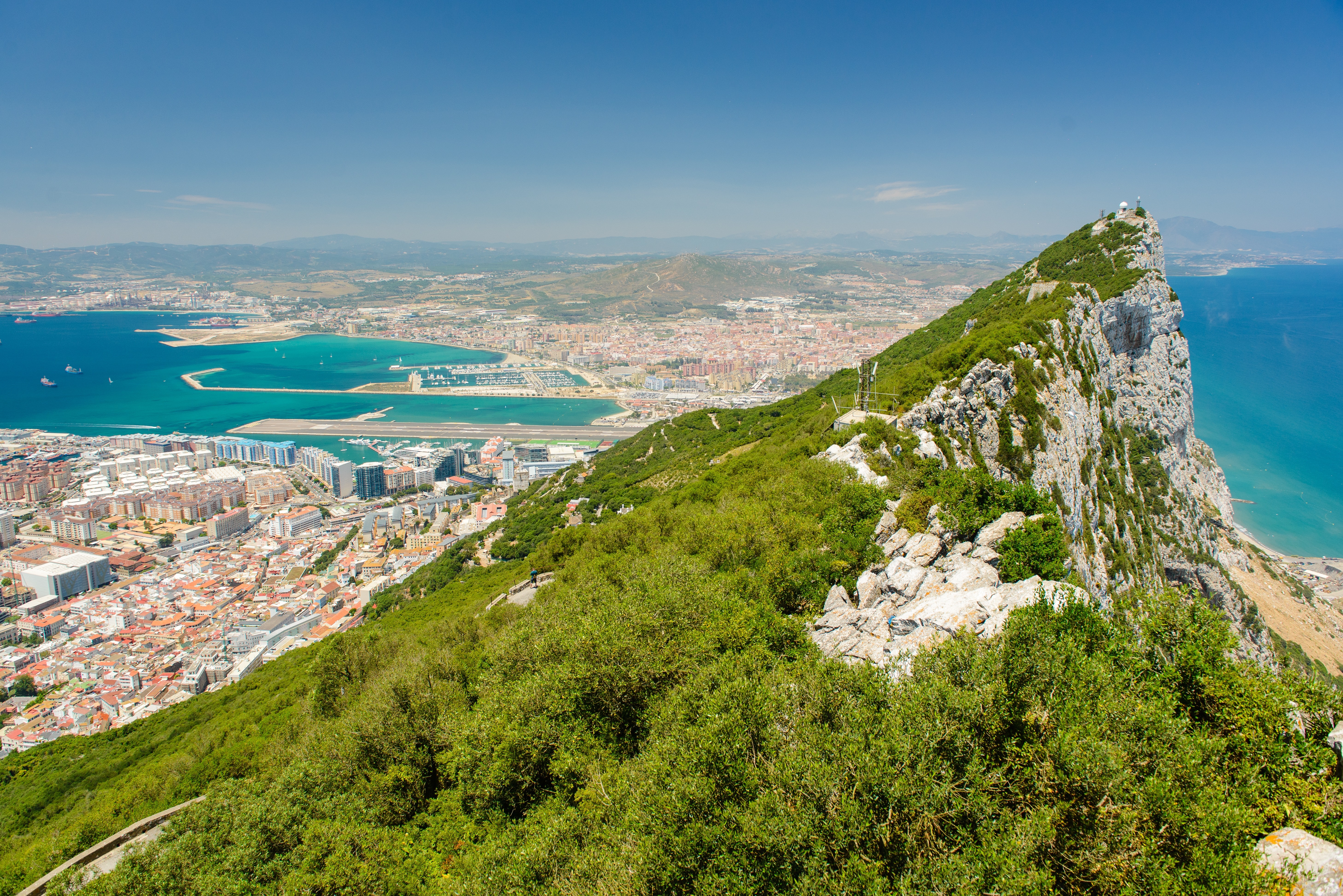
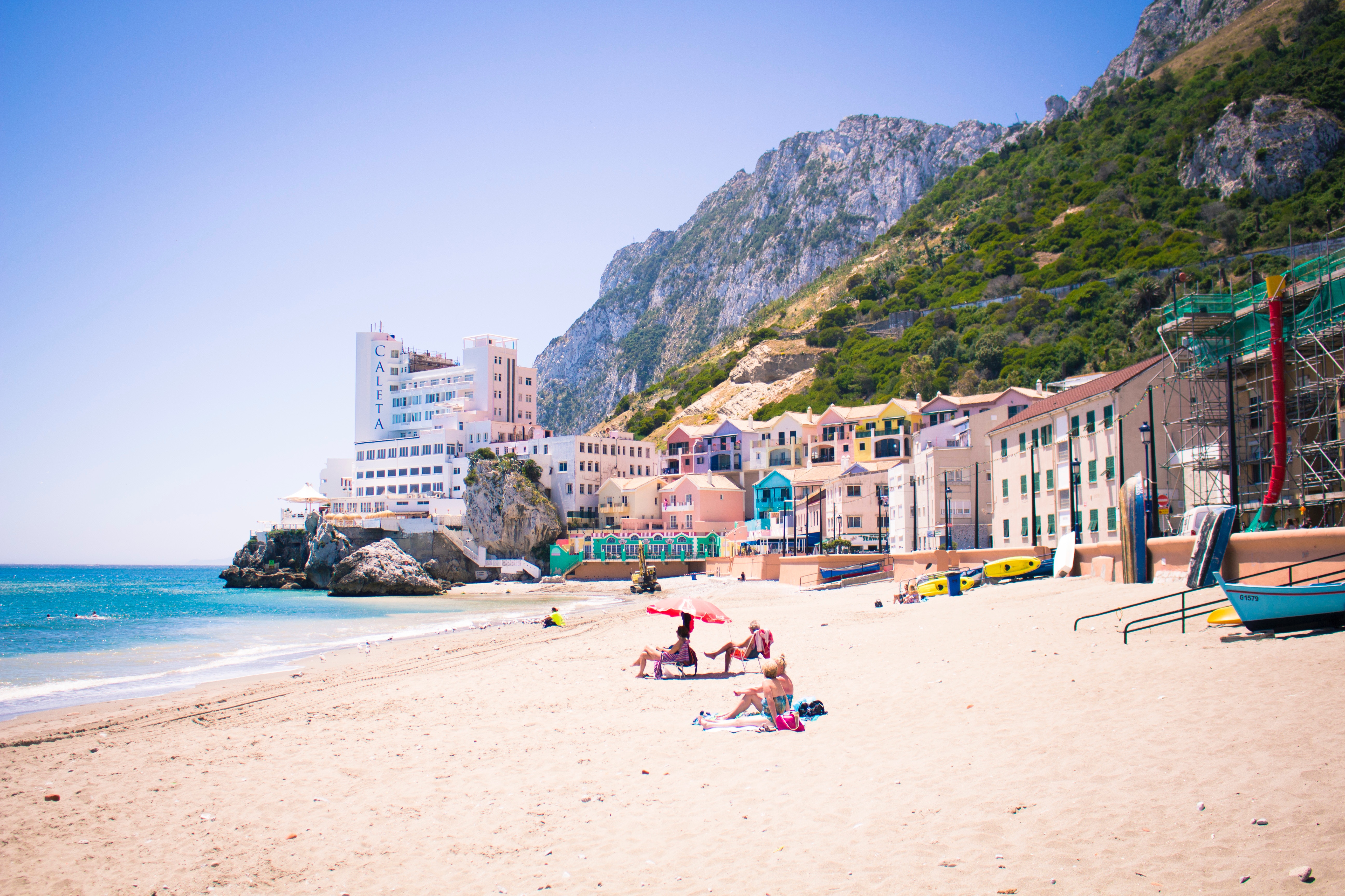

About Lisbon
Set on seven hills on the banks of the River Tagus, Lisbon has been the capital of Portugal since the 13th century. It is a city famous for its majestic architecture, old wooden trams, Moorish features and more than twenty centuries of history. Following disastrous earthquakes in the 18th century, Lisbon was rebuilt by the Marques de Pombal who created an elegant city with wide boulevards and a great riverfront and square, Praça do Comércio. Today there are distinct modern and ancient sections, combining great shopping with culture and sightseeing in the Old Town, built on the city's terraced hillsides. The distance between the ship and your tour vehicle may vary. This distance is not included in the excursion grades.
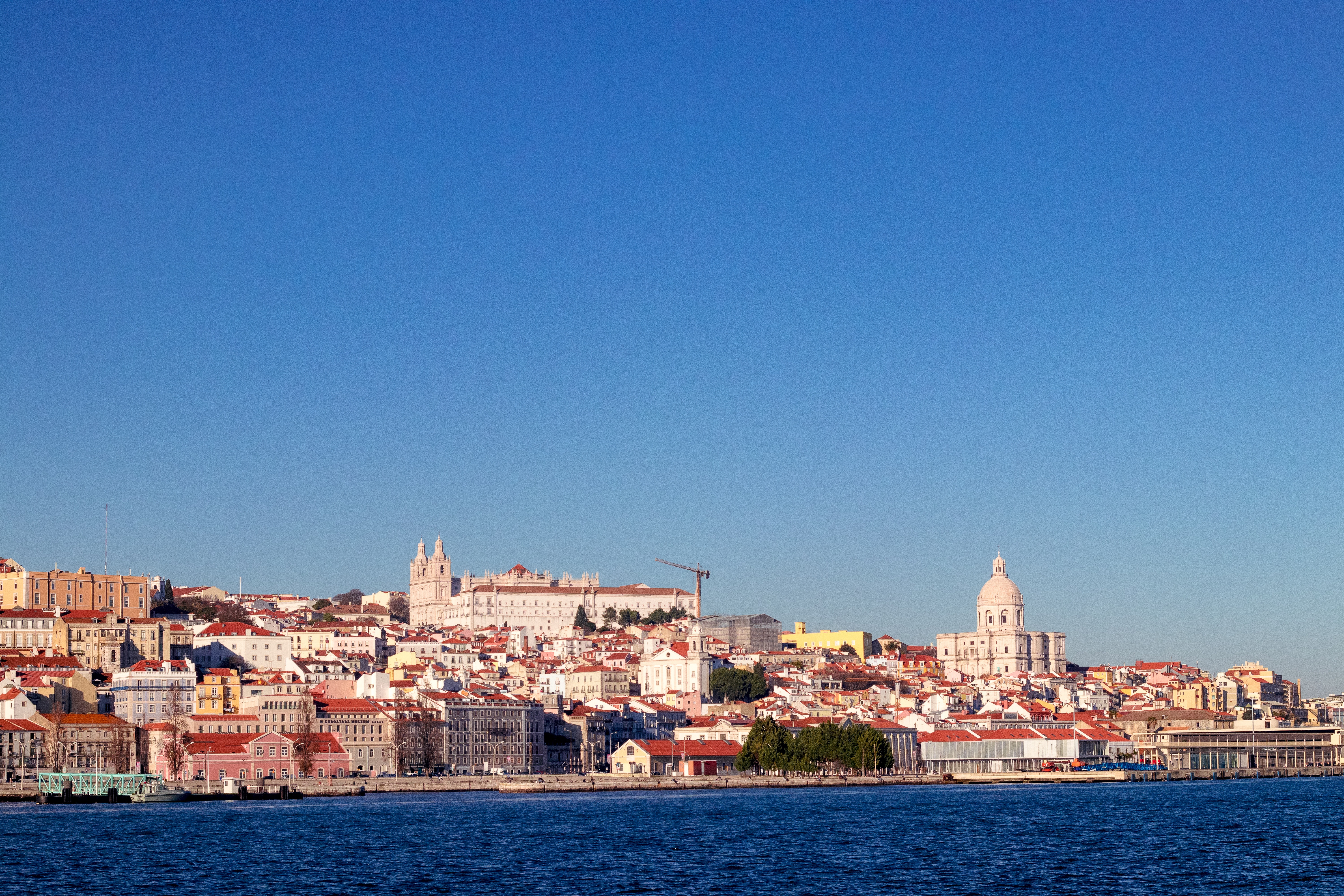
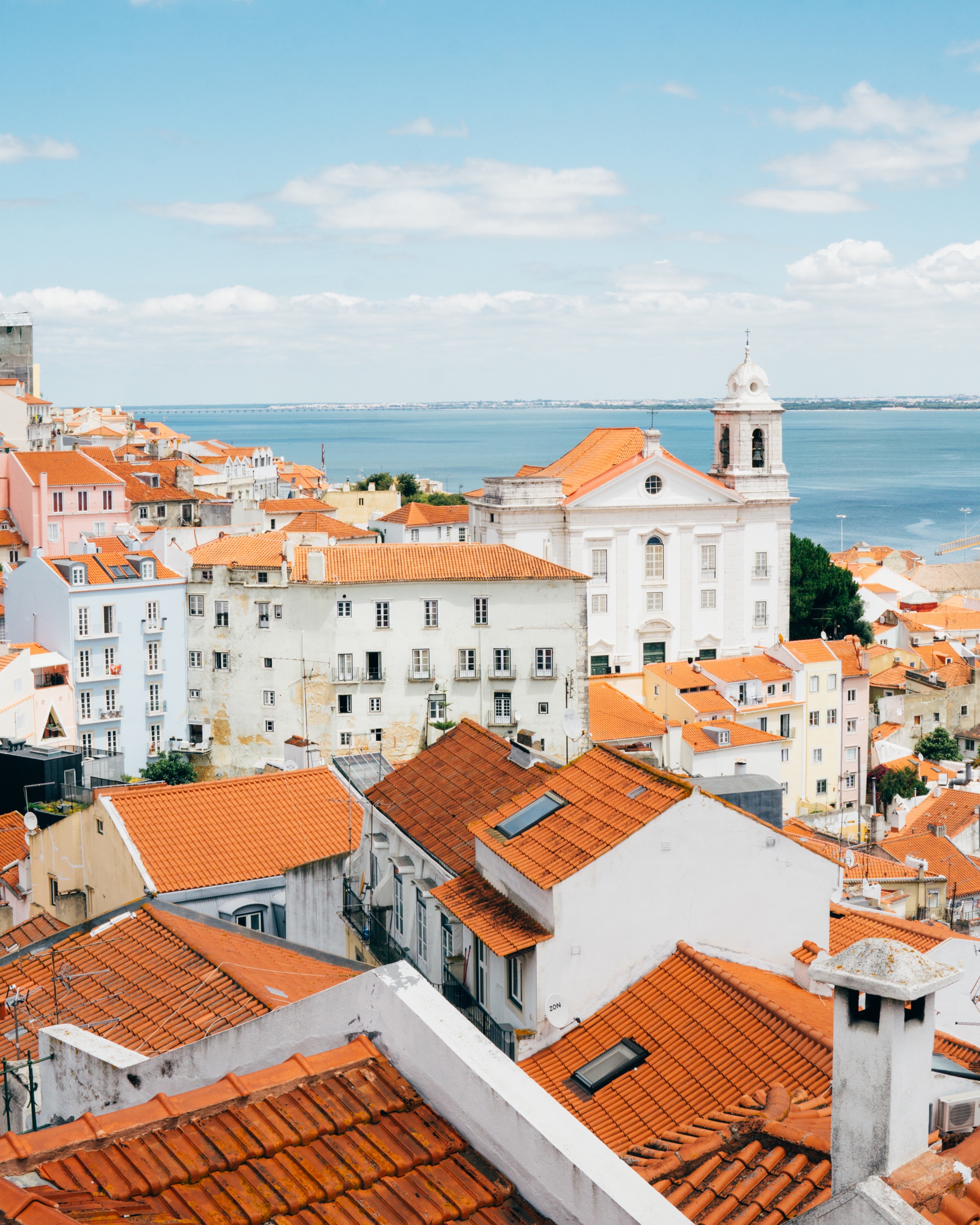
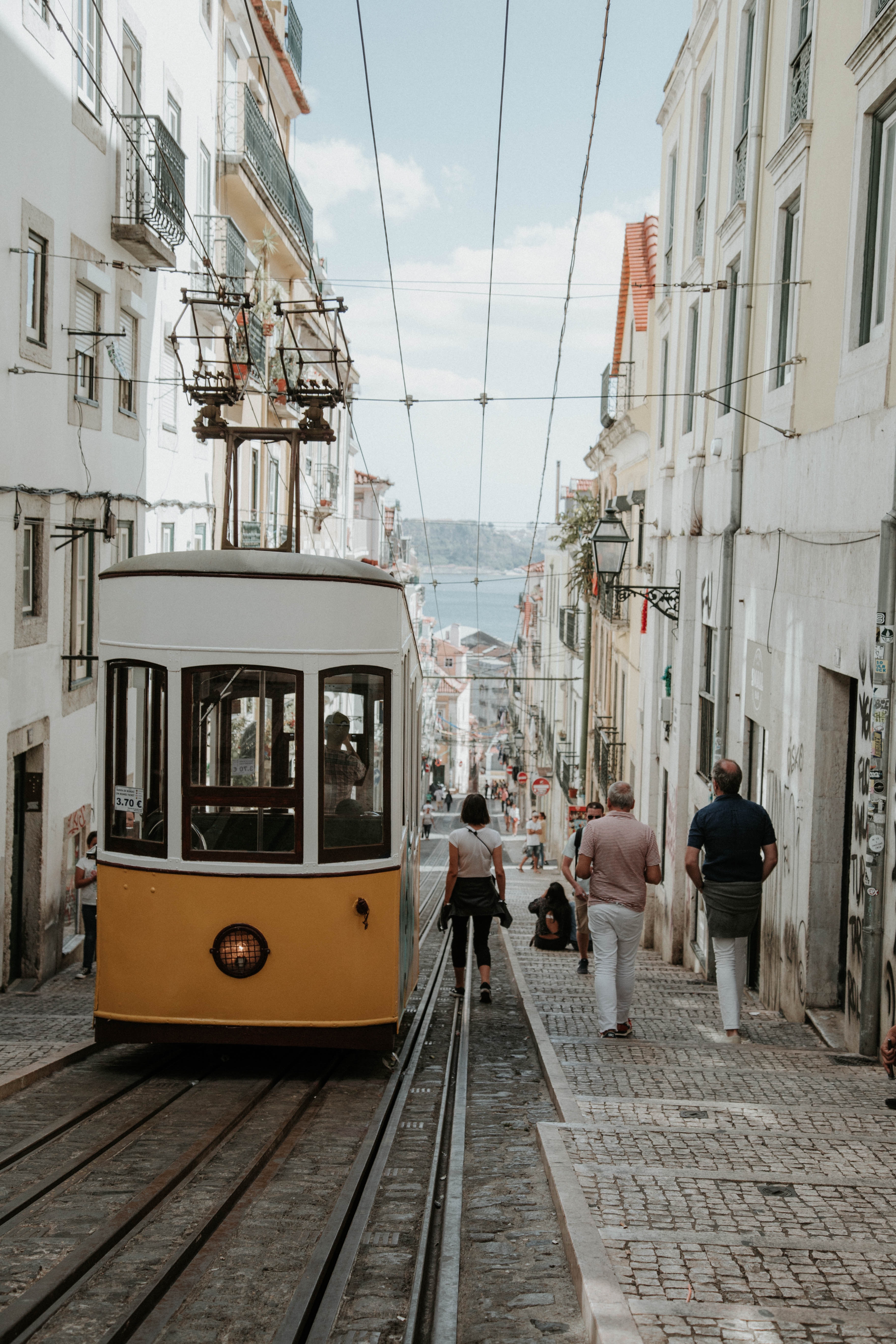
About Lisbon
Set on seven hills on the banks of the River Tagus, Lisbon has been the capital of Portugal since the 13th century. It is a city famous for its majestic architecture, old wooden trams, Moorish features and more than twenty centuries of history. Following disastrous earthquakes in the 18th century, Lisbon was rebuilt by the Marques de Pombal who created an elegant city with wide boulevards and a great riverfront and square, Praça do Comércio. Today there are distinct modern and ancient sections, combining great shopping with culture and sightseeing in the Old Town, built on the city's terraced hillsides. The distance between the ship and your tour vehicle may vary. This distance is not included in the excursion grades.
About Porto
Lively, commercial Oporto is the second largest city in Portugal after Lisbon. Also called Porto for short, the word easily brings to mind the city's most famous product - port wine. Oporto's strategic location on the north bank of the Douro River has accounted for the town's importance since ancient times. The Romans built a fort here where their trading route crossed the Douro, and the Moors brought their own culture to the area. Oporto profited from provisioning crusaders en route to the Holy Land and enjoyed the riches from Portuguese maritime discoveries during the 15th and 16th centuries. Later, port wine trade with Britain compensated for the loss of the spice trade and the end of gold and gem shipments from Brazil. In the 19th century, the city went through a period of new prosperity with the rise of industries. In its wake followed the building of workers' quarters and opulent residences. Since the declaration of Oporto as a World Heritage Site by UNESCO, the city aims to build up a cultural reference that will provide it with a new image, based on deep historical roots. Among the attractions that make Oporto such an interesting place are its graceful bridges spanning the Douro River, a picturesque riverfront quarter and, most notable, its world-famous port wine lodges. Although Oporto is a bustling centre and home to many different businesses, the source of its greatest fame is the rich, sweet fortified red wine we know as port.
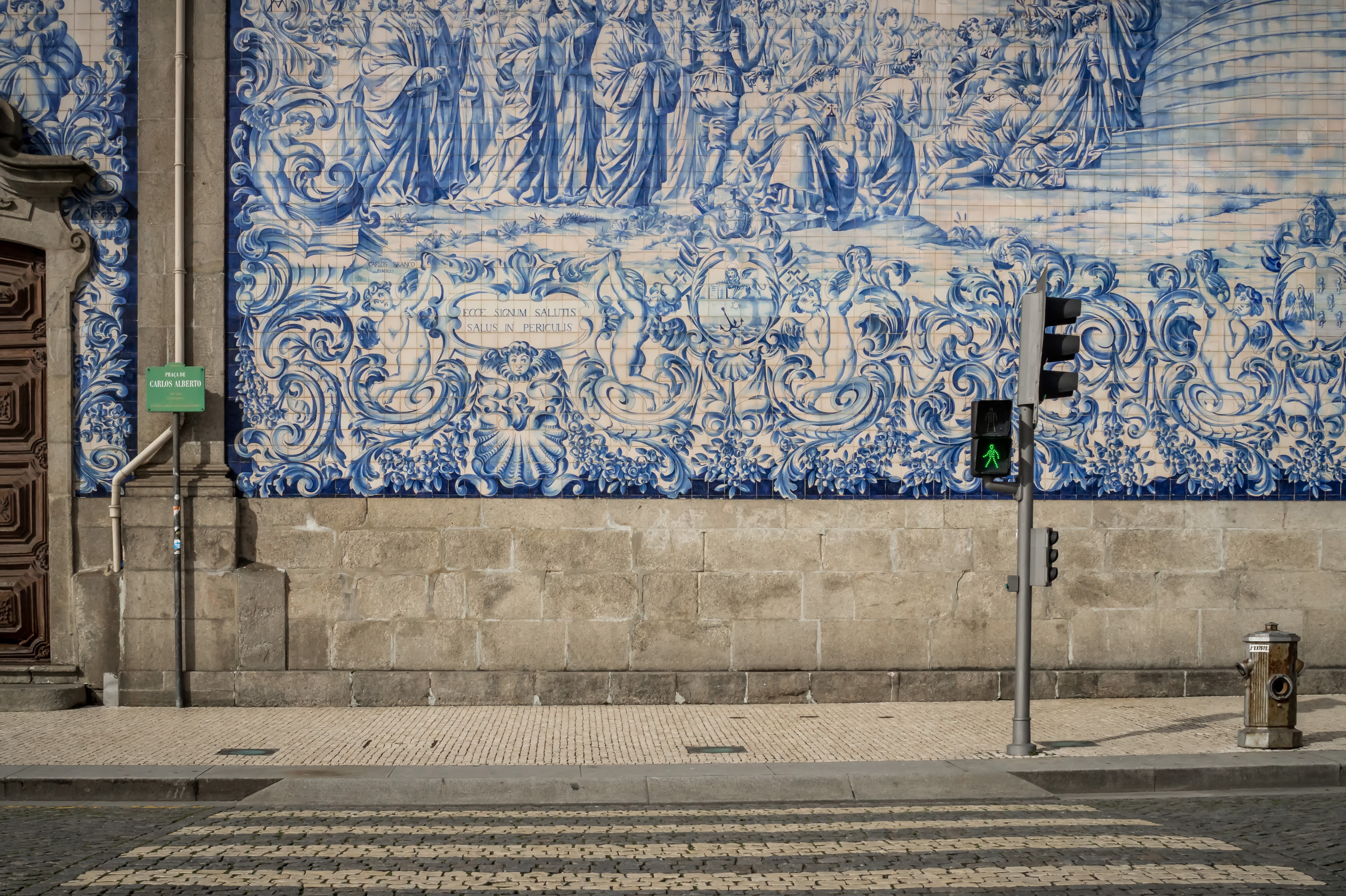
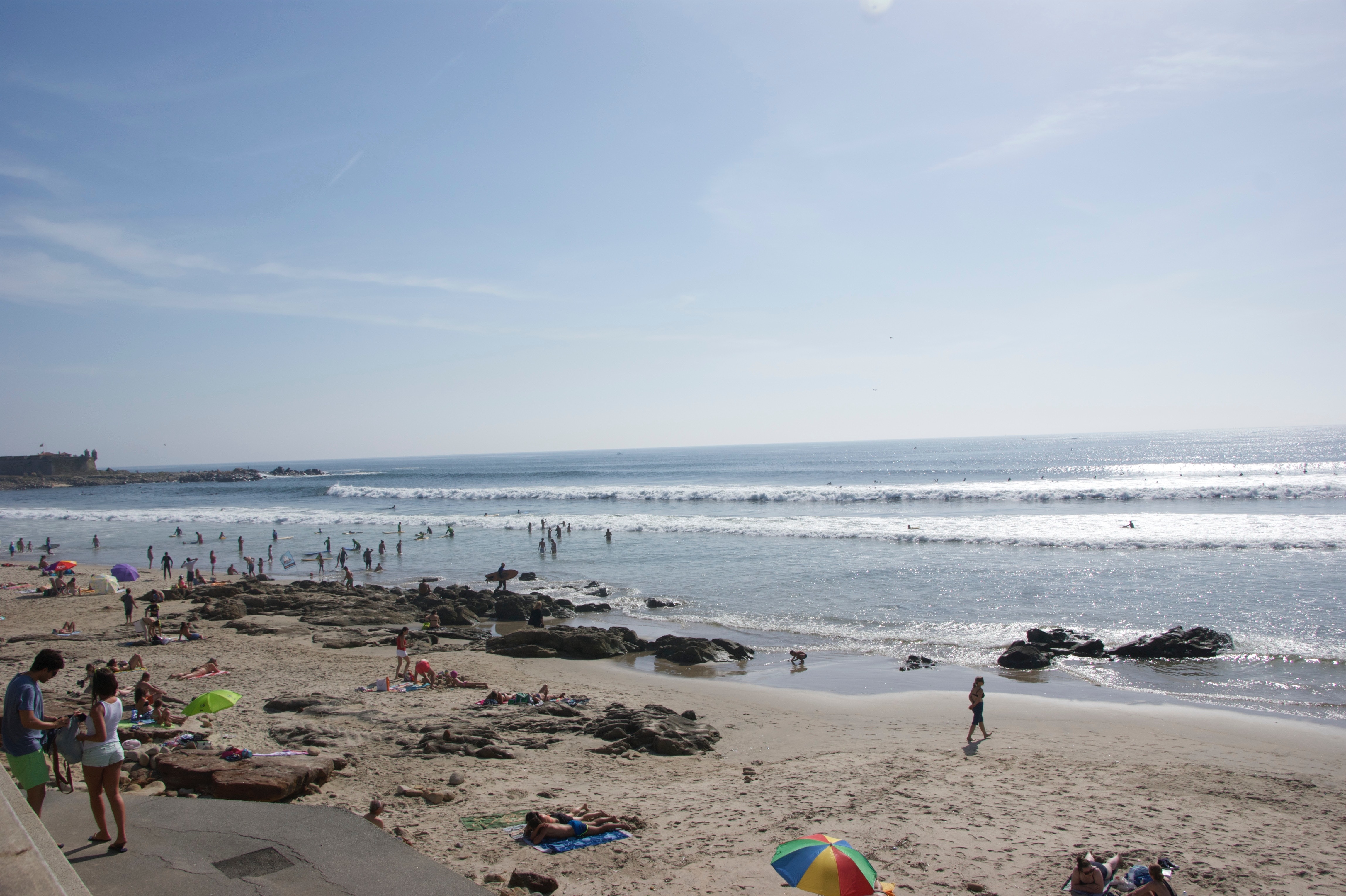
About Bordeaux
Bordeaux as a whole, rather than any particular points within it, is what you'll want to visit in order to understand why Victor Hugo described it as Versailles plus Antwerp, and why the painter Francisco de Goya, when exiled from his native Spain, chose it as his last home (he died here in 1828). The capital of southwest France and the region's largest city, Bordeaux remains synonymous with the wine trade: wine shippers have long maintained their headquarters along the banks of the Garonne, while buyers from around the world arrive for the huge biennial Vinexpo show (held in odd-number years).Bordeaux is, admittedly, a less exuberant city than many others in France, but lively and stylish elements are making a dent in its conservative veneer. The cleaned-up riverfront is said by some, after a bottle or two, to exude an elegance reminiscent of St. Petersburg, and that aura of 18th-century élan also permeates the historic downtown sector—“le vieux Bordeaux"—where fine shops invite exploration. To the south of the city center are old docklands undergoing renewal—one train station has now been transformed into a big multiplex movie theater—but the area is still a bit shady. To get a feel for the historic port of Bordeaux, take the 90-minute boat trip that leaves Quai Louis-XVIII every weekday afternoon, or the regular passenger ferry that plies the Garonne between Quai Richelieu and the Pont d'Aquitaine in summer. A nice time to stroll around the city center is the first Sunday of the month, when it's pedestrian-only and vehicles are banned.
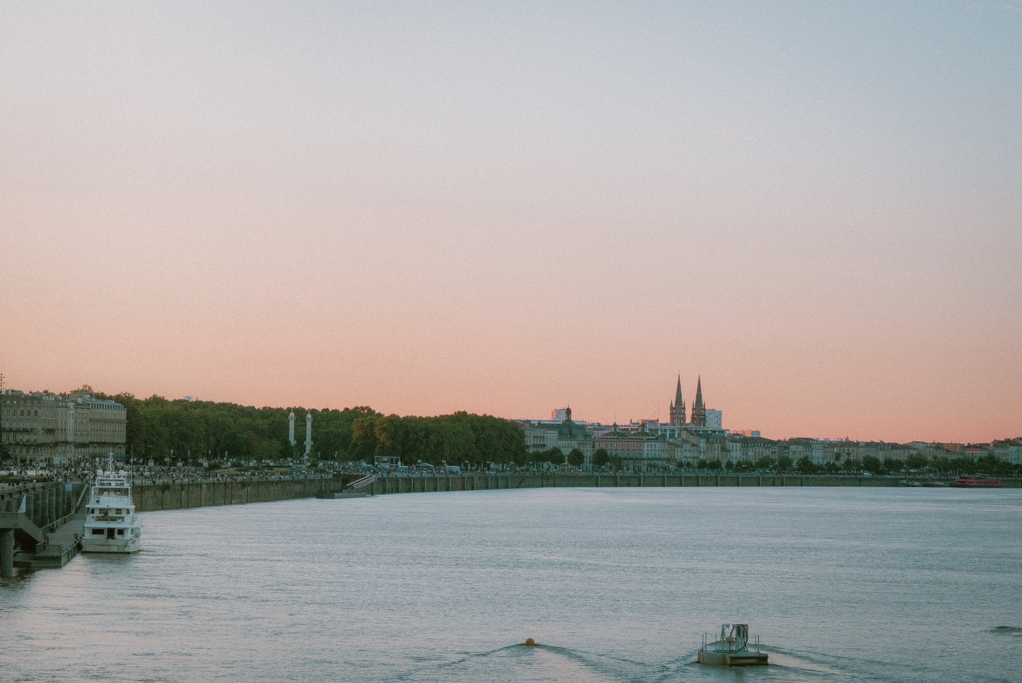
About Bordeaux
Bordeaux as a whole, rather than any particular points within it, is what you'll want to visit in order to understand why Victor Hugo described it as Versailles plus Antwerp, and why the painter Francisco de Goya, when exiled from his native Spain, chose it as his last home (he died here in 1828). The capital of southwest France and the region's largest city, Bordeaux remains synonymous with the wine trade: wine shippers have long maintained their headquarters along the banks of the Garonne, while buyers from around the world arrive for the huge biennial Vinexpo show (held in odd-number years).Bordeaux is, admittedly, a less exuberant city than many others in France, but lively and stylish elements are making a dent in its conservative veneer. The cleaned-up riverfront is said by some, after a bottle or two, to exude an elegance reminiscent of St. Petersburg, and that aura of 18th-century élan also permeates the historic downtown sector—“le vieux Bordeaux"—where fine shops invite exploration. To the south of the city center are old docklands undergoing renewal—one train station has now been transformed into a big multiplex movie theater—but the area is still a bit shady. To get a feel for the historic port of Bordeaux, take the 90-minute boat trip that leaves Quai Louis-XVIII every weekday afternoon, or the regular passenger ferry that plies the Garonne between Quai Richelieu and the Pont d'Aquitaine in summer. A nice time to stroll around the city center is the first Sunday of the month, when it's pedestrian-only and vehicles are banned.
About Saint Peter Port
Cobblestone streets, blooming floral displays, and tiny churches welcome you to this wonderfully pretty harbour. The town of St Peter Port is as pretty as they come, with glowing flower displays painting practically every street corner and window-ledge with colour. As the capital, and main port of Guernsey, St Peter Port puts all of the island’s gorgeous beaches, wonderful history and inspiring stories at your fingertips. Feel the gut punch of the midday gun firing at Castle Cornet, which stands guard over one of the world's prettiest ports. This 800-year-old, Medieval castle offers staggering views of the harbour from its imposing, craggy island location, and you can look out across to the looming shorelines of the other Channel Islands from its weathered battlements. With four well-tended gardens, and five museums offering a rich overview of Guernsey's history, you’ll want to leave a few hours aside to explore the many treasures that lie within the castle’s walls.
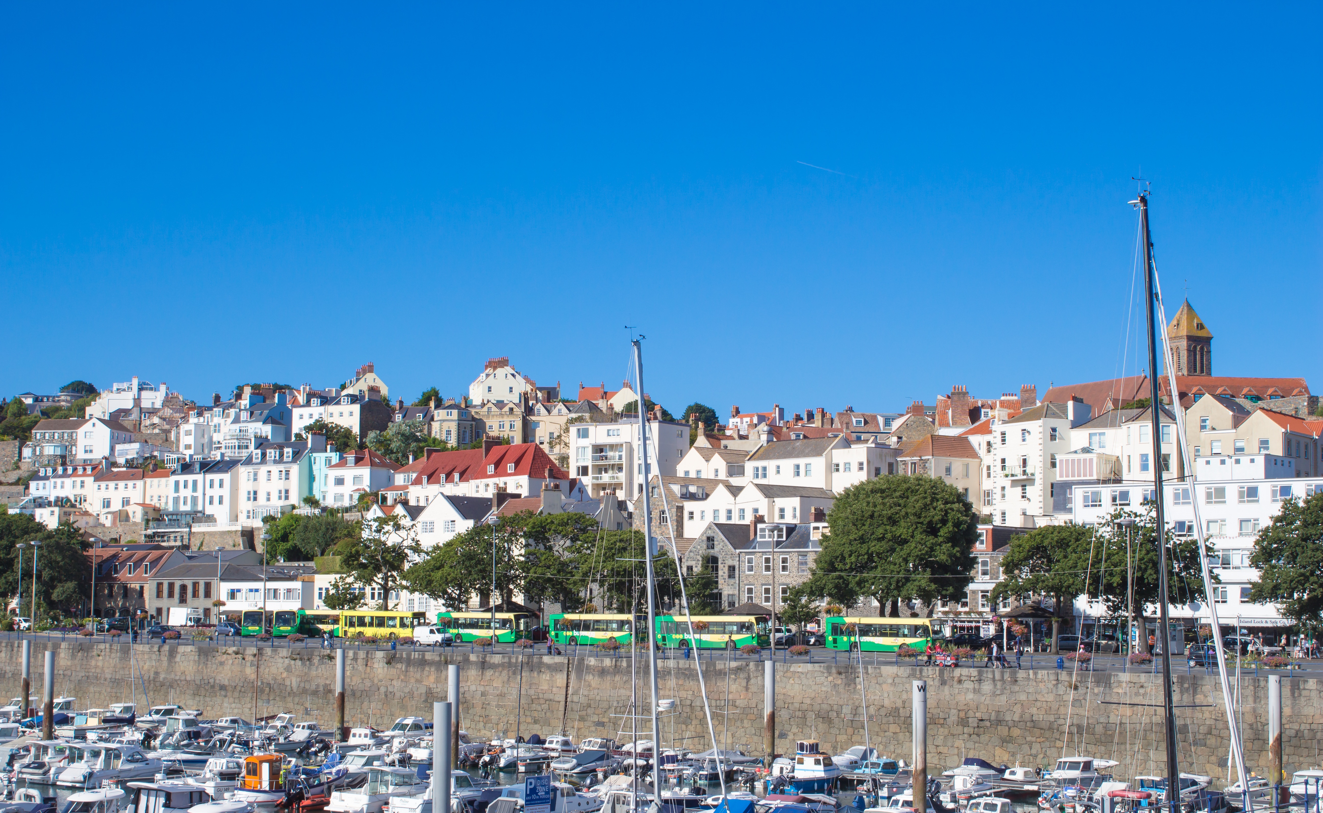
About London Tower Bridge
London is an ancient city whose history greets you at every turn. If the city contained only its famous landmarks—the Tower of London or Big Ben—it would still rank as one of the world's top cities. But London is so much more. The foundations of London's character and tradition endure. The British bobby is alive and well. The tall, red, double-decker buses (in an updated model) still lumber from stop to stop. Then there's that greatest living link with the past—the Royal Family with all its attendant pageantry. To ice the cake, swinging-again London is today one of the coolest cities on the planet. The city's art, style, and fashion make headlines around the world, and London's chefs have become superstars.
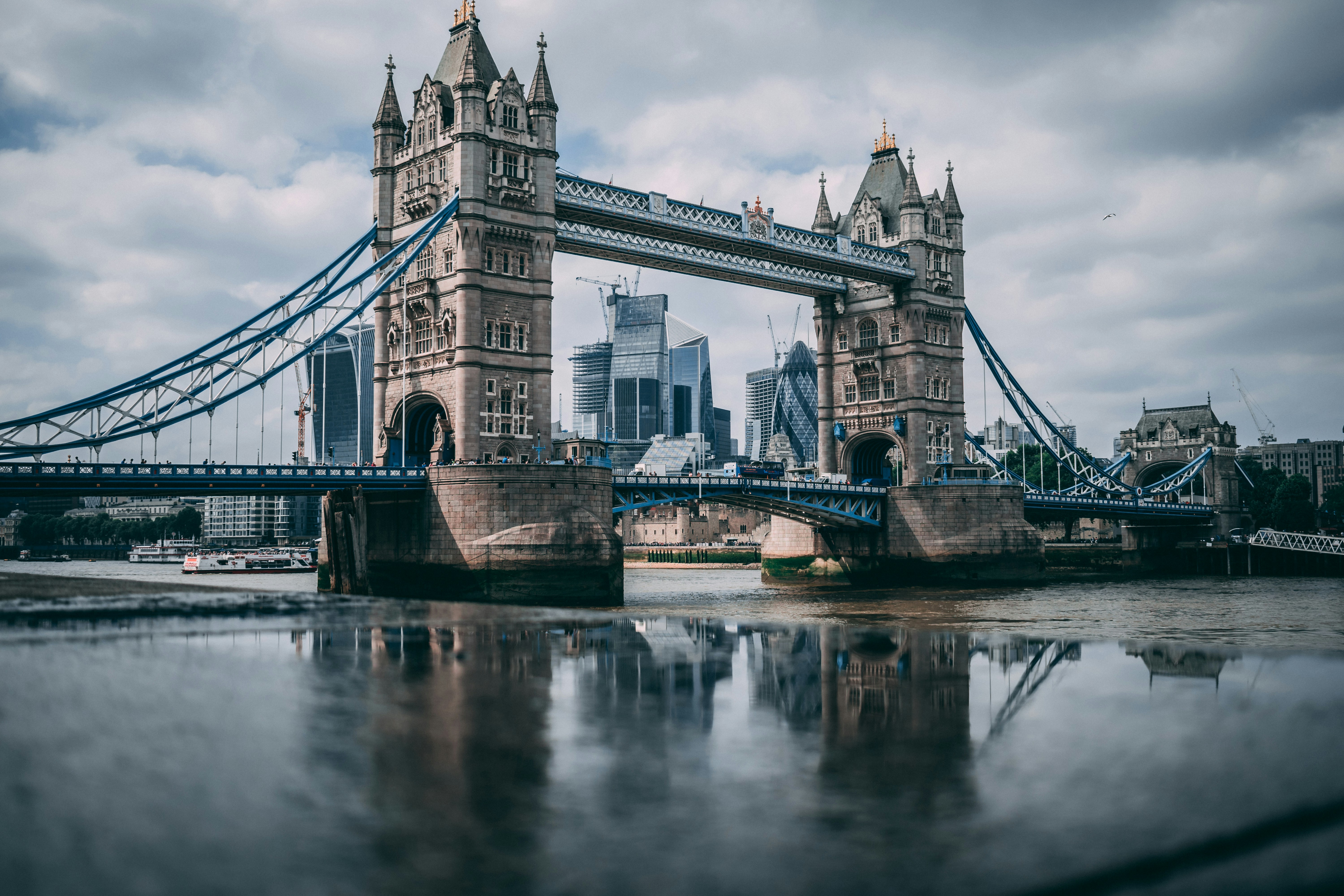
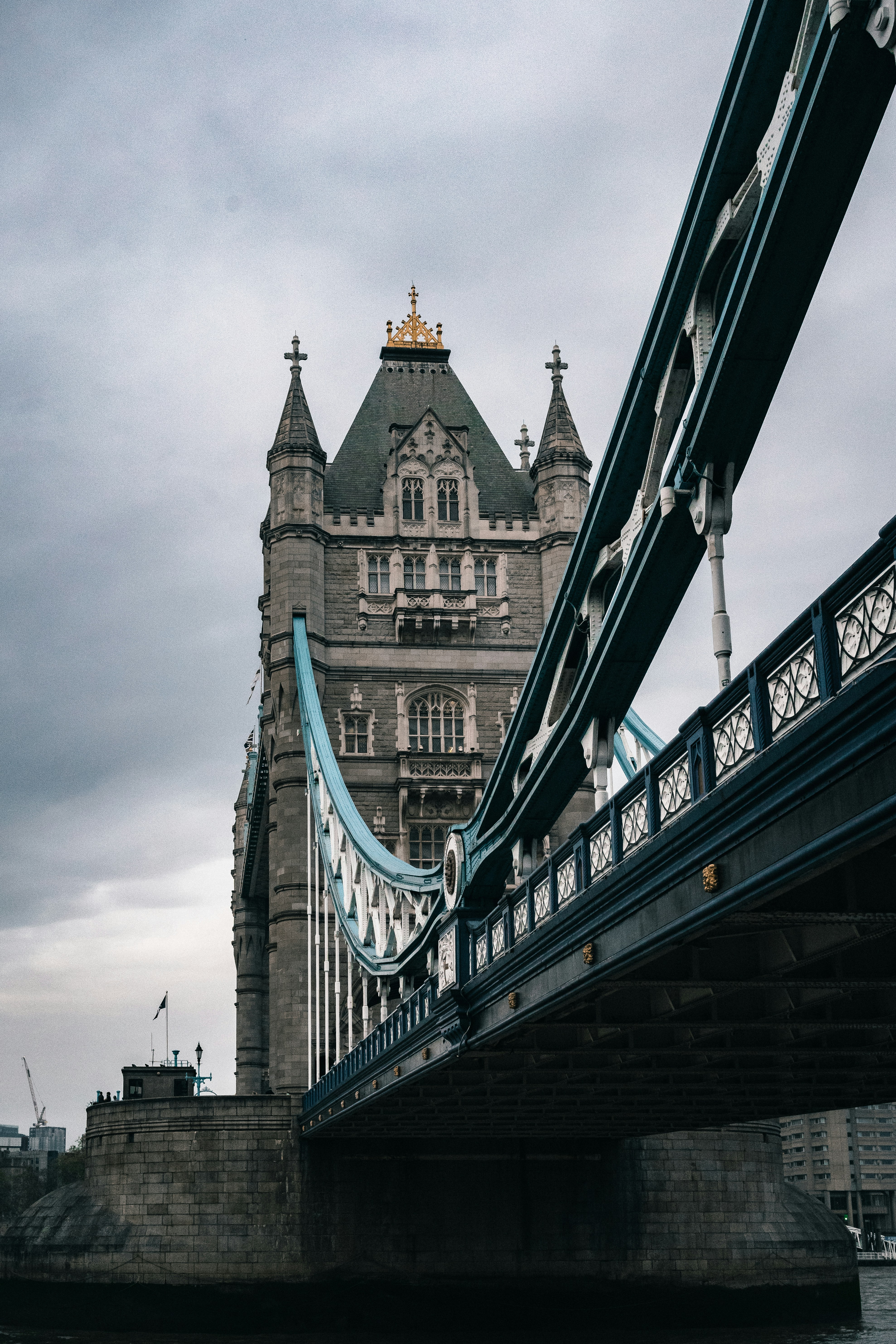
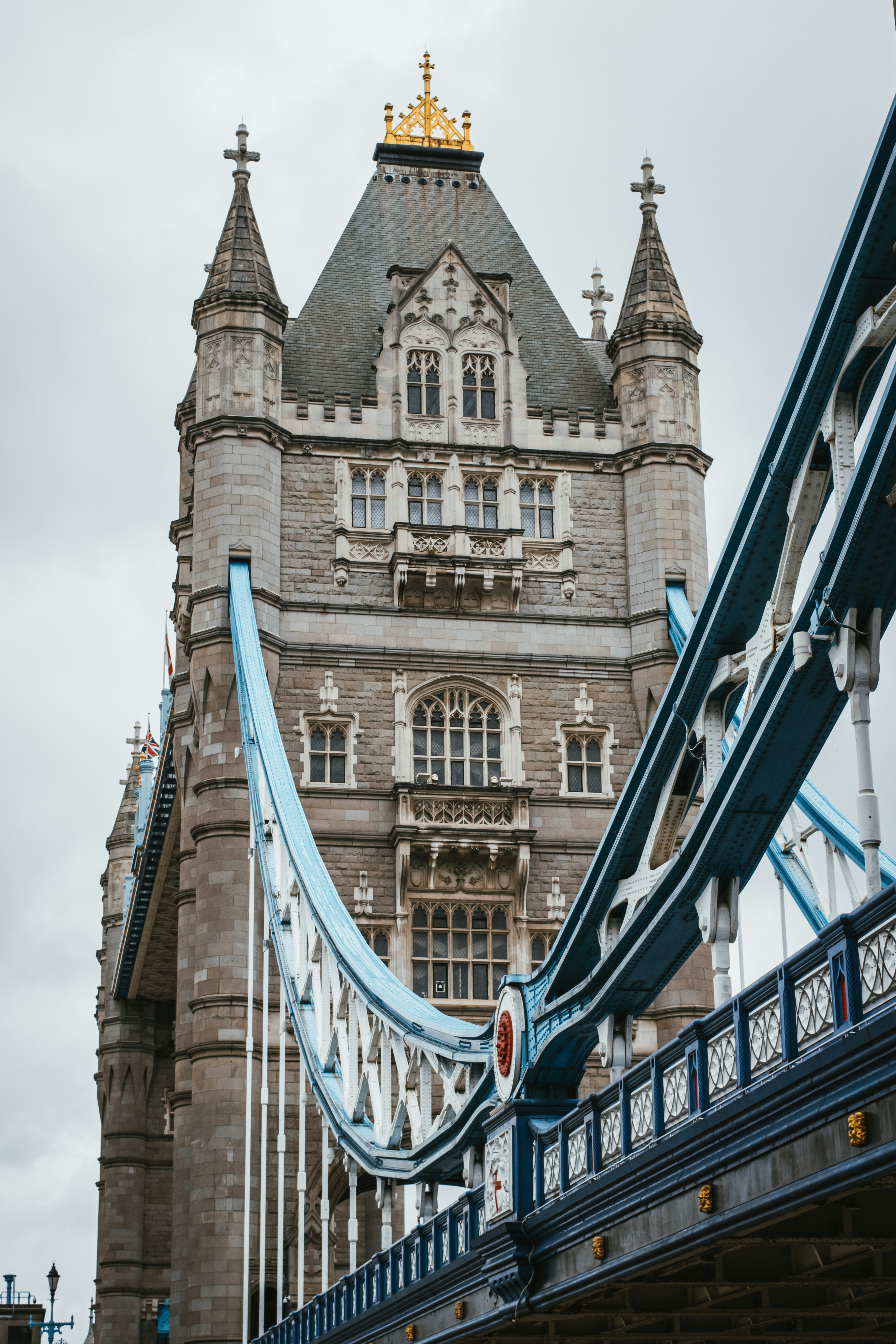
SeaDream III
A New Era of Luxury Yachting
SeaDream III carries the intimacy that defined the first two yachts and gives it greater reach. A guest-to-staff ratio approaching one-to-one, open-seating dining, and the freedom to change plans on the day — now at a scale that can cross oceans.
The result is a yacht that feels familiar to anyone who has sailed with us, and entirely new in where it can take them.
A Wider World Within Easy Reach
With greater range and endurance, SeaDream III opens new regions to SeaDream, including Asia, Arabia, India, the South Pacific, South America and the Great Lakes.
Her shallow draft and slender beam preserve the freedom to enter intimate harbors and secluded anchorages beyond the reach of larger vessels, bringing the signature SeaDream experience to more of the world.
Onboard Amenities Reimagined
Every space has been reconsidered rather than simply enlarged. Dining, wellness and the top-deck social spaces gain room to breathe, and the marina platform opens directly onto the sea as it always has.
Details are still being finalised and will be published ahead of the inaugural season.
The Same World-Class Experience You’ve Come to Expect
A crew who learn your name in the first hour. Champagne and caviar in the sea. Late stays and overnights that let a place be met properly rather than glimpsed.
Nothing that makes a SeaDream voyage what it is has been traded away — there is simply more of the world to spend it in.
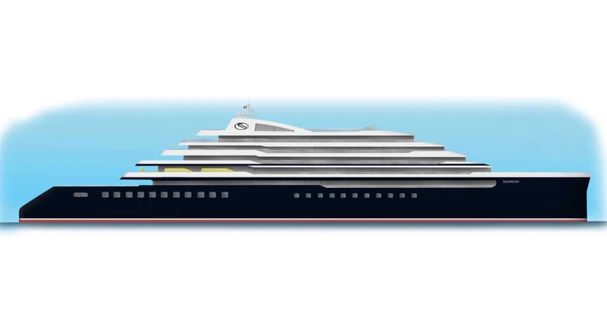
Ship Facts
| Launch Year | 2029 | ||||
| Refit Year | |||||
| Language | en | ||||
| Gross Tonnage | 16500 | ||||
| Length | 151 | ||||
| Width | 21 | ||||
| Currency | USD | ||||
| Speed | N/A | ||||
| Capacity | 230 | ||||
| Crew Count | 200 | ||||
| Deck Count | 5 | ||||
| Cabin Count | N/A | ||||
| Large Cabin Count | N/A | ||||
| Wheelchair Cabin Count | N/A | ||||
| Electrical Plugs |
|
Deck 10

Deck 9
Deck 8
Cabins

Deck 7
Cabins

Deck 6
Cabins

Deck 5
Cabins

Deck 4
Cabins
