King George Island to King George Island
King George Island to King George Island
Cruise overview
WHY BOOK WITH US?
- ✔ The Deluxe Cruises’ team has extensive experience in ultra-luxury cruising.
- ✔ Call now to speak to our helpful and experienced Cruise Concierge team.
- ✔ Enjoy our Unique Deluxe Cruises Bonus for substantial savings.
- ✔ Our team will tailor your holiday to your exacting requirements.
- ✔ As agents, we work under the protection of each cruise lines ABTA / ATOL licences
About King George Island, South Shetland Islands
Rugged, remote island with rocky beaches, Antarctica's first Orthodox church & a range of wildlife.

About Antarctic Sound
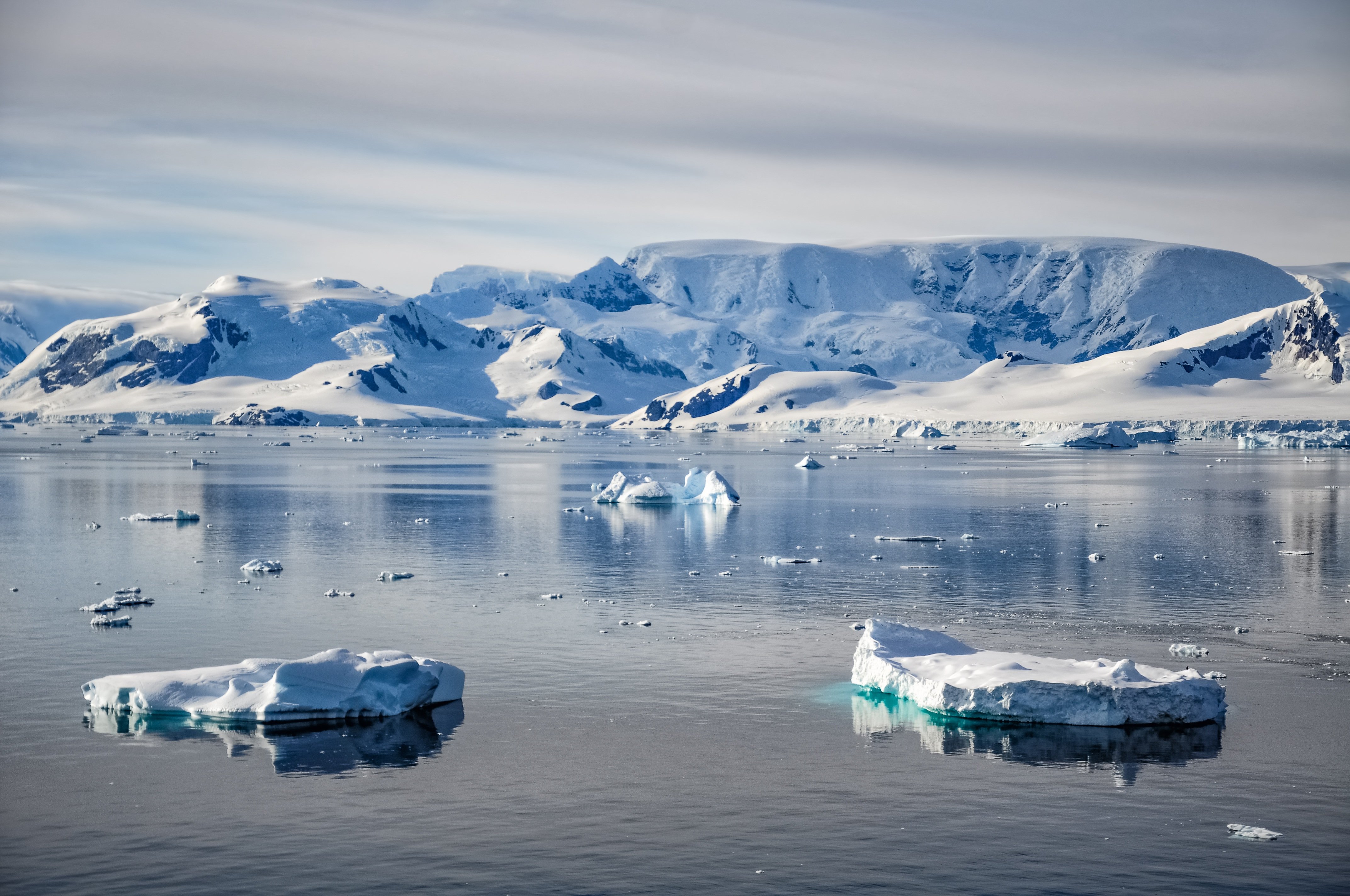
The Antarctic Sound is a stretch of water named after the first ship to have passed through this body of water from the Bransfield Strait to the Weddell Sea in 1902. The Antarctic eventually sank and crew and scientists had to spend quite some time in this area before they could be rescued. Sites that have to do with this story - like Hope Bay or Paulet Island - are sometimes visited. At Paulet, Hope Bay and Brown Bluff Adelie and Gentoo Penguins breed, as do Kelp Gulls and Cape Petrels, Snow Petrels and Skuas. The Sound’s main attractions are the spectacular tabular icebergs that come from the Larsen Ice Shelf further south.

About Antarctic Peninsula
Remote and otherworldly, Antarctic is irresistible for its spectacular iceberg sculptures and calving glaciers, and for the possibility of up-close encounters with marine mammals and the iconic penguins. The Antarctic Peninsula – the main peninsula closest to South America – has a human history of almost 200 years, with explorers, sealers, whalers, and scientists who have come to work, and eventually intrepid visitors coming to enjoy this pristine and remote wilderness. It is a region of protected bays, unscaled snow-capped mountains, vast glaciers and a few places where whalers or scientists have worked. Just as irresistible are the many Gentoo and Chinstrap Penguin colonies, the seals basking on ice floes, the whales and orcas.


About South Shetland Islands
Some 770 kilometers (478 miles) south of Cape Horn, the South Shetland Islands are usually the first land seen in Antarctica. Separated from the Antarctic Peninsula by the Bransfield Strait, nine major islands make up the group. The region was the first to be exploited by sealers in the early 19th century, and because of its proximity to South America, it still is the most visited by scientists and tourists. Chinstrap, Adelie, Gentoo and Macaroni Penguins all breed here. In addition, because it is the warmest part of the continent, large moss beds as well as orange, black, grey and green lichens grow –even hair grass and pearlwort manage to survive. Leopard seals, Weddell seals, crabeater seals, Southern elephant seals and Antarctic fur seals can be seen in the water and on the beaches.


About King George Island, South Shetland Islands
Rugged, remote island with rocky beaches, Antarctica's first Orthodox church & a range of wildlife.


