
Grand Australia 2025
Grand Australia 2025
Cruise overview
WHY BOOK WITH US?
- ✔ The Deluxe Cruises’ team has extensive experience in ultra-luxury cruising.
- ✔ Call now to speak to our helpful and experienced Cruise Concierge team.
- ✔ Enjoy our Unique Deluxe Cruises Bonus for substantial savings.
- ✔ Our team will tailor your holiday to your exacting requirements.
- ✔ As agents, we work under the protection of each cruise lines ABTA / ATOL licences
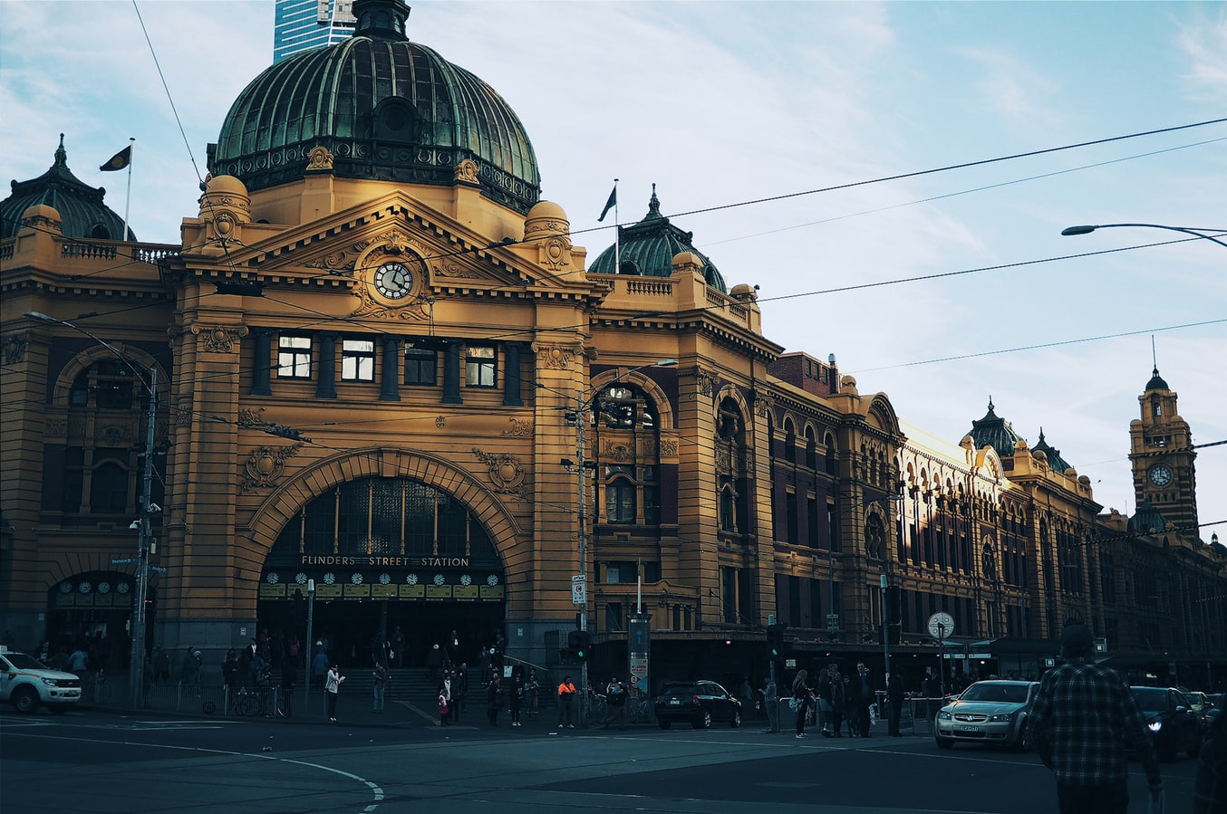
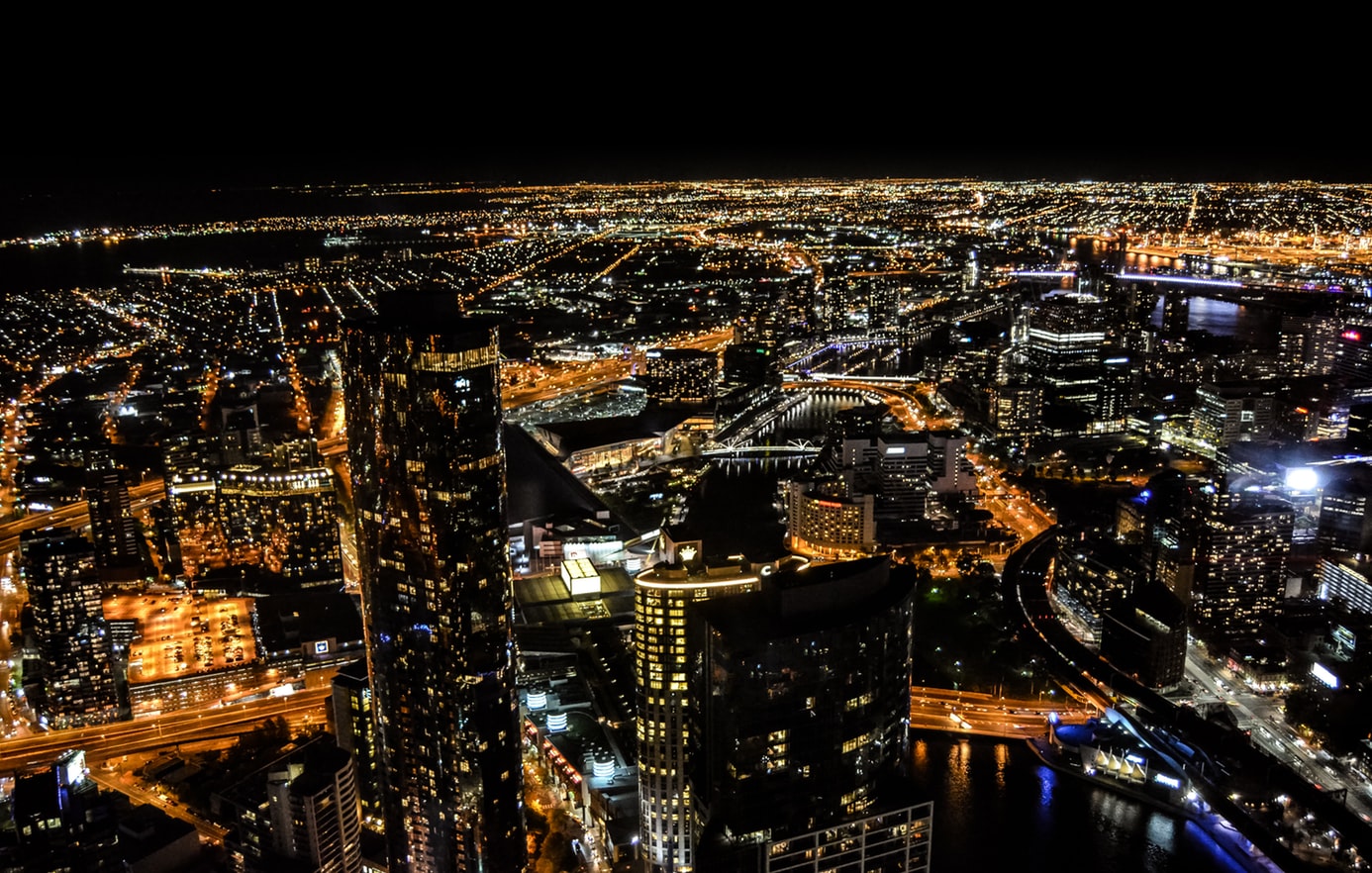
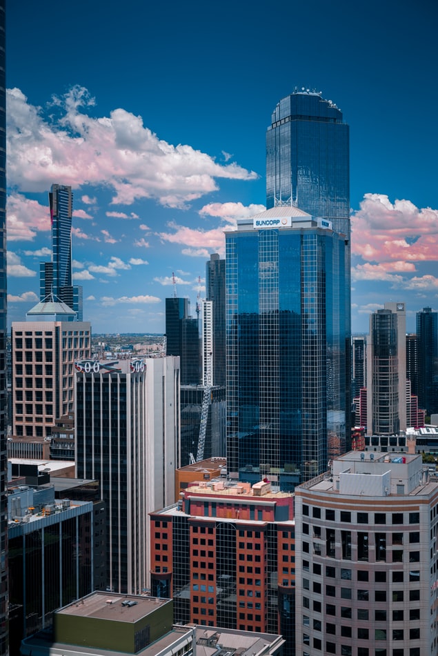
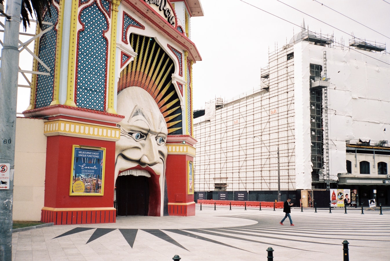
About Melbourne, Victoria
Consistently rated among the "world's most livable cities" in quality-of-life surveys, Melbourne is built on a coastal plain at the top of the giant horseshoe of Port Phillip Bay. The city center is an orderly grid of streets where the state parliament, banks, multinational corporations, and splendid Victorian buildings that sprang up in the wake of the gold rush now stand. This is Melbourne's heart, which you can explore at a leisurely pace in a couple of days.In Southbank, one of the newer precincts south of the city center, the Southgate development of bars, restaurants, and shops has refocused Melbourne's vision on the Yarra River. Once a blighted stretch of factories and run-down warehouses, the southern bank of the river is now a vibrant, exciting part of the city, and the river itself is finally taking its rightful place in Melbourne's psyche.Just a hop away, Federation Square—with its host of galleries—has become a civic landmark for Melburnians. Stroll along the Esplanade in the suburb of St. Kilda, amble past the elegant houses of East Melbourne, enjoy the shops and cafés in Fitzroy or Carlton, rub shoulders with locals at the Victoria Market, nip into the Windsor for afternoon tea, or rent a canoe at Studley Park to paddle along one of the prettiest stretches of the Yarra—and you may discover Melbourne's soul as well as its heart.


About Eden, New South Wales

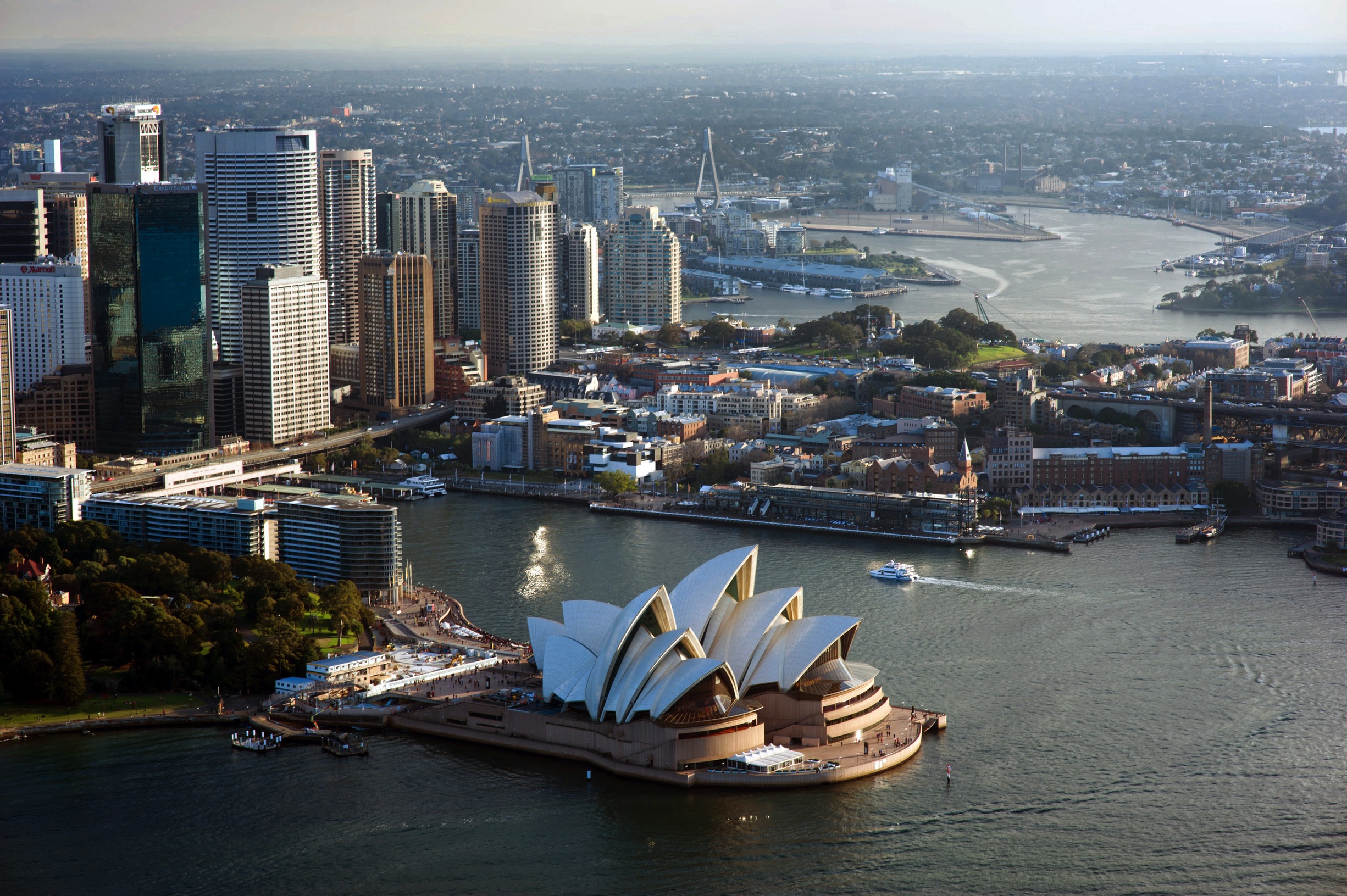
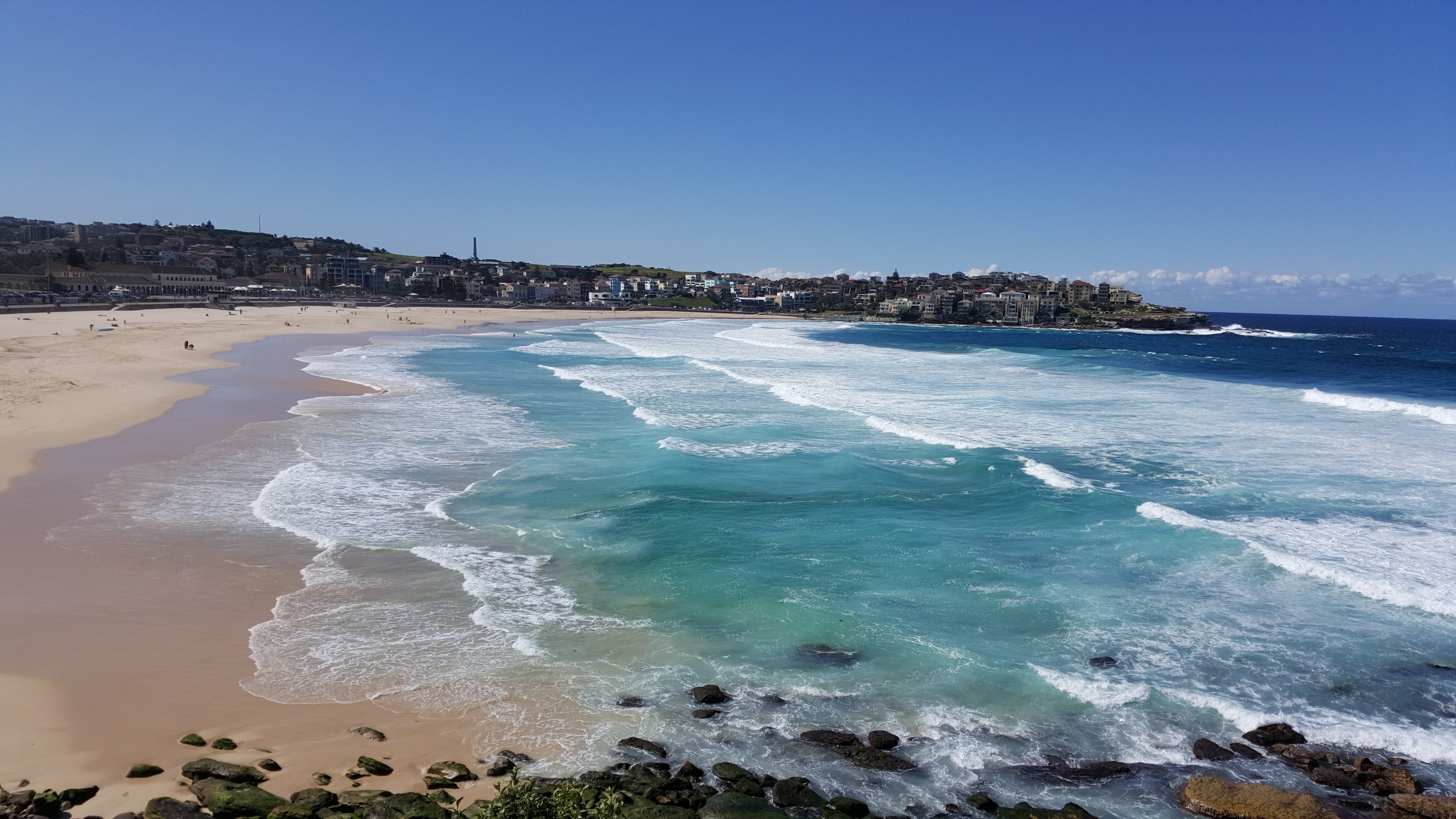
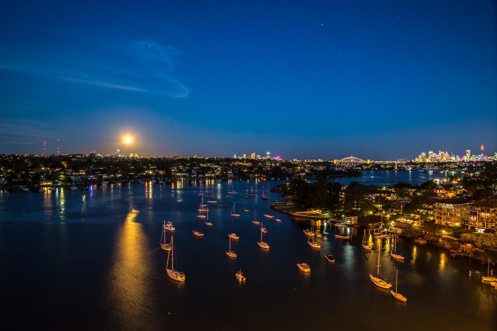
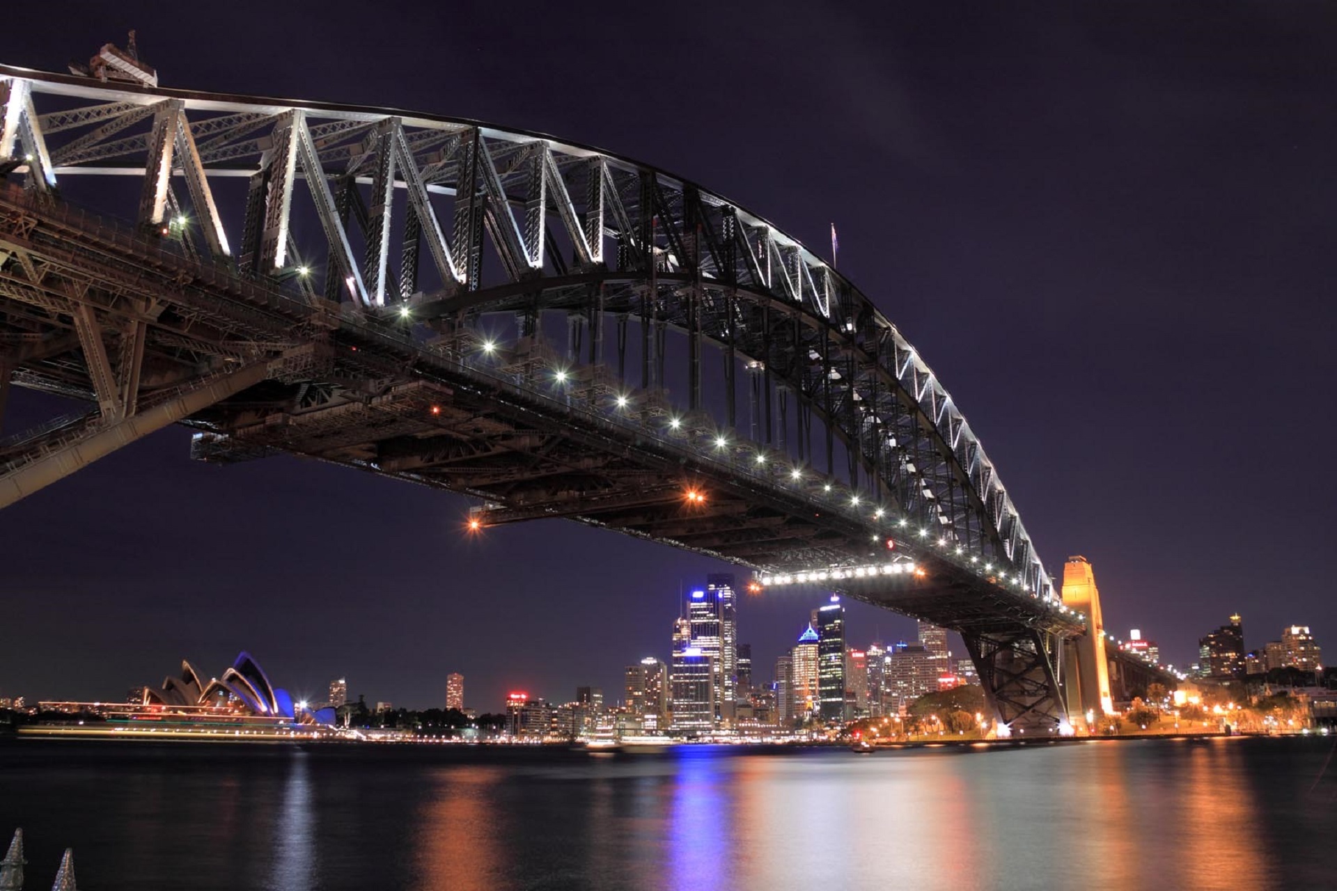
About Sydney, New South Wales
Sydney belongs to the exclusive club of cities that generate excitement. At the end of a marathon flight there's renewed vitality in the cabin as the plane circles the city, where thousands of yachts are suspended on the dark water and the sails of the Opera House glisten in the distance. Blessed with dazzling beaches and a sunny climate, Sydney is among the most beautiful cities on the planet.With 4.6 million people, Sydney is the biggest and most cosmopolitan city in Australia. A wave of immigration from the 1950s has seen the Anglo-Irish immigrants who made up the city's original population joined by Italians, Greeks, Turks, Lebanese, Chinese, Vietnamese, Thais, and Indonesians. This intermingling has created a cultural vibrancy and energy—and a culinary repertoire—that was missing only a generation ago.Sydneysiders embrace their harbor with a passion. Indented with numerous bays and beaches, Sydney Harbour is the presiding icon for the city, and urban Australia. Captain Arthur Phillip, commander of the 11-ship First Fleet, wrote in his diary when he first set eyes on the harbor on January 26, 1788: "We had the satisfaction of finding the finest harbor in the world."Although a visit to Sydney is an essential part of an Australian experience, the city is no more representative of Australia than Los Angeles is of the United States. Sydney has joined the ranks of the great cities whose characters are essentially international. What Sydney offers is style, sophistication, and great looks—an exhilarating prelude to the continent at its back door.
About Newcastle, New South Wales


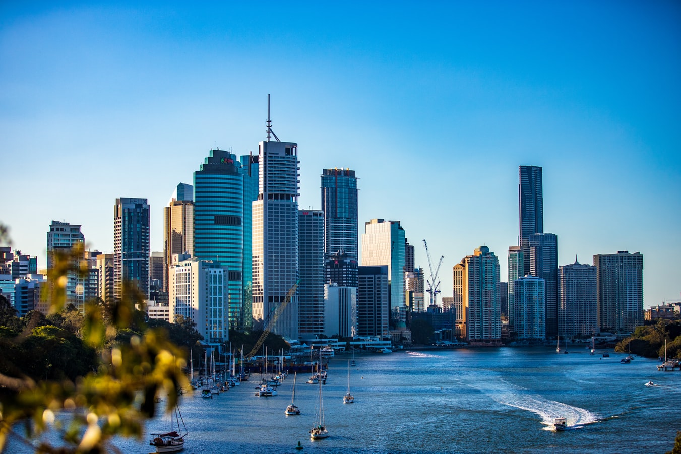
About Brisbane, Queensland
Founded in 1824 on the banks of the wide, meandering Brisbane River, the former penal colony of Brisbane was for many years regarded as just a big country town. Many beautiful timber Queenslander homes, built in the 1800s, still dot the riverbanks and inner suburbs, and in spring the city's numerous parks erupt in a riot of colorful jacaranda, poinciana, and bougainvillea blossoms. Today the Queensland capital is one of Australia's most up-and-coming cities: glittering high-rises mark its polished business center, slick fashion boutiques and restaurants abound, and numerous outdoor attractions beckon. In summer, temperatures here are broilingly hot and days are often humid, a reminder that this city is part of a subtropical region. Wear SPF 30-plus sunscreen and a broad-brimmed hat outdoors, even on overcast days.Brisbane's inner suburbs, a 5- to 10-minute drive or 15- to 20-minute walk from the city center, have a mix of intriguing eateries and quiet accommodations. Fortitude Valley combines Chinatown with a cosmopolitan mix of clubs, cafés, and boutiques. Spring Hill has several high-quality hotels, and Paddington, New Farm, Petrie Terrace, West End, and Woolloongabba are full of an eclectic mix of restaurants and bars. Brisbane is also a convenient base for trips to the Sunshine and Gold coasts, the mountainous hinterlands, and the Moreton Bay islands.


About Mooloolaba, Queensland


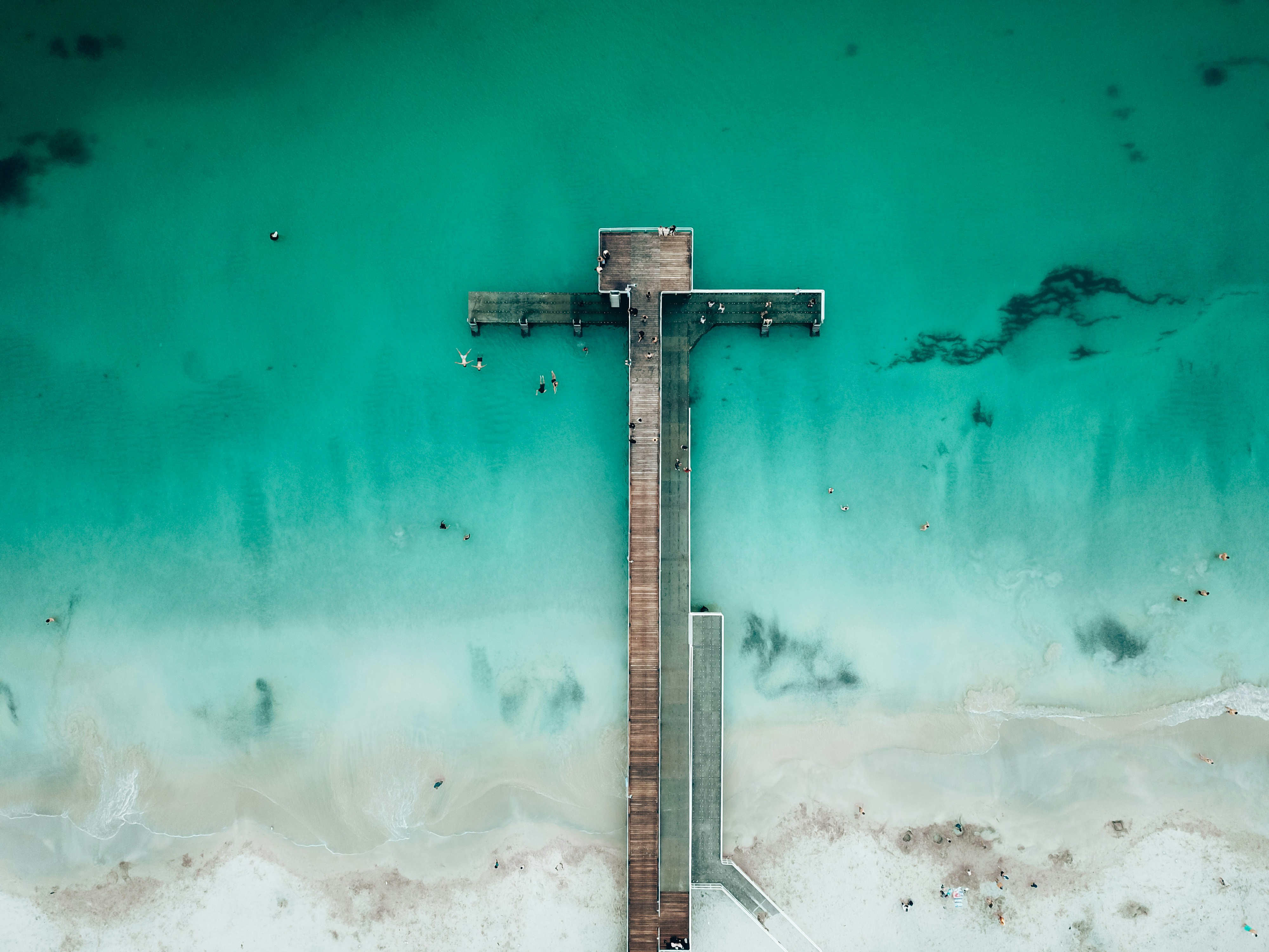
About Fraser Island, Queensland
About Whitsunday Island, Queensland
About Townsville, Queensland
This coastal city has little in the way of sandy beaches or surf, but it does have shady parks, charming colonial buildings, and a boardwalk-flanked waterfront Esplanade with a terrific man-made beach and picnic facilities. The historic town center has thrived recently, with an influx of lively eateries and bars. There are also some excellent museum and a world-class aquarium.Queensland Parks and Wildlife Service has an office on Magnetic Island, but Townsville Enterprise's information kiosks in Flinders Square and the Museum of Tropical Queensland (MTQ), on the mainland, are the best sources of visitor info about the island.

About Cairns, Queensland
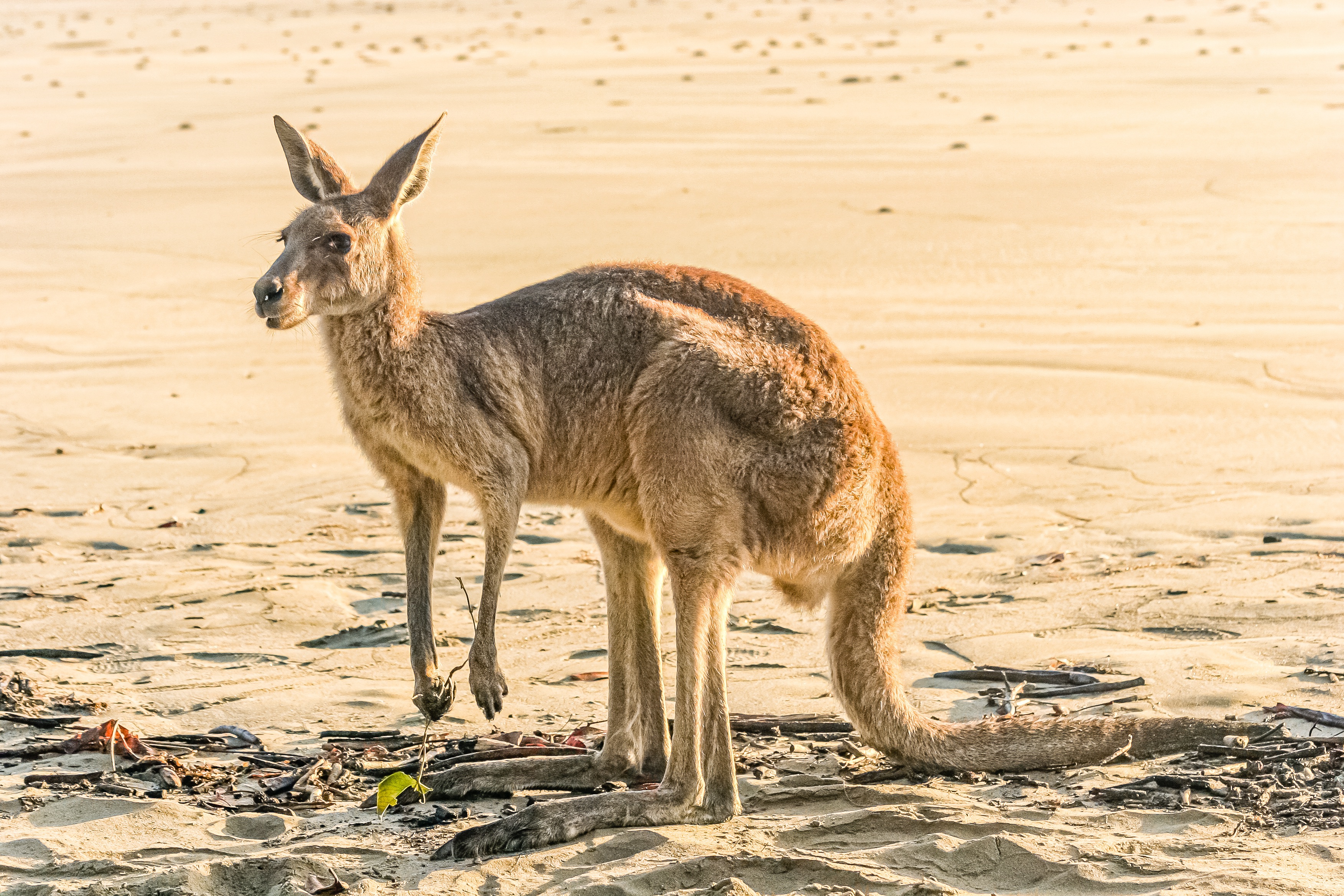
Tourism is the lifeblood of Cairns (pronounced Caans). The city makes a good base for exploring the wild top half of Queensland, and tens of thousands of international travelers use it as a jumping-off point for activities such as scuba diving and snorkeling trips to the Barrier Reef, as well as boating, fishing, parasailing, scenic flights, and rain-forest treks.It's a tough environment, with intense heat and fierce wildlife. Along with wallabies and grey kangaroos in the savannah and tree kangaroos in the rain forest, you'll find stealthy saltwater crocodiles, venomous snakes, and jellyfish so deadly they put the region’s stunning beaches off- limits to swimmers for nearly half the year. Yet despite this formidable setting, Cairns and tropical North Queensland are far from intimidating places. The people are warm and friendly, the sights spectacular, and—at the right time of year—the beachside lounging is world-class.

About Cairns, Queensland
Tourism is the lifeblood of Cairns (pronounced Caans). The city makes a good base for exploring the wild top half of Queensland, and tens of thousands of international travelers use it as a jumping-off point for activities such as scuba diving and snorkeling trips to the Barrier Reef, as well as boating, fishing, parasailing, scenic flights, and rain-forest treks.It's a tough environment, with intense heat and fierce wildlife. Along with wallabies and grey kangaroos in the savannah and tree kangaroos in the rain forest, you'll find stealthy saltwater crocodiles, venomous snakes, and jellyfish so deadly they put the region’s stunning beaches off- limits to swimmers for nearly half the year. Yet despite this formidable setting, Cairns and tropical North Queensland are far from intimidating places. The people are warm and friendly, the sights spectacular, and—at the right time of year—the beachside lounging is world-class.
About Port Douglas, Queensland

About Cooktown, Queensland

About Darwin, Northern Territory
Darwin is Australia's most colorful, and exotic, capital city. Surrounded on three sides by the turquoise waters of the Timor Sea, the streets are lined with tropical flowers and trees. Warm and dry in winter, hot and steamy in summer, it's a relaxed and casual place, as well as a beguiling blend of tropical frontier outpost and Outback hardiness. Thanks to its close proximity to Southeast Asia and its multicultural population it also seems more like Asia than the rest of Australia. Darwin is a city that has always had to fight for its survival. The seductiveness of contemporary Darwin lifestyles belies a history of failed attempts that date from 1824 when Europeans attempted to establish an enclave in this harsh, unyielding climate. The original 1869 settlement, called Palmerston, was built on a parcel of mangrove wetlands and scrub forest that had changed little in 15 million years. It was not until 1911, after it had already weathered the disastrous cyclones of 1878, 1882, and 1897, that the town was named after the scientist who had visited Australia's shores aboard the Beagle in 1839. During World War II it was bombed more than 60 times, as the harbor full of warships was a prime target for the Japanese war planes. Then, on the night of Christmas Eve 1974, the city was almost completely destroyed by Cyclone Tracy, Australia’s greatest natural disaster. It's a tribute to those who stayed and to those who have come to live here after Tracy that the rebuilt city now thrives as an administrative and commercial center for northern Australia. Old Darwin has been replaced by something of an edifice complex—such buildings as Parliament House and the Supreme Court all seem very grand for such a small city, especially one that prides itself on its casual, outdoor-centric lifestyle. Today Darwin is the best place from which to explore Australia's Top End, with its wonders of Kakadu and the Kimberley region.
About Broome, Western Australia
Broome, a coastal town in Western Australia, is famous for its stunning beaches, rich history, and vibrant culture. Located on the Indian Ocean, it boasts Cable Beach, known for its white sand, turquoise waters, and iconic camel rides at sunset. Once a pearling hub, Broome retains its multicultural heritage, reflected in its cuisine and architecture. The town is also the gateway to the Kimberley region, offering breathtaking landscapes and unique natural attractions like the Staircase to the Moon. With warm weather year-round and a laid-back atmosphere, Broome is a perfect destination for adventure, relaxation, and cultural experiences.
About Exmouth, Western Australia

About Fremantle, Western Australia
The port city of Fremantle is a jewel in Western Australia's crown, largely because of its colonial architectural heritage and hippy vibe. Freo (as the locals call it) is a city of largely friendly, interesting, and sometimes eccentric residents supportive of busking, street art, and alfresco dining. Like all great port cities, Freo is cosmopolitan, with mariners from all parts of the world strolling the streets—including thousands of U.S. Navy personnel on rest and recreation throughout the year. It's also a good jumping-off point for a day trip to Rottnest Island, where lovely beaches, rocky coves, and unique wallaby-like inhabitants called quokkas set the scene.Modern Fremantle is a far cry from the barren, sandy plain that greeted the first wave of English settlers back in 1829 at the newly constituted Swan River Colony. Most were city dwellers, and after five months at sea in sailing ships they landed on salt-marsh flats that sorely tested their fortitude. Living in tents with packing cases for chairs, they found no edible crops, and the nearest freshwater was a distant 51 km (32 miles)—and a tortuous trip up the waters of the Swan. As a result they soon moved the settlement upriver to the vicinity of present-day Perth.Fremantle remained the principal port, and many attractive limestone buildings were built to service the port traders. Australia's 1987 defense of the America's Cup—held in waters off Fremantle—triggered a major restoration of the colonial streetscapes. In the leafy suburbs nearly every other house is a restored 19th-century gem.
About Busselton, Western Australia

About Esperance, Western Australia
About Port Lincoln, South Australia
Port Lincoln is the second-largest city on the lower Eyre Peninsula in the Australian state of South Australia. Nestled on the shore of Boston Bay, Australia's largest natural harbour, Port Lincoln opens eastward into Spencer Gulf. Port Lincoln is the largest city in the west coast region, and located approximately 174 miles (280 kilometres) from the capital city of Adelaide. Port Lincoln has a contrasting coastal landscape, ranging from sheltered waters and beaches to surf beaches and rugged oceanic coastline. The Great South Australian Coastal Upwelling System brings cold, nutrient-rich water into nearby waters of the Great Australian Bight and Spencer Gulf. This phenomenon supports lucrative fisheries, including that of the southern bluefin tuna and sardine, making Port Lincoln locally-renowned as the 'Seafood Capital of Australia'. The Eyre Peninsula has been home to Aboriginal people for thousands of years. The Nauo (south-western Eyre), Barngarla (eastern Eyre), Wirangu (north-western Eyre) and Mirning (far-western Eyre) being the predominant original cultural groups present at the time of the arrival of Europeans. Port Lincoln was discovered by Matthew Flinders under his commission by the British Admiralty to chart Australia's unexplored coastline. Flinders dropped anchor in Boston Bay in February 1802, and named the spot Port Lincoln after his native Lincolnshire in England. Port Lincoln was initially considered as the alternative site for the State's capital, but was subsequently rejected by Colonel Light in 1836 in favour of Adelaide; a lack of fresh water supplies was a major determining factor. The first settlers arrived in Port Lincoln in March 1839 aboard the Abeona, the Dorset and the Porter. There is an historic plaque at the First Landing site to commemorate the event. In the years since, Port Lincoln has evolved into one of the nation's biggest combined agricultural, fishing and aquaculture industries, with tourism becoming a major contributor towards the local economy. Port Lincoln offers ample opportunities to explore its unique blend of cultures and storied past. The local culture, traditions and storied past can be experienced during visits to any of Port Lincoln's scenic and informative museums. The Axel Stenross Museum is filled with maritime history, relics and artefacts from windjammer days. The Koppio Smithy National Trust Museum is a vast, Heritage-listed, open-air museum nestled amidst the rolling hills of Koppio, and replete with buildings and artefacts representing the early pioneer heritage of Eyre Peninsula. The Mt. Dutton Bay Woolshed Museum is a Heritage-listed 'working' museum consisting of hundreds of local artefacts depicting the history of Port Lincoln's historic shearing, farming and fishing era. The National Trust 'Mill Cottage' offers visitors a unique opportunity to explore the pioneering life of the Bishop family, one of Port Lincoln's first settlement families, during a visit to their 1866 home. The Railway Museum provides an authentic setting for many of the museum displays, with many internal features still intact from the days when it was an active railway station. Port Lincoln is home to 148,263 acres (60,000 hectares) of national parks, with abundant beaches, local wildlife, flora and fauna, 250 bird species, and breath-taking panoramic vistas of Boston Bay, Spencer Gulf and beyond. Port Lincoln National Park, Coffin Bay National Park and Kellidie Bay Conservation Park are all located nearby, and represent a unique opportunity to explore Port Lincoln's exquisite natural and coastal beauty. Land-based outdoor excursions include bird-watching, scenic walking tours, off-road 4WD excursions and wildlife tours at the Glen-Forest Tourist Park and Wilderness Wanders Adventure Tours, or a relaxing round of golf at the Port Lincoln Golf Club, located 6.2 miles (10 kilometres) from Port Lincoln. The abundant blue waters off Port Lincoln, Boston Bay, Spencer Gulf and the ocean beyond are ideally-suited for aquaculture tours, windsurfing, surfing, snorkelling, scuba-diving, fishing, boating, sailing, swimming with bluefin tuna at Swim with the Tuna, and shark cage-diving and swimming with sea lions, seals, rays, and grouper at Calypso Star Charters and Rodney Fox Shark Expeditions. Due to its compact size, Port Lincoln can be easily explored in just a single day.

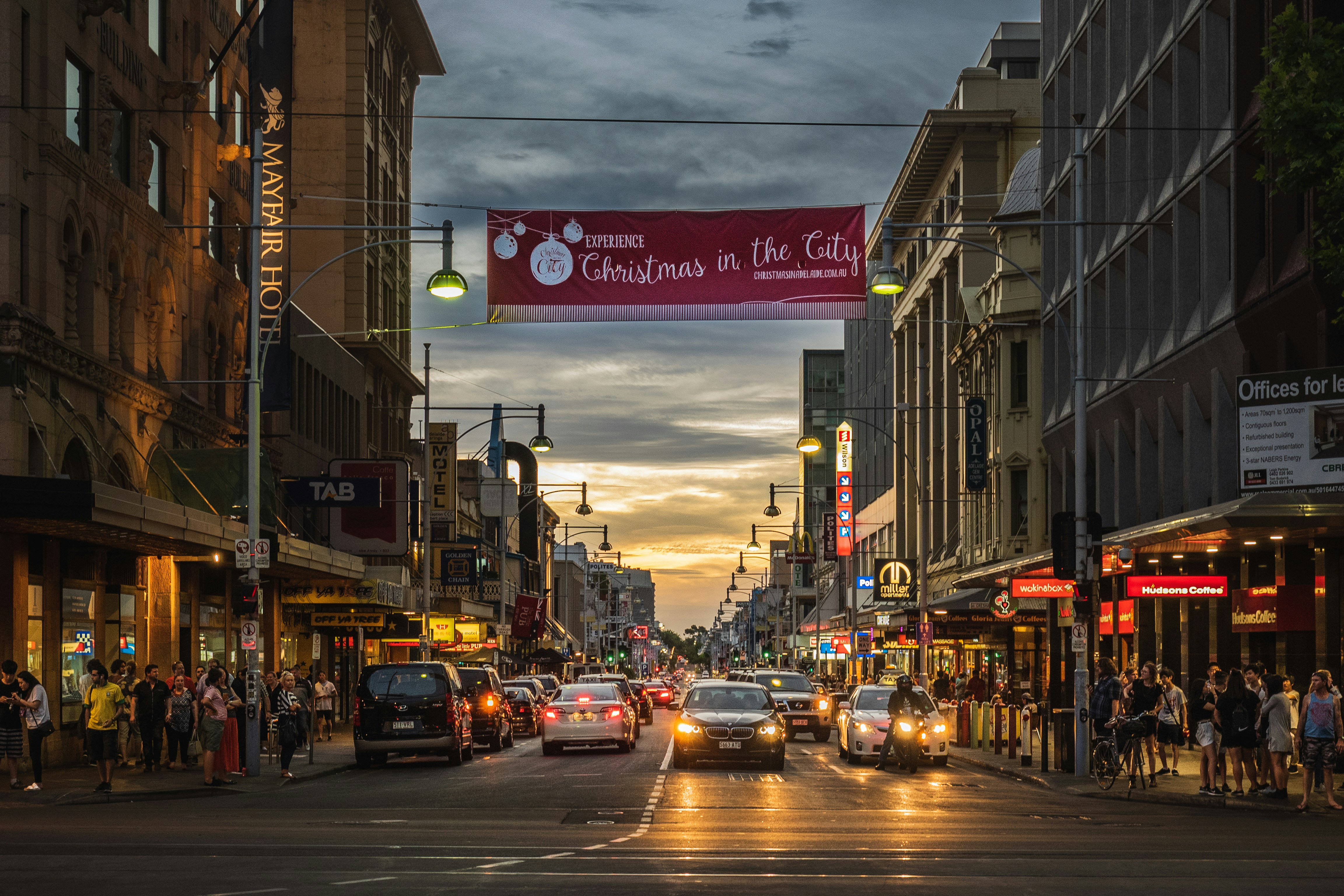
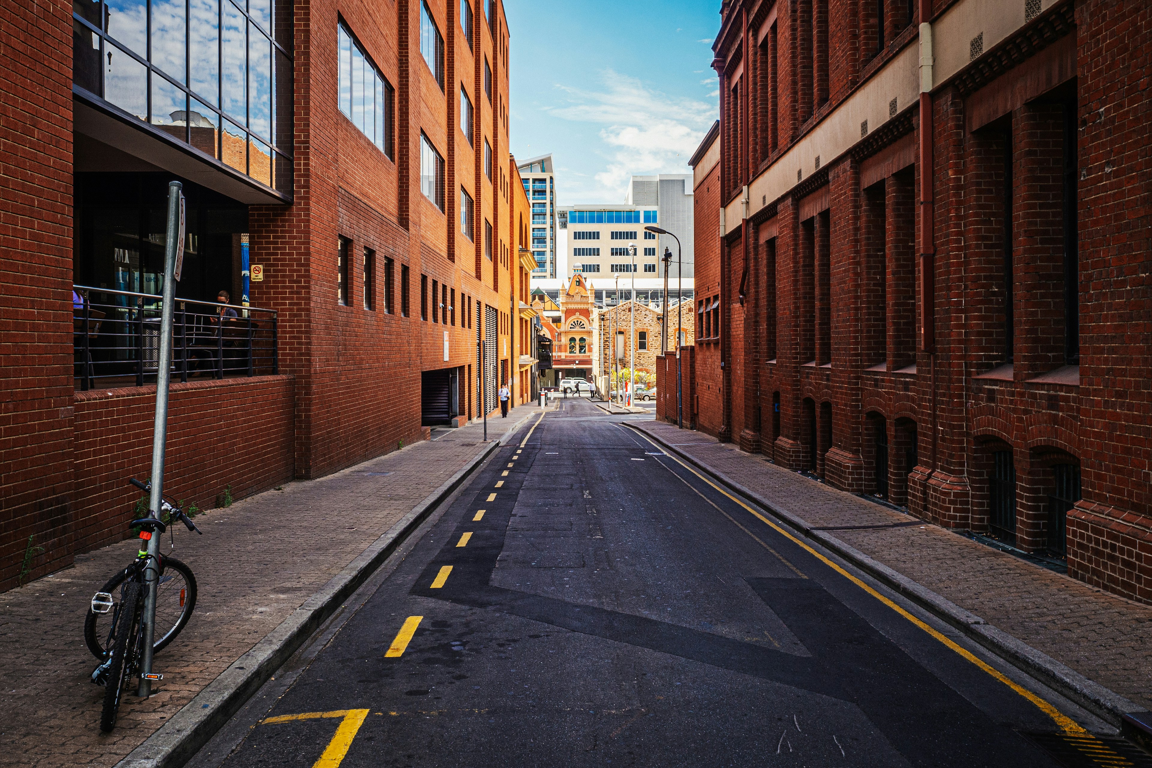
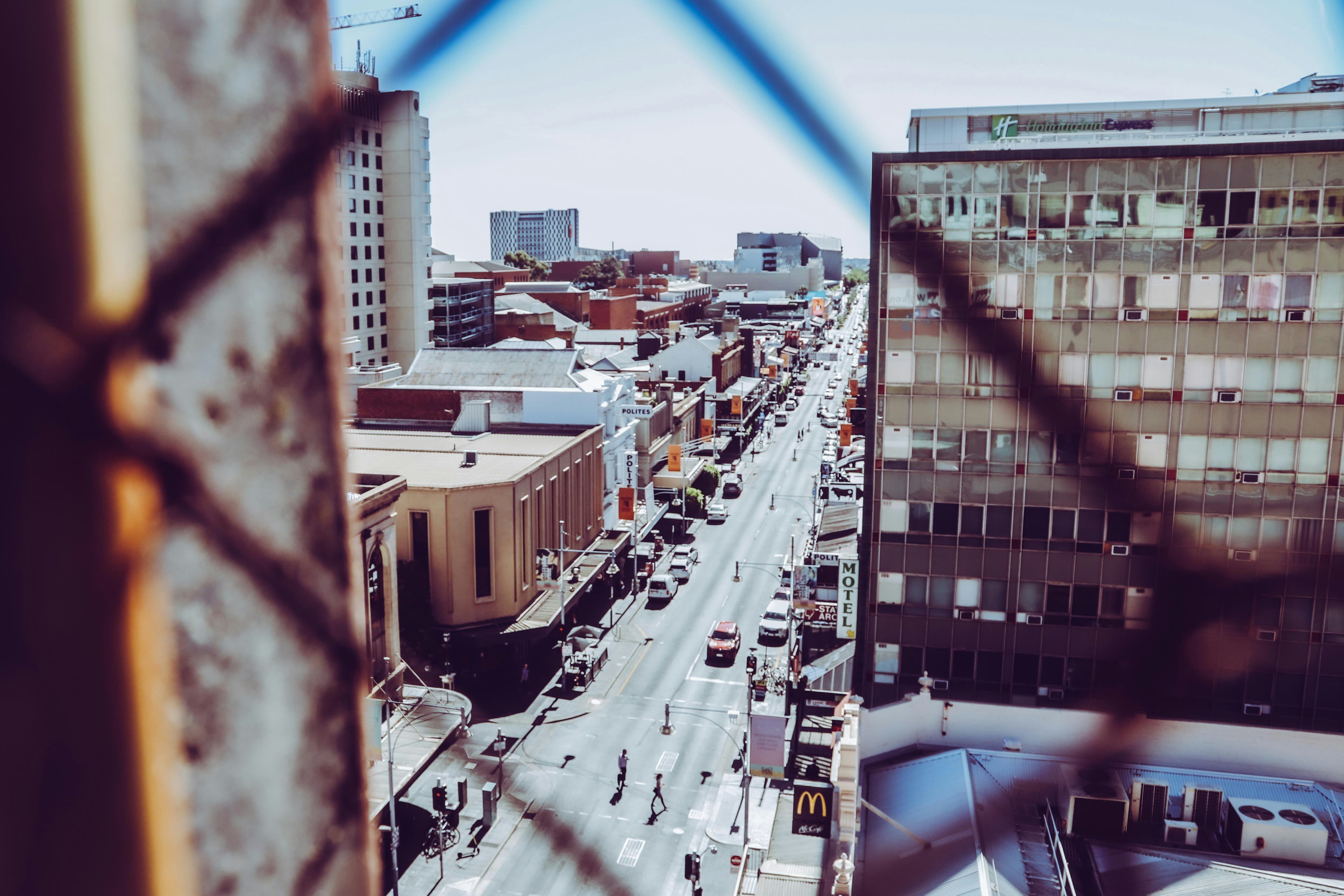
About Adelaide, South Australia
Australians think of Adelaide as a city of churches, but Adelaide has outgrown its reputation as a sleepy country town dotted with cathedrals and spires. The Adelaide of this millennium is infinitely more complex, with a large, multiethnic population and thriving urban art and music scenes supported by a "space activation program" that encourages pop-up shops, markets, performances, street food, mini festivals, art exhibitions, and other "off-the-cuff" experiences in the cities underutilized streets and public spaces.Bright and clean, leafy and beautiful Adelaide is a breeze to explore, with a grid pattern of streets encircled by parkland. The heart of the greenbelt is divided by the meandering River Torrens, which passes the Festival Centre in its prettiest stretch.
About Kangaroo Island, South Australia
Kangaroo Island is with 1,740 square miles the third largest island off the coast of Australia. It is 96 miles long and 34 miles wide, and known for its outstanding natural beauty. Due to its remote location, Kangaroo Island was less affected than the mainland by the impact of European development. To this day, the island is rich in diverse flora and fauna seldom found elsewhere. As one of the world’s last unspoiled wilderness places, about 30 percent of the island has been designated as National Parks. The most important one is Flinders Chase at the western end of Kangaroo Island, with Seal Bay Conservation Park following close behind. Its large sandy beach and dune area is home to Australian sea lions where they come to rest and nurse their young. Kingscote, formerly known as Queenscliffe, is the largest town on the island and its main supply depot. Tourism is a significant element in the local economy. A mix of attractive small townships, wildlife sanctuaries and fascinating wilderness areas guarantee a steady stream of visitors each year.

About Robe, South Australia
About Hobart, Tasmania
Straddling the Derwent River at the foot of Mt. Wellington's forested slopes, Hobart was founded as a penal settlement in 1803. It's the second-oldest city in the country after Sydney, and it certainly rivals its mainland counterpart as Australia's most beautiful state capital. Close-set colonial brick-and-sandstone shops and homes line the narrow, quiet streets, creating a genteel setting for this historic city of 215,000. Life revolves around the broad Derwent River port, one of the deepest harbors in the world. Here warehouses that once stored Hobart's major exports of fruit, wool, and corn and products from the city's former whaling fleet still stand alongside the wharf today.Hobart sparkles between Christmas and New Year's—summer Down Under—during the annual Sydney-to-Hobart yacht race. The event dominates conversations among Hobart's citizens, who descend on Constitution Dock to welcome the yachts and join in the boisterous festivities of the crews. The New Year also coincides with the Tastes of Tasmania Festival, when the dockside area comes alive with the best of Tasmanian food and wine on offer in numerous cafés, bars, and waterfront stalls. Otherwise, Hobart is a placid city whose nightlife is largely confined to excellent restaurants, jazz clubs, and the action at the Wrest Point Casino in Sandy Bay.The Hobart Tasmanian Travel and Information Centre hours are weekdays 8:30–5:30 and Saturday 9–5.
About Melbourne, Victoria
Consistently rated among the "world's most livable cities" in quality-of-life surveys, Melbourne is built on a coastal plain at the top of the giant horseshoe of Port Phillip Bay. The city center is an orderly grid of streets where the state parliament, banks, multinational corporations, and splendid Victorian buildings that sprang up in the wake of the gold rush now stand. This is Melbourne's heart, which you can explore at a leisurely pace in a couple of days.In Southbank, one of the newer precincts south of the city center, the Southgate development of bars, restaurants, and shops has refocused Melbourne's vision on the Yarra River. Once a blighted stretch of factories and run-down warehouses, the southern bank of the river is now a vibrant, exciting part of the city, and the river itself is finally taking its rightful place in Melbourne's psyche.Just a hop away, Federation Square—with its host of galleries—has become a civic landmark for Melburnians. Stroll along the Esplanade in the suburb of St. Kilda, amble past the elegant houses of East Melbourne, enjoy the shops and cafés in Fitzroy or Carlton, rub shoulders with locals at the Victoria Market, nip into the Windsor for afternoon tea, or rent a canoe at Studley Park to paddle along one of the prettiest stretches of the Yarra—and you may discover Melbourne's soul as well as its heart.


Where You'll Go


