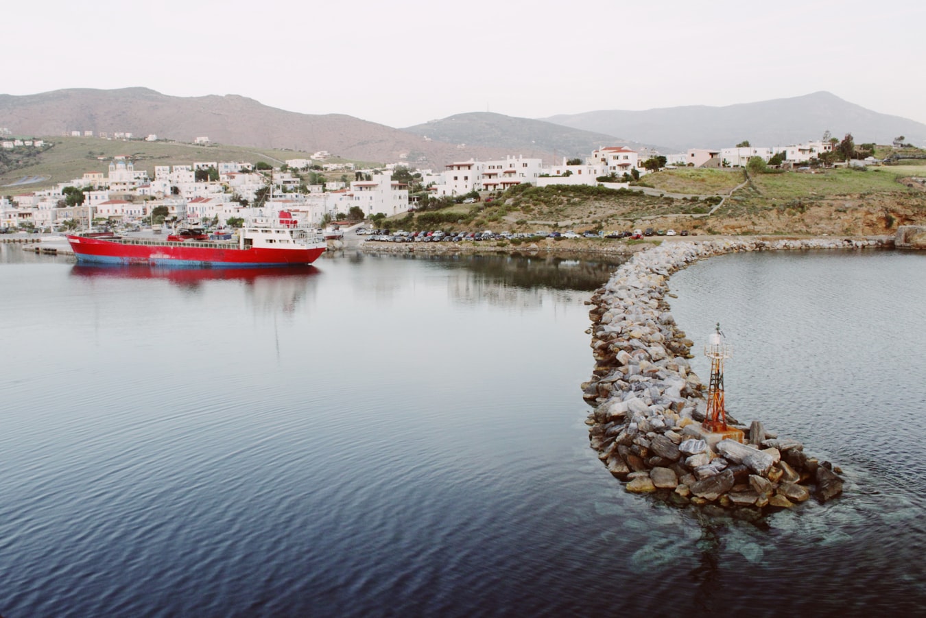
Delphi & Meteora: Grecian Treasures Cruise Tour
Delphi & Meteora: Grecian Treasures Cruise Tour
Cruise overview
WHY BOOK WITH US?
- ✔ The Deluxe Cruises’ team has extensive experience in ultra-luxury cruising.
- ✔ Call now to speak to our helpful and experienced Cruise Concierge team.
- ✔ Enjoy our Unique Deluxe Cruises Bonus for substantial savings.
- ✔ Our team will tailor your holiday to your exacting requirements.
- ✔ As agents, we work under the protection of each cruise lines ABTA / ATOL licences
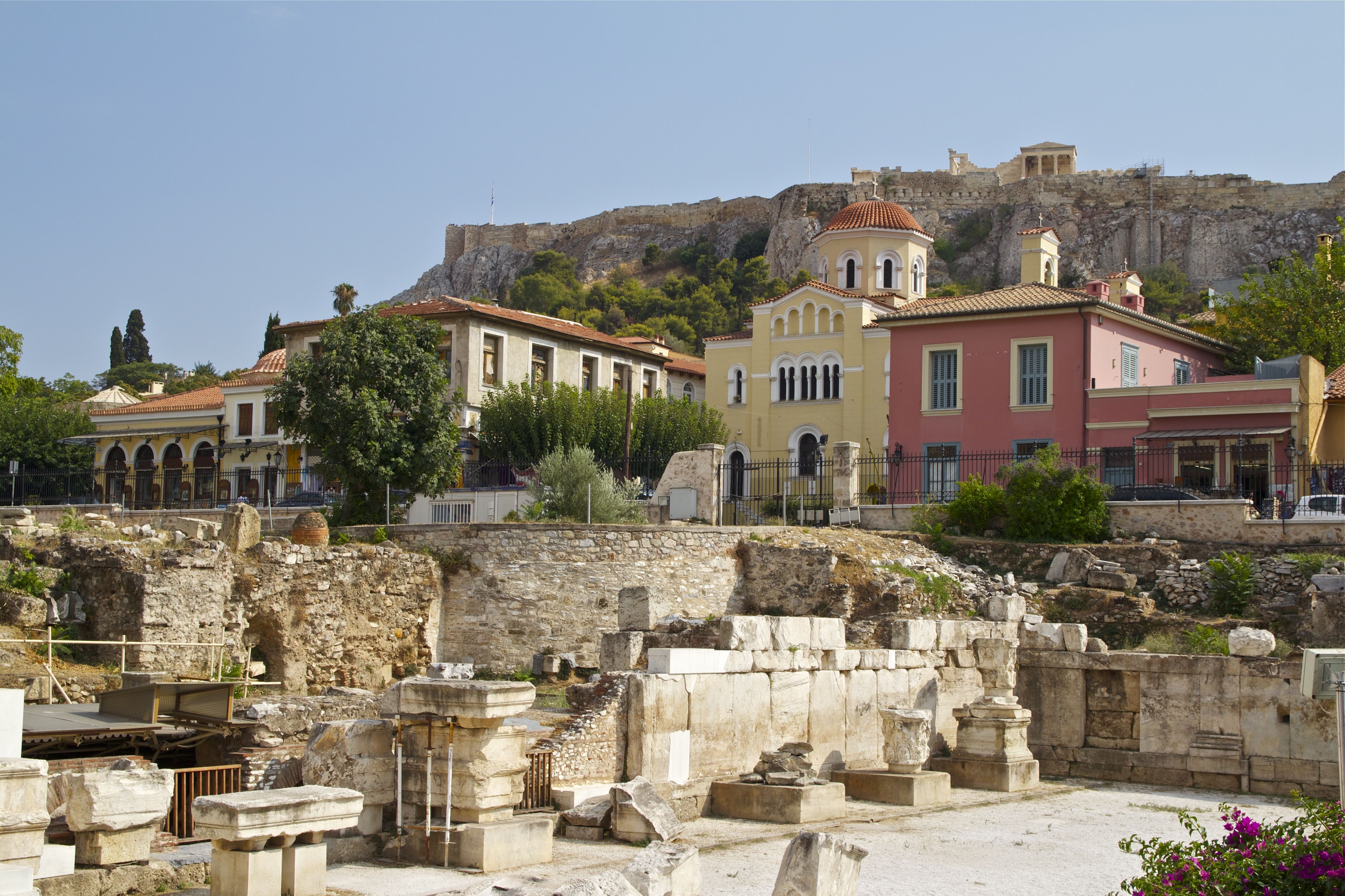
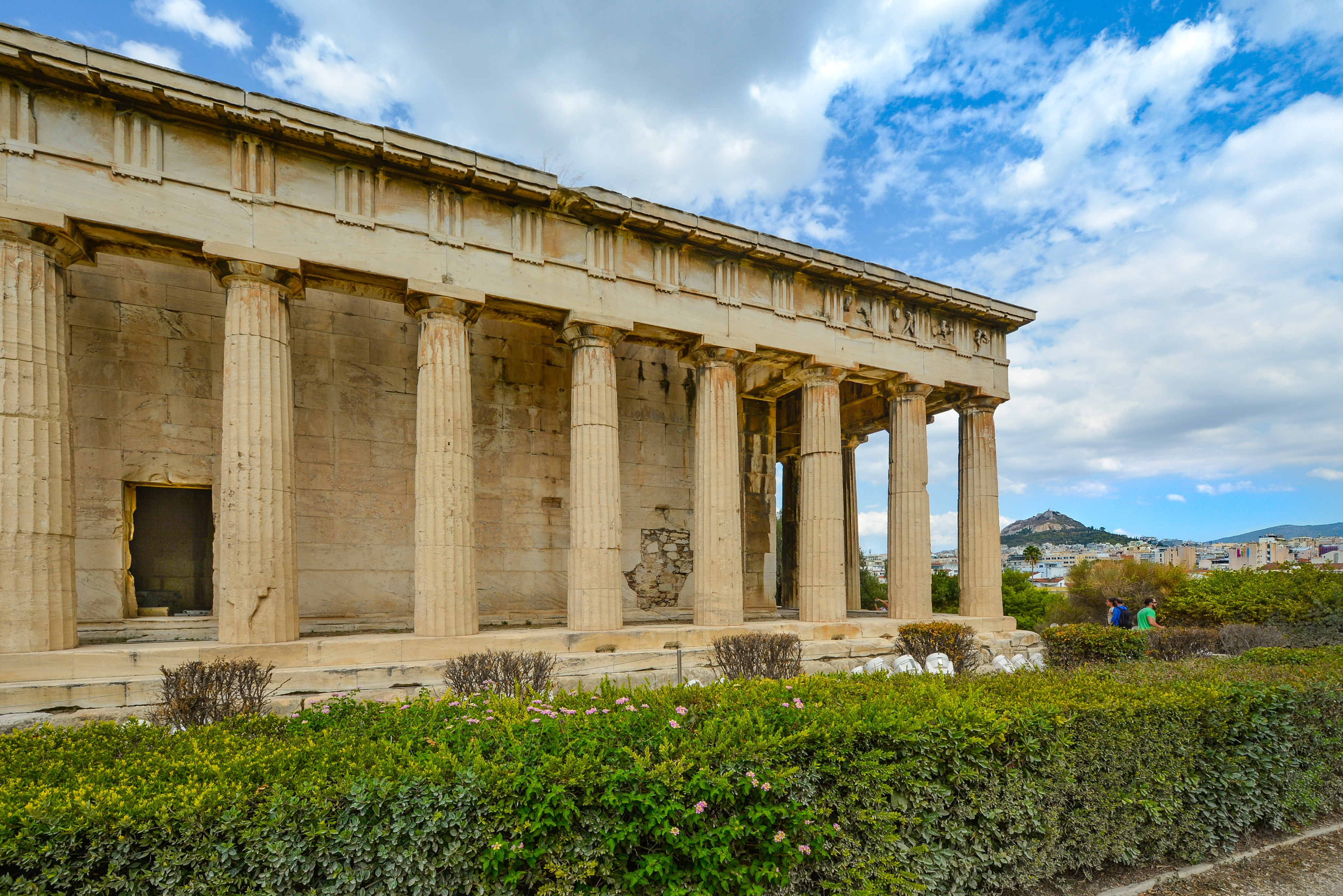
About Athens

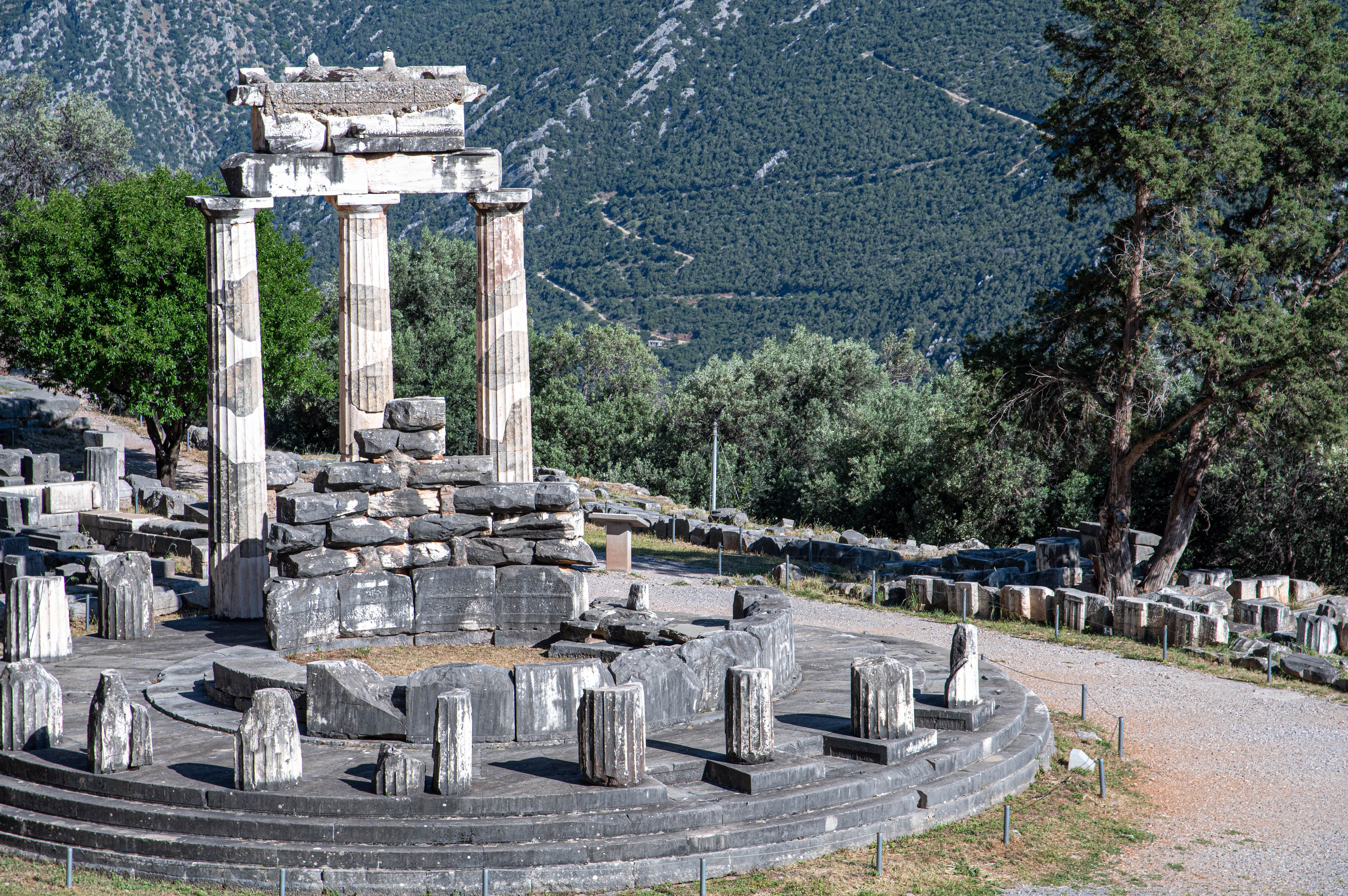
About Delphi
About Athens


About Athens


About Athens


About Mykonos
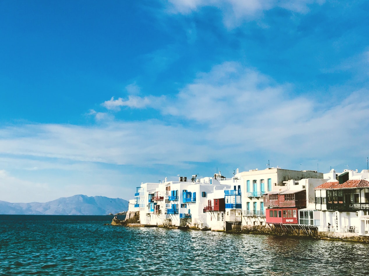
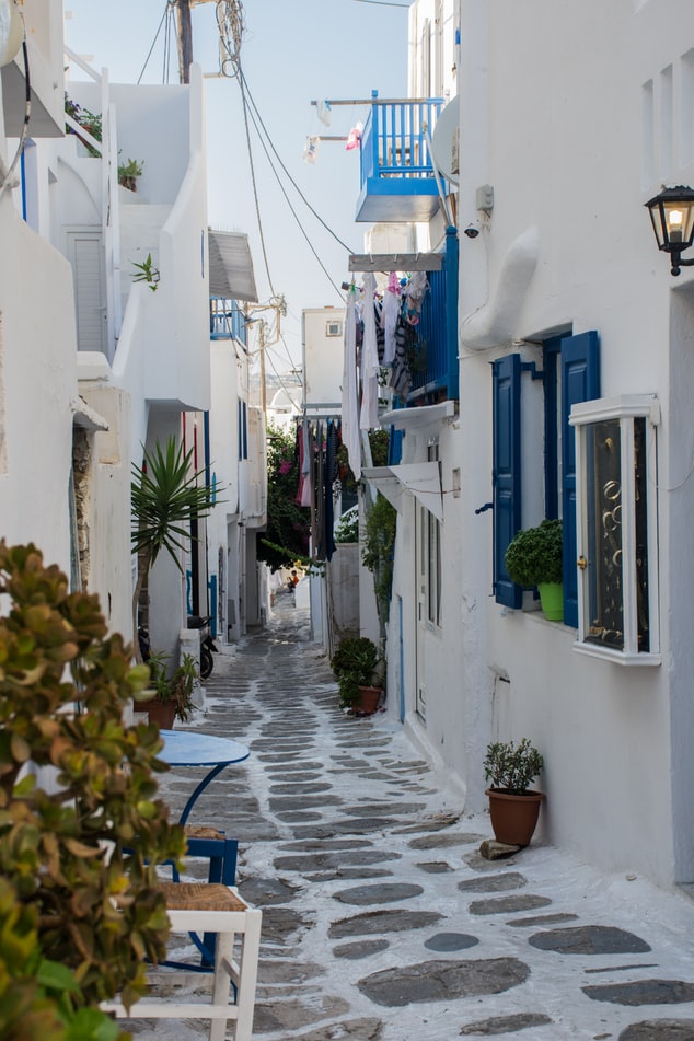
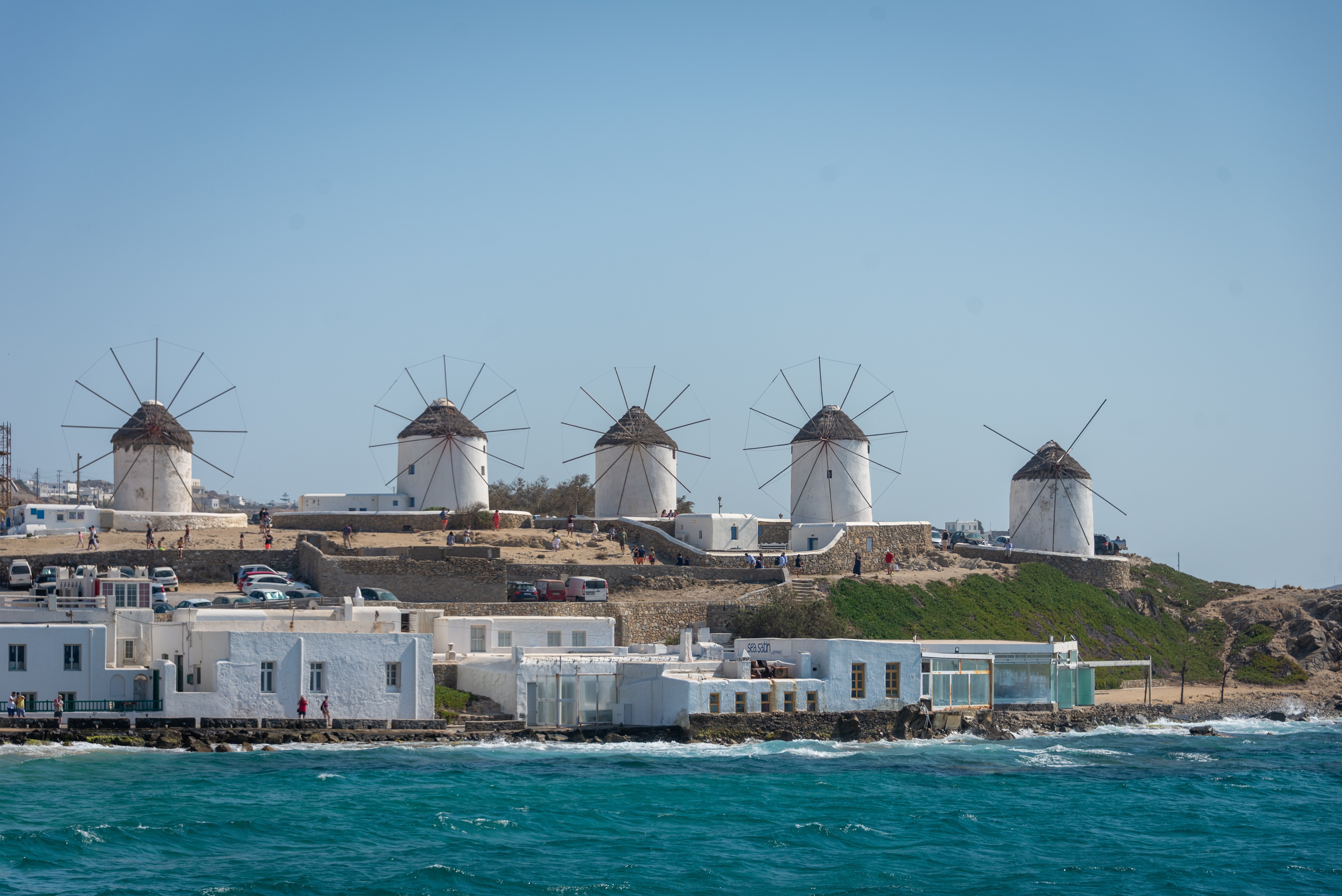
Although the fishing boats still go out in good weather, Mykonos largely makes its living from tourism these days. The summer crowds have turned one of the poorest islands in Greece into one of the richest. Old Mykonians complain that their young, who have inherited stores where their grandfathers once sold eggs or wine, get so much rent that they have lost ambition, and in summer sit around pool bars at night with their friends, and hang out in Athens in winter when island life is less scintillating. Put firmly on the map by Jackie O in the 1960s, Mykonos town—called Hora by the locals—remains the Saint-Tropez of the Greek islands. The scenery is memorable, with its whitewashed streets, Little Venice, the Kato Myli ridge of windmills, and Kastro, the town's medieval quarter. Its cubical two- or three-story houses and churches, with their red or blue doors and domes and wooden balconies, have been long celebrated as some of the best examples of classic Cycladic architecture. Luckily, the Greek Archaeological Service decided to preserve the town, even when the Mykonians would have preferred to rebuild, and so the Old Town has been impressively preserved. Pink oleander, scarlet hibiscus, and trailing green pepper trees form a contrast amid the dazzling whiteness, whose frequent renewal with whitewash is required by law. Any visitor who has the pleasure of getting lost in its narrow streets (made all the narrower by the many outdoor stone staircases, which maximize housing space in the crowded village) will appreciate how its confusing layout was designed to foil pirates—if it was designed at all. After Mykonos fell under Turkish rule in 1537, the Ottomans allowed the islanders to arm their vessels against pirates, which had a contradictory effect: many of them found that raiding other islands was more profitable than tilling arid land. At the height of Aegean piracy, Mykonos was the principal headquarters of the corsair fleets—the place where pirates met their fellows, found willing women, and filled out their crews. Eventually the illicit activity evolved into a legitimate and thriving trade network. Morning on Mykonos town's main quay is busy with deliveries, visitors for the Delos boats, lazy breakfasters, and street cleaners dealing with the previous night's mess. In late morning the cruise-boat people arrive, and the shops are all open. In early afternoon, shaded outdoor tavernas are full of diners eating salads (Mykonos's produce is mostly imported); music is absent or kept low. In mid- and late afternoon, the town feels sleepy, since so many people are at the beach, on excursions, or sleeping in their air-conditioned rooms; even some tourist shops close for siesta. By sunset, people have come back from the beach, having taken their showers and rested. At night, the atmosphere in Mykonos ramps up. The cruise-boat people are mostly gone, coughing three-wheelers make no deliveries in the narrow streets, and everyone is dressed sexy for summer and starting to shimmy with the scene. Many shops stay open past midnight, the restaurants fill up, and the bars and discos make ice cubes as fast as they can. Ready to dive in? Begin your tour of Mykonos town (Hora) by starting out at its heart: Mando Mavrogenous Square.

About Kusadasi
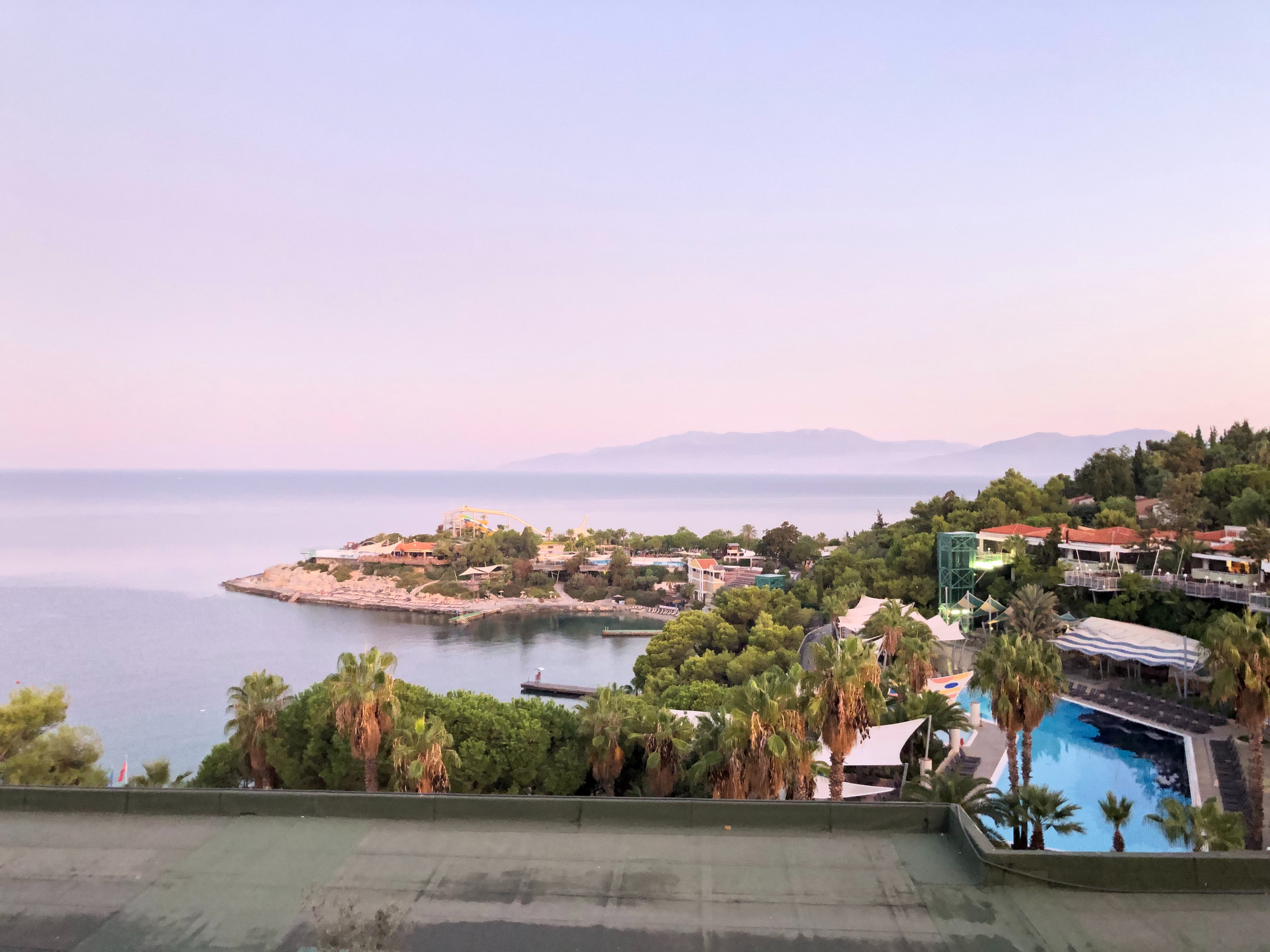
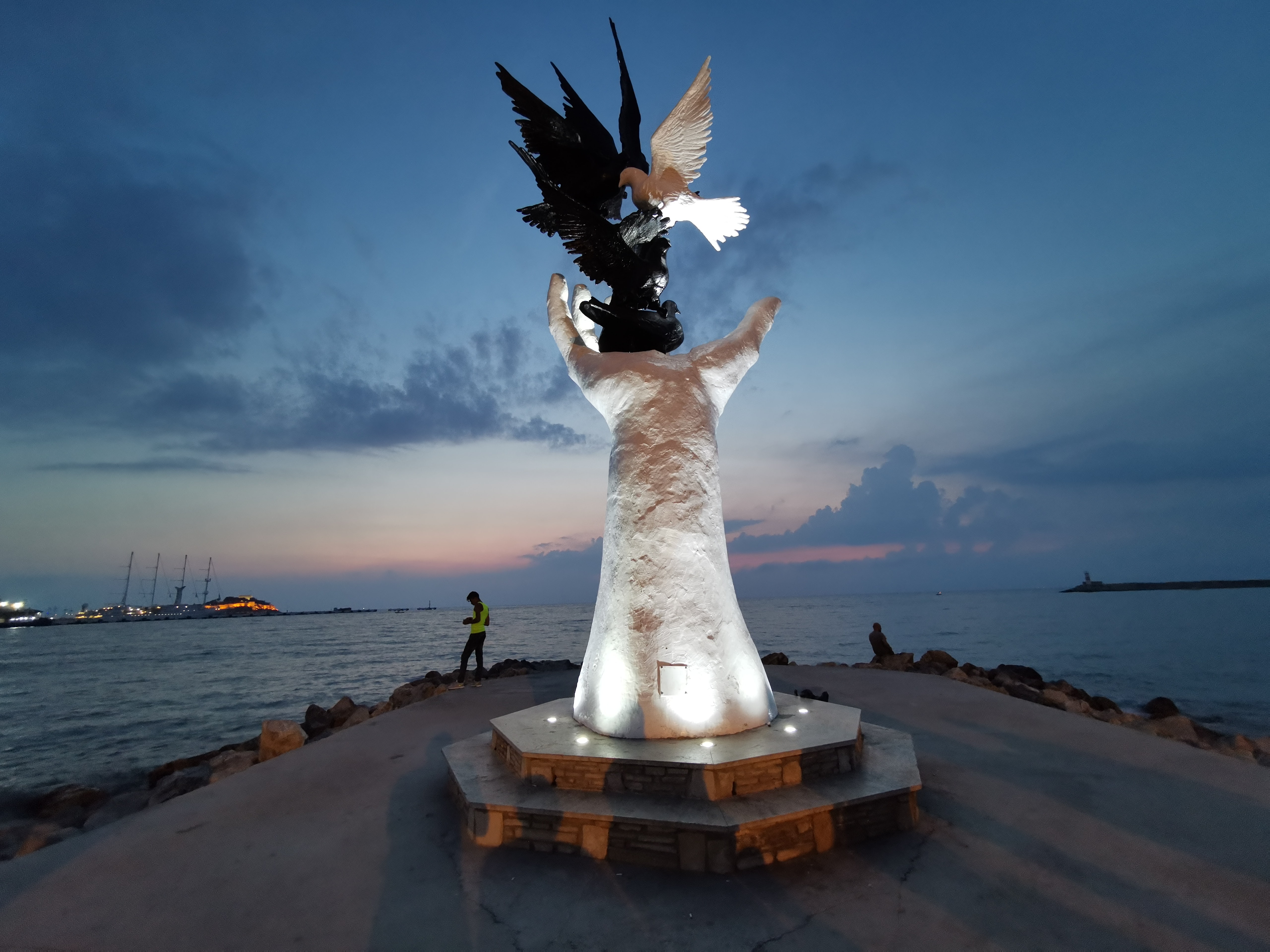
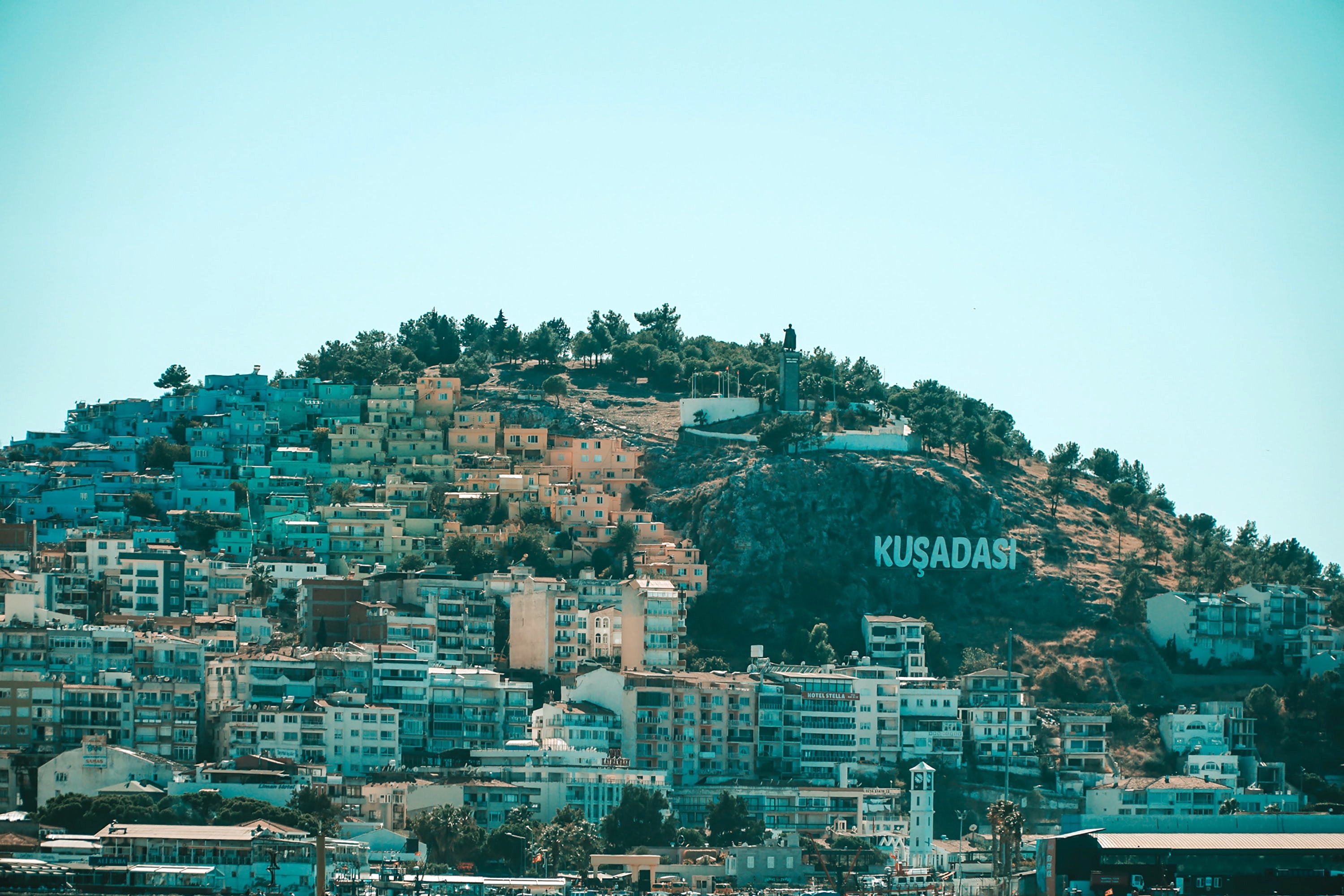
Whilst the busy resort town of Kusadasi offers much in the way of shopping and dining – not to mention a flourishing beach life scene, the real jewel here is Ephesus and the stunning ruined city that really take centre stage. With only 20% of the classical ruins having been excavated, this archaeological wonder has already gained the status as Europe’s most complete classical metropolis. And a metropolis it really is; built in the 10th century BC this UNESCO World Heritage site is nothing short of spectacular. Although regrettably very little remains of the Temple of Artemis (one of the seven wonders of the ancient world), the superb Library of Celsus’ façade is practically intact and it is one of life’s great joys to attend an evening performance in the illuminated ruins once all the tourists have left. The history of the city is fascinating and multi-layered and it is well worth reading up on this beforehand if a visit is planned. Another point of interest for historians would be the house of the Virgin Mary, located on the romantically named Mount Nightingale and just nine kilometres away from Ephesus proper. Legend has it that Mary (along with St. John) spent her final years here, secluded from the rest of the population, spreading Christianity. An edifying experience, even for non-believers. For the less historical minded amongst you, Kusadasi offers plenty in the way of activities. After a stroll through the town, jump in a taxi to Ladies’ Beach (men are allowed), sample a Turkish kebap on one of the many beachfront restaurants and enjoy the clement weather. If you do want to venture further afield, then the crystal clear beaches of Guzelcamli (or the Millipark), the cave of Zeus and the white scalloped natural pools at Pamukkale, known as Cleopatra’s pools, are definitely worth a visit.


About Pátmos
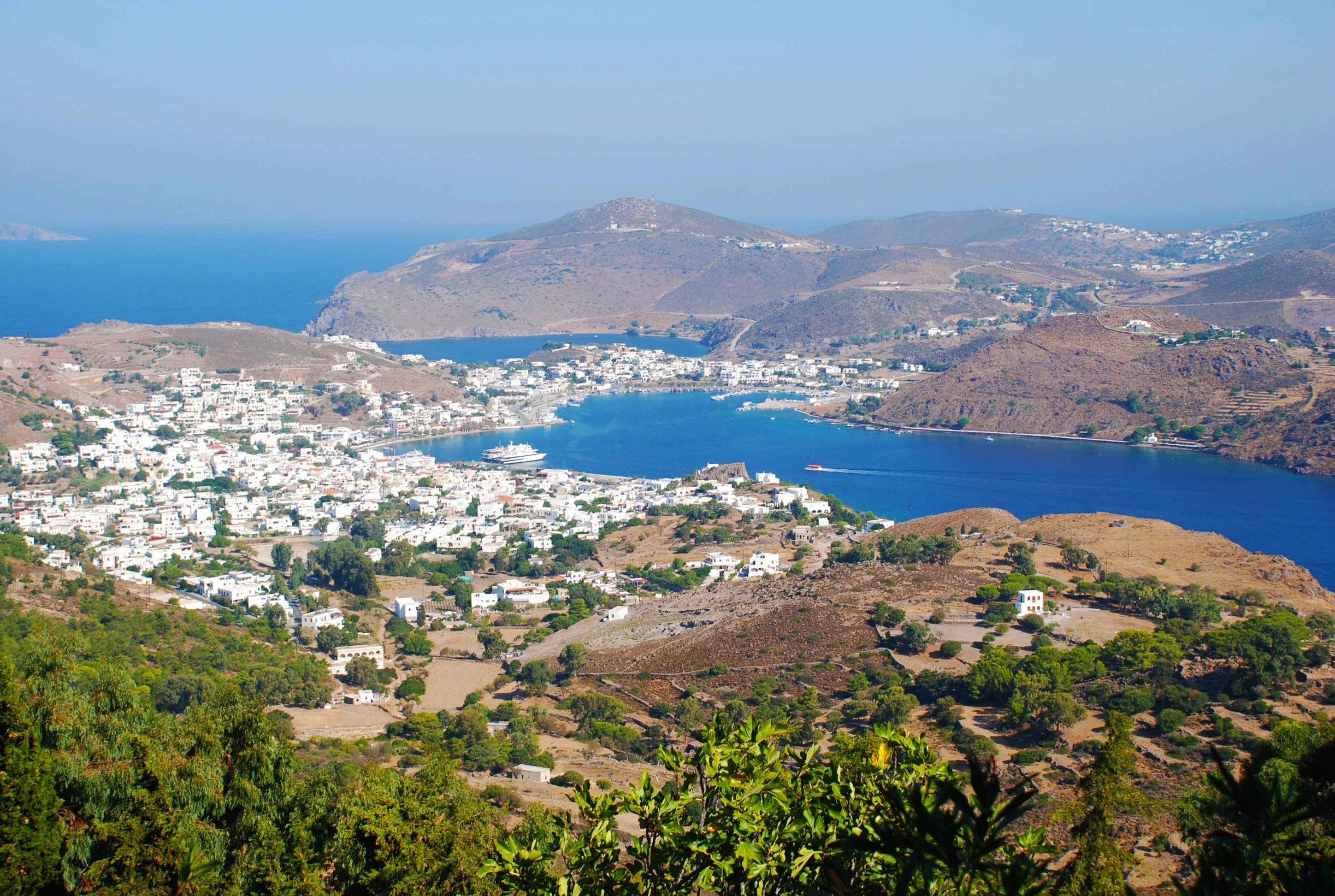
For better or worse, it can be difficult to reach Patmos—for many travelers, this lack of access is definitely for the better, since the island retains the air of an unspoiled retreat. Rocky and barren, the small, 34-square-km (21-square-mi) island lies beyond the islands of Kalymnos and Leros, northwest of Kos. Here on a hillside is the Monastery of the Apocalypse, which enshrines the cave where St. John received the Revelation in AD 95. Scattered evidence of Mycenaean presence remains on Patmos, and walls of the classical period indicate the existence of a town near Skala. Most of the island's approximately 2,800 people live in three villages: Skala, medieval Chora, and the small rural settlement of Kambos. The island is popular among the faithful making pilgrimages to the monastery as well as with vacationing Athenians and a newly growing community of international trendsetters—designers, artists, poets, and “taste gurus” (to quote Vogue’s July 2011 write-up of the island)—who have bought homes in Chora. These stylemeisters followed in the footsteps of Alexandrian John Stefanidis and the English artist Teddy Millington-Drake who, in the early ’60s, set about creating what eventually became hailed as one of the most gorgeous island homes in the world. The word soon spread thanks to their many guests (who included Jacqueline Kennedy Onassis) but, happily, administrators have carefully contained development, and as a result, Patmos retains its charm and natural beauty—even in the busy month of August.

About Santorini
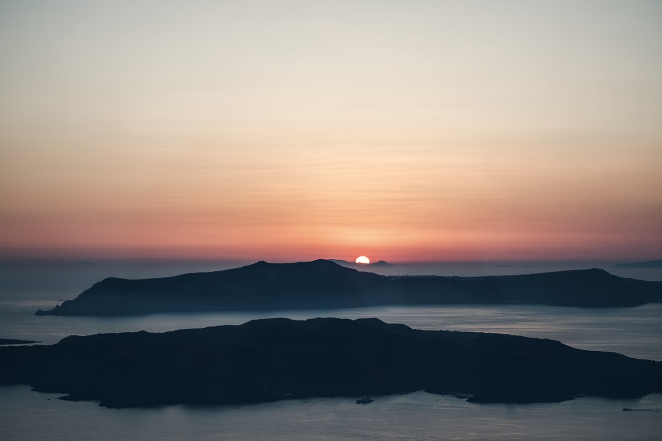
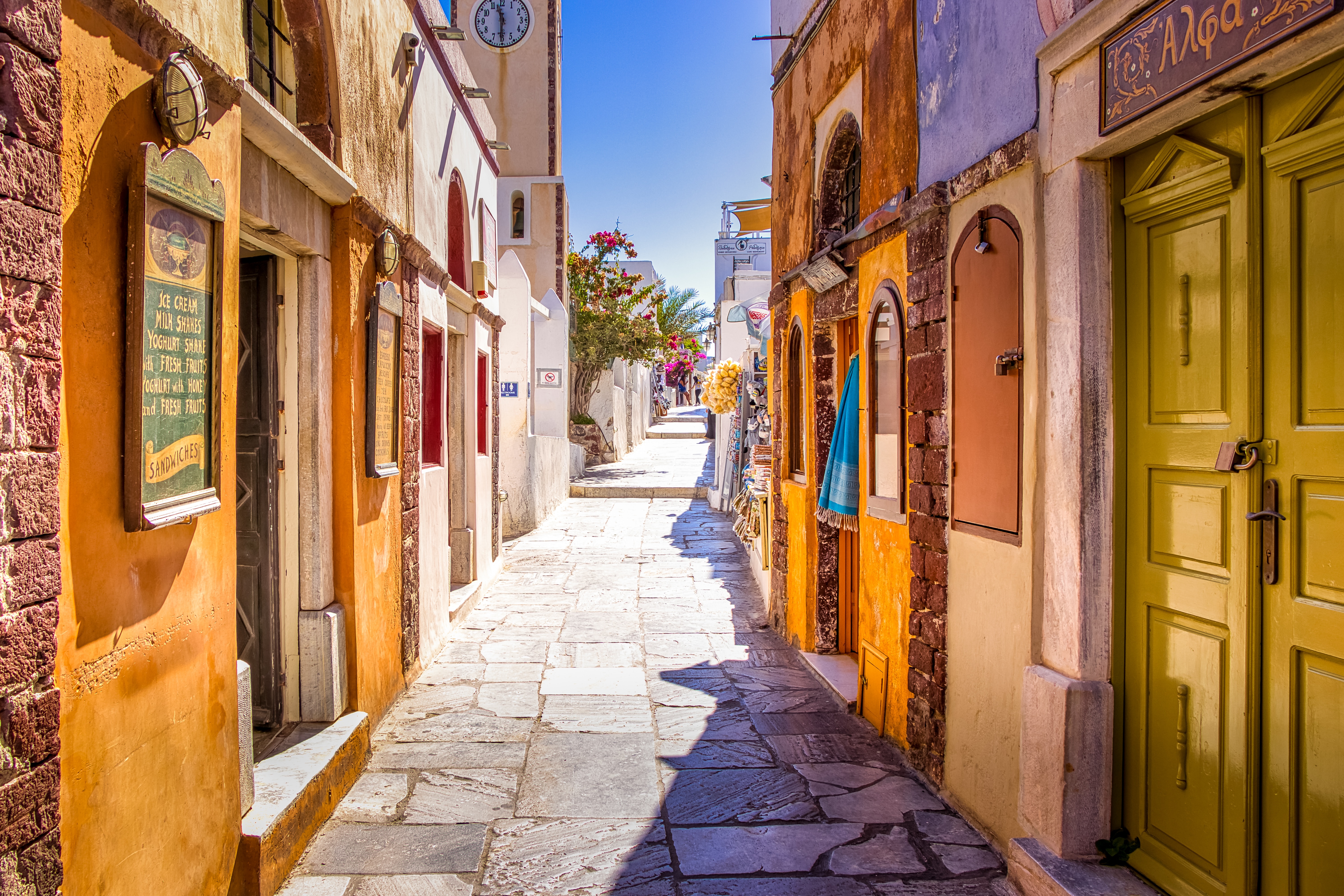
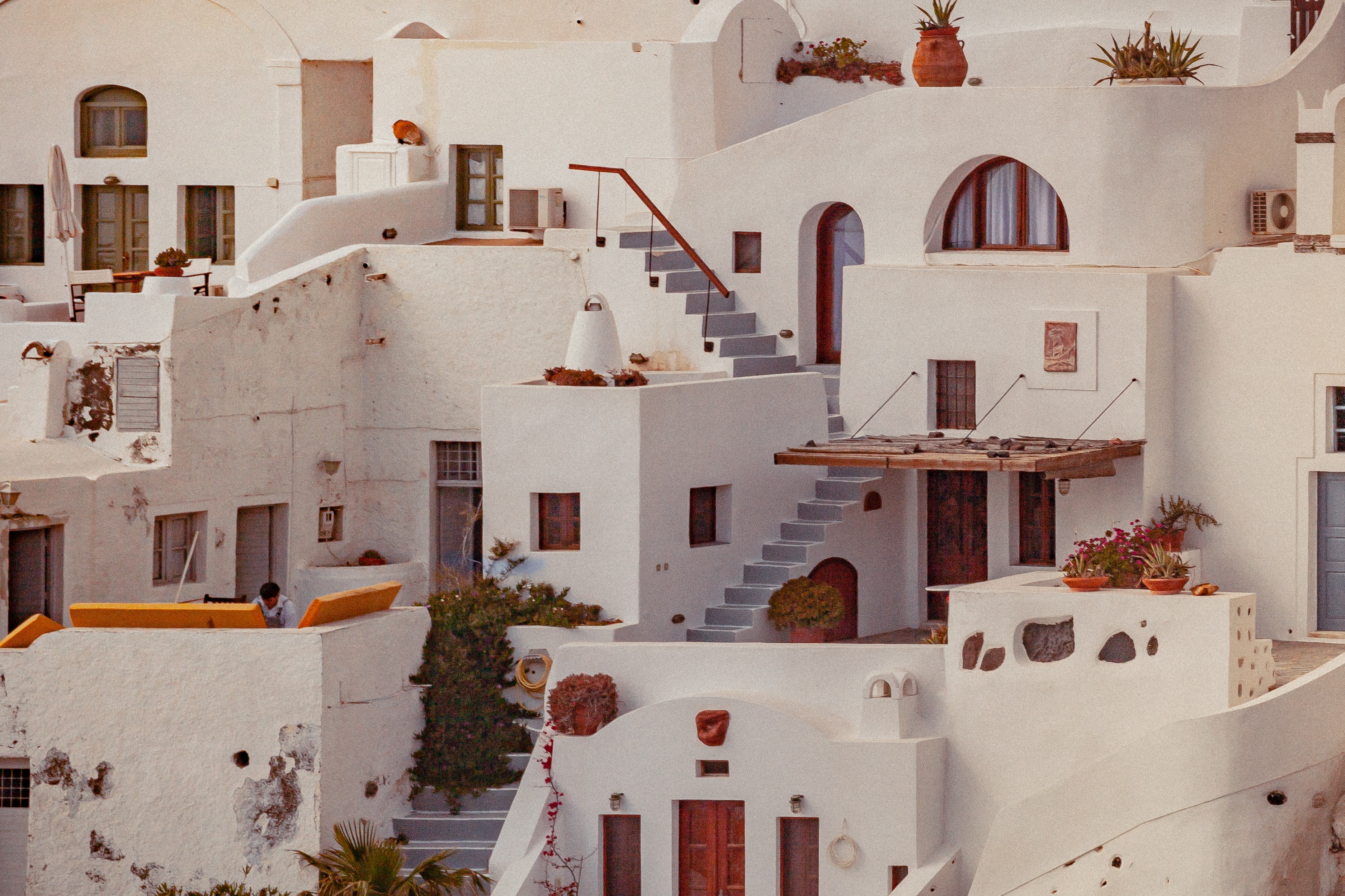
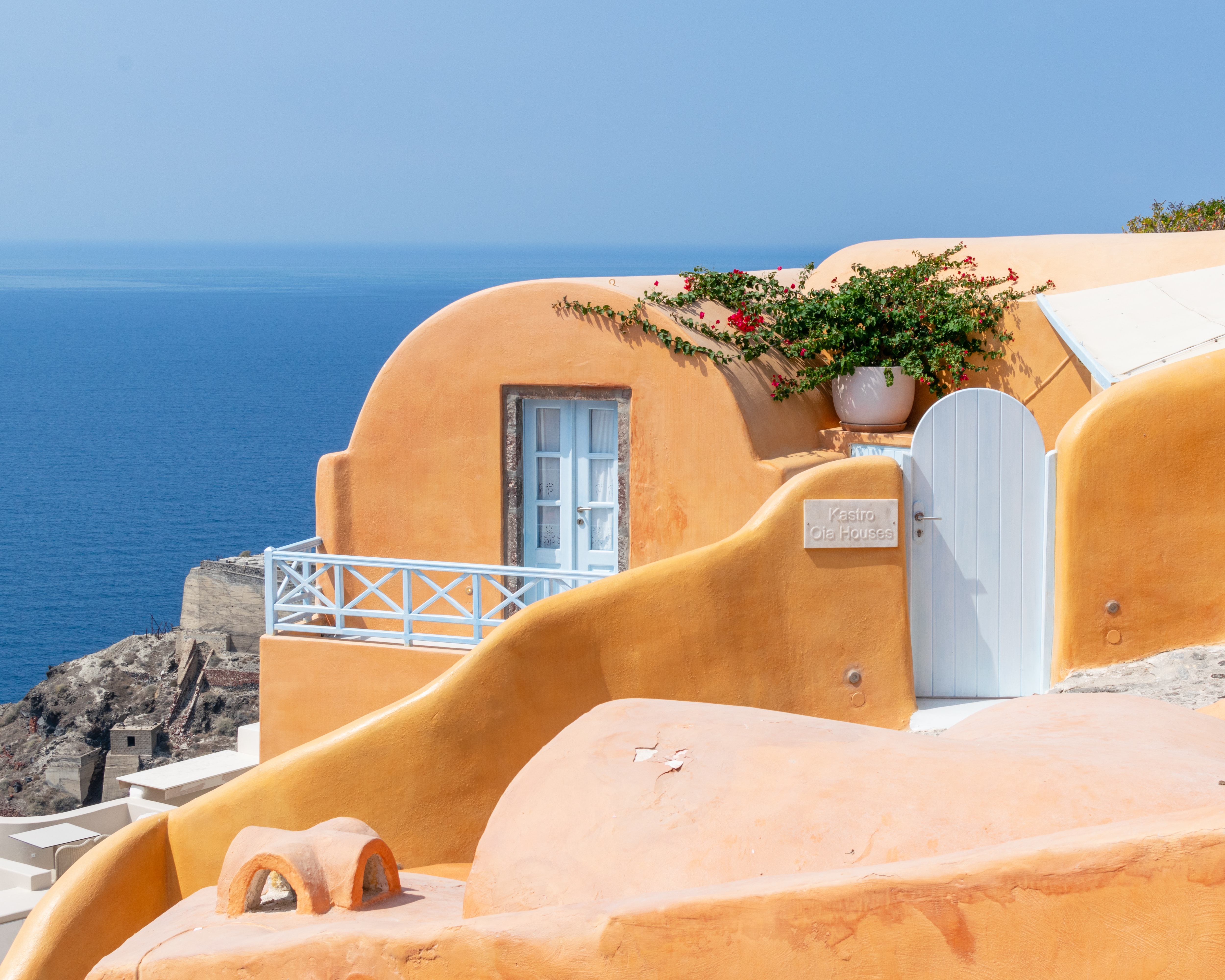
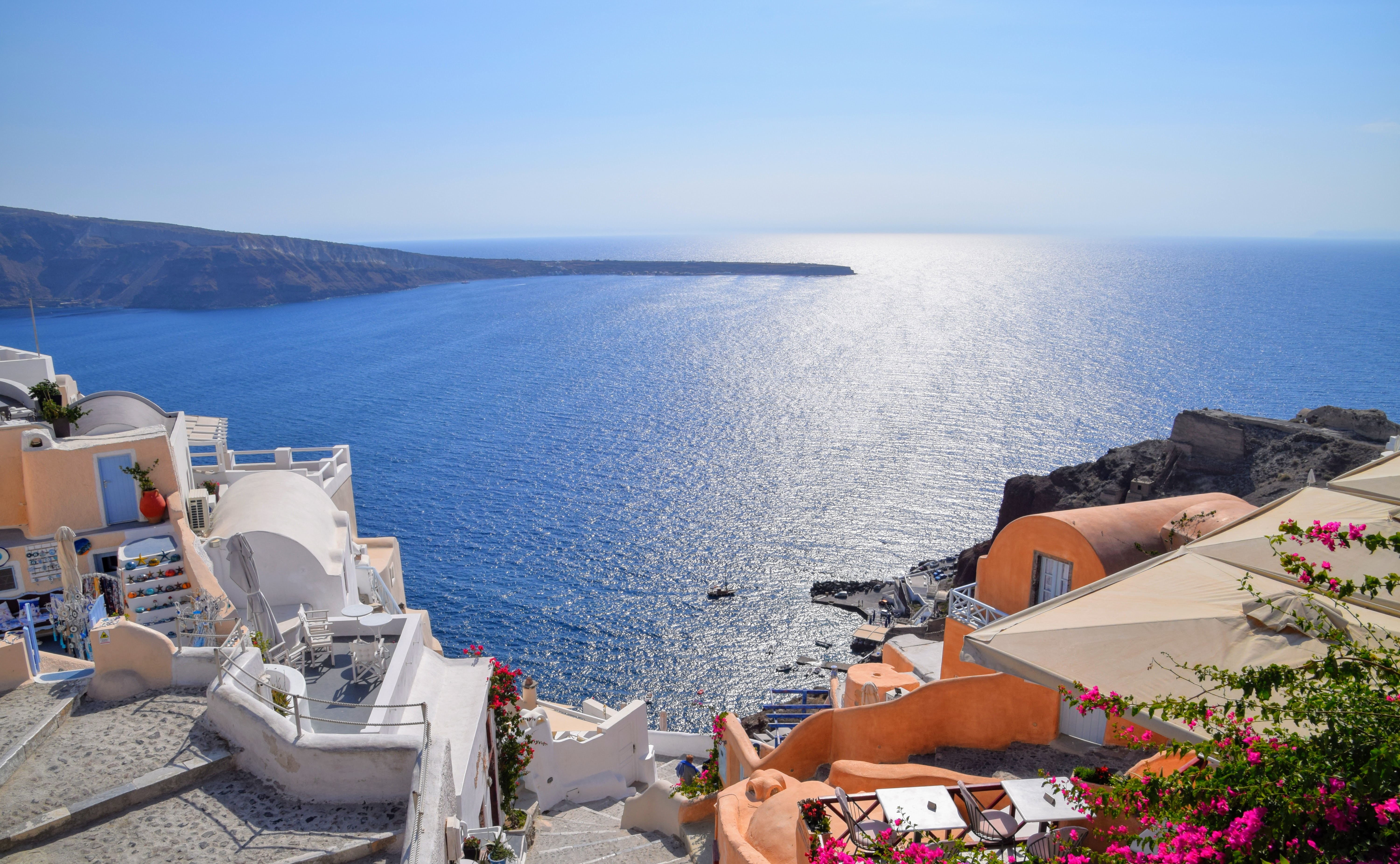
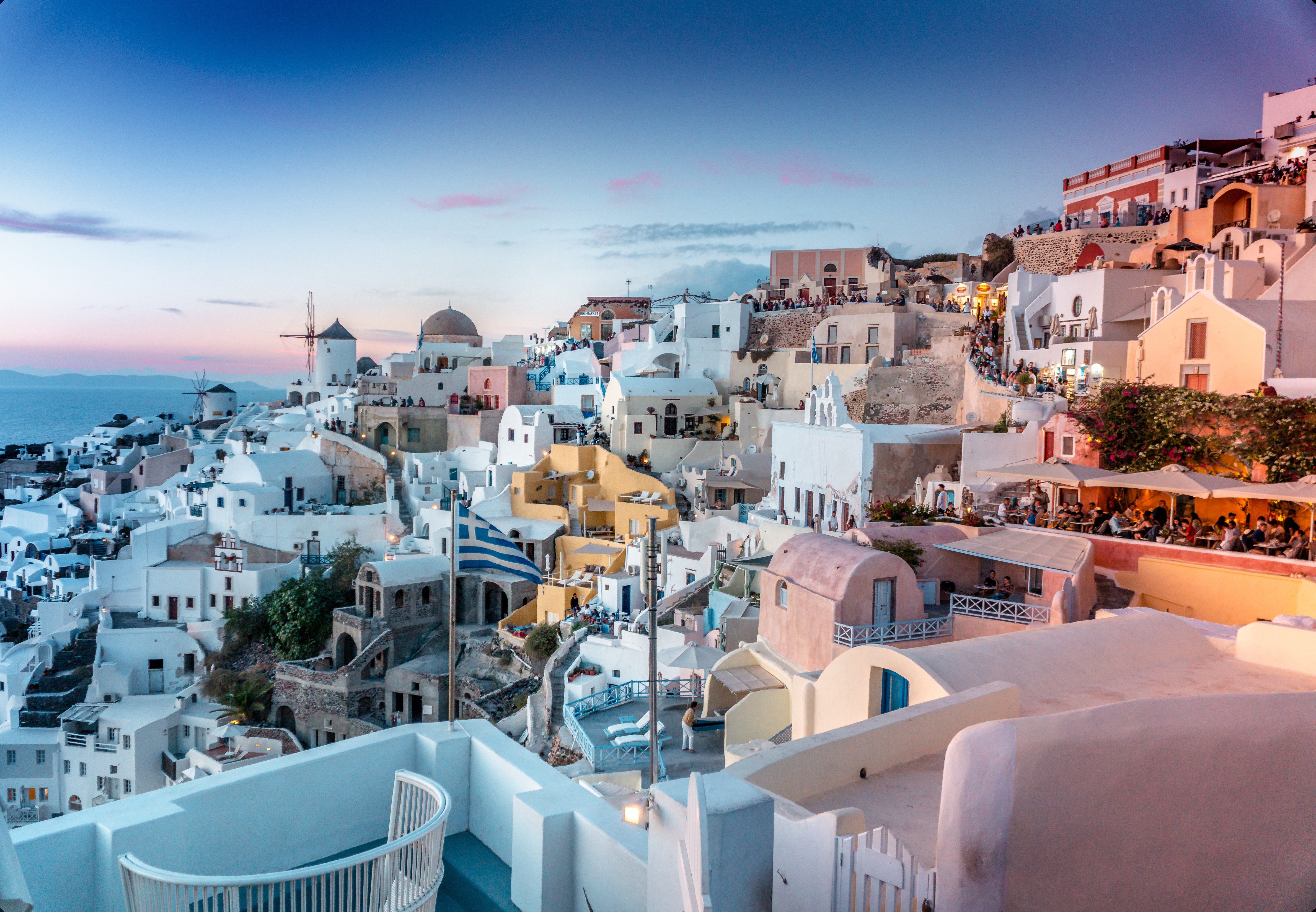
Undoubtedly the most extraordinary island in the Aegean, crescent-shape Santorini remains a mandatory stop on the Cycladic tourist route—even if it's necessary to enjoy the sensational sunsets from Ia, the fascinating excavations, and the dazzling white towns with a million other travelers. Called Kállisti (the "Loveliest") when first settled, the island has now reverted to its subsequent name of Thira, after the 9th-century-BC Dorian colonizer Thiras. The place is better known, however, these days as Santorini, a name derived from its patroness, St. Irene of Thessaloniki, the Byzantine empress who restored icons to Orthodoxy and died in 802. You can fly conveniently to Santorini, but to enjoy a true Santorini rite of passage, opt instead for the boat trip here, which provides a spectacular introduction. After the boat sails between Sikinos and Ios, your deck-side perch approaches two close islands with a passage between them. The bigger one on the left is Santorini, and the smaller on the right is Thirassia. Passing between them, you see the village of Ia adorning Santorini's northernmost cliff like a white geometric beehive. You are in the caldera (volcanic crater), one of the world's truly breathtaking sights: a demilune of cliffs rising 1,100 feet, with the white clusters of the towns of Fira and Ia perched along the top. The bay, once the high center of the island, is 1,300 feet in some places, so deep that when boats dock in Santorini's shabby little port of Athinios, they do not drop anchor. The encircling cliffs are the ancient rim of a still-active volcano, and you are sailing east across its flooded caldera. On your right are the Burnt isles, the White isle, and other volcanic remnants, all lined up as if some outsize display in a geology museum. Hephaestus's subterranean fires smolder still—the volcano erupted in 198 BC, about 735, and there was an earthquake in 1956. Indeed, Santorini and its four neighboring islets are the fragmentary remains of a larger landmass that exploded about 1600 BC: the volcano's core blew sky high, and the sea rushed into the abyss to create the great bay, which measures 10 km by 7 km (6 mi by 4½ mi) and is 1,292 feet deep. The other pieces of the rim, which broke off in later eruptions, are Thirassia, where a few hundred people live, and deserted little Aspronissi ("White isle"). In the center of the bay, black and uninhabited, two cones, the Burnt Isles of Palea Kameni and Nea Kameni, appeared between 1573 and 1925. There has been too much speculation about the identification of Santorini with the mythical Atlantis, mentioned in Egyptian papyri and by Plato (who says it's in the Atlantic), but myths are hard to pin down. This is not true of old arguments about whether tidal waves from Santorini's cataclysmic explosion destroyed Minoan civilization on Crete, 113 km (70 mi) away. The latest carbon-dating evidence, which points to a few years before 1600 BC for the eruption, clearly indicates that the Minoans outlasted the eruption by a couple of hundred years, but most probably in a weakened state. In fact, the island still endures hardships: since antiquity, Santorini has depended on rain collected in cisterns for drinking and irrigating—the well water is often brackish—and the serious shortage is alleviated by the importation of water. However, the volcanic soil also yields riches: small, intense tomatoes with tough skins used for tomato paste (good restaurants here serve them); the famous Santorini fava beans, which have a light, fresh taste; barley; wheat; and white-skin eggplants.
About Monemvasía
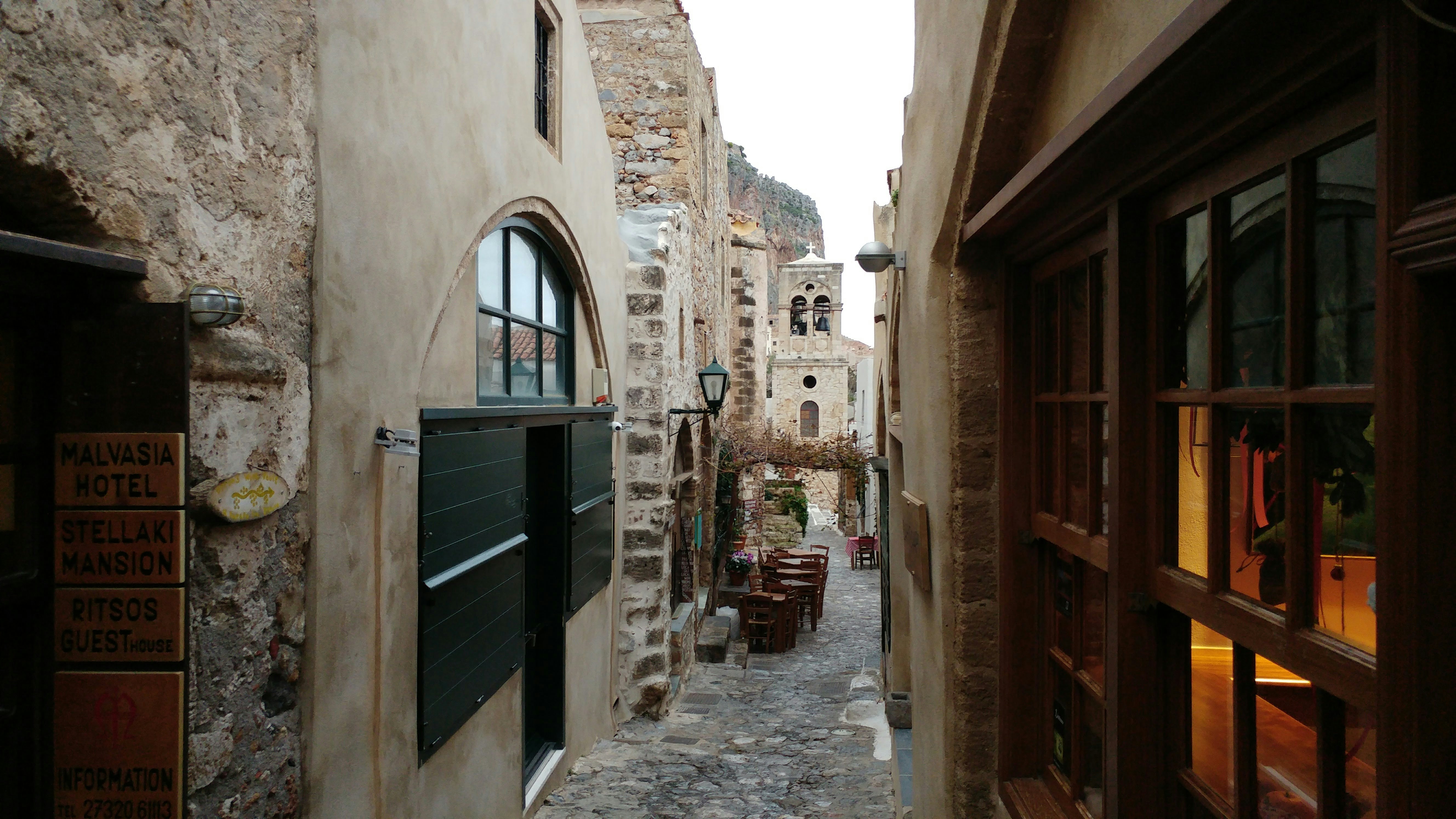
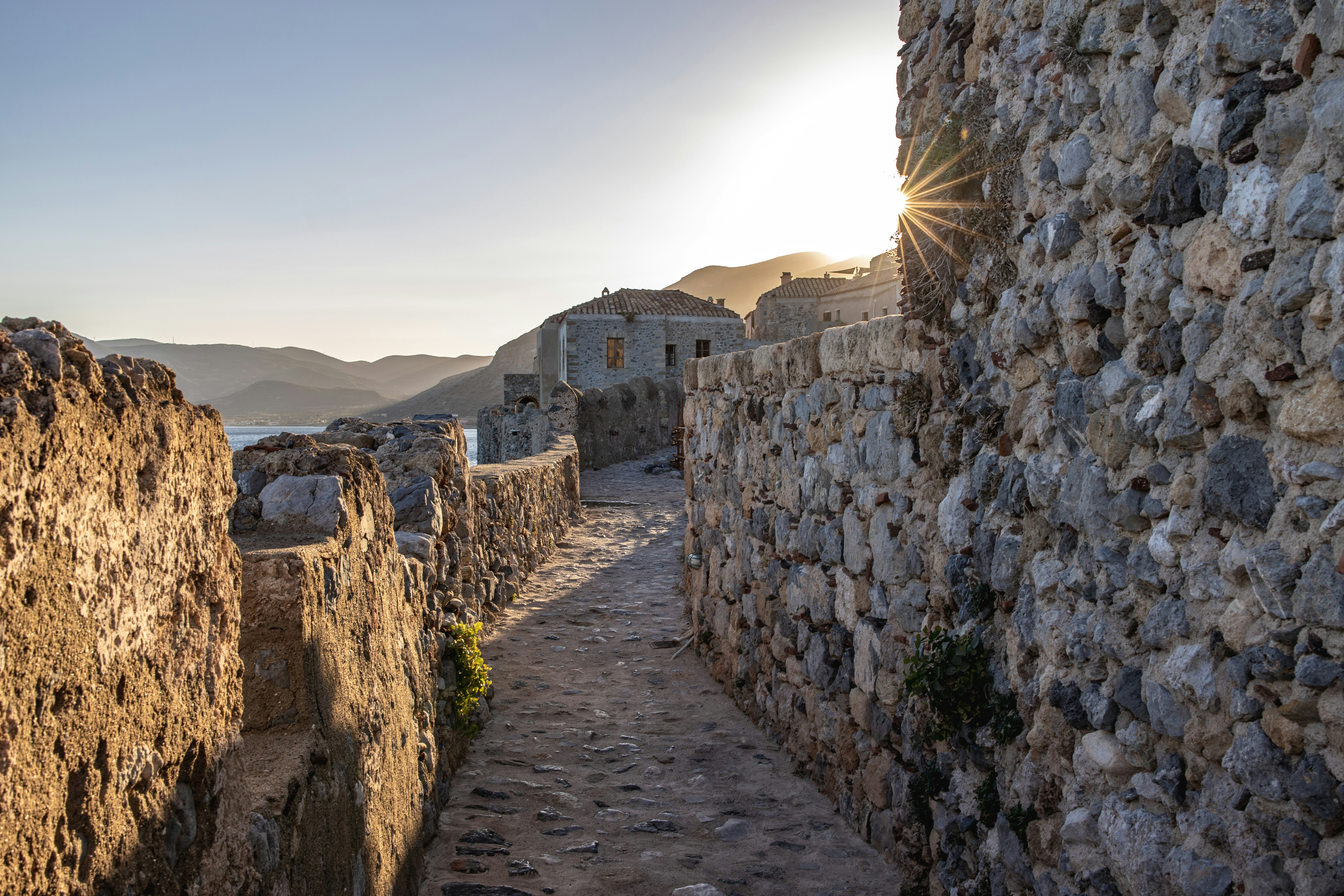
Monemvasia boasts a varied and colorful history that can be traced to the 8th-century when Greeks fleeing the Slav invasion of Lakonia found refuge here. In its heyday it controlled sea travel between the Levant and European shores. The wall-encircled Lower Town extends along the slopes of a 985-foot-high crag that projects into the sea on the east side of the Peloponnese. For centuries an impressive stronghold, population dwindled as the inhabitants moved to the mainland. But with the beginning of a restoration program aimed to preserve Monemvasia's heritage, the Lower Town experienced a new lease on life, and people have begun to return. The Upper Town is situated on top of the Rock of Monemvasia. It is reached via a zigzagging, paved lane. An almost impregnable bastion in earlier days, it has been uninhabited for centuries, but still manages to preserve its magnificent appearance. Visitors today can explore the remains of the ancient citadel-castle and visit the church of Hagia Sofia. From the summit there is also a fantastic view of the surrounding area.
About Náfplion
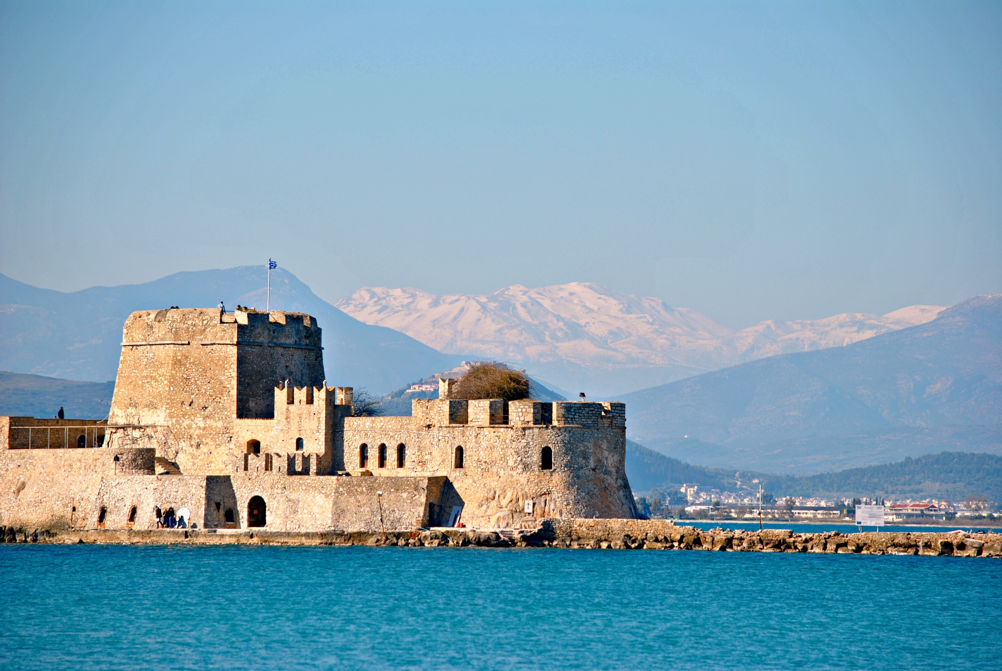
Oraia (beautiful) is the word Greeks use to describe Nafplion. The town's old section, on a peninsula jutting into the gulf of Argos, mixes Greek, Venetian, and Turkish architecture; narrow streets, often just broad flights of stone stairs, climb the slopes beneath the walls of Acronafplia. Tree-shaded plazas surround neoclassic buildings. The Palamidi fortress—an elegant display of Venetian might from the early 1700s—guards the town. Nafplion deserves at least a leisurely day of your undivided attention, and you may want to spend several days or a week here and use the city as the base from which to explore the many surrounding ancient sights.

About Athens


With an expansive 220 square feet, the Owner’s Suite gives you everything offered in a stateroom, plus lots more, including a beautiful sitting area and separate in-room dining space.
Amenities
- Queen Size Bed with Luxurious Linens
- Fully-Stocked Mini-Bar/Refrigerator
- Fully Upgraded Bath Amenity Line Including Pure Pampering L'Occitane
- Fruit Basket with Berries
- Hair Dryers and 110/220 Outlets
- Upgraded High End Quality Bath Robes
- Safe
- Fresh Flowers
- Granite Vanity with Magnifying Mirror
- Bathroom with Granite Countertop and Shower
- Free Internet Service (1 Voucher per Suite)
- Preferred On Board Check In
- Invitation to Captain or Senior Officer Table
- Personalized Wake-Up Call Service with Preferred Beverage Coffee/Tea/Juice
- Preferred Specialty Restaurant Dining
- Preferred Canapes Service
- Maschio Prosecco
- Illy Espresso Machine
- Binoculars
- Interactive TV

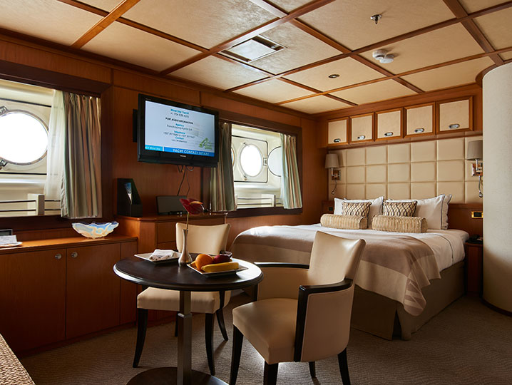
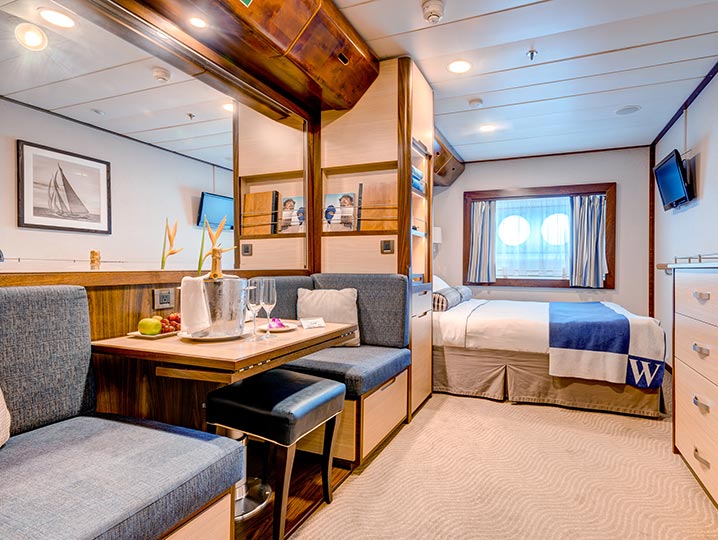
Every inch of your stateroom is designed for comfort. Luxurious Egyptian cotton linens wrap you in pleasant sleepiness as you stretch out in your queen bed (can be separated into twins if you prefer). Your spacious bath features granite counter tops, ample storage, and a roomy shower with massage shower head. L’Occitane® bath products invite you to indulge, while comfy waffle-weave robe and slippers entice you to relax. You’ll find fresh fruit and flowers always waiting for you after a day of sun or sightseeing. And, of course, everything else you need and expect — flat-screen television and DVD, private safe. And always at your fingertips, anything you wish from room service.
Amenities
- Queen Size Bed with Luxurious Linens
- Fully-Stocked Mini Bar/Refrigerator
- L'Occitane Bath Amenities
- Fresh Fruit
- Hair Dryers and 110/220 Outlets
- Waffle Weave Robe and Slippers
- Safe
- Granite Vanity with Magnifying Mirror
- Bathroom with Granite Countertop and Shower
- Wi-Fi Internet Access (various plans available for purchase)
- Interactive TV
Wind Star
The Essence of Small Ship Sailing
Wind Star is a sleek, 4-masted sailing yacht accommodating 148 guests. With four decks and a gross tonnage of 5,703, Wind Star feels like your own private yacht.
Wind Star features wide open, teak decks—quite unusual for small ships. Guests will find hidden nooks for private moments giving them a feeling of being on their own private veranda.
All staterooms have ocean views, queen beds, flat-screen TV, and the Owner’s Suite includes a sitting area.
Wind Star offers two primary dining venues. Amphora restaurant offers gourmet, course-by-course cuisine in the evenings and Veranda restaurant offers casual buffet and full-service dining for breakfast and lunch. All dining is open seating. And, for dining under the stars, make a reservation for Candles which features steaks and skewers.
Wind Star amenities include: World Spa by Windstar, Watersports Platform, Lounge, Pool, and Hot Tub.
Windstar has always been known for our iconic sailing ships, and now Wind Star has under her Setting Sails: A Wind Class Refresh. The initiative brings the tight-knit connection of the Windstar community to the forefront through the redesign of public spaces and staterooms. From a revamped lobby to a new pool and larger pool bar, new World Spa by Windstar to a redesigned lounge, this initiative also includes intricate details like new teak decks and décor for a timeless and welcoming experience.

Ship Facts
| Launch Year | 1986 | ||||||||
| Refit Year | 2018 | ||||||||
| Language | en | ||||||||
| Gross Tonnage | 5307 | ||||||||
| Length | 110 | ||||||||
| Width | 15 | ||||||||
| Currency | USD | ||||||||
| Speed | 10 | ||||||||
| Capacity | 148 | ||||||||
| Crew Count | 101 | ||||||||
| Deck Count | 4 | ||||||||
| Cabin Count | 74 | ||||||||
| Large Cabin Count | 15 | ||||||||
| Wheelchair Cabin Count | 0 | ||||||||
| Electrical Plugs |
|
Flying Bridge
- Bridge
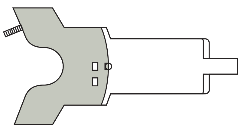
Deck Four
- Bridge
- Veranda/Candles
- Pool / Pool Bar / Whirlpool

Deck Three
- Amphora Restaurant
- Star Boutique
- Reception
- Library
- WindSpa
- Lounge
- Yacht Club Café

Deck Two
- Medical Center
- Fitness Centre
- Category A Cabins
- Category AX Deluxe Cabins

Deck One
- Watersports Platform
- Owner's Suite
- Category B Cabins
- Category BX Deluxe Cabins

World Class Dining Experience
We've upped the onboard dining game with our culinary program, featuring an array of fresh, seasonal ingredients sourced from each port along the journey. Each nightly menu is crafted to highlight the spectacular flavors of the regional cuisine.
Amphora Restaurant
Here, the dining room manager seats you, but where is your decision. There are no pre-assigned tables or first or second seatings. When you dine and with whom are entirely up to you. Seating usually begins at 6:30 p.m. and will be printed in the ship's daily program. Each delightful dish is prepared exactly to your liking – an exquisite dinner served course-by-course with a fine selection of vintage wines.
Candles Restaurant
Here’s the perfect place for a romantic tête-a-tête under the stars in Candles, Windstar’s signature outdoor restaurant transformed by night into a dreamlike paradise. Delectable cuisine, memorable surroundings, inspired wine pairings.
Veranda Restaurant
It's breakfast alfresco, full service or buffet-style, anytime till 9:30 a.m. No need to hurry. Again, the choices are many in Veranda. Choose the sumptuous, seemingly endless buffet. Or, order from the lunch menu between noon and 2:30 p.m.
A day on board your Windstar ship is a day of choices, all of them good. Perhaps you’ll begin with a relaxing massage in World Spa by Windstar. Or maybe an invigorating workout in the Fitness Center. Even better, why not both? After a sumptuous lunch in Veranda, make a splash from the Watersports Platform off the ship’s stern. Everything you can think of for fun in the water is there — swimming, kayaking, sail-boarding, even water skiing. And it’s all complimentary, of course. Sun yourself on deck, take a dip in the whirlpool, then catch up on email ororder a cheese plate for your stateroom or suite. After dinner, dance to live music in the Lounge. This is your yacht, so of course you’re welcome on the Bridge, where the Captain and officers are delighted to share charts, routes, and vistas with you.
As you prepare for another amazing Windstar day, enjoy a nightcap anywhere you like — on deck, in the Lounge, or why not let us bring it to your suite or stateroom? Your day ends just as it began, blissfully.
Entertainment Facilities
Onboard entertainment facilities include: library, casino, The Lounge, and Signature Shop.
Sun Deck
Sun Loungers can be found on Deck Four.
Pool
The Pool can be found on Deck Four.
Pool Bar
The Pool Bar can be found on Deck Four.
Reception
The Reception can be found on the Deck Four.
Star Boutique
Visit our newly transformed specialty shopping boutique, Star Boutique, rolling out fleet-wide through early 2022. The new shop features quality brand-name and exclusive Star Collection merchandise, from clothing and fragrances to jewelry and accessories, all at duty free or special pricing.
Library
The Library can be found on Deck Three.