Monteverde Cloud Forest & Arenal Volcano Cruise Tour
Monteverde Cloud Forest & Arenal Volcano Cruise Tour
Cruise overview
WHY BOOK WITH US?
- ✔ The Deluxe Cruises’ team has extensive experience in ultra-luxury cruising.
- ✔ Call now to speak to our helpful and experienced Cruise Concierge team.
- ✔ Enjoy our Unique Deluxe Cruises Bonus for substantial savings.
- ✔ Our team will tailor your holiday to your exacting requirements.
- ✔ As agents, we work under the protection of each cruise lines ABTA / ATOL licences
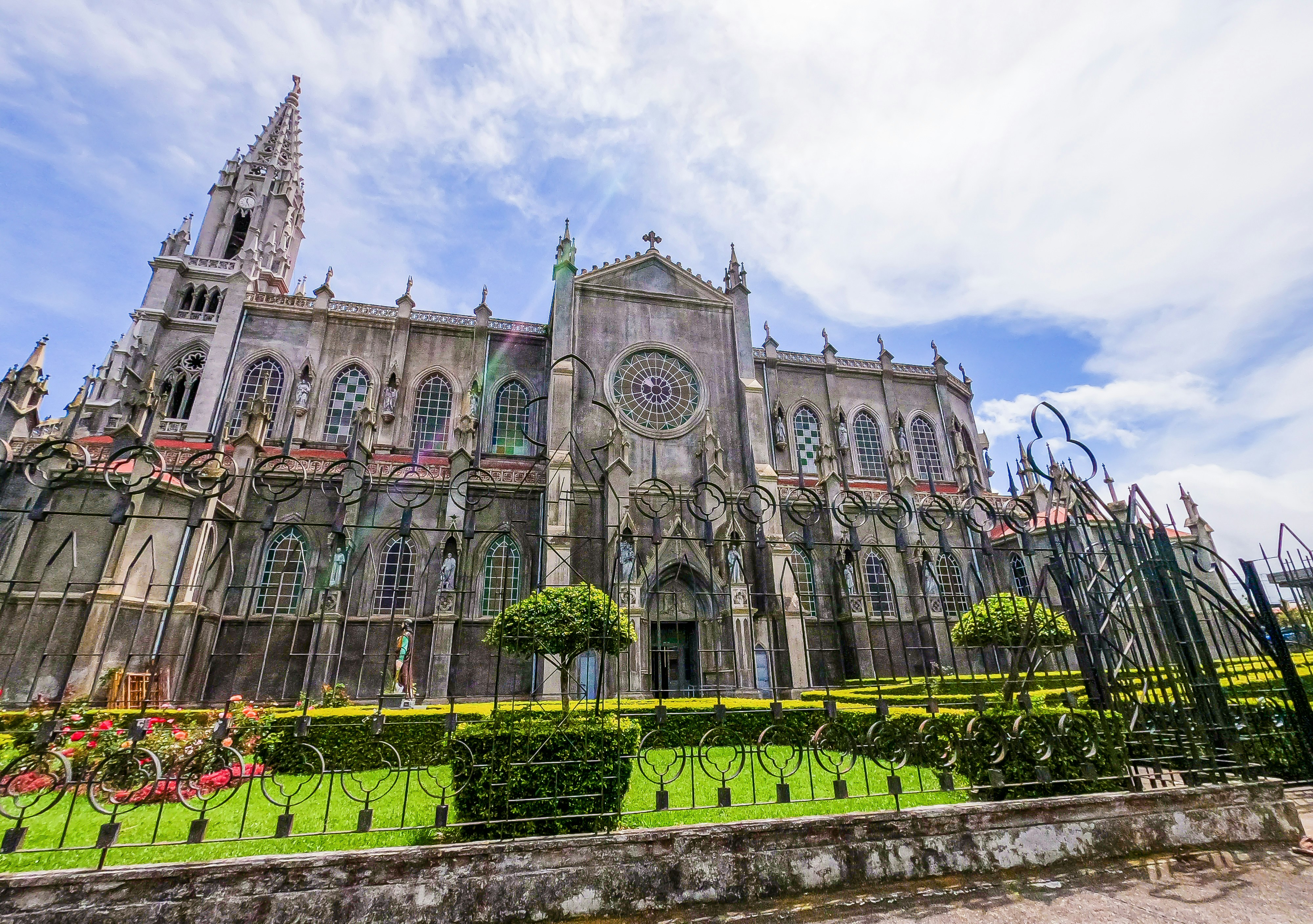
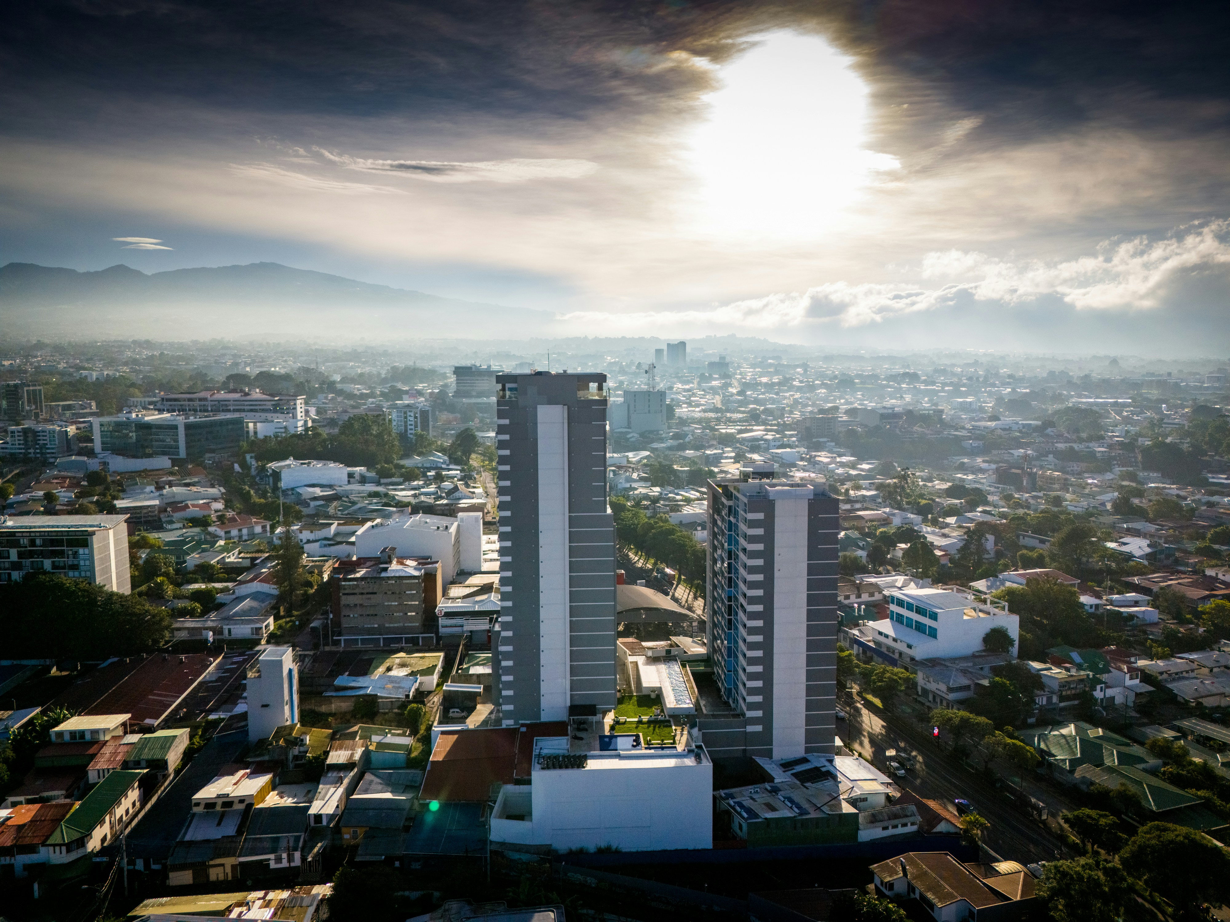
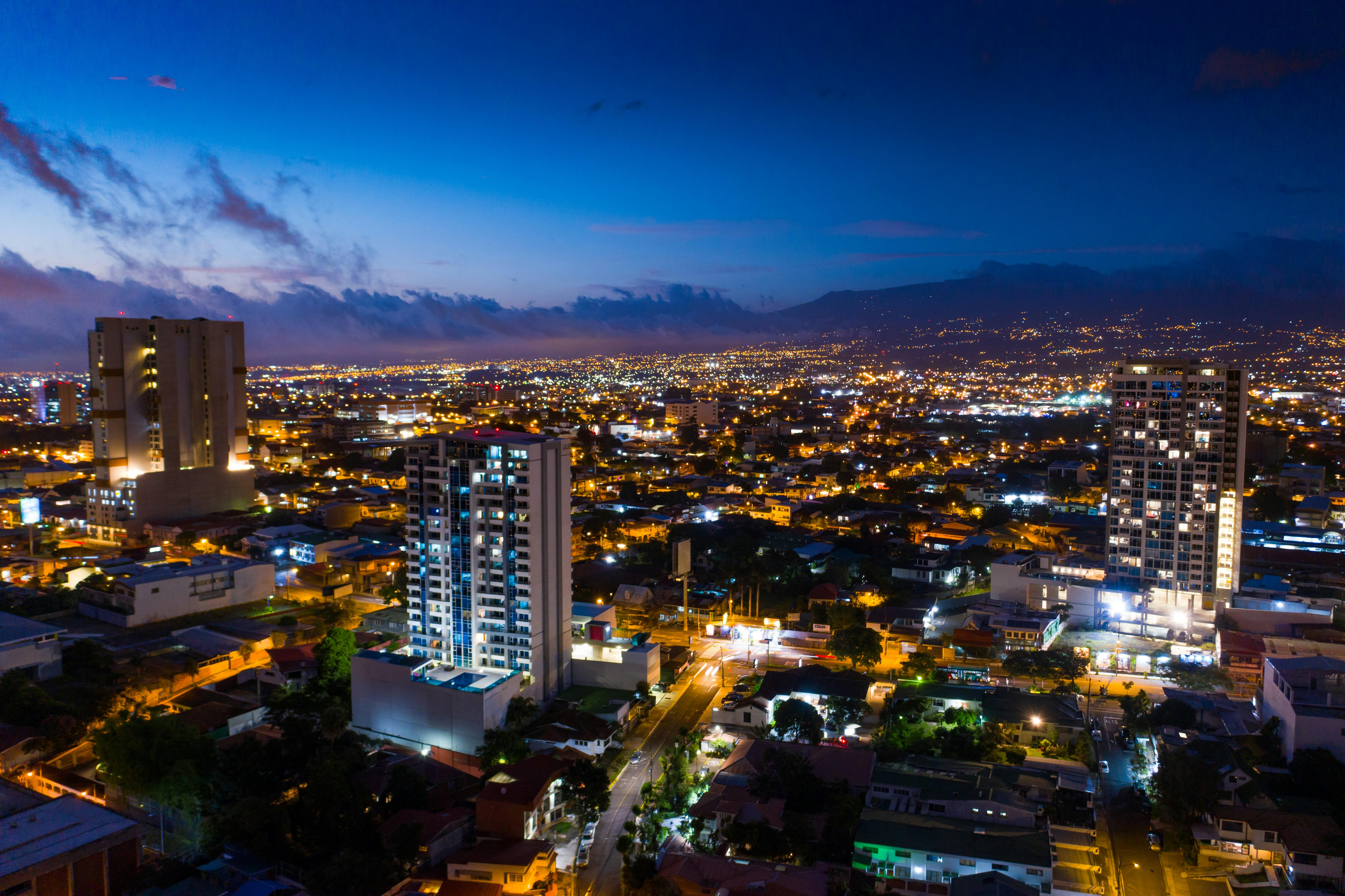
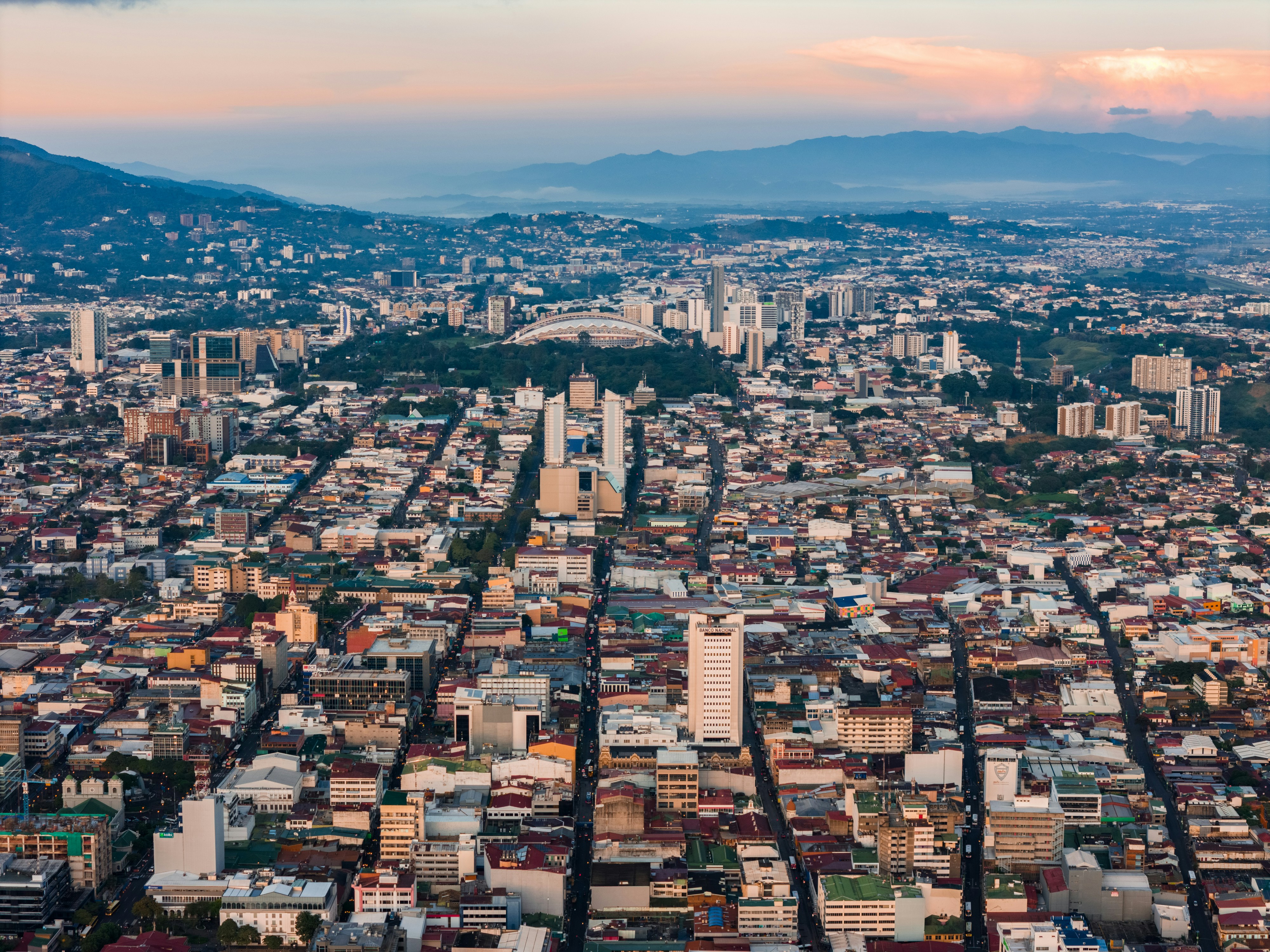
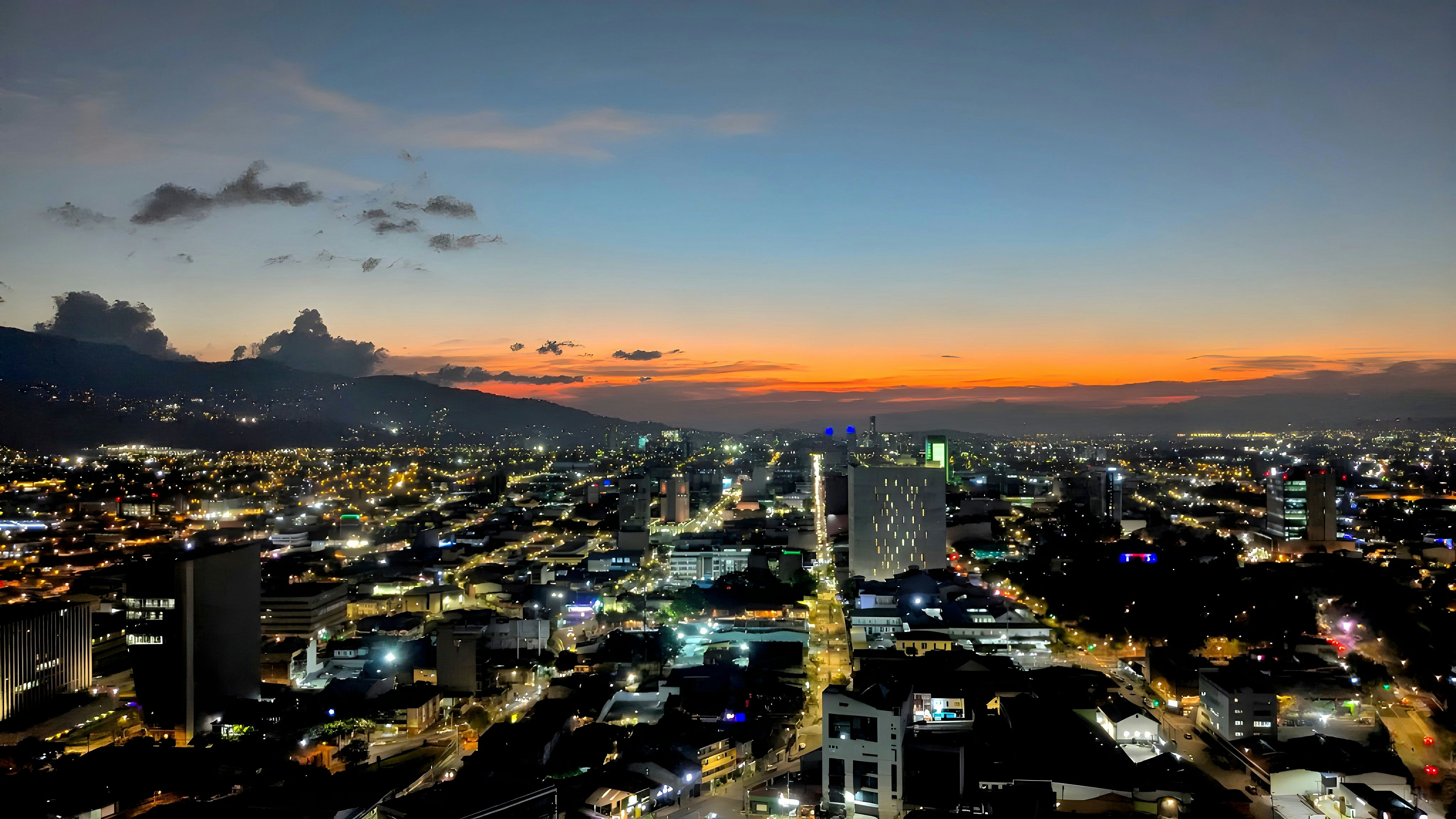
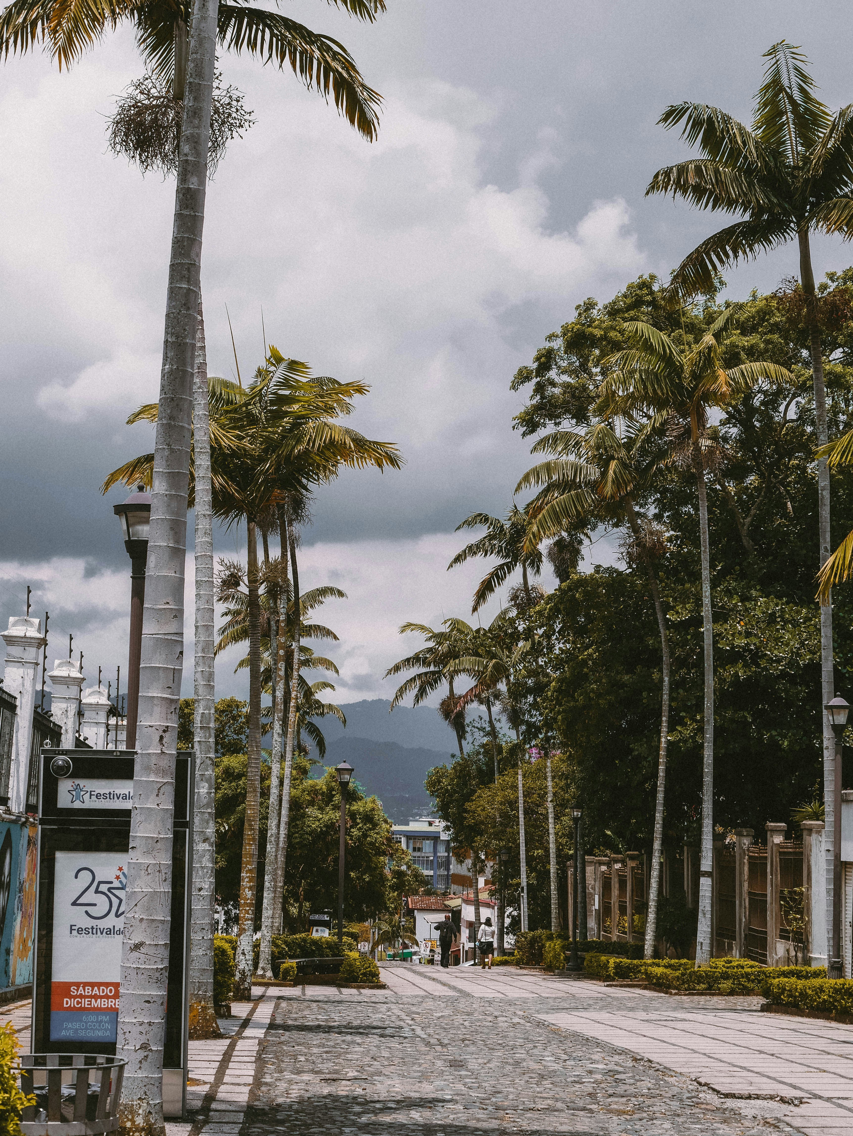
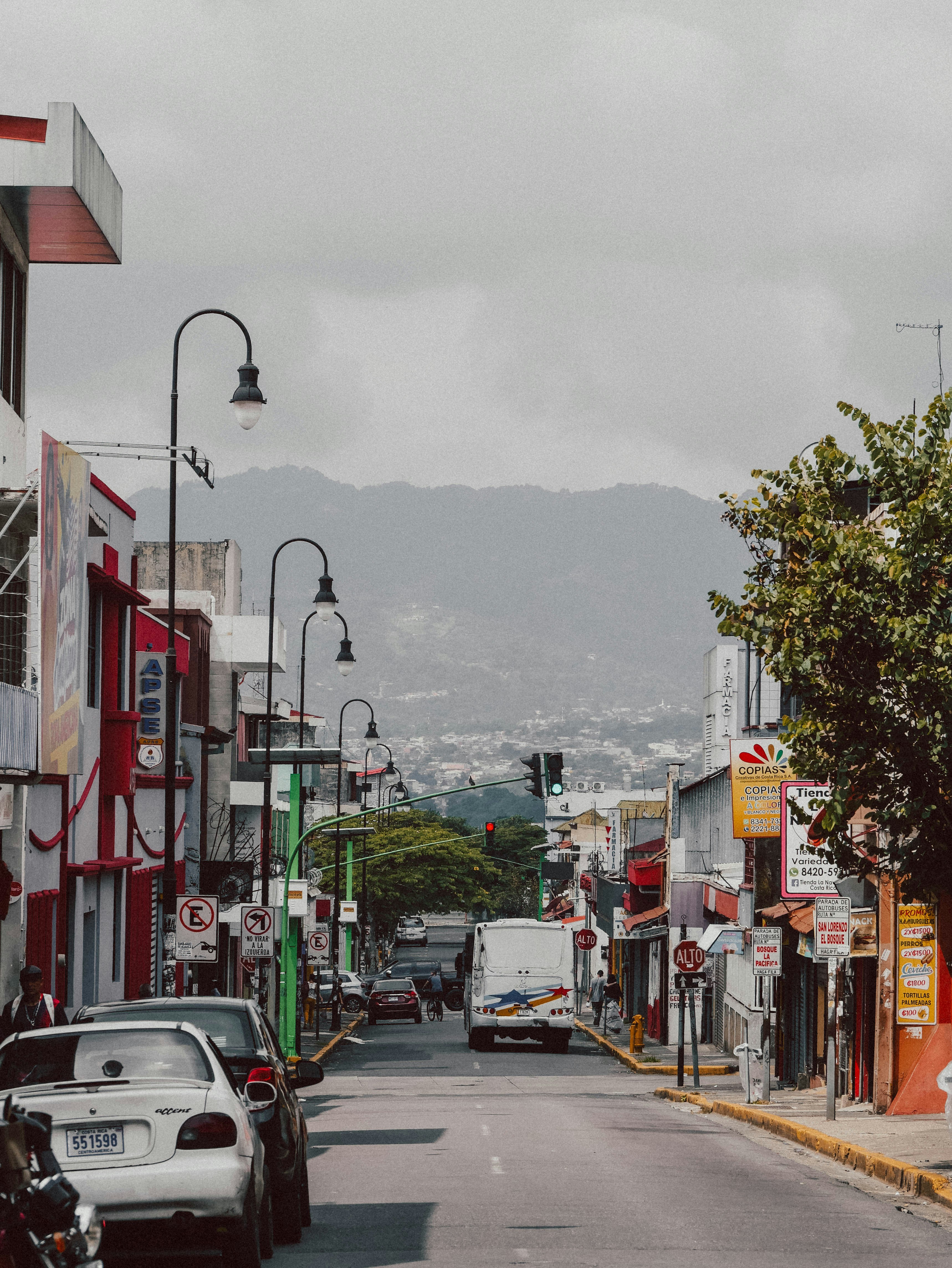
About San José


About La Fortuna
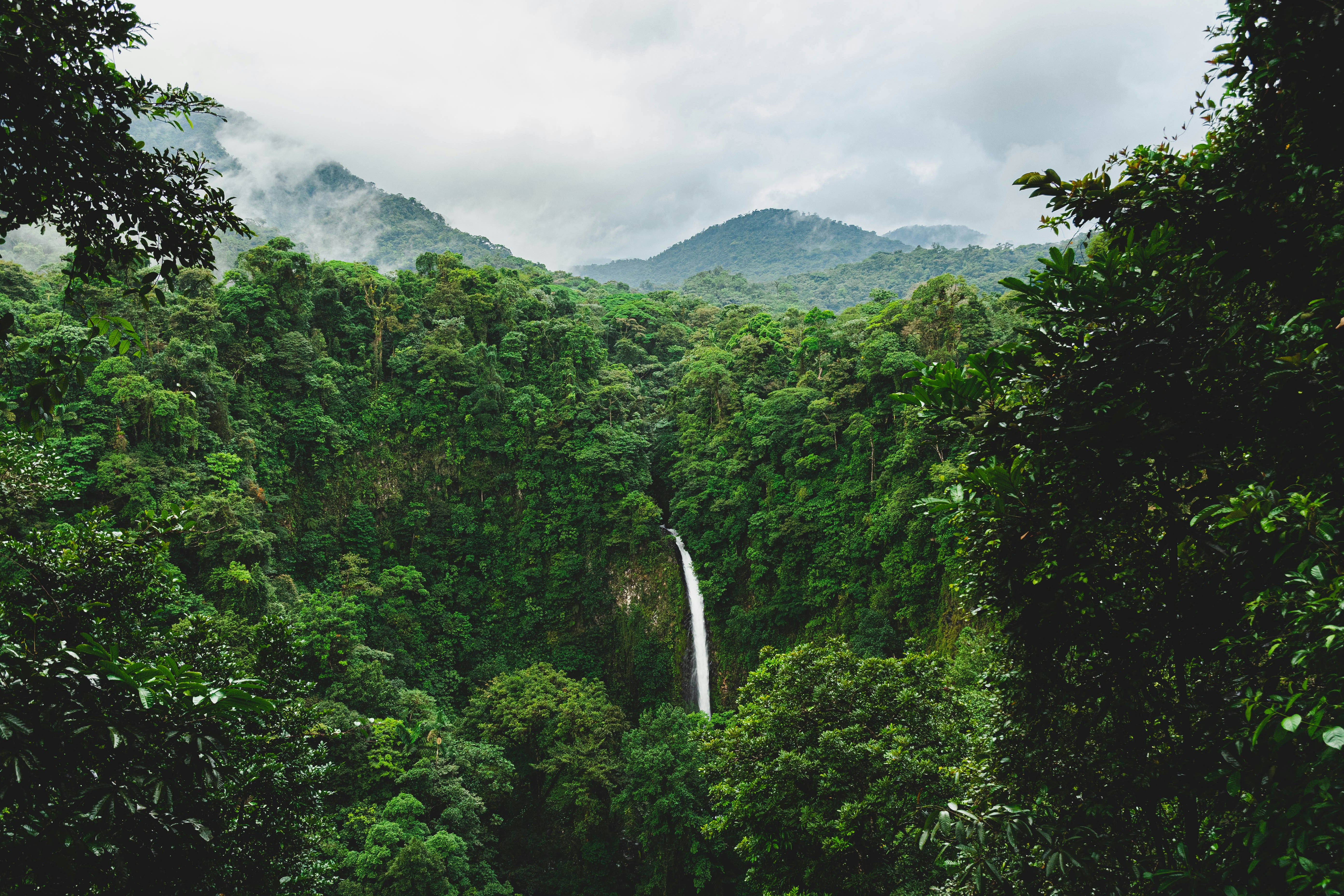

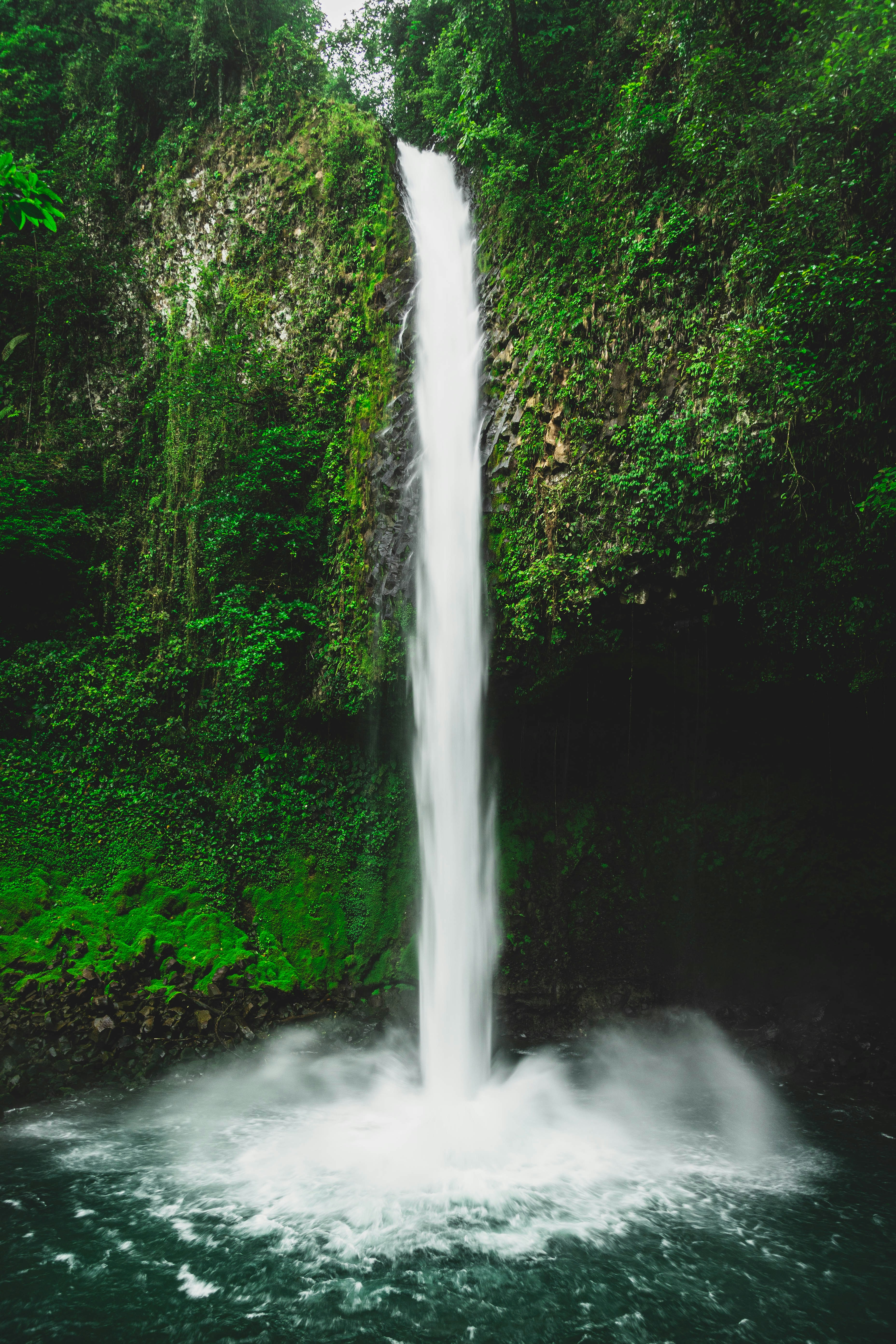


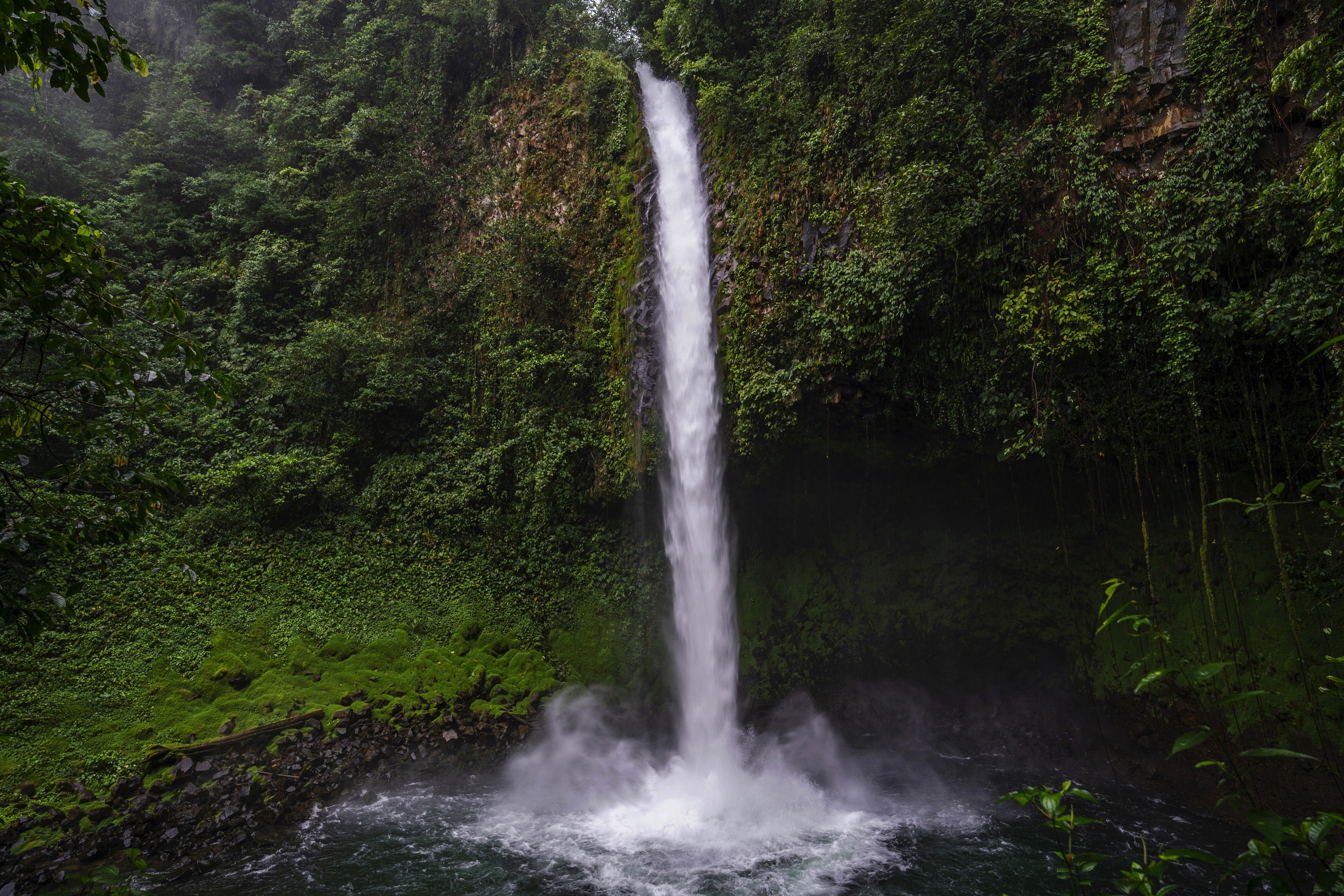
About La Fortuna
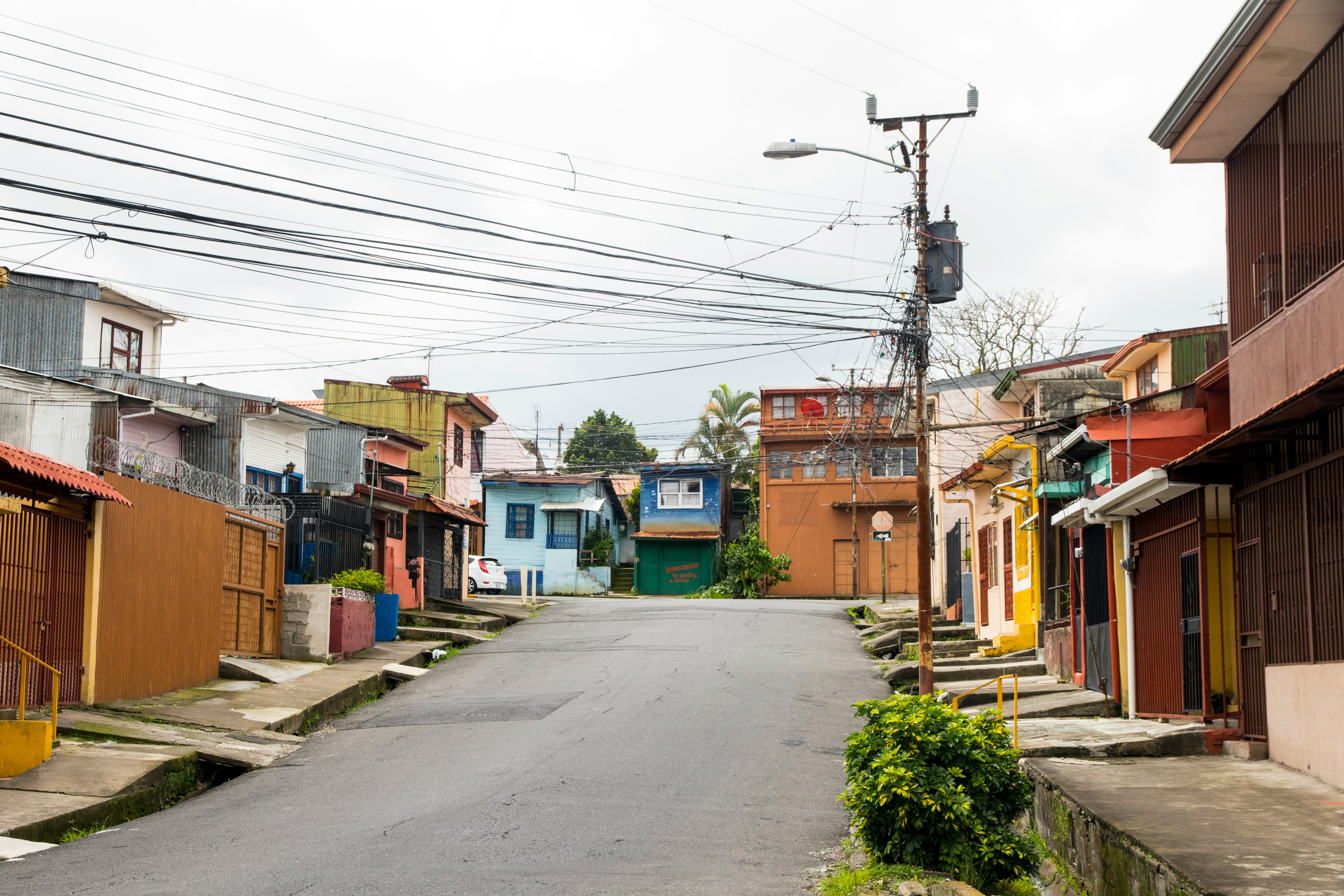
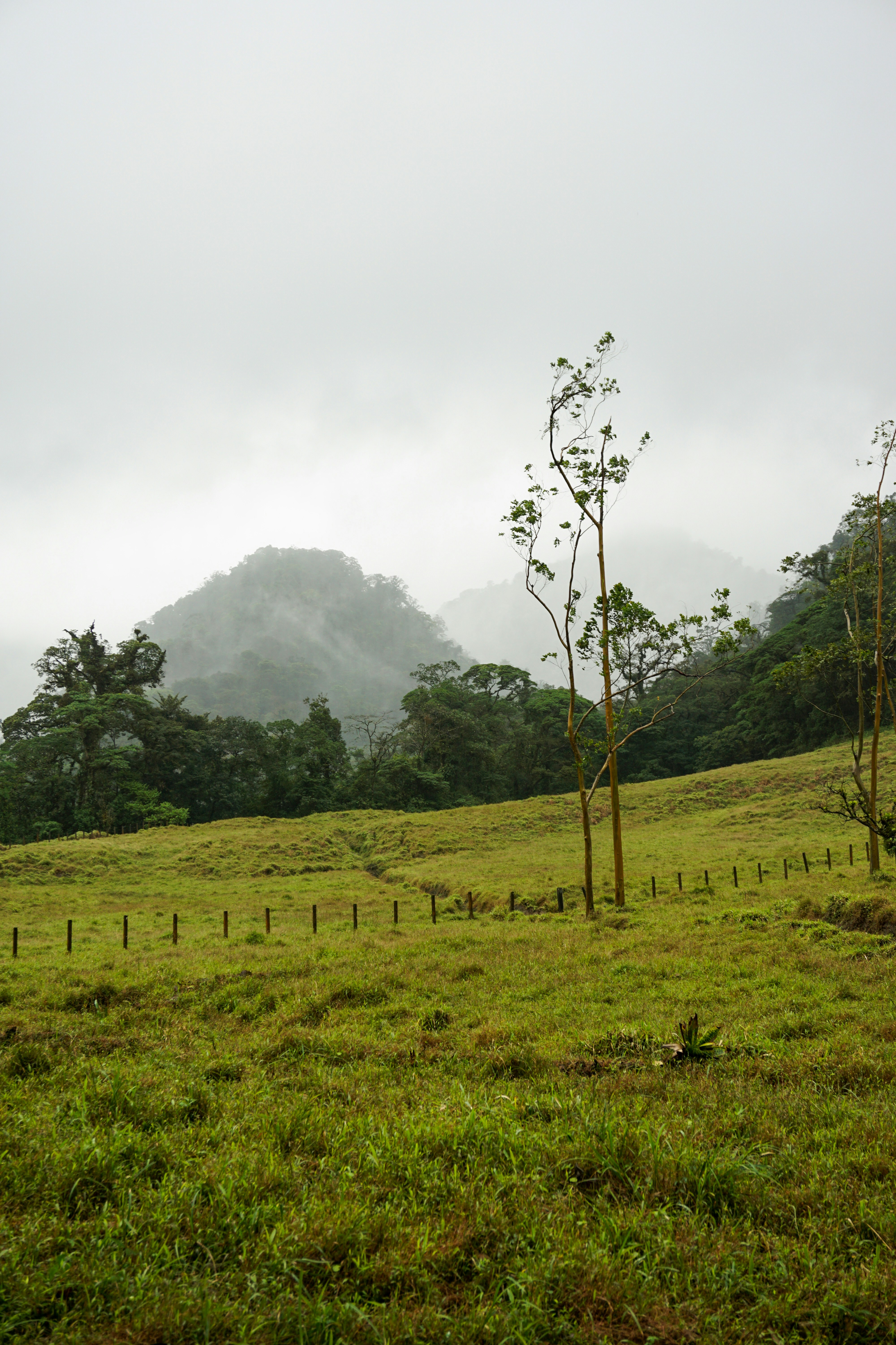
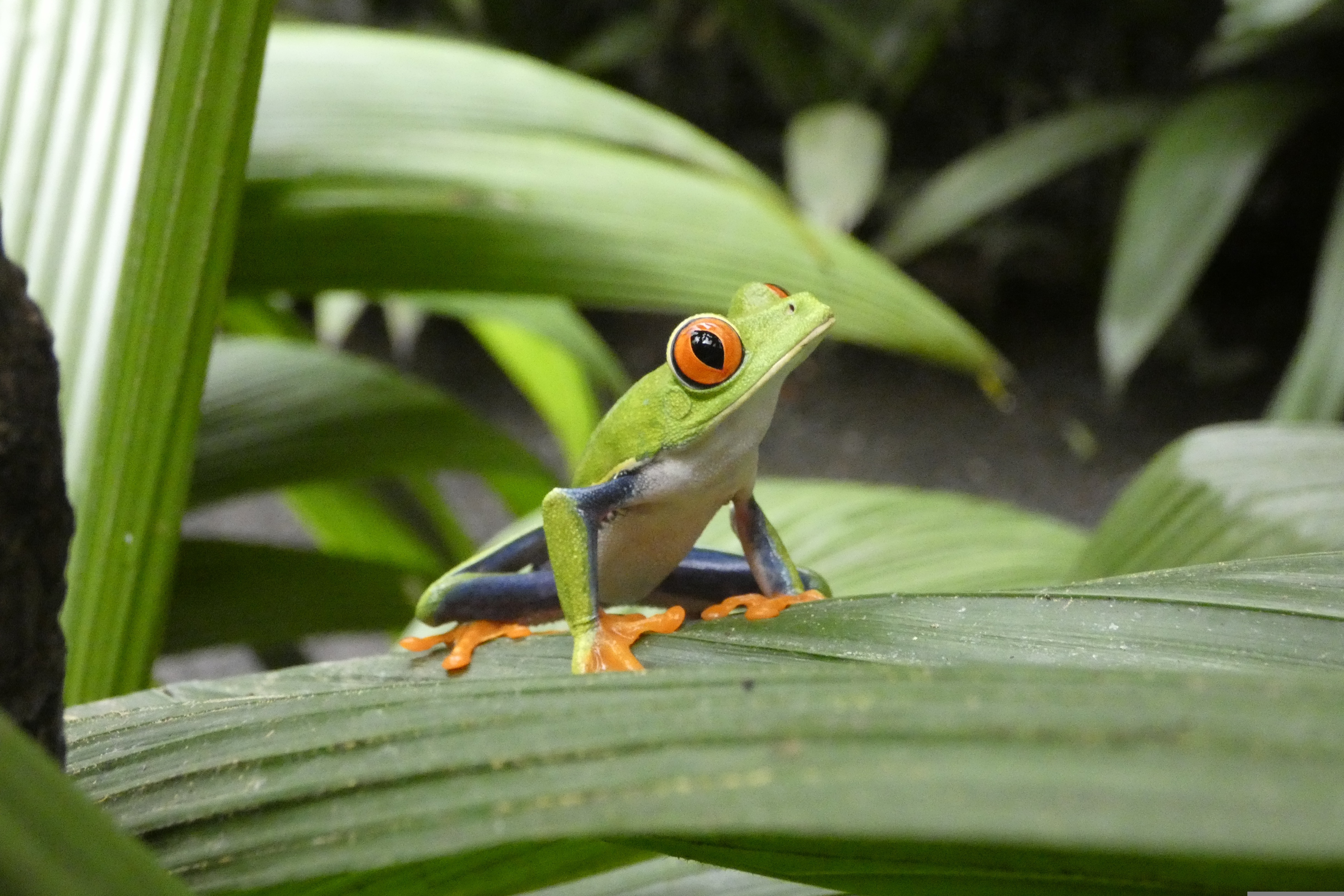
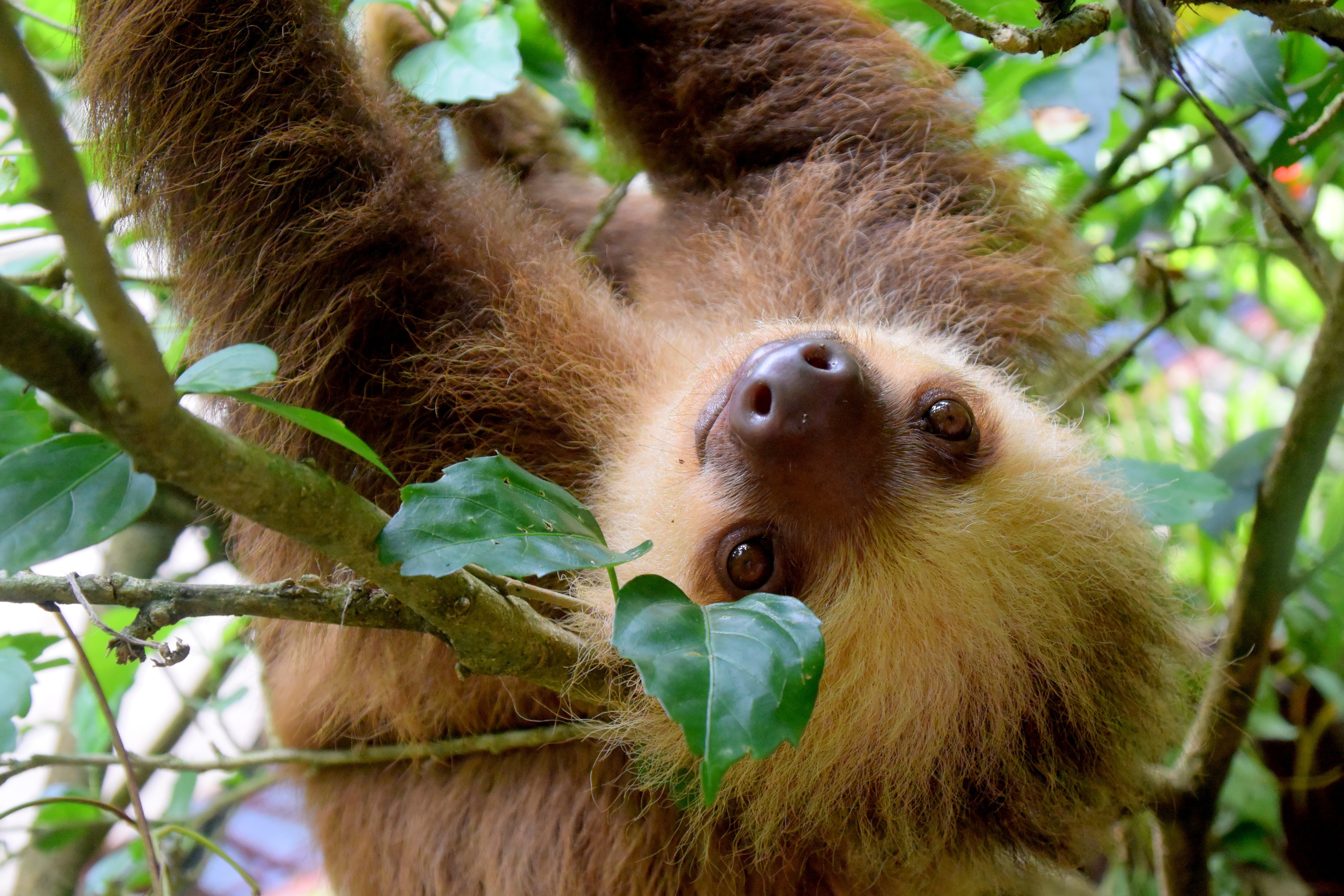
About Santa Elena
About Puerto Caldera
About Puerto Caldera
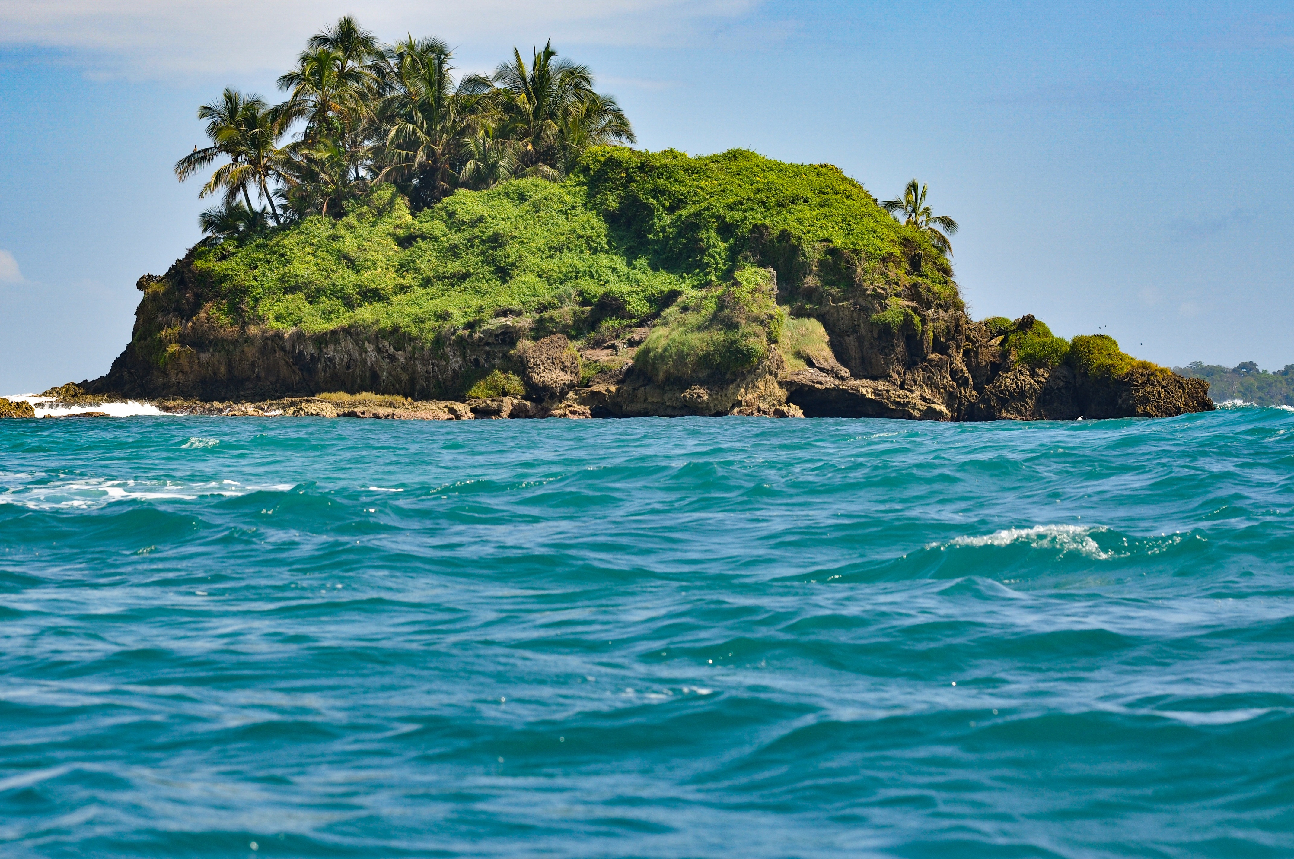
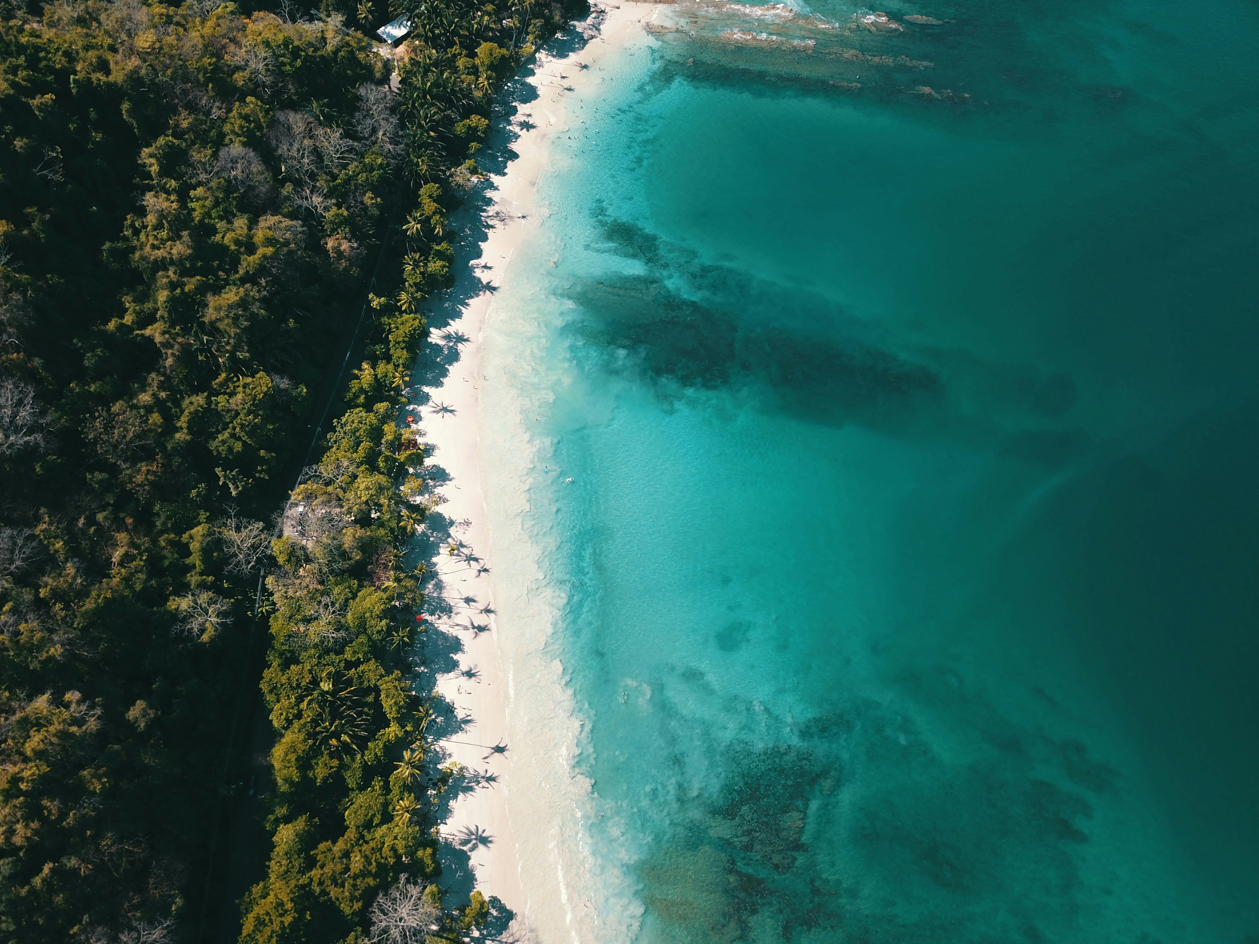
About Quepos (Puerto Quepos)
Quepos allows tourists to experience a once in a lifetime nature experience in Manuel Antonio National Park without leaving any of the familiar amenities behind. The close proximity of the park, located just 4.3 miles (7 km) to the south, and a wide array of services makes Quepos the perfect place to visit for those who wish to explore this enchanting area. The amenities available include everything from banks, restaurants, hotels, gift shops, bakeries, bars, a hospital, supermarket and even a post office. The area was once dependent on banana plantations which used to line the surrounding area. After disease infiltrated the harvest, interest transferred to African Palms as the prominent crop. Now, tourism has deemed itself the major economic factor, contributing to just about everything in the area. Quepos lures in many tourists for its fantastic sport fishing. In fact, some have come solely to participate in this world class experience and have never left, but besides sport fishing, many other activities are available. Exploring this maze of wetlands by boat is amazing but not the only way to see crocodiles, monkeys, herons, raccoons and more. This small paradise has the perfect balance between nature and the comfort and facilities someone might need.
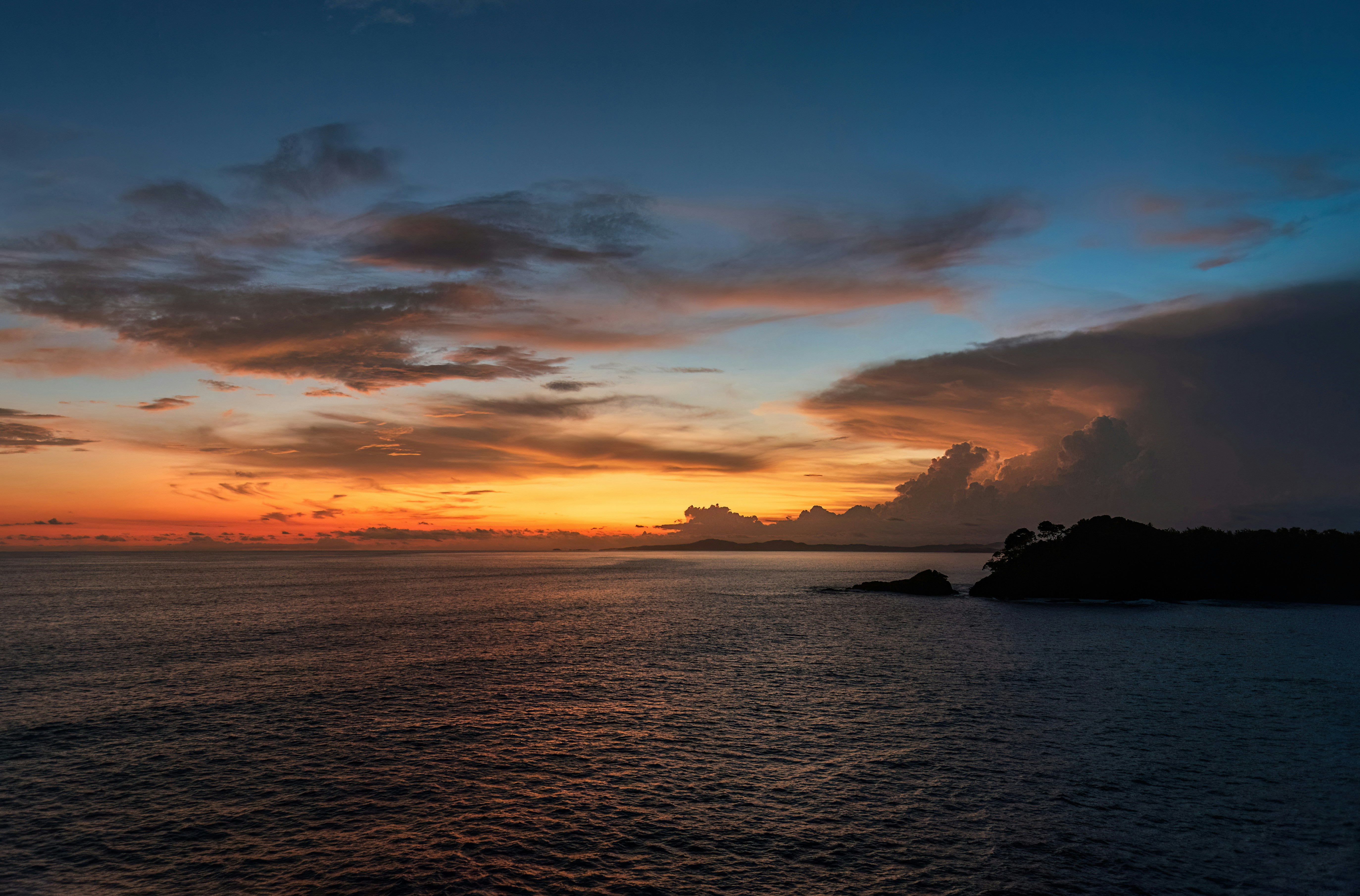
About Golfo Dulce
Wild, scenic and incredibly bio-diverse, Golfo Dulce is not on most tourists itineraries. The name, says it all, Golfo Dulce or sweet gulf, in English. After a well justified visit to the Golfo Dulce, located in the South Pacific region of Costa Rica, and adjacent to the Osa Peninsula, visitors will be delighted and perplexed, wondering why they would ever leave this wonderland. Several coastal hamlets reside along this enchanting gulf, namely Puerto Jiménez, Golfito, Zancudo and Pavones, as well as the Piedras Blancas National Park. This is one stop on the itinerary that won’t soon be forgotten. Easily one of the wettest and most humid sections in the country, Golfo Dulce and the southwest can receive more than 200 inches (500 cm) of rainfall per year. This assures the surrounding area will be thriving with wild and plant life, perfect for aspiring adventurers. Surrounded by Corcovado National Park to the southwest, and Costa Rica’s mainland to the northeast, Golfo Dulce serves up a large platter of entertainment for all who visit. Sprouting along the edges of the Golfo Dulce are mangroves and estuaries full of wildlife. Explore these ecosystems crowded with crocodiles, river otters, waterfowl, monkeys and much more. Fed by the Coto Colorado River, the Coto River Swamps are an excellent choice for discovering these uncanny wetlands and the secrets that lay within.
About Isla Parida
About Fuerte Amador
About Colón
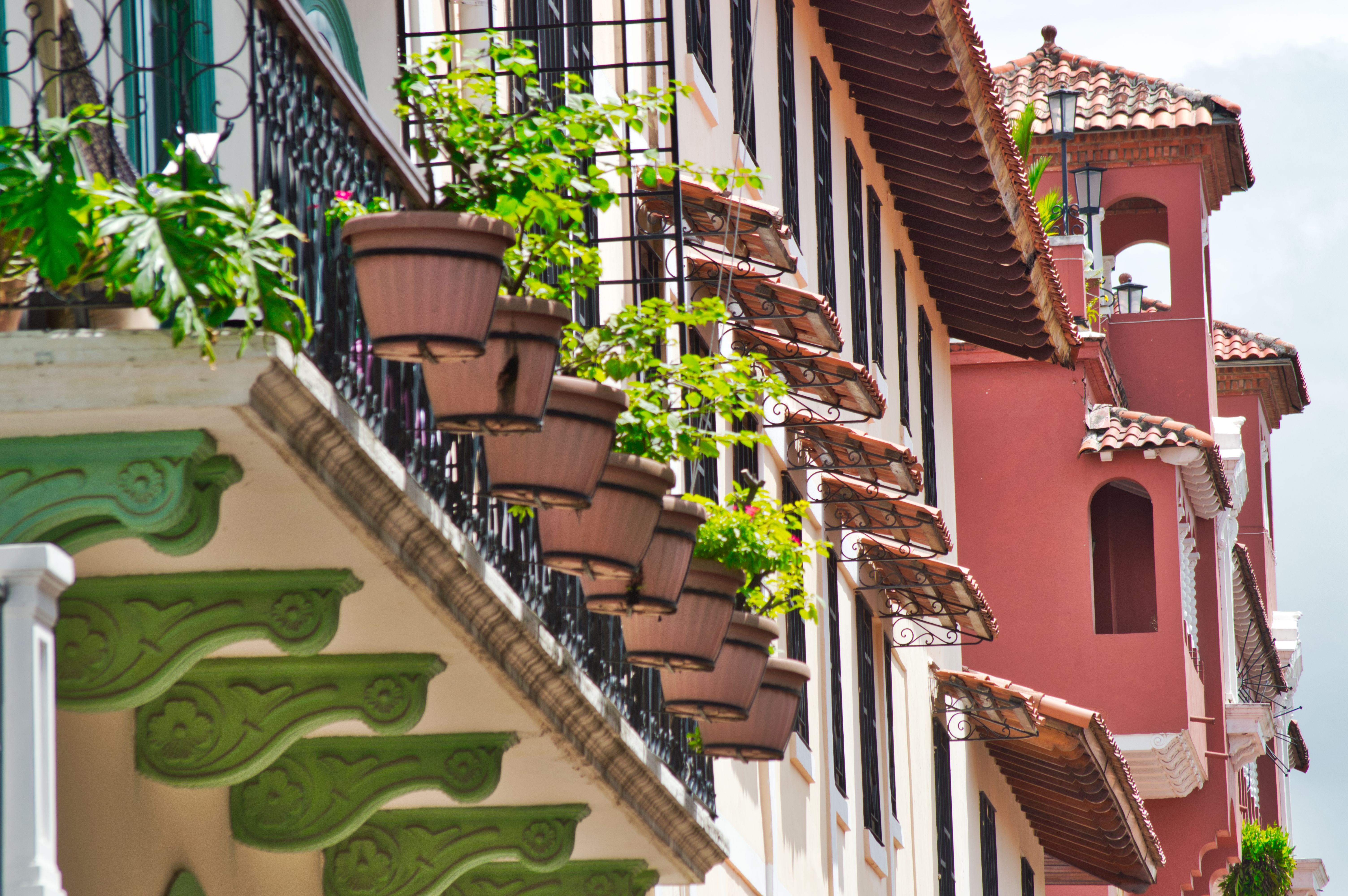
The provincial capital of Colón, beside the canal's Atlantic entrance, is named for the Spanish-language surname of Christopher Columbus, though the Americans called it Aspinwall in the 19th century.. The city was founded in 1850 by Americans working on the Panama railroad and named Aspinwall for one of the railway engineers. Following completion in 1855, Colon gained in importance, which was furthered by the plans for an isthmian canal. During the time of the French canal attempt, a fire in 1885 burned the city nearly to the ground and left thousands of people homeless. Colon was rebuilt in the architectural style then popular in France. Buildings from that era plus the ones constructed by Americans between 1904 and 1914 are still in use today, although the majority is on the verge of collapse. In addition to its importance as a port, Colon boasts the world’s second largest duty-free zone, known as Zona Libre, which is contained in a huge fortress like, walled-off area with giant international stores. However, most of the merchandise is sold in bulk to commercial businesses throughout the country.
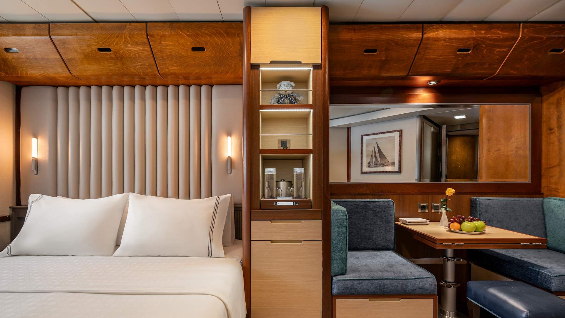
With an expansive 220 square feet, the Owner's Suite gives you everything offered in a stateroom, plus lots more, including a beautiful sitting area and separate in-room dining space.
Amenities: Owner's Suite
- Queen-size bed with luxurious linens
- Mini Bar offering and fridge
- Upgraded L'Occitane bath amenities
- In-room premium filtered water
- Large upgraded fruit plate
- Macarons & Berries upon arrival
- Daily Canapés service
- Chilled bottle of Champagne upon arrival
- Fresh flower arrangement
- Illy capsule espresso machine
- Magnifying mirror, hairdryer and umbrella
- TV with complimentary on-demand entertainment
- Safe
- Personalized Wake-Up Call Service with Preferred Beverage Coffee/Tea/Juice
- 110/220-volt outlets
- Ultimate Internet Package (Complimentary)
- Preferred check-in
- Personalized wake-up call with beverage
- Binoculars
- Invitation to Captain or Senior officer table
- Preferred Specialty Restaurant dining
- Laundry Service (various packages available for purchase)
- 24 Hour In-Room dining (complimentary)

Every inch of your 188 square feet stateroom is designed for comfort. Luxurious Egyptian cotton linens wrap you in pleasant sleepiness as you stretch out in your queen bed (can be separated into twins if you prefer). Your spacious bath features granite counter tops, ample storage, and a roomy shower with massage shower head. L'Occitane® bath products invite you to indulge, while comfy waffle-weave robe and slippers entice you to relax. You'll find fresh fruit and flowers always waiting for you after a day of sun or sightseeing. And, of course, everything else you need and expect - flat-screen television and DVD, private safe. And always at your fingertips, anything you wish from room service.
Amenities: Category AX Deluxe
- Queen Size Bed with Luxurious Linens
- Mini Bar offering and fridge
- L'Occitane Bath Amenities
- Fresh Fruit Plate
- Magnifying mirror, hairdryer and umbrella
- Waffle Weave Robe and Slippers
- Safe
- 110/220-volt outlets
- In-room premium filtered water
- Wi-Fi (internet packages available for purchase)
- TV with complimentary on-demand entertainment
Every inch of your 188 square feet stateroom is designed for comfort. Luxurious Egyptian cotton linens wrap you in pleasant sleepiness as you stretch out in your queen bed (can be separated into twins if you prefer). Your spacious bath features granite counter tops, ample storage, and a roomy shower with massage shower head. L'Occitane® bath products invite you to indulge, while comfy waffle-weave robe and slippers entice you to relax. You'll find fresh fruit and flowers always waiting for you after a day of sun or sightseeing. And, of course, everything else you need and expect - flat-screen television and DVD, private safe. And always at your fingertips, anything you wish from room service.
Amenities: Category A
- Queen Size Bed with Luxurious Linens
- Mini Bar offering and fridge
- L'Occitane Bath Amenities
- Fresh Fruit Plate
- Magnifying mirror, hairdryer and umbrella
- Waffle Weave Robe and Slippers
- Safe
- 110/220-volt outlets
- In-room premium filtered water
- Wi-Fi (internet packages available for purchase)
- TV with complimentary on-demand entertainment
- Laundry Service (various packages available for purchase)
- 24 Hour In-Room dining (complimentary)
Every inch of your 188 square feet stateroom is designed for comfort. Luxurious Egyptian cotton linens wrap you in pleasant sleepiness as you stretch out in your queen bed (can be separated into twins if you prefer). Your spacious bath features granite counter tops, ample storage, and a roomy shower with massage shower head. L'Occitane® bath products invite you to indulge, while comfy waffle-weave robe and slippers entice you to relax. You'll find fresh fruit and flowers always waiting for you after a day of sun or sightseeing. And, of course, everything else you need and expect - flat-screen television and DVD, private safe. And always at your fingertips, anything you wish from room service.
Amenities: Category BX Deluxe
- Queen Size Bed with Luxurious Linens
- Mini Bar offering and fridge
- L'Occitane Bath Amenities
- Fresh Fruit Plate
- Magnifying mirror, hairdryer and umbrella
- Waffle Weave Robe and Slippers
- 110/220-volt outlets
- In-room premium filtered water
- Safe
- Wi-Fi (internet packages available for purchase)
- TV with complimentary on-demand entertainment
- Laundry Service (various packages available for purchase)
- 24 Hour In-Room dining (complimentary)
Every inch of your 188 square feet stateroom is designed for comfort. Luxurious Egyptian cotton linens wrap you in pleasant sleepiness as you stretch out in your queen bed (can be separated into twins if you prefer). Your spacious bath features granite counter tops, ample storage, and a roomy shower with massage shower head. L'Occitane® bath products invite you to indulge, while comfy waffle-weave robe and slippers entice you to relax. You'll find fresh fruit and flowers always waiting for you after a day of sun or sightseeing. And, of course, everything else you need and expect - flat-screen television and DVD, private safe. And always at your fingertips, anything you wish from room service.
Amenities: Category B
- Queen Size Bed with Luxurious Linens
- Mini Bar offering and fridge
- L'Occitane Bath Amenities
- Fresh Fruit Plate
- Magnifying mirror, hairdryer and umbrella
- Waffle Weave Robe and Slippers
- Safe
- 110/220-volt outlets
- In-room premium filtered water
- Wi-Fi (internet packages available for purchase)
- TV with complimentary on-demand entertainment
- Laundry Service (various packages available for purchase)
- 24 Hour In-Room dining (complimentary)
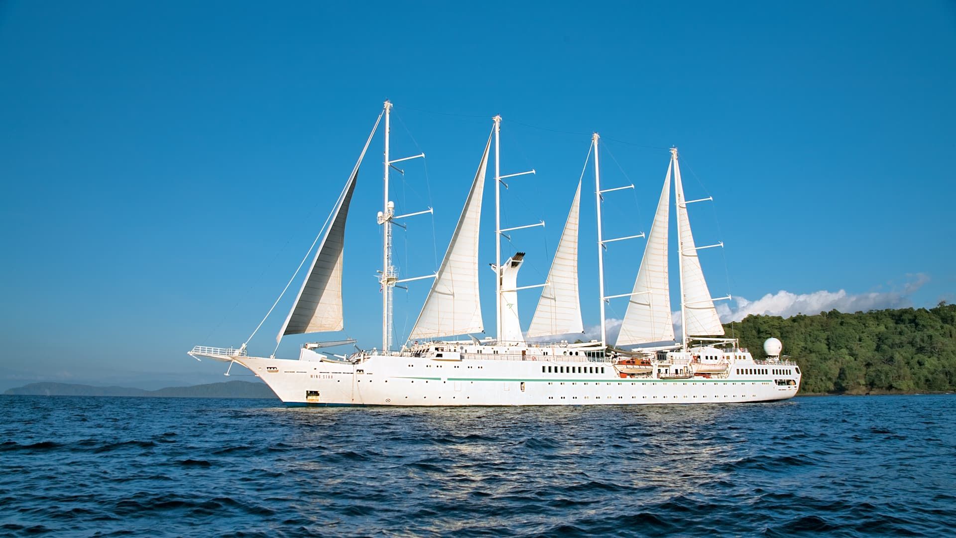
Wind Star
Sailing Yacht
Wind Star is the yacht that started it all. Commissioned in 1984, this 148-guest sailing icon helped pioneer a new kind of cruising — one with real working sails, that felt more like a private yacht than a regular cruise.
Four decades later, Wind Star still delivers that same elegant yet laid-back atmosphere — now with upgraded amenities and a stunning redesign under our Setting Sails initiative.
This intimate sailing yacht features wide-open teak decks, staterooms with ocean views, an Owner’s Suite, the World Spa by Windstar, a pool with a bar, a hot tub, a water-access marina and much more.
Wind Star also offers multiple dining options — all open seating and complimentary — including our main restaurant Amphora, the full-surface breakfast and lunch buffet Veranda, and our specialty restaurant Candles.
Ready to experience Wind Star for yourself? Join us on one of her voyages in the Mediterranean — and get ready to sail 180 Degrees From Ordinary©.
Ship Facts
| Launch Year | 1986 | ||||||||
| Refit Year | 2018 | ||||||||
| Language | en | ||||||||
| Gross Tonnage | 5736 | ||||||||
| Length | 110 | ||||||||
| Width | 15 | ||||||||
| Currency | USD | ||||||||
| Speed | 15 | ||||||||
| Capacity | 148 | ||||||||
| Crew Count | 105 | ||||||||
| Deck Count | 4 | ||||||||
| Cabin Count | 74 | ||||||||
| Large Cabin Count | 15 | ||||||||
| Wheelchair Cabin Count | 0 | ||||||||
| Electrical Plugs |
|
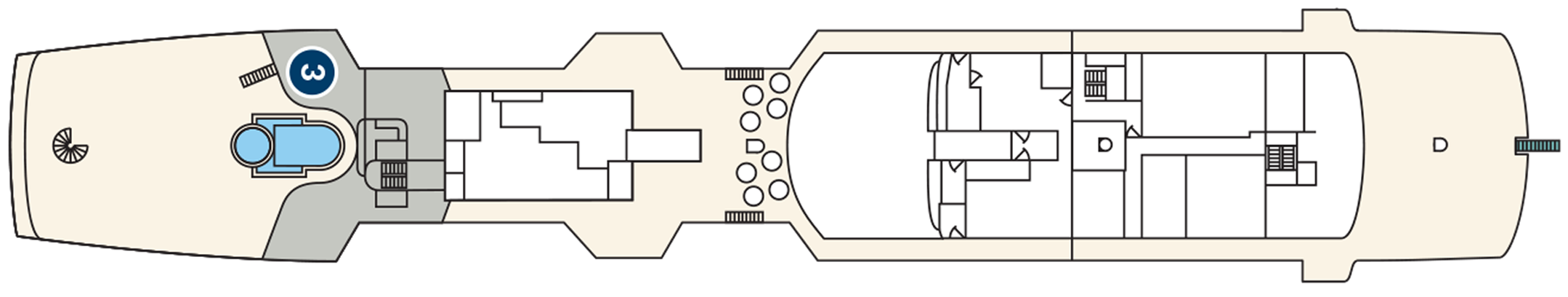
Flying Bridge
- Bridge

Deck Four
- Bridge
- Veranda/Candles
- Pool / Pool Bar / Whirlpool
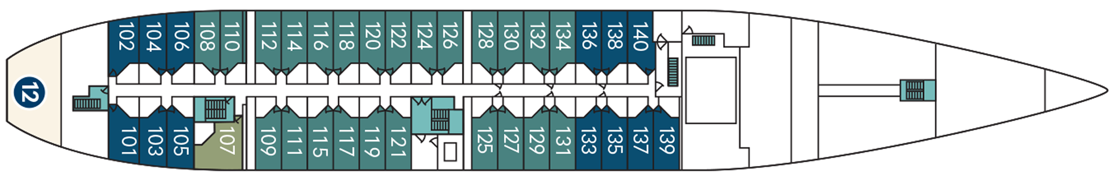
Deck Three
- Amphora Restaurant
- Star Boutique
- Reception
- Library
- World Spa by Windstar
- Lounge
- Yacht Club Café
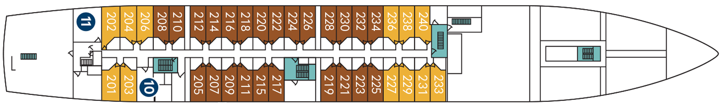
Deck Two
- Medical Center
- Fitness Centre
- Category A Cabins
- Category AX Deluxe Cabins
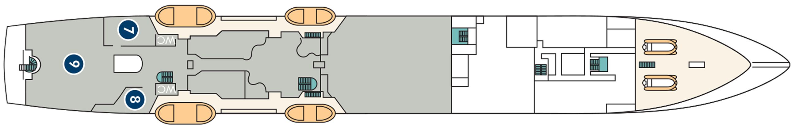
Deck One
- Marina Watersports Platform
- Owner's Suite
- Category B Cabins
- Category BX Deluxe Cabins
World Class Dining Experience
We've upped the onboard dining game with our culinary program, featuring an array of fresh, seasonal ingredients sourced from each port along the journey. Each nightly menu is crafted to highlight the spectacular flavors of the regional cuisine.
Amphora Restaurant
Here, the dining room manager seats you, but where is your decision. There are no pre-assigned tables or first or second seatings. When you dine and with whom are entirely up to you. Seating usually begins at 6:30 p.m. and will be printed in the ship's daily program. Each delightful dish is prepared exactly to your liking – an exquisite dinner served course-by-course with a fine selection of vintage wines.
Candles Restaurant
Here’s the perfect place for a romantic tête-a-tête under the stars in Candles, Windstar’s signature outdoor restaurant transformed by night into a dreamlike paradise. Delectable cuisine, memorable surroundings, inspired wine pairings.
Veranda Restaurant
It's breakfast alfresco, full service or buffet-style, anytime till 9:30 a.m. No need to hurry. Again, the choices are many in Veranda. Choose the sumptuous, seemingly endless buffet. Or, order from the lunch menu between noon and 2:30 p.m.
A day on board your Windstar ship is a day of choices, all of them good. Perhaps you’ll begin with a relaxing massage in World Spa by Windstar. Or maybe an invigorating workout in the Fitness Center. Even better, why not both? After a sumptuous lunch in Veranda, make a splash from the Watersports Platform off the ship’s stern. Everything you can think of for fun in the water is there — swimming, kayaking, sail-boarding, even water skiing. And it’s all complimentary, of course. Sun yourself on deck, take a dip in the whirlpool, then catch up on email ororder a cheese plate for your stateroom or suite. After dinner, dance to live music in the Lounge. This is your yacht, so of course you’re welcome on the Bridge, where the Captain and officers are delighted to share charts, routes, and vistas with you.
As you prepare for another amazing Windstar day, enjoy a nightcap anywhere you like — on deck, in the Lounge, or why not let us bring it to your suite or stateroom? Your day ends just as it began, blissfully.
Sun Deck
Sun Loungers can be found on Deck Four.
Pool Bar
The Pool Bar can be found on Deck Four.
Library
The Library can be found on Deck Three.
Star Boutique
Visit our newly transformed specialty shopping boutique, Star Boutique, rolling out fleet-wide through early 2022. The new shop features quality brand-name and exclusive Star Collection merchandise, from clothing and fragrances to jewelry and accessories, all at duty free or special pricing.
Yacht Club Café
Stop by the Yacht Club Café for a bite or coffee crafted by our barista.
Lounge
The Lounge is Located on Deck 3
Reception
The Reception can be found on the Deck Four.