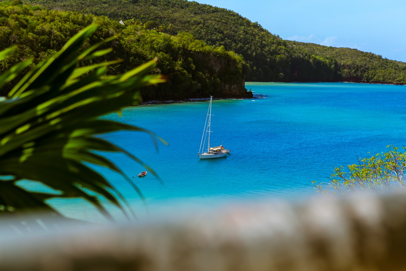
Star Collector: Grand Caribbean Adventure
Star Collector: Grand Caribbean Adventure
Cruise overview
WHY BOOK WITH US?
- ✔ The Deluxe Cruises’ team has extensive experience in ultra-luxury cruising.
- ✔ Call now to speak to our helpful and experienced Cruise Concierge team.
- ✔ Enjoy our Unique Deluxe Cruises Bonus for substantial savings.
- ✔ Our team will tailor your holiday to your exacting requirements.
- ✔ As agents, we work under the protection of each cruise lines ABTA / ATOL licences
About Philipsburg
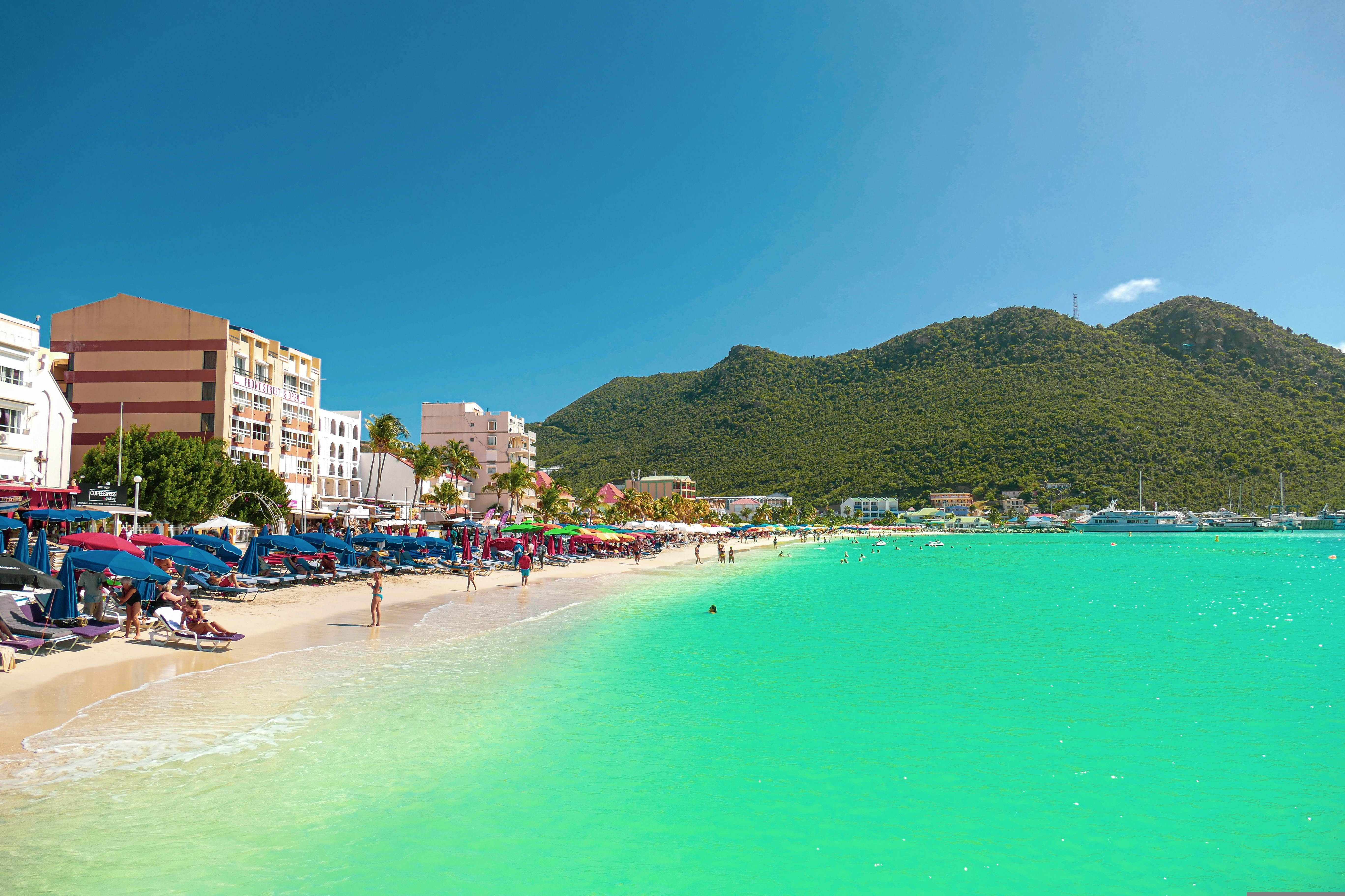
The capital of Dutch St. Maarten stretches about a mile (1½ km) along an isthmus between Great Bay and the Salt Pond and has five parallel streets. Most of the village's dozens of shops and restaurants are on Front Street, narrow and cobblestone, closest to Great Bay. It's generally congested when cruise ships are in port, because of its many duty-free shops and several casinos. Little lanes called steegjes connect Front Street with Back Street, which has fewer shops and considerably less congestion. Along the beach is a ½-mile-long (1-km-long) boardwalk with restaurants and several Wi-Fi hot spots.Wathey Square (pronounced watty) is in the heart of the village. Directly across from the square are the town hall and the courthouse, in a striking white building with cupola. The structure was built in 1793 and has served as the commander's home, a fire station, a jail, and a post office. The streets surrounding the square are lined with hotels, duty-free shops, restaurants, and cafés. The Captain Hodge Pier, just off the square, is a good spot to view Great Bay and the beach that stretches alongside.
About Falmouth
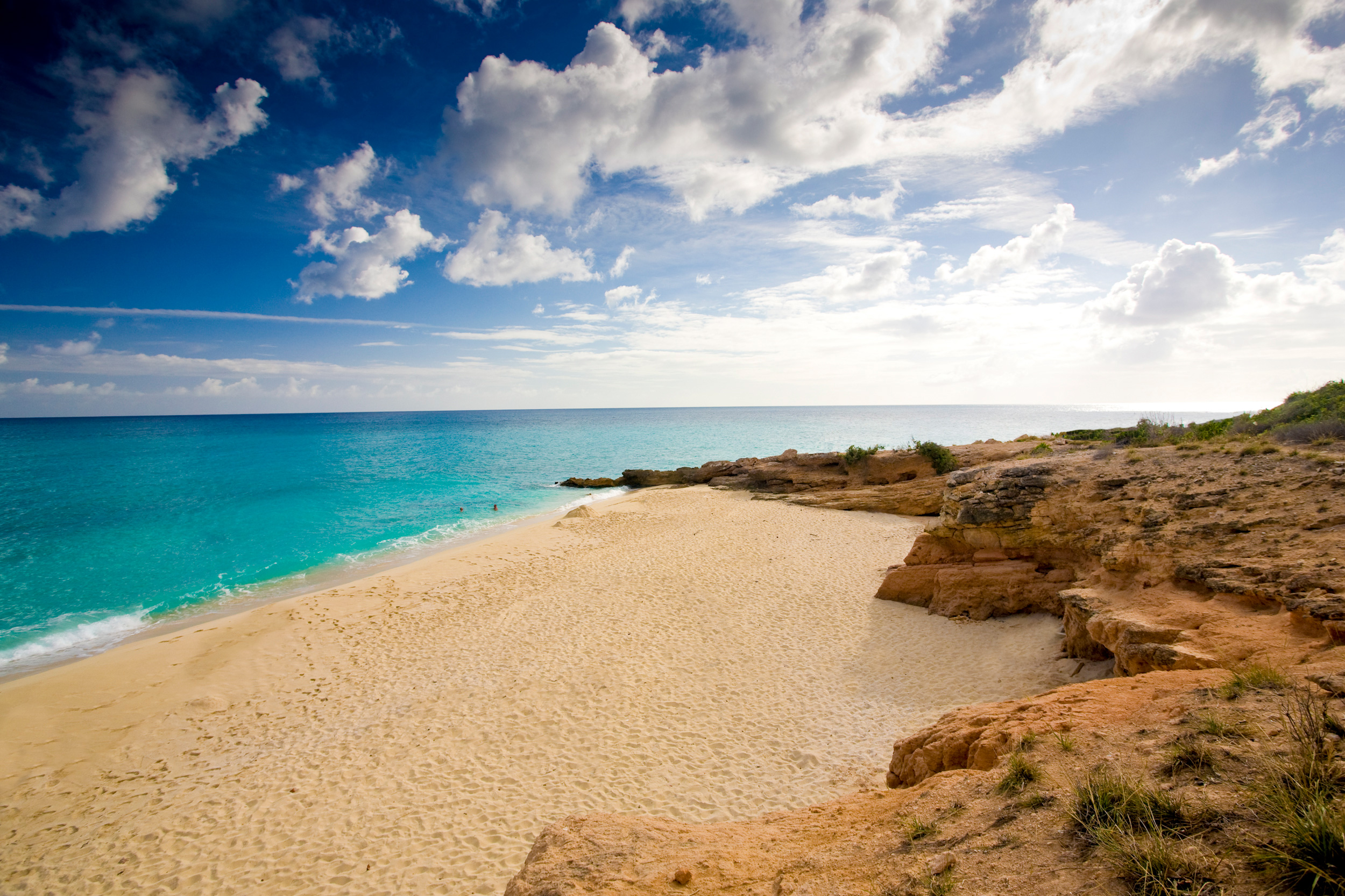
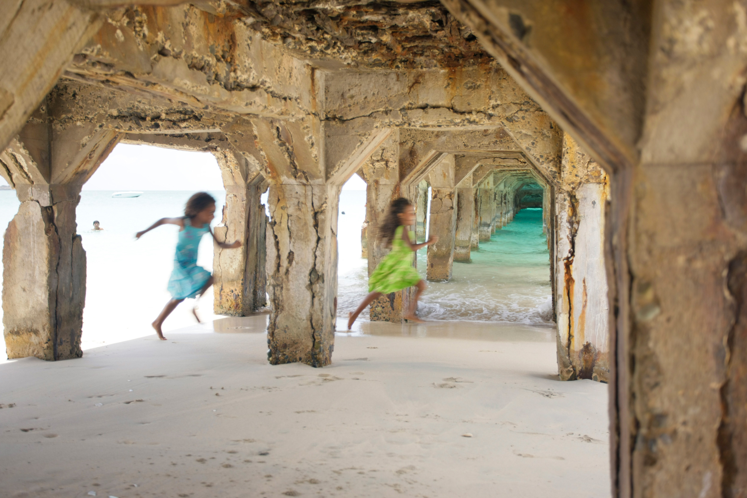
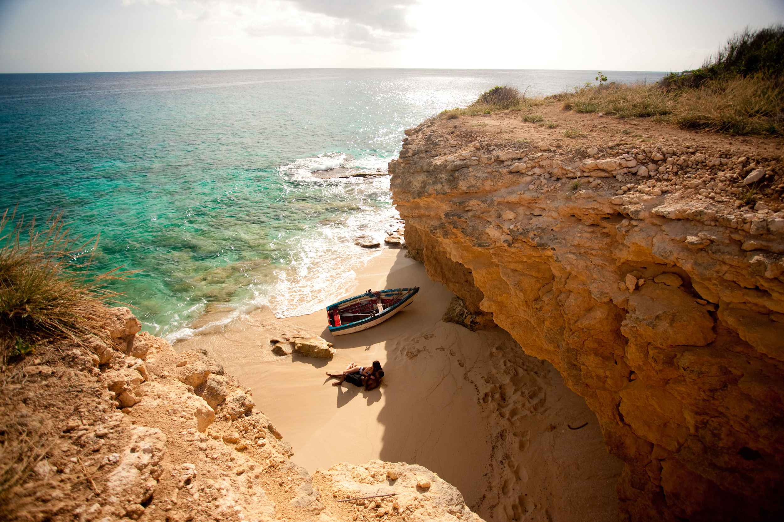
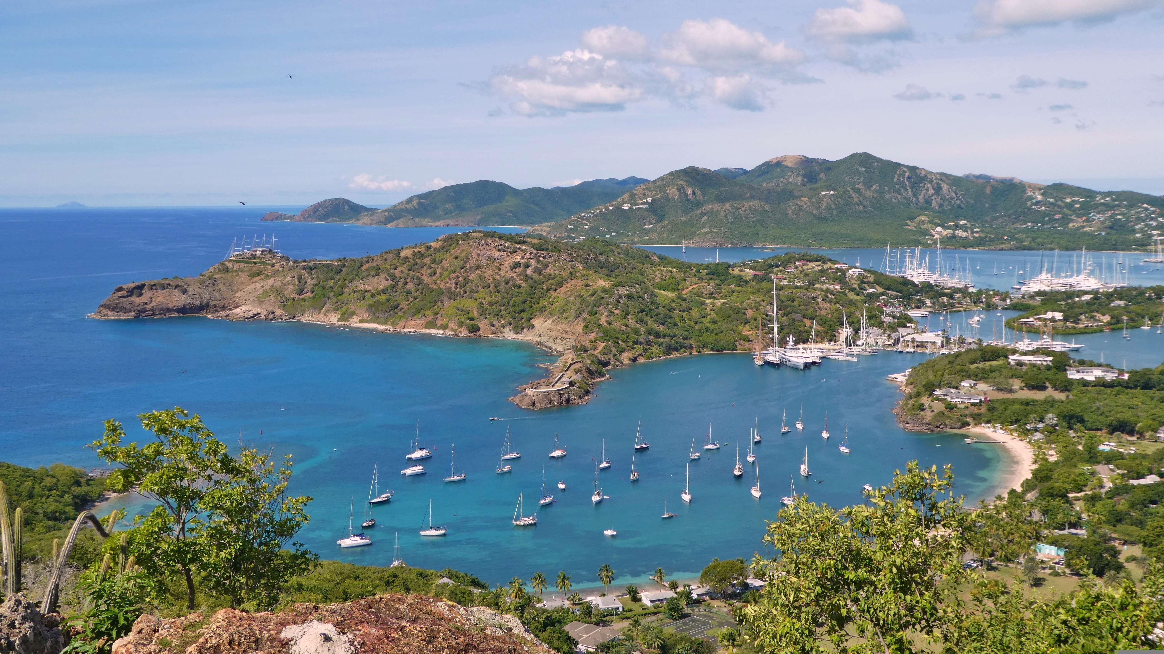
The British colonial influence is everywhere in pretty English Harbour. And yet, located on Antigua’s south coast, you are just minutes away from some of the loveliest beaches in the Caribbean. With its long ribbons of white sandy shores including the superbly named Rendez-Vous Bay Beach, the cold English drizzle and chimes of big ben have never been farther away! English Harbour is how the Caribbean is meant to be. Beautifully restored, the area still retains much in the way of its rich historic past. Nelson’s dockyard is absolutely not to be missed; a working dockyard that dates from the 18th century, this is part of a larger UNESCO World Heritage Site (Nelson’s Dockyard and National Park) which also contains Clarence House and Shirley Heights. Perhaps one of the best examples of British colonial development, the dockyard is named after the famous Admiral who lived on the island in the 1780’s. The fascinating naval history is palpable in all the buildings of this historic site and just a little further along you find beautifully restored warehouses that are now home to enchanting restaurants, art galleries, boutiques and hotels, all proudly stating their historic credentials on prominent, easy to read signs. Venturing beyond the “town” and you’ll find nature trails for all levels of fitness. Famous for having 365 different beaches, it is unsurprising then that a lot of Antiguan life takes place on its sandy shores. Beaches here offer all things to everyone so whether you want to rekindle the romance, indulge in some adrenaline fueled water sports, swim, snorkel or sail your way around the island, you’re sure to find you’re your own personal paradise here.
About Road Bay
About Sopers Hole, Tortola
About Great Harbour, Jost Van Dyke
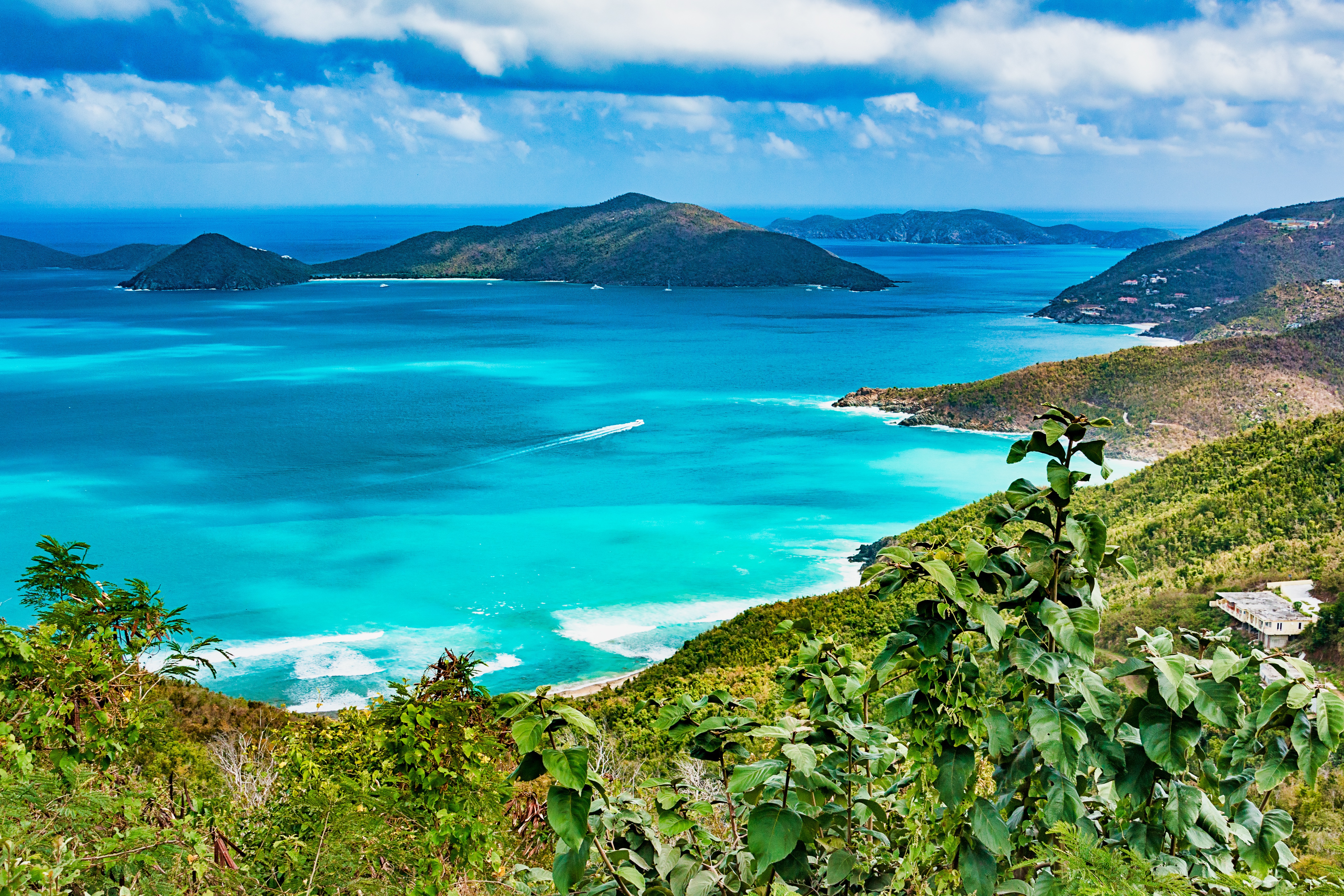
Jost Van Dyke, four miles long, is truly known as the 'barefoot island'. The smallest of the British Virgin Islands, it is known as a popular destination for yachts and is celebrated for its casual lifestyle, protected anchorages, fine beaches and beachfront restaurants and bars. The island has fewer than 200 inhabitants and they are widely known as a welcoming people. The island's name conjures up its rich, colorful past. Jost Van Dyke is said to have been named for an early Dutch settler, a former pirate. At Great Harbour, Little Harbour, and White Bay there are safe, protected bays and pristine beaches shaded with coconut palms and seagrape trees. Discover inviting shops selling local treasures, restaurants, and bars. 'The Painkiller', one of the Caribbean’s most popular drinks, originated at the Soggy Dollar Bar. Foxy’s and Gertrude's in White Bay are renowned for drinks made with the island's famous rum, frosty beers, and tales of pirates and sunken treasure. Explore Jost Van Dyke's history in the vegetation-covered ruins of centuries-old sugar mills, or on the old trails that crisscross the island. Revel in the natural beauty of the pristine, untouched beaches. Hike up to the highest spot on the island, Majohnny Point, and take in a stunning 360 degree view of the Caribbean. Relax in the natural 'bubble pool', a popular tourist attraction. Jost Van Dyke conjures up images of what the British Virgin Islands may have looked like many years ago.

About Gustavia
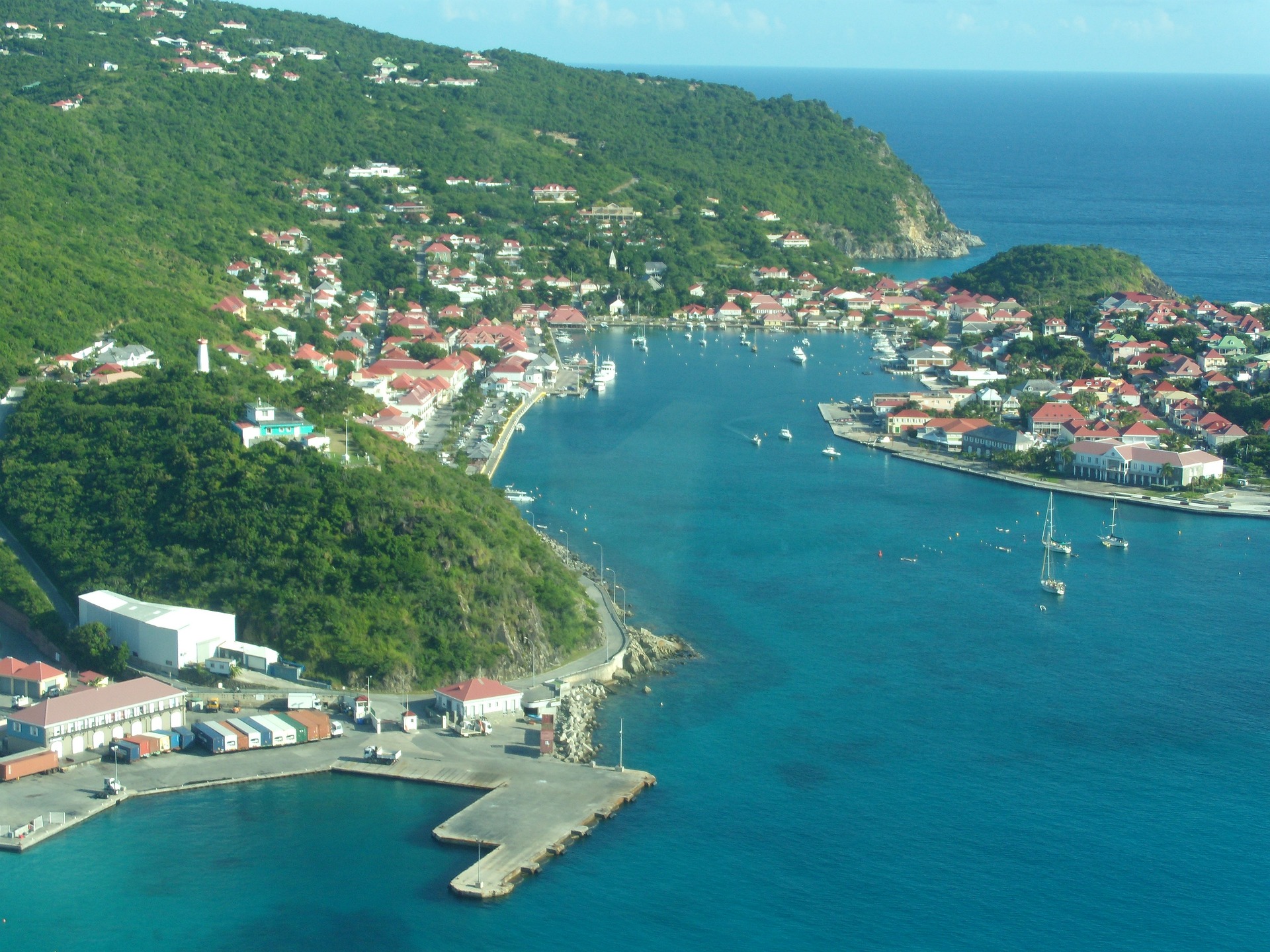
You can easily explore all of Gustavia during a two-hour stroll. Some shops close from noon to 3 or 4, so plan lunch accordingly, but stores stay open past 7 in the evening. Parking in Gustavia is a challenge, especially during vacation times. A good spot to park is rue de la République, alongside the catamarans, yachts, and sailboats.
About Philipsburg
The capital of Dutch St. Maarten stretches about a mile (1½ km) along an isthmus between Great Bay and the Salt Pond and has five parallel streets. Most of the village's dozens of shops and restaurants are on Front Street, narrow and cobblestone, closest to Great Bay. It's generally congested when cruise ships are in port, because of its many duty-free shops and several casinos. Little lanes called steegjes connect Front Street with Back Street, which has fewer shops and considerably less congestion. Along the beach is a ½-mile-long (1-km-long) boardwalk with restaurants and several Wi-Fi hot spots.Wathey Square (pronounced watty) is in the heart of the village. Directly across from the square are the town hall and the courthouse, in a striking white building with cupola. The structure was built in 1793 and has served as the commander's home, a fire station, a jail, and a post office. The streets surrounding the square are lined with hotels, duty-free shops, restaurants, and cafés. The Captain Hodge Pier, just off the square, is a good spot to view Great Bay and the beach that stretches alongside.


About Basseterre, Saint Kitts
Mountainous St. Kitts, the first English settlement in the Leeward Islands, crams some stunning scenery into its 65 square miles (168 square km). Vast, brilliant green fields of sugarcane (the former cash crop, now slowly being replanted) run to the shore. The fertile, lush island has some fascinating natural and historical attractions: a rain forest replete with waterfalls, thick vines, and secret trails; a central mountain range dominated by the 3,792-foot Mt. Liamuiga, whose crater has long been dormant; and Brimstone Hill, known in the 18th century as the Gibraltar of the West Indies. St. Kitts and Nevis, along with Anguilla, achieved self-government as an associated state of Great Britain in 1967. In 1983 St. Kitts and Nevis became an independent nation. English with a strong West Indian lilt is spoken here. People are friendly but shy; always ask before you take photographs. Also, be sure to wear wraps or shorts over beach attire when you're in public places.
About Gustavia
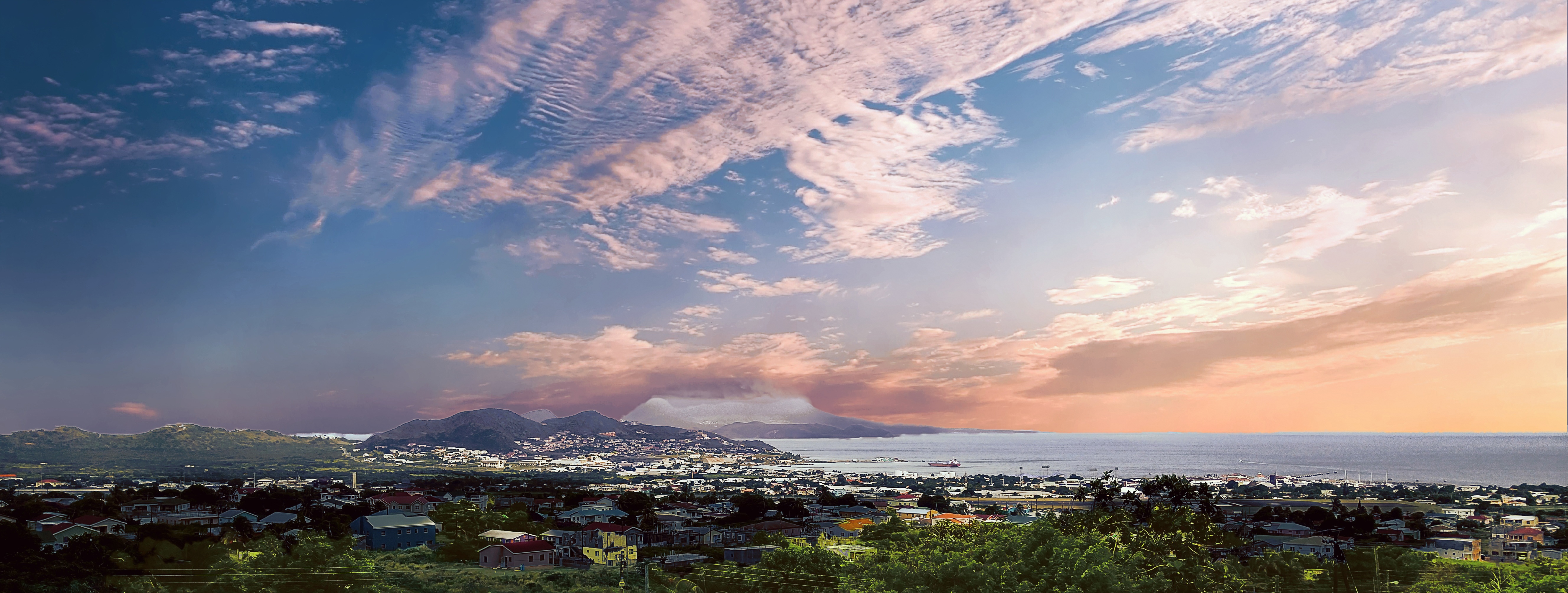
You can easily explore all of Gustavia during a two-hour stroll. Some shops close from noon to 3 or 4, so plan lunch accordingly, but stores stay open past 7 in the evening. Parking in Gustavia is a challenge, especially during vacation times. A good spot to park is rue de la République, alongside the catamarans, yachts, and sailboats.

About Terre-de-Haut
About Mayreau Island
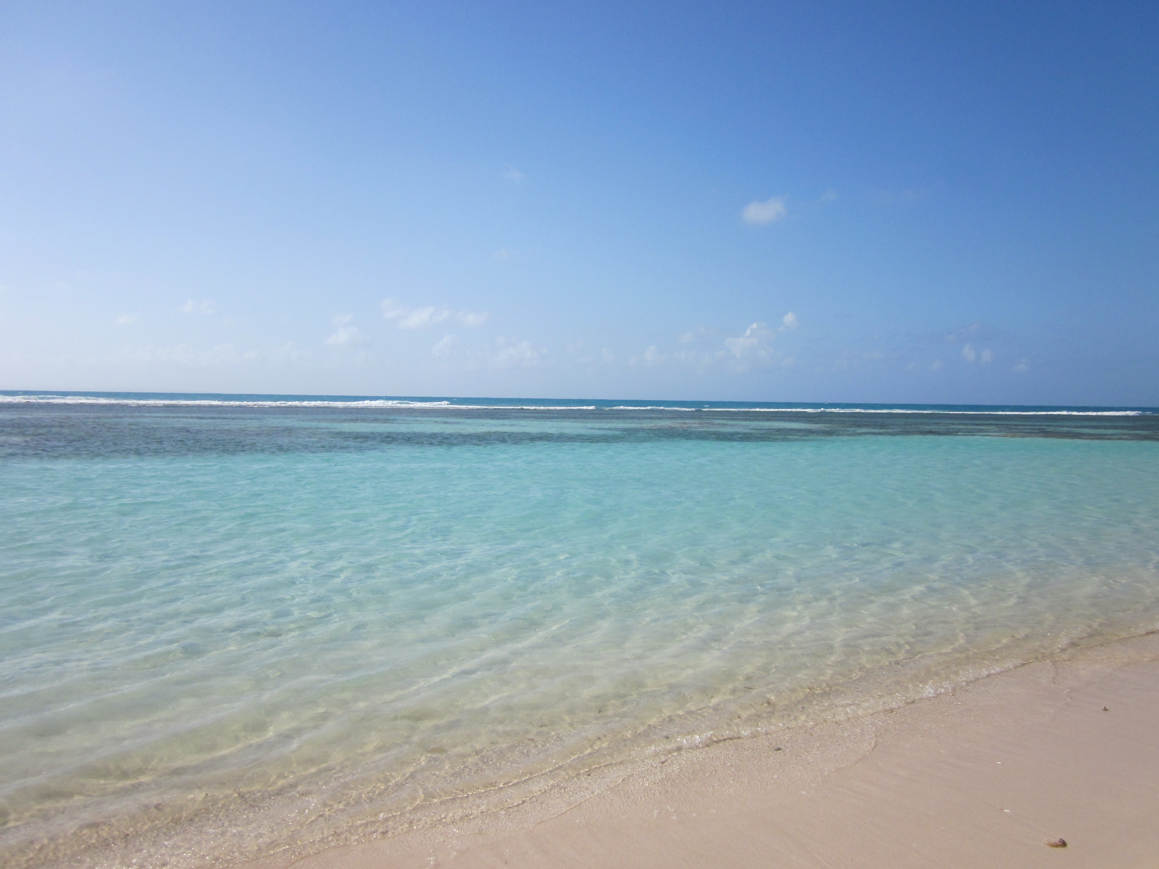
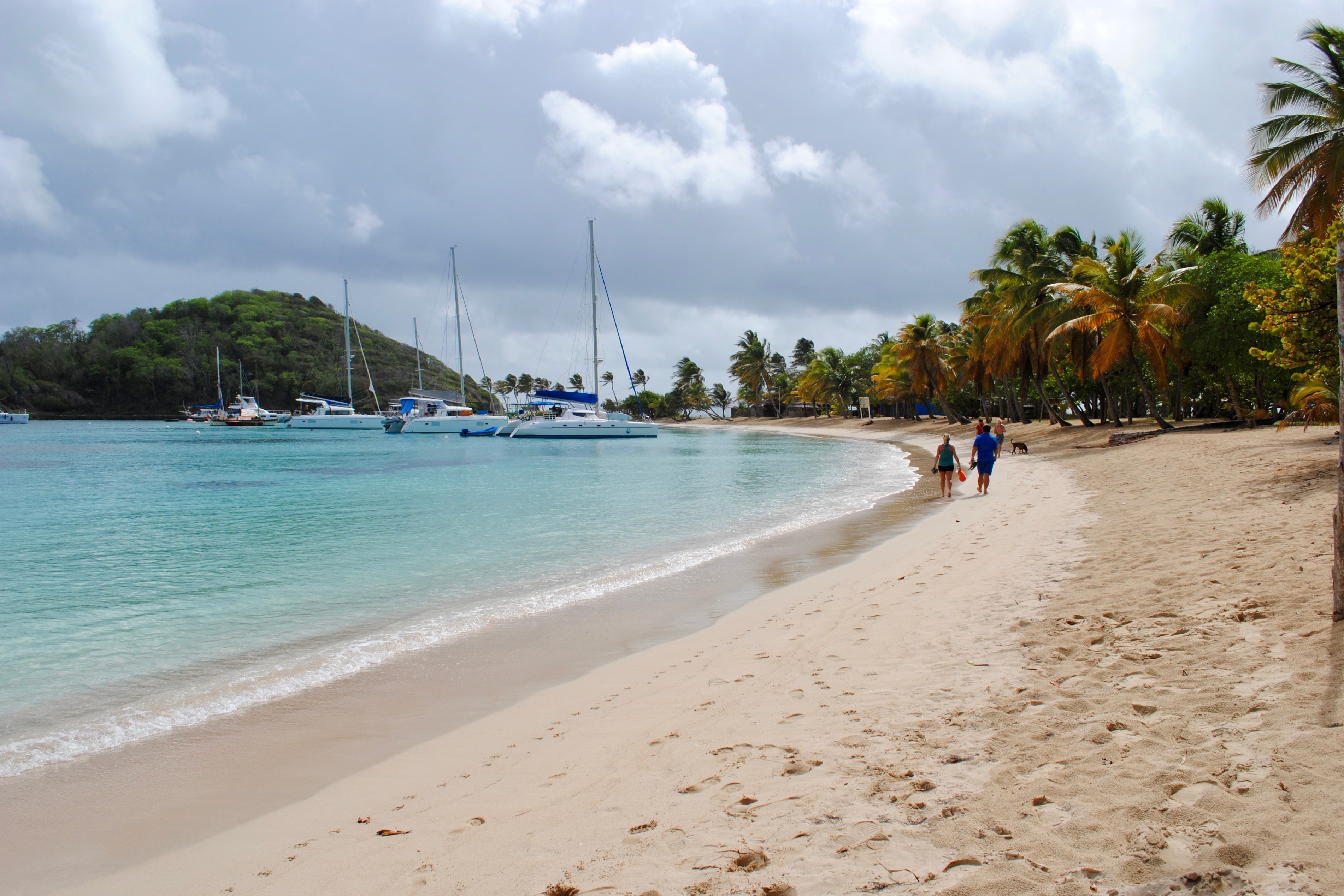
The small island of Mayreau, just one and 1/2 square miles in area (3.9 square kilometres) is the smallest inhabited island of The Grenadines, and is part of the independent state of St.Vincent in the eastern Caribbean Sea. Two of the best known islands in The Grenadines are Mustique and Bequia, the second largest island in this group. The Grenadine Islands are strung out in a gentle sweep between St.Vincent and Grenada. Most visitors to Mayreau arrive from cruise ships, on the regular ferry, or by yacht. There are no proper roads on the island, only a few vehicles, no airport and only a single unnamed village. Mayreau and the neighboring Tobago Cays are very popular for divers and snorkellers. Saline Bay, on the west coast of the island, has a wonderful broad beach and a few local vendors selling T-shirts and local craft. A climb up the road to the hilltop village on the island provides breathtaking views across Mayreau, Canouan, the Tobago Cays and Carriacou.
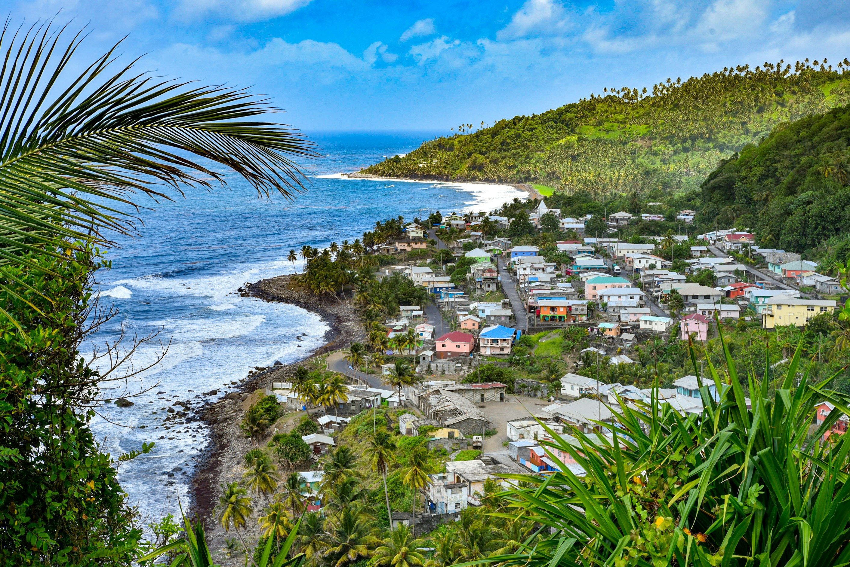
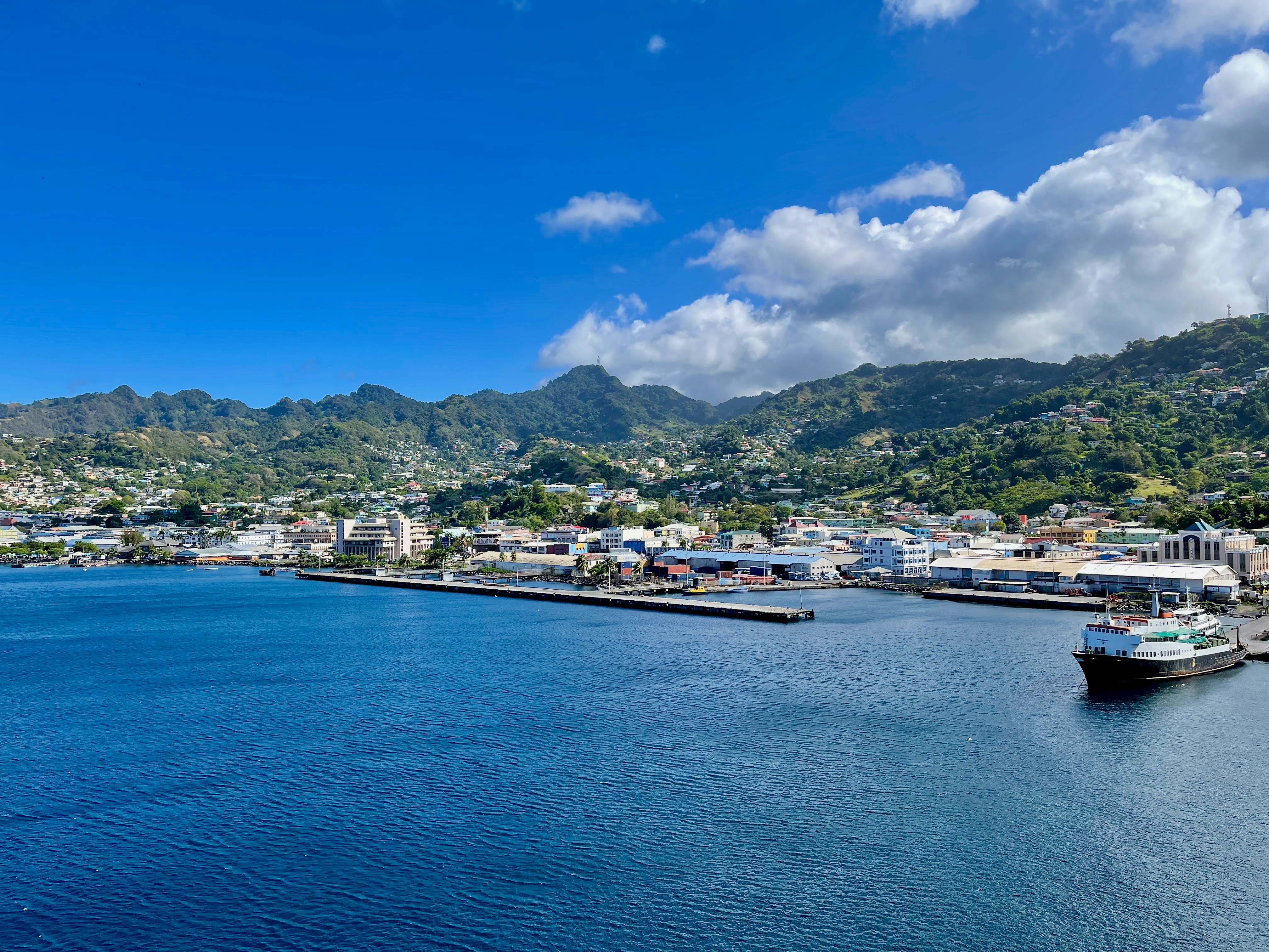
About Kingstown
About Bridgetown
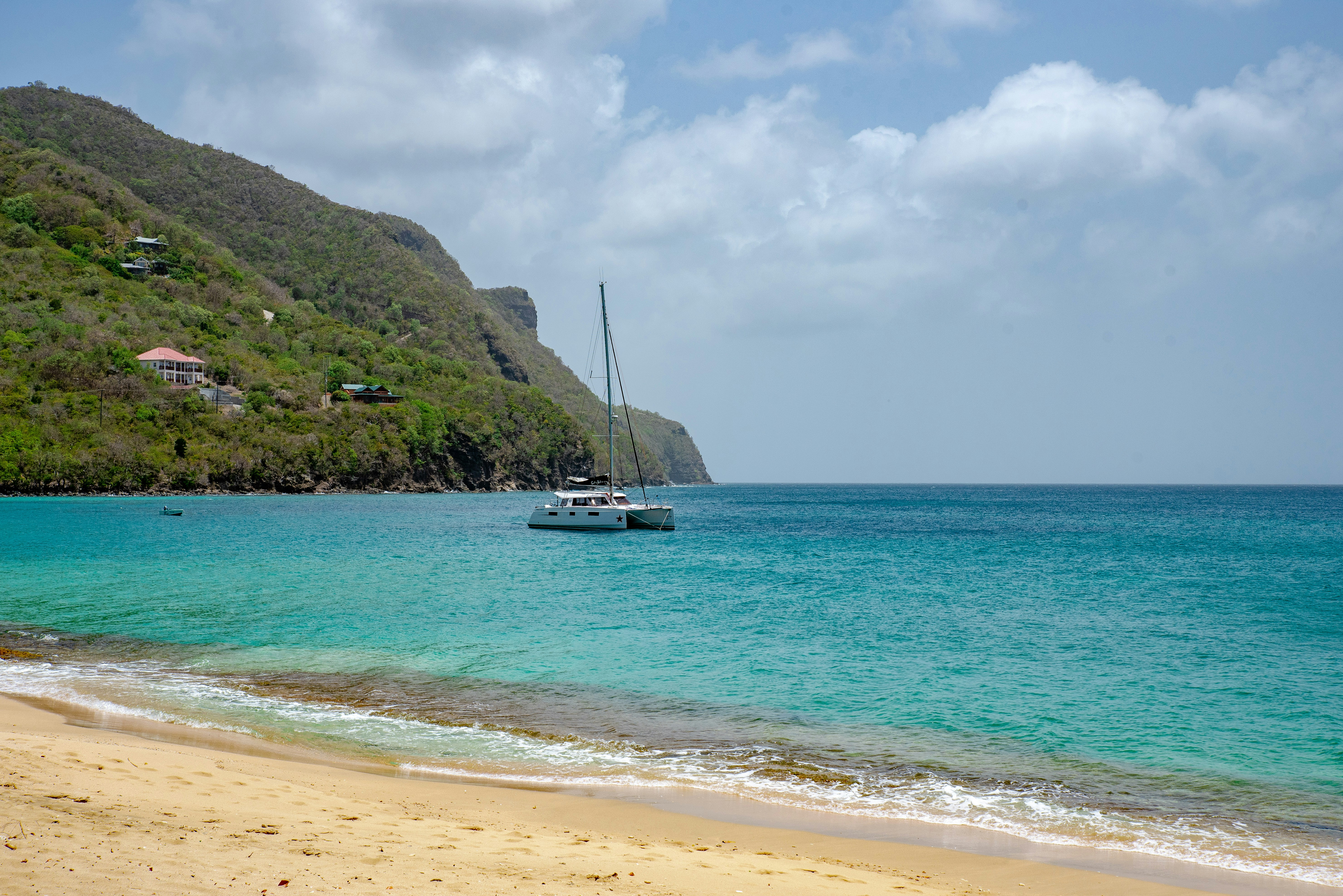
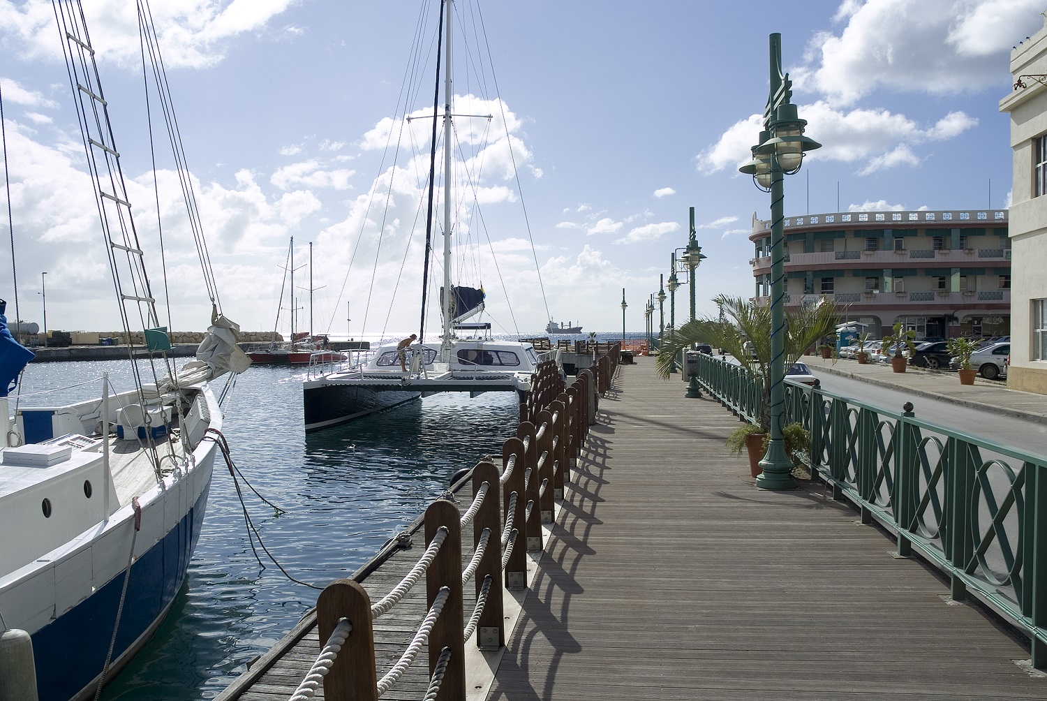
Located beside the island’s only natural harbour, the capital of Barbados combines modern and colonial architecture with glorious palm tree-lined beaches and a number of historical attractions. Experience the relaxed culture of the city renowned for its British-style parliament buildings and vibrant beach life, and seek out the Anglican church and the 19th-century Barbados Garrison. The distance between the ship and your tour vehicle may vary. This distance is not included in the excursion grades.
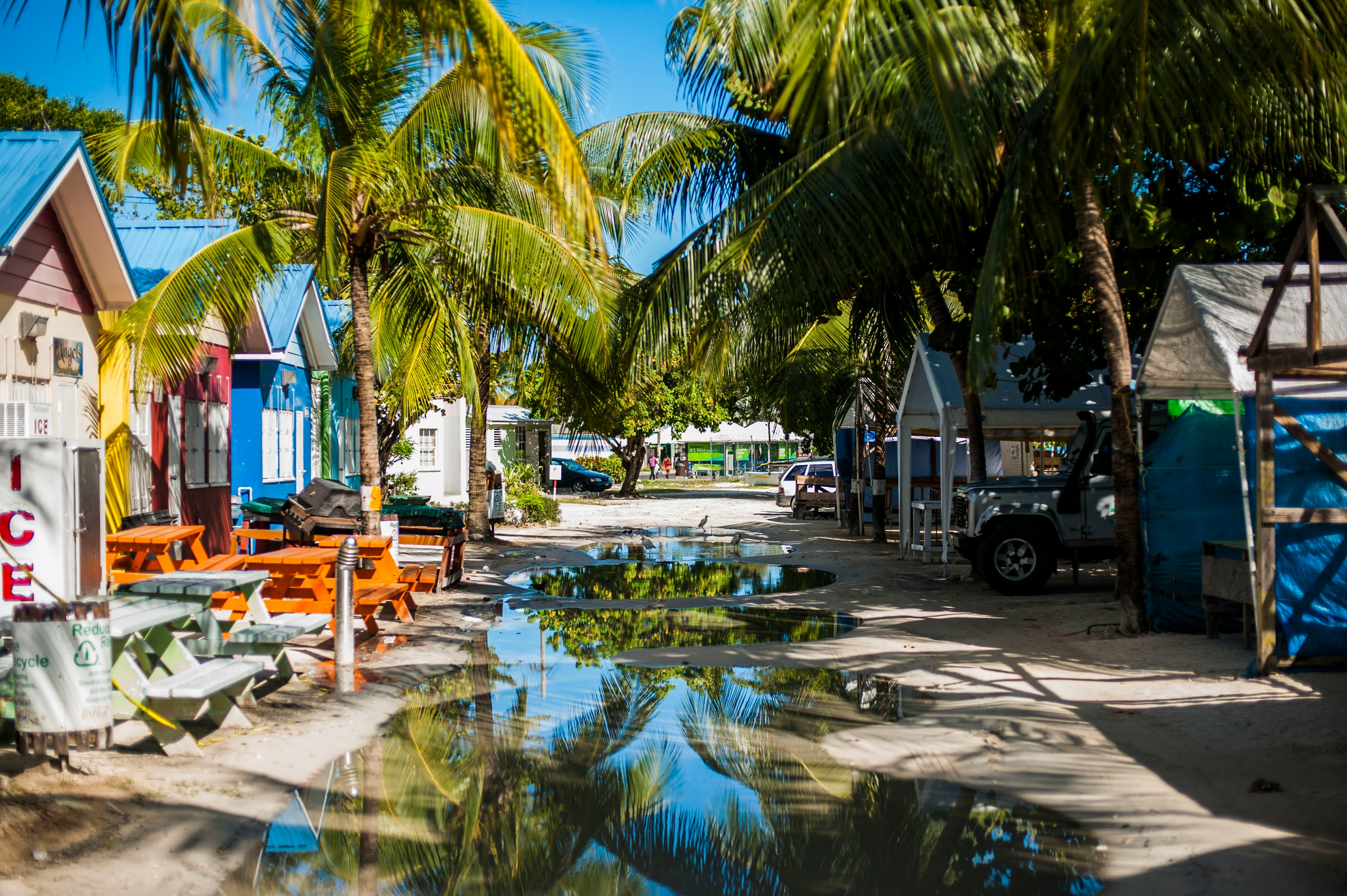
About Trois-Ilets
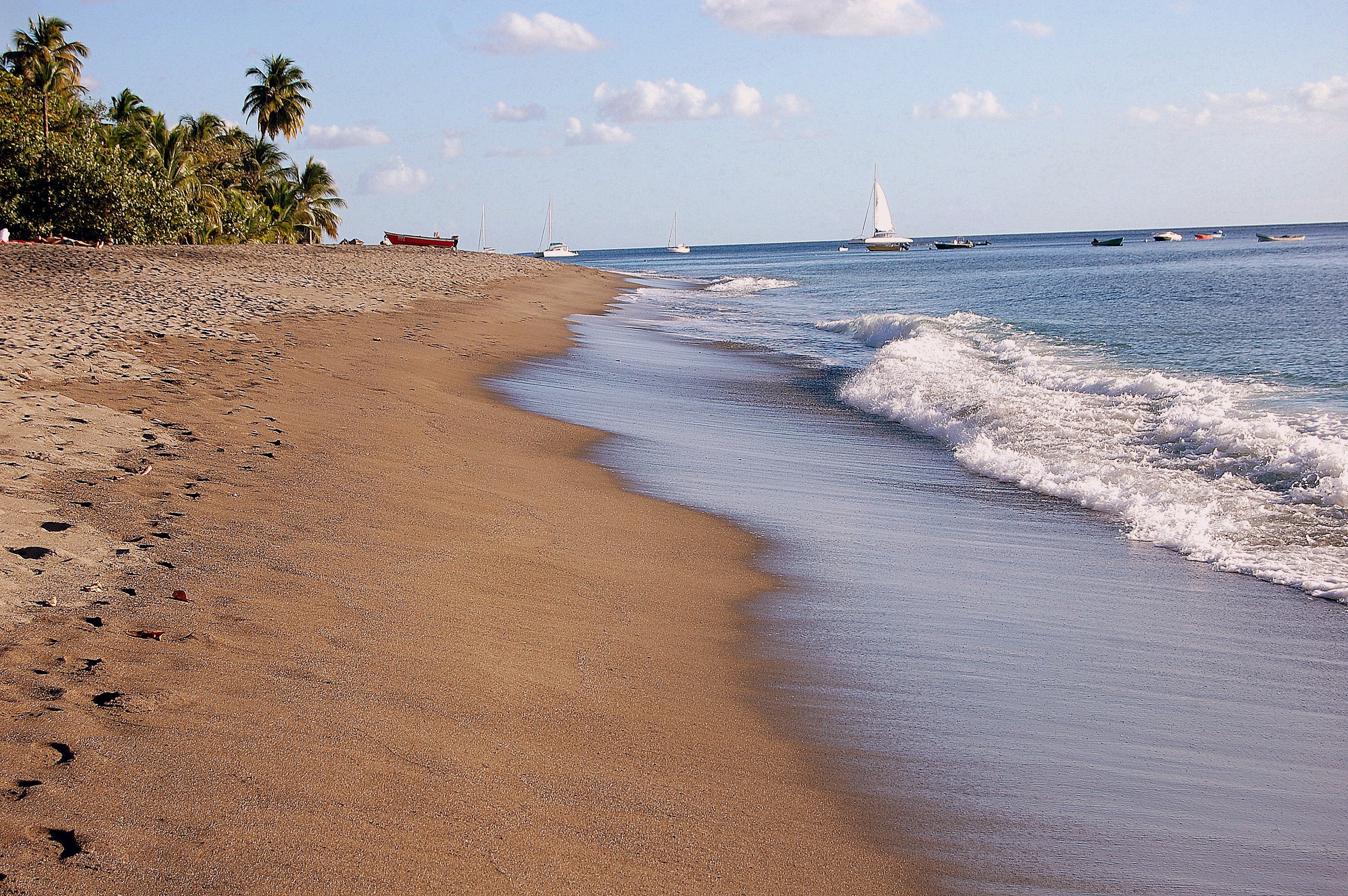
About Castries
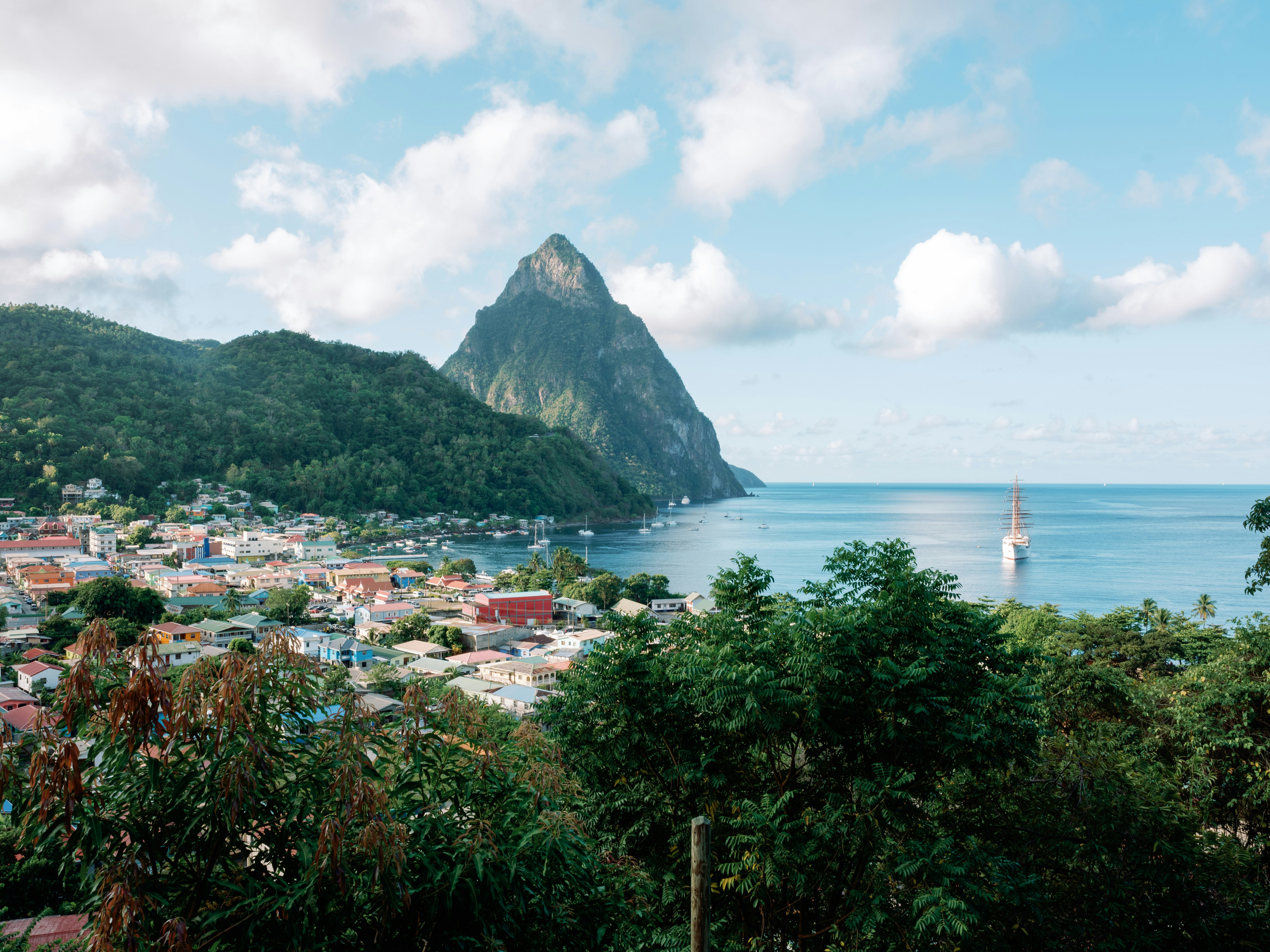
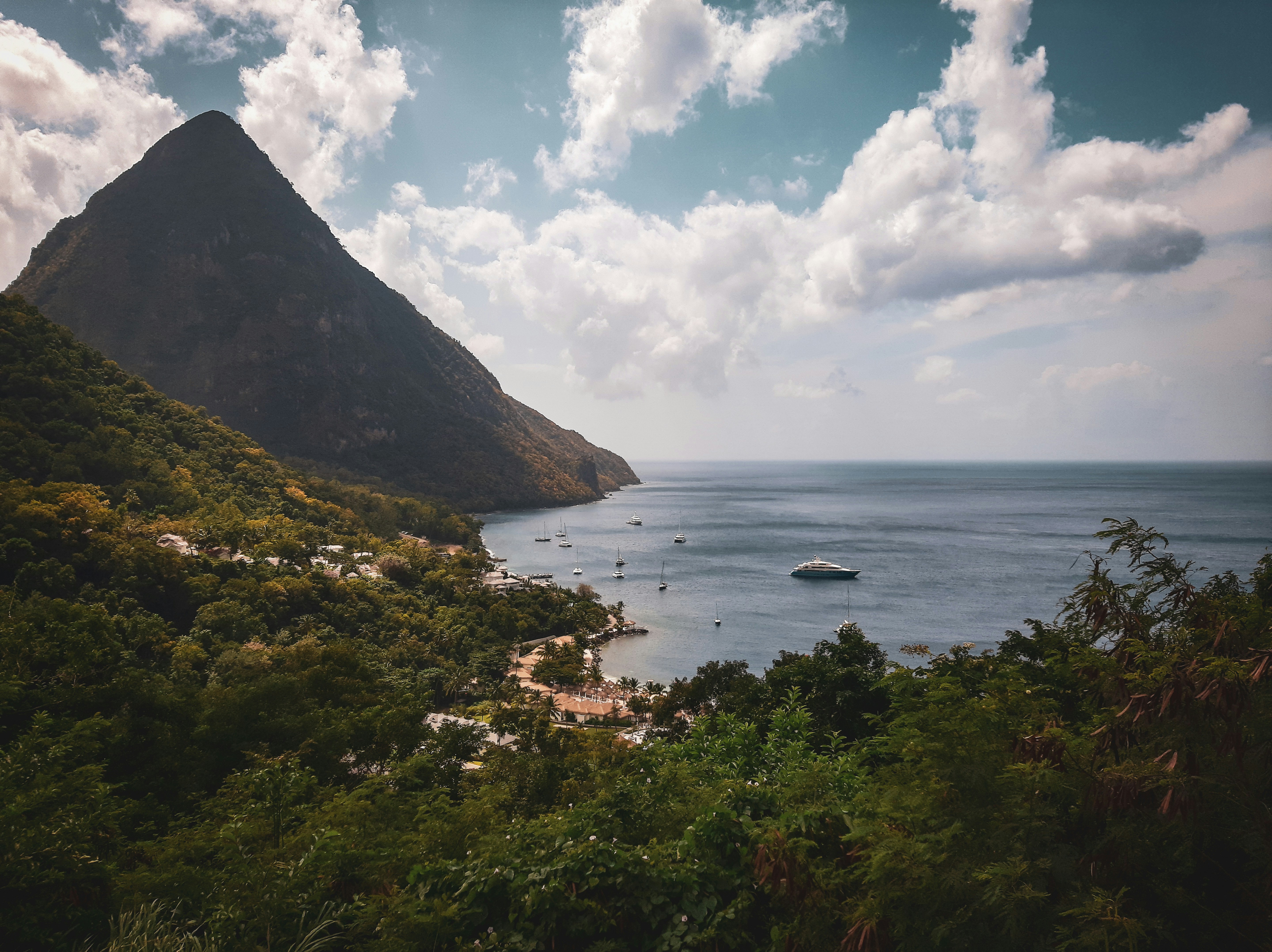
The typical image of a lush tropical paradise comes to life on the friendly island of St Lucia. Despite its small size – just 27 miles long and 14 miles wide – St Lucia is rich in natural splendour with dense emerald rainforest, banana plantations and orchards of coconut, mango and papaya trees. The twin peaks of Les Pitons, now a UNESCO World Heritage Site rise dramatically 2,000 feet into the sky and dominate the island. Look out for unusual birds with brilliant plumage such as the St Lucia parrot, see a surprising diversity of exotic flora and enjoy the warm hospitality of the islanders in the small villages and open-air markets. Please be aware that St Lucia is a small, mountainous island, with steep, winding and bumpy roads. Customers with back and neck problems should take this into consideration when booking an excursion.
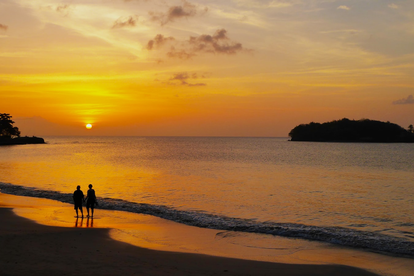

About Pigeon Island
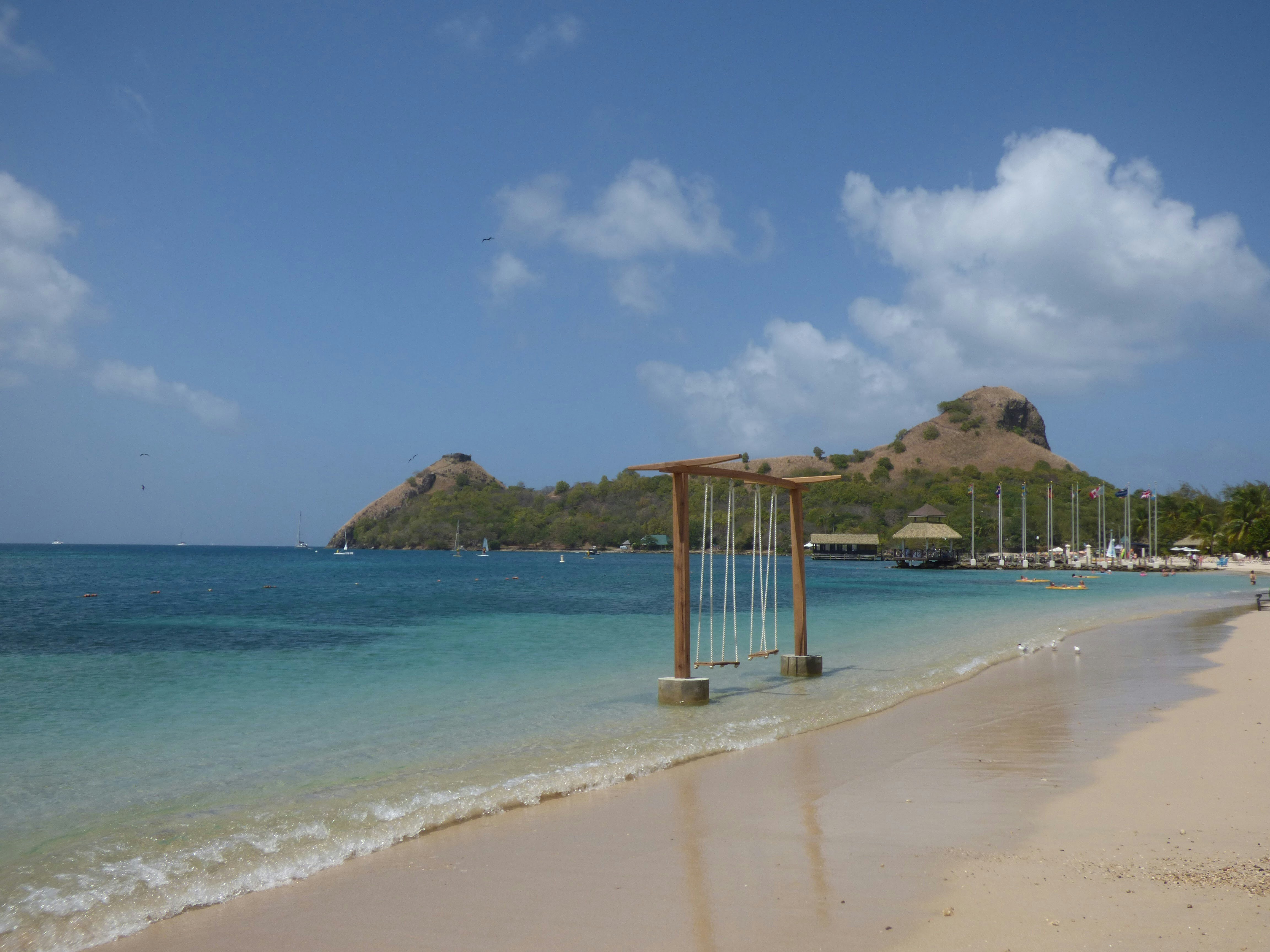
About Pigeon Island

About Port Elizabeth, Bequia
Bequia is a Carib word meaning "island of the cloud." Hilly and green with several golden-sand beaches, Bequia is 9 miles (14½ km) south of St. Vincent's southwestern shore; with a population of 5,000, it's the largest of the Grenadines. Although boatbuilding, whaling, and fishing have been the predominant industries here for generations, sailing has now become almost synonymous with Bequia. Admiralty Bay is a favored anchorage for both privately owned and chartered yachts. Lodgings range from comfortable resorts and villas to cozy West Indian—style inns. Bequia's airport and the frequent ferry service from St. Vincent make this a favorite destination for day-trippers, as well. The ferry docks in Port Elizabeth, a tiny town with waterfront bars, restaurants, and shops where you can buy handmade souvenirs—including the exquisitely detailed model sailboats that are a famous Bequia export. The Easter Regatta is held during the four-day Easter weekend, when revelers gather to watch boat races and celebrate the island's seafaring traditions with food, music, dancing, and competitive games.To see the views, villages, beaches, and boatbuilding sites around Bequia, hire a taxi at the jetty in Port Elizabeth. Several usually line up under the almond trees to meet each ferry from St. Vincent.

About Mayreau Island
The small island of Mayreau, just one and 1/2 square miles in area (3.9 square kilometres) is the smallest inhabited island of The Grenadines, and is part of the independent state of St.Vincent in the eastern Caribbean Sea. Two of the best known islands in The Grenadines are Mustique and Bequia, the second largest island in this group. The Grenadine Islands are strung out in a gentle sweep between St.Vincent and Grenada. Most visitors to Mayreau arrive from cruise ships, on the regular ferry, or by yacht. There are no proper roads on the island, only a few vehicles, no airport and only a single unnamed village. Mayreau and the neighboring Tobago Cays are very popular for divers and snorkellers. Saline Bay, on the west coast of the island, has a wonderful broad beach and a few local vendors selling T-shirts and local craft. A climb up the road to the hilltop village on the island provides breathtaking views across Mayreau, Canouan, the Tobago Cays and Carriacou.

About Saint George's
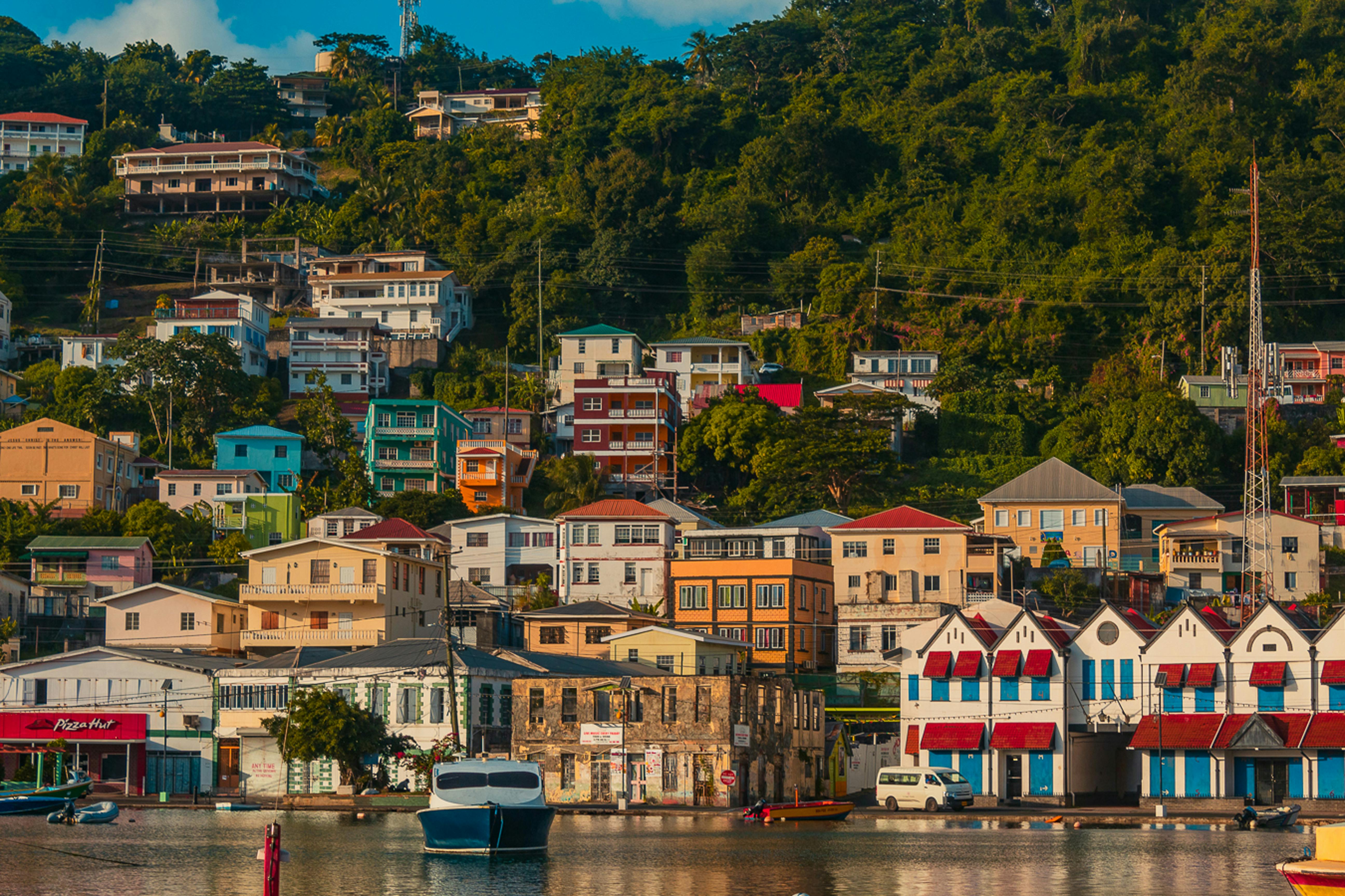
Nutmeg, cinnamon, cloves, cocoa those heady aromas fill the air in Grenada (pronounced gruh-nay-da). Only 21 miles (33½ km) long and 12 miles (19½ km) wide, the Isle of Spice is a tropical gem of lush rain forests, white-sand beaches, secluded coves, exotic flowers, and enough locally grown spices to fill anyone's kitchen cabinet. St. George's is one of the most picturesque capital cities in the Caribbean, St. George's Harbour is one of the most picturesque harbors, and Grenada's Grand Anse Beach is one of the region's finest beaches. The island has friendly, hospitable people and enough good shopping, restaurants, historic sites, and natural wonders to make it a popular port of call. About one-third of Grenada's visitors arrive by cruise ship, and that number continues to grow each year. Grenada's capital is a bustling West Indian city, much of which remains unchanged from colonial days. Narrow streets lined with shops wind up, down, and across steep hills. Brick warehouses cling to the waterfront, and pastel-painted homes rise from the waterfront and disappear into steep green hills. The horseshoe-shaped St. George's Harbour, a submerged volcanic crater, is arguably the prettiest harbor in the Caribbean. Schooners, ferries, and tour boats tie up along the seawall or at the small dinghy dock. The Carenage (pronounced car-a-nahzh), which surrounds the harbor, is the capital's center. Warehouses, shops, and restaurants line the waterfront. The Christ of the Deep statue that sits on the pedestrian plaza at the center of The Carenage was presented to Grenada by Costa Cruise Line in remembrance of its ship, Bianca C, which burned and sank in the harbor in 1961 and is now a favorite dive site. An engineering feat for its time, the 340-foot-long Sendall Tunnel was built in 1895 and named for Walter Sendall, an early governor. The narrow tunnel, used by both pedestrians and vehicles, separates the harbor side of St. George's from the Esplanade on the bay side of town, where you can find the markets (produce, meat, and fish), the Cruise Ship Terminal, the Esplanade Mall, and the public bus station.
About Bridgetown
Located beside the island’s only natural harbour, the capital of Barbados combines modern and colonial architecture with glorious palm tree-lined beaches and a number of historical attractions. Experience the relaxed culture of the city renowned for its British-style parliament buildings and vibrant beach life, and seek out the Anglican church and the 19th-century Barbados Garrison. The distance between the ship and your tour vehicle may vary. This distance is not included in the excursion grades.


About Man O War Bay, Tobago
About Mayreau Island
The small island of Mayreau, just one and 1/2 square miles in area (3.9 square kilometres) is the smallest inhabited island of The Grenadines, and is part of the independent state of St.Vincent in the eastern Caribbean Sea. Two of the best known islands in The Grenadines are Mustique and Bequia, the second largest island in this group. The Grenadine Islands are strung out in a gentle sweep between St.Vincent and Grenada. Most visitors to Mayreau arrive from cruise ships, on the regular ferry, or by yacht. There are no proper roads on the island, only a few vehicles, no airport and only a single unnamed village. Mayreau and the neighboring Tobago Cays are very popular for divers and snorkellers. Saline Bay, on the west coast of the island, has a wonderful broad beach and a few local vendors selling T-shirts and local craft. A climb up the road to the hilltop village on the island provides breathtaking views across Mayreau, Canouan, the Tobago Cays and Carriacou.

About Soufrière
The oldest town in St. Lucia and the island’s former French colonial capital, Soufrière was founded by the French in 1746 and named for its proximity to the volcano of the same name. The wharf is the center of activity in this sleepy town (population, 9,000), particularly when a cruise ship anchors in pretty Soufrière Bay. French colonial influences are evident in the second-story verandahs, gingerbread trim, and other appointments of the wooden buildings that surround the market square. The market building itself is decorated with colorful murals. Soufrière, the site of much of St. Lucia’s renowned natural beauty, is the destination of most sightseeing trips. This is where you can get up close to the iconic Pitons and visit colonial capital of St. Lucia, with its "drive-in" volcano, botanical gardens, working plantations, waterfalls, and countless other examples of the natural beauty for which St. Lucia is deservedly famous.
About Kralendijk
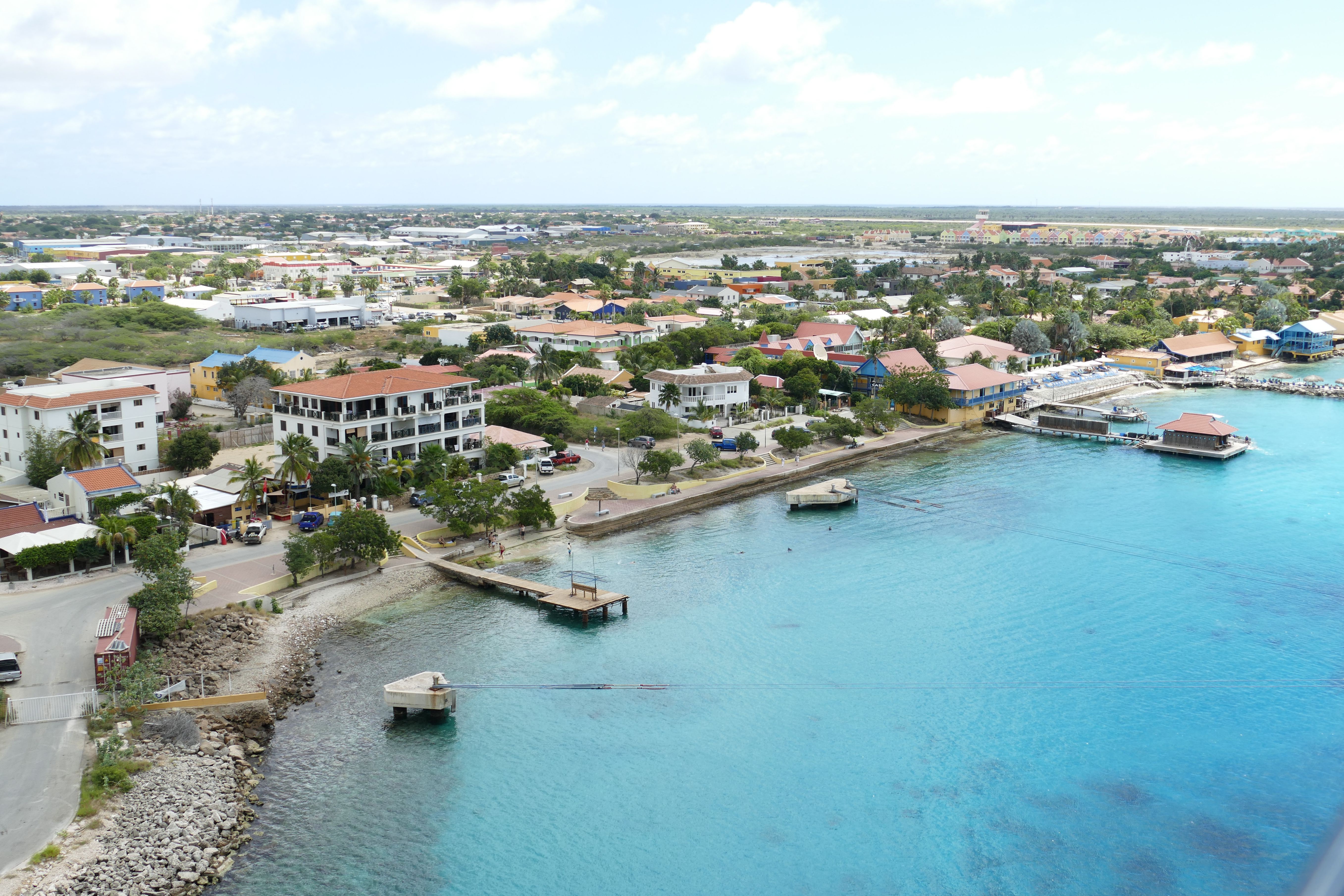
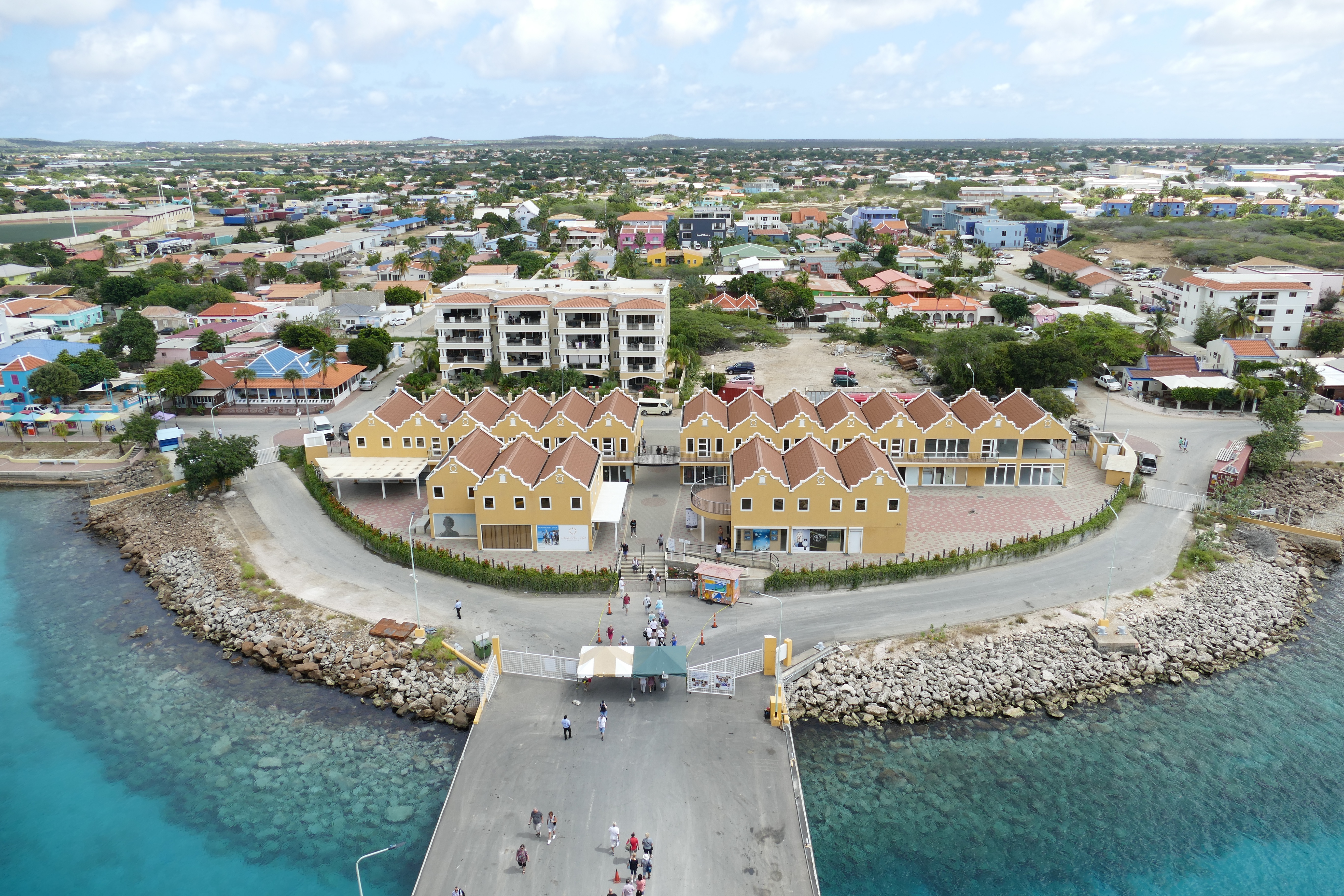
About Willemstad
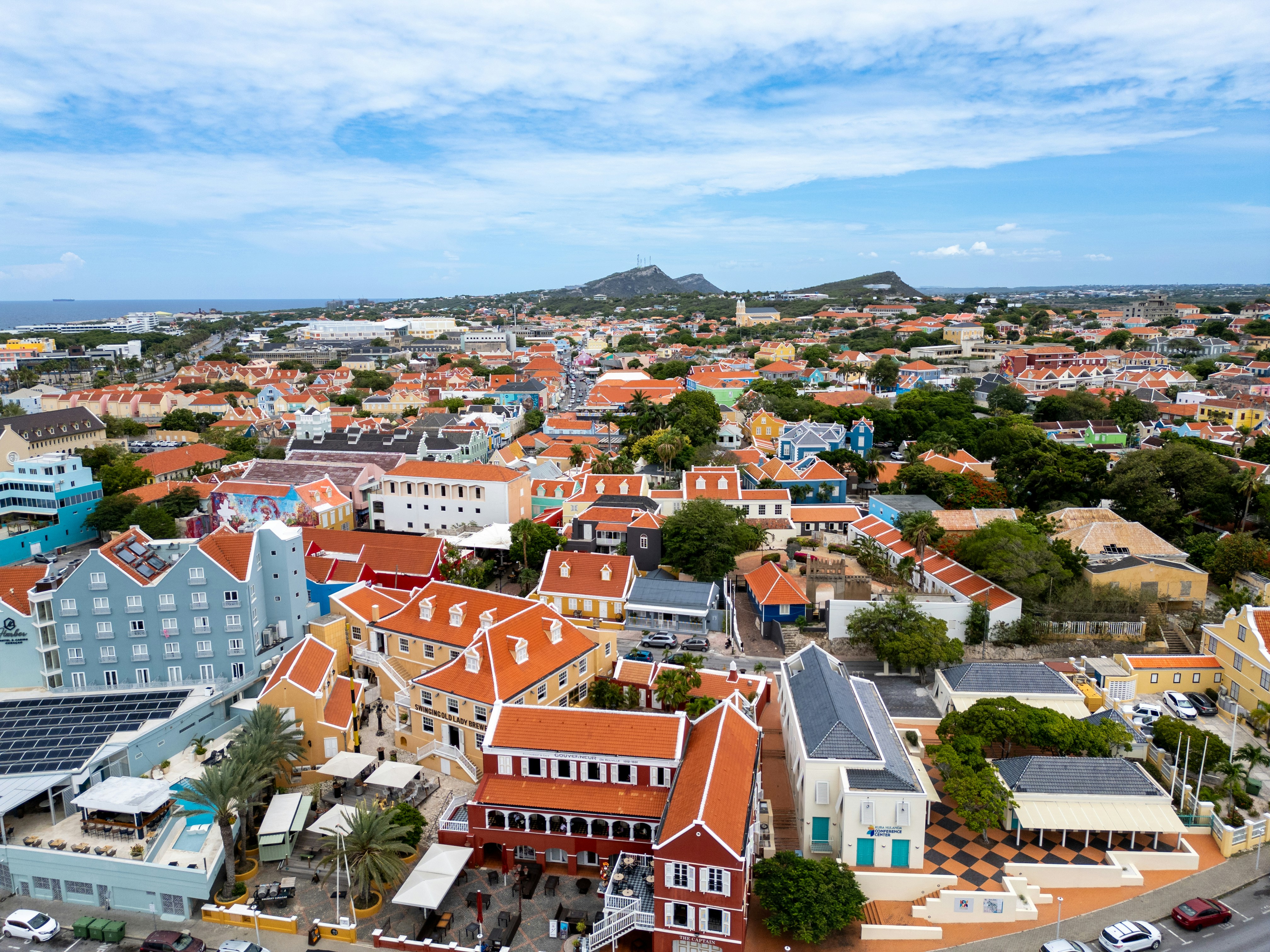
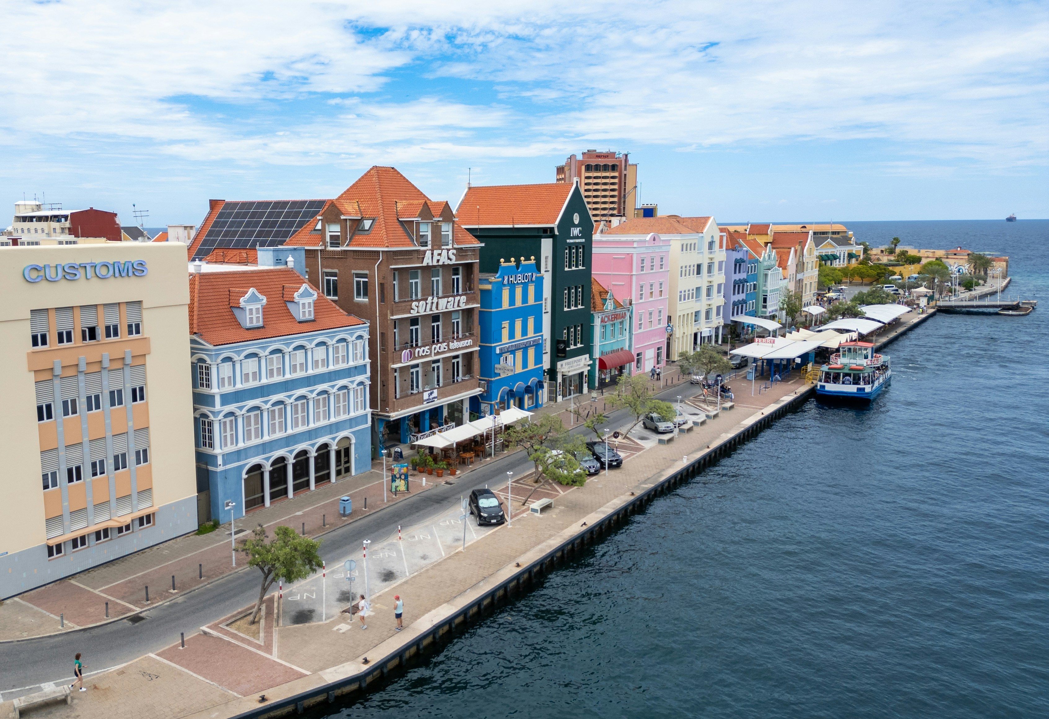
Dutch settlers came here in the 1630s, about the same time they sailed through the Verazzano Narrows to Manhattan, bringing with them original red-tile roofs, first used on the trade ships as ballast and later incorporated into the architecture of Willemstad. Much of the original colonial structures remain, but this historic city is constantly reinventing itself and the government monument foundation is always busy restoring buildings in one urban neighborhood or another. The salty air causes what is called "wall cancer" which causes the ancient abodes to continually crumble over time. The city is cut in two by Santa Anna Bay. On one side is Punda (the point)—crammed with shops, restaurants, monuments, and markets and a new museum retracing its colorful history. And on the other side is Otrobanda (literally meaning the "other side"), with lots of narrow, winding streets and alleyways (called "steekjes" in Dutch), full of private homes notable for their picturesque gables and Dutch-influenced designs. In recent years the ongoing regeneration of Otrobanda has been apparent, marked by a surge in development of new hotels, restaurants, and shops; the rebirth, concentrated near the waterfront, was spearheaded by the creation of the elaborate Kura Hulanda complex.There are three ways to cross the bay: by car over the Juliana Bridge; by foot over the Queen Emma pontoon bridge (locally called "The Swinging Old Lady"); or by free ferry, which runs when the pontoon bridge is swung open for passing ships. All the major hotels outside town offer free shuttle service to town once or twice daily. Shuttles coming from the Otrobanda side leave you at Riffort. From here it's a short walk north to the foot of the pontoon bridge. Shuttles coming from the Punda side leave you near the main entrance to Ft. Amsterdam.
About Oranjestad
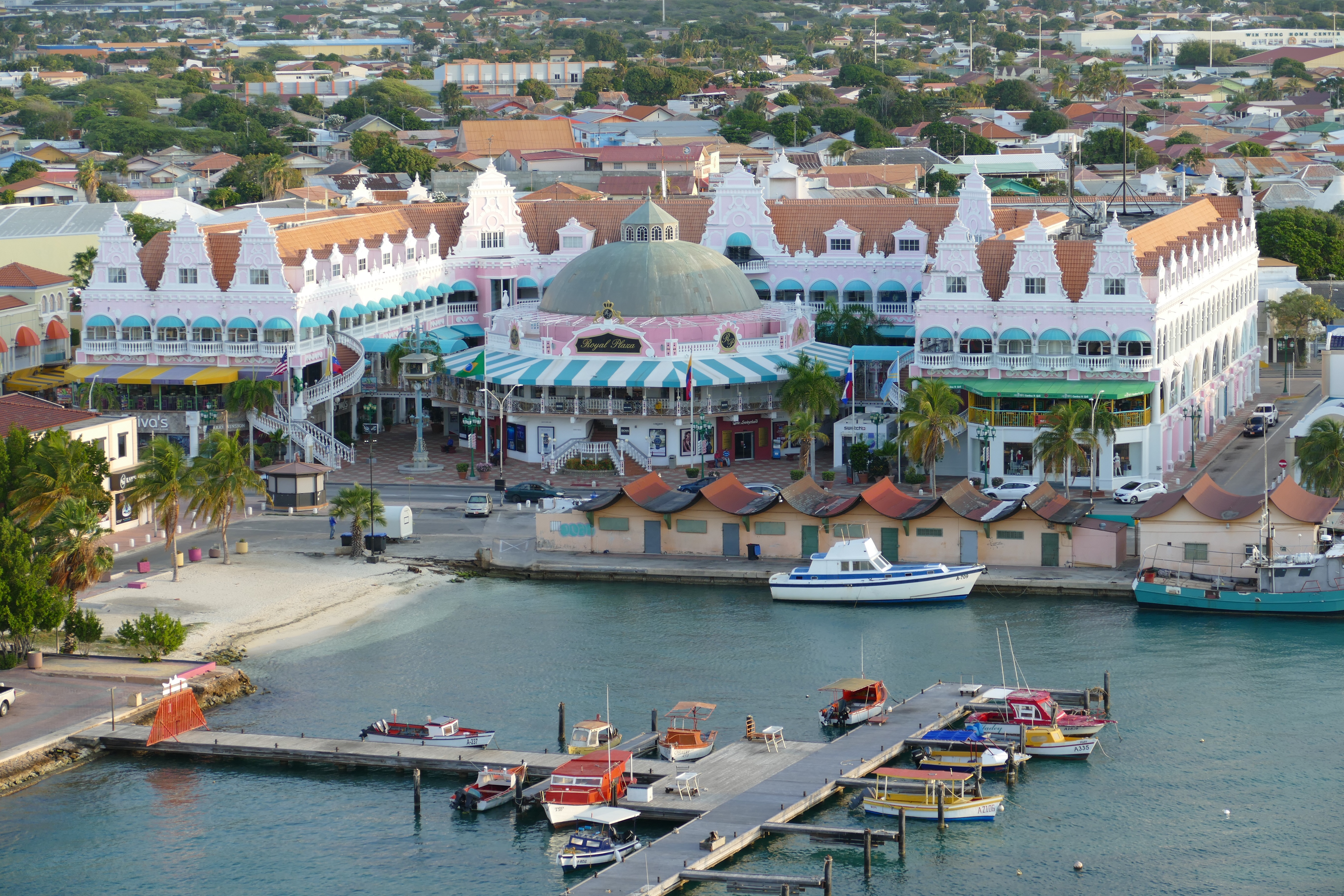
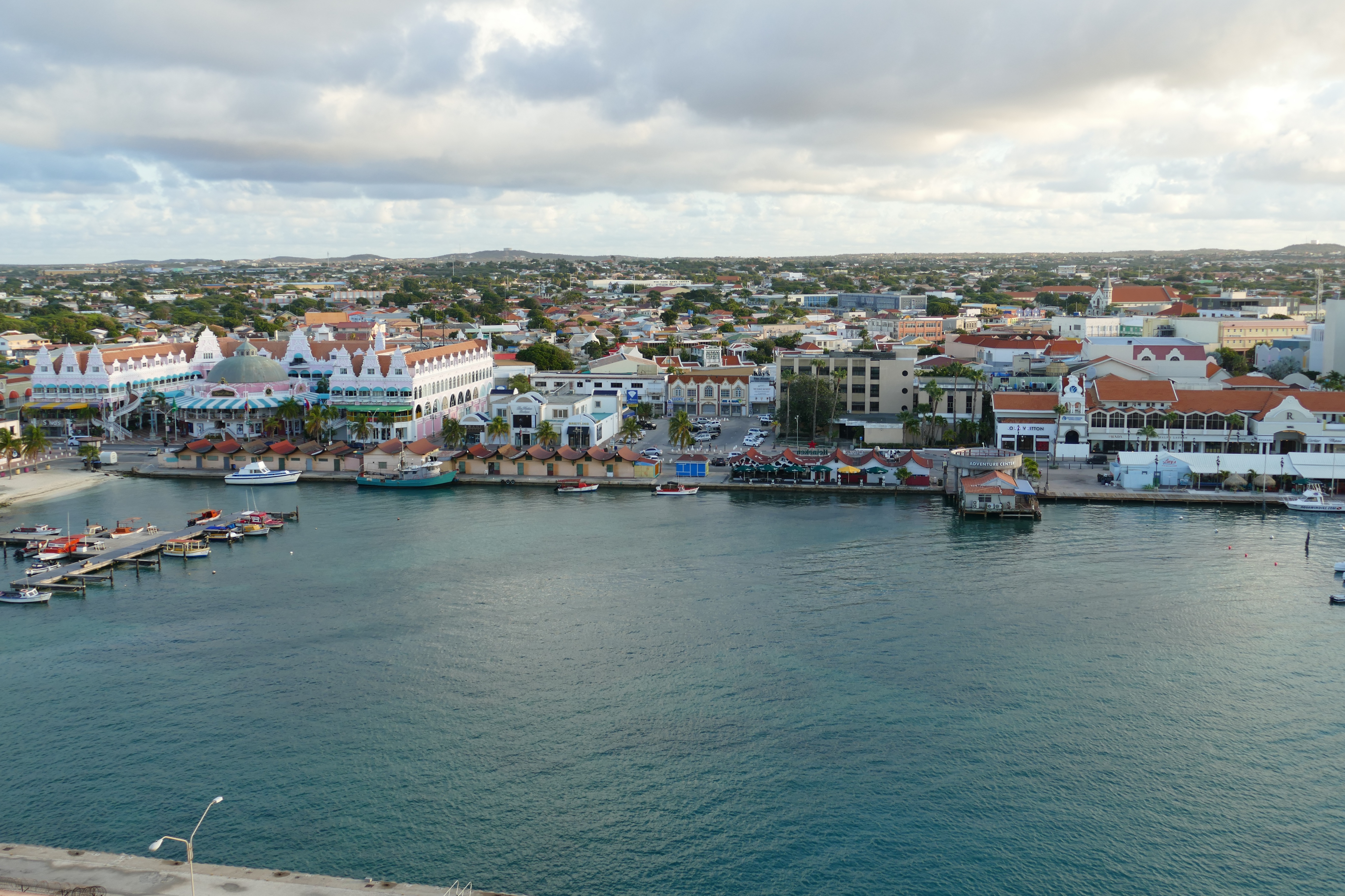
Aruba's capital is easily explored on foot. Its palm-lined central thoroughfare runs between old and new pastel-painted buildings of typical Dutch design (Spanish influence is also evident in some of the architecture). There are a lot of malls with boutiques and shops—the Renaissance mall carries high-end luxury items and designer fashions. A massive renovation in downtown has given Main Street (a.k.a. Caya G. F. Betico Croes) behind the Renaissance Resort a whole new lease on life: boutique malls, shops, and restaurants have opened next to well-loved family-run businesses. The pedestrian-only walkway and resting areas have unclogged the street, and the new eco-trolley is free and a great way to get around. At this writing, Linear Park was well and will showcase local merchants and artists. There will be activities along a boardwalk that will eventually run all the way to the end of Palm Beach, making it the longest of its kind in the Caribbean.
About Santa Marta
About Cartagena
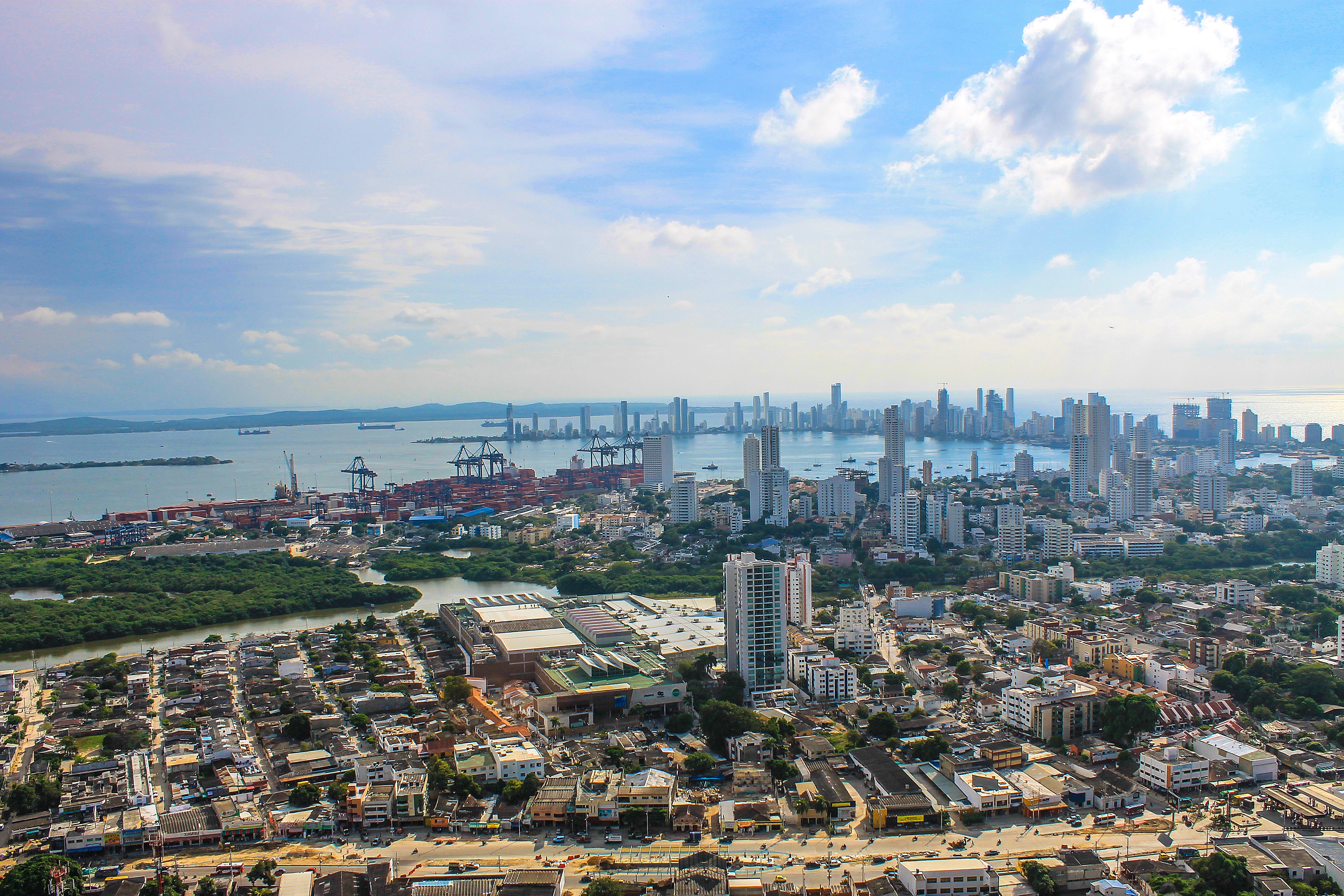
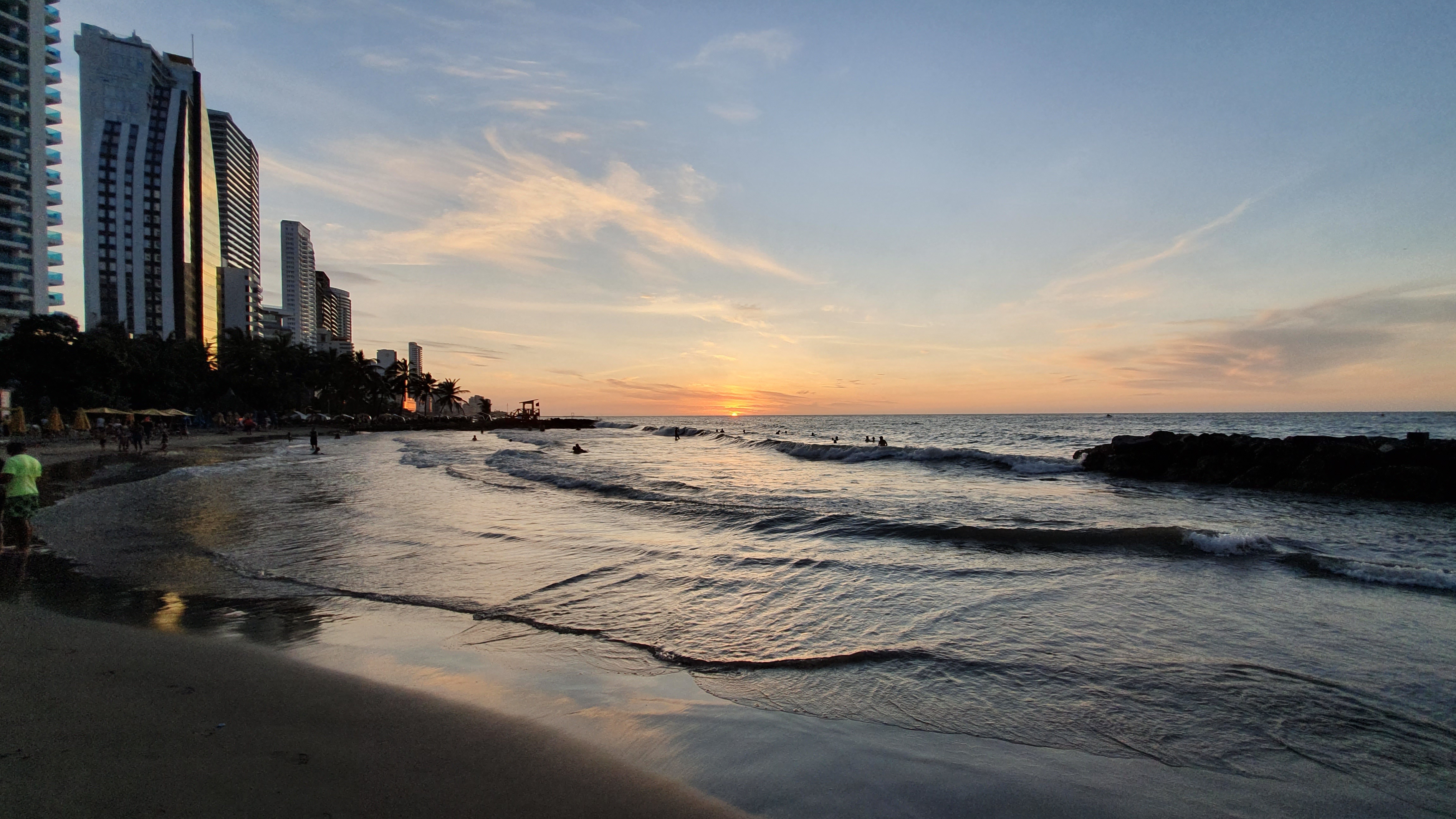
Cartagena's magnificent city walls and fortresses, now a UNESCO World Heritage Site, enclose a well-restored historic center (the Cuidad Amurallada, or walled city) with plazas, churches, museums, and shops that have made it a lively coastal vacation spot for South Americans and others. New hotels and restaurants make the walled city a desirable place to stay, and the formerly down-at-the-heels Getsemaní neighborhood attracts those seeking a bohemian buzz. The historic center is a small section of Cartagena; many hotels are in the Bocagrande district, an elongated peninsula where high-rise hotels overlook a long, gray-sand beach.When it was founded in 1533 by Spanish conquistador Pedro de Heredia, Cartagena was the only port on the South American mainland. Gold and silver looted from indigenous peoples passed through here en route to Spain and attracted pirates, including Sir Francis Drake, who in 1586 torched 200 buildings. Cartagena's walls protected the city's riches as well as the New World's most important African slave market.
About Bocas del Toro
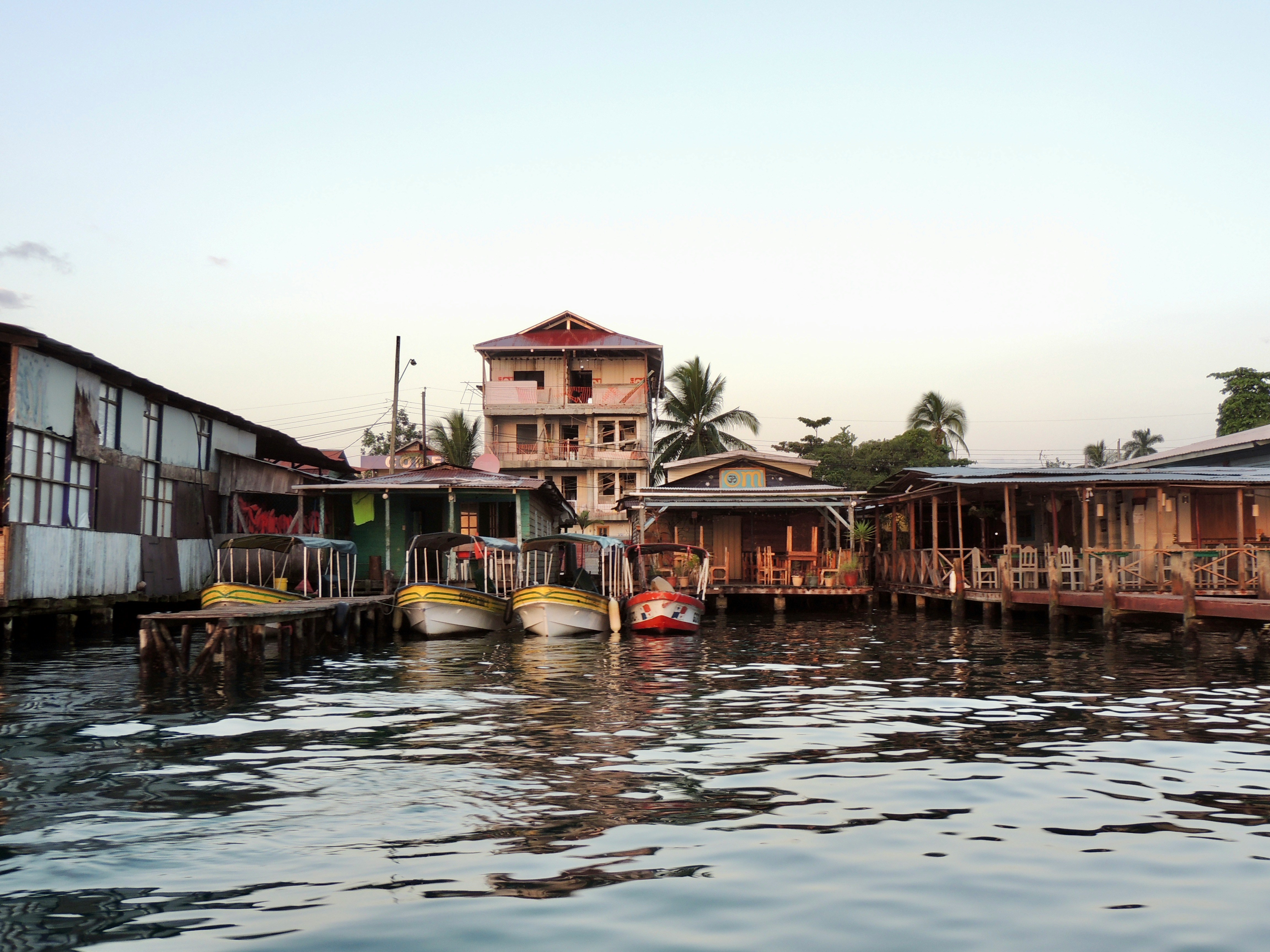
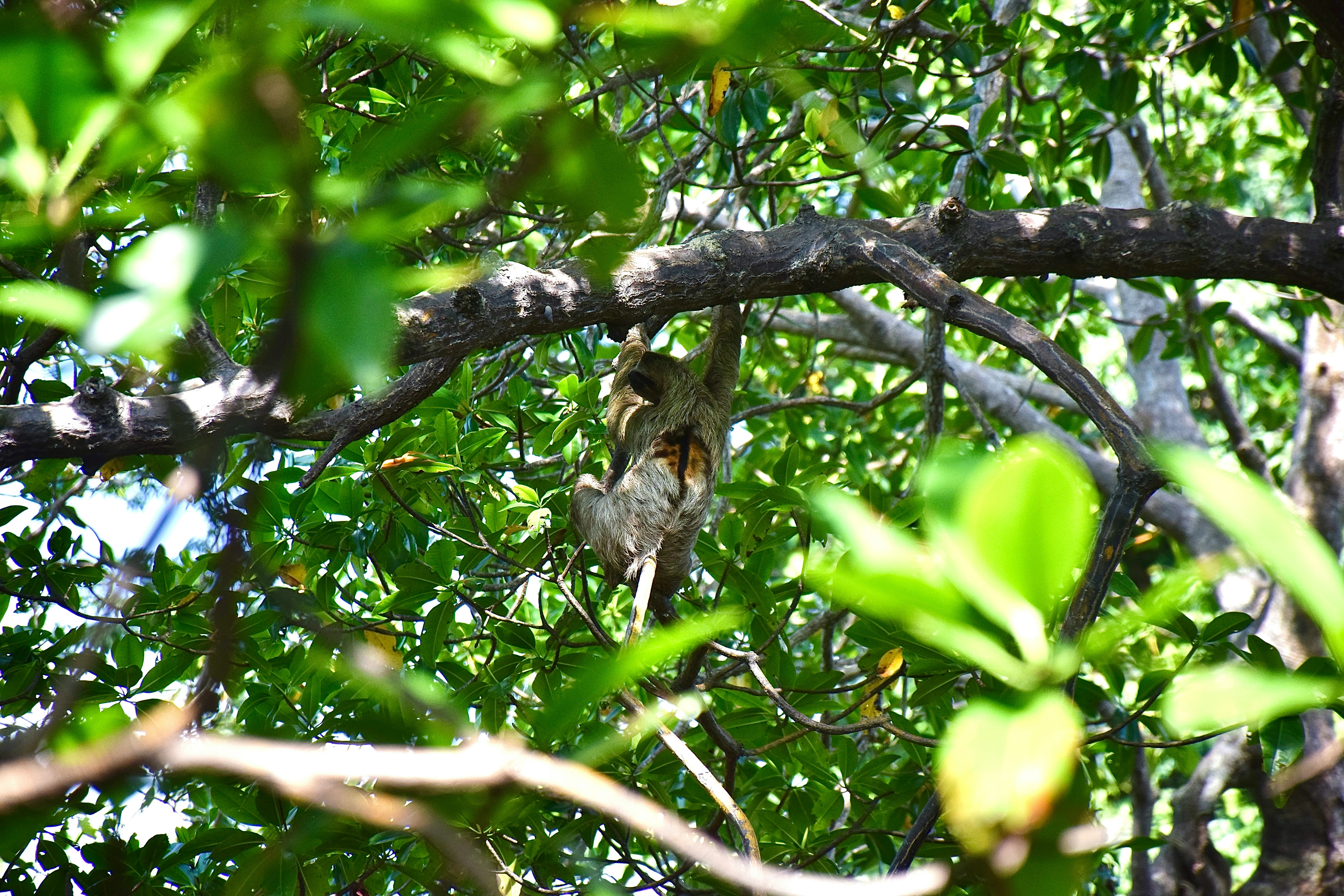
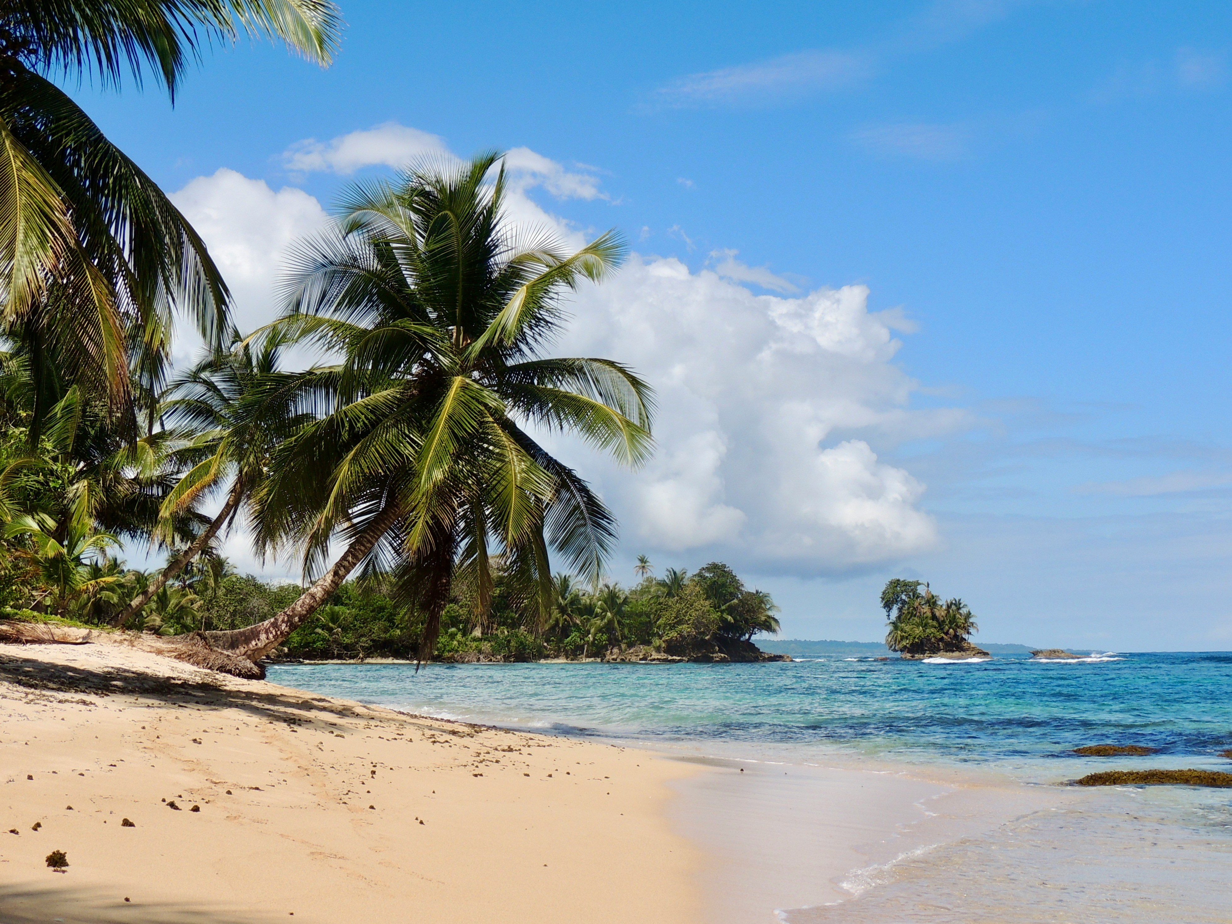
Translated as Mouths of the Bull, Bocas del Toro is both a province and an archipelago in the northwest Caribbean Sea in Panama. The archipelago contains 10 larger islands (including the main Isla Colon, where the town of Bocas del Toro is situated), 50 cays and 200 tiny islets. The region contains Isla Bastimentos National Marine Park, Panama’s first national marine park that covers over 32,000 acres and protects forests, mangroves, monkeys, sloths, caiman, crocodile and 28 species of amphibians and reptiles. The park also contains Playa Larga, an important nesting site for sea turtles. With all there is to see in this region, visitors should also pause to enjoy the pristine white beaches lined with palm trees that lie all along the surrounding clear waters of the Chiriqui Lagoon
About Colón
The provincial capital of Colón, beside the canal's Atlantic entrance, is named for the Spanish-language surname of Christopher Columbus, though the Americans called it Aspinwall in the 19th century.. The city was founded in 1850 by Americans working on the Panama railroad and named Aspinwall for one of the railway engineers. Following completion in 1855, Colon gained in importance, which was furthered by the plans for an isthmian canal. During the time of the French canal attempt, a fire in 1885 burned the city nearly to the ground and left thousands of people homeless. Colon was rebuilt in the architectural style then popular in France. Buildings from that era plus the ones constructed by Americans between 1904 and 1914 are still in use today, although the majority is on the verge of collapse. In addition to its importance as a port, Colon boasts the world’s second largest duty-free zone, known as Zona Libre, which is contained in a huge fortress like, walled-off area with giant international stores. However, most of the merchandise is sold in bulk to commercial businesses throughout the country.

About Bocas del Toro
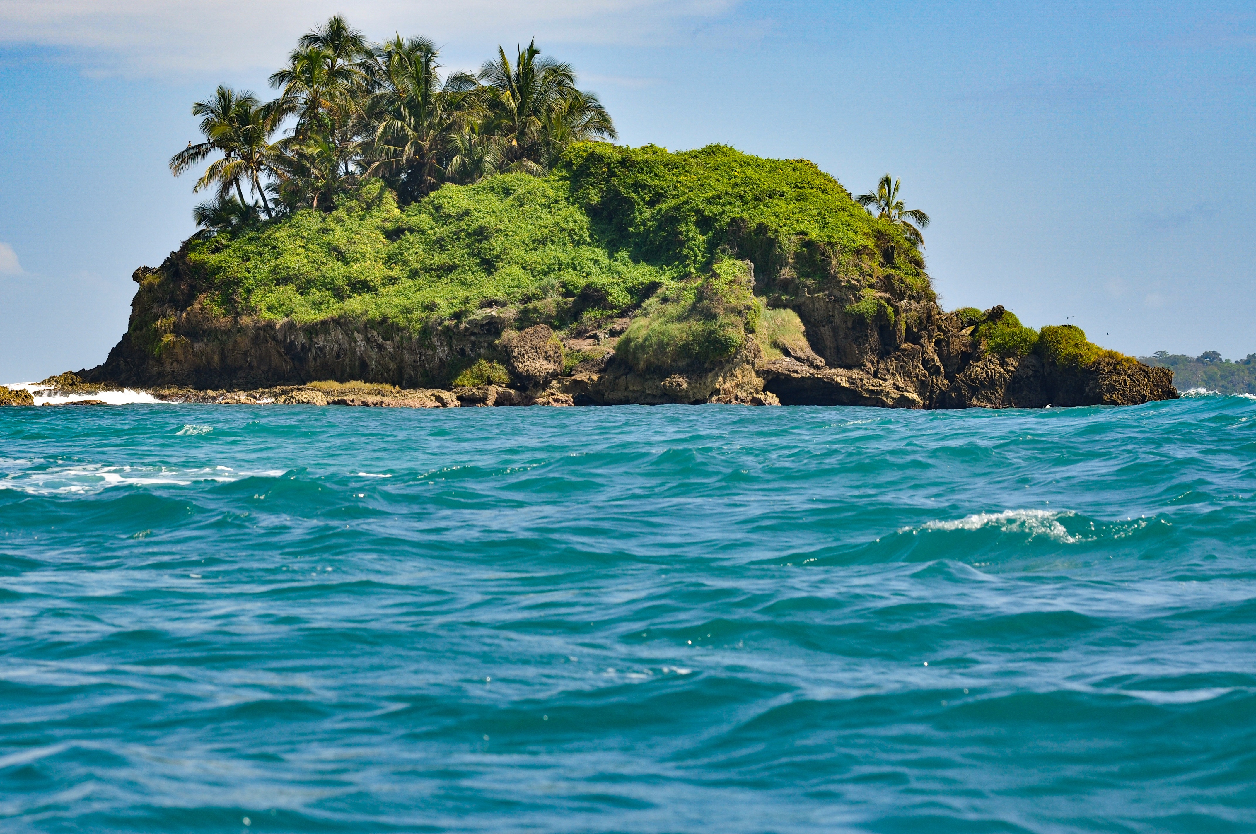
Translated as Mouths of the Bull, Bocas del Toro is both a province and an archipelago in the northwest Caribbean Sea in Panama. The archipelago contains 10 larger islands (including the main Isla Colon, where the town of Bocas del Toro is situated), 50 cays and 200 tiny islets. The region contains Isla Bastimentos National Marine Park, Panama’s first national marine park that covers over 32,000 acres and protects forests, mangroves, monkeys, sloths, caiman, crocodile and 28 species of amphibians and reptiles. The park also contains Playa Larga, an important nesting site for sea turtles. With all there is to see in this region, visitors should also pause to enjoy the pristine white beaches lined with palm trees that lie all along the surrounding clear waters of the Chiriqui Lagoon


About San Andrés Island
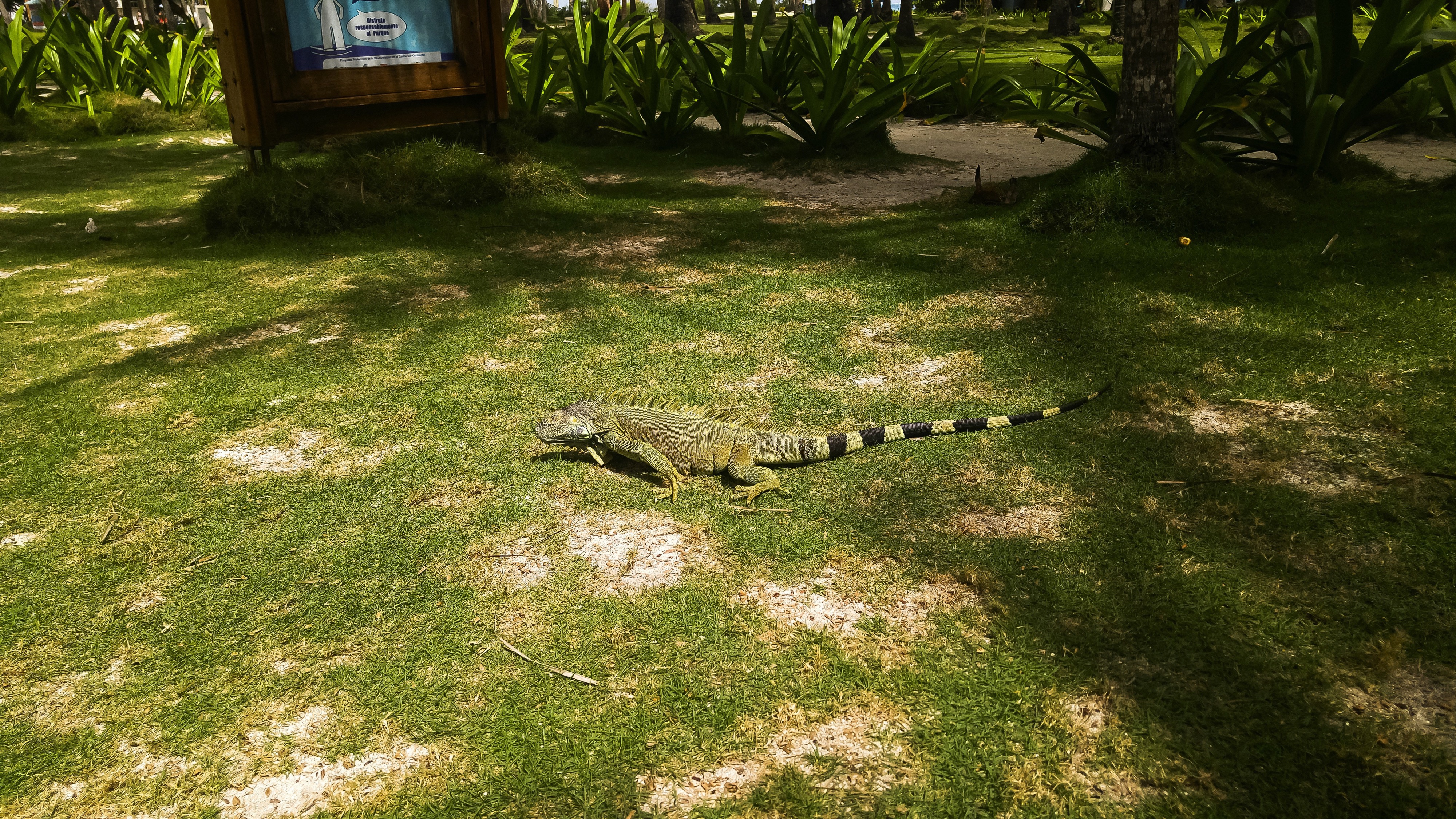
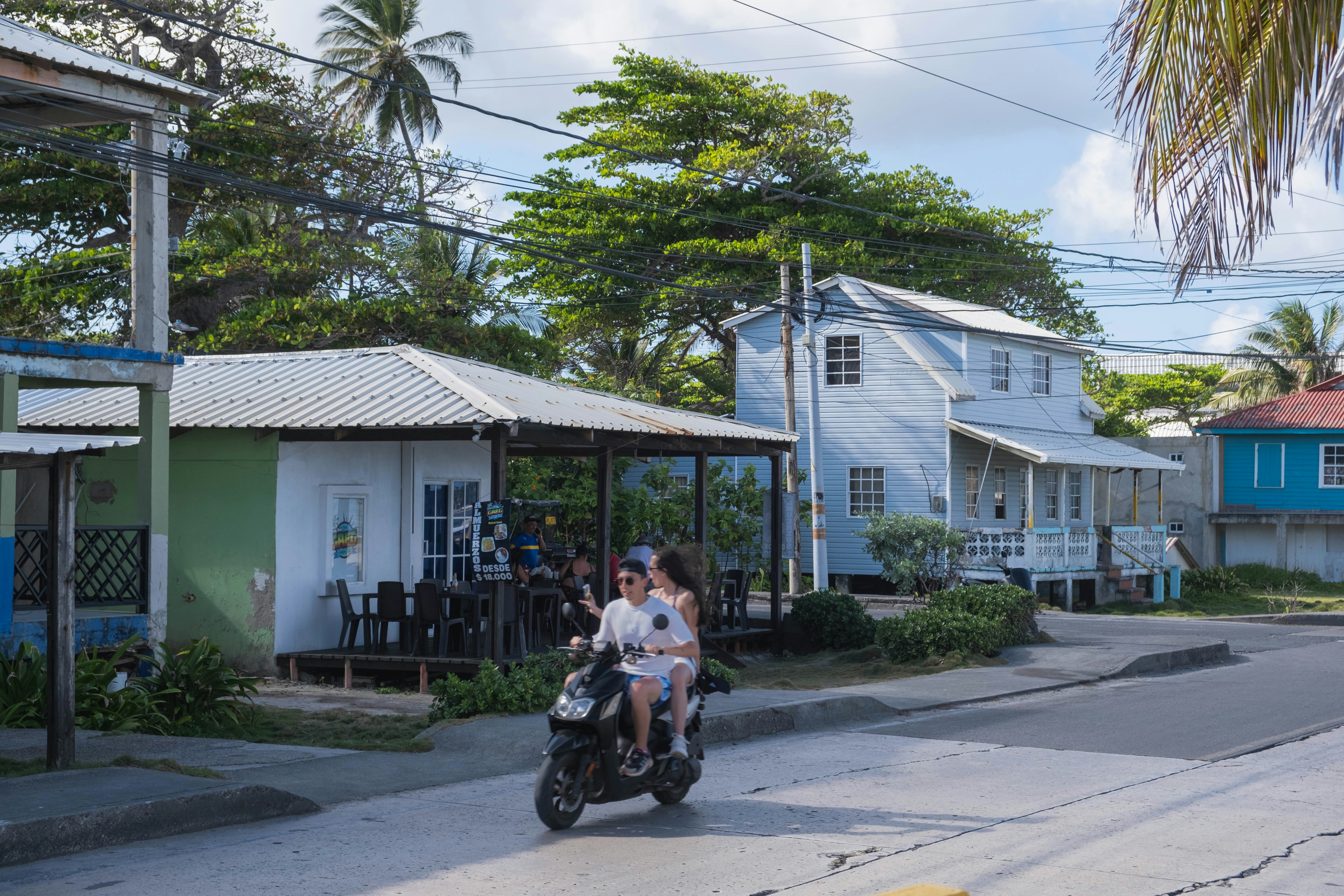
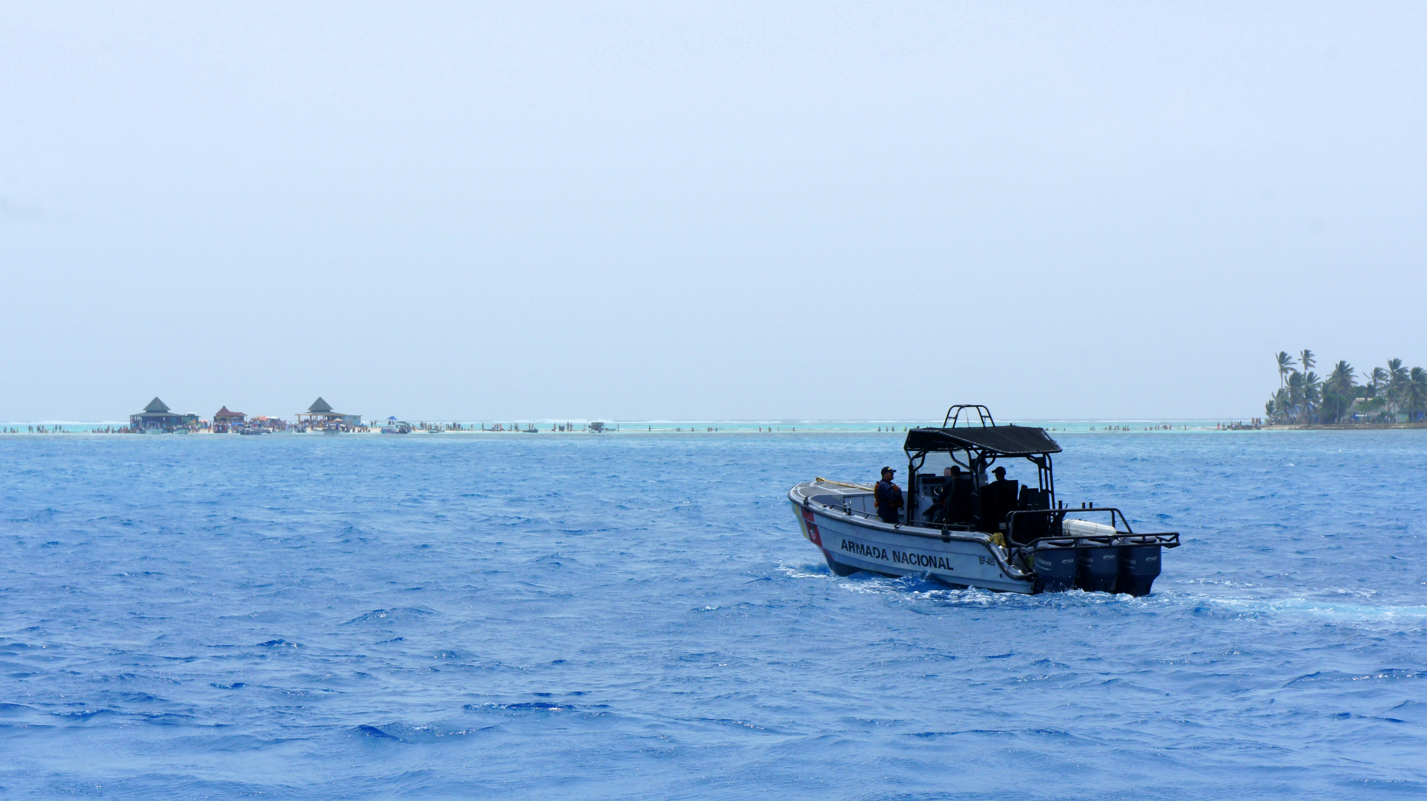
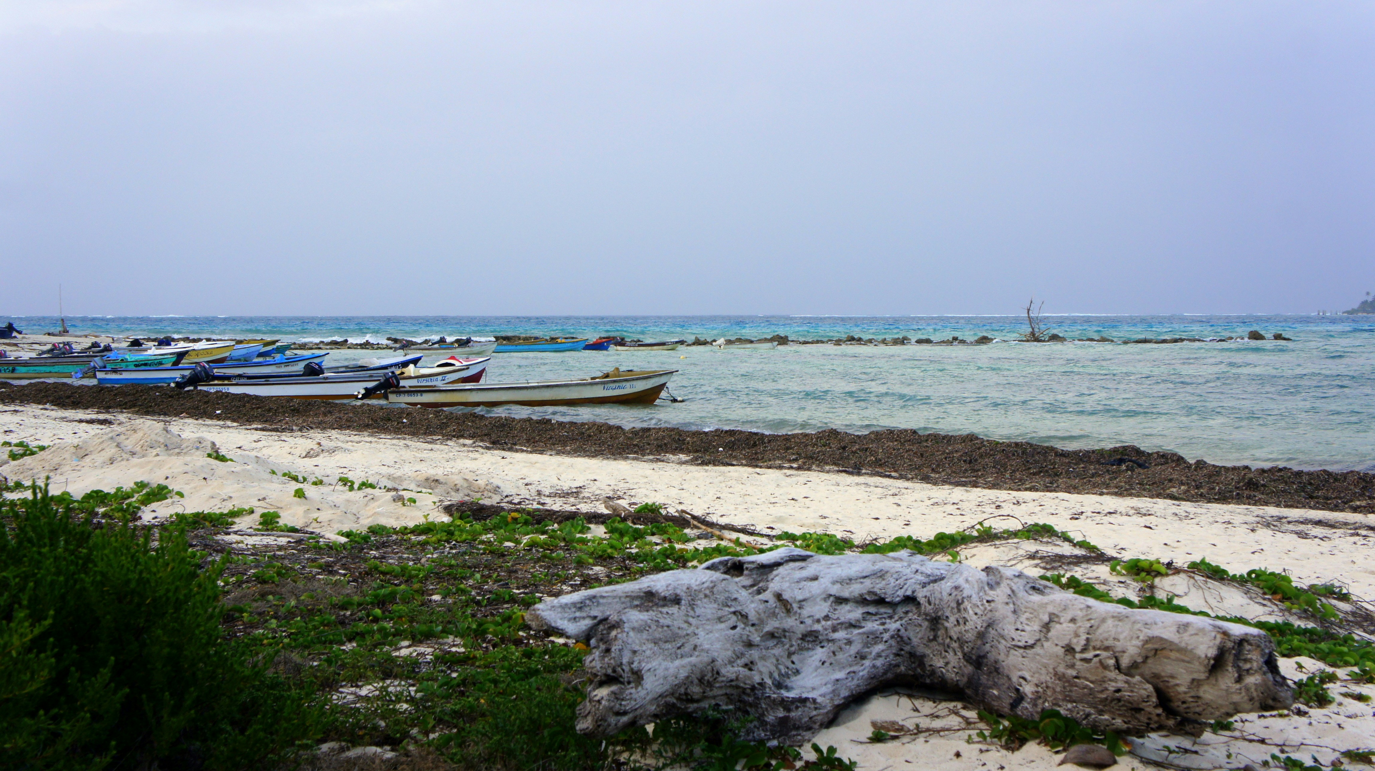
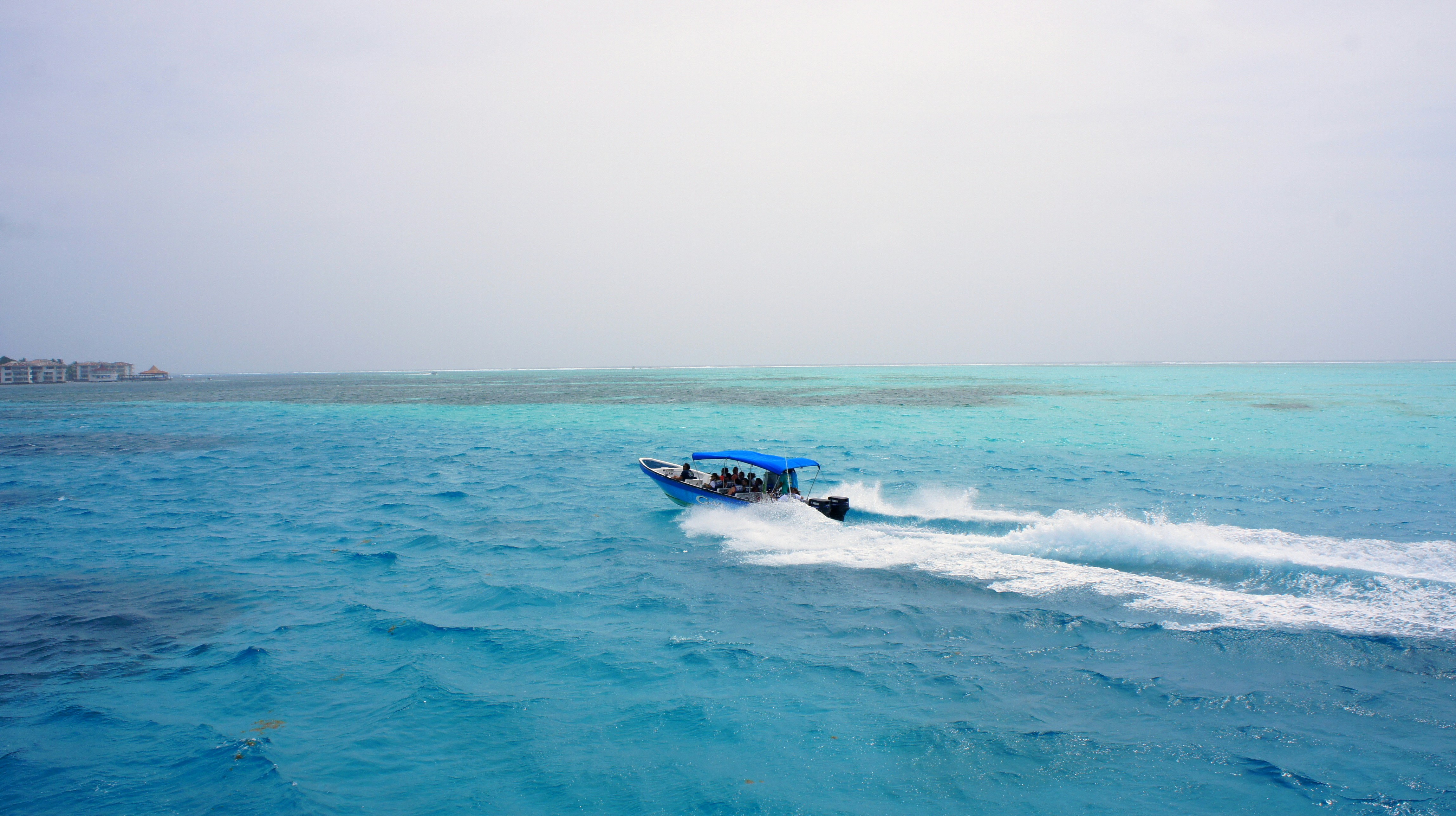
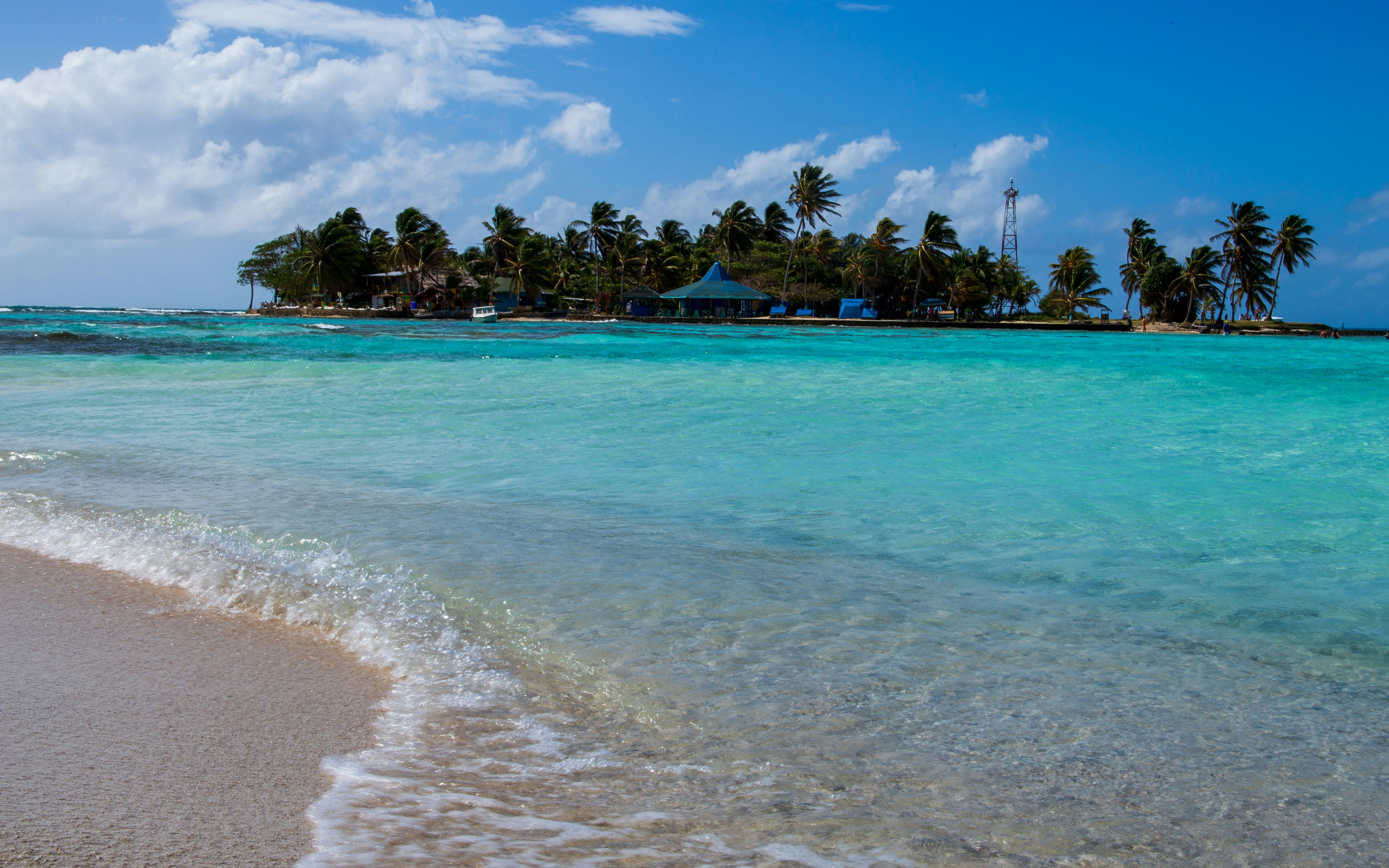
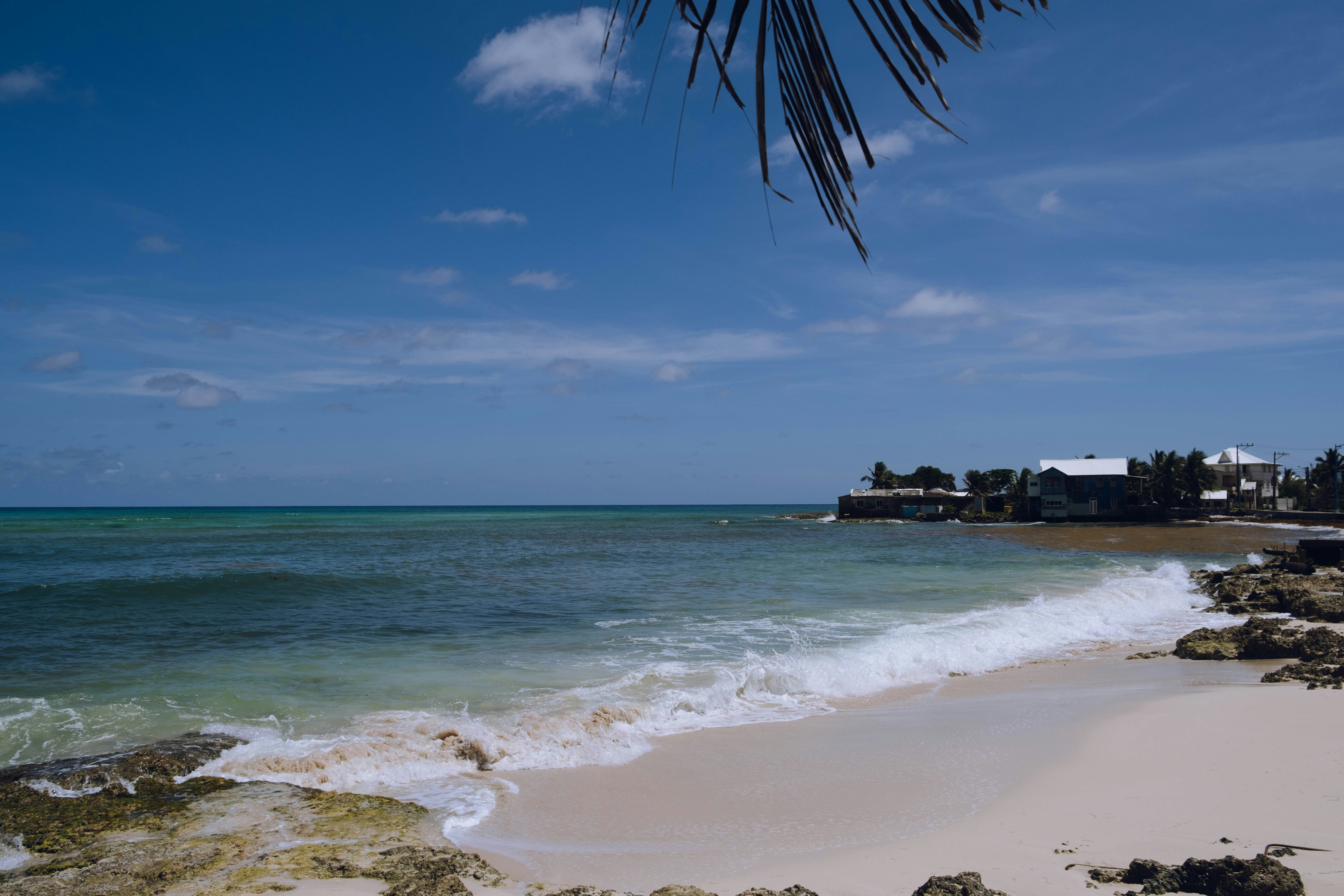
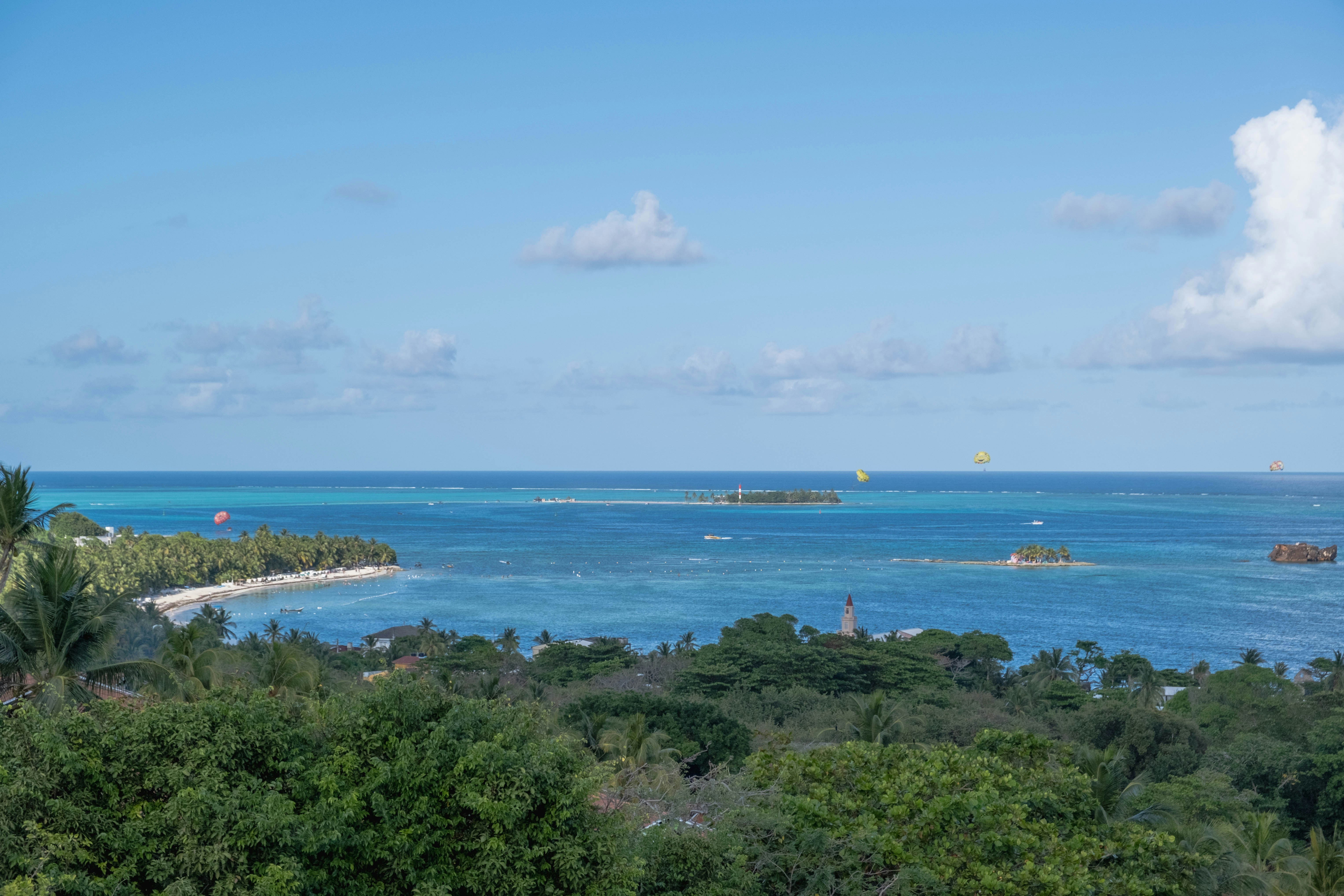
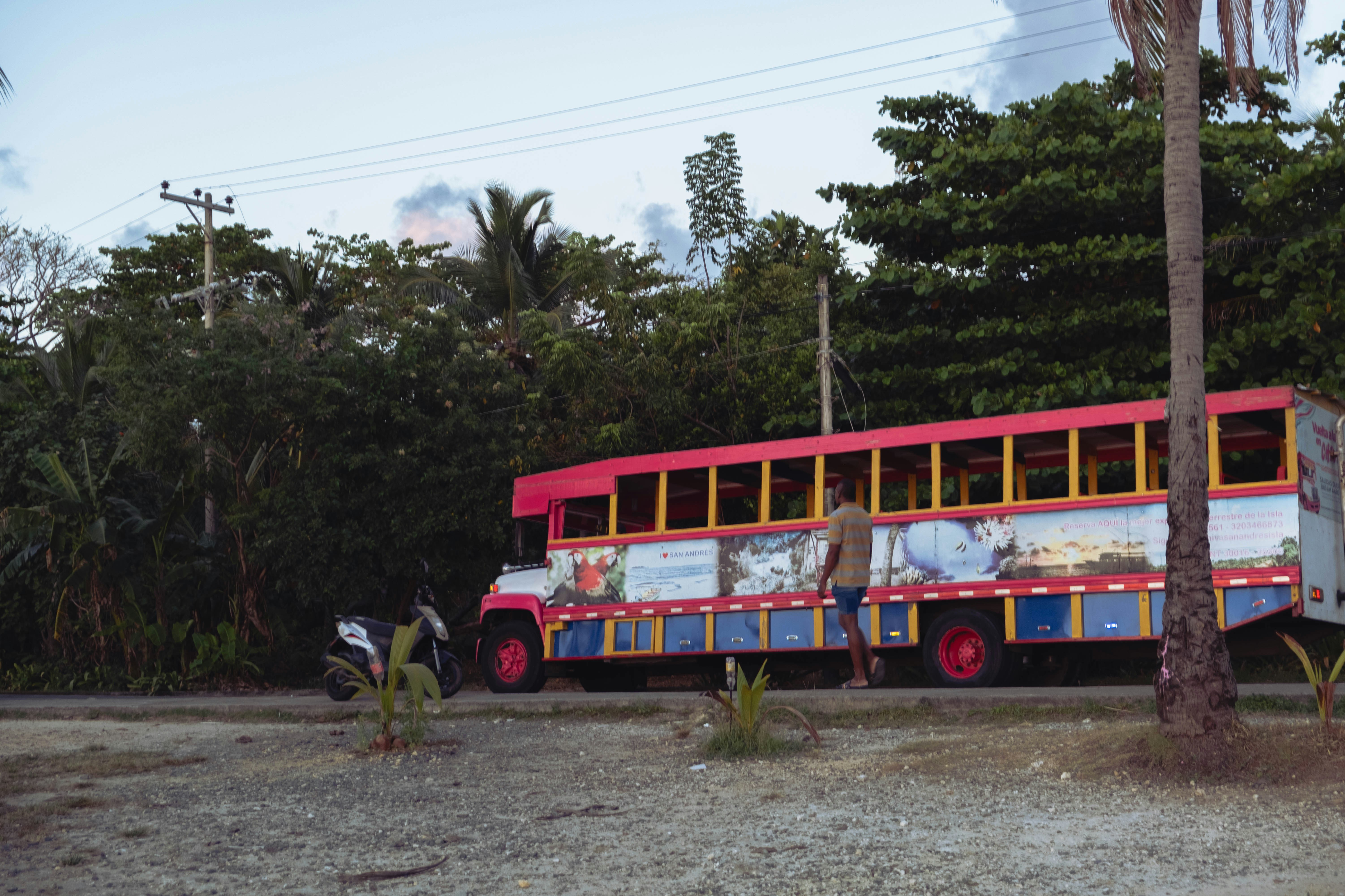
The San Andres and Providencia archipelago comprises Colombia's Caribbean islands, lying some 290 miles north of the South American coast. Palm-dotted San Andres is only eight miles long and two miles wide. It is noted for beautiful sand beaches, crystal-clear waters and good diving sites. At one time the island belonged to Britain and, according to local lore; it was a favorite hideout for the legendary pirate Henry Morgan. In 1822, San Andres came under the control of Colombia. In recent years the original population has greatly increased due to unrestricted immigration from the mainland. There are also Chinese and Middle Eastern communities. The official language is Spanish but English is widely spoken, especially in shops and hotels. The island is best seen via the scenic ring road that offers views of coves, beaches and palm groves. In the interior stands a Baptist church dating from 1847, and the attraction at the southern end is the Hoyo Soplador, a geyser-like hole where the sea shoots jets of water intermittently into the air during the right wind and sea conditions. On the island's northern tip lies the main town and commercial center, known by the same name as the island. San Andres Town is surrounded by beaches, with small hotels lining the waterfront. Being a duty-free zone, the town often gets crowded with Colombian shoppers who come from the mainland looking for foreign-made goods at duty-free prices. To reach the town from the tender landing requires an approximate 20-minute taxi ride. However, it is not uncommon for drivers to choose the longer way around the island for a higher fare. From the downtown waterfront, boats offer trips to Johnny Cay, a tiny island just a stone's throw across from town and known for its powdery white sand beach and rustic, laid-back atmosphere. San Andres Island’s main attraction is its location off the beaten track, as well as pretty scenery, sandy beaches and clear, warm waters. Tourism infrastructure is limited. Pier Information The ship is scheduled to anchor off El Cove. Guests will be taken ashore via the ship's tenders. The landing site is about a 20-minute drive from San Andres Town. There are plenty of taxi drivers offering their services. Please be sure to agree on the fare before setting out (the one-way fare should be around $30). Keep in mind that not all taxi drivers speak English. Shuttle buses are not available. Shopping Most shops in town carry duty-free imports. At New Point Plaza you will find shops selling local souvenir items and jewelry including emeralds. Some stores close between 12:30 p.m. and 3:00 p.m. The local currency is the peso. Many shops will accept U.S. dollars and major credit cards. Cuisine Outdoor cafés are available in town if you fancy a cold drink or a quick snack. Other Sites All of the island’s sights are covered on the San Andres Island Drive. Beaches Swimmers, snorkelers and sun seekers will find beach facilities right in town. One of the hotels also features water sport rentals. Johnny Cay can be reached via local boats departing from the waterfront. However, be aware that winds are fairly strong between November and January, which may cause delays for your return boat ride. There are no tourist facilities on Johnny Cay. Private cars/vans are not available in this port, except for taxis.
About Roatán Island
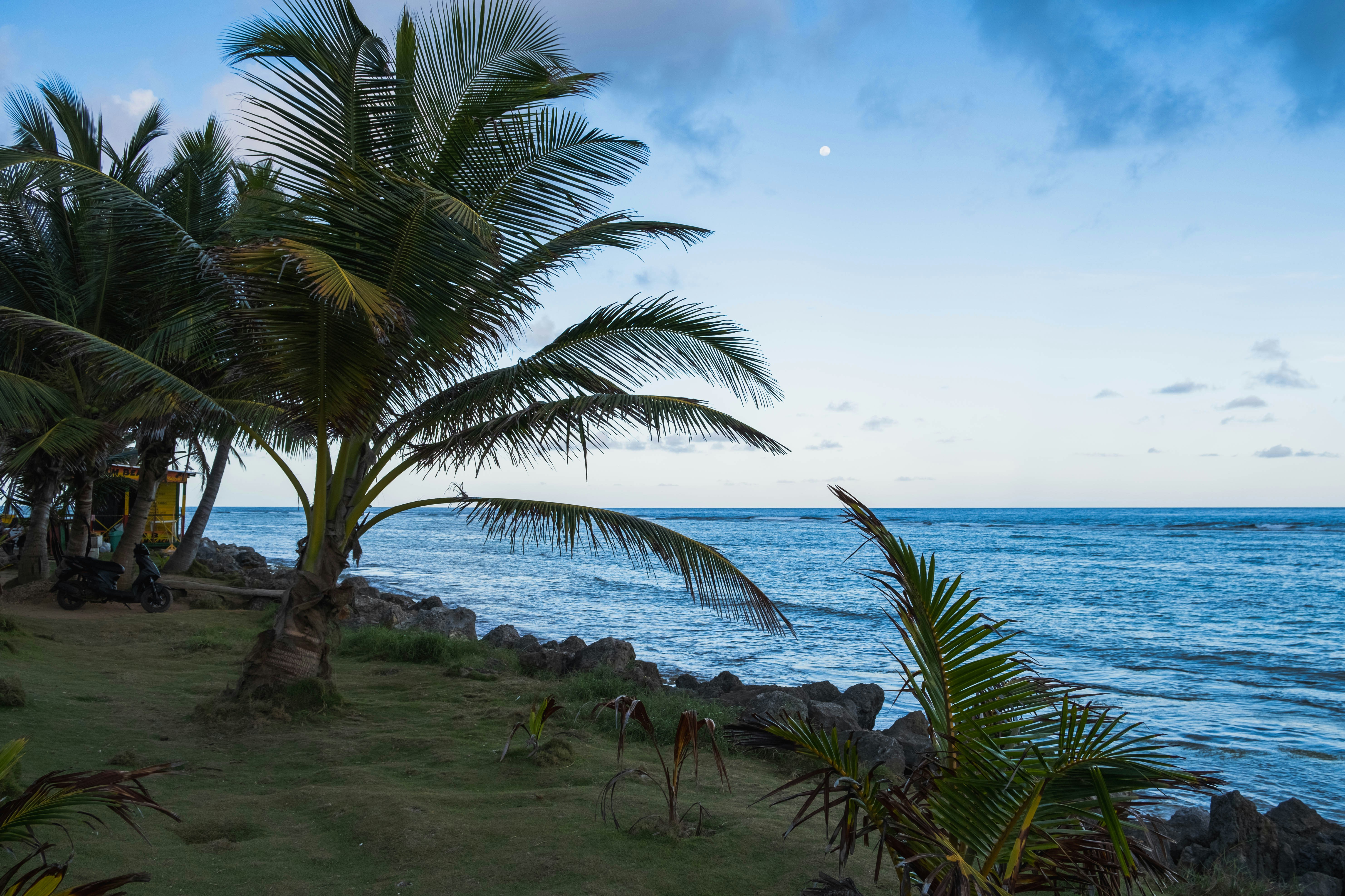
Experience true Caribbean island bliss, during your time on the immaculate paradise of Roatan, which is the largest of the Bay Islands. This slim island is framed by glorious powdery white beaches, and rich ocean beds carpeted with diverse coral reefs - alive with fish and marine life. Curious dolphins roll through the waves just offshore, while beach dwellers soak up the sun, and enjoy coconut cocktails, beside leaning palm trees. The beaches here are nothing short of dreamy - with wooden piers teetering out over the water, and thatched roofs providing welcome shade, as you dangle your legs towards the water.


About Belize City
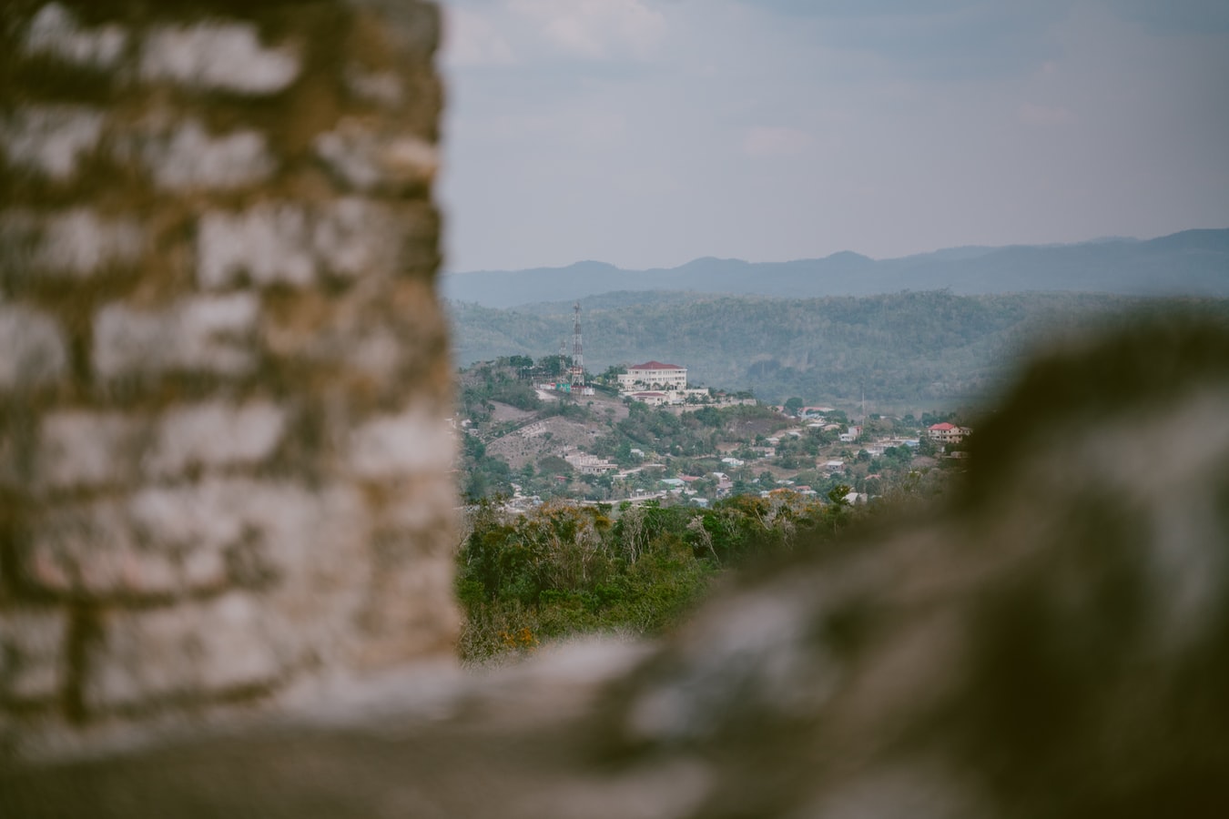
Belize City, a coastal gem, seamlessly blends history and modern vibrancy. Colonial architecture graces lively streets, narrating tales of Mayan roots and cultural richness. A welcoming atmosphere emanates from friendly locals, and diverse festivals celebrate Belize's heritage. The city serves as a gateway to natural wonders, from serene river rides to the renowned Belize Barrier Reef. Pristine beaches like Old Belize Beach invite relaxation. Culinary delights abound, showcasing Belizean flavours. In this enchanting city, every smile, historical landmark, and cultural celebration embodies the warmth and charm that make Belize City an unforgettable destination.
About Costa Maya
Laid-back coast with sandy beaches & waterfront eateries, plus diving around offshore coral reefs.

About Cozumel
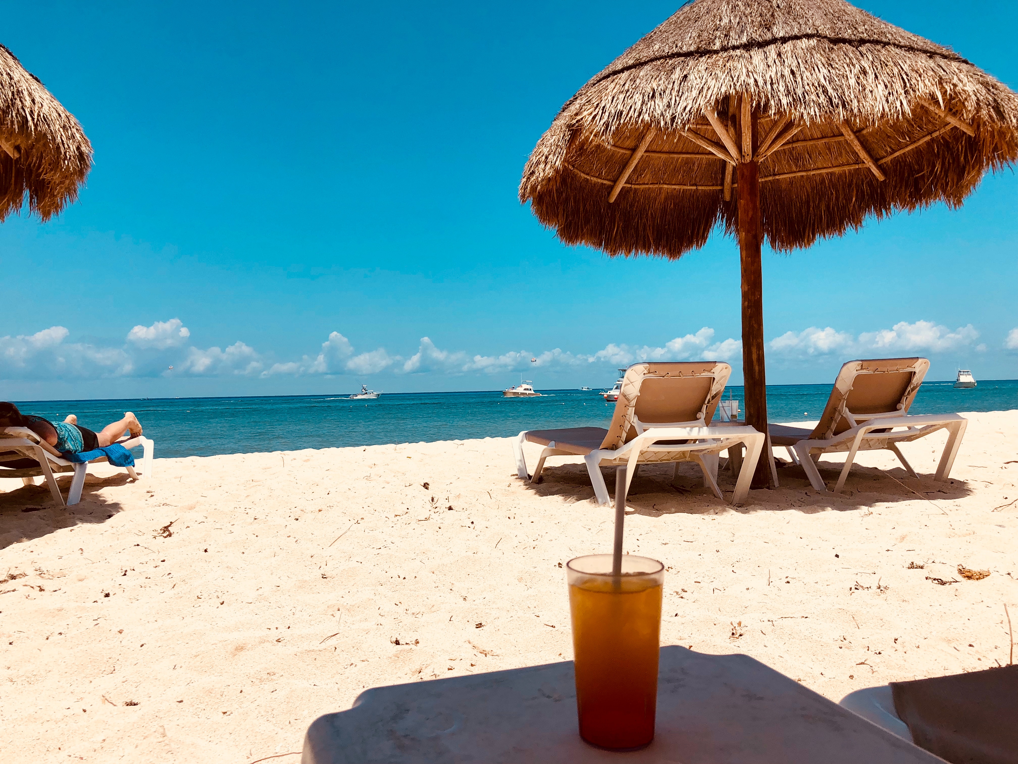
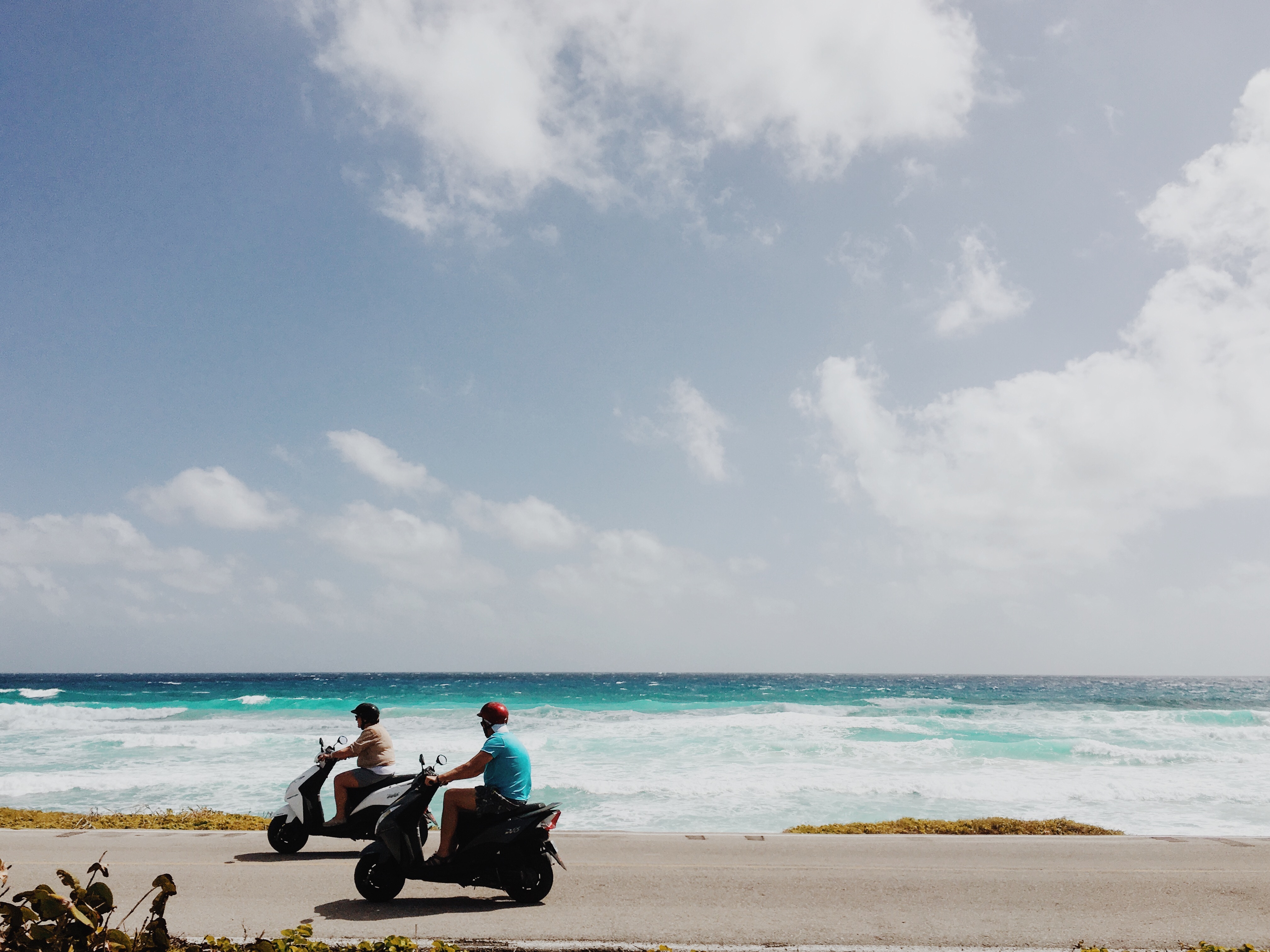
Cozumel, a Caribbean gem off Mexico’s Yucatán Peninsula, is celebrated for its crystal-clear waters, vibrant coral reefs, and rich Mayan history. A haven for divers and snorkelers, the island is home to the Mesoamerican Reef, teeming with colorful marine life. Beyond the sea, explore ancient ruins like San Gervasio, enjoy local charm in San Miguel’s markets, or relax on pristine beaches. Eco-parks like Punta Sur offer lush landscapes and wildlife encounters. Blending natural beauty, cultural heritage, and adventure, Cozumel promises a tropical escape that captivates every traveler.

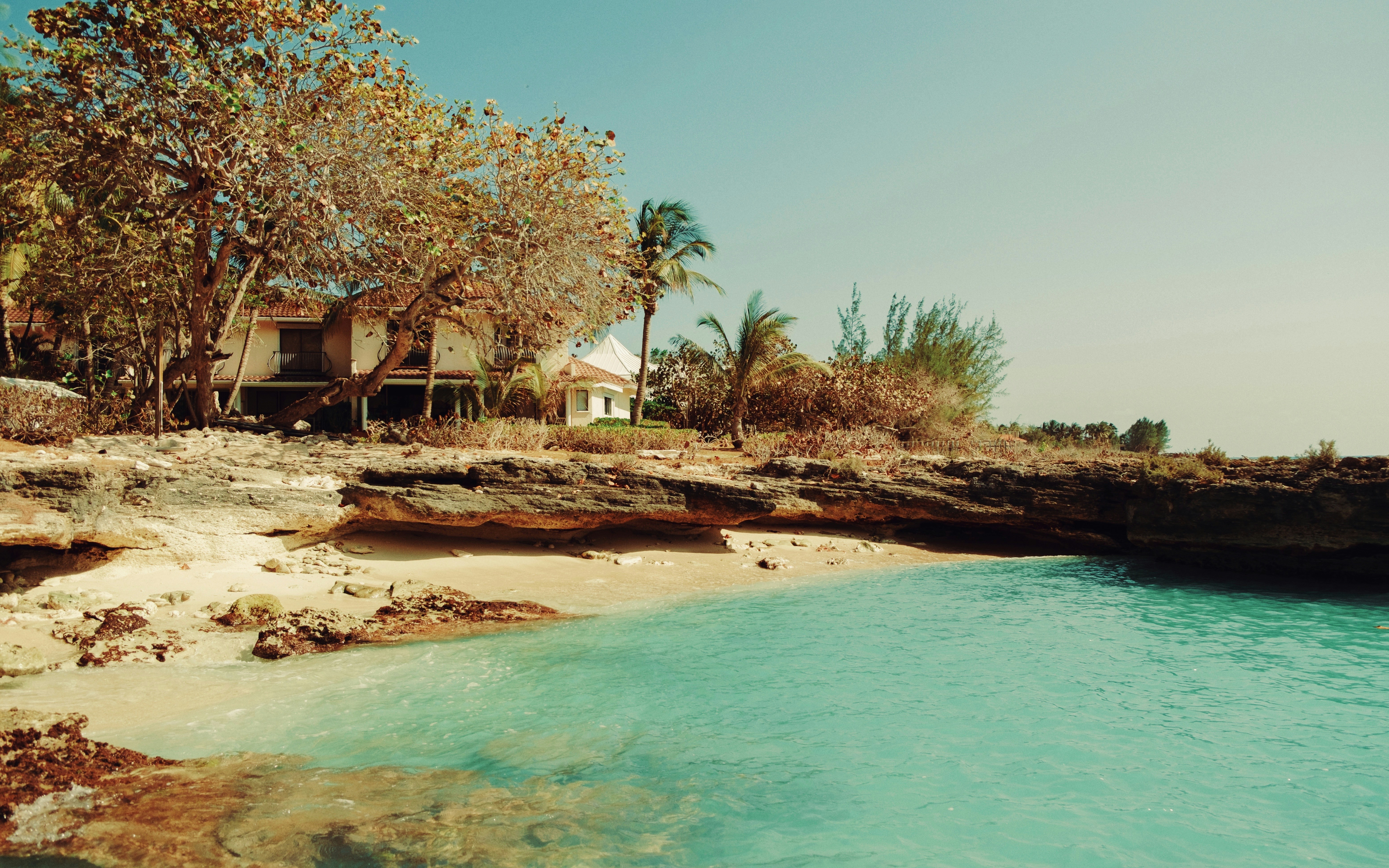
About Grand Cayman
About Cayman Brac
First spotted on his fourth and final trans-Atlantic crossing in 1503 and originally named Las Tortugas by Christopher Columbus because of the many turtles he spotted on the island, Cayman Brac rears up out of the water as if surrounded by a fort. Think craggy limestone shores (although archetypal sandy beaches and blue lapping seas are assured on the north of the island), which have kept this Cayman relatively free from mass tourism. Because of her geographical location (145km from Grand Cayman) and her challenging coastal approach, life has remained very laid back here, with local enterprises being stonemasonry and fishing, although some mass tourism is being developed thanks mostly due to its pristine underwater eco-system ensuring divers and snorkellers some very special sights. The Brac, or “Bluff” has however been a magnetic pull to climbers in recent years, with over 100 sport climbs mapped out on the easterly cliff face. Despite its rich historical past the island is assuredly modern. The middle child of the Cayman Islands, Cayman Brac is just 19kms long (although its little sister, Little Cayman is 16km, while Grand Cayman, although still small, is by far the largest at 35 km). Nevertheless, the plethora of hidden caves, nature trails and abundant wildlife both above and below the water make this little gem a paradise for nature lovers.
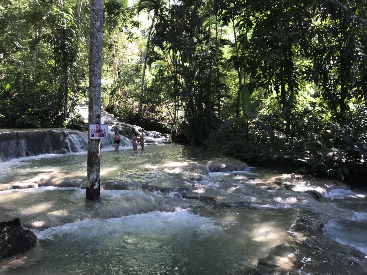
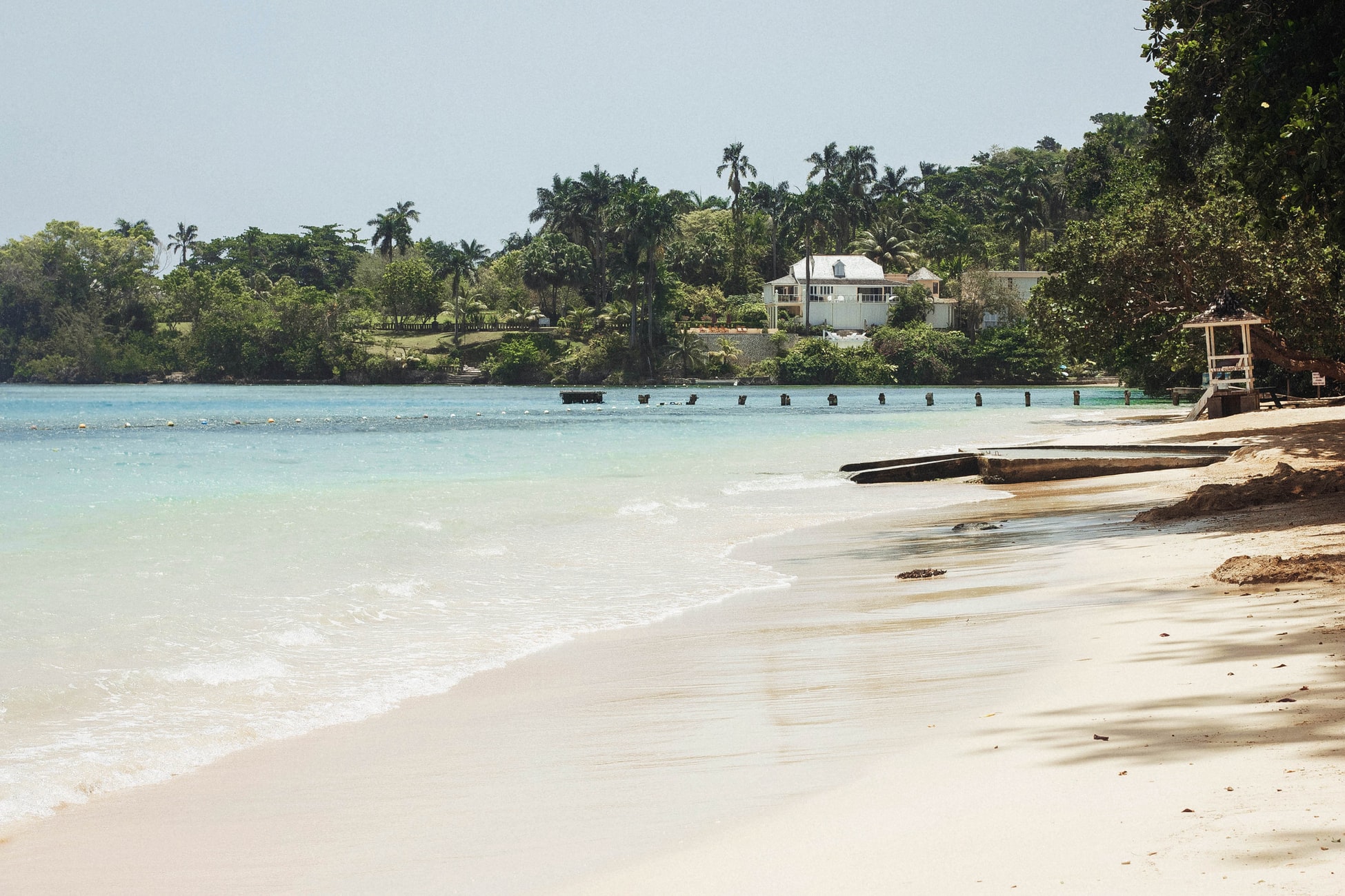
About Ocho Rios
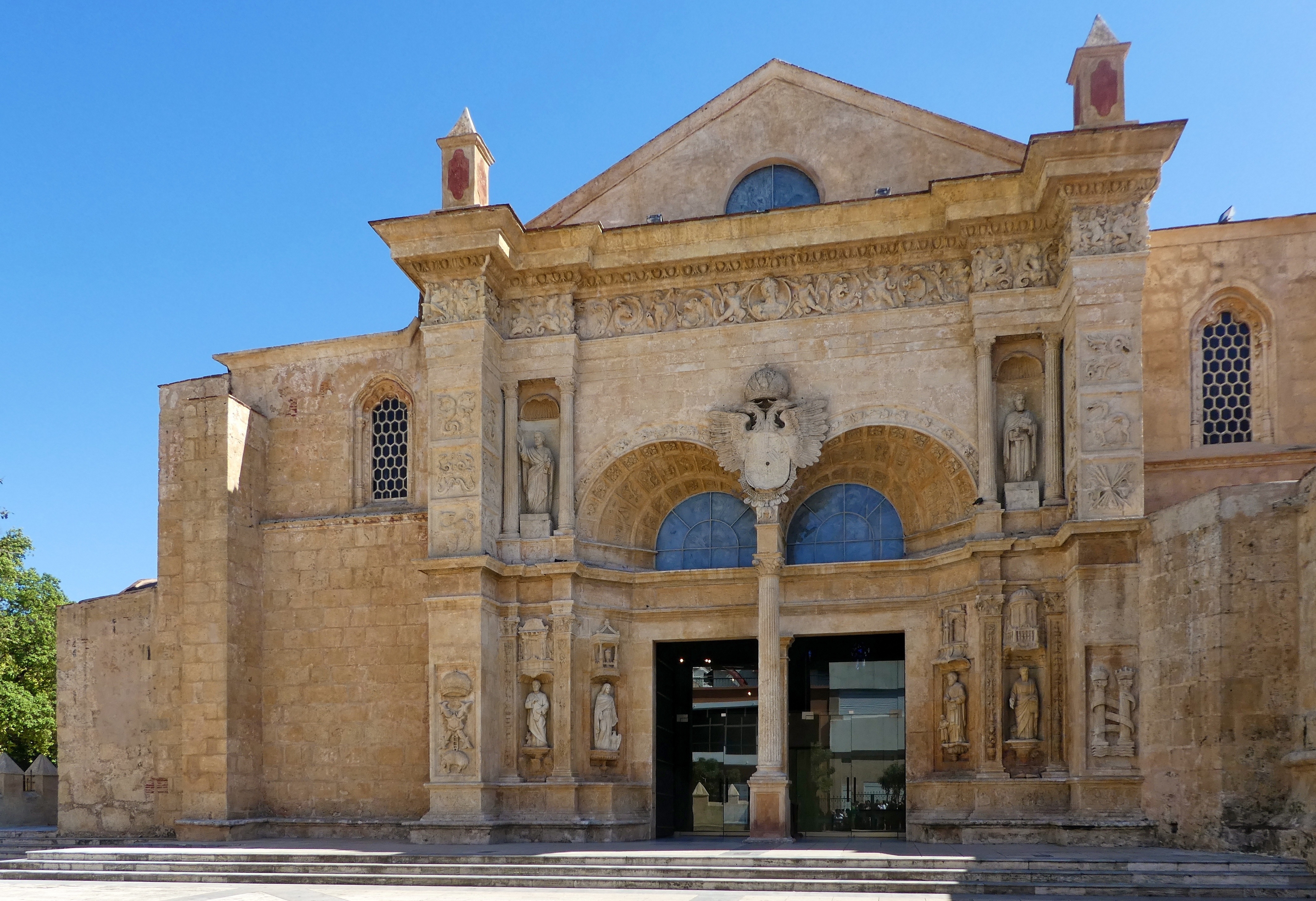
About Santo Domingo
About La Romana
Neither pretty nor quaint, La Romana has a central park, an interesting market, a couple of good restaurants, banks and small businesses, a public beach, and Jumbo, a major supermarket. If you are staying for a week or more you may want to buy a Dominican cell phone at Jumbo. It’s a mere $20 for a basic one, plus minutes. It can save you untold money if you'll be making local calls from your hotel/resort. It is, at least, a real slice of Dominican life. Casa de Campo is just outside La Romana, and other resorts are found in the vicinity of nearby Bayahibe. Although there are now more resorts in the area, this 7,000-acre luxury enclave put the town on the map. Casa de Campo Marina, with its Mediterranean design and impressive yacht club and villa complex, is as fine a marina facility as can be found anywhere; the shops and restaurants at the marina are a big draw for all tourists to the area.
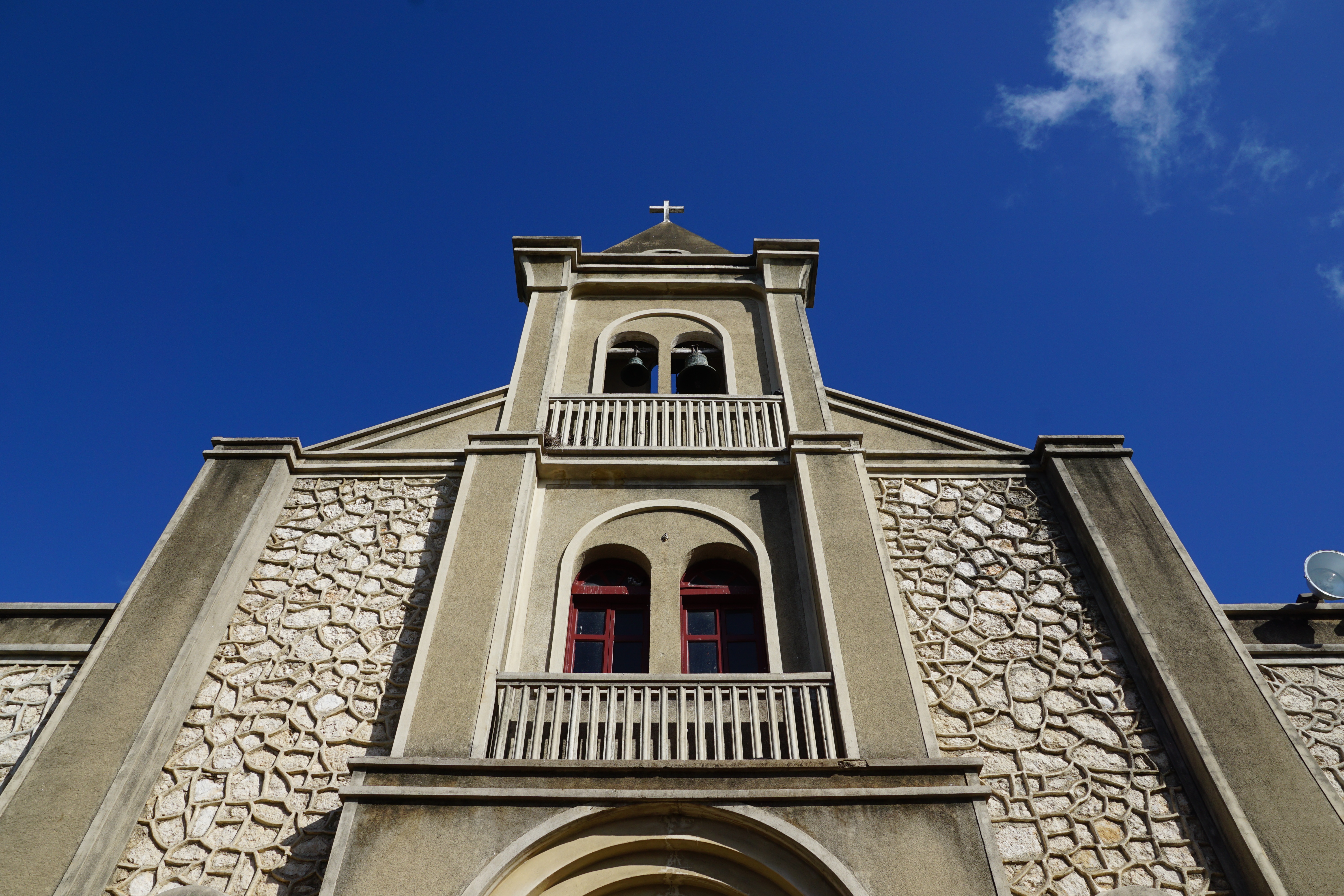
About Great Harbour, Jost Van Dyke
Jost Van Dyke, four miles long, is truly known as the 'barefoot island'. The smallest of the British Virgin Islands, it is known as a popular destination for yachts and is celebrated for its casual lifestyle, protected anchorages, fine beaches and beachfront restaurants and bars. The island has fewer than 200 inhabitants and they are widely known as a welcoming people. The island's name conjures up its rich, colorful past. Jost Van Dyke is said to have been named for an early Dutch settler, a former pirate. At Great Harbour, Little Harbour, and White Bay there are safe, protected bays and pristine beaches shaded with coconut palms and seagrape trees. Discover inviting shops selling local treasures, restaurants, and bars. 'The Painkiller', one of the Caribbean’s most popular drinks, originated at the Soggy Dollar Bar. Foxy’s and Gertrude's in White Bay are renowned for drinks made with the island's famous rum, frosty beers, and tales of pirates and sunken treasure. Explore Jost Van Dyke's history in the vegetation-covered ruins of centuries-old sugar mills, or on the old trails that crisscross the island. Revel in the natural beauty of the pristine, untouched beaches. Hike up to the highest spot on the island, Majohnny Point, and take in a stunning 360 degree view of the Caribbean. Relax in the natural 'bubble pool', a popular tourist attraction. Jost Van Dyke conjures up images of what the British Virgin Islands may have looked like many years ago.

About Philipsburg
The capital of Dutch St. Maarten stretches about a mile (1½ km) along an isthmus between Great Bay and the Salt Pond and has five parallel streets. Most of the village's dozens of shops and restaurants are on Front Street, narrow and cobblestone, closest to Great Bay. It's generally congested when cruise ships are in port, because of its many duty-free shops and several casinos. Little lanes called steegjes connect Front Street with Back Street, which has fewer shops and considerably less congestion. Along the beach is a ½-mile-long (1-km-long) boardwalk with restaurants and several Wi-Fi hot spots.Wathey Square (pronounced watty) is in the heart of the village. Directly across from the square are the town hall and the courthouse, in a striking white building with cupola. The structure was built in 1793 and has served as the commander's home, a fire station, a jail, and a post office. The streets surrounding the square are lined with hotels, duty-free shops, restaurants, and cafés. The Captain Hodge Pier, just off the square, is a good spot to view Great Bay and the beach that stretches alongside.


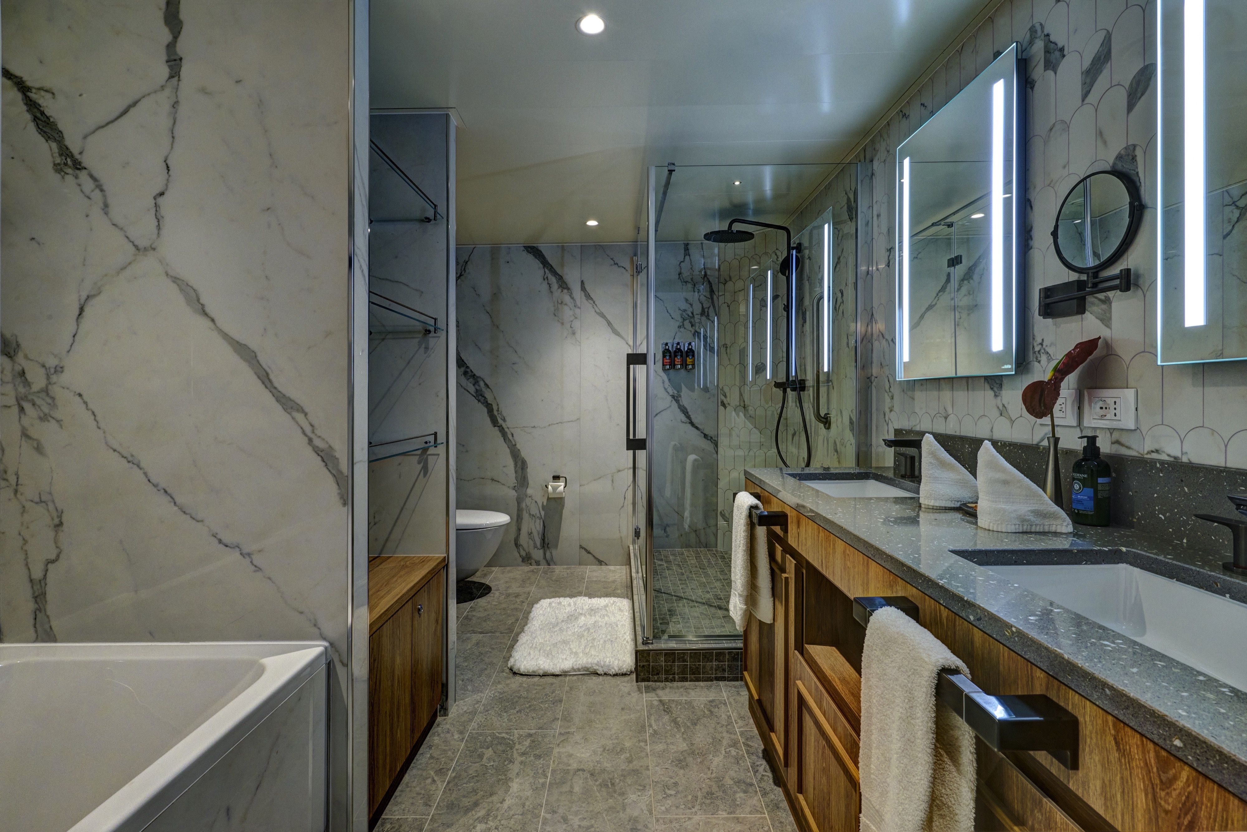
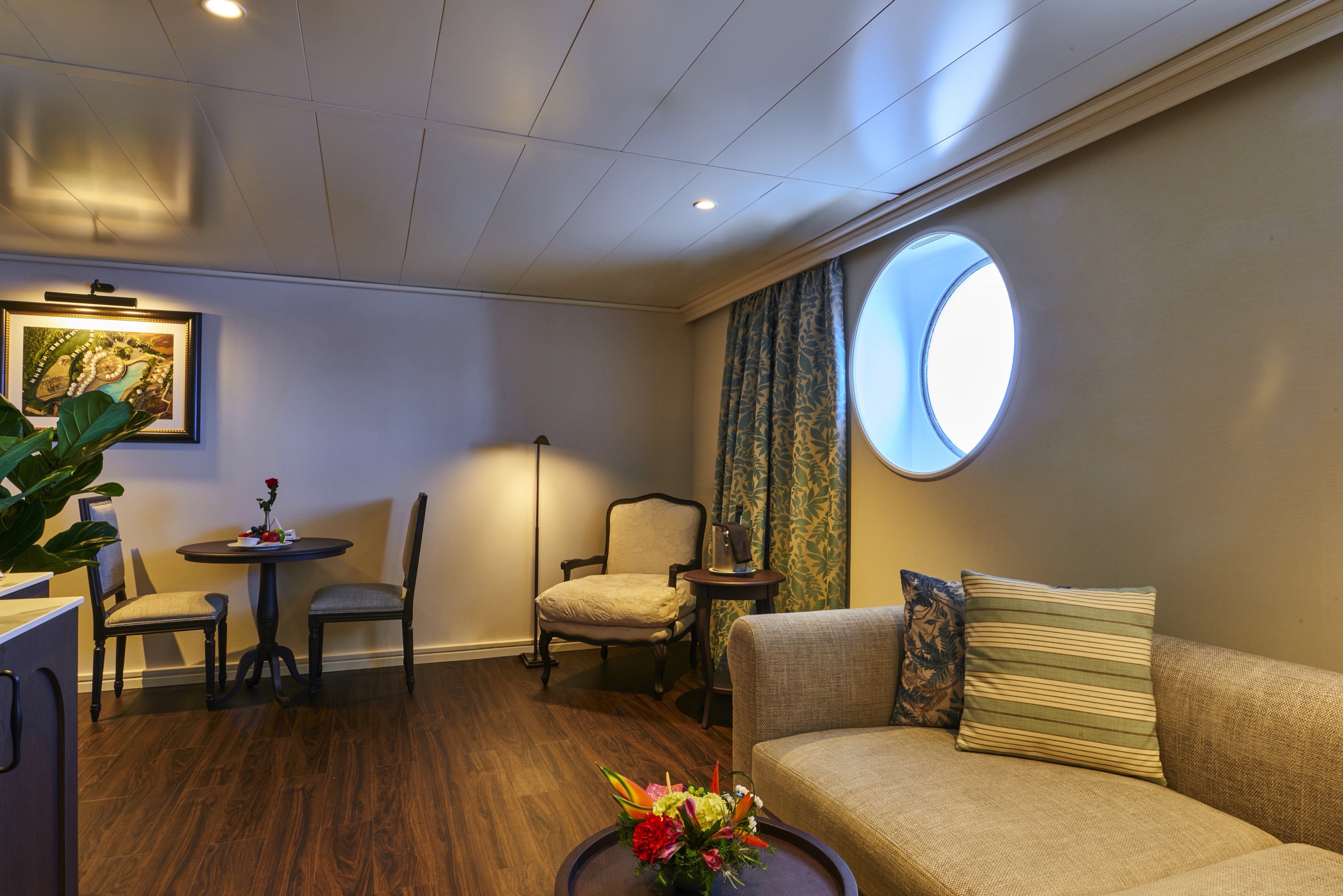
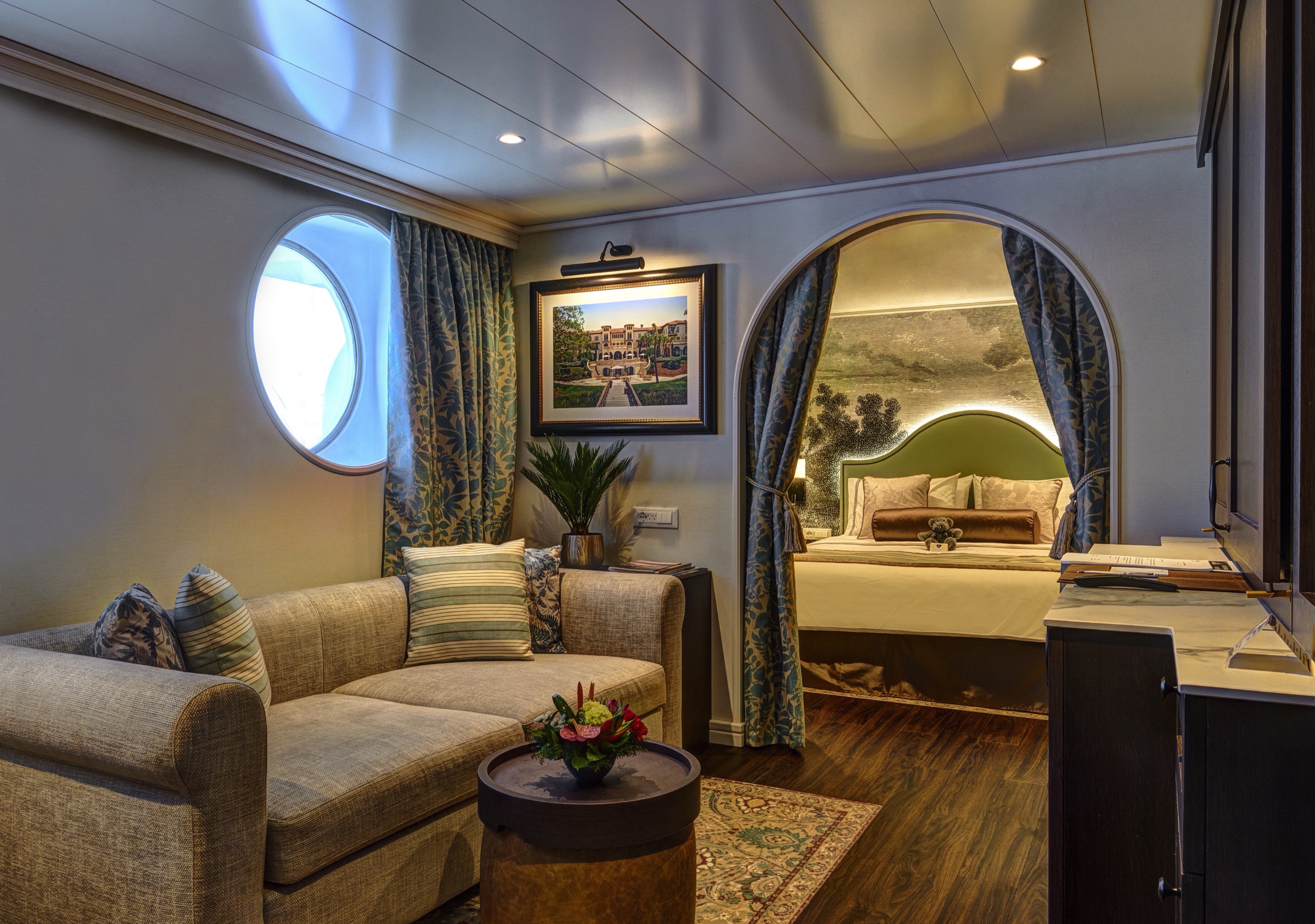
The ultimate in space and style surrounds you in 495 square feet of pure indulgence. Separate bedroom and living room with an in-suite dining area is an invitation to relaxation. And possibly best of all, your expansive bathroom features both a whirlpool spa tub and a massage shower.
All Accommodations Feature
- Queen Size Bed with Luxurious Linens
- Waffle Weave Robe and Slippers
- Fully Stocked Mini Bar/Refrigerator
- Hair Dryers and 110/220 outlets
- Bathroom with granite countertop and shower
- Granite vanity with magnifying mirror
- Safe
- L'Occitane Bath Amenities
- Fresh Fruit
- Wi-Fi access
- Television
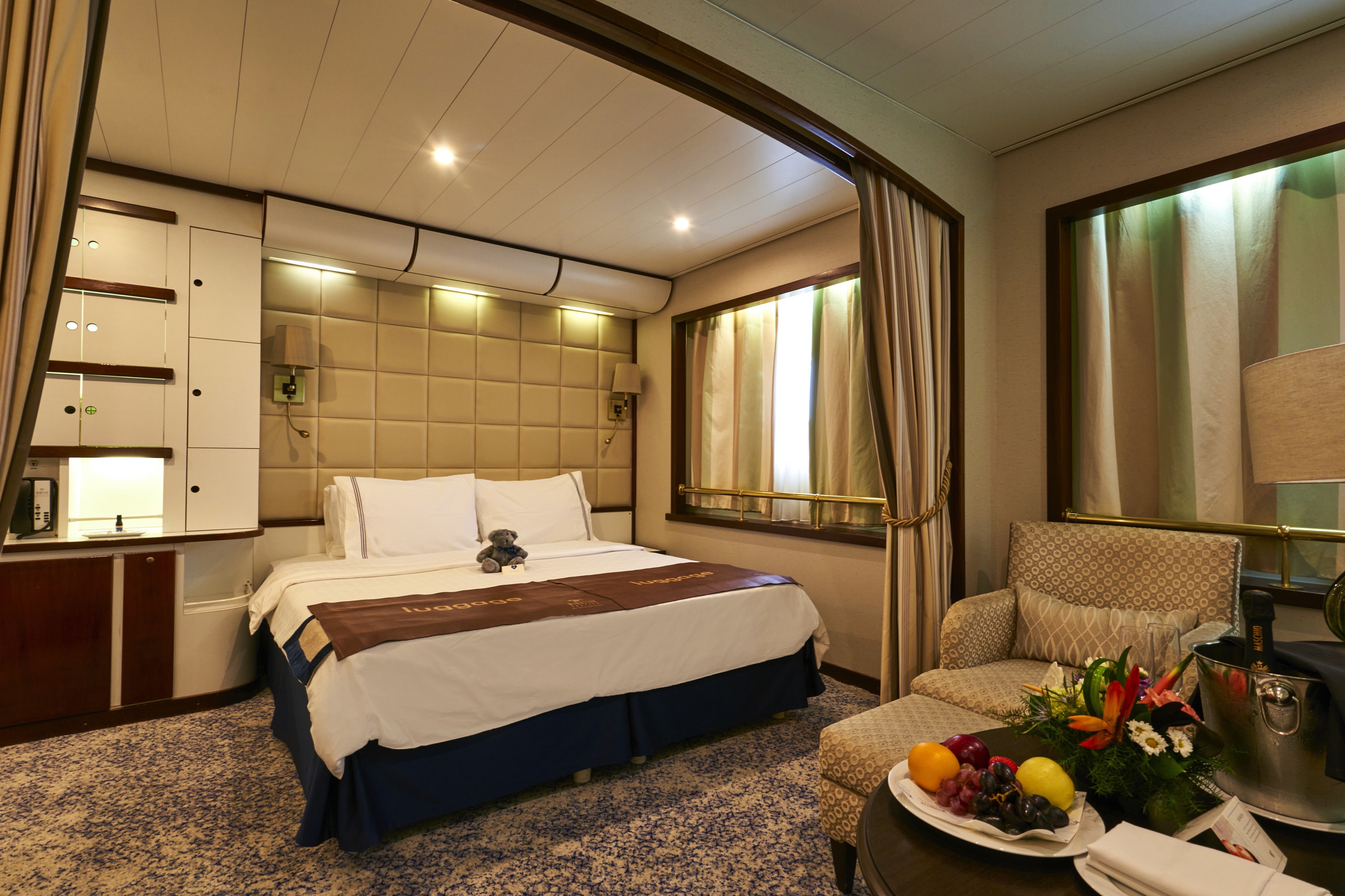
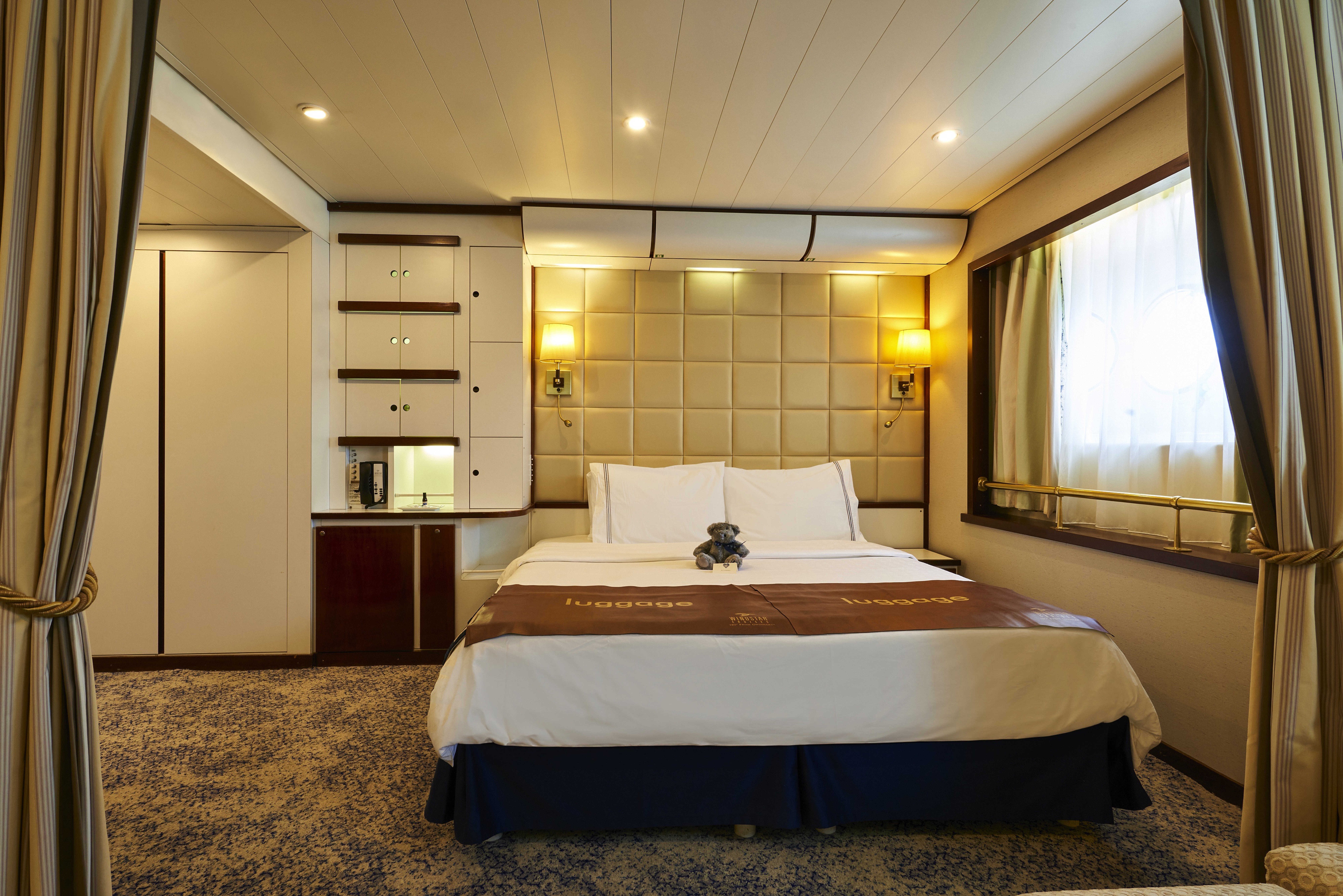
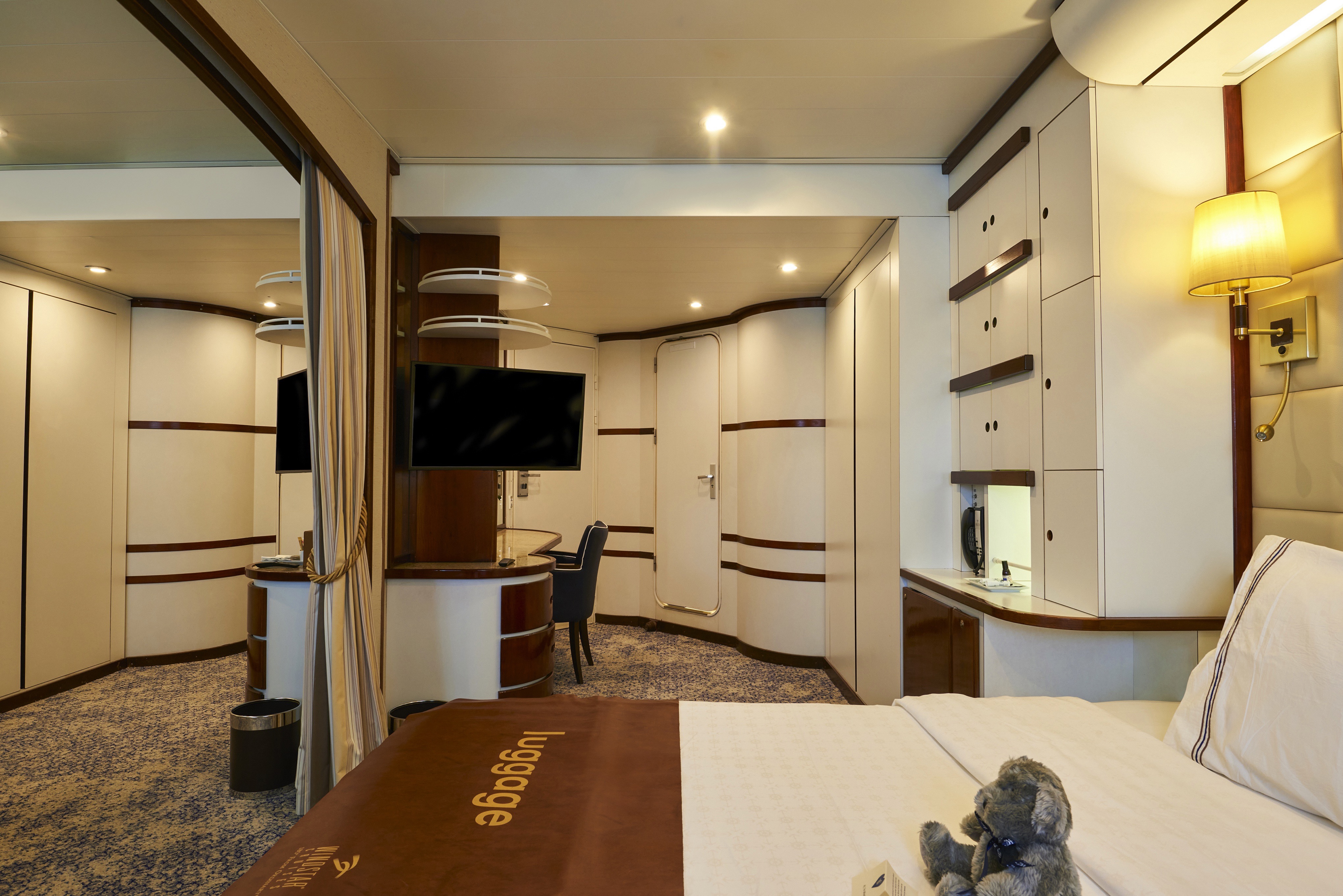
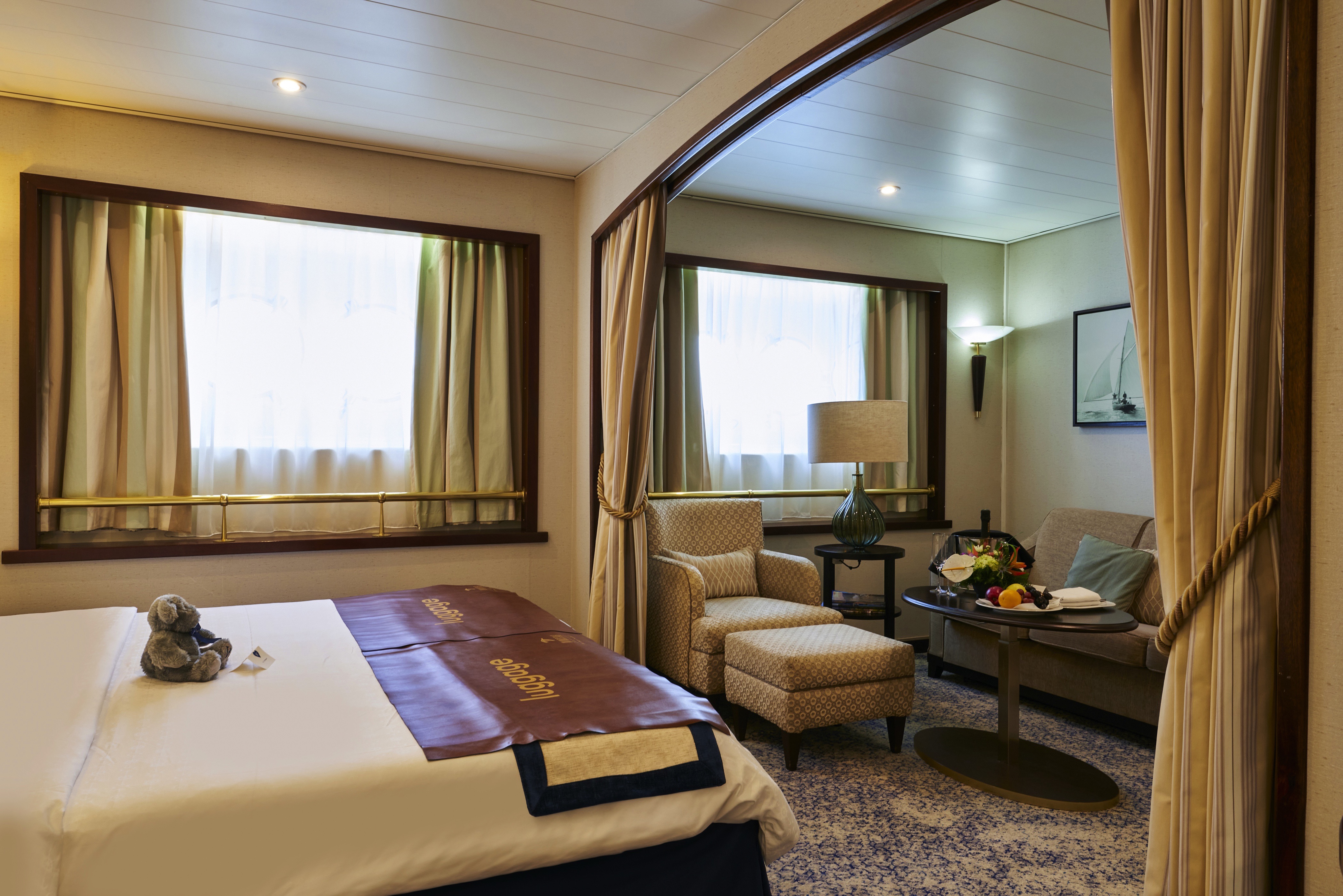
One of the best secrets in the cruise industry, this unique suite is located directly behind the Bridge. The Owner’s Suite, previously named the Officer’s Suite, is the only public accommodation near the officers’ quarters. Following the renovation, expect an elevated nautical look for true insider-y yacht life in a tucked away location.All Accommodations Feature
- Queen Size Bed with Luxurious Linens
- Waffle Weave Robe and Slippers
- Fully Stocked Mini Bar/Refrigerator
- Hair Dryers and 110/220 outlets
- Bathroom with granite countertop and shower
- Granite vanity with magnifying mirror
- Safe
- L'Occitane Bath Amenities
- Fresh Fruit
- Wi-Fi access
- Television


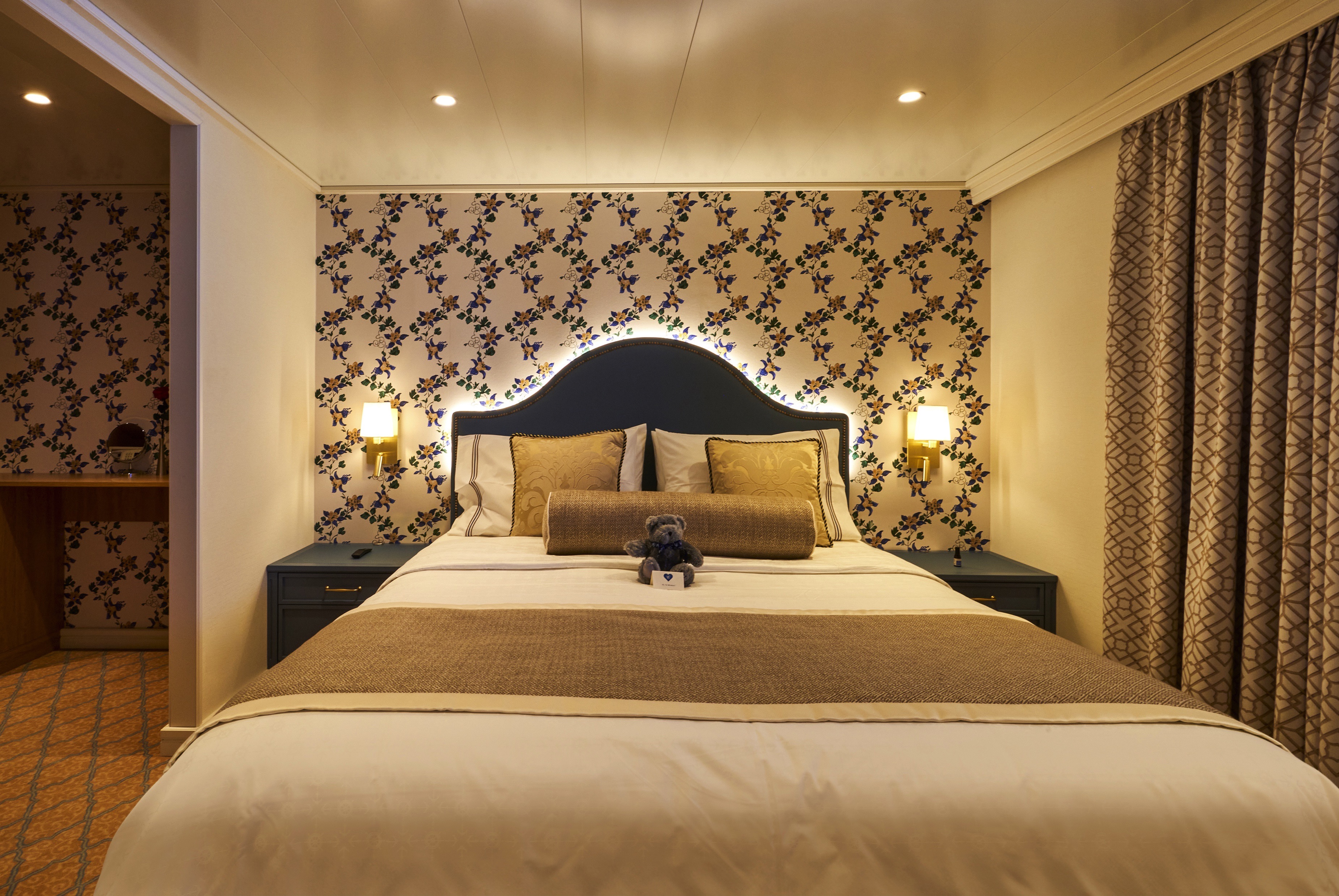
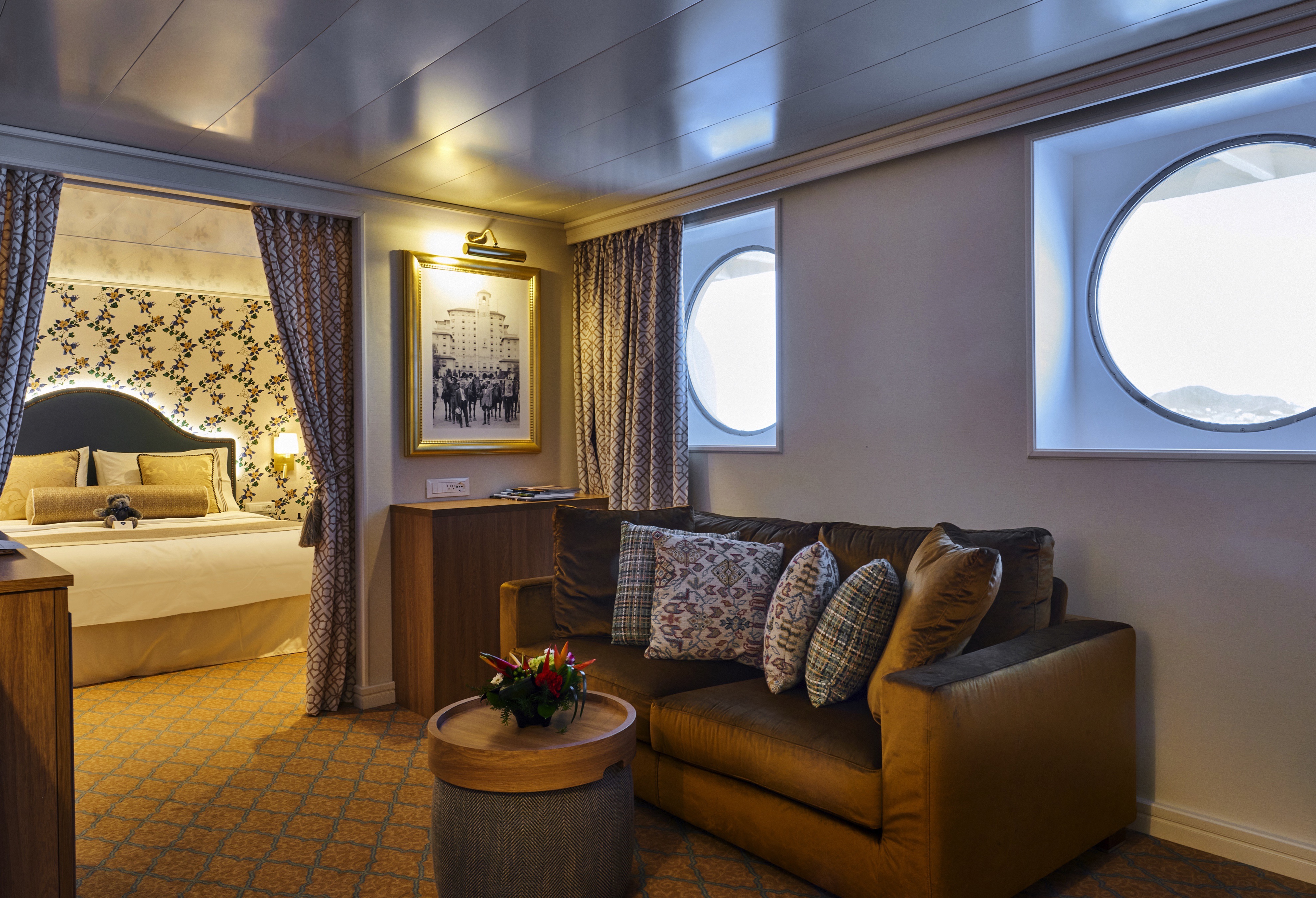
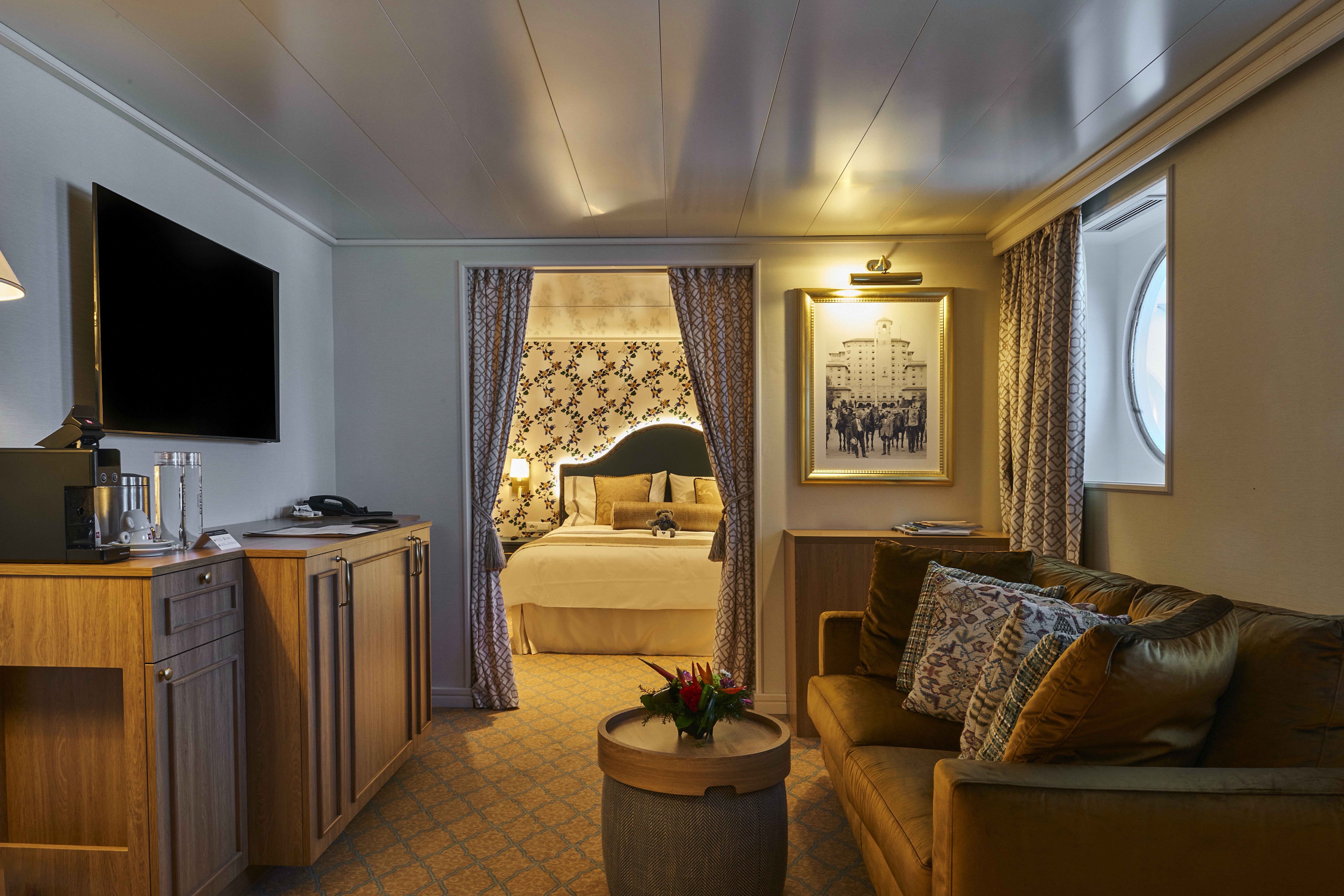
Joining Windstar’s all-suite, Star Plus yachts in this unique offering, Wind Surf will offer themed Broadmoor and Sea Island Suites, which are inspired by luxury, Five Star sister resorts The Broadmoor in Colorado and Sea Island in Georgia.
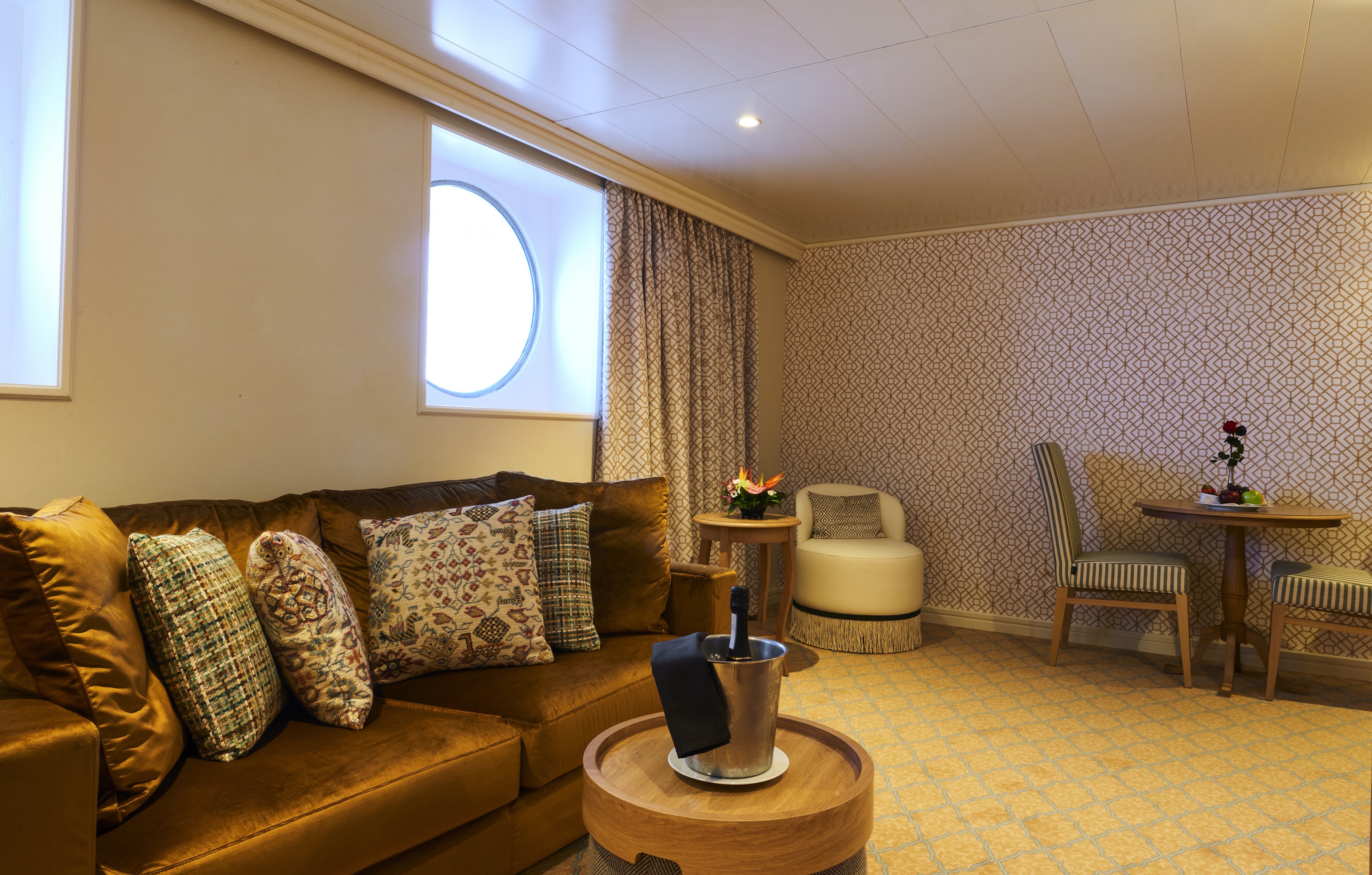
With 376 square feet, you'll find the perfect space for time together - and plenty of room for time to yourself. You'll even enjoy two full separate bathrooms. All the amenities of the staterooms await you, plus a beautiful sitting area, and two flat-screen television sets.
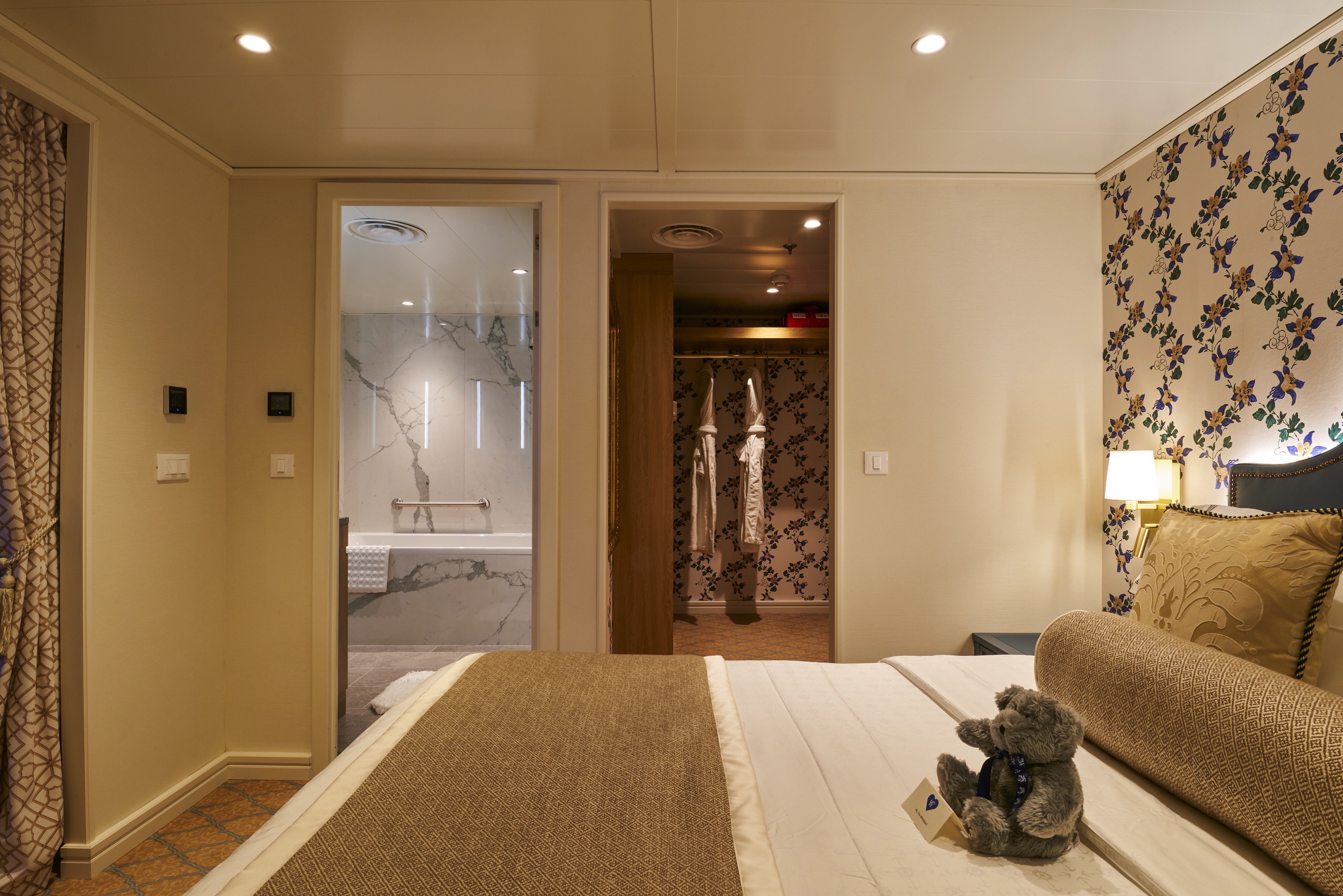
Broadmoor Suite - Inspired by the design of The Broadmoor, this suite offers a traditional space with classic furniture, floral motifs, white trim with gold finishes, and wide crown moulding. New furnishings and wall sconces have been specially commissioned in the resort's style. The striking wallpaper used in the suite's walk-in closet is an exact replica of the wallpaper used throughout The Broadmoor. The resort's signature carpeting, with shades of light blue, brown, yellow, and gold, was also recreated for the space. Historical black and white images of The Broadmoor will be on display.
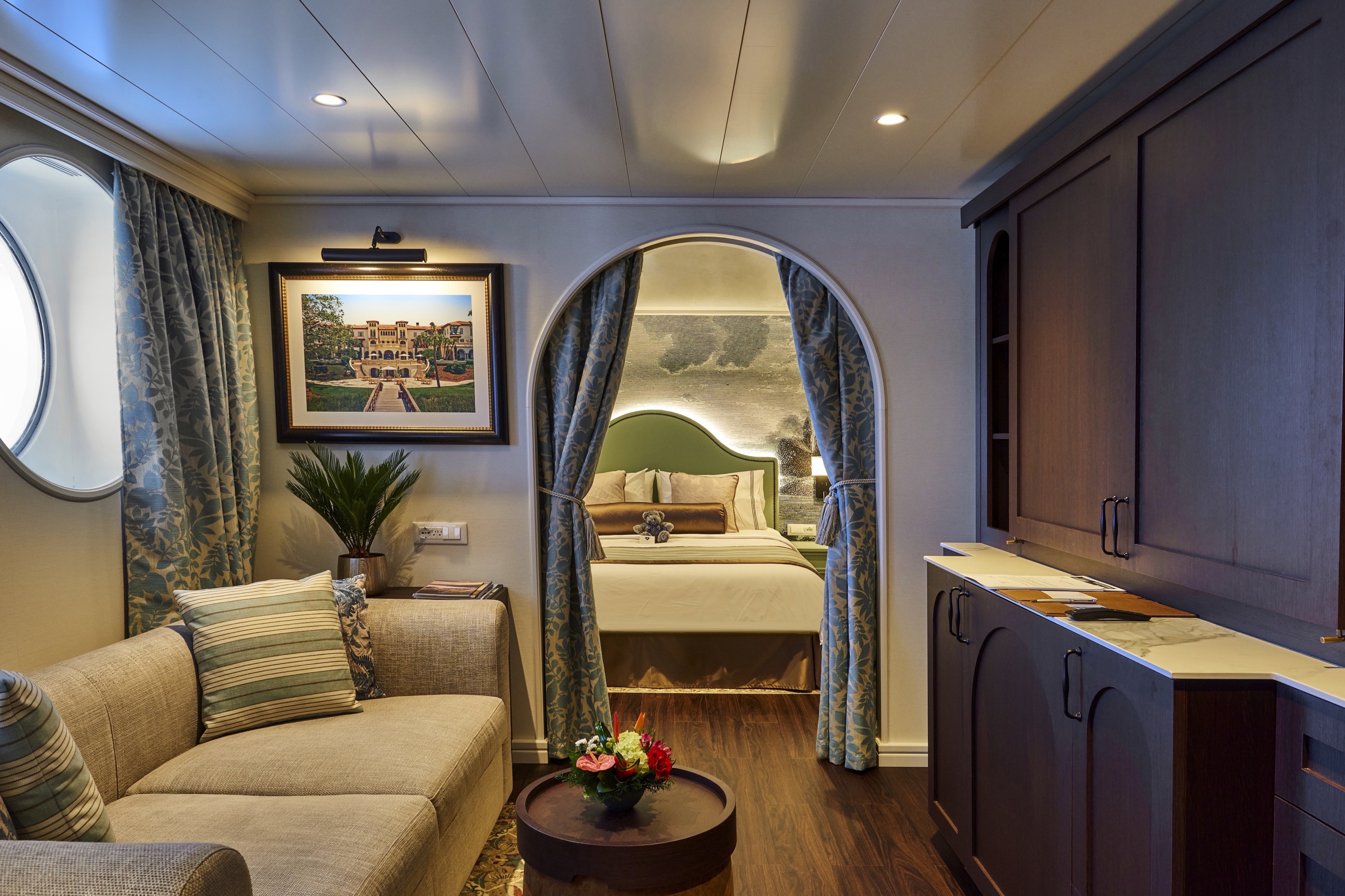
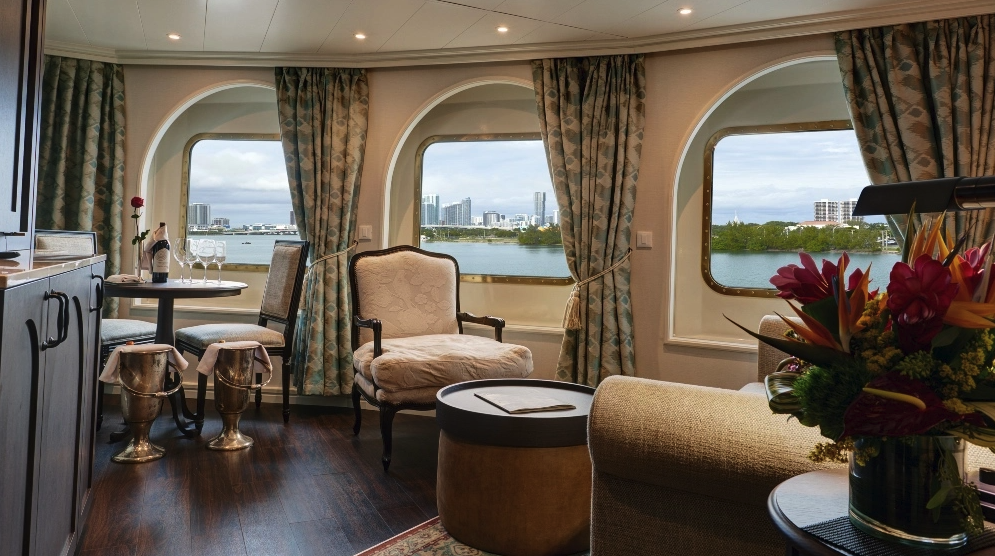
Sea Island Suite - This suite will offer a coastal airy space with curved arches, lovely "hardwood" floors, gorgeous inset carpeting, light walls, and white trim with black finishes. New antique-style furnishings and custom wallpapers have been specially commissioned in the resort's style. You'll never see a TV at Sea Island (they are all tucked away in cabinets), so you won't see one in this suite, either. Historical black and white images of Sea Island will be on display.
All Accommodations Feature
- Queen Size Bed with Luxurious Linens
- Waffle Weave Robe and Slippers
- Fully Stocked Mini Bar/Refrigerator
- Hair Dryers and 110/220 outlets
- Bathroom with granite countertop and shower
- Granite vanity with magnifying mirror
- Safe
- L'Occitane Bath Amenities
- Fresh Fruit
- Wi-Fi access
- Television
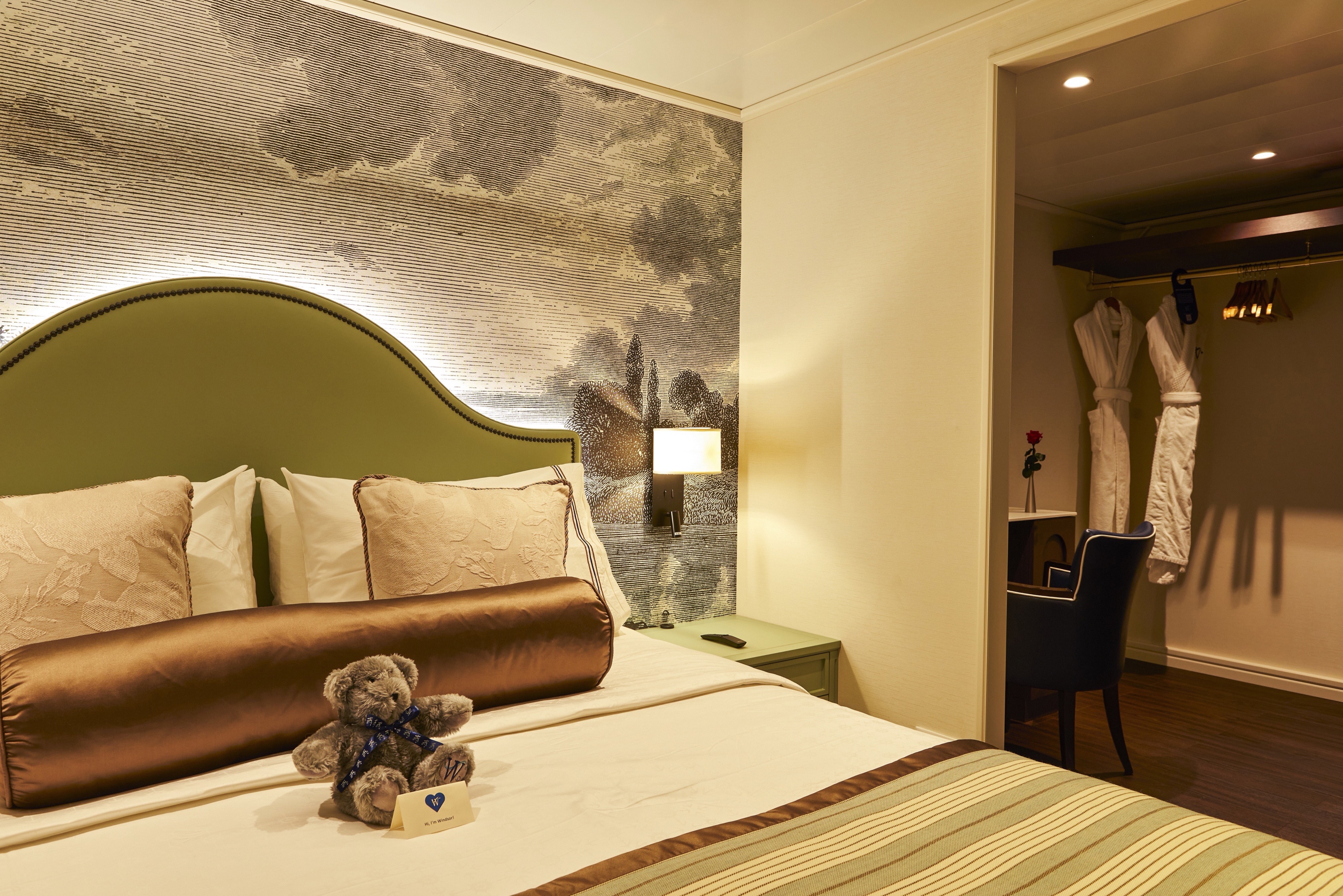
New connected TVs in all staterooms with the line’s Wayfinder app for finding the ship’s agenda, menus, movies and TV shows, guest accounts and more.
Stylish comfort and ocean views welcome you in 188 square feet of beautifully designed comfort. Your queen bed (which can be separated as twins if you prefer) is swathed in luxurious Egyptian cotton linens. Before or after you enjoy an invigorating massage shower with soothing L'Occitane" bath products, wrap up in your waffle-weave robe and have a snack from the fresh fruit bowl.
All Accommodations Feature
- Queen Size Bed with Luxurious Linens
- Waffle Weave Robe and Slippers
- Fully Stocked Mini Bar/Refrigerator
- Hair Dryers and 110/220 outlets
- Bathroom with granite countertop and shower
- Granite vanity with magnifying mirror
- Safe
- L'Occitane Bath Amenities
- Fresh Fruit
- Wi-Fi access
- Television
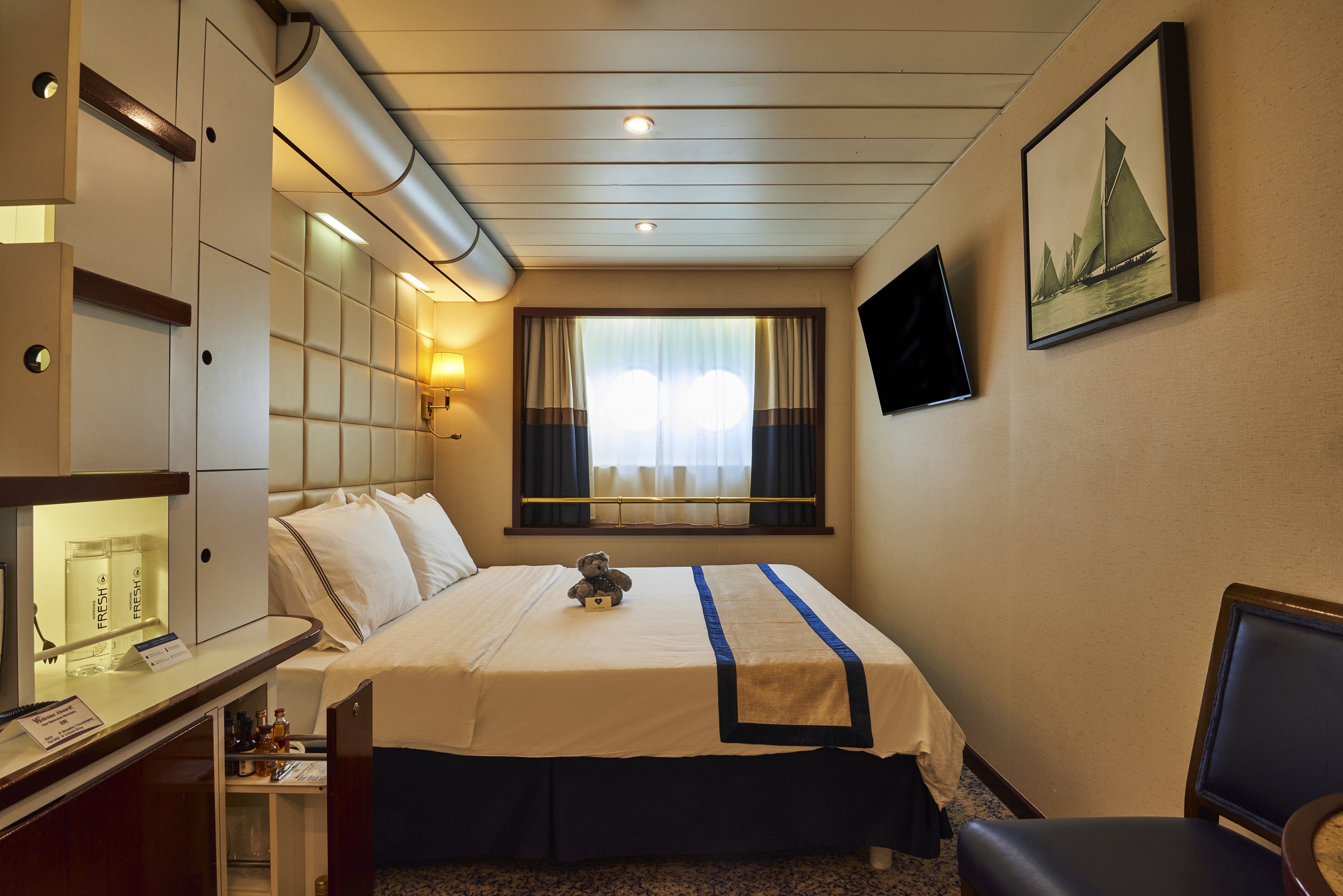
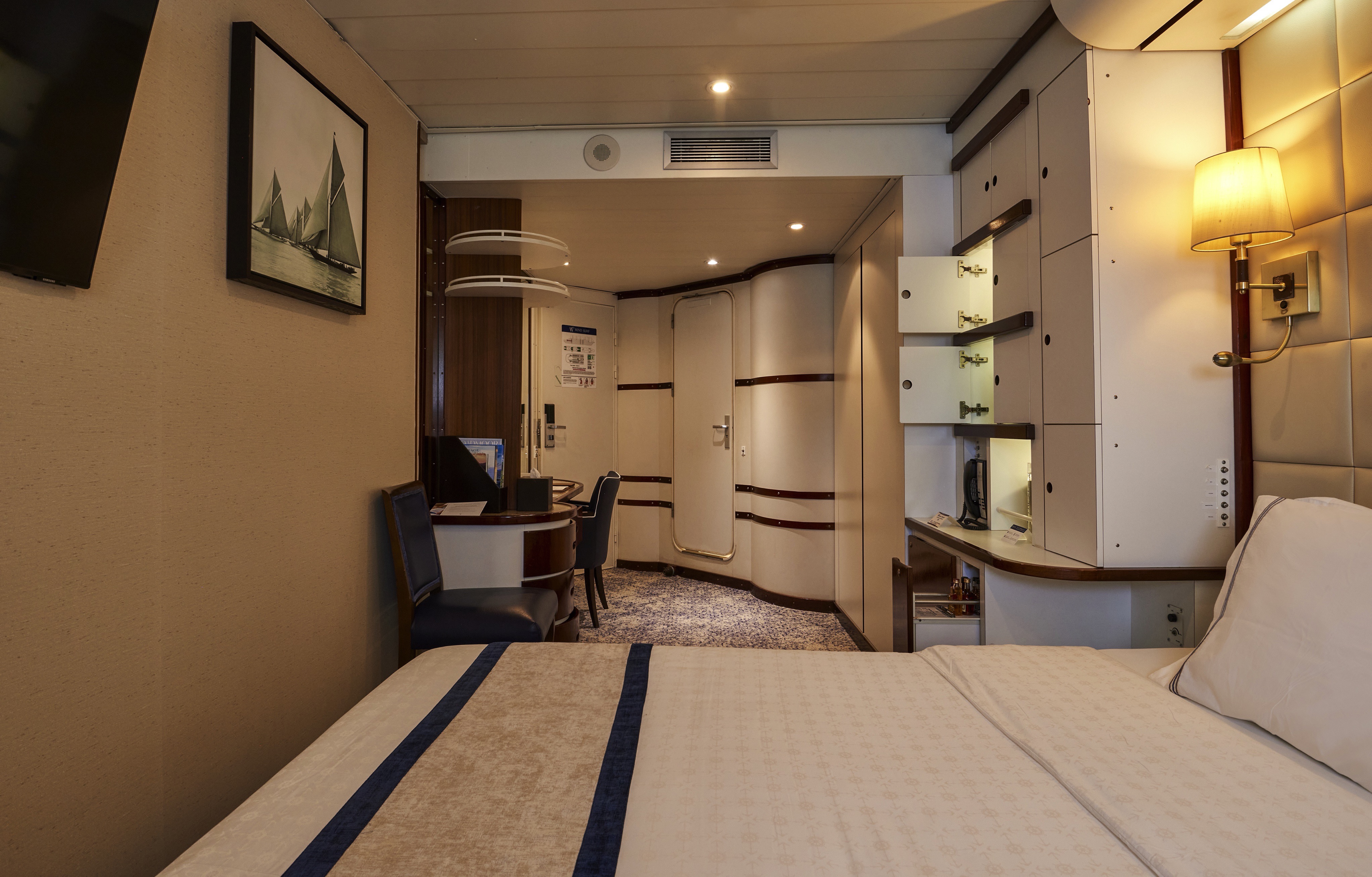
Inspired by the design of The Broadmoor, the suite offers a traditional space with classic furniture, floral motifs, white trim with gold finishes, and wide crown molding. New furnishings, and wall sconces have been specially commissioned in the resort's style. The striking wallpaper used in the suite's walk-in closet is an exact replica of the wallpaper used throughout The Broadmoor. The resort's signature carpeting, with shades of light blue, brown, yellow and gold, was also recreated for the space. Historical black and white images of The Broadmoor will be on display.
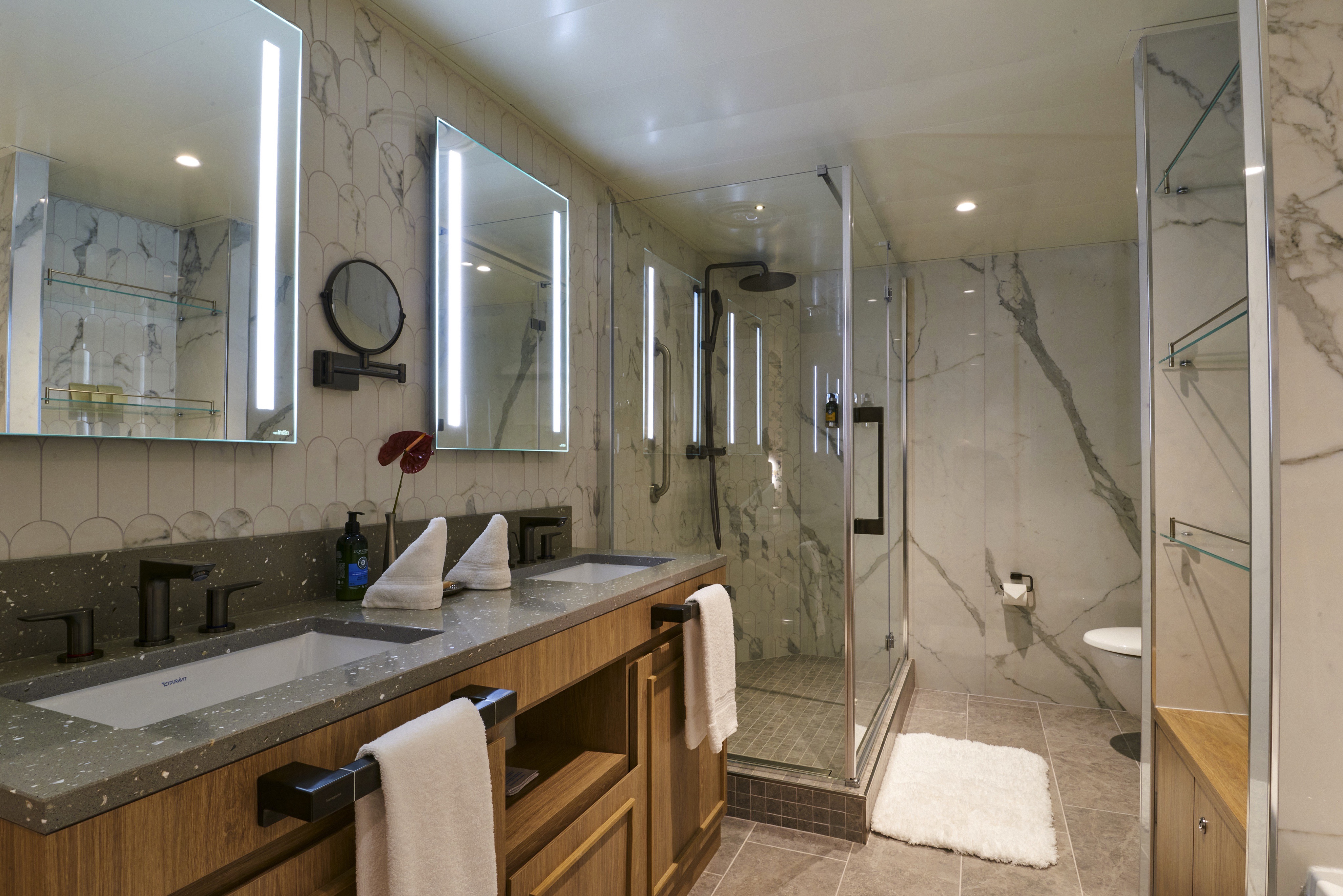
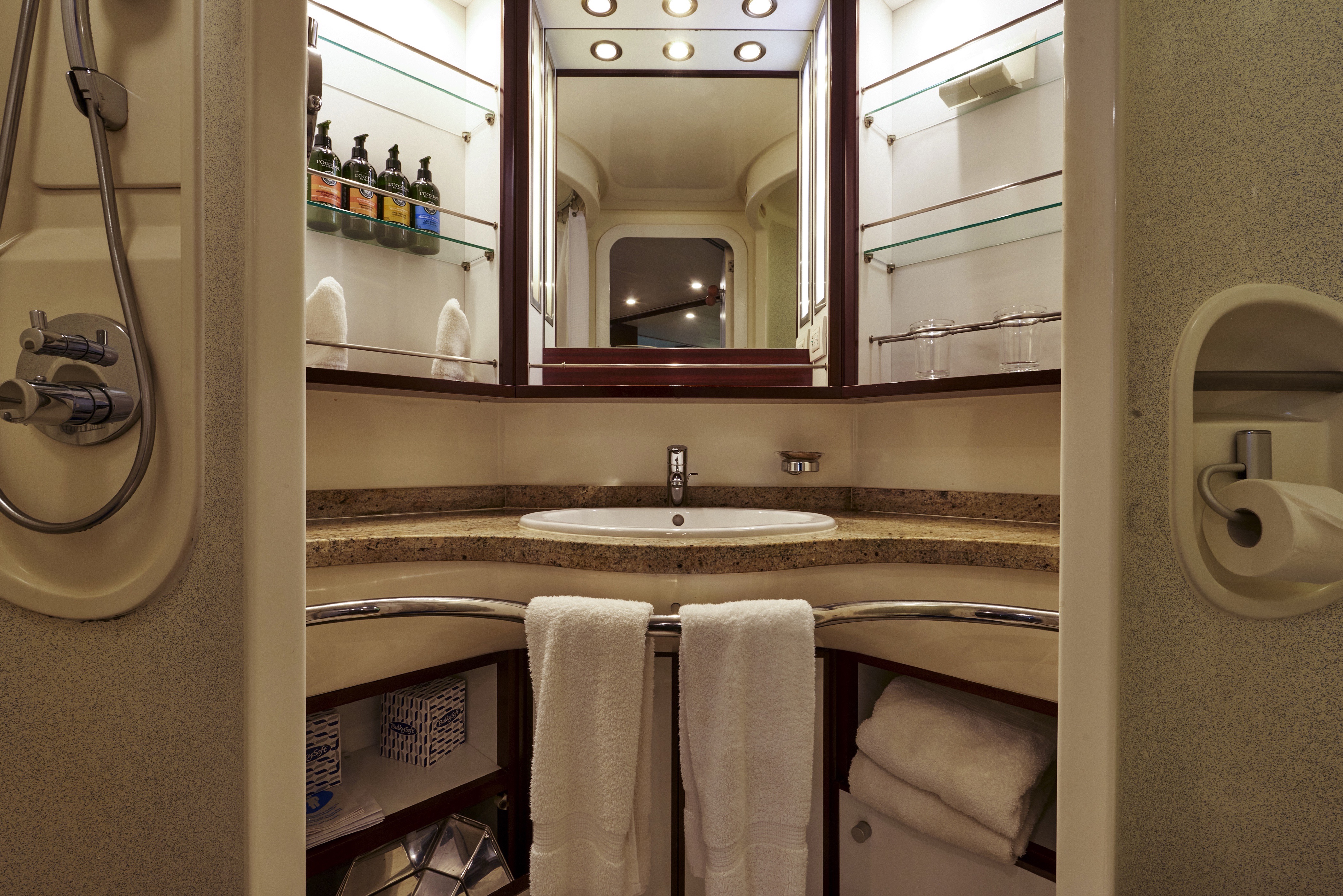
Newly Redesigned Restrooms
We reimagined our restrooms to provide you a private oasis within your own room.
Amenities
- Queen Size Bed with Luxurious Linens
- Waffle Weave Robe and Slippers
- Interactive TV
- Fully Stocked Mini Bar/Refrigerator
- Safe
- Direct Dial Phone
- L'Occitane Bath Amenities
- Fresh Fruit
- Hair Dryers and 110/220 outlets
- Wi-Fi Internet Access (various plans available for purchase)
- Mirrored closet with ample drawer space
- Granite vanity with magnifying mirror and chair
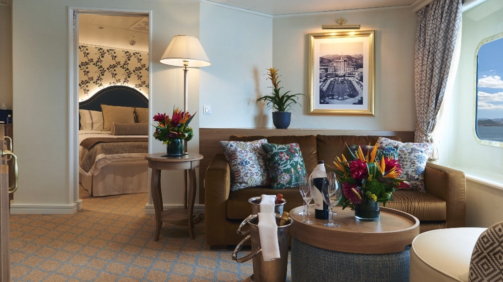
This suite will offer a coastal airy space with curved arches, lovely "hardwood" floors, gorgeous inset carpeting, light walls, and white trim with black finishes. New antique-style furnishings and custom wallpapers have been specially commissioned in the resort's style. You'll never see a TV at Sea Island (they are all tucked away in cabinets), so you won't see one in this suite, either. Historical black and white images of Sea Island will be on display.
Newly Redesigned Restrooms
We reimagined our restrooms to provide you a private oasis within your own room.
Amenities
- Queen Size Bed with Luxurious Linens
- Waffle Weave Robe and Slippers
- Interactive TV
- Fully Stocked Mini Bar/Refrigerator
- Safe
- Direct Dial Phone
- L'Occitane Bath Amenities
- Fresh Fruit
- Hair Dryers and 110/220 outlets
- Wi-Fi Internet Access (various plans available for purchase)
- Mirrored closet with ample drawer space
- Granite vanity with magnifying mirror and chair
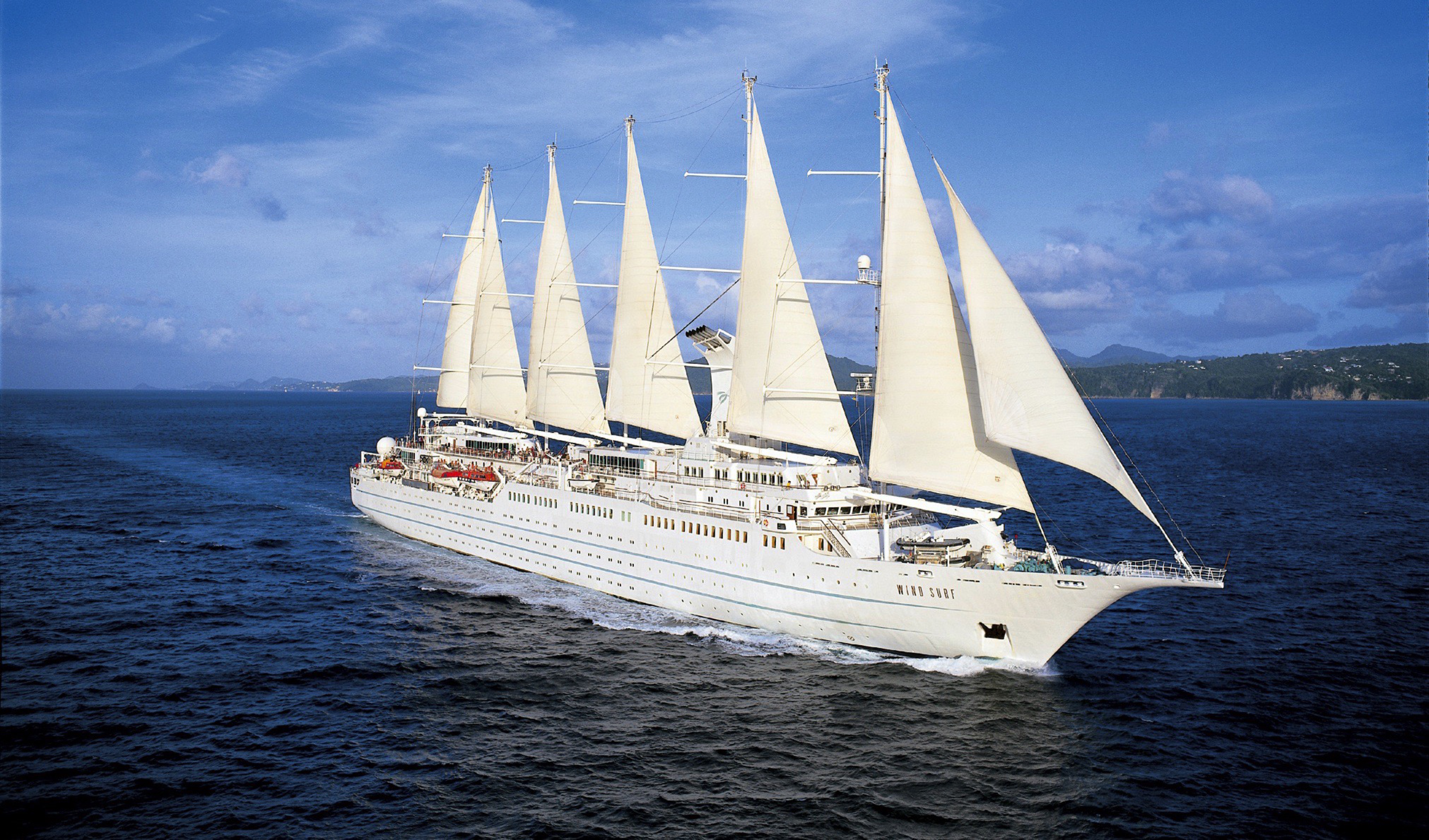
Wind Surf
Windstar's Flagship Sailing Ship
On any day, our 342-guest flagship, Wind Surf, draws admiring glances as she glides majestically into port with her tall sails billowing. And her beauty is far more than skin deep. During their cruise, you will find the perfect setting for ‘making an entrance’ in the beautiful reception area – and, appropriately, that’s only the beginning.
When you return to your stateroom, the luxury gets personal. Windstar’s signature bowl of fresh fruit will still be waiting for you, along with rich tufted headboards, soft seascape colors, beautiful new upholstery, and fine count Egyptian cotton linens welcome you to an oasis of relaxing indulgence.
Wind Surf underwent a significant renovation of public spaces and suites, including an expanded lounge with new lights and sound for upcoming stage performances. Relax into the destinations you’re visiting at the new World Spa by Windstar, which will offer regional spa treatments, including massage styles like Swedish, Japanese Shiatsu and Hawaiian Lomi Lomi. An Officer’s Suite, which might be the only one of its kind, provides you with the chance to stay in the heart of the officer quarters tucked right behind the Bridge.
Everything about Wind Surf speaks of welcome. Come aboard and see it for yourself.
Windstar has always been known for our iconic sailing ships, and now we are embarking on a multi-year refresh of the Wind Class ships. The initiative, Setting Sails: A Wind Class Refresh, brings the tight-knit connection of the Windstar community to the forefront through the redesign of public spaces and staterooms. From a revamped lobby to a new pool and larger pool bar, new World Spa by Windstar to a redesigned lounge, this initiative also includes intricate details like new teak decks and décor for a timeless and welcoming experience. Wind Surf will complete her redesign in 2026.
Ship Facts
| Launch Year | 1998 | ||||||||
| Refit Year | 2019 | ||||||||
| Language | en | ||||||||
| Gross Tonnage | 14745 | ||||||||
| Length | 162 | ||||||||
| Width | 20 | ||||||||
| Currency | USD | ||||||||
| Speed | 12 | ||||||||
| Capacity | 342 | ||||||||
| Crew Count | 210 | ||||||||
| Deck Count | 6 | ||||||||
| Cabin Count | 171 | ||||||||
| Large Cabin Count | 52 | ||||||||
| Wheelchair Cabin Count | 0 | ||||||||
| Electrical Plugs |
|
Star Deck
- Stella Bistro
- Veranda/Candles
- Fitness Centre
- Terrace Bar

Bridge Deck
- Bridge
- World Spa by Windstar
- Compass Rose Bar
- Owner's Suite
- Broadmoor Suite
- Sea Island Suite

Main Deck
- Amphora Restaurant
- Amphora Wine Room
- Lounge
- Reception
- Yacht Club Café
- Cruise Consultant Desk
- Destination Desk
- Star Boutique
- Pool / Pool Bar / Whirlpools

Deck Three
- Suites
- TX Staterooms

Deck Two
- Watersports Platform
- A Staterooms
- AX Staterooms

Deck One
- BX Staterooms
- B Staterooms
- Medical Facility

World Class Dining Experience
We've upped the onboard dining game with our culinary program, featuring an array of fresh, seasonal ingredients sourced from each port along the journey. Each nightly menu is crafted to highlight the spectacular flavors of the regional cuisine.
Amphora Restaurant
Wind Surf’s main dining room has been entirely refreshed setting the scene for a timeless dining experience. Amphora’s new design concept draws from elements of the sea, such as pearls, smooth stones, and sea glass, which guests will see integrated into the new architecture and furniture details. The complementing colour tones were inspired by the horizon at sunset. New seating arrangements include curved booths to seat 2-8 people, new larger dining chairs for comfort.
Stella Bistro
Treat your palate to the French-inspired café cuisine of Stella Bistro, Wind Surf's alternative restaurant. You'll find delightfully indulgent desserts and a wonderful array of wines specifically paired to the meal. (Wind Surf only)
Veranda Restaurant
It's breakfast alfresco, full service or buffet-style, anytime till 9:30 a.m. No need to hurry. Again, the choices are many in Veranda. Choose the sumptuous, seemingly endless buffet. Or, order from the lunch menu between noon and 2:30 p.m
24-Hour Room Service
Stay in tonight and even order from the main Amphora dining menu.
A day on board your Windstar ship is a day of choices, all of them good. Perhaps you’ll begin with a relaxing massage in World Spa by Windstar. Or maybe an invigorating workout in the Fitness Center. Even better, why not both? After a sumptuous lunch in Veranda, make a splash from the Watersports Platform off the ship’s stern. Everything you can think of for fun in the water is there — swimming, kayaking, and stand-up paddleboarding. And it’s all complimentary, of course. Sun yourself on deck, take a dip in the whirlpool, then catch up on email or order a cheese plate for your stateroom or suite. After dinner, dance to live music in the Lounge. This is your yacht, so of course you’re welcome on the Bridge, where the Captain and officers are delighted to share charts, routes, and vistas with you.
As you prepare for another amazing Windstar day, enjoy a nightcap anywhere you like — on deck, in the Lounge, or why not let us bring it to your suite or stateroom? Your day ends just as it began, blissfully.
Compass Rose Bar
The ship’s Compass Rose features comfortable, modern décor with pops of blue and orange, a chic bar, and a new multi-purpose stage area ideal for live music and local performances.
Pool Deck & Bar
This space will now maximise Wind Surf’s ocean views and create a more convivial vibe for poolside lounging and top-shelf mixology. Tropical scenes and greenery at the bar pull in a natural, outdoor atmosphere. Soothing natural colours convey a beach scene and new arty tiling on the two whirlpools take the form of ocean waves. Look for a variety of new outdoor furniture as well.
Star Boutique
A larger retail area with upscale details, reminiscent of a luxury brand store’s shopping experience.
Reception
A new, more welcoming location that’s better able to serve guests with additional seating options, plus an updated and fresh (yet still nautical) vibe akin to a boutique hotel.
Onboard Entertainment
Onboard entertainment facilities include: a casino, a watersports platform, the Compass Rose Cocktail Bar, The Lounge, and The Terrace Bar.
Lounge
An expanded lounge with new lights and sound for upcoming stage performances.
Yacht Club Café
The Yacht Club Café can be found on the Main Deck.
Wine Room
Located on the Main Deck
Bridge
Located on Bridge Deck