Impressions of the Seine & Paris
Impressions of the Seine & Paris
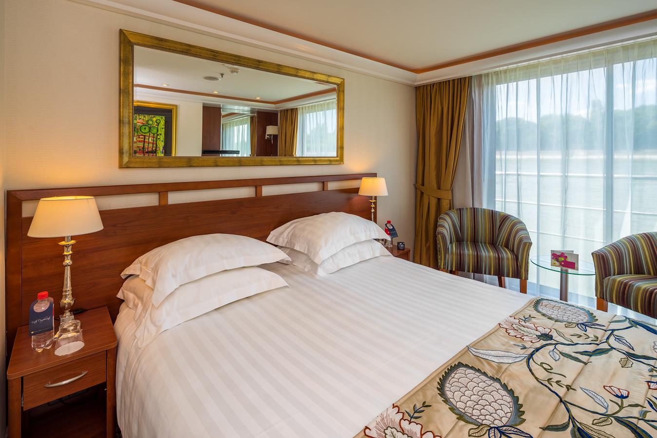
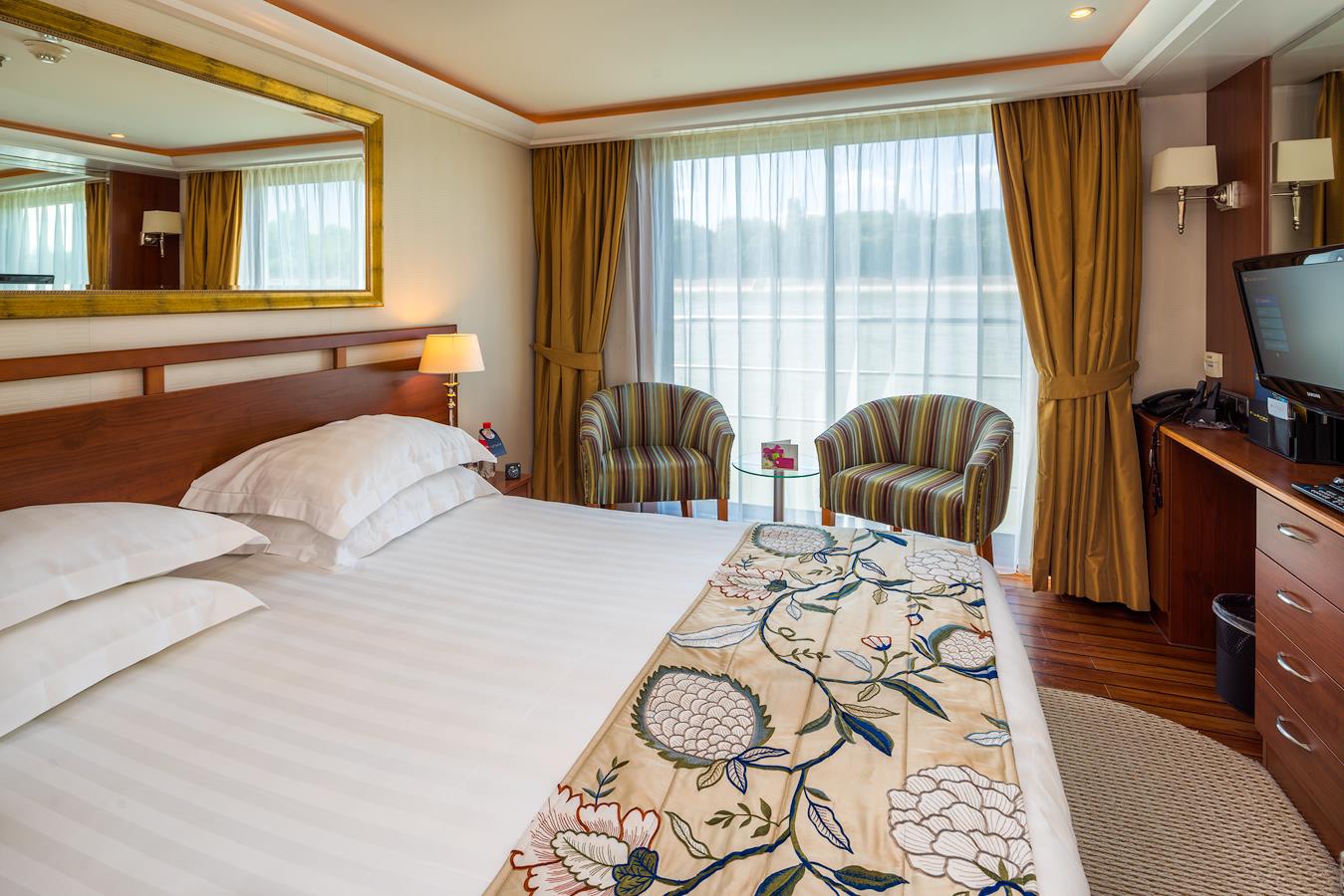
Cruise overview
WHY BOOK WITH US?
- ✔ The Deluxe Cruises’ team has extensive experience in ultra-luxury cruising.
- ✔ Call now to speak to our helpful and experienced Cruise Concierge team.
- ✔ Enjoy our Unique Deluxe Cruises Bonus for substantial savings.
- ✔ Our team will tailor your holiday to your exacting requirements.
- ✔ As agents, we work under the protection of each cruise lines ABTA / ATOL licences
About Paris

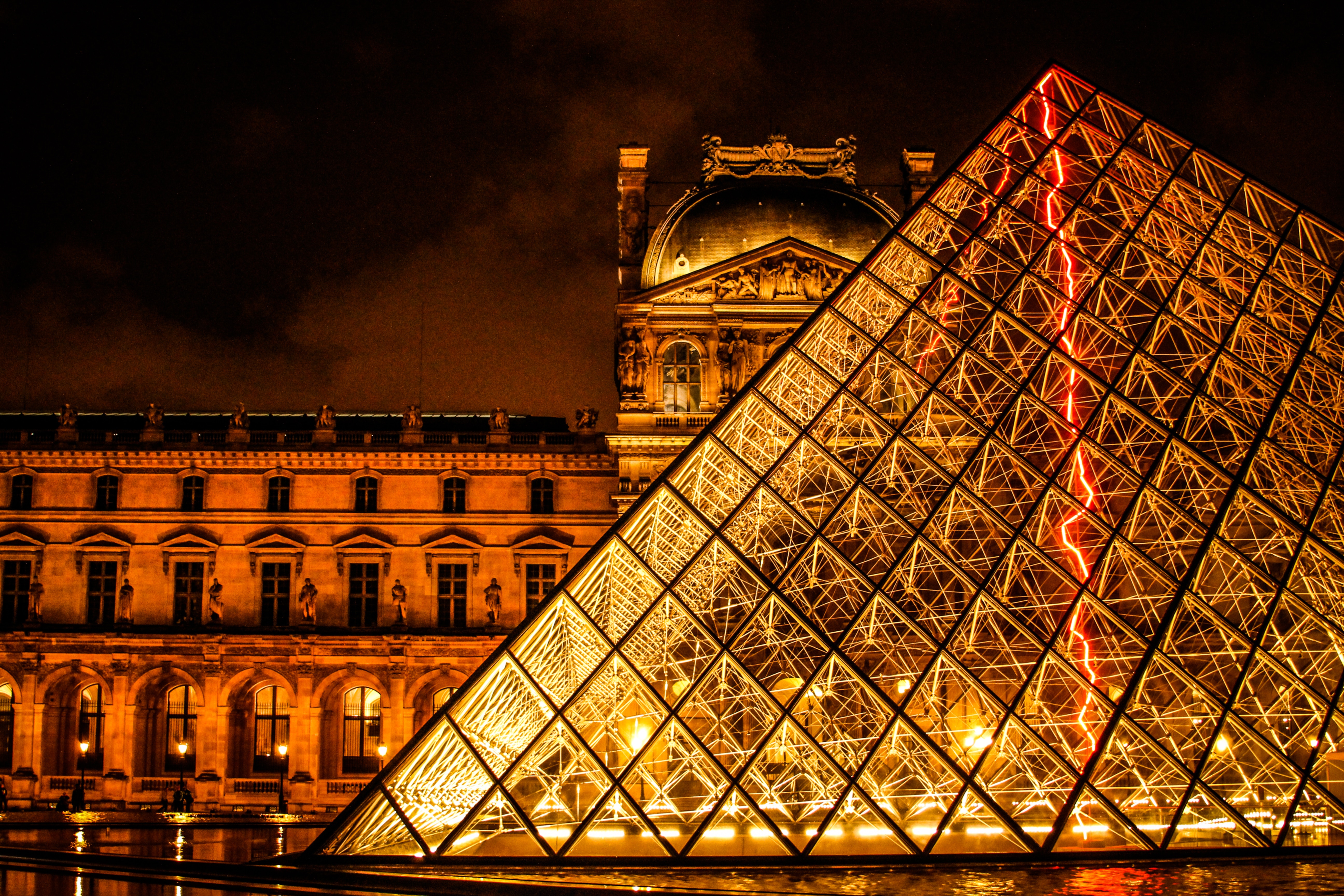


About Paris
About La Roche-Guyon

About Mantes-la-Jolie
Mantes-la-Jolie is a commune in the Yvelines department in the Île-de-France region of north-central France. It is located to the west of Paris, 48.4 km from the centre of the capital.

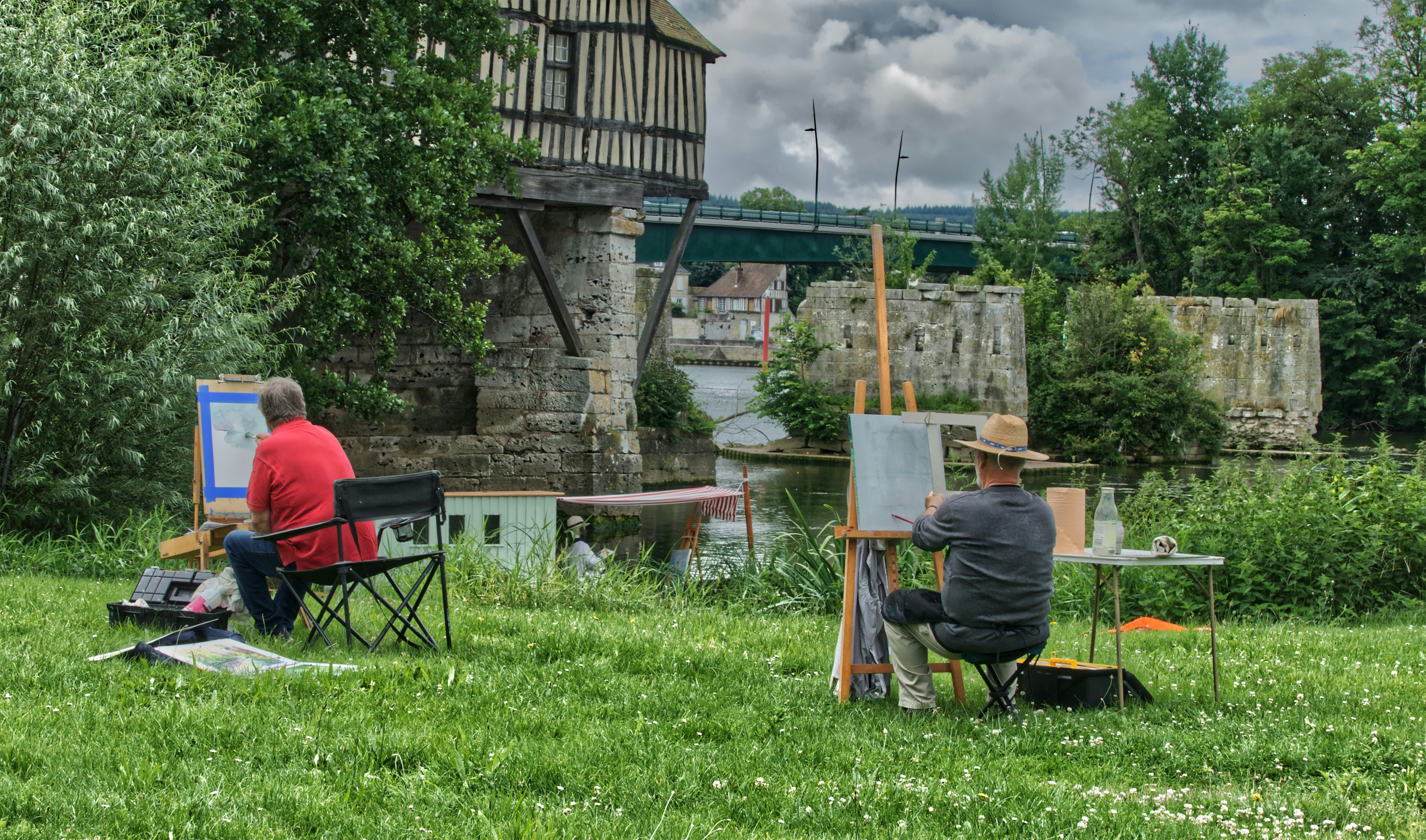
About Vernon


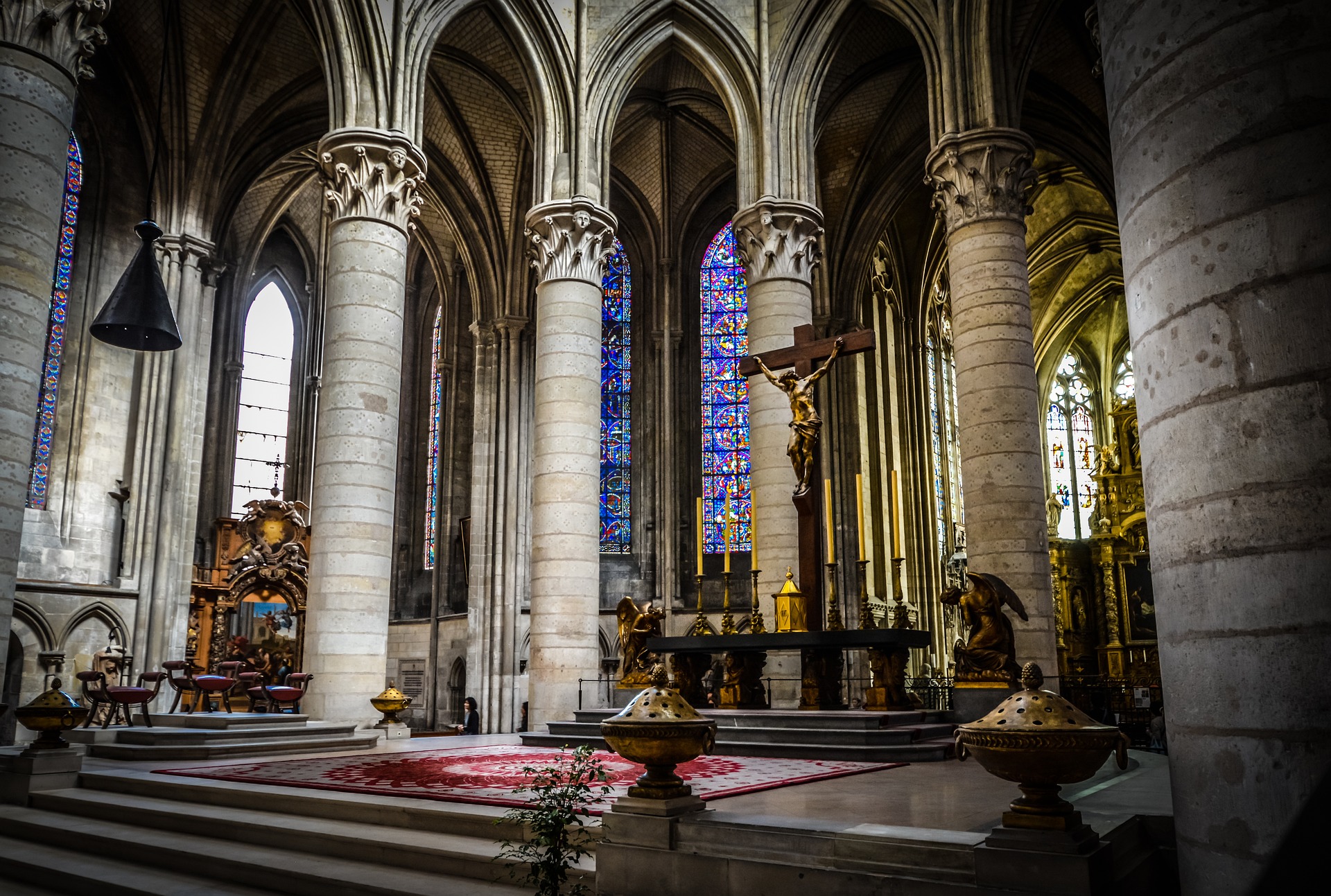
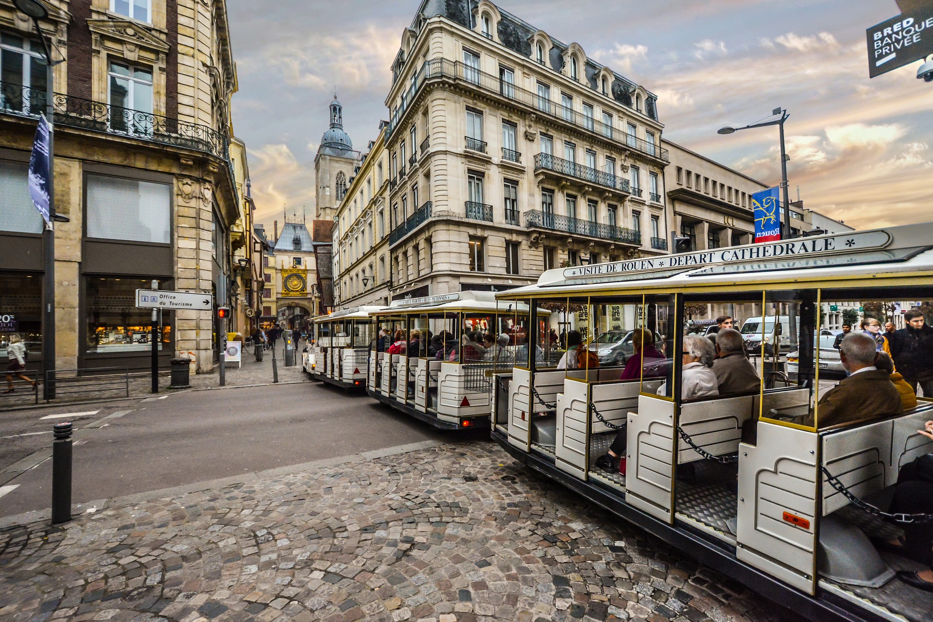
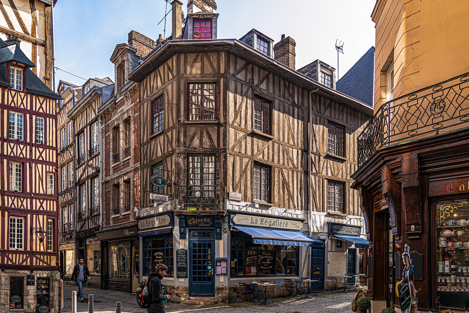
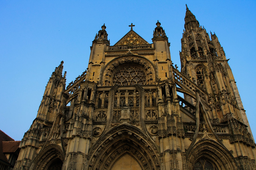
About Rouen


About Caudebec-en-Caux
About Le Havre
Le Havre, founded by King Francis I of France in 1517, is located inUpper Normandy on the north bank of the mouth of the River Seine, which isconsidered the most frequented waterway in the world. Its port is ranked thesecond largest in France. The city was originally built on marshland andmudflats that were drained in the 1500’s. During WWII most of Le Havre wasdestroyed by Allied bombing raids. Post war rebuilding of the city followed thedevelopment plans of the well-known Belgian architect Auguste Perre. Thereconstruction was so unique that the entire city was listed as a UNESCO WorldHeritage Site in 2005.


Where You'll Go


